

Originally the plan was be up in Lake Tahoe in a town called Grass Valley, but when we arrived, this part of the Sierra Nevadas was getting PELTED with rain. In spite of the weather, we managed to get out and see some of Grass Valley, drive to another little town called Nevada City, and take a very rainy hike along the Yuba River. It was all really cool, even in the rain… but eventually the elements broke us down and we ended up watching an entire season of Narcos. After a few days hanging out in Grass Valley, fruitlessly hoping for the weather to clear up, we made a game time decision to change our itinerary and just drive where the rain wasn’t. So we took a quick look at the NOAA app, packed up, and got back in the car to drive to Napa Valley. I was a bit bummed to be leaving the Sierras so quickly, but this was definitely not a bad alternative!
Before we get to the good stuff, let’s give Napa Valley (and the surrounding region) a quick introduction, because I certainly did not know much about this place the first time I came here. Aside from wine of course. I knew that there was going to be lots of wine here.
And boy was I right!
IT’S WINE O’CLOCK PEOPLE 🍷🍷🍷

An Introduction To Napa Valley
For my American readers, I’m gonna go out on a limb here and say that there is no way in hell that you don’t know what Napa Valley is. But for my readers from abroad, I’ll explain just in case. Napa Valley is America’s postcard wine country. There are pockets of vineyards all over the country of course (Oregon is a notable wine producer as well), but Napa Valley is the epicenter of wine culture and cultivation in America. Napa Valley refers to a large fertile valley full of vineyards in Napa County, California, which just on the north side of the San Francisco Bay. Driving north through Napa Valley, there are a few towns that you will pass through, the first of which is also called Napa. The next major towns before the northern end of the valley are Yountville, St. Helena, and Calistoga.
So we’re up to 3 different Napas now. To review, going from largest in area to smallest, we have…
Napa County (the administrative jurisdiction)
Napa Valley (the land formation)
Napa (the town at the bottom of the valley)
Directly west of Napa County is Sonoma Country, which is also known for having some wine production. In fact, you’ll find vineyards for many miles in almost all directions from Napa Valley (except south, because that’s the Pacific Ocean), but the Valley itself is pretty unmistakeable. Flip the map below to satellite view and the Napa Valley should be pretty easy to spot. There are mountain ridges on either side, enclosing what is considered to be one of the premier wine-producing regions in the world. Wine has been produced here on an ongoing basis since the 1800s, with the first “official” commercial vineyard founded in 1858. There were a few bumps in the road, with the Depression, Prohibition, and sickness hitting the vegetation of the area, but starting in the 1960s, Napa’s wine industry really started booming and they haven’t looked back since!
Today, agricultural grape growing, winemaking, and tourism have turned Napa into an economic powerhouse that punches well above its weight. 4.5 million tourists visit Napa every year. Agriculture alone accounts for more than $22.5 million in revenue year, which is impressive when you consider that, despite its massive reputation, Napa is actually one of the world’s smallest wine-producing regions. Although California produces ~89% of the country’s wine, Napa only accounts for 4% of its wine production! And within the world at large, it’s only at 0.4%. All that to say, Napa is about quality over quantity. Here’s a map of Napa county to give you some context.
Napa Valley via Car
We entered Napa from the east. For the record, the Sacramento Valley is one of the worst places that I have ever been. My host and guide drove from the Sierra Nevadas through this stretch of flatland during the 2018 California wildfires… and he described it as looking like a smoky, post-apocalyptic wasteland. Driving back through after the fires had cleared, I can certainly imagine. It’s flat, dry, and desolate. Certainly a far cry from the richness of its surroundings. In time, would come to appreciate its role in the topography of the region. California is truly a wonderland when it comes to nature. That doesn’t mean I’m itching to come back to this particular area any time soon, but the experience of driving through it (twice) definitely helped put a lot of things in context for me.
When we finally reached wine country, the change in topography was extremely noticeable. And after so long spent driving through nothingness, I was excited. Our first stop was in the town of Napa… which turned out not to be anything special. We needed gas, so we took the excuse to drive through, but were very unimpressed. It’s just a town. So we got back on the road.
A few years ago, I attended a wedding in Napa. This wedding was just outside a town called Calistoga, which I remember as actually being very cool (albeit, also touristy). The town of Napa is the southern most point in the valley—and Calistoga is the northernmost, where the vineyards meet the mountains. This road trip would take the form of a drive from Napa up to Calistoga and back. Let’s hear a big shout out to Buddy for doing this whole thing with me. I love that boy ❤️
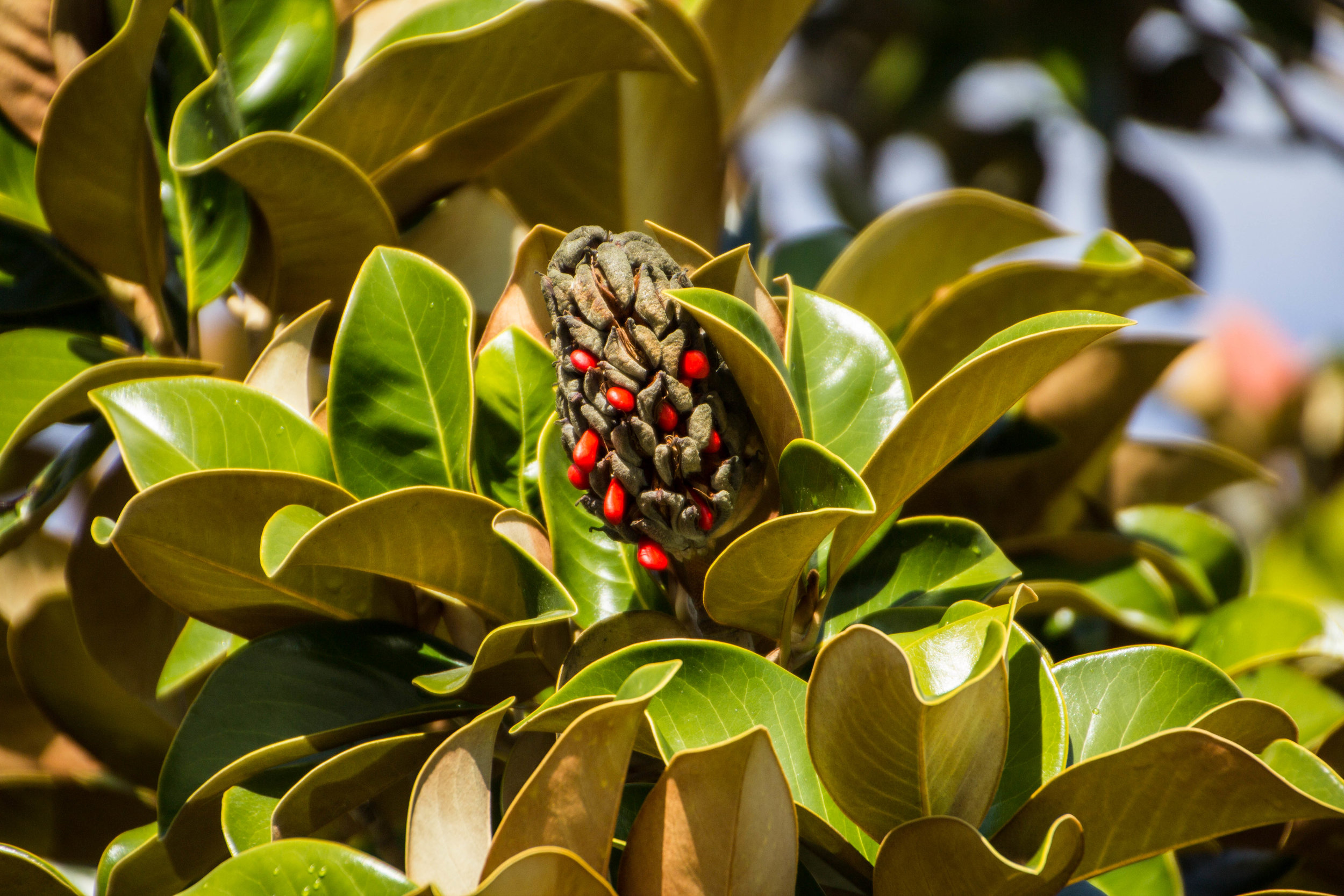
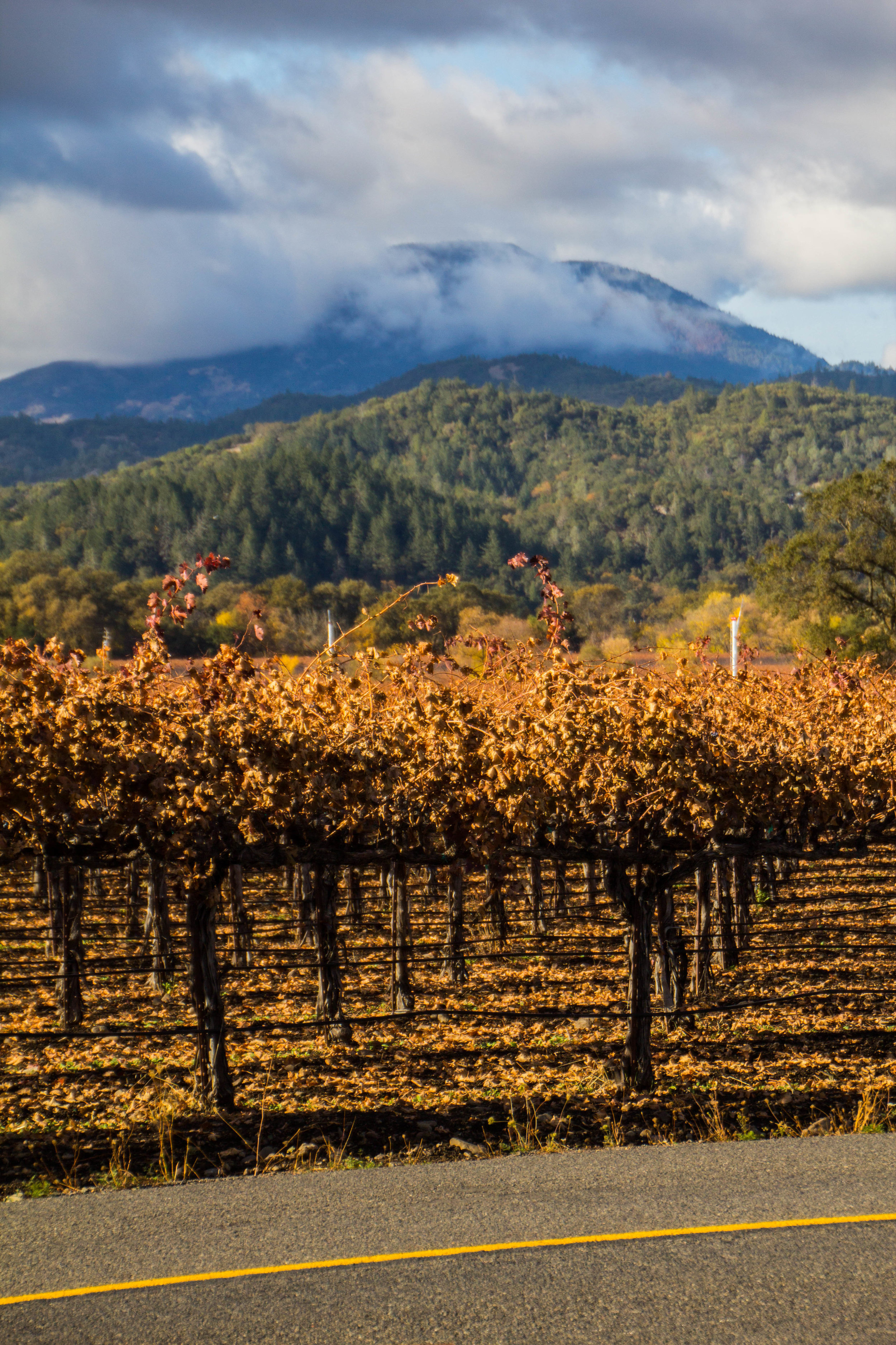
We did this drive over Thanksgiving, and the fall colors in the vineyard were INSANE! I’m probably a vineyard n00b, but I was not expecting this level of color! The surrounding foliage is mostly pine trees, but where there were patches of trees who’s colors had also changed, things really went to the next level. The views out our car window were pretty spectacular.
We did stop to do a wine tasting at a vineyard early in our trip—it was great, but by the time it was over we were a little tipsy and had already spent too much money. Both of these are bad things for people who are a) driving a car, and b) on a budget. So we swung through a random A&W burger joint for some fast food, and then got back on the road. One day I'm sure I’ll be back in Napa with a lot more time and money to spend getting drunk in wine tastings… but it wasn’t this day. Here are some of my favorite pictures that I took between Napa and Calistoga. Actually, some of them are out in the mountains around Calistoga—the vineyards continue for miles on all sides of the actual “Valley” part of Napa County.


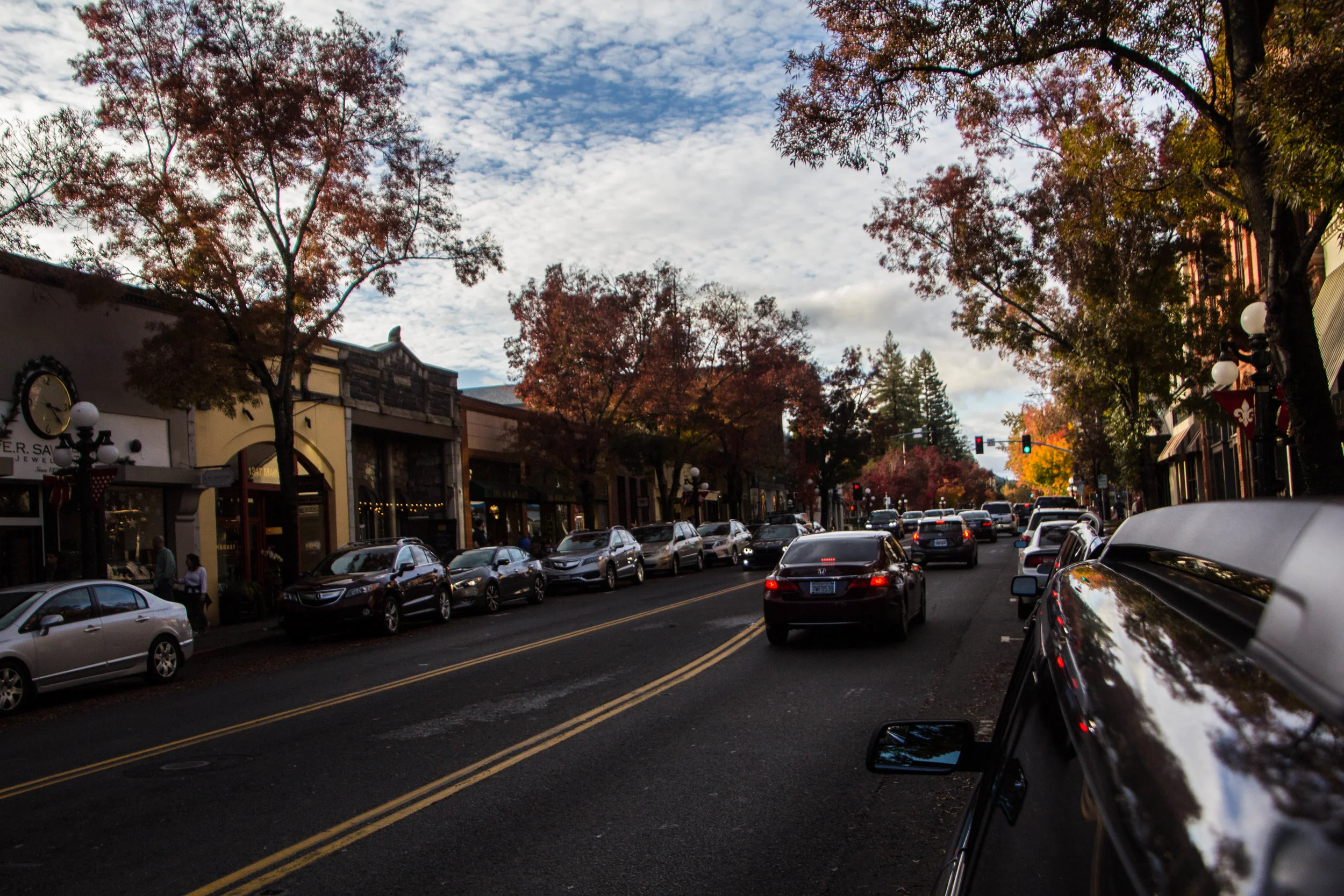
The towns you’ll find up and down this valley are definitely charming, but often quite touristy as well. Most storefronts are boutique clothing outlets catering a class of people that has a lot more money to spend than myself, and souvenir shops. Where things start to get interesting for me are the mix of coffee shops and restaurants in each of these places. And the towns themselves are easy on the eyes as well. Most are small enough to be very walkable, and have the quality of feeling historic, like they were once part of the “wild west.” You’ll get this vibe from lots of small towns across Northern California.
The pictures below were from a quick walk we took through the town of St. Helena. Again, for the record, Calistoga is also a very cool little town. It was not a bad place to call home base. It looks very similar to St. Helena.


Driving back out of wine country at sunset was a STUNNING journey. As we entered Sonoma county, slowly but surely we began to see the vineyards fade away to general agricultural land. Grape vines and wine barrels were replaced with fields of cows and hay bails. And the high-end establishments common in Napa county quickly reverted to the types of mom & pop truck-stops you’d expect driving on small rural roads anywhere else in the U.S.
The craziest thing about this drive to me was how close to San Francisco we were before the civilization started to picked back up. The photos at the bottom of this gallery were taken right on the water at the northernmost stretches of the San Francisco Bay. Literally 20 minutes from the Golden Gate bridge. This is one of the biggest cities in the country, but the urban sprawl weirdly goes every available direction but north. To the south there is no break in city for HOURS—you’ll have to make it through Palo Alto, San Jose, Silicon Valley, etc. before the traffic subsides again. And to the East you have the entire Oakland metro area, which is substantial unto itself. I don’t know how it came to pass that 20 minutes north of San Francisco’s financial district looks like Big Sky Country… but we’ll add it to the list of reasons why I LOVE LOVE LOVE San Francisco and the Bay Area.


Within a few minutes of these shots, the massive organism known as San Francisco was swirling around us once again. This is the final piece in this mini-series on the Bay Area, but before we move on, I’ll end with a track of the day. This song came on the mix as we were driving through the shots above, and immediately came to characterize the entire experience for me.
Mr. Sam Beam everyone.