

Here are the most recent articles...
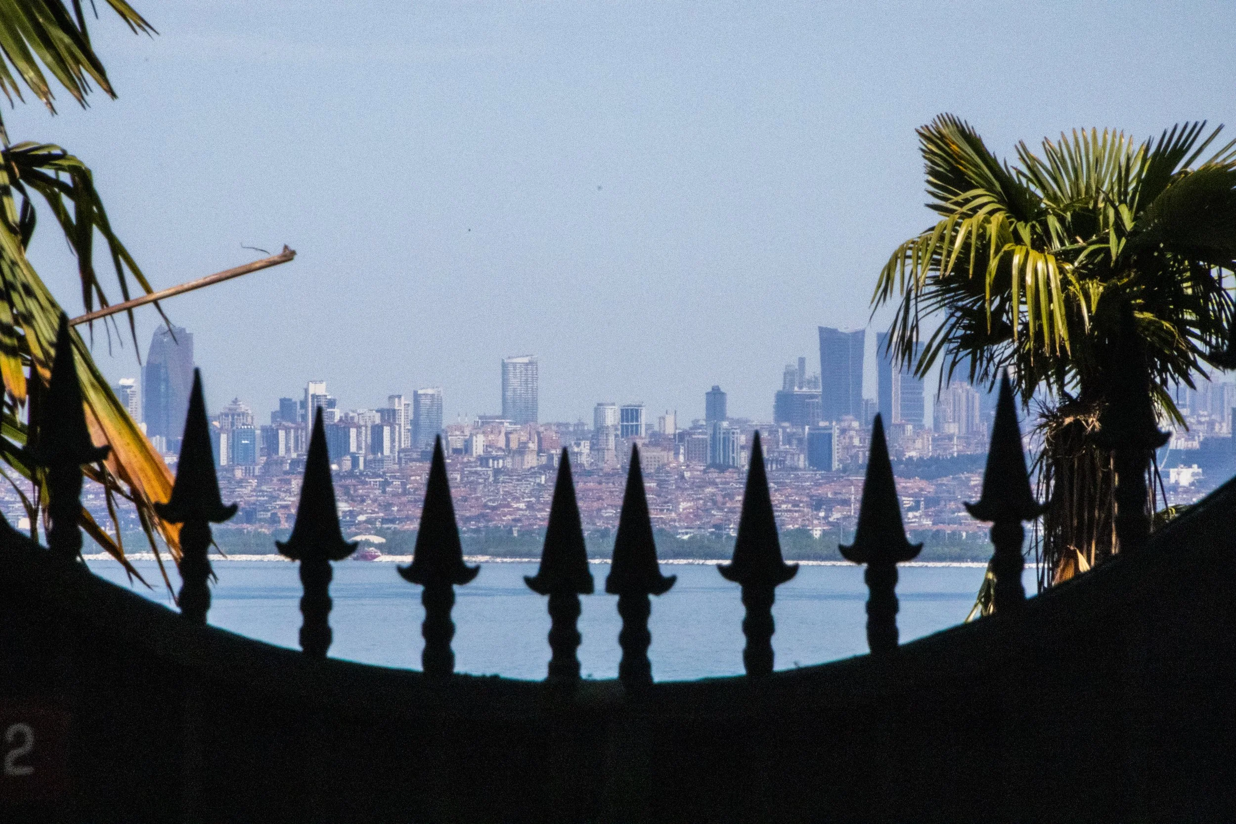
Istanbul has a chain of islands just off the coast that contain full-on neighborhoods. The Princes’ Islands are a chain of 9 islands just off the coast of Istanbul in the Sea of Marmara, but only 4 of them have substantial populations: Büyükada, Heybeliada, Burgazada and Kınalıada. Combined, they constitute the Adalar district of Istanbul. This is an interesting area to explore not only for the scenery, but because these islands embody and preserve the diversity of Istanbul in some fascinating ways.
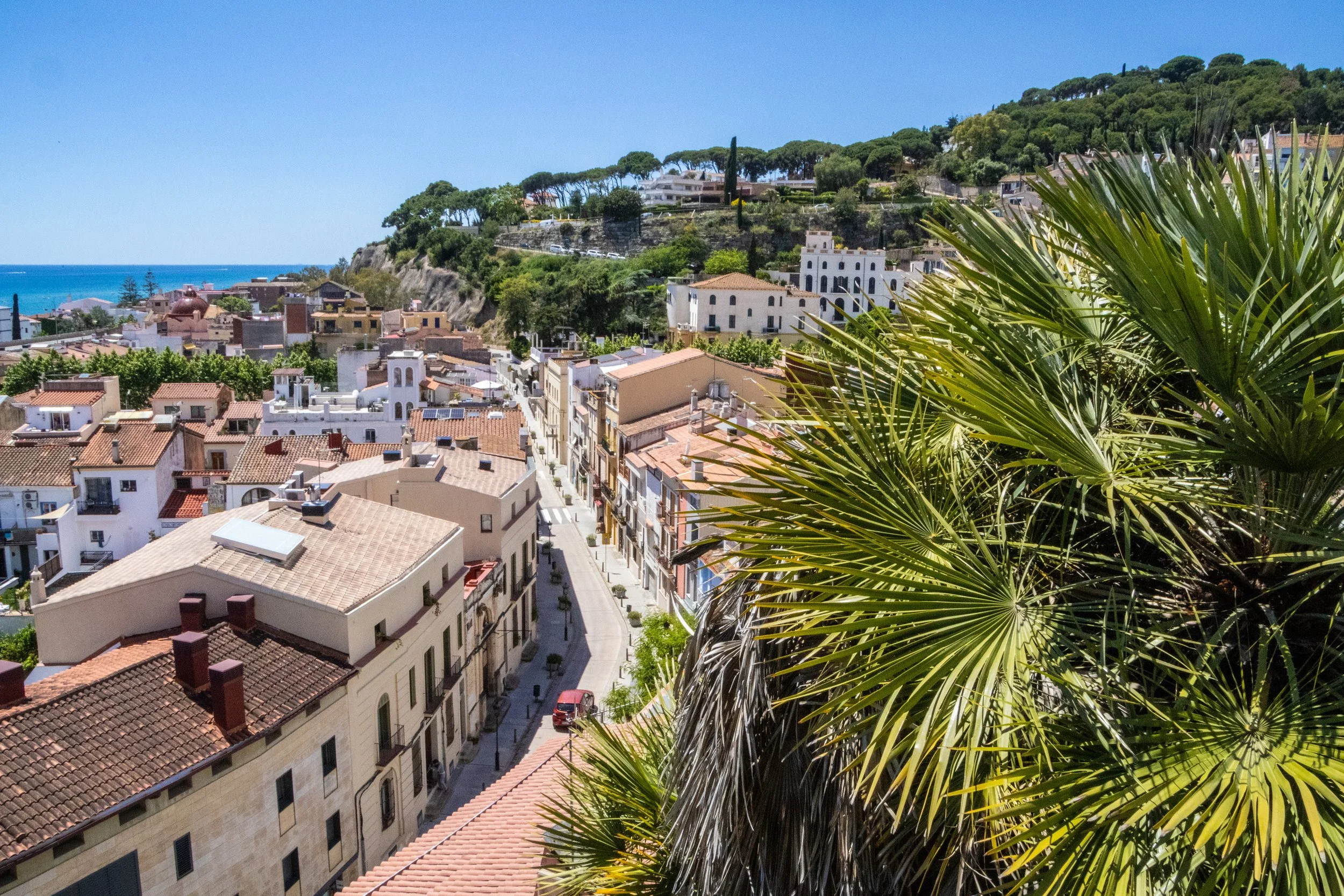
As chance would have it, on a quick errand into town, we’d spotted an old brick tower protruding through the trees off in the distance. We were standing on a ridge when we spotted it, and this was on the ridge opposite us, with a valley in between. THIS, we decided, WAS THE DESTINATION FOR OUR QUEST.
Honestly, if we never found our way up to this tower, that would be fine. But it gave us something to orient ourselves toward. The journey is what counts, right?
Well, the journey did not disappoint!
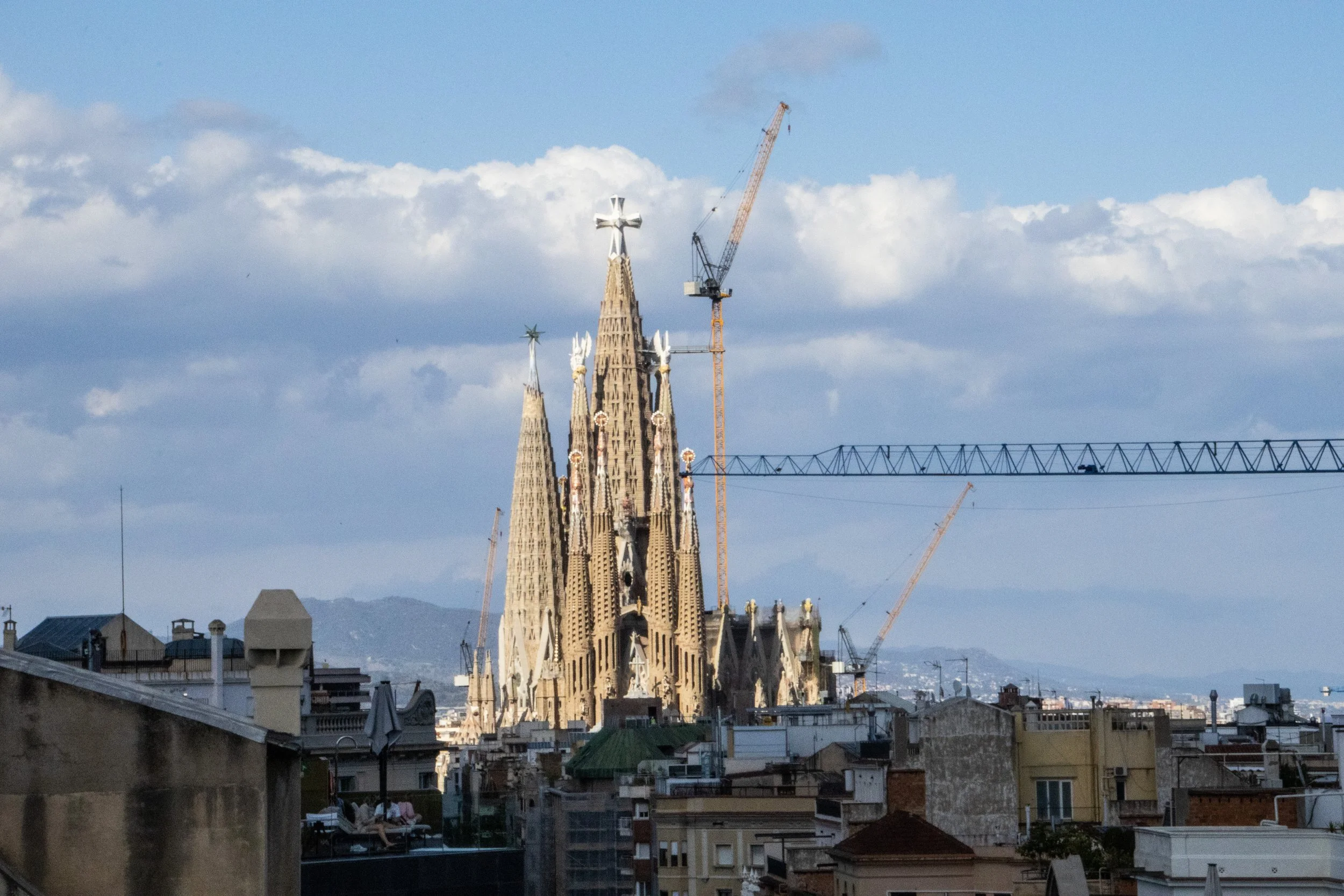
There are few cities on earth—certainly none more notable than Barcelona—whose architectural identities have been shaped so profoundly by just 1 person. Sure, other famous architects have left their mark on some of the other great cities of the world over the years, but none that I can think of whose work has so strongly and completely defined the identity of a single city as Antoni Gaudí for Barcelona. You may never have even heard of Gaudí, but if you know anything about Barcelona, chances are good that when you picture this city, you are picturing something that originated in this guy’s imagination.
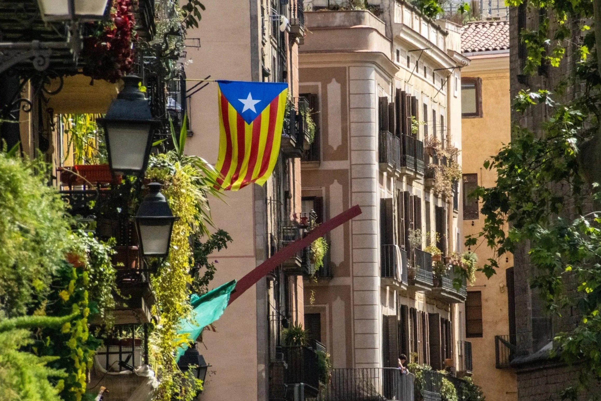
With a metro area population of ~ 5.5 million people, Barcelona is the 2nd largest city in Spain, behind only Madrid. By basically every quantifiable metric— population, economy, political power, etc.—Madrid is the larger city. But when it comes to travel, especially international travel, this relationship reverses. Barcelona is far-and-away the favorite destination for international tourists visiting Spain. And, when you consider the fact that Barcelona also covers a much smaller land area than Madrid, the concentration of international tourists becomes much more intense. Barcelona has indeed struggled to accommodate the levels of tourism it is now receiving, but it’s easy to see why the whole world is so interested in coming here! Sandwiched between the Collserola mountains and the Mediterranean Sea, Barcelona is an absolutely idyllic city. And once you’re in the middle of it, it’s incredible how quickly the Catalan identity eclipses that of Spain.
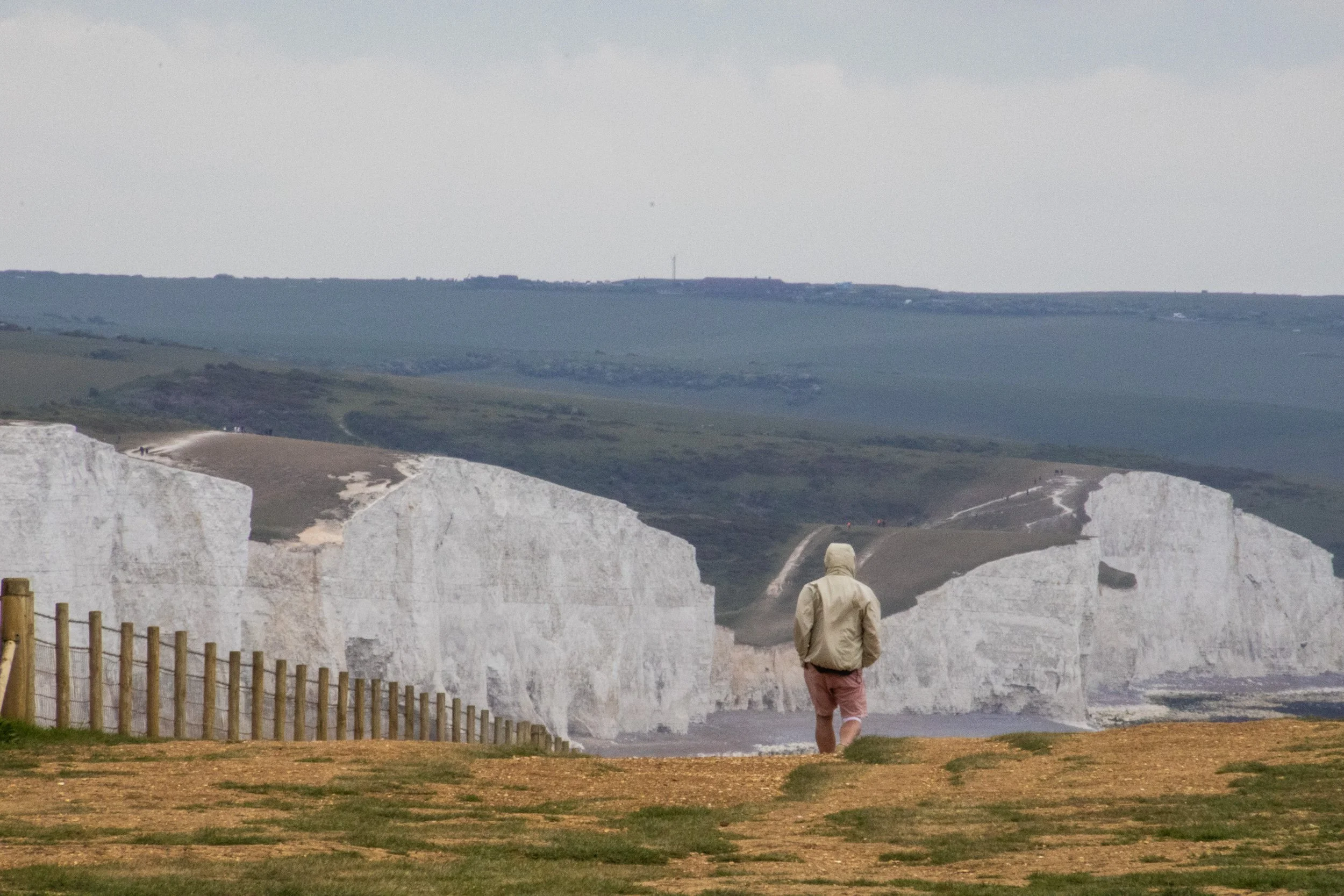
So, the “Sisters” are a series of massive hills that have each essentially been sliced down the middle by natural erosive processes to reveal massive, sheer cliffs that stretch along the English coastline like a series of rolling waves. To make the scene all the more striking, these cliffs are entirely white. Perhaps you’ve heard of the “White Cliffs of Dover”? This is part of the same system of cliffs, which is called the “South Downs”, but Seven Sisters is arguably even more iconic because the entire stretch has been kept completely natural and undeveloped. The white color comes from the fact that the earth here is made of an extraordinarily pure form of limestone: chalk! Indeed, the earth here contains about 98–99% calcium carbonate, with very little clay or sand, making them appear dazzlingly white! They stay so white because they are in a constant cycle of erosion, where after some time the outer layers of chalk crumble away revealing fresh, white chalk.
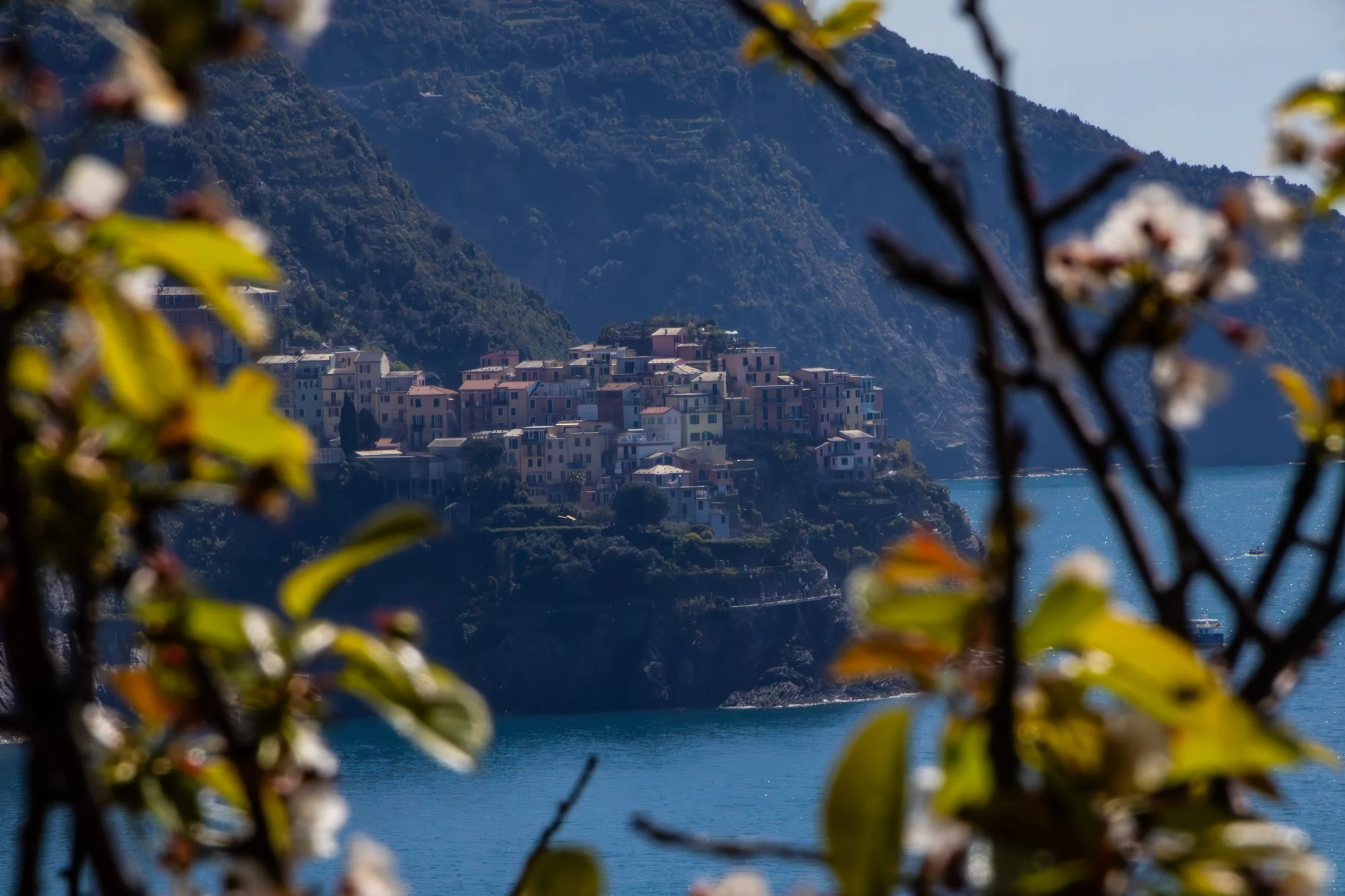
“Cinque Terre” literally translates to 5 lands, and indeed, it is not 1 place, but 5 places. It is a collection of 5 historic towns dotting the rugged, mountainous Mediterranean coastline between La Spezia and Genoa. These towns emerged between 1000 and 1200 AD, and—in their prime—were able to flourish because they combined fishing, boat building, agriculture, and maritime trade. You’ll hear them referred to just as “fishing villages” but that is only part of the story. Agriculture is also massively important to the appearance of these towns even today. The main staple of these towns, in additional to olives, was wine.
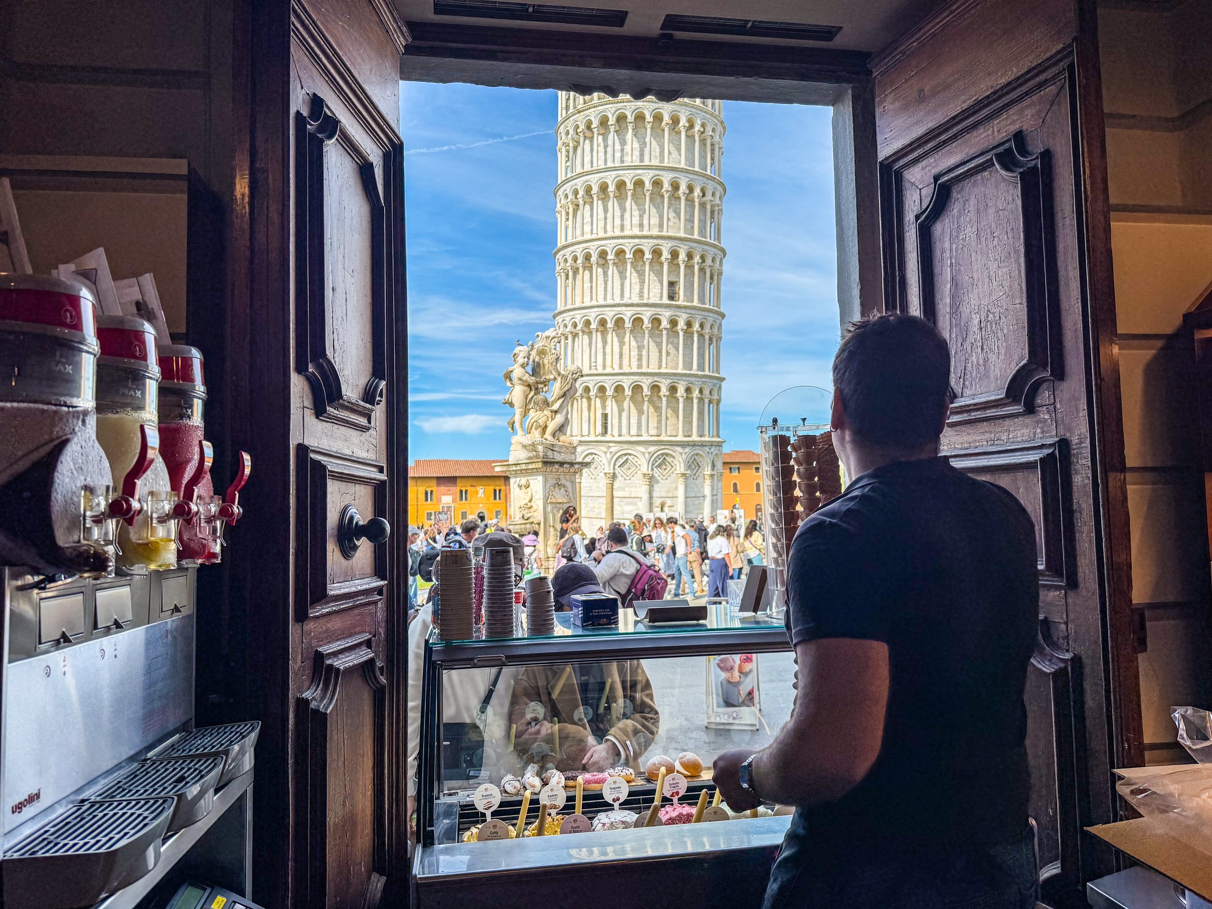
I doubt you will be surprised to learn that the Leaning Tower of Pisa was actually not supposed to lean. In 1173, when work began on this structure, the intention was for it to just be your typical free-standing bell tower. Although I should acknowledge that there was really nothing “typical” about this in the 1100s; Italy was leaps and bounds ahead of (most of) the rest of the world, which is part of what makes these sites so incredible. Anyway, construction took about 200 years, including an almost 100-year-long pause due to wars and political instability. It was officially finished in 1372.
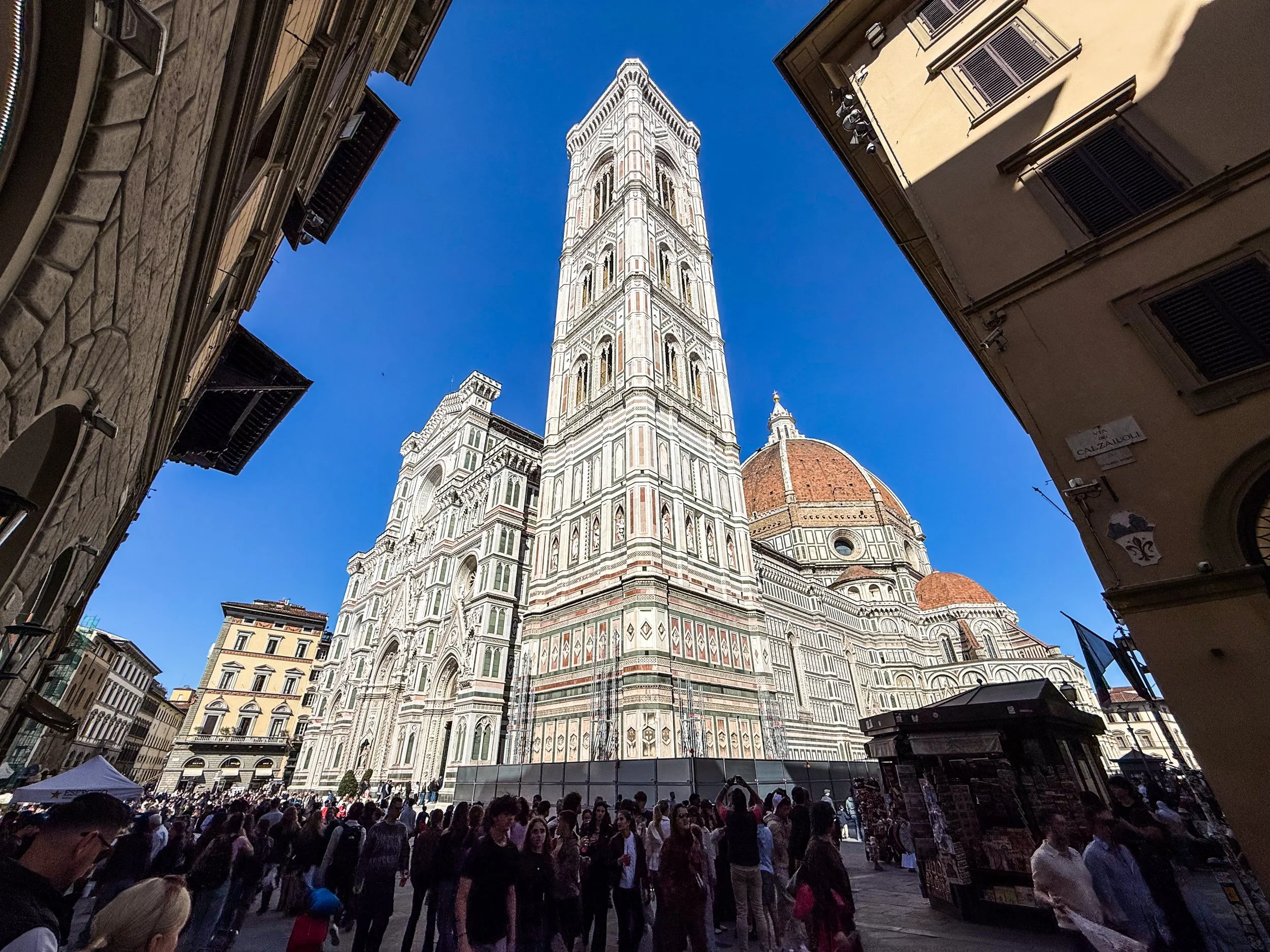
Although Florence was founded under the Romans in 59 BC, its meteoric rise did not begin until about ~1,000 AD. The intervening years saw Florence weather Gothic invasions, Byzantine rule, Lombard control, Frankish conquest under Charlemagne. A thousand years of the same struggle for incremental gains that most every city in the world was experiencing, until Florence’s petri dish yielded something entirely unique. Going into the 1400s, Florence had a unique combination of enormous private wealth, political competition, educated merchants, civic pride, and intense rivalry among wealthy families. You might assume that they the powers that be would opt to duke out their competitions in war, business, and industry (and there was certainly some of this), but the Florentine elite chose a new arena for competition: the arts. You may have heard of the Medici? This was one of those wealthy families that is famously supported some of the artists that would establish Florence as a cultural juggernaut and kick-start the Renaissance. They even have their own Netflix show now.
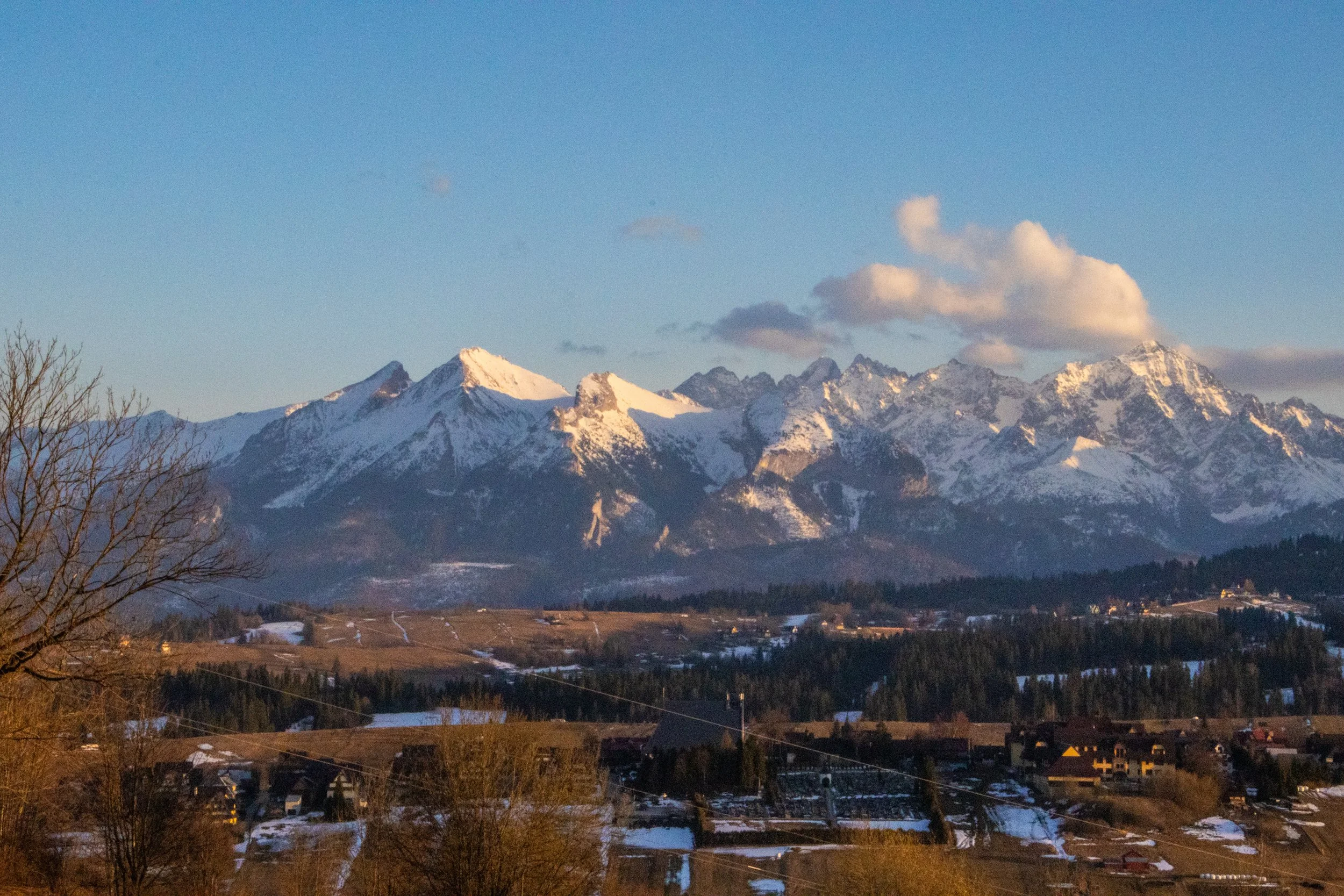
Poland’s reputation is for being an overwhelmingly flat country, and that is mostly true, but its far southern border, which it shares with Slovakia, is marked by a particularly jagged section of the Carpathians known as the Tatra Mountains. Although they are much smaller than other European mountain ranges—such as the Alps, Pyrenees, and Caucasus—they are extremely dense, rugged, and beautiful. In fact, they are SO beautiful that—although they only stretch about 57 km (35 miles)—the Polish and Slovakian sides receive a combined ~8.5 million visitors per year, skewed toward the Polish side. That makes them the most intensely visited mountain landscape per square kilometer in Europe. And yet, I’d never even heard of them before this trip!
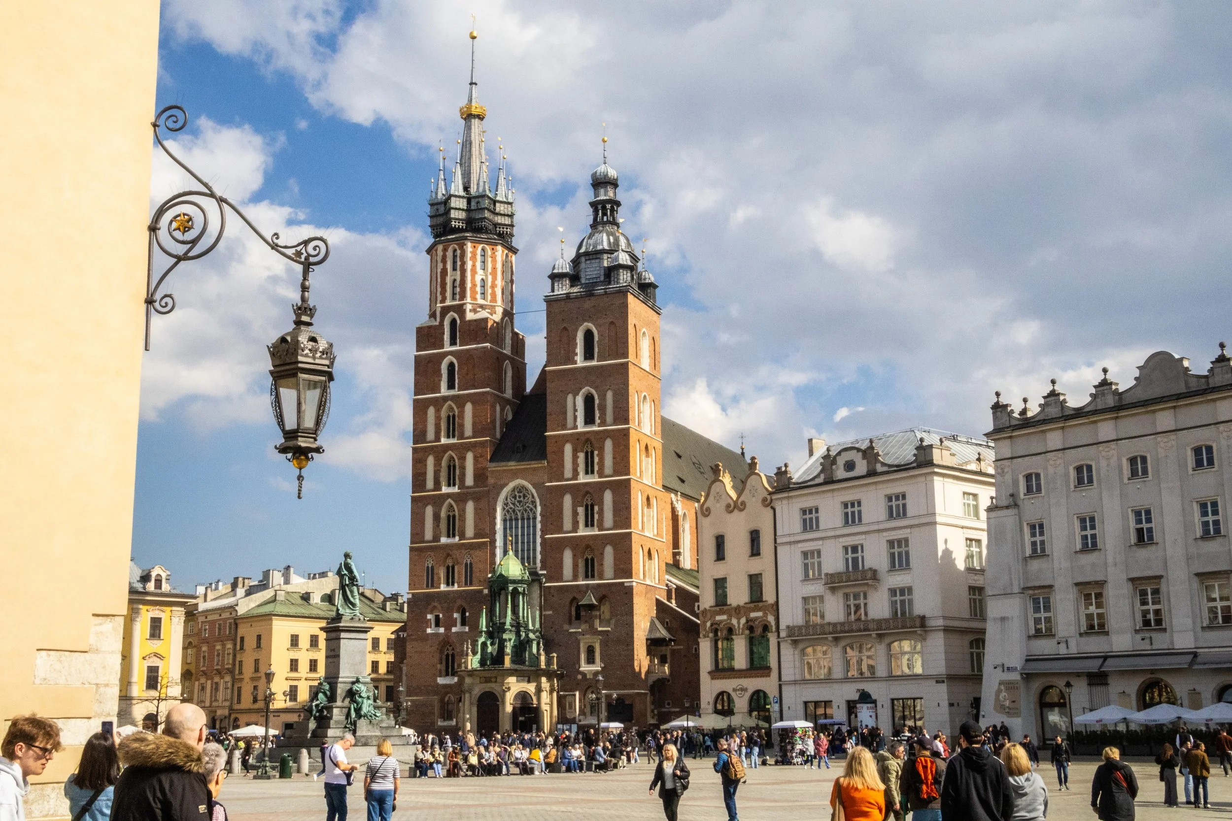
It’s a new country for Peter’s Big Adventure! Welcome to Poland 🇵🇱
Our journey in Poland starts in Krakow. This is a city that I knew first from the WWII history books, and later as a desirable and beautiful European destination that I’d be well-advised to bump up to the top of my priority list of future trips. Indeed, Krakow is many different things to many different groups of people, and today we’re going to do our best to understand as many of these layers as we can. So let’s get started, eh?
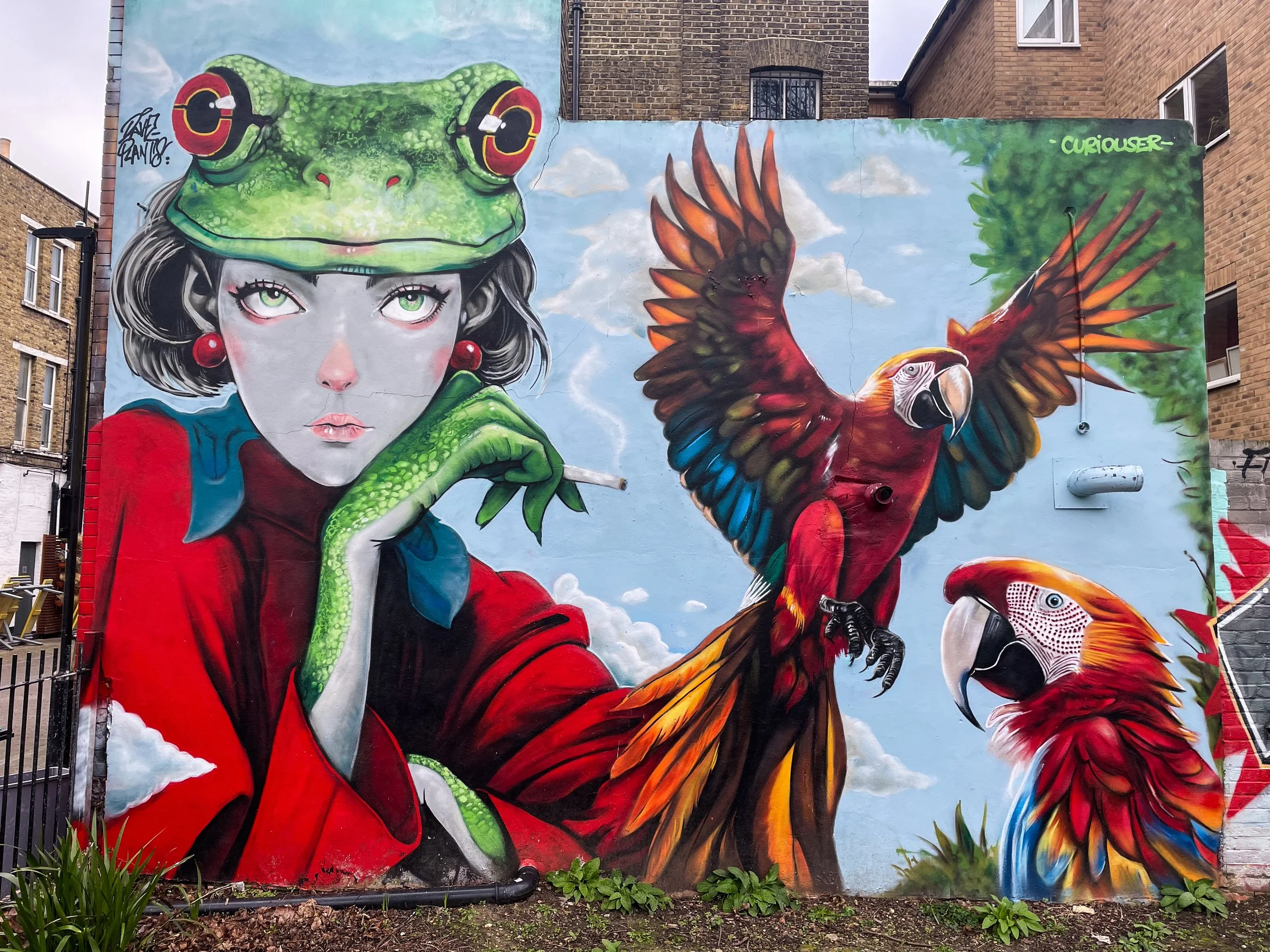
In this article, we’re going to be agnostic with the location within London. Indeed, this article has been sitting around as a ‘draft’ since 2023, and I have just been adding to the gallery every time I walk by a mural in my day-to-day life. So, I stumbled onto all of these randomly, and accordingly, they are really from a random collection of places. I think the London neighborhoods covered here include Camberwell, Stoke Newington, Little Portugal, Bow, Bethnal Green, Walthamstow, Peckham, Hackney, Finsbury Park, Waterloo, Nunhead, Stockwell, Fitzrovia, Clapham, Earl’s Court, Soho, Notting Hill, Streatham… and probably more!
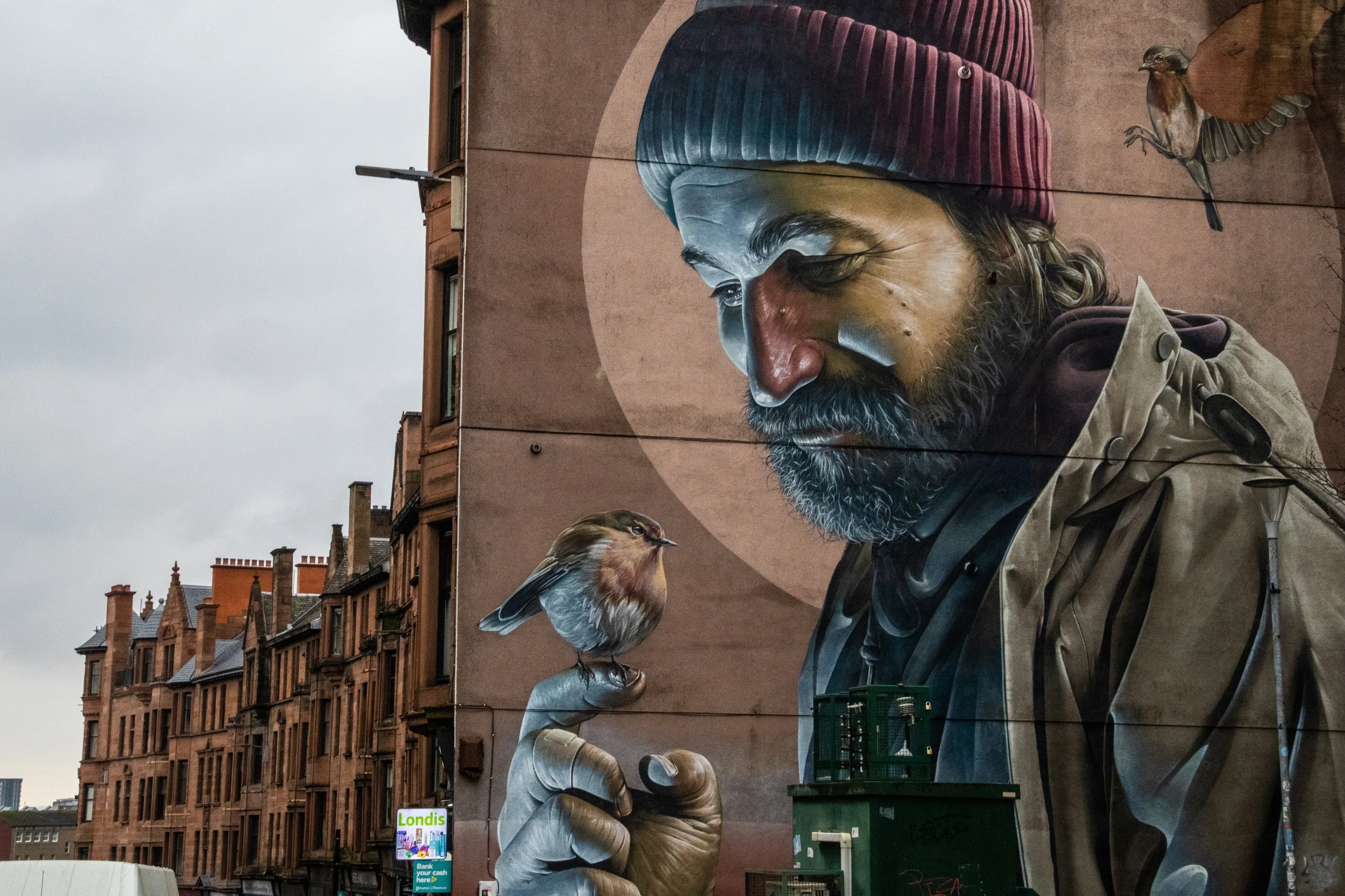
It turns out that Glasgow has a reputation for murals! The one at the top of the gallery below is, perhaps, the most famous of them all. It was done by an Australian-born street artist named Sam Bates, better known under the moniker Smug. He’s offered little information on the intended symbolism of the mural, but because the subject is holding a robin and appears to have some sort of halo—both imagery that were/are commonly associated with St Mungo—the mural has been widely interpreted as a modern St Mungo. The mural’s close proximity to Glasgow Cathedral, which is the resting place of St Mungo, serves to reinforce this.
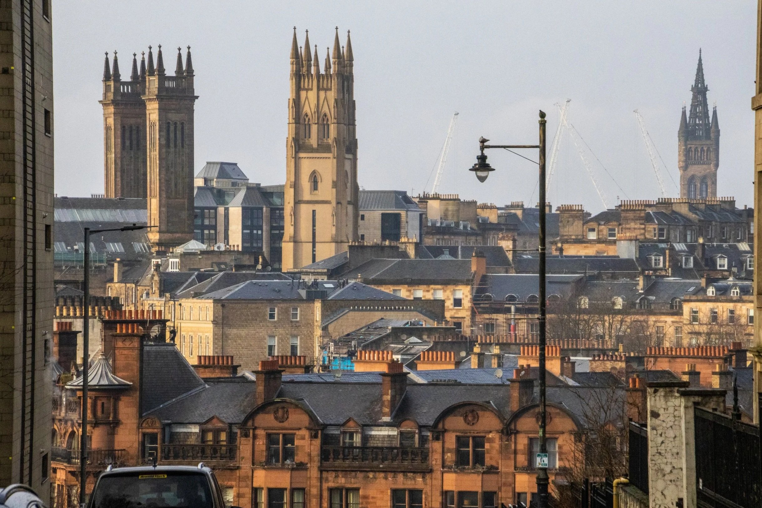
When you think of Scotland, I’m betting you don’t immediately think of Glasgow. You probably think beautiful scenes in the Scottish Highlands, or the charming cobblestone streets of Edinburgh. Indeed, this is the image that Scotland likes to show to the outside world, but the largest city in Scotland is actually not Edinburgh; it’s Glasgow! With a metro area population of ~1.8 million, the joke goes that this is where Scots actually live. It could be said that Edinburgh and Glasgow are two sides of the same coin. They are the largest two cities in Scotland, and they are literally right next to each other at only 70-80km (45-50 miles). Edinburgh is smaller, but it is the administrative, governmental, diplomatic, academic, and financial hub of Scotland. It’s well-connected, it’s expensive, and it’s posh. Glasgow, on the other hand, is none of these things.
You’re gonna love it. 😉
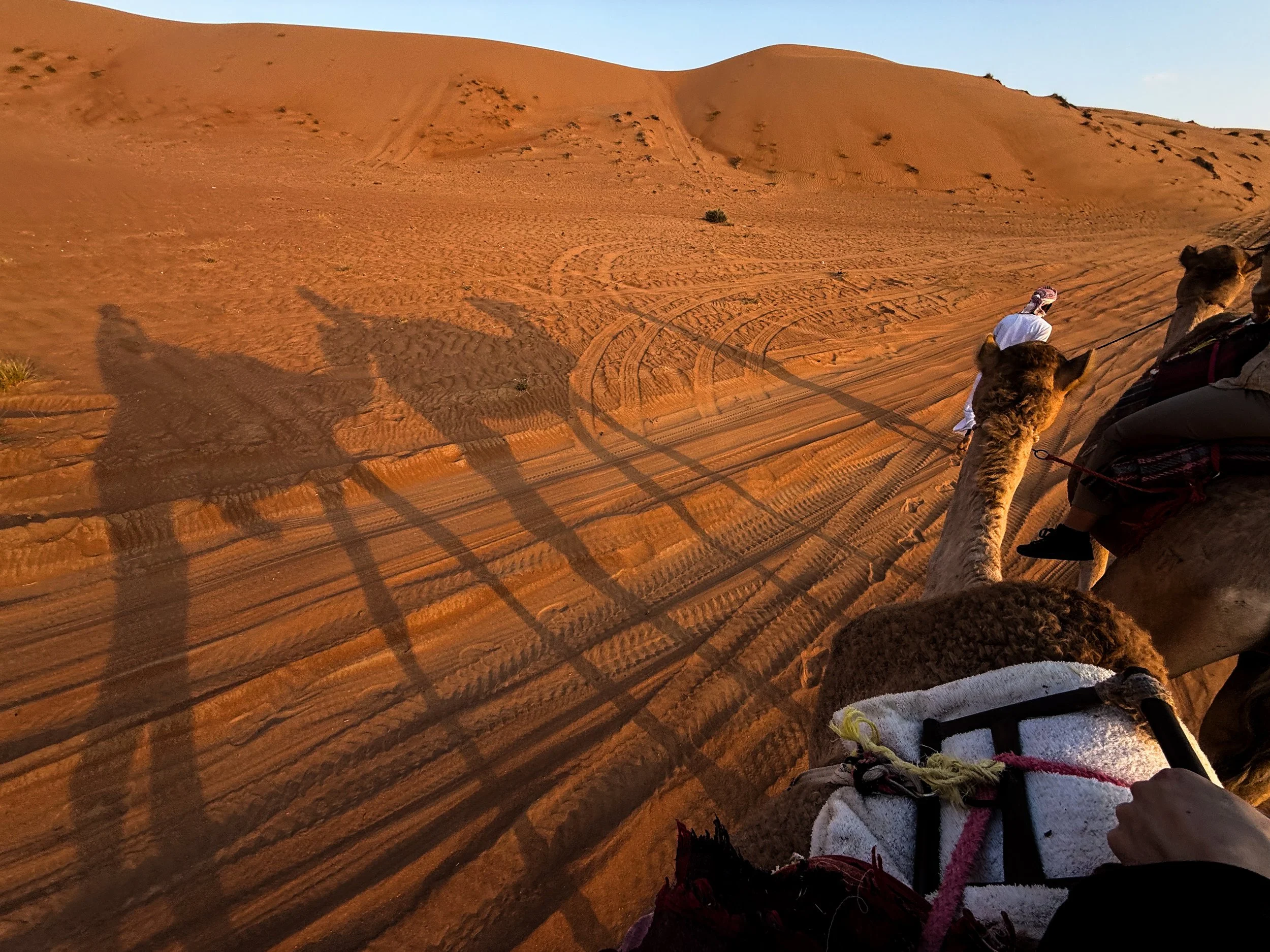
From Saudi to the UAE, to Yemen, to Oman, there are all lots of sub-regions of the Arabian Desert, which have emerged over time based on a combination of local tradition, geographical features, and scientific classification. The geography of this particular corner of the desert is largely dominated by long, parallel dunes (also called longitudinal dunes). A single dune can stretch from 5–20+ km (3–12+ miles) in length. And, in terms of height, they can reach 100 meters high (330 feet). To put that into perspective, that could be roughly equivalent to a 30-storey building!
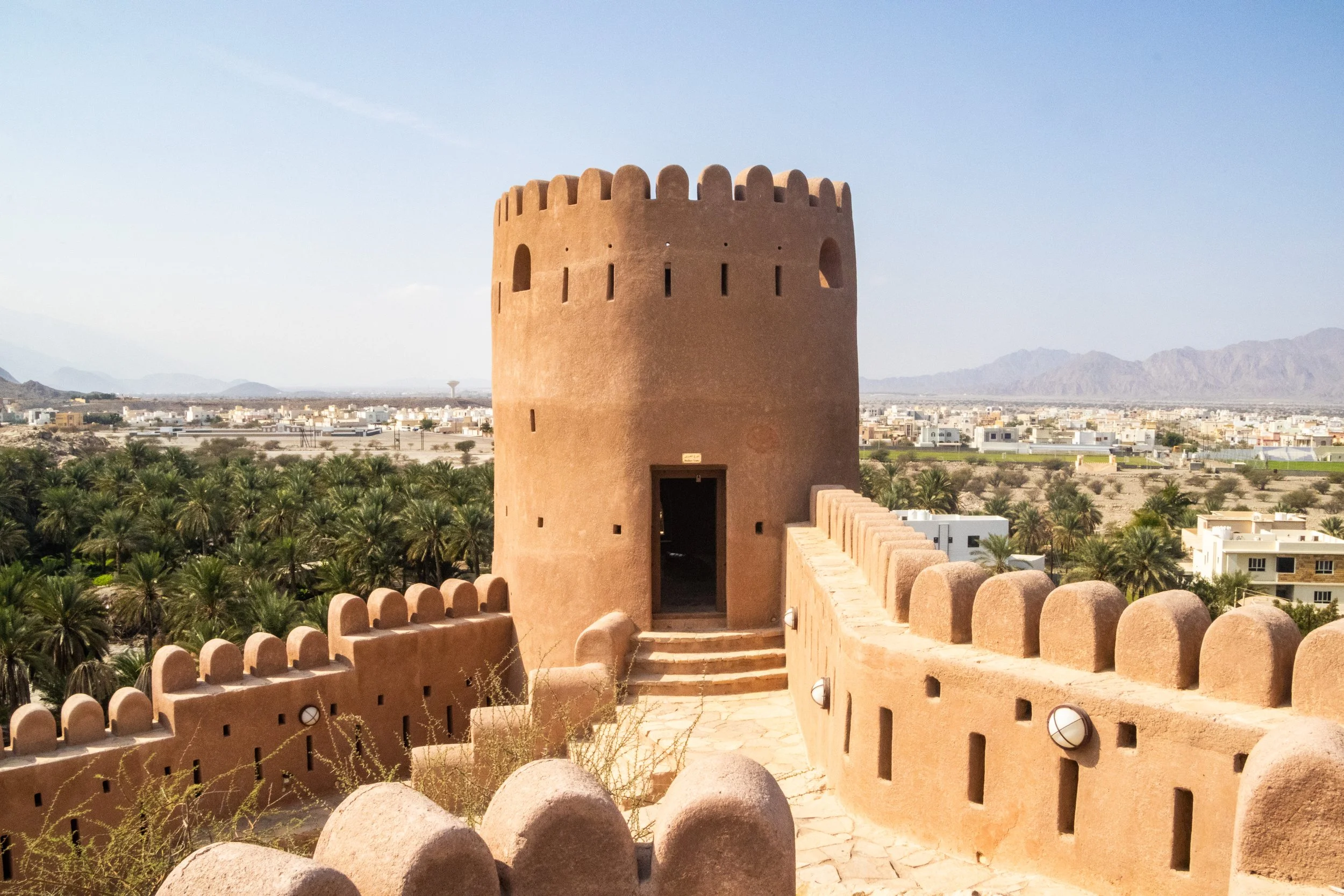
The theme of today is old Arabian fortresses scattered throughout Oman’s Al Hajar mountains. Oman has a lot of these old relics, and we’re going to be visiting 3 of them. We’ll start with Nakhal Fortress, move on to Bahla Fortress, and finish with Nizwa Fortress, which is actually part of a very cool little town bearing the same name. In the past two articles, there was a LOT of information about Oman and the geopolitical neighborhood it calls home. Admittedly, during these articles I was still getting my feet under me in this new country. But this is where we’re going shift gears from educational exploration to something a bit more fun.
So, go use the bathroom now because it’s about 1 hour from Muscat to Nakhal, and we’re not going to stop until we get there. 👀
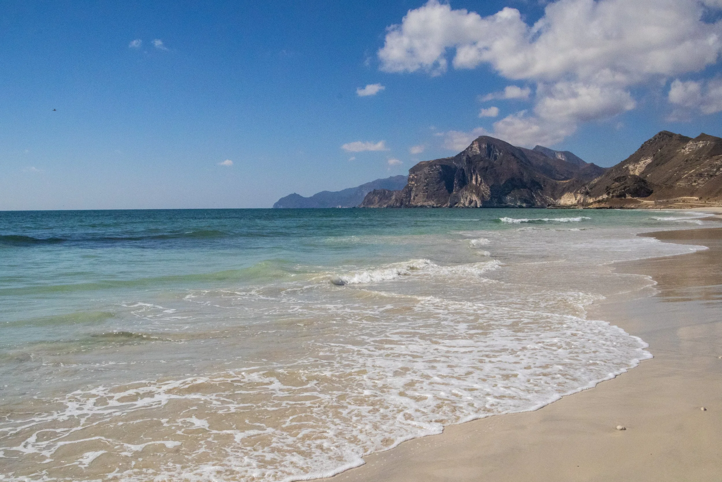
The first time I learned about Dhofar was actually in a BBC nature documentary! Although they are pretty obscure in the wider world, within Arabia the Dhofar mountains are quite famous for the incredible transformation they undergo each year during the monsoon season. During the “Khareef” (the local name for the monsoon season), this whole place transforms from a desert into a massive, green oasis! It happens from June to early September, peaking in July and August and, in addition to being misty and wet (already very unusual within the region), Dhofar also becomes much colder than the rest of the Gulf. There even seasonal waterfalls that pop up all over the mountainous landscape! During this time, there is a huge influx of tourist (mostly from Saudi Arabia and the UAE) that come in to enjoy the greenery and cool temperatures. There is even a Khareef Festival that happens during this time. UNFORTUNATELY, we’re not visiting during the Khareef. This visit happened in mid-December, so Dhofar will be in peak-desert mode.
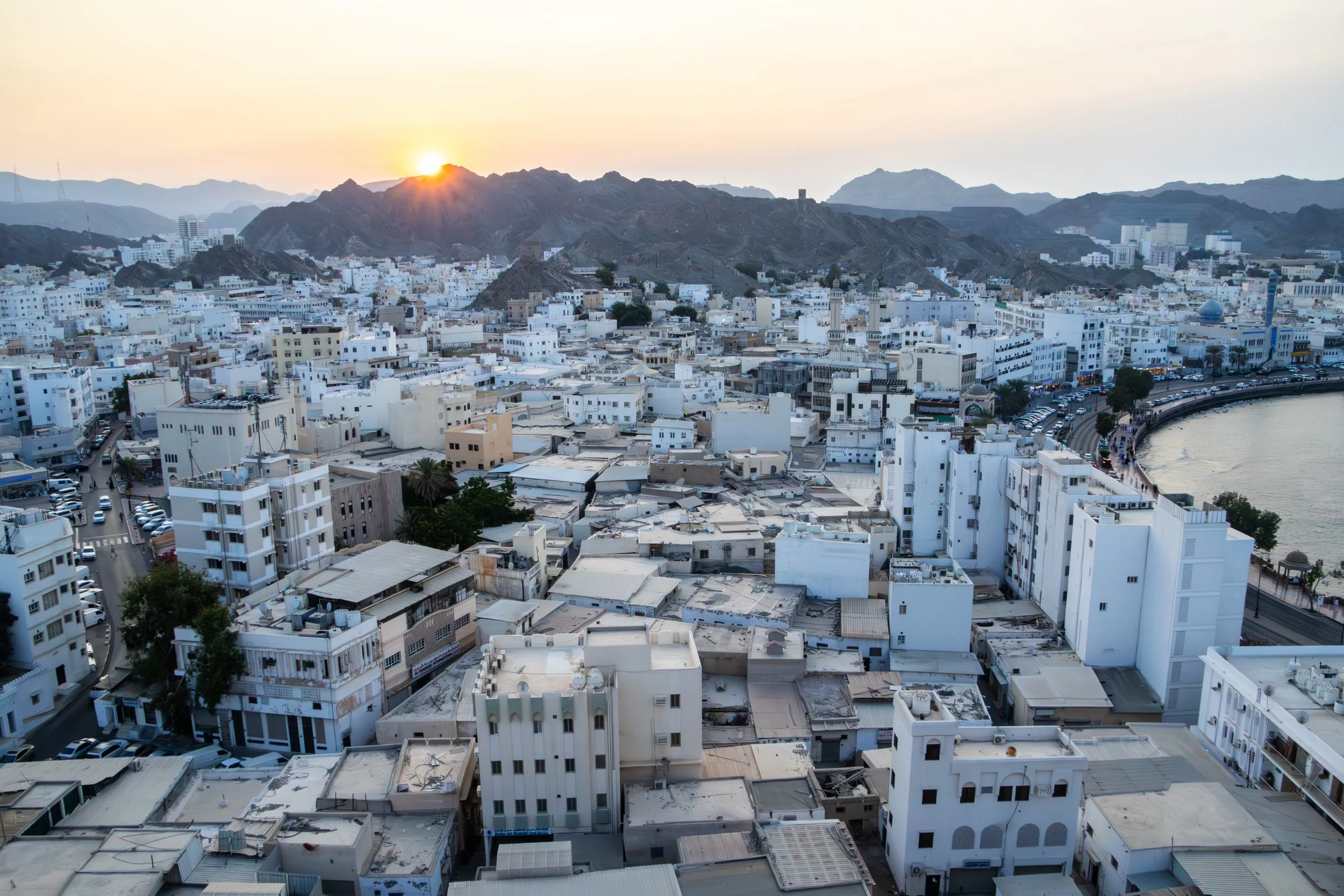
Bourdain said it best: “The Sultanate of Oman defies expectations”. It occupies a very tricky slice of the map indeed, a smaller nation holding its own against all odds in some extremely treacherous geopolitical waters. Its neighbors are the war-torn, perpetually-collapsing Yemen, the conservative and ruthless Kingdom of Saudi Arabia, the opulent, high-flying United Arab Emirates (UAE), and Iran, which needs no introduction. It also shares responsibility with Iran for the Strait of Hormuz; maybe you’ve heard of it? Literally the entire world has had their eyes glued to this strategic global choke point on the world’s oil supply for the past few months… things are TENSE. And right in the middle of this pressure cooker sits Oman: safe, moderate, reserved, modest, welcoming, and beautiful.
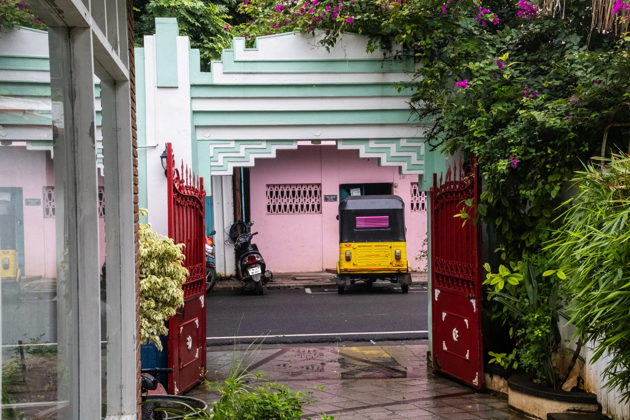
My fascination with Pondicherry began many years ago when I saw it in the movie Life of Pi. It’s an incredible film, and while most of it takes place at sea, the beginning of the film, as well as the narration throughout, is all set in this idyllic French colonial town in India. Of course I was curious about this place, so I looked it up, and there it was: Pondicherry! It had been sitting on a quiet part of South Indian coast this whole time, but there weren’t many major cities around it so my eyes had never lingered on this particular part of the map. I remember thinking that this far-flung place seemed a bit surreal… it looked like France… but it was in India? I knew very little about South India at the time, and I’d probably never go there… but the way it was represented in the film was absolutely intoxicating!
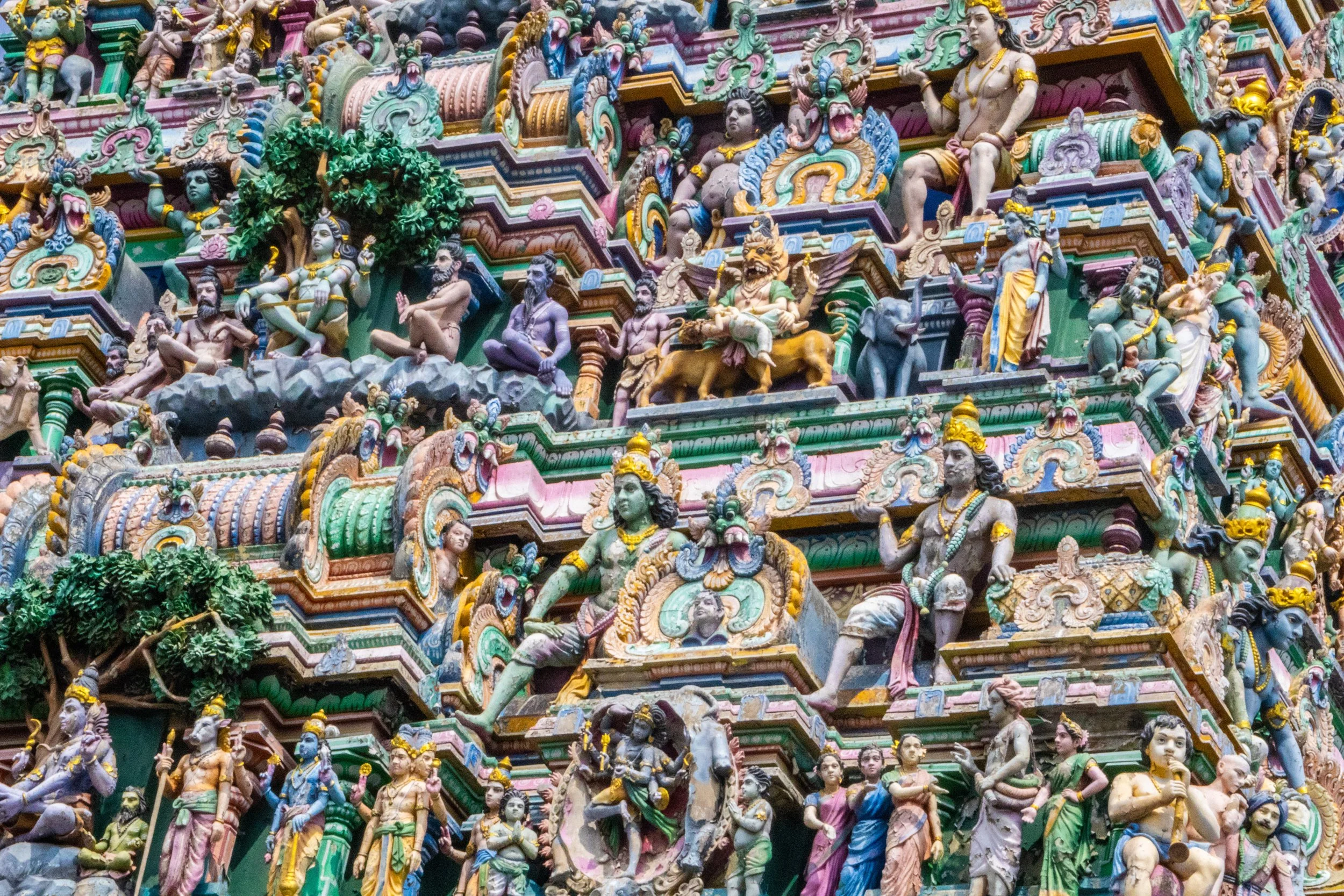
With a metro area population of roughly ~14.5 million people, Chennai is currently the 4th largest city in India, behind only Delhi, Mumbai, and Kolkata. It’s also the capital of the Indian state of Tamil Nadu, which is the formal administrative division corresponding to the Tamil cultural identity. Tamil culture is unique because it is one of the most ancient surviving cultures not only in India, but in the whole world. Its roots can be traced back to ~300 BCE and the Tamil language—one of the world’s oldest living languages—has more than 2,000 years of recorded literature. The Tamil-verse includes multiple different religions (such as Hinduism, Islam, and Christianity), so religion’s typical role as a cultural unifier does not apply here. In its place, the language itself has taken on a unique level of significance.
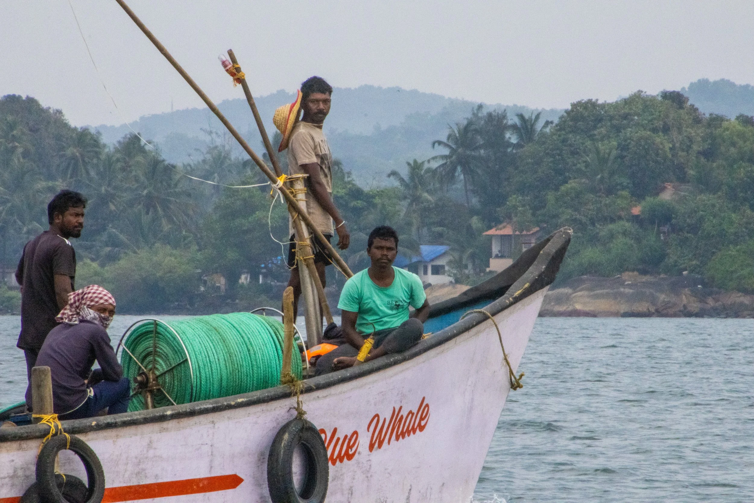
So, what exactly is Goa? Because it’s so tiny, I was surprised to learn that it is actually a stand-alone state in India, on the same administrative level as Uttar Pradesh, Rajasthan, or Maharashtra! Indeed, it is the smallest state in India, and its modern-day borders correspond to the legacy boundaries of Portugal’s once-upon-a-time colony on the Indian Subcontinent.
We mostly associate India’s colonial period with Great Britain, but France and Portugal both had small carve-outs in South India too. When the British finally left India shortly after WWII, the newly independent Indian government had expected Portugal to pull out of Goa as well, but Salazar (dictator of Portugal at the time) had other ideas. Long story short, India reclaimed Goa from Portugal via military force in 1961. The story of Goan identity as it relates to India and Portugal is quite complex, so I won’t delve into it fully here; hopefully in a future article. But I will tell you that Portuguese culture is still part of Goa’s DNA. It’s even got a large catholic population, which is quite out of place in India.
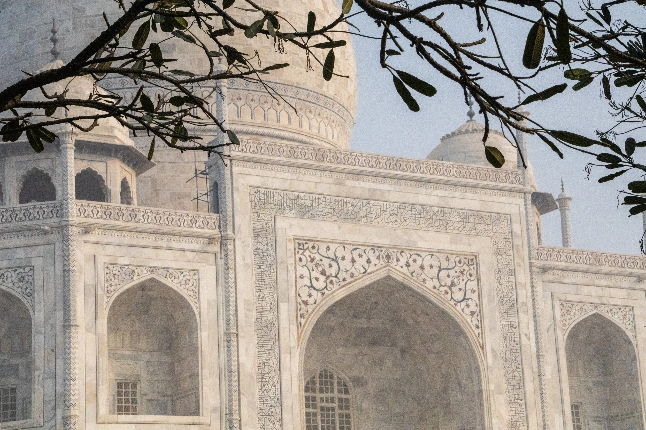
When I first began traveling, my operating assumption was that pretty much everything was a “once in a lifetime experience”. Because, for most people, they are! “Next time” was absolutely never guaranteed. That was definitely the case when I visited the Taj Mahal for the first time in 2015. It’s only just now that I am starting to have the experience of going back to places I’ve already visited. Initially, I was resistant to this, but I’m starting to realize that life is a bit longer than I’d originally thought when I was in my early 20s… I have enough time to do things twice. Or, hell, maybe even 3 or 4 times if I’m lucky! But don’t worry—we’re going to be back to breaking new ground after this article. 😉
I wouldn’t be writing this article at all if I didn’t have a slightly new dimension I wanted to explore on this topic. Unfortunately, it’s pollution. I touched on this while I was in Delhi, but this little excursion was where the issue really slapped me in the face for the first time.
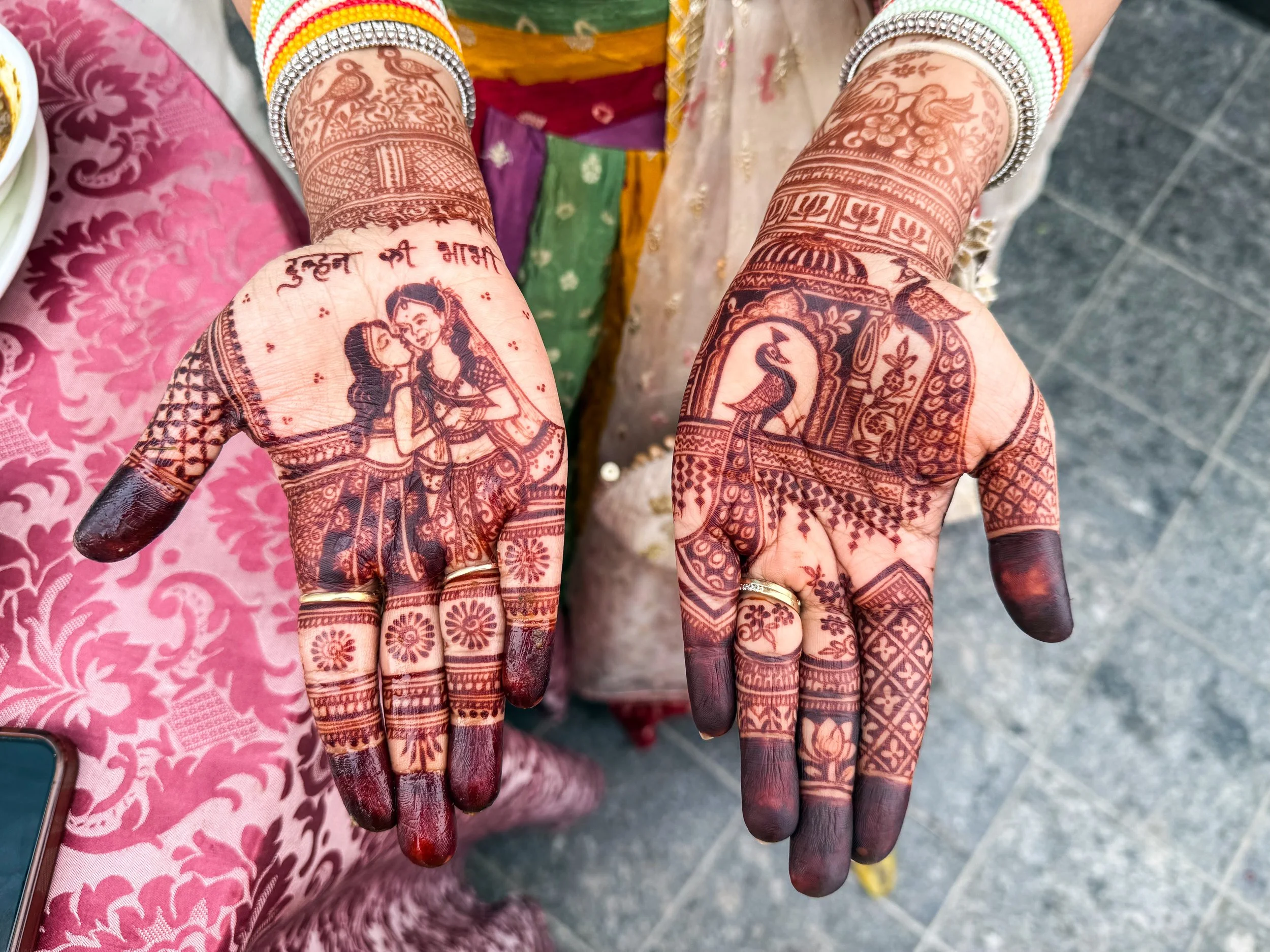
With a metro population of roughly 33 million people… (pause for dramatic affect)… Delhi is the largest city in the largest country on earth. In the overall world rankings, it is 2nd only to Tokyo, but it’s gaining ground fast! In the average Delhi day, there are ~837 births and ~360 deaths, which gives us a natural increase of ~477 people per day. On top of that, there are an additional 200–275 migrants that arrive here per day, mostly from neighboring countries, or rural parts of India. Meanwhile, Tokyo is actually shrinking.
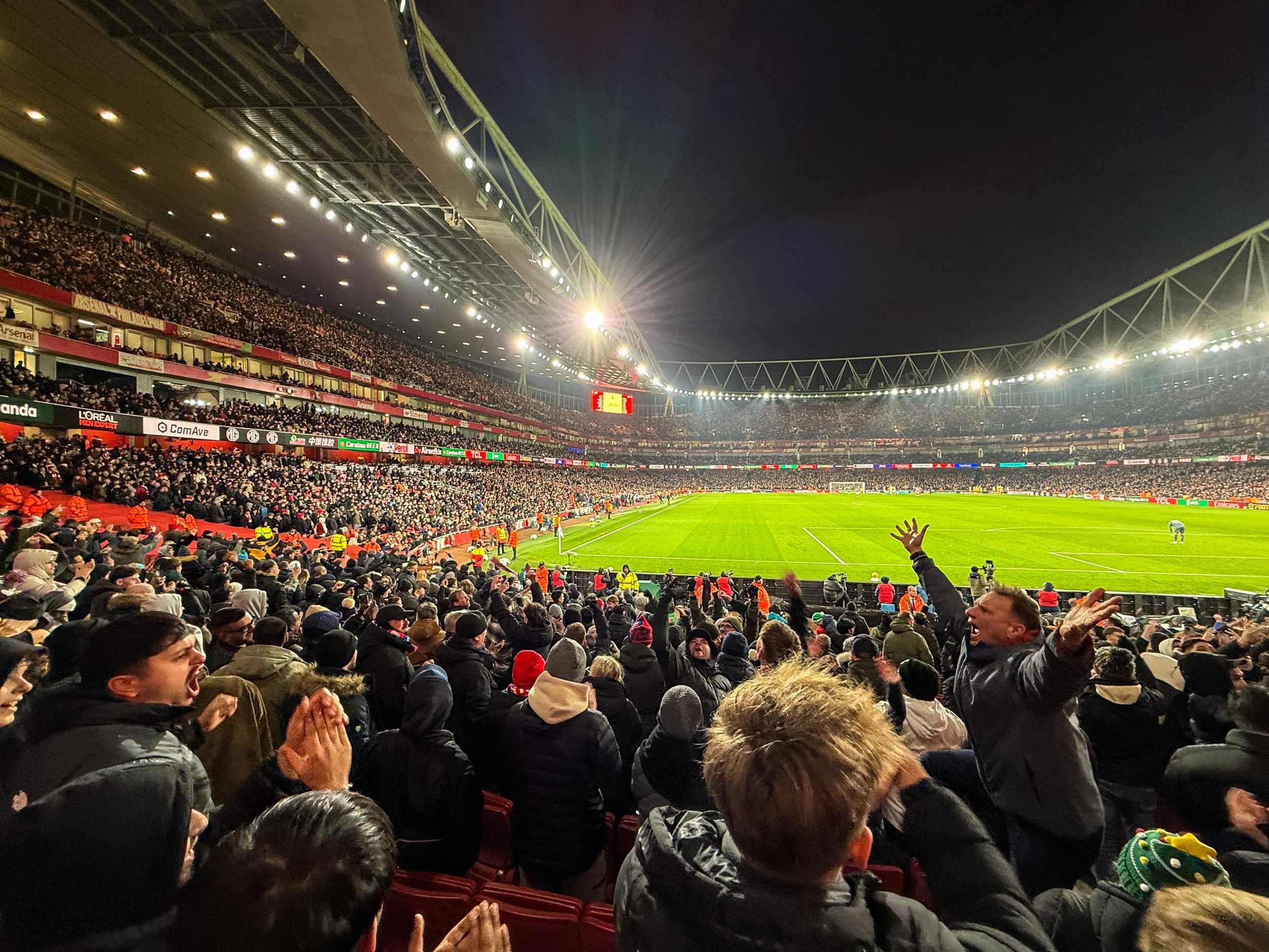
Today we return to football tourism with our quest to visit all the stadiums in the English Premier League. Up to this point we’ve covered Chelsea’s Stamford Bridge, Fulham’s Craven Cottage, West Ham’s London Stadium, Spurs’ Tottenham Hotspur Stadium, and Brighton’s AmEx Stadium. Now, at long last, we’re visiting Arsenal’s Emirates Stadium, which sits in North London, within walking distance of my new flat! We’re going watch the EFL Cup quarter-final against the classic South-London side, Crystal Palace.
So here’s our destination today, along with a couple of nice pictures from the walk over. This match took place on December 23rd, so you will see lots of Christmas imagery & references in the images.
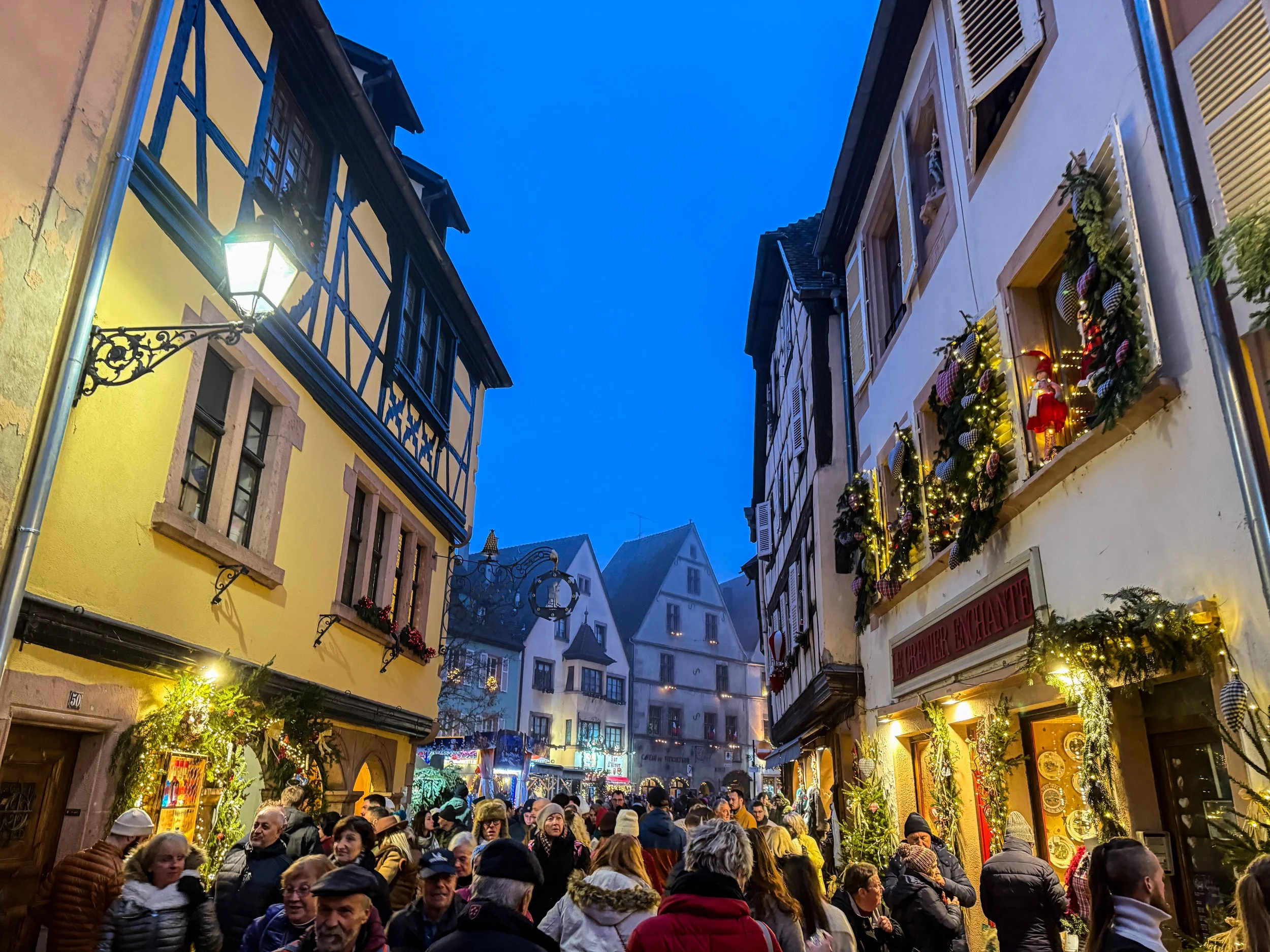
Here’s a fun fact for you: the concept and tradition of the Christmas tree originated right here, in Alsace! The first written records of Christmas Trees anywhere in the world first appear here in 1521, in a small Alsatian village called Sélestat. If you’d imagined there were snowy spruce trees in the Israeli desert for the actual birth of Jesus… I’ve got bad news for you. 😬
Anyway, Sélestat is about a ~20-minute drive from the places we’ll be visiting today! But this is not a historical expedition; we’re going to visit a few more present-day Christmas Markets!
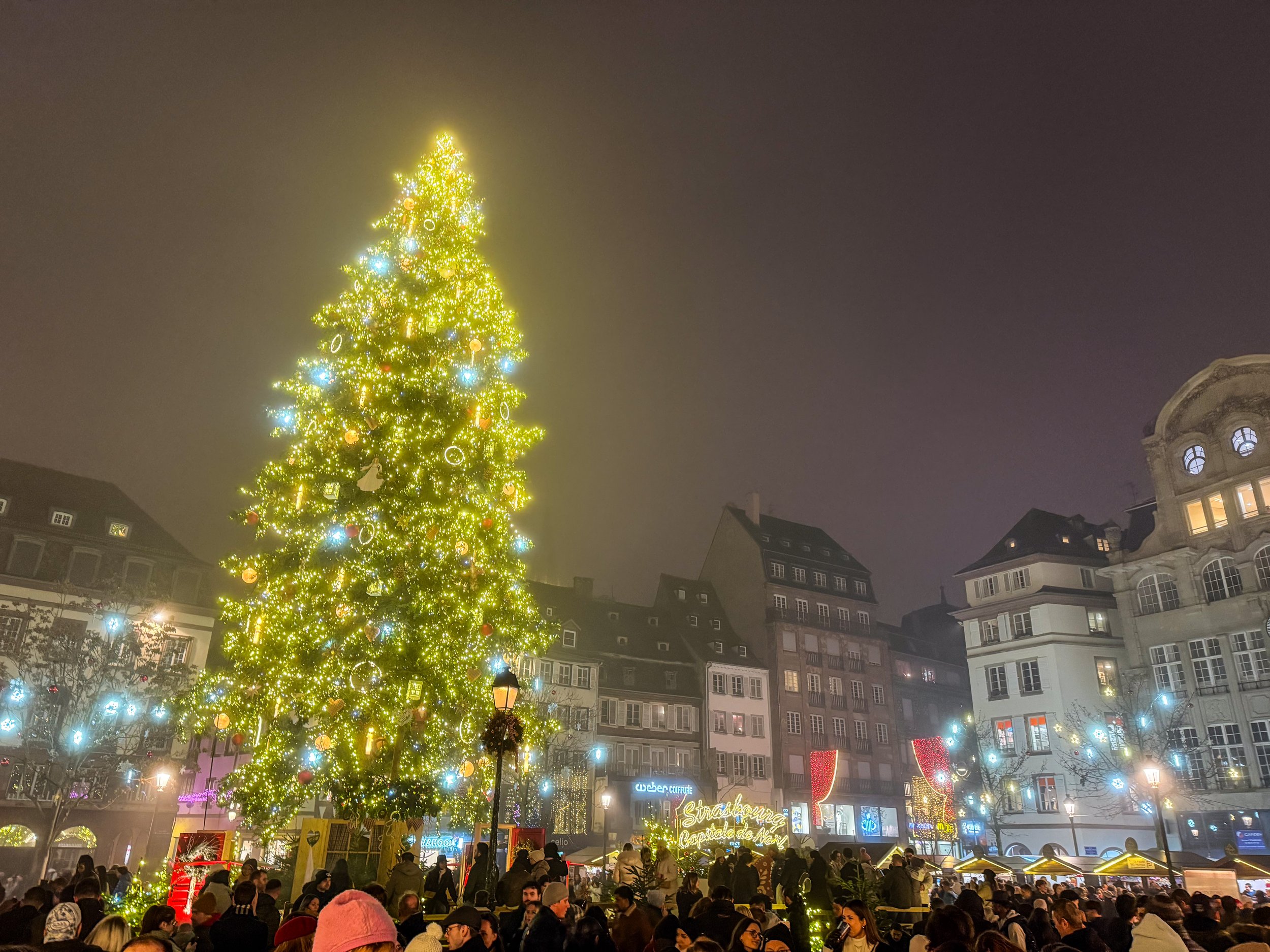
This is (probably) the oldest Christmas Tree anywhere in the world. The first written records of Christmas Trees anywhere in the world first appear here in Alsace in 1521. Those records actually come from a little town called Sélestat which is just south of Strasbourg, but the first records of Strasbourg’s tree follow soon after. At this time, Strasbourg was already the largest city in the region and record keeping was a bit spotty, so I think it’s fair to generally just award the title of “the Birthplace of the Christmas” tree to Alsace in general.
So, this isn’t just a Christmas Tree; this is THE Christmas Tree!

There’s a lot more to Bushwick than I’m going to cover here; it’s known for having a large Latino community, especially Puerto Rican and Dominican, and since the gentrification of Williamsburg, it has also become the new center of indie culture in Brooklyn. But that’s not what this article is about. Today, we’re here to go mural hunting!
We rode the L train to the Jefferson Street station in Bushwick, and basically from the moment I stepped out of the station, I was in mural heaven.
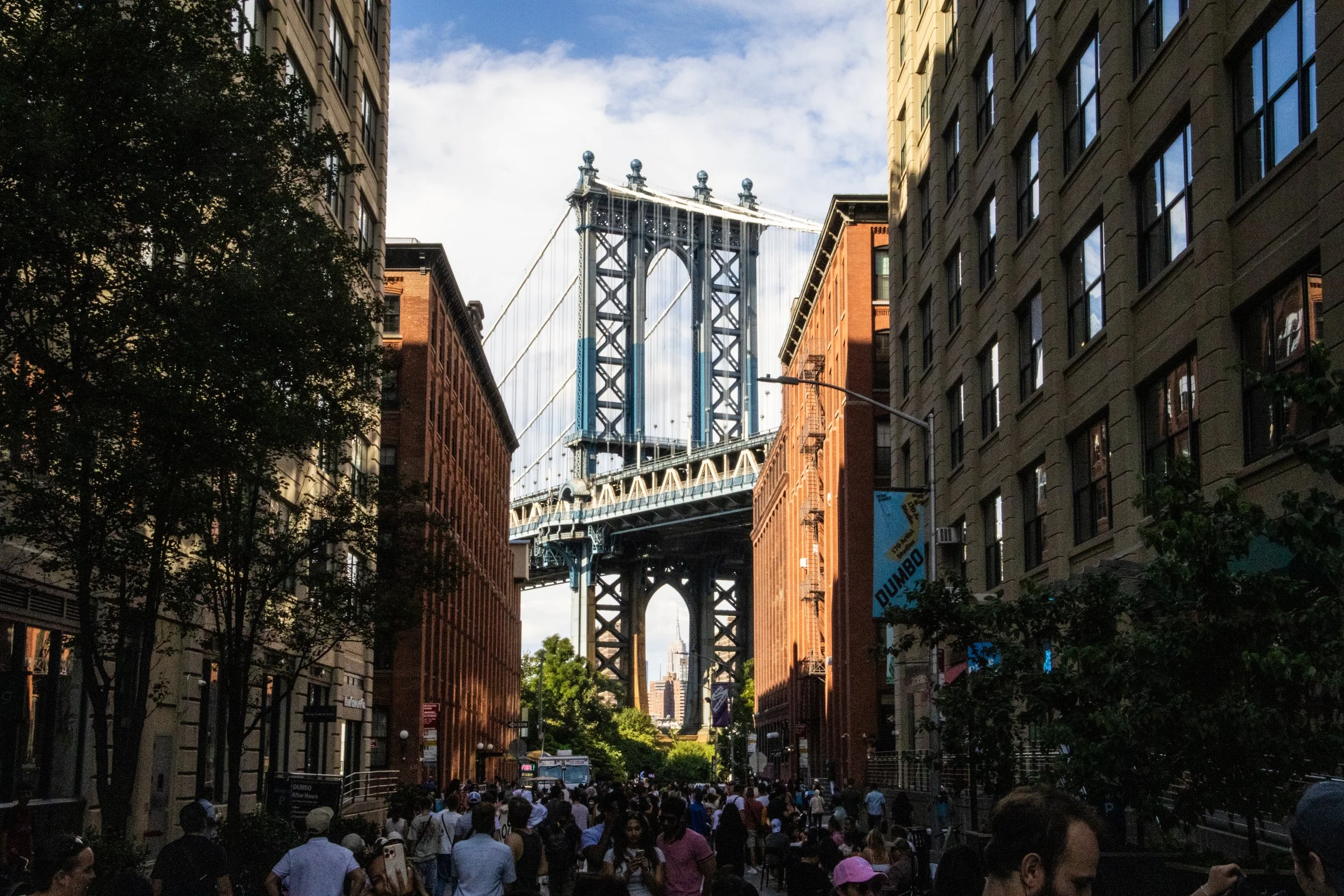
As one of the 5 boroughs of New York City (the others being Manhattan, The Bronx, Staten Island, and Queens), it’s home to some 2.6 million people, which—if it were a stand-alone city—would make it America’s 4th largest city, nearly as large as Chicago! It has a stand-alone GDP of approximately ~$120B, which—for context—is more than the country of Ethiopia.
The Rest of the Blog on Infinite Scroll…
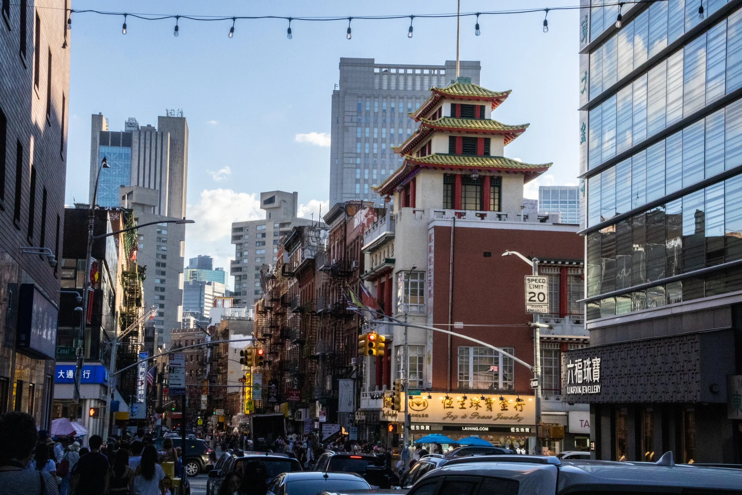
While the ascent of NYC’s Chinatown may have coincided with the shrinkage of Little Italy, giving the impression that the former was “taking over” the latter, the truth is that, by the 1990s, both of them were under equal economic pressure from encroaching gentrification and rising real estate costs. In spite of that Chinatown didn’t start to shrink until the early 2010s. By that point, as had been the case with the Italian immigrants who’d followed a similar path before them to achieve widespread integration into American society, the next generation of this Chinese community soon relocated to other parts of the city, especially Queens and Brooklyn. And just like Italians are now an integral part of the New York identity, this Chinese community is part of the deal now! There are 4th and 5th generation people of Chinese descent walking around New York, which means their families have been here longer even than mine! Cue my recommendation for you to go watch Nora From Queens. Great show.
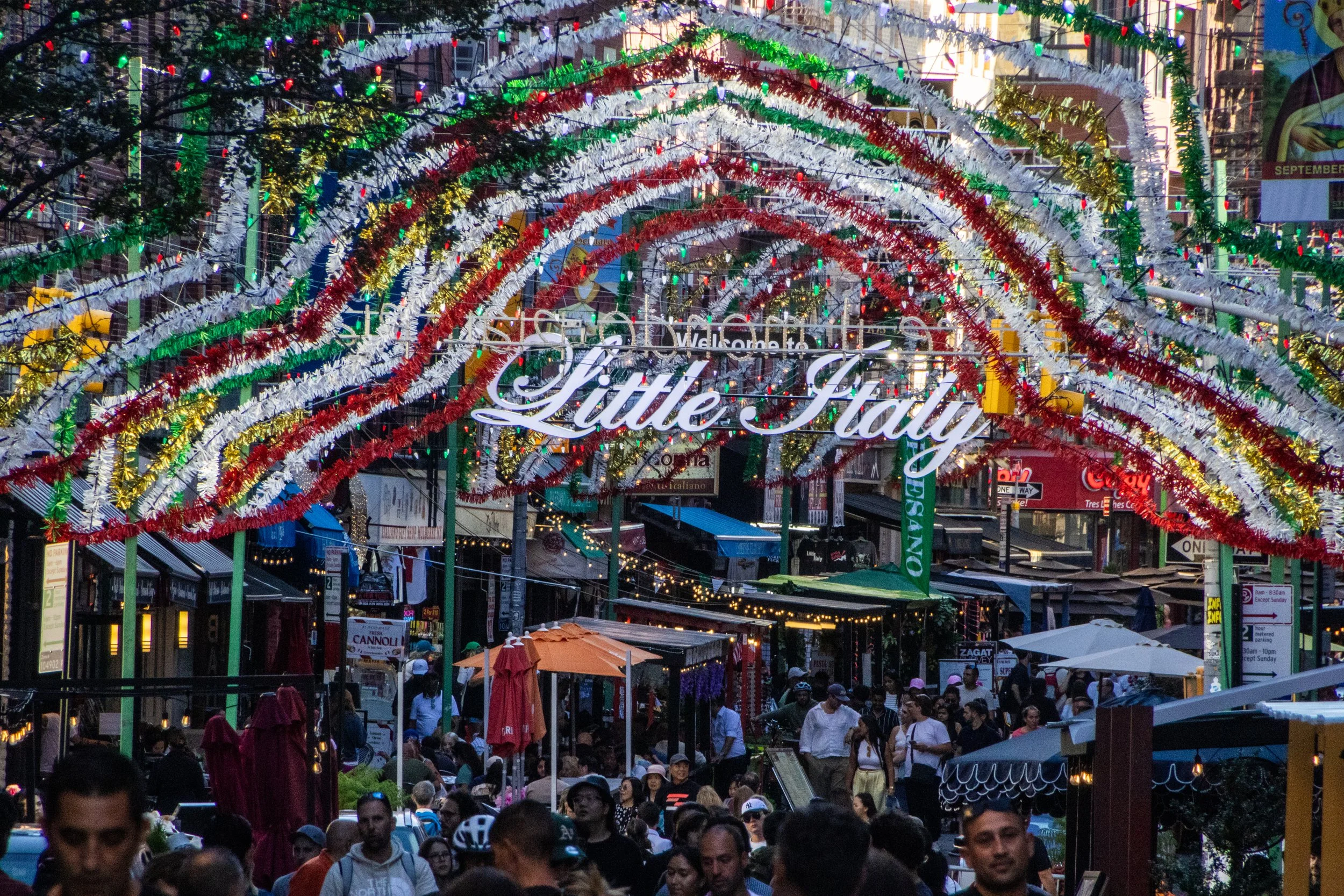
New York City not just one thing; the whole is formed of many thousands of individual threads woven and intertwined together. All of these parallel realities existing on top of each other is a big part of what makes New York so captivating… but some of these threads are more visible to the outside than others. One of New York’s most visible threads is its status as ground-zero for Italian-American culture. Yes, from Frank Sinatra to George Costanza, few immigrant communities in the US managed to balance the simultaneous integration with American society with the maintenance of a shared collective sense of identity like the Italians. Ironically, Italian-American culture has strayed hilariously far from actual Italian culture at this point; the two groups barely even claim each other at this point! But, within the U.S. at least, this shared homeland is a powerful unifier. Indeed, there are about 16 million Americans (~4.8% of the population) that have some level of Italian lineage, including yours truly. 🍕
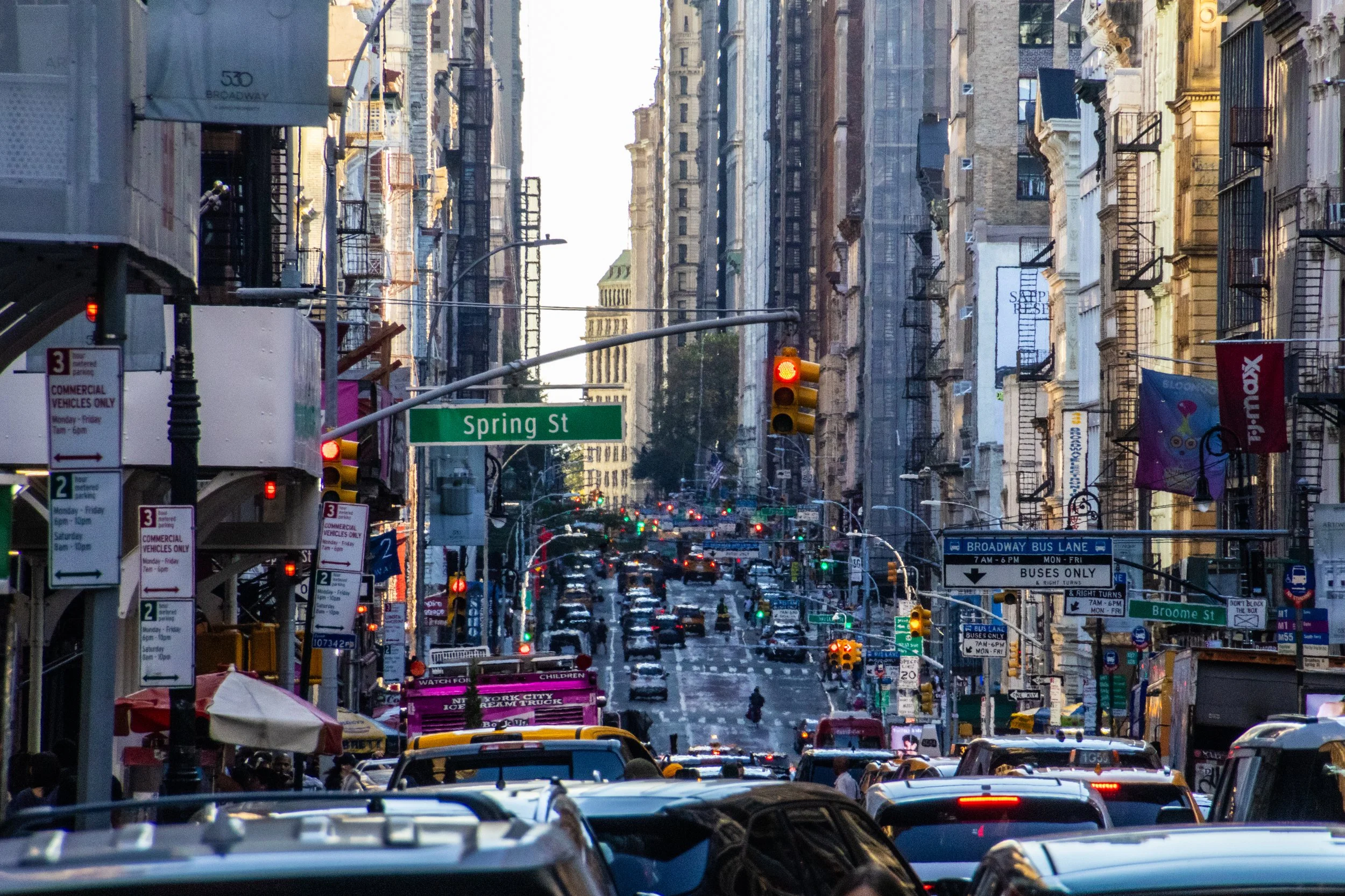
Although the beginnings of the U.S. as we know it today began with British roots, New York City actually began as a Dutch colony called New Amsterdam. It passed into British hands in 1664 and actually served as the capital city of the newly independent United States from 1785 to 1790. So it has been vitally important since the very beginning. As of 2023, the city alone (its metro area, that is) had a stand-alone GDP of $2.30 trillion, making it the most valuable city in the world. In fact, if treated as an independent country, New York City would rank within the top 10 largest economies in the world, ranking above Italy, Canada, and Australia, to name a few. For a domestic point of comparison, the next largest economy in the United States is Los Angeles with an approximate GDP of $1.1 trillion.
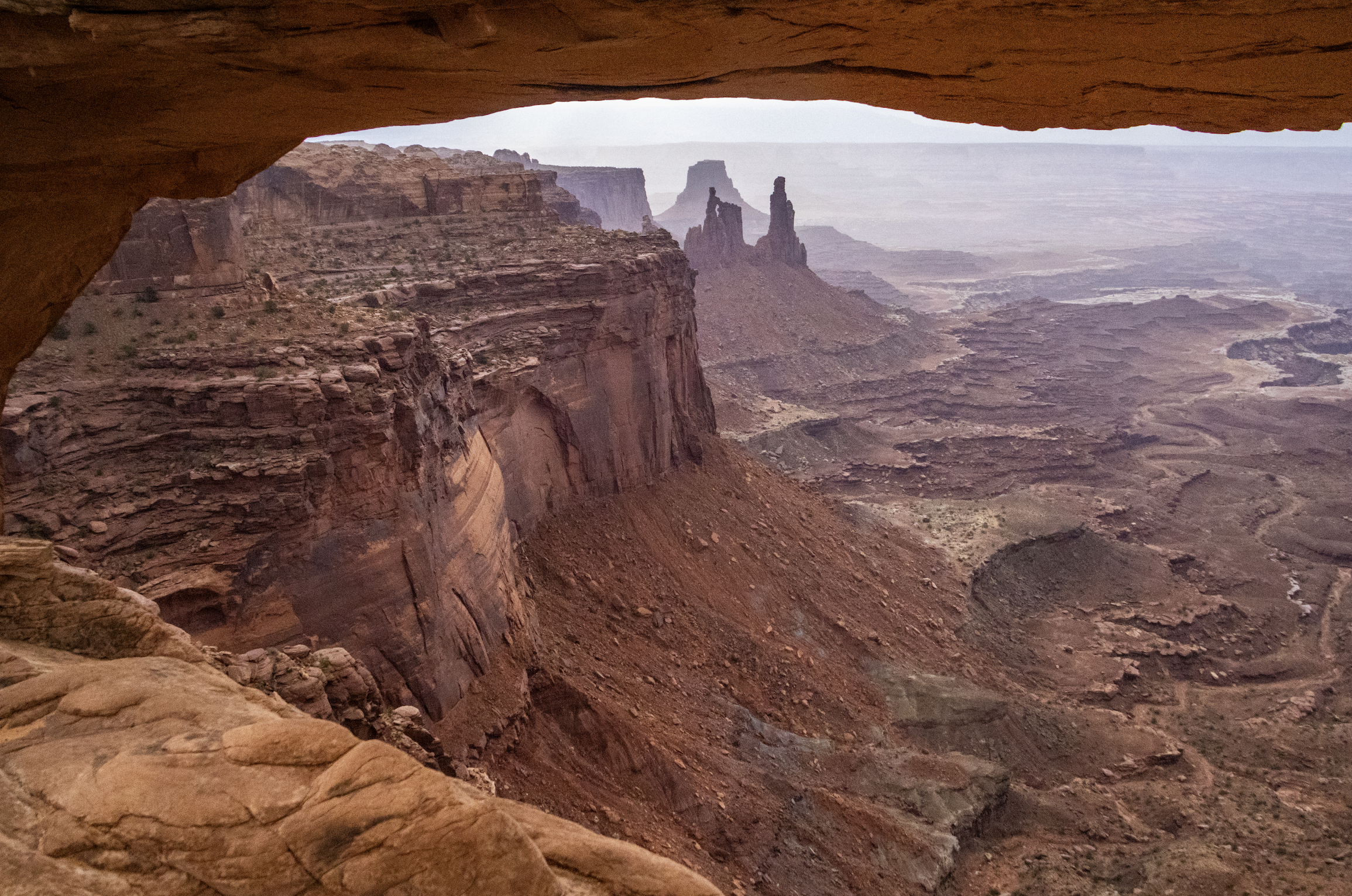
Finally, we arrive at Canyonlands National Park, which is the largest and most remote place we will visit on this trip by far. A couple hours southwest of Moab and Arches, Canyonlands spans an area of more than 300,000 acres. It is not a place that can be seen fully in a single day… but we’re going to do our best. Indeed, this particular trip will be most confined to the northern regions of the park, but I want to underscore that there is a LOT more of this landscape that we won’t see today.
As you will see, Canyonlands is a VAST area of canyons carved by mighty rivers that still flow through them to this day. Thousands of feet above the water, towering mesas look out across seemingly endless canyon-scapes. It offers more than a few STUNNING views.
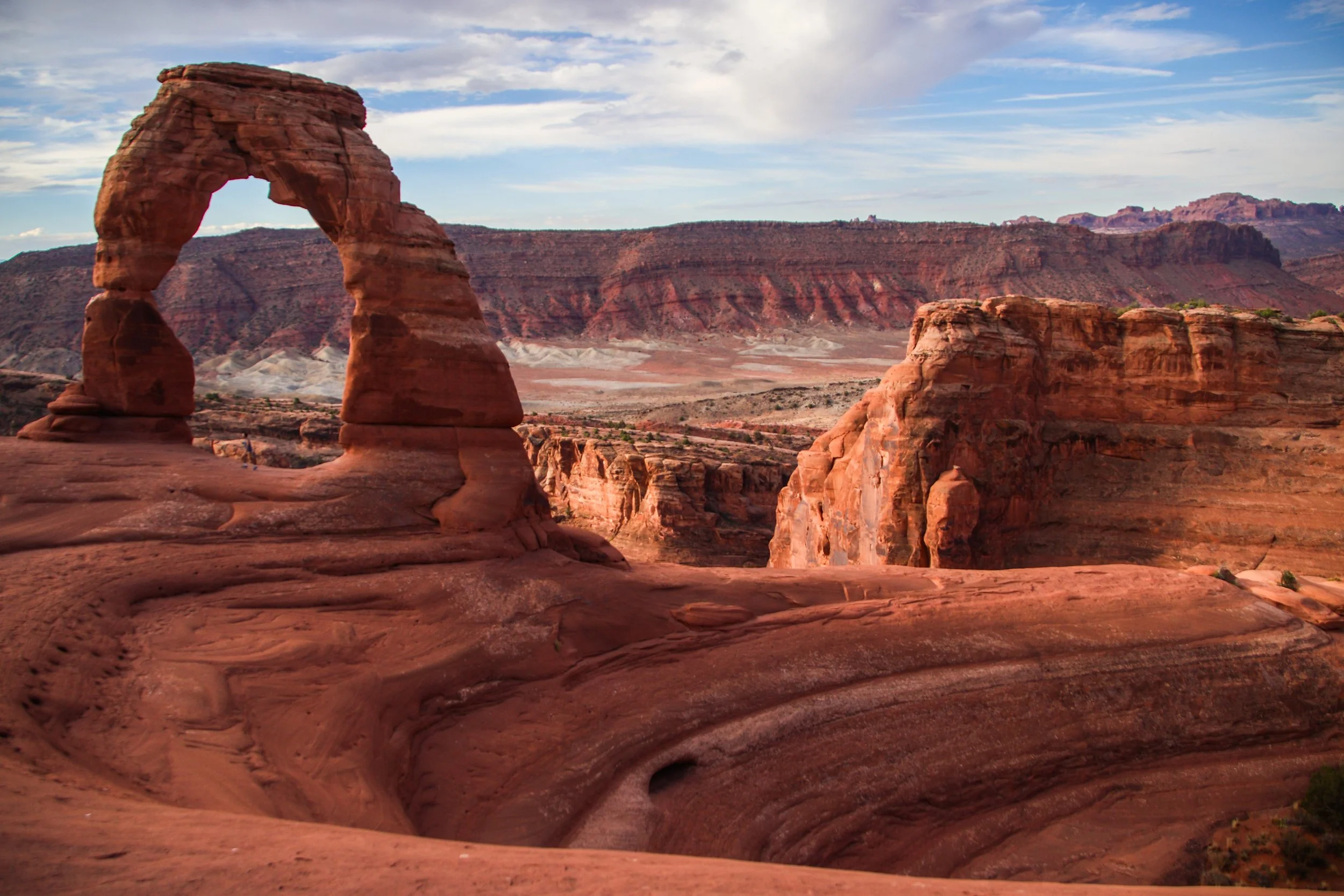
There are lots of famous rock formations in Arches National Park, but the most famous of them all is called “Delicate Arch”. We wanted to get there early in the day and experience sunrise within the park, which meant that we have to get moving at the butt-crack of dawn. In the gentle early morning light, our rental car carried us out of Moab and up a steep switch-back road into the park. Mind you that Moab is already ~4,025 ft (1,227 m) above sea-level. Arches actually gets as high as ~5,653 ft (~1,723 m) above sea-level, and—despite being only ~5 miles (8 km) away from downtown Moab—is usually 5–10°F (~3-6° C) colder. That being said, both Moab and Arches get HOT in the summer. The record high in Moab was 114°F (~46°C), and summer highs frequently exceed in 100°F (38°C) within Arches. So, heat is a hazard here! Consequently, sunrise/sunset exploration tends to be preferred, with many visitors retreating to Moab for a nice air-conditioned siesta in the middle of the day.
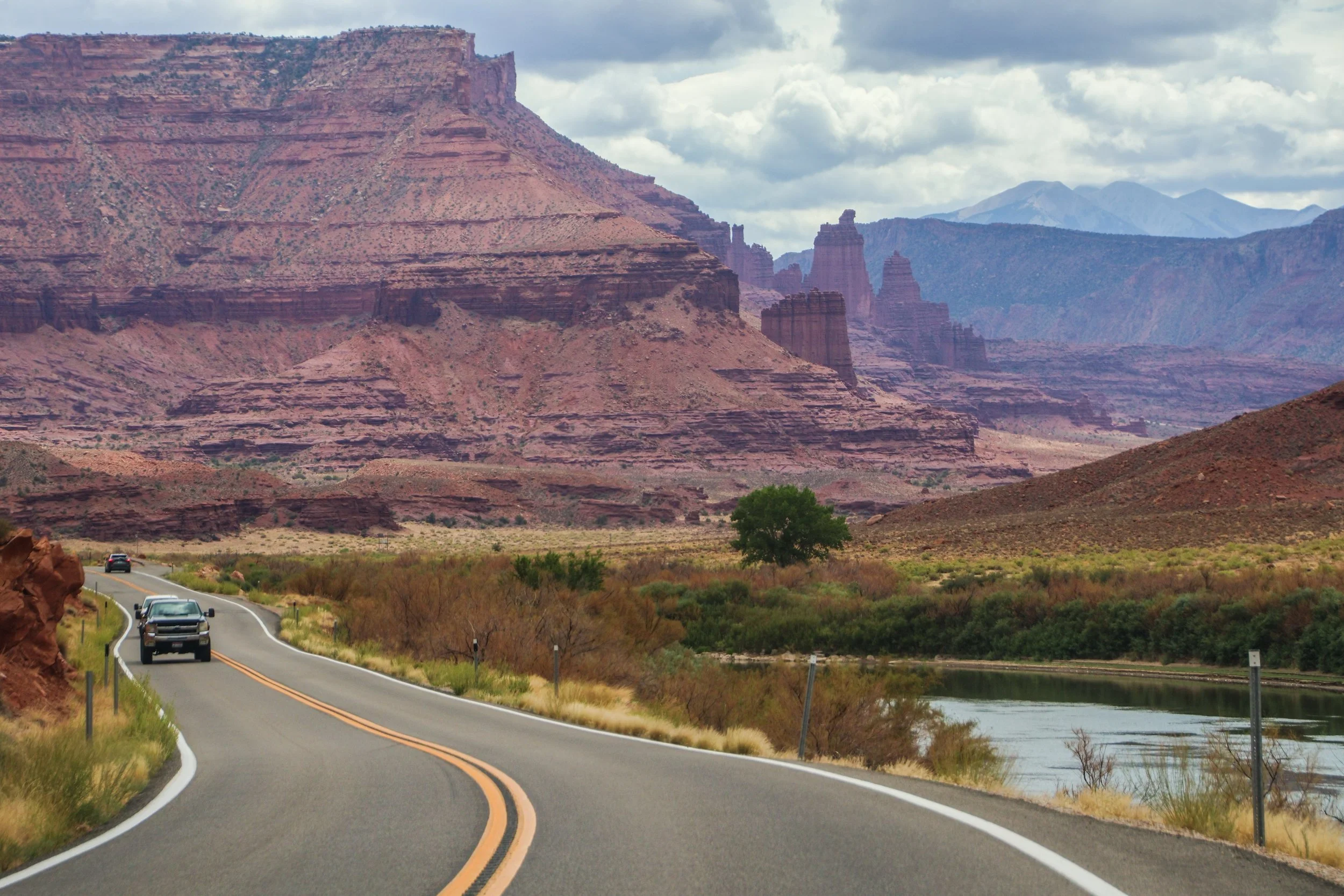
The road you are about to see was an important regional access point long before Moab was ✨M0aB✨—it was (and still is) important for ranching and river access. AND, it was apparently an important area for Uranium mining in the mid-1900s. But the human element of this road is really besides the point; unlike the rigid grid systems you will find in a lot of US infrastructure, this road works with nature, snaking through this canyon, following the river wherever it goes. In this sort of geography, you’d really have no choice but to build this road this way. That’s one of the magical things about traveling out west: the natural features become far too big for humans to tame.
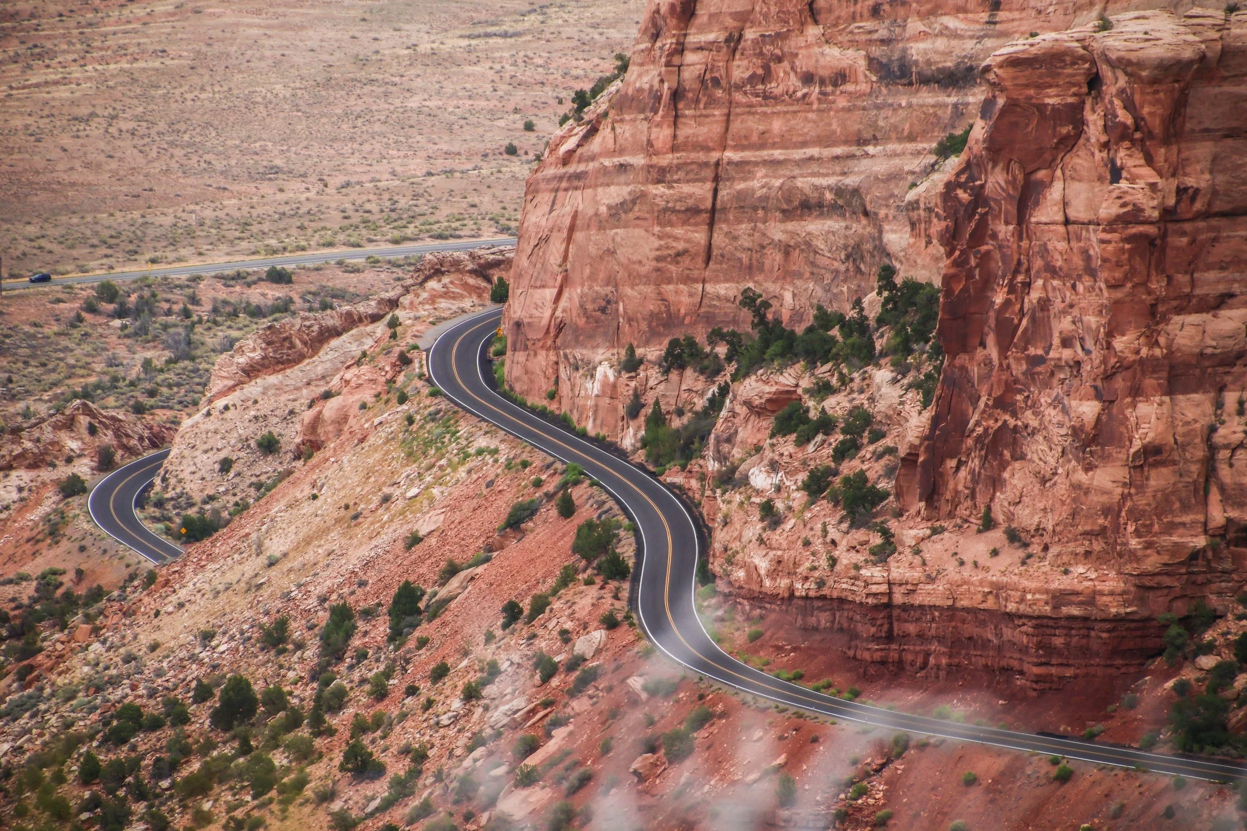
Colorado National Monument isn’t a single landmark, but a large area of landscape, which includes massive rock formations, deep canyons, and rugged plateaus, all of which were carved over millions of years by wind and water. The primary thing to do here is the Rim Rock Drive, which is a 23-mile-long paved road that brings you past a great many breathtaking views over dramatic sheer cliffs and expansive valleys. There are lots of places to stop along the way, many of which have their own hiking trails and camp sites. Today, we’re going to drive the Rim Rock Road.
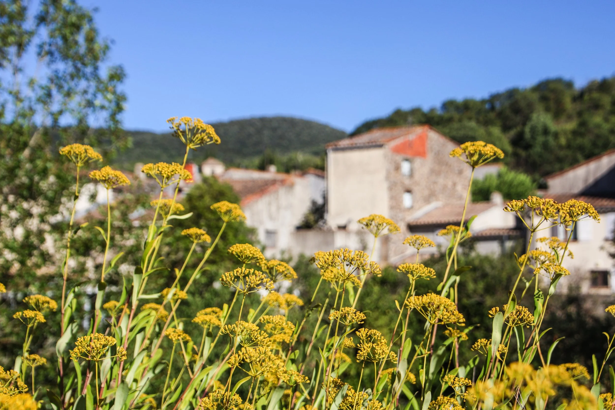
Today, we’re in the ✨S0uTh 0f FrAnC3✨, which is a destination that carries with it some implied glitz and glam. Indeed, when you picture the “South of France”, chances are that you think of places like Nice, Cannes, or Saint-Tropez. Most of these post-card “French Riviera” destinations are over near the Italian border, in an administrative region called Provence-Alpes-Côte d'Azur. But that ain’t where we’re going today. Instead, we’re going to the even-further-south region of Occitania, which was actually only formed in 2016 when France merged the administrative regions of Languedoc-Roussillon and Midi-Pyrénées. But don’t let its administrative “newness” fool you: Occitania has a story that dates back farther than France itself.
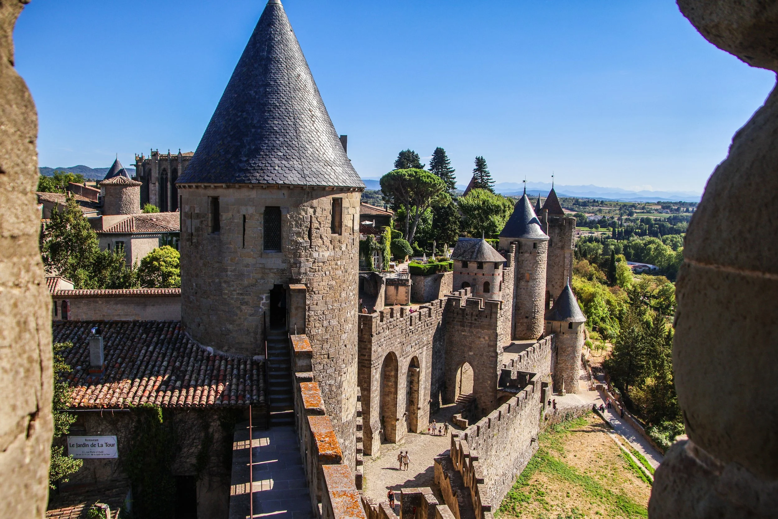
And we’re back in France! But rather than continuing our exploration of 21st century France, we’re going to rewind today and visit Medieval France. I’ve never been a fan of Renaissance Faires (actually, I low-key hate them), but this is an undeniably fascinating time in history to learn about. And actually seeing the castles in real life really takes this to the next level! Today we’re visiting two Medieval castles in the South of France: Carcassone and Villerouge-Termenès. Vamos!
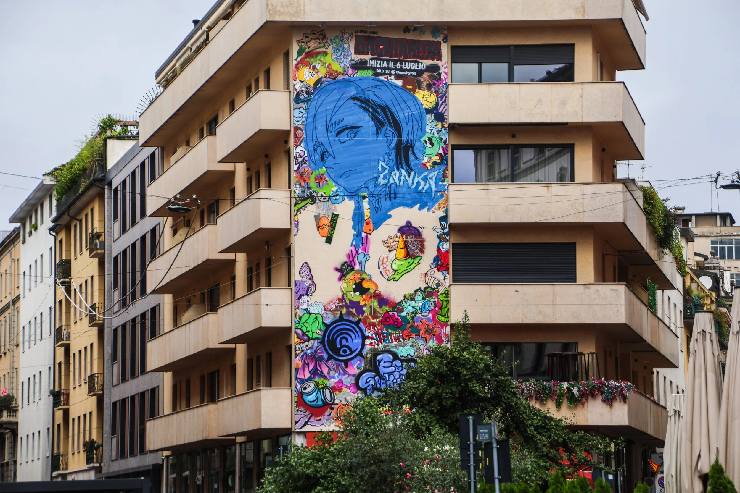
And we’re closing our time in Milano with a street art feature! On this trip I did not find nearly the quantity that I have in some of the other articles on street art, but the quality of what I did find was high enough that I decided these murals deserved their own space. That being said, the mural map of Milan that I found on streetartcities.com suggests I may have missed some really good ones along the way, but that’s okay. I’ll be back!

During my first visit to Milan, I had the great privilege of locals taking me under their wing, which is always a game-changer when exploring a new place. Dropping into communities that already exist and riding the coattails of their intuitive understanding of their home really gives you a feel for what life in a place is really like—but it also relieves you of having to think about where exactly you are in the city at any given moment. As a result, you’ll walk away with a strong emotional bond to a city, but not much concrete information about it. That was my challenge in returning to Milan. So I did the legwork of sifting through exactly where I was during my first visit to Milan, and came up withe two neighborhoods that made the biggest impression on me. They were Brera and Navigli. Let’s jump in.

Milan (or, in Italian, Milano) is not a city that is known for its beauty—at least not within Italy. But I never thought this was fair. Yes, Milan prioritizes function over form, and is more of an industrial hub than any other city in Italy… but the rest of Italy sets an extremely high bar for what it means to be a ~beautiful city. In most other countries, this would be considered an absolutely gorgeous city, but when you’re competing with Rome, Florence, and Venice… yeah, it’s going to be a losing battle. But comparison is the thief of joy, and Milan is still quite beautiful in its own rite! More to the point; it will give you a better window into what everyday life looks like for Italians much better than Venice or Florence ever could. This is real life, and—to me—real life in Milan looks pretty damn good.
Duomo di Milano is arguably the center piece of Milan, and the plaza bearing its name—Piazza del Duomo—sits at the center of “Central Milan”. We’ll branch out to other parts of the city in forthcoming articles, but today, we’re only going to focus on the comings and goings of this little area.

As we all know, the streets of Paris are famously beautiful. But what you might not know is that just a few meters below these charming bistros and boulevards lays hidden a labyrinth of dark tunnels containing somewhere in the vicinity of 6 to 7 MILLION skeletons. These are the catacombs of Paris, and today—in the spirit of Halloween—we’re going down there. 🎃

Istanbul’s mild climate, abundant food waste, and endless dense, low-rise neighborhoods with leafy courtyards, shops, and waterfronts makes a perfect habitat for cats. The more I think about this, this would be the IDEAL setting for a Pixar movie about cats. Can we make that happen please? The writers wouldn’t even need to start from scratch, because cats here are already being actively personified, with some real instances of cats becoming famous throughout the city and beyond!

The first time I came to Istanbul—which was 10 years ago now!—I spent most of my time in Kadiköy. In the crisp autumn air, fresh off months spent backpacking through the sweat and humidity of South Asia, I was absolutely charmed by this place! It caught me completely by surprise; I didn’t want to leave! The streets were bustling with cool-looking young people, there was an amazing coffee shop on every corner, and the steep, narrow streets provided a treasure-trove of urban ocean views, similar to those of San Francisco or Stockholm.
This time around, I visited during the summer months, and Kadiköy felt different. I think both of us had changed a bit over the past decade; I’d be lying if I told you it felt familiar. Nevertheless, I retained some conceptual familiarity with this place. Far from the touristy bustle of Galata, Karaköy, and Taksim over on the “European Side,” decidedly more humble than the Westernized glamor of Bebek and Nisantası, and much softer than its hardline conservative neighbor, Üsküdar, Kadiköy managed to feel at once both comfortable and local. It’s likely still too Western to truly be considered representative of Türkiye or even Istanbul as whole… but this is where a more local and authentic version of Istanbul feels accessible to me.
So let’s breakdown both Kadiköy and Moda; they aren’t exactly the same place.
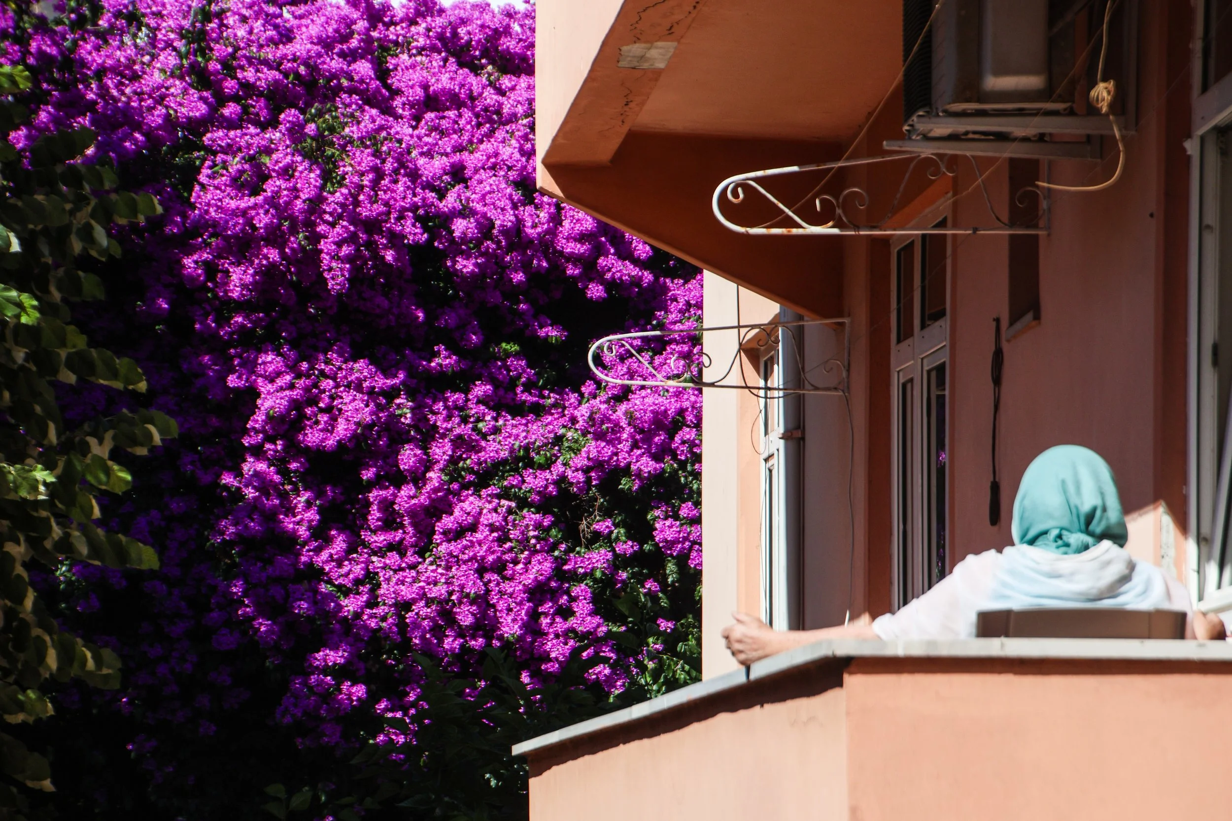
In positioning Üsküdar right after Bebek in this series, I’m hoping to give you a bit of whiplash. If you’re not reading these in chronological order, I’ll fill you in: Bebek is an affluent, socially progressive community on the northern (European) banks of the Bosphorus. There’s a gorgeous promenade where you can walk along the banks of the Bosphorus amongst fashionable people who seem—at first glance—to be quite Western! But make no mistake: Türkiye is not the West. Places like Istanbul can be confusing, because they often present as very European, but if you dive just a bit below the surface, you’ll discover a world that is quite unfamiliar to Westerners. This is a complicated place, because it contains both realities in parallel. We’re going to use Üsküdar as a vehicle to explore the more culturally conservative side of Istanbul.

Today we’ll explore few key areas from what is locally known simply as “The European Side”. Istanbul straddles a natural strait called the Bosphorus, which is the official boundary between Europe and Asia. The “European Side” of Istanbul—which is divided into two parts by an offshoot waterway of the Bosphorus called the “Golden Horn”—is decidedly more touristy than its Asian neighbor. The two pieces of the European Side that sit on either side of the Golden Horn are the Historic Peninsula (also call the “Fatih” or Old City) to the south, and Galata–Beyoglu to the north.

It’s a bit hard for me to disentangle Oxford the school from Oxford the town. They are inextricably linked and have developed co-dependently throughout the centuries. The University of Oxford was actually founded in 1096. 🤯 This is so long ago that the exact date is actually unknown! To give you a bit of perspective, that makes Oxford older than the Aztec Empire, Genghis Khan’s founding of the Mongol Empire, Kublai Khan’s founding the Yuan dynasty in China, The Crusades (which saw the sacking of Constantinople), and the Magna Carta.

We’ll pick up where left off at the end of the previous article on Hondarribia: on the ferry across the Bay of Txingudi, crossing from the Spanish side of Basque Country, to the French side. Our destination today is a little town called Hendaye. Pretty much the ONLY thing I knew about Hendaye when I arrived here was that is was Basque. I had long been fascinated with Basque Country, but had only ever thought about it through a Spanish context. This, however, is an incomplete picture of the Basque culture, because it actually straddles this international border in the Bay of Biscay. Both sides deserve thorough exploration… and as far as the French side is concerned… this ain’t it. Admittedly, it’s not the deepest incursion into French Basque Country, but it will hopefully provide a feel for the area.

Hondarribia is a beautiful little town that sits on the Spanish side of the Bidasoa river, which form the border between France and Spain in the Bay of Biscay. The estuary that forms here, where the Bidasoa river meets the Atlantic is called the Bay of Txingudi. So, when you look across the water from Hondarribia, you are looking into France. At the end of this article, we’re going to cross the river (spoiler!), but before we do that, we’ll explore this last outpost of Spanish Basque Country.

The Basques (also known as Euskaldunak) are an ethnic group with their own culture and language whose historical home straddles the Pyrenees mountains, occupying northern Spain and southwestern France.
What makes the Basques so intriguing? Let’s start with language. I’m sure you’ve heard of some of the major language families, such as Romance Languages (e.g. Spanish, French, Italian, Portuguese), Germanic Languages (e.g. English, German, Dutch, Swedish), and Slavic Languages (e.g. Russian, Polish, Czech, Serbian). These are groups of related languages that all evolved from a common ancestral language. In fact, languages all over the world can mostly be grouped into “families”… but Basque (Euskara) doesn’t fit into any of them. It is a language isolate, meaning that is bears no relationship at all to any other surviving language. Its origins are utterly mysterious, and the culture it belongs to… oh boy.

By the time the urban footprint of London really began to expand in the 18th century, Hampstead Village had become kind of a trendy place to be for Londons affluent intelligentsia, since it was beautiful, clean, and within striking distance of London. Likewise, the giant natural area now known as Hampstead Heath—which served as a shared backyard for this community—became the focal point of conservation efforts in the face of London’s creeping urban sprawl. Luckily, Hampstead already boasted an impressive roster of rich and influential residents who had the muscle to bring this conservation to reality. The result? Both Hampstead Village & Heath have grown into the stuff of postcards; a beautiful and secluded getaway from the hustle and bustle of London.

You may have heard about Indian weddings before… TL;DR, if you get invited to one, try your very best to make it. They are extremely cool. But this wedding… I need to disclaim now that this is absolutely NOT representative of what most Indian weddings are like. This is going to be extravagant. My other Indian friends in attendance would caption the obvious, saying “most Indians will never go to a wedding like this in their whole life.” But I’m not going to spend much time talking about the economic dimension of this event. We’re just going to enjoy it for what it is.

With a population of ~4.3 million, Jaipur is the largest city in the magical west-Indian state of Rajasthan. It is also the capital of Rajasthan, and thusly is the center of political and economic power in Rajasthan. Jaipur was not built until 1727, which is relatively late in the grand scheme of India. Indeed, it was constructed from scratch to replace the previous Rajasthani capital, Amber, which—having been a center of power since the 11th century—was apparently getting crowded and having issues with water availability.
Jaipur was the first city in India to have been planned from scratch, and as such, it has some unique features. To me, the most striking of these features is that it adheres to a very strict grid system, like Chicago. In older cities that evolved over centuries or millennia, in India and elsewhere, you will find no such geometric uniformity.

And we’re back with Volume THREE from Toronto. This is only the 2nd city after London to get multiple volumes in this street art series so far. It’s a great honor 😂 and one that Toronto is extremely well deserving of. This is undoubtedly one of the best cities in the WORLD for street art, which is a designation that I am more and more qualified to bestow with each passing month.
In vol. 2 we were in Kensington Market and Ossington. Now, we’re going to move a but closer to “downtown” Toronto, and explore an area called the Fashion District.

It was a random walk down a few alleyways in Toronto in 2016 that began my obsession with street art. At that time, this website was already well-established… but this was the first time I had taken so many pictures of murals that I felt the need to give them their own article. You can read vol. 1 here. Fast-forward almost 10 years, and this has become perhaps my favorite series on this website.
Well, today is a special one. It’s time for a return to—NOT ONLY the city that started it all for this series on street art—but the EXACT PLACE in that city. Almost 10 years later, we’re back into Toronto for vol. 2, and we’re going to start in the same area where I originally fell in love with collecting murals: Kensington Market.
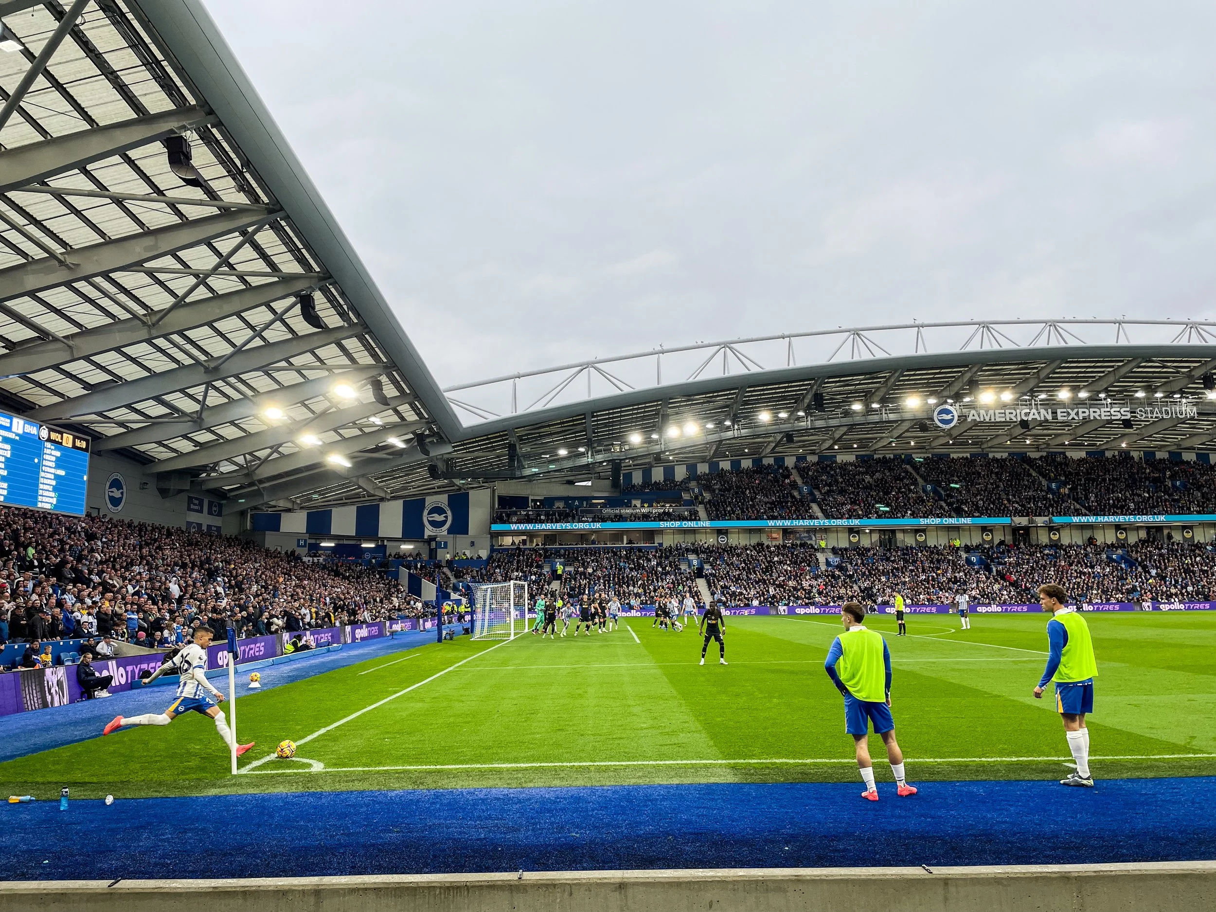
Little by little I am visiting other places in the UK besides London. Believe it or not, Brighton was only the 3rd non-London location that I’d visited… but we’re not even going to see much of the city on this trip (we’ll come back for that soon). Today, we’re going to continue coverage of the European football/soccer circuit with an English Premier League match in Brighton. The match is Brighton & Hove Albion (a.k.a “Brighton”) v. Wolverhampton Wanderers (a.k.a. “Wolves). Here’s exactly where this match took place: Brighton’s AmEx Stadium, also known by its non-sponsorship name, Falmer Stadium.

Bath is a small town of about 94,000 people in the county of Somerset. By train, it is about 2 hours west of London, and it’s closely neighbored by Bristol and the Welsh border to the northwest. By all accounts, this is one of the most beloved and beautiful little towns in the South of England. There are lots of other sub-regions of the British Isles that I’m sure have lots of other beautiful towns… but in terms of day trips out of London, Bath is definitely in the top 3.
There is more to know about Bath of course—including the super un-creative way it got its name—but I’ll cover those details in due course. For now, here’s the map. You can enter into this place as uninformed as I was when my train rolled up one morning in late October.

Aix, like nearly everything in this part of the world, has a recorded history that stretches back well before the birth of Christ. Whenever I write these articles, I’ll always take a quick dive into the proverbial pool of history to see if there’s anything notable I should highlight… and in the case if Aix, I mostly came up empty-handed. In fact, the most interesting thing I dug up during my research—aside from the recent unearthing of a Roman amphitheater in a nearby suburb—was an interesting Medieval legend about a Dragon that supposedly sat on a nearby hill atop a pile of bones, both human and animal. This legend is interesting, because—although the presence of a Dragon cannot be confirmed—the pile of bones was known to be very real! It’s been the subject of numerous scientific inquiries to identify all of the original owners. There’s a really interesting article about this called “The Dragon at the bus-stop” that feels like it sets the scene quite well for a children’s fantasy novel.
So, with that in mind, the history of Aix feels relatively uncomplicated in my head. For all the history buffs, the history is there! But, for the rest of us, I don’t think you’re doing this place a huge disservice by just enjoying it for what it is now: a magical little place in the South of France.

There is a an urban offshoot of the nearby Danube River that snakes its way through urban Vienna where street artists have had a field day. This offshoot is called Donaukanal and you can actually walk along its banks for almost its entire 17 km length. I didn’t walk the entire length because, when you start to exit its super urban stretches, the murals start to be replaced with greenery (which is arguably much nicer than endless concrete and paint), but the stretches that I did cover were an absolute treasure trove of street art.
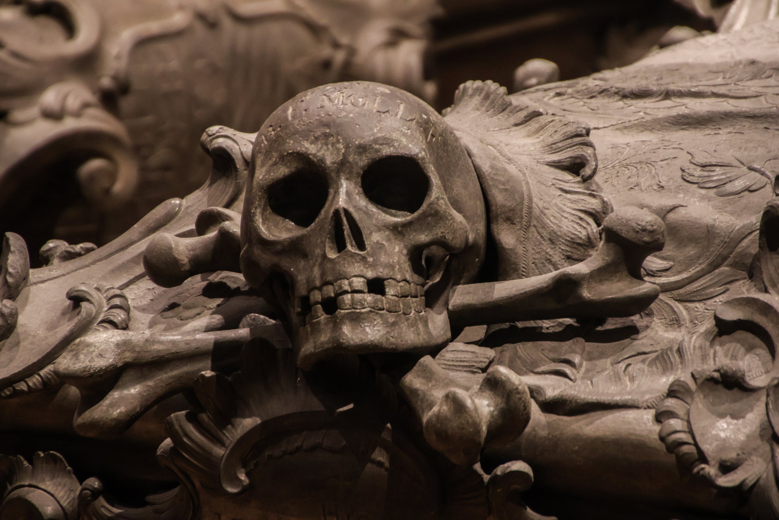
I’ve been forced to reference Vienna’s history books more than once now, but today is where we’re going to take a deep dive into those history books. And we’re going to do so with the aim of exploring one particular character in Vienna’s story: the House of Habsburg.
The House of Habsburg is one of the most important dynasties in European history. Their origins are bit murky, but their collective ascent to nobility as a family can be traced all the way back to the 900s. They were lords controlling patches of territory in central Europe who—over the course of generations—fought their way to the very top. Starting in 1440 when they were at the helm of the Holy Roman Empire, the Habsburgs were in control of major world powers until the early 1900s.

Growing up, before I really started to get obsessed with maps and traveling, I always had a vague awareness of Vienna—not because of its geopolitical significance, or because it was the capital of an important European country—but because of the arts. In this article, we’re going to jump head-first into the world of classical art and culture that has become a calling-card for Vienna. I definitely did not have time to do everything that this city has to offer, but I was able to make the most of the time I did have thanks to my man on the inside.
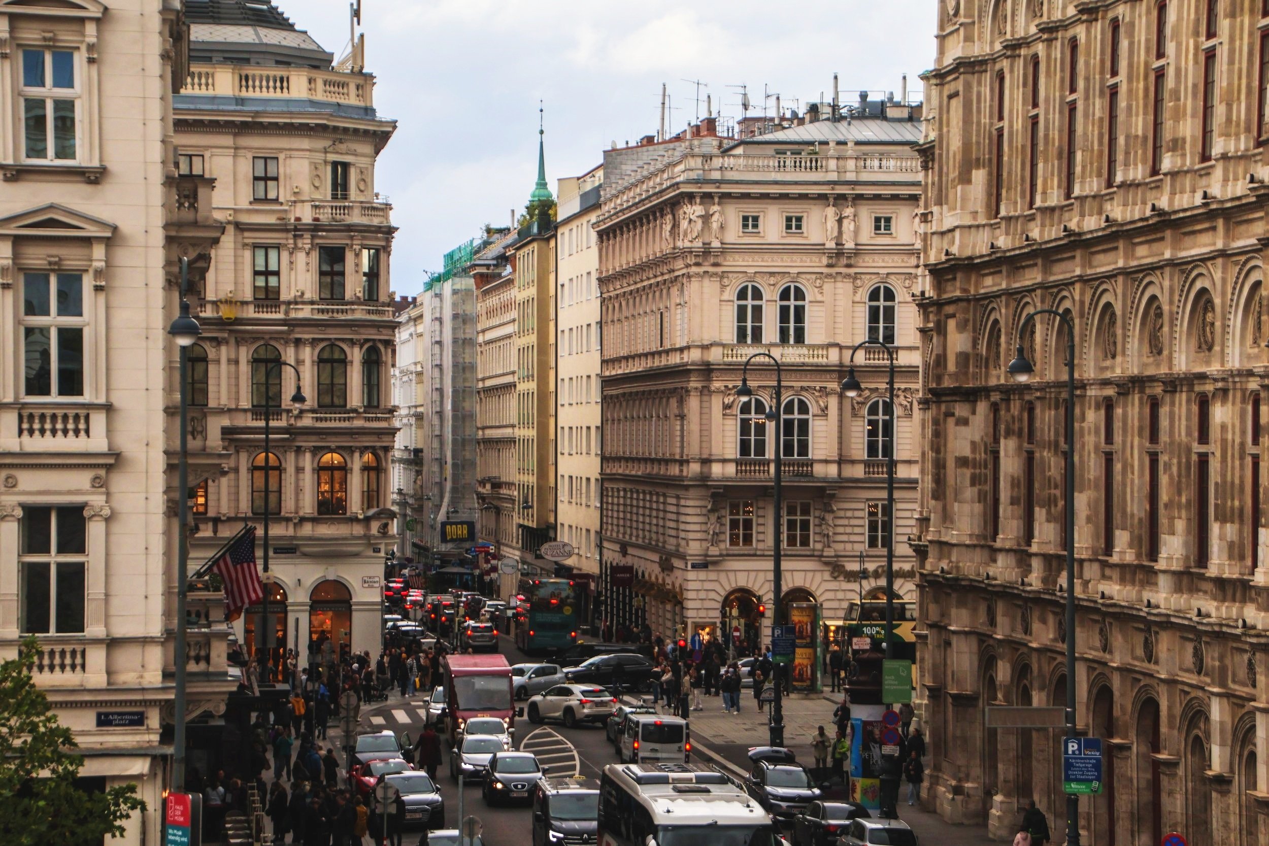
Vienna. It has got a reputation for being one of the most beautiful and most “livable” cities not just in Europe, but in the whole world. And that reputation is very well-deserved! But to me, the geopolitical angle is much more interesting that the generic wiki-tourism preamble. So, why am I saying that Vienna is the “Spy Capital of the World”? Well, I can’t take credit for this designation; it’s a “thing.” If you look it up on YouTube, you’ll find all sorts of interesting explainer videos on this (here’s a good one from Versed). I actually think this is a really good segue into explaining Vienna as it stands today, so here’s the quick version…

Similar to my sentiments about the street art I found in Naples, I think the street art of Paris feels quite unique in the context of the murals I’ve seen overall. Indeed, these pieces of art like there were directly inspired by and connected to the city around them—which is not always the case! In North America—where there are some incredible works of art tucked away down alleyways in cities like Toronto or San Francisco—the artistry can weirdly begin to blend together after a few cities. Perhaps this is a symptom of the cultural homogeneity of the continent at large, or maybe I’m just looking for meaning in a place where this none to be found… but the murals I saw in Paris definitely felt like they belonged here.

Tonight is not a regular season match! No; this is UEFA Champions League (UCL). If you are not familiar, UCL is where to top placing teams from the domestic leagues all around Europe play against each other. So, for example, Arsenal plays in the English Premiere League, while Juventus plays in Italian Serie A. These are two famous clubs that would never play against each other during regular season play. The only place where you see international cross-over is UCL, and that is why it’s one of the coolest things in sports! Only the best teams from each domestic league will qualify, and the exact number of teams that make it into UCL from each domestic league depends on how good that league is. So, for example, in Ligue 1 (France) the top 3 teams qualify for the next season of UCL, where as La Liga (Spain) it’s the top 4 teams. This is because La Liga is more competitive than Ligue 1. How “competitiveness” is measured is subject to some controversy… but that’s the gist of it.
So this is a Champions League match, and PSG are up against the Spanish side Girona, who came out of nowhere to finish 3rd in their 2023/2024 campaign, behind only Barça and Real Madrid. Let’s do this!

During the 2024 Summer Olympics, it just so happened that I was living in Paris. Cool, right? Well, not if you asked any Parisian at the time. I love them, but they can be quite a negative bunch, and this proved especially true when it came to the Olympics. In anticipation of the games, they fled the city like an enemy force was about to invade. As a newly minted resident of Paris, I too took on this negative attitude, seemingly by osmosis. Maybe I just wanted to be included. 😂
THANK GOD I snapped out of that funk and bought some tickets! I attended 3 events at the 2024 Olympics, and it was one of the coolest experiences I’ve ever had.

Located on the right (north) bank of the Seine in the center of the Paris, the Louvre is, perhaps, the most famous museum on planet earth. But it didn’t always serve this function. Originally, when it was originally constructed all the way back in 1100s, it was actually a fortress. I mean a true Medieval castle, like you see in the movies, complete with turrets and a big moat around it. Eventually, as the urban footprint of Paris began to expand, this castle transition from a military installation to a palace for the French royals. I am really resisting the urge to jump down a history worm-hole here, so but to summarize centuries of history into a a few lines… the physical structure that was this castle was altered many times for many reasons through history. In the late 1600s, when King Louis XIV relocated to the Palace of Versailles, the Louvre was repurposed to house his extensive art collection… and things have evolved from there. It was first opened to the public in 1793 with a mere 537 paintings, and that number has now grown to include a breath-taking 500,000 objects, which collectively attract almost 9 million visitors per year, making it the most visited museum in the world.

Now that we’ve done a bit of ground-work on Paris in the previous article, let’s get out there and start tickin’ some tourist destinations off the ol’ list, eh?
In this article we’re going to cover The Eiffel Tower, Cathédrale Notre-Dame (outside), Madeline, Place Vendôme, Tuileries Gardens, Jardin Du Palais Royale, Sainte-Chapelle, Galeries Lafayette, Basilique du Sacré-Cœur de Montmartre, and The Louvre Museum (teaser)

Paris needs no introduction, but here’s one anyway.
Paris is the capital of France and—in terms of metro area—the largest city in the European Union by a HUGE margin. According to the OECD, the population is 11.2 million. For context, the next largest metro area population in the EU is Madrid, at 6.9 million. London (now ex-EU) and Istanbul (definitely not EU) clock-in at 13.4m and 14.6m respectively, according to the same OECD data set. So Paris is more than just a historic, beautiful place (although it is those things as well)—it actually fits the definition for a “mega-city”, in the same league as Mumbai, Mexico City or Los Angeles.
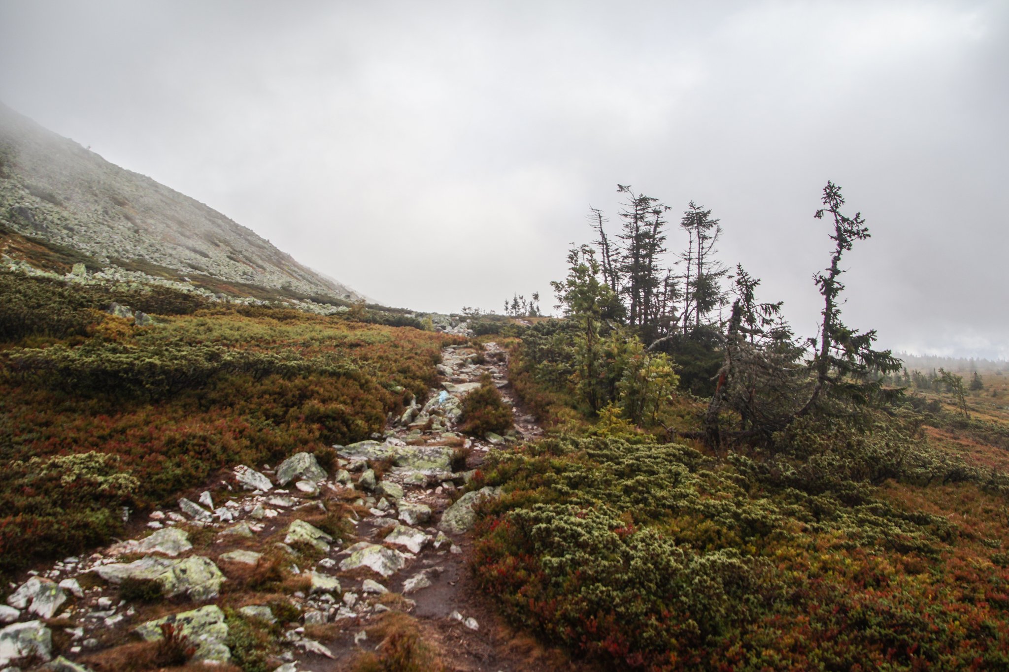
I was excited to see some of Norway’s legendary mountains! Unfortunately, Freyr (the Norse god of good weather) was otherwise occupied during my visit. During our entire stay in Trysil, the landscape was covered in a thick fog and a cold, driving rain. It was perfect weather to cuddle up with a good book in a mountain cabin… but we had other plans.
Bright and early, we set out into the cold, foggy wetness to complete our hike. There were about 5 minutes where the sun managed to poke through the cloud cover, so I’ll show you those photos first. We were not in a particularly scenic part of the trail during that fleeting moment, but even then it was clear that—had we been able to see the landscape around us—it would have been incredible. The sun reveals a stunningly bright color palette on the grass around us.

As you know, today we’re in NORWAY, which is a new country for this blog! Unlike its Scandinavian peers, Norway is actually not part of the European Union, although it is a member of the Schengen area. Oslo is far and away the largest city in Norway, with a metro area population of 1.5 million people, although Oslo proper has less than half that number. For context, the next largest city in Norway by metro area is Bergen with about 460k people. And Norway overall has a population of 5.52 million people. That’s less than half the population of London, and is more than 7x smaller than the population of the Tokyo metro area. Not a big place, even by Nordic standards. But it’s definitely a beautiful place.
Here are a few fun-facts about Oslo…

While it might seem like just some quirky hippie commune, Freetown Christiania is actually a self-proclaimed micro-nation within Denmark that operates by its own set of rules. It’s got its own flag (shown here), and the approximately 1,000 people who live within its borders apparently do not think of themselves as being Danish, but rather, as “Christianites.”
But let’s go back to the beginning of this improbable story. I think context is key here in order for this to make any sense.

Copenhagen is an interesting example of how the center of gravity for contemporary, social life is often not in the historic city center. I think this is true in varying degrees in many cities across Europe, but what I understand from speaking with my Danish friends over here, is that this phenomenon is particularly decisive in Copenhagen. If you move to Copenhagen, most people will tell you that the best place to live is not Indre By, but other neighborhoods that are a bit further afield, a bit less dense, a bit less historic, and a lot less photogenic.
Today we’re going to focus on two such neighborhoods, which have a reputation for the being the “cool / trendy” areas in Copenhagen: Frederiksberg and Nørrebro.
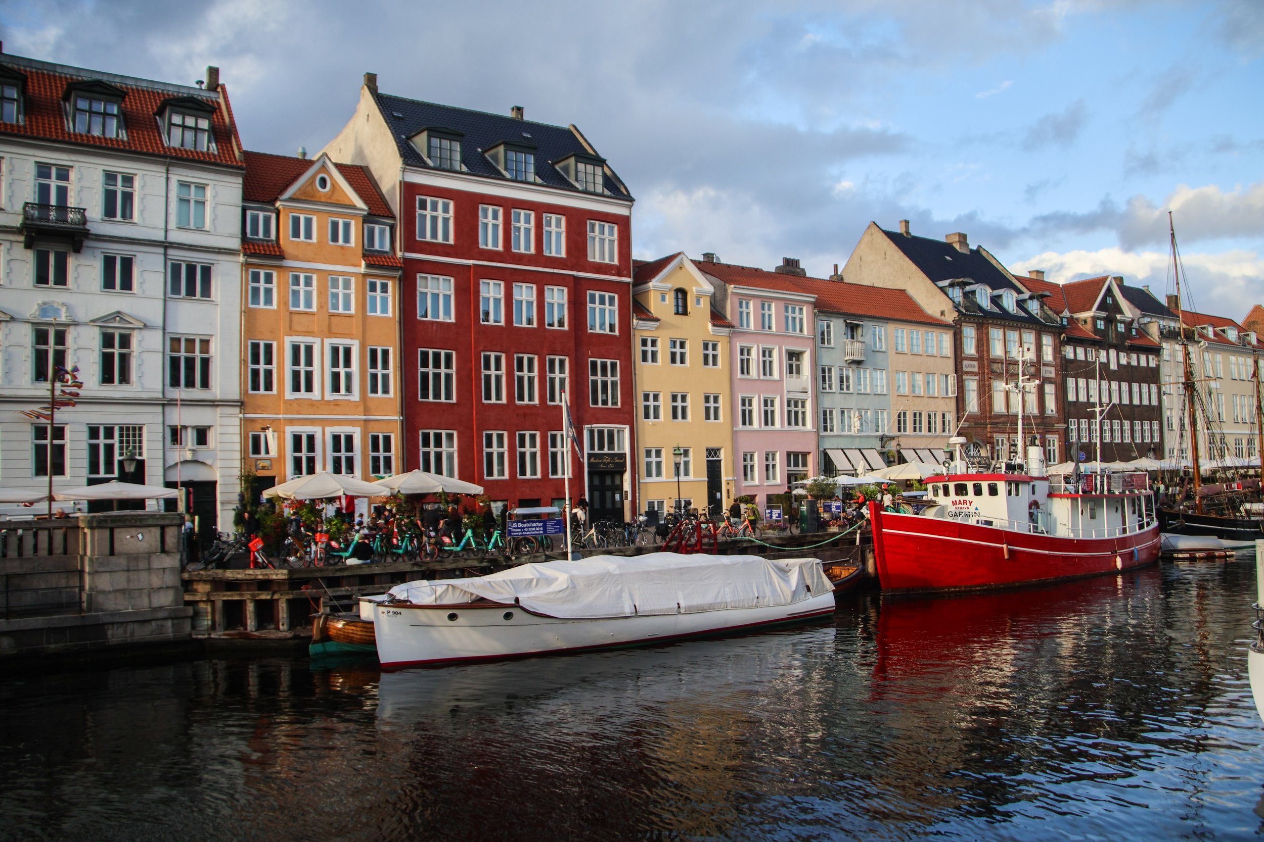
Copenhagen (or, in Danish, København) is the capital city of Denmark. It is also the most populous city, with a metro area population of 2.1 million people, which is almost double the population of its next largest city, Aarhus. If you’ve never taken a moment to observe the geography of Copenhagen, you can do so on the map below; it’s actually pretty interesting. It sits on an island in the North Sea called Zealand—which is home to a whopping 40% of Denmark’s population!—right between Sweden and the peninsula that forms mainland Denmark. This stretch of water is known at the Danish straits, and it separates the North Sea from the Baltic Sea. Thusly, it is quite a consequential water way for trade with Poland, Finland, the Baltics, and Russia.

Camden Town is a vibrant little area in north London that is famous for—among other things—its rich history with London’s musical lore. This area has long been associated with London’s punk scene, and indeed you’ll still see some people walking around this area sporting 2-foot high mohawks and all kinds of punk stylings that strike one as being almost performatively contrarian. Camden had deep ties to the early punk movement in Britain, with bands like The Clash, The Sex Pistols, and The Ramones famously frequenting this area. Apparently the photo on the cover of The Clash’s debut album (the real ones will know) was shot here in Camden. Later on, bands like Joy Division and The Cure would play here frequently, but Camden’s most recent contribution musical lore was none other than Amy Winehouse. She actually lived here, and as such, this neighborhood’s already-crowded mural scene is now infused with her likeness.

Maasai Mara—which is often locally referred to as simply, “The Mara”—is the name of a giant nature preserve in southwest Kenya. Its namesake, the Mara River, runs through it, and the word “Maasai” refers to the original tribal inhabitants of this area, who can still be found here today.
Well, as far as I know, the only difference between Maasai Mara and the Serengeti is the border between Kenya and Tanzania. The Mara is the Kenyan side, while the Serengeti is the Tanzanian side. Looking at the map, it might be tempting to think that Maasai Mara is the lesser of the two experiences because it’s so much smaller than the Serengeti, but—while I have not personally experienced both—I’m told this is not the case.

We only saw a couple of Lions at Lake Nakuru, but in Maasai Mara, we’re going to see a LOT of them. Here we saw a male and female lion relaxing in the shade of a big tree. We sat here for quite a while just admiring them. These really are massive cats. But if you watch they way they behave, they really are just cats—the same as the cute little ones we have living in our houses.
The safari continued. The further we drove, the more incredible it became. There were just so many animals out here. I think I saw more animals here than I had in the past decade of my life in aggregate. These environments are truly just bursting with life! Is this what planet earth was like before humans ruined everything?
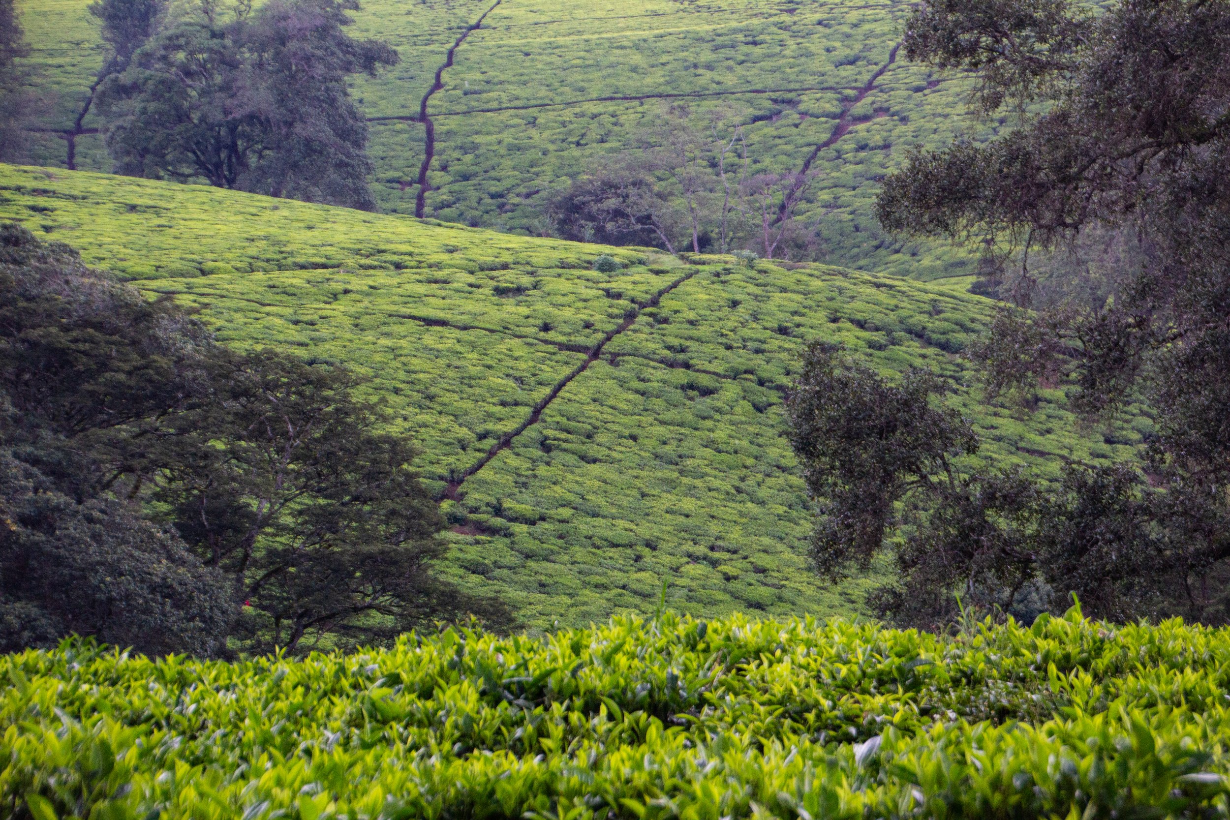
There was some rain that came through in the middle of our visit, so I got to see the light chance a good deal throughout this photo shoot. I look at these photos and I can almost hear the gentle sound of rain on the tea fields.
It was the British who introduced tea to Kenya in 1903. And, apparently the place where it was introduced was right here in Limuru! Today the majority of tea in Kenya is grown in the Kenyan Highlands, mostly on the upper slopes of the Great Rift Valley. As I understand it, a good proportion of it is concentrated on the slopes of Mt. Kenya. So, Limuru is definitely the easiest area of tea fields to access from Nairobi.

Clocking in at the projected 12th largest city in the world by 2100 (a title that is today held by Lagos, Nigeria), Nairobi is the capital city of Kenya, and by far its largest population center. The most common languages spoken here are Swahili, and then English (Kenya is a former British colony). This pretty much covers “mainstream” Kenya, but like most nations on this vast continent, there are a LOT more languages being spoken here in addition to these main 2. In fact, there are a total of 68 languages spoken in Kenya!
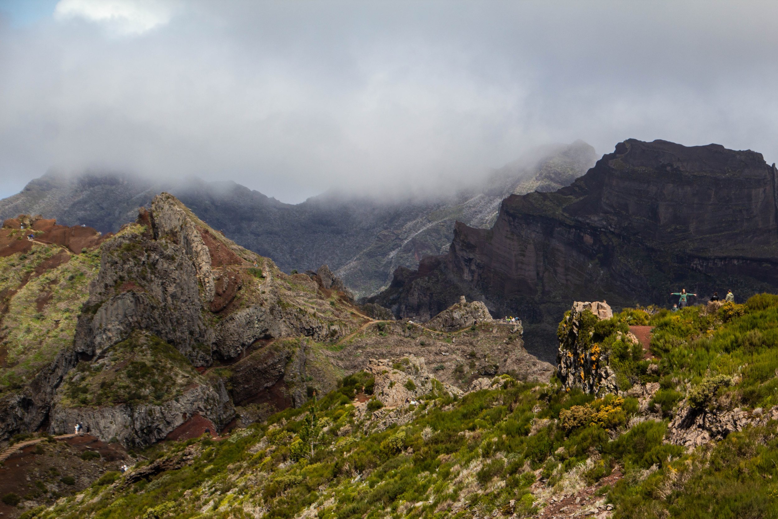
The #1 rated hike in Madeira on AllTrails is the one that from Pico do Areeiro to Pico Ruivo. These are the two highest peaks on Madeira. And in the middle you pass over Madeira’s 3rd highest peak: Pico das Torres. AllTrails ranks this hike as “Hard” and I think most people who do it would agree. But there’s some serious hype around this trek!
“It’s gonna be the coolest hike of your life” my friend said to me confidently after we landed in Madeira.
“…Like, my life specifically?” **Subtext: “You don’t think I’ve done any other cool hikes?” 🥺
“No, dude, like the coolest hike of anyone’s life.”

When you fly into Madeira—assuming you are coming from Europe, which is undoubtedly the most common flight path—you will fly over this jagged, sun-soaked rocky outcropping. Even from the window of the plane, it seems really long. It makes an impression on you immediately that Madeira is going to be a rocky, mountainous place. Which is true. I had sort of forgotten about this little land formation until I looked at the map on the morning of this hike (I wasn’t responsible for planning this portion of the trip 😂)—it turned out, we would be hiking out to the very end of it!
At the time of our visit, Farol da Ponta de São Lourenço was the 2nd most popular hike in Maderia on AllTrails, which I just found out has this cool map embed feature. So here’s the info from AllTrails: it’s categorized as an “intermediate” hike, and you can probably knock it out in a few hours. There are definitely som very steep stretches of trail, but there are also flatter portions where you can catch your breath. And there is also a little oasis in the middle of it in the form of a cafe! I have no idea how these restock that place.
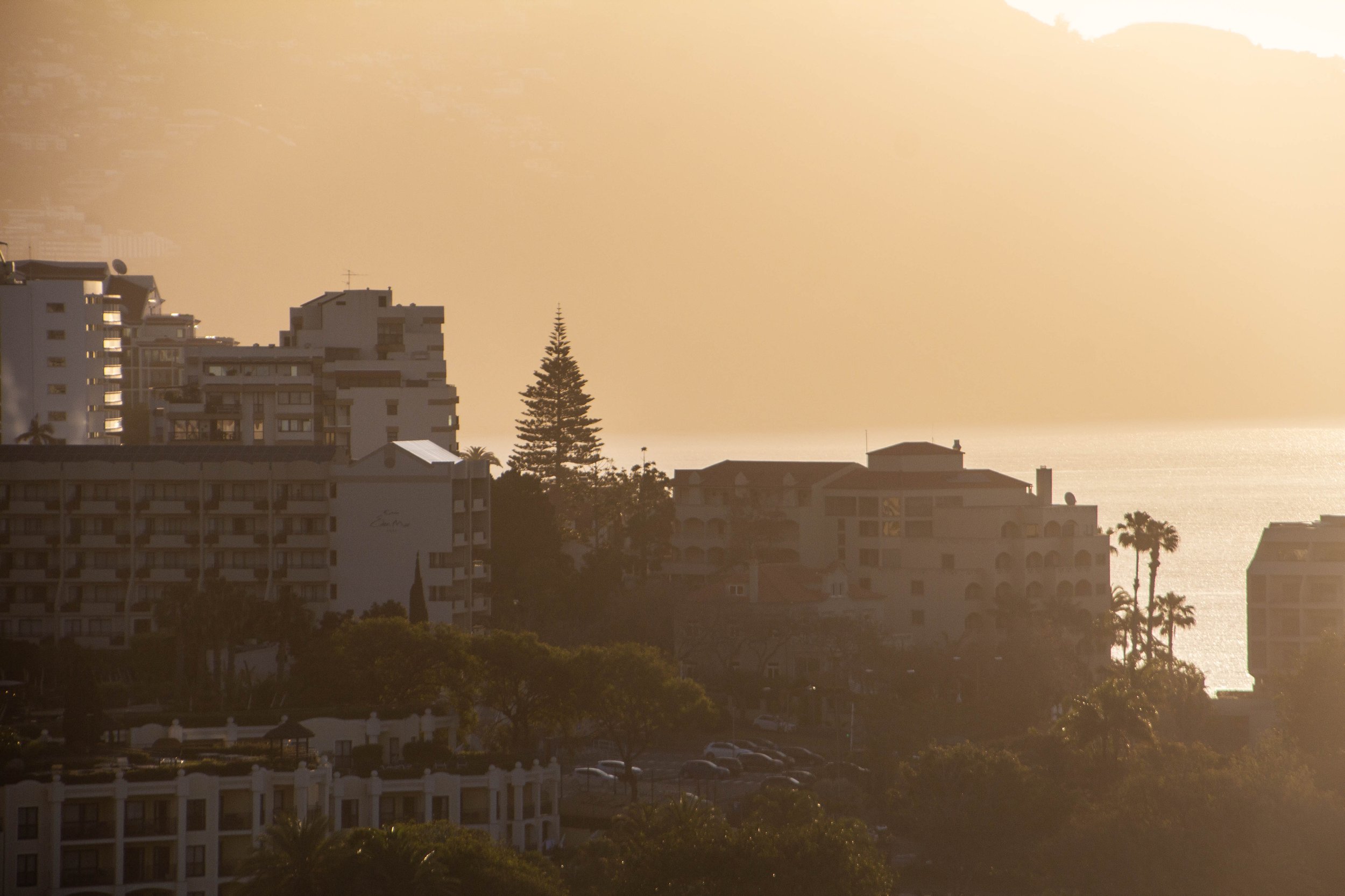
Our time in Portugal continues! Now we’re going to head to the Lisbon airport and catch a plane to a little-known island off the coast of Africa that… somehow… is still part of Portugal?? It’s called Madeira.
To be perfectly honest, even I—PETER, THE MAP ENTHUSIAST—wasn’t sure where Madeira was when the idea of traveling here was first posed to me. This is why it’s good to plan trips with other adventurous friends: they will push you to places you wouldn’t have otherwise considered! Once we settled on going to Madeira, it turned out that we had quite a few friends who had traveled here before us, so perhaps this island isn’t so “little-known” after all. 🤷🏻♂️

The historic center of Lisbon, predictably, is too dense with beautiful historic buildings to allow for many murals. The truly gorgeous European cities—and Lisbon is definitely one of them!—typically make the most of space in a way that doesn’t leave room for big murals. Street are needs empty walls. So in a city like Lisbon, you have to look outside of the city center.
So the majority of these murals came from neighborhoods called Ajuda (west of the city center) and Graça (just east of the city center).

There is so much history here that it’s tempting to jump down a rabbit-hole, but I think that would actually be sort of a distraction. When I first arrived in Lisbon, although it was clearly rich in history, I spent most of my time just trying to wrap my head around how BEAUTIFUL it is. This is easily one of the most beautiful cities in Europe. I haven’t been everywhere yet, but in terms of raw aesthetics, Lisbon rocketed to the top of my list quite easily, along side places like Amsterdam, Stockholm, and Valletta.
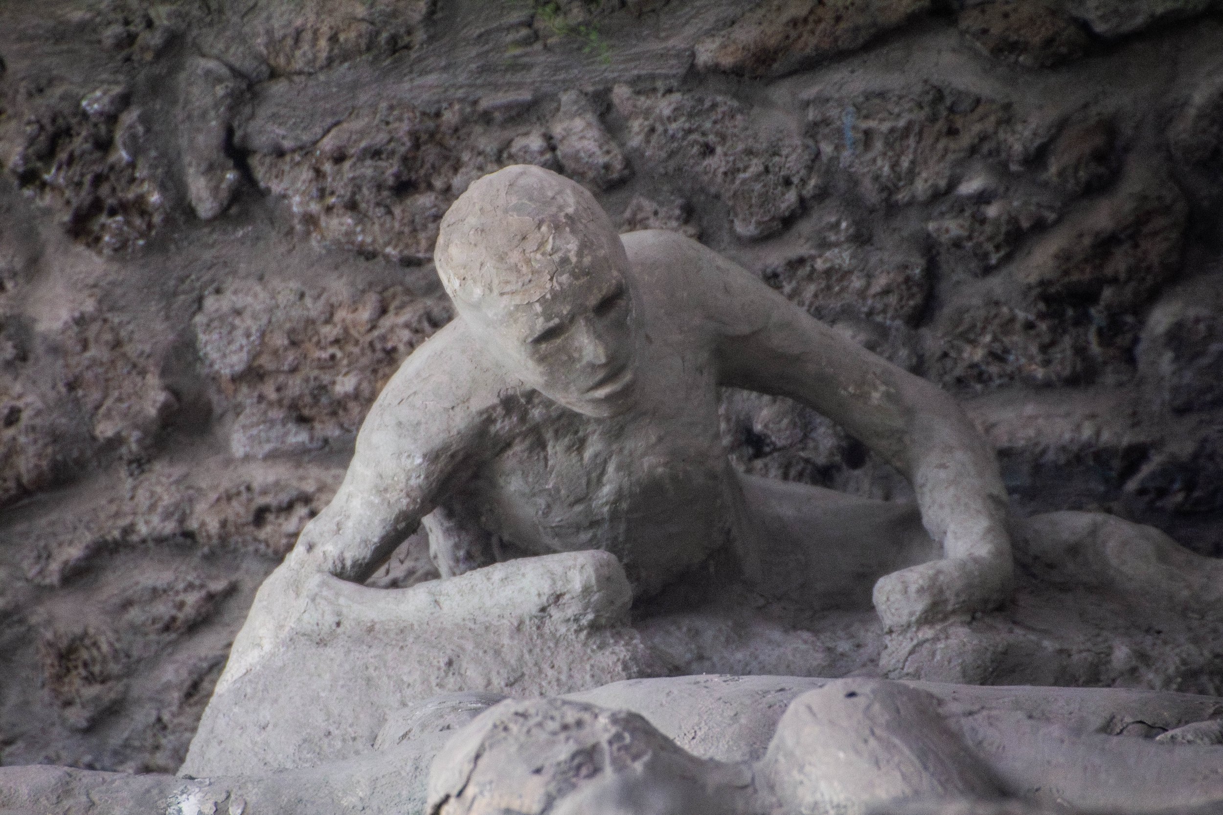
The Greeks really started to invest in and expand Pompeii around 450 BC, but a couple of centuries later, it would ultimately pass into the control of the Roman Empire. By the year 78 AD, it was a large, affluent, well-to-do town in the Roman Empire, which was already more than 3x older than the modern-day United States.
Oh yeah, and it also sat right next to a giant volcano called Mount Vesuvius.
In 79 AD, Vesuvius erupted, releasing approximately 100,000x the energy of the atomics bombs that were dropped on Hiroshima and Nagasaki during WWII COMBINED. At this point in history, the Bay of Naples was already a densely populated area, which made this one of the deadliest eruptions in history. Pompeii, as well as a few other towns in the area, such as Herculaneum, were pretty much wiped off the map, their inhabitants burned and/or suffocated by the violent pyroclastic flows.

Naples takes its calcio (football a.k.a. soccer) seriously. Support for Napoli is almost a religious belief here, and the fact that images of Maradona (the most famous Napoli player ever) outnumber images of Jesus in the streets of Naples can serve as proof of that. But it’s not just Maradona; there are images of the Napoli logo and Napoli players everywhere around Naples.

We’re back with another article set in urban Naples, AND the 2nd-ever showcase of Italian street art! The first took place in Sicily a few years ago, but Naples absolutely crushed Sicily in terms of street art.
Being in beautiful old cities—like those found in Italy—often means less murals. This is because these cities are dense, beautiful, and well-kept—so there’s no empty surfaces for street art. As such, I haven’t yet seen much street art in Northern Italy. However, Southern Italy—being the poorer half of the country—provides a bit more empty space for murals. And Napoli’s unique blend of rich culture and poor economics creates the perfect conditions for Italy the flex its artistic muscles in grittier and more contemporary ways.

Off the Sorrento Peninsula, in the Bay of Naples and the Tyrrhenian Sea, sits the tiny, beautiful island of Capri It may seem like the conversion of places into ~tourist destinations~ is something of a recent phenomenon—like in the last 70 years or so—but there are some places in this world that have attracted tourists for much, MUCH longer.
Capri is one of those places.
In fact, it was functioning as a vacation destination as far back as the ROMAN EMPIRE, likely before the birth of Christ. We actually don’t even know the origin of the name “Capri.” This idyllic isle just is. It’s eternal; immortal. And it’s also one of the rare places in the world where tourism cannot possibly cheapen the destination; it IS the destination.

Naples is the capital of the Italian region of Campania and the 3rd largest city in Italy in terms of population, behind only Roma and Milan. Naples proper has a population of ~909,000 people, and a metro area population of ~3.1 million people, although that figure has been on the decline in recent years. However, the UN projects that starting this year the population is expected to enter a new period of growth. So, the punchline is, Naples is a big city. Especially in the context of Italy. Honestly, I would have guessed that the population would be more than this. It feels quite overwhelming when you’re in the middle of it.

This article marks a ‘first’ for Peter’s Big Adventure: this was the FIRST time that I tried to upload so many photos at once that SquareSpace cut me off. Apparently the limit for a single-batch upload is 250. 😂
So that should be a good indicator for what is to come.
Today we’re venturing into East London to visit BRICK LANE. In Volume 1 of this series in South London, I spoke to how much walking I had endured in order to piece that article together. At the time, it seemed to me (a recent arrival here) that London’s street art was quite decentralized, but I have been proven wrong many times over since publishing that article. There are dense clusters of murals if you know where to look. And thankfully, I have gotten some good pointers from people who know London a lot better than I do about where to find these clusters.

And we’re back with more of the beautiful game! And my quest to get to as many stadiums in London as possible continues, this time with Craven Cottage, where Fulham will host the mighty Liverpool in the 2nd leg of the EFL Cup semi-final. In the 1st leg, Liverpool beat Fulham 2-1. This match would decide who moved on to the final. This will be the smallest Premier League stadium I’ve yet visited, so it should be a good time.

This article is going to be a LONG one! And despite the length, this is still just the tip of the iceberg that is London’s vast collection of museums. I’ve heard that London actually has almost 200 museums! Honestly, I am museum-ed out even after these 9. So I’ll do my best to keep my writings on each of these short and sweet.

Established in 1753 in central London, The British Museum hosts upwards for 4 million visitors every year, and has 8 million historical and cultural artifacts on permanent display. It is, without a doubt, one of the largest and most famous museums in the world. In fact, by some measures, it is the largest museum in the world… and nowadays I think it’s safe to say that it’s also the most controversial.

My quest to visit all of the football stadiums in London continues, this time with Tottenham Hotspur Stadium in North London. Today we’re going to be seeing the Spurs play against Bournemouth.
Tottenham Hotspur Stadium is incredible. It is absolutely the nicest stadium I have ever been in. The floors under the overhang are carpet! As soon as I walked in I was involuntarily smiling. And then, when I realized that we had unwittingly gotten AMAZING seats, I was really grinning. This was one of the coolest atmospheres I’ve ever experienced! Before the game even started, I already liked this stadium more than Stamford Bridge, and a LOT more than London Stadium.

The Canterbury Cathedral is a marvel of gothic architecture and remains immensely important in the modern day. In fact, before I had actually visited this place, I mostly just thought of it as the town around this cathedral. We’re going to spend a lot of time exploring this cathedral today, but first, let’s have a walk through town.
It turns out that the town of Canterbury is quite charming in its own rite! My sample size is still quite low when it comes to England, but this felt—to me—like the quintessential English town. Even in the rain, it makes for some lovely walking.

Our winter wanderings in Stockholm continue!
The previous article was more focused on a general introduction to Stockholm, but in this article I’m going to adopt a new focus: attempting to share the coziness of this trip with you. As beautiful and charming as Gamla Stan (Old Town), and Södermalm are, the best trips—to me—have a funny way of differentiating themselves not through the official sights to be seen, but what happens in between.

Ya’ll, the temperatures here were like -20° C (-4° F). I think this was a bit of a cold snap even by local standards, but that didn’t make it any less painful. According to my FitBit, we did about 30,000 steps on our first day here, all through the frigid cold.
However—and I never thought I would say this—I think the cold made Stockholm all the more magical. This was truly one of the most idyllic trips I’ve ever taken. I’m sure this is just the tip of the iceberg in terms of what winter travel to Scandinavia has to offer, but to me, Stockholm was nothing short of a winter wonderland. And the fact that the cold forced us into cozy little bakeries to warm up about 3x as often as we would have otherwise stopped didn’t hurt either.

I’ve heard it said that London is the ultimate Christmas city.
It definitely puts on quite a show come Christmas time! But the drawback is that, during the “festive period” (as it is called), the streets are MOBBED. The holidays in London are both magical and chaotic; enchanting and stressful. This year, I was lucky enough to have my loved ones come to London to visit me during the holidays, so I got to spend the “festive period” being a tourist in my new city. Despite the obvious stress that comes with trying to guide your clan through crowds of people, it was a lovely time, and I’m glad to be able to give it some coverage on this site. Because ✨Christmas London is a destination unto itself.

In the previous installment on street art in London (volume 1), I said the following:
“When I moved here, it quickly became apparent that London’s many famous murals were not all conveniently located in the same few alleyways as had been the case in some other cities. London was going to make me do some WALKING in order to find its murals. This was a true scavenger hunt.”
Well… I stand corrected! When I wrote that article, I hadn’t yet visited the Leake Street Arches.

I’ve said it before on this website and I’ll say it again: London is EASILY the most diverse place I have ever lived. Honestly, it’s hard to imagine any place on earth being more diverse than London. That is not hyperbole! I truly don’t think anywhere else can touch it in terms of diversity. So it should come as no surprise that London’s street art is as interesting and colorful as its inhabitants.

For the unindoctrinated, Everton is a Liverpool-based team coming to play on West Ham’s home turf. This is an interesting season for Everton because they were docked 10-points in what the football world has unanimously agreed is an injustice of the highest order. After that, death (i.e. relegation) seemed inevitable, but they have harnessed their collective spite to mount a revenge-fueled run of wins that has put them comfortably in the center of the table, safe from the relegation zone. If it wasn’t for those 10 points, they would be a strong contender for European qualification right now. Unfortunately for West Ham, this would ultimately mean a home-defeat for them. So there were lots of angry fans in East London on this day, but that’s part of the magic of the game. ✨

Today we’re going to Stamford Bridge to see Chelsea v. Brighton in the EFL Cup a.k.a. the Carabao Cup!
This is not technically my first English Premier League (EPL) game because it’s a cup game (i.e. it’s not part of the regular season, it’s a separate competition) but it’s still a good time. So let’s get into what this experience was like… because, it was an experience.
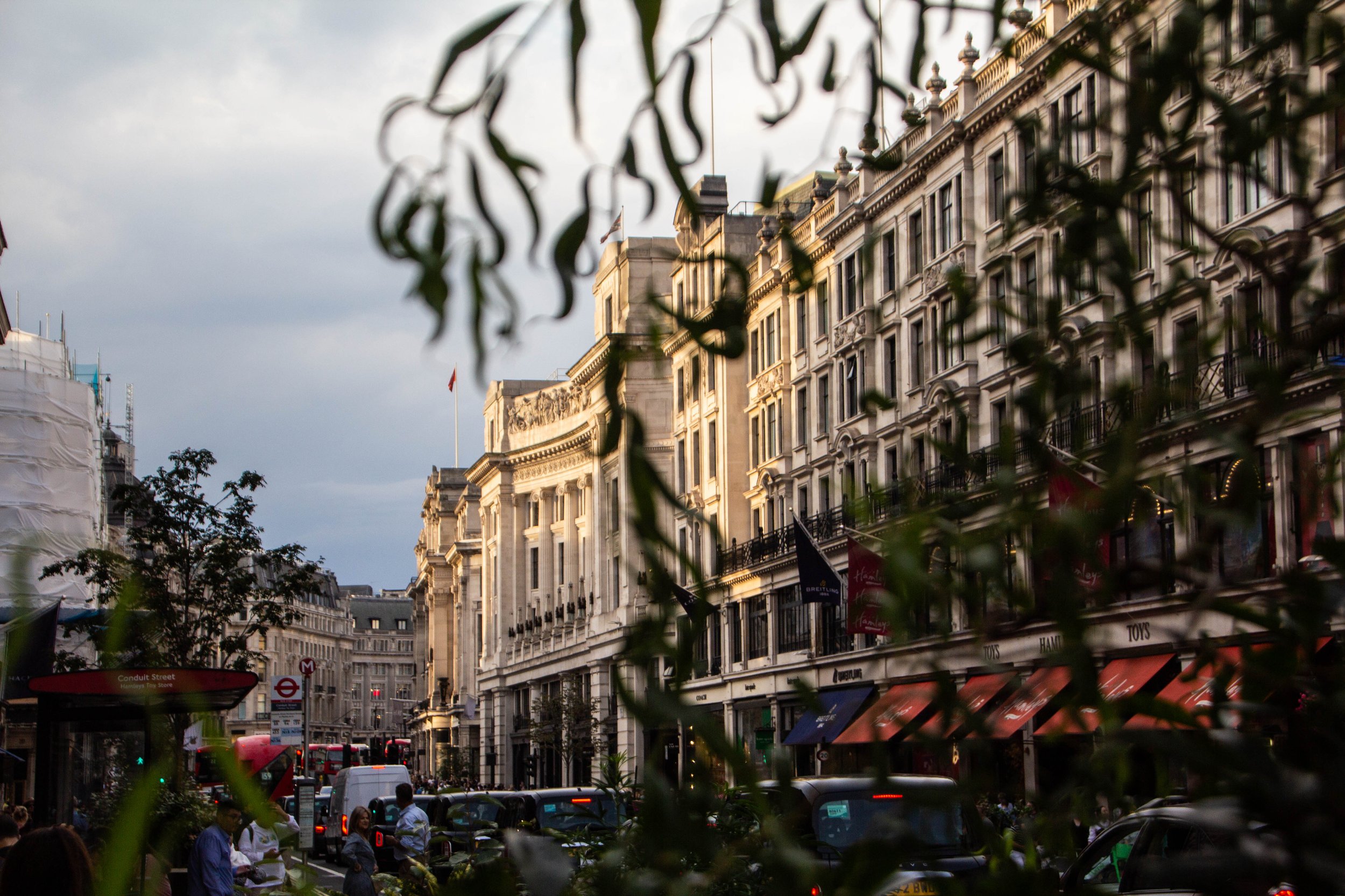
Today we’re going to walk from Green Park to the BT Tower at sunset. I’d plot out the route of my walk for you on Google maps, but I have no idea what my route actually was. As is my custom, I was trying to get lost. What I can tell you is that this walk will take us through a little corner of Mayfair, and then through neighborhoods called Soho and Fitzrovia. Having only been here for 1.5 months, I still feel quite under-qualified to be making any sort of statements about London as a whole, but these areas really feel like the “heart of the city” to me.
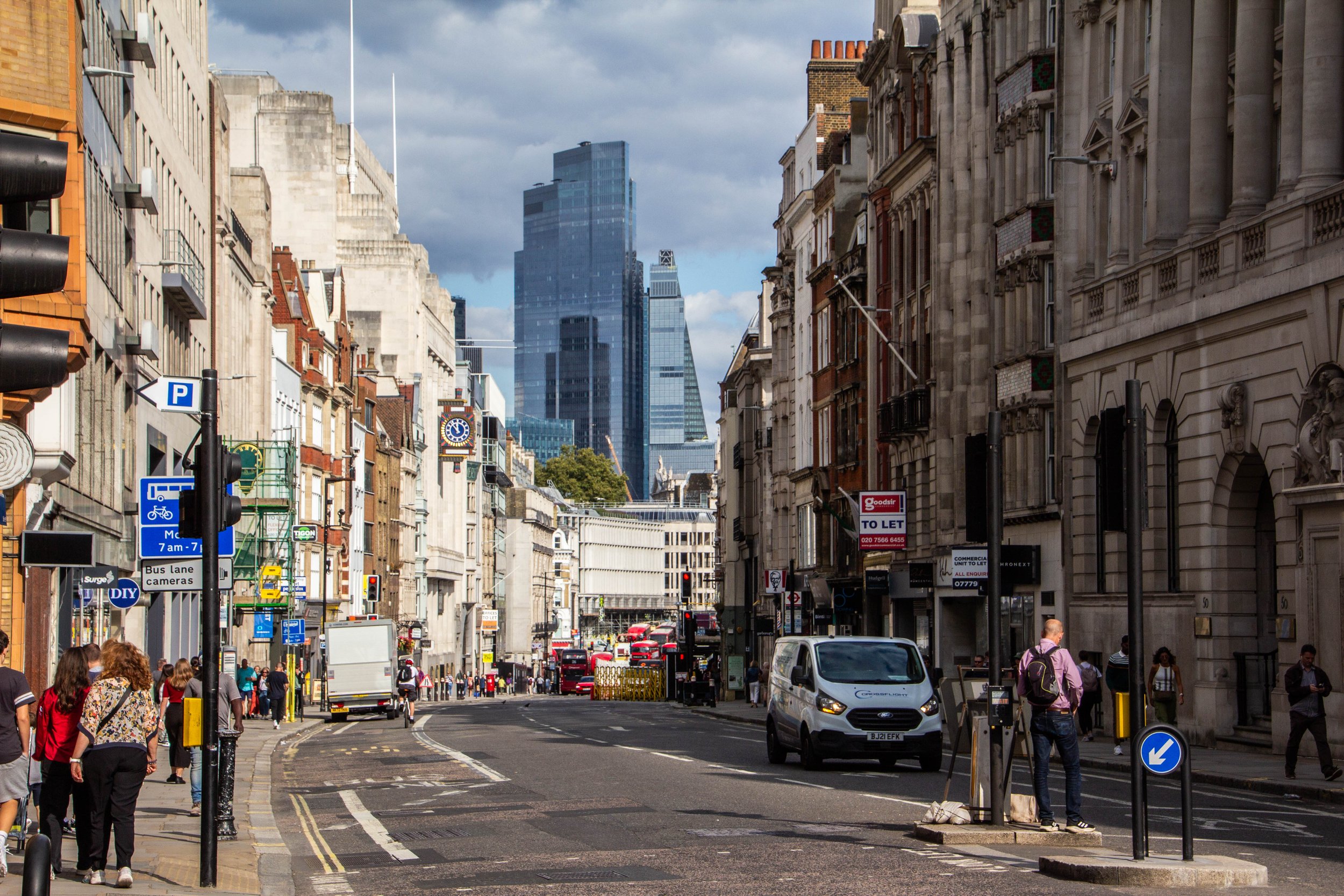
I don’t know if people coming to visit as tourists really get a sense of the scale of this place because most major tourist attractions are clustered relatively close to one another. But to me, whose first time in London was the day I moved to London, its size was a bit terrifying. I couldn’t afford to stay in the city center, so I found an Airbnb further afield. Fighting the traffic and crowds to haul my ass back and forth across this city to do apartment viewings was exhausting, and I only covered a small portion of the city in those trips.

Welp, I won’t bury the lead.
I am moving to London!
If you haven’t heard of it, that’s in England.
It’s a bit surreal that I haven’t been to the UK yet in my travels. I suppose it never seemed like it would be all that foreign, so every time I was planning a bit of travel, I opted for something that felt more AdV3nTuR0Us. I always used to say “I’m sure I’ll end up there eventually.”
Well… that turned out to be truer than I could have predicted.

On our final day we did a dolphin boat tour around the protected waters between Anna Maria and mainland Florida. We did see a bunch of dolphins, which was cool, but what I remember most from that tour was our cruise through a little area that is apparently known locally as the “redneck riviera.” At the very bottom of Anna Maria Island, between the barrier islands and a small interior island called Jewfish Key 🫤 there is a sandbar where the water is shallow enough for a child to walk around. The cool thing is that it’s surrounded on all sides by deep water, so it’s basically only accessible by boat. So there were a number of boats floating nearby, encircling this sandy, teal-water playground, with people walking around in the middle. It was really cool. And of course, the Florida gulf-coast water is as warm as bath water.

East Nashville is the neighborhood that served as home base for me throughout the duration of my time in Nashville, and there was never a moment when I didn’t love this slice of the city. Even at the height of my dissatisfaction with Nashville, I remember saying how much I still loved East Nashville itself. I’d be happy to live in a neighborhood like this one again someday. I just hope it’s not in Tennessee. The casual passerby might not see much past the monstrosity known as Gallatin Pike (which is the main “stroad” of this neighborhood), but once you get off this excruciating wasteland, there is a beautiful neighborhood waiting to be discovered.
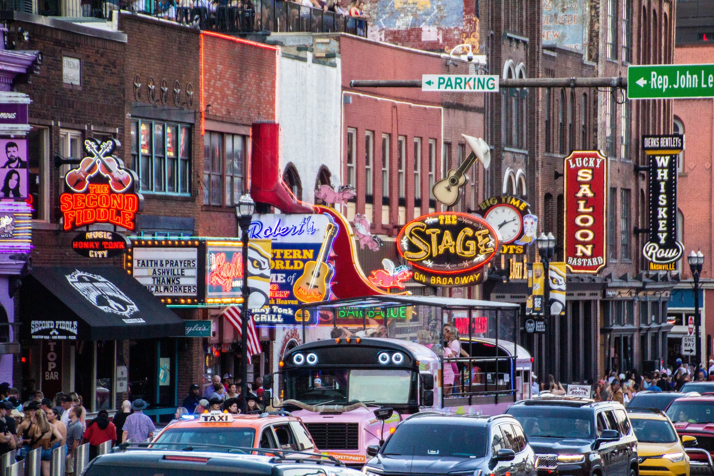
I lived in Nashville for many years, pursuing my own musical endeavors. And while it was a great place to make music, I always felt a bit at odds with the larger-than-life, cowboy-hat-wearing, beer-swigging, Trump-voting, bachelorette-party-hosting persona of Nashville’s calling-card genre: country music. At the height of my involvement with Nashville’s music scene, I definitely had a bit of a stick up my butt about country music. The two main reasons for this were, (1) as a non-country musician working the Nashville circuit, I was eager for this city to be more known for music *in general* than for country music specifically, and (2) the novelty of this scene had LONG-since worn off, leaving me annoyed in the way only locals can be in regard to tourist attractions. Therefore, I always refused to cover any of Nashville’s country persona on this website.
Ironically, I actually do like country music.
And now that I am (SPOILER ALERT) leaving Nashville, I thought it’d be prudent to cover the country scene here… you know, for the court record. Afterall, this can make for a super fun trip if you’re visiting from out of town. So without further ado, let’s get country!

Dunno if anybody will read this, but I have learned so much about this subject that it seemed like a shame not to write it down. So here goes nothing.
I should start with one massive disclaimer: I am not now—nor was I ever—a “rock star,” so if you want to write off my advice due to the modesty of my success with this endeavor, I’d understand. But I would have killed (metaphorically) to get this information from somebody like me when I first showed up in Nashville. This is gonna be some insider shit. It won’t all be super tactical, but it should be pretty evergreen. And I can almost guarantee that this information is not written anywhere else on the internet. Or, at least not anywhere easy to find.

Whether or not these kinds of country bars are “your scene,” there is one thing that can be said for certain about Nashville’s Honky Tonks: they are the genuine artifact. Almost anywhere else you would encounter this kind of atmosphere, it would be a rip-off of something else. But THESE bars are the O.G.s. It was here that the “Father of Country Music” Jimmy Rogers started playing at bars almost a century ago in the 1930s. The area has gone through some ups and downs over the past 100 years, but today Broadway is enjoying multiple consecutive decades of economic growth.
Yes, if the articles on the Internet are to be believed, Music City is the place to be! Over the past few years, it has become an oft-recited fun fact that more than ~100 people are moving to Nashville each day. I can guarantee you that almost every single one of these people knows Nashville’s nickname, ‘Music City,’ and will visit Broadway—and maybe even the nearby Country Music Hall of Fame—in the first 6 months of living here.
However, very few of them will have ever heard of the other side of this coin: Jefferson Street.

With a population of only ~25,000, Newport might be better described as a “town” than a “city.” Whatever it is, it’s one of the prettiest New England places I’ve ever seen! It’s like if Boston was only Beacon Hill. Founded all the way back in 1639, it completely embodies the best of this region, with historic buildings, charming local shops, cobblestone streets, and all sorts of plaques and details on each street to remind passersby of its seafaring, colonial past. I think this place becomes quite the tourist destination in the summer, but on this cold spring day, we could walk these city streets in relative anonymity.

Founded all the way back in 1636, Providence is one of the oldest cities in America. It was founded by puritan exiles from the Massachusetts Bay Colony, and would ultimately become one of America’s original 13 colonies. So, Providence is one of the O.G.s.
What is Providence like today? Well, it turns out that being the “most populous city” in the smallest state in the US doesn’t mean much in terms of population. Boston, which is less than 2 hours away, absolutely dwarfs Providence, whose population is even less than that of Worcester (“wus-tah”), MA. So, Providence is a relatively small place. However, it still manages to play an active role as a regional hub, boasting 8 major universities, including Brown, RISD, and Johnson & Wales University.

Here’s the thing about State College: it’s in the middle of goddamn nowhere. It’s notable because it’s the college town corresponding Penn State, which is one of the biggest universities in the country. And what is Penn State close to? Nothing. It’s the place that other things are close to. So we had to fly to Pittsburgh and then drive 3 hours in a rental car to get here. All that sounded like a huge hassle to me, until we got off the plane and promptly entered fall paradise. The trip turned out to be the biggest and best dose of autumn that I have gotten in a LONG time. Here are a few snapshots of the nice fall weekend that was to come.

When I arrived in Minneapolis, the one thing that I knew I 100% wanted to go see was the famous, original George Floyd mural. Ya’ll know I love street art. This is arguably the most famous mural in the world right now, so I had to make the pilgrimage. I had some vague awareness that there would be some remnants from the protests around it… but I was not prepared for what I found here.
George Floyd Square was one of the most powerful places I have ever visited. I’m not sure how long it will stay in its current form… but I hope some sort of city ordinance intervenes to preserve it this way forever. Let me show you what I saw here.

I think this post takes the cake for the farthest total distance traveled within a single street art post. These murals were SPREAD OUT. The Twin Cities is a massive place. And on this particular weekend, it was hotter than the devil’s butt crack. I hope you are reading this in a nice climate-controlled space because when I think back on this weekend… I feel sweaty.
Well, I won’t bury the lead. Let’s see some STREET ART, EH?

The Welshman Gareth Bale has been one of the most notable players in the world since the late 2000s when he transferred from Southampton to Tottenham Hotspur. This was before my days of fandom, but I think he really became a star after his 2013 transfer to Real Madrid. His is a name that American kids grew up knowing, mostly likely, thanks to the FIFA video games. He’s a big deal. But he’s getting older now and hadn’t been playing much at Real Madrid anymore, so ahead of his appearance in the 2022 World Cup, he made a surprise transfer to LAFC. Honestly, the golden age of Gareth Bale was a bit before the start of my fandom, but this was a huge “get” for MLS! You can find his insane highlight reel here.
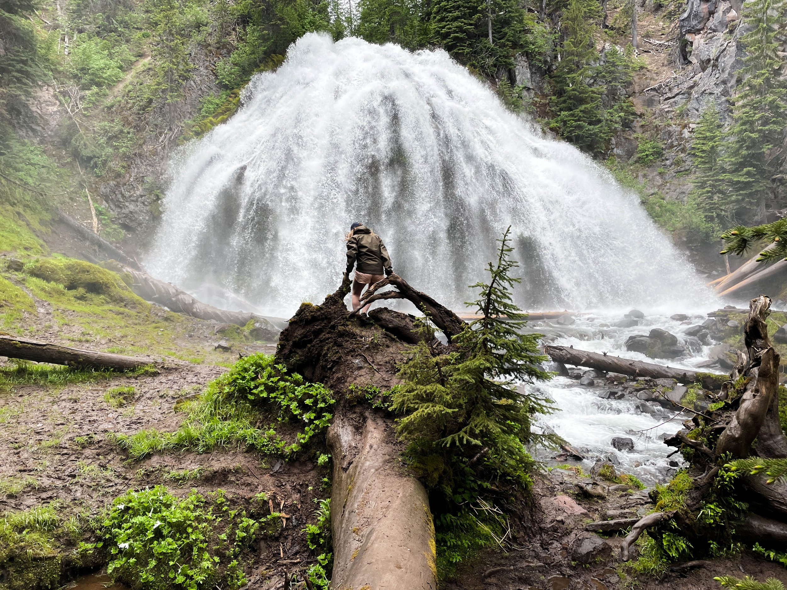
Chush Falls (pronounced “shoosh”) is actually nestled right up against the Sisters Mountains and Broken Top. The drive to get to this trailhead was about an hour from Tam McArthur Rim, all over gravel roads. Oh, and it was absolutely STUNNING. Honestly, even if you don’t do this hike, the drive is still well worth the effort. This was already bringing me closer to these mountains than I had yet been. Looking up at the snowy slopes, I could see every little rock and wisp of cloud clearly and was able to even capture some of this with my camera. And, miraculously, the weather really was clearer over here.

This many mountains is just insane to me. Prior to this trip, this was not what I pictured when I thought of Oregon. This was downright RUGGED! And it was gorgeous. The three mountains in closest proximity to Black Butte, and to one another are the Three Sisters for which this area is named: Middle Sister, North Sister, and South Sister. All three of these mountains are sleeping volcanoes. The North and Middle Sister last erupted ~14,000 years ago and scientists think it’s unlikely that they’ll ever erupt again. However, the South Sister erupted as recently as 2,000 years ago, and could feasibly erupt again. There have been sporadic reports of volcanic rumblings deep within South Sister since 1866, and there have been a couple of minor scares since the late 1980s. Nothing has ever happened, but there is a big pot of magma a few miles beneath the peak of South Sister. Did I mention that South Sister is also the easiest of these mountains to climb? Sign me up for that!! 😵

Making our way out of the Cascades, winding through these forests was very cool, but to really understand why this region is so jaw-droppingly gorgeous, you have to zoom out. I don’t know what I expected to find out here, but it sure as hell was not a bunch of majestic snow-capped mountains! I had heard of the “3 Sisters” mountains before, but I had no idea just how large they loom over this area. Also, they’re not alone. There are a whole bunch of other peaks around them that make Central Oregon feel like a high-altitude fortress. THIS is where the Wild West still exists. Eastern Oregon/Washington, Northern Nevada, Idaho, Montana… there’s a whole lot of empty space out here. As somebody who has never lived west of the Mississippi River, it kind of blows my mind that all of this exists in the same country I live in. In the next 2 articles, we are going to get out into these mountains, so I am not going to explain much more of this right now. For now, the following gallery will have to be as mysterious to you as it was to me when I first arrived here.
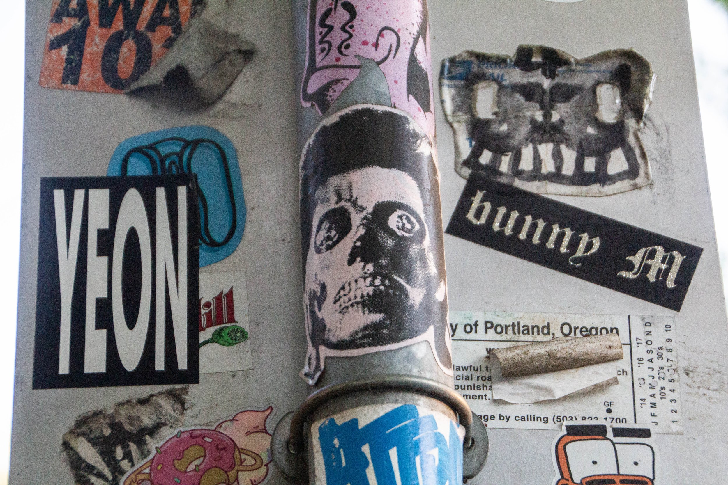
I’m going to do something a little different today. I love piecing together articles on street art wherever I can. It’s a great way to get to know a place! I had a hunch that Portland was going to have some really cool street art, but to my surprise and slight disappointment, I didn’t find quite the density of murals that I would have needed to merit a full article.
However, as I walked around the city, I began to notice that nearly half of all public surfaces that I walked past—be they street signs, telephone poles, or brick walls—were absolutely PLASTERED in stickers. And I’m not talking about some garden-variety smiley face stickers. Each of these was custom-made, artistic, and—for the most part—completely outrageous. Seriously, viewer discretion is advised. This collection of stickers would make my childhood pastor WEEP!

Portland is the southernmost major city in the Pacific Northwest, and, driving northward from Sacramento, it’s the next major slice of civilization you’ll find on the West coast. Although, I should clarify that Portland is not actually coastal. It is a “port city” because it sits at the convergence of two major rivers that are connected to the Pacific Ocean: the Willamette and Columbia rivers. It’s about a 1.5 hour drive to the Pacific coast, which leads me to another thing that I want to highlight about Portland: it’s proximity to nature. This is a common theme among cities in the Pacific Northwest—including Seattle and Vancouver. All of these places are great gateways to some incredible natural beauty. And Portland is no exception. With Portland as your “home base,” you can (for example) do day trips to 1) surf, 2) snowboard, 3) hike, 4) rock climb, and 5) sail on 5 back-to-back days. For the “outdoorsy” among us, it’s a great place to be.

I actually came to love Los Angeles during my last visit (right before COVID hit)—it is a very distinct place. And as Venice beach unfolded before me like some sort of surreal virtual reality, I realized that this might be the most “LA” place I’d yet seen. It is the stereotype of what this place is. It was Saturday night and everybody was out having fun. I hurriedly crossed the boardwalk and made a B-line for the beach so I could catch the sunset. It did not disappoint. I’ll postpone additional narrative in favor of just showing you the pictures I took.
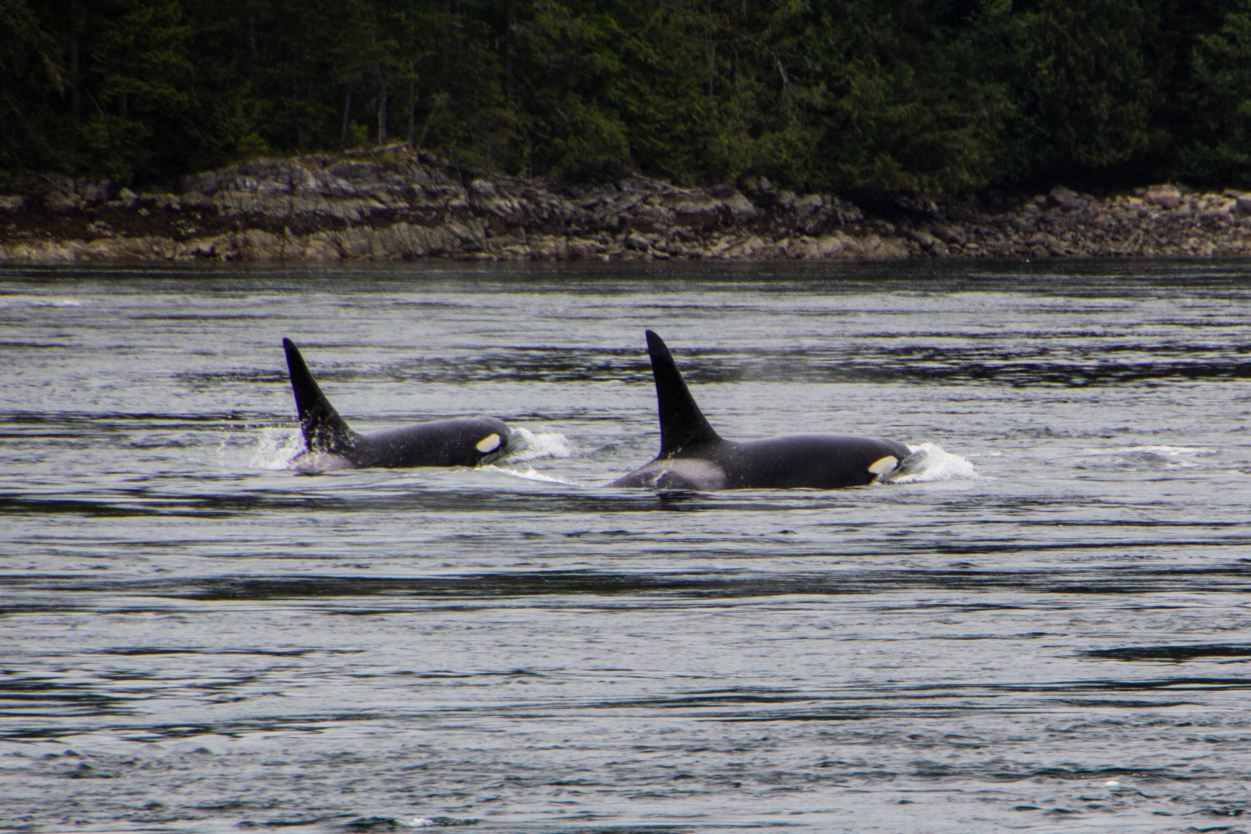
Orcas, or Killer Whales, were something of a feared creature in the olden days. Apparently, back in the 1800s when this part of the world was first being explored by Europeans, their technical/scientific classification was actually “Monster.” Hilarious as this might seem, it does make some sense. Black whales with sharp teeth and shark fins? Yeah, that would have definitely felt somewhat monstrous to me if I was an early sailor of these waters. The conventional wisdom of the day was that, if you fell in the water, you needed to get out ASAP so an Orca wouldn’t eat you. If you hadn’t already guessed this, there is, in fact, no record of an Orca ever eating a human. But this was still a legitimate fear as recently as the 1960s when they actually mounted a machine gun on a coastal bluff known as Chatham Point with the aim of shooting as many Orcas as possible. 🤯 Somehow, for the time when this gun was actively scouring the seas, the Orcas stayed clear of this area and there were no casualties. So Orca/human tensions have never escalated to be anything more than a cold war. And it was not long after this that human sentiments toward Orcas began to change for the better.

Cortes Island is perfect. I am not speaking figuratively. Literally perfect. Every little detail of this island was so effortlessly interesting, unique, and authentic… I don’t know that I have ever seen a place quite like it. It felt like I was living in a chapter of a book. It was like the entire place was straight out of a Wes Anderson movie. Think Moonrise Kingdom, but on an island off the coast of British Columbia, and mostly populated by adults. I could make a cool Pacific-Northwest-meets-Martha’s-Vineyard Pinterest board inspired by this place. Every property was tastefully weathered and clearly maintained with a personal, practical touch. There were no houses that screamed “VACATION RENTAL” here. Every single one of them looked like they were the active, primary residence of an eccentric gardener.

Our time in the wild, mossy forests of Western Vancouver Island is coming to an end. It’s time for us to make the journey northward toward a place called Campbell River. There are some really cool things in store when we get there, but before we jump into any of that, I wanted to share some miscellaneous exploits from our time between destinations. I often feel like it’s these “in-between” experiences where you really get to know a place, and Vancouver Island was no exception. The reason I feel like I “know” this place at all is because of the ground we covered in this article.

Avatar Grove is well-named; it really does feel like something out of Avatar. Or maybe Jurassic Park. It is a tangled, mossy labyrinth of ancient, knotted trees rising out of an infinite carpet of prehistoric-looking ferns. Each tree branch is draped with moss, similar to the way Spanish Moss hangs from every tree in Savannah—but in a green, lush, distinctly Pacific Northwest kind of way. Every little detail of this place was fascinating and photogenic. From the mossy, leafy forest floor, to the canopy high above our heads, every inch felt like its own world.

In the last article, we checked out Sombrio beach, which I think is likely the most easily-accessible stretch of coastline in the Port Renfrew area, and also the place that resembles the classic “beach” (i.e. sand, waves, etc) most closely. However, the majority of Vancouver Island’s coastline is not as easy to access and is NOT your classic sandy beach. This is a rocky, mossy, rugged, chaotic, windswept boundary zone, perpetually pounded with massive waves, riddled with lively tide pools, and entirely unaccommodating to the “beach vacation” experience. It’s also extremely cool.

To give you an idea of exactly how isolated this place is—the one gas station in the area was out of service during our visit, so we had to drive 2.5 hours EACH WAY to get to the next nearest gas station. We had been advised to stock up on groceries in Victoria before coming out here because we’d have to travel similar distances to find a supermarket. Also, Port Renfrew apparently experiences random rolling blackouts from time to time. When the power went out on our last day, we stopped by a local hotel & restaurant that had a generator running to ask how long these blackouts usually lasted—they told us that the last one lasted 2 days. 🤯 Suddenly, the flashlights we found waiting for us in our Airbnb made a ton of sense. That’s part of the deal out here!

“……Paraguay?” I asked through a confused squint. I did not recognize this name, but it sounded a bit like Paraguay, even though this guy was clearly not from South America.
“No… Haida (exaggerated pause) Gwaii.”
Google that. Google “Haida Gwaii.” I had never even heard of this place. And I have heard of most places.
That is the kind of place that Victoria serves as a way-point for. It’s a completely different world that awaits up here. But I’m getting ahead of myself. First, let’s take a walk around Victoria…

Making the jump from plain ol’ Richmond/Vancouver suburbs to historic Steveston happens unceremoniously. One minute you’re speeding through cozy residential neighborhoods, the next you’re slowing down as you drive along the docks. Having never been this far north on the west coast, my only reference points for what this place feels like were all about 2,000 miles eastward. Maine. Massachusetts. Nova Scotia. That’s what Steveston feels like.

We already talked about how close into the mountains Vancouver is. I have never seen anything like it—at least not for a city as big as this. Northern Vancouver is literally built into the sides of the Cascades, with its streets and buildings sloping up the sides of the mountains as far as physics will allow. So when you start driving northward from Vancouver, you will find yourself in the mountains pretty much instantly. The drive up follows the coastline of a rugged Pacific fjord that comes to a head in the gorgeous little town of Squamish, and from there it’s all mountains. Here’s a map of the trip. It might not look like a huge distance on the map, but’s 2.5 to 3 hour drive to get up there from Vancouver.

Vancouver is kind of a perplexing place because it mashes together a lot of puzzle pieces that don’t really seem like they should fit. Or at least, they didn’t to me. When I first arrived, I was having a sort of dissociative experience trying to piece it all together and make sense of things.
First off, there’s the location. Looking northward, Vancouver is built into a landscape that seems entirely impractical for a major city. It’s hard to believe just how close the northerly Cascade mountains are to the city. The northern suburbs of Vancouver literally slope upwards as far as physics will allow before you’re headed towards snow caps. 🏔

Say what you will about Vancouver—there’s no debating that it makes an impression on you. Its iconic glittery, sparkling, glassy skyline set against a backdrop of imposing, snowcapped mountains and moody gray skies is nothing if not striking. But there’s a lot more to this place than whatever this image conjures up for you. Vancouver is an unlikely swirl of old and new, of chic and grit, and of sun and rain. And it will serve as the base camp for our next series of articles.

You can’t actually drive all the way out to Tomales Point. There’s a parking lot and a trailhead next to the historic Pierce Ranch. From there, it’s a 9.4-mile round trip hike to get all the way out to the tip and back. Over the course of this route, there’s a total elevation gain of 1,177 feet. Honestly, it’s a pretty easy hike. I did this when I was fresh off a particularly rough COVID infection, still trying to get my mojo back, so this should give you no pause.

Point Reyes National Seashore is a prominent peninsula/cape land formation that juts out of the California coast just north of San Francisco, in Marin County. Bounded by Bolinas Lagoon on the south and Tomales Bay on the north, it’s well known as a beautiful Northern California nature destination. There’s some mildly interesting history here, but mostly it’s just gorgeous. And to raise the geological stakes a bit, the San Andreas Fault is what separates this area from mainland California. That will show up in the pictures I have coming up for you in some cool ways.

Before we head out of the city and into some nature, we’re going to take one last photo-walk through a very specific slice of San Francisco: Haight-Ashbury. Today it would be easy to pass through this area and think it’s just a pretty neighborhood, but there is actually some really cool history here from the not-so-distant past. There was a time when Haight-Ashbury was the epicenter and headquarters of a national zeitgeist whose iconic status endures to this day.
I’m talking about the Summer of Love.

I have been doing this blog for like 8 years now, so I am really only just now arriving at the point where I am running out of things to cover in certain cities. My first articles on San Fran were relatively early in the lifespan of this site, so I would probably do things differently if I were to write about those same things now, but the fact remains that—for the time being—there’s a lot that has already been “checked off the list” here. In other cities that might deter me from taking as many photos or visiting as often, but not here. In San Fransisco, I don’t need an angle. I am happy just to exist here, and walking around it always feels like I shame to leave my camera behind.

San Francisco is not a flat city. The word “hilly” doesn’t quite cover it. So it should come as no surprise that there are lots of interesting staircases (600+) scattered throughout the city, helping pedestrians scale the city’s steepest nooks and crannies. This much is to be expected. But what I did not expect was that many of these staircases have been turned into hidden works of art. I’ve been to San Francisco a few times, and I have somehow never stumbled across even one of these before. And what you’re about to see isn’t even all of them! We’re going to start in the Richmond District, but then we’re going to head south and spend the rest of this article in the Sunset District.

And we’re back in mainland Seattle from our little trip over to Bainbridge Island! In our first installment, we checked off some of Seattle’s more obvious tourist attractions (i.e. Pioneer Square, Pike Place Market, the view of the Space Needle from Kerry Park, etc.). It was very cool, but TODAY we’re going to peel a few more layers off the onion and get into some of Seattle’s quirky b-list attractions. As a city, Seattle has a stronger and more distinct personality than most. I think this cross-section of less-notable items actually did more to help me get to know this place than the major tourist attraction did. It’s all about details.
SO LEMME HITCHU WITH THE DEETS.

I’ve heard Seattle described as “Portland’s mainstream older brother.” It’s true that Portland (Oregon) has long enjoyed a reputation for being one of America’s “weird” cities, as evidenced by its famous slogan, “Keep Portland Weird.” However…
I’ve been to Portland. My main man Buddy who accompanied me on this trip even lived there for a hot minute, and we both agree: Seattle is definitely weirder. In fact, I think I can conclusively say that there is more unabashed weirdness walking around the streets of Seattle than any other city in America. I’d be lying if I told you it didn’t make me feel uncomfortable a time or two (spoiler alert: there’s a nude beach in this article) but after some reflection, I think the problem is me. Because if you really think about it, the amount of weirdness walking around the streets of any city is likely the same no matter where you go. The difference is that, in Seattle, people feel empowered to be themselves. So they let their freak flags fly. And that’s pretty cool.

I’ll start with a quick introduction to Bainbridge Island. The first thing I should probably tell you about Bainbridge is that it’s not just some tourist haven—it’s actually a commuter suburb of Seattle. Lots of people live here! In fact, there are more islands out here than just Bainbridge, and many of them fall into this same category. Bainbridge alone has a population of about 25,000. I actually had a friend in college who grew up here, which now makes me jealous.

Some places hit you with vibes the second you step out of the airport. The air is different. The energy is different. Even the industrial in-between areas around the airport and the highway have a strong sense of character. Seattle is one of those places. In a happy twist of fate, I unwittingly ended up on the same flight to and from Seattle as one of my buddies in BNA, so I got the express pass into the city riding shotgun in the car that he had rented. Seeing the breathtaking Cascadian landscape unfold before us, I could not stop talking about how cool it all was. The mountainous terrain makes it so you are always either arriving at or leaving from a scenic vista, each of which provides a more gorgeous view than the last. Looking out in any direction, there are always multiple layers of water, city, and evergreen-dominated foothills between you and a background of MUCH larger mountains. And those mountains are always set against an expressive sky, which alternates between a clear, northerly baby-blue color, or a swirling moody mass of clouds.

This place is DENSE with street art. I have a ton to show you, and I didn’t even get all of it. I mean, I doubt that I ever get 100% of this stuff, but I at least try to exhaust everything that I am aware of. But I have never knowingly left so much on the table as I did in Denver. There were lots of incredible murals that I saw out the window of a car, or when I didn’t have my camera with me, and I was never able to circle back to capture them. So as much as I have for you, this does not NEARLY cover it.

Boulder, Colorado. With a population of just 97,385, it’s definitely one of America’s most famous small towns. Sitting at an elevation of 5,430 feet above sea level, its reputation as a beautiful mountain town has made it a household name. But, to the un-indoctrinated among us, it may come as a surprise to learn that it’s actually not in the mountains per se… it’s a smaller moon in the orbital of the Denver metro area, and as such, it is merely mountain-adjacent. It’s pressed right up against the mountains, but it’s not actually in them. This was a surprise to me at least. The drive time from Denver to Boulder is like 40 minutes, and it’s not exactly an undeveloped stretch.

Denver is famous as America’s “mile-high” city. This is because its geographical position as the gateway to the Rocky Mountains places its elevation roughly a mile above sea level. Indeed, its reputation is inextricably tied to the Rocky Mountains, but I actually think that this is a bit misleading. Denver is a decidedly flat city. It is the last city in the Great Plains before the beginning of the Continental Divide. You’ll see this illustrated on the map below. Denver’s urban sprawl pushes right up the edge of the mountains!

Today we’re going to start with a clerical note that was once confusing to me. The instant you start talking about Boston neighborhoods, you will hear the terms “South Boston,” “South End,” and “Southie” come up fairly often. When I first moved to Boston back in the day, this was confusing to me. I knew there was more than one neighborhood in the mix, but all of these terms sounded the same to me. Well let me break this down for you: South Boston and South End are different neighborhoods. And “Southie” is the common nickname for South Boston. Historically, these were very different places, and today we’re going to check out both of them…
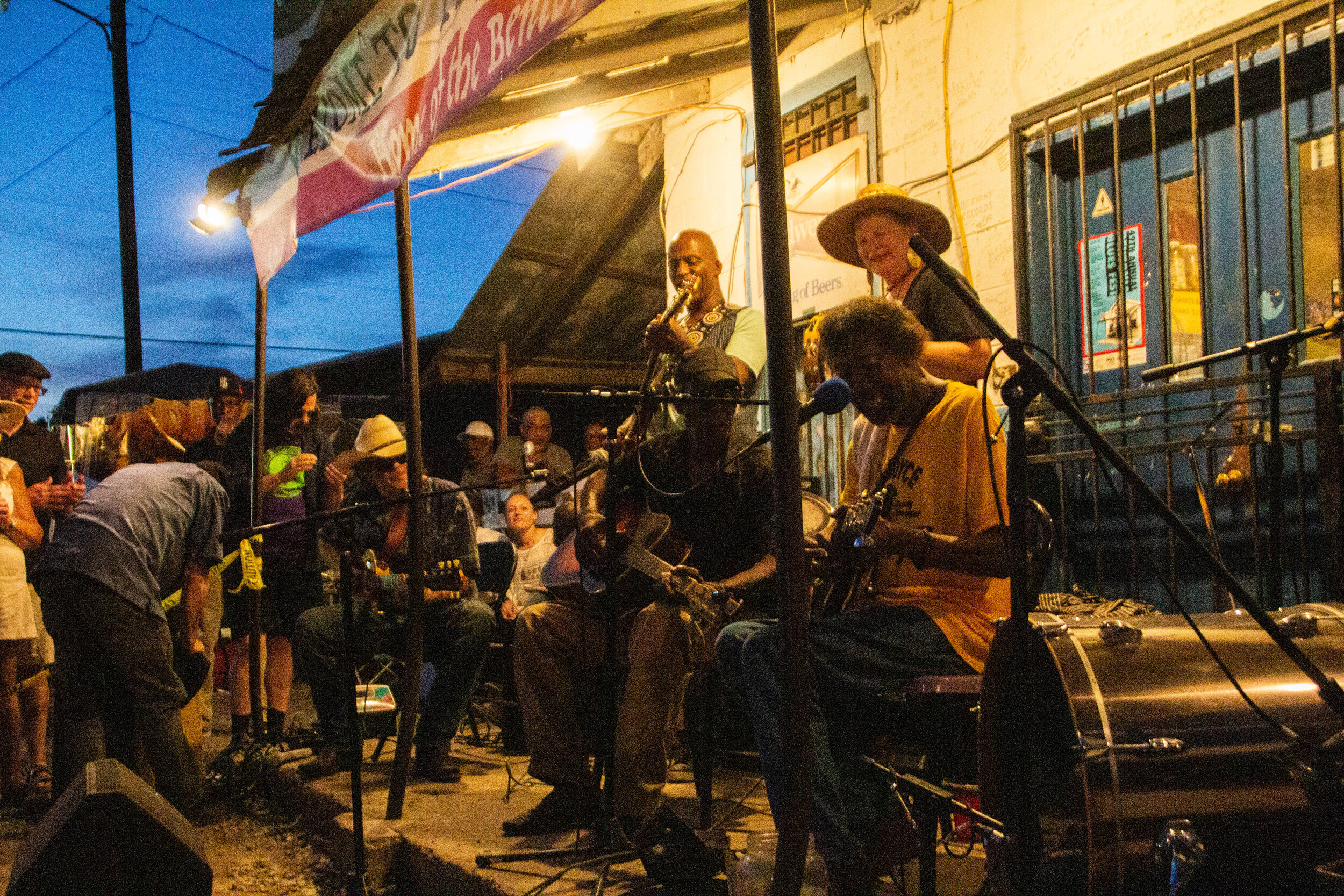
I don’t know what I expected when I showed up in Mississippi. I had some vague aspirations about getting out into the legendary Delta to see pieces of the Blues Trail, but I wasn’t sure how realistic it was to cover all of that ground in the short time I had. I thought it would be cool to visit the Crossroads, but everybody I know that has been there told me it’s literally just an intersection in the middle of nowhere. So I wasn’t sure it was worth the drive. This probably doesn’t sound like the beginning of a great article. I really thought of the Blues mostly in the past tense so I wasn’t expecting to find anything in Mississippi but some history. But OHHHHH MAMA! I have never been more wrong in my LIFE!

I got the chance to visit Mississippi recently, and that just so happened to be on the weekend of Juneteenth, 2021. Mississippi is not a place that tends to be high on anybody’s travel bucket list—least of all mine—but the opportunity presented itself, so I went for it! Honestly, I have always been curious.
Today we’re going to talk about the elephant in the room: race in the Deep South. And just like with any other article I write, I don’t claim to be an expert. I’m just a white dude trying his best to understand the world around him and become a better person along the way. And I am, like the rest of us, a work in progress.

St. Louis, Missouri. In the previous article, I opened by talking about how I didn’t have much more than a vague awareness of this place before fate landed me here for a long weekend. And that is true, BUT—since I have become obsessed with doing these articles where I compile collections of murals in a particular place, I have had my antenna up for information about where I can find the best street art. And I had heard that St. Louis was actually one of the street art capitals of America. Who knew!

St. Louis, Missouri: Gateway to the West.
I can’t say that I ever thought much about this place until a wedding landed me here for a long weekend. I think that in the past I had a vague notion that St. Louis wasn’t the nicest city in the world, but I wouldn’t have been able to tell you why. In more recent years, when St. Louis somehow came up in conversation, there was usually somebody there to say “Ya know what—St. Louis is actually pretty ok.” And that’s about all I knew.
Well now that I’ve been here for myself, I have thoughts of my own share. And those thoughts are positive!

Columbus hasn’t historically been quite so colorful as it is today, but now that this is beginning to change, it feels natural. It feels like an actualization of the identity Columbus has always had. Some of the murals you will see in this article have been around long enough to attain “landmark status” in Columbus, but most of them are new… ish.

I had big travel plans for 2020. I was gonna spend a month in South America, but instead the furthest away from my house I got was my parents house 2 states away. Now America is in the throes of what has been a very dark winter for us as a nation, and for the world at large. There shouldn’t be any traveling going on for anybody right now, but you should have lots of time to catch up on movies and get inspired for travels in (late) 2021, pending how the vaccine rollout goes. Here’s a list of 31 of my favorite travel-related movies. These films have served as escapes and inspiration for me. I hope they can do the same for you. ❤️

loved my time in Hanoi, but it came to an end when I decided to relocate to Nashville, Tennessee to try my hand at music. I started a band called The Great Palumbo, and this project is still where I spend all my time, money, and emotional energy. I don’t know where this thing is going, but it’s on its way! And I’m very blessed to have some super talented musicians along for the ride with me.
Today, we released some new music that was inspired by the time I spent living in Hanoi. And since this is the topic that put this blog on the map, I’m sharing it here as well.

When you picture LA, what comes to mind?
I’m guessing that most of you didn’t say “mountains.” Or maybe all of you did and I’m the one who wasn’t “hip”. But the following was actually news to me: LA is actually surrounded by some formidable topography! And a lot of it is a lot closer to the city than you might think. The map below shows the terrain in 3D, and you’ll see that there are a number of different mountainous areas to be considered here, but today we’re going to be in the one highlighted in blue. Those are the Santa Monica Mountains.

I’ve gotten to the point with these street art features that I plan my trips around them. If I can get a day to myself, I’m gonna wander around with my camera all day until I find 100 murals I love. And I’m not just doing it “for the ‘gram” anymore! Seriously, these days of wandering are often what makes me feel like I have gotten to know a city at all. That is especially true for a place like Los Angeles.
In a city where most of the time spent between two points is in the back of an Uber, staring at your phone, walking the streets isn’t exactly “normal.” This is a car city. So going through the exercise of walking 10 miles in day, exploring this city street by street, looking in nooks and crannies for murals, poking around small businesses—this can really give you a feel for the DNA of Los Angeles. Of course, whatever I’ve managed to see so far is just a drop in the bucket! But it’s exposed me to a lot. And it helped me internalize the map of this city, so that I started to be able to find my way around without a map.

The observatory was/is equipped with a 12-inch Zeiss refractor telescope that you can actually go look through. Since 1935, an estimated 7 million people have looked through it to catch a glimpse of the stars, which makes it the most used telescope in history by far. In WWII the planetarium was used to train pilots in celestial navigation. Later, in the 1960s, it would be used for that same purpose as a part of the NASA space program. In 2002 this place underwent a major renovation mostly focused on its visitor-facing amenities. Now there’s a café, a gift shop, and a movie theater. I’m sorry to tell you we’re not going into much of this stuff today though. We’re here to catch the sunset!

Before I left for this trip, I asked my friend Melanie (hey girl!) if she had any dark-horse recommendations for off-the-beaten path things that I should do in Mexico City. She told me that when she visited, she had taken a lot of her cues from an Instagram account called @thecuriousmexican. The girl who runs this apparently speaks very highly of a large marketplace called Mercado Jamaica (Jamaica Market). It was supposed to be very authentic, and very off-the-beaten path, so when she (Melanie) was in Mexico City, she decided to try visiting it. Apparently when she told the cab driver where she was trying to go, the driver cautioned her that this was a very dangerous area, but she went anyway. Clearly she lived to tell the tale, so I’m following in her footsteps today.
We received no such words of caution when we stepped into our Uber, but we were also two large men. A single white female would need to be careful pretty much anywhere, whereas being male, 6-4, and ~230lb pretty much ends all of my fights before they even start. However, I will admit to a small amount of anxiety about the neighborhood. It was definitely sketchy, but once I threw myself into it, I felt totally fine. All of the interactions I had with people were extremely positive.

It was our first full day in Mexico City, and we were sitting in a coffee shop somewhere along the boundary line between Condesa and Roma trying to figure out what we should do with the rest of the time we had. I’m not great at planning my travels in advance, so these sorts of on-the-go brainstorms happen in just about every new city I visit. I wondered aloud if there was any Lucha Libre wrestling to be found here. “I mean, this is the literal center of everything Mexican, so it’s gotta be here somewhere, right?”
At that exact moment, we heard somebody say “Excuse me.” It was the man sitting next to us. He had overheard us talking. In perfect English, he proceeded to tell us everything we could have ever wanted to know about Lucha Libre wrestling in Mexico City. “It’s so fun! I go like every week!” he said emphatically.

Anyway, on the morning of my first day in Mexico City, a friend and I were taking an Uber across the city to get to the bus station, when I started to see bits and pieces of murals tucked away down alleyways, behind cars, over fences, etc. We were clearly passing through some sort of cluster, so I quickly grabbed my phone and dropped a pin on the map. Come hell or high water, I was going to come back to this spot with my camera.
The gallery that follows contains murals from all over Mexico City that we walked past as some point the week we spent there, but probably 50% of them come from that dropped pin on the map. And probably 75% of what are my favorites in this lot come from that dropped pin on the map.

Just 2-ish hours southeast of the Mexican capital, Puebla is dwarfed by Mexico City. But don’t let that fool you! It’s actually got a population of about 3.25 million people (metro), so it’s no small place. It’s actually the 4th largest city in Mexico. And remember how I said that Mexico City sits at a higher elevation than Denver? Puebla is up here as well! It sits at an elevation of 7,217.85 ft (1.37 miles) above sea level. In fact, this area is so mountainous that you actually have to drive past snow-capped volcanoes to get here from Mexico City.

Teotihuacán is one of the most historically, culturally, and architecturally significant cities in the pre-Columbian Americas. At its height, it was the largest city in both North and South America, with a population of 125,000 people (estimated). That might not seem like much today, but by Mesoamerican standards, that’s like Tokyo or New York. This wasn’t just a place—it was THE place. But here’s what makes it so fascinating…
The origins of Teotihuacán are utterly mysterious. The backstory behind its founders is totally unknown. And it’s not just unknown to us now, in 2020. Apparently the Aztecs discovered the ruins of this city and also didn’t know exactly where it came from or what the story was. Isn’t that INSANE? The AZTECS discovered this when it was already ruins!

In Mexico City, I knew that neighborhood we stayed in was going to be key. I had lots of recommendations given to me, and the areas that separated themselves as the clear choices were Condesa and Roma. Prior to my arrival, although the two areas are right next to each other, I understood these neighborhoods to be more distinct from one another than they turned out to be. Once I actually got there, I found that they were essentially just extensions of each other, with only minor differences. So I’m just going to treat it as one body. And oh my gosh you guys—I LOVE THIS AREA.

Let’s start with size. Mexico City is really, really big. In fact, Mexico City proper has almost 9 million people and Mexico City metro is home to a whopping 21 million people, which just a few million less than Beijing. This makes it the largest population center on the entire continent of North America—bigger even than New York, LA, Chicago, Toronto, etc. It also puts Mexico City comfortably in the top 10 largest cities in the world.

In the last article we did a quick introduction to Savannah, and then did some good old fashioned ‘sploring of its enchanting brick streets. To say that this city is beautiful would be an understatement. It’s one of the oldest cities in America, and one of the few surviving time capsules from the pre-Confederate South. Indeed, this city has so many skeletons in its closet that it’s become something of a destination for history and ghost stories. Today we’re going to visit a few sites that are of particular significance in Savannah.
And then we’re going to evacuate before hurricane Dorian gets here!

Stepping out the door of our Airbnb, just a couple blocks away from Forsyth Park, the air was thick with humidity. It was so humid that my camera lens was quickly covered in a dense fog that took a few blocks to wear off. Roots run deep here. Everybody knows everybody. Sure there are lots of visitors that pass through, but in every living room of every house on every quiet Savannah street, there is a thriving community of families living here that are constantly going to school together, growing up together, marrying into one another, and so on.

Literal paradise.
Ushguli is a small cluster of towns that sits right on the Georgia-Russia border in the mountainous northerly region of Svaneti. It’s remote, difficult to access, and it’s got a population of less than 250 people. And yet, a quick Google image search for Georgia (the country of Georgia) will often return images of Ushguli even above images of the capital city. Clearly there is something special about this place.

The Caucasus Mountains don’t hold many superlatives or titles because, compared with other major mountain chains like the Andes or the Himalayas, they’re boxed into a pretty small area. They also rise up basically straight from sea level (they border the Black Sea to the west and the Caspian to the east), so there was virtually no chance of them having the highest anything. Compare that with the Rockies—driving west across the U.S., by the time you get to Denver, which is still in the Great Plains, you’re already more than a mile above sea level! So the Caucasus range flies below the radar, but once you get yourself into the middle of it, it’s pretty overwhelming. It is a world unto itself, with all sorts of interesting secrets and idiosyncrasies. Today we’re going to focus on glaciers.

Svaneti is the highest inhabited region of the Caucasus mountain chain. The whole region is studded with snow-capped 3,000–5,000 meter (~10,000–16,500 foot) peaks and sprinkled with small glaciers. In fact, the highest mountain in Georgia, Mount Shkhara, is located here in Svaneti, which stands at 5,201 meters (17,059 feet) tall. But in between all these mountains and glaciers are some of Georgia’s most picturesque little valleys and towns. These town are inhabited by an ethnic group known as the Svans.

Finally, we arrived at our destination. Before we re-enter our narrative, let me introduce you to the famous Georgian mountain town of Kazbegi. It’s basically just famous because the mountain peak that towers over this little town is particularly dramatic and maintains a snowcap year round. This Mount Kazbek. In short, it’s super pretty! Everybody I had brushed elbows with up to this point in my trip recommended Kazbegi profusely.

Before I get to introducing the actual town of Sighnaghi, I think it’s important that I first explain the region of which this town is the epicenter. Sighnaghi is located in the far-eastern Georgian province of Kakheti. Kakheti was, like most Georgian provinces, at one point an independent Kingdom. So it has its own cultural history, but the facet of this culture that we’re going to be focused on today is winemaking.
Georgia is working with a totally new set of materials. And if that fact weren’t enough, it’s also PACKED with all sorts of interesting micro-climates that are unique to Georgia. The untapped potential of this region is honestly insane. Georgian winemakers are only just now starting to work with all these different varieties of grapes that have been collecting dust until now, and while that is very exciting, it doesn’t promise huge results any time soon. New styles of wine takes a long time to cultivate and hone, and Georgia is right now at the beginning of this journey. Expect to be hearing a LOT more about Georgian wine over the next few decades.

Georgia’s cultural resurgence comes in many forms, but today we’re going to focus specifically on street art. Tbilisi is a treasure trove of interesting little alleyways, tastefully decrepit old buildings, and a unique form of urban decay that makes the whole city feel like some sort of massive antique shop. And in the spaces in between the city’s main cobblestone causeways and its many new restaurants and coffeeshops, there is quite a robust collection of murals that… well, I should probably just shut up and show you.
FEAST YOUR EYES!

Now it’s time to dive a bit deeper and check out some of the sights that make Tbilisi, Georgia what it is on an individual level. I went to a hell of a lot of places within this city, but I’m only going to cover the ones that really stick out in my mind as being special. There’s a lot of ground to cover and no time to waste, so let’s jump in!

Some cities hit you with strong vibes the minute you step out of the airport, and those vibes set the tone of your entire stay. But Tbilisi was an interesting one, because I really didn’t feel anything when I arrived here. Or ever, in the 7 nights I spent in this city. I was expecting some sort of strong, emotive, post-Soviet energy of a fledgling nation determined to get on its feet regardless of Russia’s endless attempts to undermine its sovereignty (or, you know, something like that) … but I felt nothing. Because, as it turns out, Tbilisi is a city with absolutely ZERO pretense.

For our last installment from Armenia, we’re going to our most famous site yet. Well, maybe it’s a little bit less notable than the Genocide Memorial or the Cascade in Yerevan, but it’s definitely one of the most iconic images of Armenia. Prior to my trip, I knew that if I went nowhere else outside of Yerevan on my trip, I was going to come here.
I’m talking about Khor Virap Monastery.
It’s not exactly a household name, but if you just run a simple Google Images search for Armenia, it’s going to be one of the first things that pops up. And it’s not far from Yerevan!

This started as a trip to a church in the southern part of Armenia called Noravank. Not a big deal.
We’re going to get there by the end of this article, but we’re going to take a detour to explain something interesting along the way first. So I’ll drop us into the story right around noon, when I was riding shotgun in a large van, speeding southward along the Armenian-Turkish border.

Lake Sevan is the life blood of Armenia. This is the biggest water source in a small landlocked country, so its value as a natural resource cannot be overstated. It provides 90% of the fish consumed by Armenia, as well as a huge portion of the water used for agricultural irrigation and generation of electricity. And if you look at a map of Armenia, it’s probably the first geographic feature that you will notice. Armenia is not a big country—for my American readers, it’s about the size of Maryland—so a lake this big is hard to miss. Exactly how big is it? It’s about 1,900 squares miles, or about 1/6 of Armenia’s total surface area. That makes it a little more than half the size of Lake Erie. And at 312 ft deep, Lake Sevan is actually quite a bit deeper than Lake Erie. Although, it’s a bit less deep these days than it used to be.

It was this event that prompted the creation of the term “genocide.” There wasn’t really a word for this before the world started to do business with what happened to the Armenians. I’m going to tell you this story now, and I’m sure you will start to notice some eerie parallels with the Holocaust. In fact, the two aren’t entirely unrelated. But before we dive in, I’m going to warn you, this will be disturbing.

Once we got a bit closer to the city center, the vibes quickly became more difficult to categorize. Fast forward a few hours and I was in my happy place: out on the streets with my camera. I was eager to jump to conclusions, but the further I walked the less I sure I became of what I thought I knew. Some times I would pick up Middle-Eastern vibes from open-air restaurants in city squares, other times I would get European vibes from the little Armenian bakeries tucked away somewhere on every block. And the architecture on those blocks sometimes seemed to be European-adjacent… but then on the next block the buildings were giant, brutalist concrete blocks, serving as a striking reminder of Armenia’s Soviet past.

First up is going to be Armenia. I think Bourdain touched on something very interesting in his episode here—when you think of Armenia, most of us think about an Armenian. That’s definitely true for me (what’s up Tyler!), but it seems that this is a more common experience than I had realized. Even if you don’t know an Armenian personally, you’ve probably heard of the Kardashians. Or how about the band System Of A Down? These are two great examples of Armenians in Western pop culture. Everybody knows an Armenian.


For my American readers, I’m gonna go out on a limb here and say that there is no way in hell that you don’t know what Napa Valley is. But for my readers from abroad, I’ll explain just in case. Napa Valley is America’s postcard wine country. There are pockets of vineyards all over the country of course (Oregon is a notable wine producer as well), but Napa Valley is the epicenter of wine culture and cultivation in America. Napa Valley refers to a large fertile valley full of vineyards in Napa County, California, which just on the north side of the San Francisco Bay. Driving north through Napa Valley, there are a few towns that you will pass through, the first of which is also called Napa. The next major towns before the northern end of the valley are Yountville, St. Helena, and Calistoga.

I could talk about the history of San Francisco for ages, but this article is about what has been happening much more recently. Historically, the Mission had been home to a large part of SF’s Chicano/Latino population, but starting as early as the late 1960s, the LBGTQ community began to play a much more defining role in the neighborhood’s identity. You are probably already familiar with San Francisco’s reputation for being the gay capital of the U.S., but what you might not know is that much of this reputation was built right here in the Mission.
However, by the late 1970s, the Mission had become a much more multidimensional haven for fringe culture. It actually developed a thriving punk rock scene, and helped produced such bands as the Dead Kennedys, Jawbreaker, Rancid, and Green Day! Even today, you’ll see remnants of this scene walking around the streets of the Mission with colorful mohawks and studded belts.

First off, what I’m defining as “Richmond” here is actually made up of 4 smaller districts: Inner, Central, and Outer Richmond… and a little area to the north called Lake Street. This neighborhood (or group of neighborhoods) is essentially a big grid system, which, despite occupying an extremely urban area of San Francisco, is surrounded on almost all sides by nature.
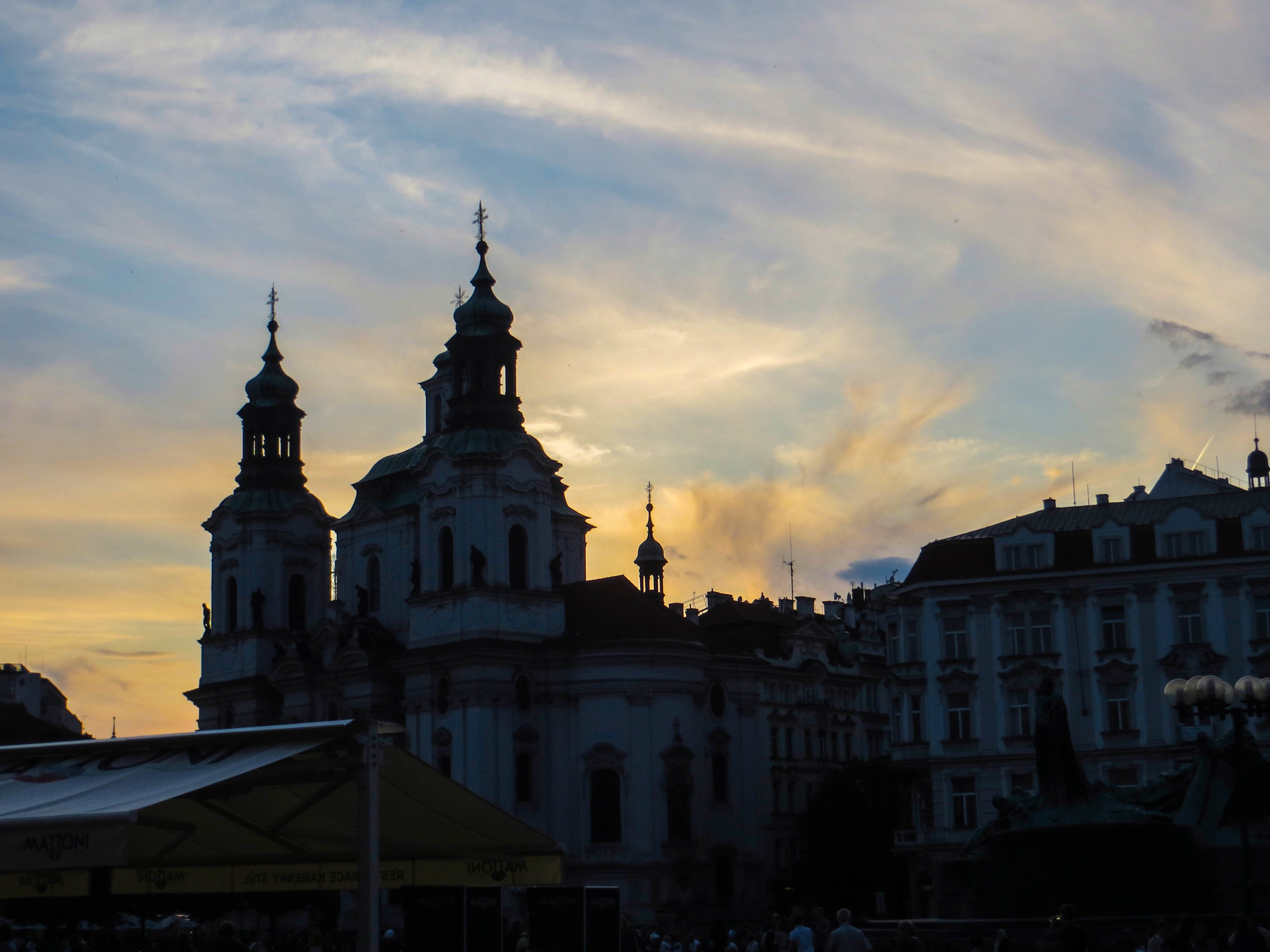
Prague is the historical capital of Bohemia. Through the last few hundred years, the boundaries in this part of Europe have been notoriously fluid. The map here has been redrawn quite a few times as Empires have risen and fallen, but Bohemia has always been a notable region with a strong cultural identity. Today, Bohemia is more or less synonymous with the Czech Republic (formerly part of Czechoslovakia, and recently renamed to simply “Czechia”). With 2.6 million people living in its metro area, it’s the 14th largest city in the European Union. However, what it lacks in size relative to other European capitals, it more than makes up for in clout. When it comes to history and culture, few cities pack a punch in quite the same way Prague does.

In July of 2012, a few friends and I were leaving Spain and embarking on what would be my first ever Euro-trip. In deciding where we wanted to go, I'd be lying if I told you that Amsterdam's famously progressive drug laws did not play a role in our decision to come to here. So our motives may not have been entirely academic, but once we arrived, I was enraptured. Amsterdam turned out to be one of the most beautiful cities that I had ever had the privilege of exploring. I’ve traveled a lot more today than I had back then, and Amsterdam is STILL one of the prettiest cities I’ve ever seen. We spent 5 days here, and in that time, I took more photographs than I had of any place I had visited prior.

So have you ever considered coming to Geneva? I’m betting the answer is no. Geneva isn’t a common stop-over in European travel, because it has a reputation for being super expensive and (tbh) kind of boring. It’s mostly a hub for international organizations like the WHO, WTO, Doctors Without Borders, and quite a few different UN offices. It’s also got a reputation for being home to a lot of “old money.” So this is a city that really does matter in the world… but might not be quite as relevant for your average traveler.
However, that doesn’t mean the city isn’t still gorgeous! Geneva is surrounded the Alps on all sides, and sits on the southernmost shores of Lake Geneva. It’s just a hop, skip, and a jump from some of the most beautiful terrain in the world, and the city itself is also very pretty.

Barcelona is the last Spanish city that is going to be covered in the #ThrowBackThursday series. I came here during my study abroad in 2012, during which I lived in 313 miles inland, in Madrid. Why did I choose to study abroad in Madrid? The short answer is that I didn’t. Madrid was, incredibly, the only study abroad option in the entire world that would count towards both my major and my minor. So if I wanted to go abroad, the choice was already made for me. But, in my mind, Barcelona was “the place to be” in Spain. Ideally, I would have lived in Barcelona.
When I finally arrived in Barcelona, it wasn’t quite what I was expecting…

Situated on the eastern coast of Spain, Valencia is the country's 3rd largest city, behind Madrid and Barcelona. There are roughly 800,000 people who live in Valencia proper and about 1.6 million that live in Valencia's metro area. It is also worth noting that Valencia's harbor is the busiest container port in the Mediterranean and the 5th busiest in Europe. That means that this is a city of economic importance. Stuff happens here.
Today, I’ll be telling you some of what happened to ME (and one very unlucky friend) while I was here.

When I made the move to Madrid in 2012, I hadn't done much research. Upon my arrival, I remember being very surprised at how green and lush the city was. This was not what I expected Spain to look like. I was expecting something a bit more arid, a bit more dry, a bit more brown-ish in color. I'm not sure where these preconceptions originally came from, but now I know that TOLEDO is what I expected Spain to look like. This was the image of Spain that I had in my head.

If you've been a reader for any amount of time, you probably know that I started this website when I moved to Hanoi, Vietnam to work as an English teacher. However, you might NOT know that Hanoi was actually the 2nd time I had lived internationally. The first time was my study abroad, during which I spent a semester living in Madrid, Spain.
This is the first installment of what is going to be a #ThrowBackThursday series. I'll be digging up some choice photos from my time in Europe, re-editing them, and sharing some thoughts and/or stories about each of the places I visited. So let's get to the good stuff!

Dude, I smell like shit."
"Thats okay... It's Milwaukee!"
I think that interaction was what I remembered most about Milwaukee prior coming back here in 2018. I don’t remember a lot of specifics from that trip, save for the realization that Milwaukee is actually a pretty cool place. So when I returned in the summer of 2018 for a wedding, I made a point to break off a bite-sized piece of the city and take a long walk with my camera.

It’s time for our last article on Asheville. We’ve covered some serious ground in this city, and have already had a few surprises, but to me, there were none more pleasant than the ones I’m about to share with you in this article. This is Asheville’s “Street Art” installment; a segment that I am becoming quite fond of. Not every city has a visual arts scene that will support these kinds of public works… but those that do, typically don’t look much like Asheville. I tend to associate street art with giant urban areas like New York, San Francisco, or Toronto.
But Asheville threw down the gauntlet!

Asheville, North Carolina has little trouble attracting visitors from across the country and abroad on its own. Literally smack-dab in the middle of America’s Great Smoky Mountains, this crunchy enclave is a Mecca for outdoorsmen (and women), beer-lovers, weekend warriors, and hippies from around the country. Indeed, this little Appalachian gem has become a destination in its own rite… but it’s still veiled in a level obscurity. So people are usually surprised to learn that Asheville ALSO happens to be the location of the largest private home in America.
Did you know that? This whole experience was sort of a shock to me!
Today, let me introduce you to the famous Biltmore Estate.

In the last article, we talked through a lot of the context surrounding the city of Asheville, North Carolina, as well as a few notable areas in and around the city. Today we’re going to get a bit more specific and highlight a few of my favorite Asheville establishments and landmarks.

Tucked away in almost the exact center of the Smoky Mountains, this city an artsy, crunchy, progressive safe-haven, full of art galleries, beer breweries, wilderness exploration outfitters, and organic grocery stores. It’s pretty much the dream! Many people who come here do so as a stop-over before excursions into Great Smoky Mountains National Park, but the city itself is becoming a destination in its own rite. Cue our visit.

In the last article, we went through a pretty typical Chattanooga sight-seeing itinerary, but I wanted to take some time to highlight another dimension of the city that actually feels much more defining of the time that I spent here. I’m talking about all the great bars, restaurants, and coffee shops that we visited while we were here. I can’t claim that they are necessarily the best or worst of Chattanooga—I didn’t stick around long enough to be making those sorts of assertions—but I CAN tell that each and every place I’m about to show you is really freaking cool.

With a population of just 179,139 (as of 2017), Chattanooga is the 4th largest city in the state of Tennessee, behind Nashville, Memphis, and Knoxville. It's just over a 2 hour drive southeast from Nashville, and is a relatively short commute to other major metropolitan areas such as Atlanta and Huntsville. The biggest sectors of Chattanooga’s economy are automotive manufacturing, shipping, and logistics, which are all quite industrial. However, this came as sort of a surprise to me given how quickly the “hipster” demographic is taking control of Chattanooga. This place is a serious contender to become Appalachia’s Brooklyn in 10 years, but it’s true identity is never really going to change.

Boston has a lot of cool history. Even if you don't feel like you know very much about Boston, you still probably already knew that. This was the city where the Revolutionary War started! The Boston Tea Party, Paul Revere's Midnight Ride, the Salem Witch Trials—the early history of the Boston area is rich with some of the most riveting stories that American history has to offer. And moving into the modern era, Boston still managed to be the site of some of America's most interesting historical sagas, from the Boston Strangler, to the Great Molasses Flood. However, to me, one story stands out above the rest, and it didn't happen all that long ago.
The story I'm talking about is the heist of the Isabella Stuart Gardener Museum, which happened in 1990.

Today, we're going focus in on a couple of my favorite pieces of Boston. The first is the famous Boston Public Library, and the second is the unusual measuring system that is painted onto the Mass Ave bridge. These have both been the source of some intrigue for me, and are academia-adjacent, so I’m combining them into the same article.

Today, Boston's North End is known as the Italian neighborhood. When people tell you that they're headed to the North End, it's a good bet that they're going to dinner, because this neighborhood is absolutely packed with incredible Italian restaurants and bakeries. However, the North End is famous for more than just its food. The history here is legendary.
In this article I’ll run through some old and some new from Boston’s North End, and then show you lots of beautiful pictures.

Are you a "glass half full" or a "glass half empty" kind of person?
I think that your opinion on Sicily will pretty much answer that question for you. I like to think of myself as somebody who is able to look on the bright side of things, and to me, Sicily was beautiful. However, it was definitely also quite gritty. Today, we’re going to take a deep dive into all that garbage and graffiti and browse though some of my favorite examples of Sicilian street art.

Seriously, nothing can prepare you for how creepy this place is... but I'm getting ahead of myself.
I'll start from the beginning. The Capuchin Catacombs are always placed highly on people's lists of things to do and see in Palermo, and it's easy to see why. It's just SO outrageous! Before we dive into this article, I've got some serious explaining to do, because you are sure to have questions. I know that for me, the biggest question I had in all of this was just "why." Why does this place exist?
Buckle in, kids!

In the last article, we covered a lot of ground. I was a little out of breath by the time I finished writing it! But Palermo deserves to have some serious time spent, just taking it in, exploring. So now that you've been brought fully up to speed on the many historic layers of this city, I want to take a deep dive with you and just get out on the streets of Palermo.
Are you ready for a big dose of Sicily’s capital city?

Prior to actually coming here, I had heard mostly negative reviews of Palermo. After traveling through the rest of Italy, people love to dish about how dirty Palermo is. And Bourdain's episode on Sicily painted Palermo with similarly discouraging colors. People also brought up the Mafia a lot when discussing Palermo, alluding to connections between the systemic corruption of government and the poor up-keep of the streets. A few weeks out, I was sort of expecting Palermo to be a dump, but then I had an Italian friend rave about how much she loves this city, describing it as 'decaying and decadent.' This put my expectations on par with Havana, Cuba, and that made me really excited!

I should start by telling you that Gangi (pronounced "gan-chee") isn't *technically* a ghost town. It's actually trying REALLY hard not to be. In an effort to revitalize this town, the mayor of Gangi decided to start selling the vacant houses to outside investors for €1.00 a piece. This insane bargain comes with 1 string attached: that you will spend no less than 35,000 EUR (43,212-ish USD) to fix up the house within 5 years. Yes, this is 100% true, and if you want to, you really could buy one of these houses right now. Mull it over as you read this article.

Just south of Messina, this gorgeous Sicilian town sits on the edge of a mountain, looking out over the Ionian Sea towards Calabria. It's population is just over 11,000, but it gets vastly more tourists every month. Indeed, Taormina has been a fashionable travel destination for a few hundred years now. Yes, you read that right—we're talking centuries of tourism here.

Just 2 hours south from Catania, down the eastern coast of Sicily, sits a the city of Siracusa (a.k.a. Syracuse). You may recognize this name from history books about the very distant past. Syracuse makes appearances in tales and legends that stemmed from a great many famous Empires over the course of Mediterranean history, most notably the Greeks, Romans, and Byzantines. Oh, and it makes a cameo appearance in the Bible. It was described by early Roman officials as "the greatest Greek city and the most beautiful of them all."
Suffice to say, this place has some serious history behind it. Are you ready to see what’s going on in 2018?

If you want to come here, it's very important that you know that this happens exactly at sunrise. If you really want to catch this place in action, it's best to get there before 7:00am. The first time I attempted to come here, I slept in and showed up at 7:45-ish, and it was mostly over. I got some decent pictures, but it was clear that things were winding down. It was frustrating. The next day I set my alarm for the TRUE butt-crack of dawn, and got here before the sun rose.

Catania is the second largest city in Sicily. The population of Catania proper is about 320,000, but there are a combined 1.1 million people who live in the metro area. In Italy overall, Catania is the 10th biggest city, and the 7th largest metro area. This is a major population center for Sicily, second only to Palermo, which will be our last stop on this trip. Catania is not the most well-known place, but it's definitely not small either. It's actually really big, especially by Sicilian standards. But Catania's burgeoning population should be surprising. This isn't exactly prime real estate.
Why? Because of Mount Etna.

First of all, it's pronounced "mar-sa-chlok." There are about 3,500 people that live in Marsaxlokk and they are called the Xlukkajri (sorry, no idea how to pronounce that one). Though it might look like vacation paradise (and it totally is) Marsaxlokk is also a real town. The waterfront is the most iconic area of this town but turn off of Xatt is-Sajjieda down any side street and you will be quickly find yourself in everyday Malta. Similar to Valletta, the buildings are all a sandy color of beige, giving the impression that you are walking through an entire city of sandcastles. It's pretty picturesque.

Mdina (pronounced "um-dee-nuh") sits on a plateau, which has been inhabited since the Bronze age. Because the area was easily defensible, it has been occupied more or less continuously since Prehistory. However, the city as we know it today did not take shape until the 8th century B.C.E., when the island was colonized by the Phoenician Empire.
But before we get into any of that, let’s try some Maltese Pastizzi!

I think that most people who visit Malta arrive suffering from an information deficit, because one of the first tourist attractions any local will tell you to see is a 45 minute movie explaining things. Indeed, at first glance, the Maltese capital city, Valletta, will leave you incredulous. I think that everybody who lives there knows that it requires some explanation. All that I kept thinking when I first arrived was "How did this place come to be and how do I know so little about it?" Well the movie answers those questions, and more. But for now, you'll just have to hear it from me!

Tunisia was going to be my second country in Africa, so I was excited to at least get a taste for it. We didn't have much time here, but we would still be able to see a decent chunk of Tunis. The flight here from Algiers was short but green and scenic as we made our way horizontally across the top of Africa. And as our plane made its final decent over northern Tunisia, I was excited. Here are a few pictures I snapped out the window. Drink 'em in, because everything went to shit from here.

To finish this series on Algeria, we're going to dive headfirst into the legendary Casbah of Algiers. This is the oldest neighborhood in Algiers, and many locals would also say that it's the most dangerous. In fact, the vast majority of locals that we asked about it told us that they themselves would not walk through this neighborhood alone. Yikes!
Now, if you've been following this series on Algiers/Algeria, you know that I've been preaching about how unexpectedly safe Algiers turned out to be. So it might seem odd that I'm now telling you about a place that is supposedly so dangerous. Well let me kick this off with a spoiler for you: the Casbah isn't so bad.

Today we're going to be doing a double-header: Cherchell and Tipaza. These places are not quite on the level of Timgad, but they are still going to be interesting and gorgeous. So buckle in kids! It's time to drive out into rural Algeria for some adventuring!
So, if you've been following this series on Algeria, you know that I was traveling with my mother. One little-known fact about my mom is that she's secretly a bad-ass and had actually lived in Algeria briefly in 1980. So this was a long-awaited return trip for her. During that time, although she did spend some time in Oran and Algiers, the majority of her stay was spent in a tiny town called Cherchell (pronounced "share-shell")...

In the previous article, I spent significant time gushing about how much I loved this city but I also talked a lot about the geopolitical isolation of this place. Most people even can't place Algeria on a map, and I want to change that.
But what if you decide you want to come here? What the hell are you going to do while you're here? What does "sightseeing" look like in Algiers?
That's what we'll be discussing today!

At a glance, much of Algiers is almost a mirror image of its former colonizer, France, which sits just across the Mediterranean. Visually, it is defined by Parisian-style buildings, almost all of which are colored white. However, in spite of its surreal visual similarities with France, it only takes about 10 seconds of walking the streets of Algiers to realize that it is a world all its own.
I’m going to tell you this up front: I LOVE this city.

If you're an American interested in visiting Algeria, first of all, that's really cool! Not a lot of Westerners come here, but the Algerian government isn't exactly making things easy. In this article, we'll walk through exactly how Americans can go about obtaining a tourist visa for Algeria. It's a little complicated, but if I can do it, so can you!

We arrived at the foot of Via della Conciliazione in later afternoon. The sky was gray, and the air held a cold moisture. We followed the masses of people up the road towards the giant stone gates. On either side of these gates, giant Roman columns stretched off endlessly. These marked the border between Italy and Vatican City. Perched on either side of the entrance were Italian military outposts manned by heavily armed but very bored-looking soldiers.
Crossing into Piazza San Pietro, though an international boundary, was decidedly anti-climactic. However, what we found on the other side of this plaza blew us away.

It was a long and unfortunate series of circumstances that delayed our flight from New York to Algiers for 2 full days, but they say that when God closes a door, he opens a window. And for us, this window came in the form of a extremely long layover in Rome. This would give us just enough time to sneak out of the airport to go into the city, so that's exactly what we did.
Even if you know Rome only by reputation, you can probably guess that it's far too big a city to see in a single day, so we decided to break off a single bite-sized piece: a neighborhood called Trastevere.

Travel plans! This time we'll be exploring Sicily, as well as the North African nations of Algeria and Tunisa. We will also be stopping through one other mystery Mediterranean location, which will be revealed shortly. In the coming articles, you can expect to hear about cities like Algiers, Tunis, Catania, Syracuse, and Palermo, among others.
LET'S DO THIS!

Madison is the second largest city in the state of Wisconsin, behind Milwaukee. Although it has a population of about 253,000, its metropolitan area is closer to half a million. It's also the capital city of Wisconsin and the home of the University of Wisconsin's main campus. UW is actually a massive university, so it is absolutely defining to the topography of this city—Madison is largely a college town. However, there's quite a bit more going on here than just Badgers games.

In Boston, things move fast. The city is lively, dynamic, and ever-changing. However, there are some pieces of the Bostonian puzzle that are quintessential, and eternal. No matter what's going on around them, somehow, they never seem to change.
Today I'm going to single out a couple of those places: Bay Bay and Beacon Hill.
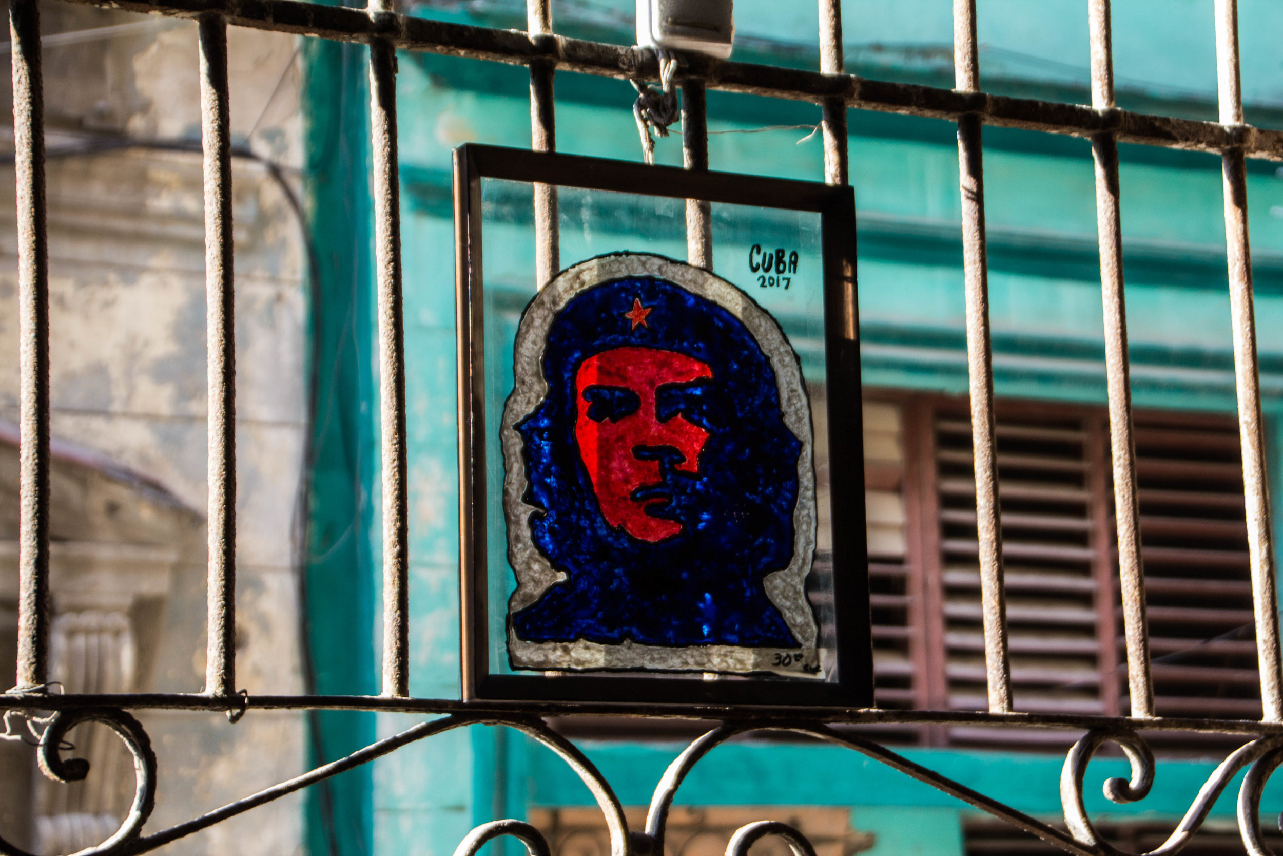
The time has finally come. It's time to talk politics. But before that, I'm going to take 2 minutes to make sure that everybody is up to speed on the Cuban Revolution.
The Cuban Revolution was one of the most unlikely success stories in modern history. Although fighting had been going on intermittently since 1953, it wasn't until 1956 that Fidel Castro (you've heard of him, right?) and 80 of his fellow rebels sailed a small yacht called the Granma from Veracruz, Mexico, back to their home country of Cuba...

Something like 90% of all tobacco in Cuba comes from the Pinar del Río province, and Viñales is the cultural center of this province. That means that, if you have ever had the pleasure of smoking a Cuban cigar, this is (probably) where it came from. But Viñales has a lot more to offer than just agriculture; it's also a UNESCO World Heritage site, as well as a national park in Cuba.

Matanzas is a small sea-side city that sits 56 miles (or 90 kilometers) east of Havana, on Cuba's northern coast. It's located in the Bay of Matanzas and is the capital of a province that is also called Matanzas, and it was definitely one of my favorite places in Cuba.
We arrived in Matanzas via camione, and then our adventure began...
Spoiler alert: this was one of my favorite places that we visited during our time in Cuba.

It was the culture and the politics that originally drew me to Cuba, but that didn't mean there was no time for relaxation. If you've already read Peter's Guide To Traveling To Cuba As An American, you know that relaxation is not *technically* even allowed for Americans in Cuba... but we're punk rockers and we broke the rules. Cuba has some of the Caribbean's most pristine beaches, so we decided to take a couple days to enjoy them.

A unique set of geo-political circumstances dating back more than half a millennium have made Havana, Cuba into one of the most unique cities on this planet. To fully understand Havana as it is today, you'll need to brush up on your history, but the most recent development is that U.S. and Cuba have taken meaningful steps towards deescalation. And as of August 2016, Americans like me can legally visit Cuba—so that's exactly what I did. And one of the first things I learned is that internet is tough to find in Havana. That means that you won't be able to re-read this article once you land, so you might want to take some notes. ✍️

Landing in Havana was, in some ways, surreal for me. This city had been cloaked political taboo for so long that it occupied a mostly theoretical space in my mind. Seeing rural Cuba fly by as we made our landing in Jose Martí Airport removed this cloak quickly and unceremoniously. Despite all the build-up this trip had had, all I could think about was how surreal it was to finally be in this country.
“Cuba. Here it is. It’s real. And I’m in it.”

After decades of harsh political rhetoric, assassination attempts, international crises, violent incidents, and economic sanctions, the American and Cuban governments have taken the first step towards making nice. The first direct international flight from the U.S. to Cuba touched down in August of 2016 so, for Americans, Cuba is now open for business!
Er, well, sort of.

I've been itching to travel here for too long, and now that America has normalized relations with this little Latin American jewel, I don't have much time left. Things in Cuba are going to change as American tourist dollars begin flowing in. I'm hoping to catch a glimpse of the old Cuba, or whatever is left of it, before the age of globalization is fully realized. In America, talking about travel to Cuba often garners some raised eyebrows. Cuba and America haven't gotten along very well in the past 60 years, and that's putting it mildly. Cuba has long been considered a mortal enemy of the U.S., but aside from a few bullet points about the Cuban Missile Crisis and the Bay of Pigs, how much do you ACTUALLY know about the history here? Be honest.

And so the saga continues of my much-anticipated trip to San Francisco. I was tired, but this city was so compelling to me that I found the energy to walk all over it. With a couch in the Marina District as my home base, I walked (and Uber'd) all over town, from Russian Hill to the Mission District. San Francisco unfolded before me like a unending yuppie playground. It was diverse, beautiful, and hilly.

Prior to my arrival, I had no concept of how huge this place was going to be! San Francisco is deceivingly large because it’s hilly to the point that if you stand at the top of the right hill (and find the right angle) you can get the Golden Gate Bridge, Alcatraz, and the city all in the same shot. Seeing my friends post these sorts of photos had, throughout the years, given me the false impression that San Francisco was a small place. Adding to this fallacy was San Francisco’s position at the end of a long peninsula, which can make it look pretty small on the map. Well let’s set the record straight right now: San Francisco is anything but small.

Nashville has a vibrant coffee shop scene. All across the city, these coffee shops are oases, filled with entrepreneurs, musicians, students, and more. And between Nashville’s many small, office-less companies, budding start-ups, and already-huge-but-still-rapidly-growing community of musicians, many of these coffee shops function as co-working spaces during business hours. Coffee in Nashville is a world unto itself, and if you ask me, the following 18 establishments embody the best of that world.

From the craggily, black mountains, to the mossy green volcano-scapes, to the endless stretches of artic desert, to some of the world’s last glaciers, Iceland is the stuff of legends. And, as it turns out, Iceland has quite enough legends to go around!
Before leaving for this trip, a friend of mine, who had recently returned from her own journey to Iceland, loaned me a book called A Traveller’s Guide To Icelandic Folk Tales by Jón R. Hjálmarsson. Now that I’ve lived to tell the tale, I want to share with you some of the more compelling tales that (supposedly) occurred in the places that I visited on my trip.

It’s been a long trip through Iceland. We hiked up volcanoes, crossed glacial rivers, and drove hundreds of miles in the process, but there is still one dimension of Iceland that I have yet to cover: food. I ate a lot during this trip, and whenever possible, I tried to incorporate something "authentically Icelandic" into my meal.
The following five foods were the outliers from my time in Iceland, but I'd be lying if I said they all tasted good. In fact, it was mostly the opposite.

Driving down from the Westfjords to the long peninsula known as West Iceland, we made an abrupt exit from the rugged tundra that had dwarfed us for the past few days, and entered a flat area of limbo between the 2 regions. Passing through these rolling green fields, both land formations (West Iceland and the Westfjords) were clearly visible. They stretched eastward for miles upon miles out into the chilly ocean wind. There have been very few times when I have felt as connected to and as aware of my geographical position as I did during this time spent driving through the ‘in between.’

Of all the amazing pieces of civilization subsisting out here in the Westfjords, none sparked my interest like these tiny Icelandic churches. These little structures were often the only sign of human life for miles in any direction. Each time we caught a glimpse of the small pointy steeple from our place on the road, we would come to a screeching halt and dive off down the nearest dirt road to explore. No two of these churches were the same. Each was completely unique, and a few of them had even been left unlocked!

This quest brought us to the edge of the world, literally, to the bone-chillingly massive cliffs of Látrabjarg. Here’s a spoiler alert for you: it was mind-blowingly gorgeous. A friend of mine recently pointed out that I’ve said similar things about a great many of the places I have visited, so let me up the ante a bit: this was one of the top 5 most beautiful places I’ve seen, EVER.

Ísafjörður [ees – ah – fyur – thur] is the capital of the Westfjords, which are a remote Icelandic province in the far northeastern reaches of the country. It translates to something like “Ice Fjord,” which is pretty fitting, and a shining example of Iceland's love for hyper-literal names. Today we’ll begin by talking about the Westfjords as a whole, but first, some clerical housekeeping…

The Westfjords (or, in Icelandic, Vestfirðir), is the name given to the enormous peninsula jutting out from Iceland to the northwest, towards Greenland. In these fjords are some of the most remote places and unforgiving terrain that Iceland has to offer. Only Iceland's interior is more difficult to travel through. After having driven the long road through Sprengisandur, I can personally attest to this. The views we saw from these roads in the Westfjords were absolutely stunning—beautiful enough that I felt that they merited their own article, so here is some of what we saw...

Though it’s population is less than 19,000, Akureyri [ah – kur – rare - ee] is actually Iceland’s second largest city behind Reykjavík, and the capital of North Iceland. The first mention of Akureyri in historical records came in 1562 when a woman was sentenced to death for adultery. Soo… not off to a great start.
It's a really cool town today though!

When you think about Iceland, what do you think about? Probably green mountains and a beautiful, rugged coastline, right?
Well that's just one piece of the geothermal puzzle that is Iceland. Iceland's interior is a very different place. It's a vast, inhospitable, volcanic desert. And in this enormous highland desert, conditions are punishing, and water is scarce (unless it's in the form of a glacier).
It's basically Mordor.

For all its natural beauty, Iceland doesn't always have the best weather. In fact, oftentimes the weather is downright foul. Sure, Iceland's rugged landscapes are the stuff of legends, but that is of little consequence in urban Reykjavík. In its epicenter, Reykjavík has many beautiful areas, but the further away from the city center you travel, the more those beautiful areas will give way to cold, grey, soviet-esque suburbia. It can feel pretty lonely out there, but even in these bleak spaces, Reykjavík still found ways to surprise me. In the ugly, in-between spaces, in Reykjavík's less-visited nooks and crannies, I began to stumble upon gorgeous works of art. A mysterious street art scavenger hunt unfolded before me as I dove down every back alley I saw in search of more.

Reykjavík is quickly becoming an "it" drinking and nightlife destination. This is your guide and 10-Bar Sampler of Reykjavík's nightlife. Whether you've got a long layover, or are visiting Reykjavík in earnest, this should provide you with the direction and social lubricant you need to have an awesome time.

Reykjavík is a relatively small city, but it’s reputation is a lot bigger, and it’s growing quickly. In this article we'll explore some of this city's major tourist attractions. If you're going to be in Reykjavík, this could serve as a good 'to-do' list.

It's been a little while since I left the States (except for that quick trip to Canada) but now it's time for me to hit the road again. This time I'll be heading northward to Iceland, via Boston. My brother is currently a resident of Reykjavik, so I'll have a local (or close enough) to give me the inside scoop. I'll be relying on his local expertise to provide you with a city guide or two. However, we plan on doing a lot more than just hanging around in the city.

It might surprise you, but Nashville is actually a total foodie town... randomly. This guide will take you through 21 of Nashville's best and coolest restaurants. Take some notes so the next time you need to go out to dinner in Nashville, you've got some options at your disposal.

This is the all-you-need-to-know guide to Nashville's indie side, including all the best bars/venues/music. We're even building out a section for Nashville's frequent but elusive secret shows. And you won't see a single cowboy hat! Probably.

Toronto took me by surprise in a lot of ways, and one of the most compelling things about this city was the art. Yes, Toronto is home to a few famous art museums, but you don’t have to buy any expensive museum tickets to get a glimpse into Toronto’s art scene. There’s another side to that coin that costs a hot $0.00 to see.

Fun Peter-fact: I went on a class trip to Toronto when I was in 8th grade. Aside from being in an elevator that dropped 3 stories (before it caught itself) because the fat kid in my class wouldn’t stop jumping up and down, I don’t remember much about Toronto other than the bone-chilling cold. But now I’m going to return for Toronto Round 2.
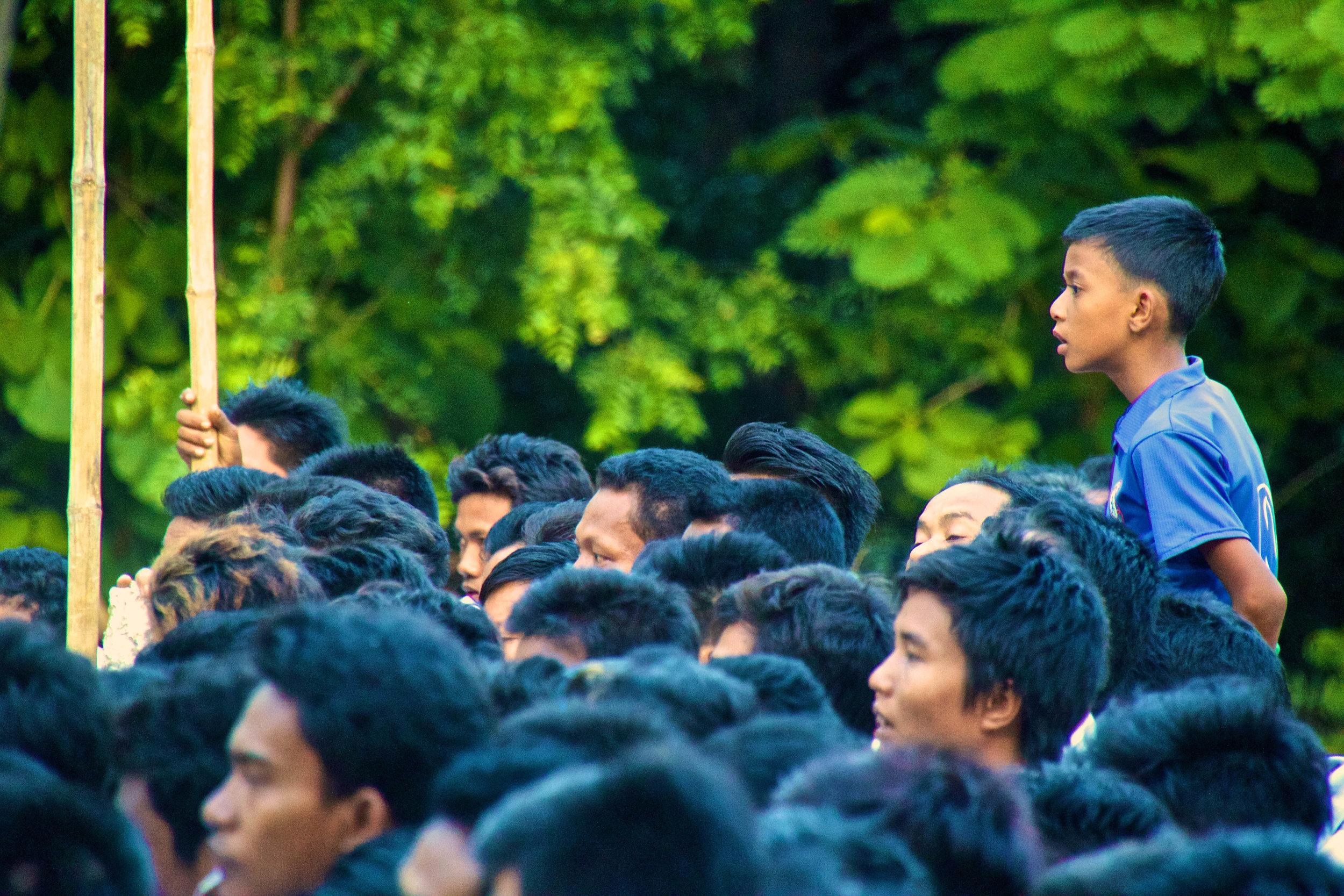
My experiences abroad forced me to confront unfamiliar things in a way that drastically fast-forwarded my personal growth. And as much as I hate articles like this one, I figured that it might be prudent to crystallize a few pieces of this wisdom I’ve gained and share them with you, for whatever they're worth. So what are my big takeaways after all this time?

This is Part 2 of my time sneaking around Venice, seeing everything this amazing city has to offer, and spending as little money as possible in the process. Here we'll go through extensive photo galleries, which stretch well into night time on the canals, as well as meet the infamous Plague Doctor.

With it's legendary boats and canals, few other destinations possess the same fabled mystique as this fairy-tale city. Once a powerful autonomous kingdom in its own rite, Venice is composed of 118 small islands off the coast of Northeastern Italy. Before Venice was ~*Venice*~, these islands were nothing but swampy lagoons. These lagoons are thought to have been settled by Roman refugees who were fleeing invasions of the Germanic and Hun empires. There is no surviving historical record to give us any insight into Venice's formal founding, but some ancient Roman documents place these refugee fishermen here as early as the 1st century A.D. According to tradition though, the first church of Venice was officially established in 421 A.D., so that is the historically accepted year of Venice's founding.

I arrived in Italy pretty directionless, so their vivid descriptions of discovering beautiful seaside towns along the Italian Riviera that were completely void of tourists were enough to sell me. Of course, that was the 1980s, and today it isn't quite the same, but Cinque Terre is still incredible.
Buckle in.

With places like Florence and Rome literally at my fingertips, it might be considered an odd move to choose to visit Genoa instead. Genoa had always fascinated me though. Nobody ever talks about it, but, if Google Images was to be believed, it's a gorgeous seaside city! Let's check it out...

The World Expo, or World’s Fair, is kind of like the Olympics for culture and development. It happens every 2 or 3 years, each time in a different city. The first World Expo was held in London in 1851, and since then it has been hosted be cities all over the world from Japan, to Brazil, to the good ole’ U.S.A. The next one is scheduled to be held in Astana, Kazakhstan in 2017. After that will be Dubai, U.A.E. in 2020. Every Expo has a different theme showcasing a different cultural facet or scientific frontier. The Milan Expo was about food, and I did not hate it. I actually can't think of anything I'd rather it have been about.
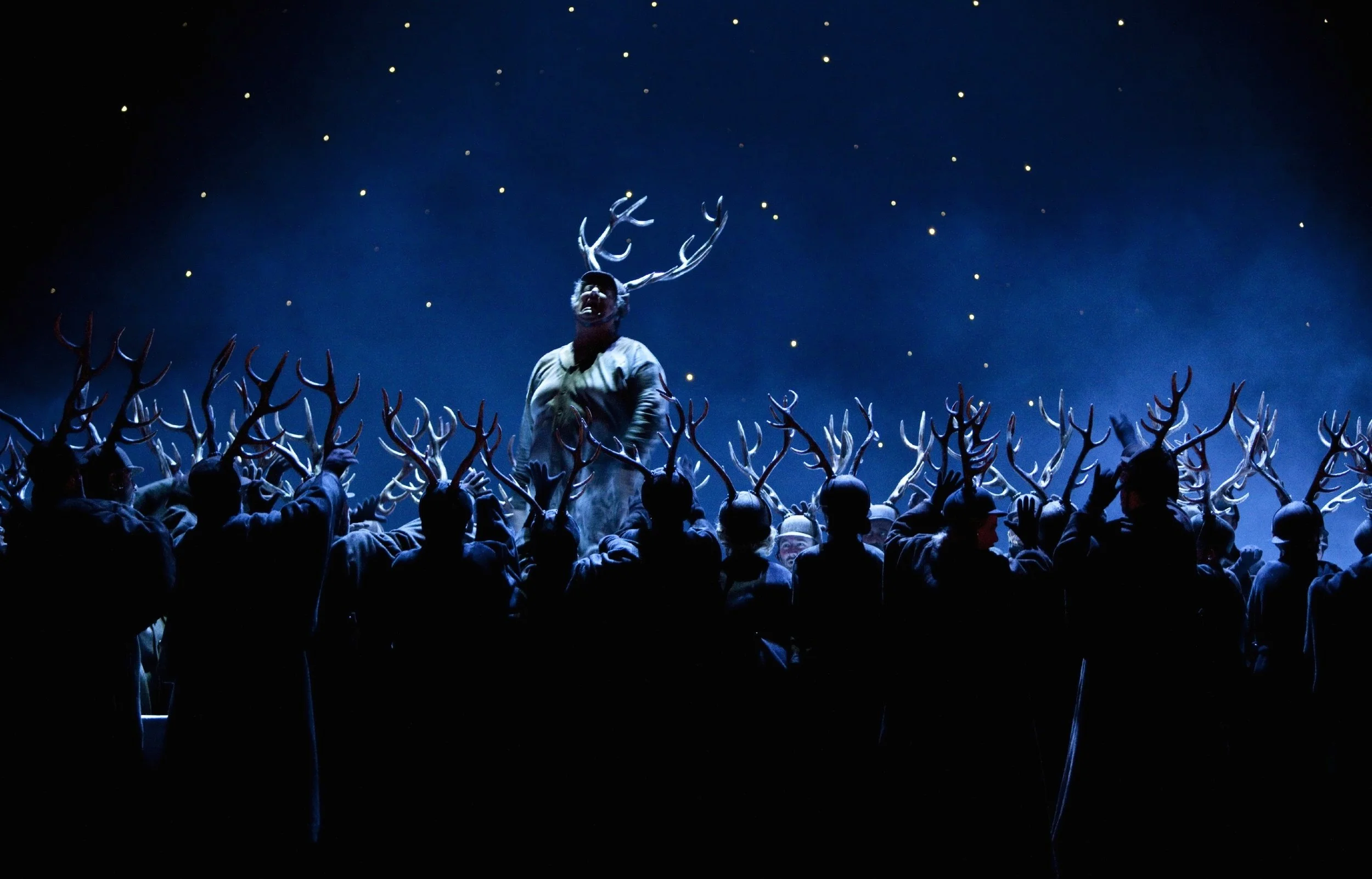
I flew into the airport of a city called Bergamo. From there, despite having the passport stamps to prove that I had been to hell and back, I breezed through customs. I changed my money and took a bus into Milan called Terra Vision. The bus took about 1 hour to reach Milan’s Stazione Centrale (Central Station) and cost 5.00 EUR (5.32 USD).

Turkish Millennials. This is a demographic that I really admire. They are living through a turbulent time in history. On October 10th of this year 2 bombs exploded in Turkey’s capital, Ankara, killing 102 and injuring another 400. Even though Turkey sits just on the precipice of the West, so close yet so far from getting the same kind of international attention that Paris does for these sorts of tragedies, this event was nothing more than a blip on the radar of western media. Alas, we watch this sort of bloodshed happen in the Muslim world and complacently think “well… I guess that’s just how it is over there.” I’m guilty of thinking like this as much as any of us. But you know who doesn’t think this way? Young people in Turkey.


Istanbul, formerly Constantinople, formerly Byzantium, is arguably one of the most historically important cities in the world. As such, it is a city with some serious history, to say the least. Over the course of the last 2 millennia, Istanbul served as the capital city for the Byzantine, Latin, Roman, and Ottoman Empires. Indeed, the city has always been of extreme strategic importance for the politics of the region. It has been a major hub of the ancient Silk Road, Eurasian rail networks, and sea trade between the Mediterranean and Black Seas.
It should come as no surprise then that Istanbul is also one of the largest cities in the world. Istanbul’s metro area houses about 14 million people, making it one of the world’s most populous cities. Istanbul proper ranks 5th in the world and 1st in Europe, although the jury is still out on weather or not Istanbul really is part of Europe at all.

I would be so racist against Indian people by now if I hadn’t taken so many trains. In a place like India, my white skin makes me a huge target because of my perceived level of wealth. As such, most of the interactions I have with locals are about money, and the unfortunate majority of them are not positive. Traveling through this kind of environment, it's easy to get cynical. My saving grace throughout my whole time in India was my time on the trains.
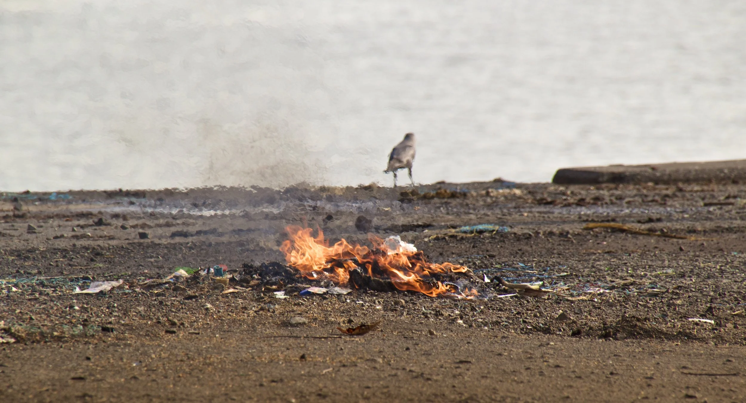
In Asian markets, there is always a huge diversity of marine life packed in ice, frozen in suspended animation, or floundering/wriggling/writhing, being kept alive in 2 inches of water. Some of these specimens are small, but others are freaking sea monsters! It looks like the cast list for one of National Geographic's "deep sea" segments all got caught in the same net. You’ll find the same smorgasbord of marine animals in cities inland as you will in coastal ones, and whenever I bear witness to it, I always find myself wondering the same thing: how did these fish get here? You'd never see fish like that in American supermarkets, so I’ve always been curious. In Mumbai, I finally got the chance to see some of the supply chain, and it did not disappoint.

Mumbai's Kamathipura is the oldest red-light district on the Indian subcontinent, and is the 2nd largest on the entire continent of Asia. The 1st largest is Calcutta, which is something that I didn’t realize when I was actually there. If I had we probably would have paid it a visit, like we're about to do in Mumbai.

My last stop in India: Mumbai Mumbai was actually called Bombay up until 1995, when the government changed the name. Similar to the name change from Calcutta to Kolkata, the Indian government felt that Bombay was representative of lingering British colonial influence. "Mumbai" is apparently the more authentically Indian pronunciation, so they made it official. If you ask me, India needs to cool it with all the name changes.
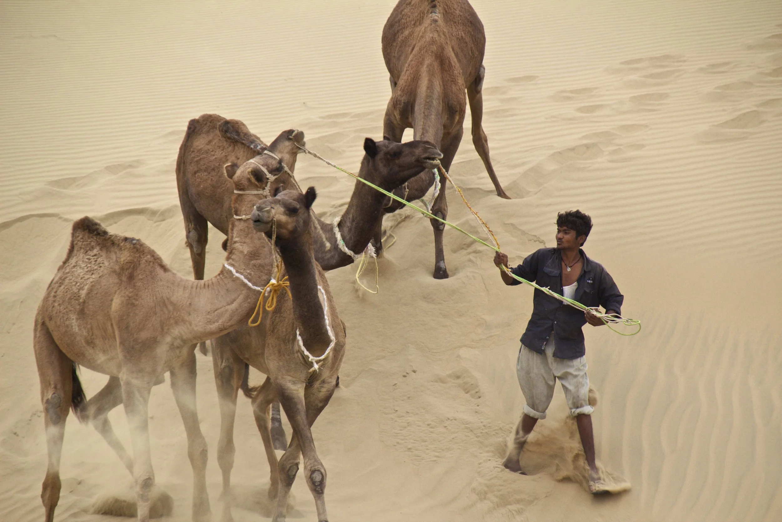
After a day's train ride out towards the West Indian border from Jodhpur, I arrived in Jaisalmer. From Jaisalmer, I hired a jeep to take me farther out into the nothingness of the Thar Desert, stopping through an old Rajasthani ghost town on the way. The last article left off where the road ended. We had been on rough, gravel roads for hours at this point, so we were on the actual edge of India. From here there would be nothing but sand and shrubs until Pakistan. So where were we...

From Jodhpur I hopped onto an over-night train bound for the desert outpost Jaisalmer. Jaisalmer is the last substantial piece of civilization before the Thar Desert (also called the Great Indian Desert). This desert forms a natural boundary between India and Pakistan. Beyond Jaisalmer is nothing but shrubs, dunes, and nomadic goat herders until the border.

This was a highly anticipated destination for me. A long, long time ago, in my suburban, Midwestern, teenage angst, amidst my endless internet searches for all the far away places I would go one day (and boobs), I came across the work of a photographer named Steve McCurry. He had taken the most amazing photographs of places I had never even heard of, one of them being a city that was painted entirely blue, in some far off land. I was enthralled as I clicked through the pictures of children running down the distinct, baby blue alleyways. I don’t remember ever bothering to see exactly where the photos had been taken, as the practicalities of actually getting to places like this had no application for the younger me, who was trapped. The older me however, made a point to dig these photos back up, and figure out how to get himself there.

Welcome to Rajasthan! Land of those awesome, stereotypical, curly mustaches that Indians have. I have been looking forward to coming to this province of India for a while now. So let’s get started. My first stop in Rajasthan was a city called Pushkar. The jumping off point for this little gem is a city called Ajmer.

If that title doesn’t get you excited, then I don’t know what will! I’m not going to sugar coat it though – New Delhi sucks. This is not going to be as interesting as some of the last few posts, regretfully. But even so, let me fill you in on what this city is all about. New Delhi is the capital of India, as well as the nation's largest city. Almost 22 million people call its metropolitan area home, ranking it as the 5th largest city in the world, and the 1st largest city I've visited so far.

Roaming Nubra Valley are Bactrian camels. When I found this out, I immediately found myself wondering how the hell they got all the way up there. As it turns out, these camels’ ancestors were left over from the legendary Silk Road, which passed through the Nubra Valley on its way to the Orient.

It was another 20 or 30 minutes through the canyon before we finally saw Turtuk off in the distance. As we approached, the canyon grew wider ahead of us, and we saw a small collection of trees. It wasn't long before we were in the middle of those trees, and I was taken completely by surprise by what we found. Tucked away in such a remote part of the Himalayas, Turtuk was like a lot like Shangri-La. Despite its harsh, rugged surroundings, this village was a little slice of heaven.

At 18,380 feet (or 5,602 meters) above sea level, Khardungla Pass is the highest motorable road in the world. To put altitude in perspective for you, that's almost 13 times the height of the Empire State Building. It's a little less than the length of 115 (American) Football fields. It is the equivalent to about 3.5 miles. It is also 780 feet higher than Everest Base Camp.
So let's get into it!

If anybody remembers my “travel plans” post about India, one of the big things that I wanted to do was to get to a place called the Spiti Valley in India’s Northern Himalayas. The Spiti Valley would have been cool, but it was just an idea; in reality I just wanted to see the Himalayas, in some way, shape, or form.
Life happened, and I ended up in Leh.

Varanasi is known as the holy city. It is said that all the Hindu Gods live here. After finding enlightenment under the Bodhi Tree, Buddha came here to do his first teaching. There is also a sizeable Muslim community here. The city is therefore packed with religious landmarks and temples.

First, on a clerical note, Calcutta was renamed, or, more accurately, respelled, officially in 2001. Spelling it as "Kolkata" is apparently more phonetically accurate to the Bengali pronunciation, whereas the "Calcutta" spelling was a viewed as a remnant of British colonialism. I'll be using the "Calcutta" spelling just because it's more widely recognized by Westerners... I think.

For this, we'll need to rewind a few months and go back to when I was still kickin' it in Hanoi... After getting my visa into Burma, it was time for me to apply for my visa into India. Living in Hanoi is great because, being a capital city, every country in the world has (or, had) an embassy right next to my house. I could have applied for the E-Visa, but I like to do things in person if I can.

Now let’s back it up a little ways. When I first arrived in Dhaka, the customs agent asked me how long I planned on staying in Bangladesh. This is where all my problems started. Take this as a learning experience, should you ever visit Bangladesh.

I'm going to kick this post off with some history, and work my way up to the problem I almost had with the Bangladeshi police. It's going to be heavy on writing and light on pictures, so if that's okay with you, let's get started.

Normally I’m not a fan of volunteer tourism. I don’t think it does much good beyond making the volunteer feel like a charitable person. But when I was planning my trip to Dhaka, I knew that it was going to be really hard to have an enriching or positive interaction with Bangladesh if I didn’t find some sort of something to plug in with.
What I found was JAAGO.

Waking up in Dhaka I hear the ringing of bells on rickshaws, people yelling, and dogs barking. I am staying on the 9th floor of an office building that rises high over the slums on Dhaka’s southwestern outskirts. I look out the window, and I can see a rainstorm blowing in from the south. The Muslim call to prayer eerily wafts over the half-finished buildings all around me from the local mosques.

Yes, Dhaka has consistently been ranked as the #1 most “unlivable” city in the world by publications like The Telegraph, Business Insider & etc. It is mostly competing with Harare, Zimbabwe for that title. I’ve been here for a little while now, and I can 100% understand why. Thanks to overcrowding, traffic, and muddy rivers running through the streets, it takes 3 hours to get from one side of the city to the other on a normal day. The commute is stressful, deafeningly loud, and always wet, due either to sweat or torrential rain. Kind of makes you just want to never leave home, if possible.
But let’s just start from the beginning.

This article is a brief guide to Rangoon's nightlife, as well as a final photo-log to this interesting city! And it's been moved! This article has become a city guide in it's own rite, so when you click on this article, you'll be prompted to visit this guide in its new location.
(It's better this way, I promise)

It was time to leave the Shan State, but before I did, I wanted to get off the beaten path a little bit. For 40 USD, a few new friends and I hired a truck to take us deeper into the Shan State than ever before to a temple complex called Kakku.

The canals looked like a low-key, Burmese Venice in the beginning, but as we got further out towards the actual lake, the building faded away quickly, giving way to miles and miles green grass, and scattered huts. Every once in a while I would see some construction vehicles working, and wondered how in the world they had even gotten that far out there in the first place.

Since Burma's history isn't exactly common knowledge, let's start by filling in some of your knowledge gaps. The first question is a simple one: what is Mingun Pagoda?
Fair question. It’s not quite on the level of the Great Wall or the Pyramids, so most people have probably never heard of it.

I was picked up at 4:00am and driven to a little white van in Old Bagan with the words ‘OK Express’ printed onto the back windows. Sufice to say there was no sleeping that happened on that bus. We took dirt roads for 6 hours from Bagan to Mandalay. At one point I’m pretty sure we drove through a dried up riverbed.

Bagan is a pretty picturesque place, but for me, these 9th century Buddhist ruins, cool as there were, were only part of the story. The people of Bagan were also awesome to interact with, which is sort of a rarity for a traveler. If we’re being honest here, most local people who talk to you when you’re traveling are trying to sell you something. It’s pretty rare to travel in the developing world and have somebody talk to you with no ulterior motive. You have to get pretty far off the beaten path for that. That is what makes Burma so great.

Bagan is an enormous temple complex, not unlike Angkor in Cambodia, about 430 miles north of Rangoon (Yangon). Unlike Angkor however, Bagan is still relatively unknown to tourists. Imagine going to Angkor 50 years ago, before backpacking became a thing. That is Bagan. Unlike Angkor Wat, there are no guards or signs. Literally the only rule is to take your shoes off before entering a temple. That is the Buddhist custom.

When I got to the ticketing counter for Tiger Air, I told the woman at the counter that I was traveling to Yangon. She looked skeptical. “You’re traveling to Yangon? Really?” she said, squinting.
“Uhh… yes?” I replied groggily.
I was required to go through security twice before I got on my flight (the second time at the gate) and when I finally did, the plane was only about 1/3rd full. It was not a smooth flight, so while I’m white-knuckling my seat, let me fill you in on Burma really quick.

Before getting into the articles about my time in Burma, we're going to flash back to my time in Hanoi, and walk through how to get a visa into the country. After I booked my ticket taking me from Singapore to Burma, I was eager to start the process of getting my visa. I went online to one of Burma’s government websites to apply for my visa. However, getting that visa turned out to be a lot more difficult than anticipated.

If the Internet is to be believed, there are 2 main sights that need to be seen in Singapore. The 1st is the statue of the lion shooting water out of its mouth, and the 2nd is the Marina Bay Sands hotel. These are always the things that I see pictures of at least. You’ve also seen pictures of these somewhere before, right? This is the area that we'll explore night.

The city state of Singapore is a former British colony and, now, one of the financial capitals of Asia. It is the third most densely populated country in the world (behind Monaco and Macao) and it really is just a perfect little bubble. The rule of law in Singapore is enforced with an iron fist, right down to the tiniest infractions, such as littering and smoking in public. The result is a quiet, clean, orderly, urban paradise. And while I disagree that drug-related infractions should carry the death penalty, this dose of peace and quiet was just what the doctor ordered after a year in Hanoi, Vietnam. Because... yikes.

I could go 'stream-of-consciousness' about this for pages, but I'll spare you my existentialism. The point is, I loved Hanoi, and I will miss Hanoi, because it challenged me. And I think that was the whole point of coming here, although I didn't expect it to happen quite in this way.

While I was between jobs I begrudgingly began working for a company called TOPICA. This company employed teachers to do classes online. It didn’t pay the best but it was easy money, had no commute, and they could make international direct deposits. One day I got an email from them telling me that I was a “cool teacher” and asking if I would be interested in being in their upcoming commercial, which was to be filmed from 7am to 11pm on the 4th of July.

Continuing on now, I know that my point of entry into India will be Kolkata, via Dhaka, Bangladesh. There is a cheap train that can take me across the border. From there, the plan is to continue on to Varanasi, The Himalayas, Jodhpur, Jaisalmer, and eventually, Mumbia.

I’m leaving Hanoi! But before I come back state side I’m doing a last little stint of traveling. I’m leaving Hanoi on August 18th and I will likely be back in the States somewhere in the Halloween ballpark.
In this post, we'll cover the first few destinations of the trip: Singapore, Burma, and Bangladesh.

During one of my rainy days in Sa Pa, one of the hostel workers told me about an organization that had just been initiated that allowed foreigners the chance to have a question and answer session with former Viet Cong soldiers, and interact with children who were growing up with disabilities caused by Agent Orange. I was beyond excited to hear that such an organization existed. This was going to be the real deal.

I was both relieved and disappointed that our 25-kilometer trek up Mount Fansipan had been canceled. In fact, thanks to the torrential rain that morning, every hike had been canceled save for one. It was called the “Non-National Park Trek”. Everything about this promised to be less than ideal, but it was the only option I had left, so I went for it.

Located in the Hoàng Liên Son Mountains in the Northwestern limits of Lào Cai Province, Sa Pa is one of the most famous places in Vietnam. Travelers will fly into Hanoi to go to Ha Long Bay, and then Sa Pa. Sa Pa itself is just a little mountain town, but it is famous because of what it serves as a jumping off point for. Surrounding this little piece of civilization are some of the most beautiful mountains and rice paddies that you’ll ever see.

Sorry guys, this is gonna be a gross one. It all started one particularly hot week in Hanoi... er... well, the symptoms did at least.
This is the story of my worms. R.I.P.
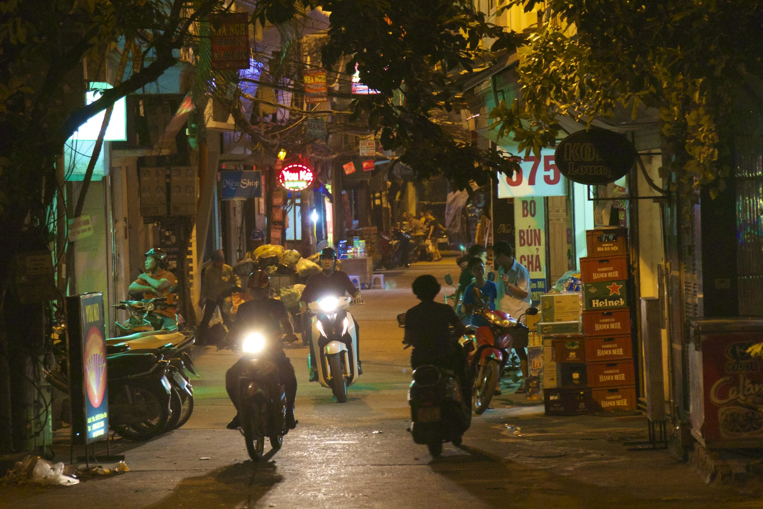
Considering making Hanoi your home for a while? Awesome! It's a great place to live, but it can take some getting used to, and knowledge is power. This guide should answer all the questions you could have about moving to Hanoi, but if you're still feeling uncertain, don't hesitate to reach out and ask me yourself!

Just passing through? Looking to explore and have some fun? This guide will give you a peek at some Hanoian favorites from the perspective some more permanent residents. Trust me, hanging out with the locals and the expats is a totally different world than Hanoi’s rowdy backpacker scene.
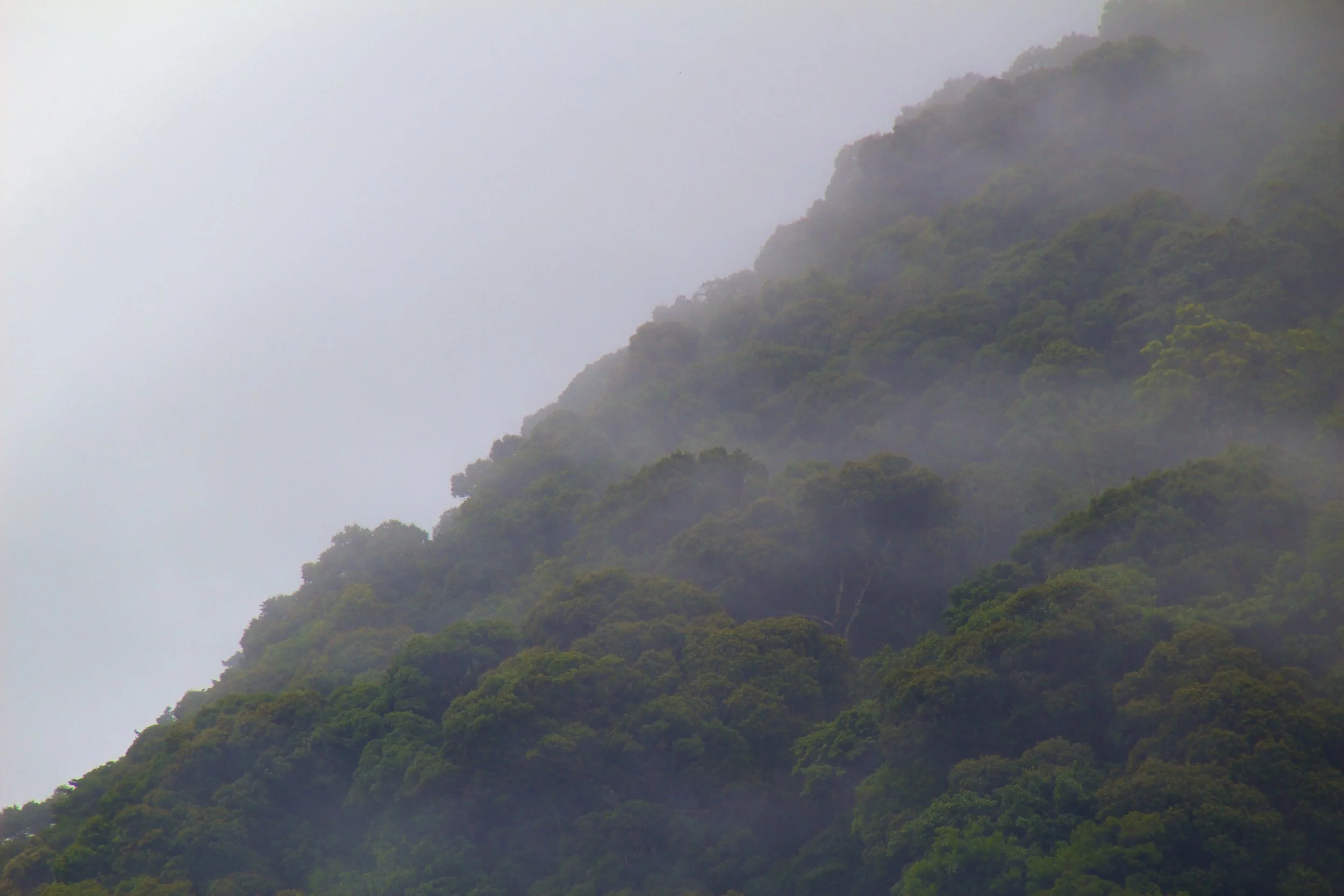
Ba Vì Mountain is just a couple hours drive West of Hanoi. It’s supposed to be beautiful, so my roommate and I decided to make a motorbike trip of it. I’m going to tell you now – our first attempt was a miserable failure. It was not until our second attempt that we summited that S.O.B.

You wake up. It's a normal morning and you need to make breakfast before you head off to work. After you freshen up, you trudge downstairs to make yourself an omelet. You put the pan on the stove. You get the carton of eggs out of the fridge, and when you crack open the egg, instead of yolk coming out, a fully-formed bird fetus falls out.
Actually take a moment to imagine that plopping down onto your frying pan.

This is the first in a 3 part series. This first installment is about my first 72 hours in Vietnam. And I don't write this for the sake of trash talk, (the company in question is earning a bad enough reputation without my help) rather, I write this to let you know some of what can go wrong out here. Working abroad in the developing world carries a different set of challenges that growing up in the West does not prepare you for. Hopefully, if you ever find yourself in a similar situation, you will have learned a little something about how to sort it out from reading this.

Welcome to the 2nd installment of the ESL Teaching “Story Basket.”
Make some popcorn / get nice and cozy / go to the bathroom now because this one is a bit longer than the last one.
We'll start with the story of me giving a terrified student the "get-out-of-jail-free card."

In buying my first motorbike I chose the path of least resistance and bought an automatic transmission bike called a Nouvo. However, in addition to being a gas guzzler, this bike was considered to be 'unmanly'. Eventually I gave into societal pressures and graduated to a semi-automatic transmission bike called a Wave, which I rode for a short time. Semi-automatic bikes are undoubtedly the most practical bikes for city driving, but I really wanted to learn to drive a manual transmission bike. Go big or go home, right?

When my hosts suggested that I visit the elephants in Ayutthaya, I had some serious reservations about it. I expressed my concerns to them and they reassured me that while elephants might be treated poorly elsewhere in Thailand, the elephants in Ayutthaya are treated well. Being locals, it was safe to assume they knew what they were talking about. After all, there is a spectrum. It's not ALL terrible. But either way, wouldn't feel very entitled to an opinion on it if I didn't go see for myself. So I resolved to approach the experience with skepticism.
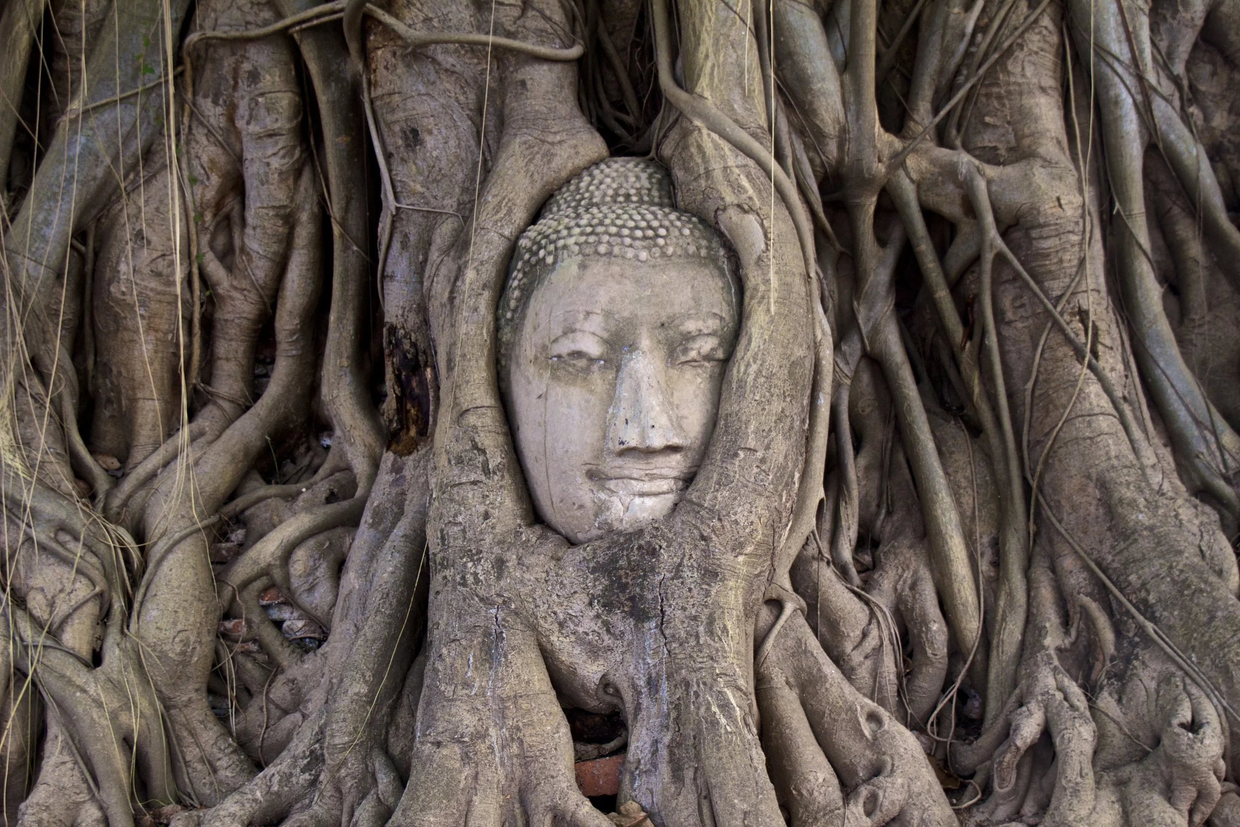
Pretty much the only city in Thailand that anybody outside of the region has ever heard of is Bangkok, both famous as a tourist destination and infamous for the debauchery it plays host to. Chiang Mai also gets a good bit of press. But there was a time when the center of culture and politics was entirely different. Have you ever heard of Siam?
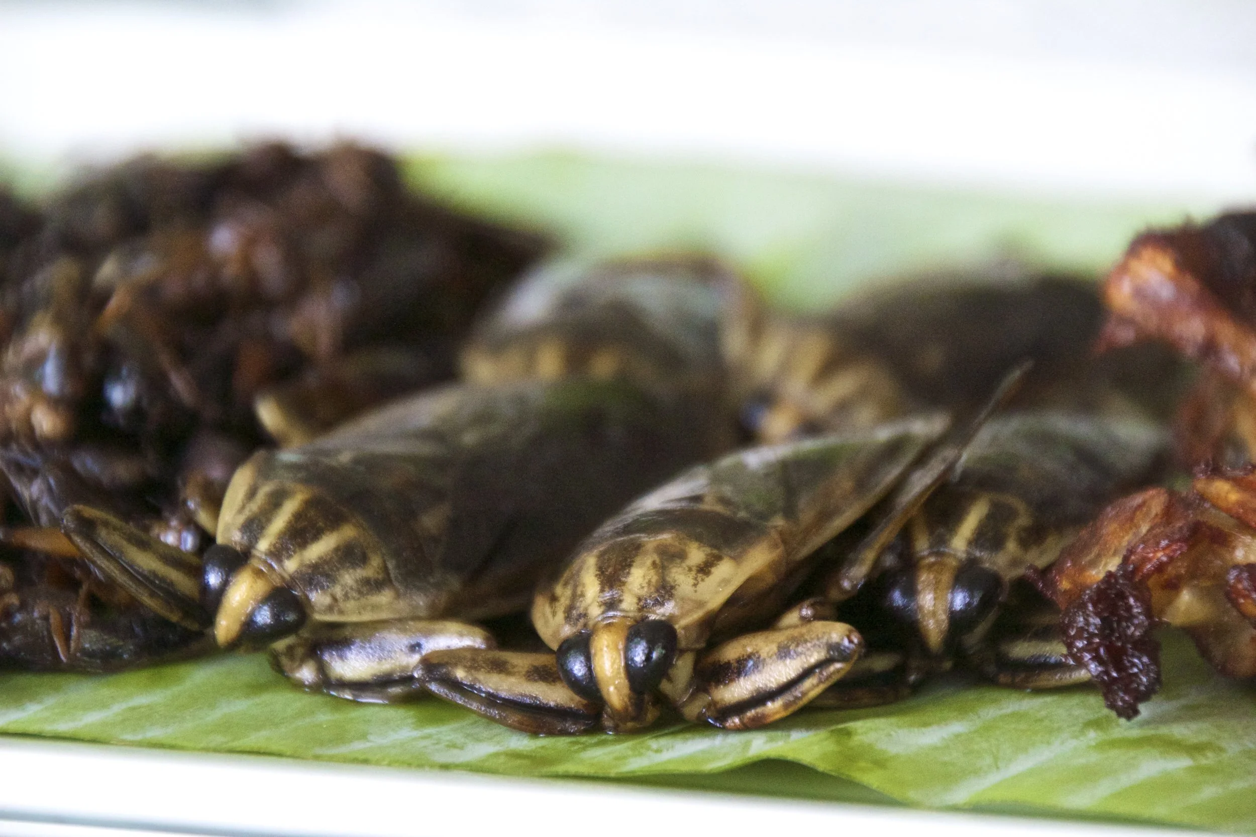
Thailand is known all over the world for, among other things, its food. And I wanted to try some authentic Thai food. “The weirder the better” I told my hosts. They were pretty amused with my antics and sent their maid to the market for some goodies. I would have liked to see the market but I ate all the food just the same. So let’s start the count down of strange foods. We’ll order these according to weirdness and save the weirdest for last.

On my trip to Bangkok I was lucky to have a Thai friend from University who is a Bangkok native. I stayed with her and her family. My gracious hosts were, financially, pretty well off… to put it mildly. So I should let you know right now, that the parts of Bangkok detailed here are not on the typical traveler’s itinerary. These places are for the elite and for the locals. I was brought to and from each place in an air-conditioned private car. And thanks to the miracle that is Thai hospitality, I barely spent a dime. I could definitely have gotten used to it. I'm a baller on a budget after all.

Most teachers in Vietnam operate on self-acquired visas. Vietnam, still coming to terms with the fact that people actually travel here now, is pretty anal about visas and is constantly changing it’s rules. The bad news for me is that it has recently discontinued visa extensions. This means that in order to continue working in Vietnam, every 3 to 6 months I have to leave solely for the purpose of coming back with a new visa. So the good news for you, reader, is that I get to talk to you about how to get a visa for Vietnam.

Most of what happens to me in the classroom isn't enough to merit its own extended blog post. But as the Vietnamese school year comes to a close, I want to share a collection of stories from my classes. This is the first of 2 installments of the teaching 'story basket'. So without further adieu, here are 4 little windows into what class with Peter is like.

Ho Chi Minh’s mausoleum is mammoth. It takes up a solid 10 square city blocks and it looks kind of like a slick, chrome, communist version of the Lincoln Memorial. It is only open in the morning. Entry is free but you had best be there at the butt-crack of dawn if you want to avoid a multi-kilometer long line. Most of the line is not tourists either. It is mostly Vietnamese families.

From Toul Sleng, these people were herded onto buses like cattle. Before the buses revved their engines and headed for, what would eventually be known as the Killing Fields, the people were told that everything was okay; they were just moving to a new ‘home.’ Maybe some of them believed that and hung onto it for the duration of the bus ride, but I don’t think many of them had many illusions left.
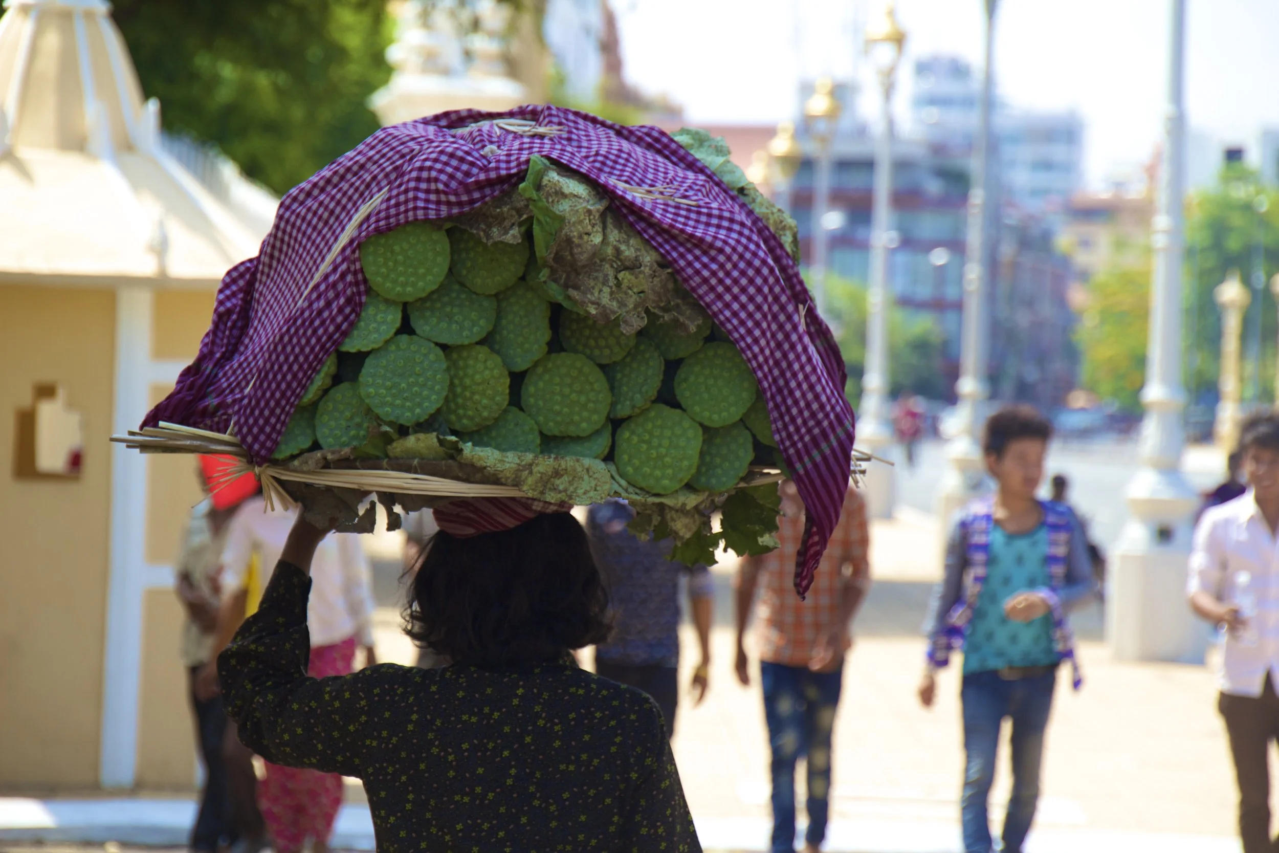
The reports I had heard about Phnom Penh prior to my arrival were overwhelmingly negative. People talked about the drugs, theft and the prostitution before they mentioned anything else. So I arrived prepared for the worst.
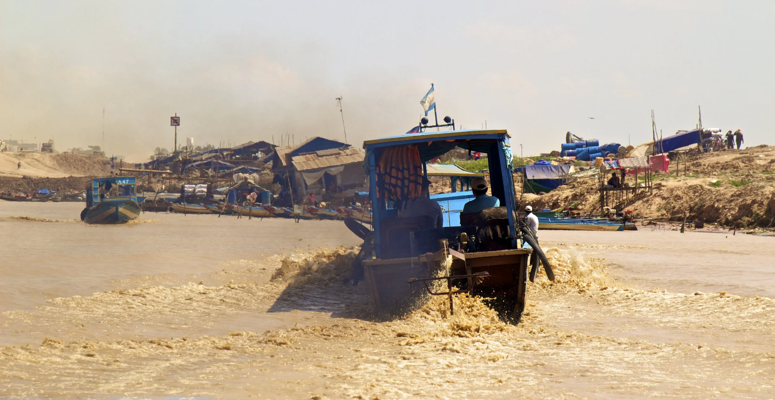
Not far to the South of Siem Reap is Tonle Sap Lake. Being of comparable size to the great lakes in the U.S., this lake is the biggest lake in Southeast Asia. Sitting at one of the Northern most points of this lake is one of the floating villages. This is an actual small town that is floating a few hundred meters off shore. Its population is mostly fishermen, but it also has all of the normal small-town trappings like a supermarket, restaurants, even a pagoda, all floating out there in the lake.

Angkor Wat is perhaps, behind the Great Wall of China, the most recognizable landmark in all of East Asia. But despite its fame, is actually one of the smaller members in a much bigger complex of temples. Angkor is an area of about 20 square miles, containing more than 200 temples. Angkor Wat is special amongst these temples because it is perhaps the best preserved. This is thanks in part of the giant moat that surrounds the temple, keeping the jungle from swallowing it back up like so many of the other temples in Angkor.

Going to Cambodia is a lot like going to a strip club – you better arrive with a fat stack of ones. Trip Advisor ranked Siem Reap as the #1 destination in Asia last year. The Khmer new year was just 2 weeks ago and Siem Reap apparently received roughly 300,000 international visitors in addition to 1,000,000 domestic visitors (in that week alone) who all came to take part in the giant party that was being held in Angkor Wat and the surrounding temple complexes.

Hội An was a very important trading post of the old world. It was the opinion of most Chinese and Japanese merchants that Hội An was the best trading post in Southeast Asia, if not Asia at large. However, thanks to a treaty signed with the colonizing French, Đà Nẵng eventually became the port of choice in lieu of Hội An. Also, due to a build up of silt at the mouth of the river, Hội An became all but inaccessible to the large ships that used to frequent its docks. The effect of this was isolation. The ancient town of Hội An was all but forgotten about during Vietnam’s tumultuous next 200 years.

Travel plans! On this trip, we'll be visiting Da Nang, Hoi An (in Vietnam), Siem Reap, and Phnom Penh (in Cambodia). Included in these destinations will be Angkor Wat and the Killing Fields in Cambodia, as well as a legendary lantern lighting festival in the backwaters of central Vietnam.
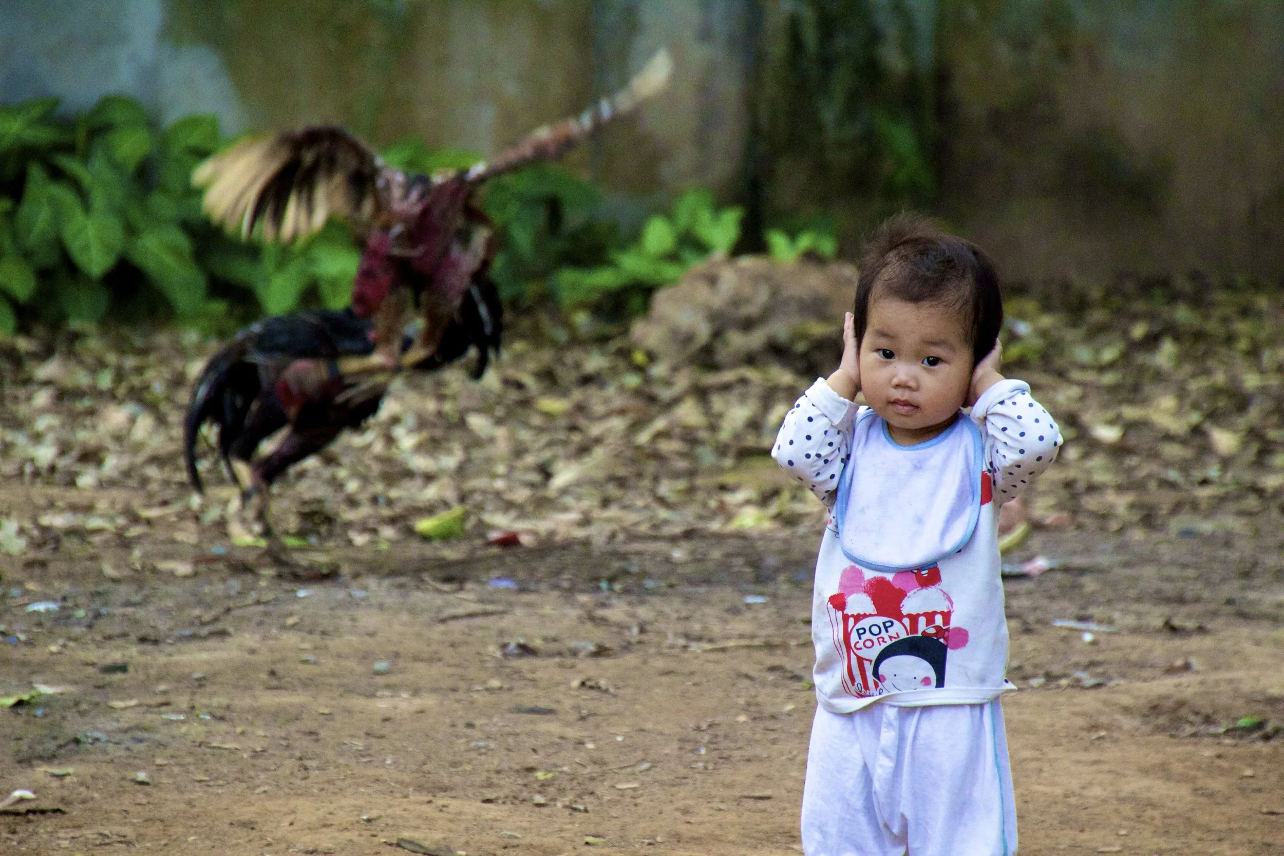
With the 40-year anniversary of the end of the war between Vietnam and America in a few days, the timing of this was fortuitous. Our story begins with a dinner, as many of my stories do. One of my former students, Linh (pronounced “ling’), had invited me to have dinner with her and her family. Soon they would be leaving for Newfoundland, Canada. They would be living in a small college town on the Eastern coast while her husband, Dzung (pronounced “zoong”), earned his Ph.D. At the end of this dinner they invited us to come to Bac Ninh Province (just North of Hanoi) to have a large dinner with their extended family.
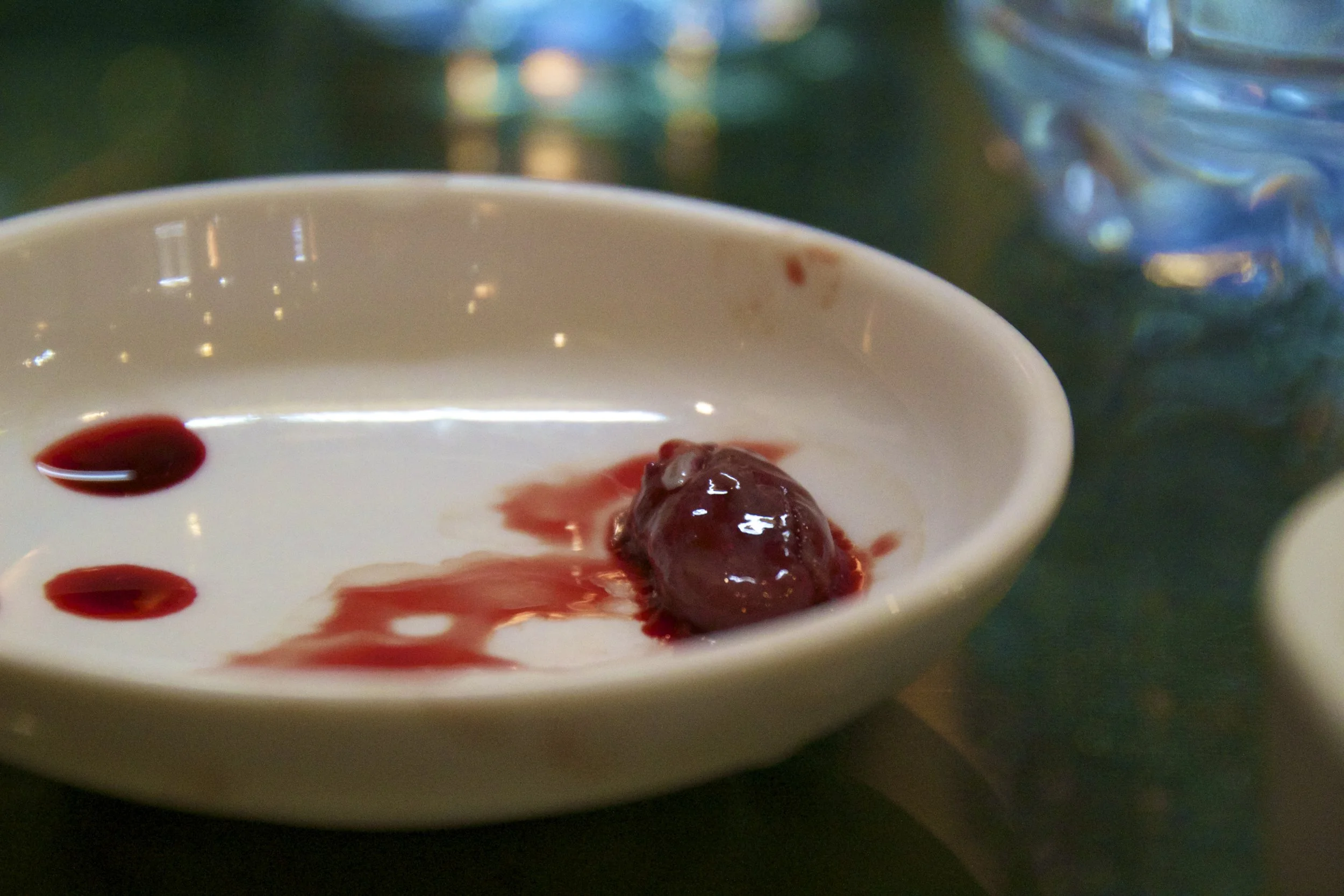
Yeah. Gross, right? Vietnam has a lot to offer to the dark side of the culinary world and I’m doing my best to try all the weird cultural dishes I can whilst I am here. This week’s dish is a beating snake heart. Also included in this post will be snake organs, bones, skin, and poisonous stomach bile.

It was good to get back home so that I could start making money instead of spending it. Spring has come to Hanoi. With summer just around the corner the streets are now littered with the flip-flops of small children and we are receiving more rain than I thought possible. One rainy Tuesday morning around 6am I woke up to my phone ringing.

Thanks to some crafty plane ticket booking strategies, we ended up with a very extended layover in Kuala Lumpur (or KL, as the cool kids call it). I was pretty overwhelmed by all the American food chains that populated the airport. It had been a long time since I’d seen a Johnny Rocket’s. But eventually we found our way out of the airport to the train that would take us into KL.

Our last night in Indonesia was spent in Bali. We had about half a day to spend in Bali and we chose to spend it visiting the magnificent cliffs and precariously placed temples of Uluwatu on the Southern most point of the island. It is also known for it’s gargantuan waves, which were, even in the low season, and even from our high vantage point, quite impressive.

I was disappointed when the original plan for the trip (which was motorbike island hopping from Bali to Flores and back) fell through, but that didn’t mean I couldn’t still get some riding in while I was still on Bali. I had been told that I needed to check out a little town called Lovina in the North of Bali. Standing between us and Lovina were some pretty formidable mountains that surrounded Bali’s volcanoes, so it was going to be a fun trip.

It was low season, so the fabled ‘Gili T party scene’ was pretty lackluster. The island is only 3 km long by 2 km wide so there isn’t much to do on land besides eat, drink and relax. Oh, and do drugs. Since the 1980s Gili T has been known as being an easy place to get shrooms. This was sort of a shock to us because drug related offenses carry the death penalty in Indonesia, at least that’s what the immigration cards we had filled out on the plane told us. During the one night that we did go check out the nightlife we were solicited shrooms so openly and frequently you’d have thought they were selling candy.

Labuan Bajo is a city that I had looked at least 100 times on the map. I don’t know what I expected it to look like but it was looking pretty amazing from the deck of the boat as we blew closer to the harbor. It was looking amazing simply because it was land. If you’ve read my past few posts you know that this had been a pretty traumatizing voyage. It was high seas that day as we approached the end of our trip but I stood out on the open deck counting this minutes down until we got to the harbor and I could live the rest of my life on dry land.

Komodo National Park opened at 7:30am and the dragons were said to be most active during the early morning. We were told to be up by 7am in order to have breakfast and get ready to venture into the park, so naturally everybody woke up at 5:45am. On our agenda that day were Komodo Island and Rinca Island. Those are 2 of the 4 main islands that compose Komodo National Park and they are the only 2 islands that are open to the public.

We sailed further into the islands to a place called ‘Manta Point.’ This place was famous amongst divers for, you guessed it, manta rays. As far as I could tell, Manta Point wasn’t really an actual ‘point’, rather just a large area of water in the middle of the Komodo Islands. Our boat slowed down as we approached Manta ‘area.’ The crew leaned off the deck, scouring the clear, blue water. Then there was a shout. Off in the distance what looked like a large fin broke the surface. As we continued I could see big dark patches moving around beneath the boat and obstructing the purity of the water's light blue coloring. These were manta rays. I was so jazzed that I jumped in with no sunscreen, which was a terrible decision, but I was busy swimming through this...
We sat on the deck of the boat eating our dinner together. Nobody was speaking. We were not in good spirits. Lightning flashed silently off in the distance in all directions with increasing frequency. The coast of Sumbawa sat calmly a few hundred meters away. I watched the lights twinkle from shore, wishing I was there instead of on this boat. With the wind picking up, we could all feel the storm coming.
The rest of us, strangers to one another at this point, looked at each other, and then with an uneasy shrug climbed down onto the deck of this tiny boat. It bobbled precariously with every passing wave. One thing was certain: this was going to be interesting. So let’s fast-forward a little bit, shall we?

Our boat trip was set to depart from Lombok, the island directly to the left of Bali. This meant that we would need to stay in Lombok the night before the trip in order to get an early start the next morning. So the day before the trip started we set out early for our ferry across the Bali Sea.

Although Mount Batur has been active as recently as the year 2000, its last major eruption was in 1968. In the 47 years since, Mount Batur has been (mostly) dormant. What does that mean for us? It seems to be the general consensus on Bali that this means it is about due for another eruption. So naturally, we decided to climb it.

I was pretty infatuated with the island already as we navigated the labyrinth of strange, narrow, mossy alleyways to our ‘bungalow’ accommodations for the first night in Ubud. I was pretty fed-up with the island 2 days later as I trudged through the crowded, dirty streets looking for a motorbike in Kuta. I'm pretty sure that everyone hates Kuta. But then I was back to liking the island again later on as I road a motorbike along the winding mountain roads on the less developed Northern side of the Island.

I had been briefed on what to do in this situation and it played out more or less how it had been described to me. The policeman asked for my registration and license. I obviously don’t have an international driver’s license so he’s got me there. He sat me down in their police station and scolded me as a shook a small booklet full of prices and descriptions of various fines in my face.

I haven’t been working weekends for the past 6 months for just a short little trip so I shrugged and blocked out about 3 weeks. I have known that I wanted to do something a little bit crazy so I had been brain-storming things I could do during Tet for the past few months. So without further adieu, here’s the plan.

I write this article to let you in on some of the issues you can have interacting with foreigners whilst you are abroad. You meet an interesting mixture of people when you are traveling, and in spite of their differences, the usually have one thing in common: extreme personalities. Another issue is that there are nearly always cultural differences that can muddle interactions. To make matters worse, many people living abroad are scared, stressed, or thinking that they are beyond the reach of consequences, so they will do extreme and selfish things from time to time.

There was a huge, black SUV stopped in the middle of the street. There was a mysterious white powder all over the shattered windshield. The rest of the vehicle was already very badly dented, as if a crowd of people had attacked it. There was an angry mob gathered around around the drivers seat door. Something was happening there.

Before going into this museum I was vaguely aware of most of it's contents but I had never been forced to really consider any of it or face what America has actually done in this country. I'm not very political so I can have the tendency to be lazy in this department.

On Christmas night, two friends and I walked into a bar in District 1 to have a beer and play a game of pool. This was maybe not the most traditional activity for Christmas night, but at least we had each other. I was the last to arrive at the pool table on the third floor of this bar because I had been distracted somewhere en route. When I walked up the stairs I was handed a pool stick and introduced to my teammate: a random guy in the bar. His name was Leonardo.

Is there even anything to do in Vietnam for Christmas? Asia has definitely bought into Christmas for the pure commercialistic value of the holiday (check out below if you don't believe me) but does anybody here actually care? It was the evening of December 24th and though some light Googling I had happened upon some vague information about Christmas Eve festivities at or around Notre Dame Cathedral in the center of the city. So we got in a cab and told the driver to head over!

Since moving to Southeast Asia I've felt that I would be robbing myself of the true experience if I didn’t at least try every strange dish that is pushed across the table in my direction. So that is exactly what I have been doing. And it's been a lot less disgusting than I expected... until the Buffalo penis.
This was disgusting.
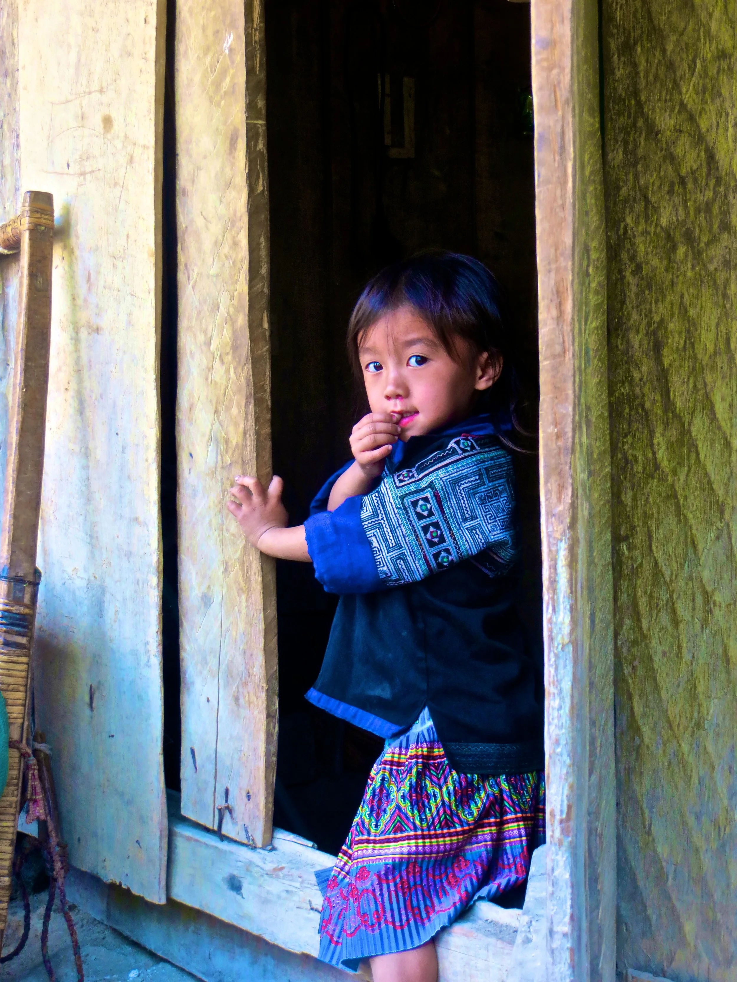
We were driving overnight and I was doing my best to sleep but it was tough with our bus driver trying to break some sort of land speed record on the winding, bumpy mountain roads. It didn’t help that I had to twist and mangle my long white-person legs into terrible positions to fit into my seat in the first place. We made it to Mù Cang Chải a little bit before sunrise. This town would serve as our ‘base camp.’

When I woke up I was instantly confronted with one of the more ridiculous landscapes that I have ever seen. Green, mossy giants shot abruptly up out of the earth all around me as our bus weaved down a narrow road. We were also arriving in a dense fog, which made the whole thing a little more dramatic.

Within the first few months that I spent in Vietnam, I had a couple gnarly accidents, the second of which landed me in the hospital. But before I got to the hospital—while I was I was lying in the street at the end of a long skid mark of blood and metal—it occurred to me that passing on the wisdom I had gained through learning to drive in Hanoi would be prudent. They say that the first 3 to 4 accidents are a rite of passage for driving in Southeast Asia, but that doesn't mean that you need to go into the experience blind. What follows are my 10 rules for staying safe on the road in Hanoi. But, before we get to any of that, I have a lil' treat for you.

That’s when it happened. I was broadsided by a taxi that took a sudden, unexpected turn. And I hit the pavement hard. You’d think that in an event like this there would some sort of adrenaline rush that would kick in and help with the pain, at least initially, but there was nothing. In the second or two between my impact with the taxi and my impact with the ground I think my emotions are best expressed this way: “Really? Again? REALLY?”

During rush hour I spend as much as an hour at a time weaving through the insane Vietnamese traffic, all the while breathing in exhaust and all sorts of nasty chemicals. It wasn’t long before my virgin immune system succumbed to the advances of all these noxious gases and I got sick.
What does it feel like to get sick from pollution?

After about a week and a half of making my way on foot I knew that I needed to get my ass on a motorbike, ASAP. That is the mode of transportation this city is made for. Getting chauffeured around town on the back of other people’s motorbikes was getting old and I was feeling like a big, white burden. And the Vietnamese bus system… no thank you. Not that the 3 hours per day that I had been spending on it feeling like Gandalf in a Hobbit hole weren’t fun… I’m just a free spirit and no cage (nor bus) can contain me.

This is a minor event I suppose… but it's Halloween and there is an interesting video to accompany this story so I felt that it merited its own post. One night I came home to find my two female housemates sitting in the kitchen together. I asked them what was going on and they told me that there was a cockroach and a giant spider in the bathroom. Their plan was to keep the door closed forever. To their credit, this was actually a feasible plan because our downstairs bathroom serves primarily as a storage room and to enclose the smell of our cat's liter box.

As an English teacher, I often find myself giving the ‘food’ lesson. I will ask my students to tell me all of the different foods they know in a given category and they will help me compile a list of all the different vocabulary words they know. One day I was teaching this lesson to a class full of 8 and 9 year olds. I was asking them about different kinds of drinks and one of them kept saying a Vietnamese word that I didn’t understand. Every time he said it the class laughed and my teaching assistant scowled at him. I asked my teaching assistant what he was saying and she explained that he was talking about a traditional Vietnamese dish that is essentially blood soup. Cue my first food post.
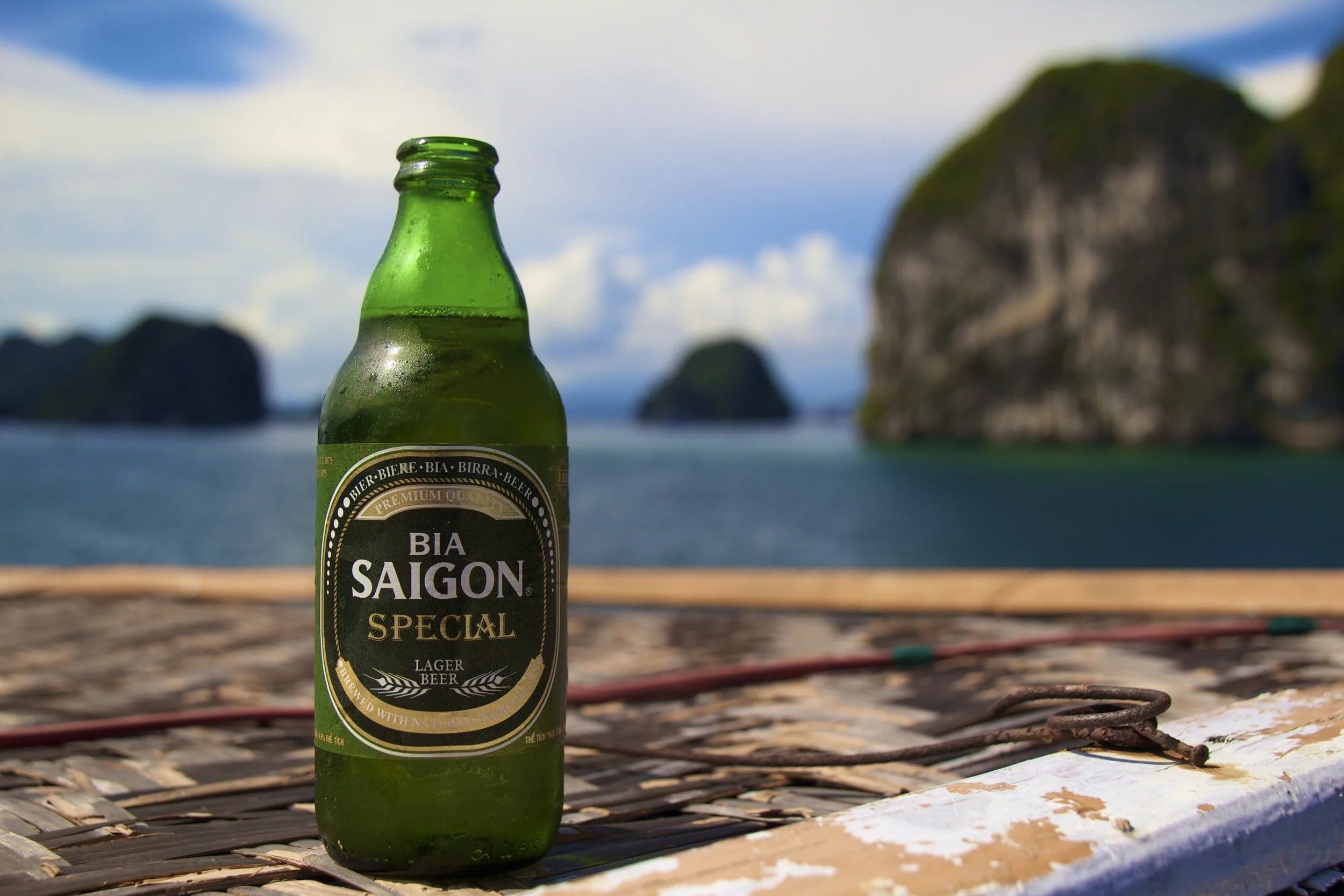
Within a few weeks of arriving in Vietnam I had the blessing of more than one day off work in a row. It would be the only time that this would happen naturally (that is, without twisting any arms) until February so I wanted to make the most of it. I asked everybody I knew (which at that point was not a lot of people) what their plans were for the Holiday but nobody’s off-time coincided with my own. It was two days before my holiday and I had become gloomily resigned to not doing anything. But then one of my roommates’ plans changed at the last minute.

I know that I said that my next post would be about my new motorbike… but something came up, so I thought we could take a little break from our scheduled programming for some live reporting. It was another Tuesday night in Hanoi. I was having drinks with a few friends at a nearby place that we like to go to. And that's when I saw the smoke...

First, I'm sure that you will be relieved to hear that my missing luggage was recovered about 24 hours later. It was actually delivered to the office of my employer (where I was living) by the airport staff, which is much nicer than anything I have experienced in the Western world. I wasn't living in that office for very much longer though. I found an apartment within 2 days of being in Vietnam through Facebook. Thank you social media. And guys, this place is amazing. It is coolest place I will probably ever live and it is only $210 per month. But rather than try to describe it I’ll just give you the tour...

Fast-forward to 30 minutes after my plane landed and I was the last remaining passenger watching an empty baggage claim carousel circulate. My bag (the one that we had paid so much money to get onto the flight to Chicago) never arrived in Vietnam. I spent the following 30 minutes trying to break down the language barrier that separated me from the poor souls working at the ‘lost baggage’ counter. It didn’t help things that I mysteriously had 2 baggage claim tickets for the same bag.

The city had an interesting dynamic. It was at least 1/3rd beautiful British people, presumably all working in the financial sector. Walking through the streets it felt like New York City crossed with the rainforest exhibit at the zoo. Also, the city is sort of at the bottom of a small mountain so everything is either up or down a steep hill. Trollies ran through some of the more flat streets like San Francisco. Interestingly, in many parts of the city there were two layers of sidewalks. The first layer was street level. It was hot, dirty and full of small Asian shops, markets and hair salons. The second level was elevated and climate controlled, unfolding like and everlasting shopping mall of jewelry stores and high-end fashion retailers. To facilitate crossing the street, these sidewalks included bridges that would arc over the busy city life immediately below. I did my best to stray from the ‘main’ roads and hiked up a series of steep winding streets with narrow sidewalks.

Welcome to my travel blog. The point of this blog is first to keep everybody updated on what I am doing and verify to the world that I am still among the living. Secondly, this blog will chronicle my story as I make my way through uncharted waters. Hopefully it can serve as encouragement for anybody else out there considering doing the same thing.
Looking For Something Super Specific?
Here's a search bar for ya:

I realized in writing this article that I was a bit fuzzy on what the word “Anatolian” actually means. I’ll admit it! So, here’s a quick clarification: while the region known as “Anatolia” has basically the same boundaries as modern day Türkiye, the name “Türkiye” is derived from Turkish ethnic and cultural identity. Anatolia had been a hotbed of civilization for eons before the Turks showed up. To give a few examples, people groups such as the Hittites, Luwians, Phrygians, Lydians, Romans—and, approaching groups more relevant to the 21st century now—Persians, Greeks, Armenians, and Kurds ALL fall under the “Anatolian” umbrella, in part or in full. That’s why you’ll hear historians say things like “ancient Anatolian civilizations” rather than “ancient Turkish civilizations.” The Turks are the new kids on the block.