
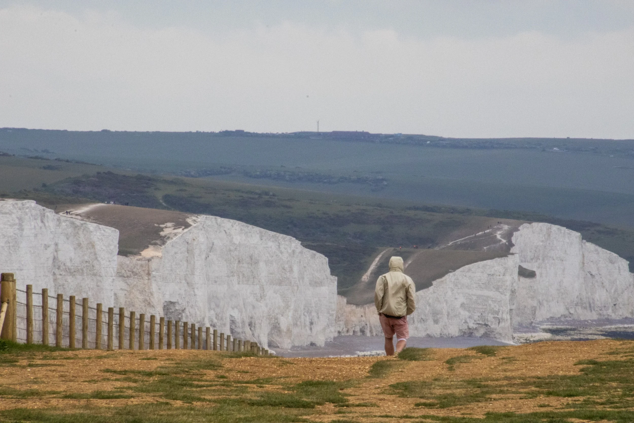
And we’re back in England! You’d think I’d be publishing articles here a bit more often given that I live here, but I am very blessed to report that there’s been lots of other international travel happening lately. More on that next, but right now we’re going to take one of the most highly rated day-trips out of London to Sussex, where we will hike the iconic white cliffs known as Seven Sisters. Best to pack a sweater because it’s going to be WINDY.
Setting Out from Seaford
You can hike Seven Sisters from one of two starting points: little towns on the English coastline called Seaford and Eastbourne. Out of London you buy an outward bound train ticket to one, a return ticket from the other, and you can pretty much hike the distance in between. Here’s a quick map of the “between” area in question:
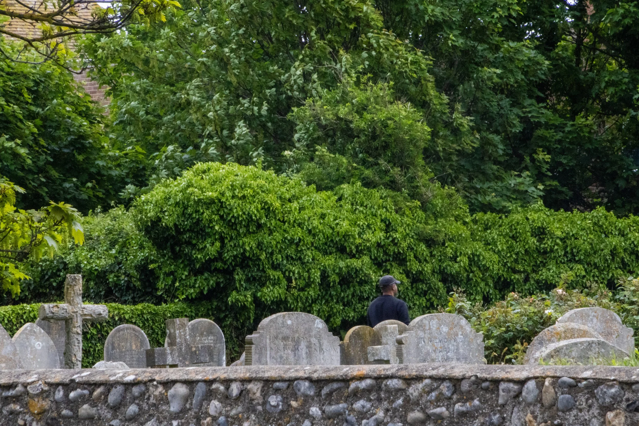
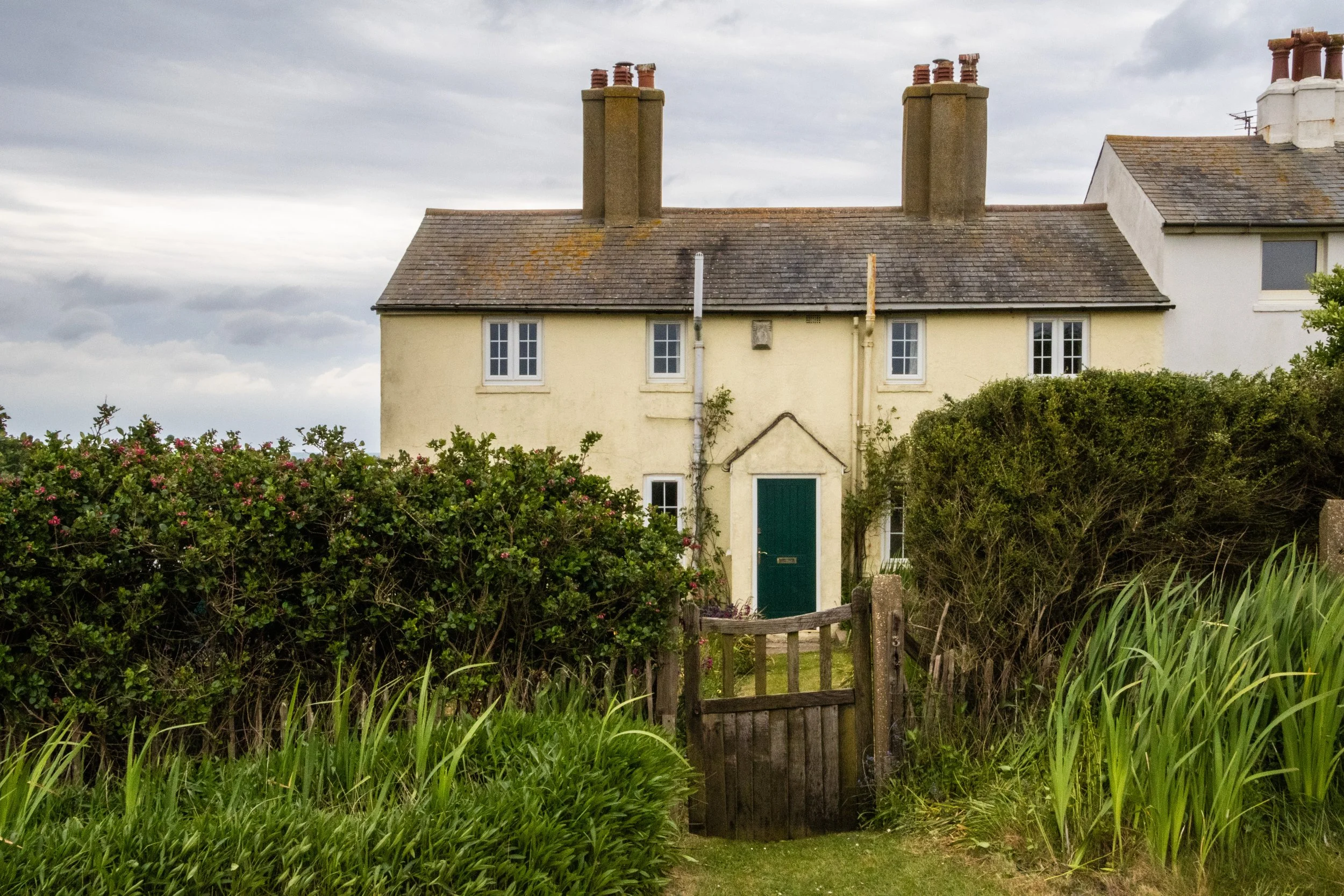
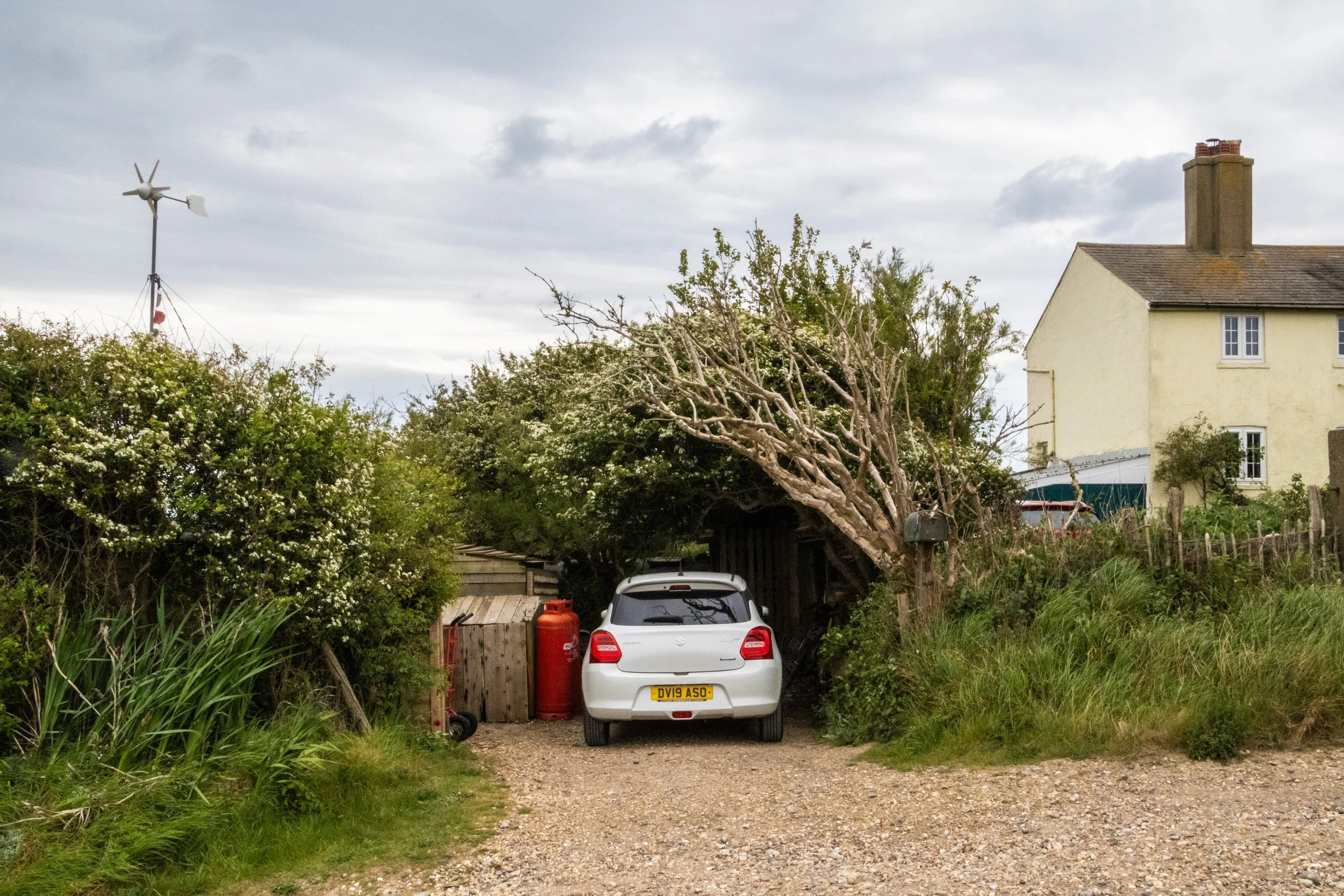
We chose to start out of Seaford because it’s slightly closer to the start of the actual “Sisters”. I’ll explain what the “Sisters” are in a moment, but first – a few pictures from Seaford in the gray space between the station and the start of our hike:
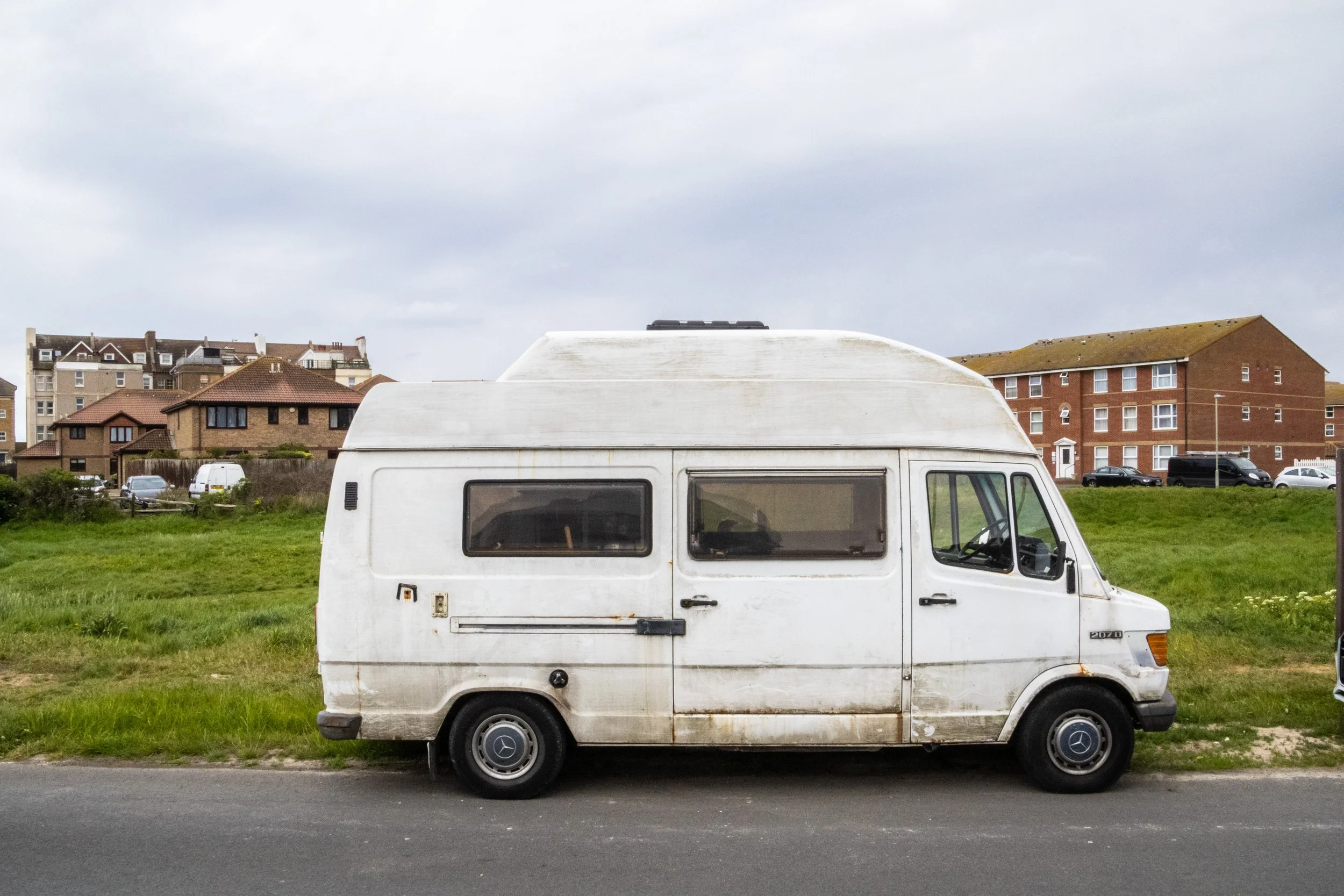
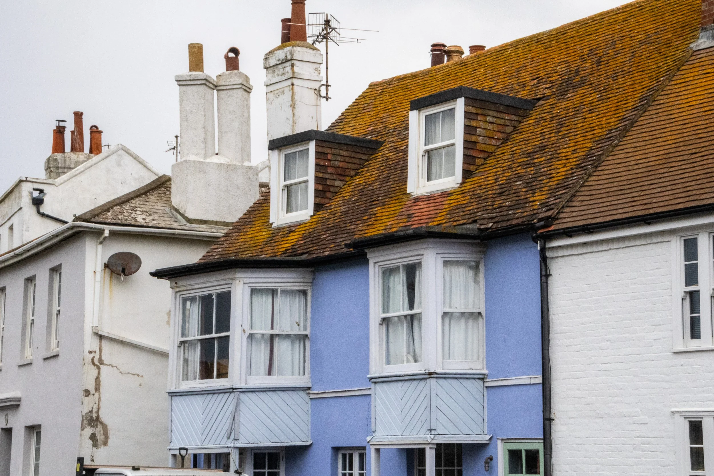
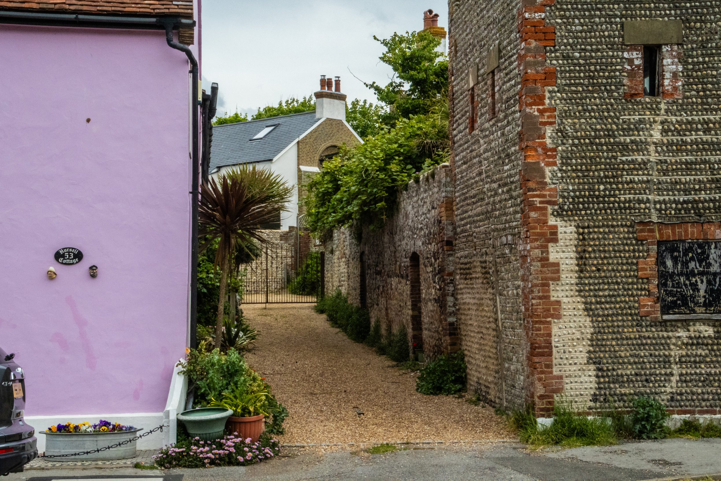
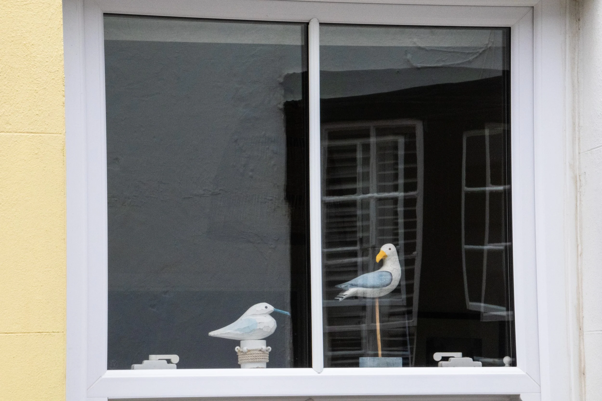
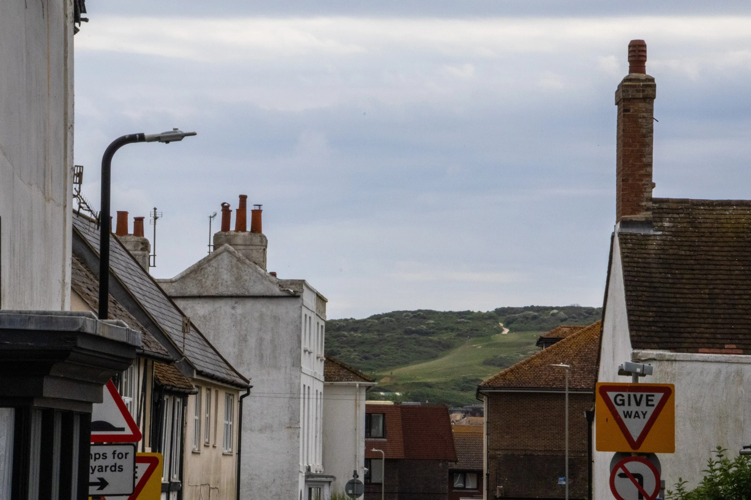
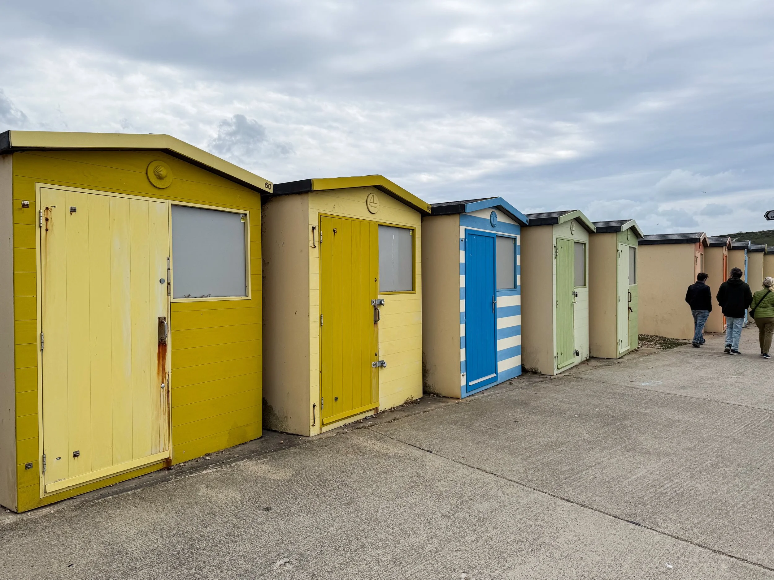
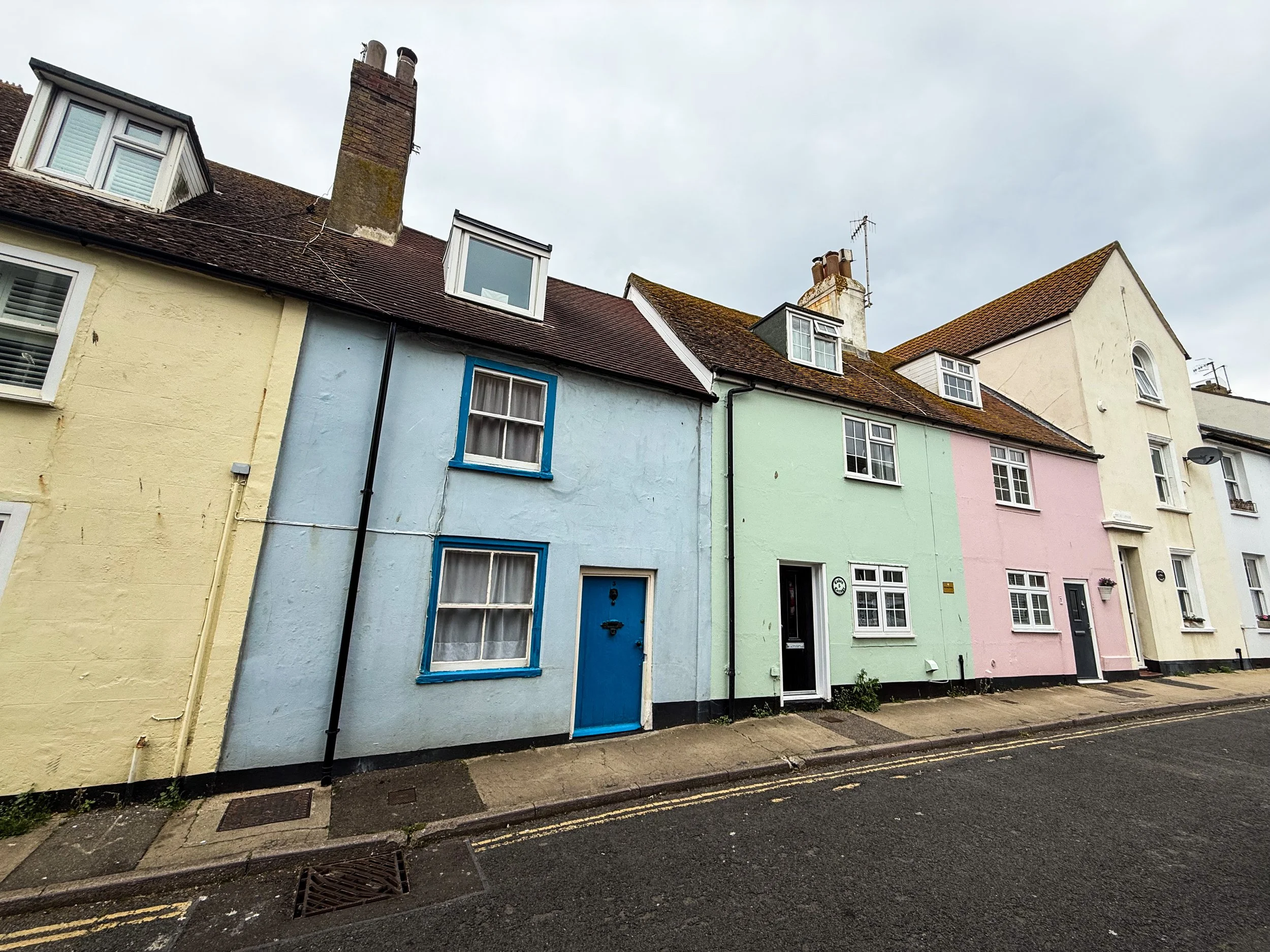
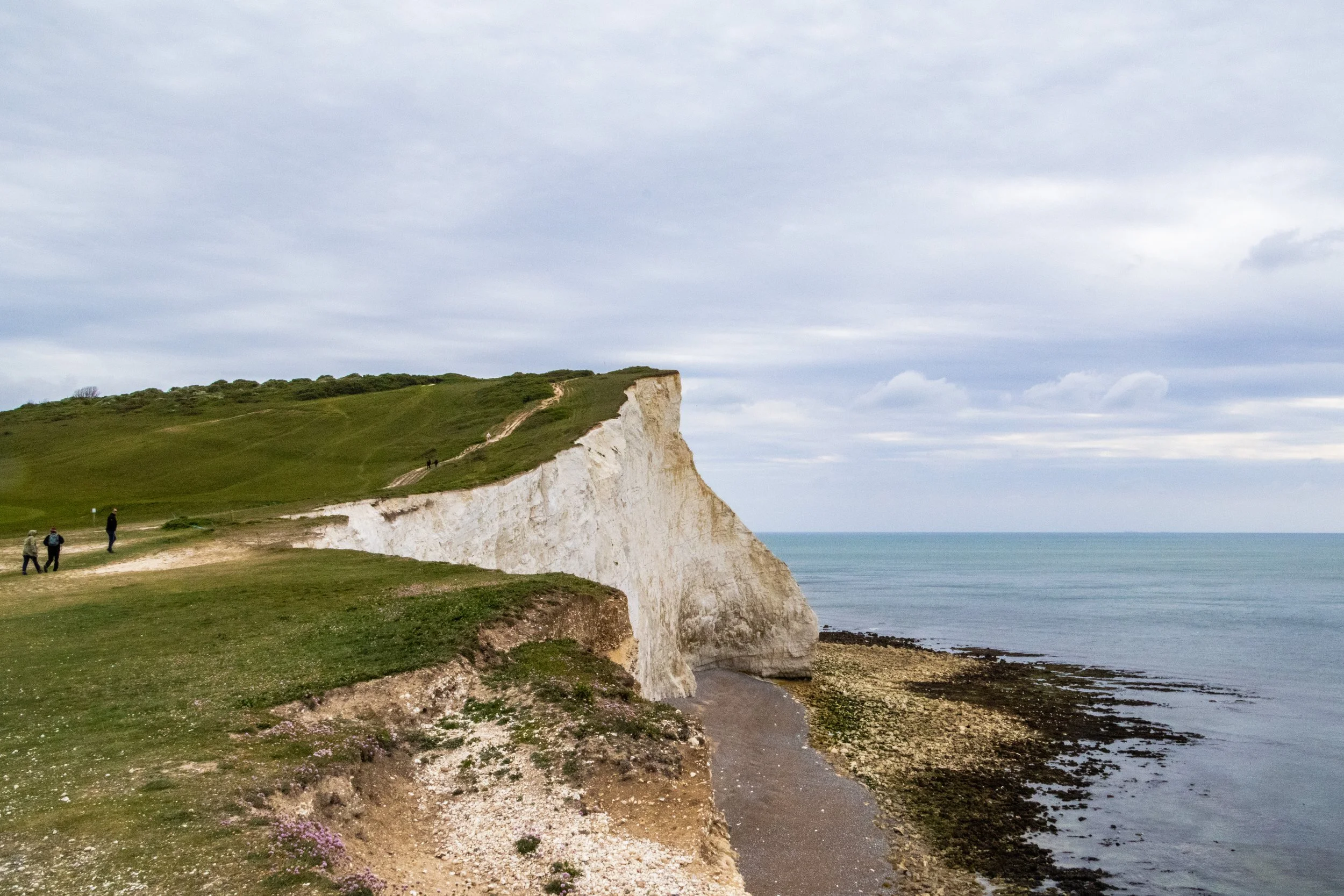
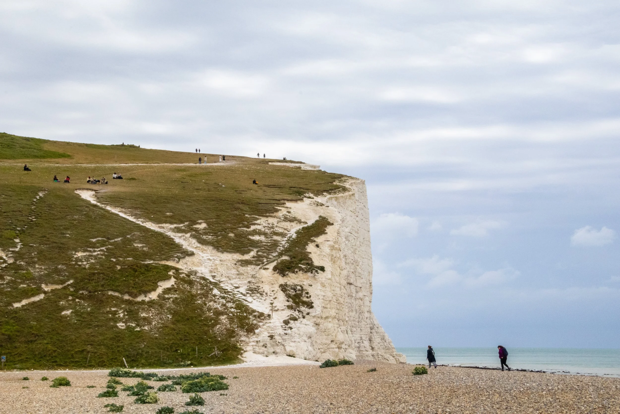
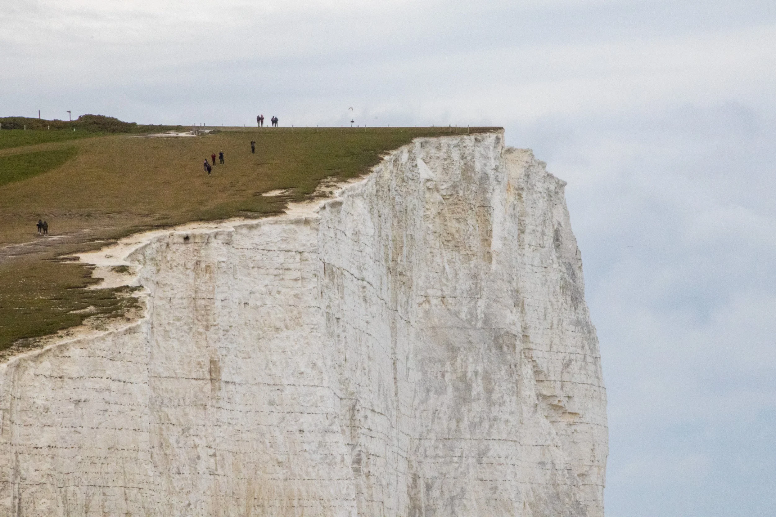
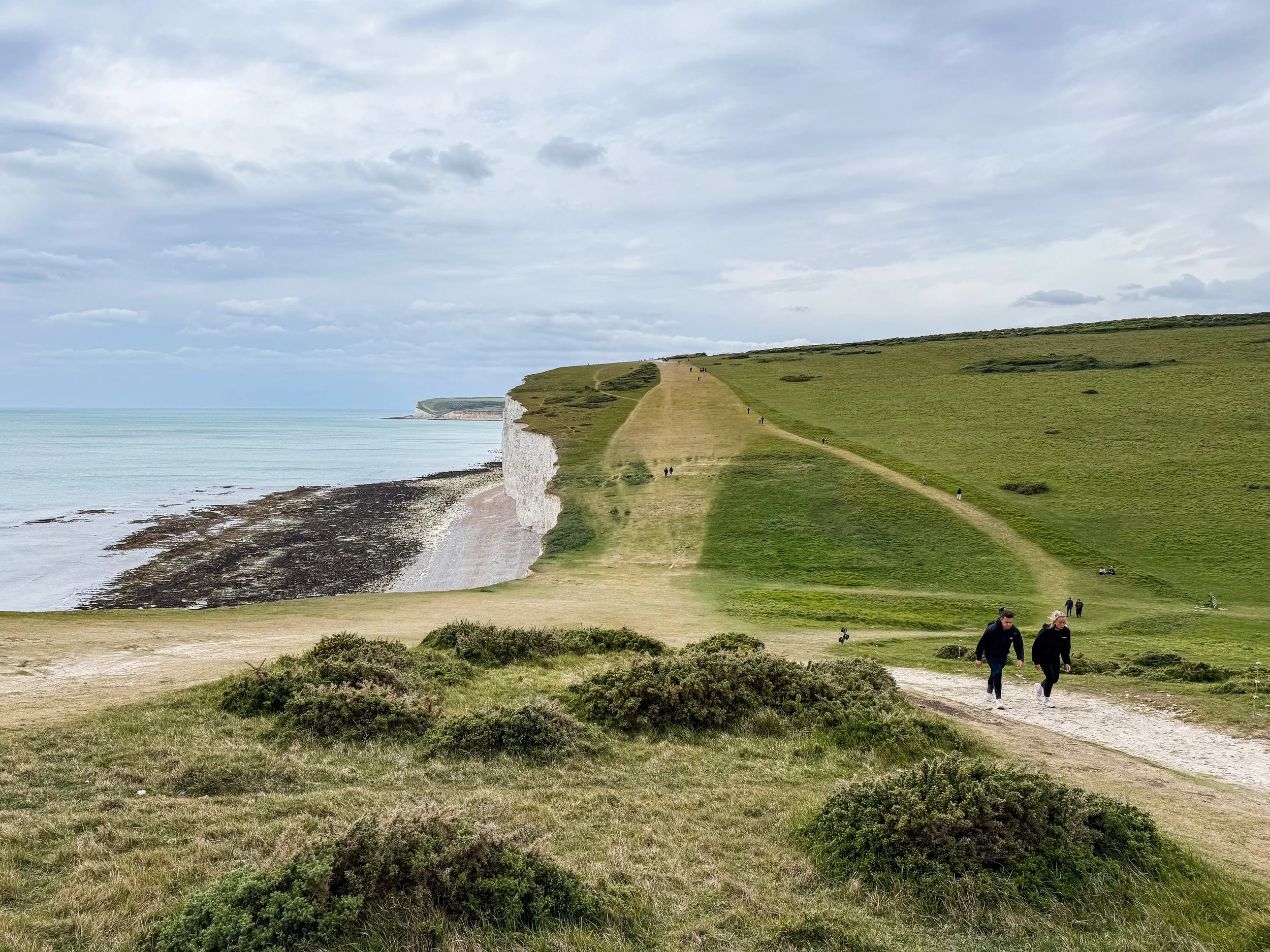
So, the “Sisters” are a series of massive hills that have each essentially been sliced down the middle by natural erosive processes to reveal massive, sheer cliffs that stretch along the English coastline like a series of rolling waves. To make the scene all the more striking, these cliffs are entirely white. Perhaps you’ve heard of the “White Cliffs of Dover”? This is part of the same system of cliffs, which is called the “South Downs”, but Seven Sisters is arguably even more iconic because the entire stretch has been kept completely natural and undeveloped. The white color comes from the fact that the earth here is made of an extraordinarily pure form of limestone: chalk! Indeed, the earth here contains about 98–99% calcium carbonate, with very little clay or sand, making them appear dazzlingly white! They stay so white because they are in a constant cycle of erosion, where after some time the outer layers of chalk crumble away revealing fresh, white chalk.

So, the scientific/topographical term for these massive cliffs is chalk downs ending in sea cliffs. Each "Sister" is a hill (or "brow") separated by a steep valley, giving the coastline its distinctive wave-like profile.
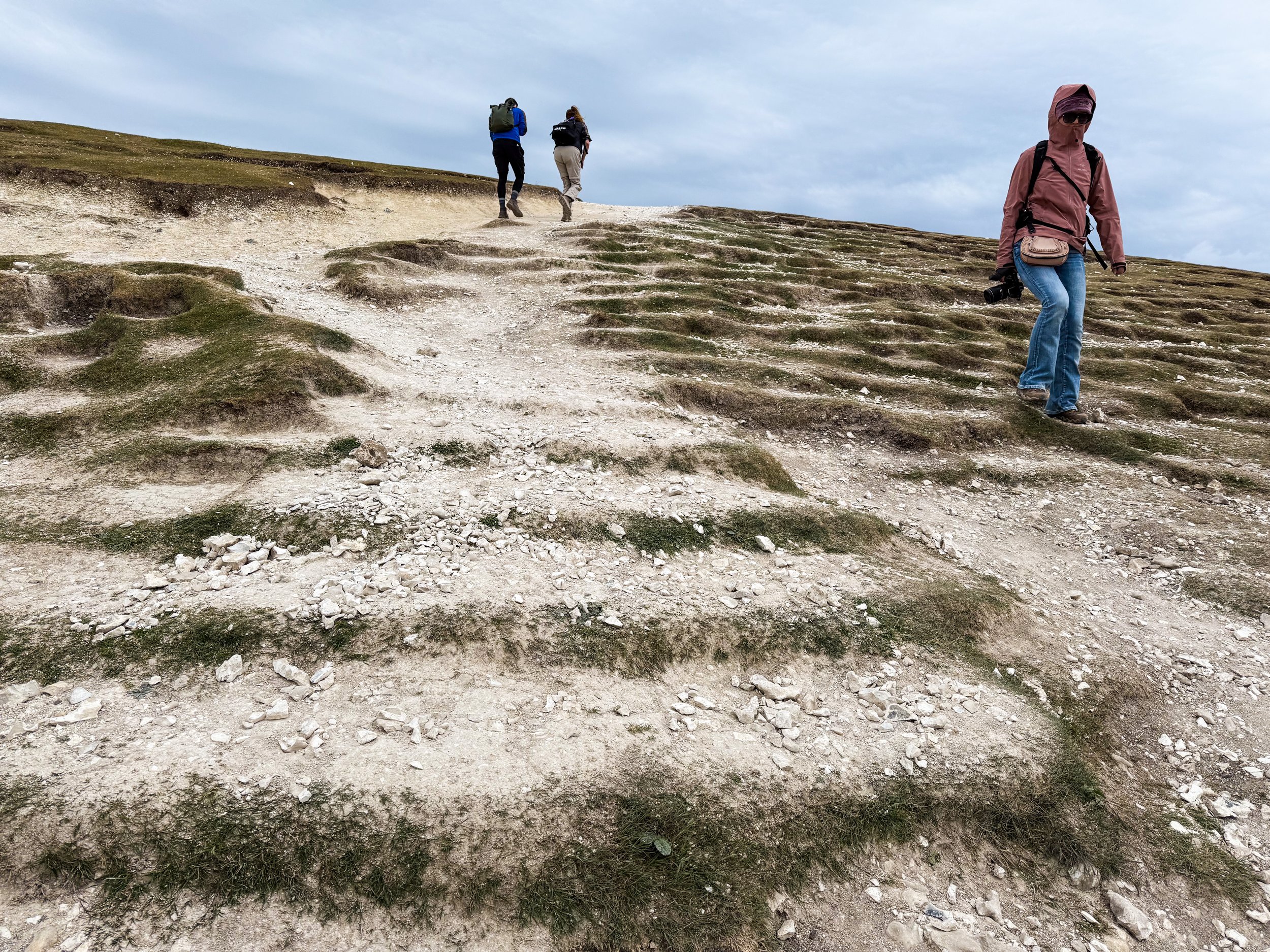
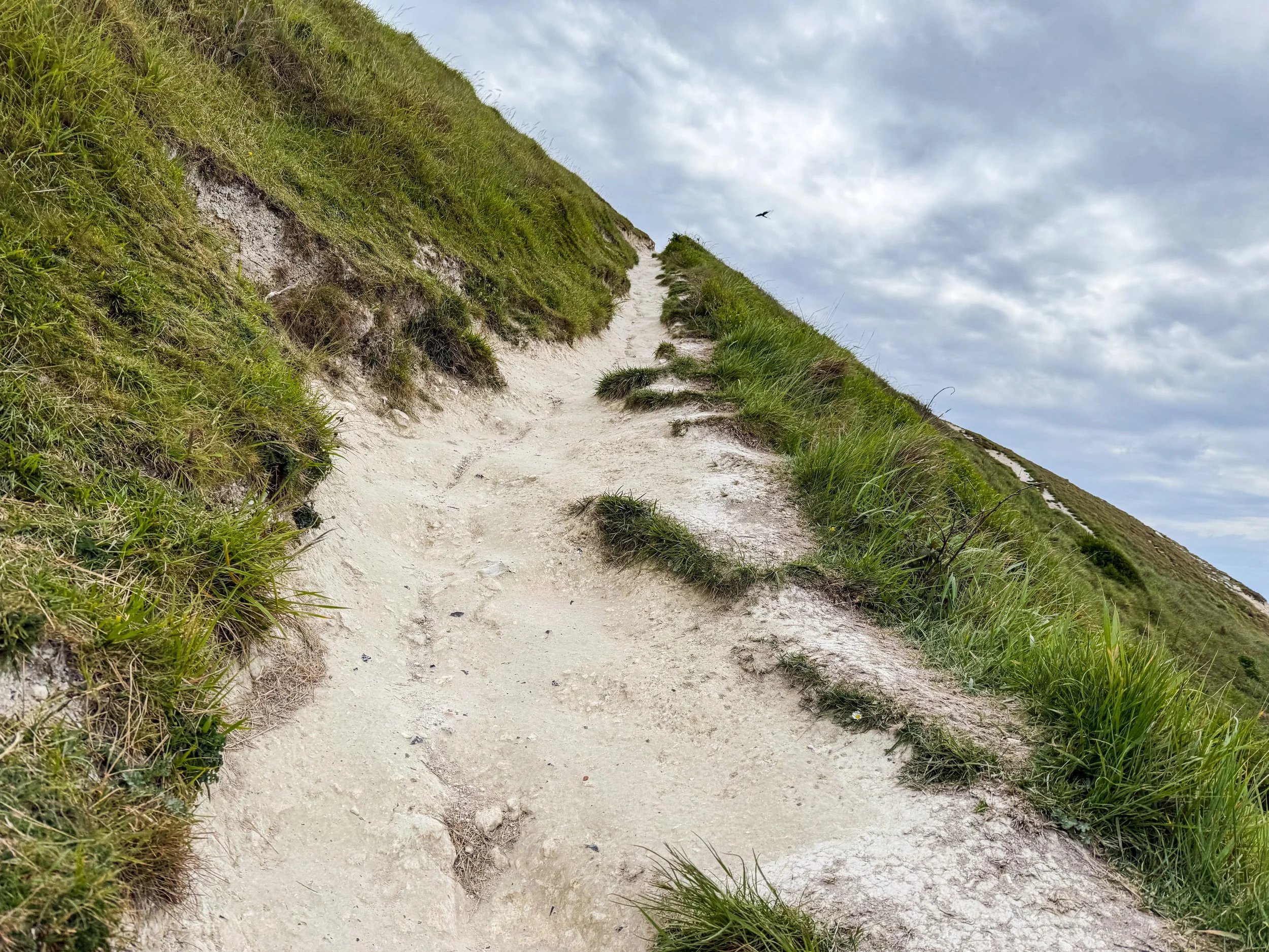
I won’t bury the lead… this was actually quite a challenging hike! The slope of the paths going up to and down from the top of these cliffs was—at times—quite steep, and the intense wind didn’t make things any easier. I found myself keeping track of how many “summits” we’d reached in order to gauge roughly much was left… and this proved ineffective because there were definitely more than 7 summits!
In my research done after the fact, I discovered that the presiding powers of classification now recognize 8 distinct peaks… but reflecting on the day, even this feels like a bit of an undercount… anyway, here’s the official list of what we’re going to hike over:
Haven Brow
Short Brow
Rough Brow
Brass Point
Flagstaff Point
Flat Hill (not technically a “Sister”)
Bailey's Hill
Went Hill Brow
Beachy Head (also not technically a “Sister”)
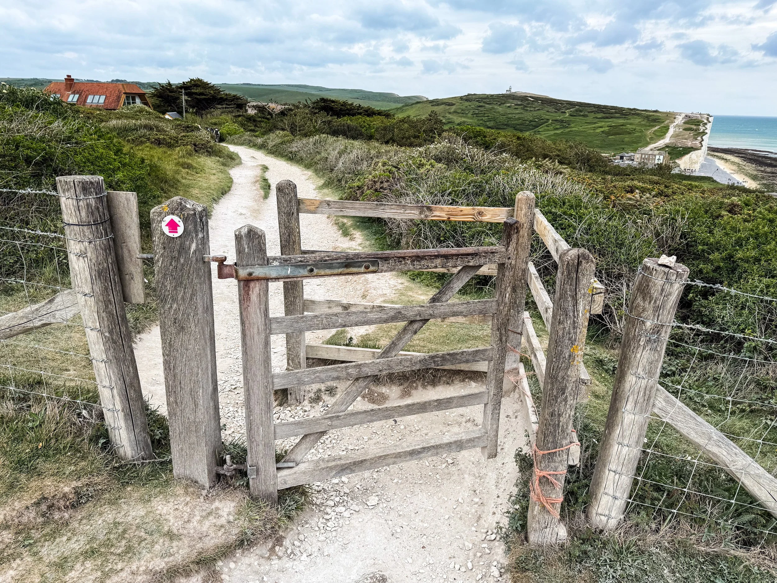
Here are a few photographs from our ascent to Haven Brow, which provides an incredible view of the rest of the white cliffs stretching off into the distance.
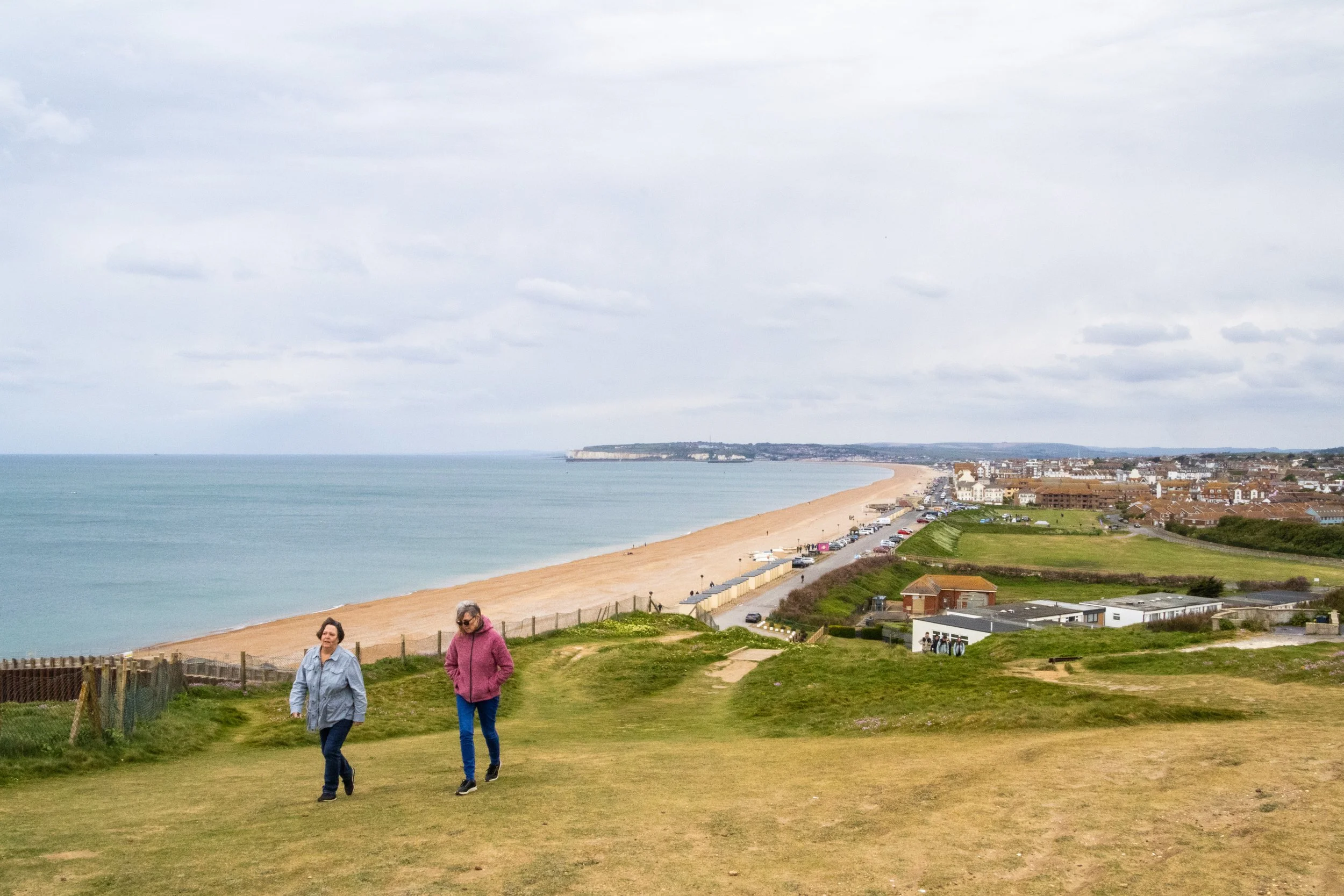
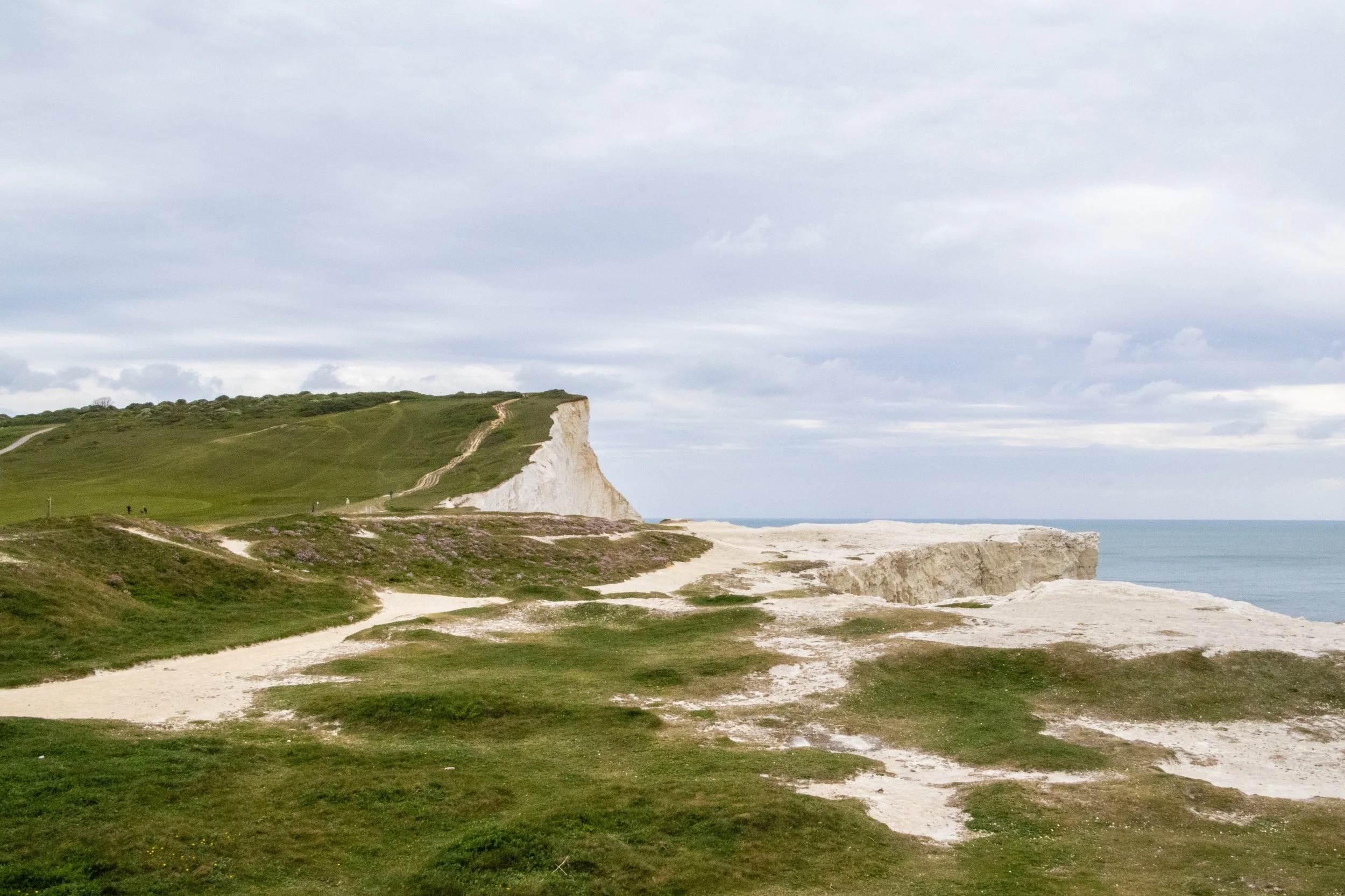
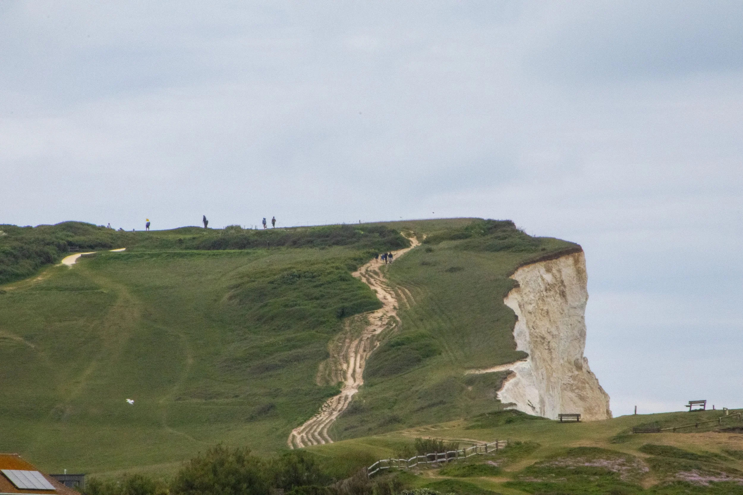
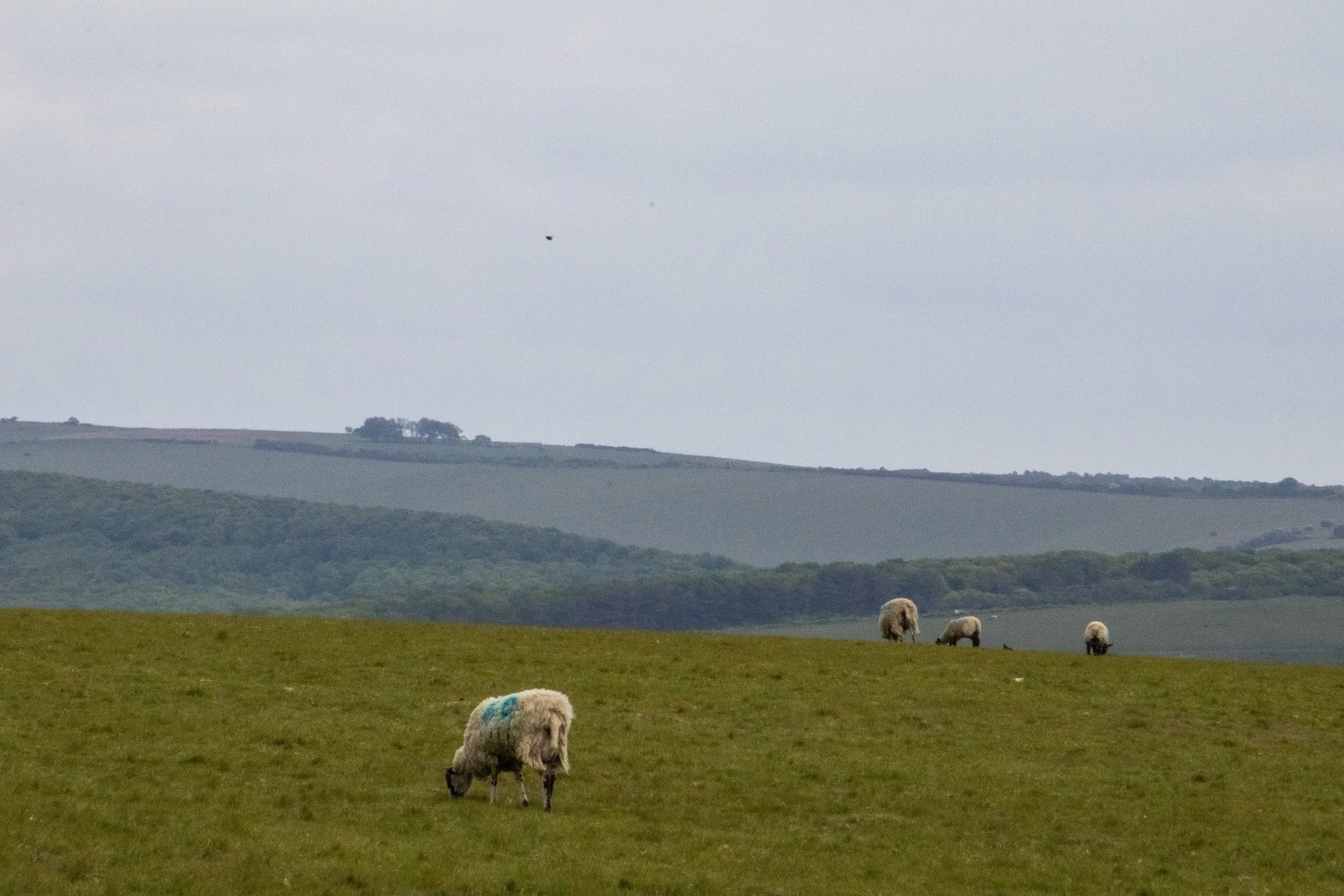
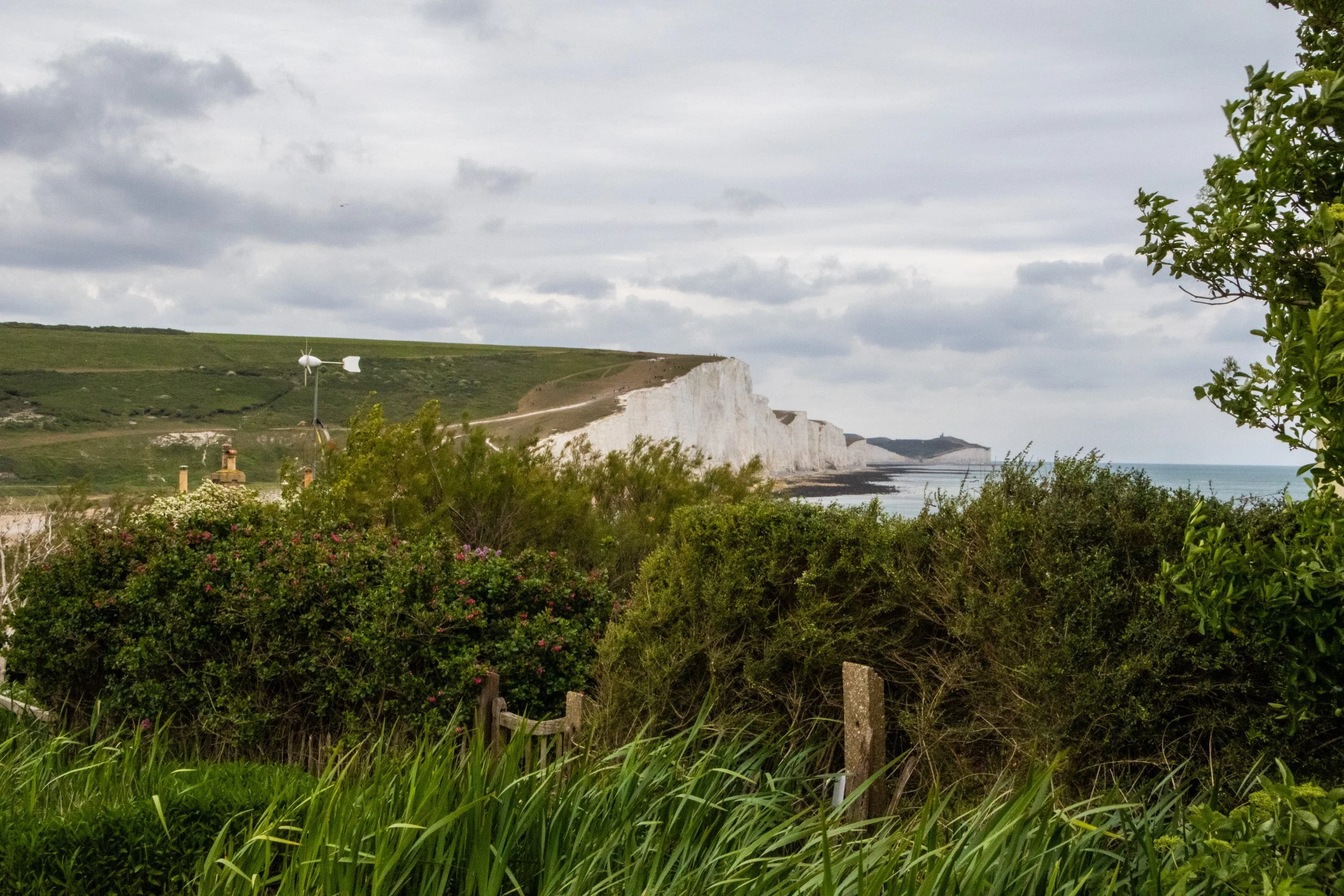
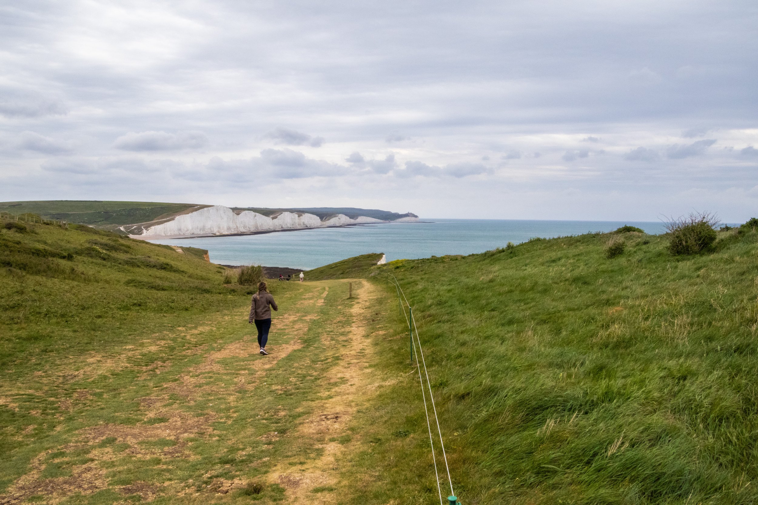
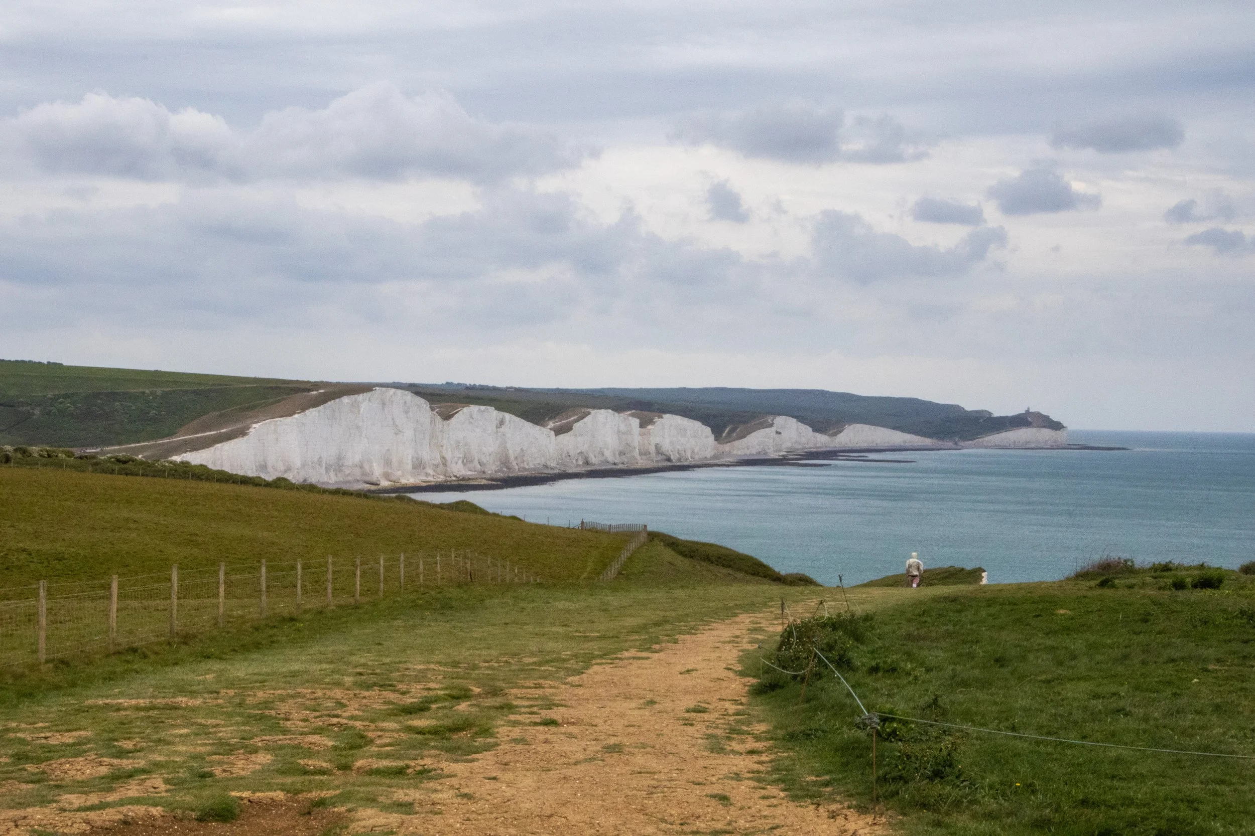
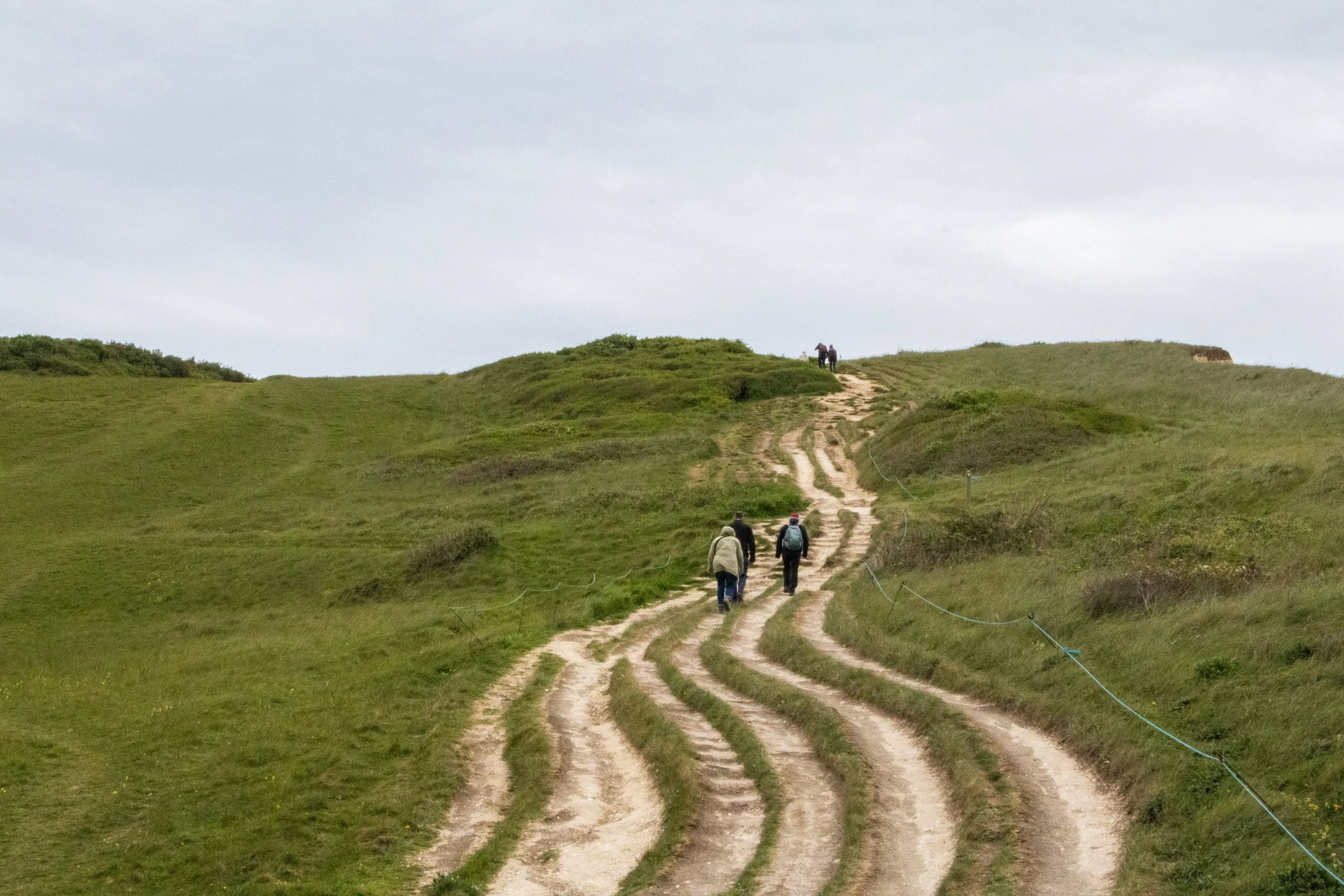
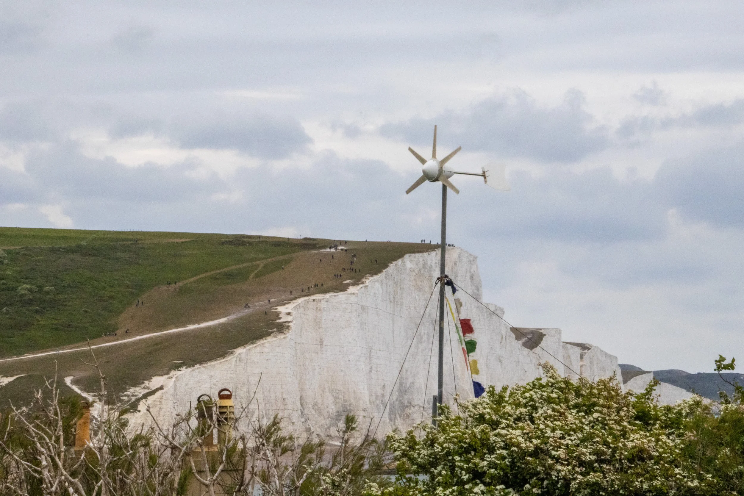
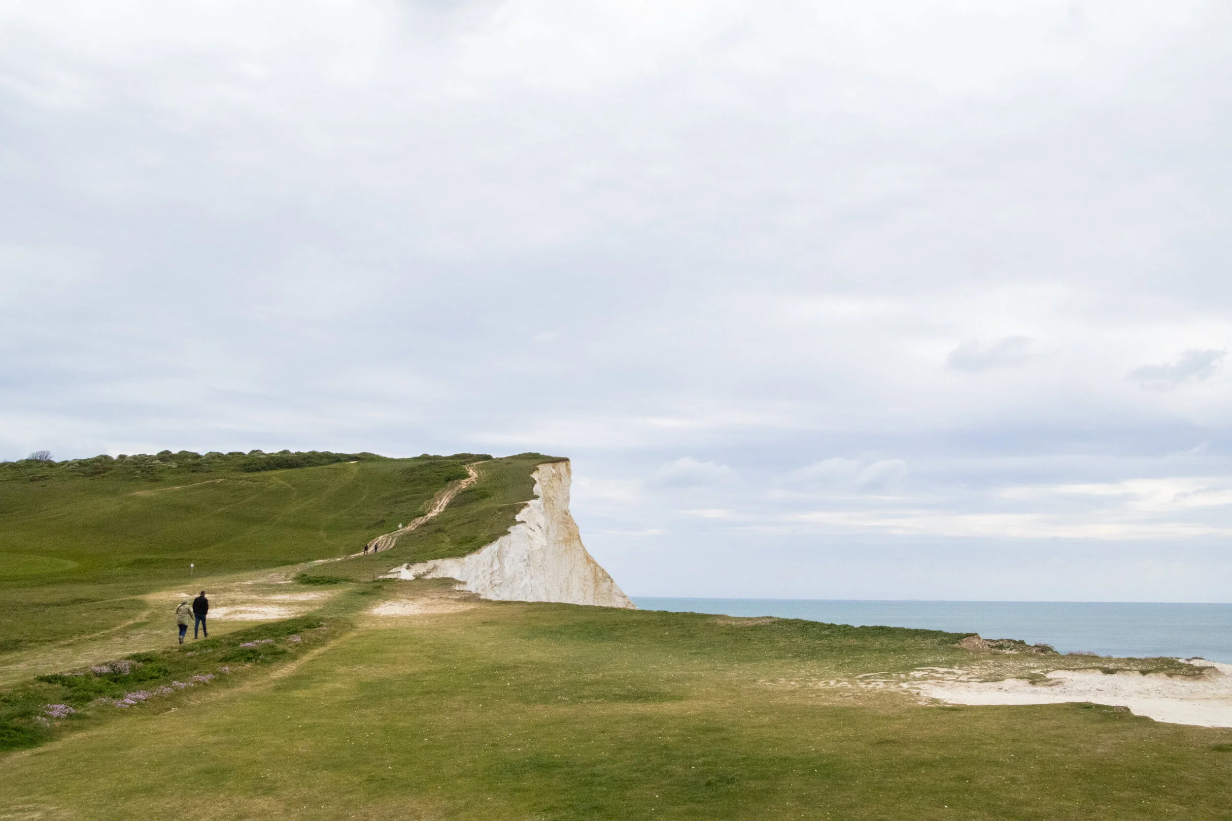
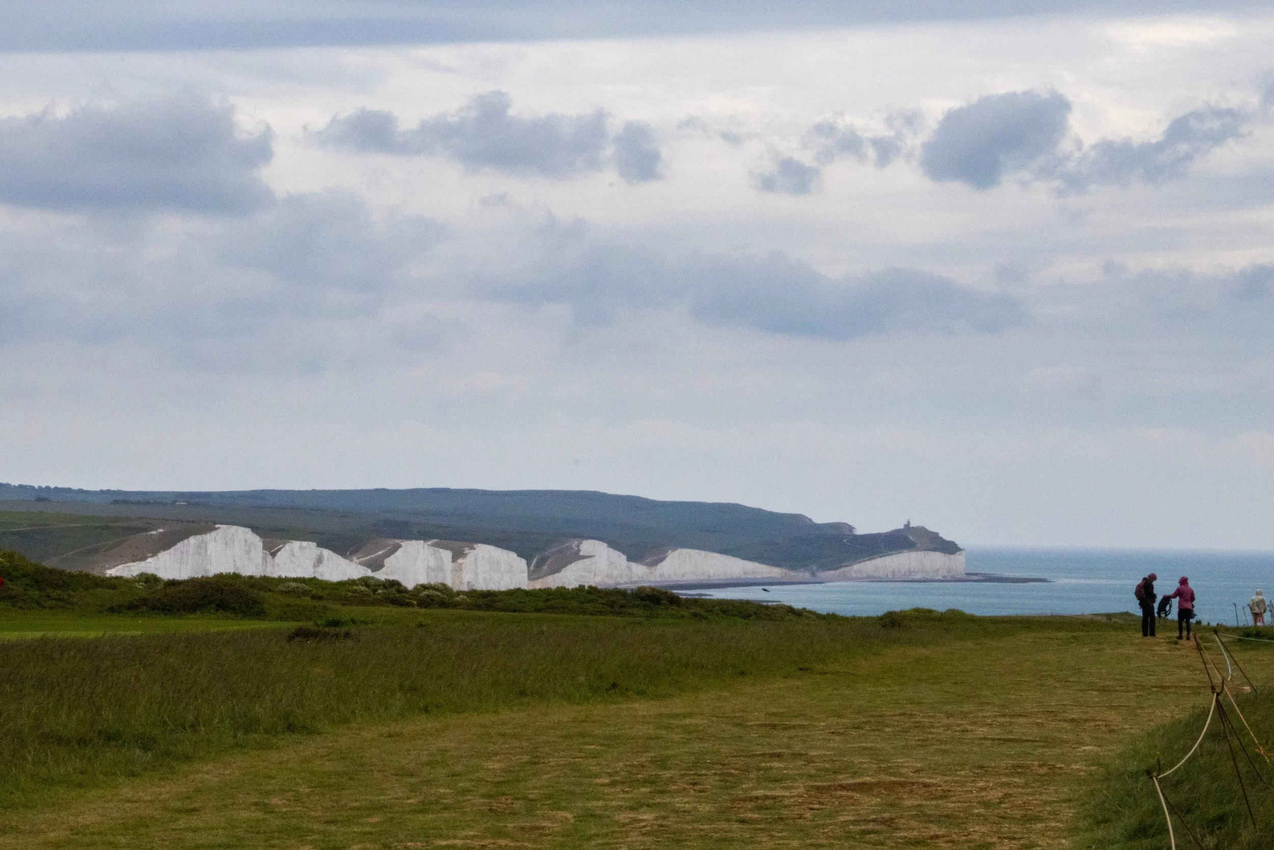
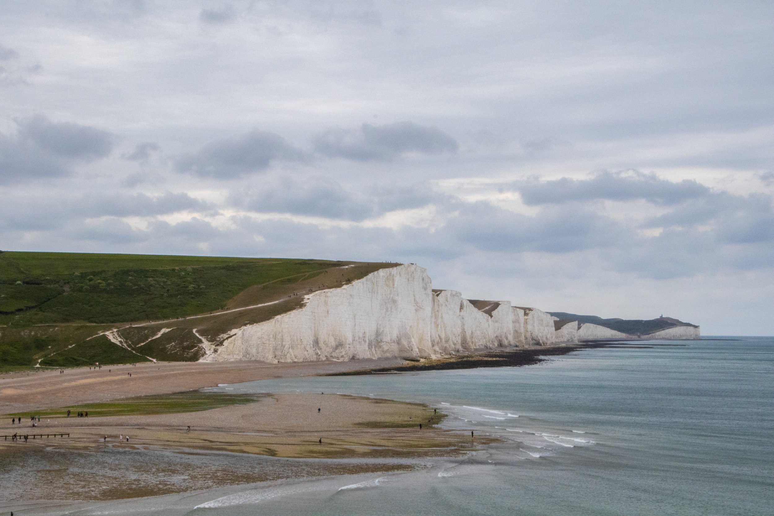
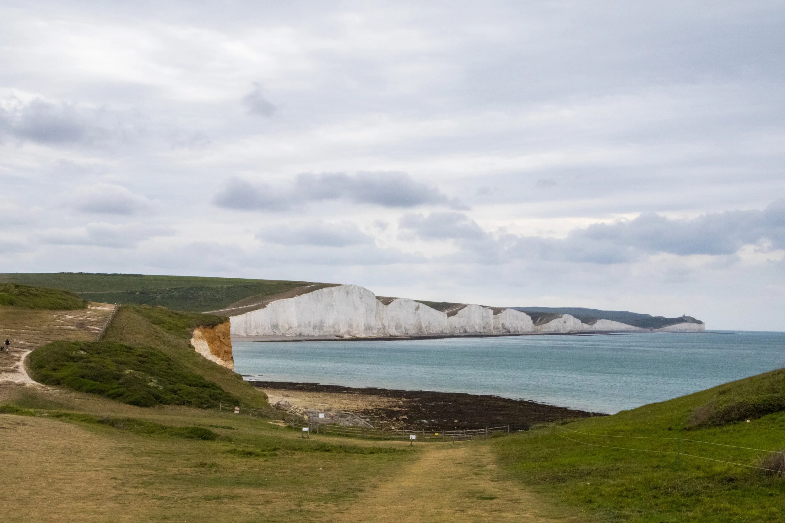
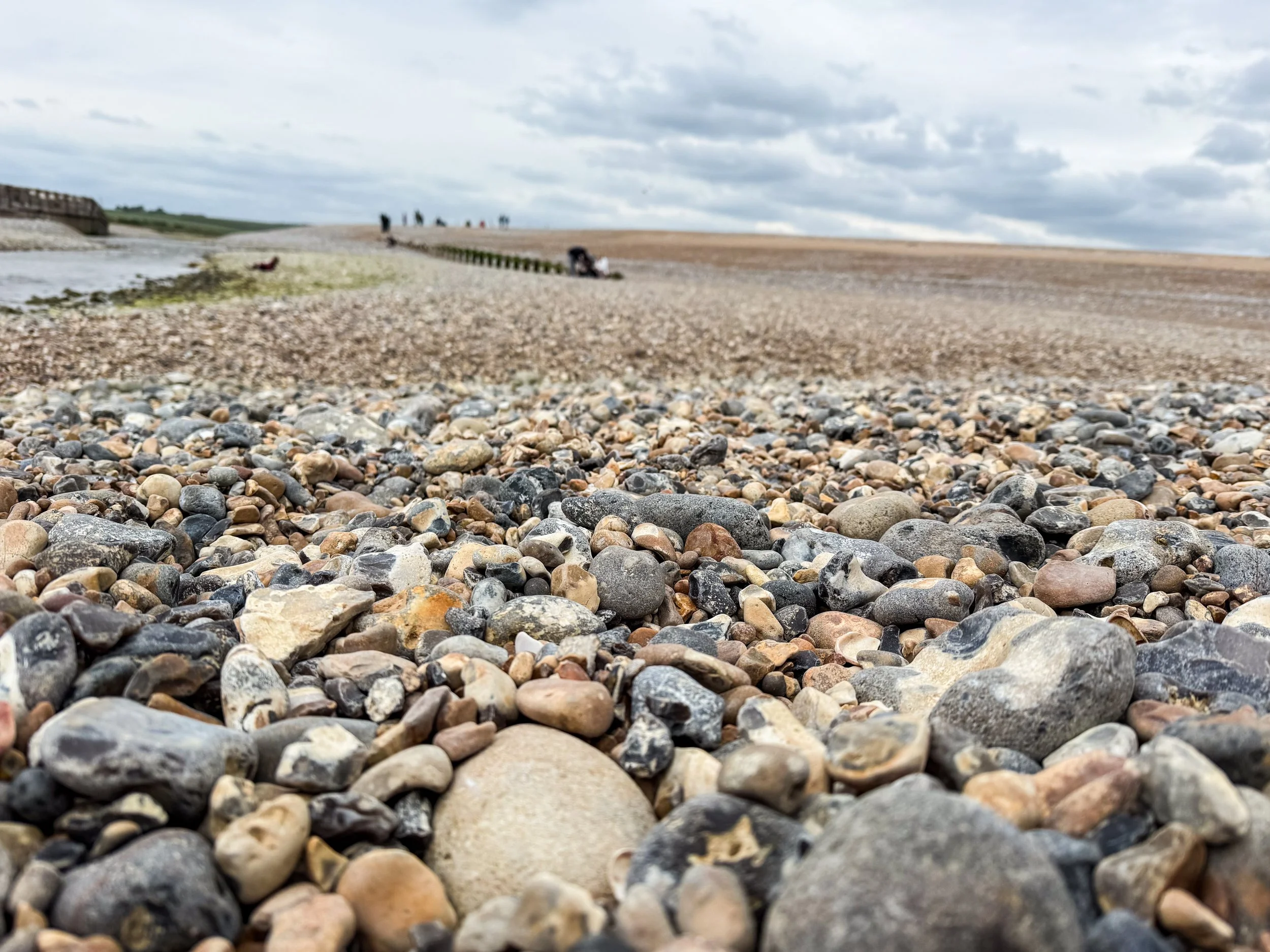
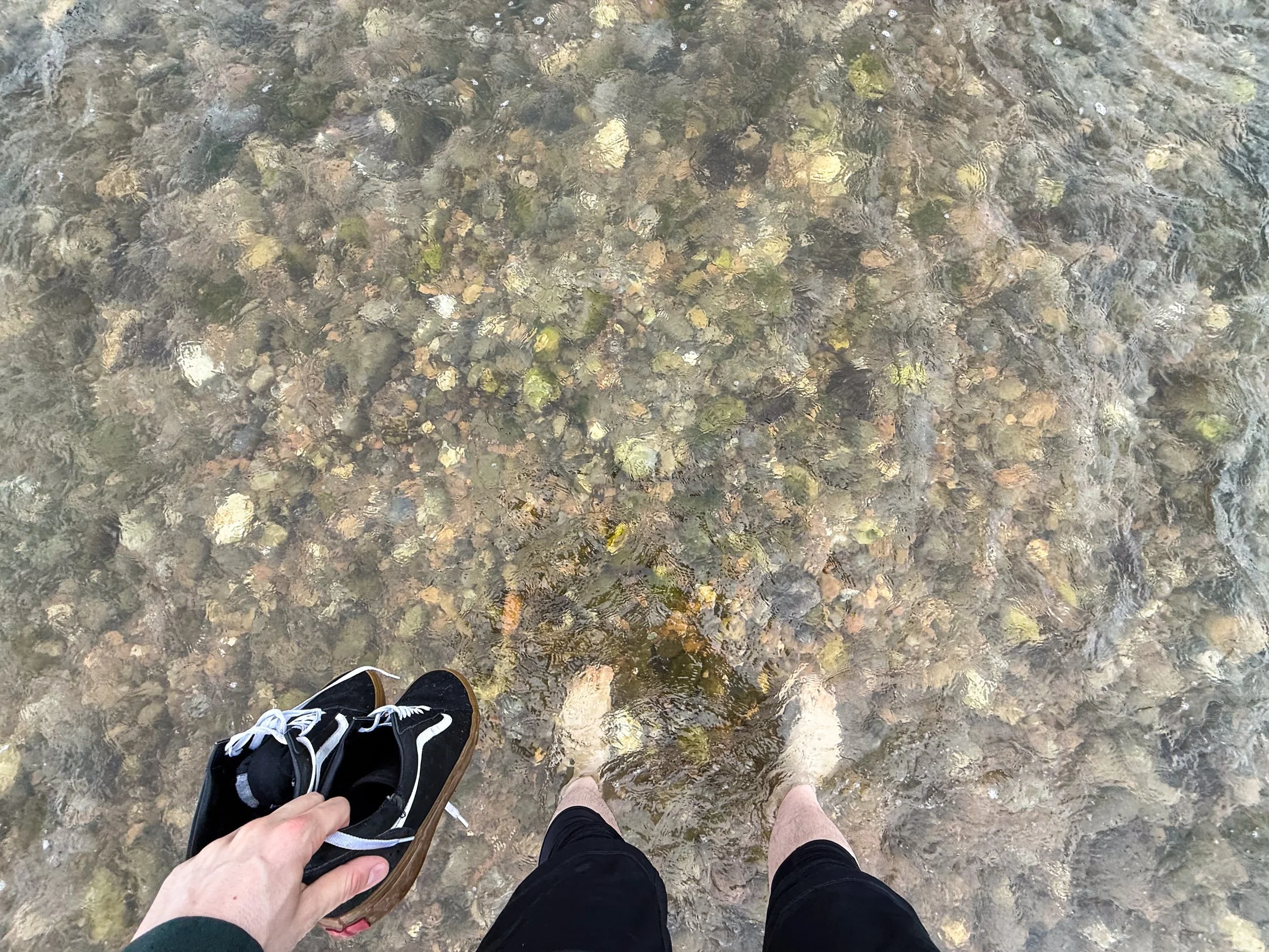
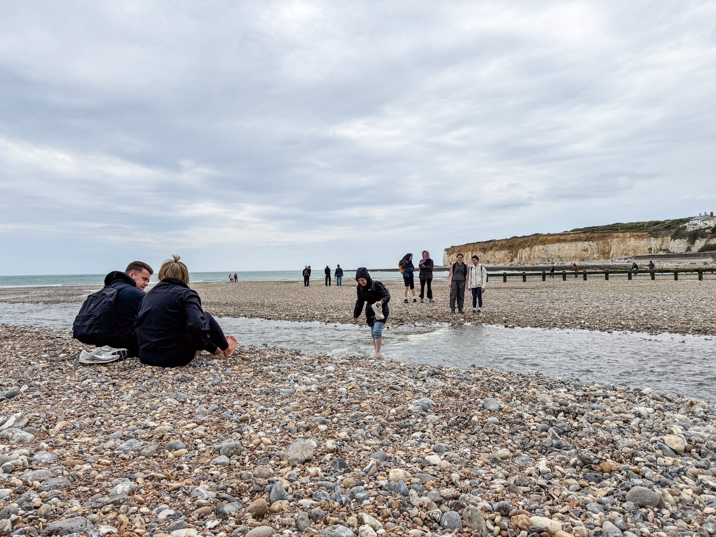
Between Haven Brown and Short Brow, this tower landscape of hills gives way completely for a small river to feed into the ocean. But here’s the catch: there’s apparently no bridge over the river on the trail. I think there’s one farther inland for cars to cross, but it’s too far away to reasonably be considered part of the trail. With nowhere else to go, hikers must cross the river at the place and in the manner of their choosing. Most of us chose to walk out onto the beach in hopes of finding an easy point of crossing, but no such easy crossing presented itself. We removed our shoes, rolled up our pants, and crossed barefoot. This was not the most pleasant experience because the beach consists not of sand, but of large rocks, ranging in size from a peas to potatoes. Unpleasant, but fun!
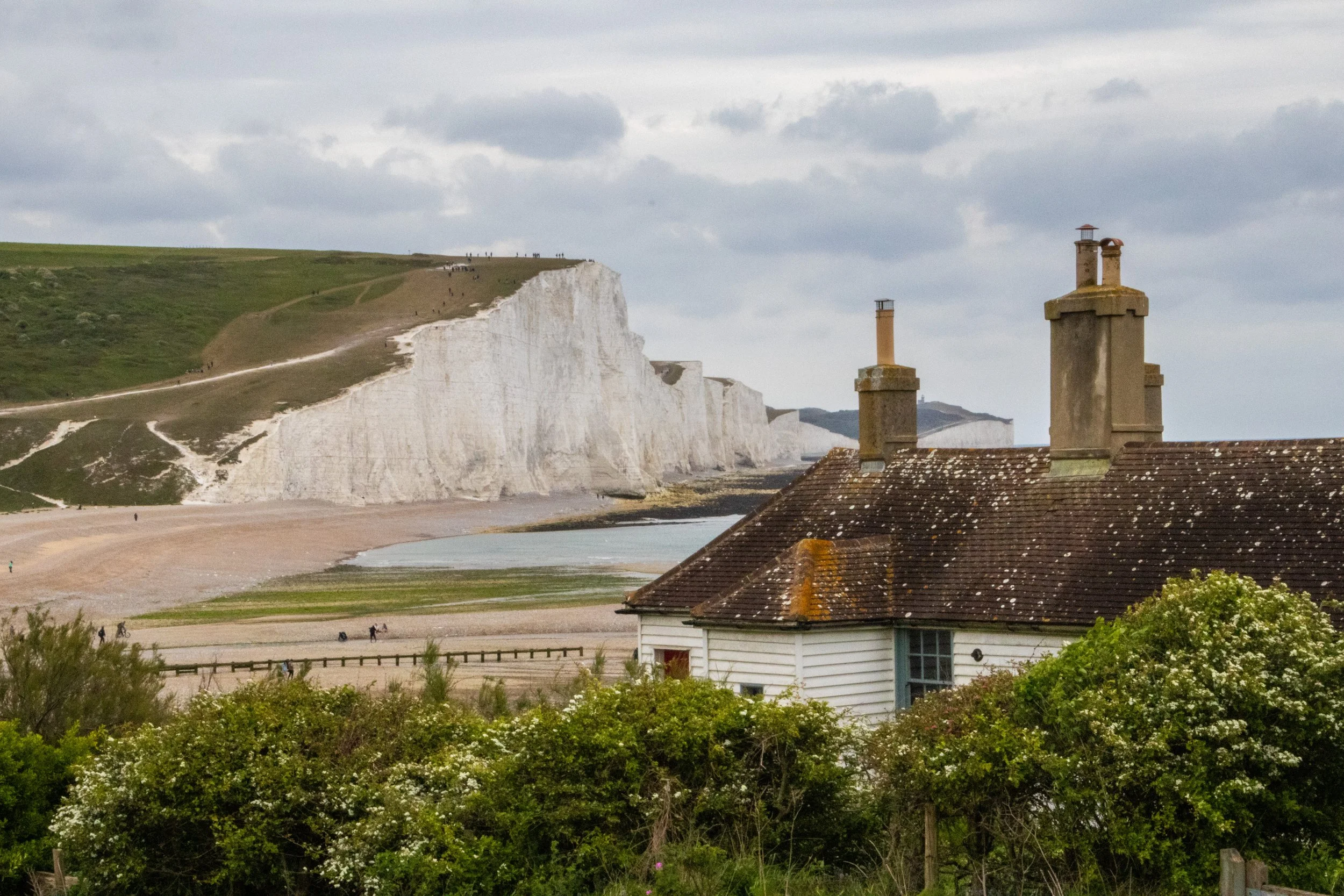
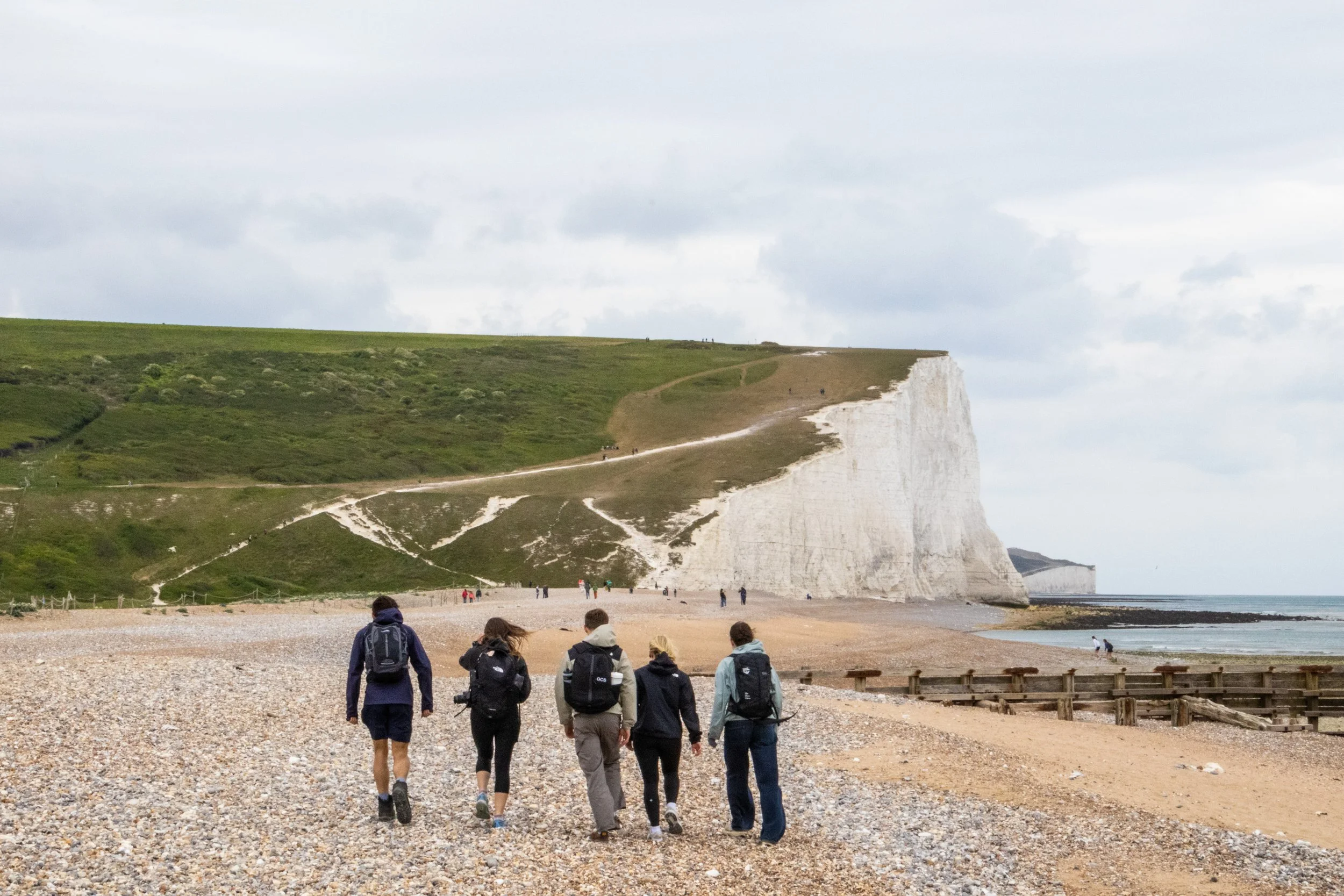
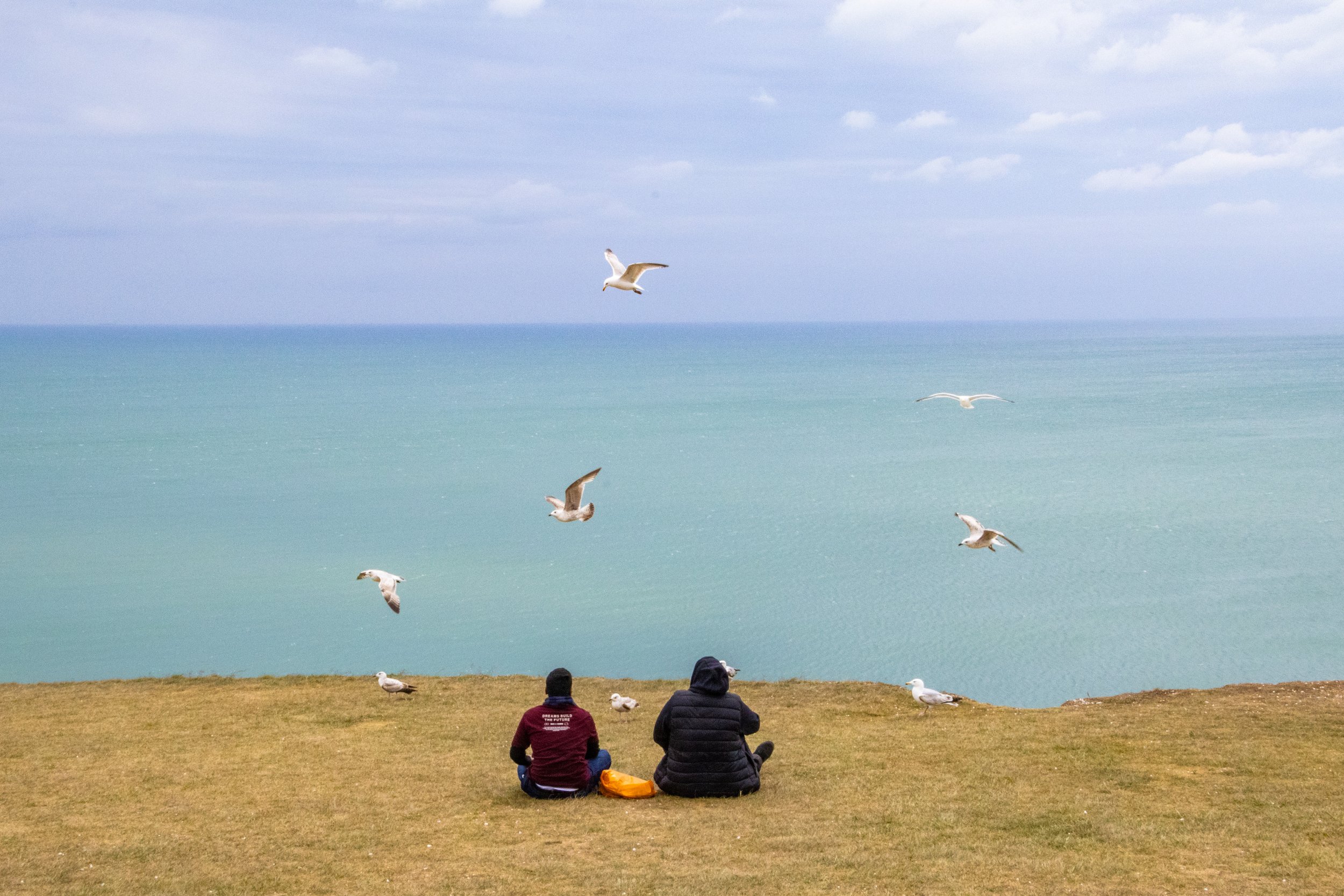
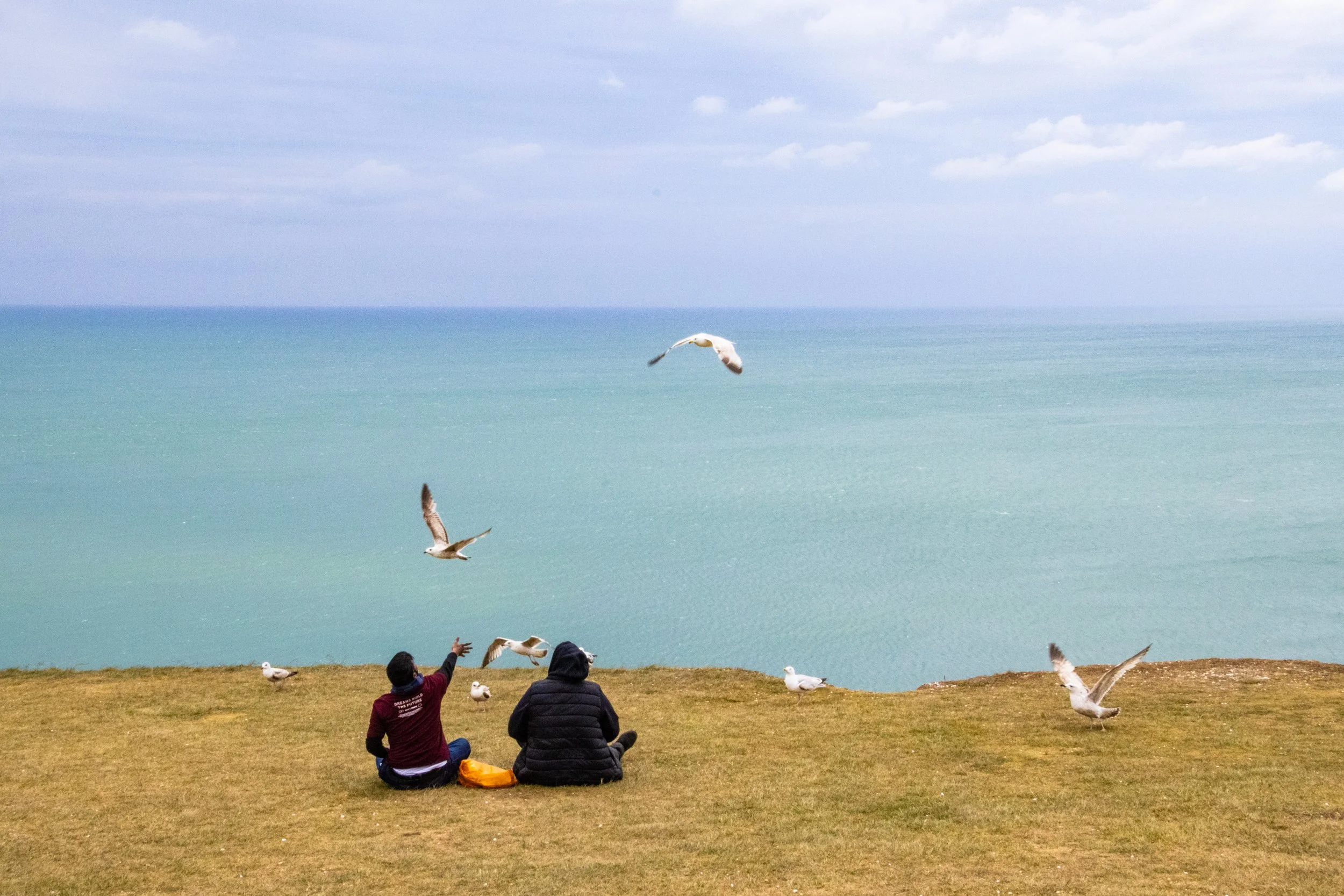
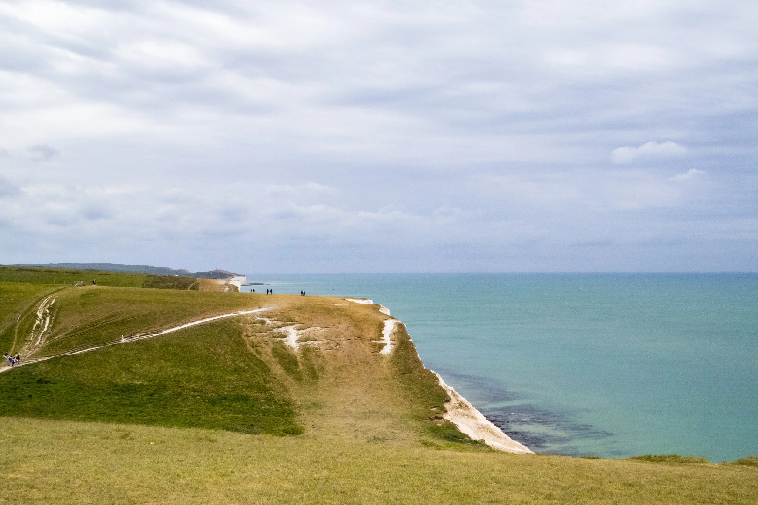
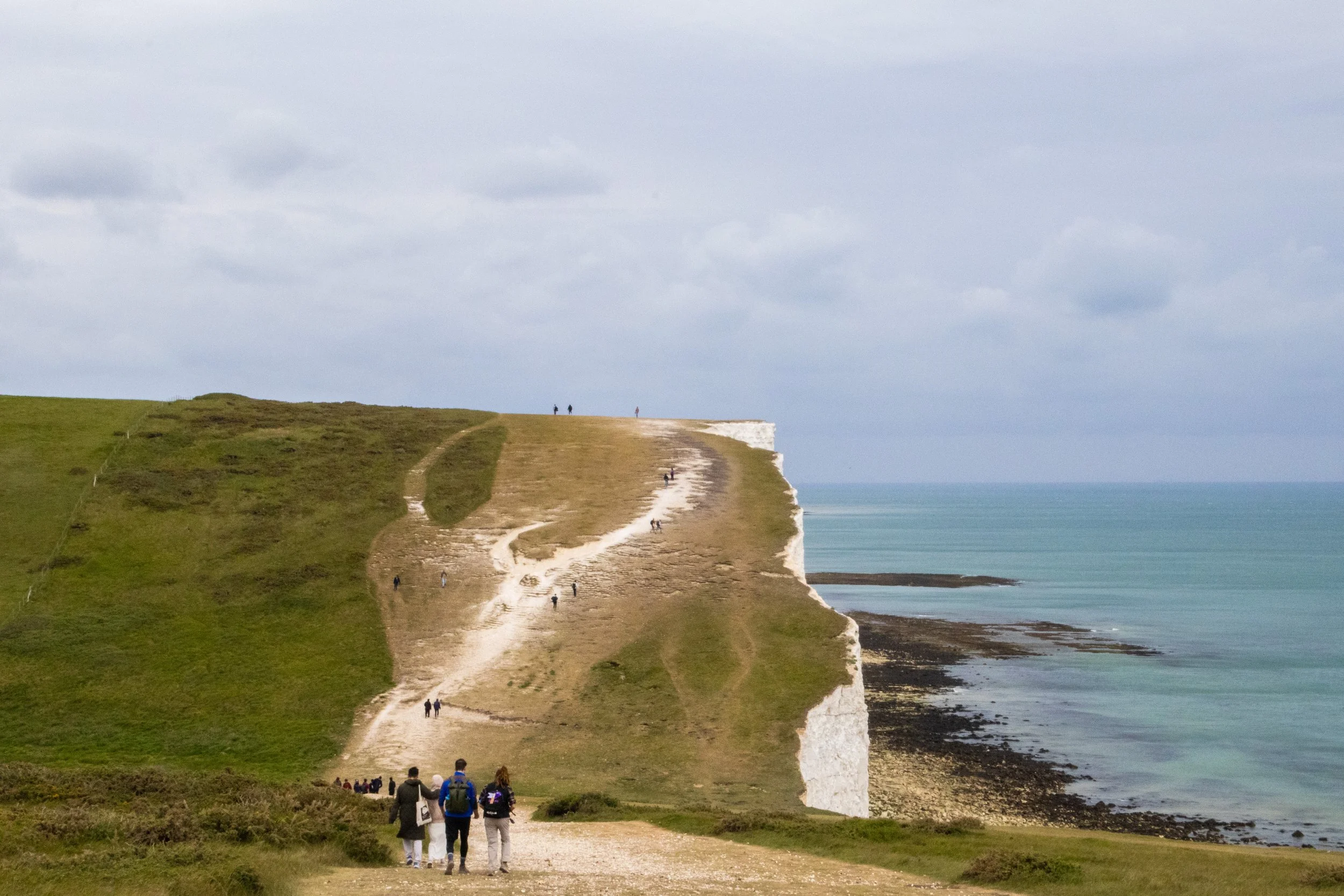
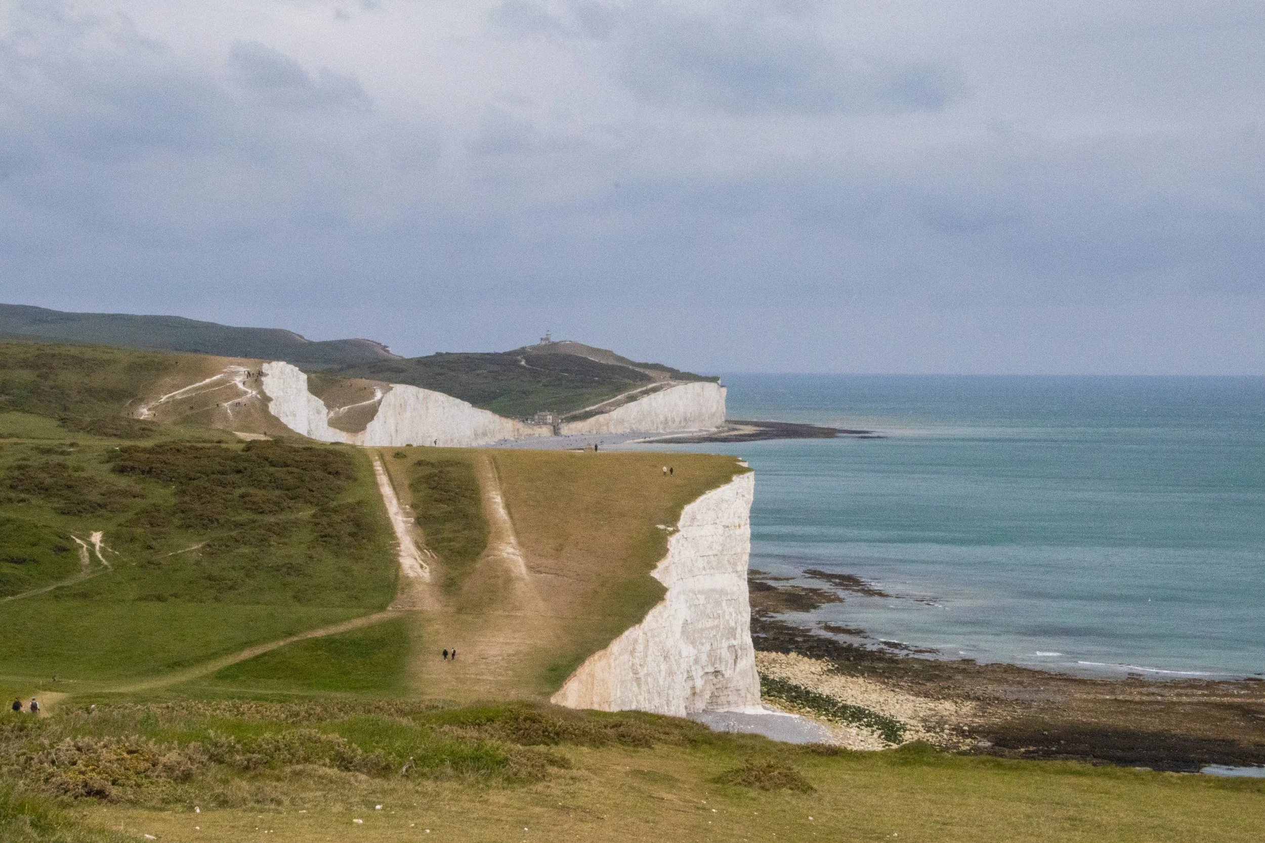
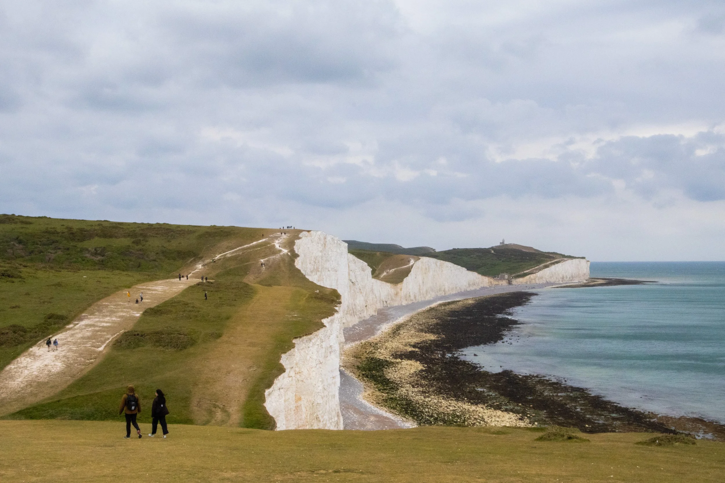
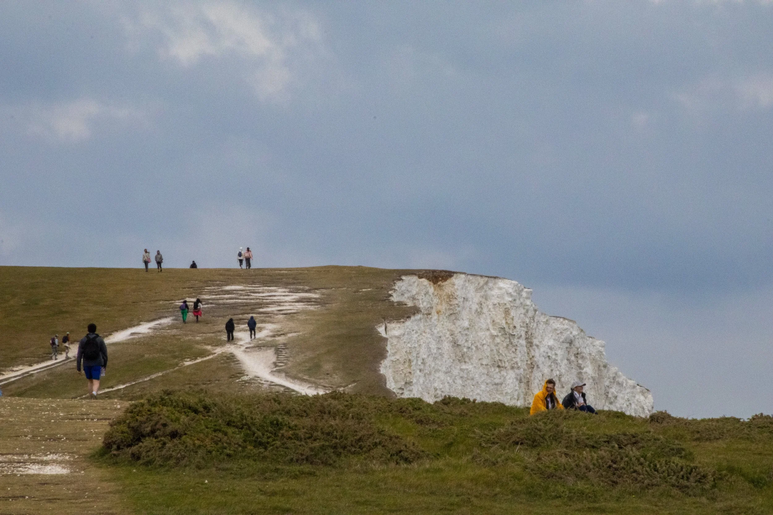
From here, the rest of the Sisters—up to Went Hill Brow—could be hiked without any such river crossings or beach time. It was nothing but gorgeous, chalky, wind-swept greenery. It was a challenging hike, but we’d packed sandwiches in tinfoil for lunch, so we got a nice break sitting on the slopes for an impromptu picnic. This is the typically-recommended move for lunch.
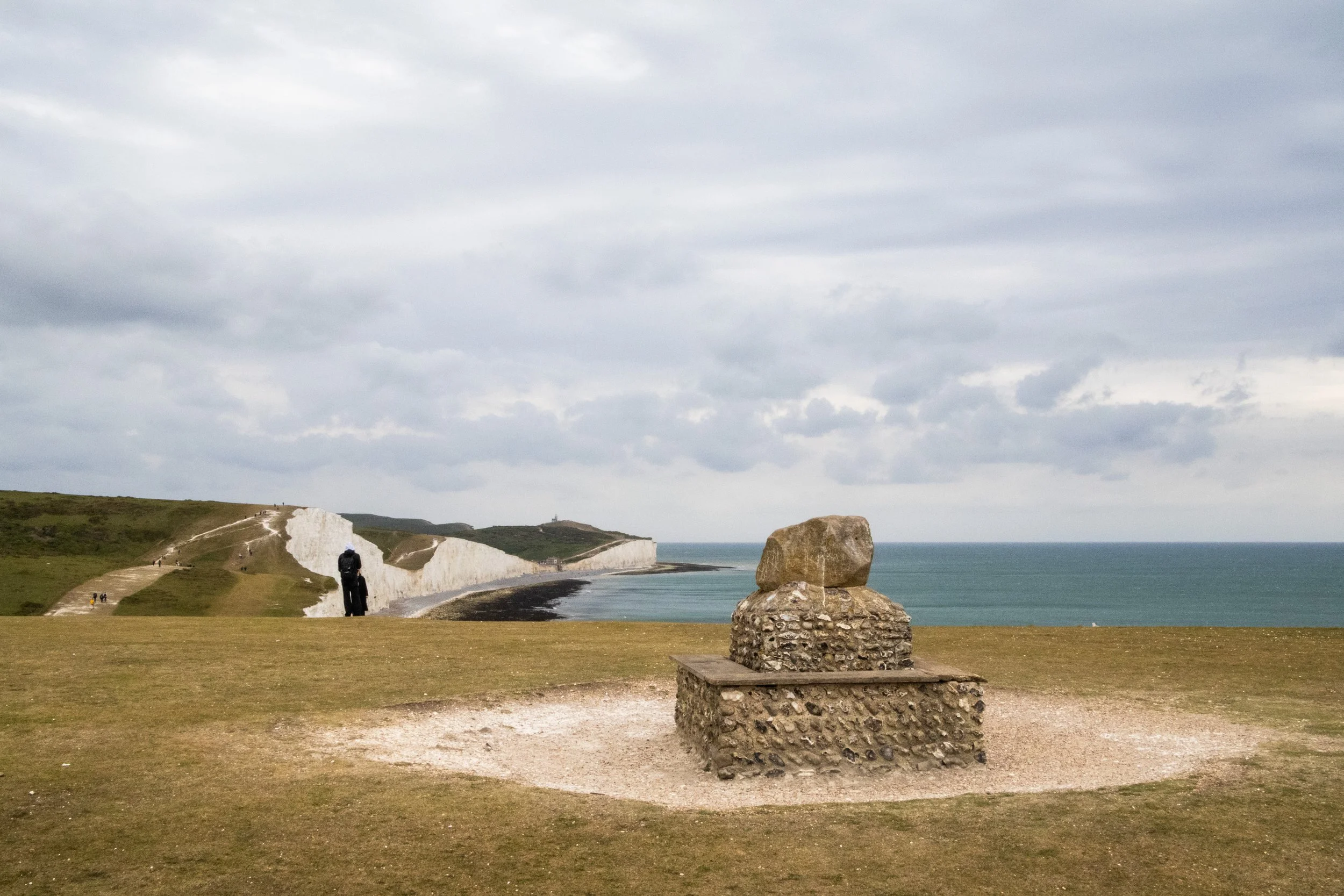
Here are the pictures from this stretch of the hike. It was a gray-ish day (which is the norm here), but it was bright enough that we got to see a bit of teal colo(u)r in the water below, and the cliffs had moments of shining brightly.
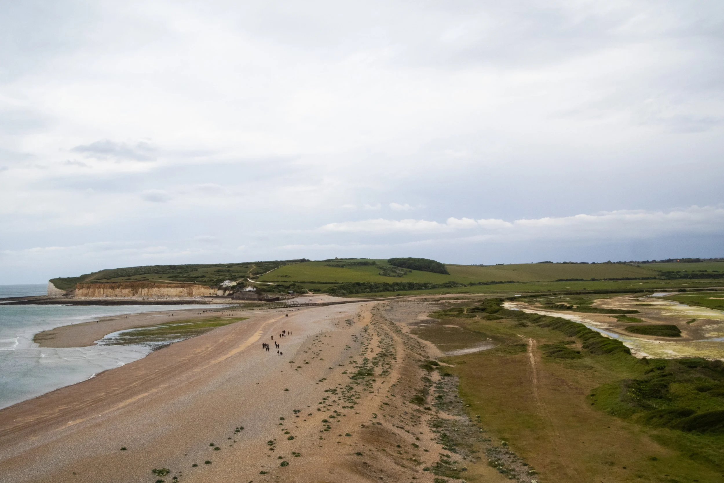
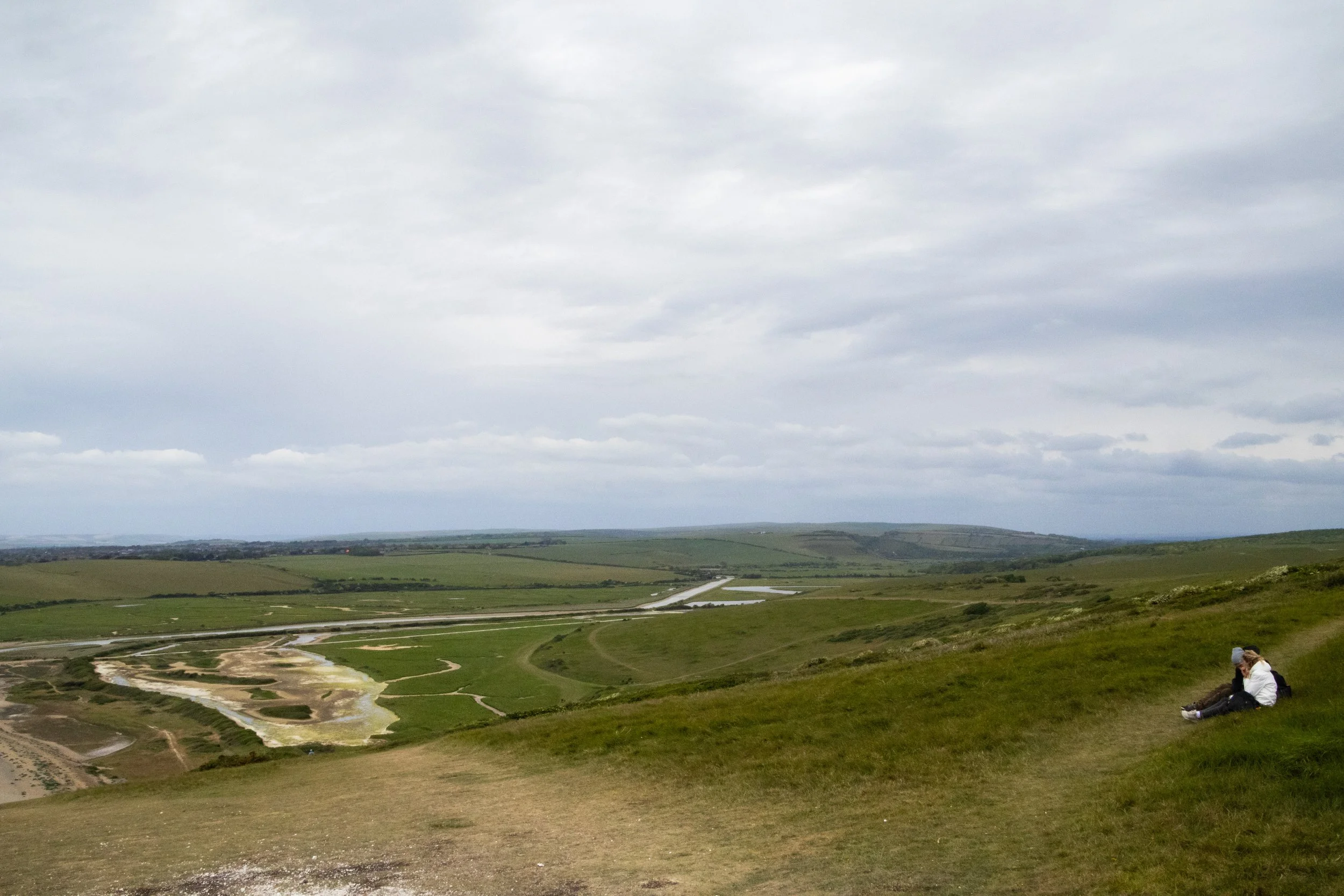
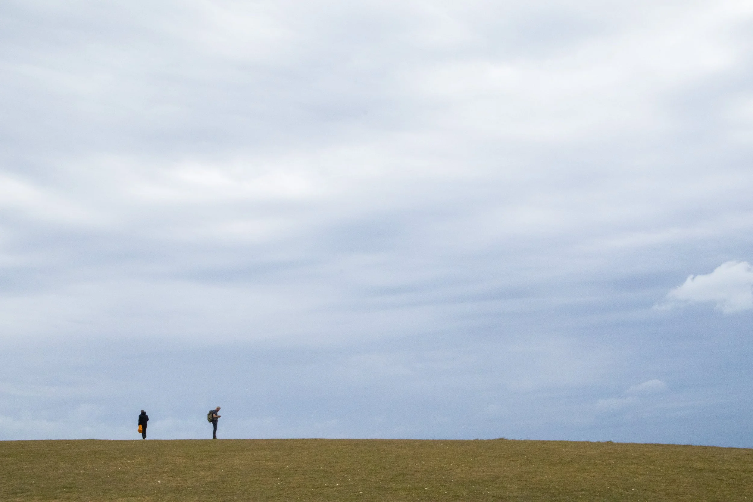
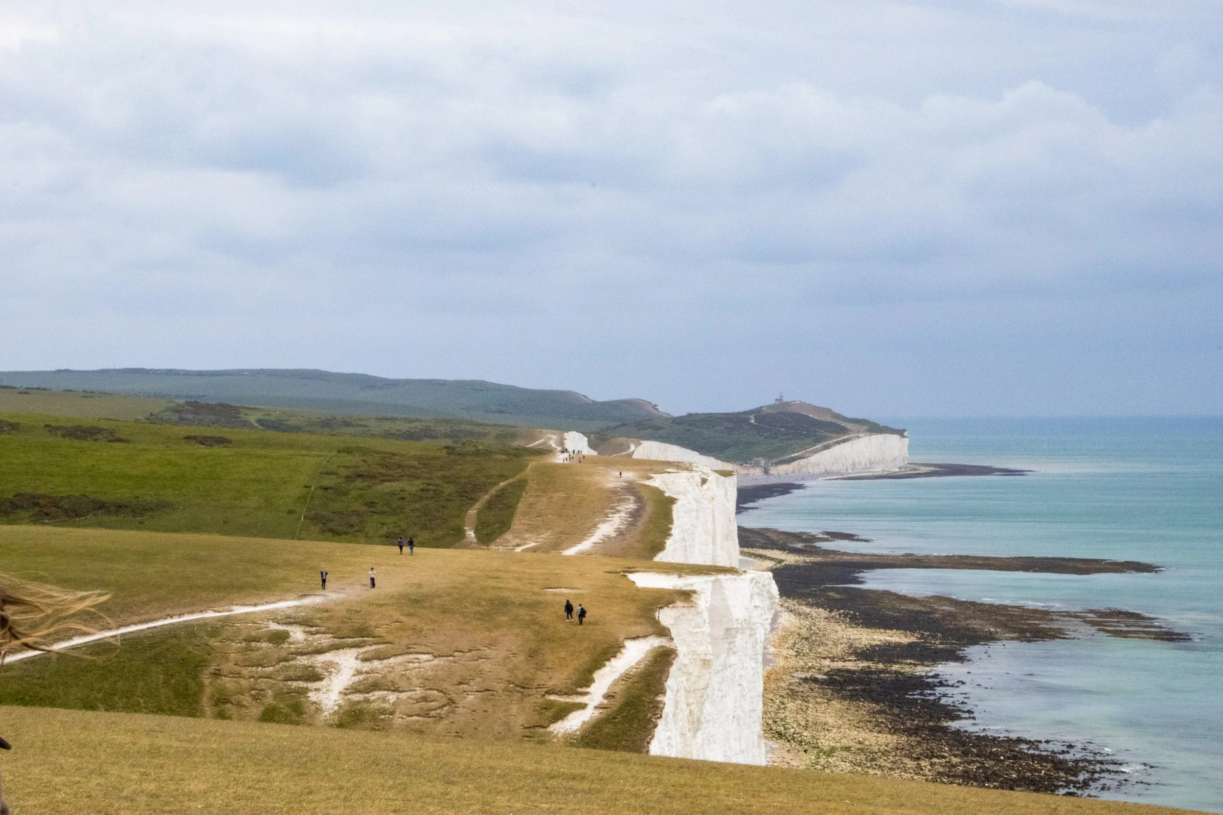
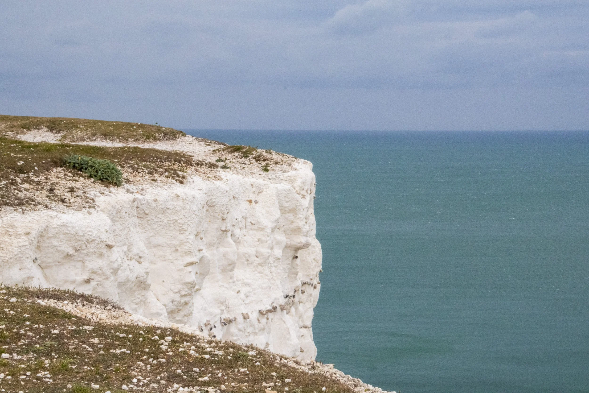
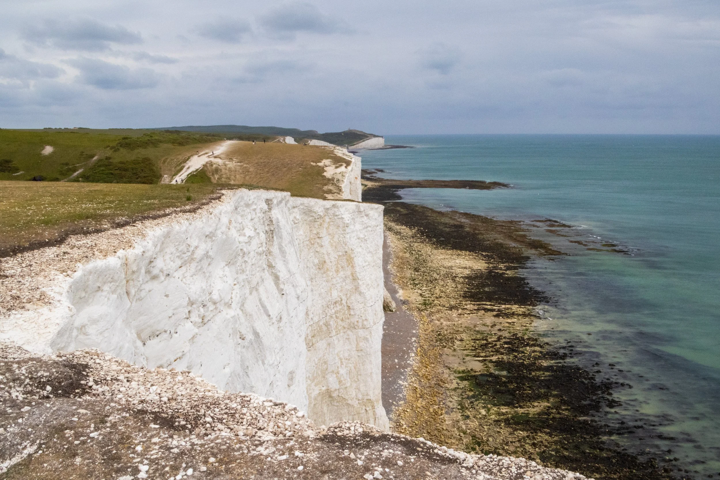
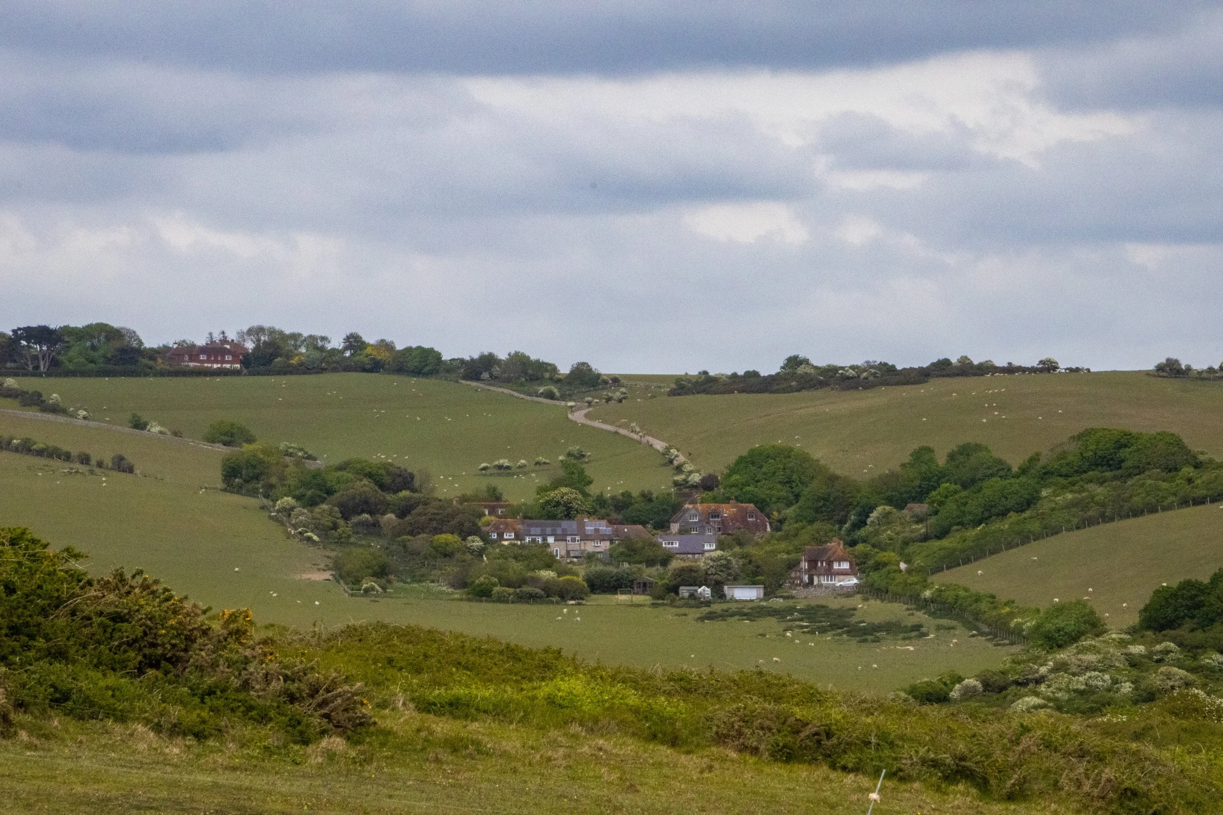
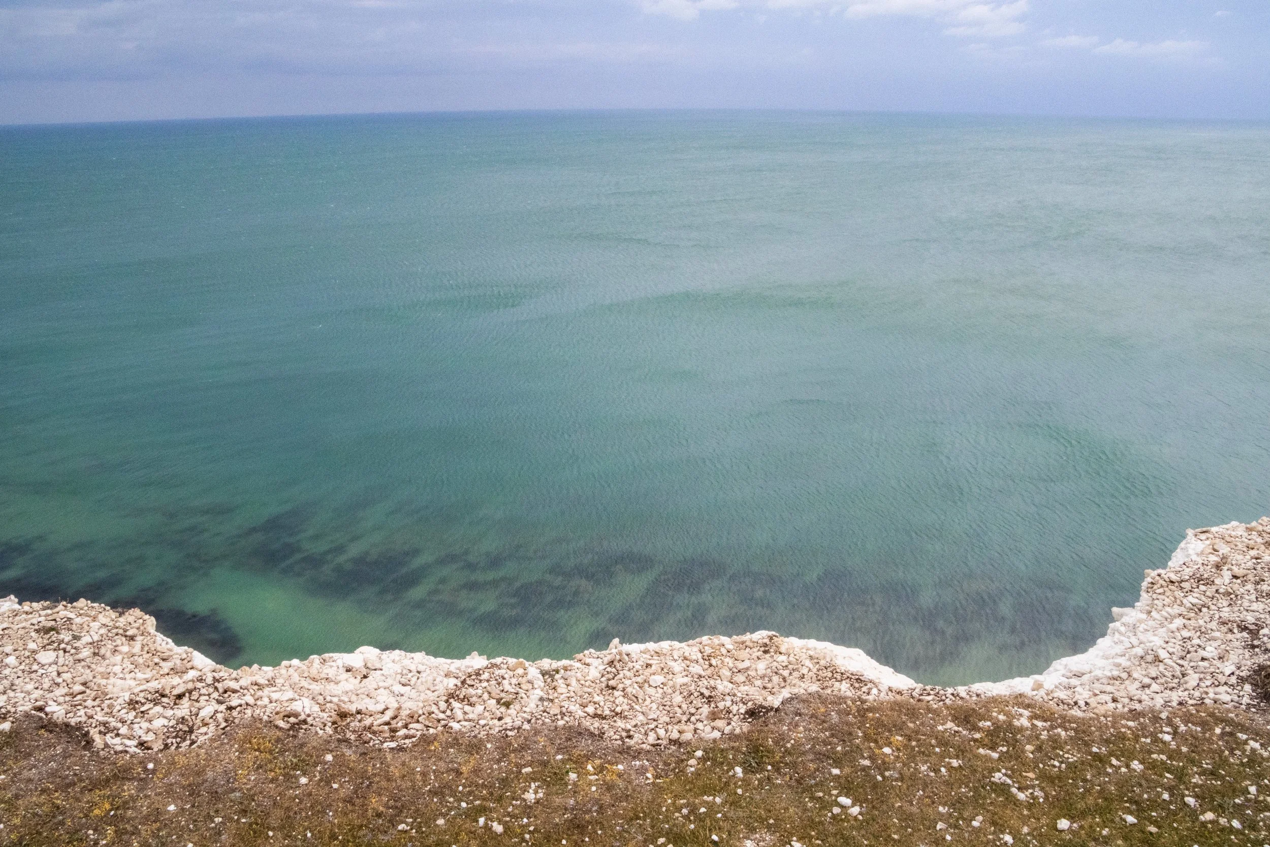
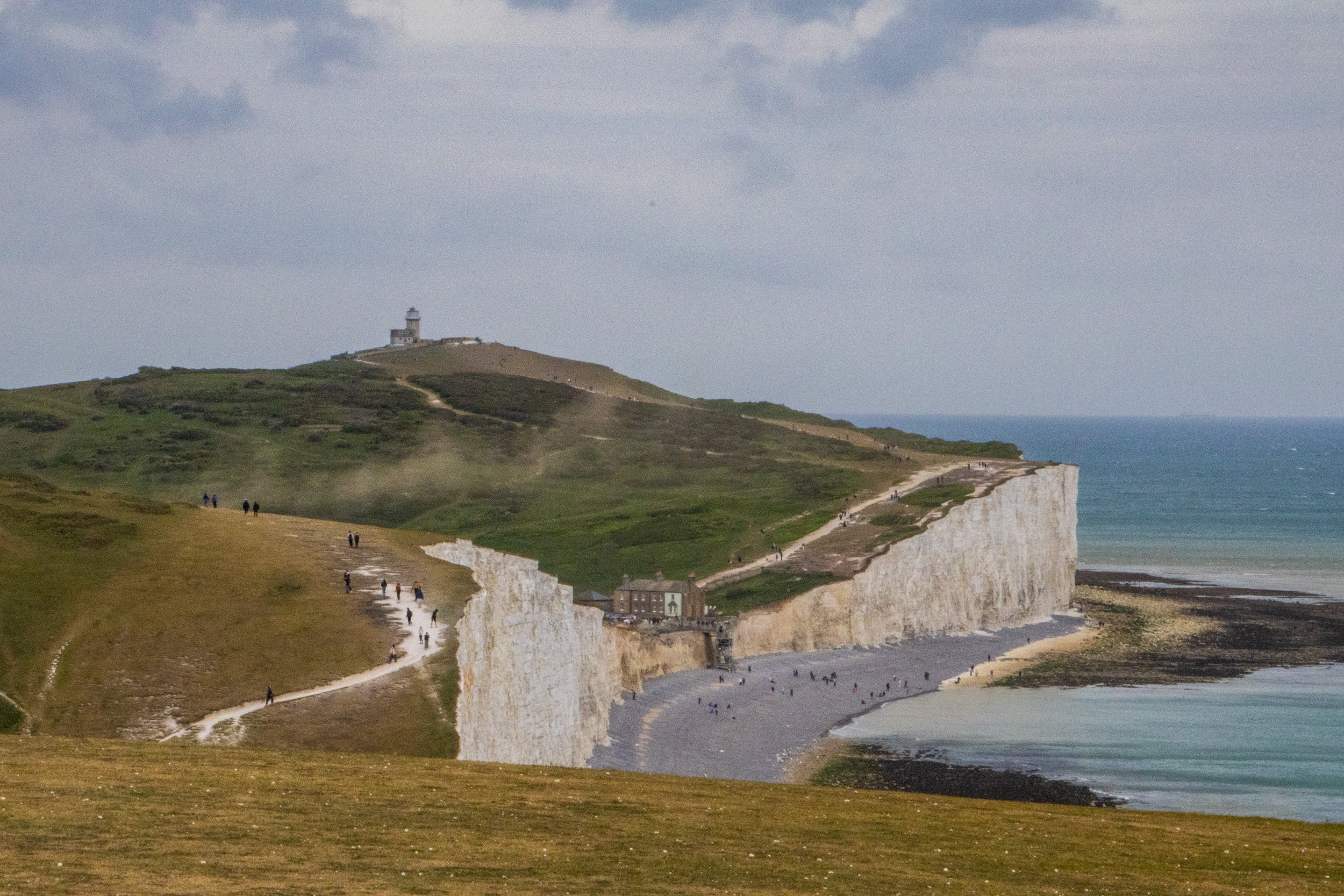
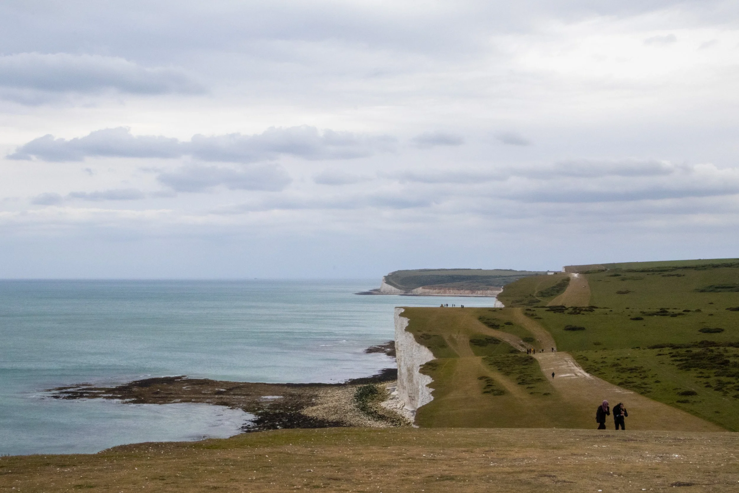
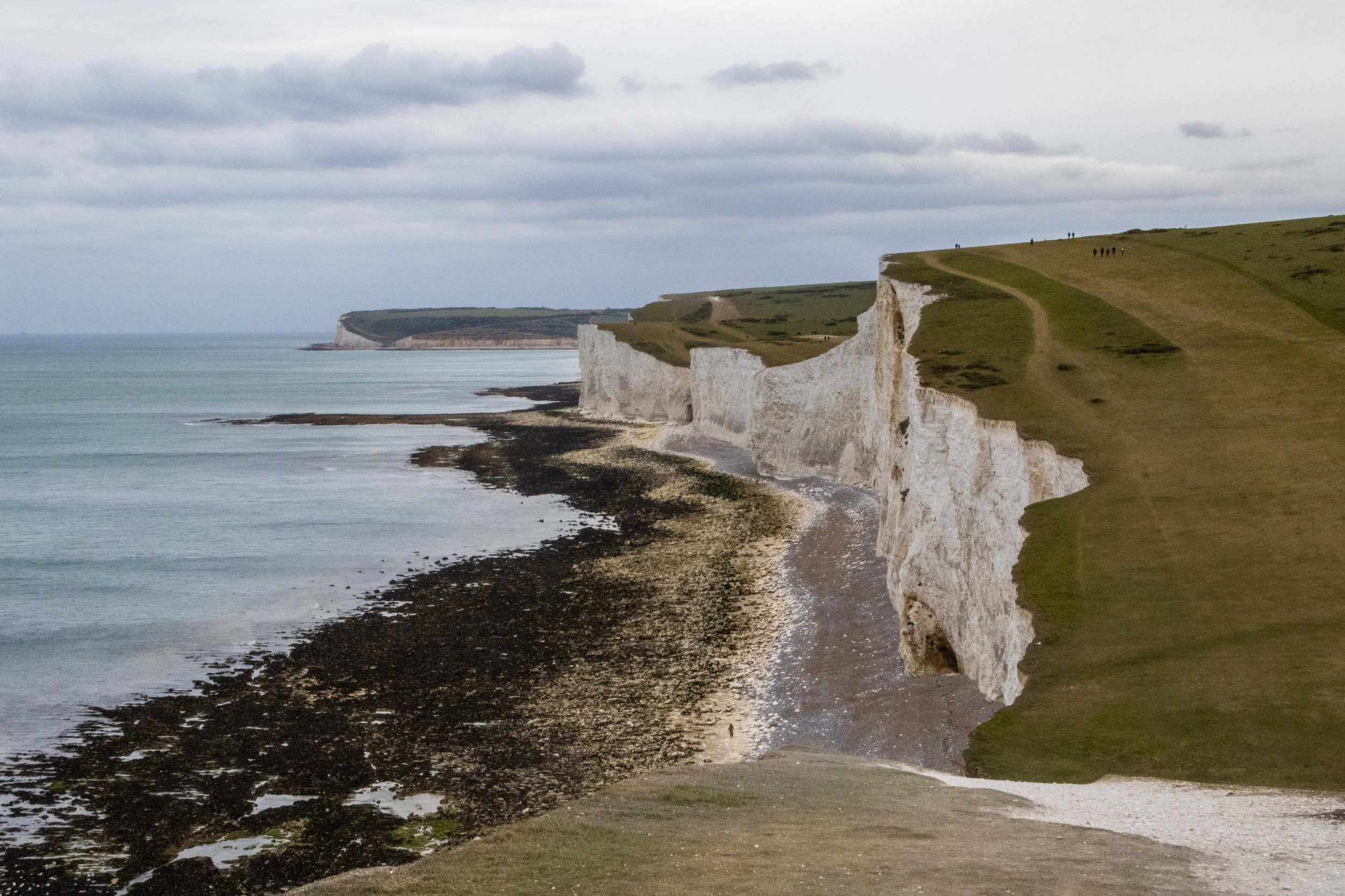
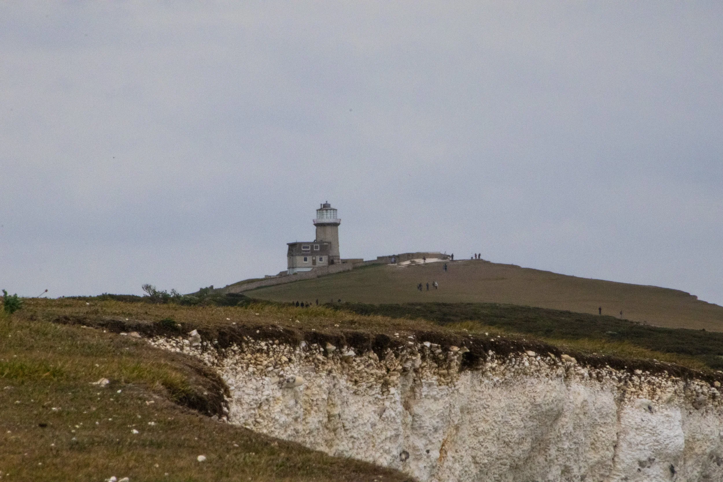
Birling Gap
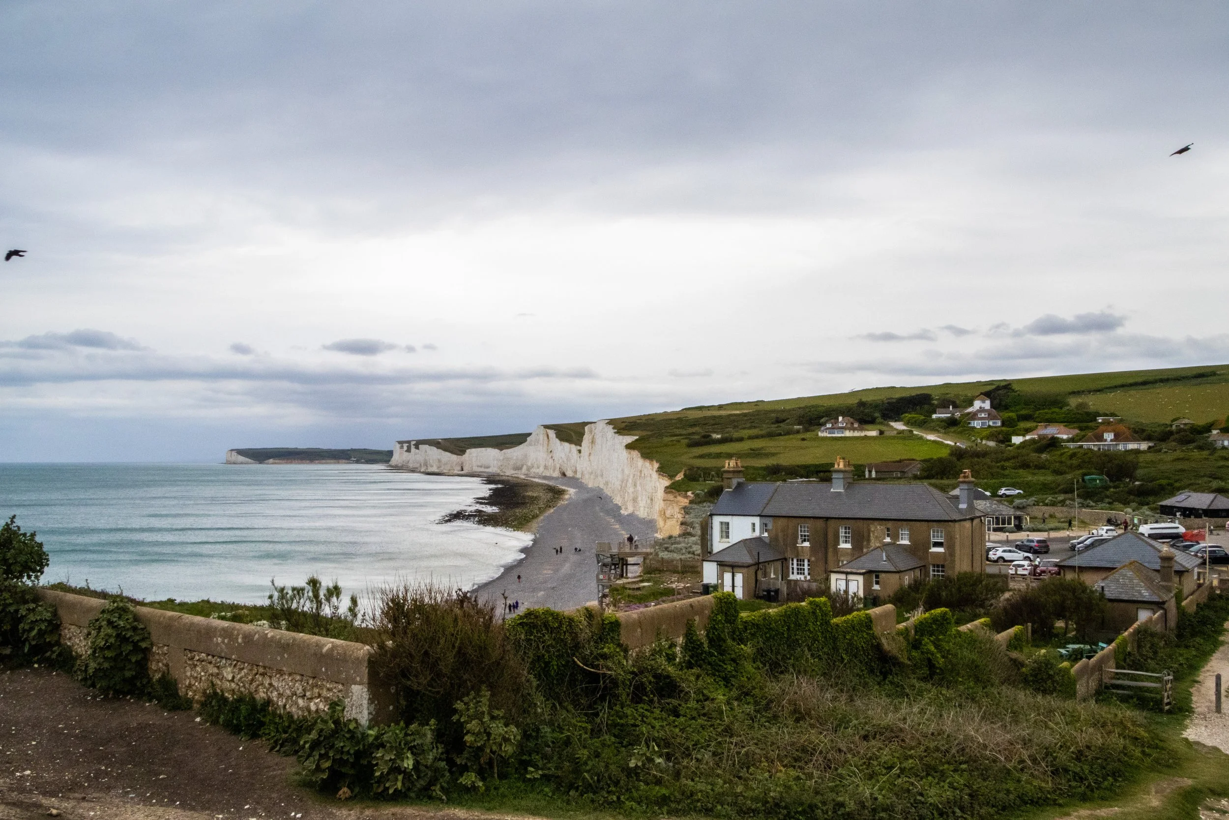
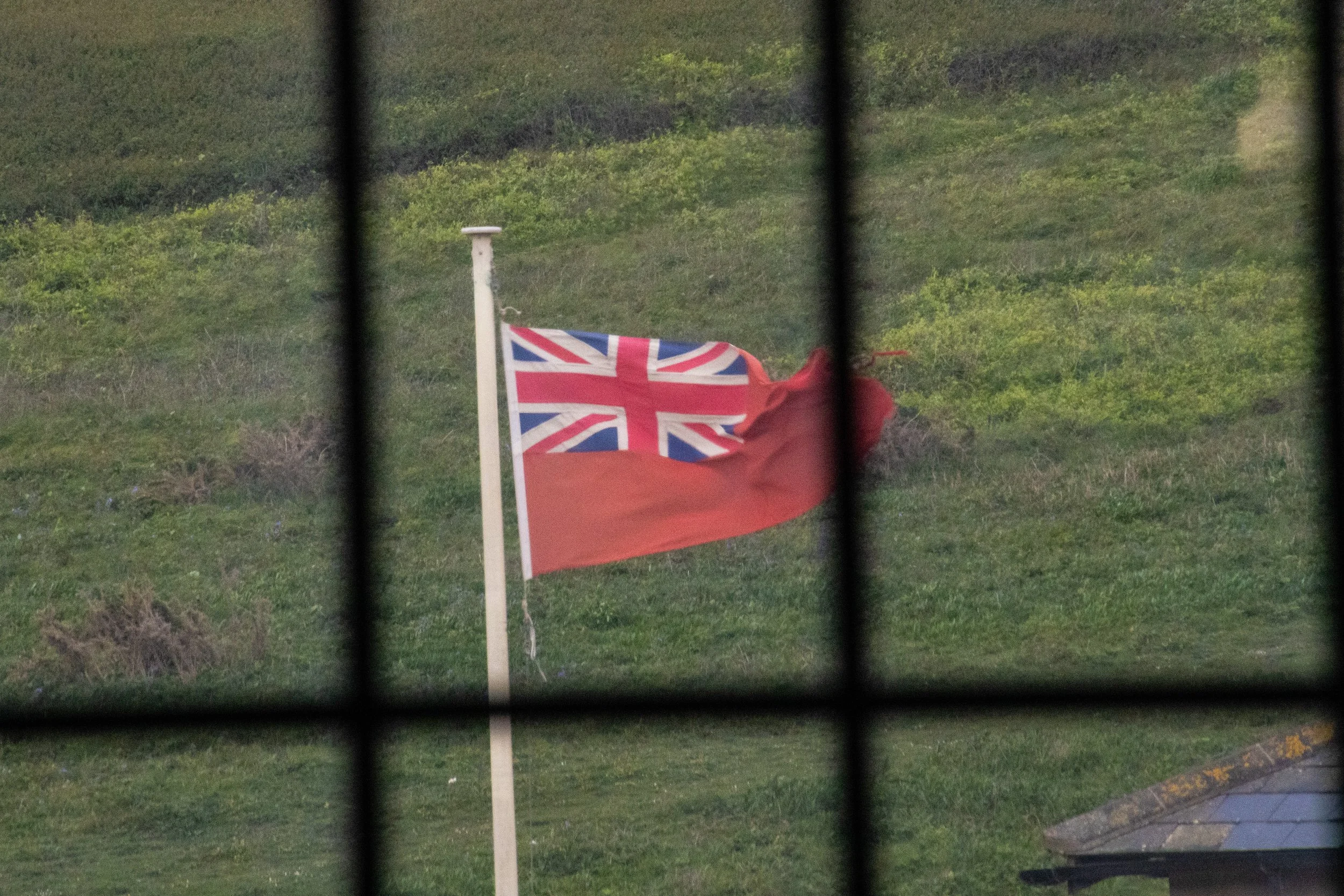
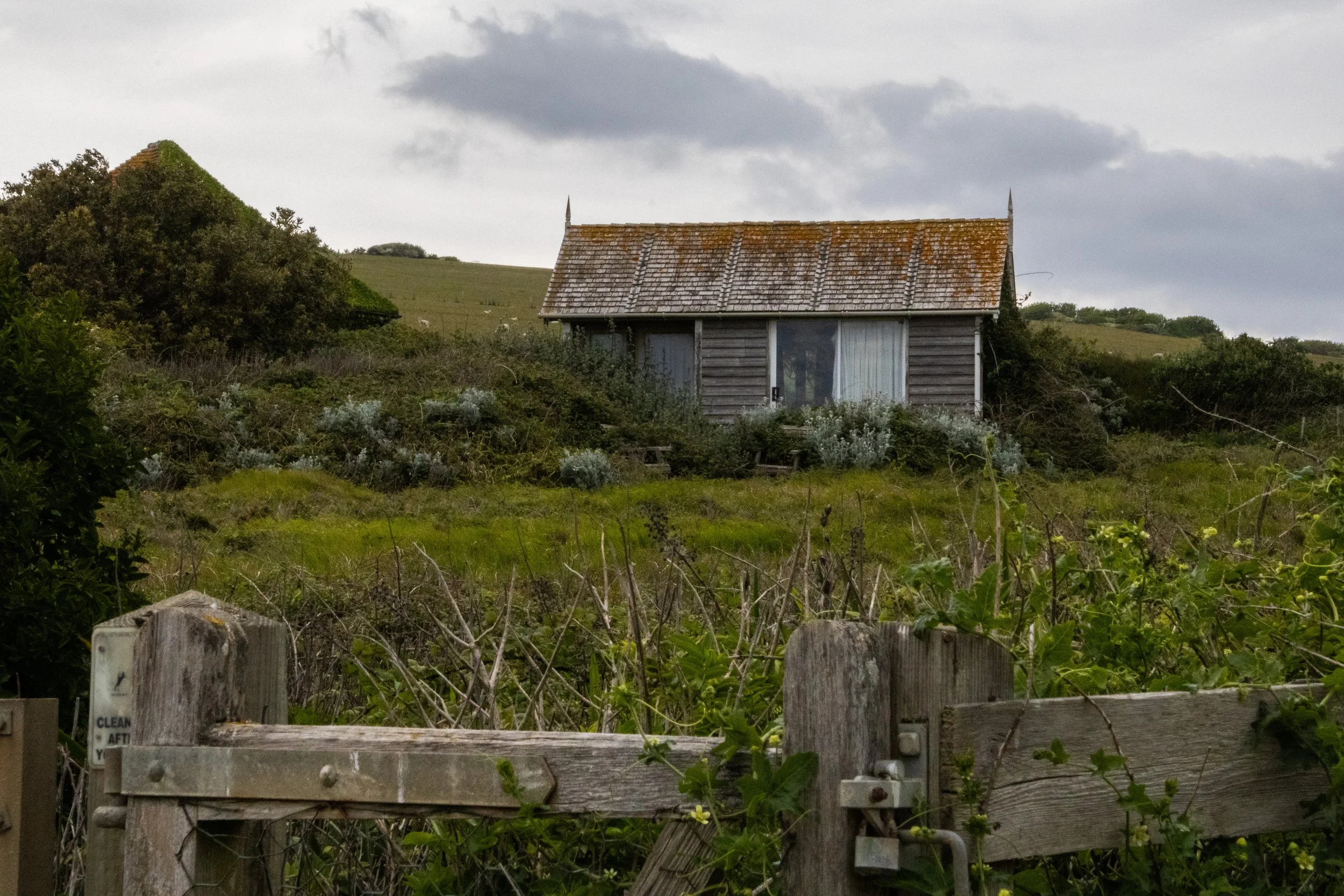
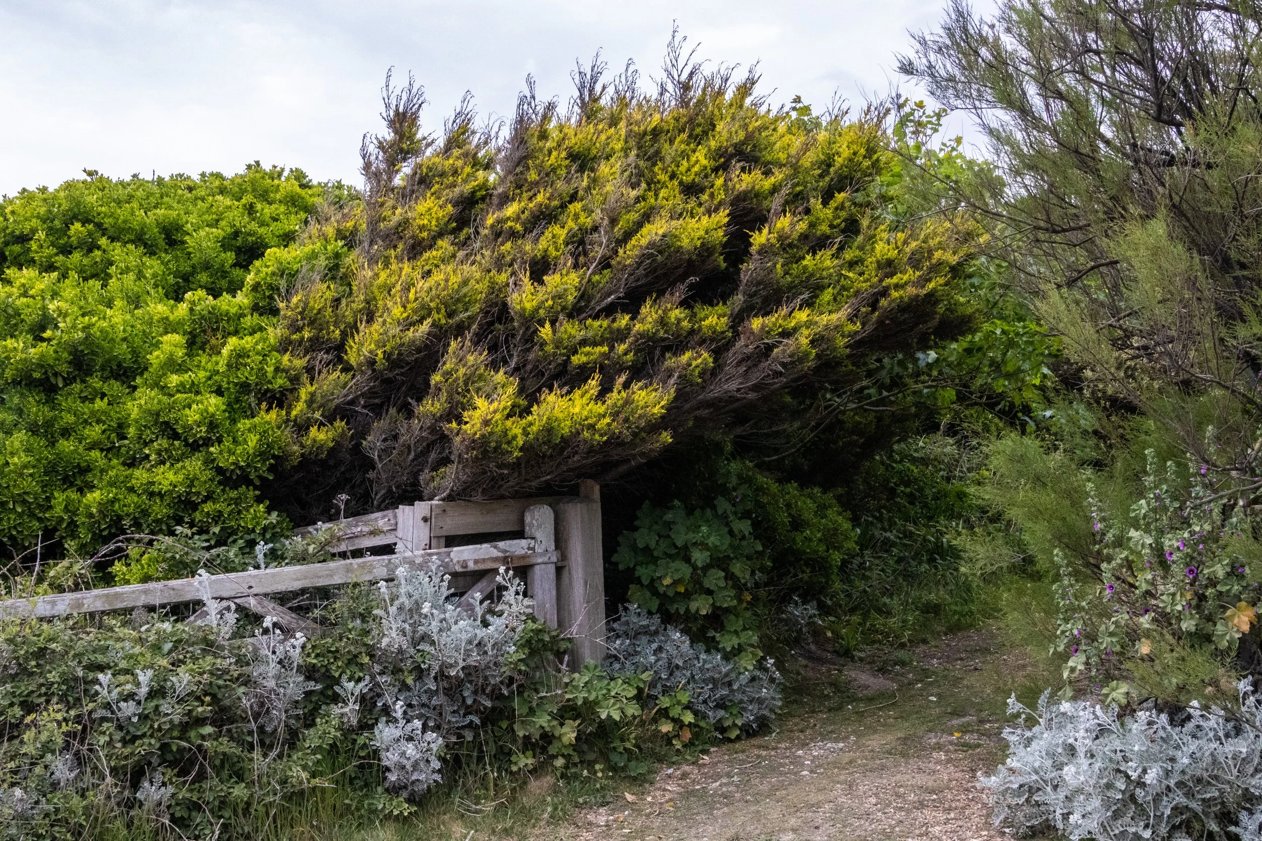
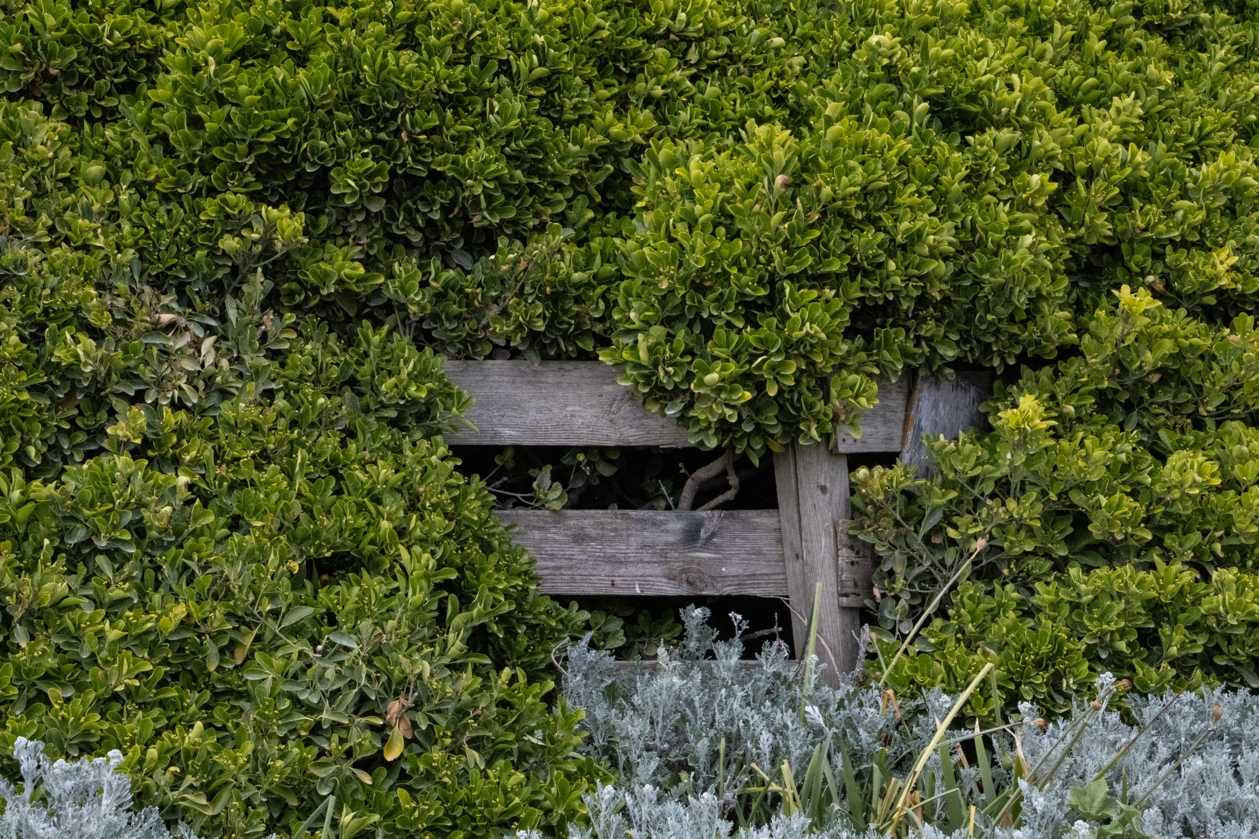
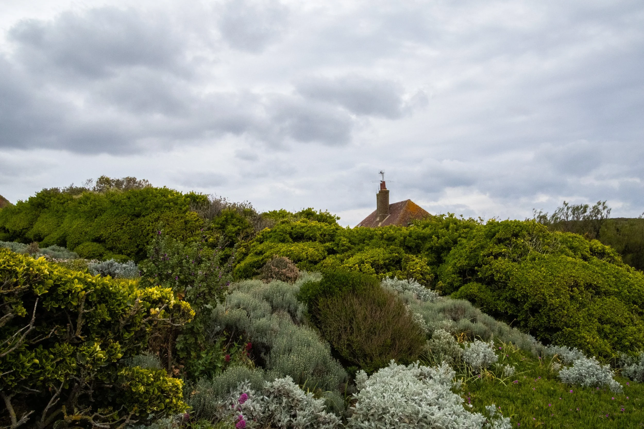
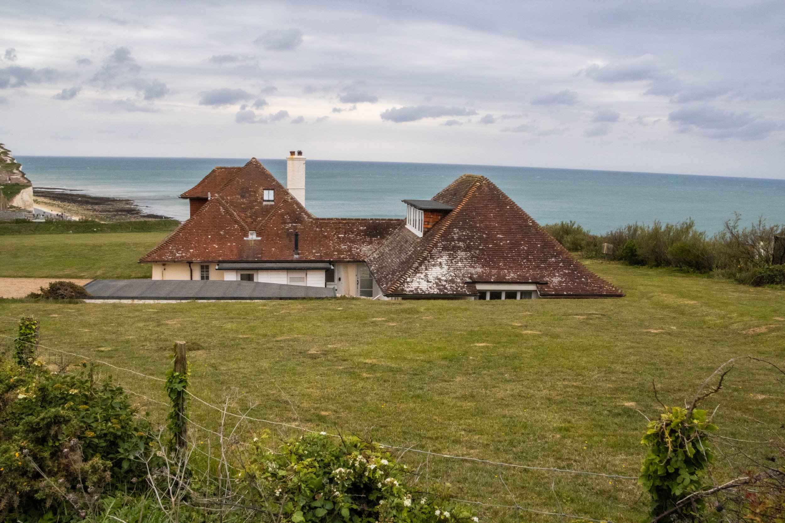
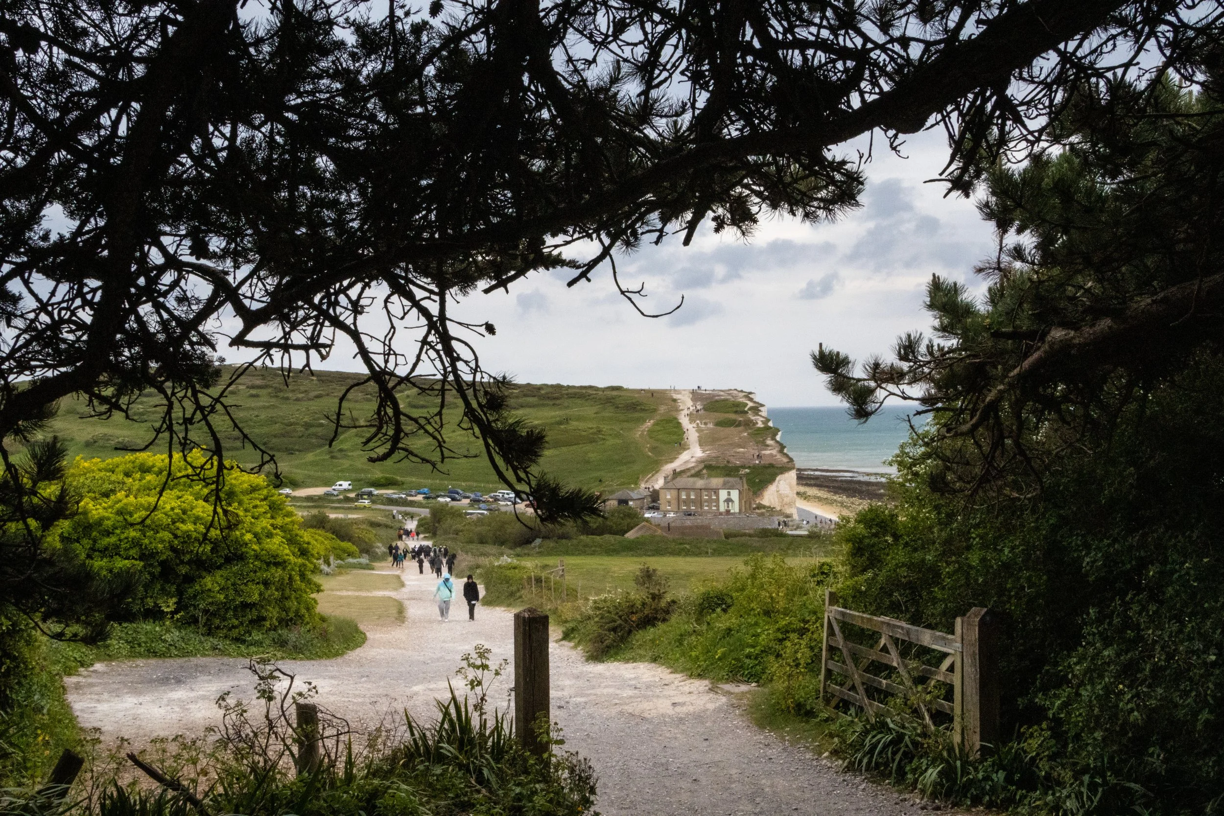
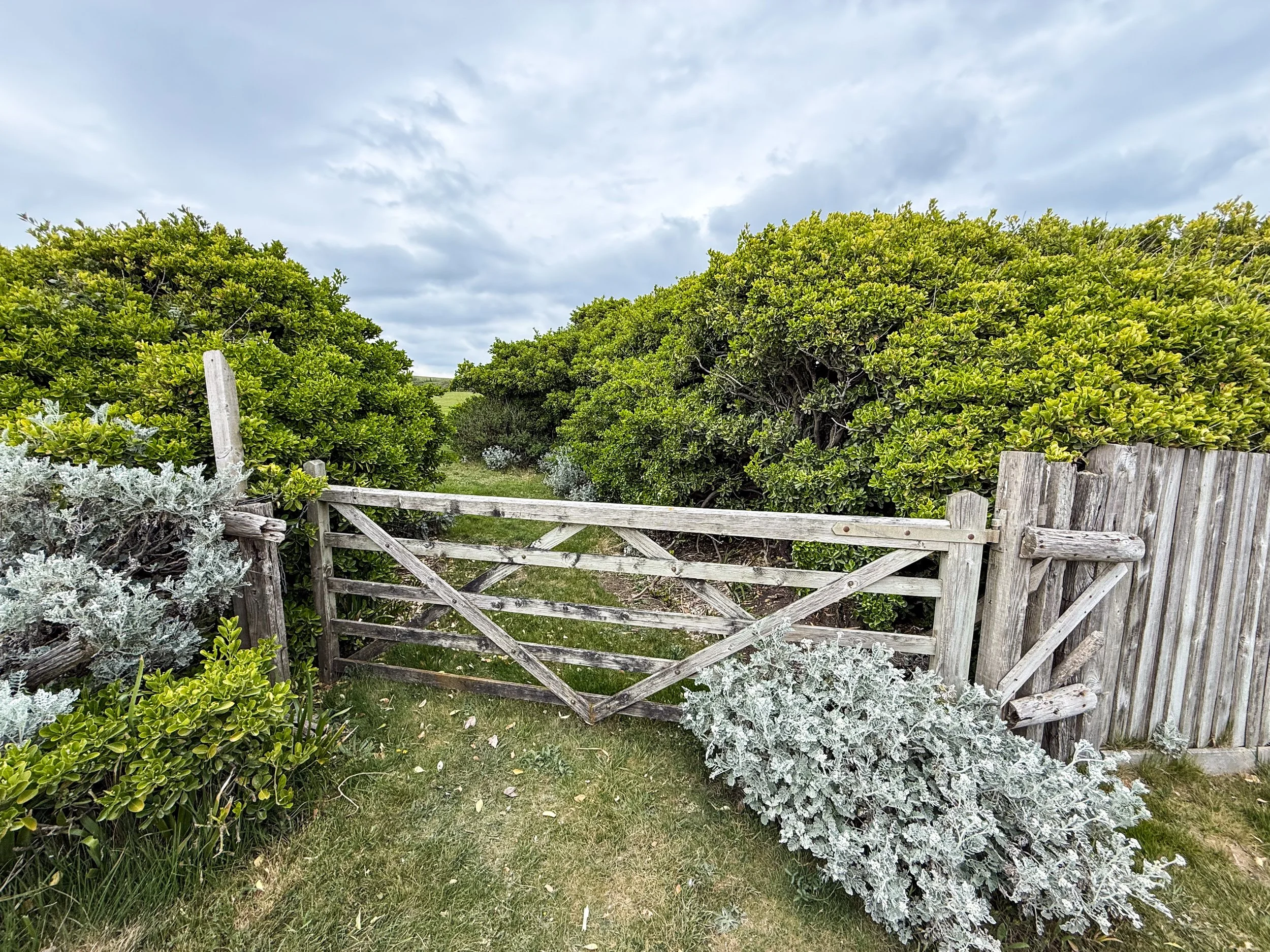
At the end of the 7th Sister / 8th brow (Went Hill Brow), we arrived at Birling Gap. This is another beach location, where the terrain breaks enough for not only to create an accessible beach, but also to construct a visitor center and a parking lot! Here there is road, a bathroom, a café, and a small museum with some historical and geographical information about this area. Outside, the standard British Red Ensign, also called the “Red Duster” (pictured in gallery below), flapped violently in the wind. This is traditionally flown by British civilian and merchant boats. 200 years ago, the waters around Seven Sisters would have been chalk-full (see what I did there?) of hundreds of vessels all flying the Red Ensign. Indeed, these white cliffs had long been a famous visual waypoint for captains entering or leaving the English Channel. The South Downs were also useful in 18th century smuggling and played a major role in Britain’s defenses against a potential Nazi invasion during WWII. Interesting stuff. Also, please appreciate some of the hardy, wind-swept vegetation pictures in this gallery. I found the plant life here to be quite enchanting.
Beachy Head
At this point, we had choice to make: catch a bus from Birling Gap to Eastbourne, or hike the rest of the way. We naively chose the latter and soon learned the hard way that the final cliff between us and the train station, Beachy Head, is Britain's tallest chalk sea cliff. Standing 162 m (531 ft) above the sea, Beachy Head is actually not one of the Seven Sisters, as it is a completely separate headland, but it’s incredible! However, it’s also got a long stretch of continuous incline that has me seriously questioning my life choices by the time we got to the top. The fact that we were walking directly into gusting, unrelenting wind did not make things easier. It was anger and spite toward the natural elements around me that got me through this final stretch.
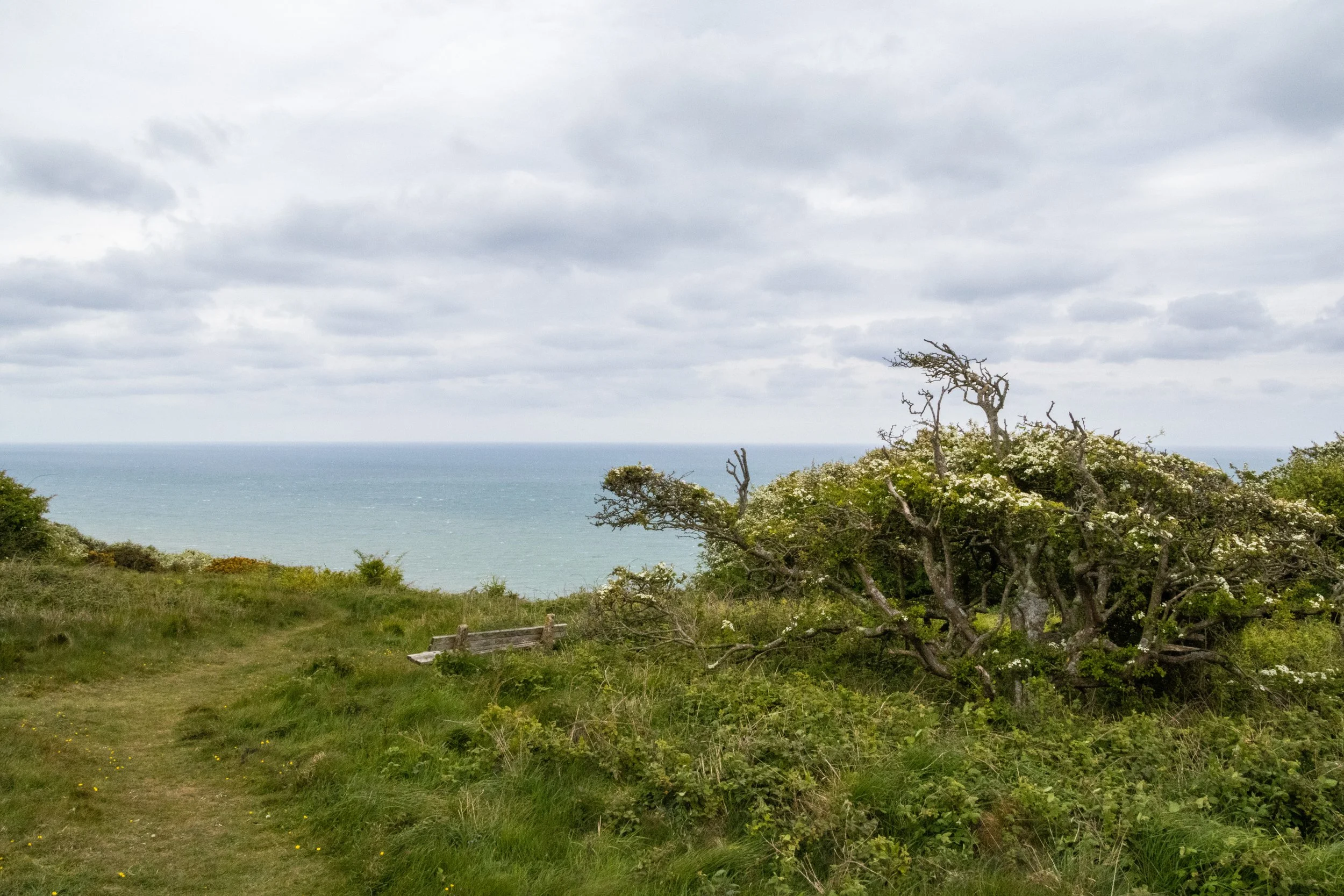
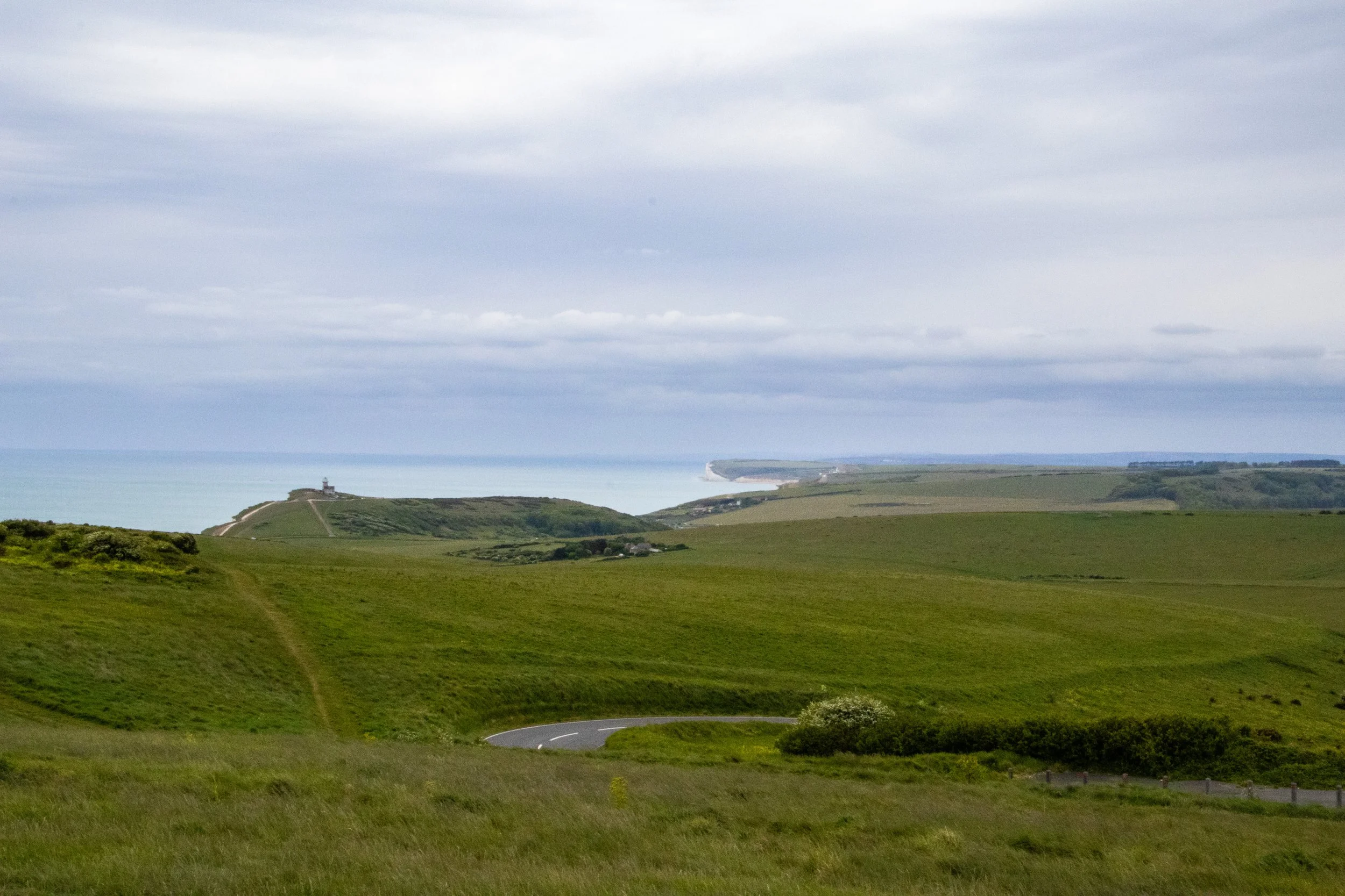
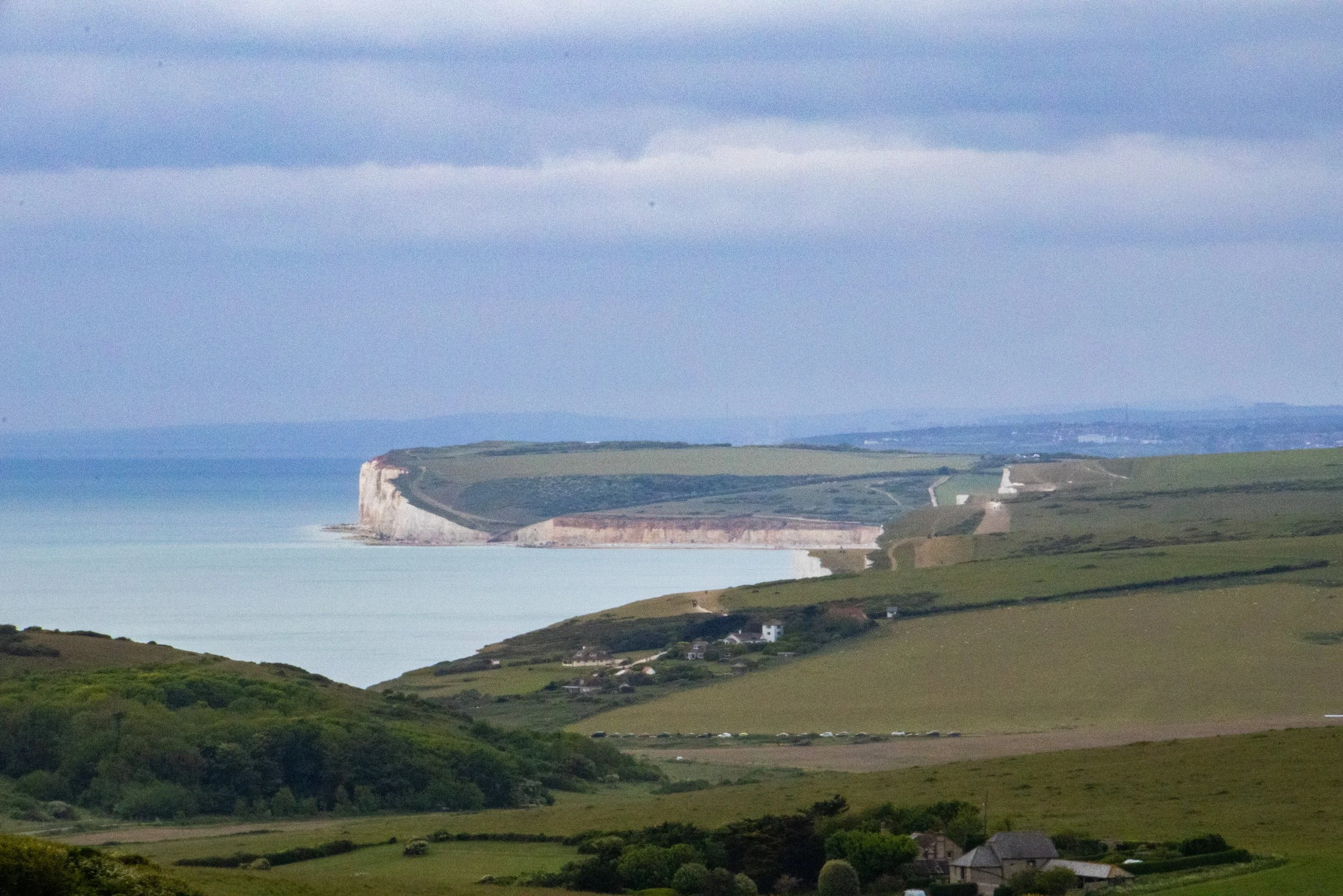
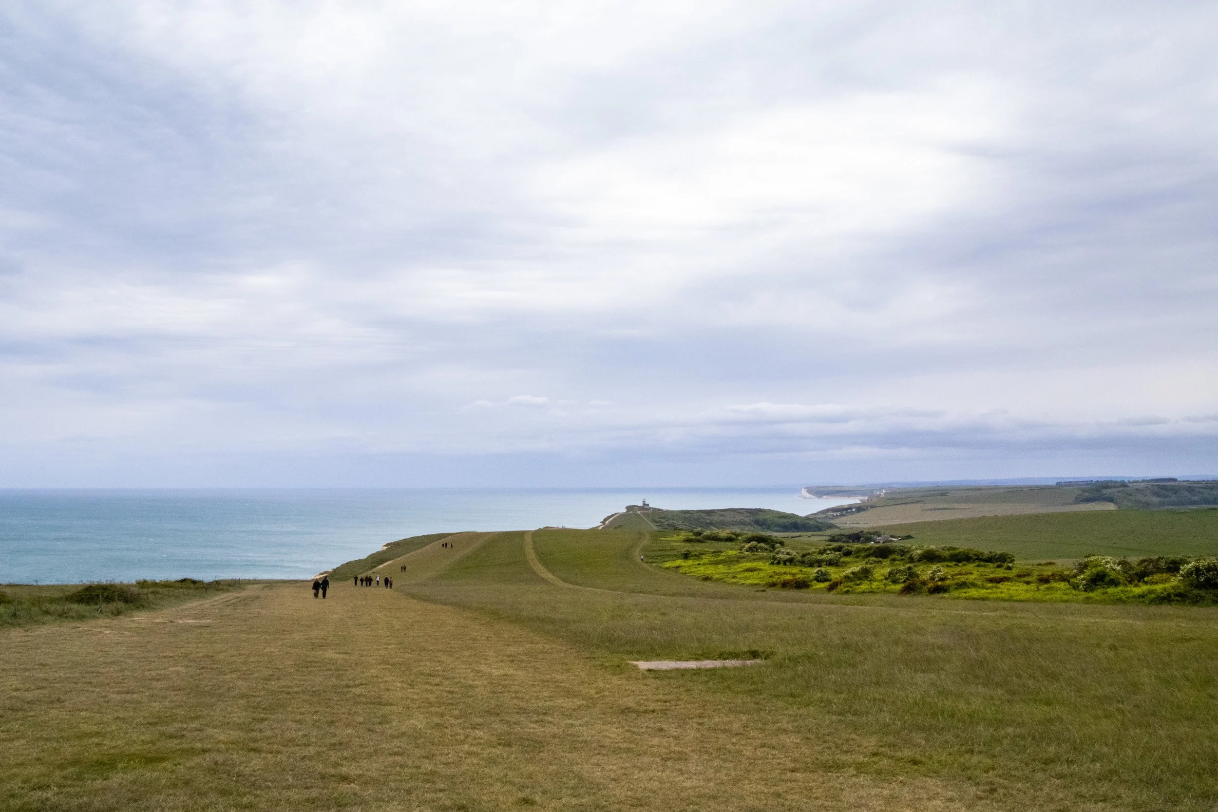
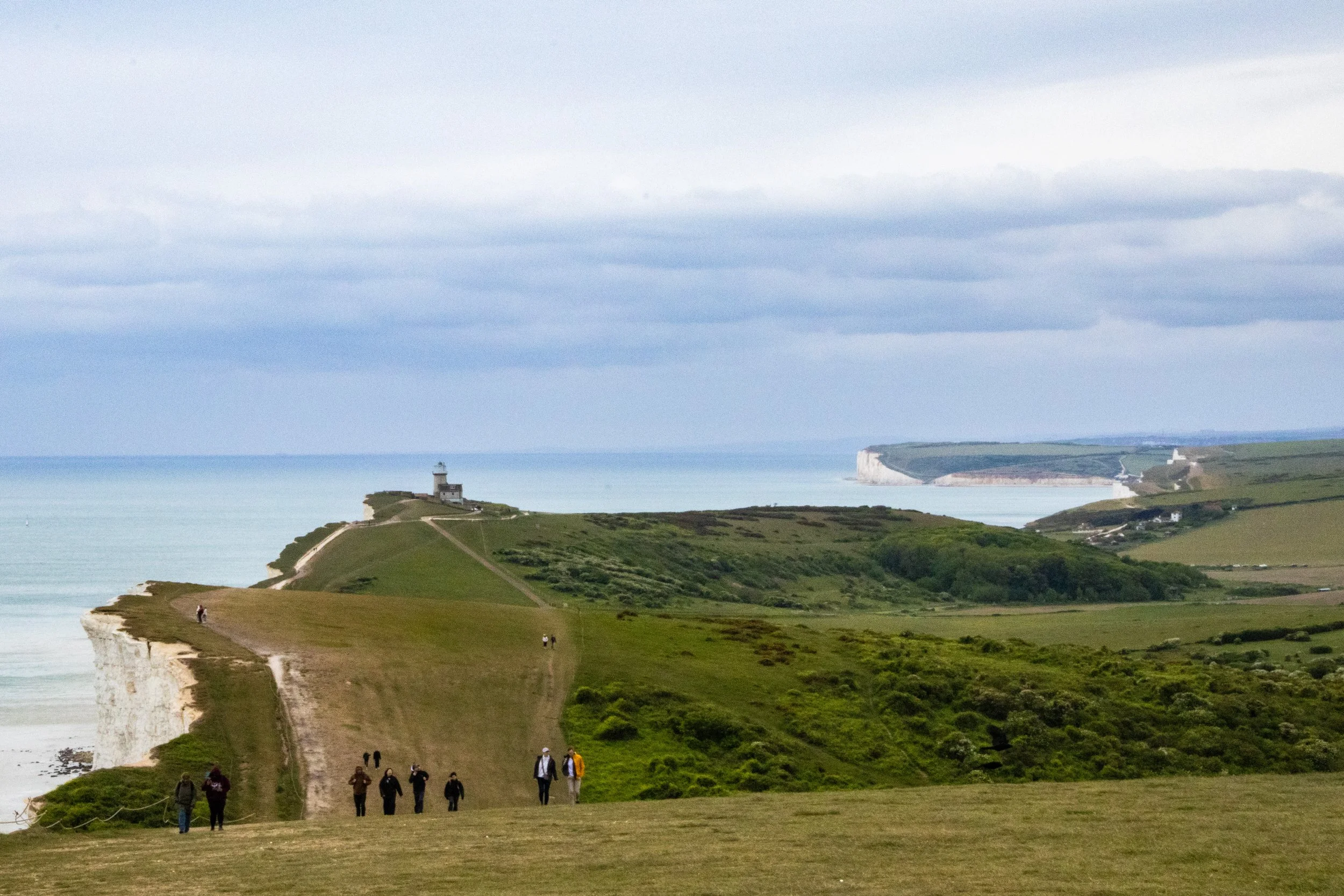
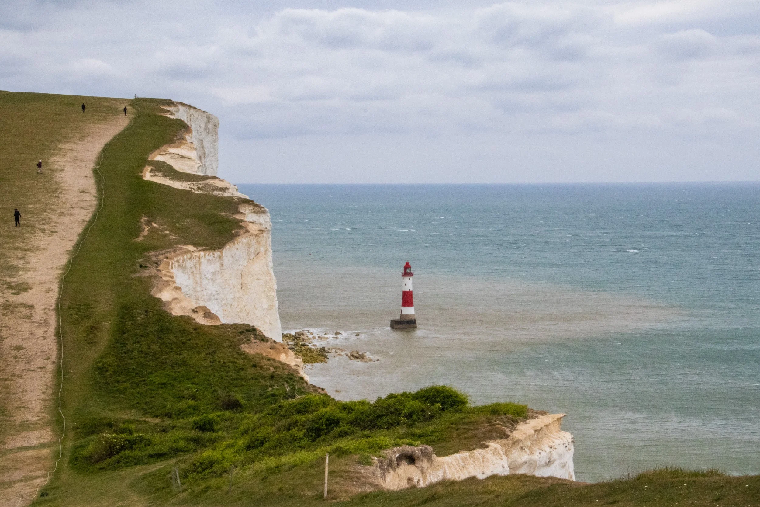
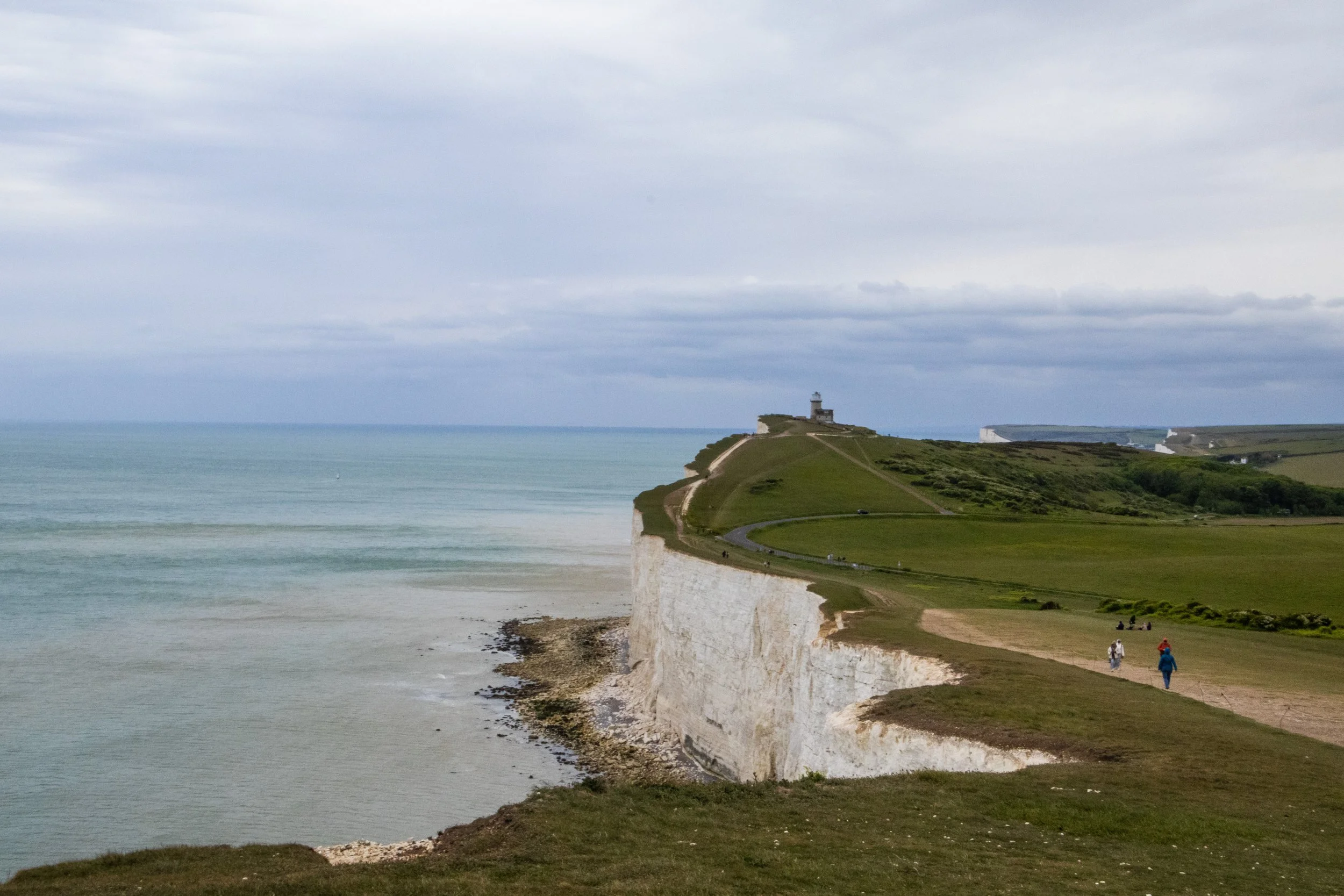
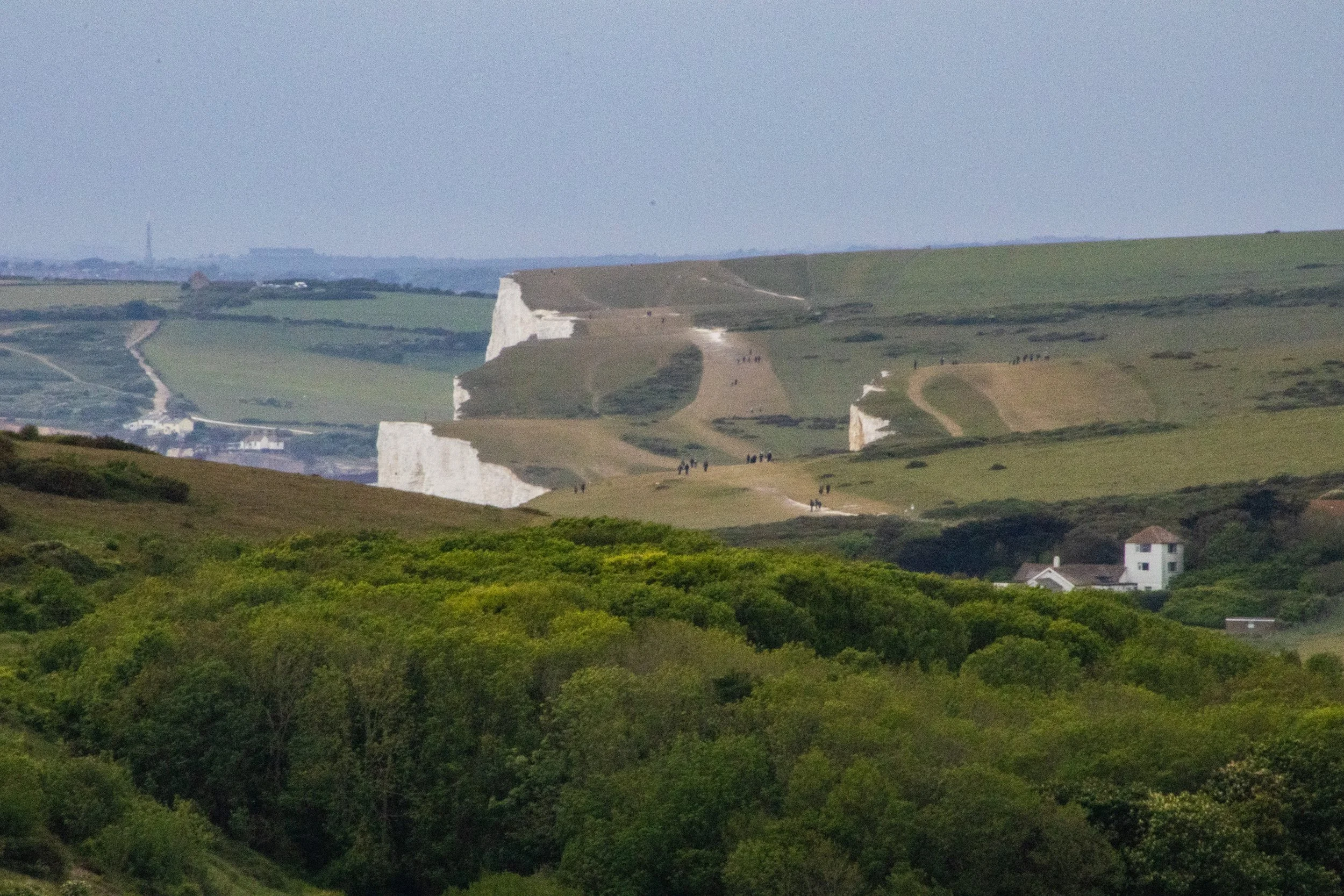
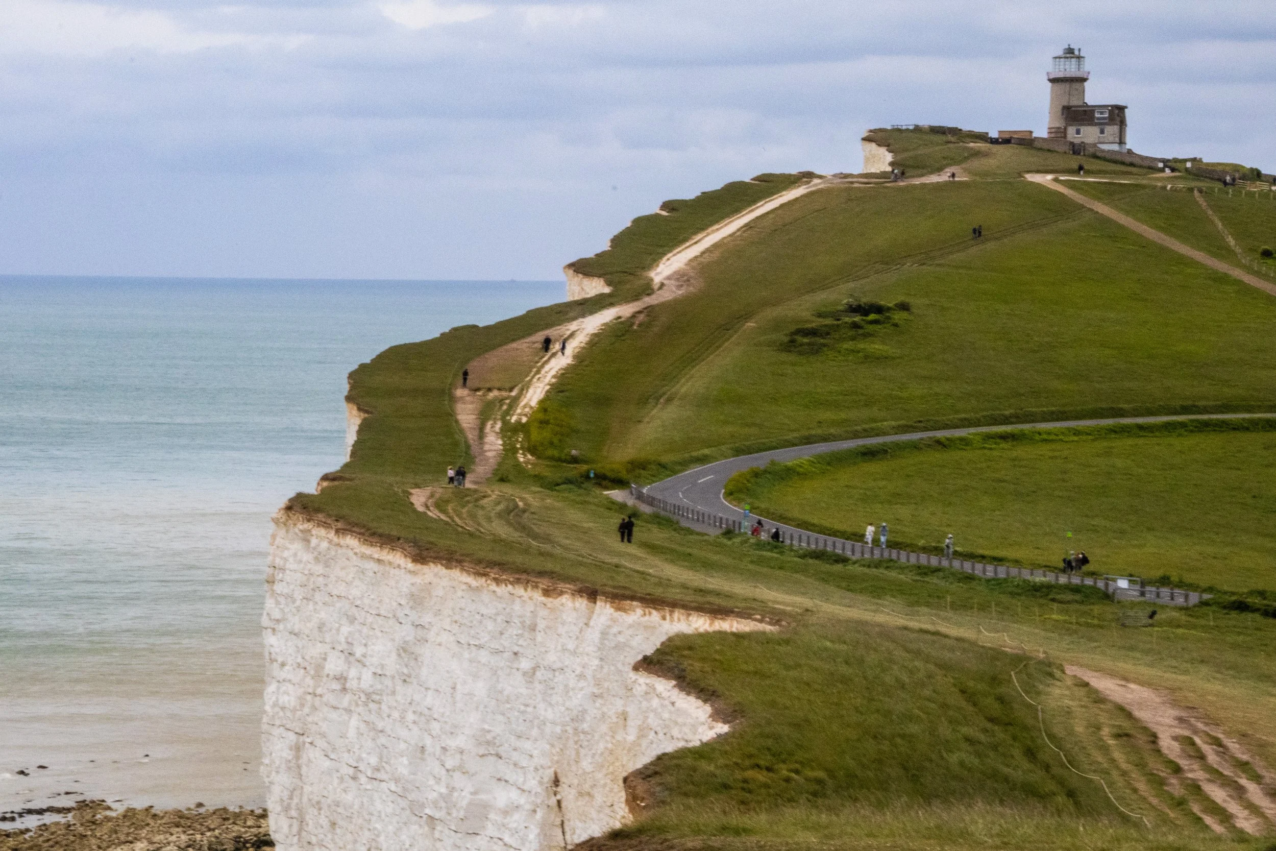
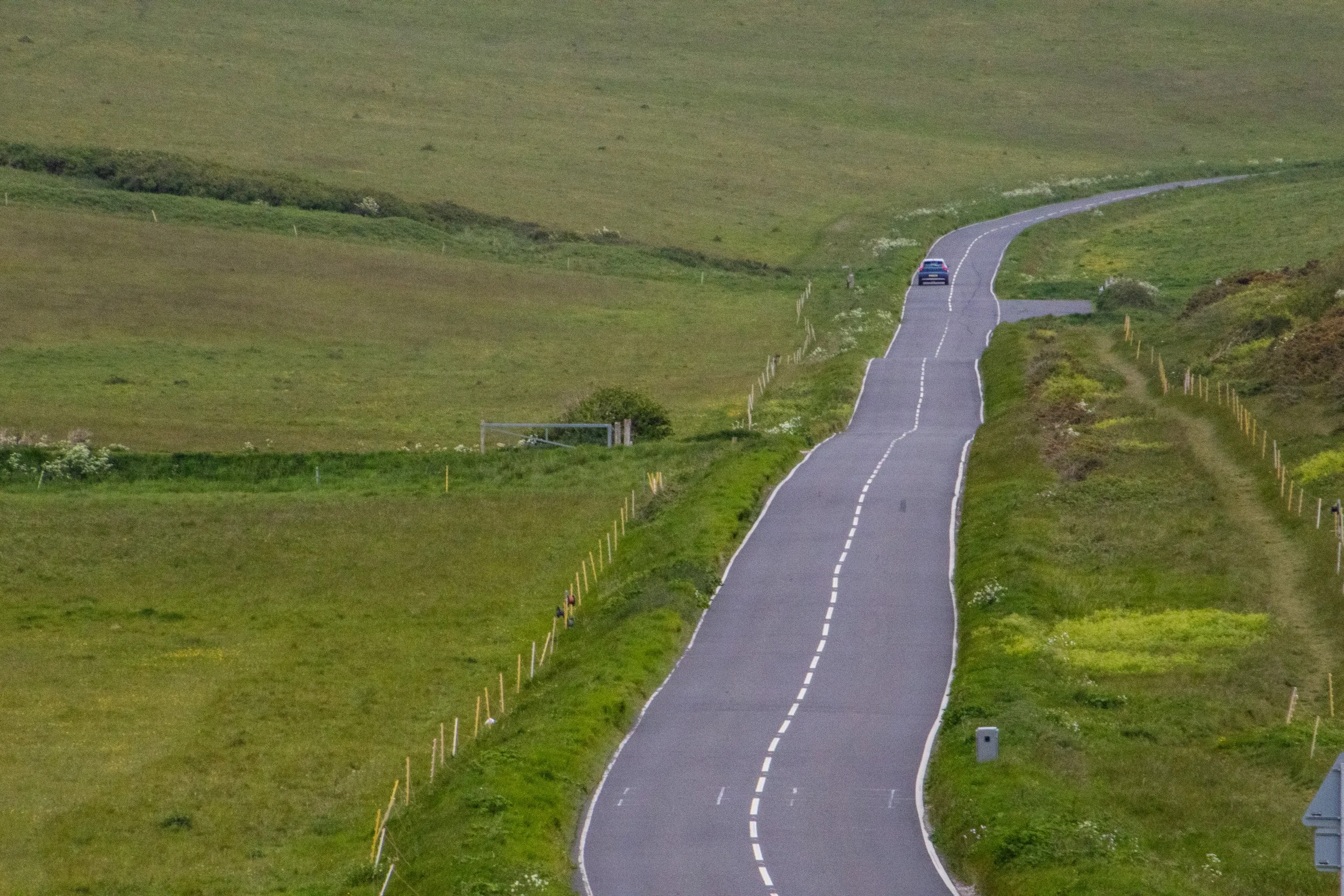
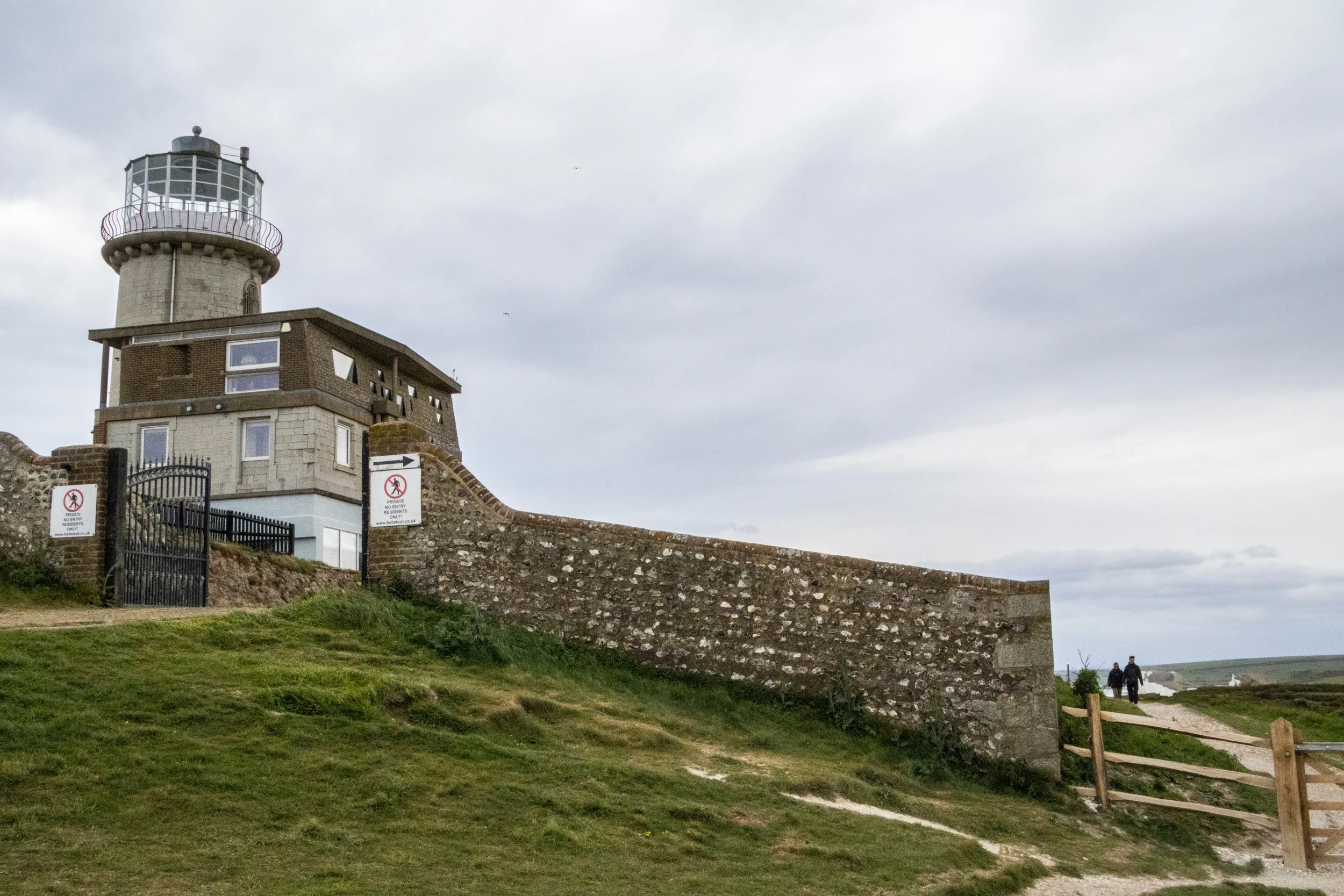
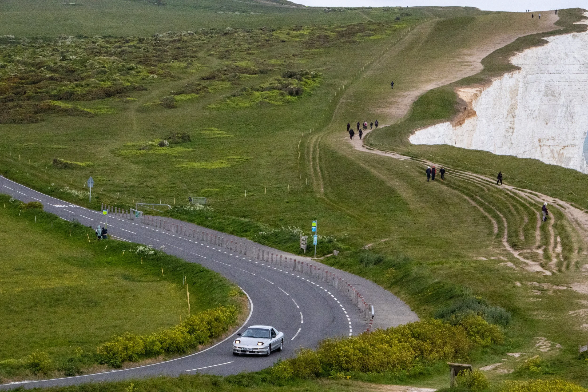
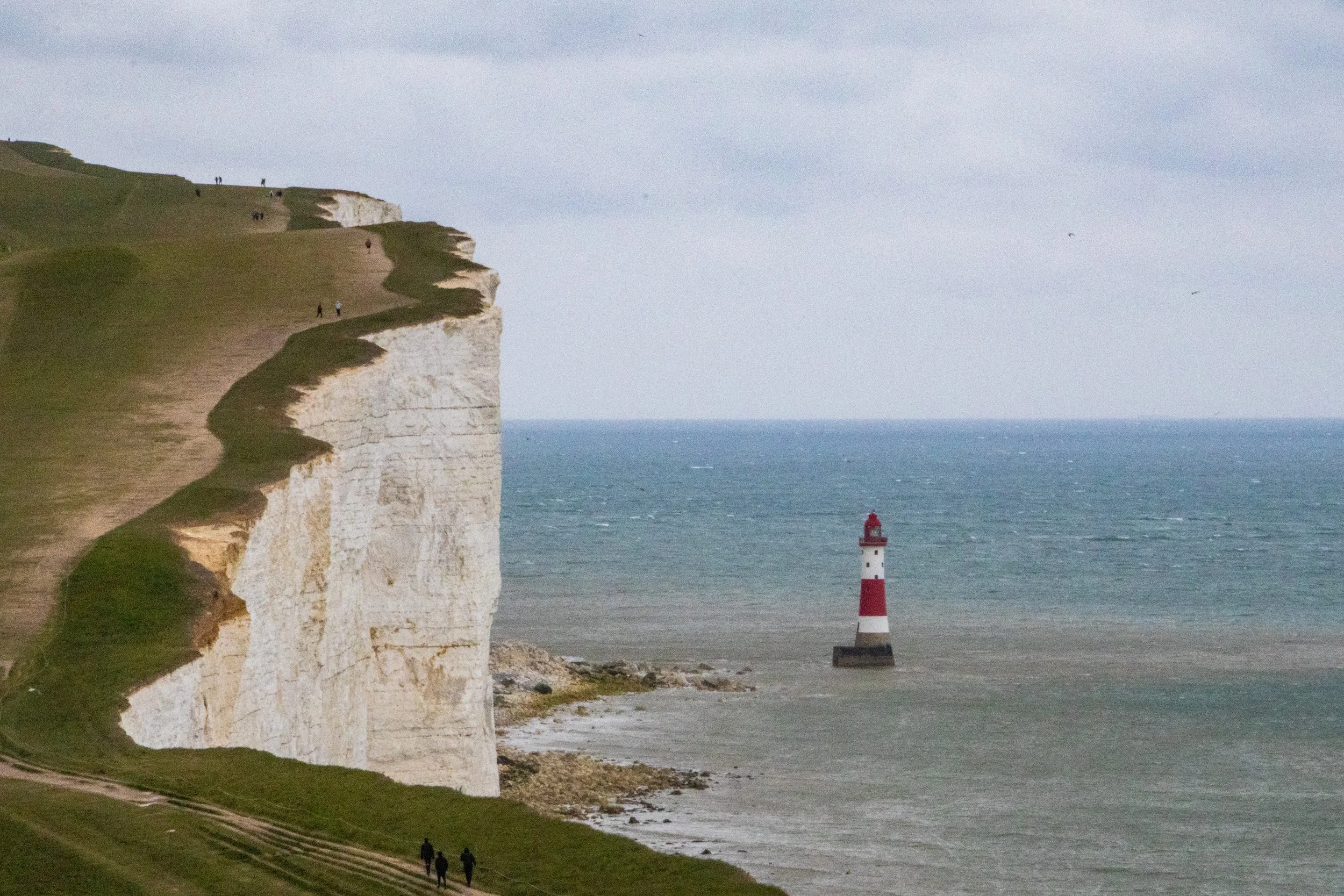
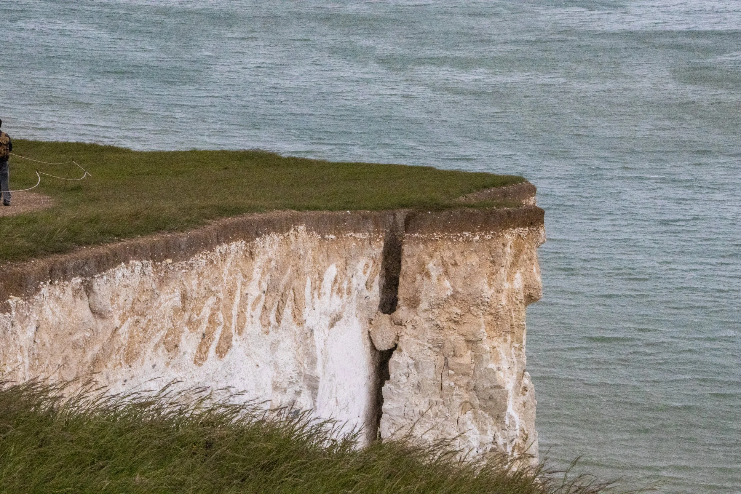
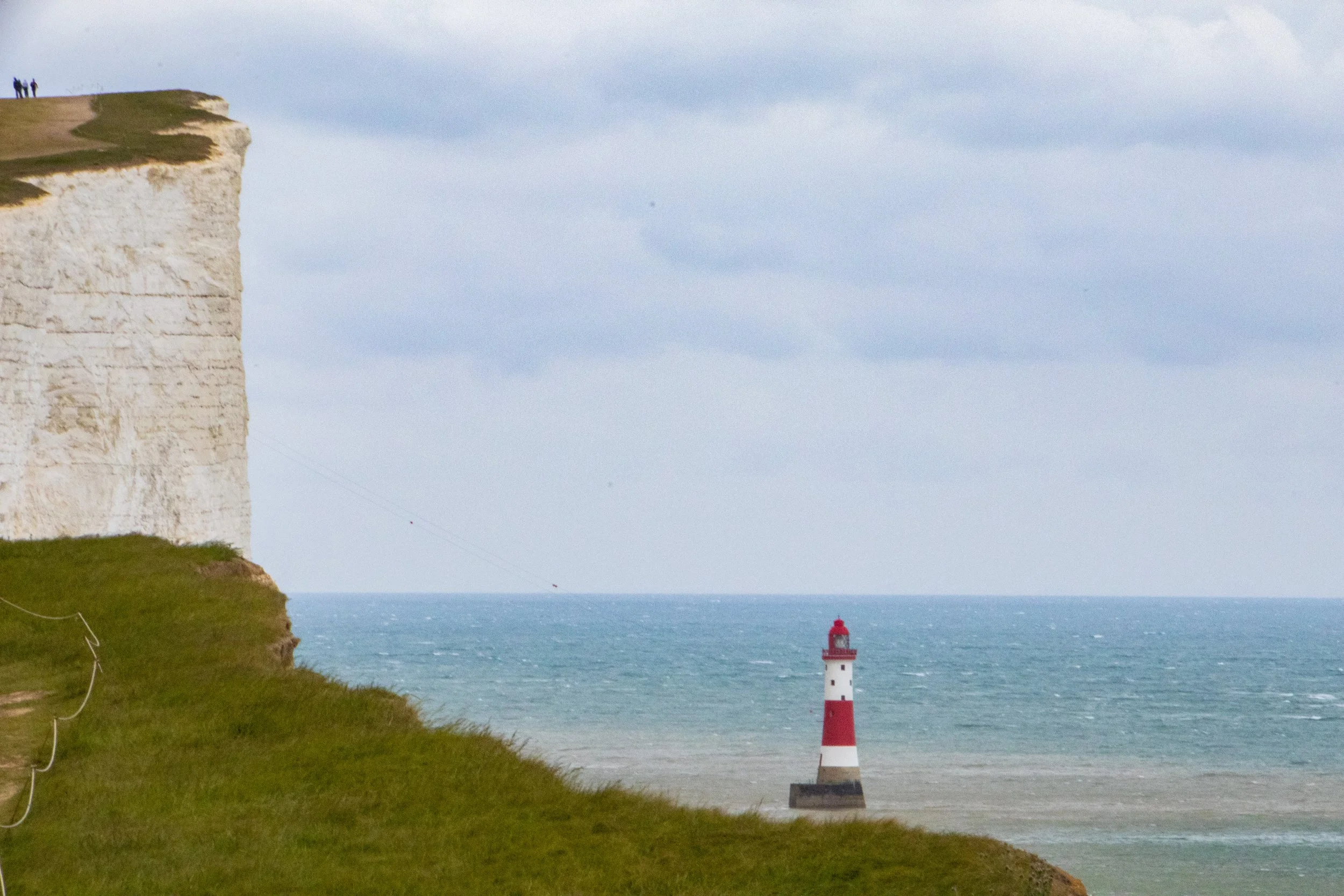
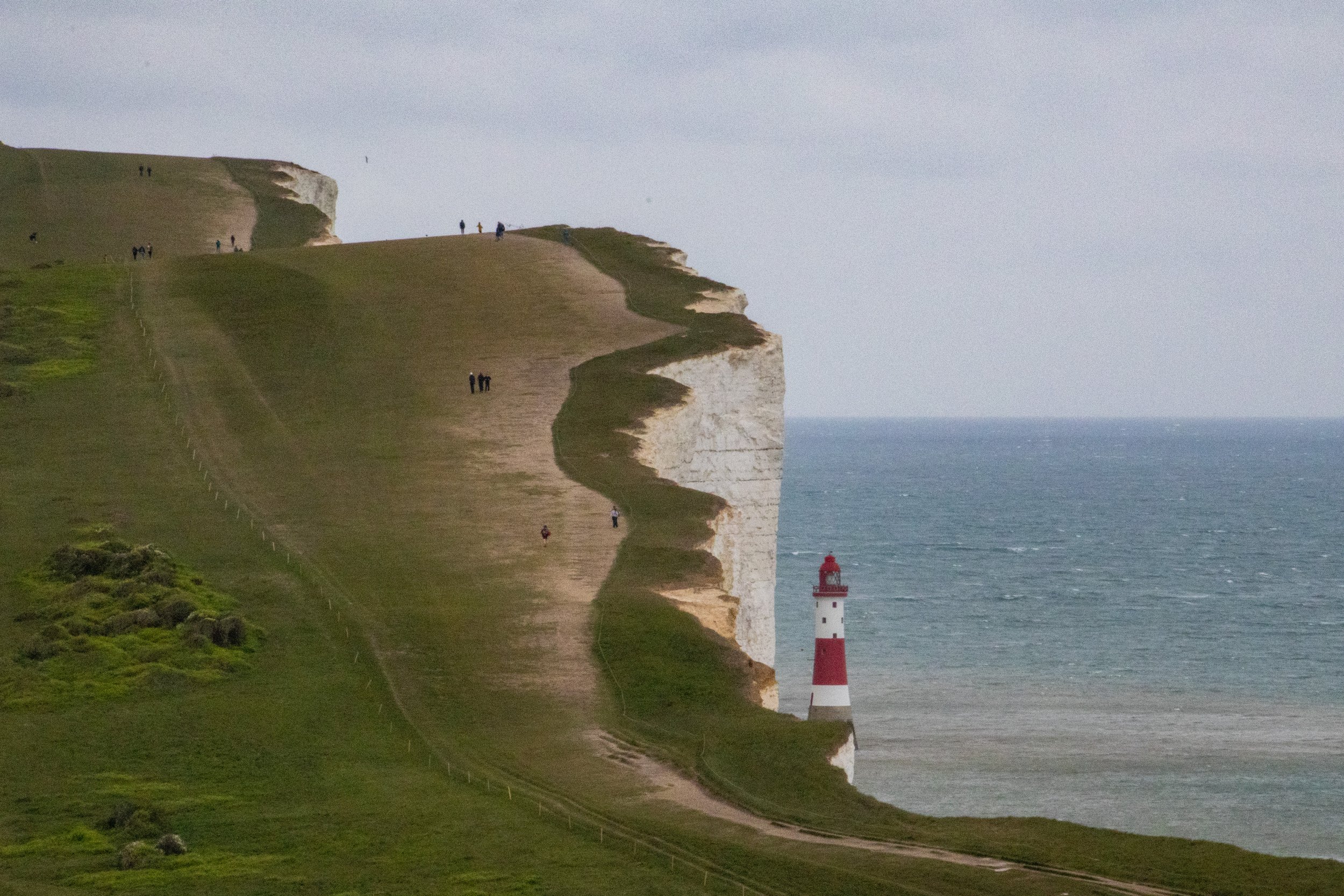
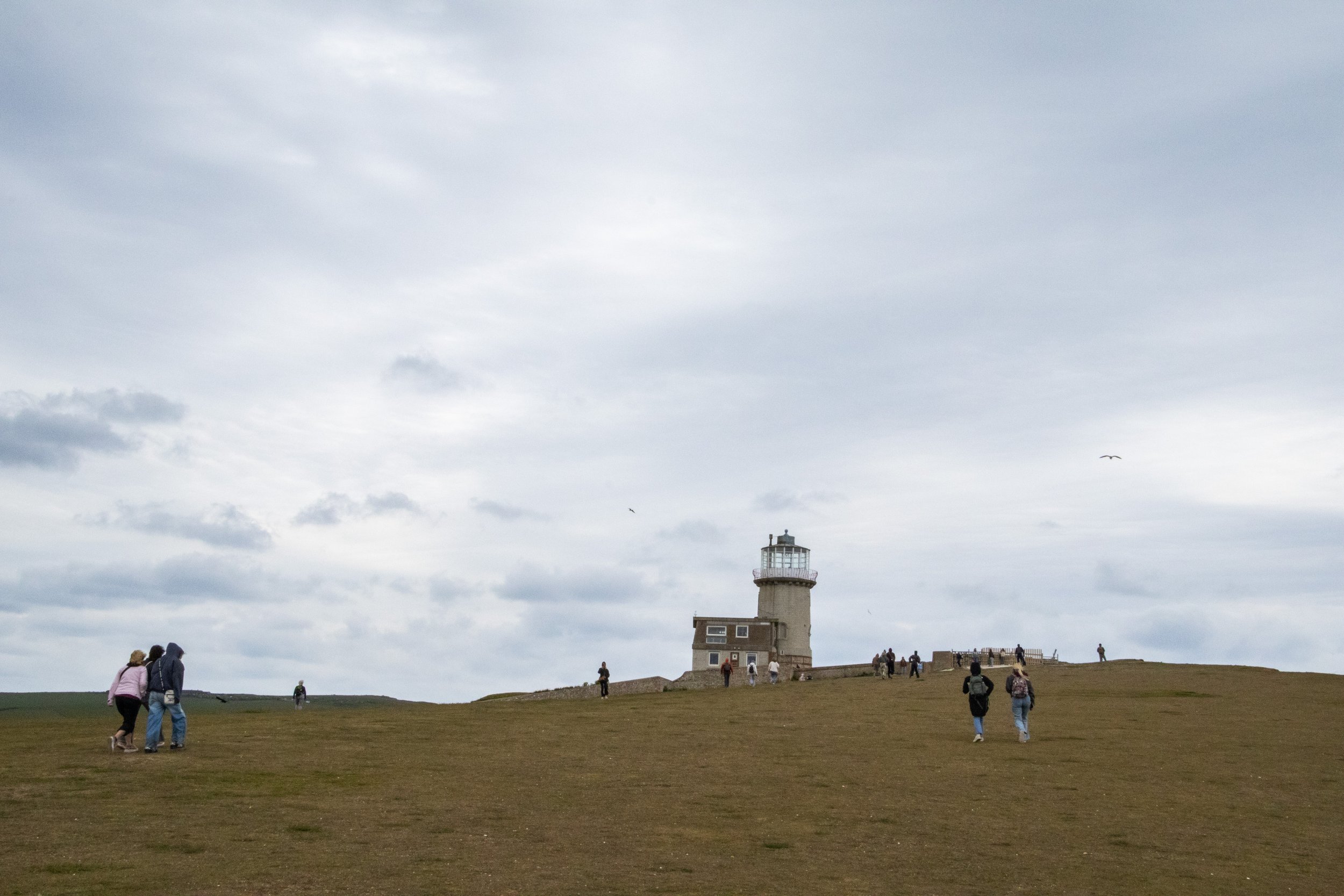
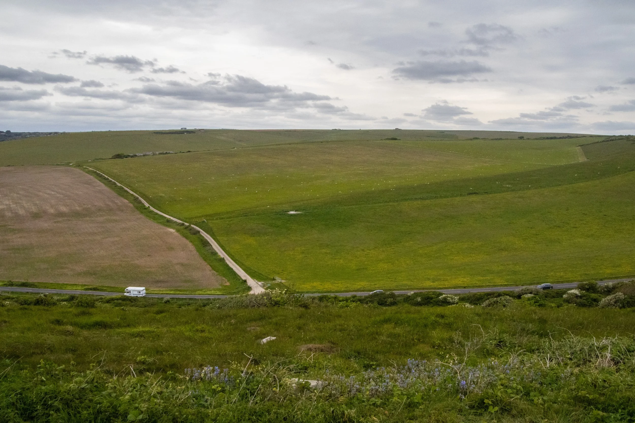
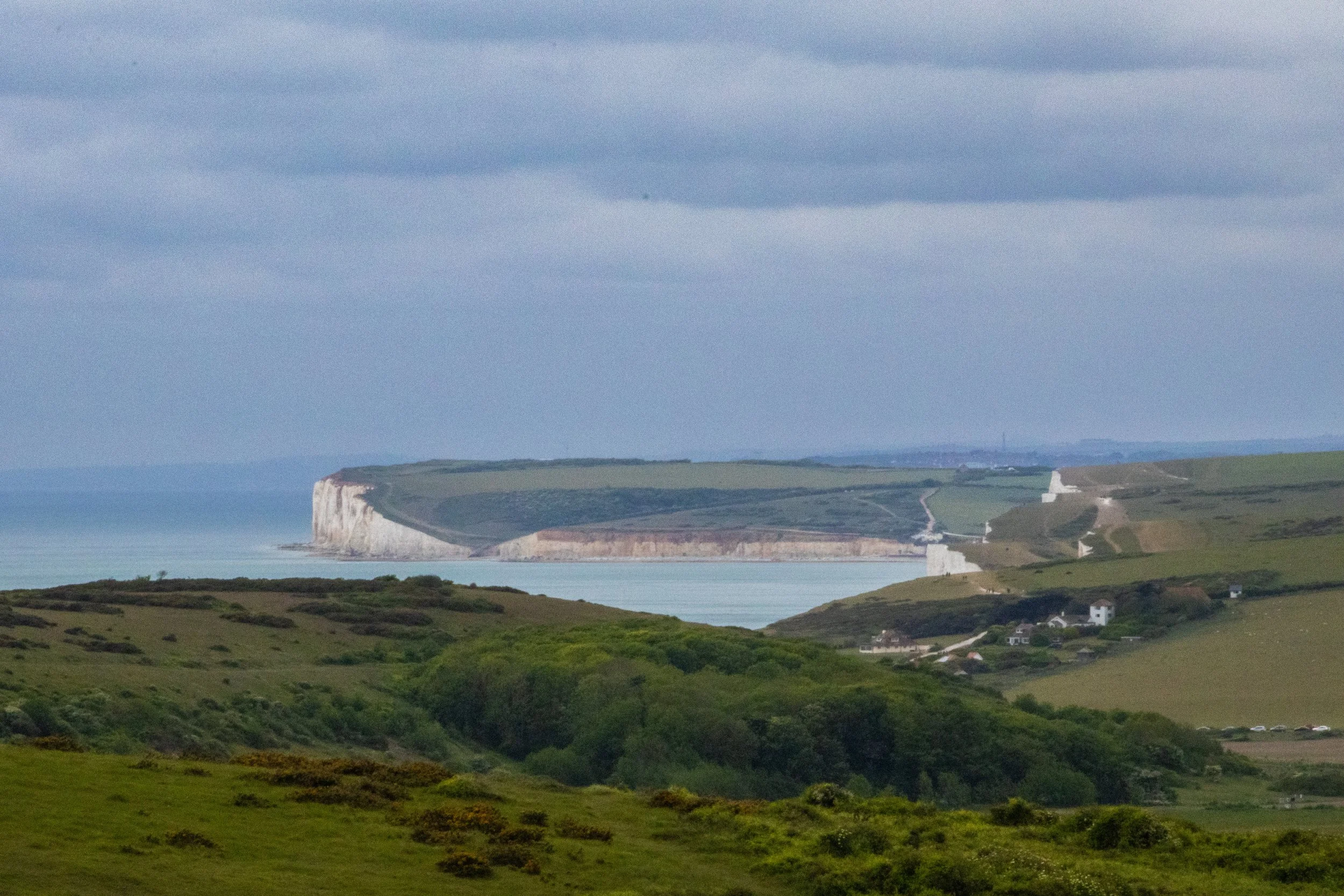
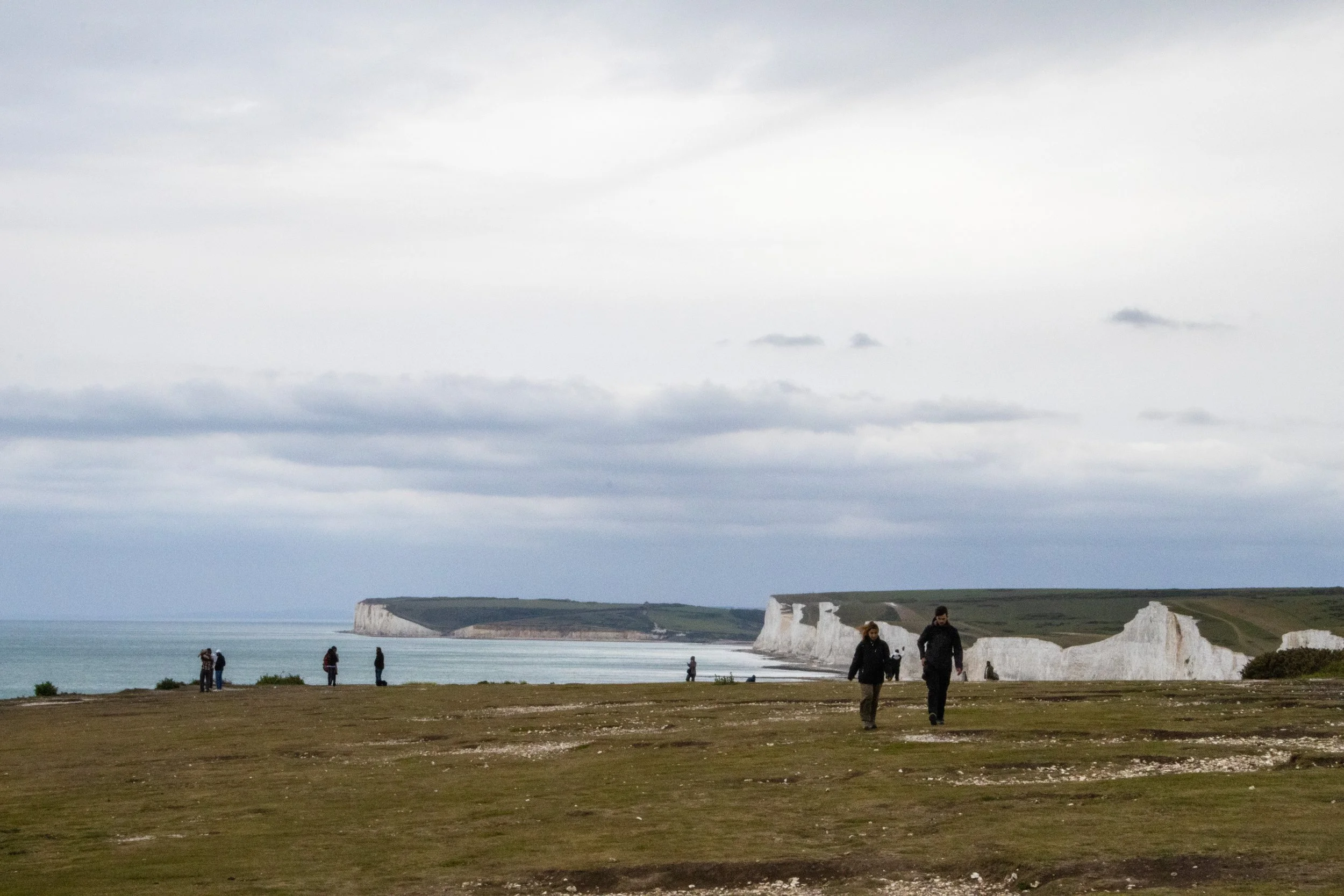
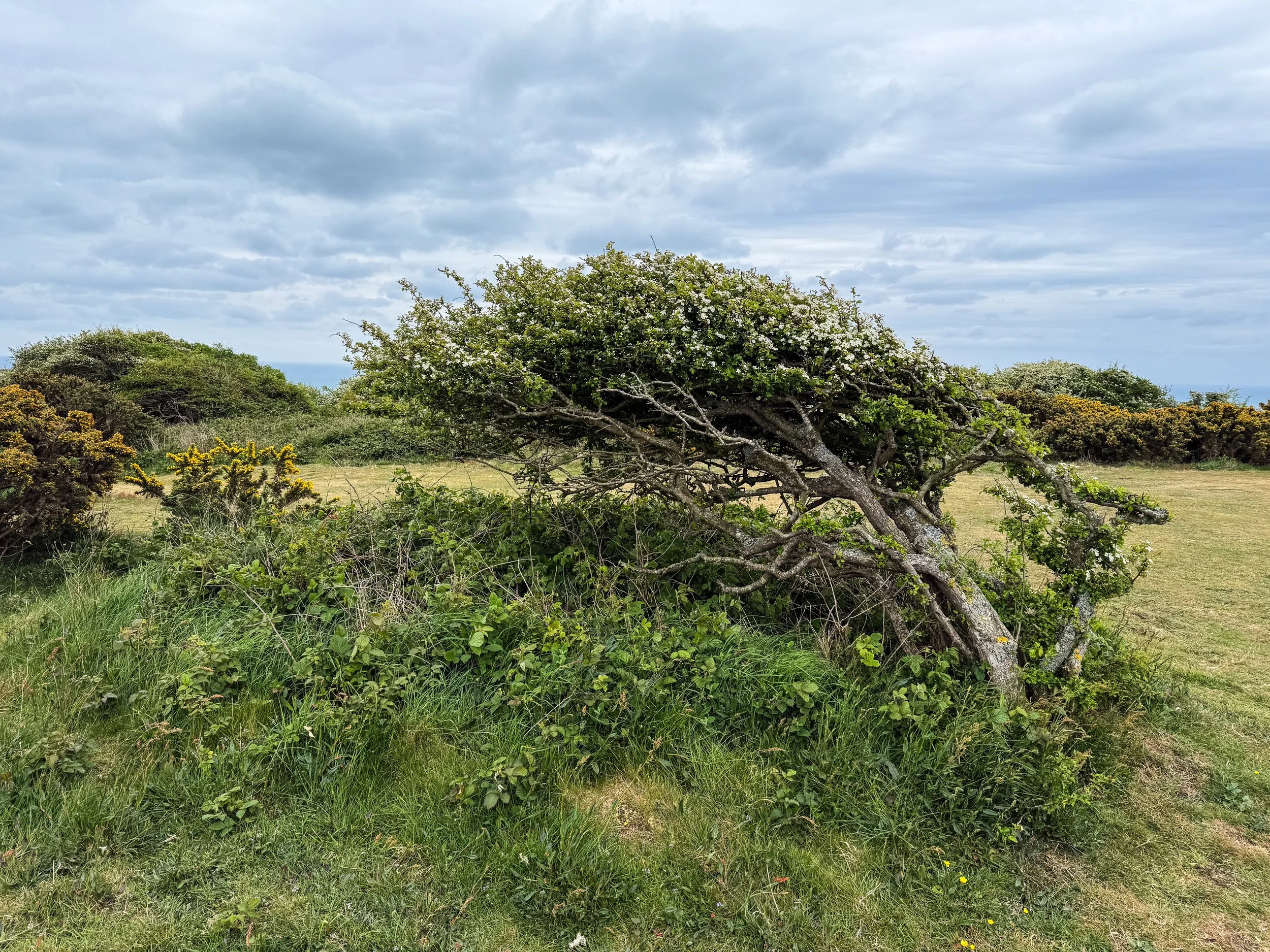
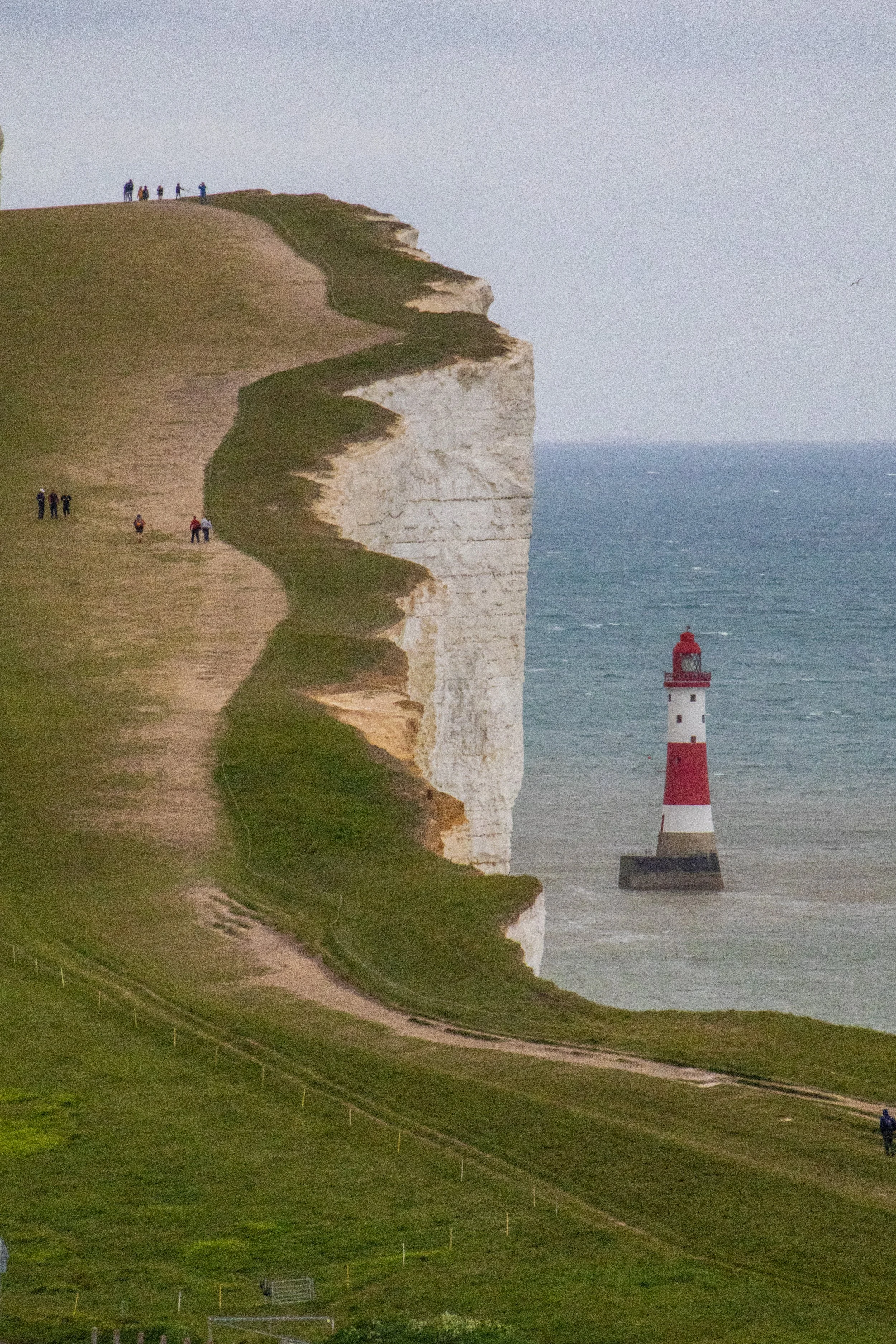
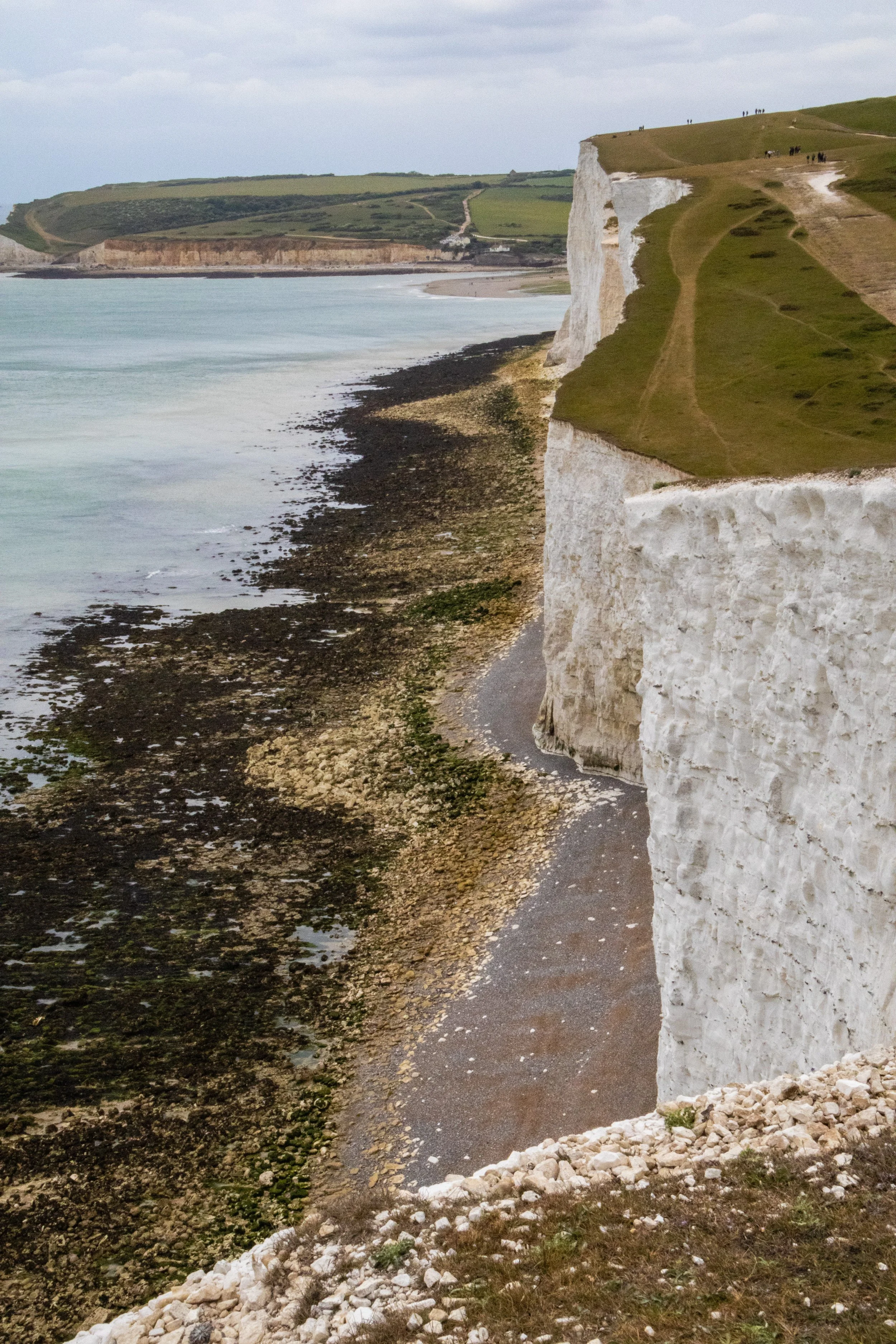
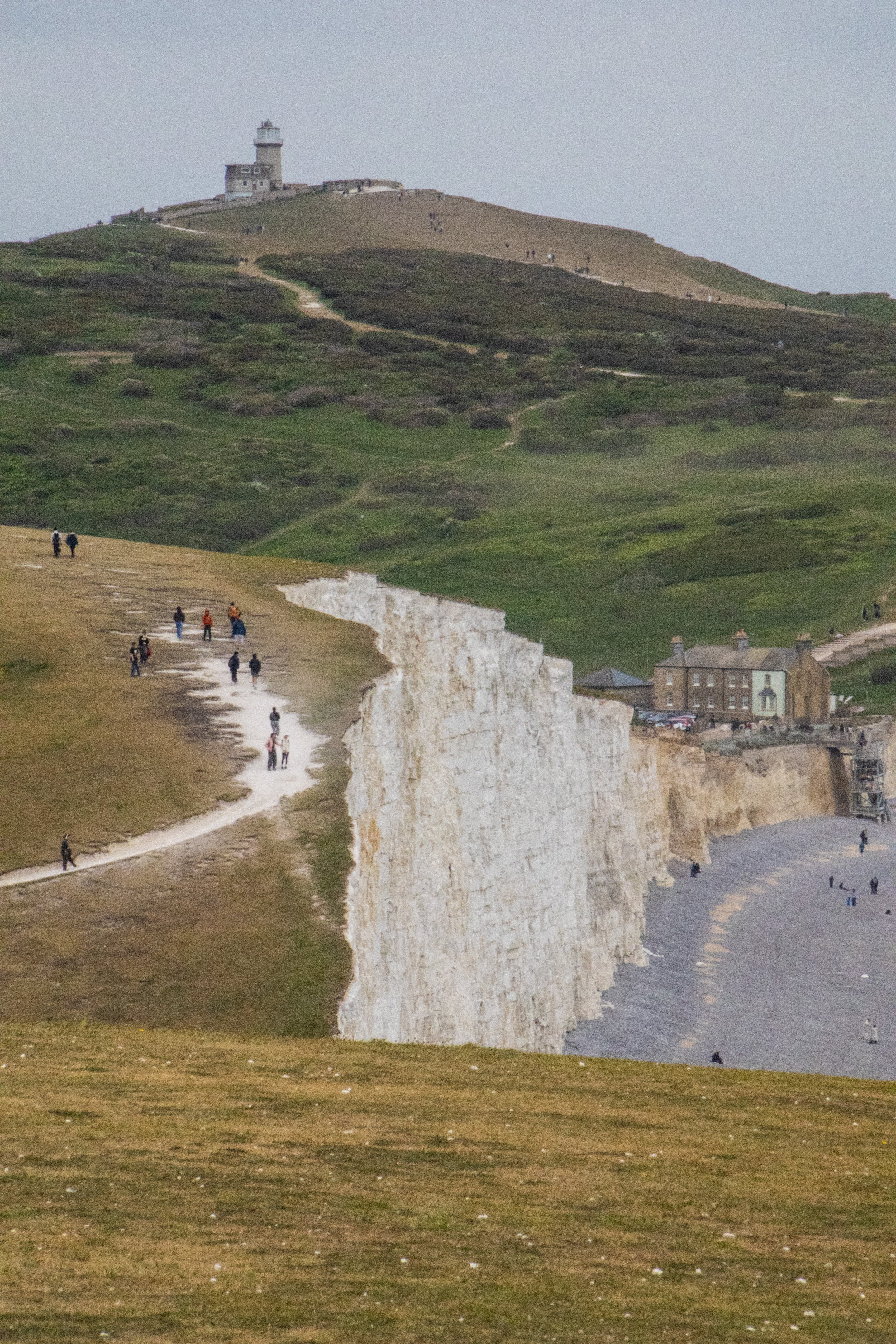
Finally, at long last, we saw the next town appear off in the distance. At this point, we were walking on a wide stretch of grass between a highway and a sheer cliff, and most of our fellow hikers had long-since disappeared, so I’m not sure if this is a common extension of the Seven Sisters hike. It would seem that most people opt for the bus at Birling Gap. As we felt our way down the steep slopes toward the town, I was BEAT.

The Finish Line: Eastbourne
It’s actually a nice little town! Much nicer than Seaford, in my humble opinion. We walked straight into the nearest pub where I gratefully ordered a beer and collapsed onto a chair. This hike from the Seaford station to the Eastbourne station (which was a further 20 minutes down the road) would be about 18km (~11 miles).
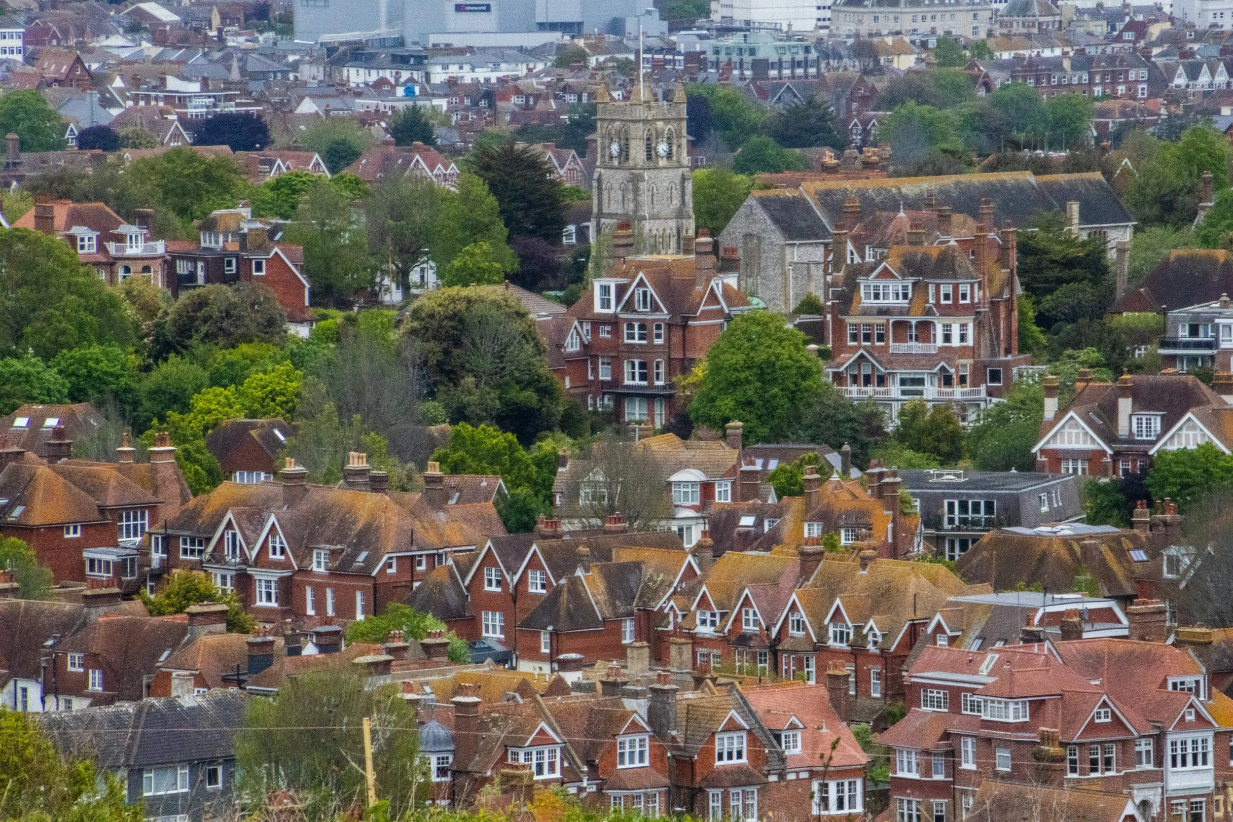
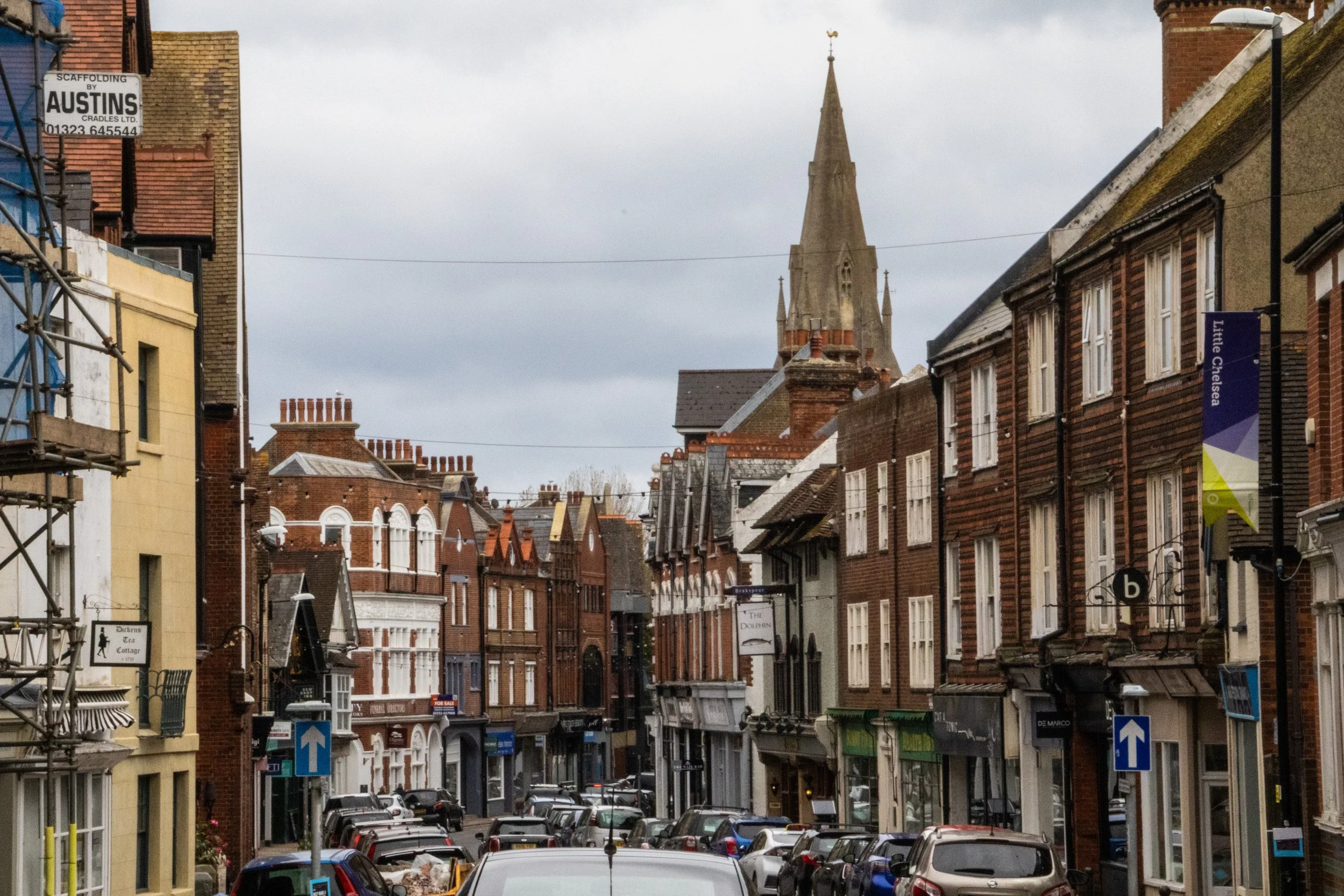
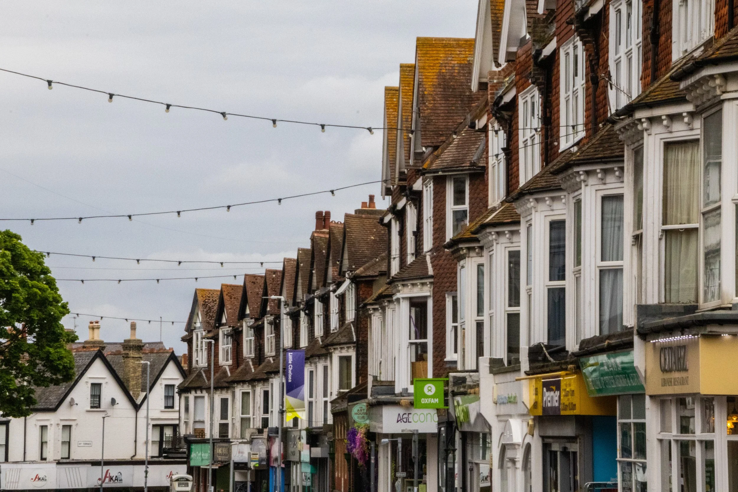
I would finish my day in London with about 30,000 steps tracked. And I’ve got long legs.
I’m sure I’ll be back to do this hike again sometime in the future, but it feels good to cross this off my list for now. 100% worth the effort!
I’ll leave you with track befitting of the moody English skies from a now-defunct but still-alive-in-my-heart band from East London. It’s a slow build, but it’s worth the wait if listen to the song in full.
UP NEXT: España 🇪🇸




When you think of Scotland, I’m betting you don’t immediately think of Glasgow. You probably think beautiful scenes in the Scottish Highlands, or the charming cobblestone streets of Edinburgh. Indeed, this is the image that Scotland likes to show to the outside world, but the largest city in Scotland is actually not Edinburgh; it’s Glasgow! With a metro area population of ~1.8 million, the joke goes that this is where Scots actually live. It could be said that Edinburgh and Glasgow are two sides of the same coin. They are the largest two cities in Scotland, and they are literally right next to each other at only 70-80km (45-50 miles). Edinburgh is smaller, but it is the administrative, governmental, diplomatic, academic, and financial hub of Scotland. It’s well-connected, it’s expensive, and it’s posh. Glasgow, on the other hand, is none of these things.
You’re gonna love it. 😉