You found the index.
Now scroll down and pick a region.
You found the index.
Now scroll down and pick a region.
🔴 Red dots = Locations visited by Peter but not covered on this blog (yet!)
Europe de l'Ouest | Europa occidentale | Pohjoismaat | Norden
Language: German | Currency: Euro (EUR)
Language: Danish, English | Currency: Krone (DKK)
Language: English | Currency: Pound Sterling (GBP)
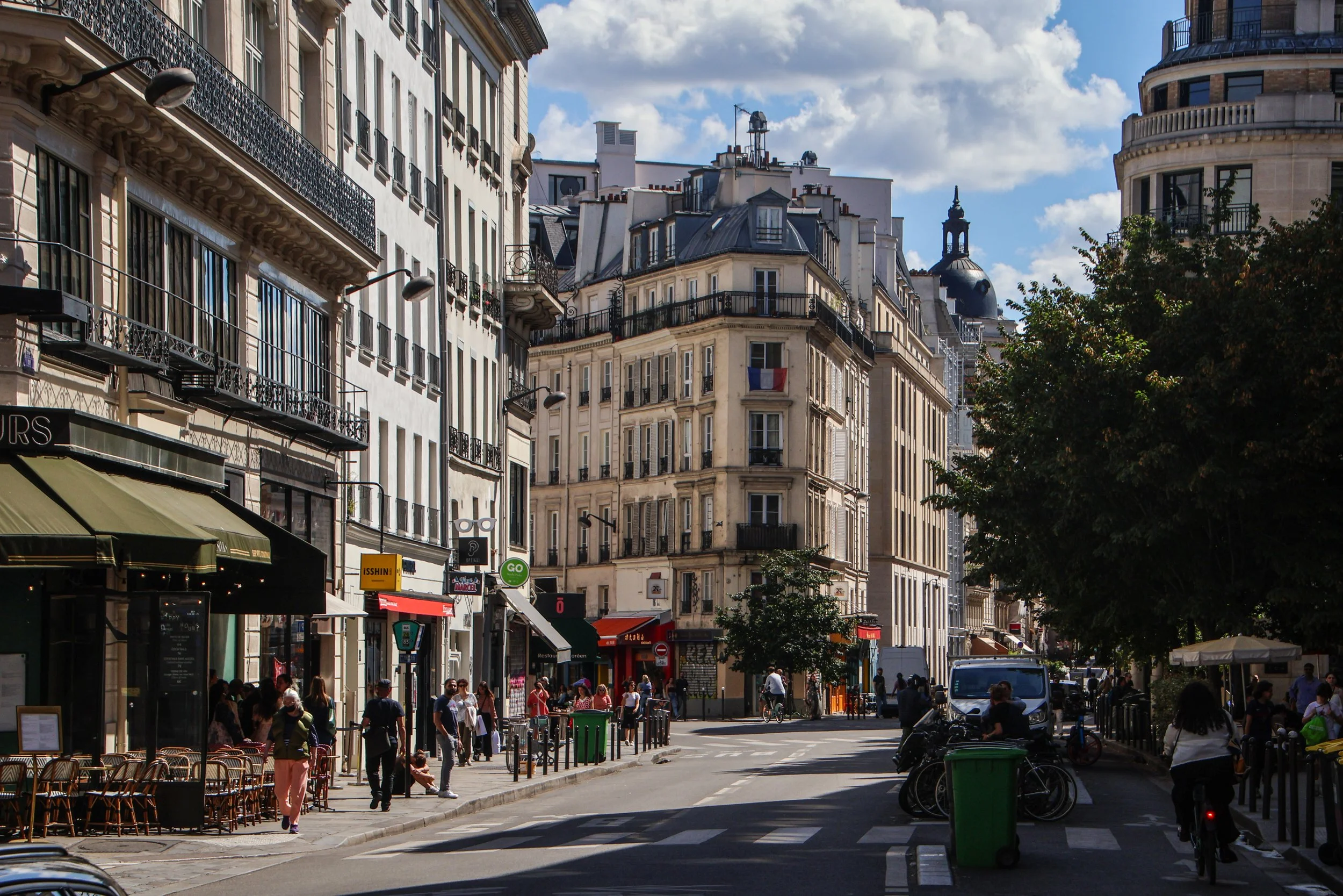
Language: French | Currency: Euro (EUR)
Language: Icelandic | Currency: Króna (ISK)
Language: Italian | Currency: Euro (EUR)
Language: Maltese, English | Currency: Euro (EUR)
Language: Dutch, English | Currency: Euro (EUR)
Language: Norwegian, English | Currency: Krone (NOK)
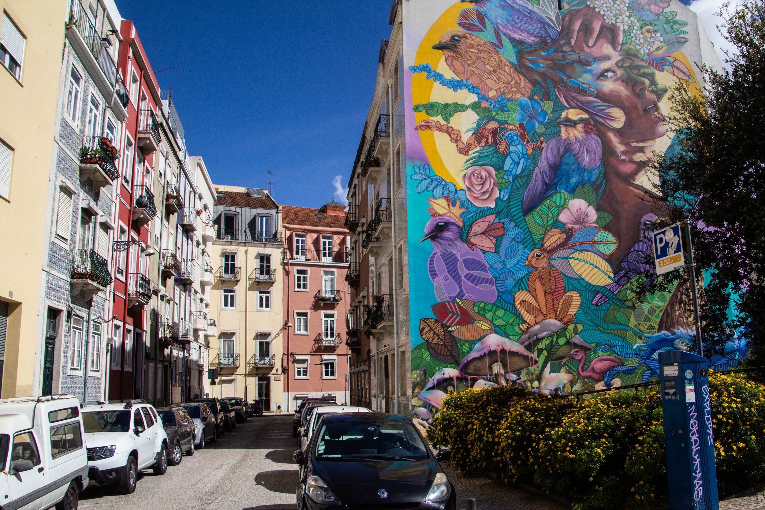
Language: Portuguese | Currency: Euro (EUR)
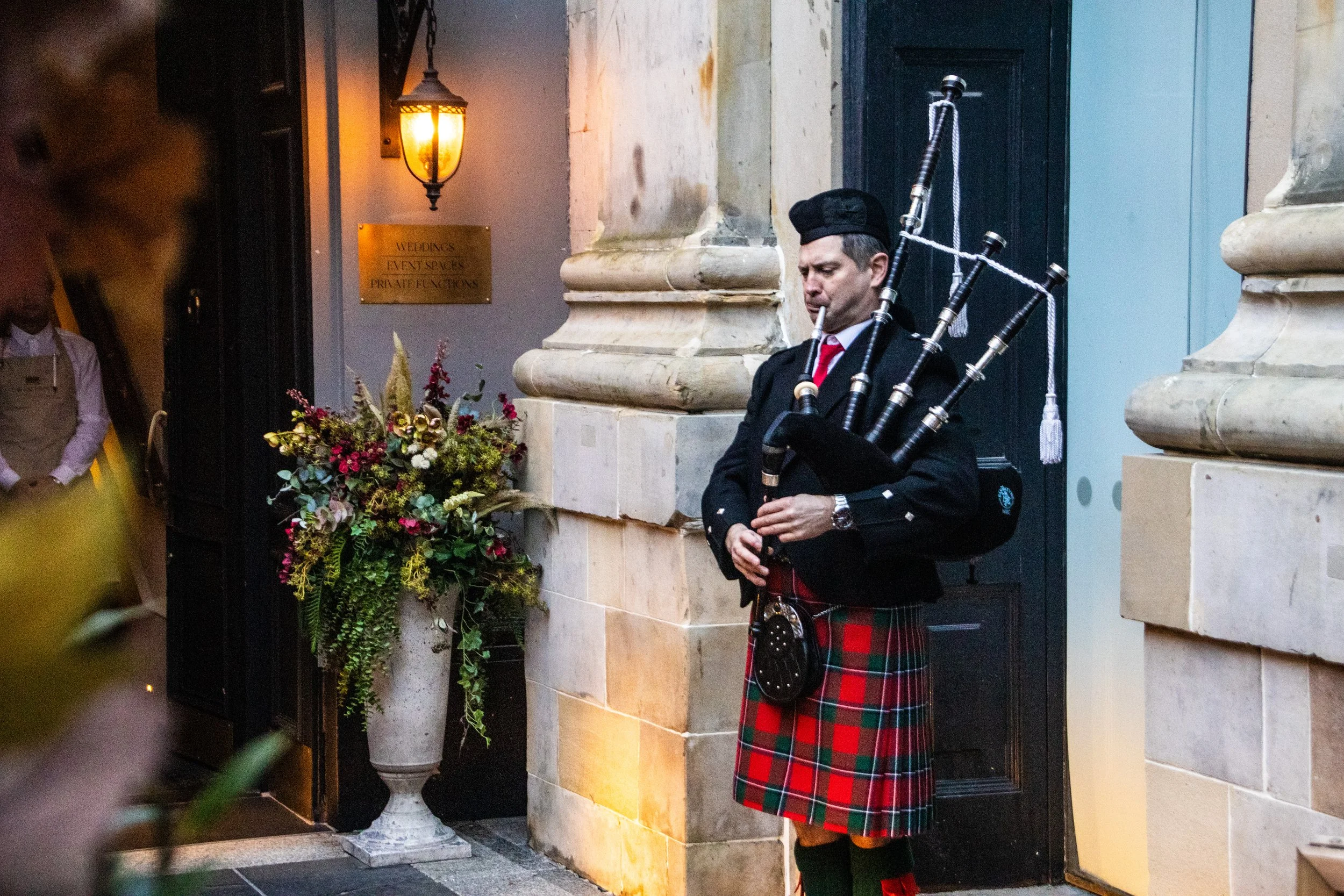
Language: English, Gaelic | Currency: Pound Sterling (GBP)
Language: Spanish | Currency: Euro (EUR)
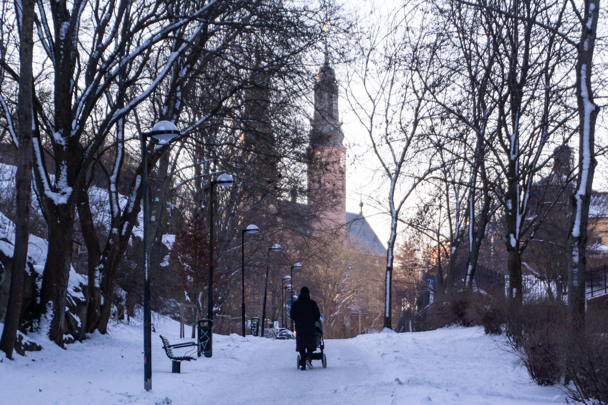
Language: Swedish, English | Currency: Krona (SEK)
Language: German, French, Italian | Currency: Franc (CHF)
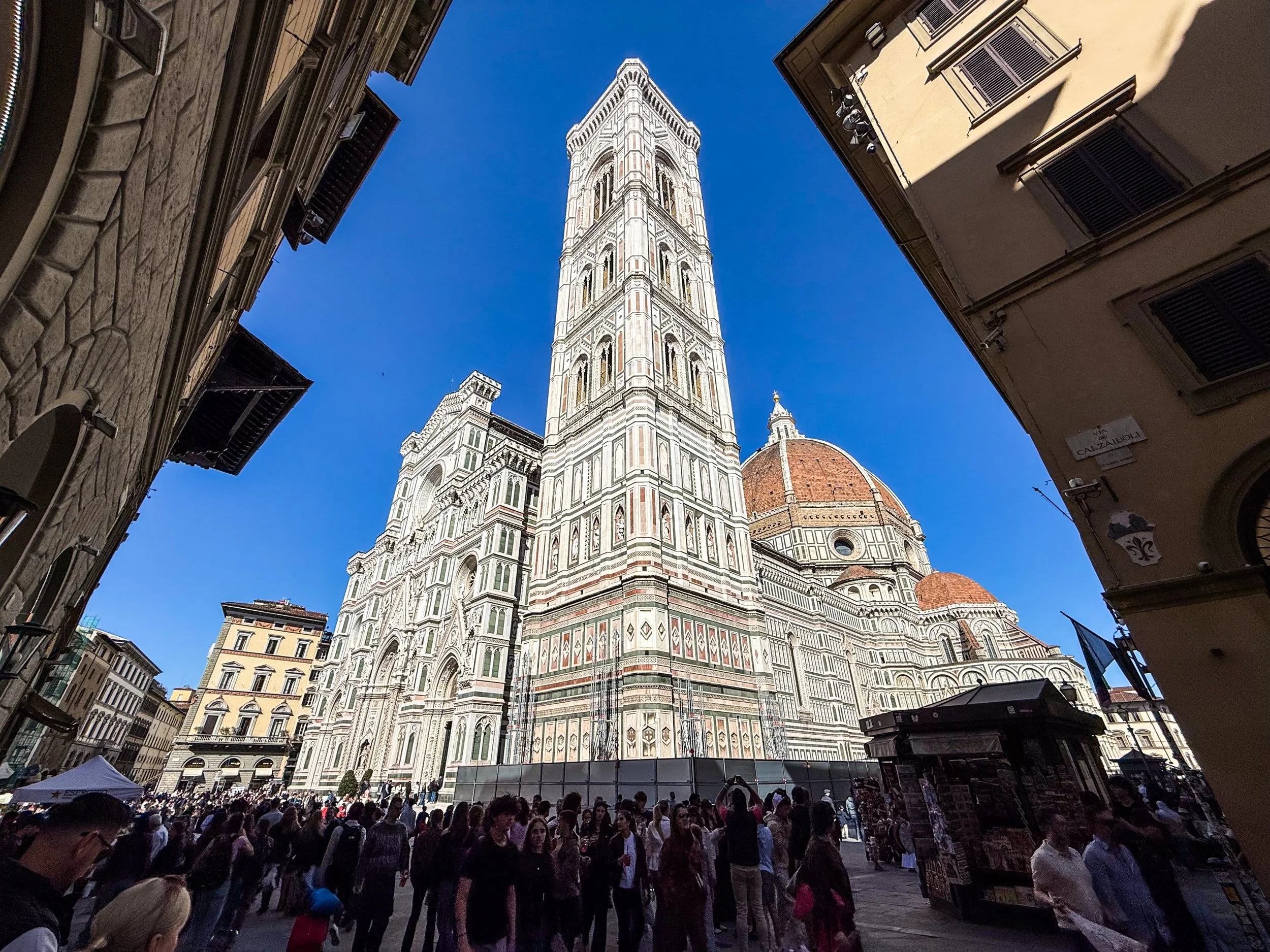
Language: Italian, Latin | Currency: Euro (EUR)
🔴 Red dots = Locations visited by Peter but not covered on this blog (yet!)
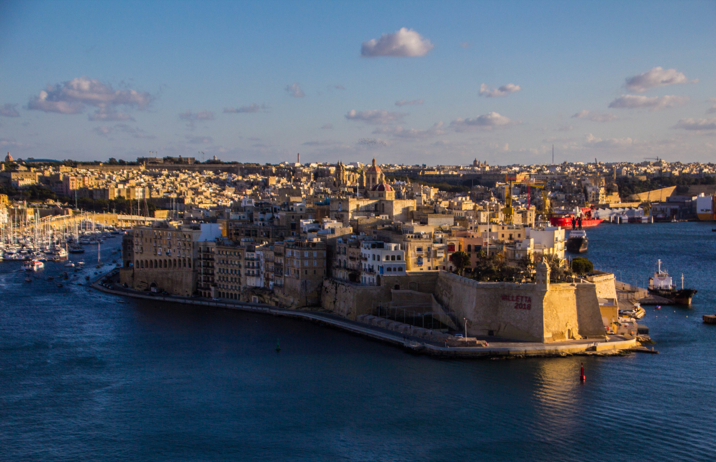
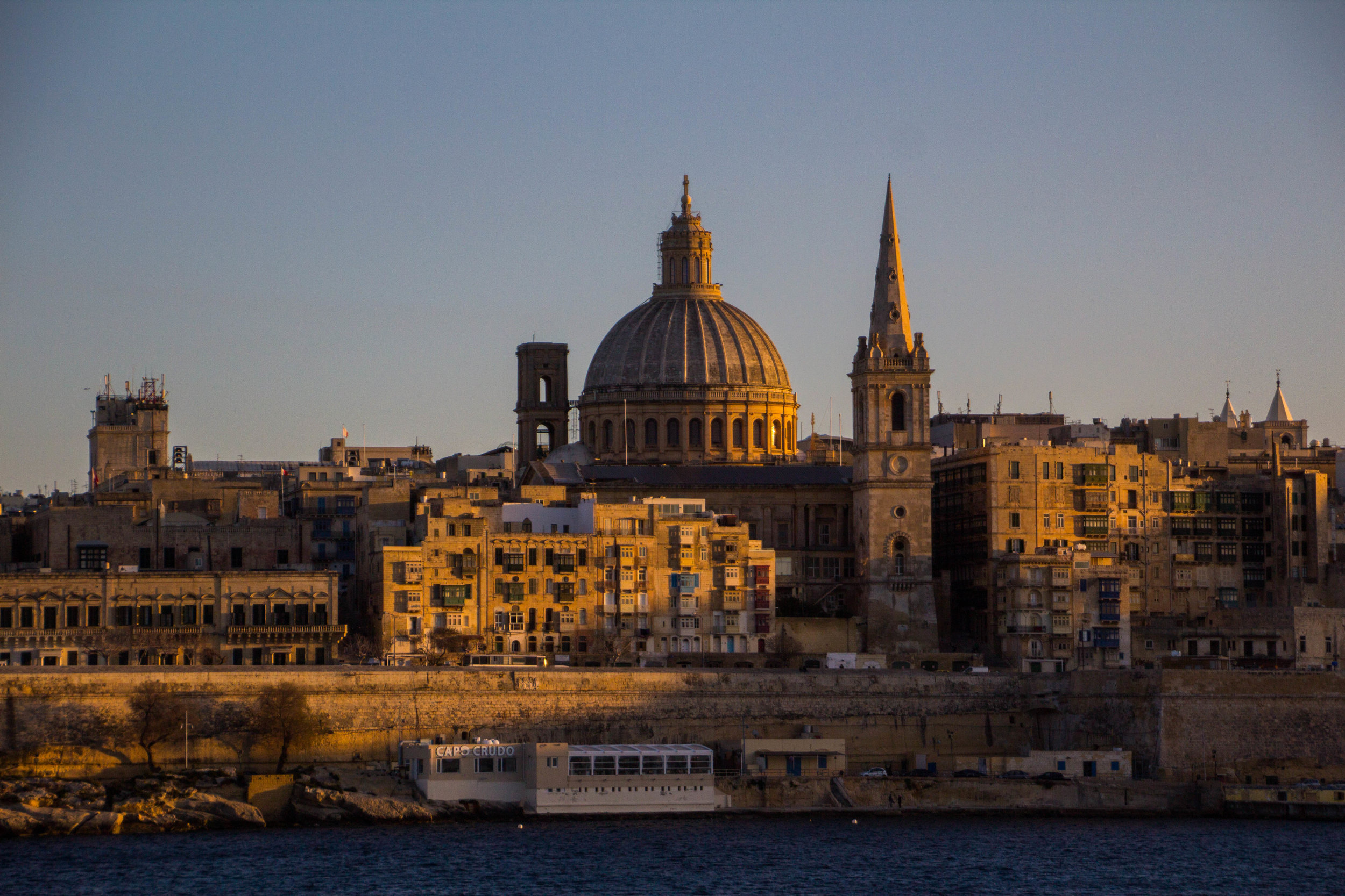
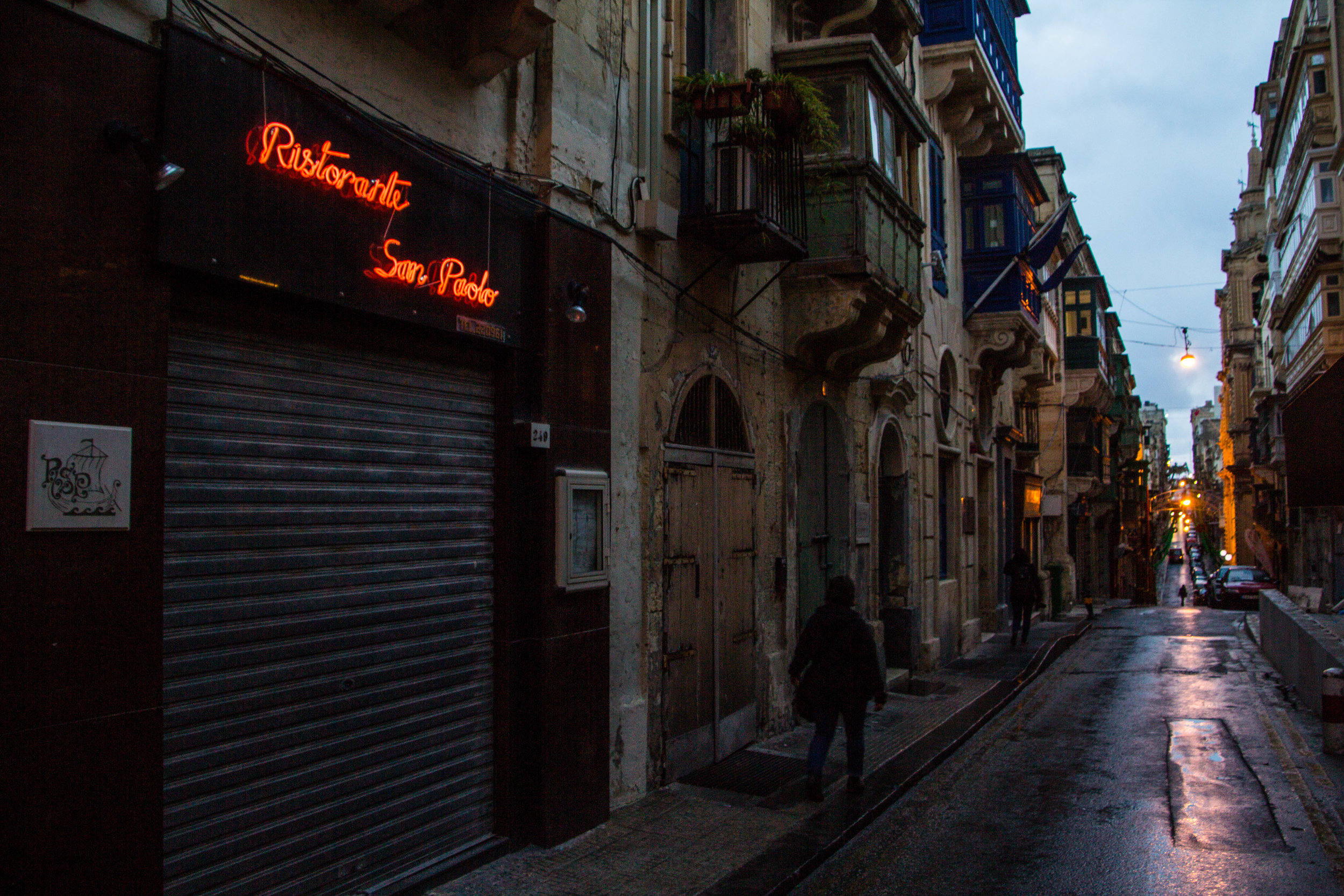
I think that most people who visit Malta arrive suffering from an information deficit, because one of the first tourist attractions any local will tell you to see is a 45 minute movie explaining things. Indeed, at first glance, the Maltese capital city, Valletta, will leave you incredulous. I think that everybody who lives there knows that it requires some explanation. All that I kept thinking when I first arrived was "How did this place come to be and how do I know so little about it?" Well the movie answers those questions, and more. But for now, you'll just have to hear it from me!
This quest brought us to the edge of the world, literally, to the bone-chillingly massive cliffs of Látrabjarg. Here’s a spoiler alert for you: it was mind-blowingly gorgeous. A friend of mine recently pointed out that I’ve said similar things about a great many of the places I have visited, so let me up the ante a bit: this was one of the top 5 most beautiful places I’ve seen, EVER.
When you think about Iceland, what do you think about? Probably green mountains and a beautiful, rugged coastline, right?
Well that's just one piece of the geothermal puzzle that is Iceland. Iceland's interior is a very different place. It's a vast, inhospitable, volcanic desert. And in this enormous highland desert, conditions are punishing, and water is scarce (unless it's in the form of a glacier).
It's basically Mordor.
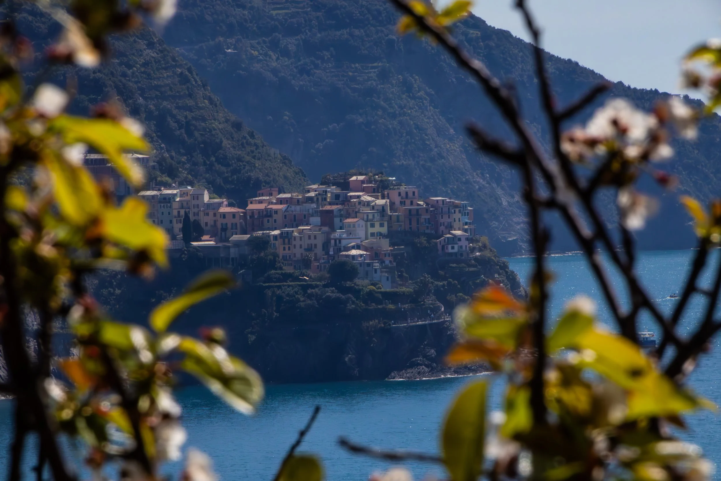
I arrived in Italy pretty directionless, so their vivid descriptions of discovering beautiful seaside towns along the Italian Riviera that were completely void of tourists were enough to sell me. Of course, that was the 1980s, and today it isn't quite the same, but Cinque Terre is still incredible.
Buckle in.
With places like Florence and Rome literally at my fingertips, it might be considered an odd move to choose to visit Genoa instead. Genoa had always fascinated me though. Nobody ever talks about it, but, if Google Images was to be believed, it's a gorgeous seaside city! Let's check it out...
Восточная Европа | ανατολική Ευρώπη | Կովկաս | კავკასია
Language: Armenian | Currency: Dram (AMD)
Language: Czech | Currency: Koruna (CZK)
Language: Georgian | Currency: Lari (GEL)
Language: Polish | Currency: Euro (EUR)
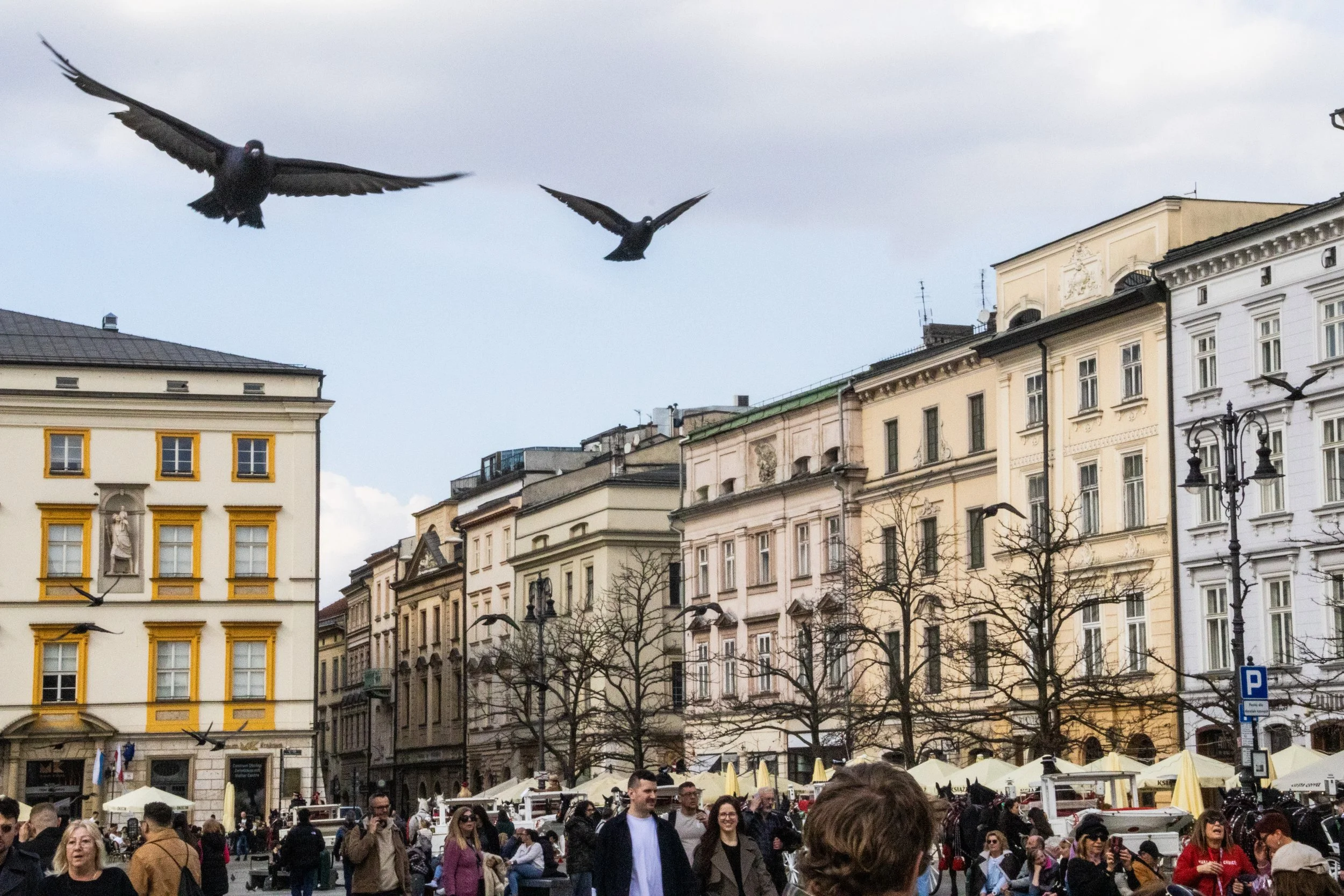
Literal paradise.
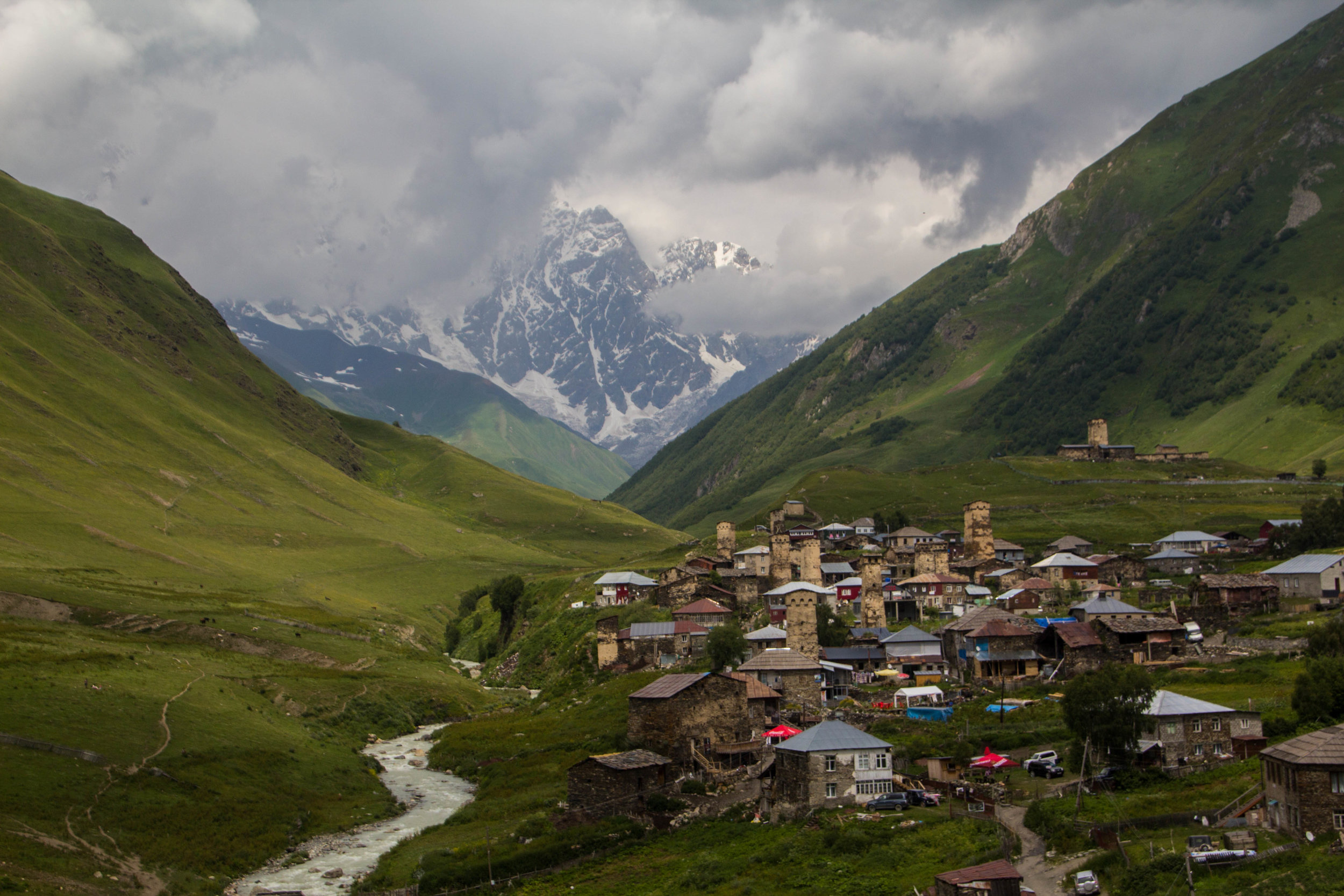
Ushguli is a small cluster of towns that sits right on the Georgia-Russia border in the mountainous northerly region of Svaneti. It’s remote, difficult to access, and it’s got a population of less than 250 people. And yet, a quick Google image search for Georgia (the country of Georgia) will often return images of Ushguli even above images of the capital city. Clearly there is something special about this place.
Once we got a bit closer to the city center, the vibes quickly became more difficult to categorize. Fast forward a few hours and I was in my happy place: out on the streets with my camera. I was eager to jump to conclusions, but the further I walked the less I sure I became of what I thought I knew. Some times I would pick up Middle-Eastern vibes from open-air restaurants in city squares, other times I would get European vibes from the little Armenian bakeries tucked away somewhere on every block. And the architecture on those blocks sometimes seemed to be European-adjacent… but then on the next block the buildings were giant, brutalist concrete blocks, serving as a striking reminder of Armenia’s Soviet past.
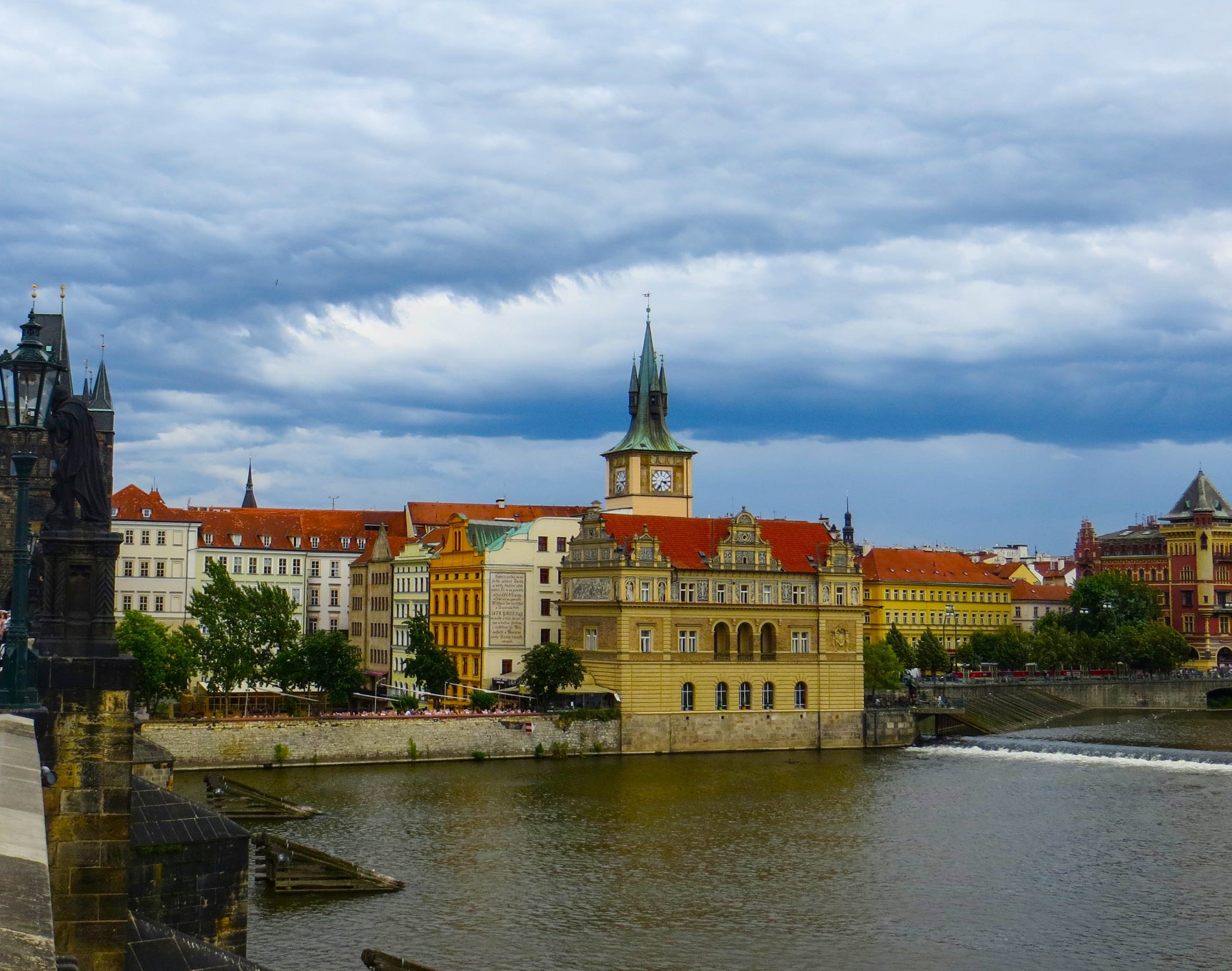
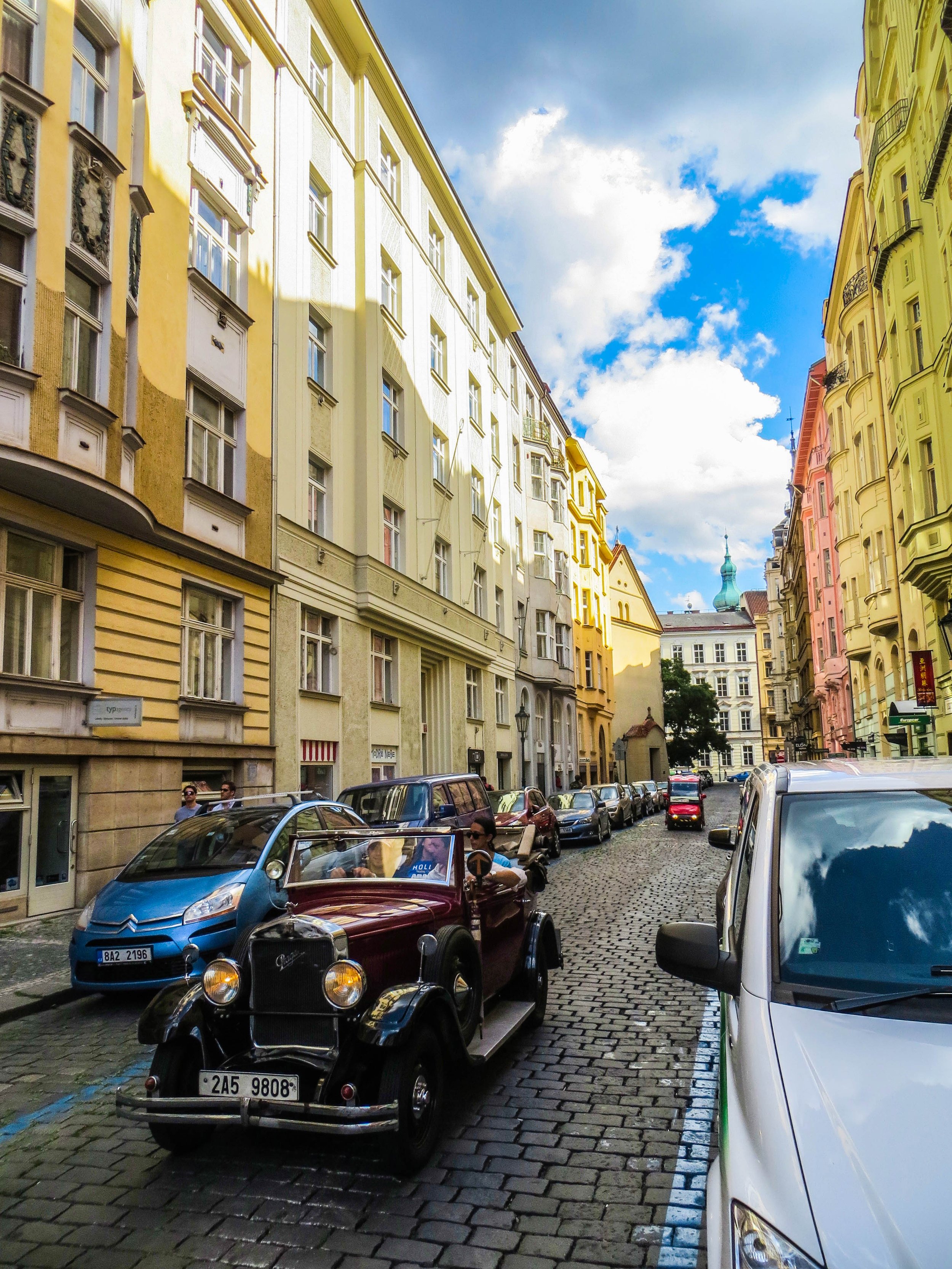
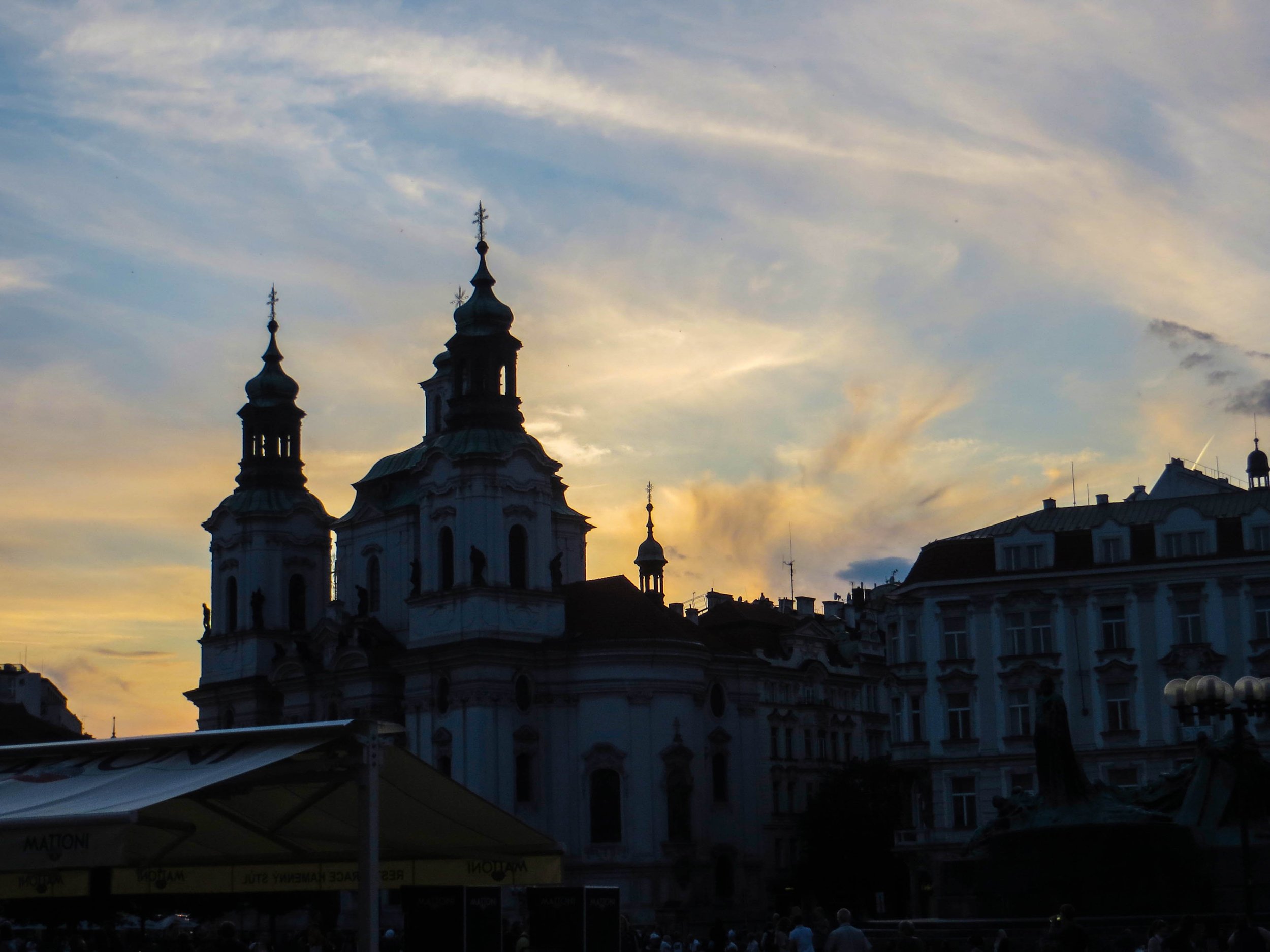
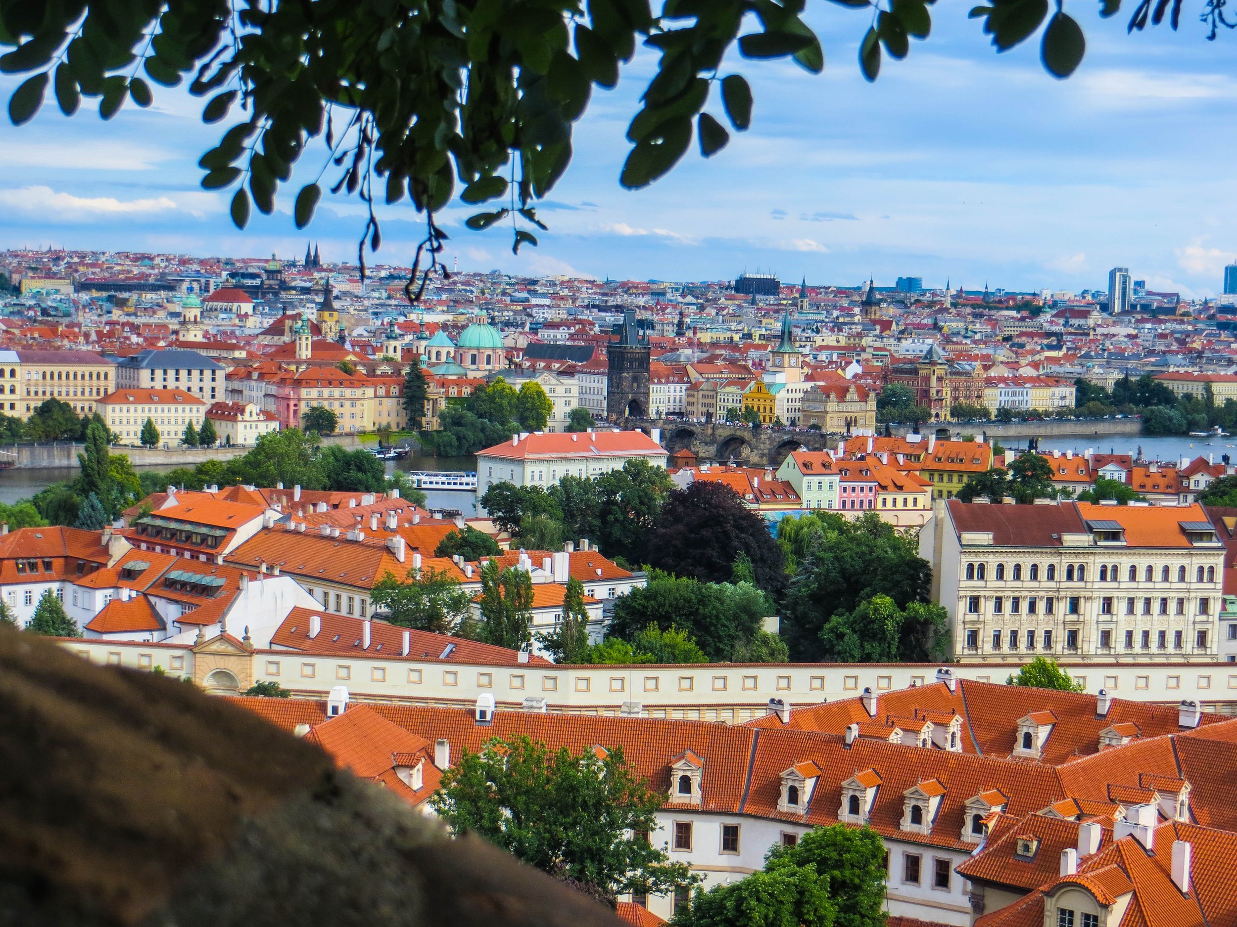
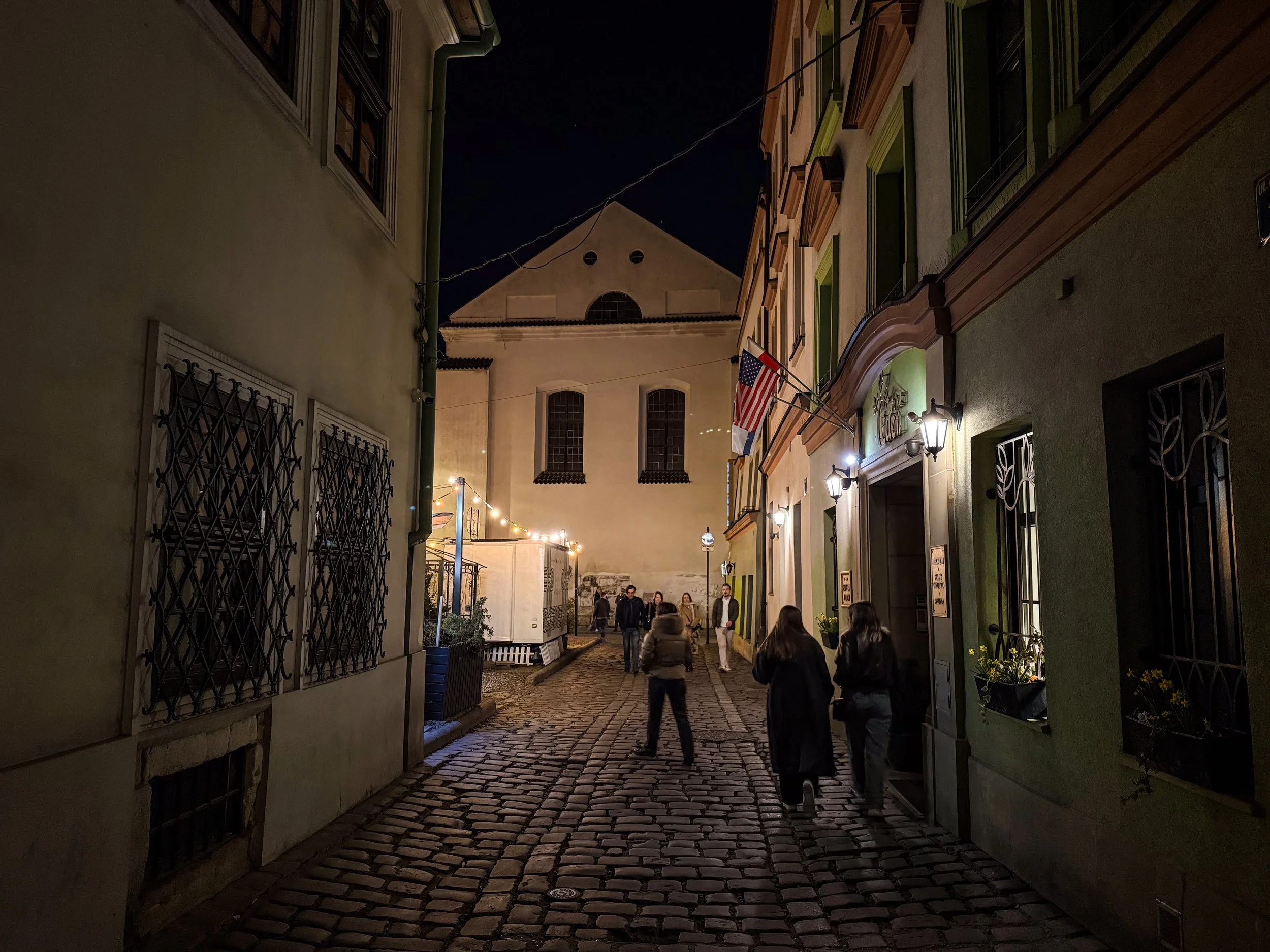
Prague is the historical capital of Bohemia. Through the last few hundred years, the boundaries in this part of Europe have been notoriously fluid. The map here has been redrawn quite a few times as Empires have risen and fallen, but Bohemia has always been a notable region with a strong cultural identity. Today, Bohemia is more or less synonymous with the Czech Republic (formerly part of Czechoslovakia, and recently renamed to simply “Czechia”). With 2.6 million people living in its metro area, it’s the 14th largest city in the European Union. However, what it lacks in size relative to other European capitals, it more than makes up for in clout. When it comes to history and culture, few cities pack a punch in quite the same way Prague does.
الشرق الأوسط | Մերձավոր Արեւելք | خاورمیانه
Language: Arabic, French, Berber | Currency: Dinar (DZD)
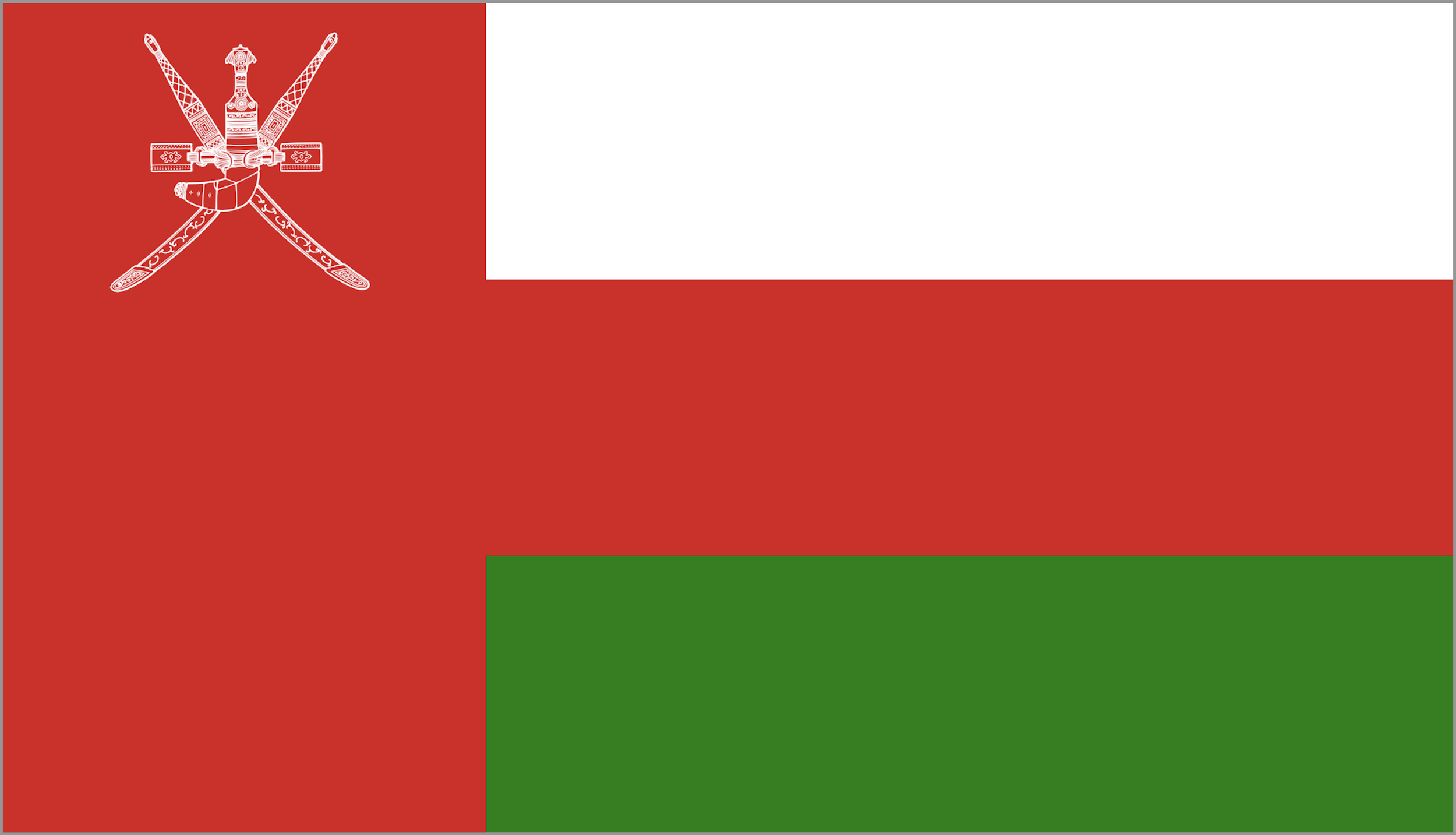
Language: Arabic | Currency: Rial (OMR)
Language: Arabic, French, Berber | Currency: Diner (TND)
Language: Turkish | Currency: Lira (TRY)
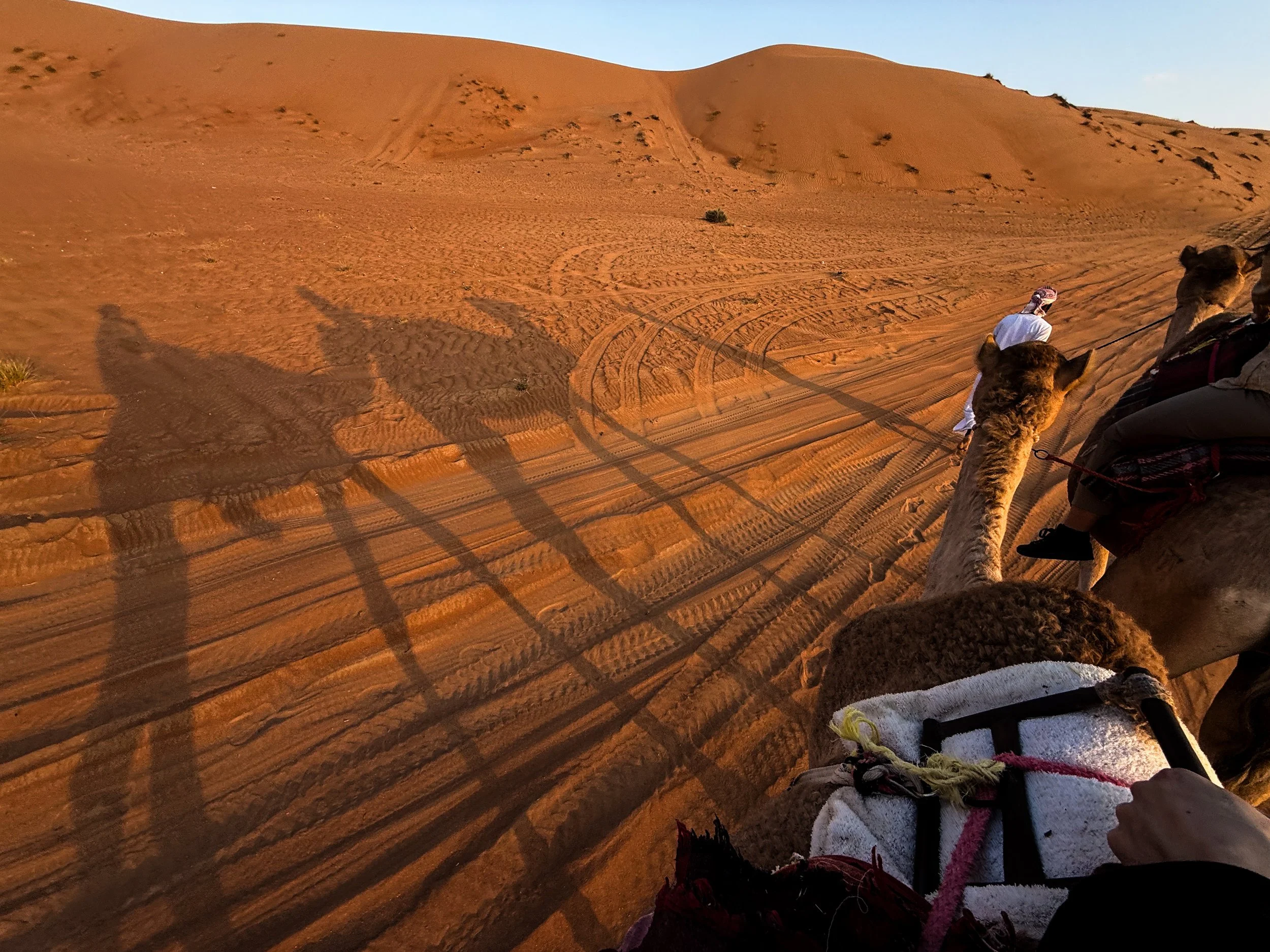
From Saudi to the UAE, to Yemen, to Oman, there are all lots of sub-regions of the Arabian Desert, which have emerged over time based on a combination of local tradition, geographical features, and scientific classification. The geography of this particular corner of the desert is largely dominated by long, parallel dunes (also called longitudinal dunes). A single dune can stretch from 5–20+ km (3–12+ miles) in length. And, in terms of height, they can reach 100 meters high (330 feet). To put that into perspective, that could be roughly equivalent to a 30-storey building!
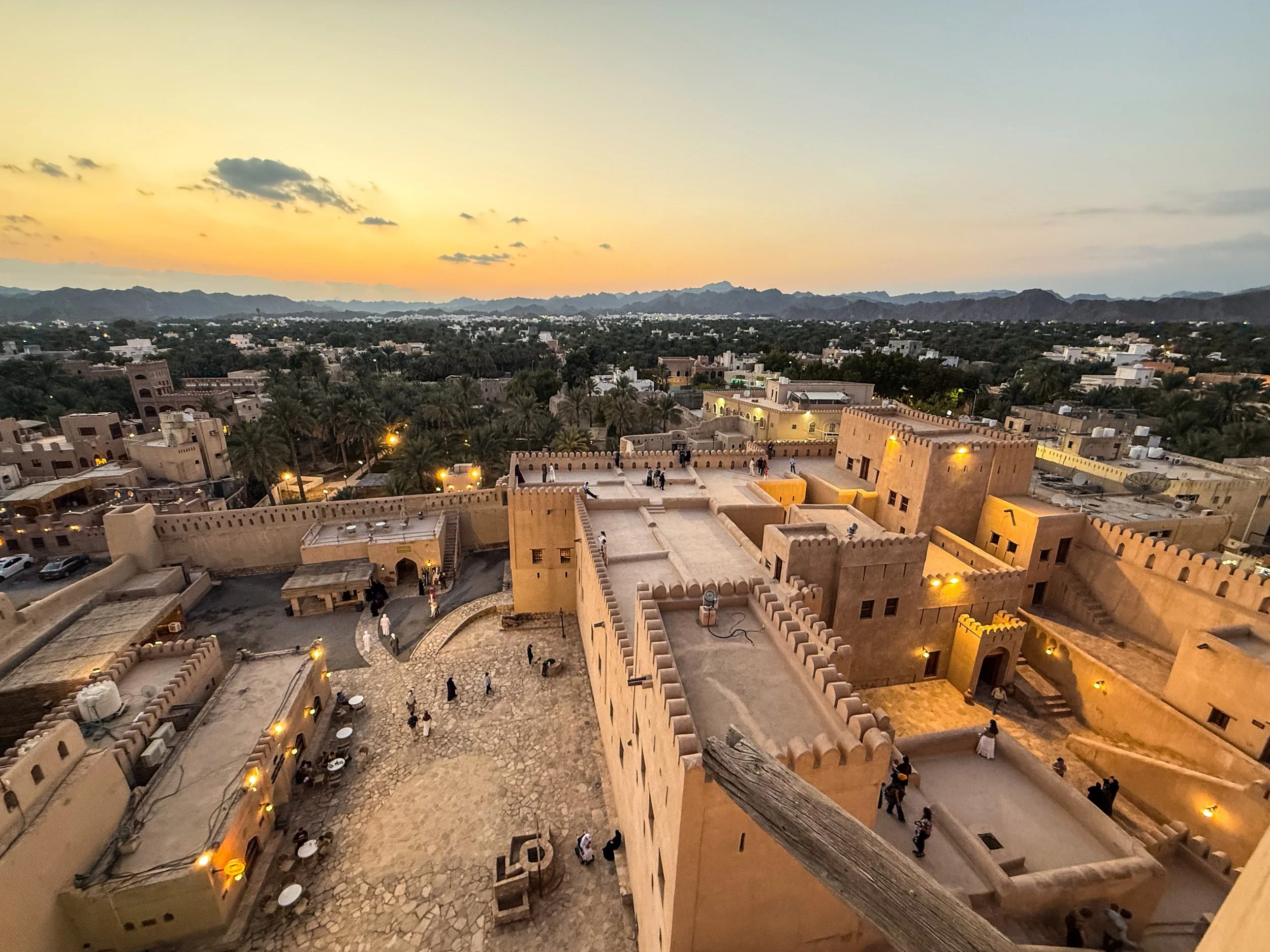
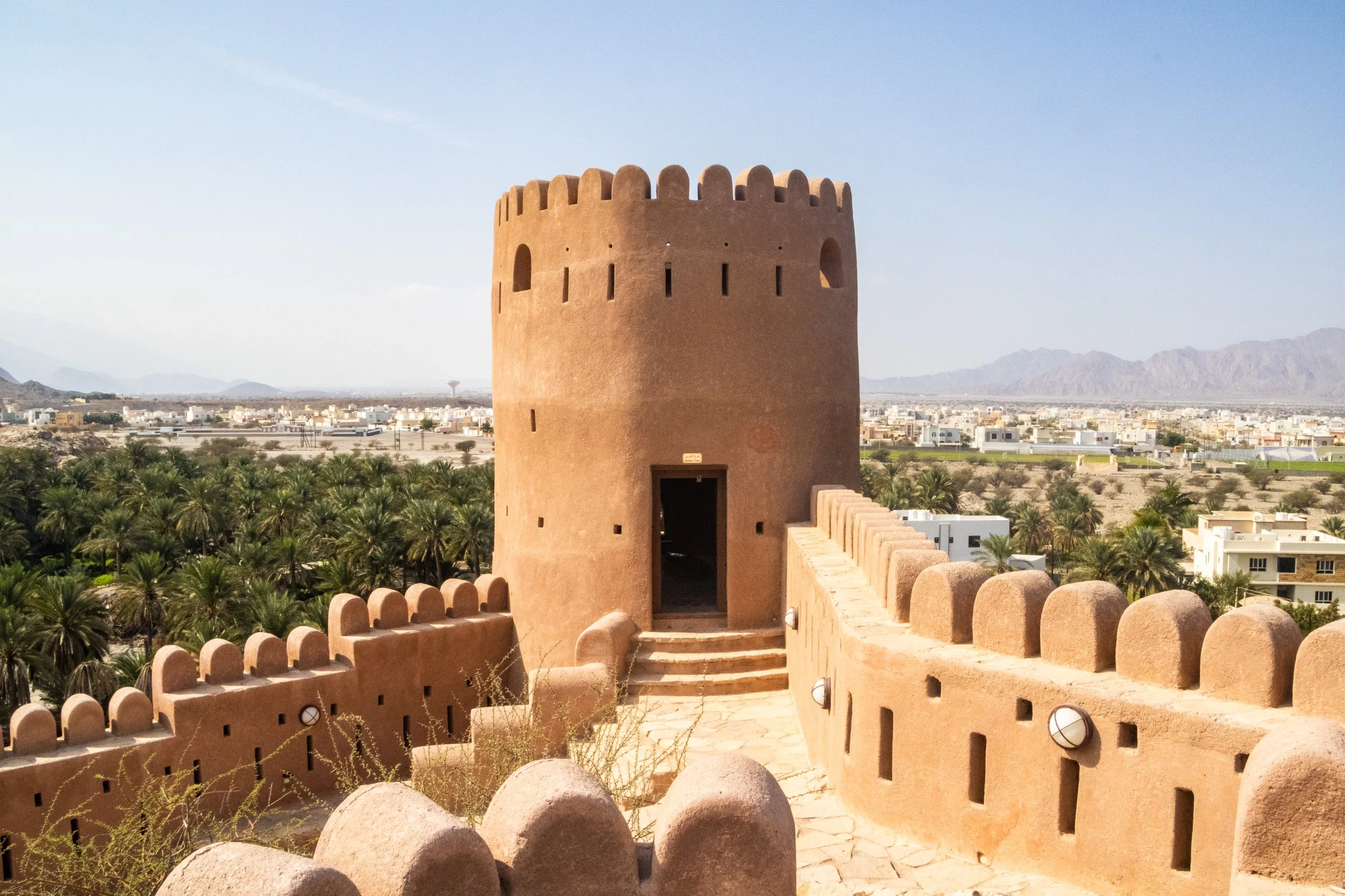
The theme of today is old Arabian fortresses scattered throughout Oman’s Al Hajar mountains. Oman has a lot of these old relics, and we’re going to be visiting 3 of them. We’ll start with Nakhal Fortress, move on to Bahla Fortress, and finish with Nizwa Fortress, which is actually part of a very cool little town bearing the same name. In the past two articles, there was a LOT of information about Oman and the geopolitical neighborhood it calls home. Admittedly, during these articles I was still getting my feet under me in this new country. But this is where we’re going shift gears from educational exploration to something a bit more fun.
So, go use the bathroom now because it’s about 1 hour from Muscat to Nakhal, and we’re not going to stop until we get there. 👀
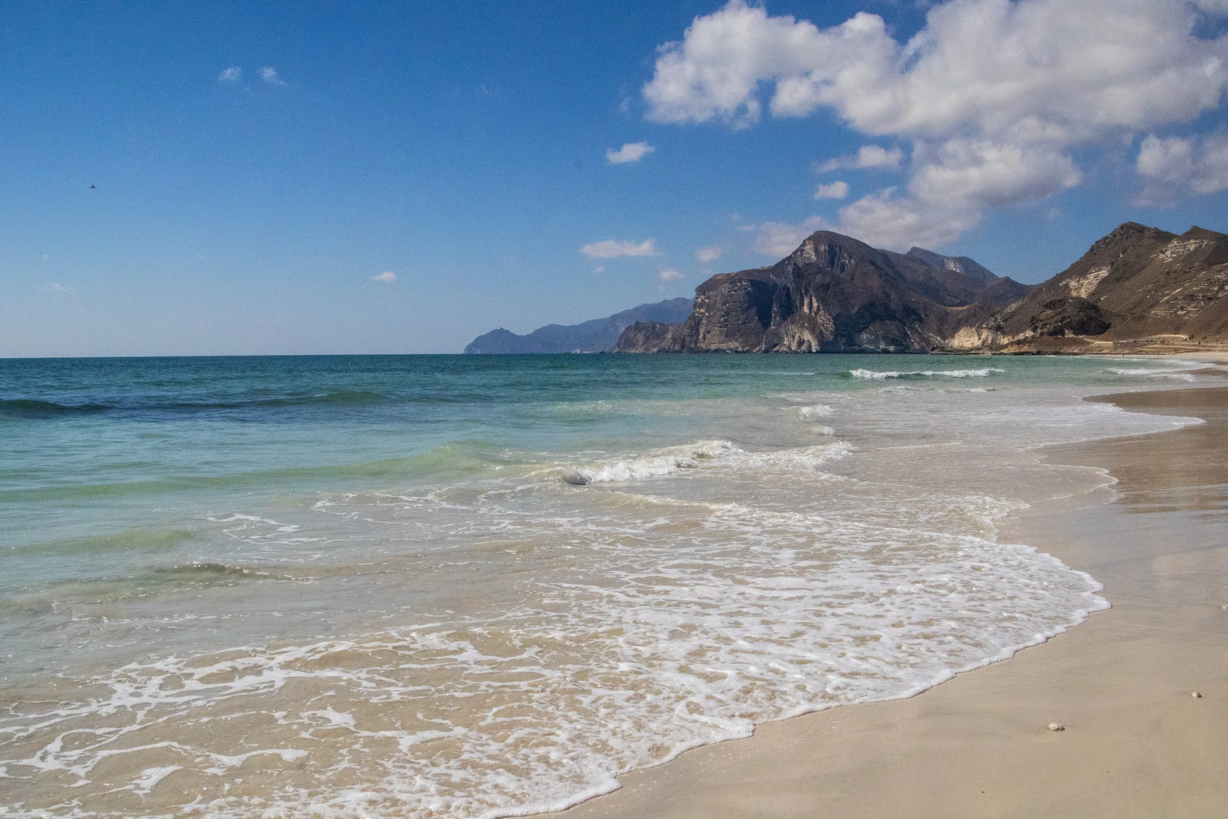
The first time I learned about Dhofar was actually in a BBC nature documentary! Although they are pretty obscure in the wider world, within Arabia the Dhofar mountains are quite famous for the incredible transformation they undergo each year during the monsoon season. During the “Khareef” (the local name for the monsoon season), this whole place transforms from a desert into a massive, green oasis! It happens from June to early September, peaking in July and August and, in addition to being misty and wet (already very unusual within the region), Dhofar also becomes much colder than the rest of the Gulf. There even seasonal waterfalls that pop up all over the mountainous landscape! During this time, there is a huge influx of tourist (mostly from Saudi Arabia and the UAE) that come in to enjoy the greenery and cool temperatures. There is even a Khareef Festival that happens during this time. UNFORTUNATELY, we’re not visiting during the Khareef. This visit happened in mid-December, so Dhofar will be in peak-desert mode.
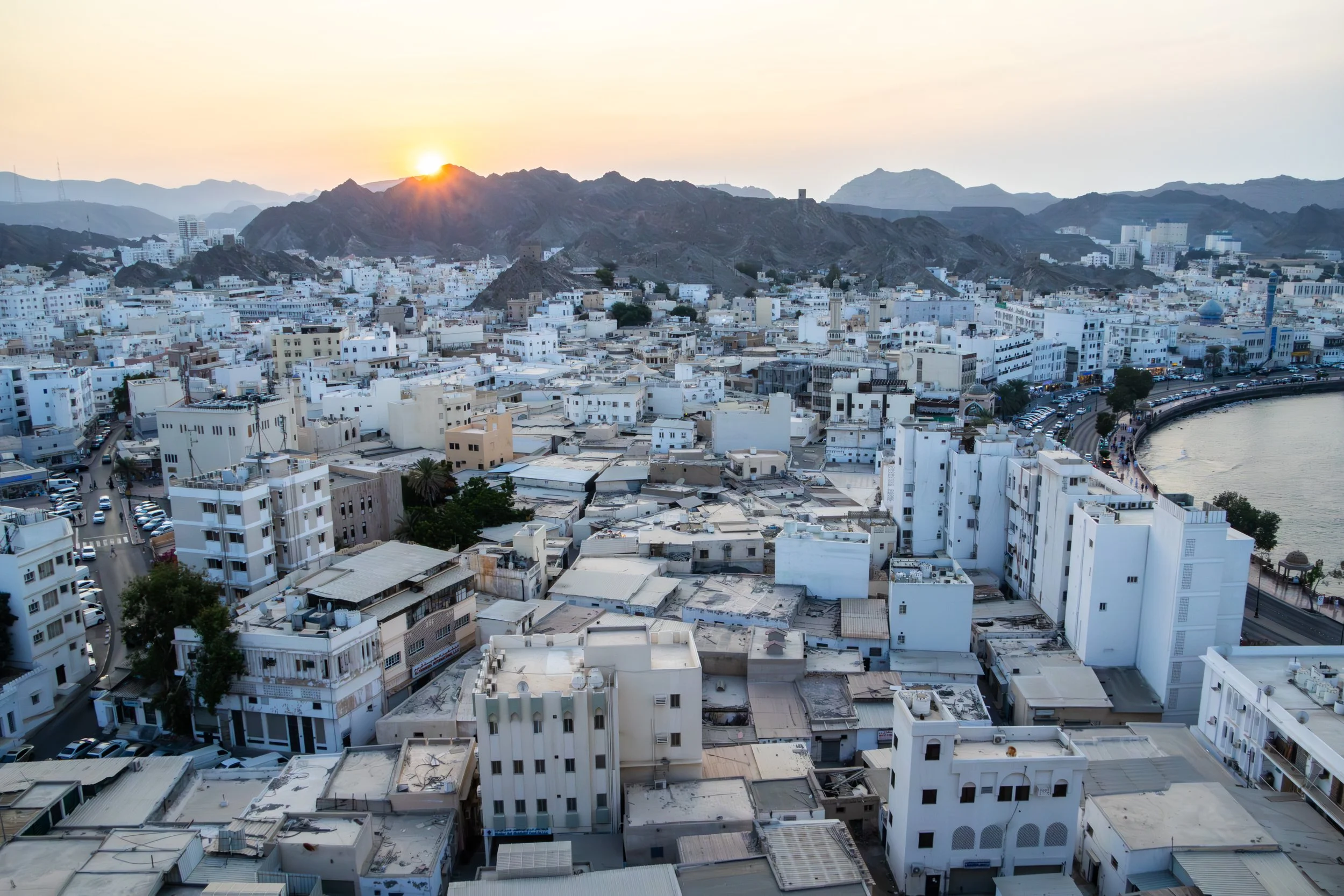
Bourdain said it best: “The Sultanate of Oman defies expectations”. It occupies a very tricky slice of the map indeed, a smaller nation holding its own against all odds in some extremely treacherous geopolitical waters. Its neighbors are the war-torn, perpetually-collapsing Yemen, the conservative and ruthless Kingdom of Saudi Arabia, the opulent, high-flying United Arab Emirates (UAE), and Iran, which needs no introduction. It also shares responsibility with Iran for the Strait of Hormuz; maybe you’ve heard of it? Literally the entire world has had their eyes glued to this strategic global choke point on the world’s oil supply for the past few months… things are TENSE. And right in the middle of this pressure cooker sits Oman: safe, moderate, reserved, modest, welcoming, and beautiful.
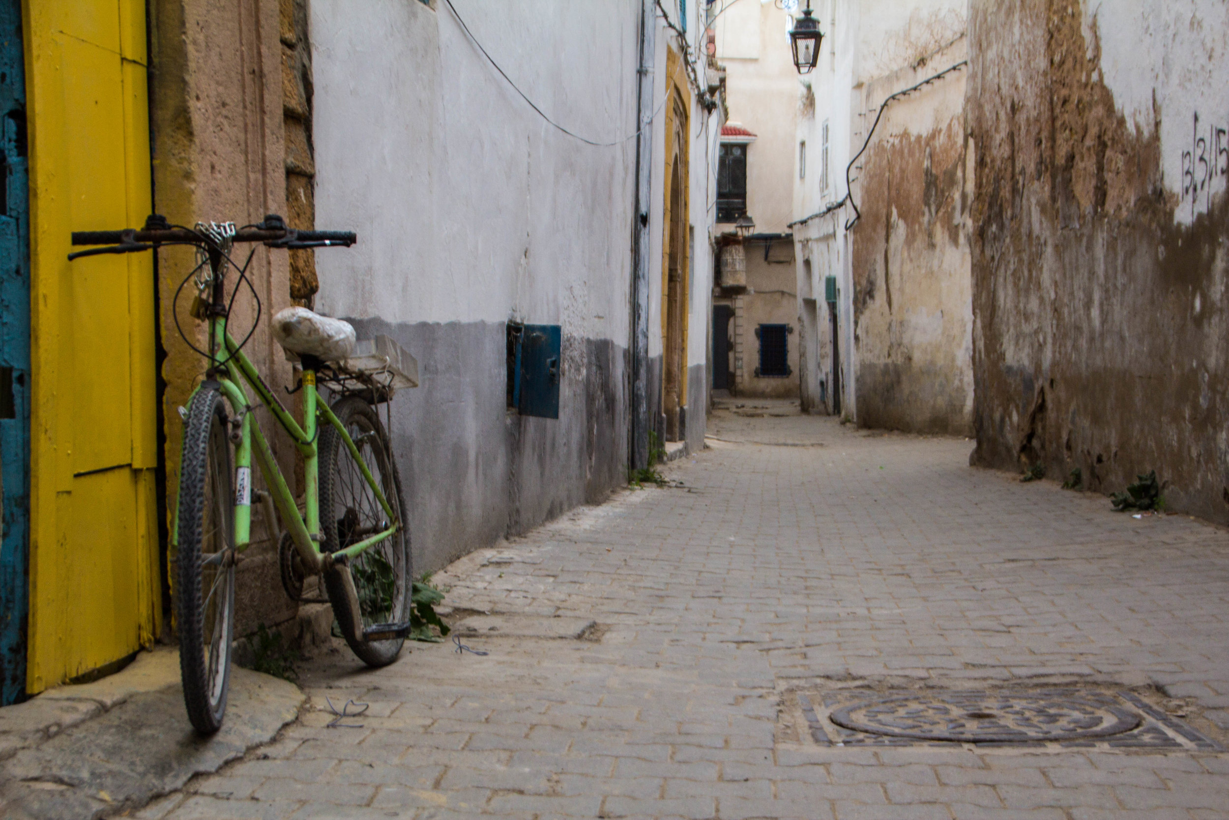
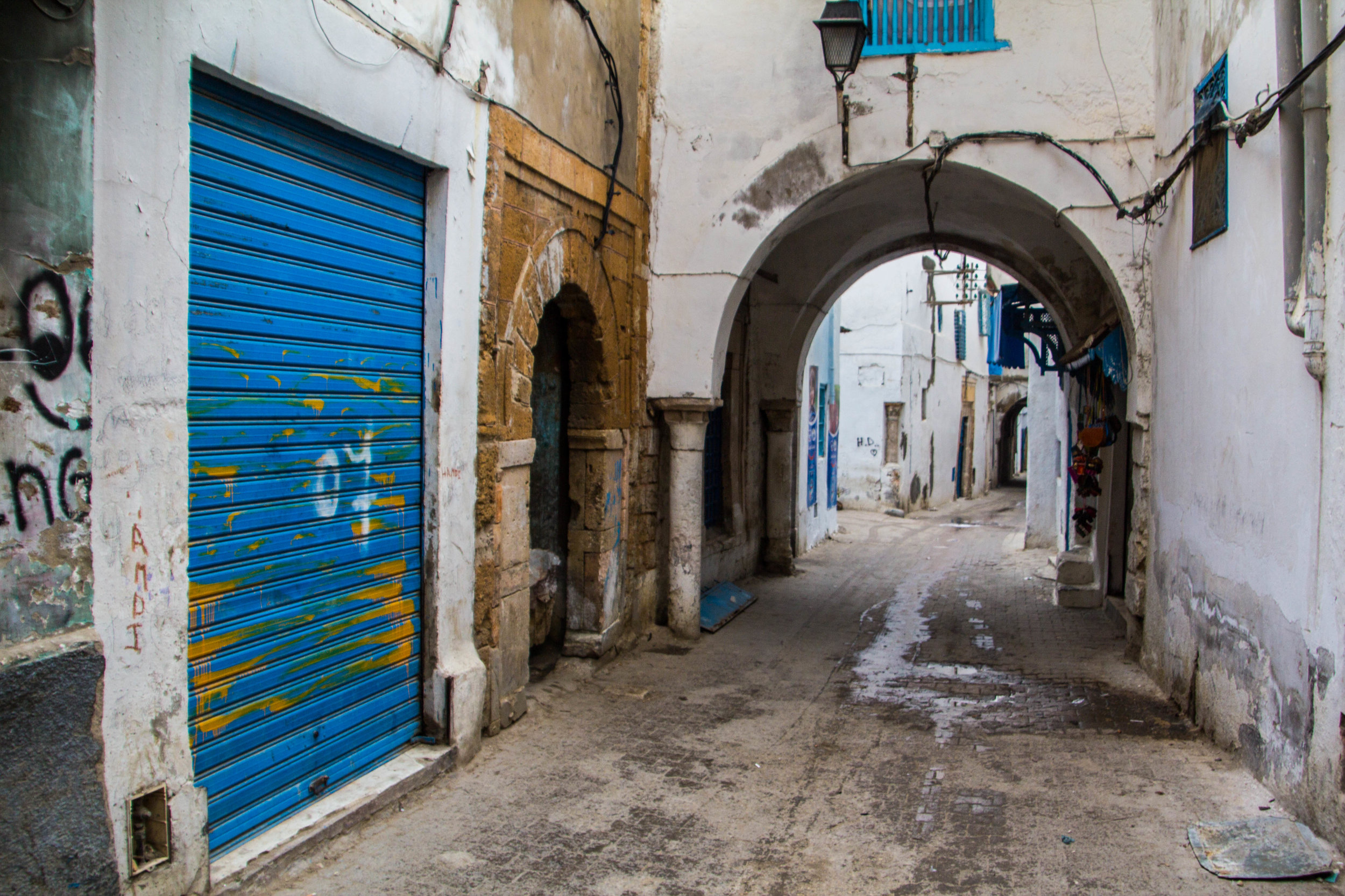
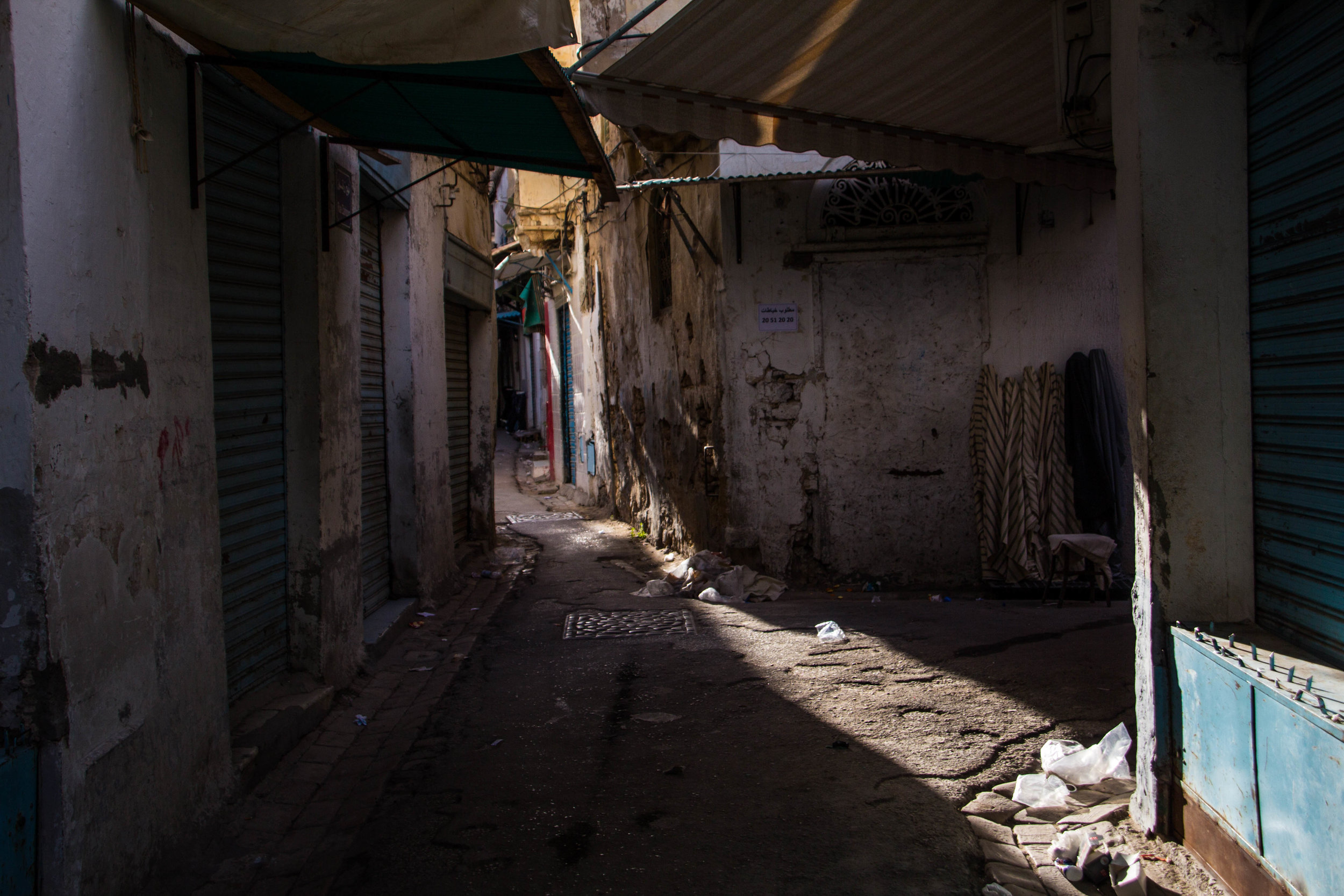
Tunisia was going to be my second country in Africa, so I was excited to at least get a taste for it. We didn't have much time here, but we would still be able to see a decent chunk of Tunis. The flight here from Algiers was short but green and scenic as we made our way horizontally across the top of Africa. And as our plane made its final decent over northern Tunisia, I was excited. Here are a few pictures I snapped out the window. Drink 'em in, because everything went to shit from here.
To finish this series on Algeria, we're going to dive headfirst into the legendary Casbah of Algiers. This is the oldest neighborhood in Algiers, and many locals would also say that it's the most dangerous. In fact, the vast majority of locals that we asked about it told us that they themselves would not walk through this neighborhood alone. Yikes!
Now, if you've been following this series on Algiers/Algeria, you know that I've been preaching about how unexpectedly safe Algiers turned out to be. So it might seem odd that I'm now telling you about a place that is supposedly so dangerous. Well let me kick this off with a spoiler for you: the Casbah isn't so bad.
أفريقيا | አፍሪካ | Afrika | Aprika
( Alphabetical Order )
Official Languages: Swahili, English | Currency: Shilling (KES)
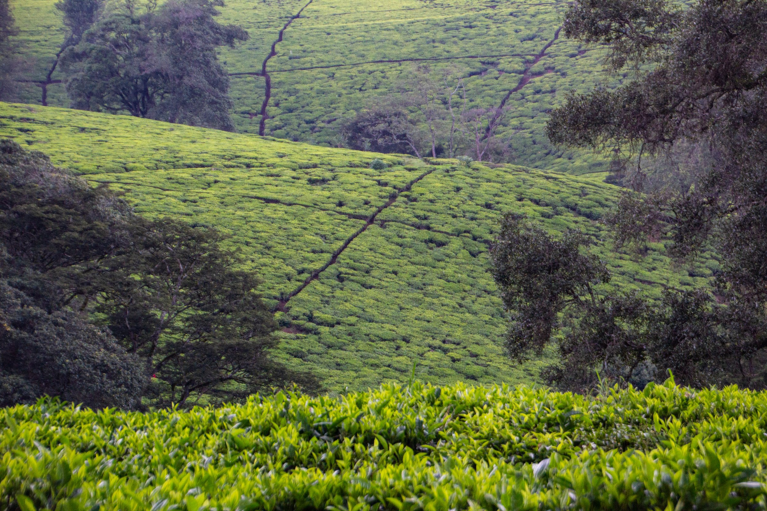
There was some rain that came through in the middle of our visit, so I got to see the light chance a good deal throughout this photo shoot. I look at these photos and I can almost hear the gentle sound of rain on the tea fields.
It was the British who introduced tea to Kenya in 1903. And, apparently the place where it was introduced was right here in Limuru! Today the majority of tea in Kenya is grown in the Kenyan Highlands, mostly on the upper slopes of the Great Rift Valley. As I understand it, a good proportion of it is concentrated on the slopes of Mt. Kenya. So, Limuru is definitely the easiest area of tea fields to access from Nairobi.
Clocking in at the projected 12th largest city in the world by 2100 (a title that is today held by Lagos, Nigeria), Nairobi is the capital city of Kenya, and by far its largest population center. The most common languages spoken here are Swahili, and then English (Kenya is a former British colony). This pretty much covers “mainstream” Kenya, but like most nations on this vast continent, there are a LOT more languages being spoken here in addition to these main 2. In fact, there are a total of 68 languages spoken in Kenya!
Tunisia was going to be my second country in Africa, so I was excited to at least get a taste for it. We didn't have much time here, but we would still be able to see a decent chunk of Tunis. The flight here from Algiers was short but green and scenic as we made our way horizontally across the top of Africa. And as our plane made its final decent over northern Tunisia, I was excited. Here are a few pictures I snapped out the window. Drink 'em in, because everything went to shit from here.
To finish this series on Algeria, we're going to dive headfirst into the legendary Casbah of Algiers. This is the oldest neighborhood in Algiers, and many locals would also say that it's the most dangerous. In fact, the vast majority of locals that we asked about it told us that they themselves would not walk through this neighborhood alone. Yikes!
Now, if you've been following this series on Algiers/Algeria, you know that I've been preaching about how unexpectedly safe Algiers turned out to be. So it might seem odd that I'm now telling you about a place that is supposedly so dangerous. Well let me kick this off with a spoiler for you: the Casbah isn't so bad.
Today we're going to be doing a double-header: Cherchell and Tipaza. These places are not quite on the level of Timgad, but they are still going to be interesting and gorgeous. So buckle in kids! It's time to drive out into rural Algeria for some adventuring!
So, if you've been following this series on Algeria, you know that I was traveling with my mother. One little-known fact about my mom is that she's secretly a bad-ass and had actually lived in Algeria briefly in 1980. So this was a long-awaited return trip for her. During that time, although she did spend some time in Oran and Algiers, the majority of her stay was spent in a tiny town called Cherchell (pronounced "share-shell")...
In the previous article, I spent significant time gushing about how much I loved this city but I also talked a lot about the geopolitical isolation of this place. Most people even can't place Algeria on a map, and I want to change that.
But what if you decide you want to come here? What the hell are you going to do while you're here? What does "sightseeing" look like in Algiers?
That's what we'll be discussing today!
Төв Ази | وسطی ایشیا | दक्षिण एशिया | தெற்காசியா
Language: Bengali | Currency: Taka (BDT)
Language: Hindi, Tamil, etc. | Currency: Rupee (INR)
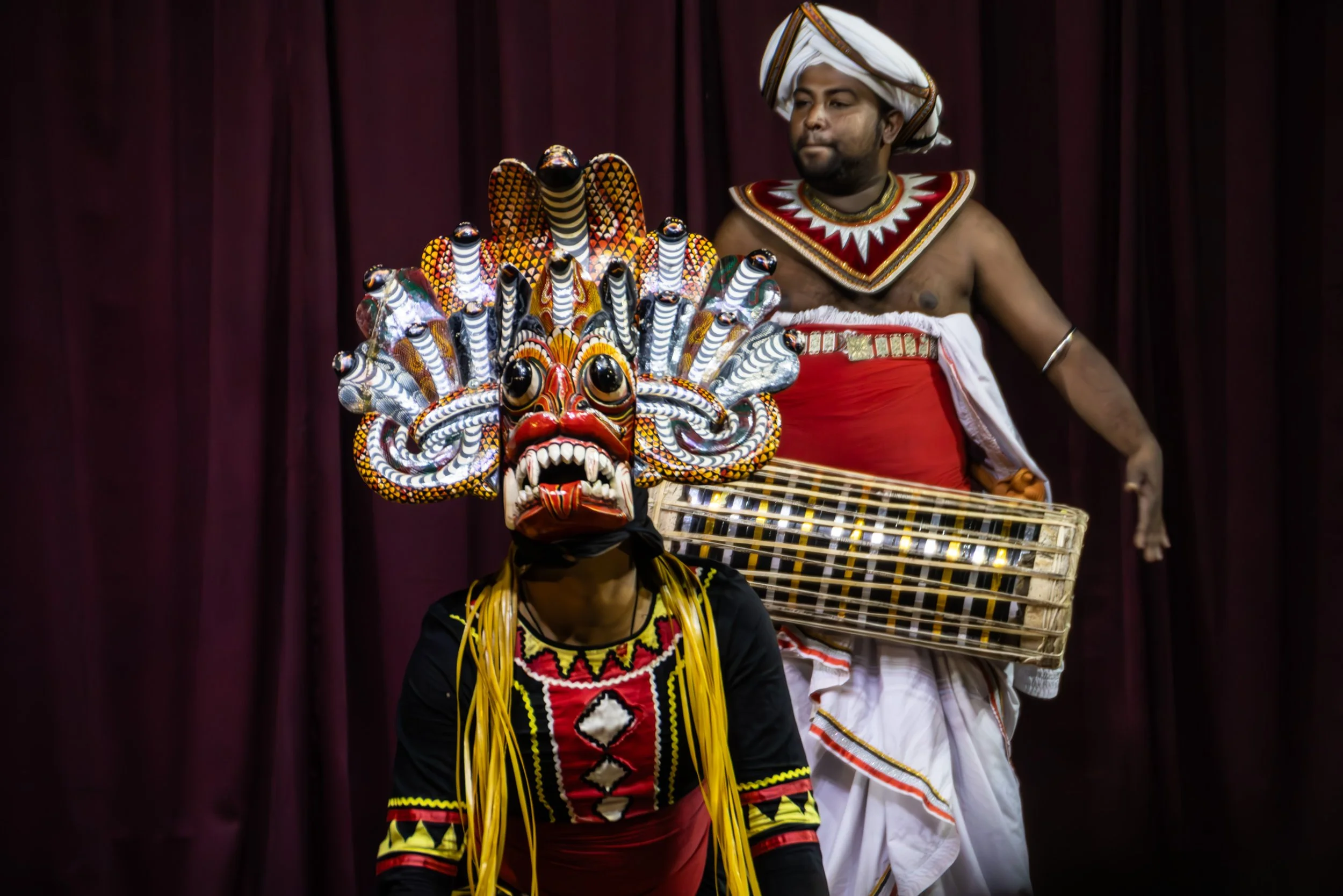
Language: Sinhala, Tamil | Currency: Rupee (LKR)
GALLERY COMING SOON
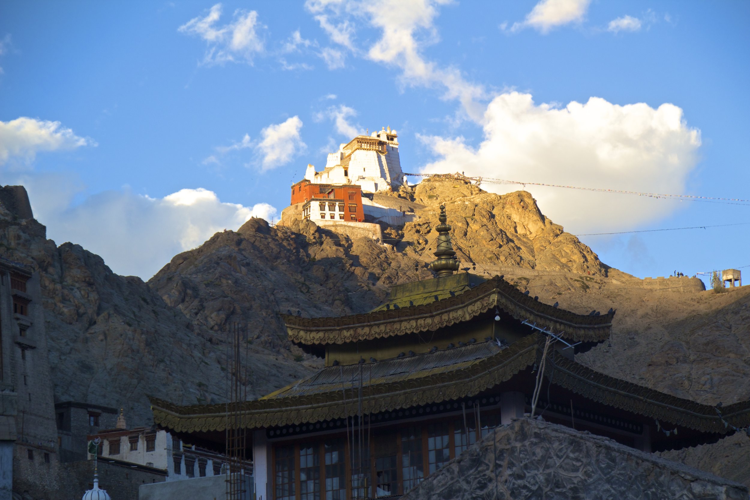
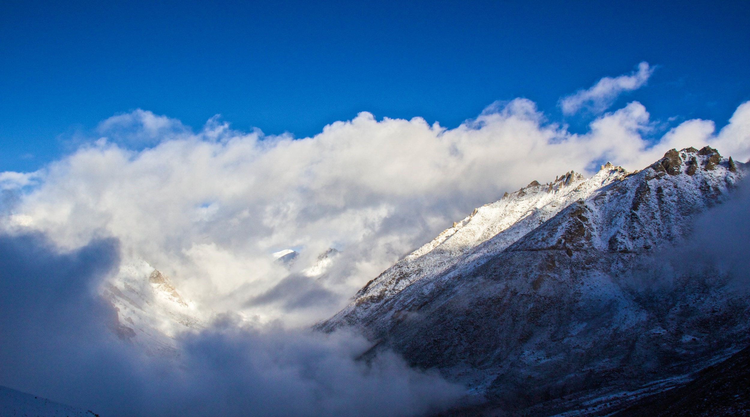
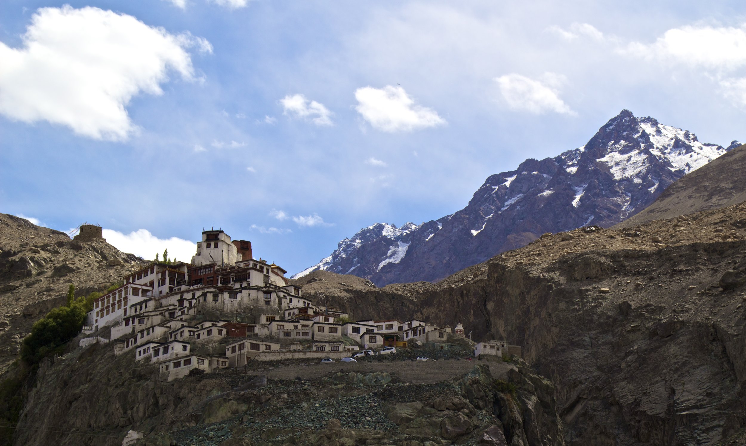
Langauge: Tibetan | Currency: INR + CNY + NPR
Mumbai's Kamathipura is the oldest red-light district on the Indian subcontinent, and is the 2nd largest on the entire continent of Asia. The 1st largest is Calcutta, which is something that I didn’t realize when I was actually there. If I had we probably would have paid it a visit, like we're about to do in Mumbai.
Welcome to Rajasthan! Land of those awesome, stereotypical, curly mustaches that Indians have. I have been looking forward to coming to this province of India for a while now. So let’s get started. My first stop in Rajasthan was a city called Pushkar. The jumping off point for this little gem is a city called Ajmer.
It was another 20 or 30 minutes through the canyon before we finally saw Turtuk off in the distance. As we approached, the canyon grew wider ahead of us, and we saw a small collection of trees. It wasn't long before we were in the middle of those trees, and I was taken completely by surprise by what we found. Tucked away in such a remote part of the Himalayas, Turtuk was like a lot like Shangri-La. Despite its harsh, rugged surroundings, this village was a little slice of heaven.
At 18,380 feet (or 5,602 meters) above sea level, Khardungla Pass is the highest motorable road in the world. To put altitude in perspective for you, that's almost 13 times the height of the Empire State Building. It's a little less than the length of 115 (American) Football fields. It is the equivalent to about 3.5 miles. It is also 780 feet higher than Everest Base Camp.
So let's get into it!
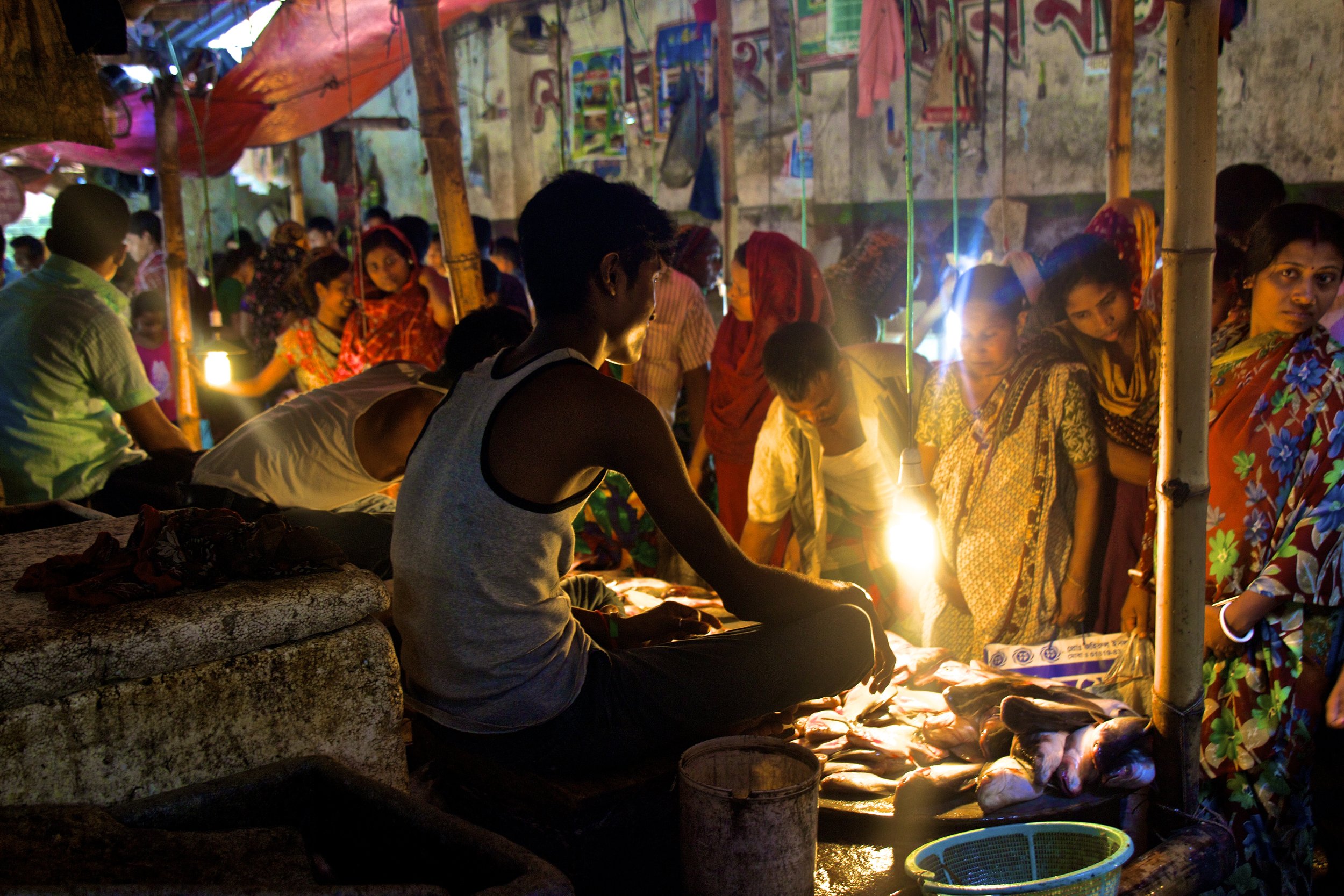
Waking up in Dhaka I hear the ringing of bells on rickshaws, people yelling, and dogs barking. I am staying on the 9th floor of an office building that rises high over the slums on Dhaka’s southwestern outskirts. I look out the window, and I can see a rainstorm blowing in from the south. The Muslim call to prayer eerily wafts over the half-finished buildings all around me from the local mosques.
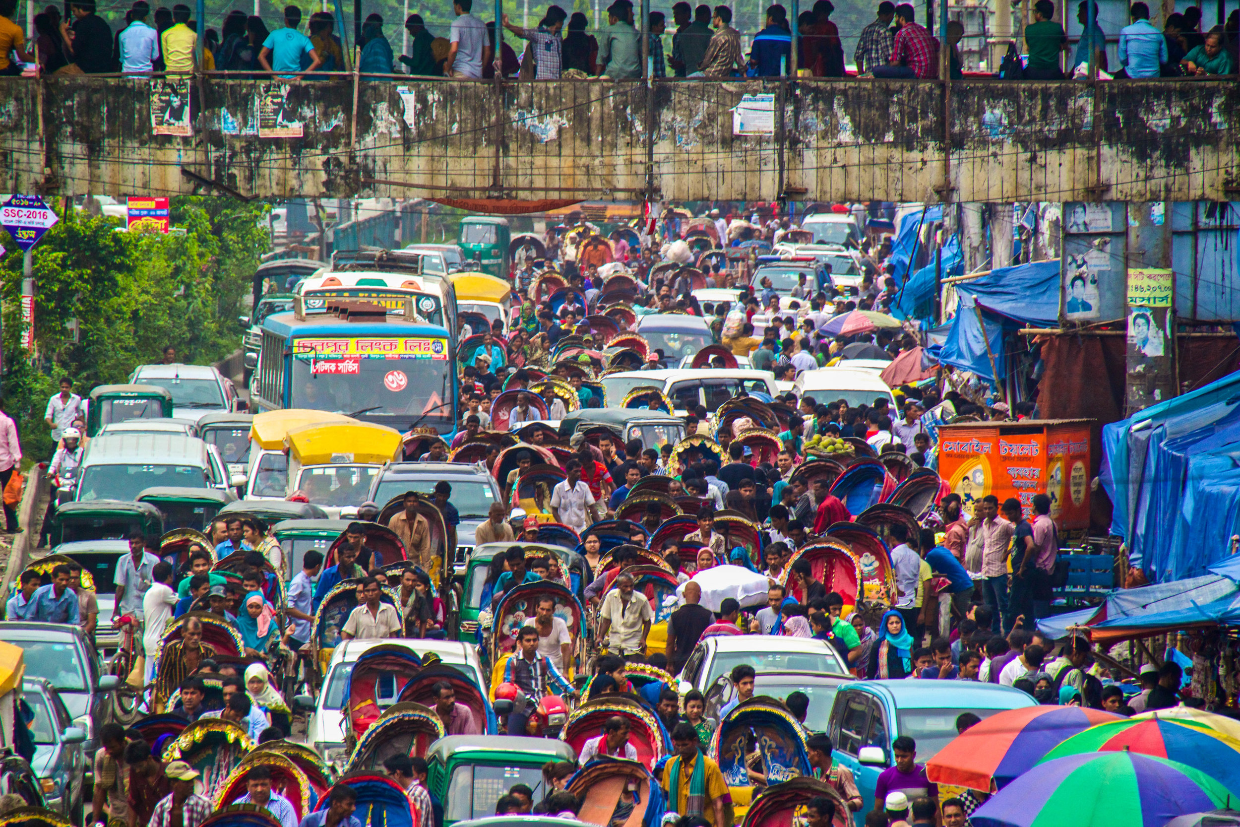
Yes, Dhaka has consistently been ranked as the #1 most “unlivable” city in the world by publications like The Telegraph, Business Insider & etc. It is mostly competing with Harare, Zimbabwe for that title. I’ve been here for a little while now, and I can 100% understand why. Thanks to overcrowding, traffic, and muddy rivers running through the streets, it takes 3 hours to get from one side of the city to the other on a normal day. The commute is stressful, deafeningly loud, and always wet, due either to sweat or torrential rain. Kind of makes you just want to never leave home, if possible.
But let’s just start from the beginning.
East + Southeast Asia
극동 | 東アジア | ตะวันออกไกล | အရှေ့ဖျား | 远东
East + Southeast Asia
극동 | 東アジア | ตะวันออกไกล | အရှေ့ဖျား | 远东
Language: Khmer | Currency: Riel (KHR)
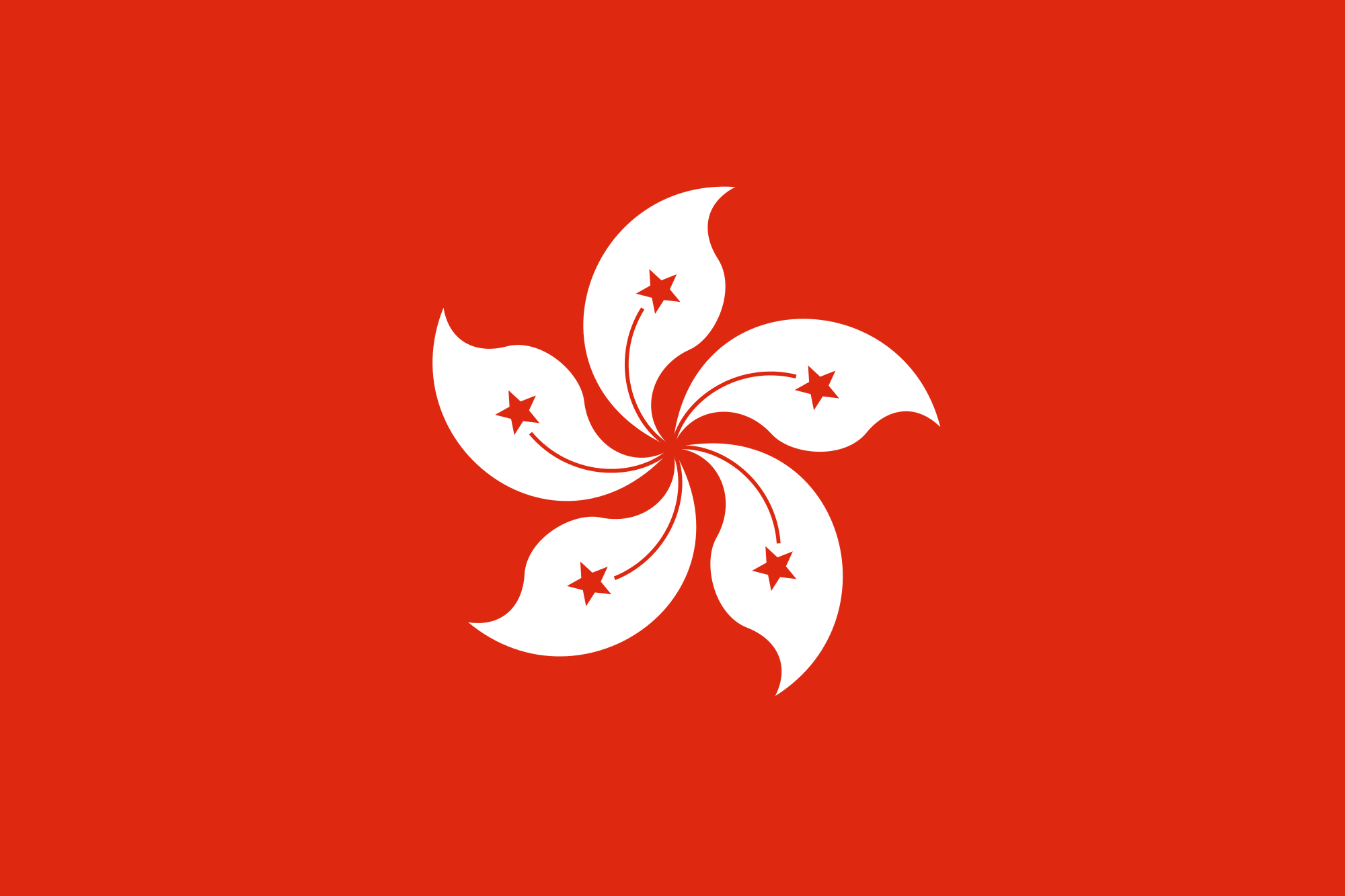
Language: English, Varied | Currency: Dollar (HKD)
Language: Indonesian | Currency: Rupiah (IDR)
Language: Bahasa Melayu, Jawi | Currency: Ringgit (MYR)
Language: Burmese | Currency: Kyat (MMK)
Language: English, Varied | Currency: Dollar (SGD)
Language: Thai | Currency: Bhat (TBH)
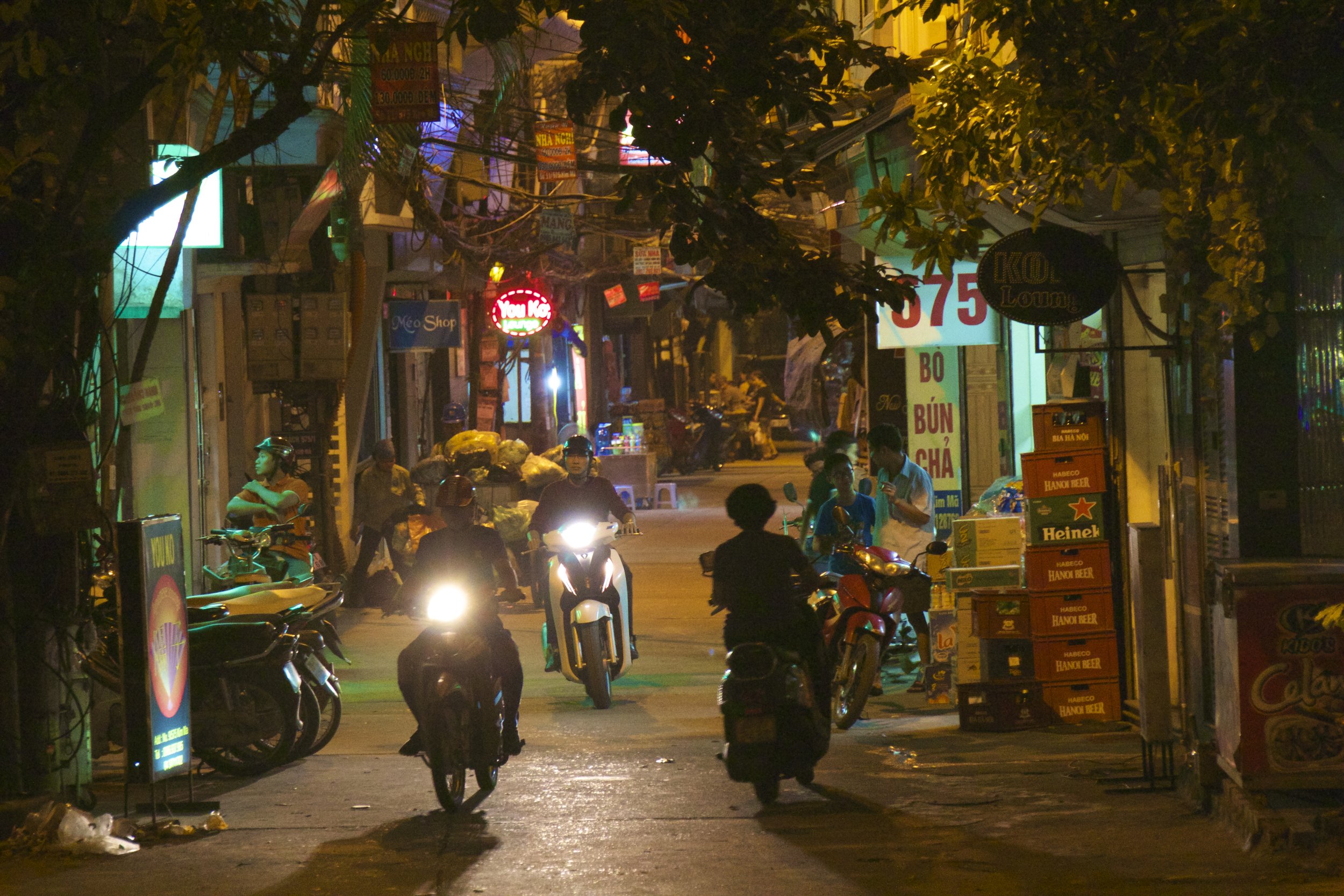
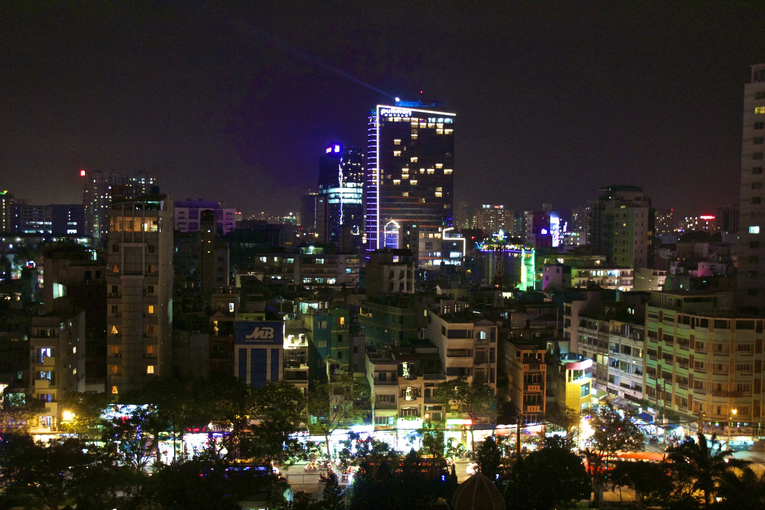
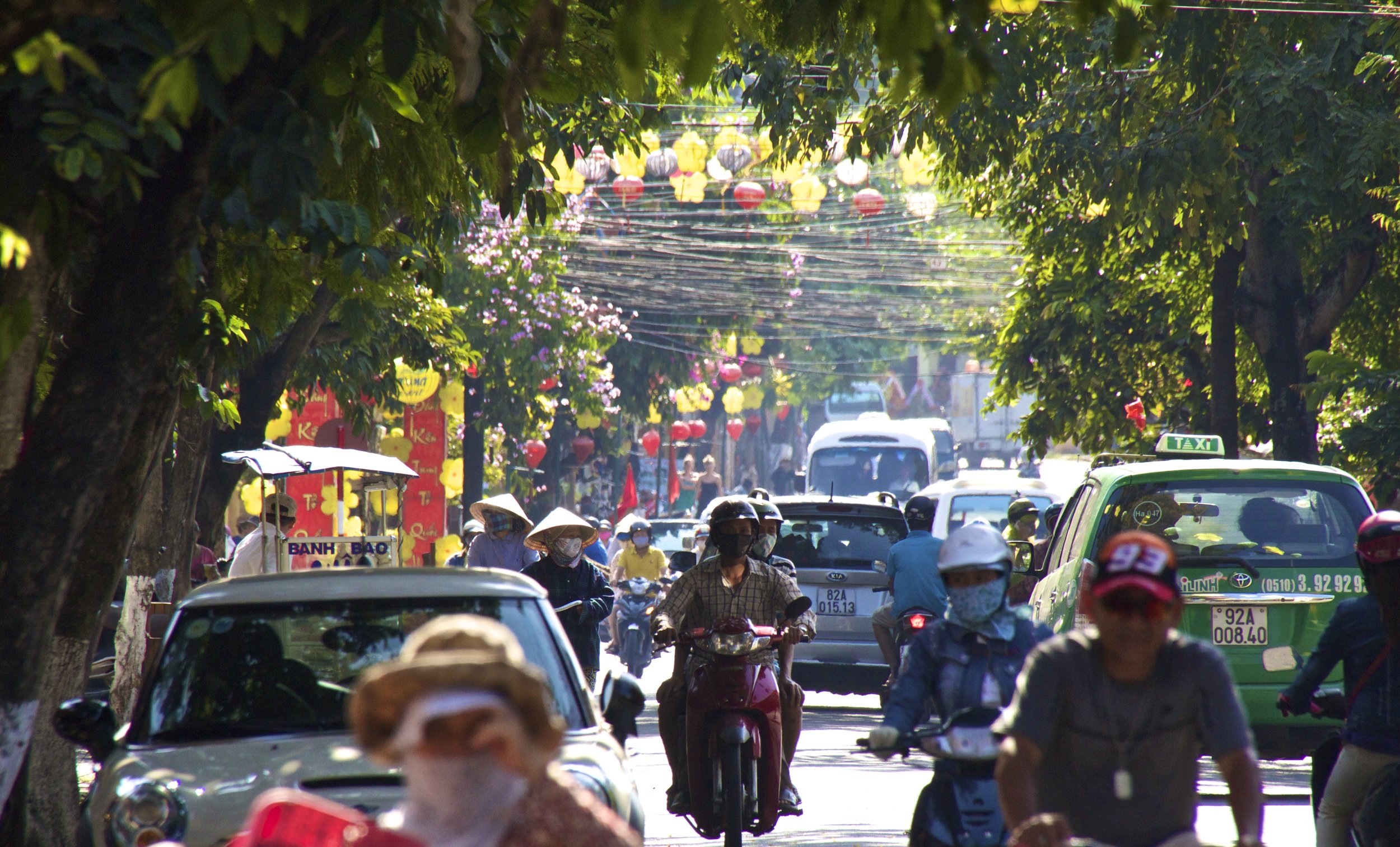
Language: Vietnamese | Currency: Dong (VND)
Bagan is an enormous temple complex, not unlike Angkor in Cambodia, about 430 miles north of Rangoon (Yangon). Unlike Angkor however, Bagan is still relatively unknown to tourists. Imagine going to Angkor 50 years ago, before backpacking became a thing. That is Bagan. Unlike Angkor Wat, there are no guards or signs. Literally the only rule is to take your shoes off before entering a temple. That is the Buddhist custom.
When I got to the ticketing counter for Tiger Air, I told the woman at the counter that I was traveling to Yangon. She looked skeptical. “You’re traveling to Yangon? Really?” she said, squinting.
“Uhh… yes?” I replied groggily.
I was required to go through security twice before I got on my flight (the second time at the gate) and when I finally did, the plane was only about 1/3rd full. It was not a smooth flight, so while I’m white-knuckling my seat, let me fill you in on Burma really quick.
Angkor Wat is perhaps, behind the Great Wall of China, the most recognizable landmark in all of East Asia. But despite its fame, is actually one of the smaller members in a much bigger complex of temples. Angkor is an area of about 20 square miles, containing more than 200 temples. Angkor Wat is special amongst these temples because it is perhaps the best preserved. This is thanks in part of the giant moat that surrounds the temple, keeping the jungle from swallowing it back up like so many of the other temples in Angkor.
With the 40-year anniversary of the end of the war between Vietnam and America in a few days, the timing of this was fortuitous. Our story begins with a dinner, as many of my stories do. One of my former students, Linh (pronounced “ling’), had invited me to have dinner with her and her family. Soon they would be leaving for Newfoundland, Canada. They would be living in a small college town on the Eastern coast while her husband, Dzung (pronounced “zoong”), earned his Ph.D. At the end of this dinner they invited us to come to Bac Ninh Province (just North of Hanoi) to have a large dinner with their extended family.
The rest of us, strangers to one another at this point, looked at each other, and then with an uneasy shrug climbed down onto the deck of this tiny boat. It bobbled precariously with every passing wave. One thing was certain: this was going to be interesting. So let’s fast-forward a little bit, shall we?
We were driving overnight and I was doing my best to sleep but it was tough with our bus driver trying to break some sort of land speed record on the winding, bumpy mountain roads. It didn’t help that I had to twist and mangle my long white-person legs into terrible positions to fit into my seat in the first place. We made it to Mù Cang Chải a little bit before sunrise. This town would serve as our ‘base camp.’
Norteamérica & Caribe | Amérique du Nord & Caraïbes
Language: English, French | Currency: Dollar (CAD)
Language: Spanish | Currency: Peso (CUP)
Language: Spanish | Currency: Peso (MXN)
Language: English, Spanish | Currency: Dollar (USD)
🔴 Red dots = Locations visited by Peter but not covered on this blog (yet!)
There’s a lot more to Bushwick than I’m going to cover here; it’s known for having a large Latino community, especially Puerto Rican and Dominican, and since the gentrification of Williamsburg, it has also become the new center of indie culture in Brooklyn. But that’s not what this article is about. Today, we’re here to go mural hunting!
We rode the L train to the Jefferson Street station in Bushwick, and basically from the moment I stepped out of the station, I was in mural heaven.
As one of the 5 boroughs of New York City (the others being Manhattan, The Bronx, Staten Island, and Queens), it’s home to some 2.6 million people, which—if it were a stand-alone city—would make it America’s 4th largest city, nearly as large as Chicago! It has a stand-alone GDP of approximately ~$120B, which—for context—is more than the country of Ethiopia.
While the ascent of NYC’s Chinatown may have coincided with the shrinkage of Little Italy, giving the impression that the former was “taking over” the latter, the truth is that, by the 1990s, both of them were under equal economic pressure from encroaching gentrification and rising real estate costs. In spite of that Chinatown didn’t start to shrink until the early 2010s. By that point, as had been the case with the Italian immigrants who’d followed a similar path before them to achieve widespread integration into American society, the next generation of this Chinese community soon relocated to other parts of the city, especially Queens and Brooklyn. And just like Italians are now an integral part of the New York identity, this Chinese community is part of the deal now! There are 4th and 5th generation people of Chinese descent walking around New York, which means their families have been here longer even than mine! Cue my recommendation for you to go watch Nora From Queens. Great show.
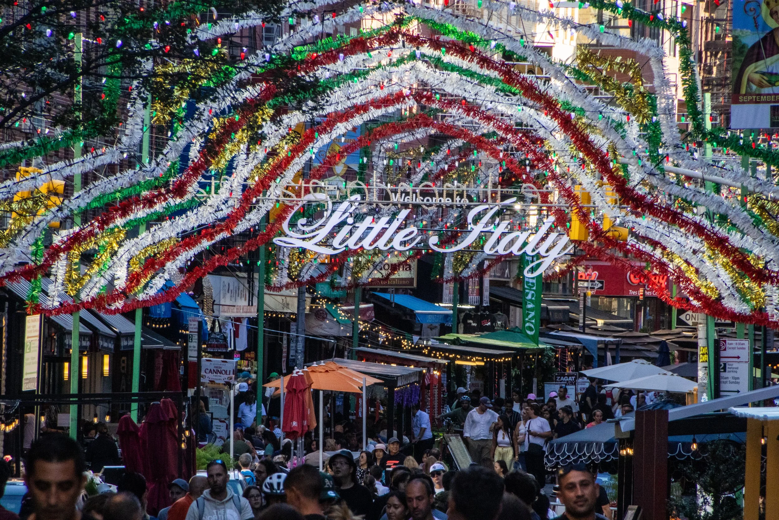
New York City not just one thing; the whole is formed of many thousands of individual threads woven and intertwined together. All of these parallel realities existing on top of each other is a big part of what makes New York so captivating… but some of these threads are more visible to the outside than others. One of New York’s most visible threads is its status as ground-zero for Italian-American culture. Yes, from Frank Sinatra to George Costanza, few immigrant communities in the US managed to balance the simultaneous integration with American society with the maintenance of a shared collective sense of identity like the Italians. Ironically, Italian-American culture has strayed hilariously far from actual Italian culture at this point; the two groups barely even claim each other at this point! But, within the U.S. at least, this shared homeland is a powerful unifier. Indeed, there are about 16 million Americans (~4.8% of the population) that have some level of Italian lineage, including yours truly. 🍕
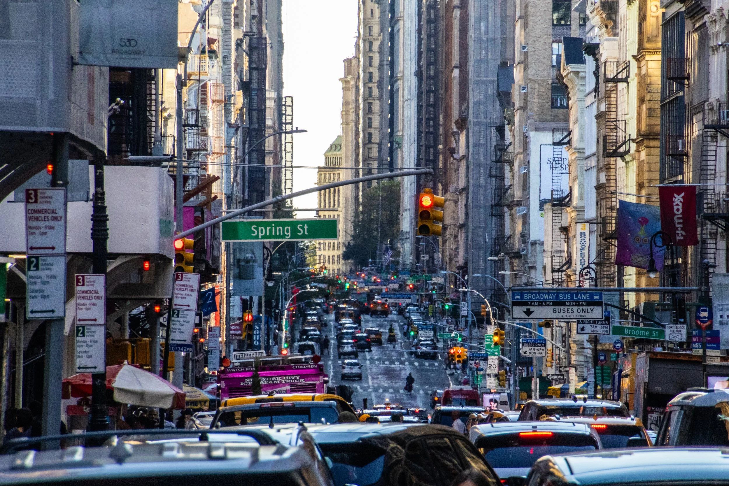
Although the beginnings of the U.S. as we know it today began with British roots, New York City actually began as a Dutch colony called New Amsterdam. It passed into British hands in 1664 and actually served as the capital city of the newly independent United States from 1785 to 1790. So it has been vitally important since the very beginning. As of 2023, the city alone (its metro area, that is) had a stand-alone GDP of $2.30 trillion, making it the most valuable city in the world. In fact, if treated as an independent country, New York City would rank within the top 10 largest economies in the world, ranking above Italy, Canada, and Australia, to name a few. For a domestic point of comparison, the next largest economy in the United States is Los Angeles with an approximate GDP of $1.1 trillion.
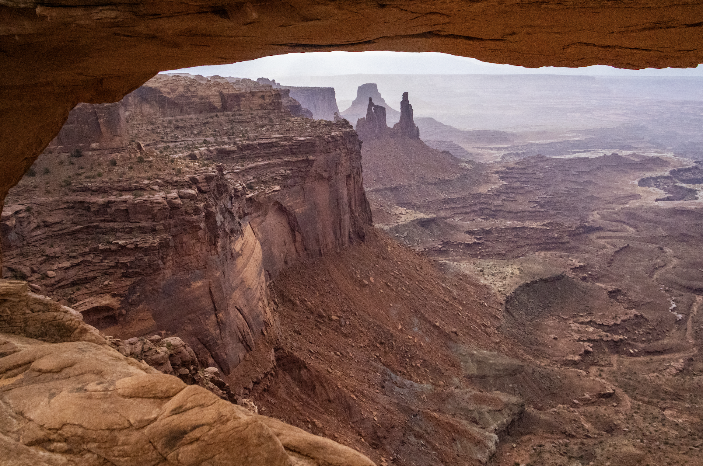
Finally, we arrive at Canyonlands National Park, which is the largest and most remote place we will visit on this trip by far. A couple hours southwest of Moab and Arches, Canyonlands spans an area of more than 300,000 acres. It is not a place that can be seen fully in a single day… but we’re going to do our best. Indeed, this particular trip will be most confined to the northern regions of the park, but I want to underscore that there is a LOT more of this landscape that we won’t see today.
As you will see, Canyonlands is a VAST area of canyons carved by mighty rivers that still flow through them to this day. Thousands of feet above the water, towering mesas look out across seemingly endless canyon-scapes. It offers more than a few STUNNING views.
Catania is the second largest city in Sicily. The population of Catania proper is about 320,000, but there are a combined 1.1 million people who live in the metro area. In Italy overall, Catania is the 10th biggest city, and the 7th largest metro area. This is a major population center for Sicily, second only to Palermo, which will be our last stop on this trip. Catania is not the most well-known place, but it's definitely not small either. It's actually really big, especially by Sicilian standards. But Catania's burgeoning population should be surprising. This isn't exactly prime real estate.
Why? Because of Mount Etna.