Finally, we arrive at Canyonlands National Park, which is the largest and most remote place we will visit on this trip by far. A couple hours southwest of Moab and Arches, Canyonlands spans an area of more than 300,000 acres. It is not a place that can be seen fully in a single day… but we’re going to do our best. Indeed, this particular trip will be most confined to the northern regions of the park, but I want to underscore that there is a LOT more of this landscape that we won’t see today.
Canyonlands National Park
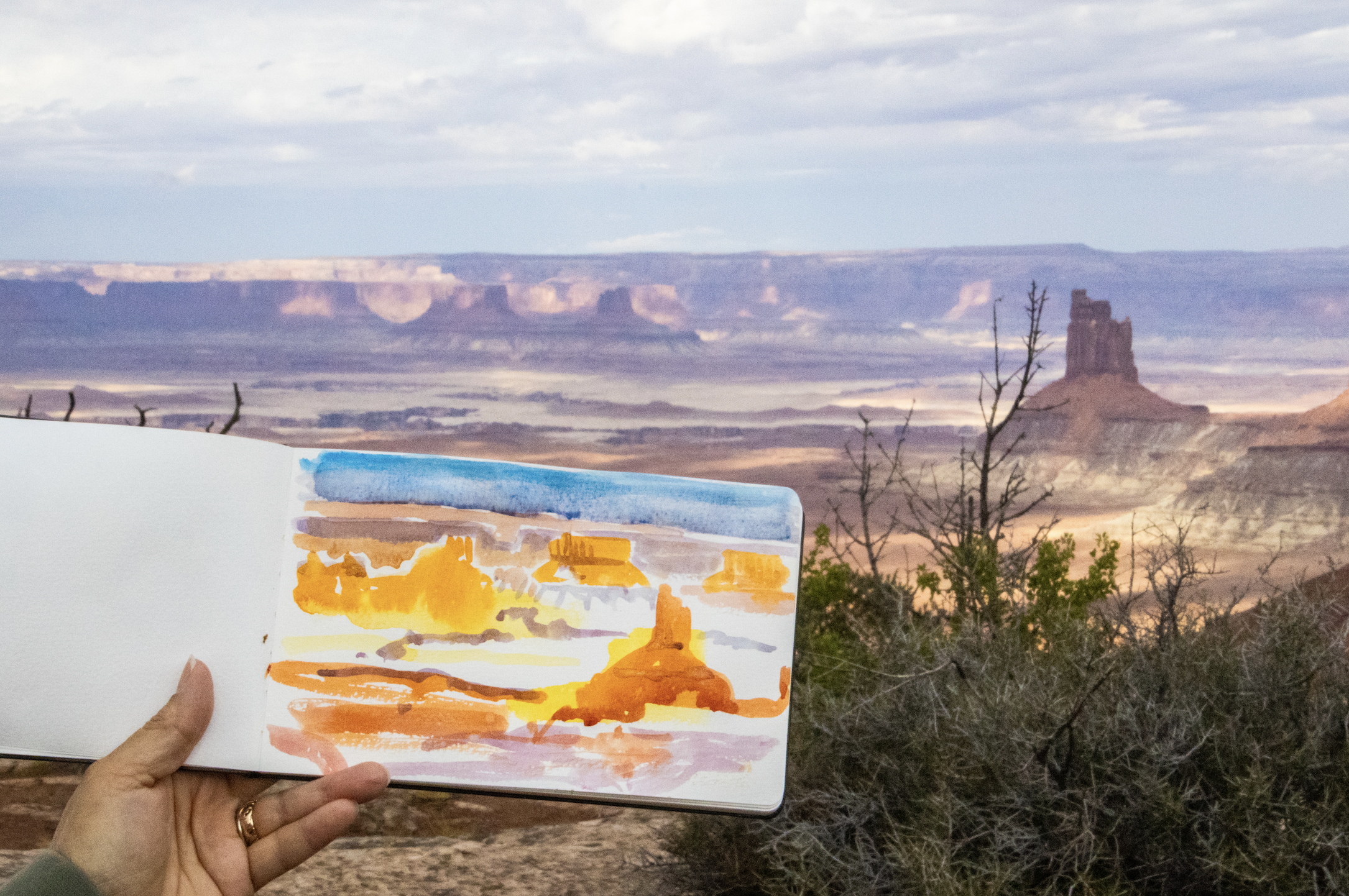
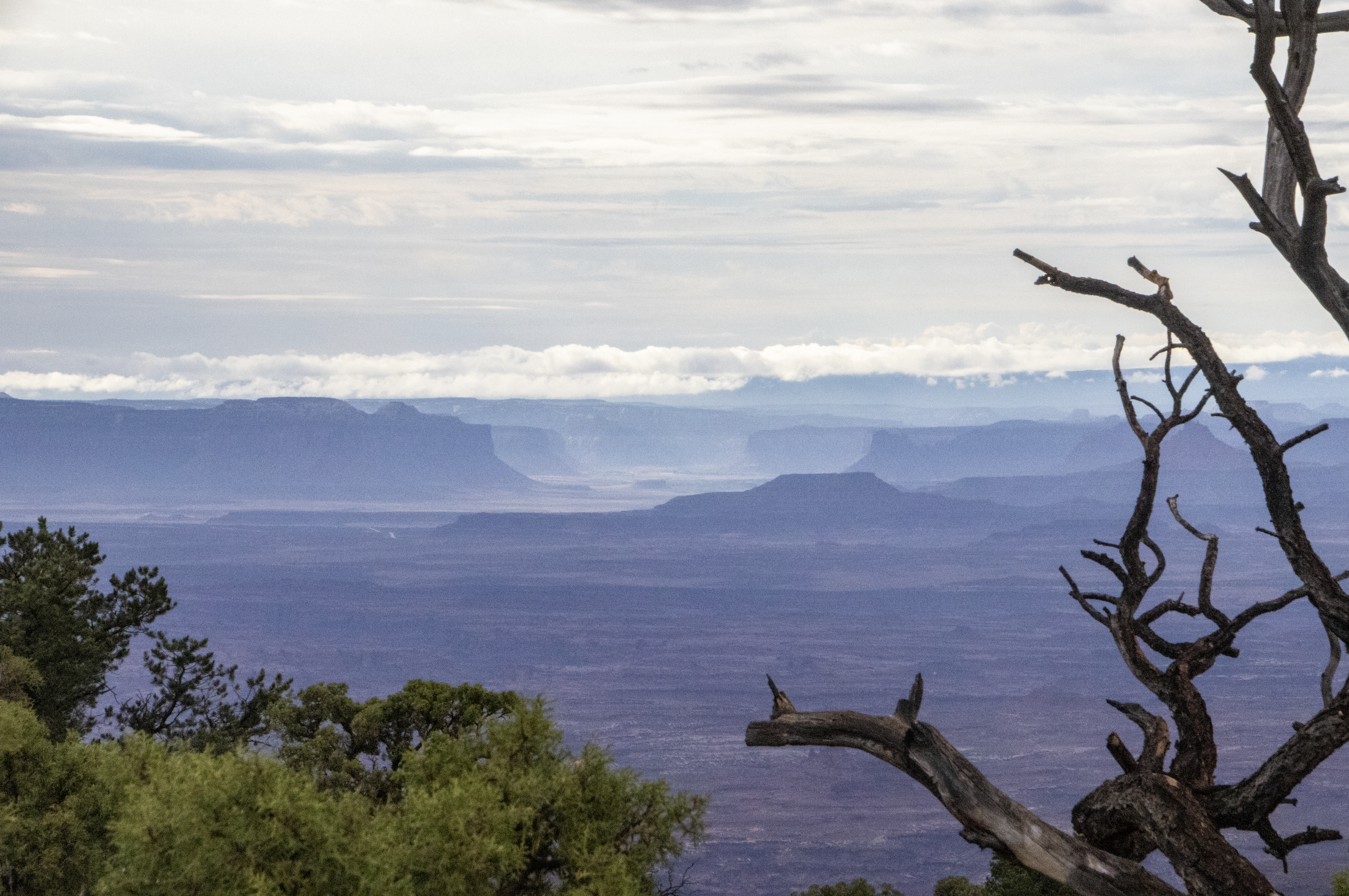
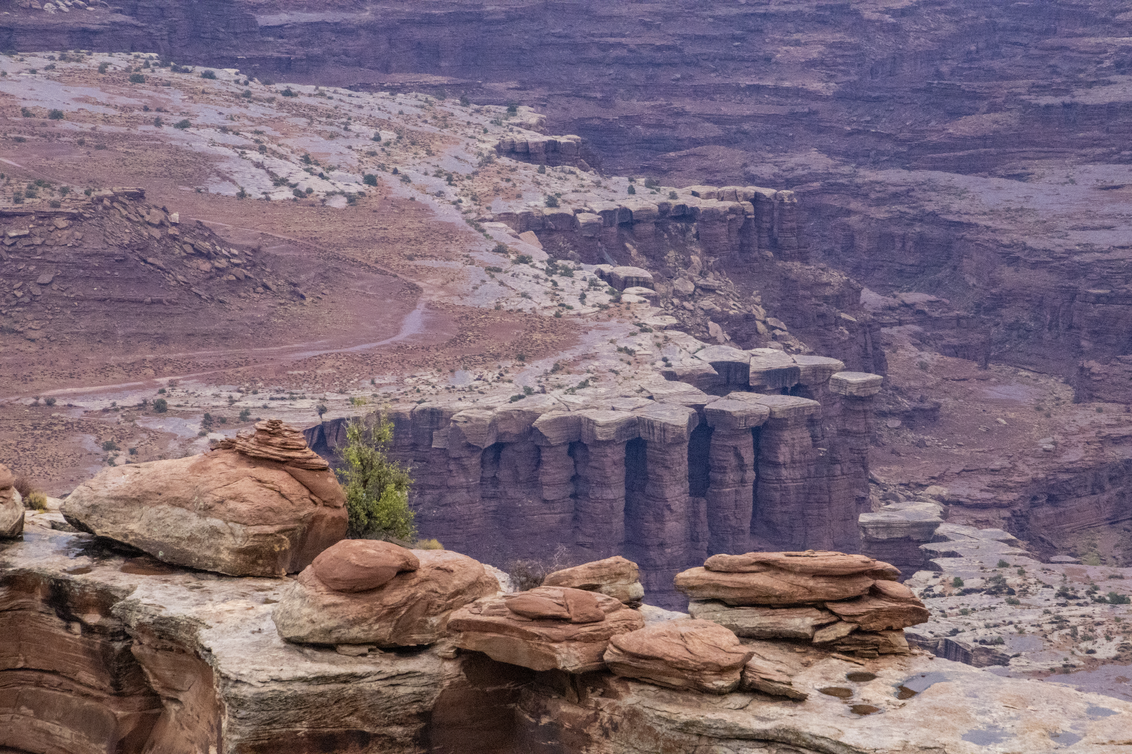
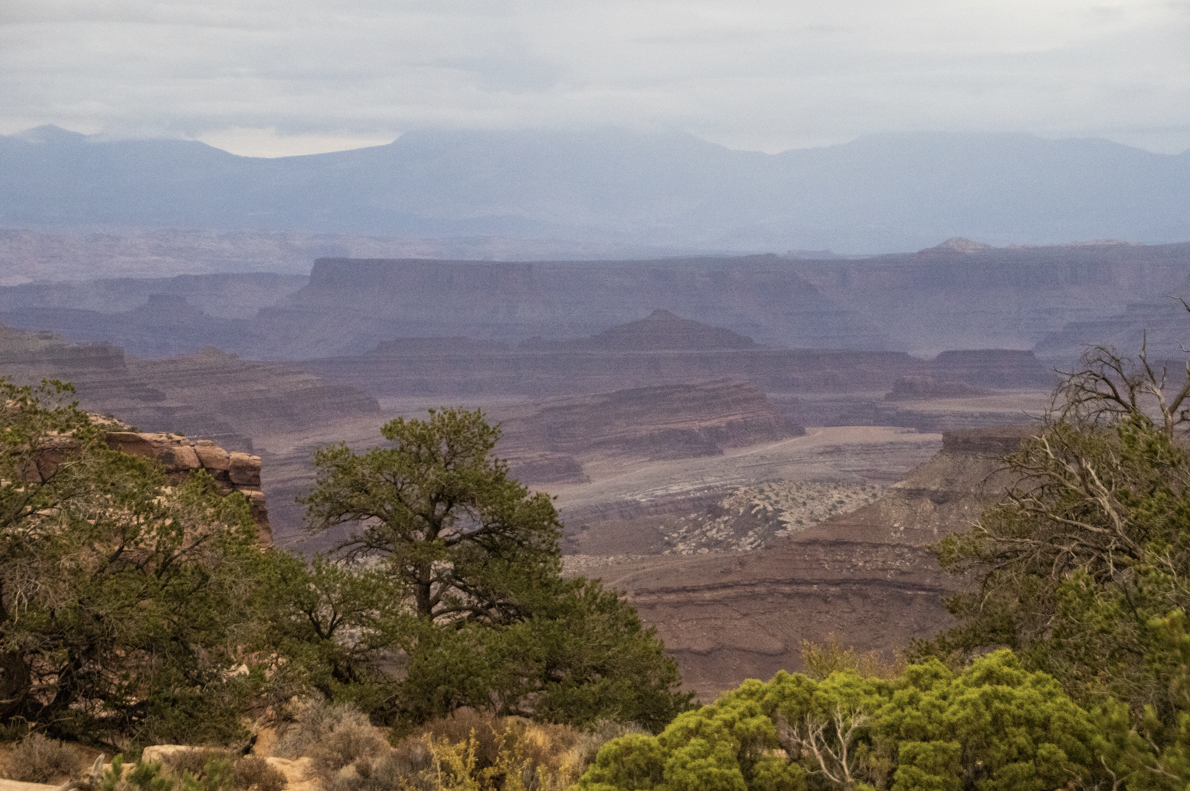
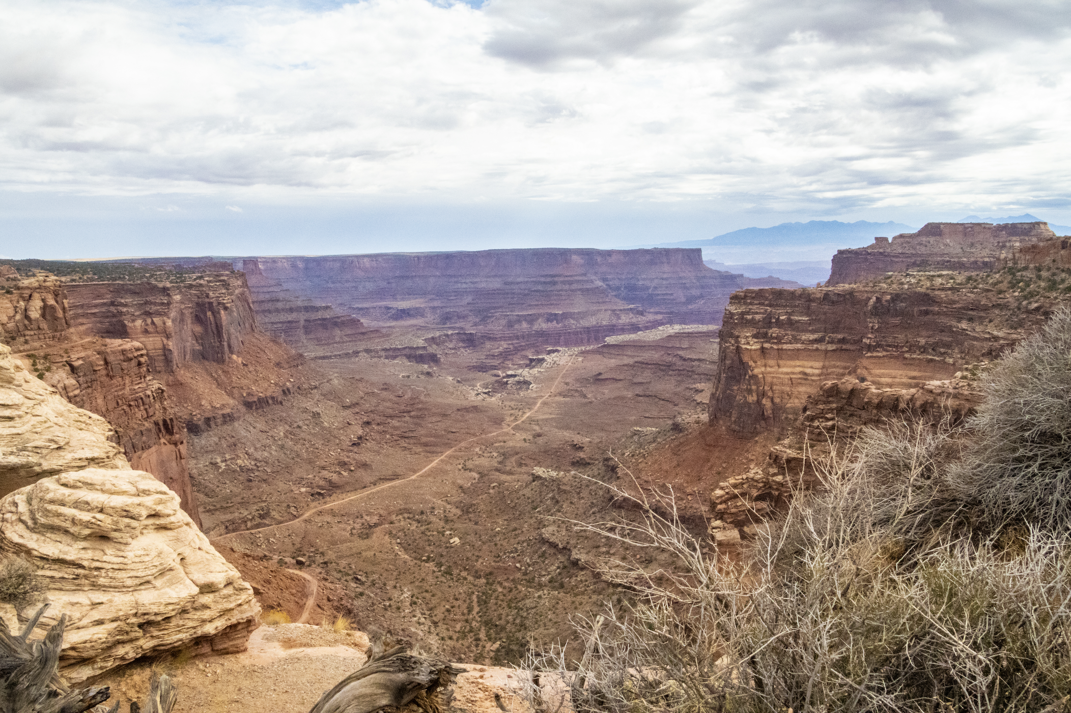
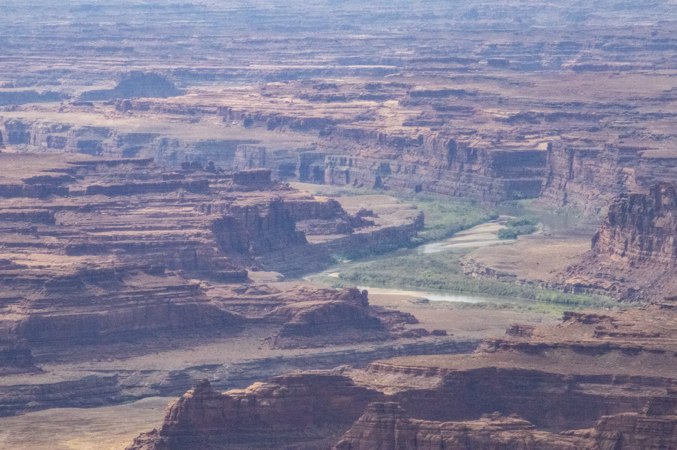
As you will see, Canyonlands is a VAST area of canyons carved by mighty rivers that still flow through them to this day. Thousands of feet above the water, towering mesas look out across seemingly endless canyon-scapes. It offers more than a few STUNNING views.
At this point, you might be wondering how—if at all—this place differs from the Grand Canyon, which can be found just down-river in Arizona. Well, the Grand Canyon is actually “deeper” than even the most extreme terrain in Canyonlands, but they definitely have similar feels. Having visited the Grand Canyon as well (many moons ago now), I can attest that it does indeed feel a bit “grander” than Canyonlands; there’s more of a “WOW” factor… but both places are absolutely breathtaking.
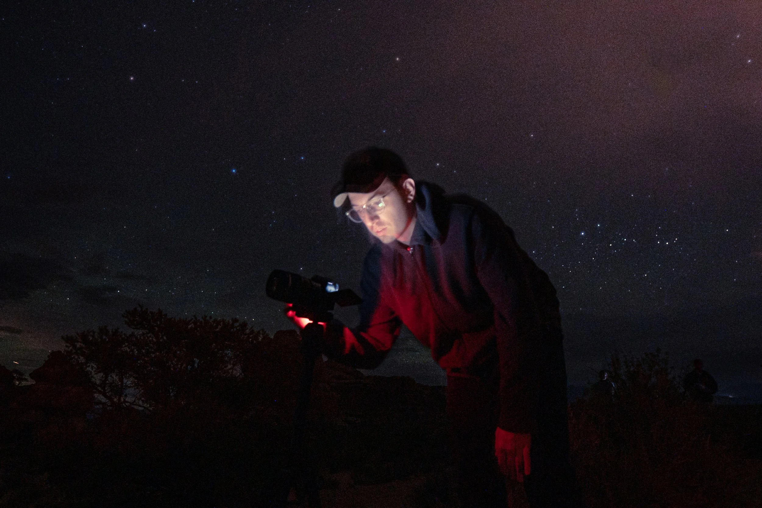
One key difference is that, whereas the Grand Canyon was carved by a single river (the mighty Colorado), Canyonlands is the point upstream where the Green River meet and joins forces with the Colorado River. As a result, the park is divided into 3 pieces: “The Island in the Sky”, ”The Needles”, and “The Maze”. In this article, we will be confined to the Island in the Sky, but the other two areas are worlds unto themselves, offering some of the toughest but most rewarding backcountry trekking opportunities anywhere on earth, as well as some of the darkest skies in the region (i.e. best star-gazing in the region)!
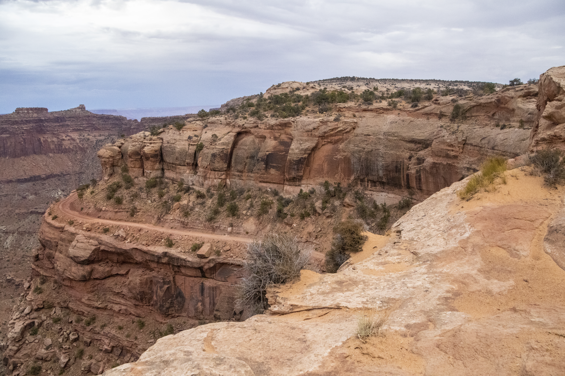
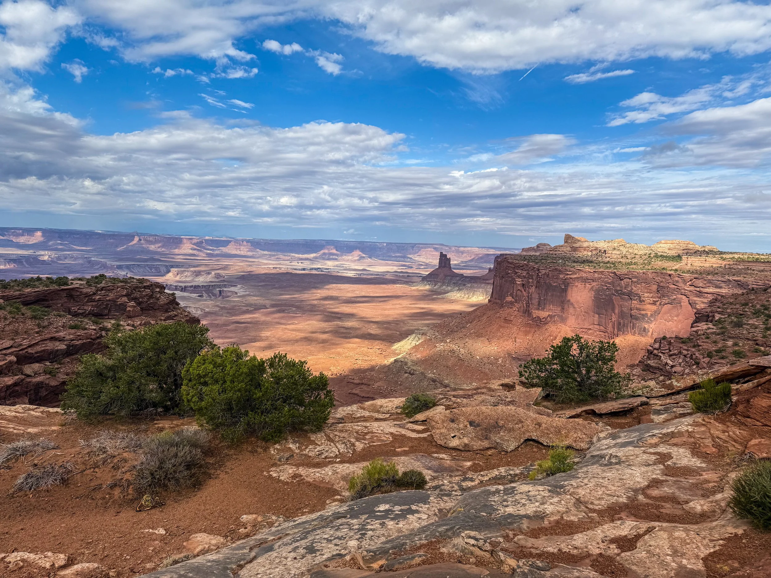
The Island in the Sky is aptly named; driving into this area, there is a sense that the ground simply falls away on either side of the road, until you are driving on and a spit of land precariously floating high above the ground. The road basically follows the ridge line of 2,000 foot tall (~600m) mesa. Although, I should note that the altitude difference between the water level and the tallest peak actually reaches as much as 3,000 feet (~915m) in other parts of the park.
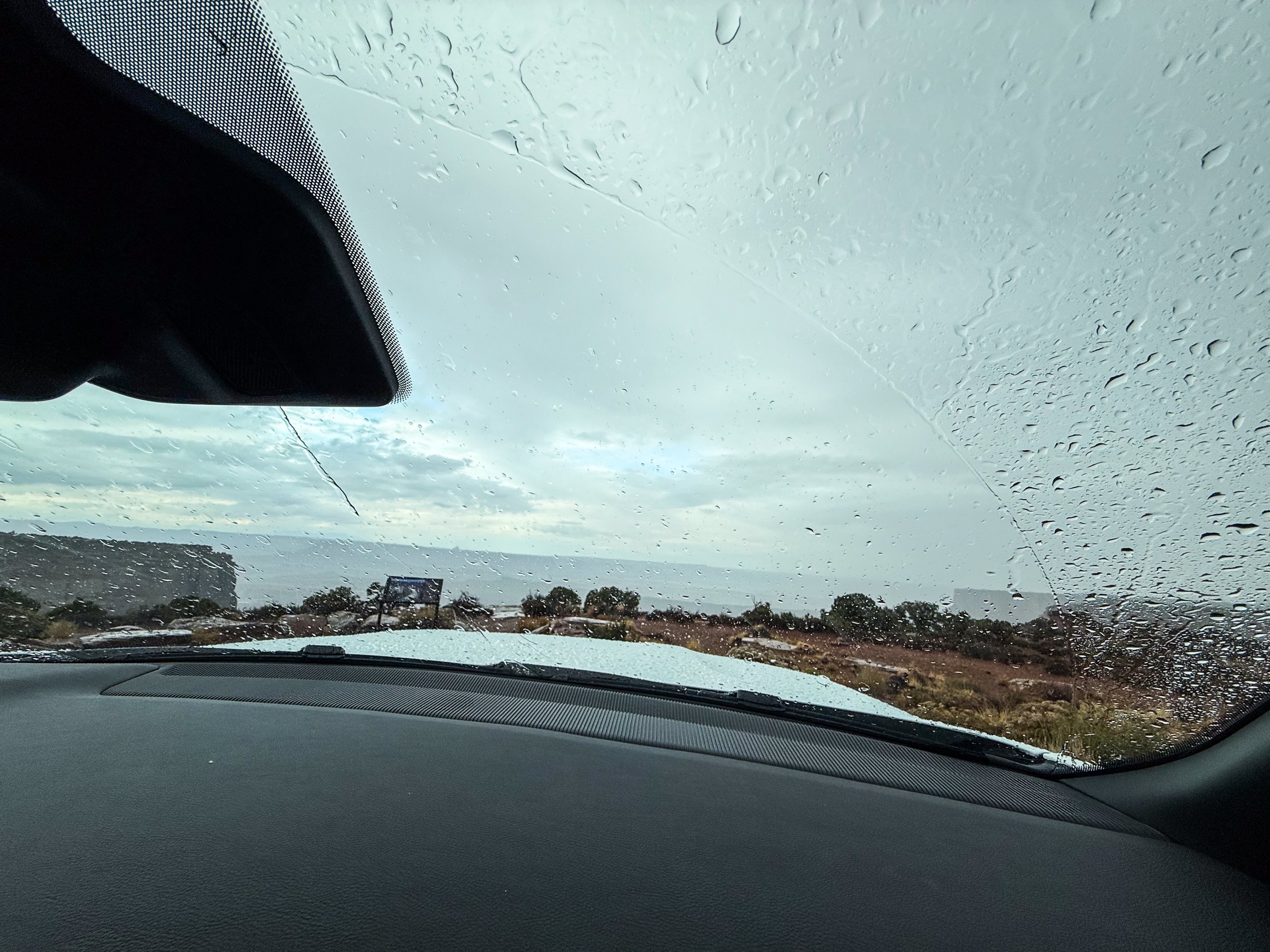
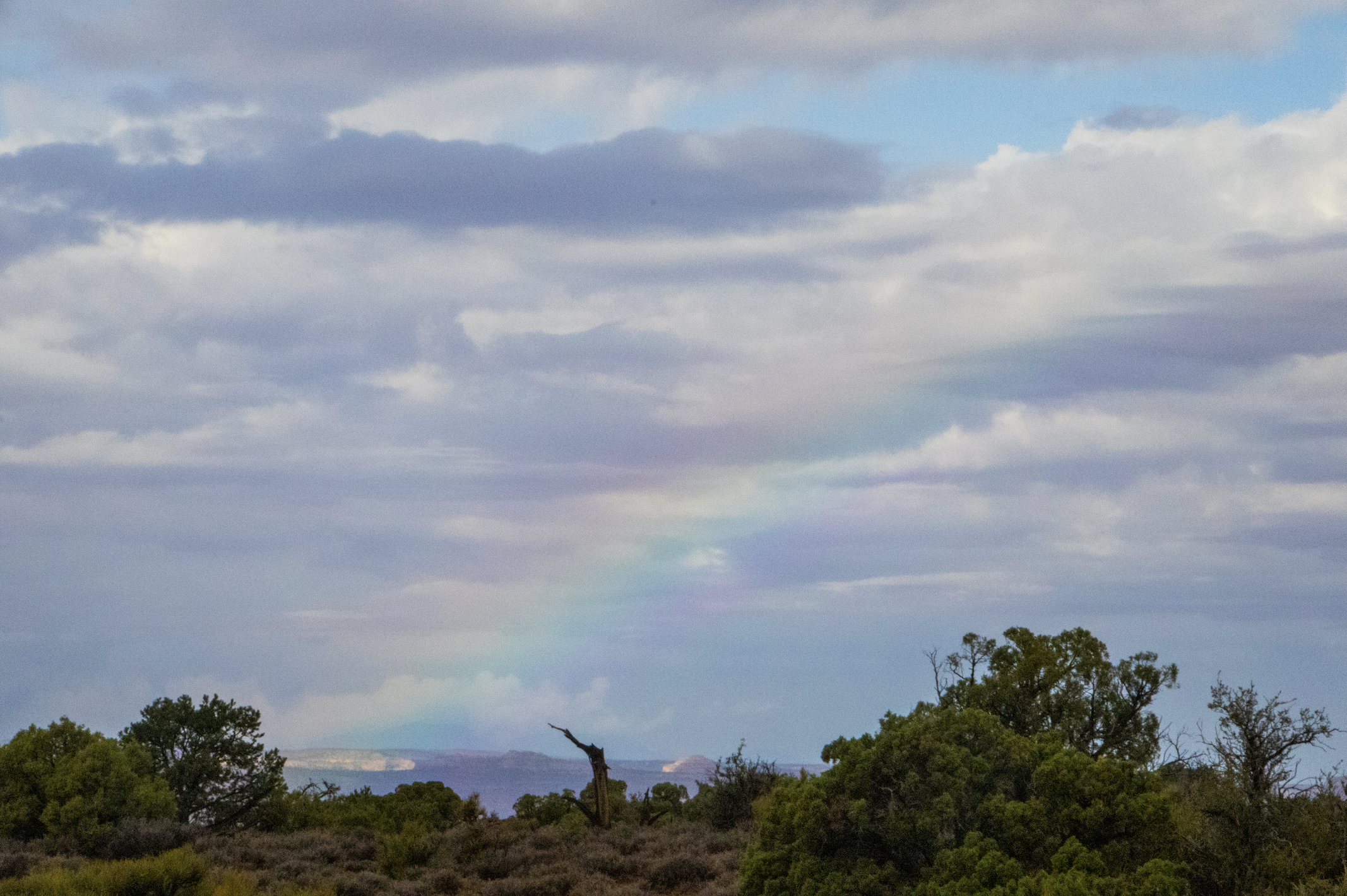
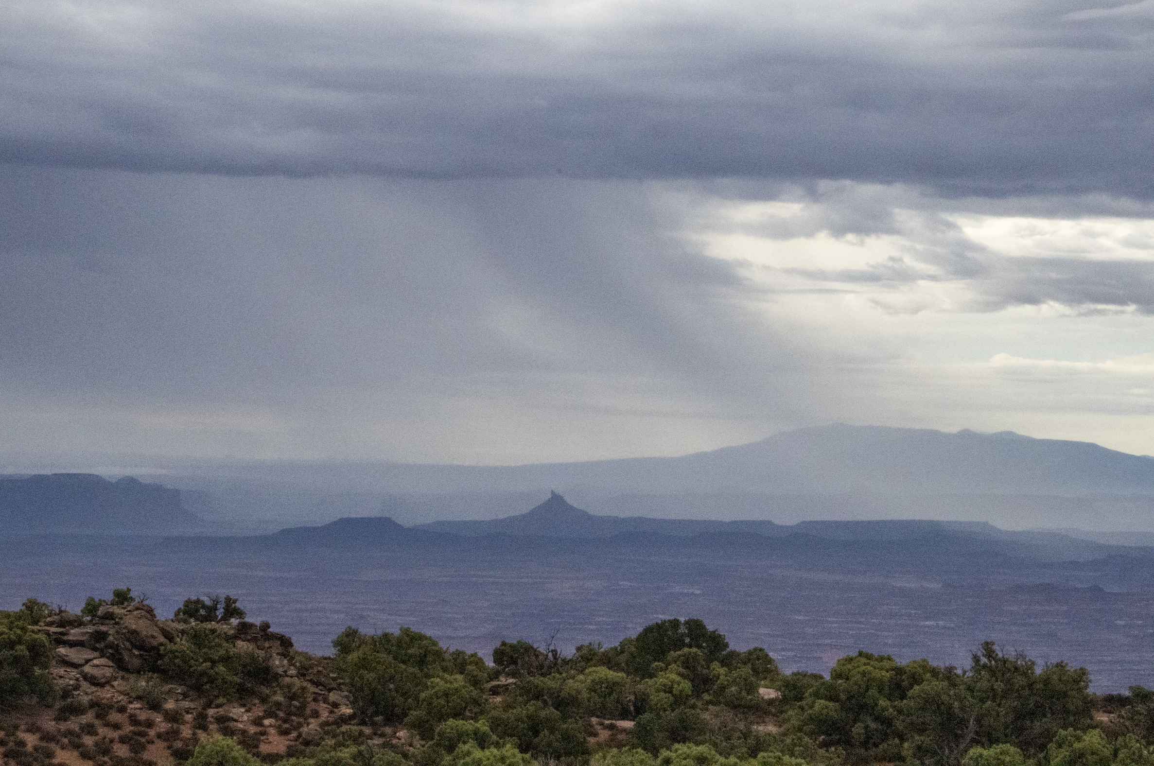
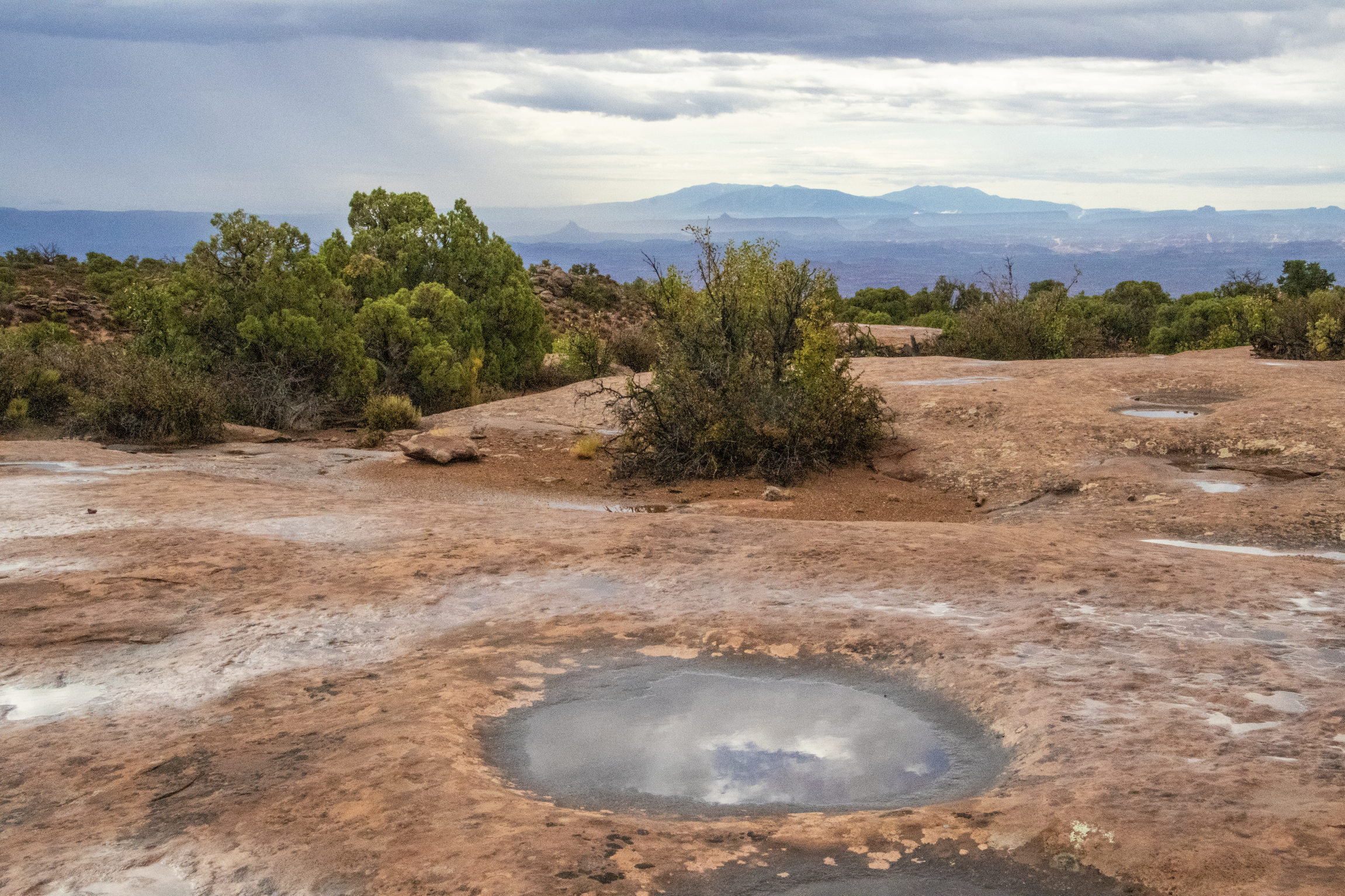
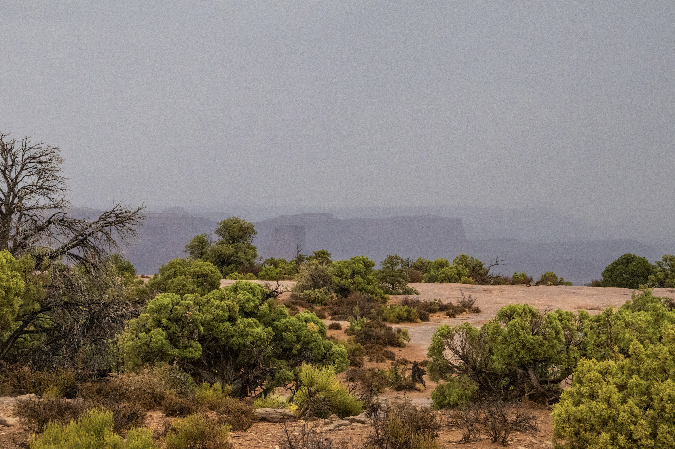
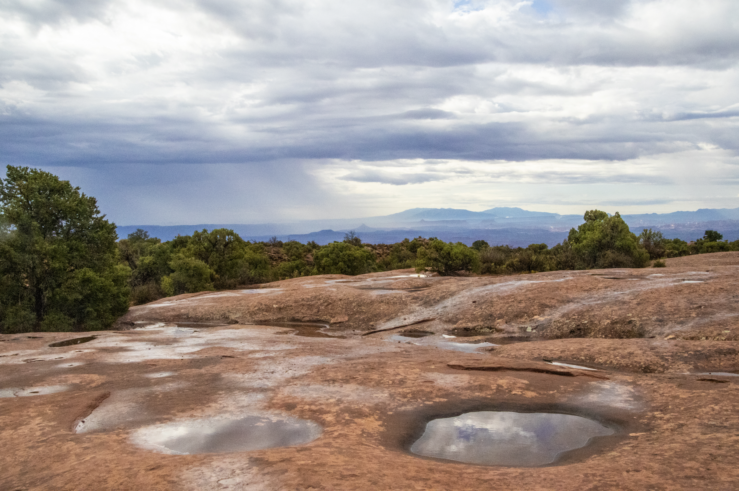
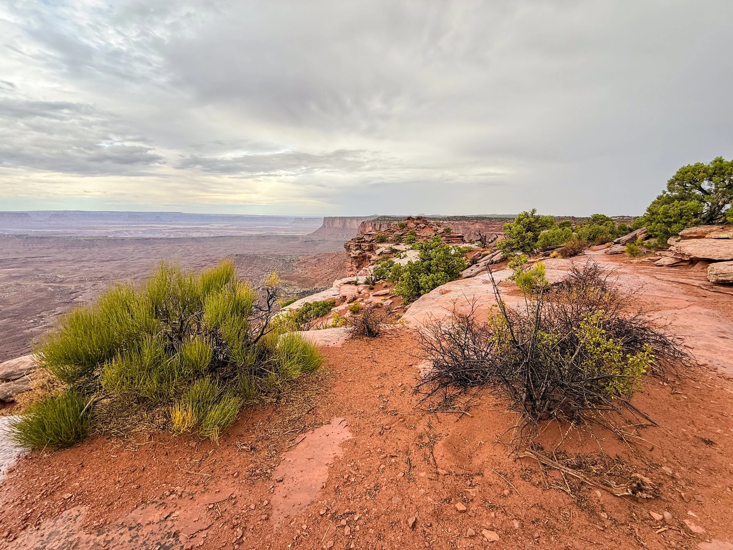
As we approached the edge of Canyonlands, the gray sky had given way to a light rain. The weather had been too good up to this point; we were due for some bad luck, but it didn’t mean we were turning around. On the contrary, we drove ever forward into this vast park. And, in the beginning, there were moments when—in looking off the edge of this aerial island—we saw nothing but clouds. But fear not, dear reader, for the precipitation Gods shall smile upon us and bless us with blue skies by the end of this article!
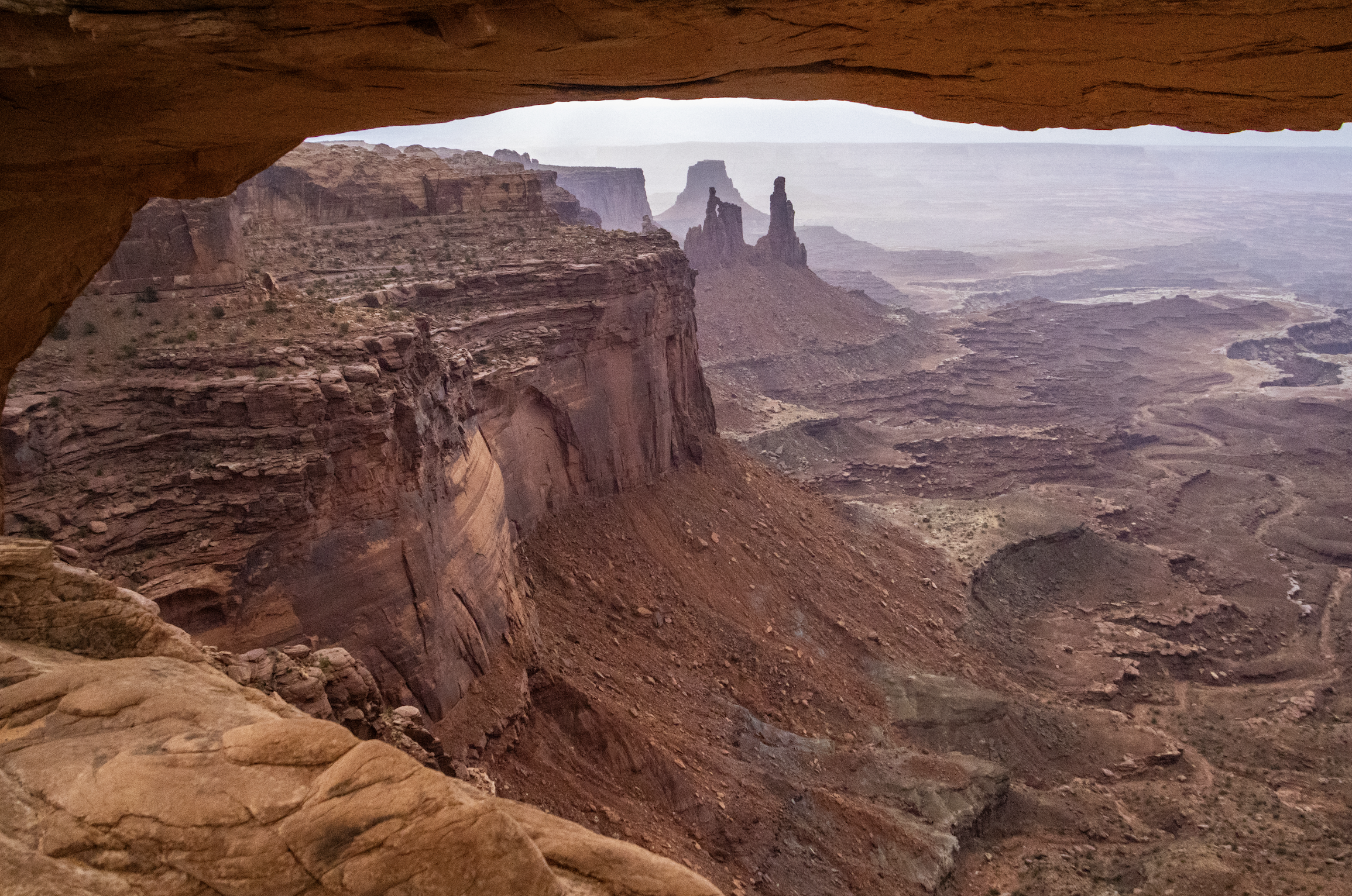
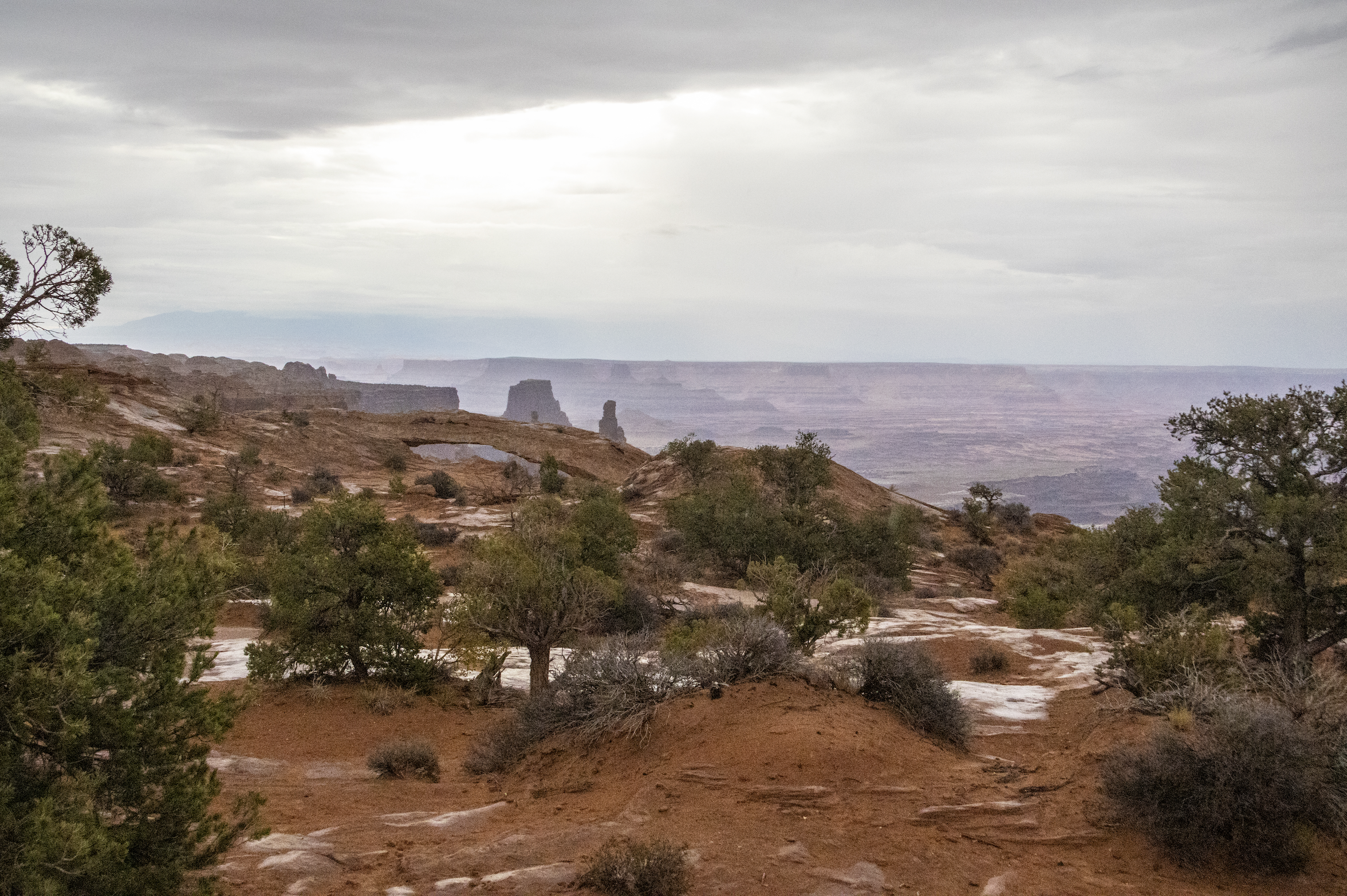
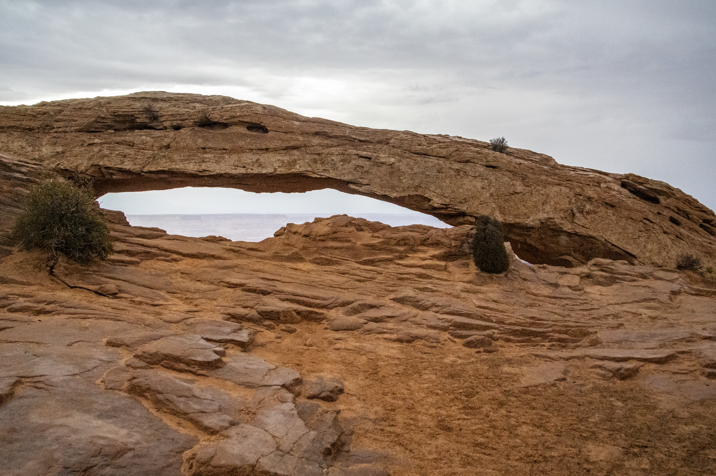
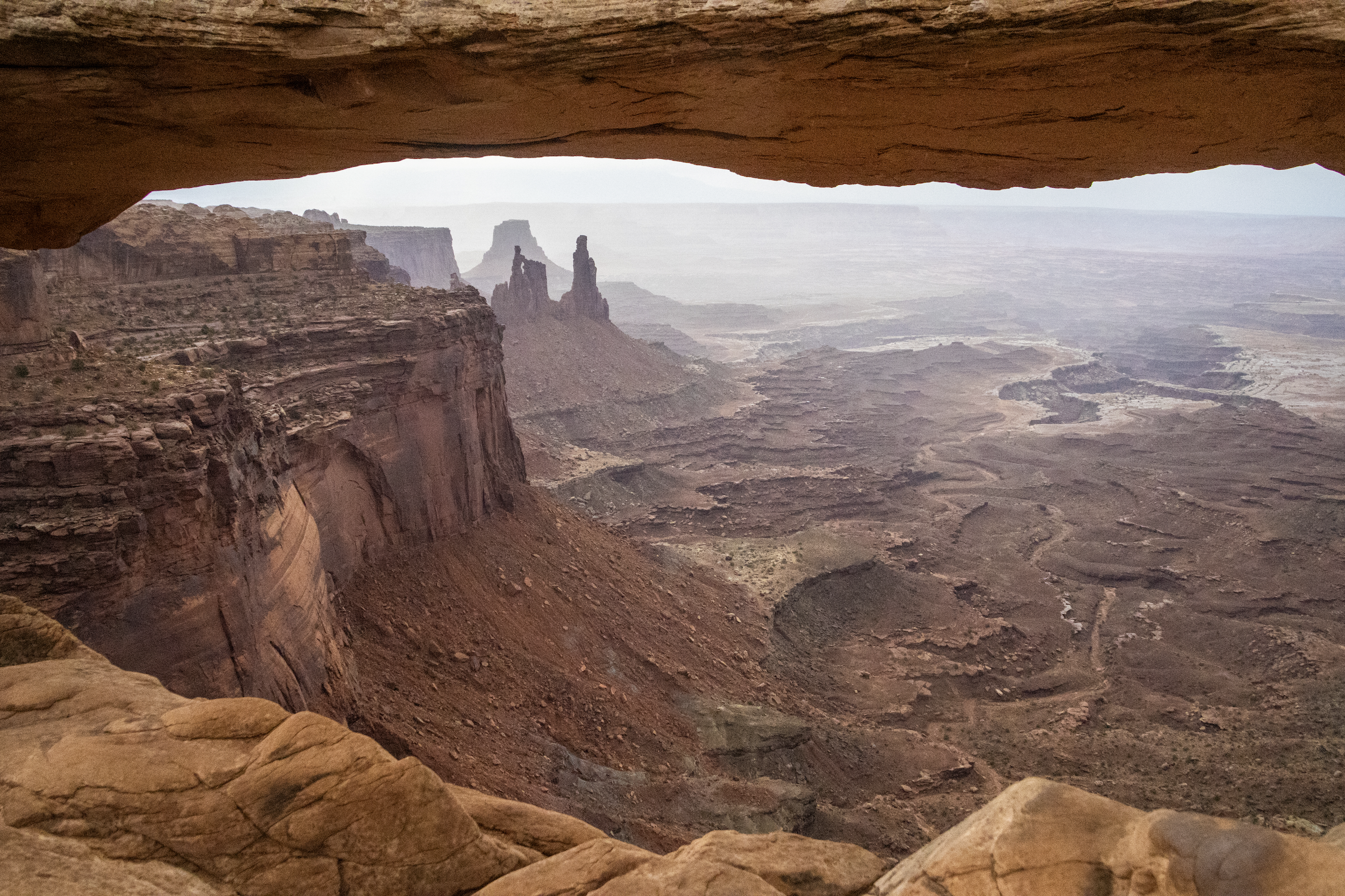
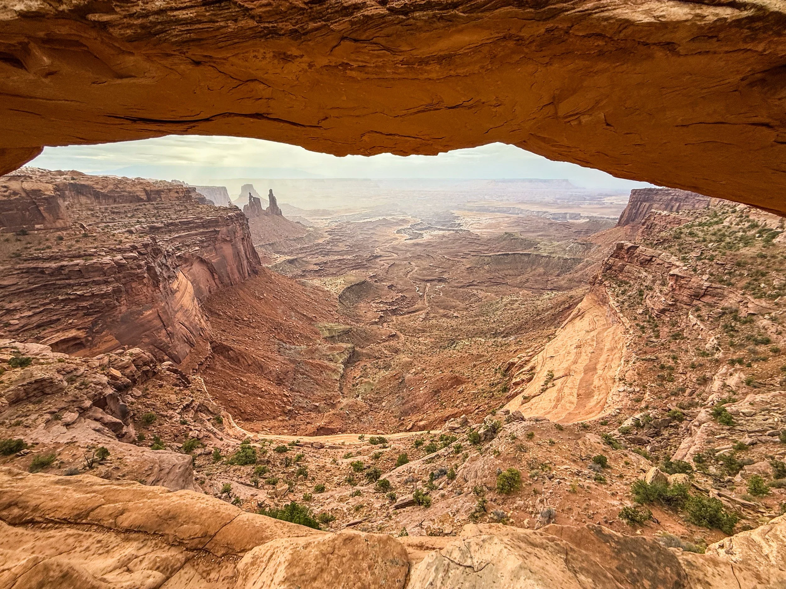
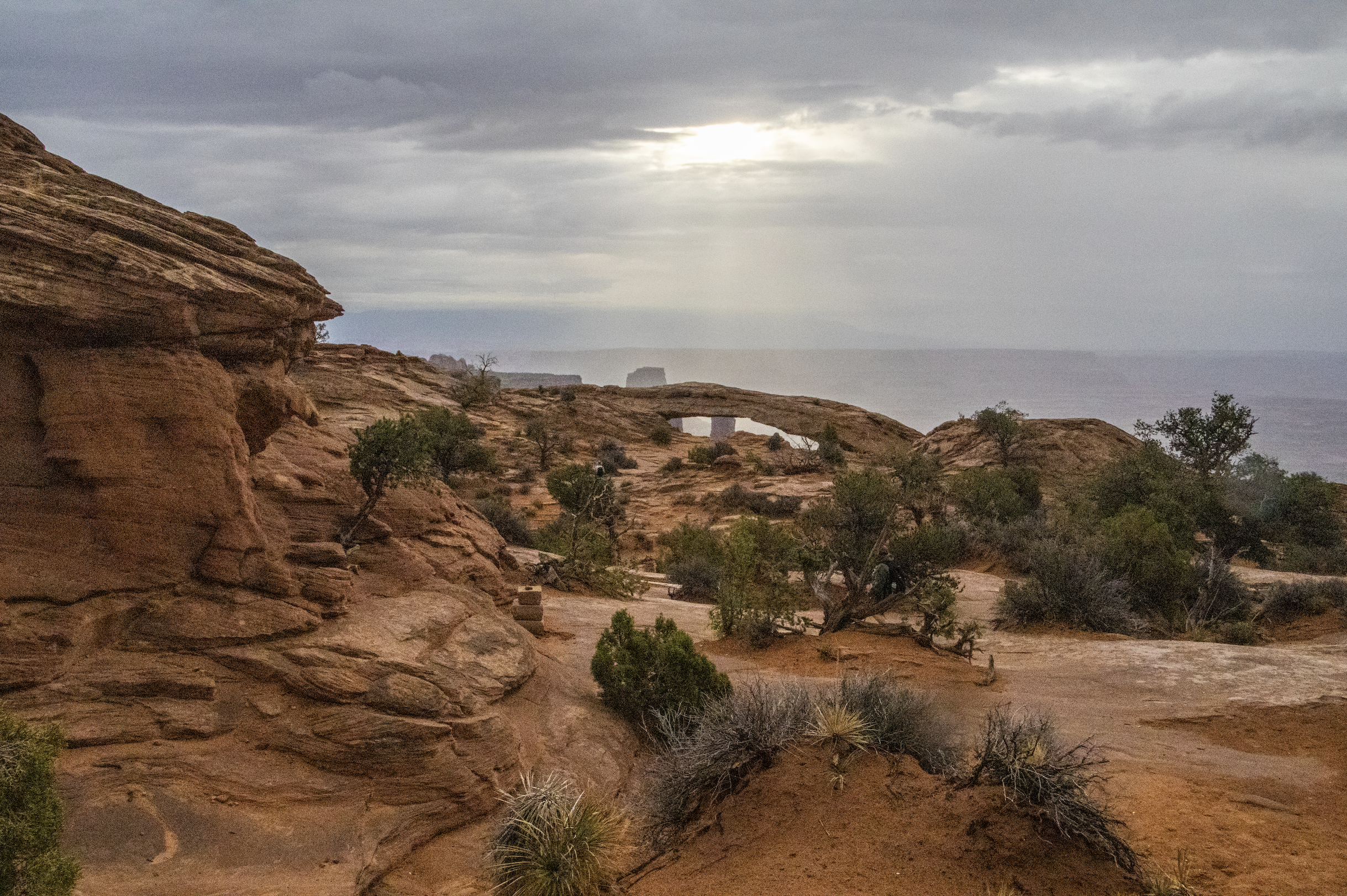
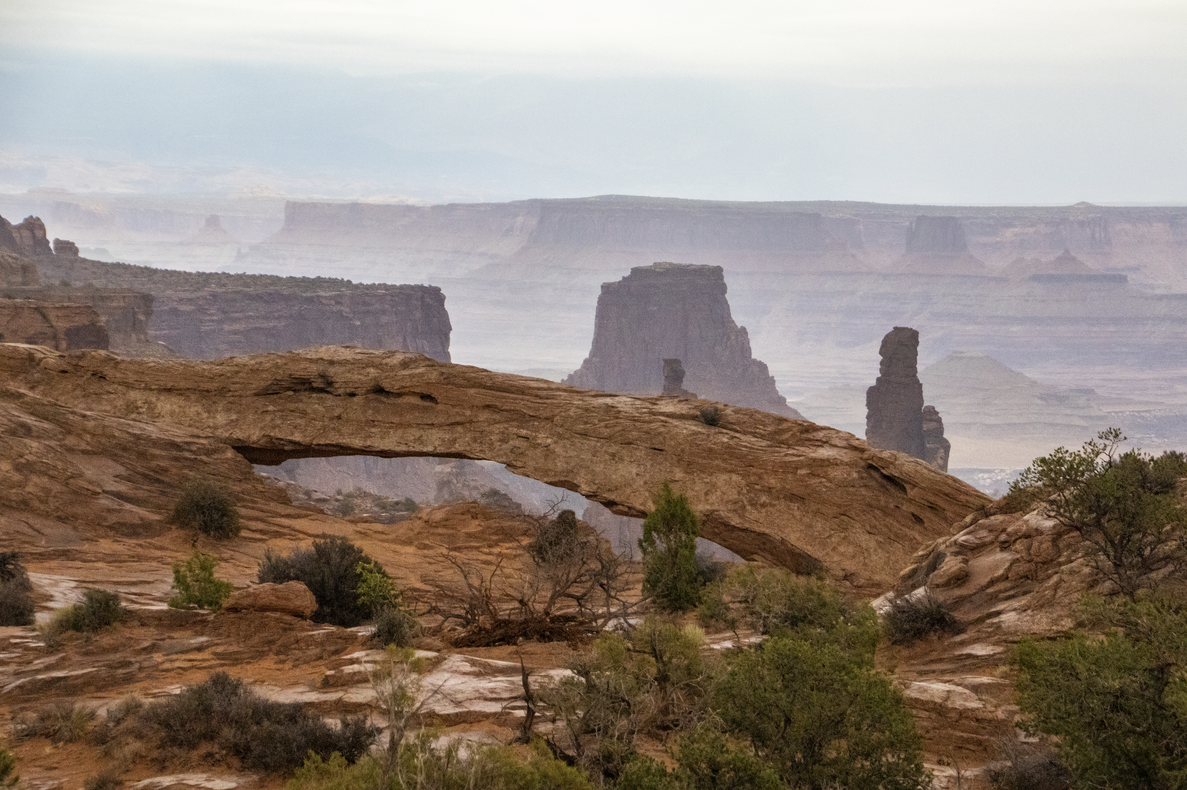
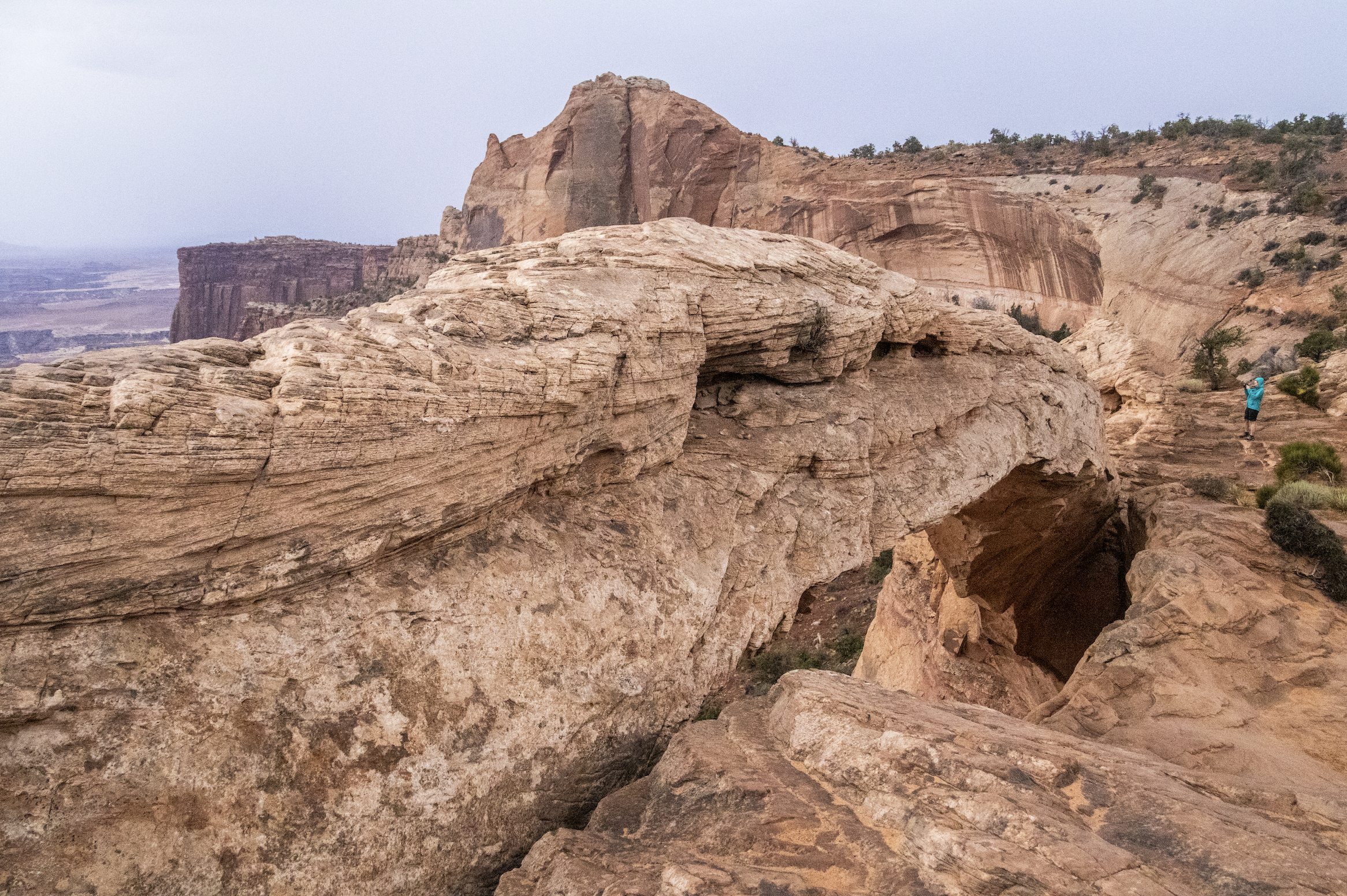
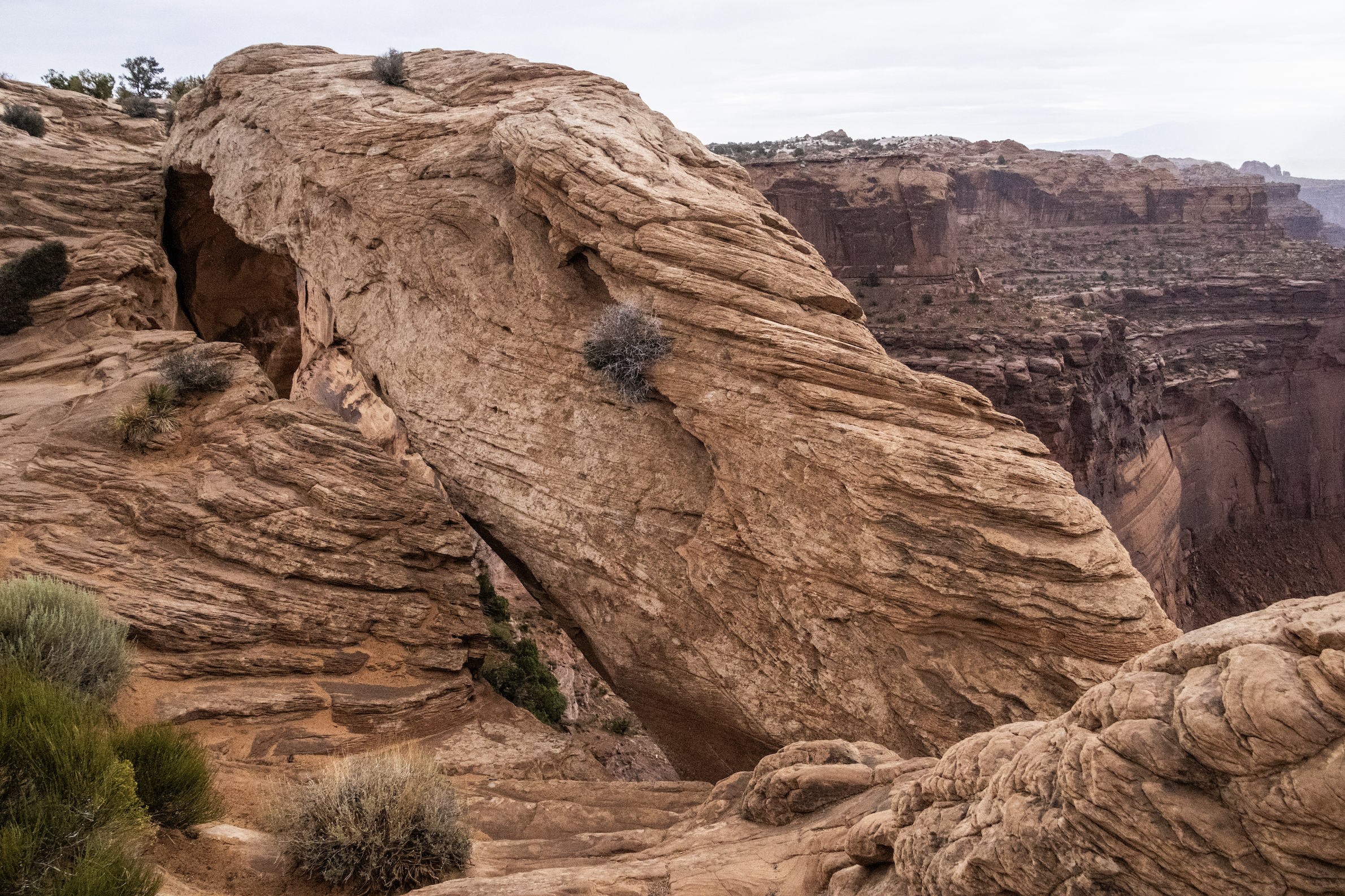
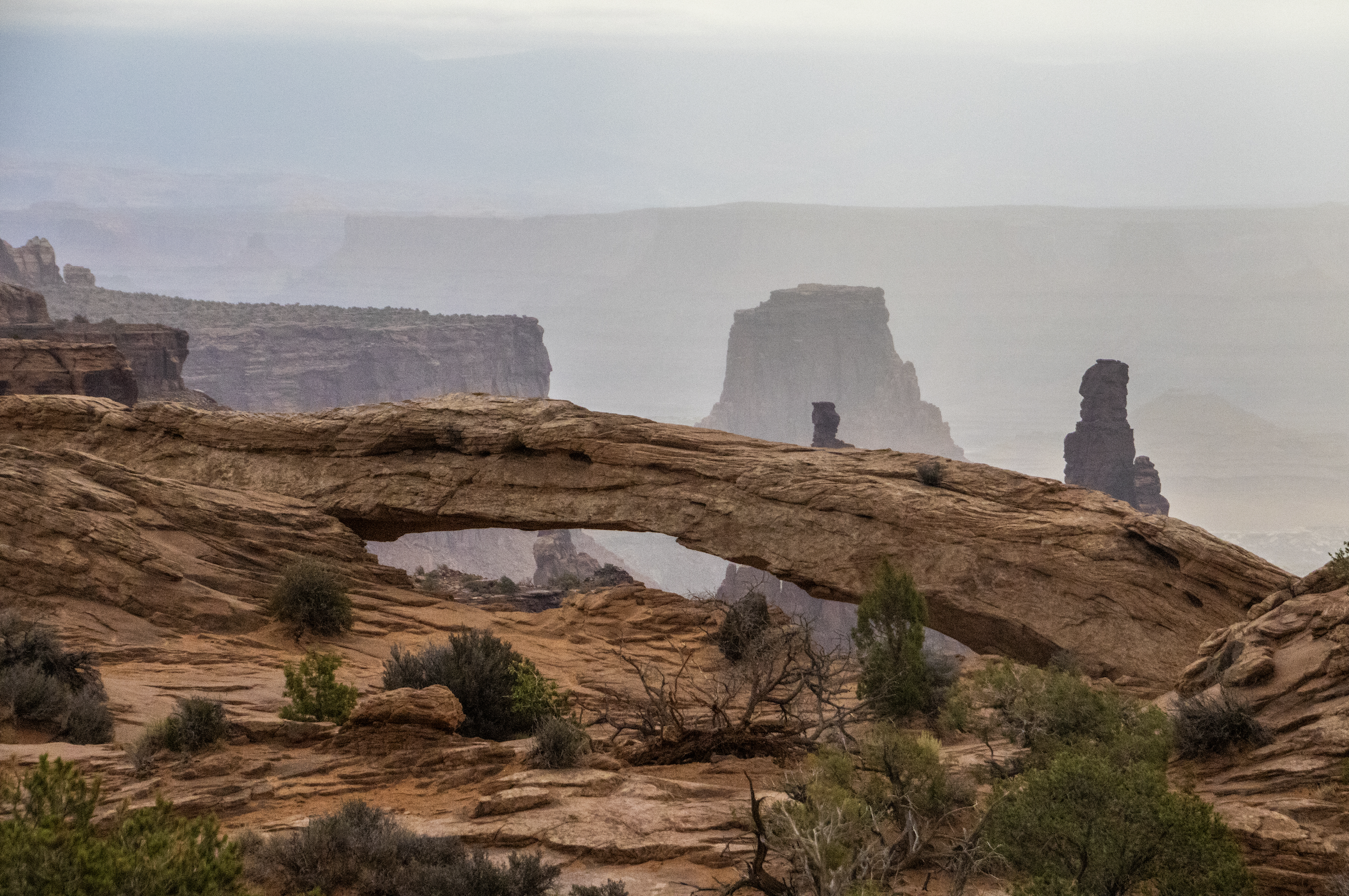
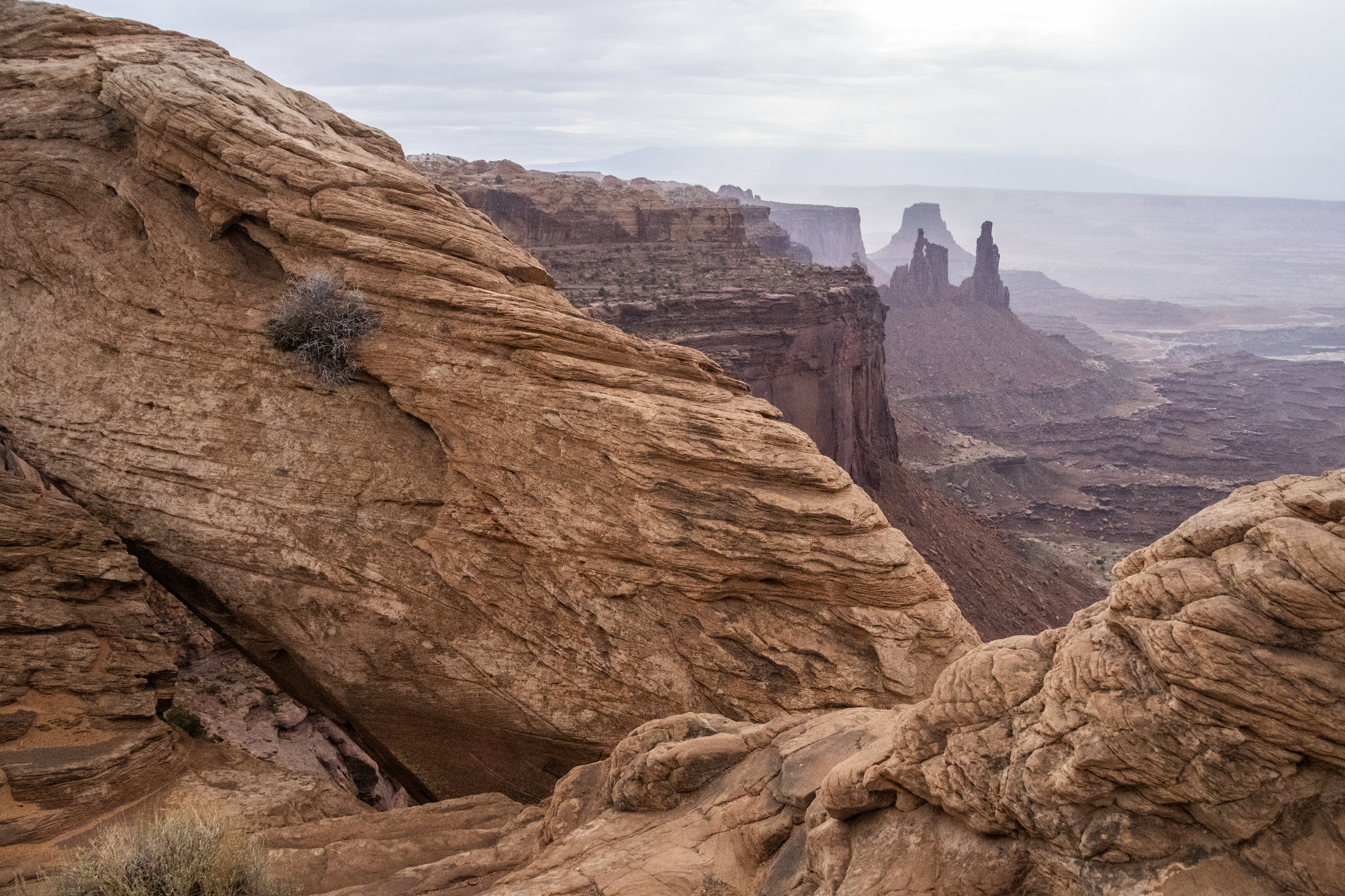
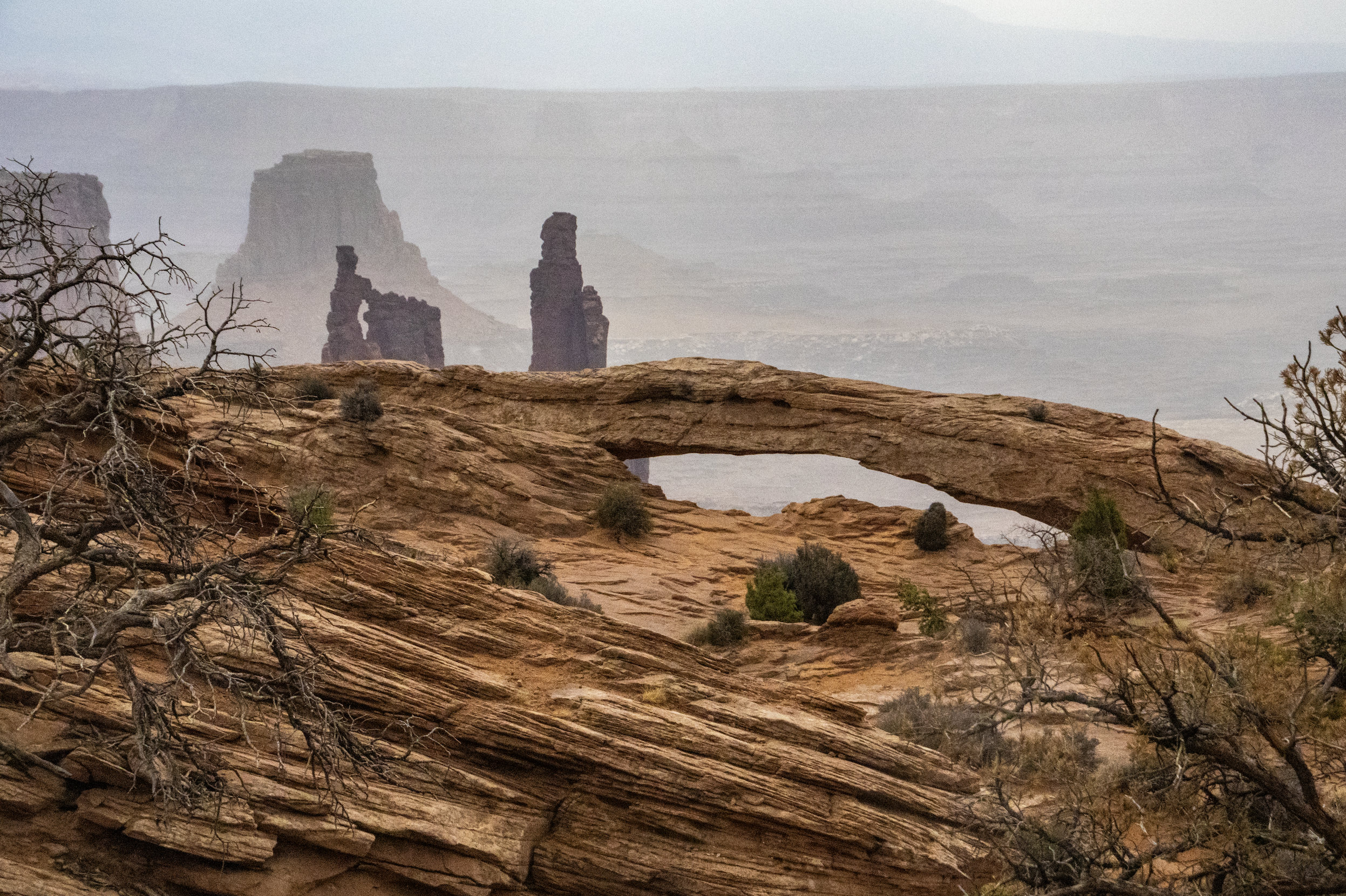
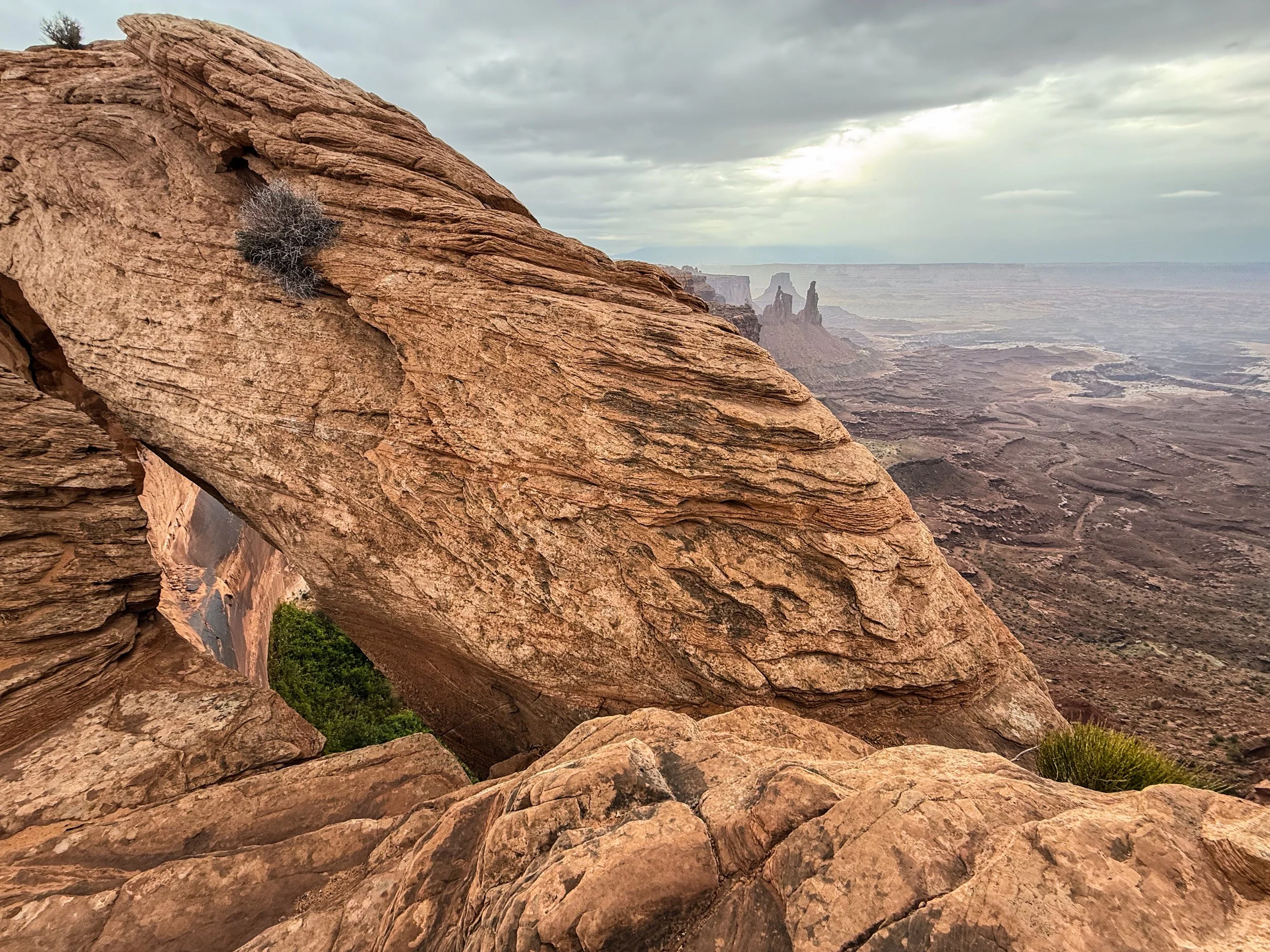
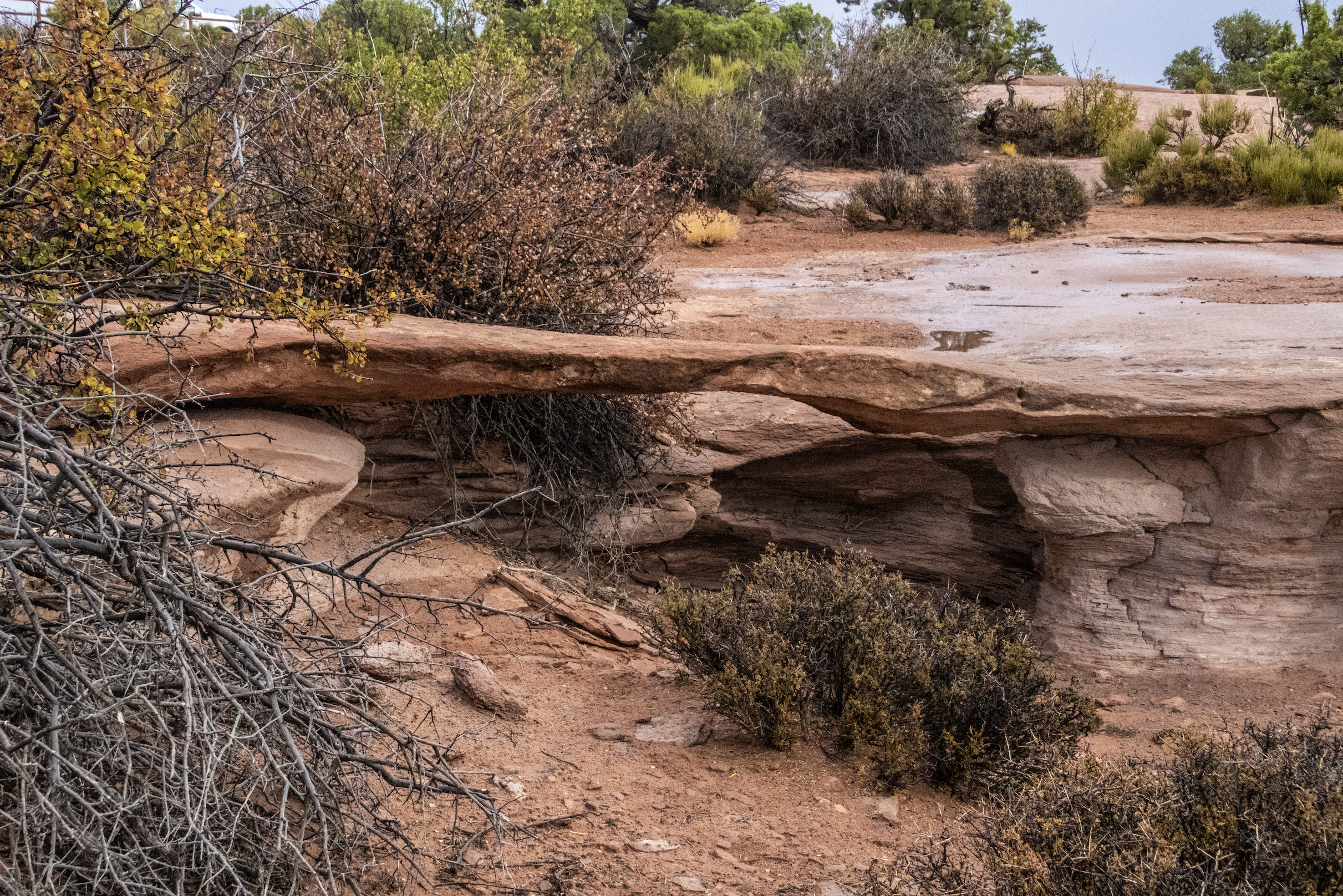
Mesa Arch
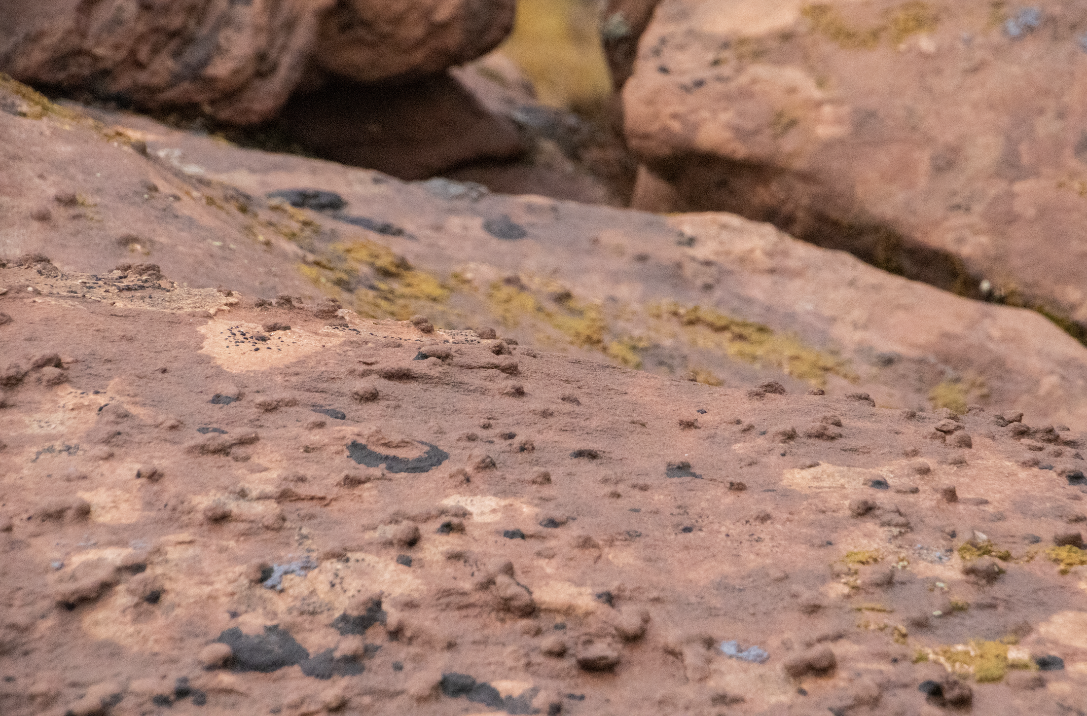
Mesa Arch is a famous lil spot in Canyonlands, and before the skies clear up, we’re going to do the short hike down to it. Along the way, I’ll get a muddy reminder of how “slickrock” got its name: it’s slippery when wet!
Yes, there are some arches that are outside of Arches National Park! I suspect there are a few more of these rock formations tucked around Canyonlands, but—if Mesa Arch is any indicator—they are not nearly as dramatic as in Arches. Whereas Delicate Arch is just so perfect and improbable that I could scarcely believe that it was natural, Mesa Arch is much more crude in its shape. Perched atop a canyon wall, one must be looking over the side of the cliff to see its full form. But it’s incredible all the same, even with a bit of rain!
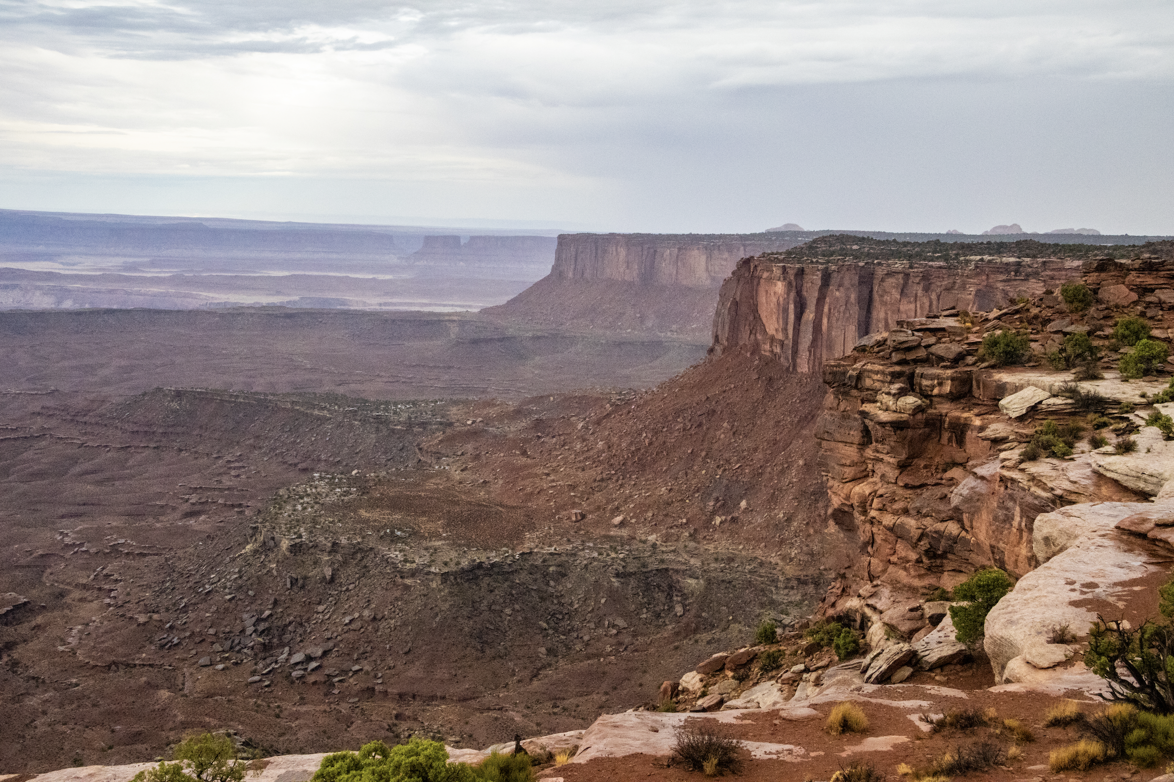
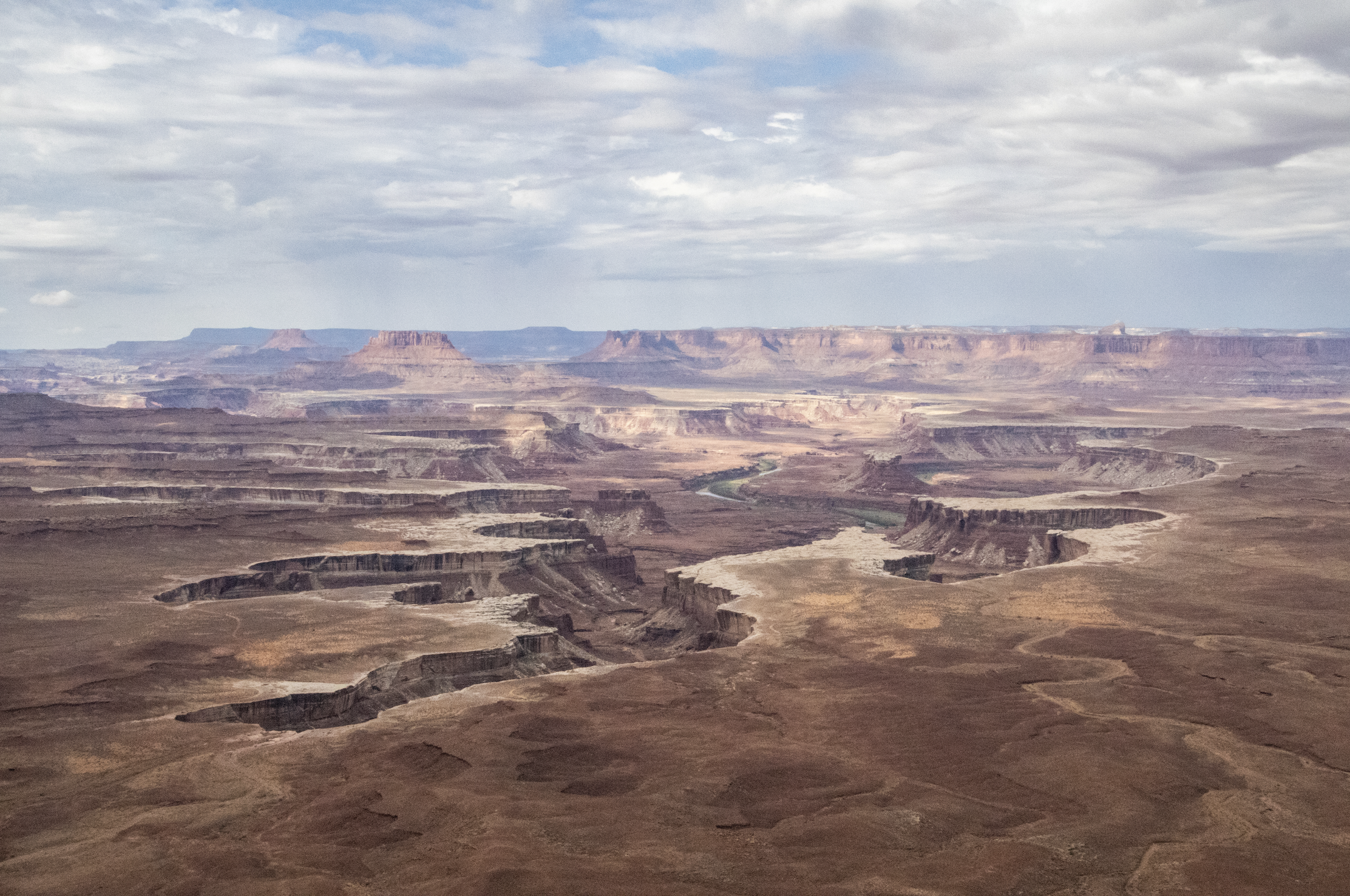
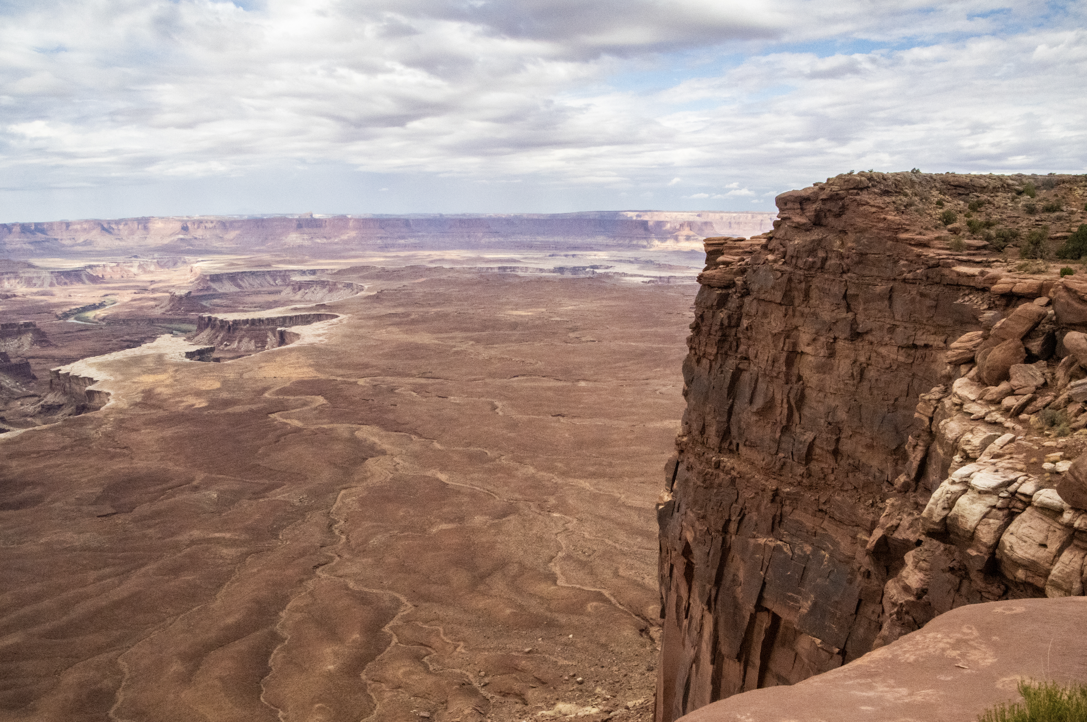
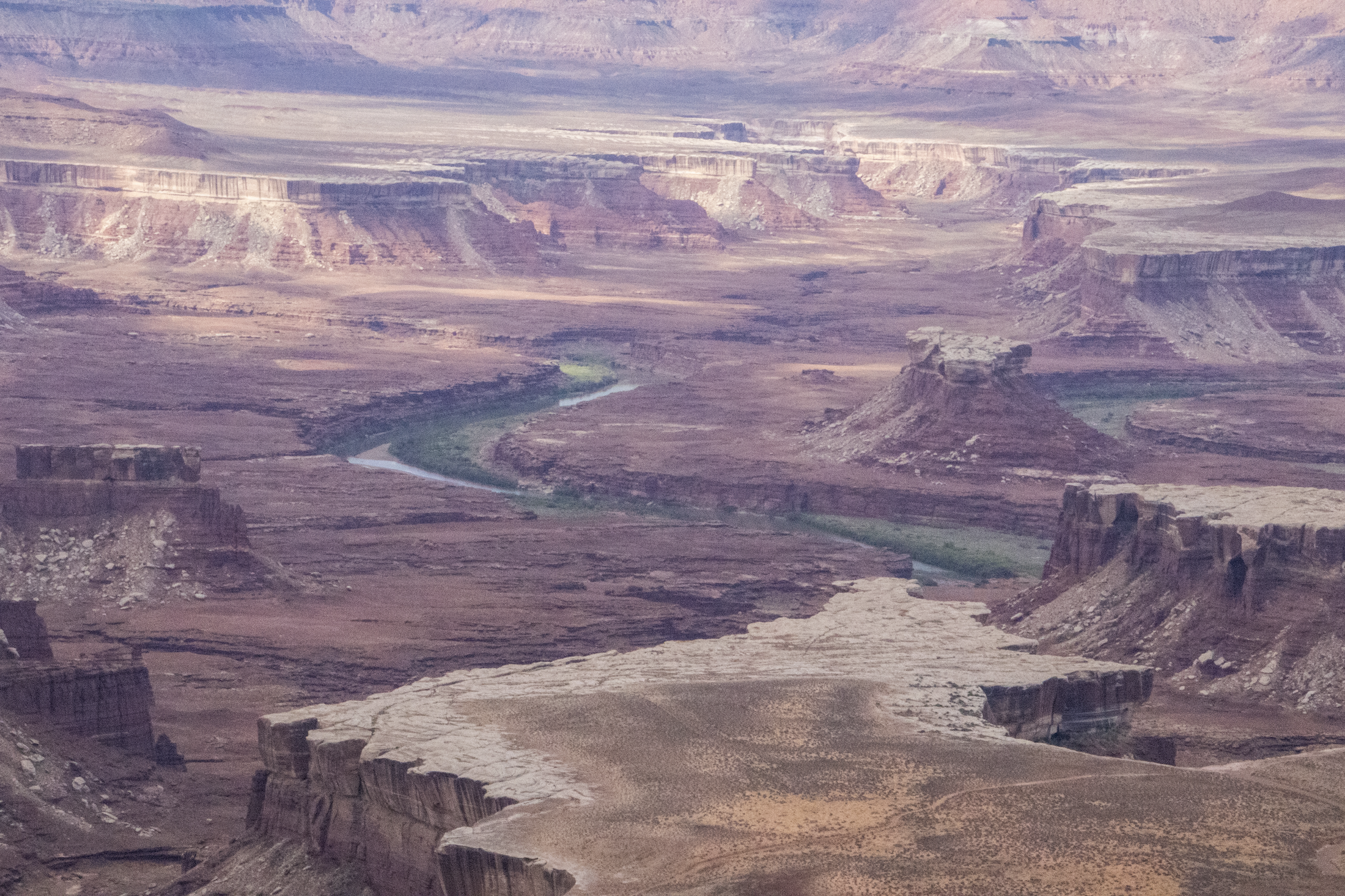
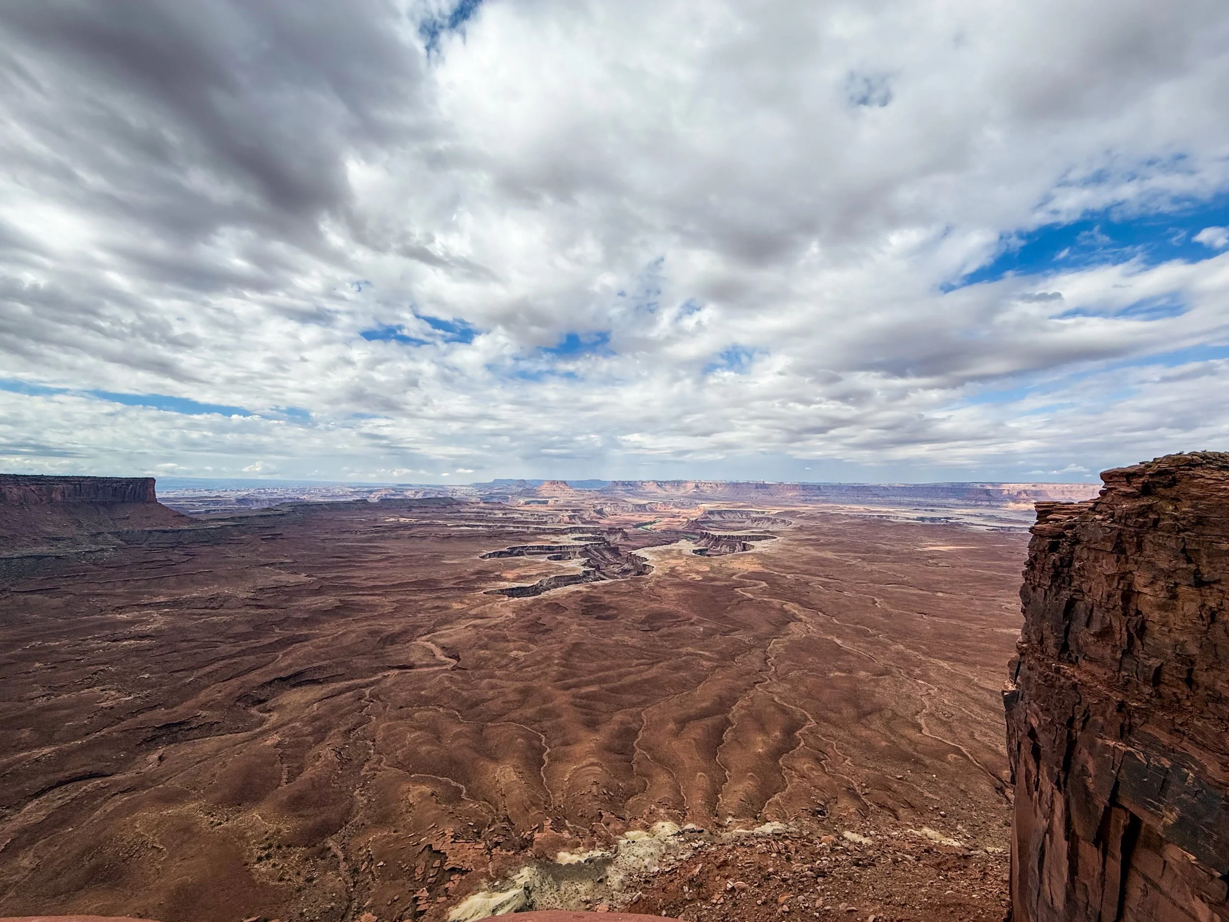
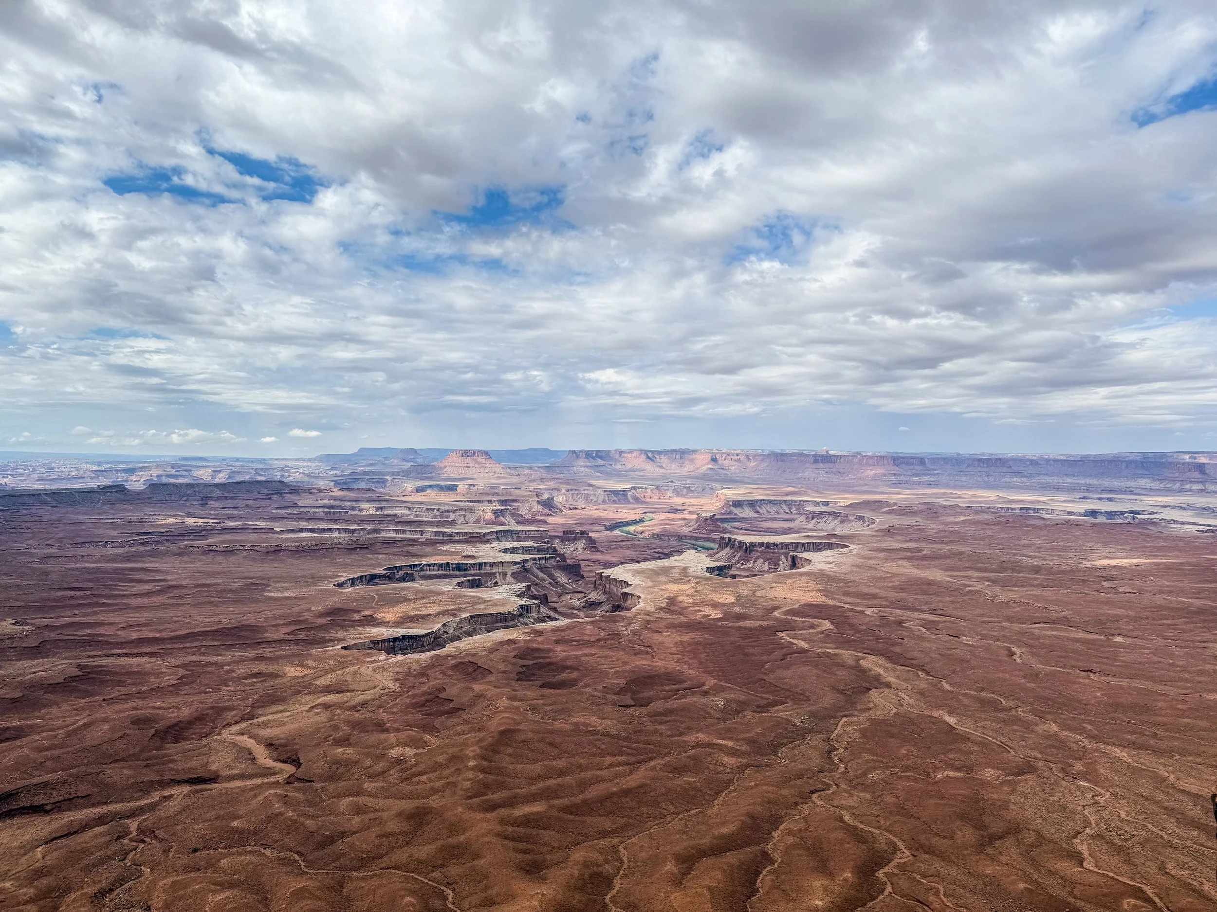
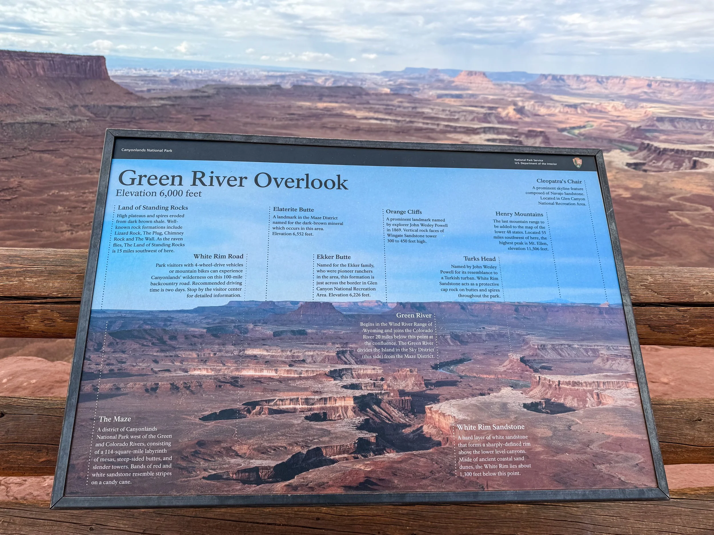
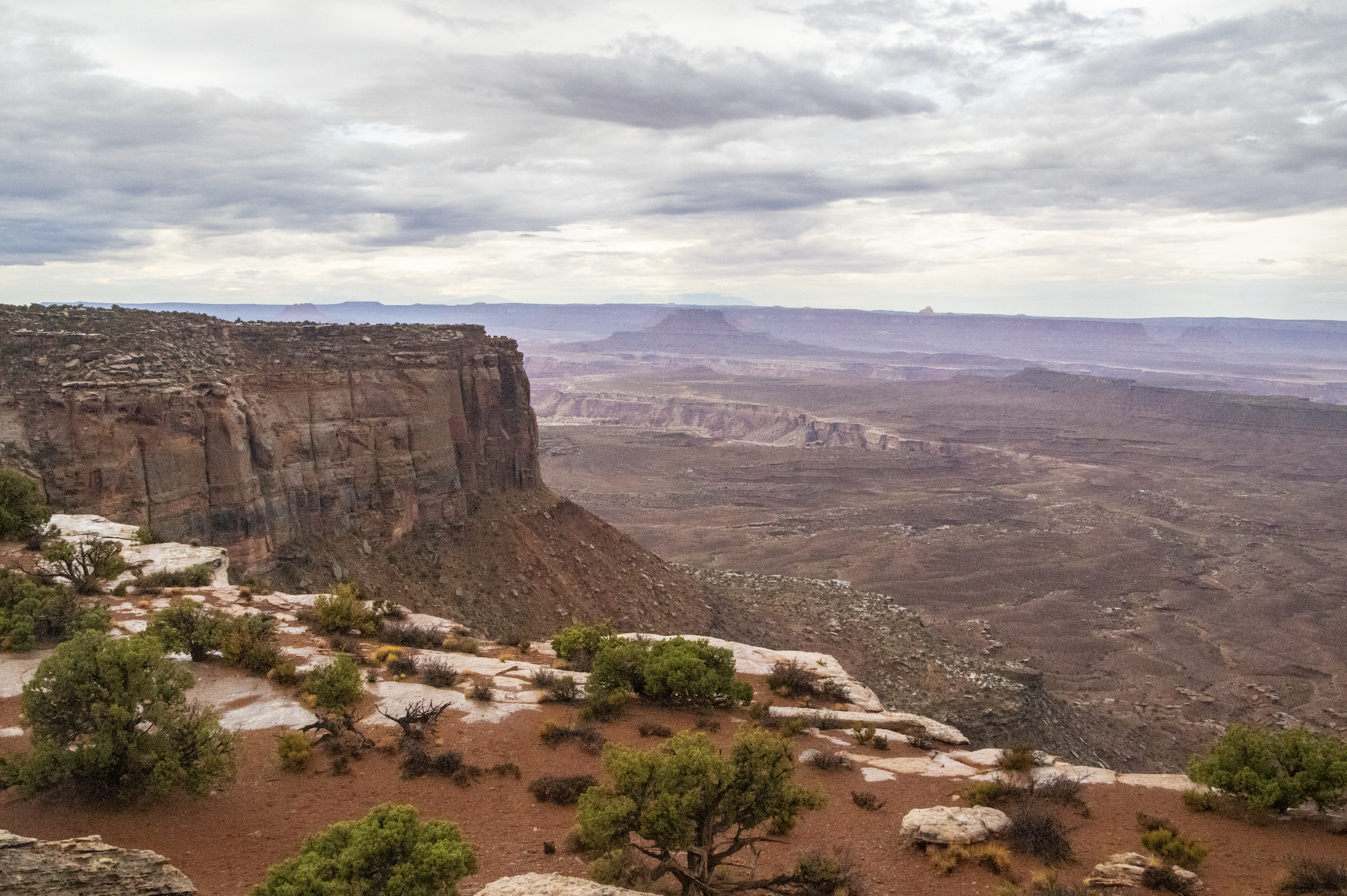
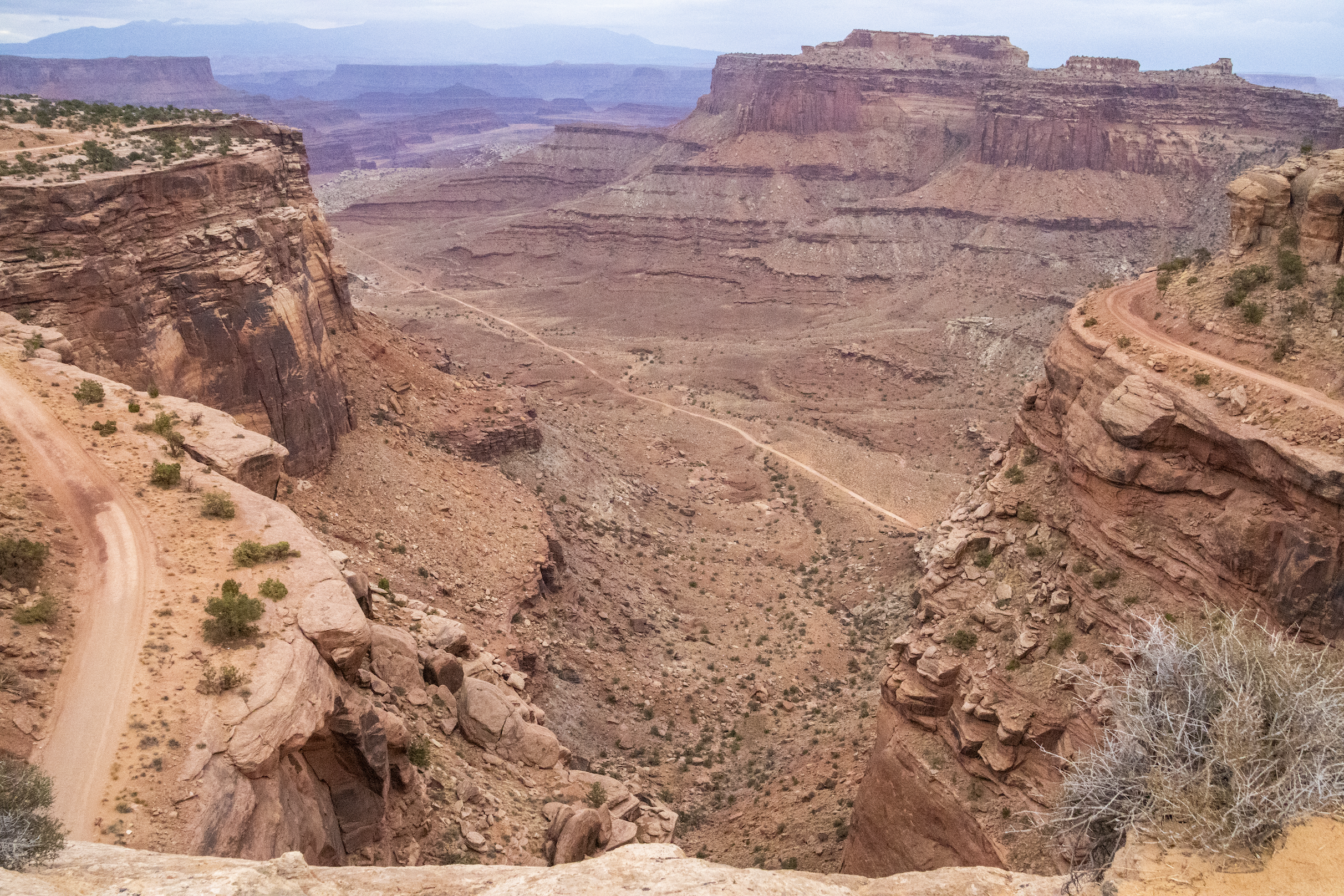
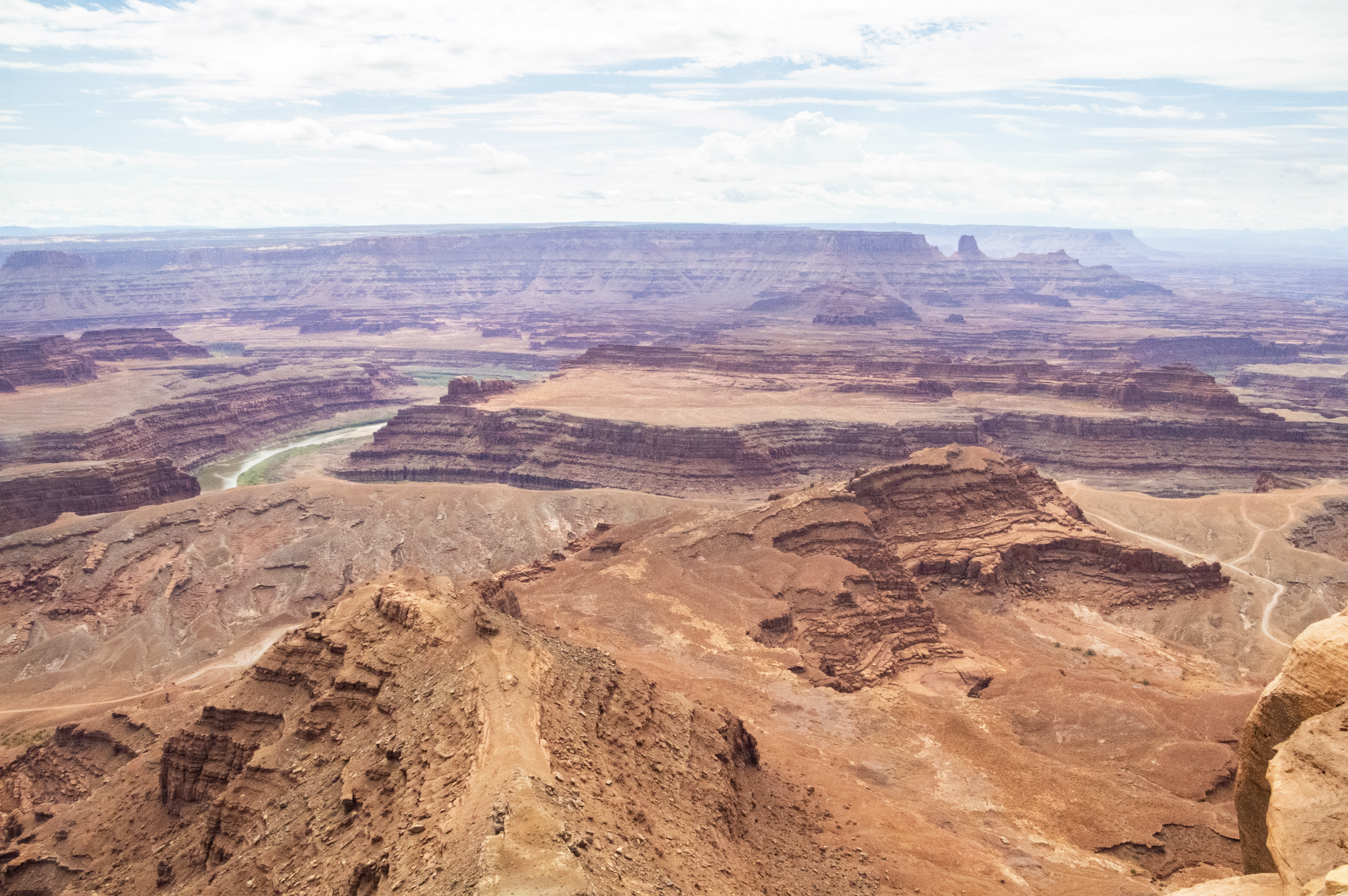
Green River Overlook
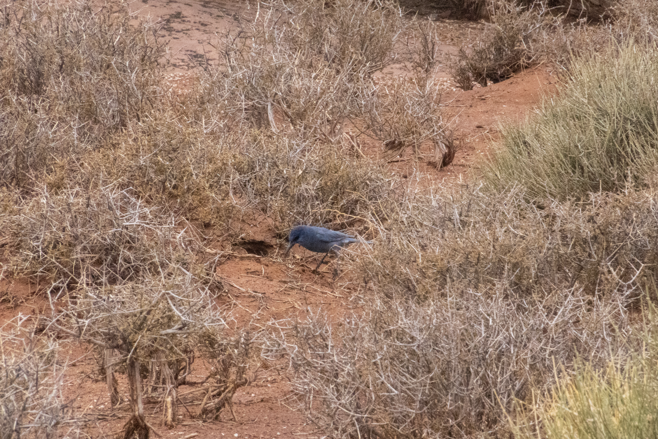
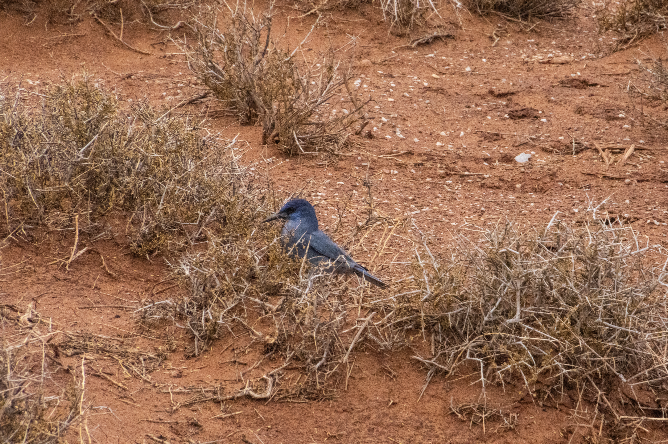
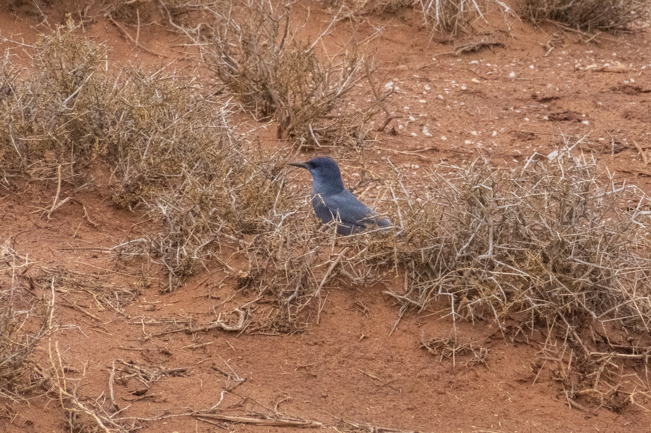
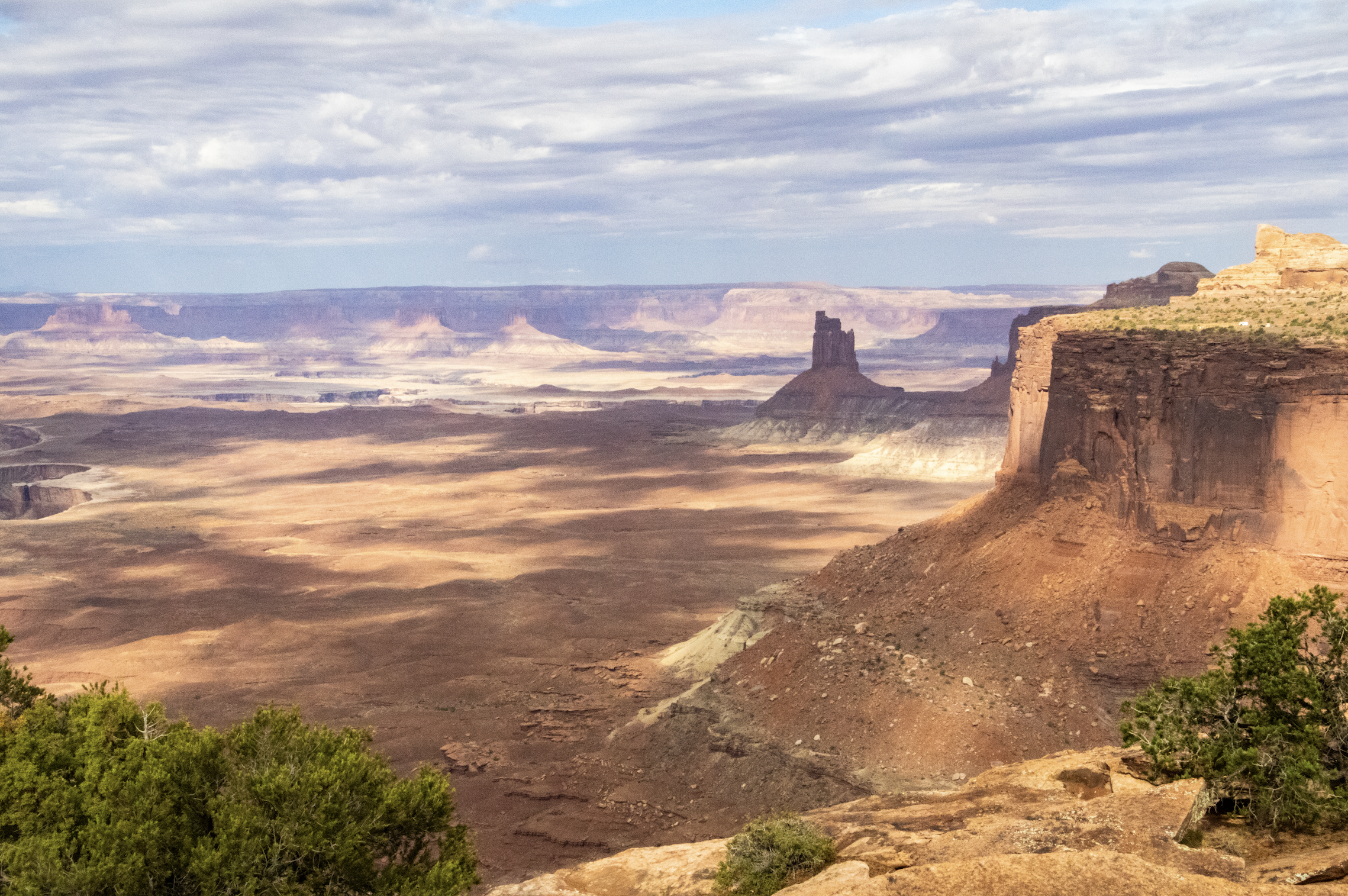
After some driving toward another overlook point, the rain dried up and the sun broke through the clouds, illuminating the landscape below. As we walked toward a point known as “Green River Overlook”, small blue birds called Chimney Swifts darted and hopped amongst the dry desert bushes we passed. Suddenly, it was an incredible day!
Here’s what we found at Green River Overlook…
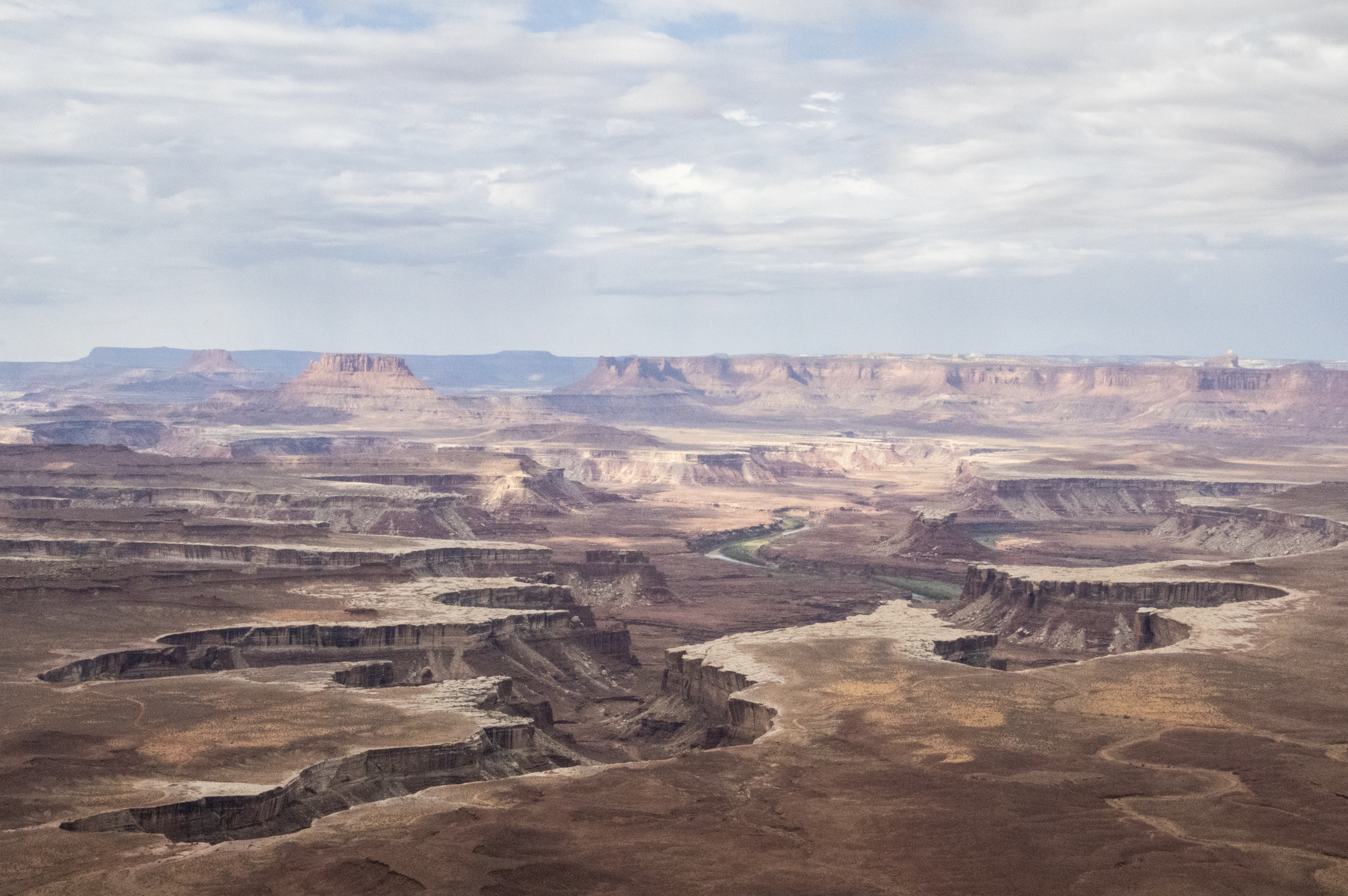
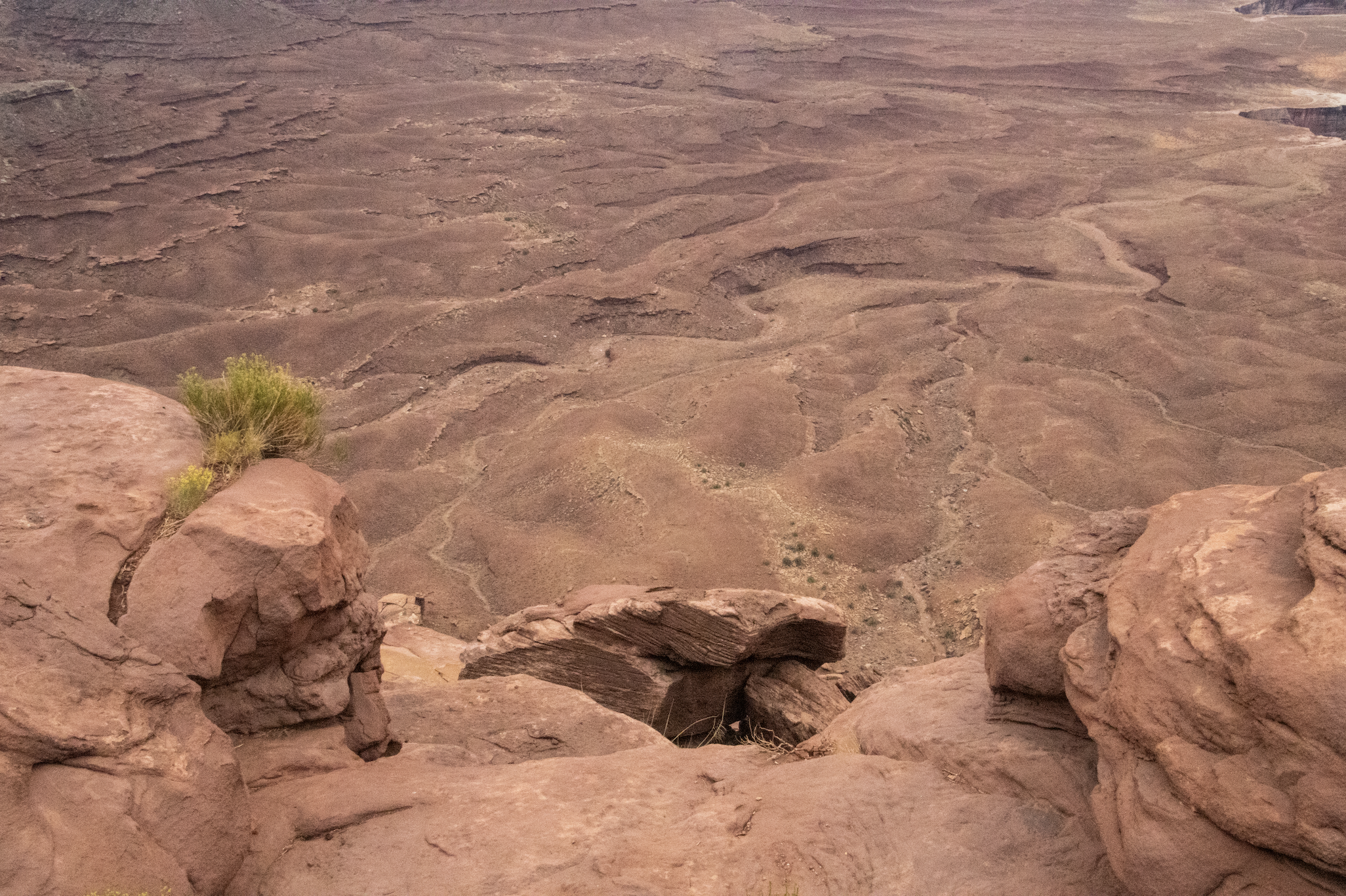
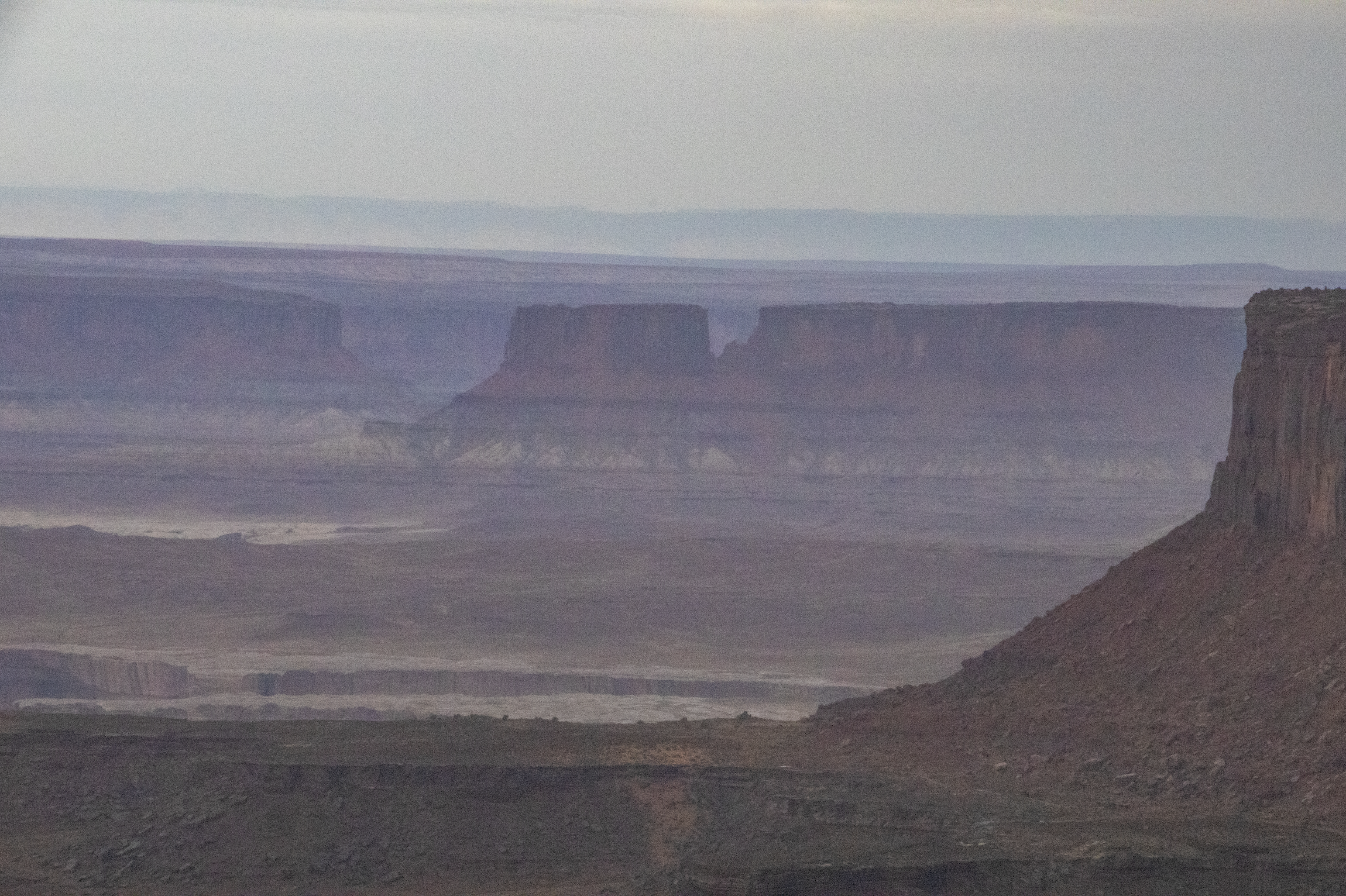
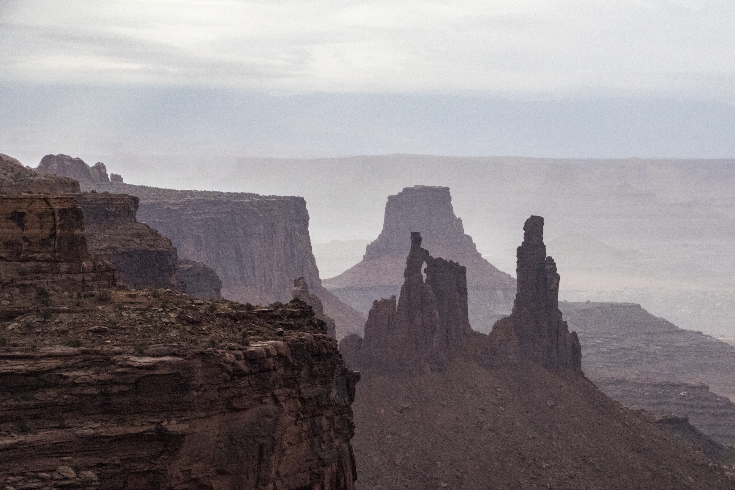
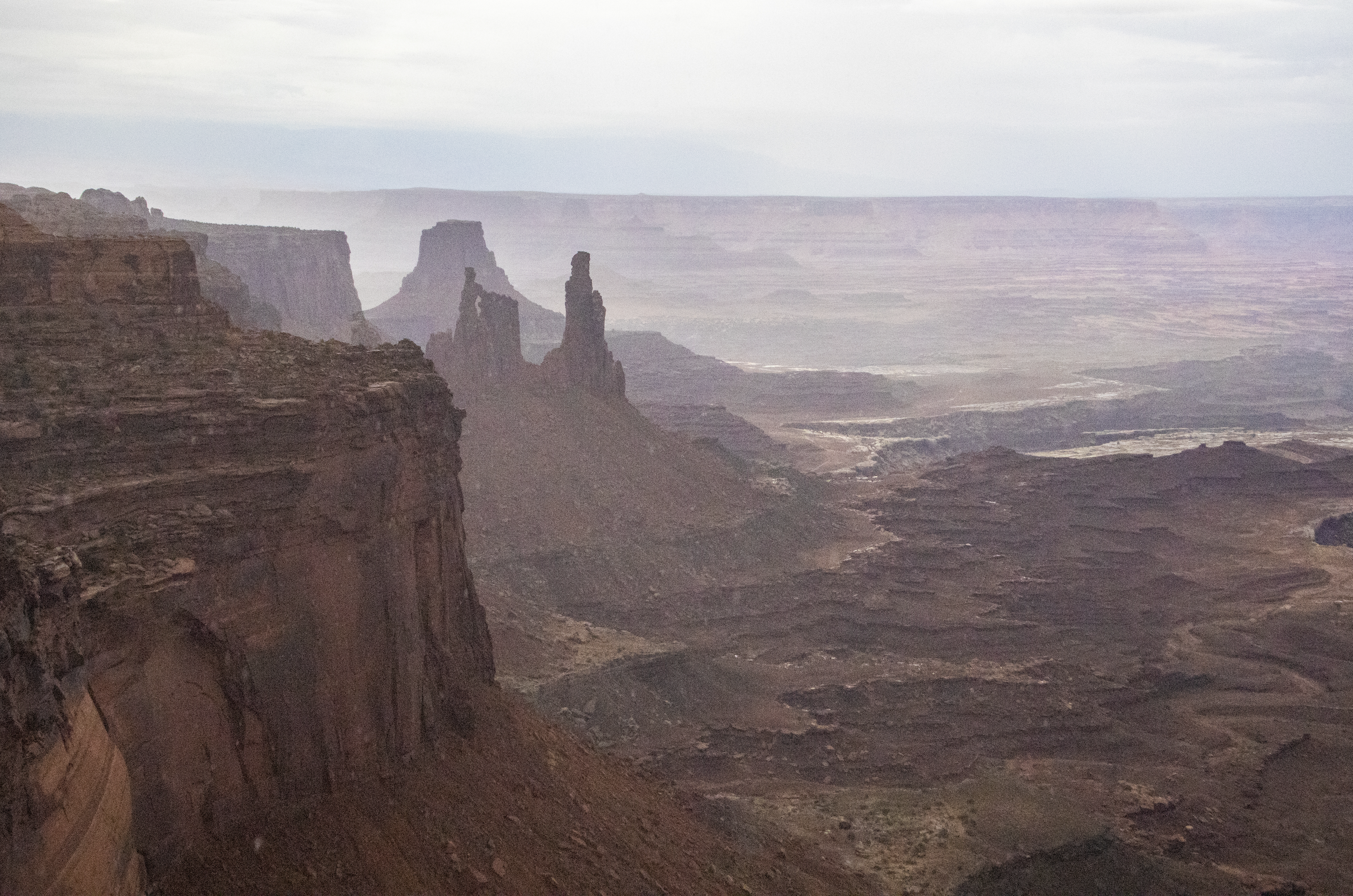
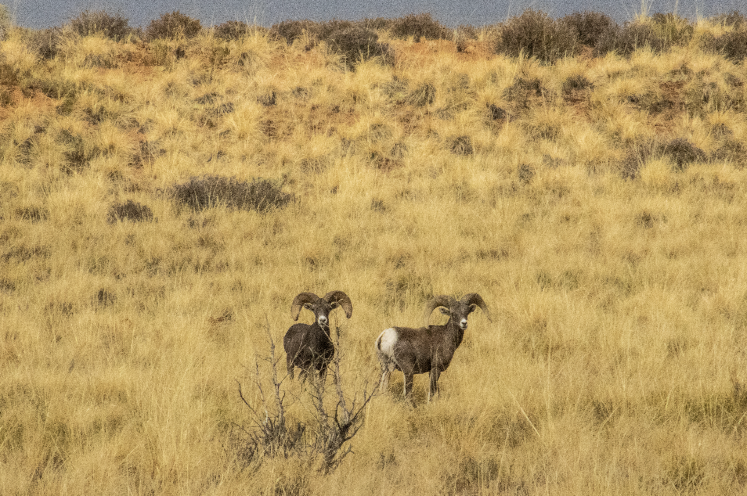
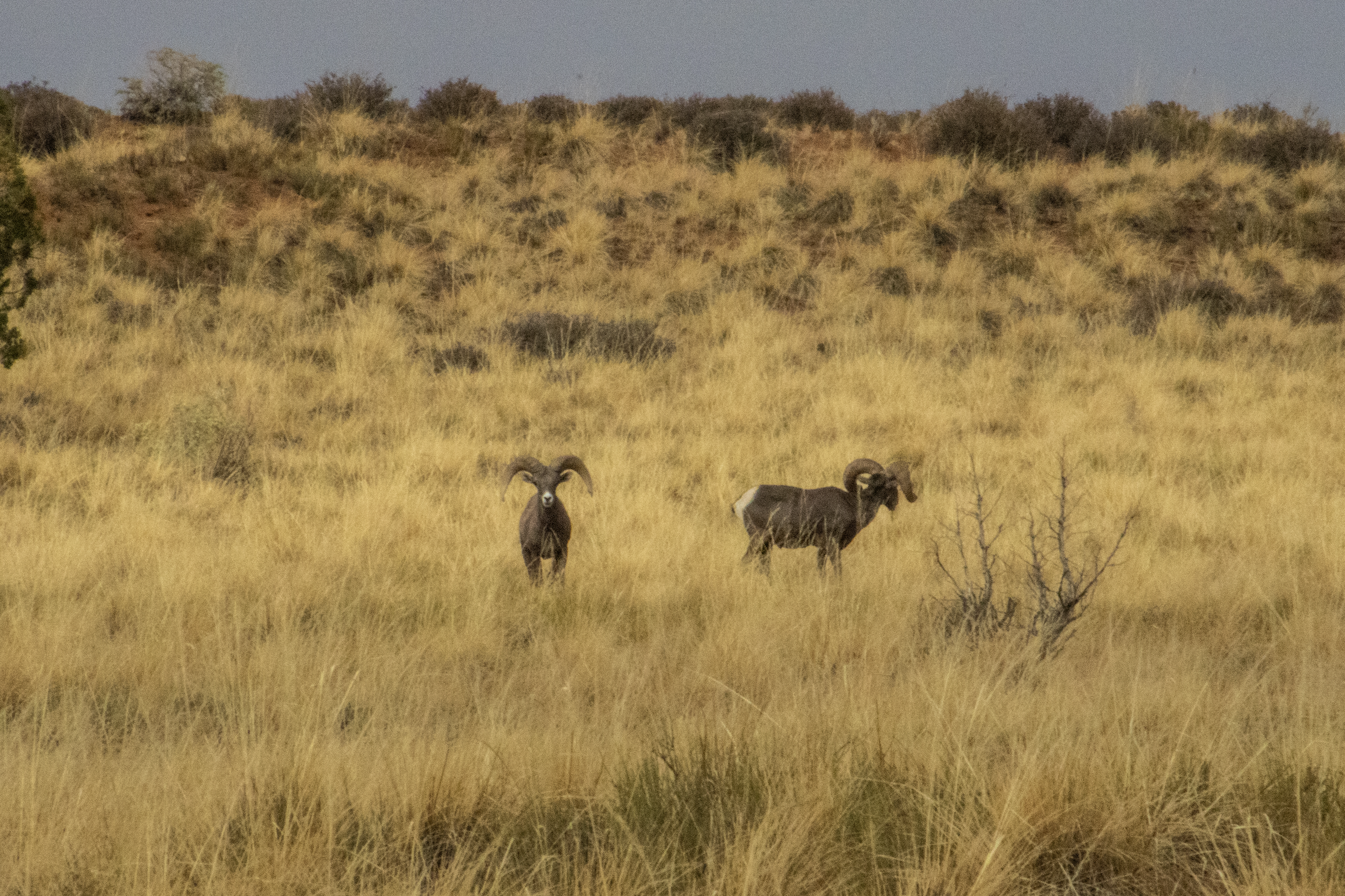
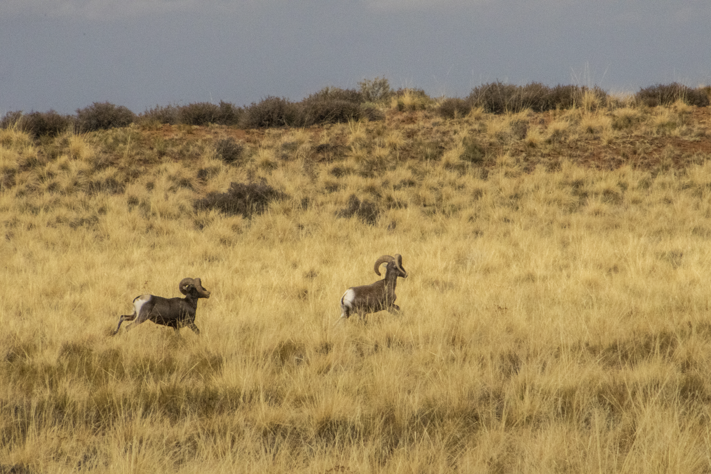
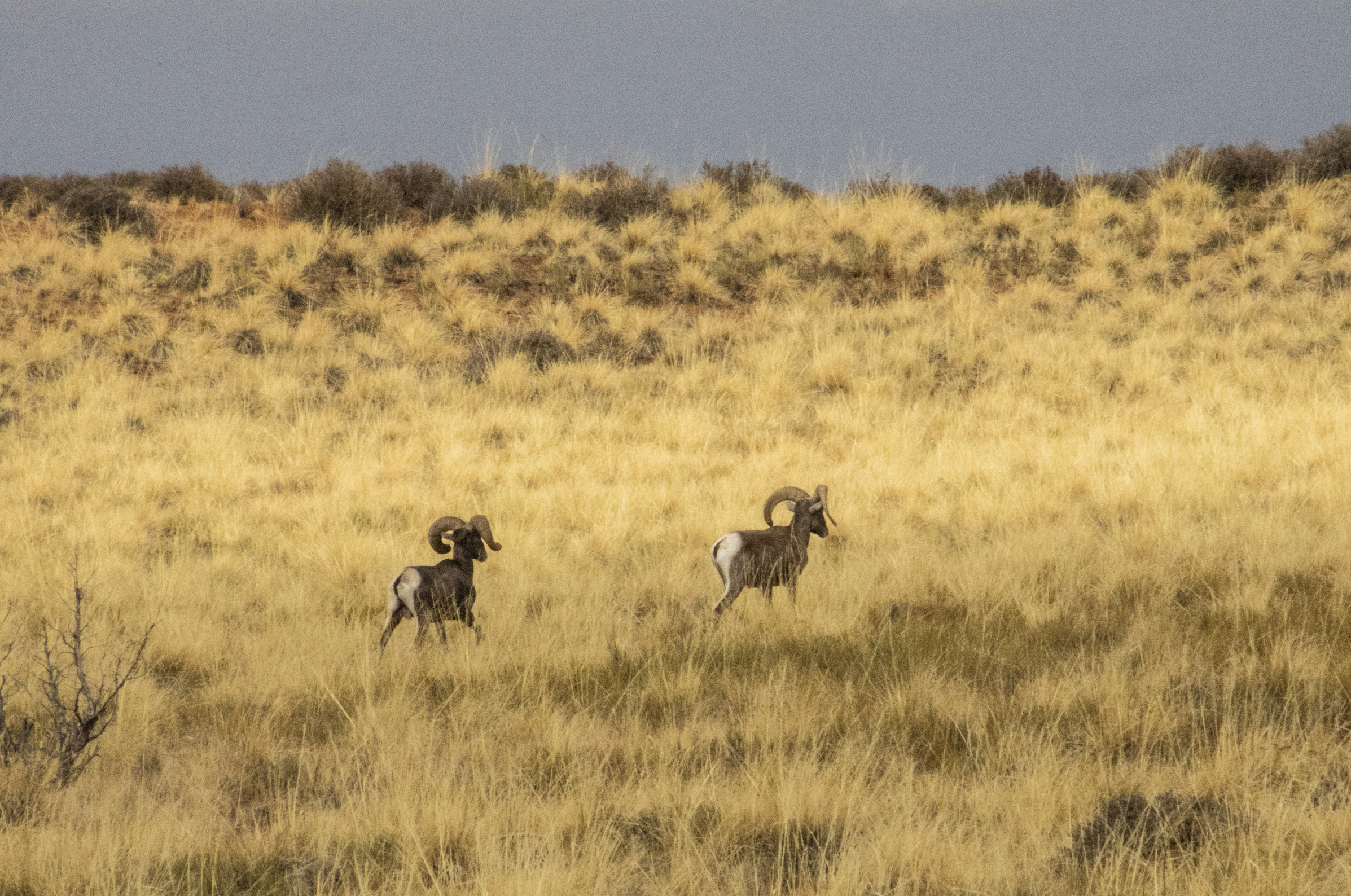
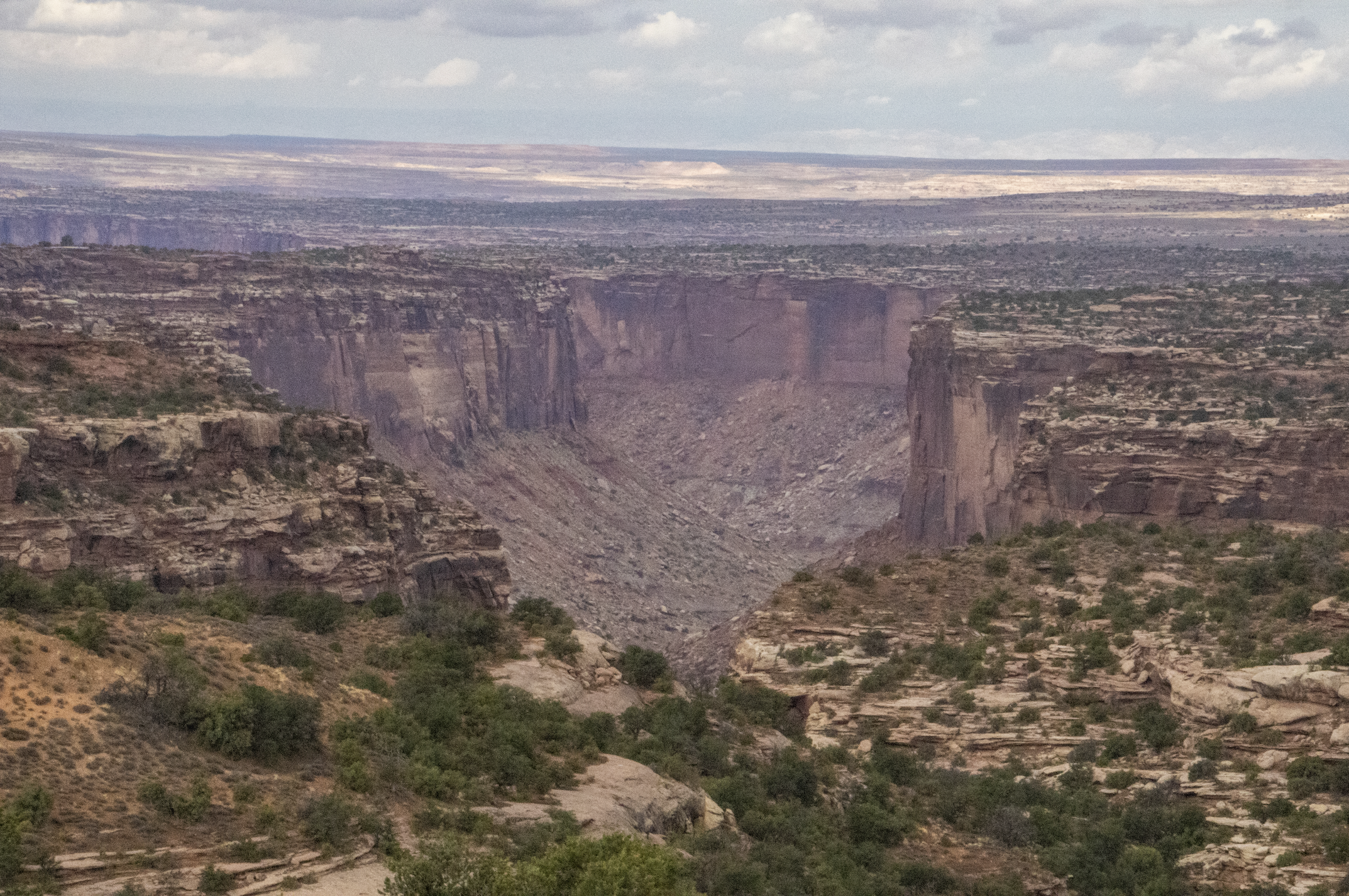
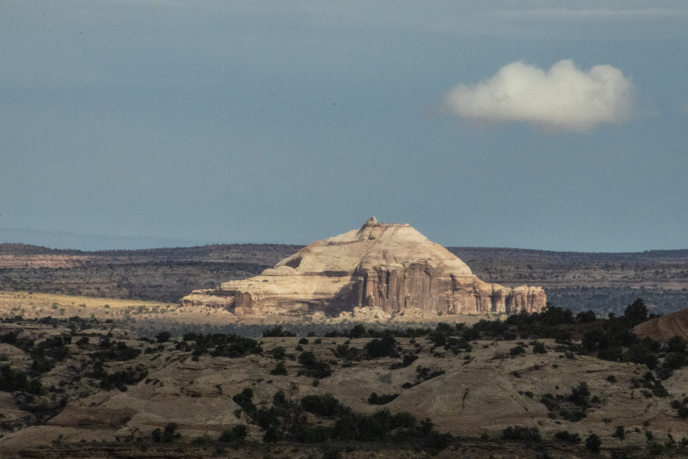
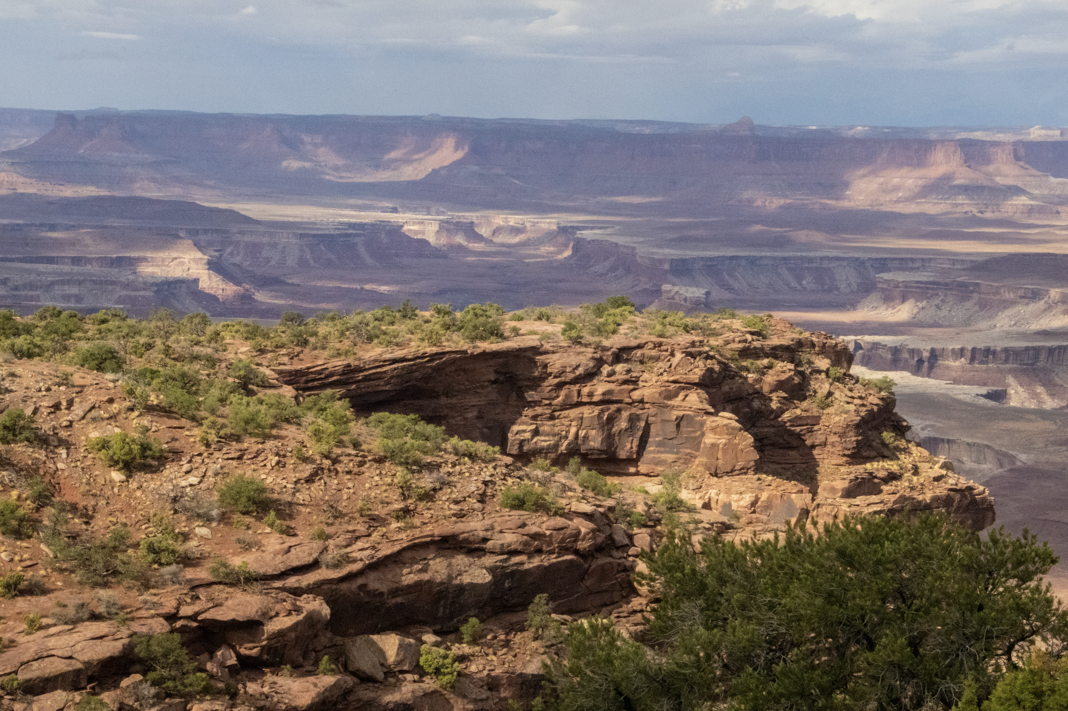
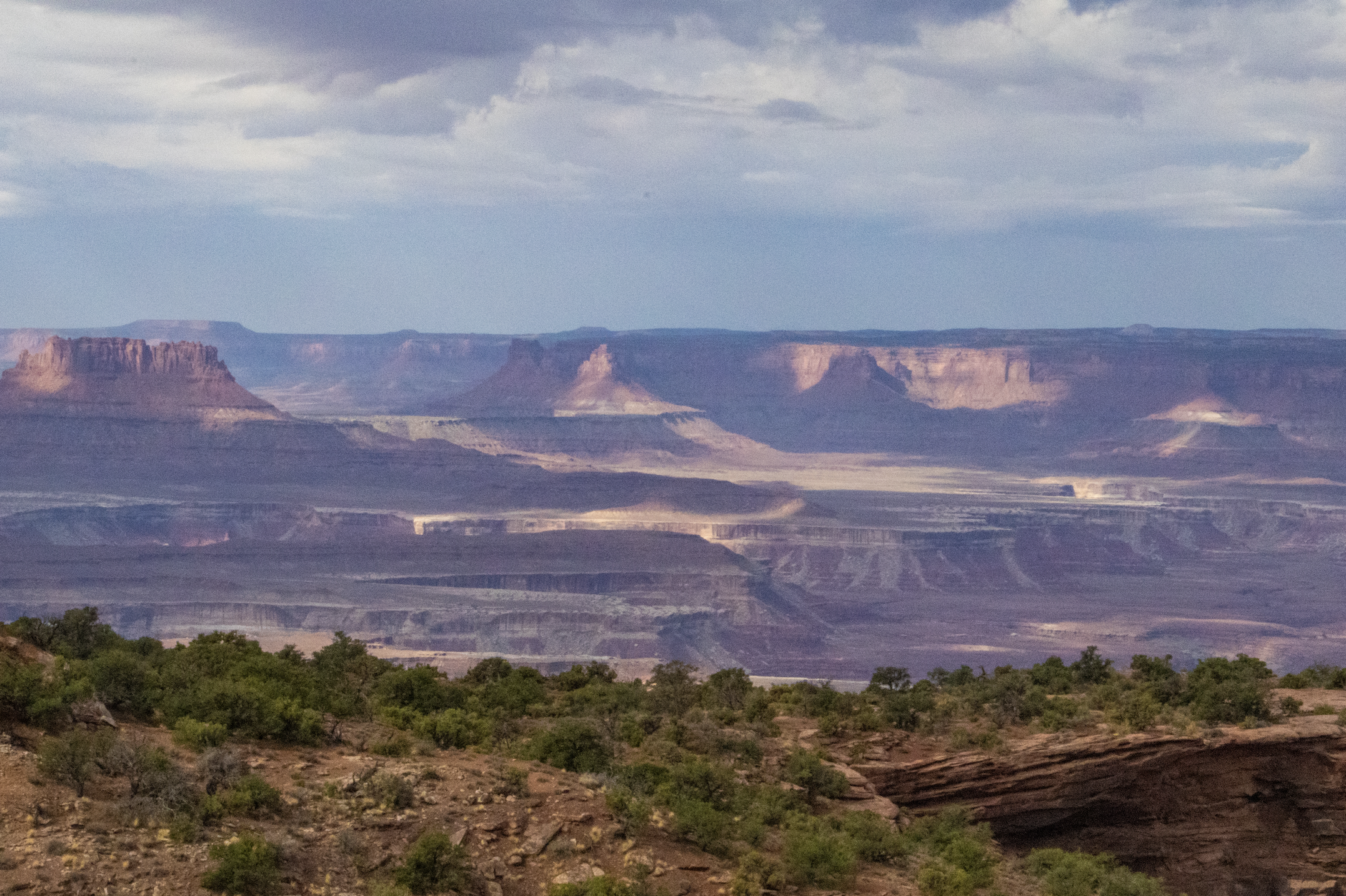
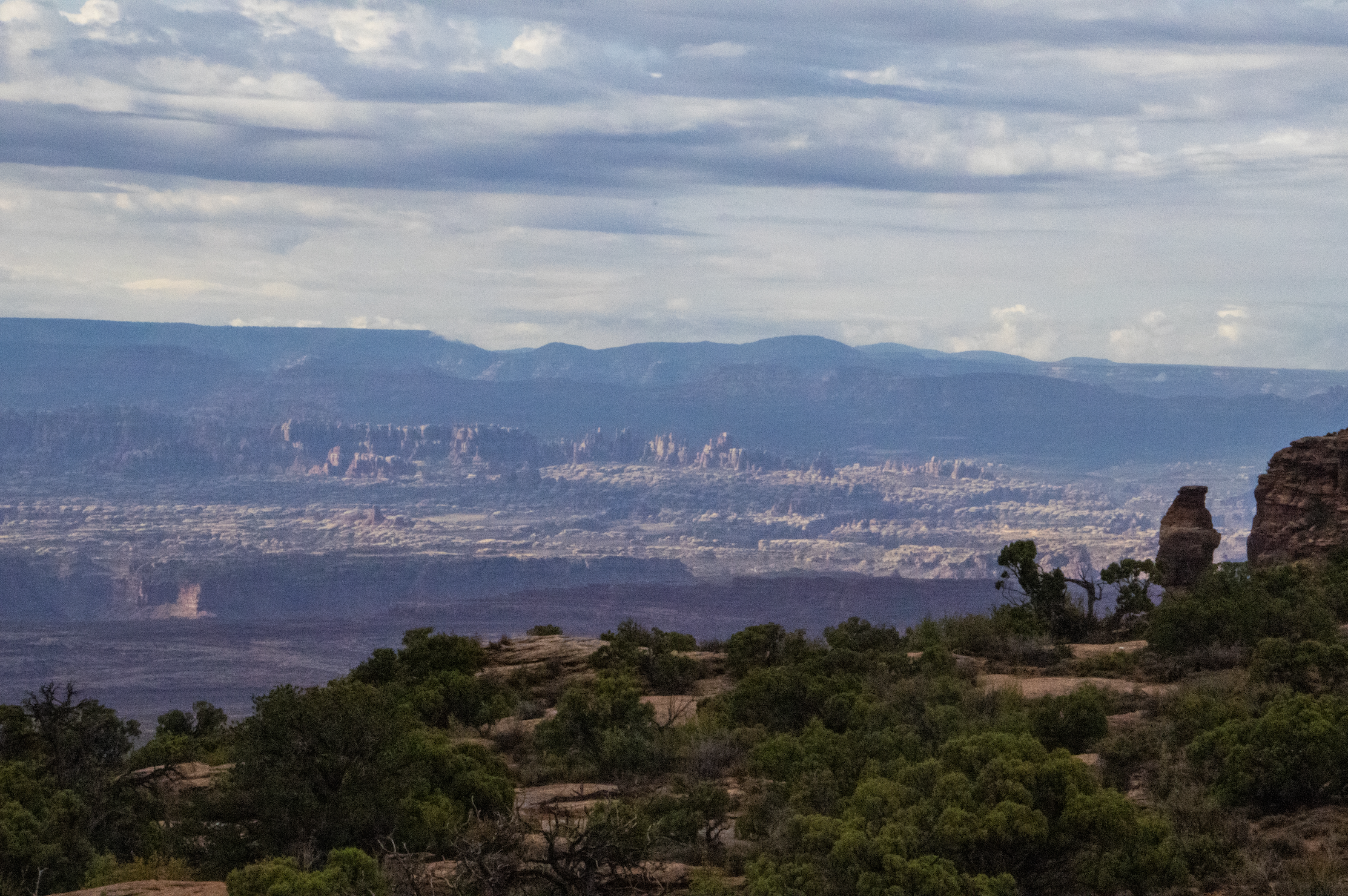
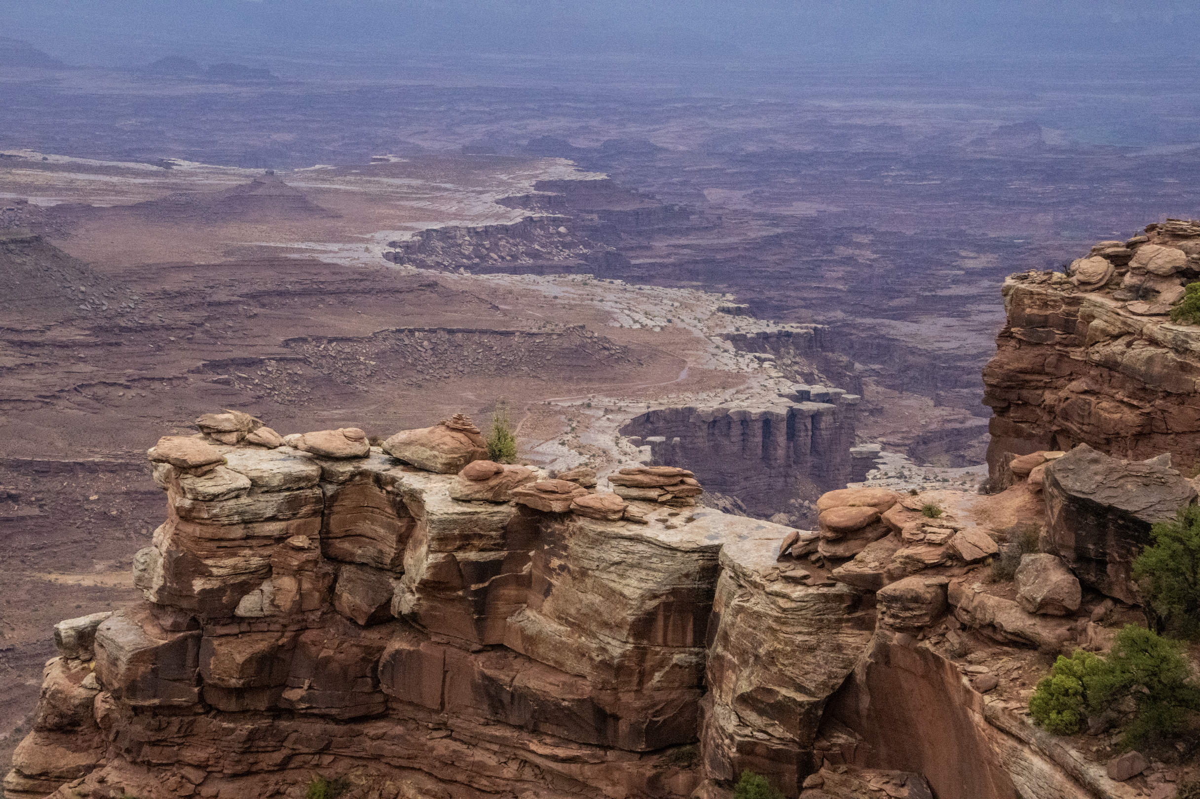
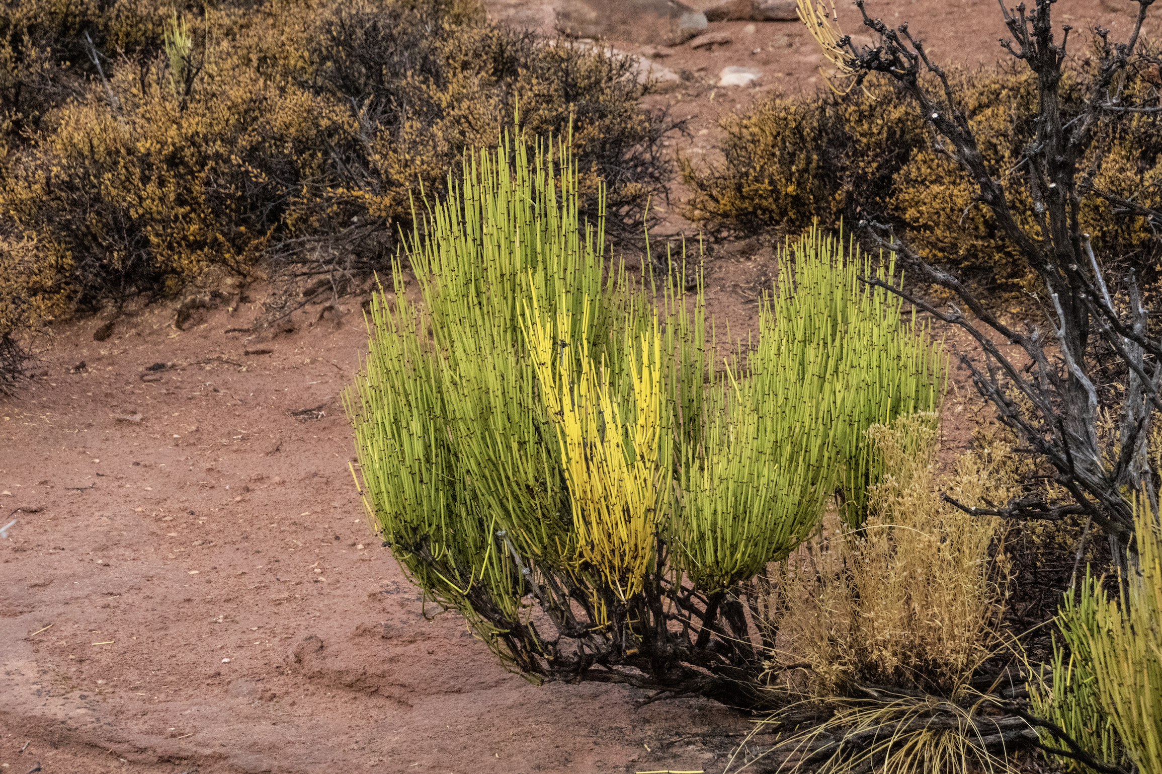
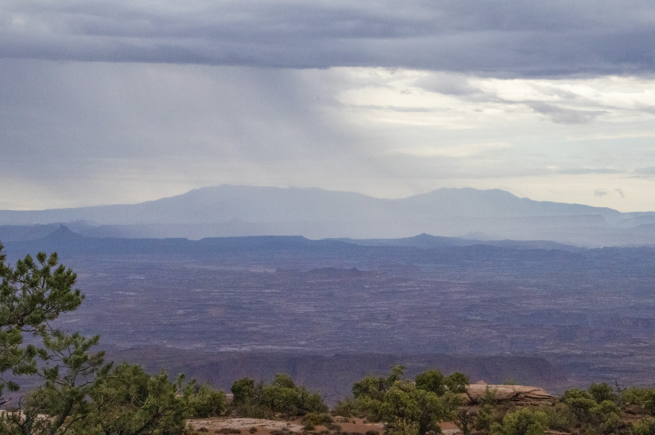
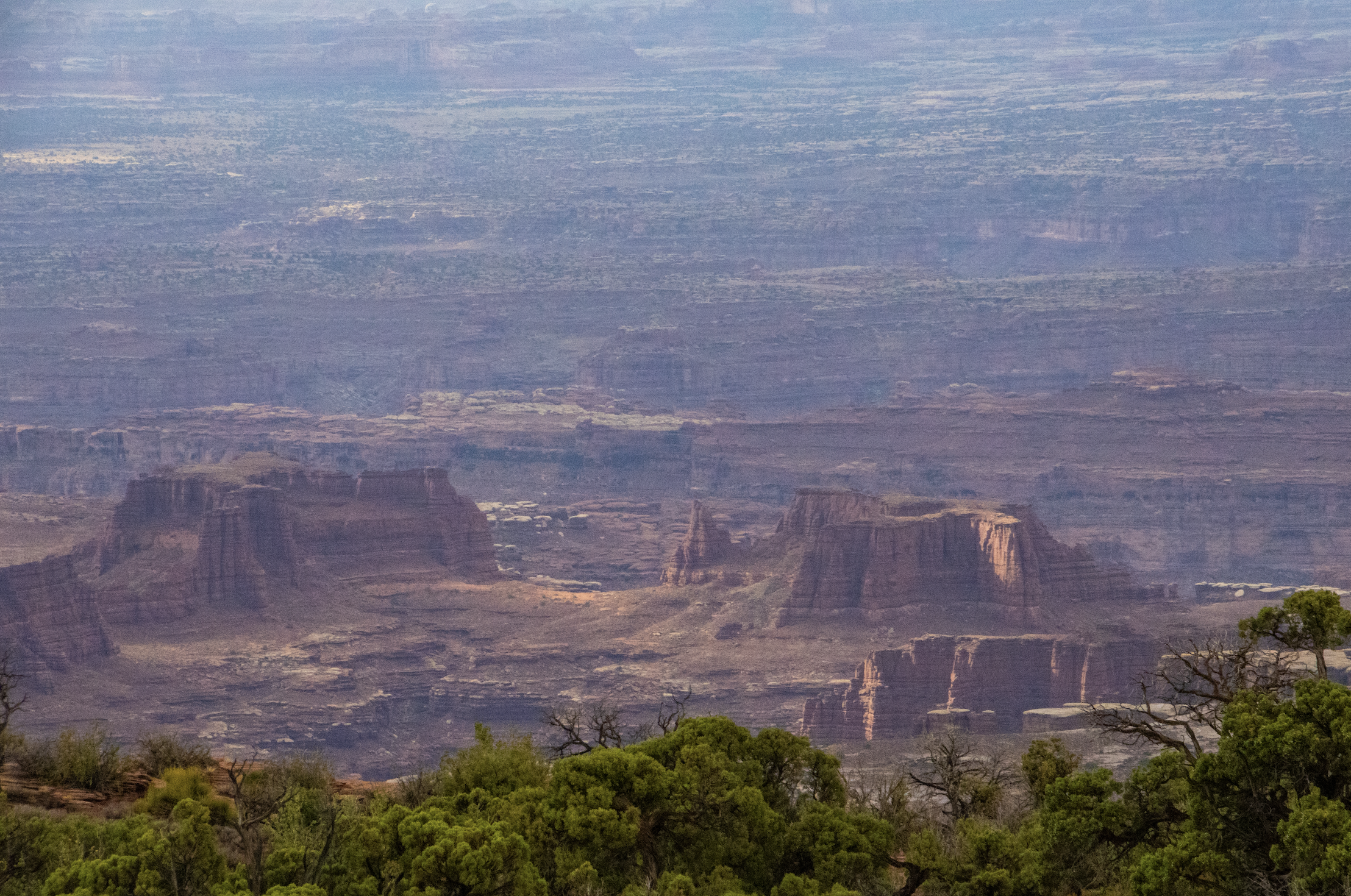
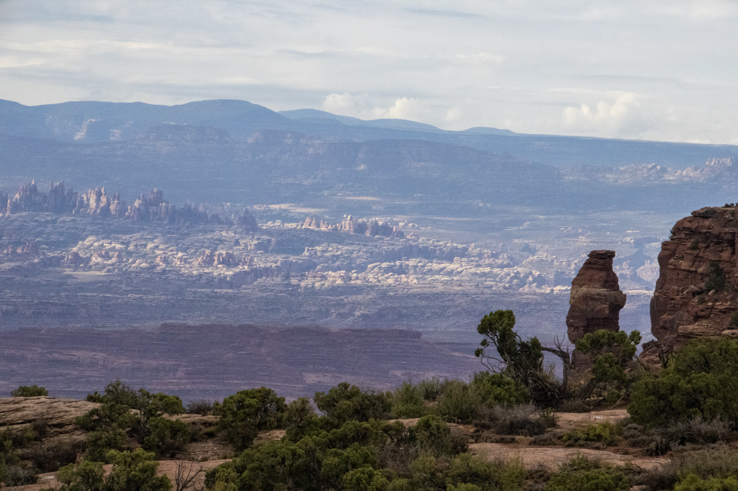
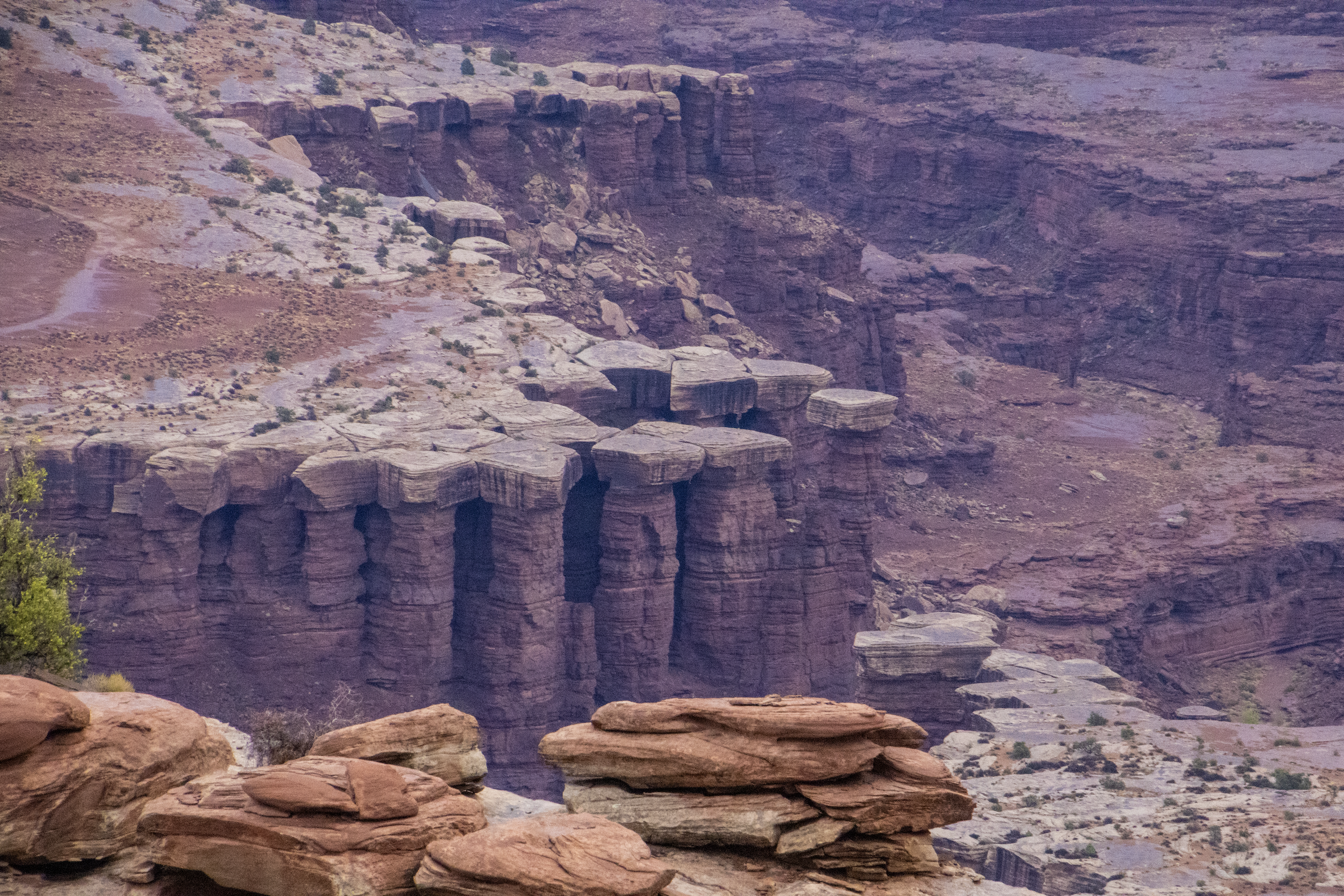
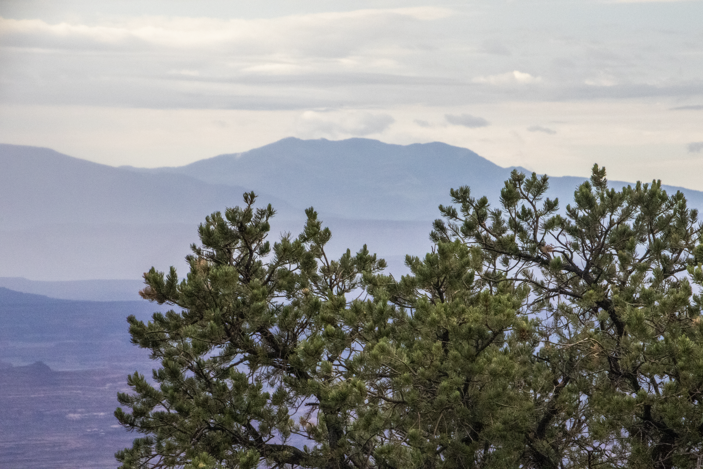
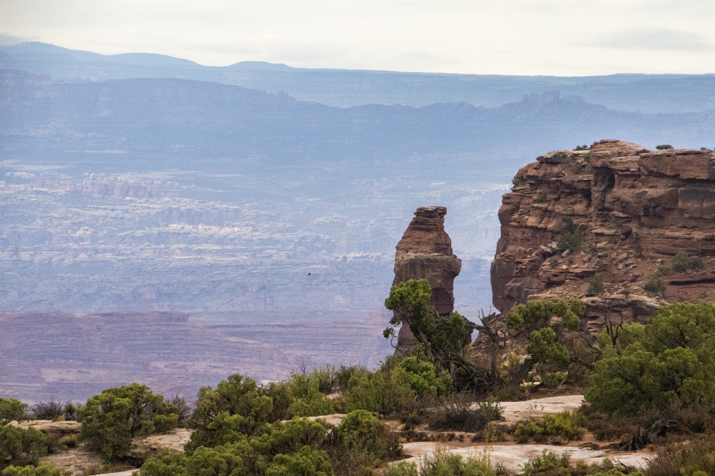
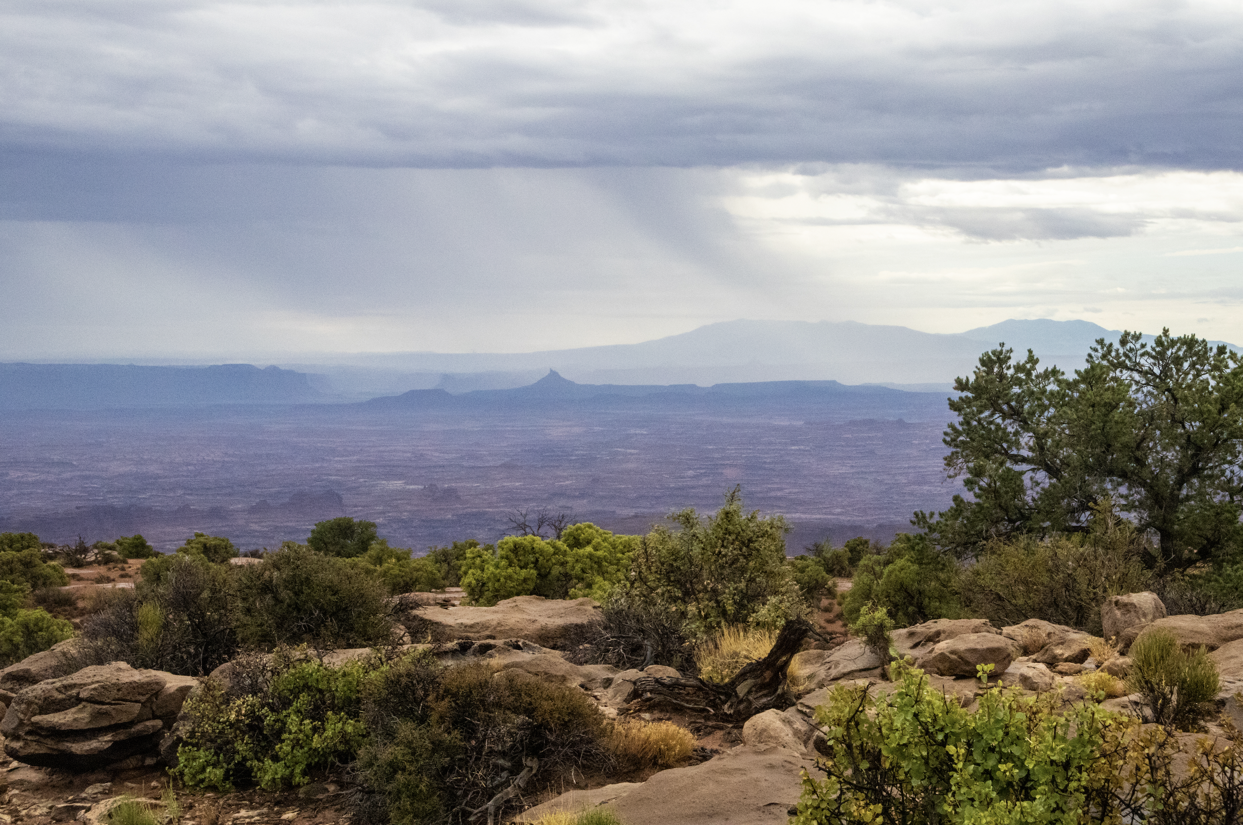
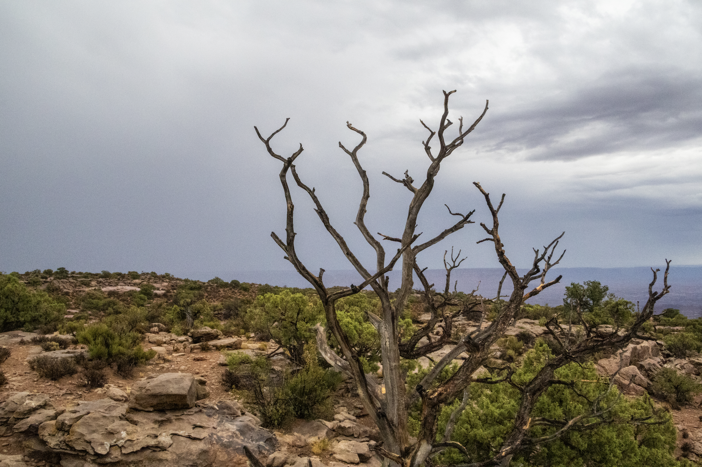
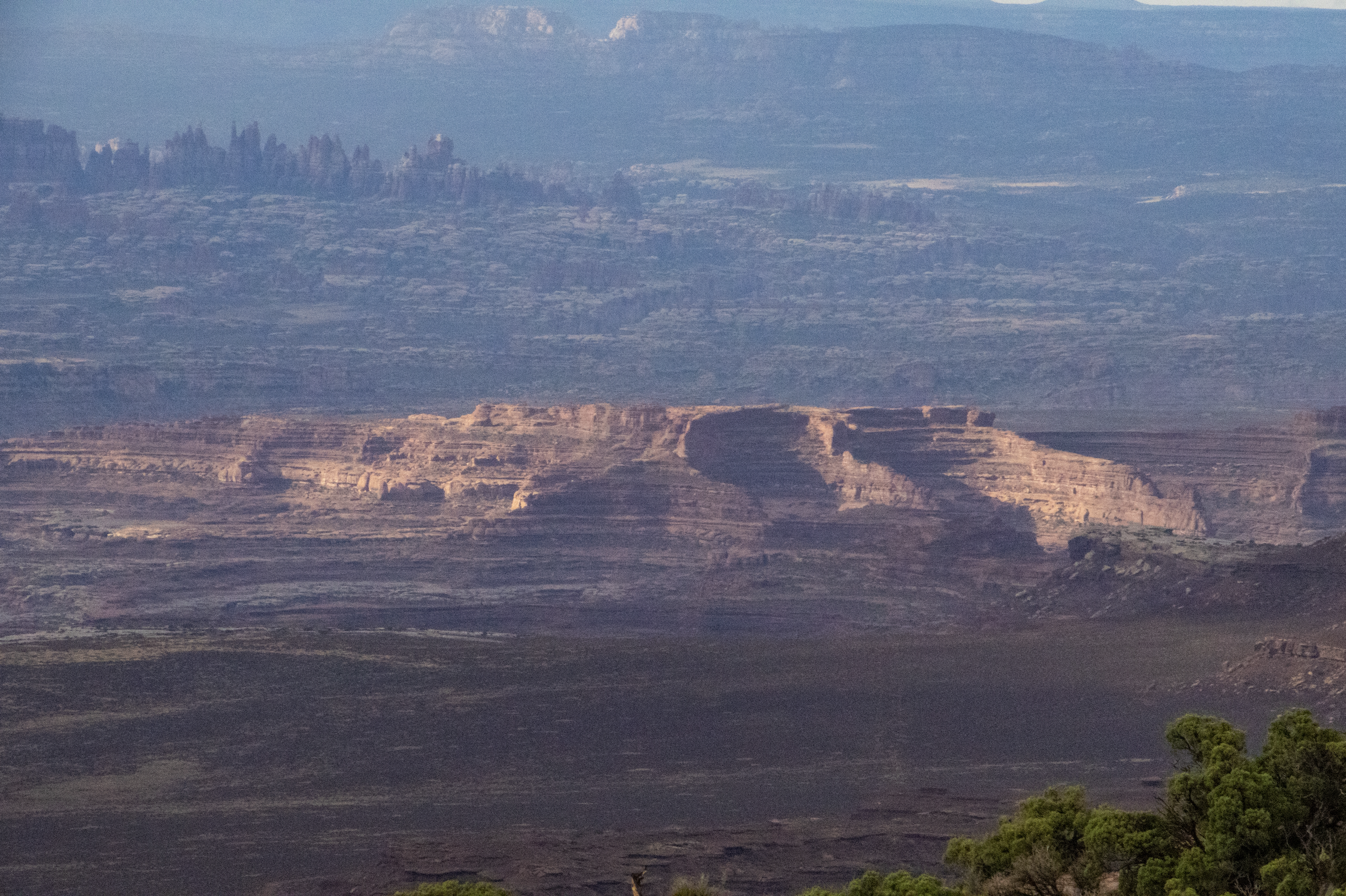
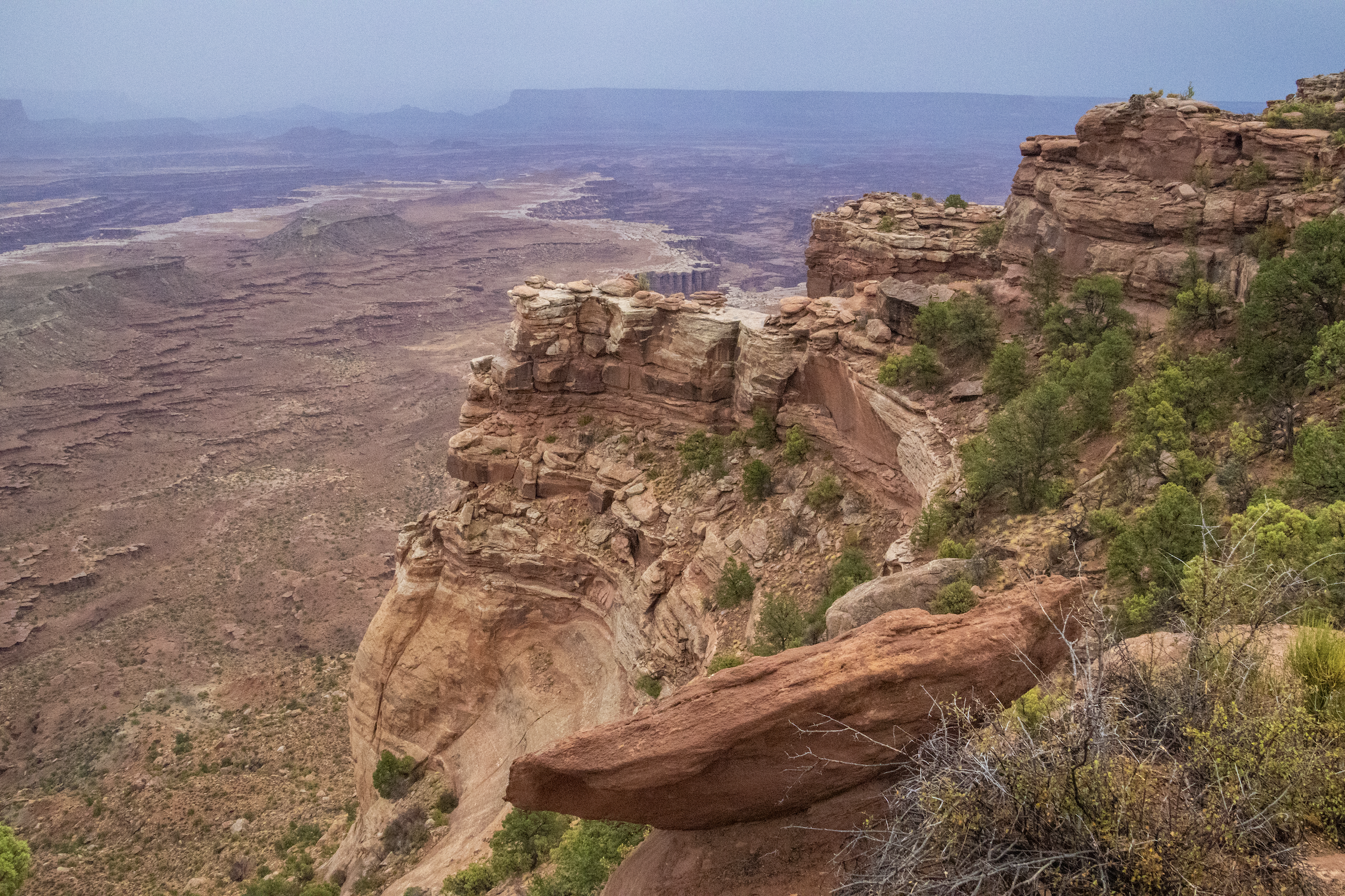
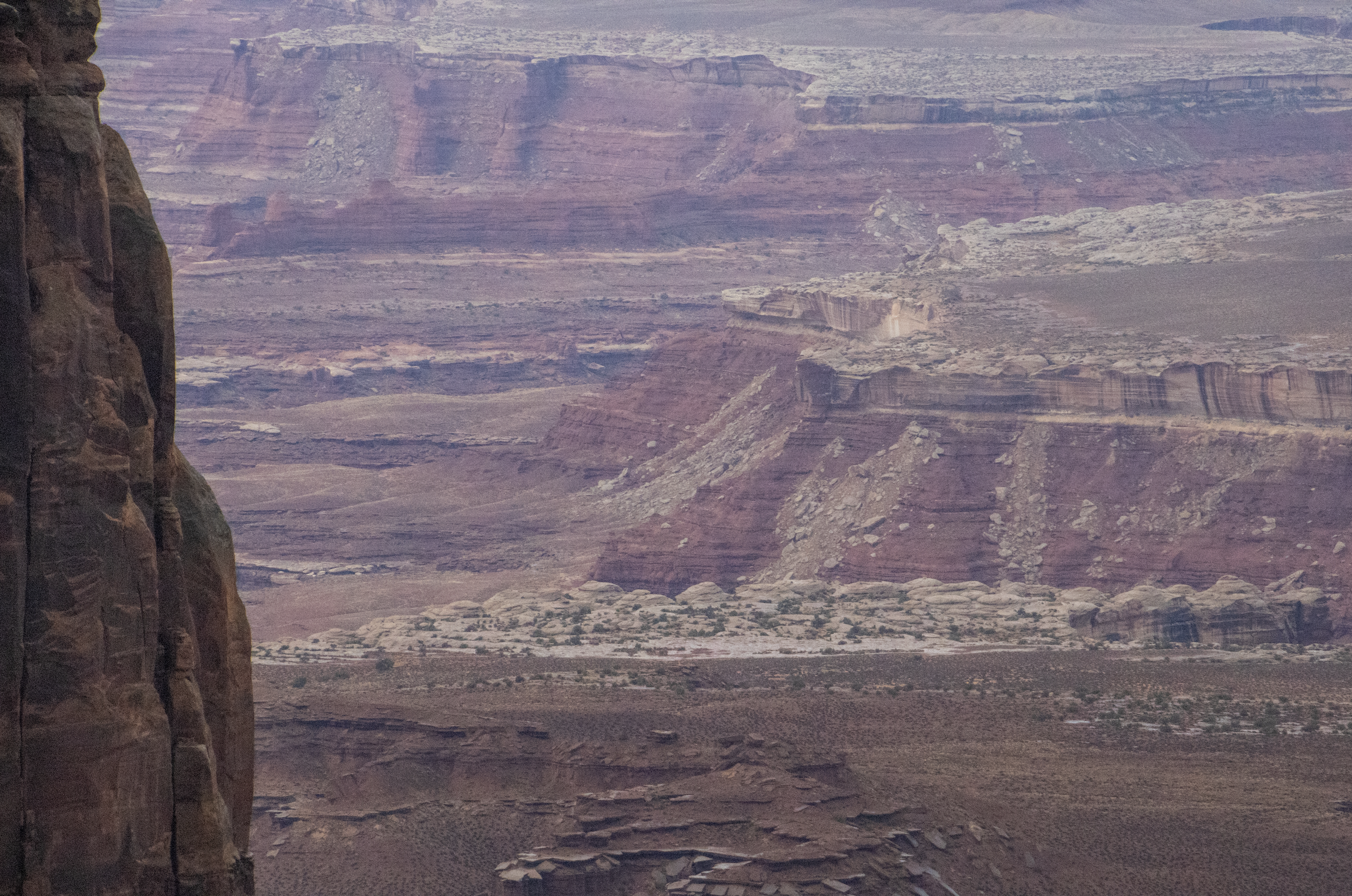
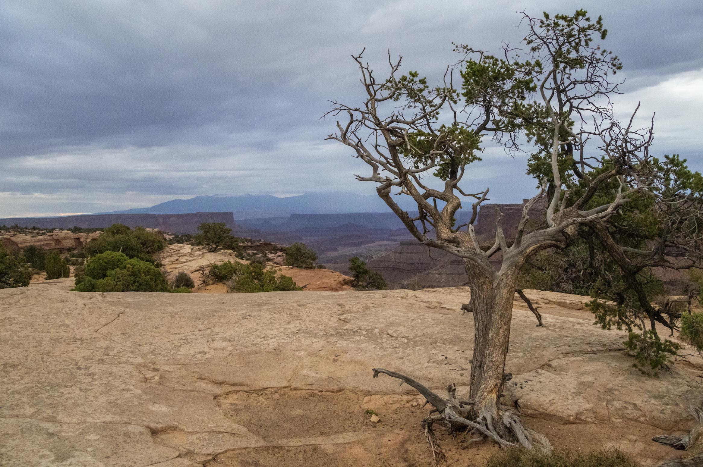
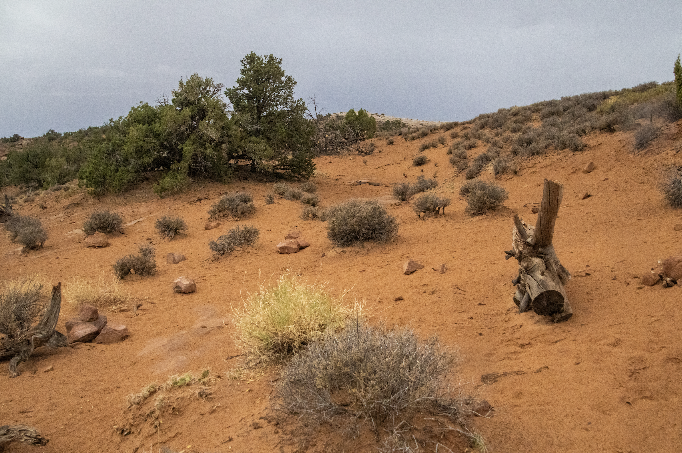
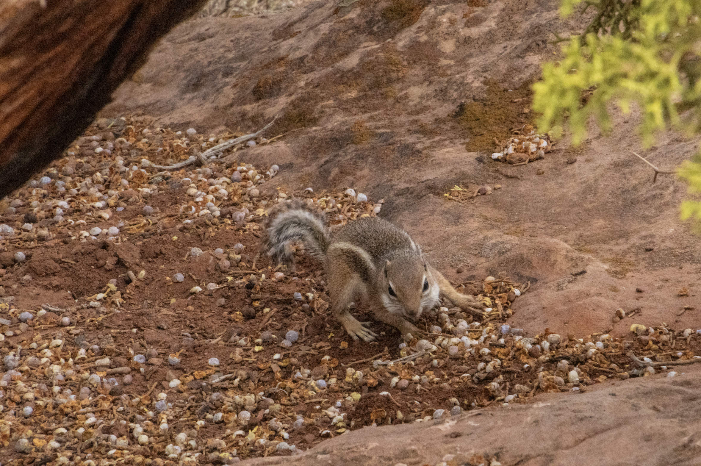
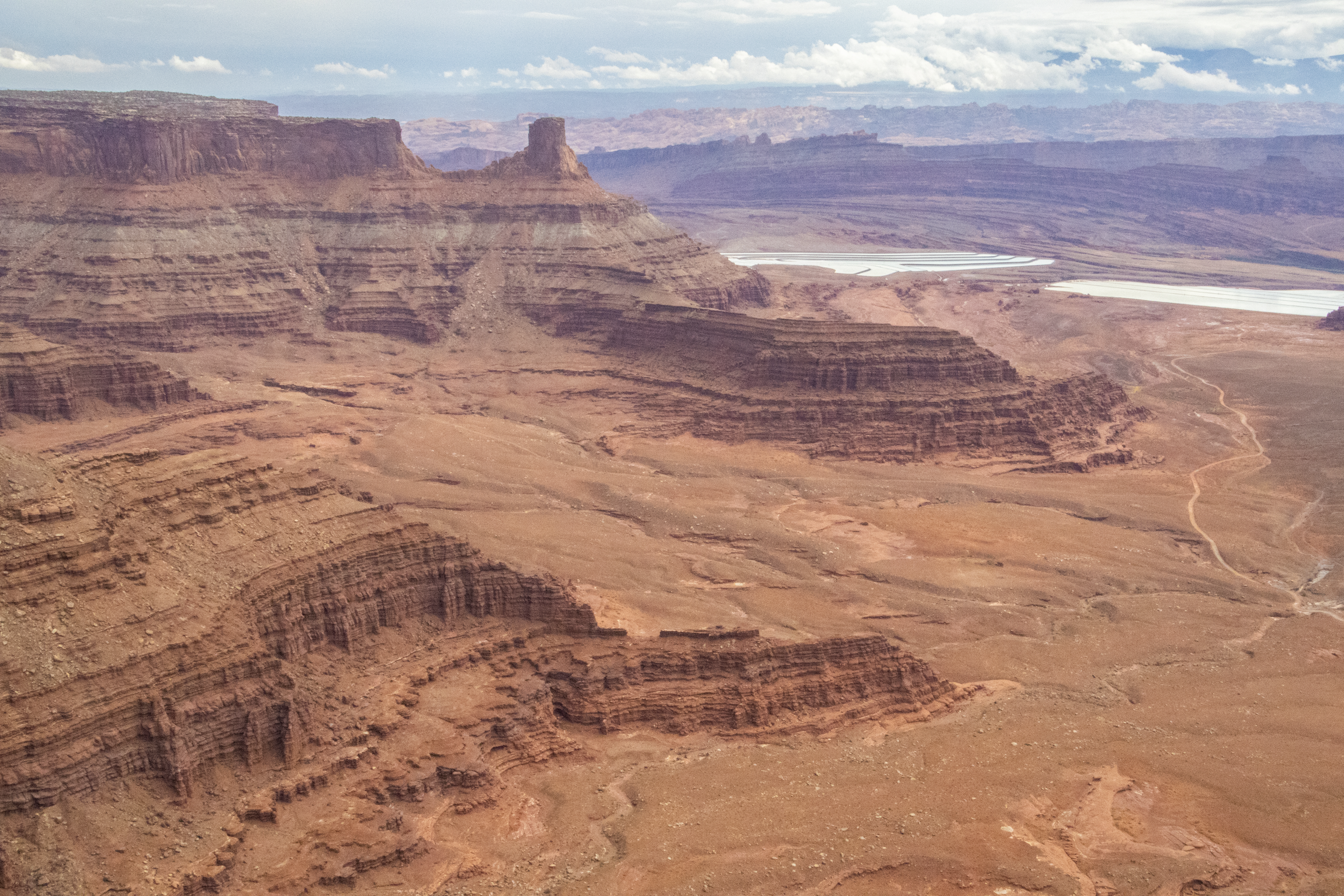
From there, the viewpoints began blending together for me. It was becoming clear that the only way off of this island in the sky was to drive back the way we came in; it’s more of a peninsula really. But the exact shape of this peninsula eluded me, as it seemed to continue on over every ridge and around every turn. Sometimes, the peak of the mesa seemed to be getting too narrow for comfort, but then it would widen again. You can spend a lot of time driving around up here… and we did! We encountered a few more Big Horn Sheep as well, as we had in the Colorado National Monument. I jumped out of the car and tromped through the tall grass a ways to get these shots.
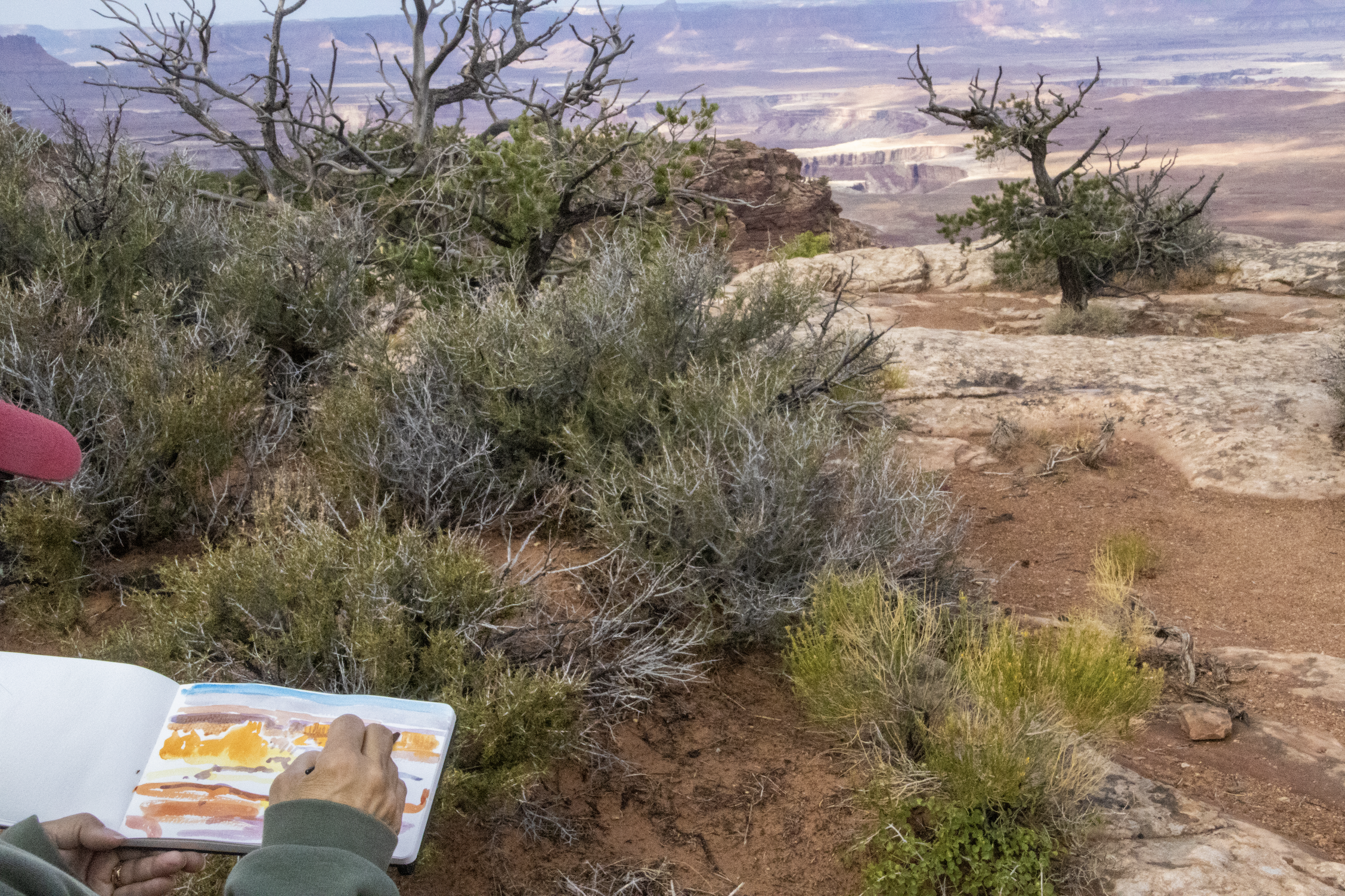
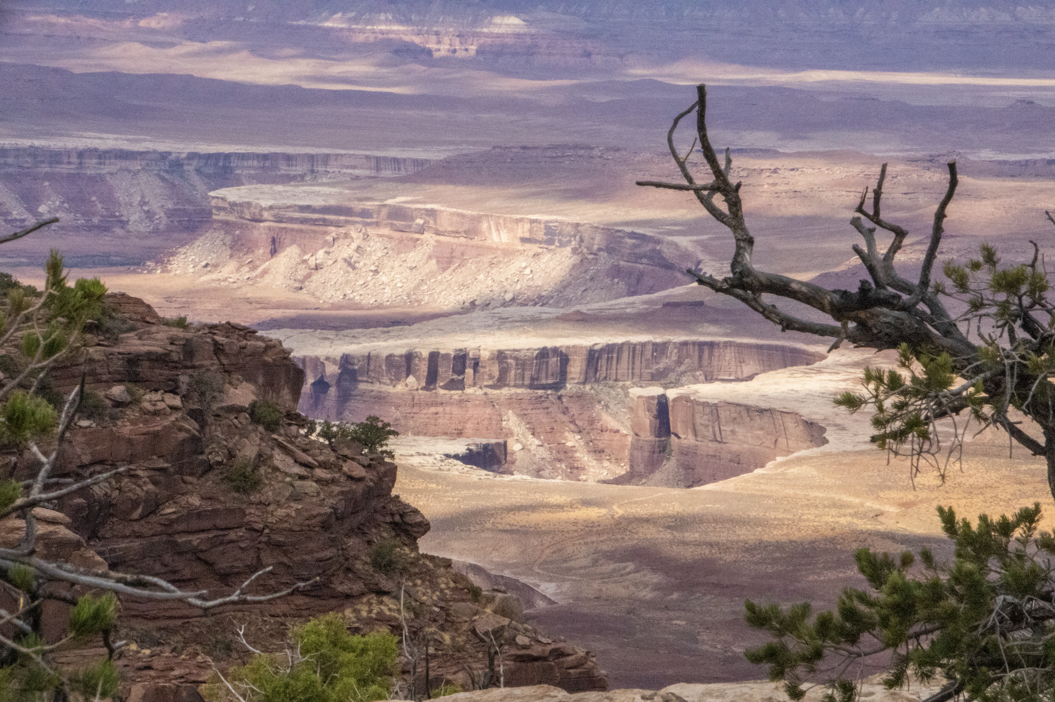
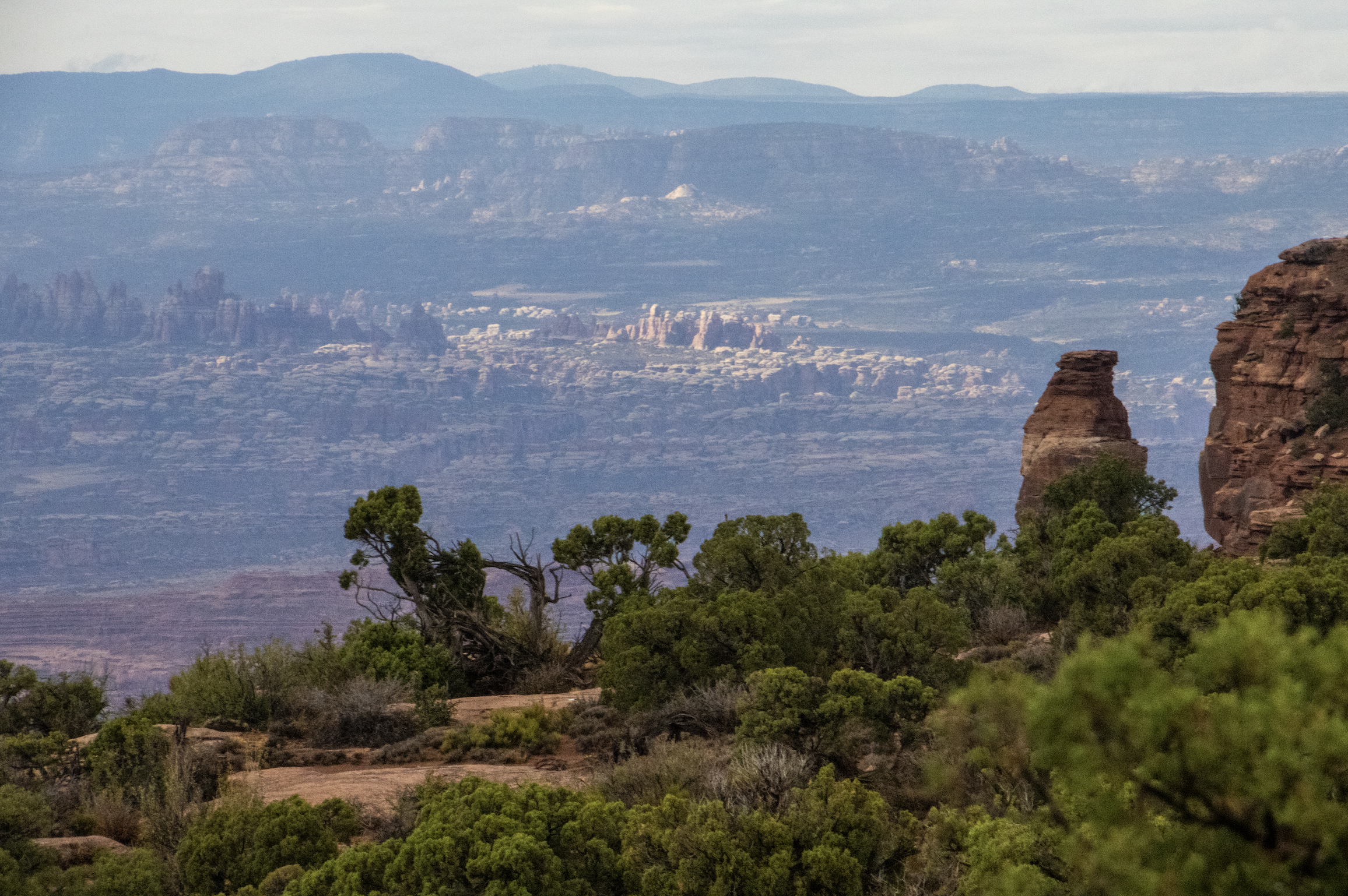
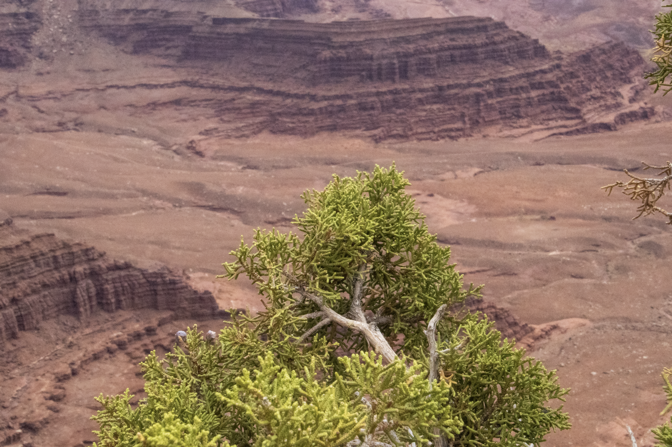
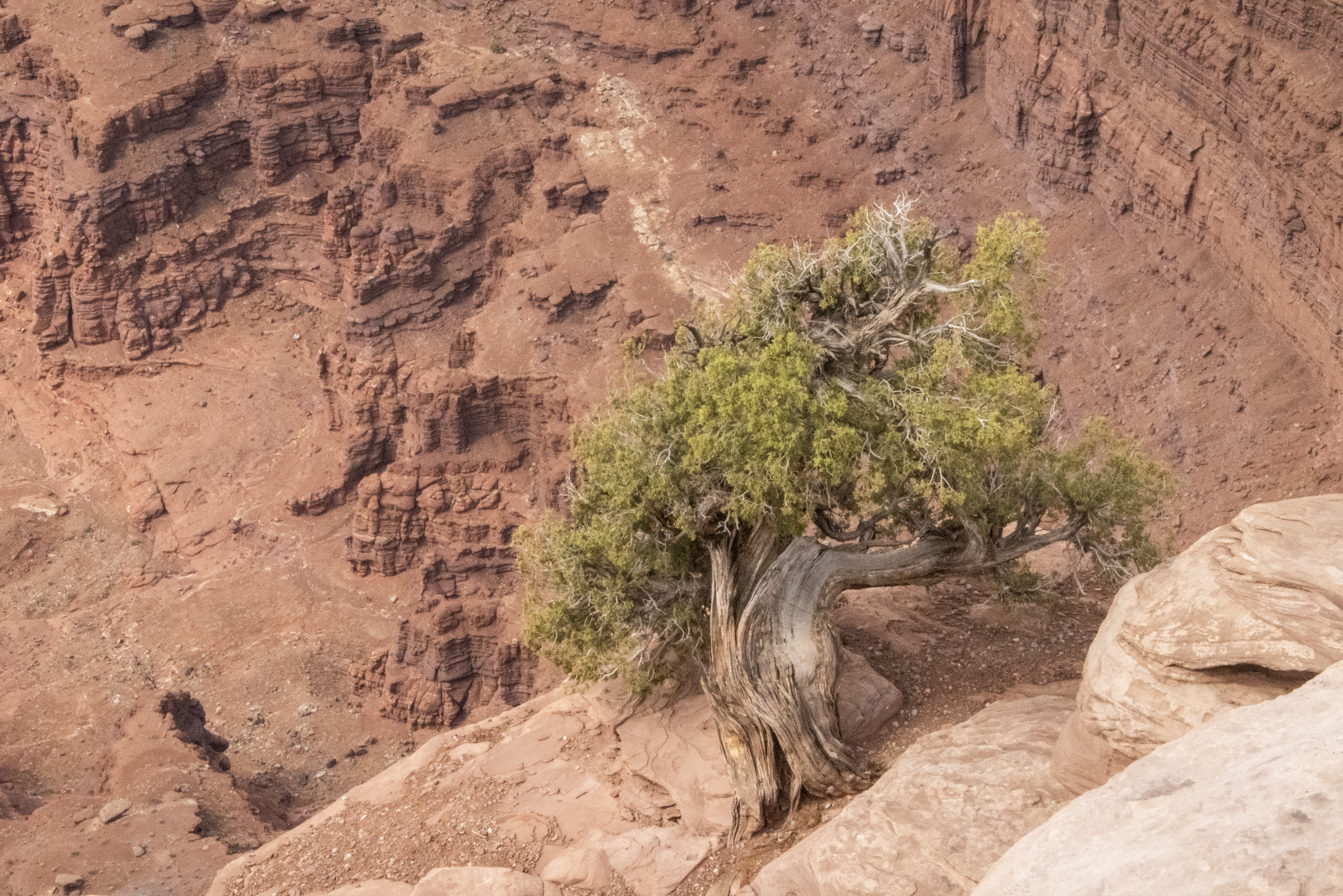
This landscape was a bit frustrating for me, because as incredible as it was, it was impossible to get close to it. It’s very nature was that it could not be viewed from close range, except perhaps with a plane or a drone. So I was relegated to looking at it from a distance, this landscape painfully out of reach. Every centimeter my gaze moved to the right or left revealed entirely different worlds, each changing kaleidoscopically as the shadows of the fast-moving clouds overhead moved slowly across the terrain. Here’s one example of beautiful little spot that changed dramatically with the lighting.
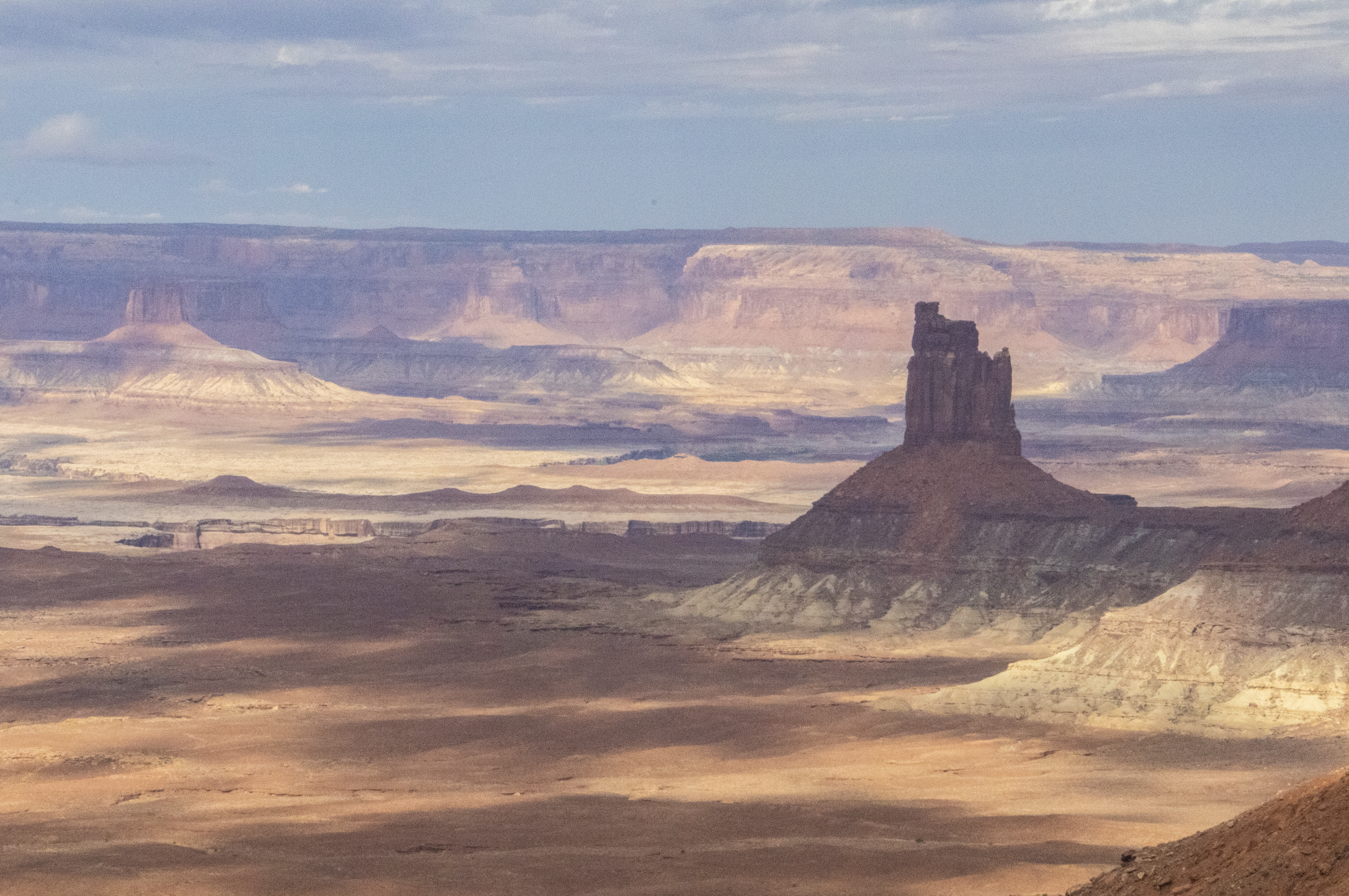
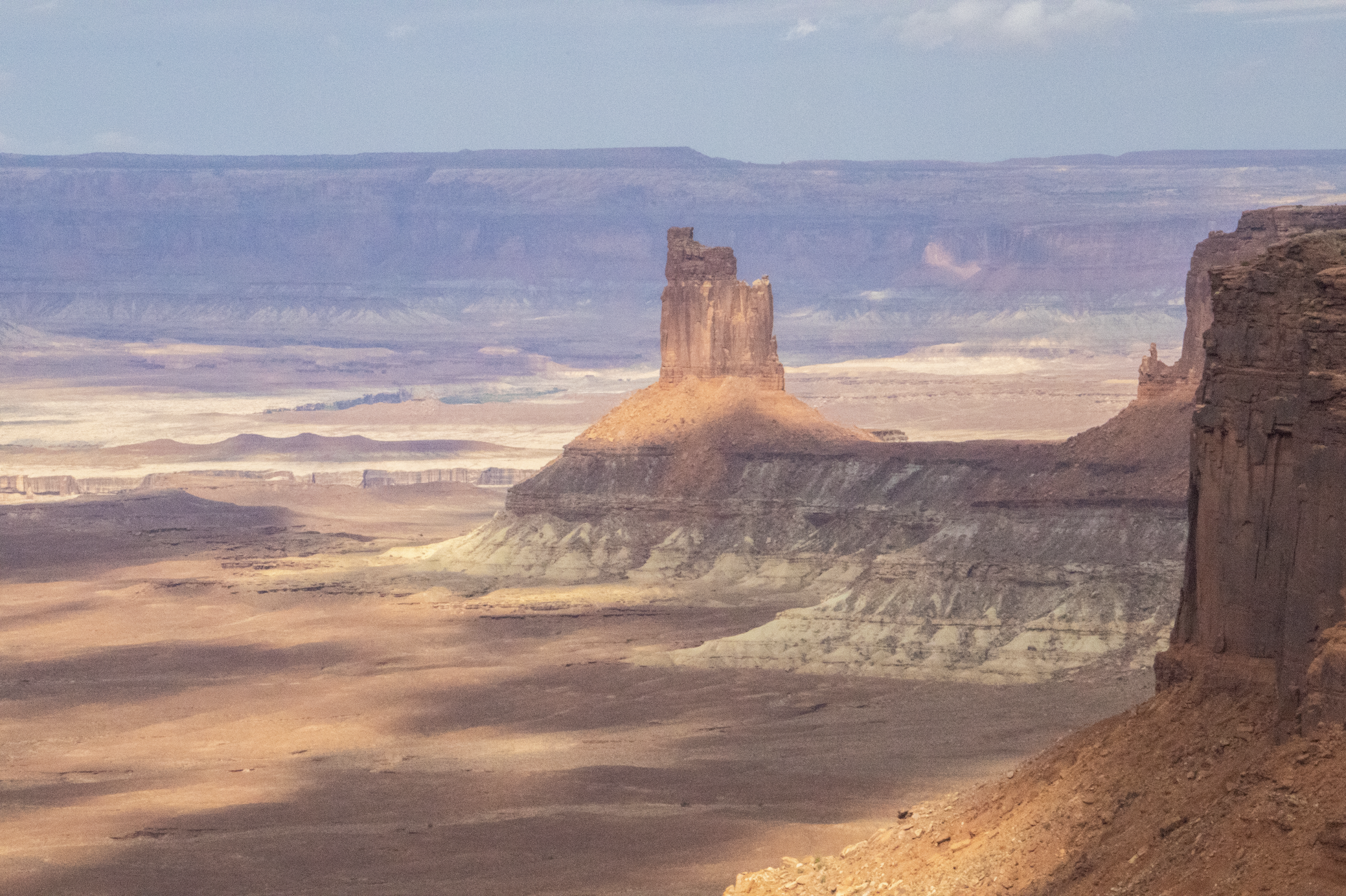
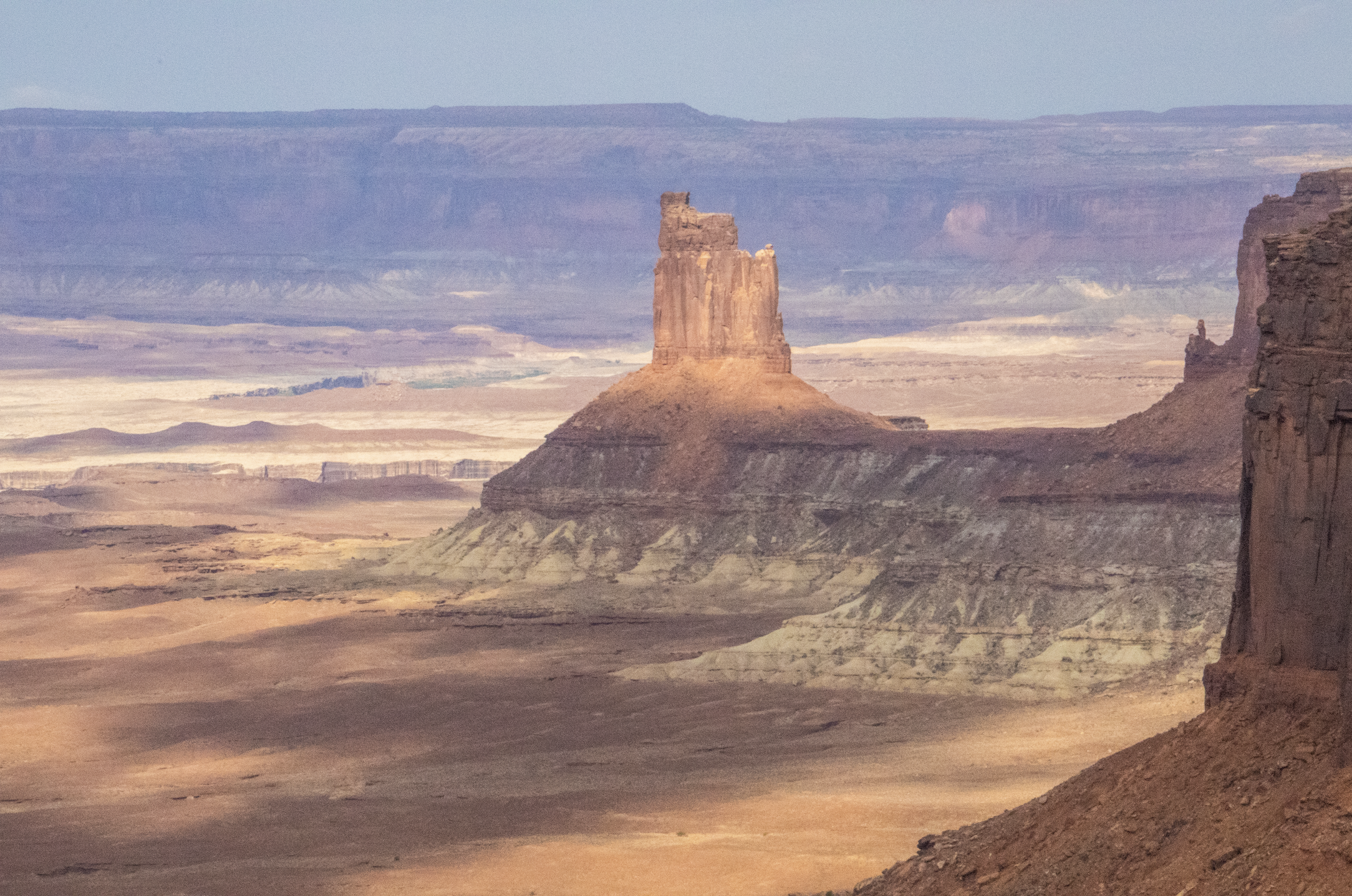
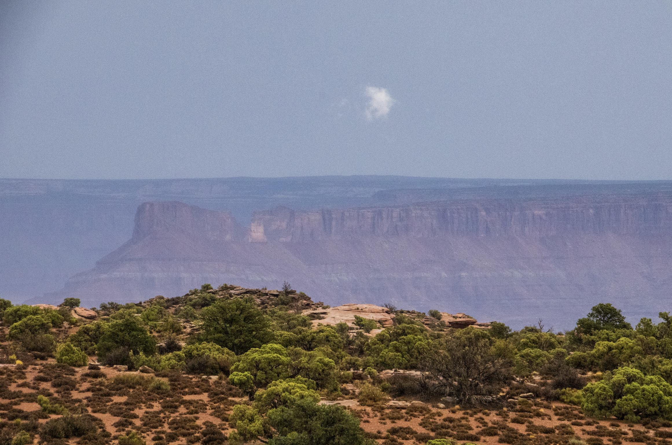
And there were at least 50 little frames just as beautiful as this one anywhere you looked. It left me with an inescapable feeling of frustration that I didn’t have the time to get closer to any of these things… and even if I did have the time, how would I even do that? I’m sure there’s a grizzled outdoorsman out there somewhere that has an answer to that question, but as I wandered around atop the cliffside, through the rocks and shrubs, I did my best to make peace with the fact we aren’t meant to do, see, or know it all. This whole place was starting to feel like a metaphor.


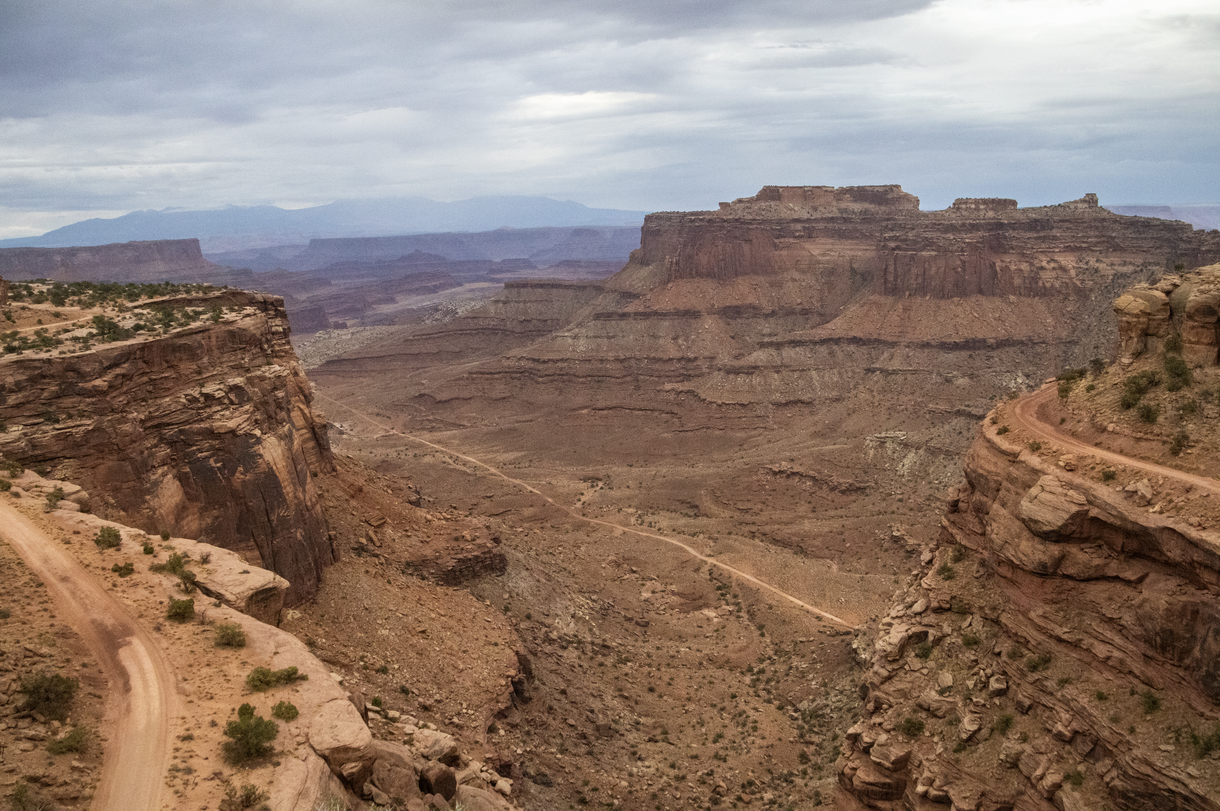
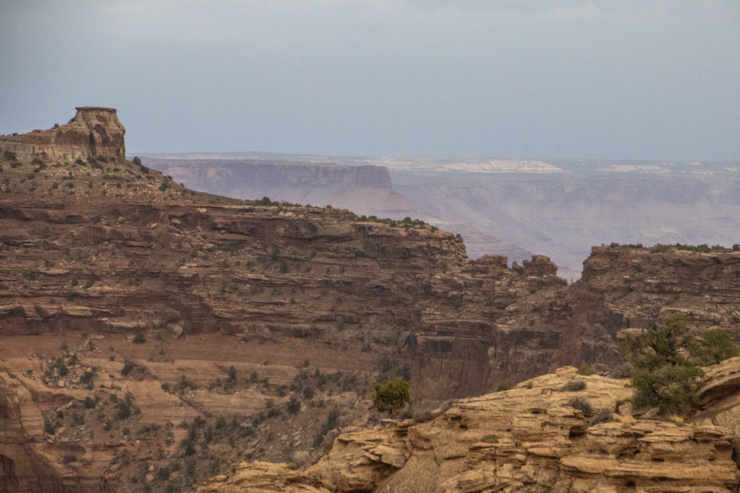
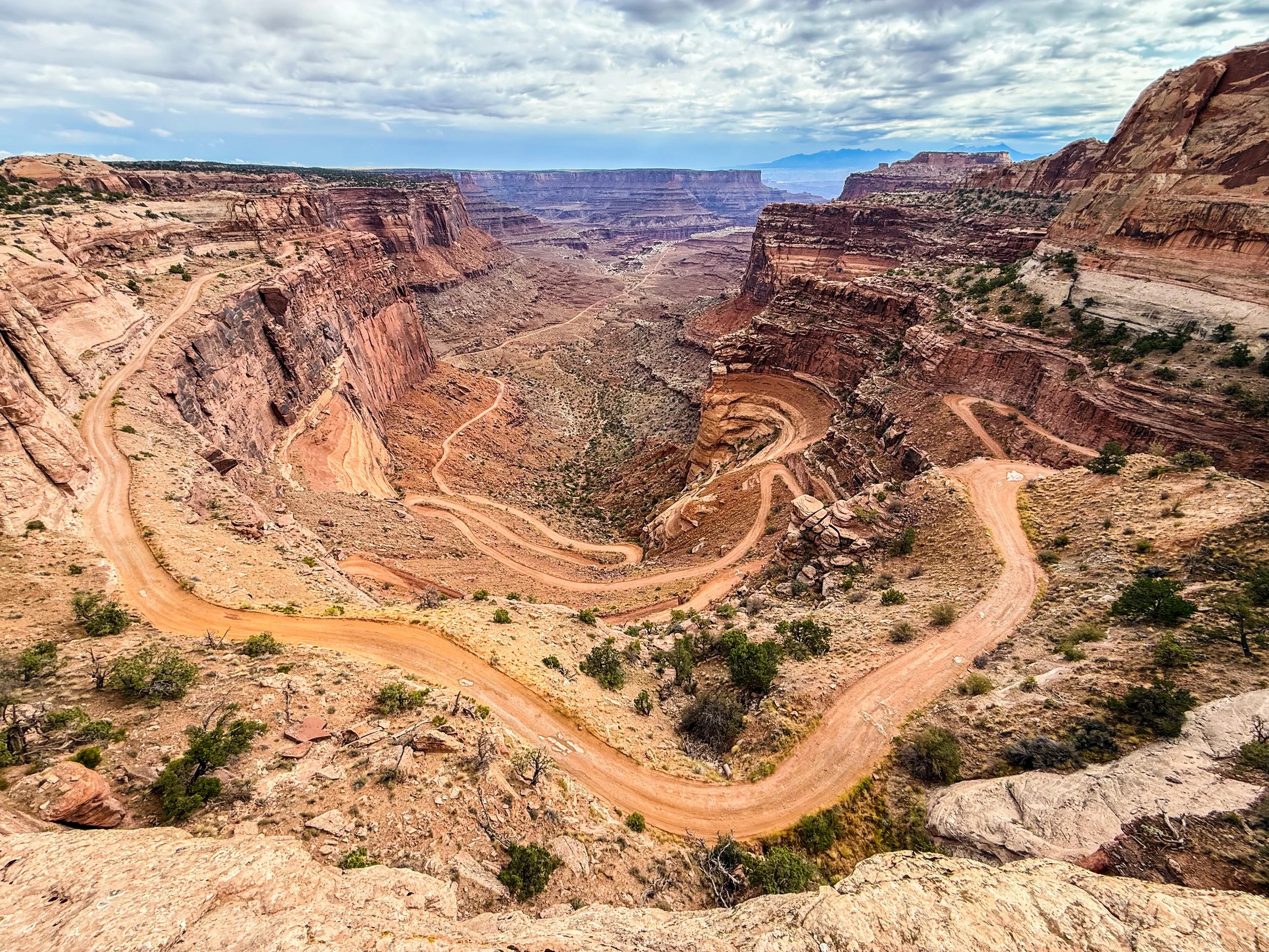
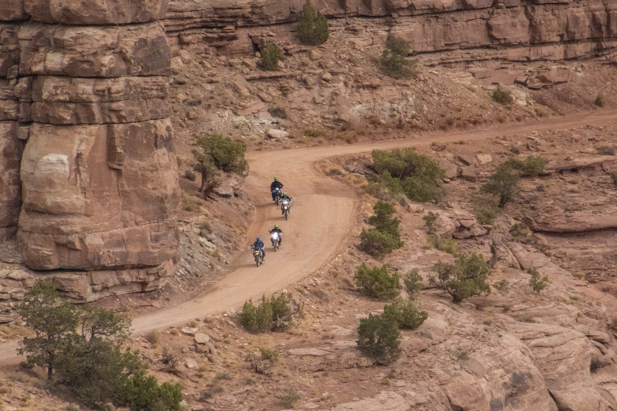
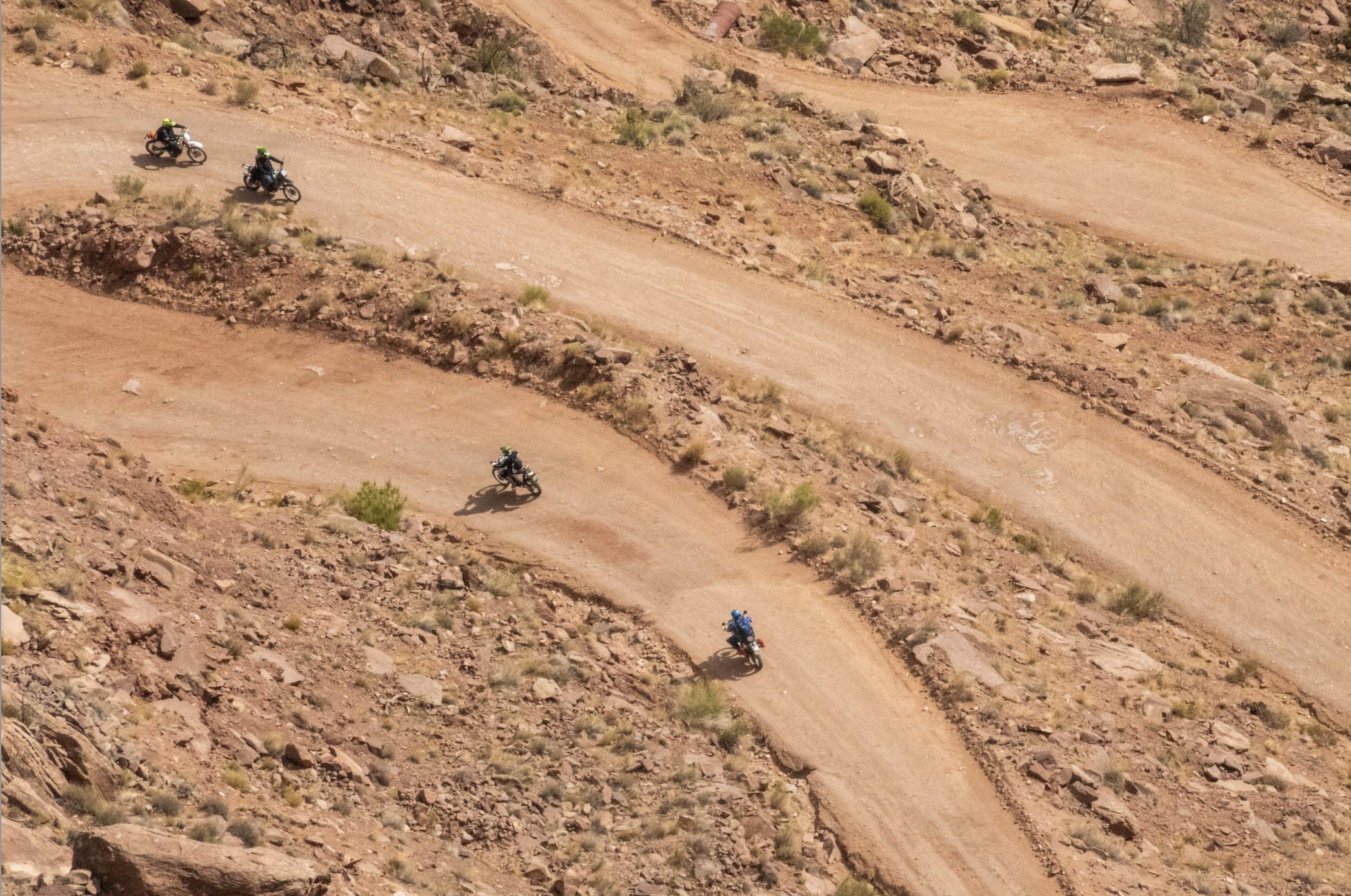
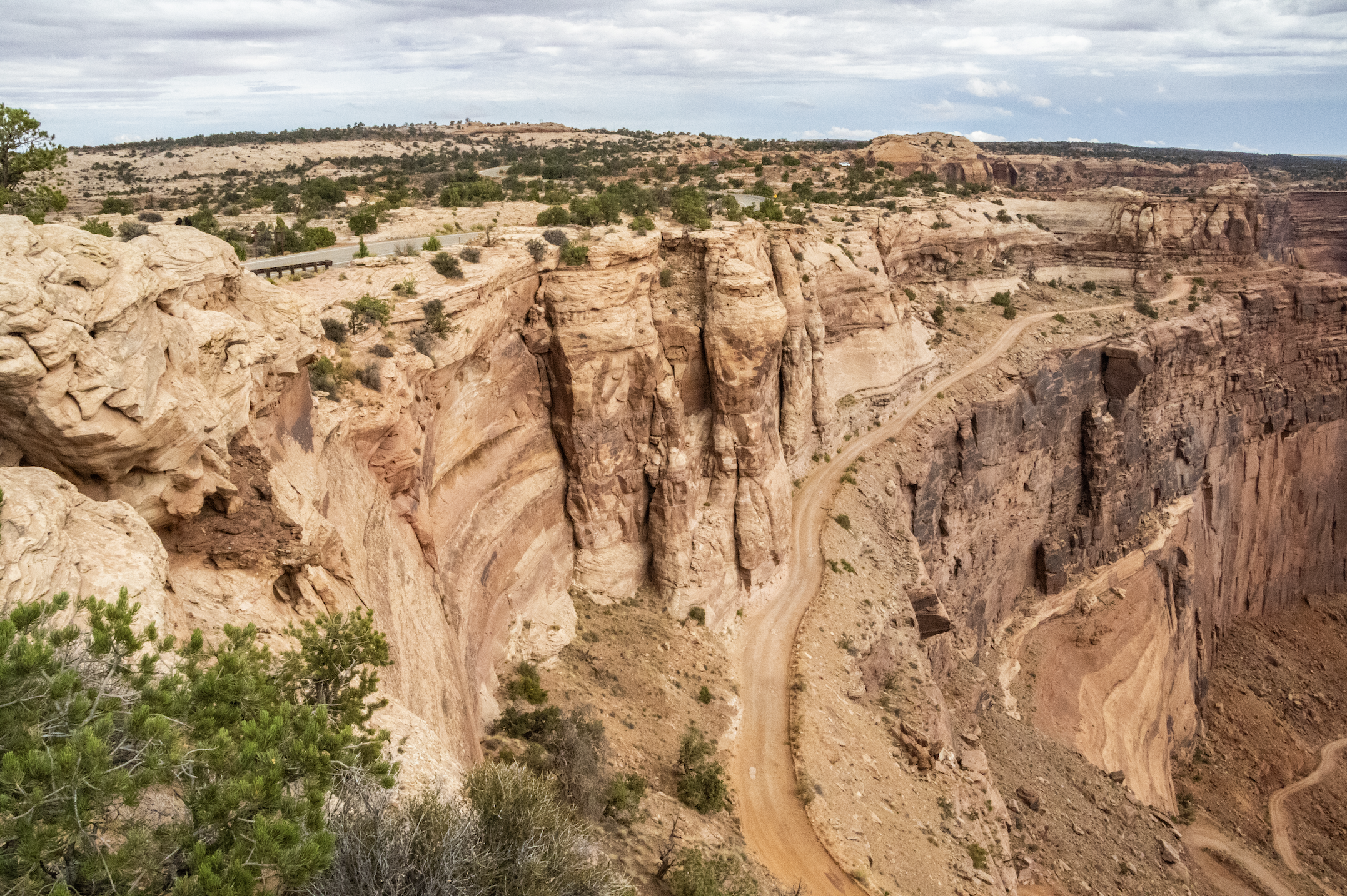
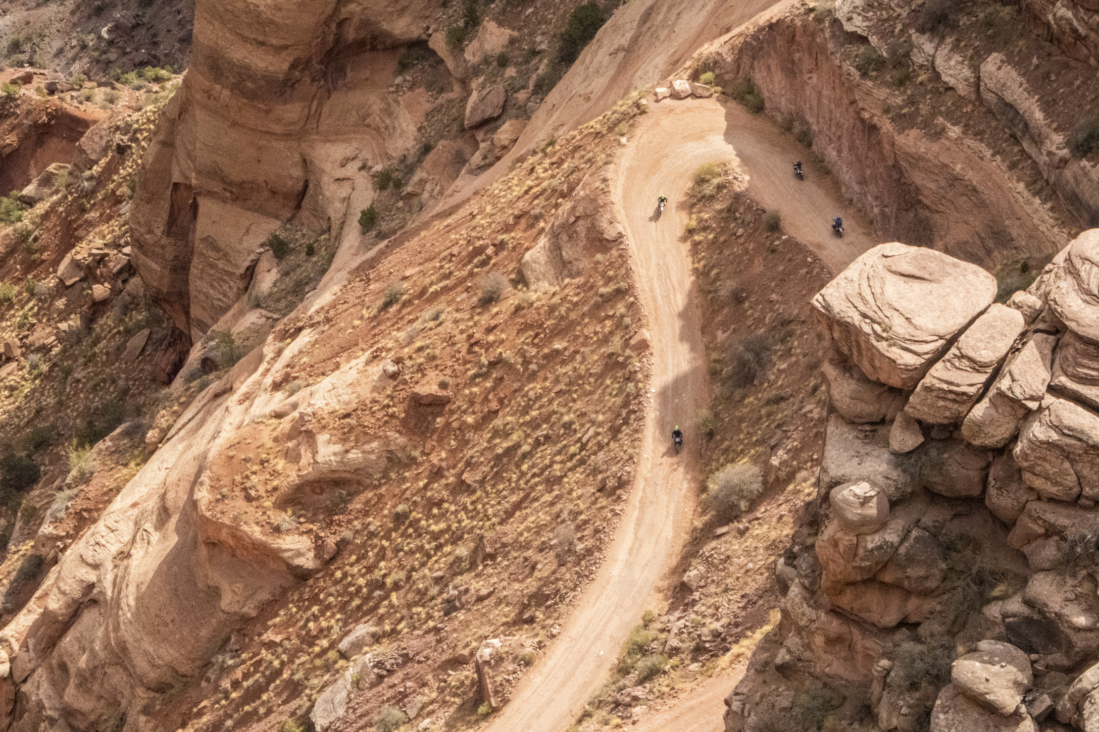
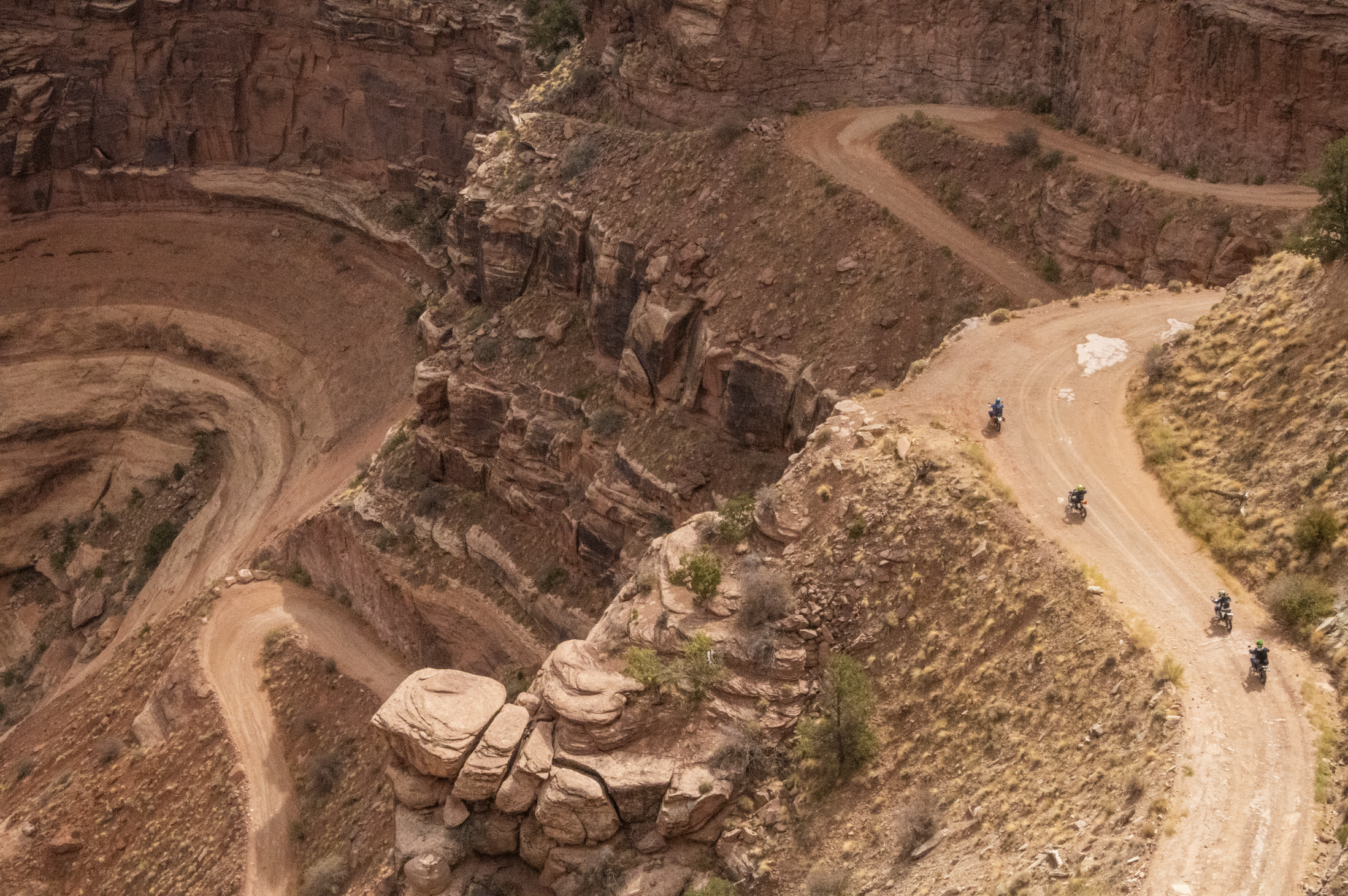
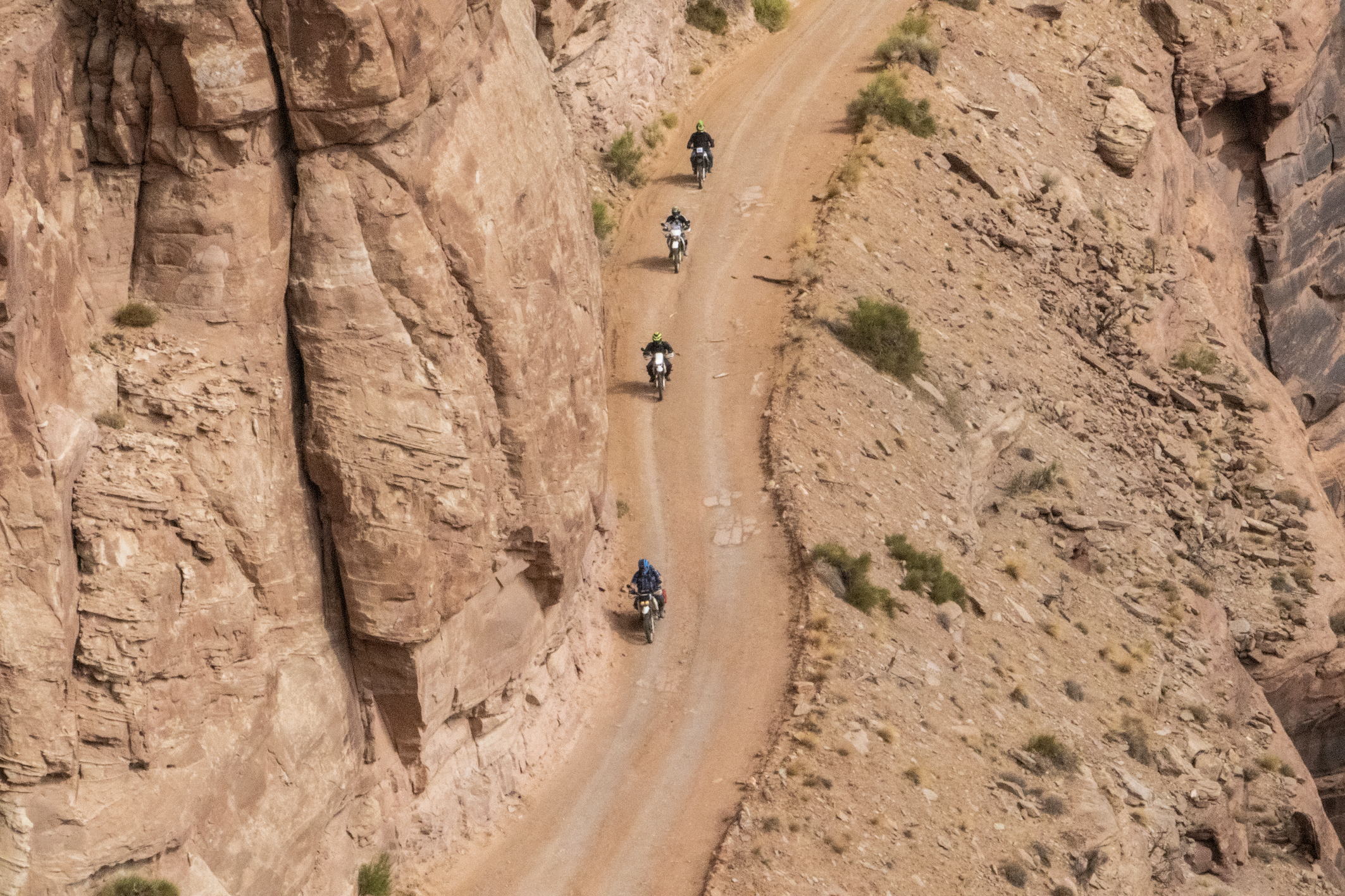
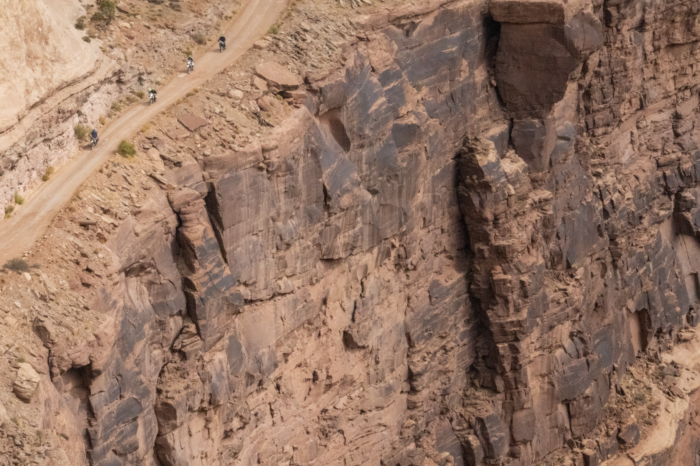
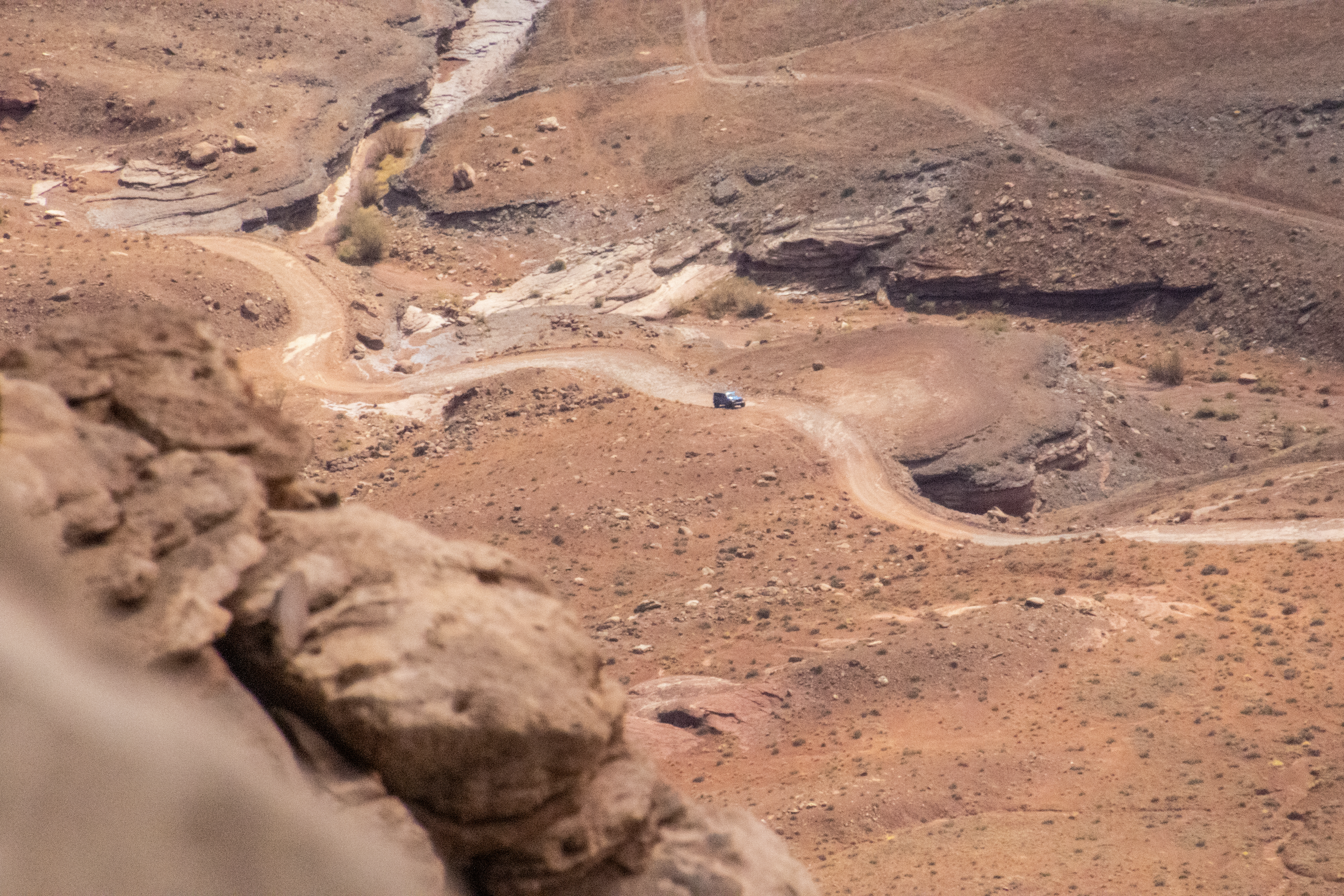
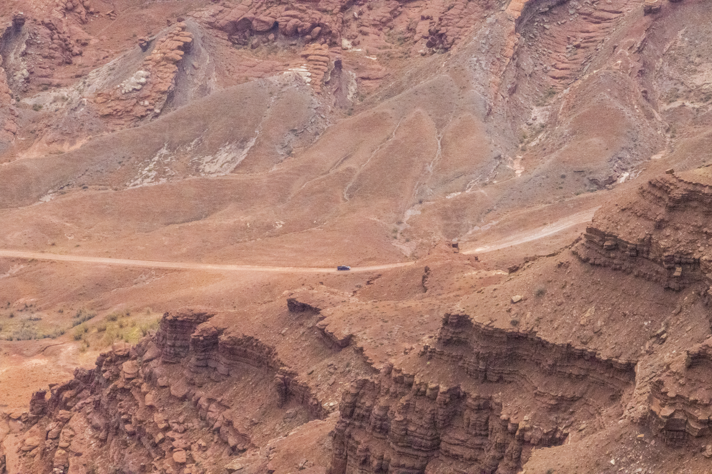
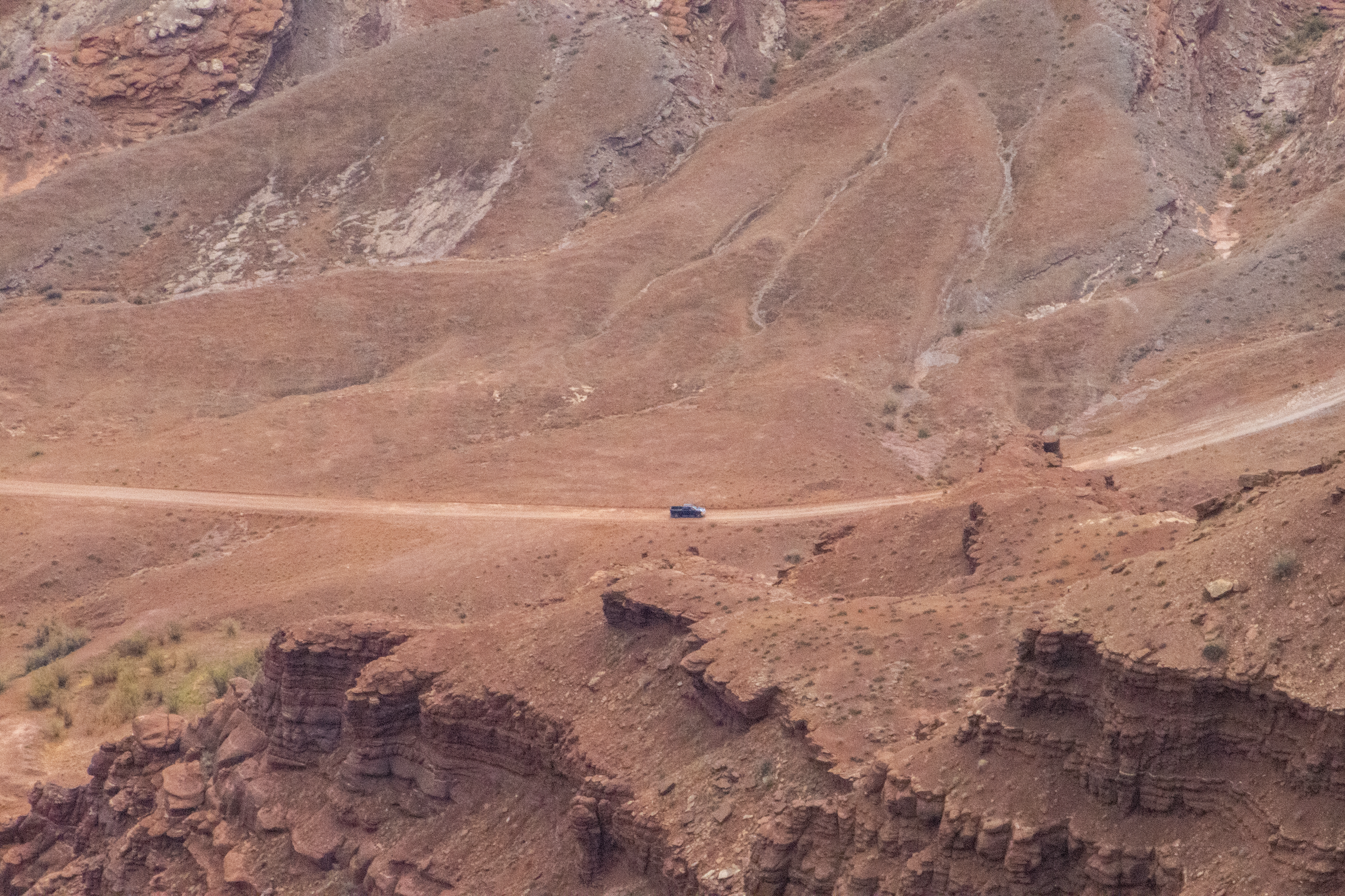
On the drive out, we stopped at one last viewpoint where a dirt road snaked down into the canyon below. We had seen glimpses of these roads on the canyon floor from the ridge; they seemed tiny from far away. But here, a group of Scottish dudes on motorcycles wound their way down into the canyon, occasionally stopping to yell to each other. So, that’s another way to experience Canyonlands for your/our consideration! I would totally do that…
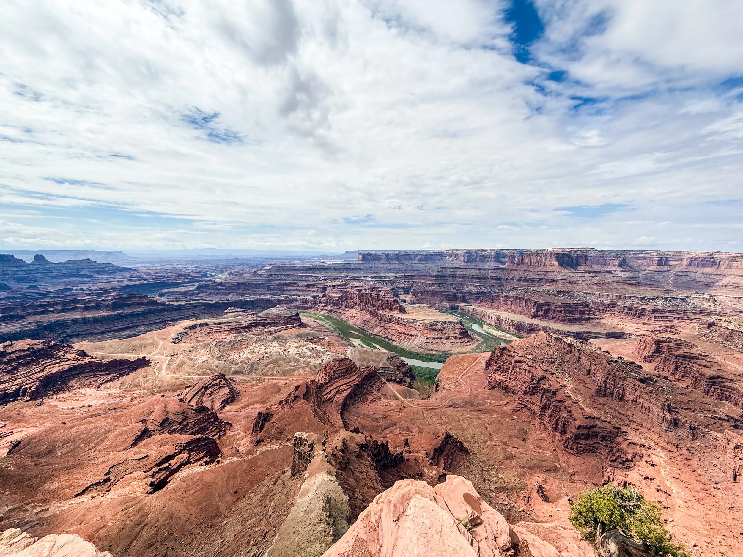
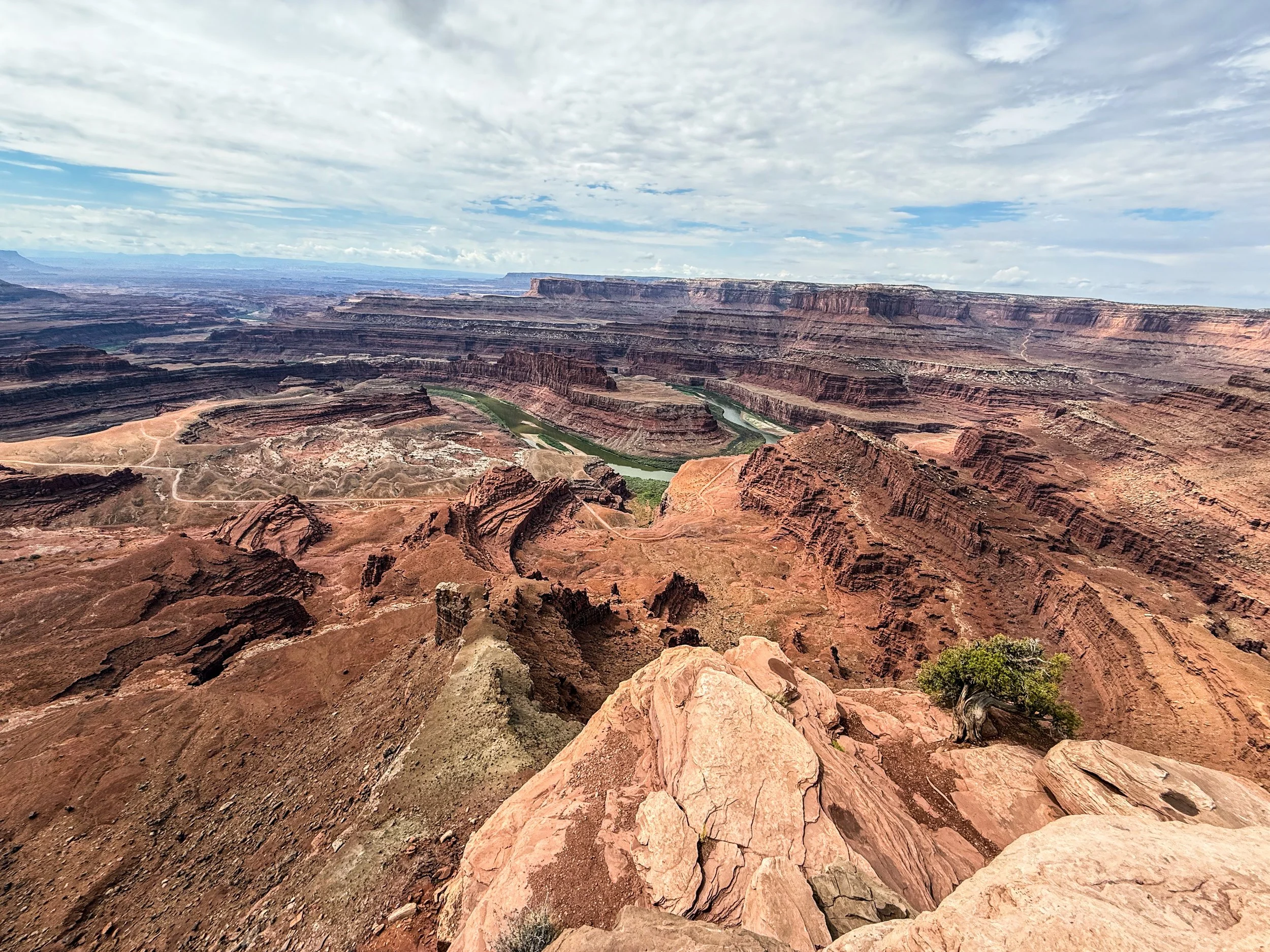
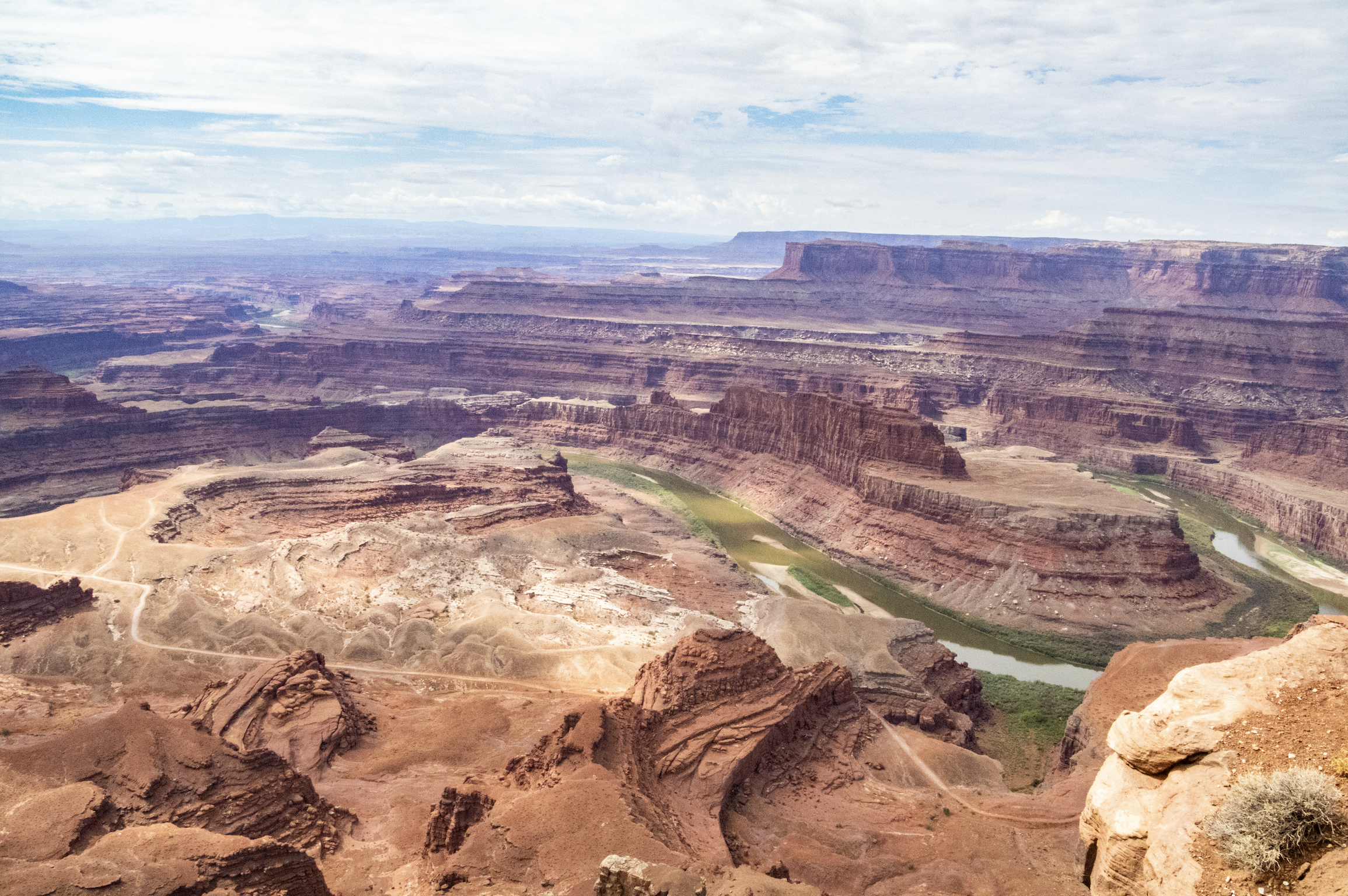
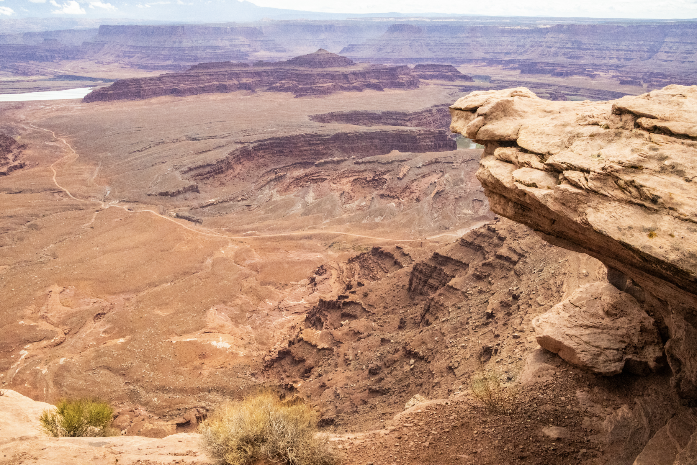
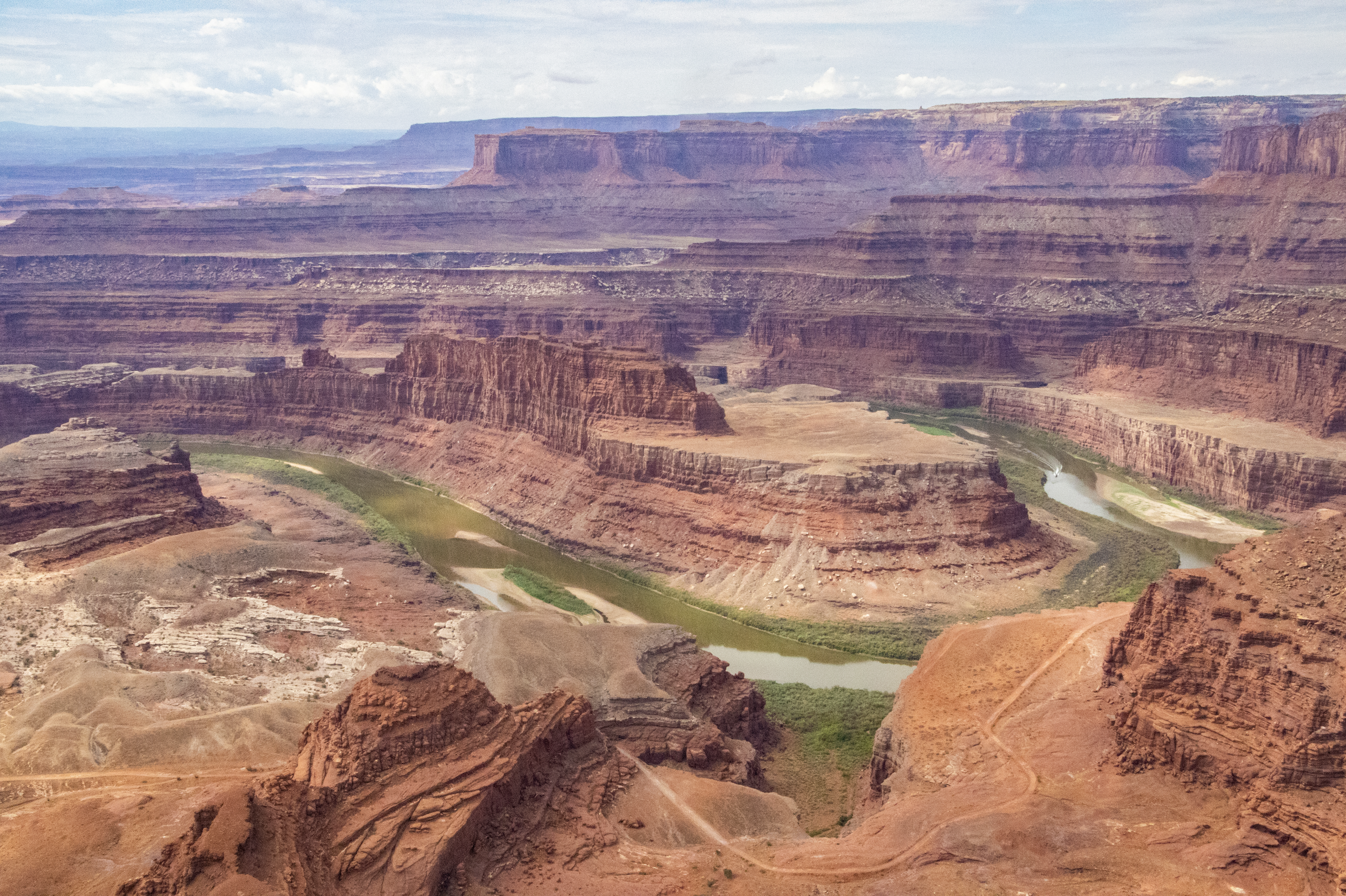
Dead Horse Point
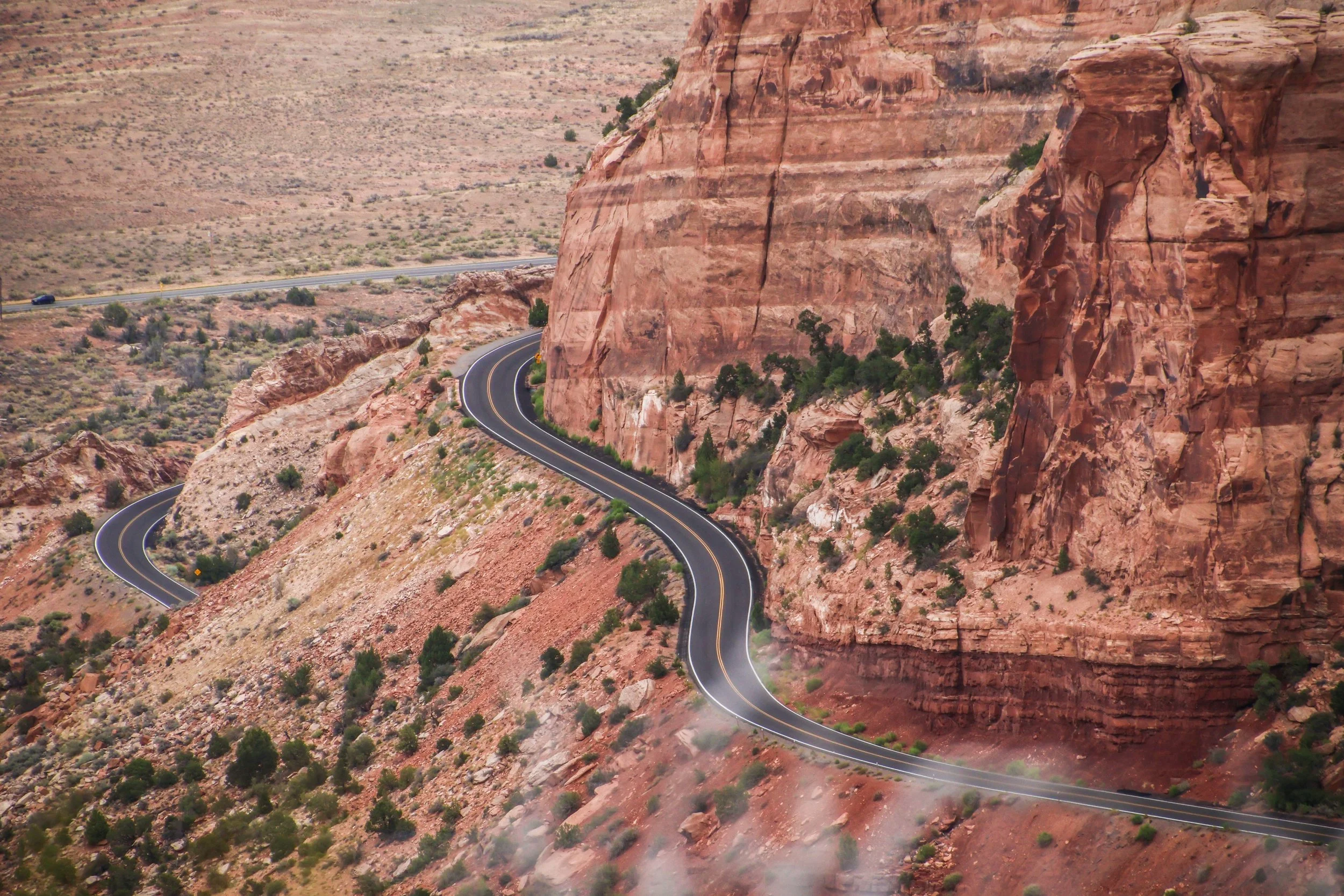
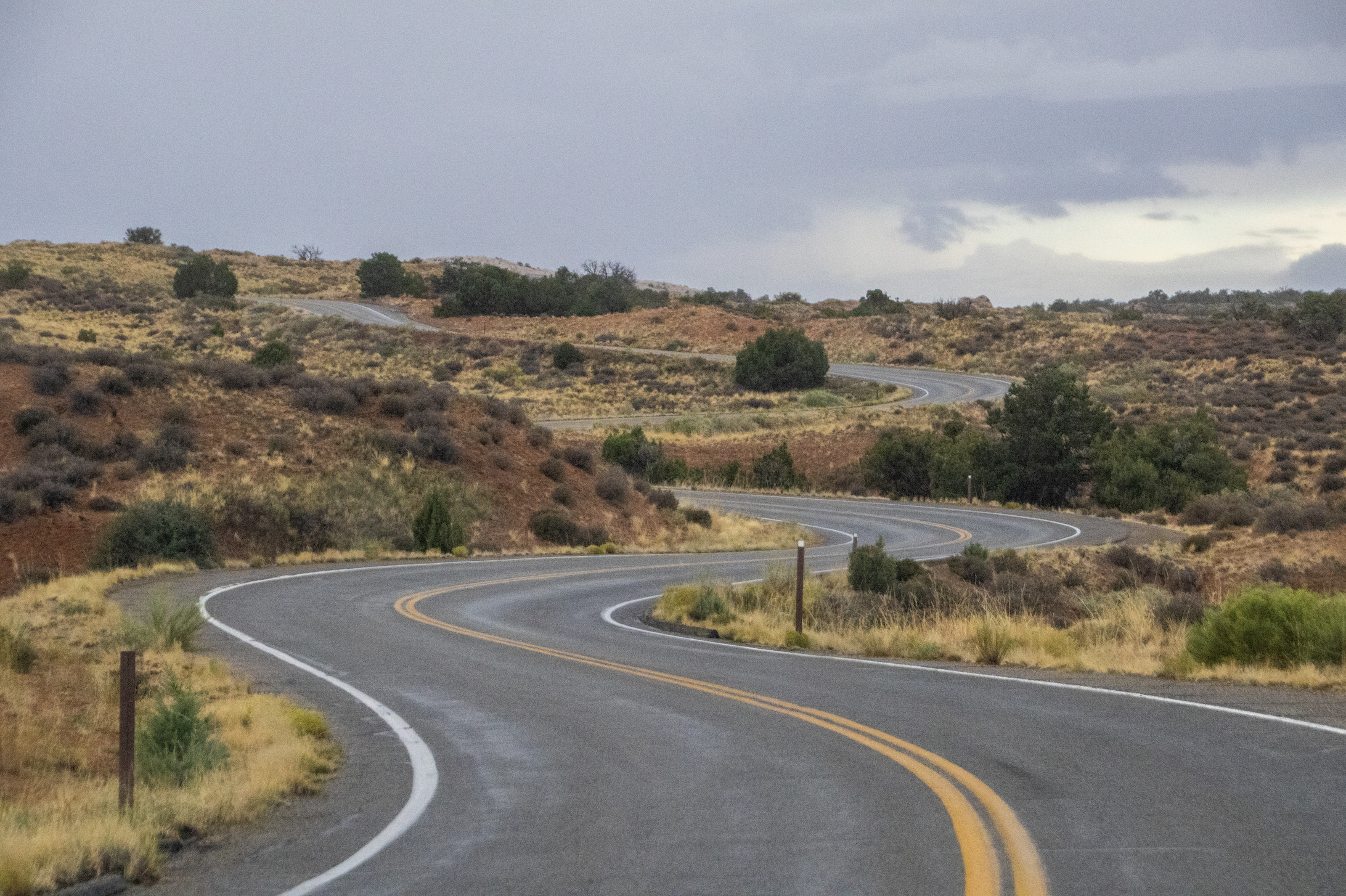
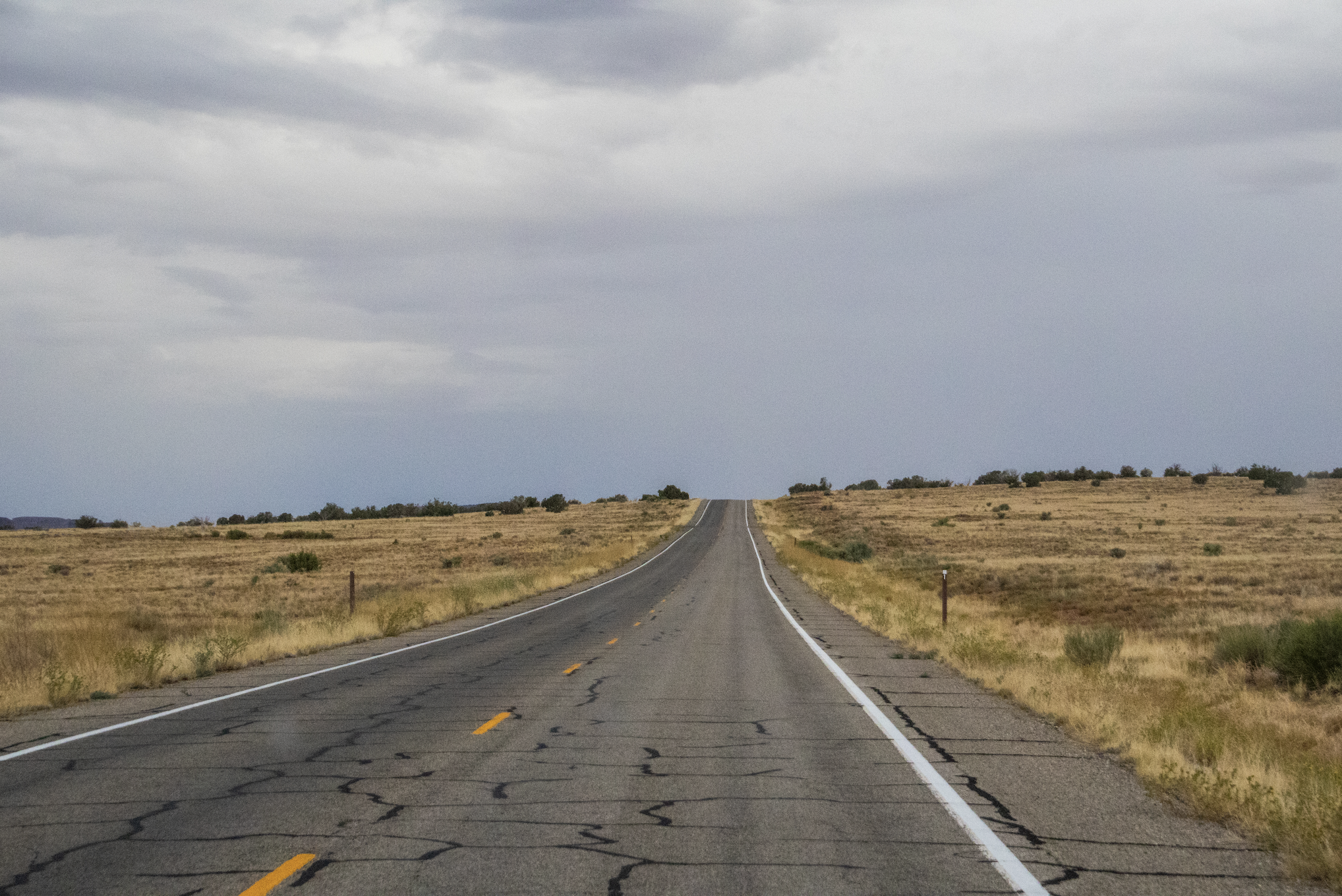
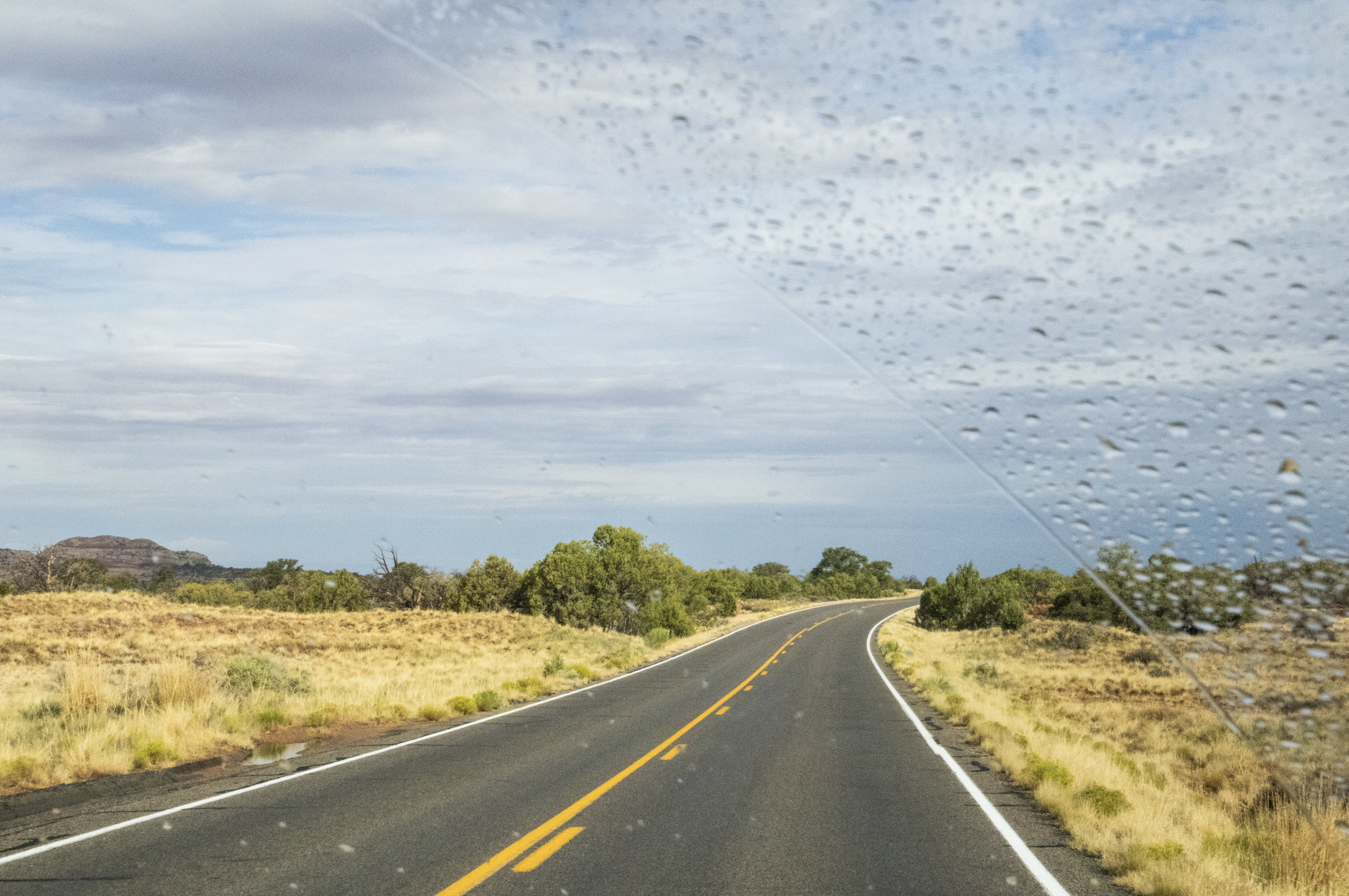
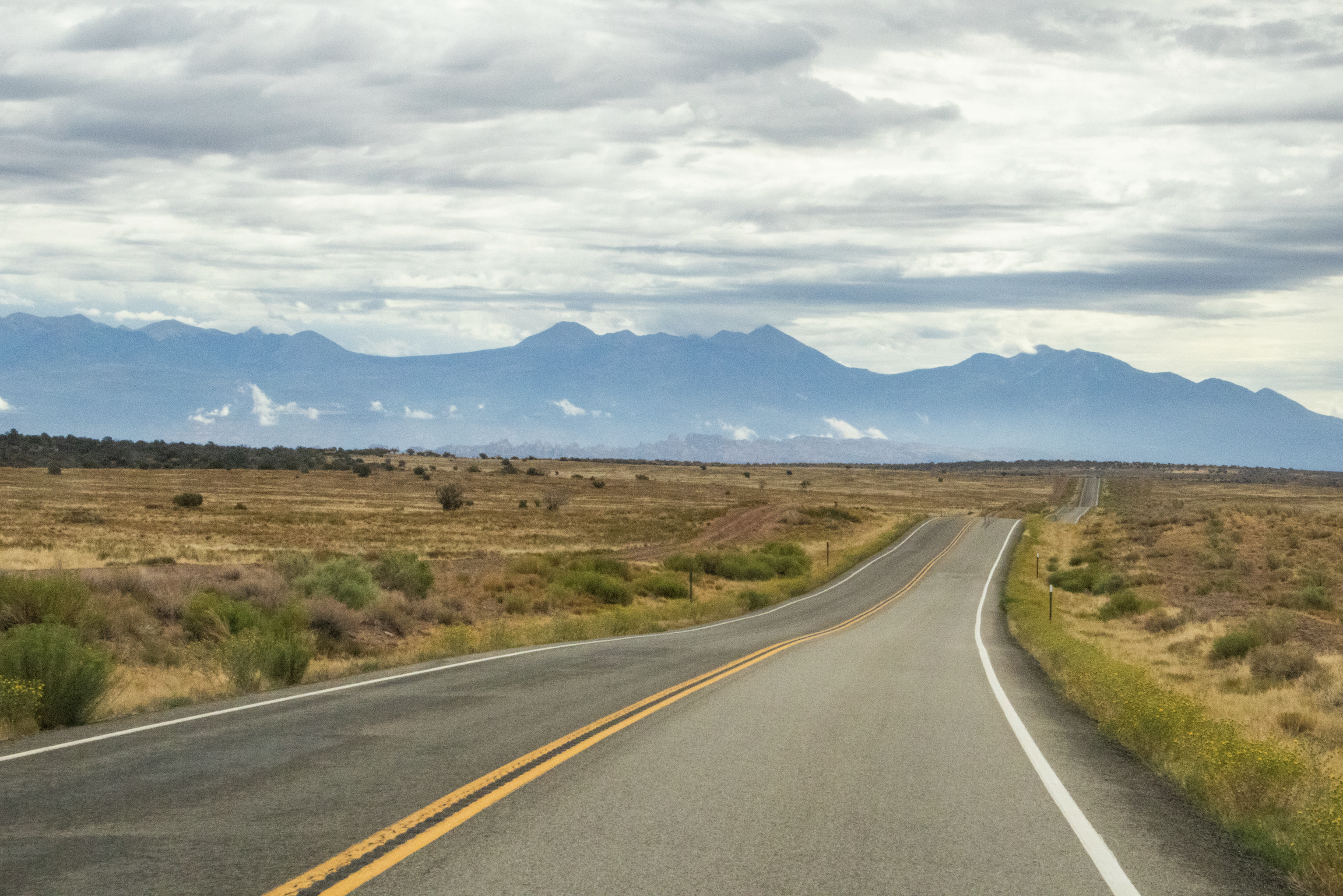
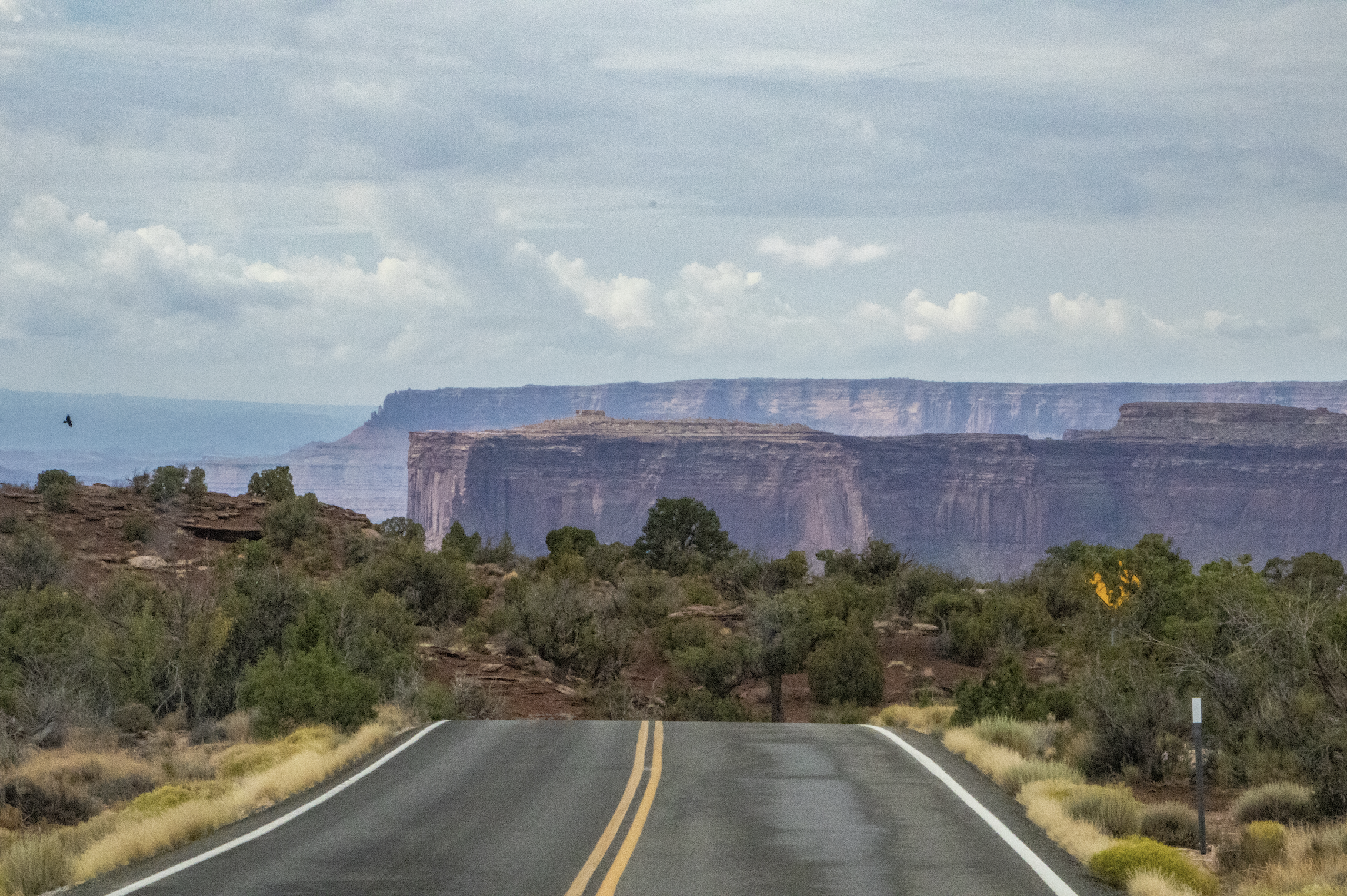
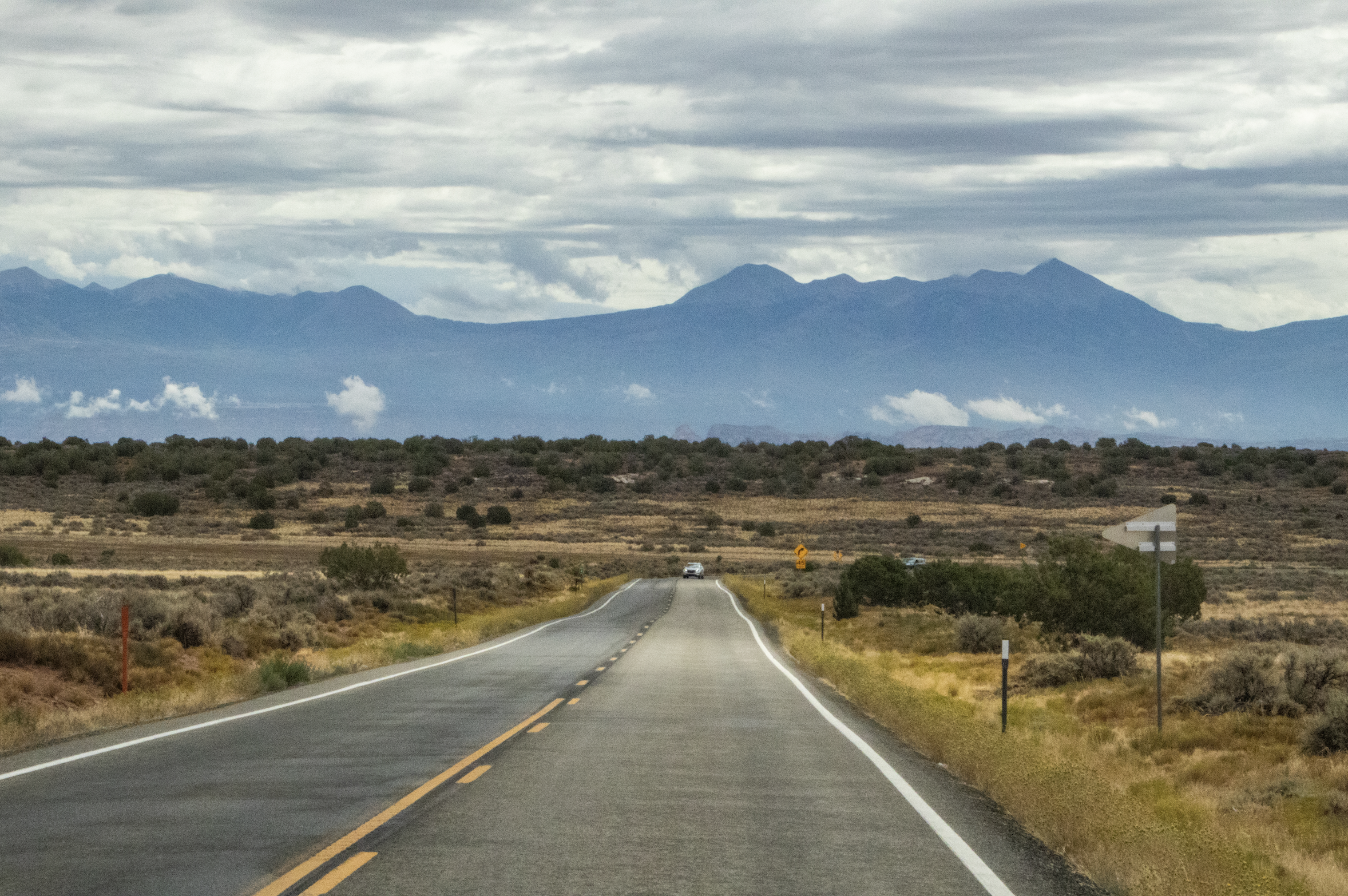
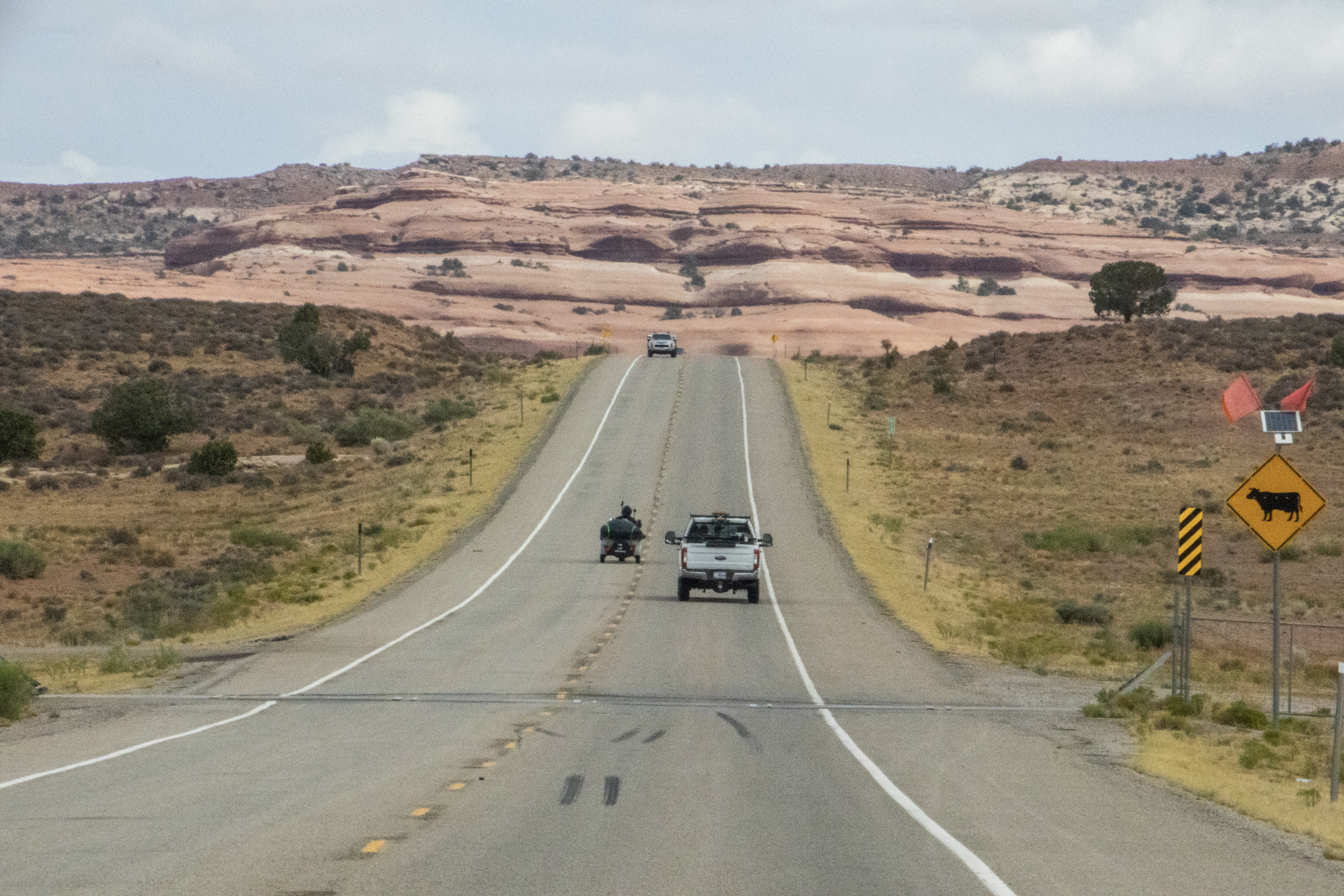
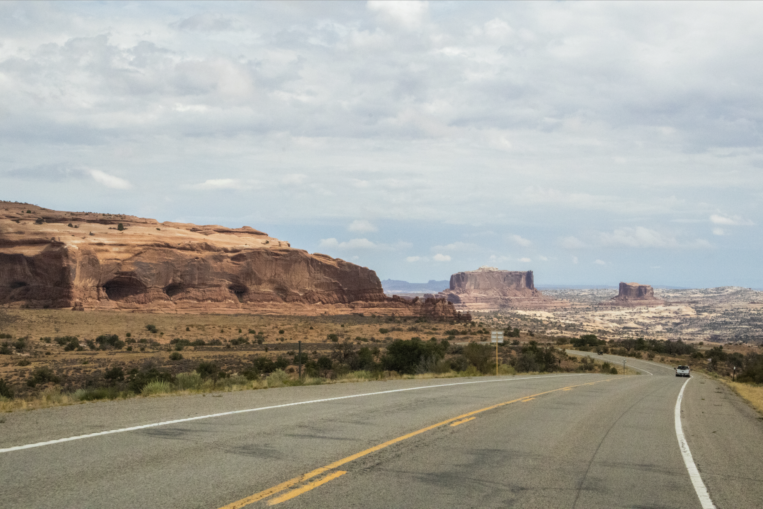
Before we call it a wrap, we’re going to visit a place called Dead Horse Point State Park, which is actually only about 30 minutes away from Canyonlands, sitting right in between it and Arches National Park. On the map you can see that it’s literally just a turn-off on the road from Moab. Here are a few shots of the drive between Canyonlands and Dead Horse as well.

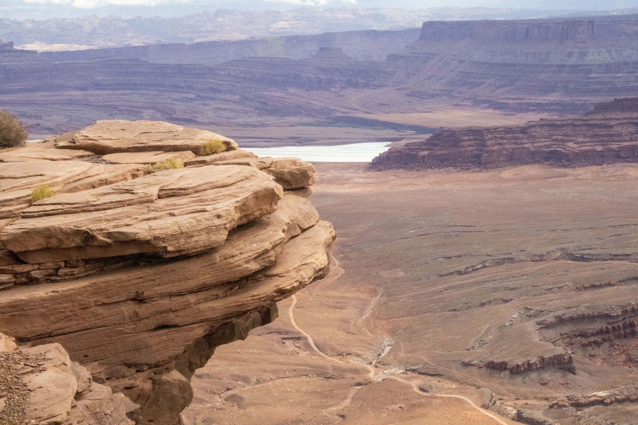
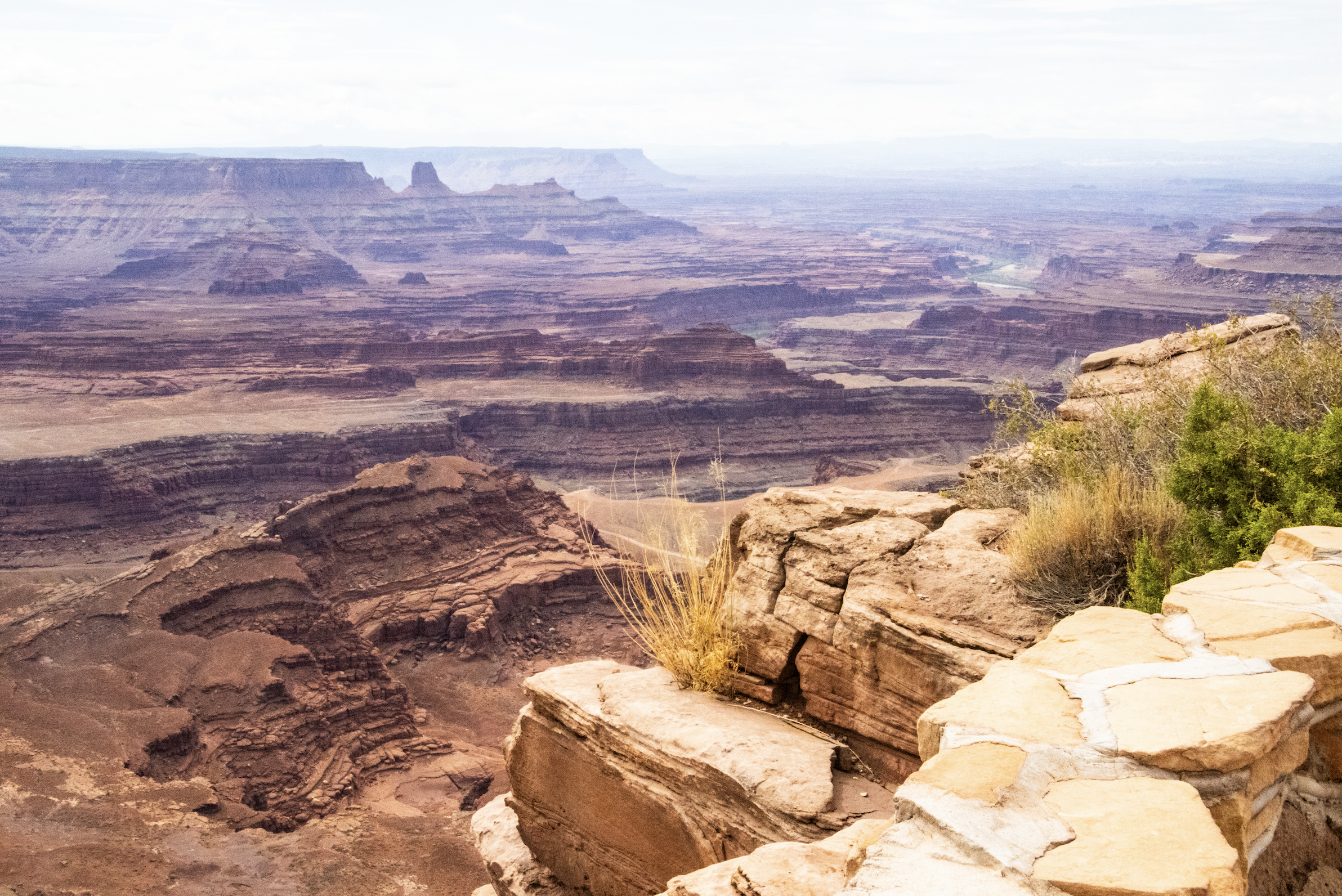
This state park is much smaller than Canyonlands, but its primary viewpoint, “Dead Horse Point”, is actually much more dramatic than anything we saw in Canyonlands. Whereas the beauty of Canyonlands felt painfully yet poetically out of reach, Dead Horse Point has you looking straight over the side of a cliff that runs almost 360 degrees around you, save for a narrow access road. It was not a stretch to imagine how this place may have gotten its name…
The story goes that 1800s cowboys would use the narrow rock bridge leading to this mesa as a natural corral. When they would drive wild mustangs across this choke point, they would find themselves trapped, as they were surrounded by sheer 2,000 foot (~610m) cliffs on every side. From there, it was relatively easy for the cowboys to round-up whichever horses they saw fit. However, those horses not selected for cowboy captivity apparently struggled to find their way back off this remote mesa, and—unable to access the river flowing below—would supposedly die of thirst up here. This is a bit of a myth, but early settlers really did find the skeletons of horses up here when they first arrived. So, you can draw your own conclusions. 🤷🏻♂️
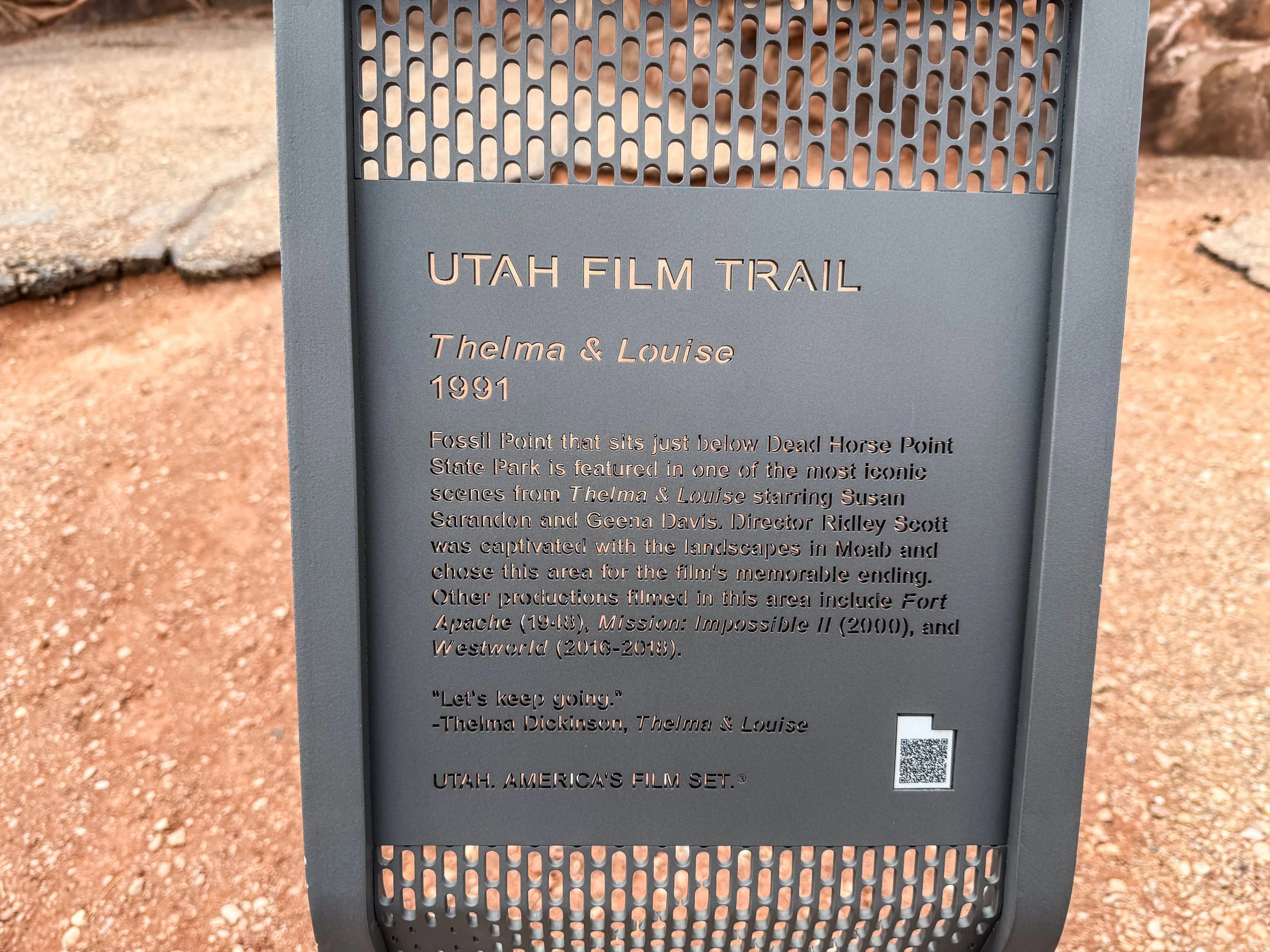
Near the parking lot, there is a plaque denoting that parts of the 1991 film Thelma & Louise were filmed here. To be honest, I’d never heard of this film, but it’s got a star-studded cast and won a few awards when it came out. I’m adding it to the list.
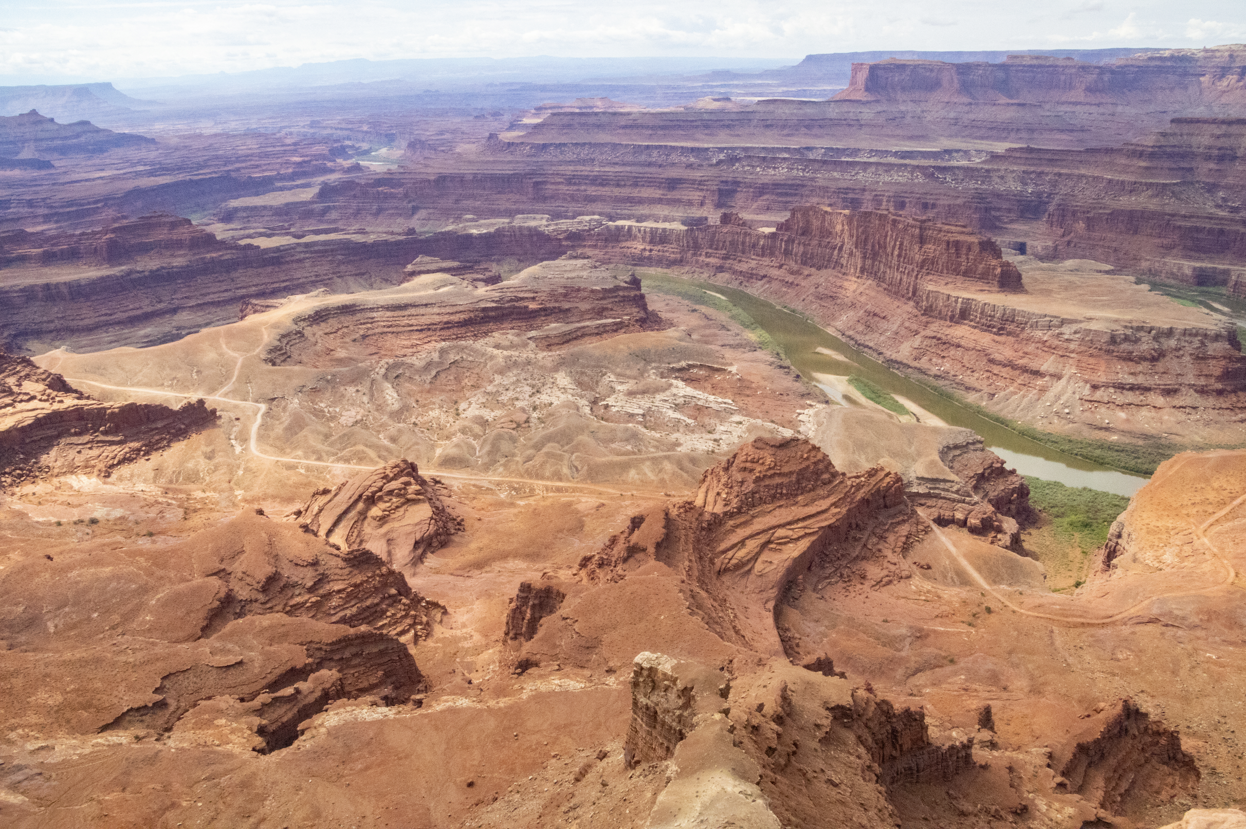
Anyway, let me now share the actual photos from Dead Horse Point, as they are quite dramatic. It's the Colorado River that flows through the bottom of this canyon, and—as you would have seen on the topographical relief map above—the over the edge of Dead Horse Point, there is a view of a dramatic gooseneck formation where the slithering of the river gets particularly bendy. Between this, Canyonlands, and the Grand Canyon, I am suddenly very interested in doing a canoe trip down the Colorado River, all the way to its mouth in Gulf of California (Mexico). I love seeing how the banks of the river are lined with a miniature green forest, even in the midst this colossal desert. That would be a very cool future trip idea. 🤔


That does it for this series on the American West! I was lucky to travel through this region a lot as kid (thanks Dad!), so I’ve seen more of this part of the world than I deserve credit for. However, coming back here as an adult, I appreciate it a lot more. It’s hard to leave this region without, at some point, contemplating the idea of just driving around out here for 6 months of exploring. But alas, that is what I must do: leave.
I’ll be back out here again of course, but for now, I’m it’s time to jet off to New York City. And I don’t just mean that the next article is in New York City; I literally went straight from here to there. Very different places; it was an annoying trip to pack for. 😂