
It’s a bit surreal for me, but I’ve actually spent a fair bit of time in Türkiye now. This was my 3rd visit to Türkiye and—before we get the article you’re reading now—I’d published 8 articles on it up to this point! That probably makes me sound like I was already well on my way to being an expert on travel through Türkiye, but there was a problem: I’d only ever been to Istanbul. And yes, Istanbul really is THAT amazing and gigantic that there was plenty of material to write 8 articles about… but now that well is probably dry for a lil’ while.
Today, we’ll be exploring the ancient towns of Cappadocia (or, in Turkish, Kapadokya). This will be a long one too, so buckle up!
A Cultural Introduction to Cappadocia
Cappadocia has a well-deserved reputation as a destination defined by its natural beauty. We’ll focus on that dimension of Cappadocia in the next article, but before we get to any of that, I have to show you some of the ancient towns of this region, because they are absolutely otherworldly. Some of them literally look like scenes out of sci-fi novels set on alien planets. So, we’ll start this two-part series with a cultural tour!
Türkiye is a bit weird because—in a region of the world where national identities largely correspond to ethnic identities that are often millennia old—the Turks haven’t actually been in what is now Türkiye all that long. They were external invaders that arrived in the late 11th century, so when you talk about the history of Türkiye, you don’t have to go back all that far before you are no longer talking about Turkish people. Before this, Cappadocia had already passed through several thousand years of Anatolian, Persian, Hellenistic (Greek), Roman and Byzantine civilization. In this part of the world, history goes back a LONG way; long enough that the placing of “year 0” starts to feel a bit arbitrary and unhelpful. Indeed, there are prehistoric sites in Anatolia that date back to almost 10,000 BCE.
Tangent: There’s an old Louis CK bit where he talks about how “the Christians won.” Ironically, the modern American church has a bit of a victim complex and likes to view itself as being a persecuted minority group. To rebut this, he asks the crowd simply “WHAT YEAR IS IT?” Hopefully this joke needs no further explanation. Maybe it’s just me, but I think that a side effect of this arbitrary bifurcation of history is that I think a lot less about ancient times than I’d like. Setting year “0” so close to the modern day really leaves the majority of human existence in an obscure appendix of the history books. And, given that an AI-driven dystopian future is now (allegedly) a real possibility in the next couple of years, 2,026 feels like far too small a number! If we’d started counting from the actual dawn of civilization, we’d be at something closer to the year 12,026. THAT feels more accurate, and FAR more appropriate for the AI-apocalypse. And that would be a much more useful paradigm when talking about the history of places like Anatolia, where if you look at history as a progress bar, where the present day is “100%”, the Turks only arrived around the 90% mark. If you want to jump further down this rabbit hole, here’s a cool video from Kurzgesagt. Look out for a few Turkish words in here! Thank you for bearing with me through this tangent. Now back to the article.
ANYWAY, a bit of housekeeping: I realized in writing this article that I was a bit fuzzy on what the word “Anatolian” actually means. I’ll admit it! So, here’s a quick clarification: while the region known as “Anatolia” has basically the same boundaries as modern day Türkiye, the name “Türkiye” is derived from Turkish ethnic and cultural identity. Anatolia had been a hotbed of civilization for eons before the Turks showed up. To give a few examples, people groups such as the Hittites, Luwians, Phrygians, Lydians, Romans—and, approaching groups more relevant to the 21st century now—Persians, Greeks, Armenians, and Kurds ALL fall under the “Anatolian” umbrella, in part or in full. That’s why you’ll hear historians say things like “ancient Anatolian civilizations” rather than “ancient Turkish civilizations.” The Turks are the new kids on the block.
I want to underline this fact up front because much of what we’ll be seeing today did not originate with the Turks, but was in fact adopted by them. Of course, they’ve been here for centuries now and have definitely made Cappadocia their own, but the history we’re about to cover in this article is not measured in mere centuries, but in millennia.

We arrived in Cappadocia late at night and immediately got behind the wheel of a rental car. Cappadocia is definitely a road-trip destination, so you should plan accordingly. Even in the dark of night, it was clear that the landscape through which we were passing was going to be quite striking and barren. Big American Southwest vibes. I could tell that I was in a desert-like landscape from the moment I stepped off the plane onto the runway, because the air was so crisp and dry.
The town that is most well-known for tourism purposes in Cappadocia is called Göreme, but we’re going to save that one for last. There are other supremely cool towns in the surrounding area for those who are interested in exploring. We stayed in a town called Ortahisar.
Ortahisar
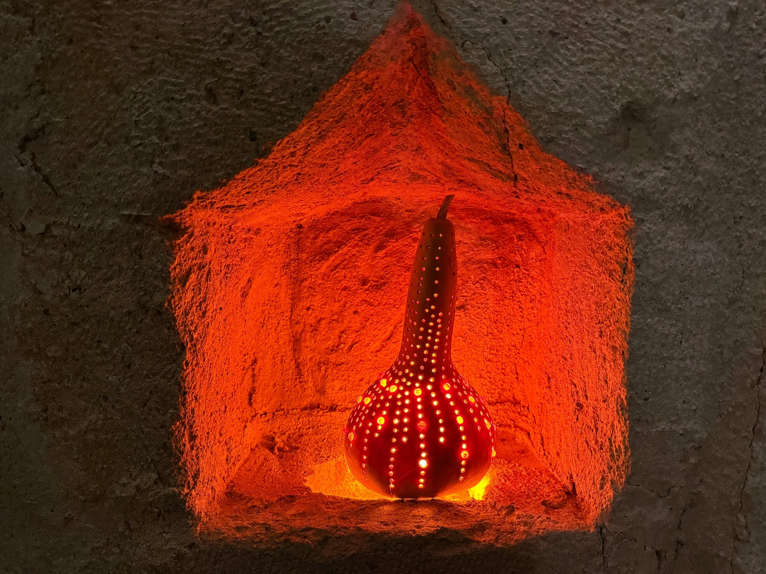
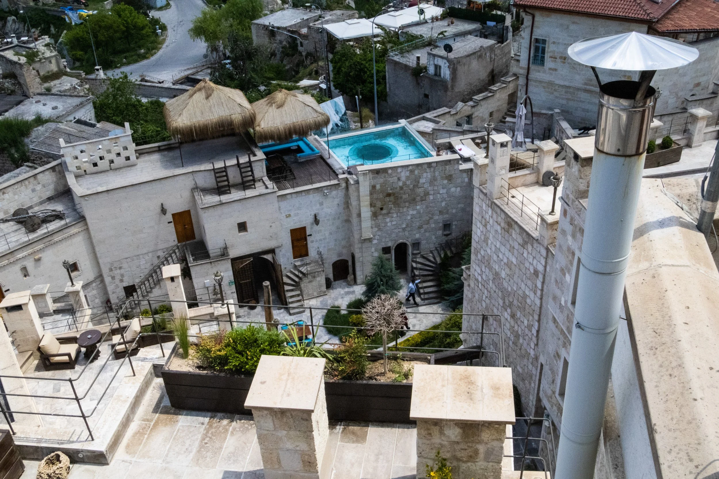
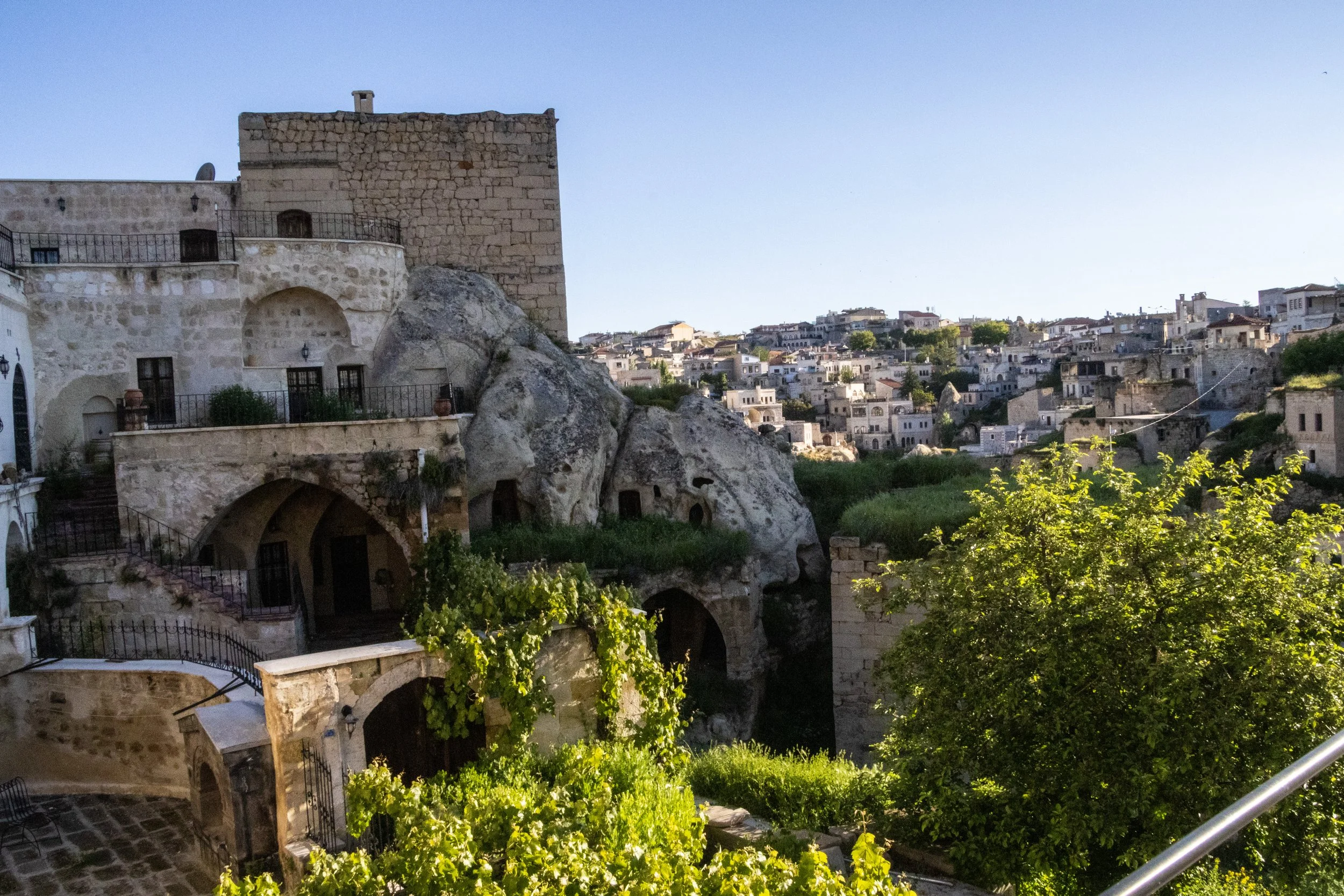
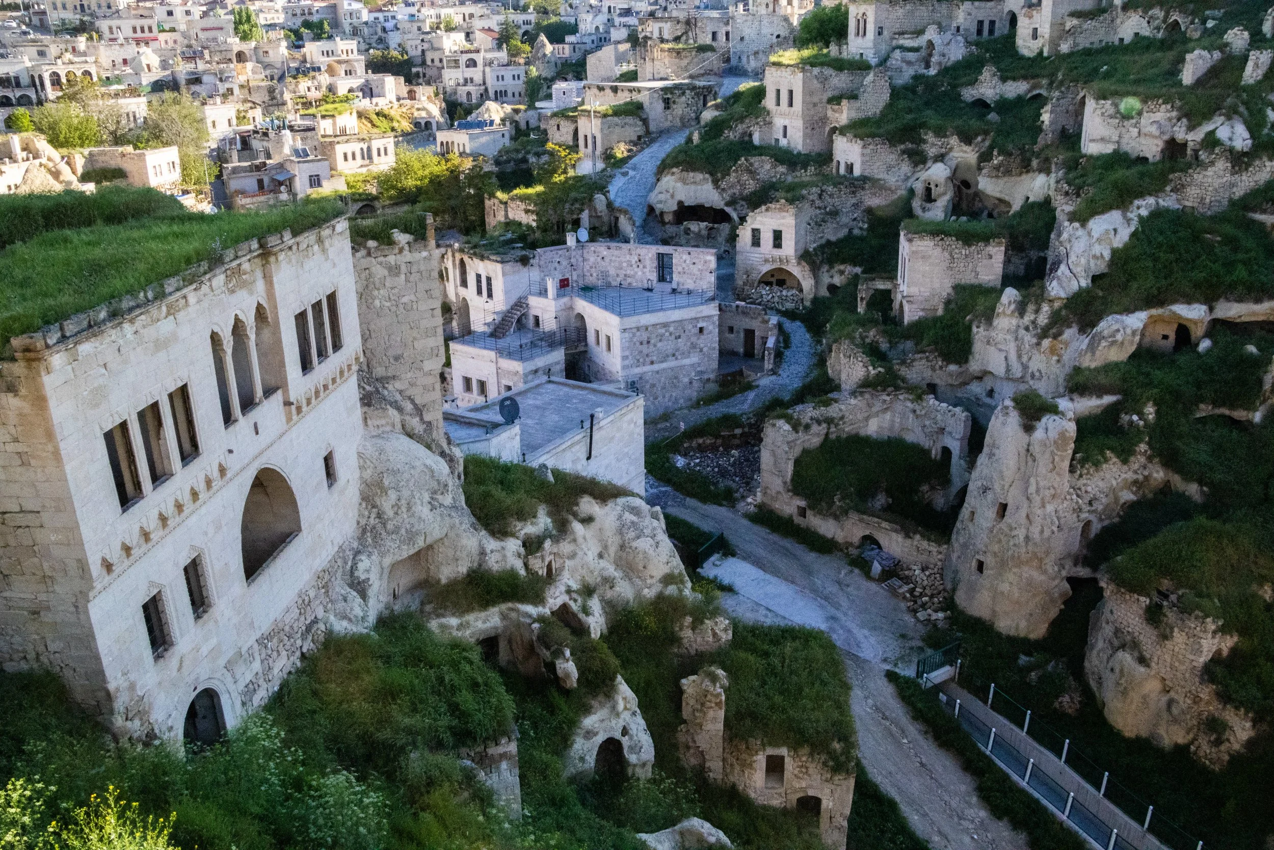
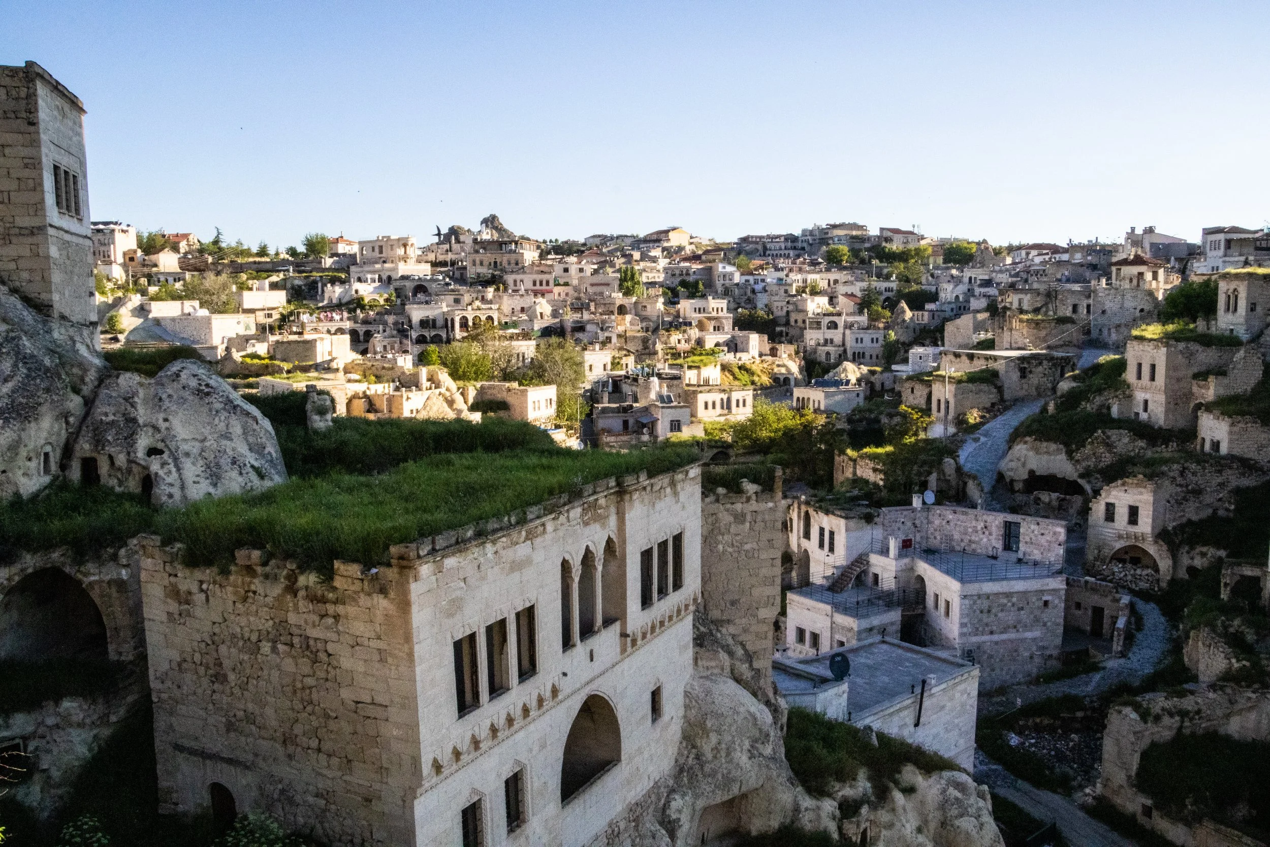
Even arriving late at night, the otherworldliness of this place was already striking. We’d opted to stay in a cave-hotel with a direct view of Ortahisar Castle rising vertically out of the town’s center like a unicorn horn. And what do I mean by “cave hotel”? The room was literally carved into stone in the side of a cliff; all the walls were rough, unfinished rock, and within this rocky crevice, there was a Turkish rug, a king-sized bed, and everything else you’d need for a comfortable hotel room. I had never stayed in anything like this before (although our little nook in Nizwa, Oman came close), but cave hotels are a “thing” in Cappadocia. Much of this region’s natural topography is defined by the remnants of volcanic activity, which has left some crazy rock formations in its wake.
A sleepy but kind man who spoke almost no English hopped out of his night-shift quarters to get us checked in, bringing our bags to our room and wrangling up some Turkish tea and dates for us. Gah, I love Turkish tea. I crave it now. We sat outside in the cool night air enjoying our snacks, overlooking this strange sight. Were we even still on planet earth??
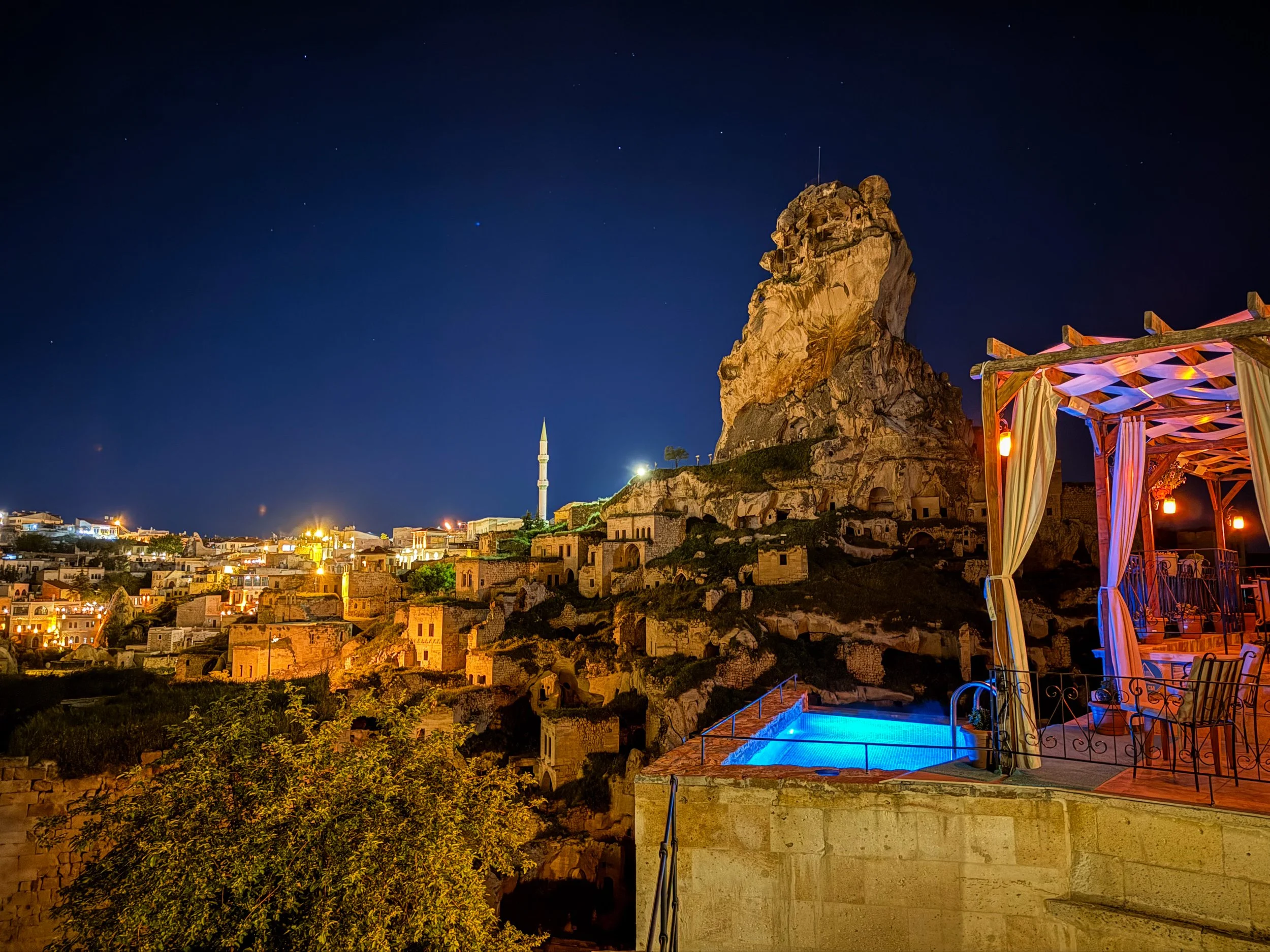
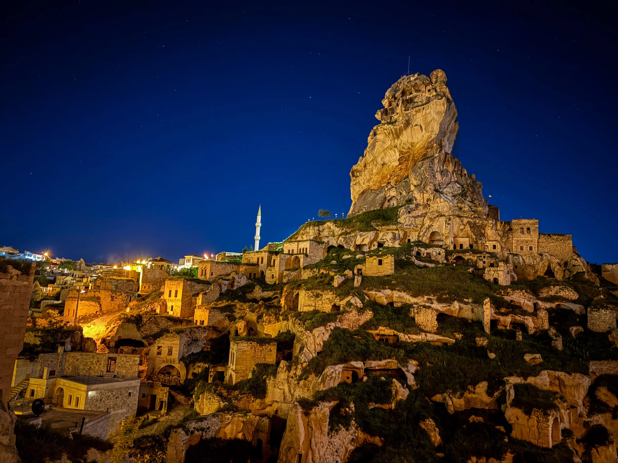
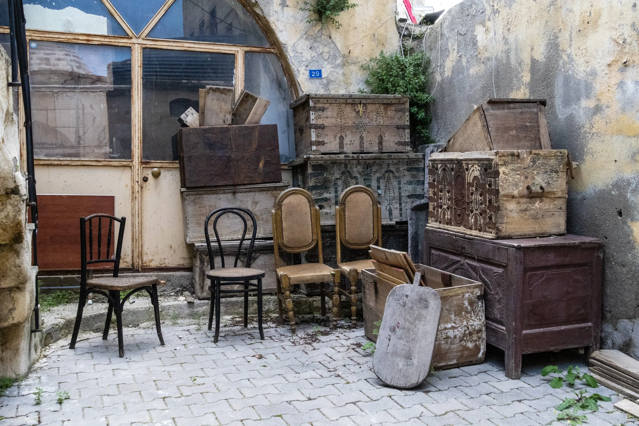
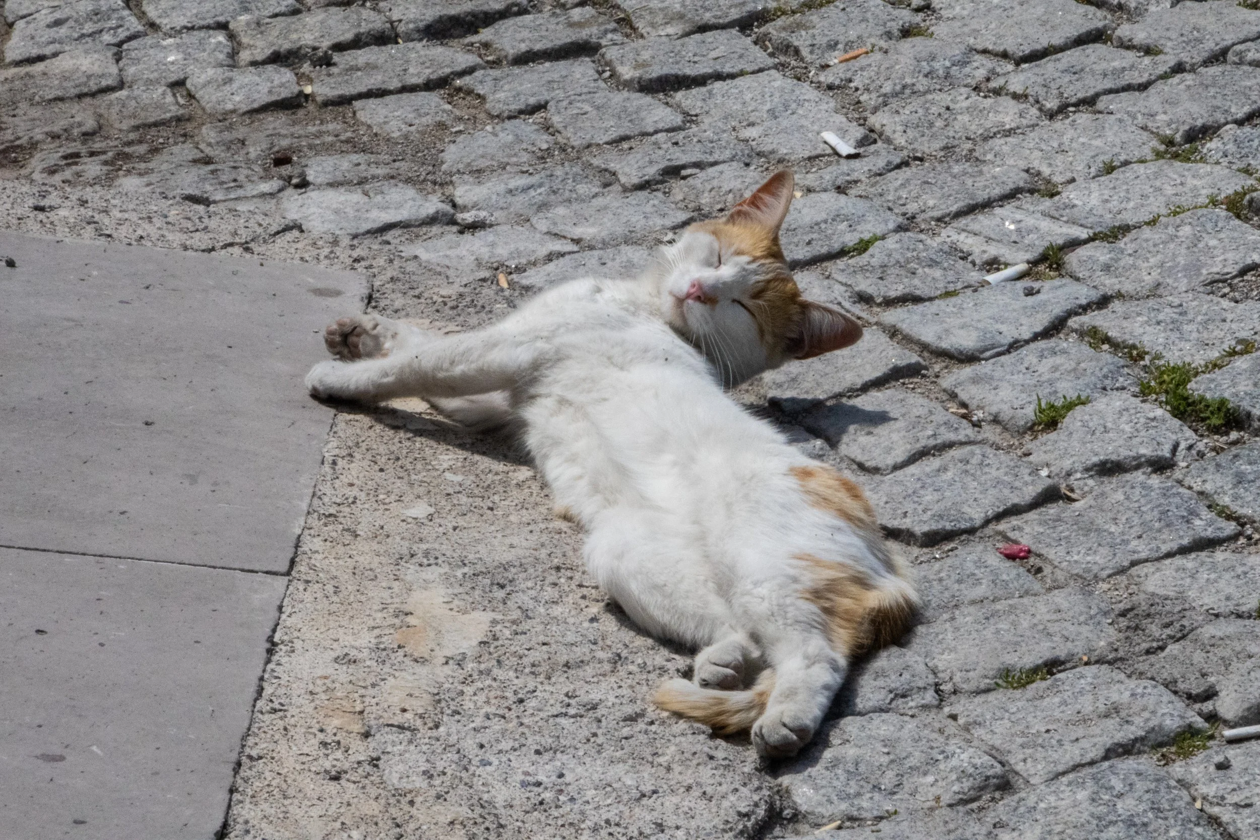
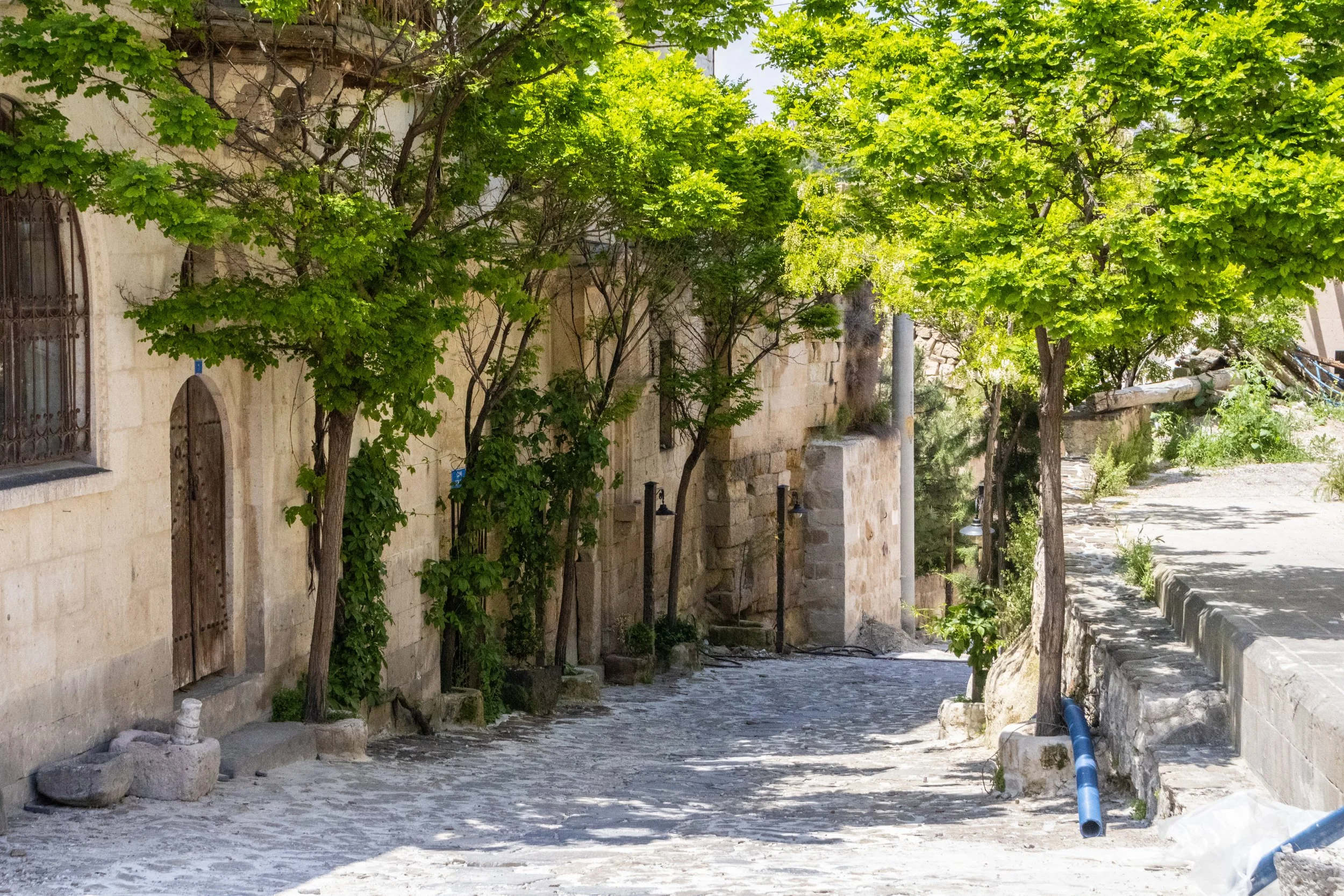
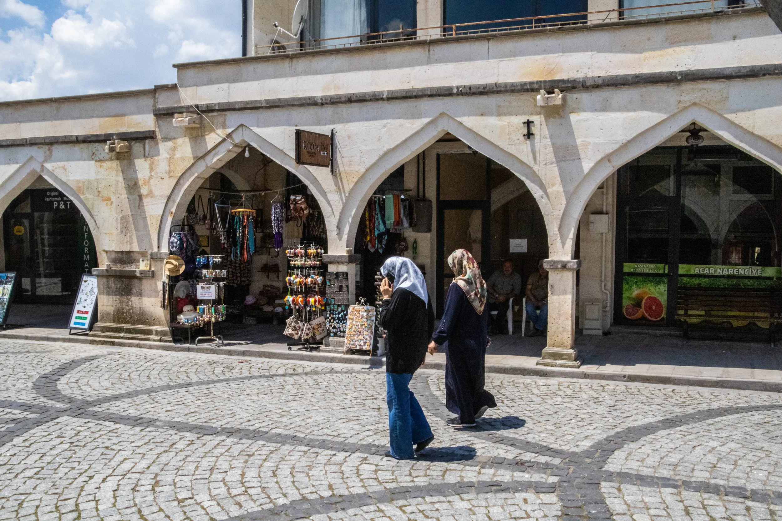
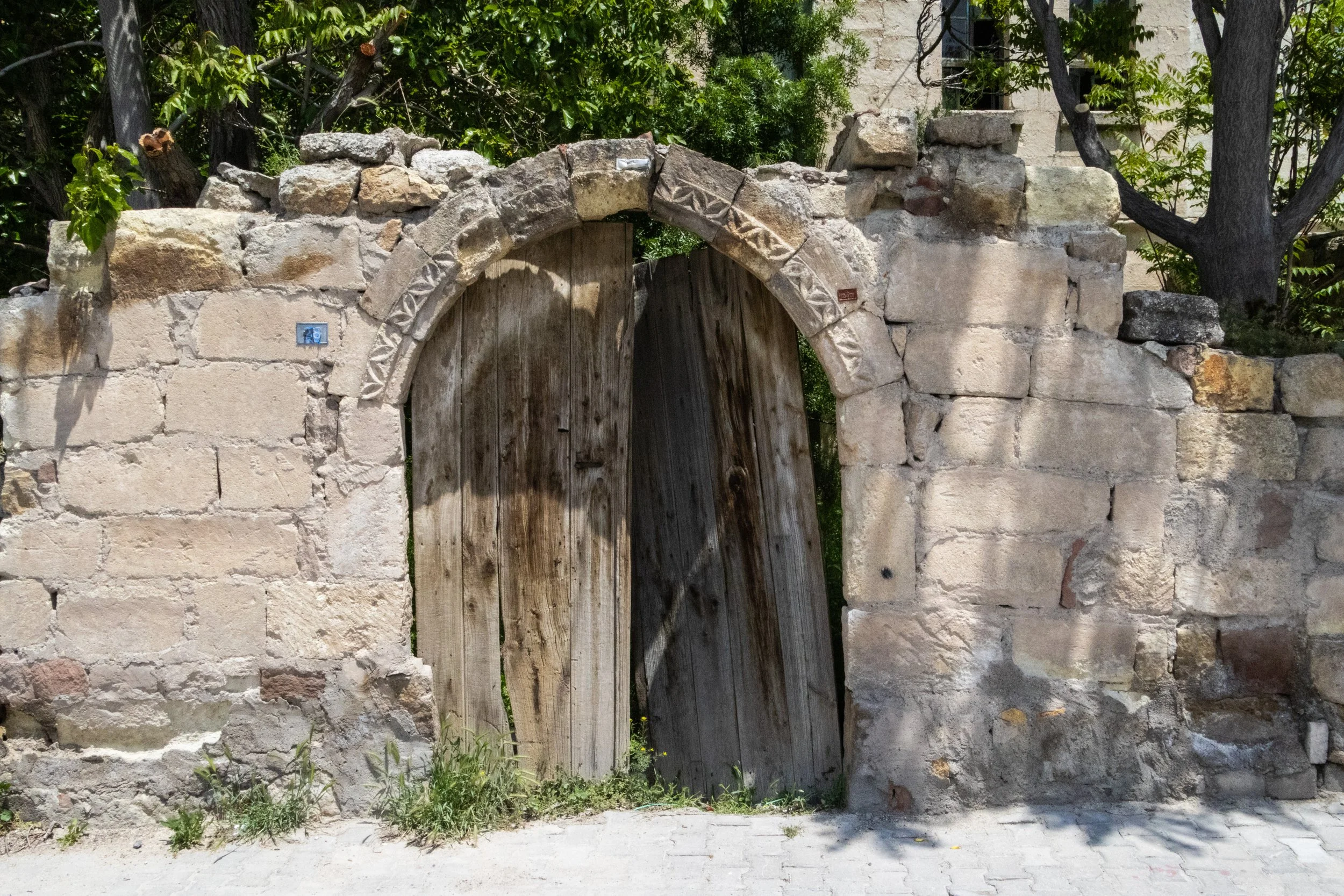
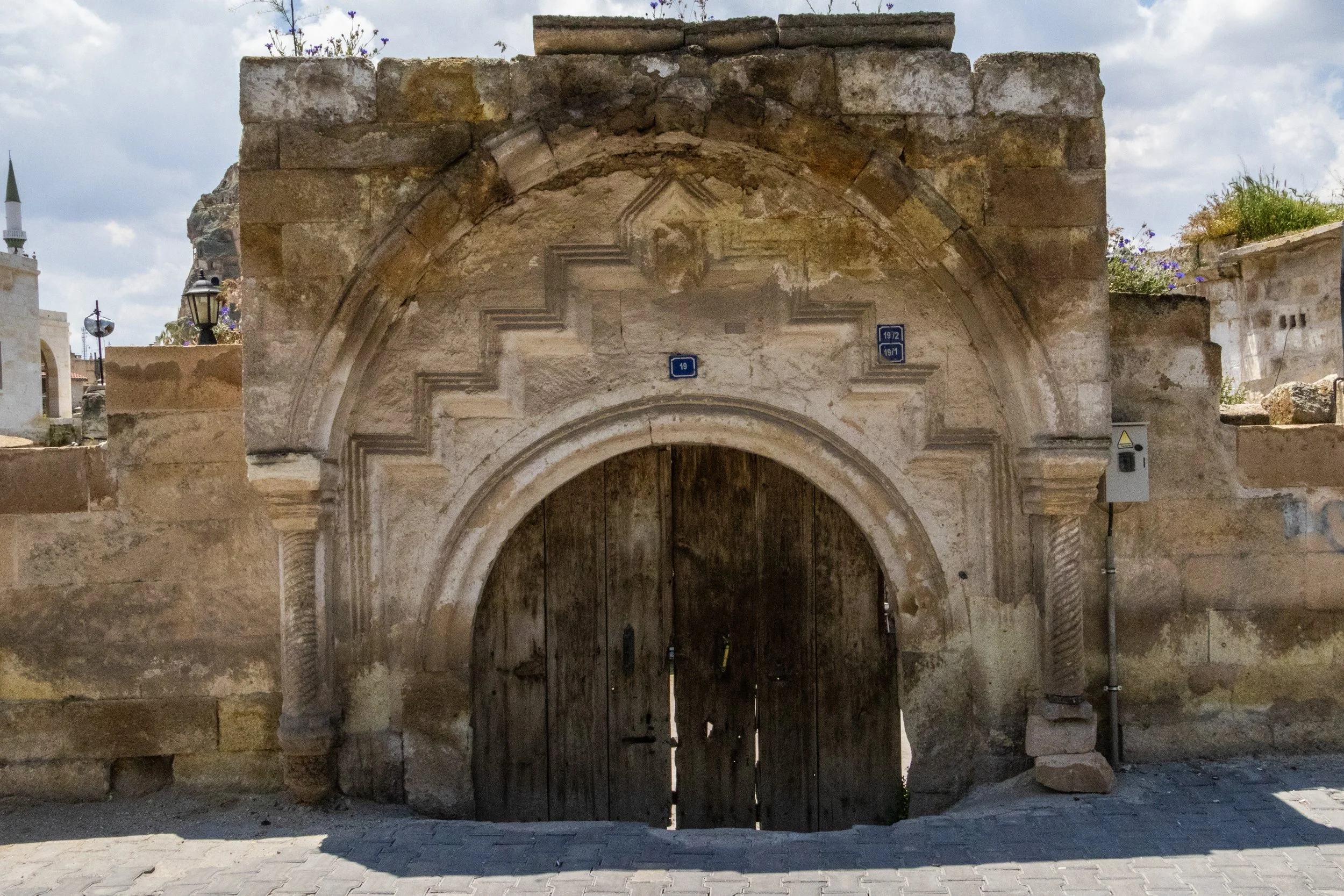
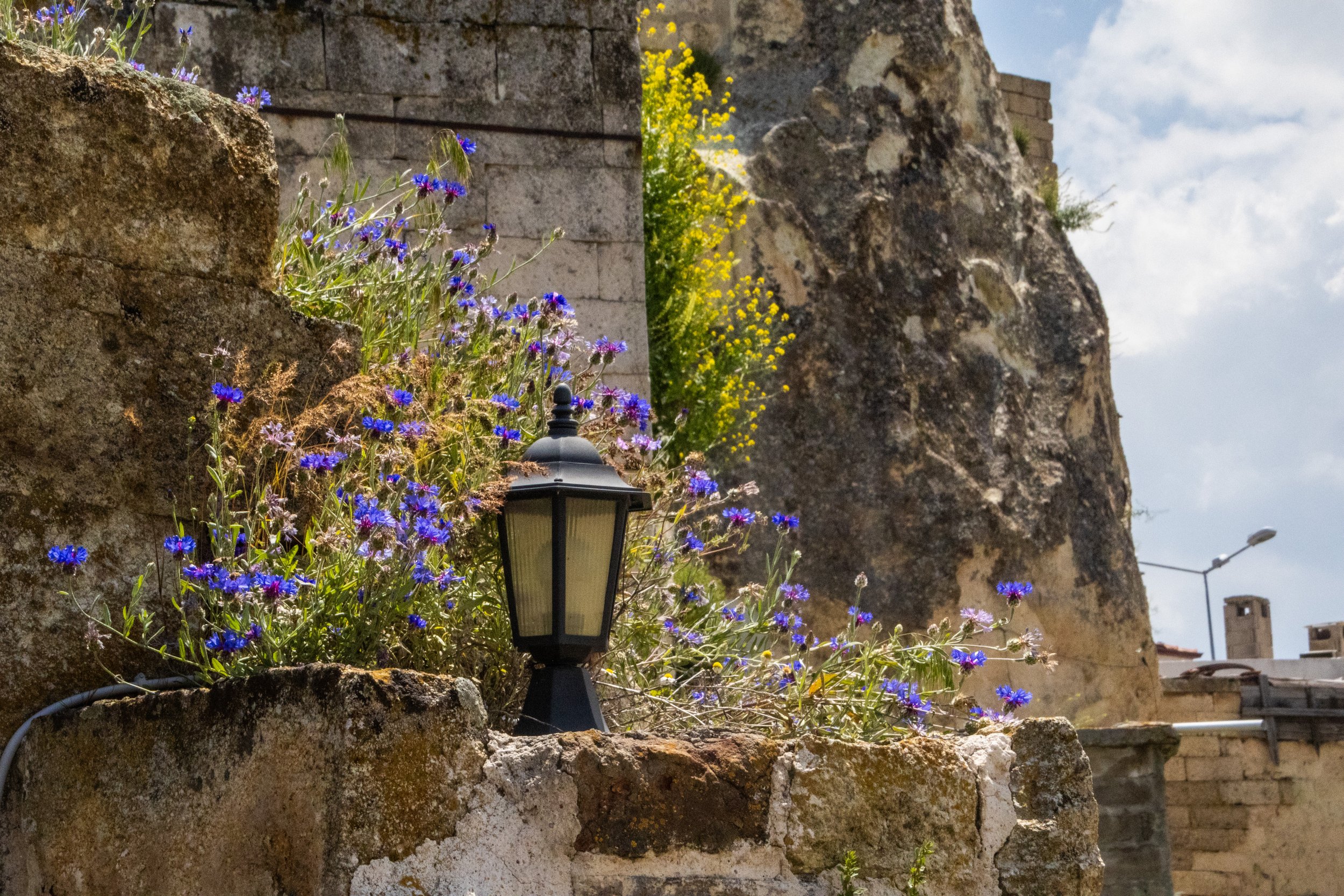
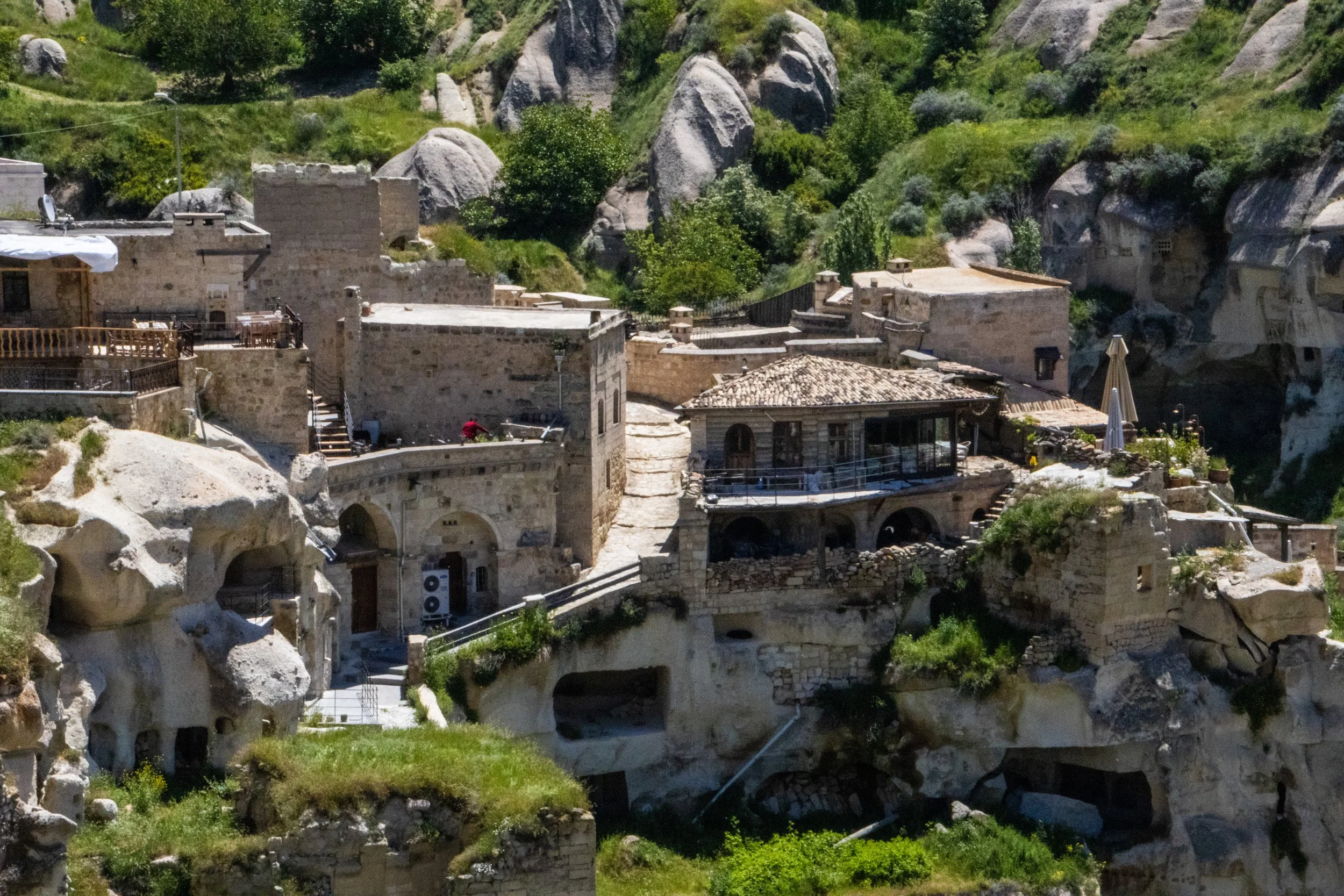
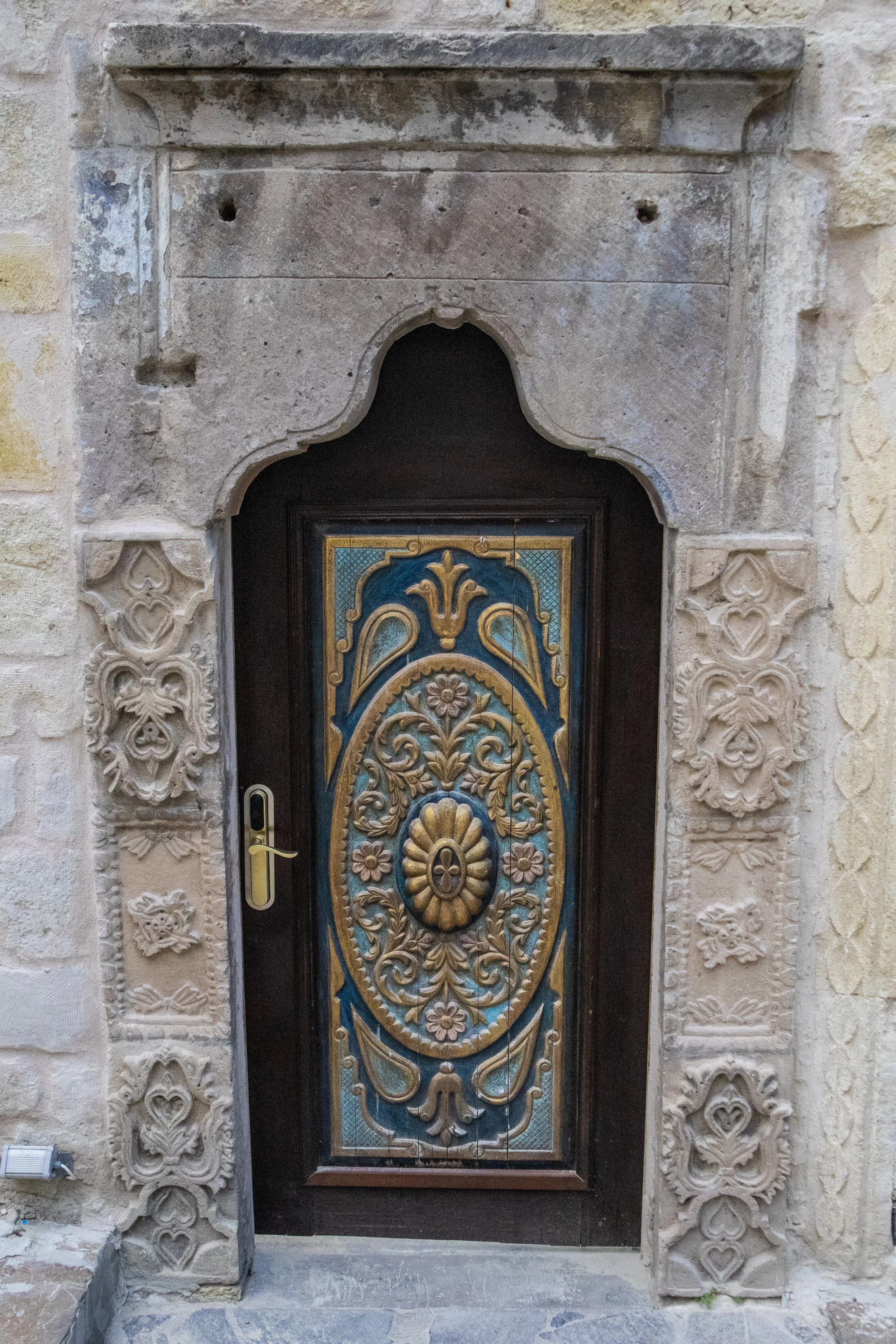
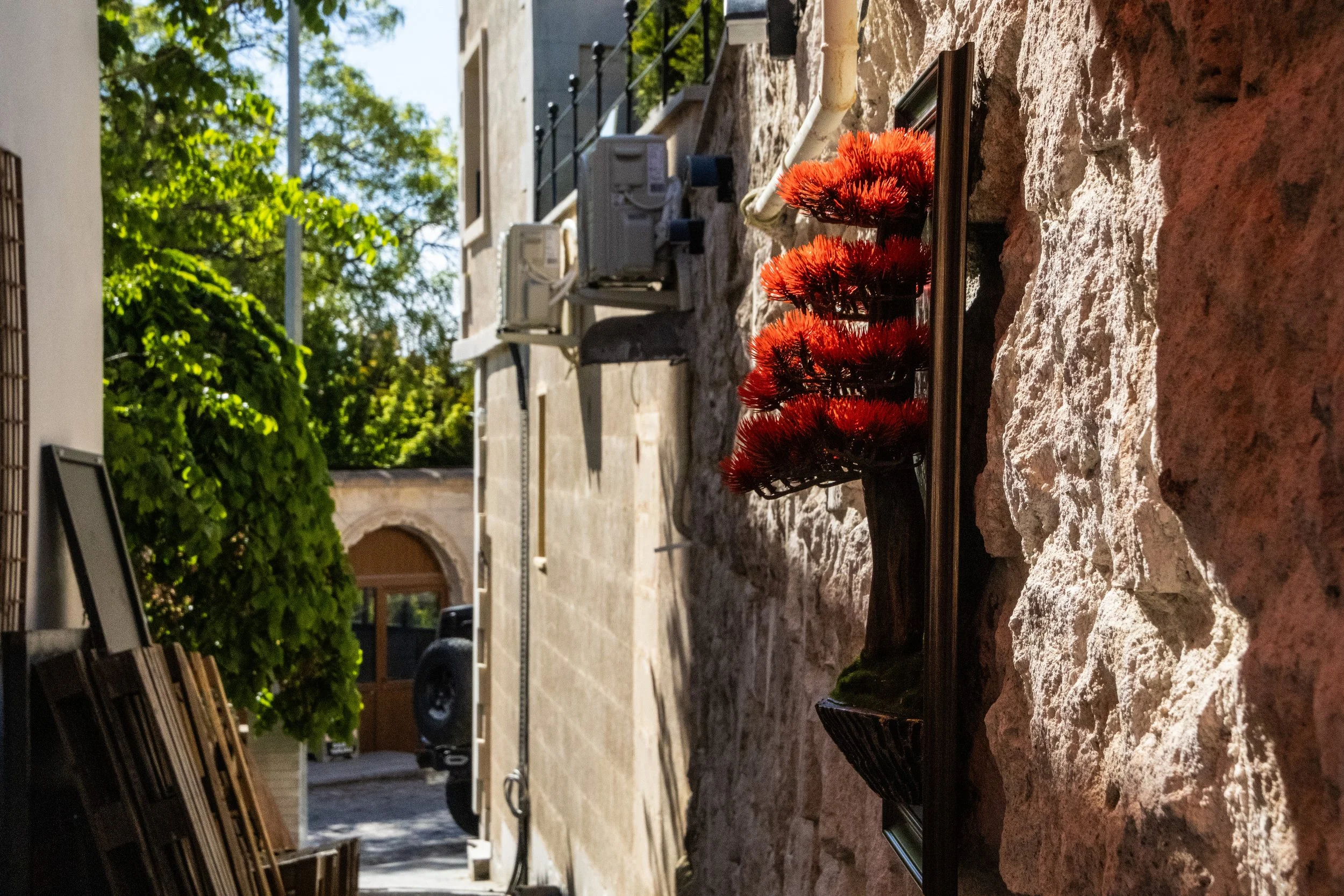
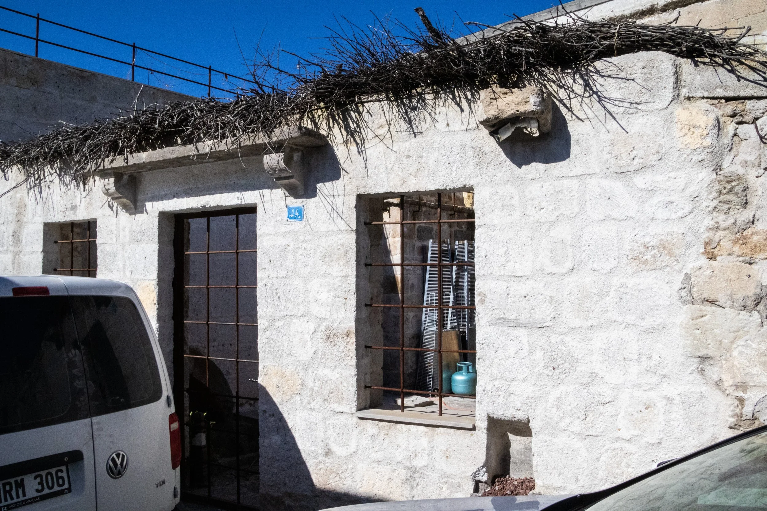
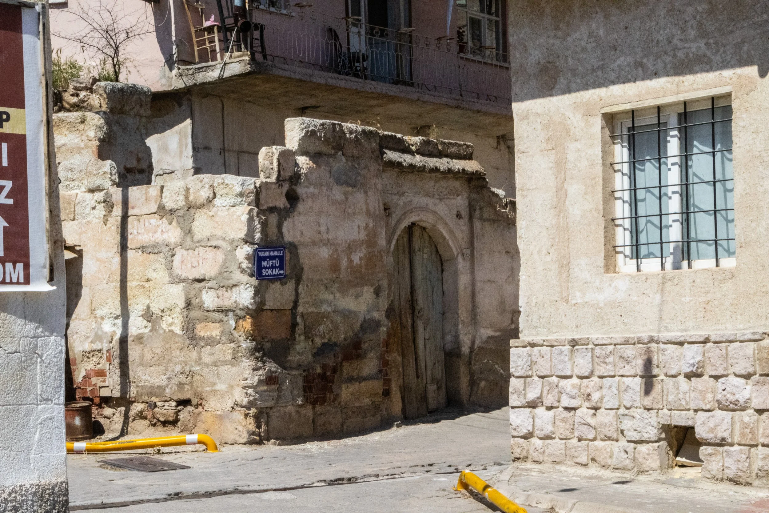
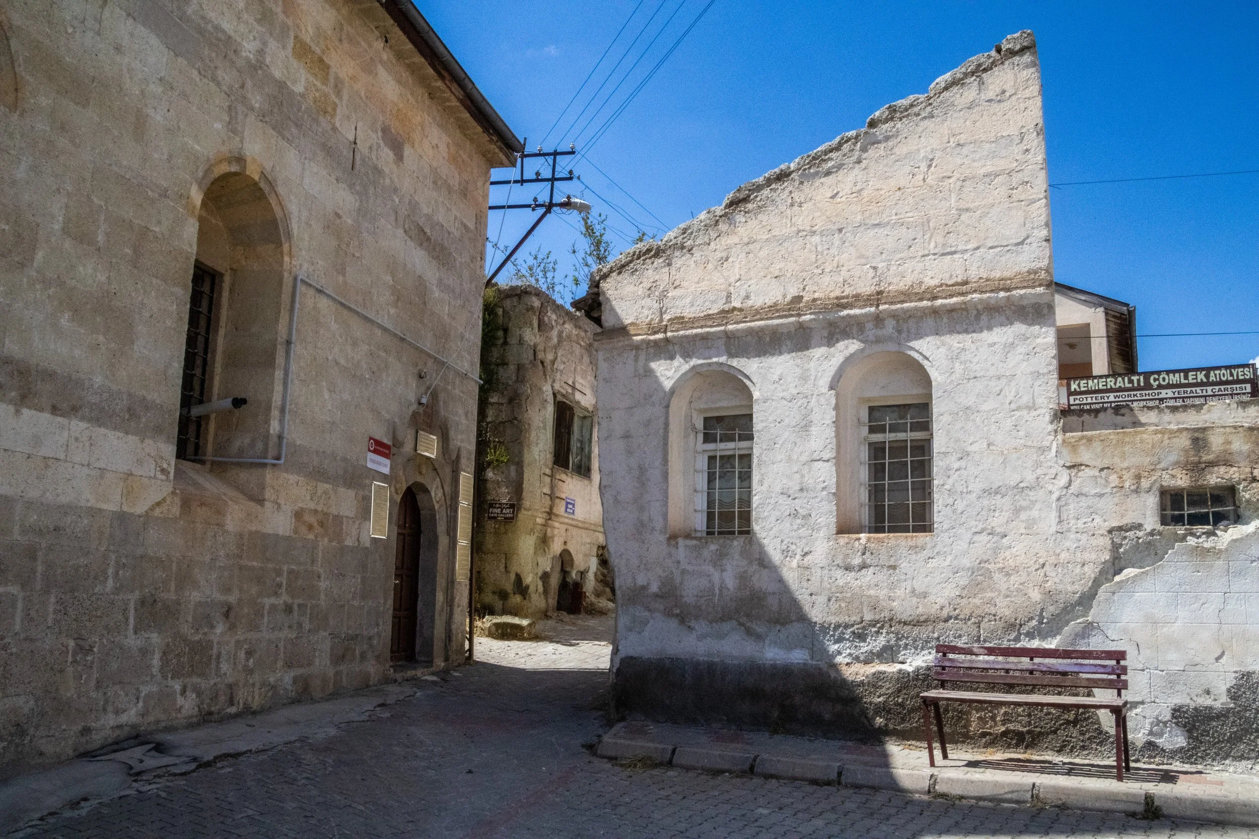
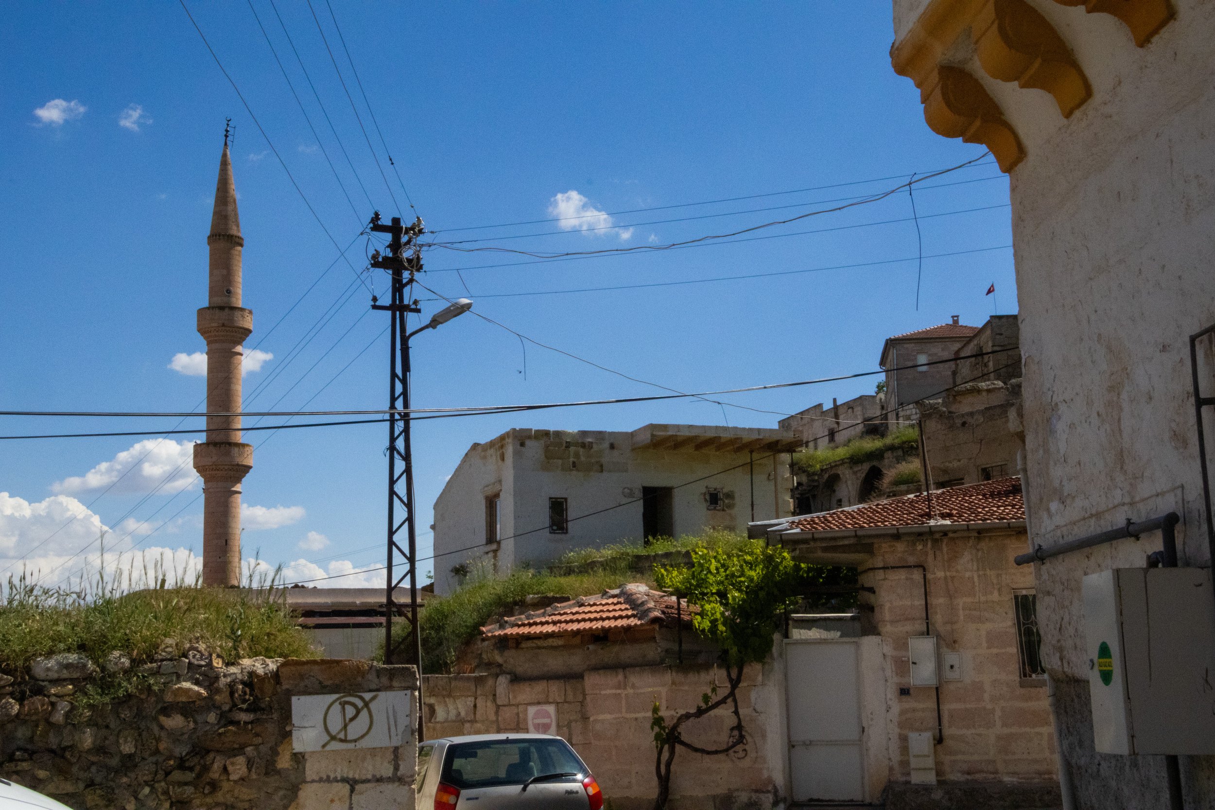
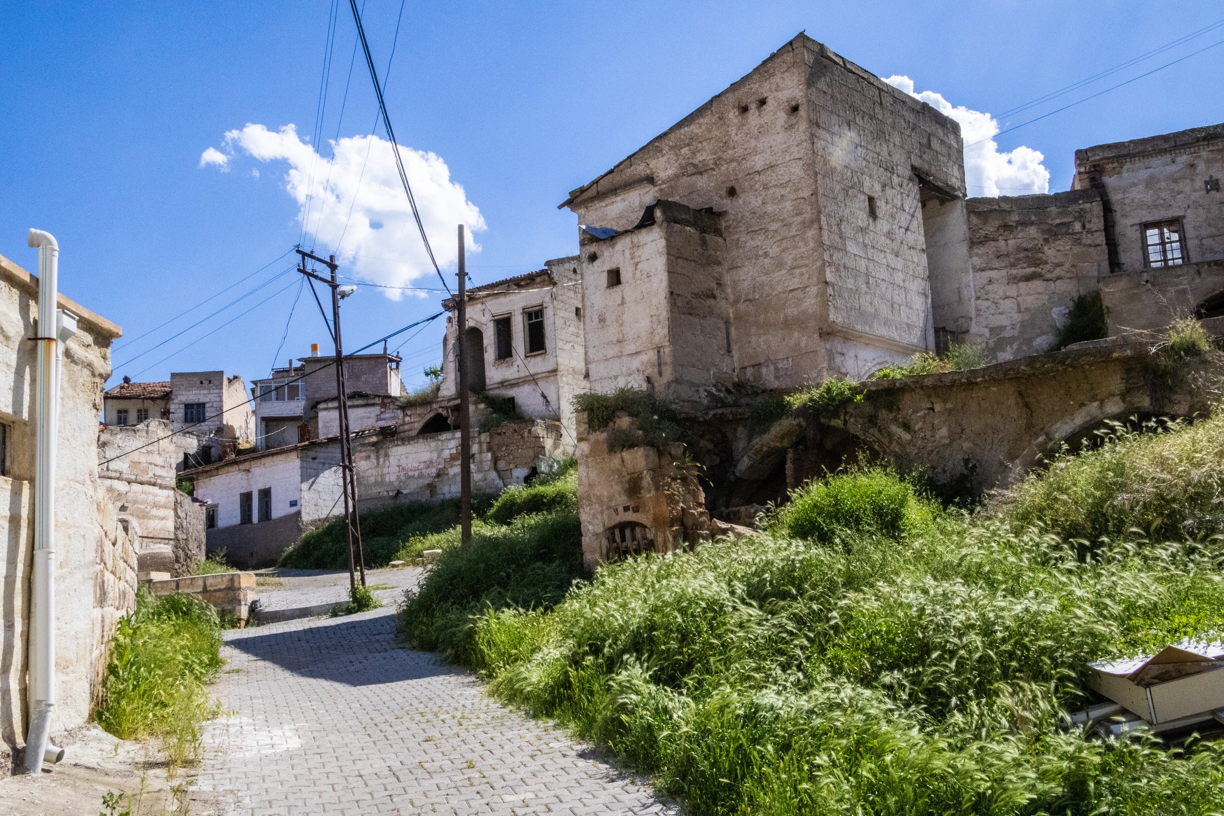
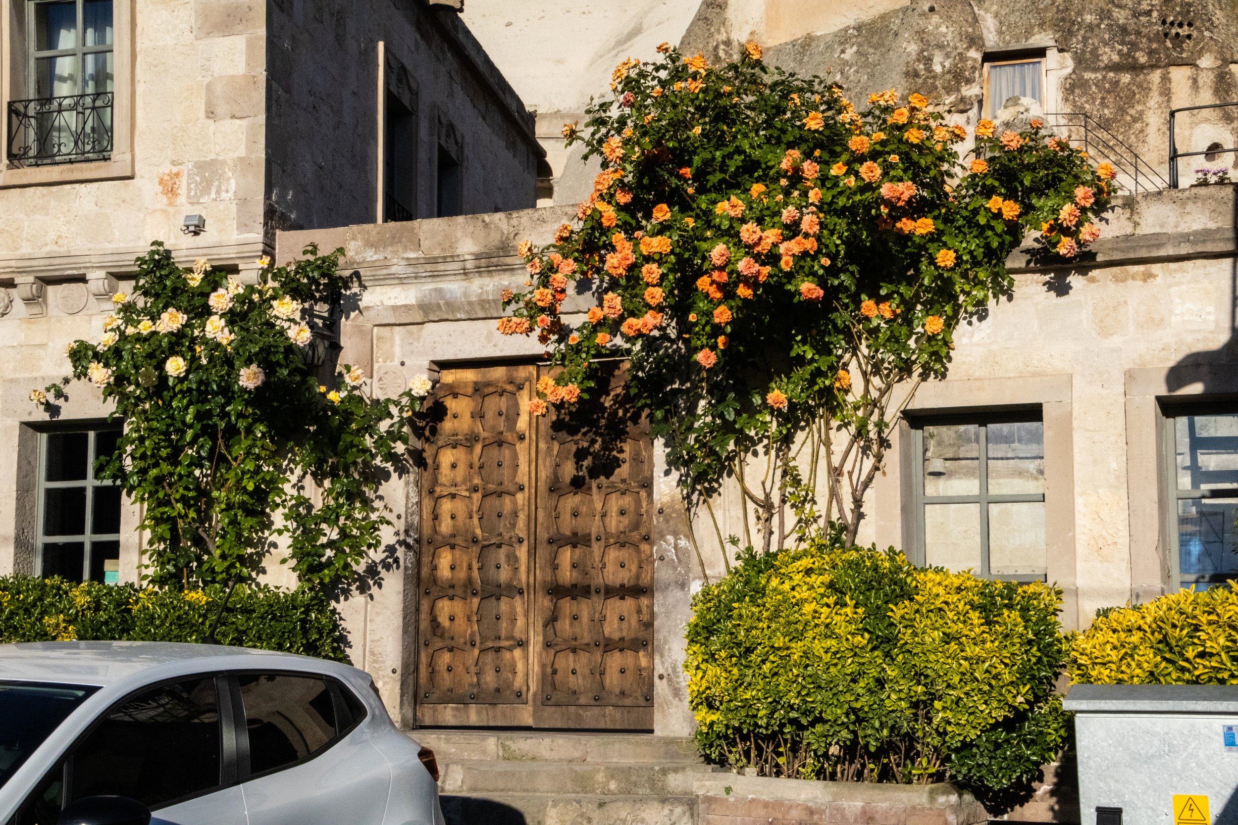
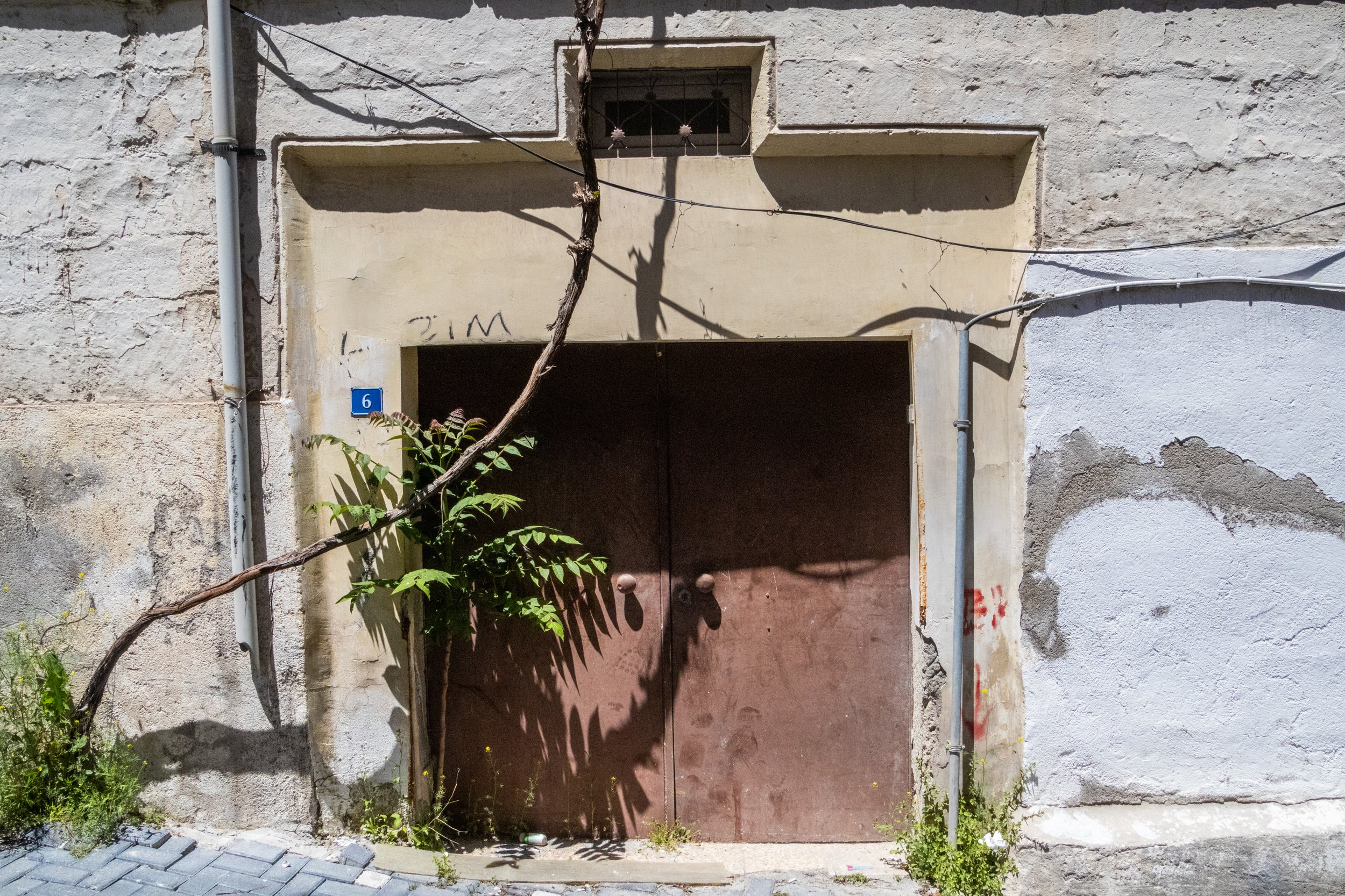
So let’s go see this town in daylight! Of the 4 towns we’ll be visiting today, this was the quietest. Although our hotel was—as the crow flies—very close to the town center and Ortahisar Castle. However, there was a volcanic trench that sat between us and the center of town, forcing a diversion large enough that we opted to drive. After wedging our rental car into a parking space on a quiet road within striking distance of the center of town, a winding, weathered, sun-bleached cityscape revealed itself to us. While the exterior of every building seemed, at first glance, to be crumbling, some were clearly being maintained, so these fascinating facades gave way to modern interiors, whereas others were in ruins. I suppose this is true of all historic cities to some extent—indeed, the same could be said for most of Havana, the Casbah of Algiers, or even certain stretches of Sicilian cities such as Catania—but Cappadocia was so otherworldly that I’m going to be commenting on it as if I’m seeing it for the first time. Sorry; it was just such a unique atmosphere!
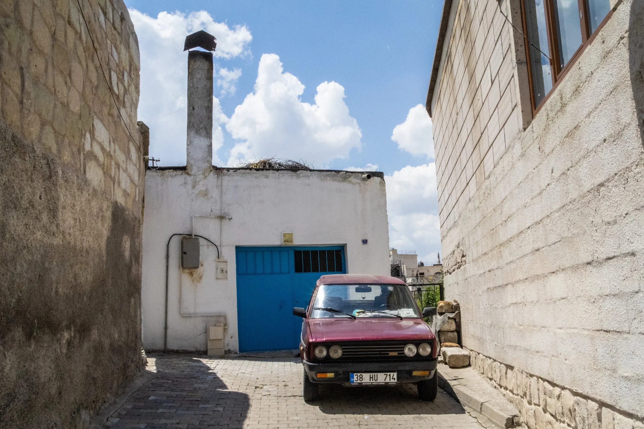
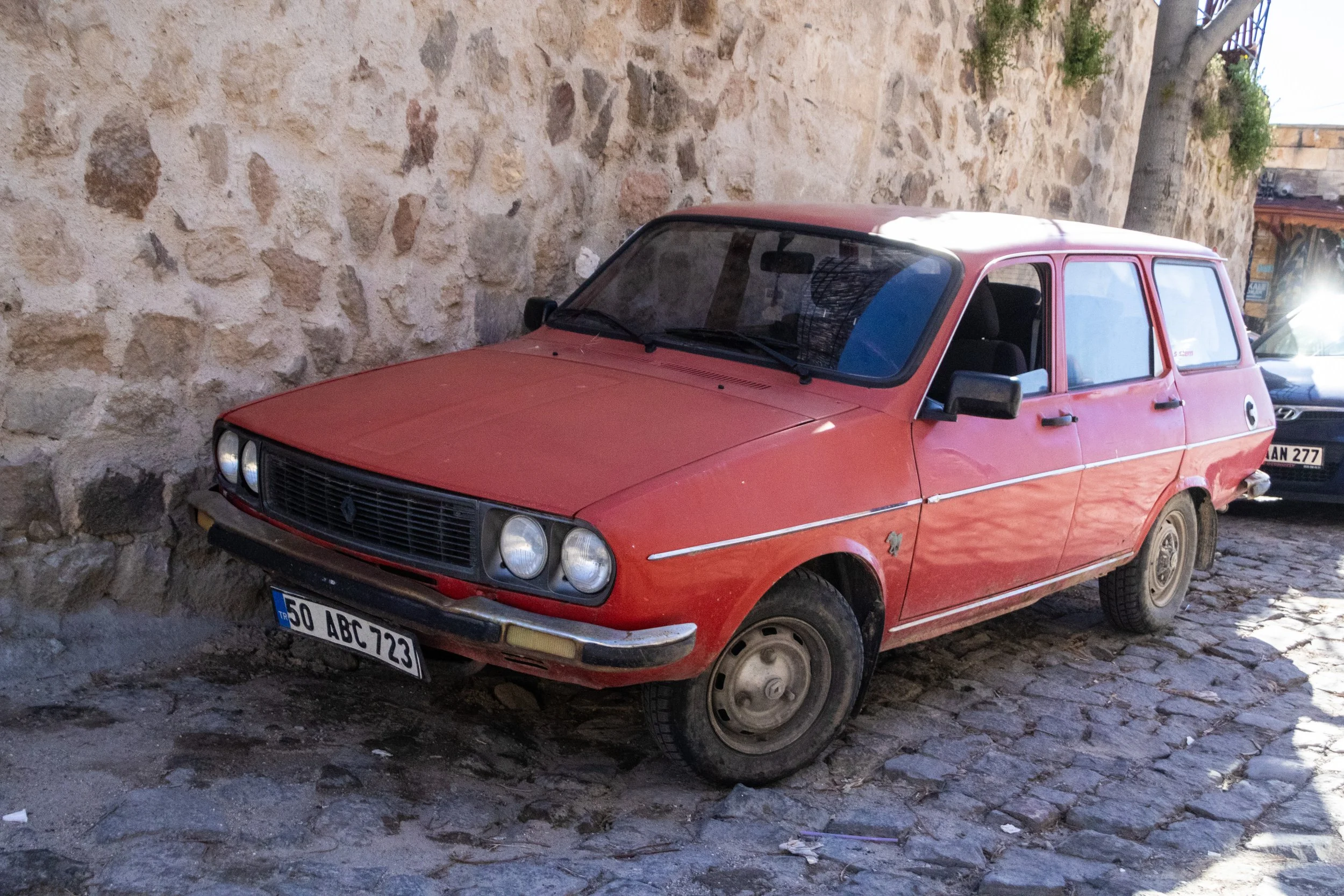
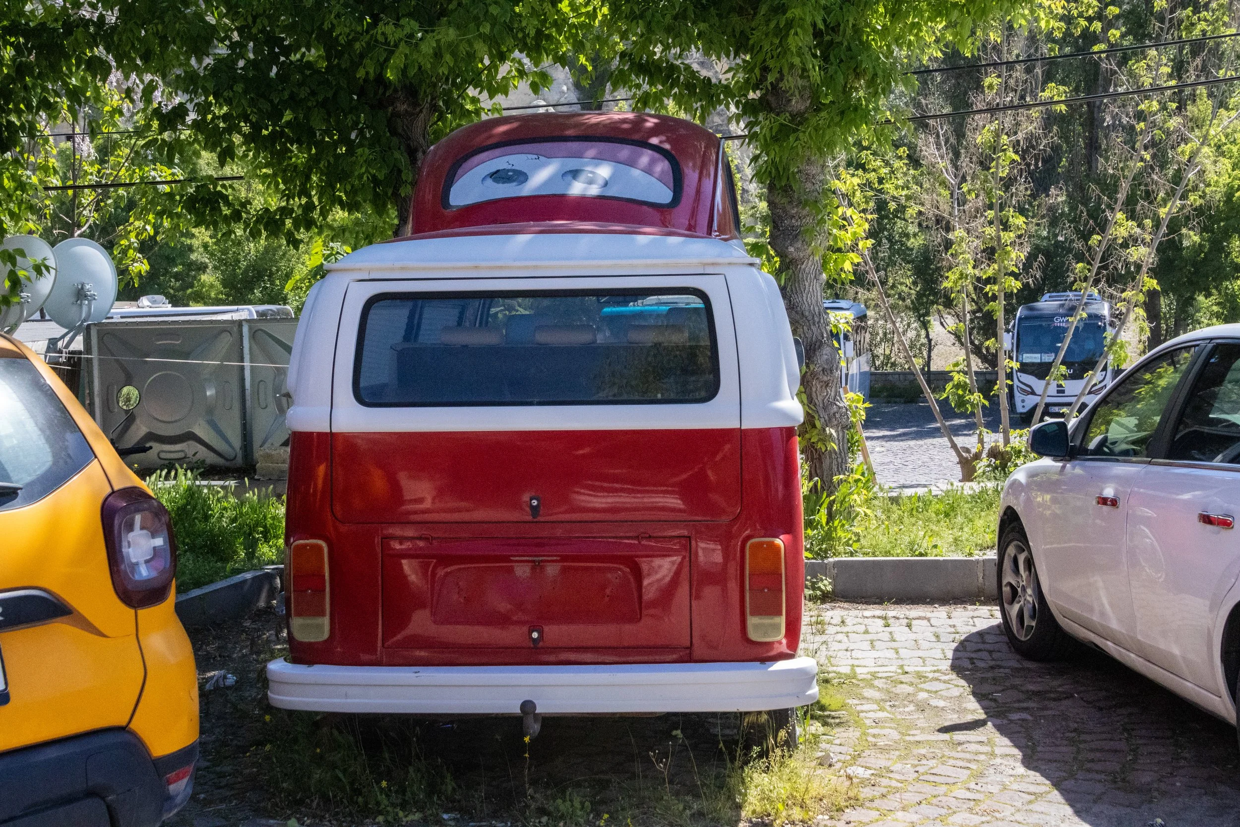
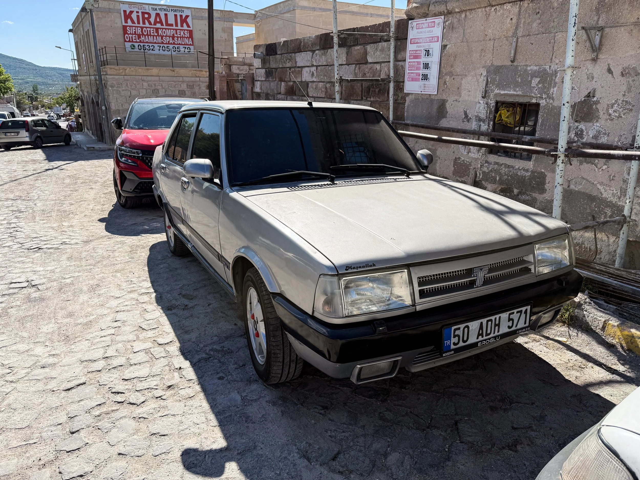
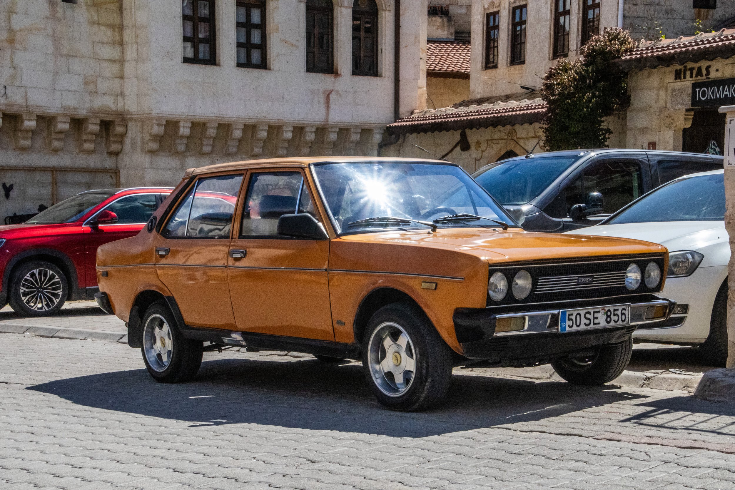
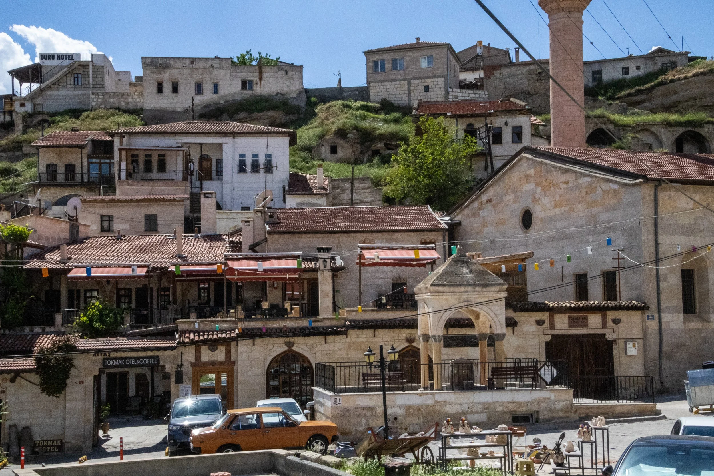
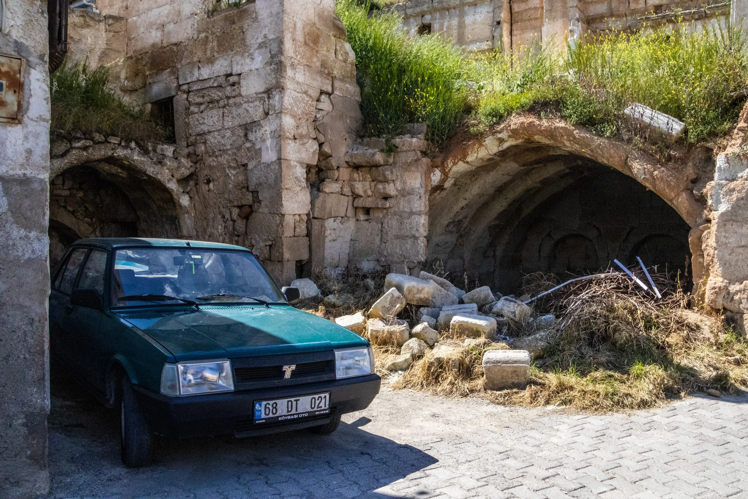
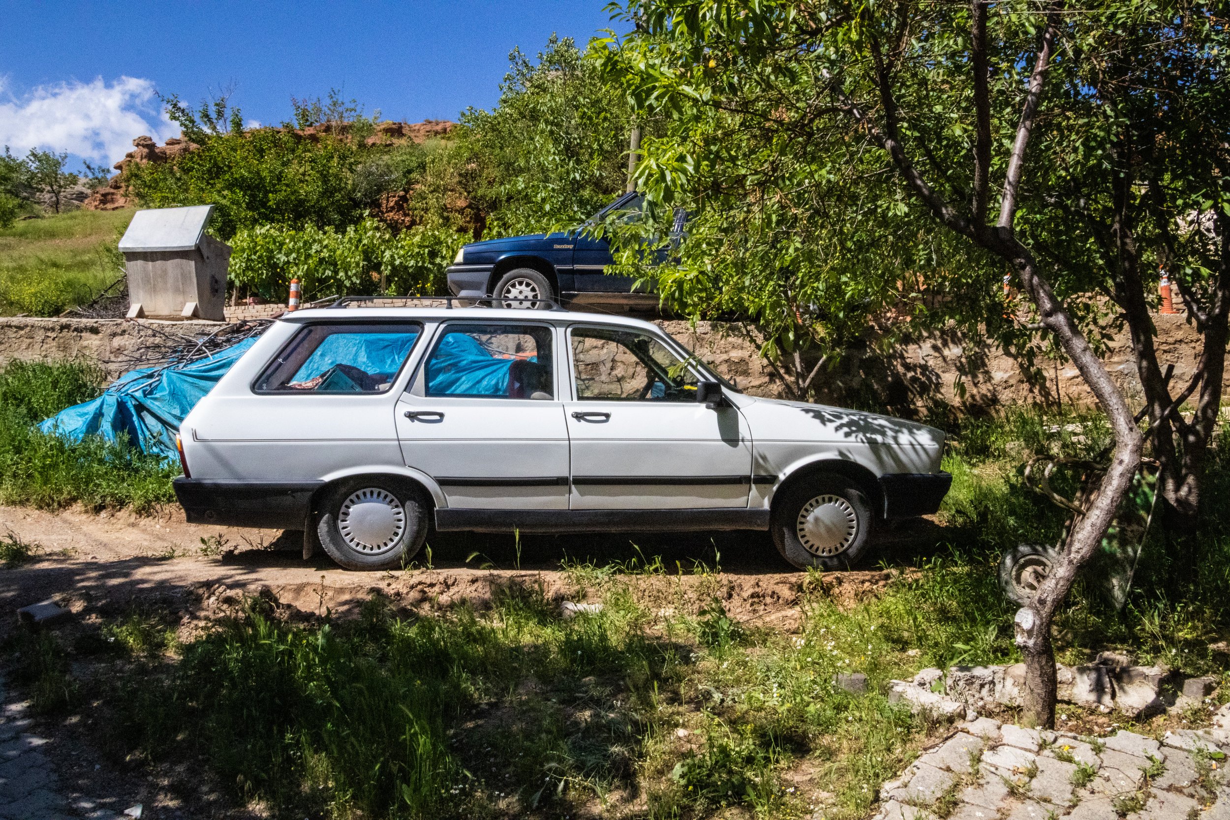
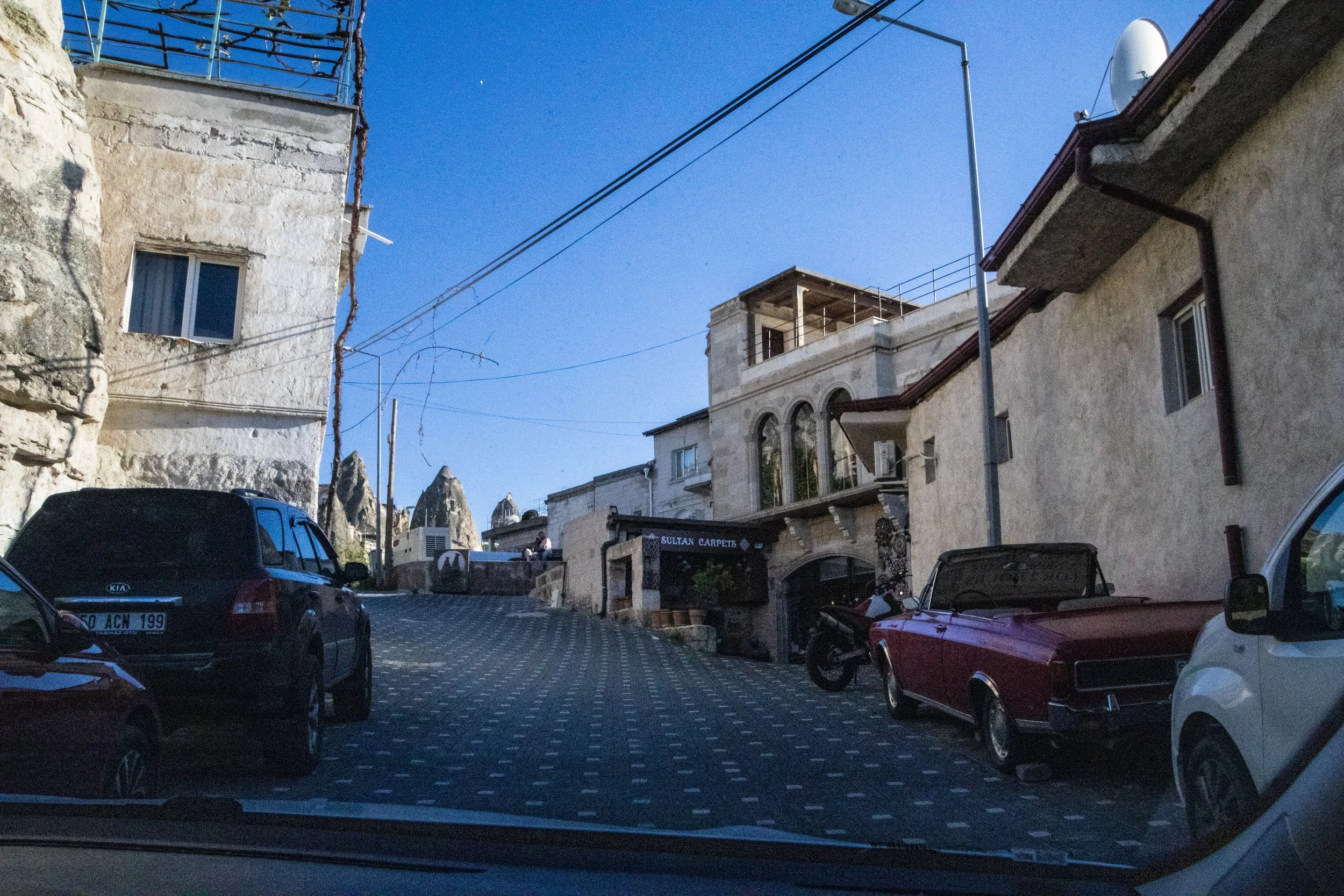
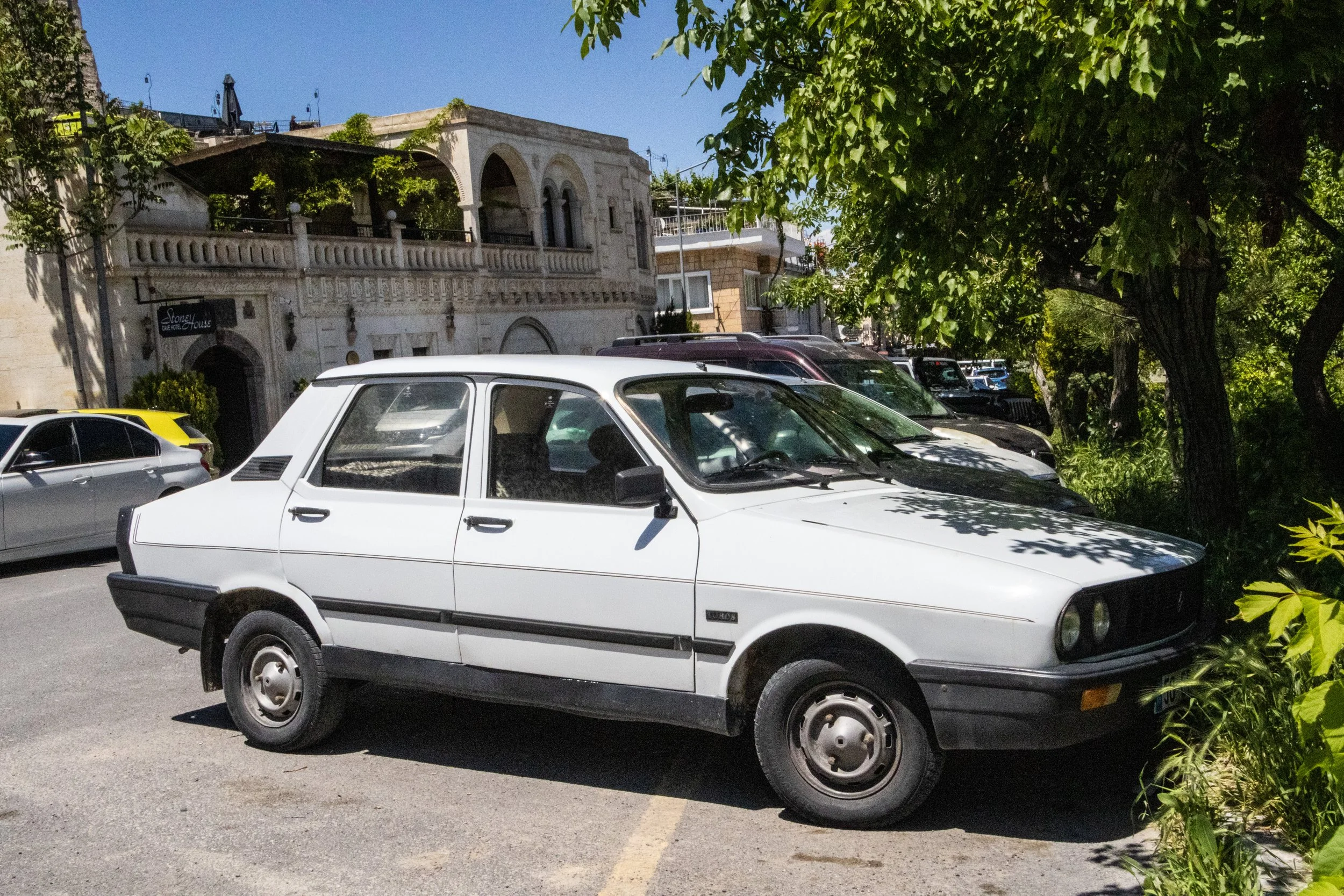
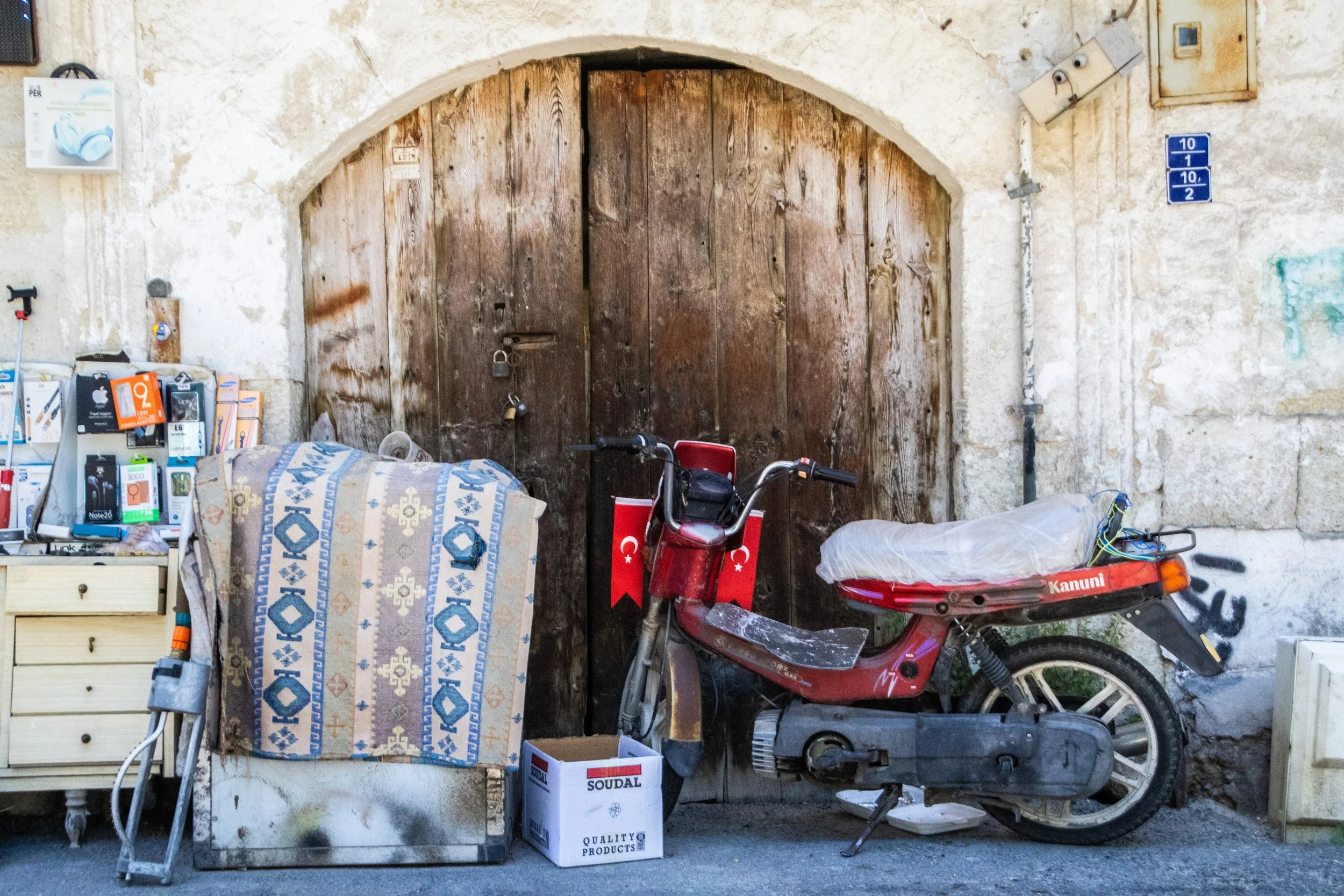
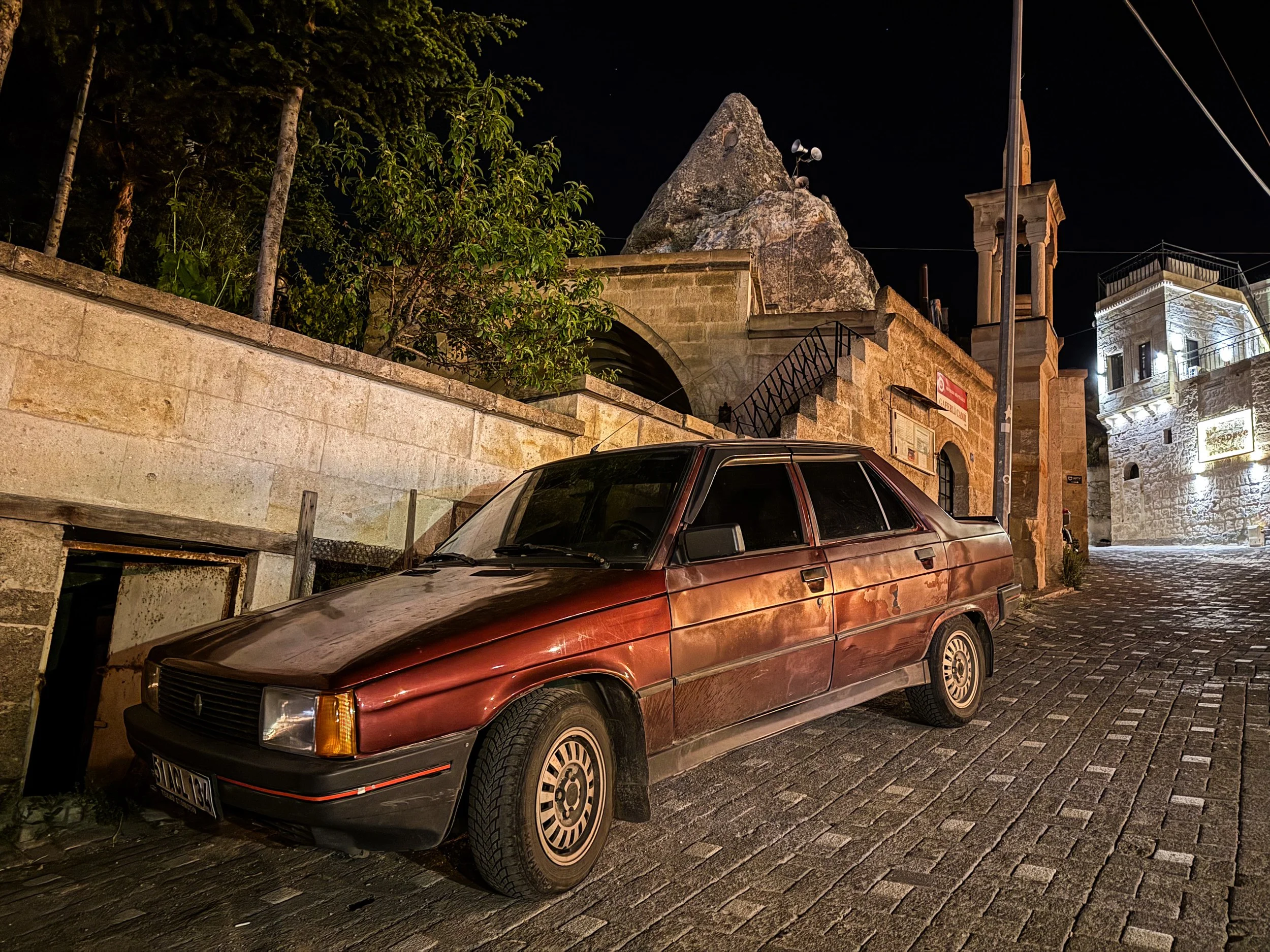
Another theme of Cappadocia that I’ll highlight here is the abundance of cars from the 1980s/early-1990s. To my millennial readers & above, this may not seem like very long ago, but the cars looked very dated. If I had more time here, I would have zoomed in on this and done a post just about these cars. But instead, you’ll have to settle for just looking for them in the galleries of this post; there are a lot of them… both galleries and 80s/90s car photos.
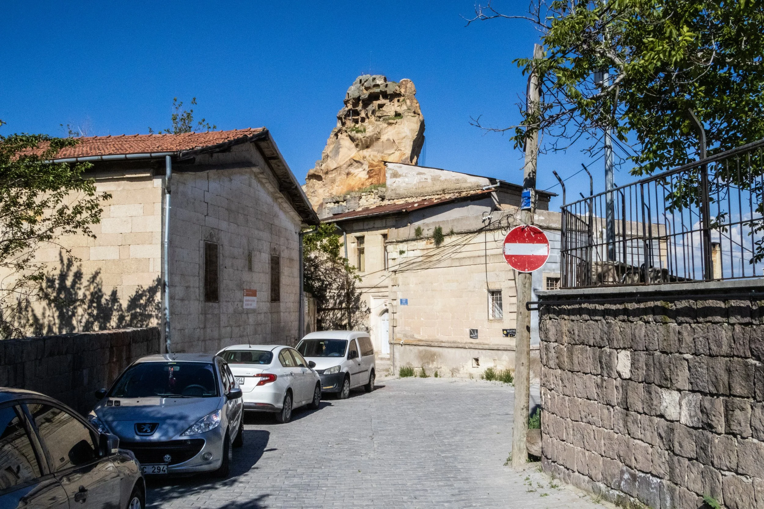
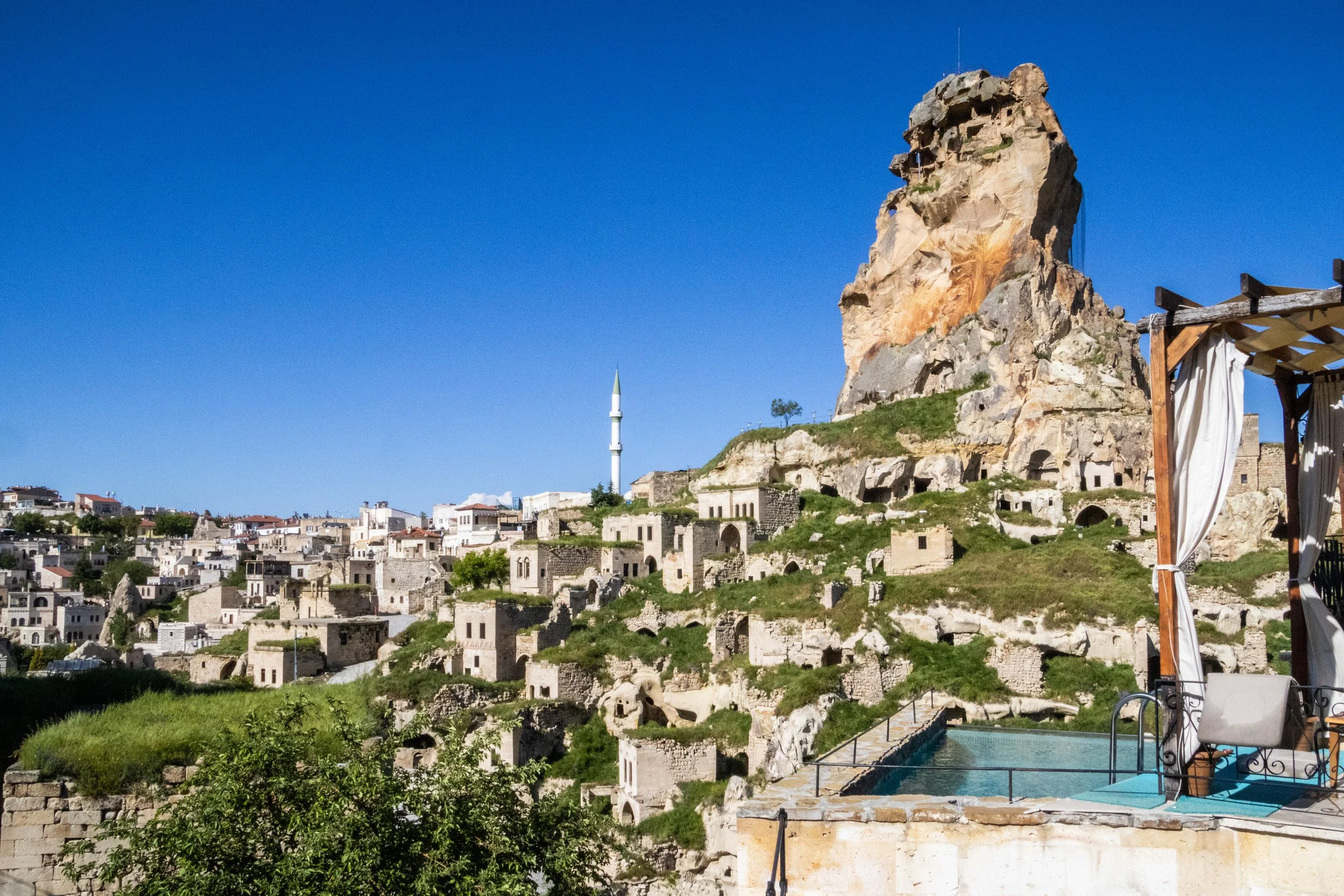
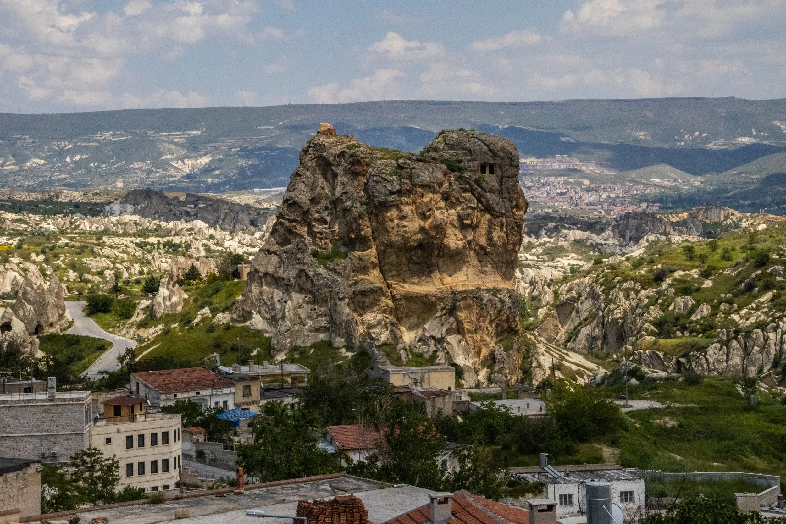
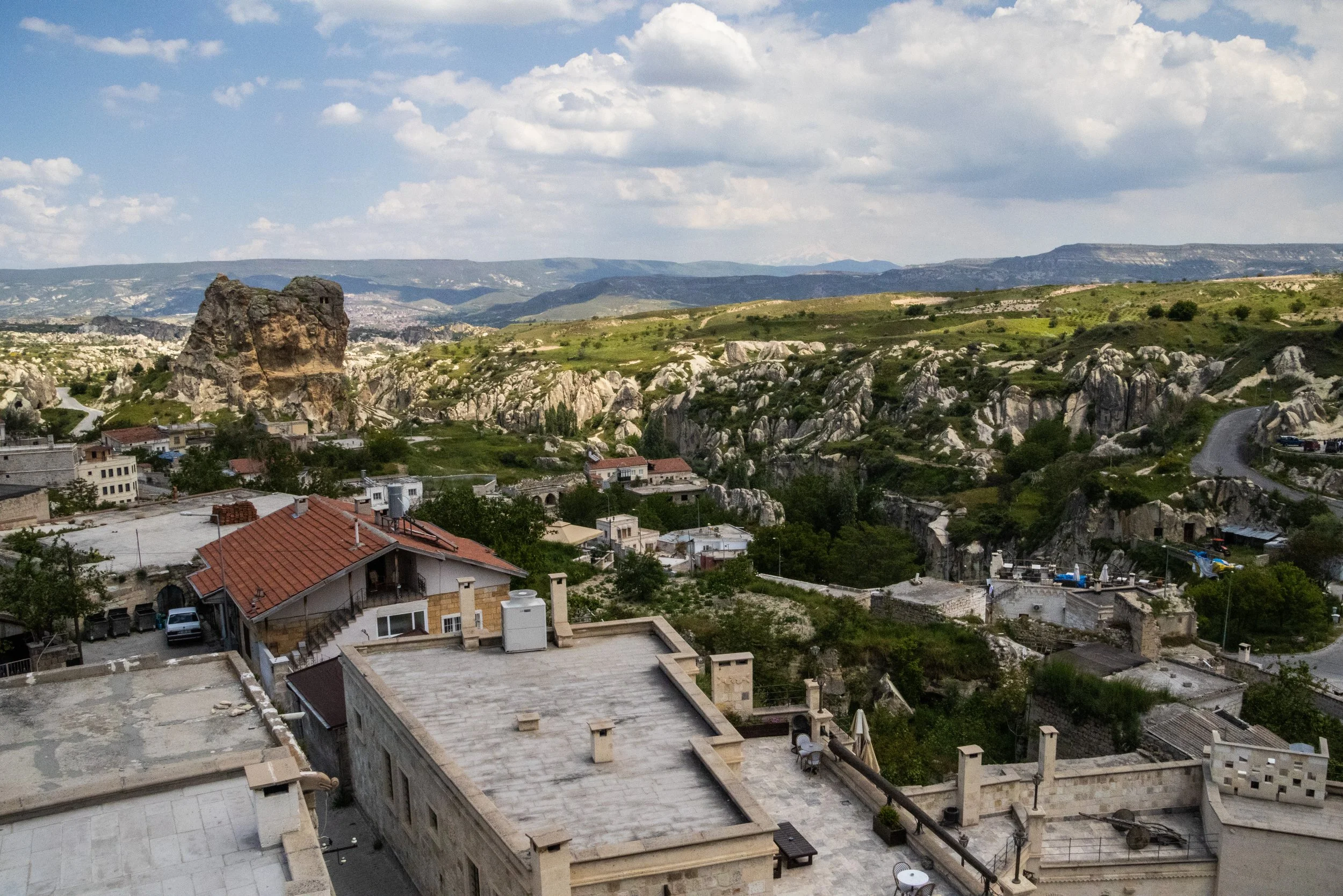
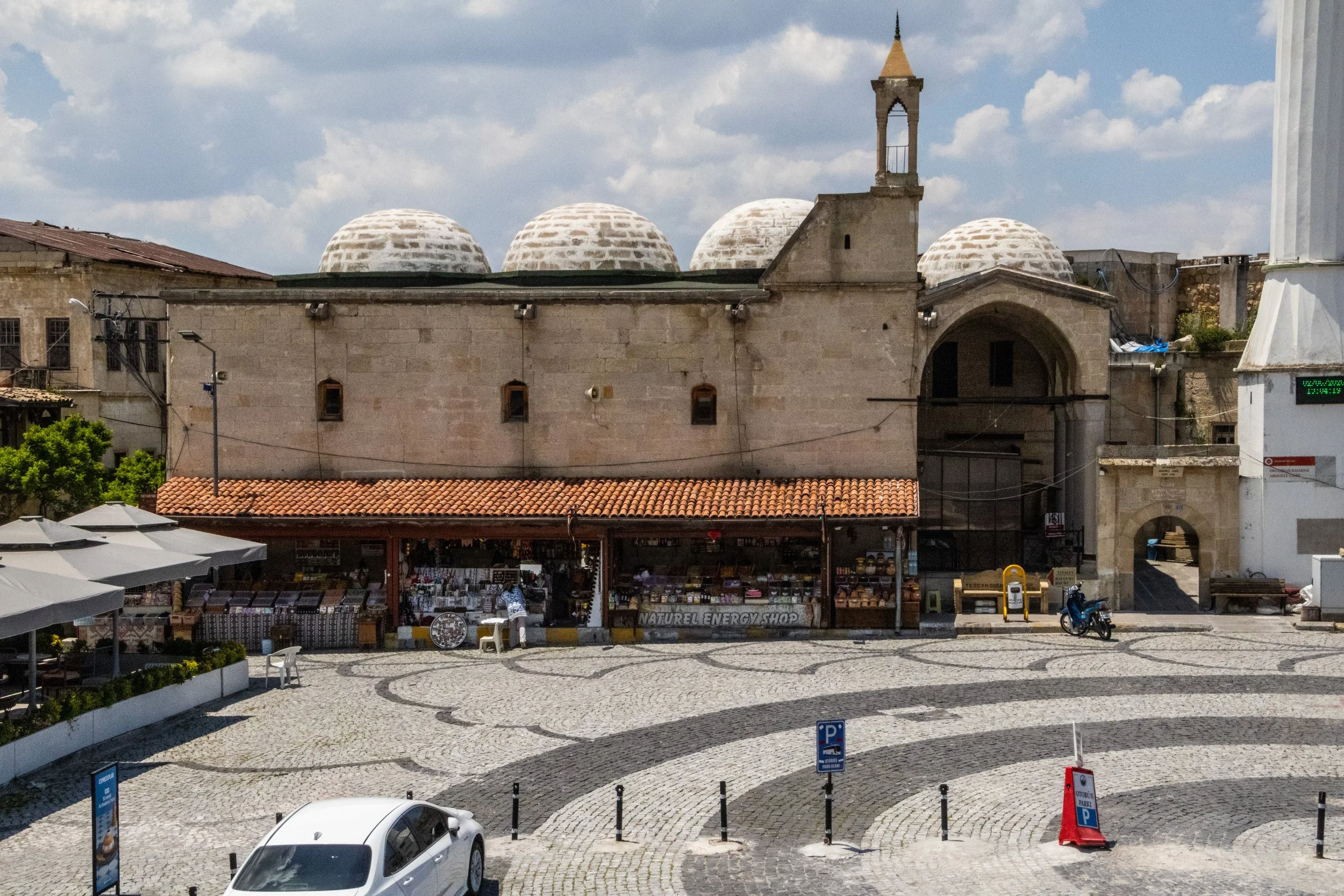
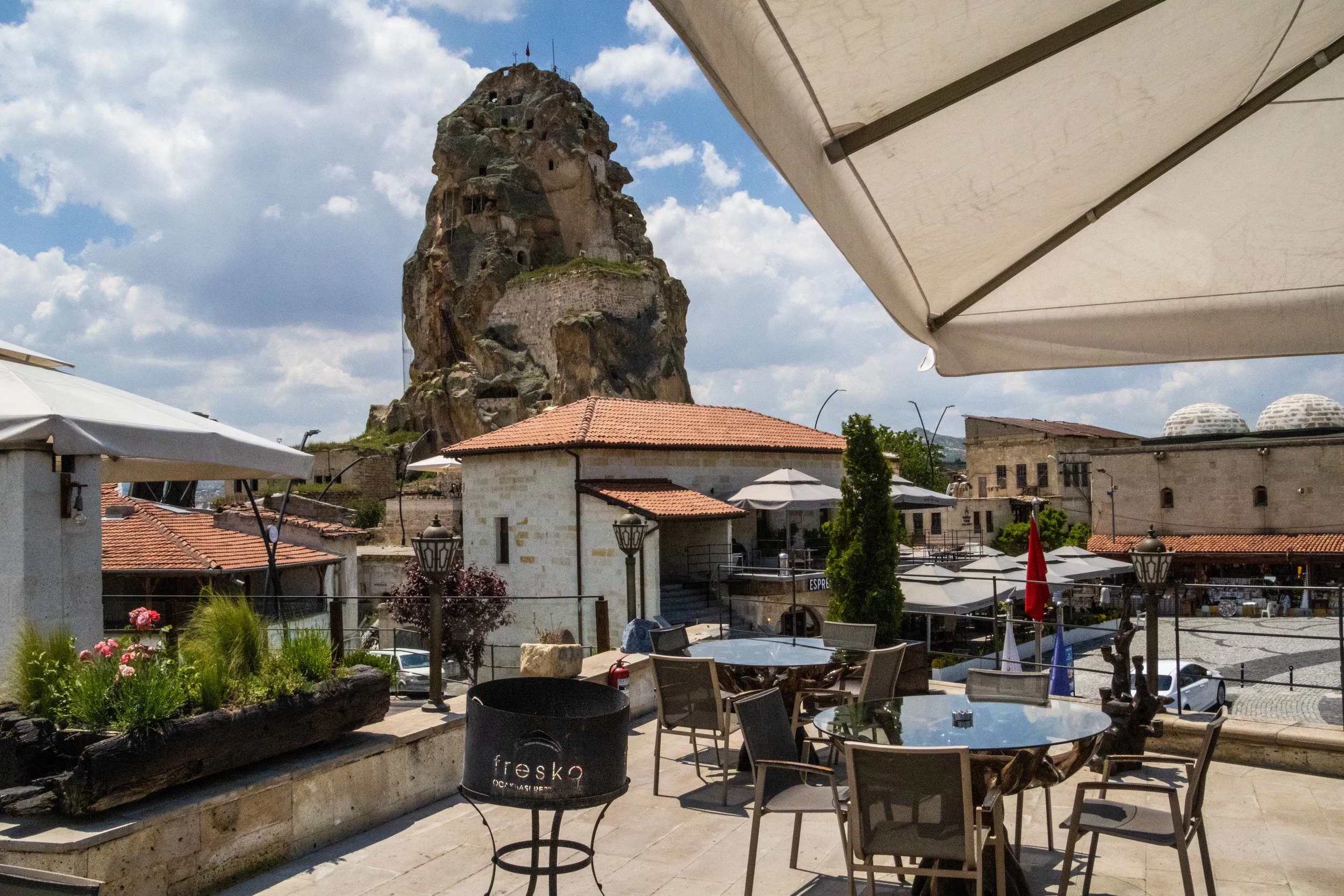
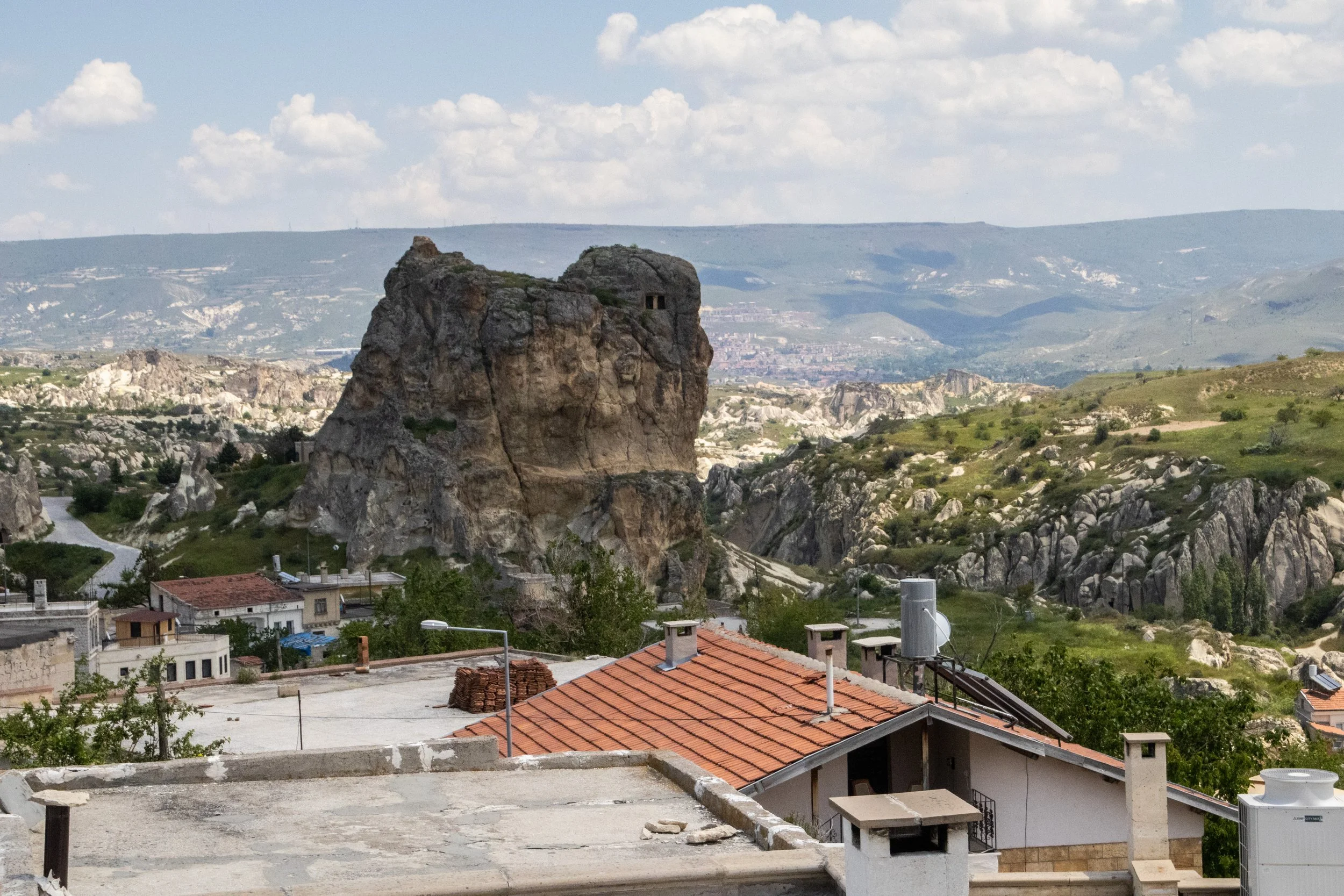
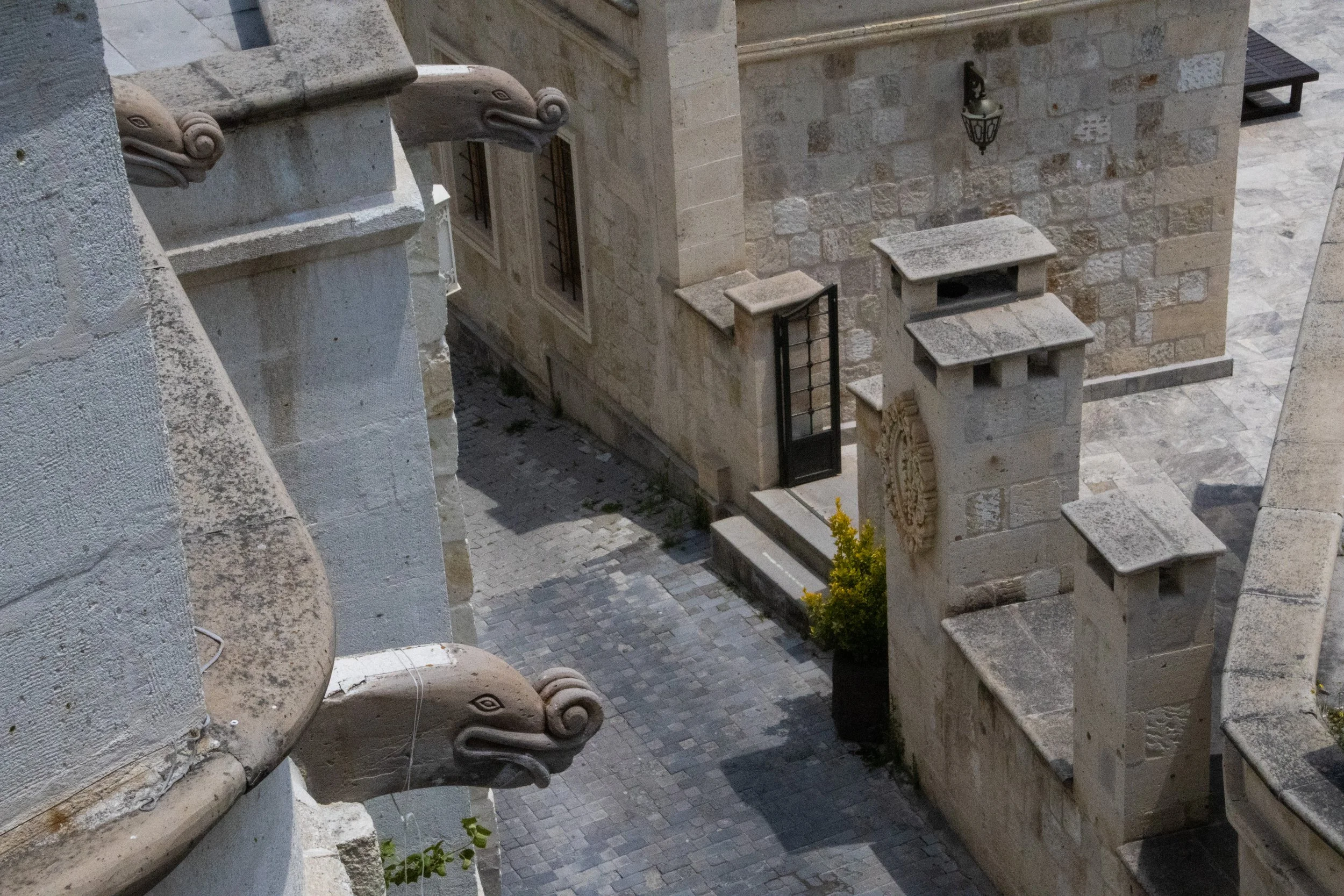
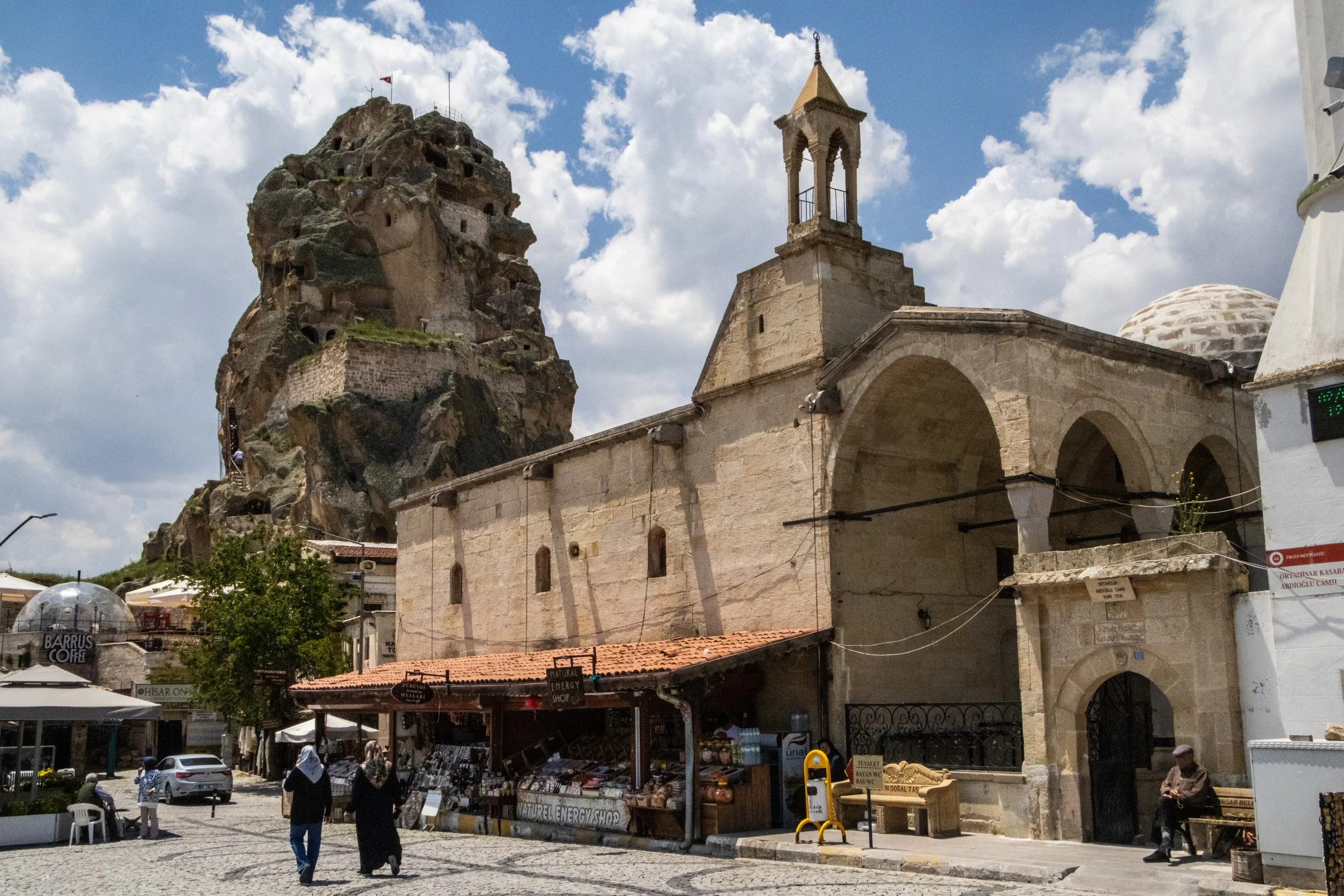
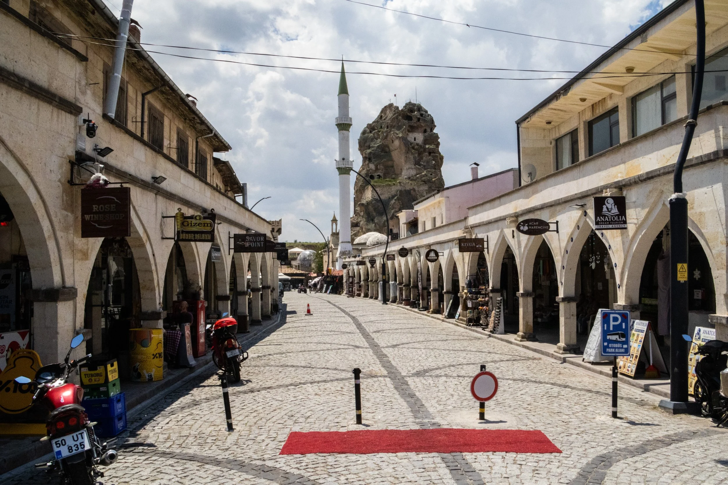
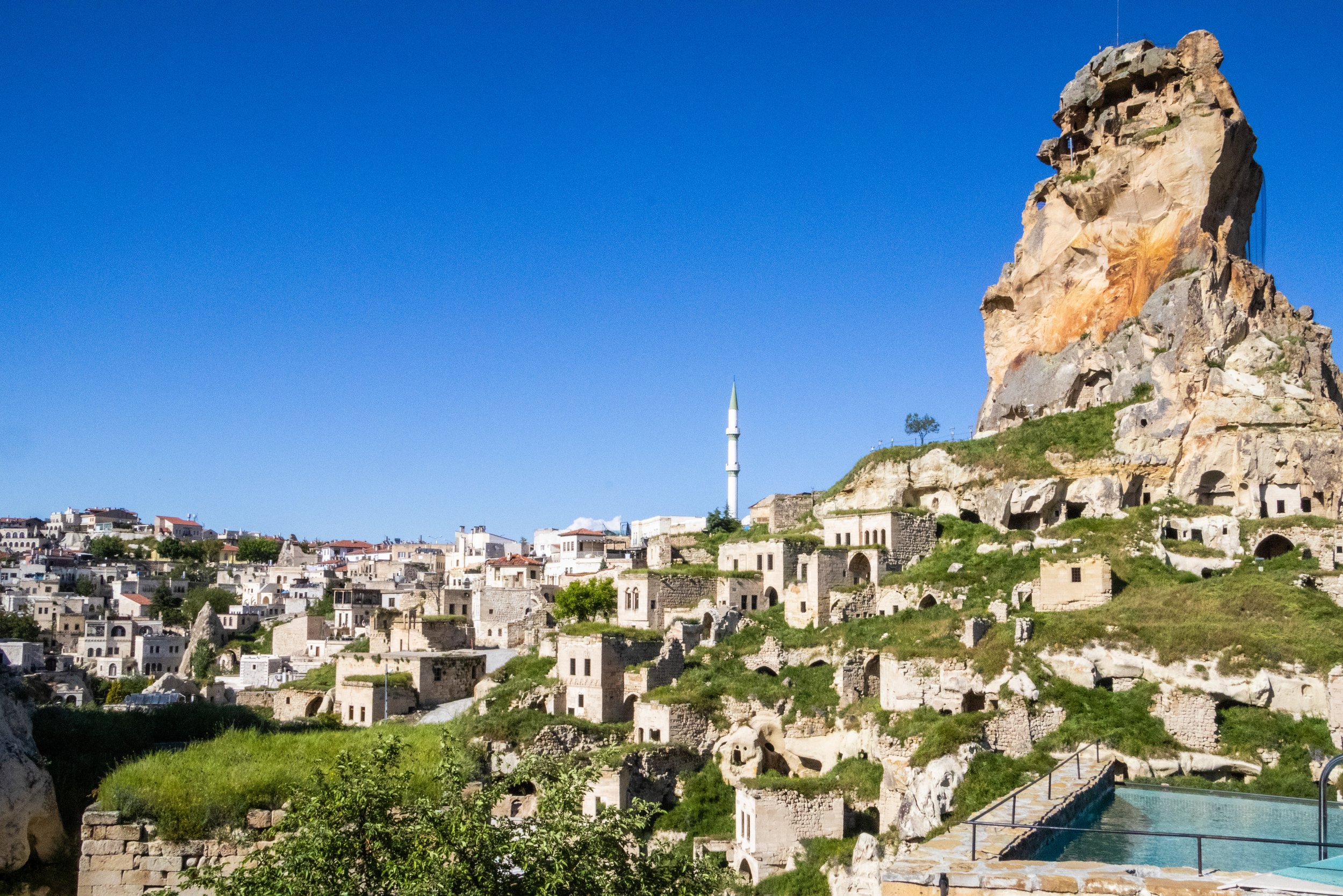
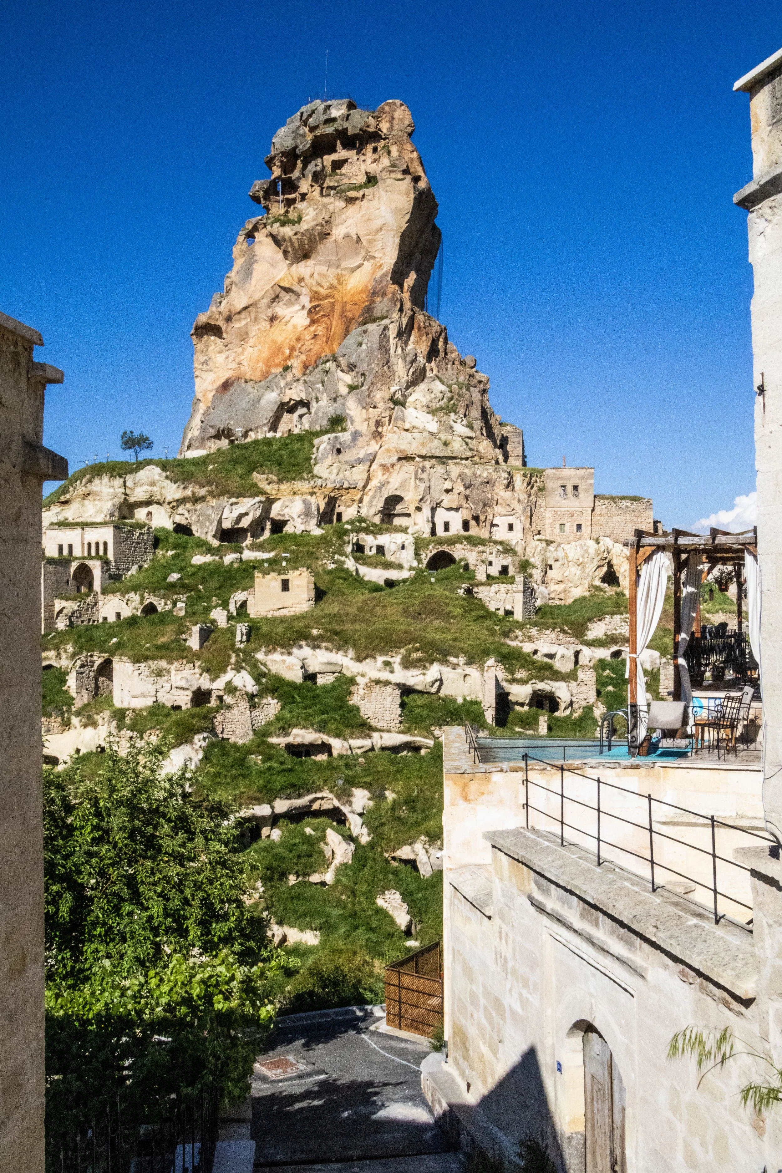
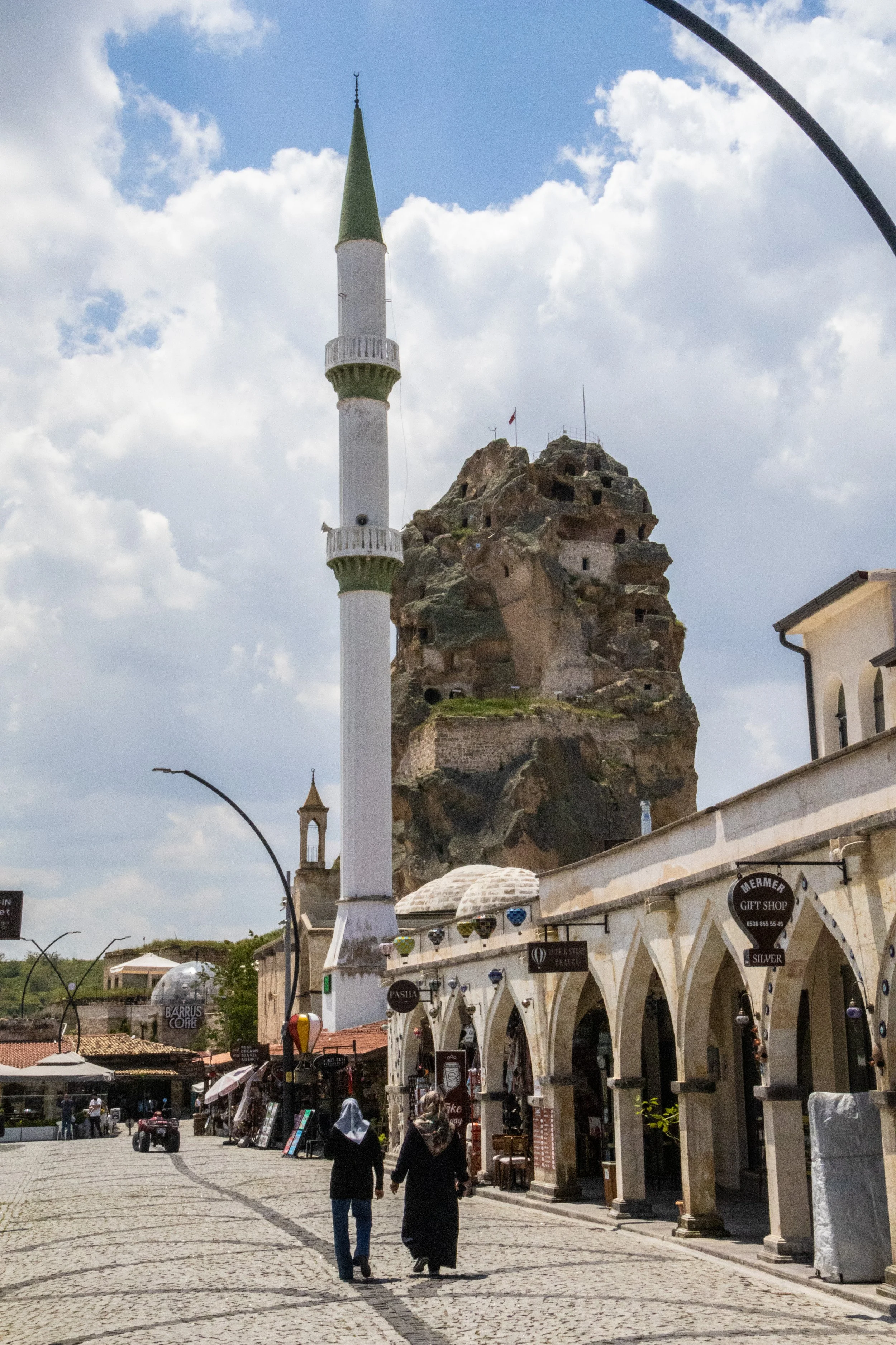
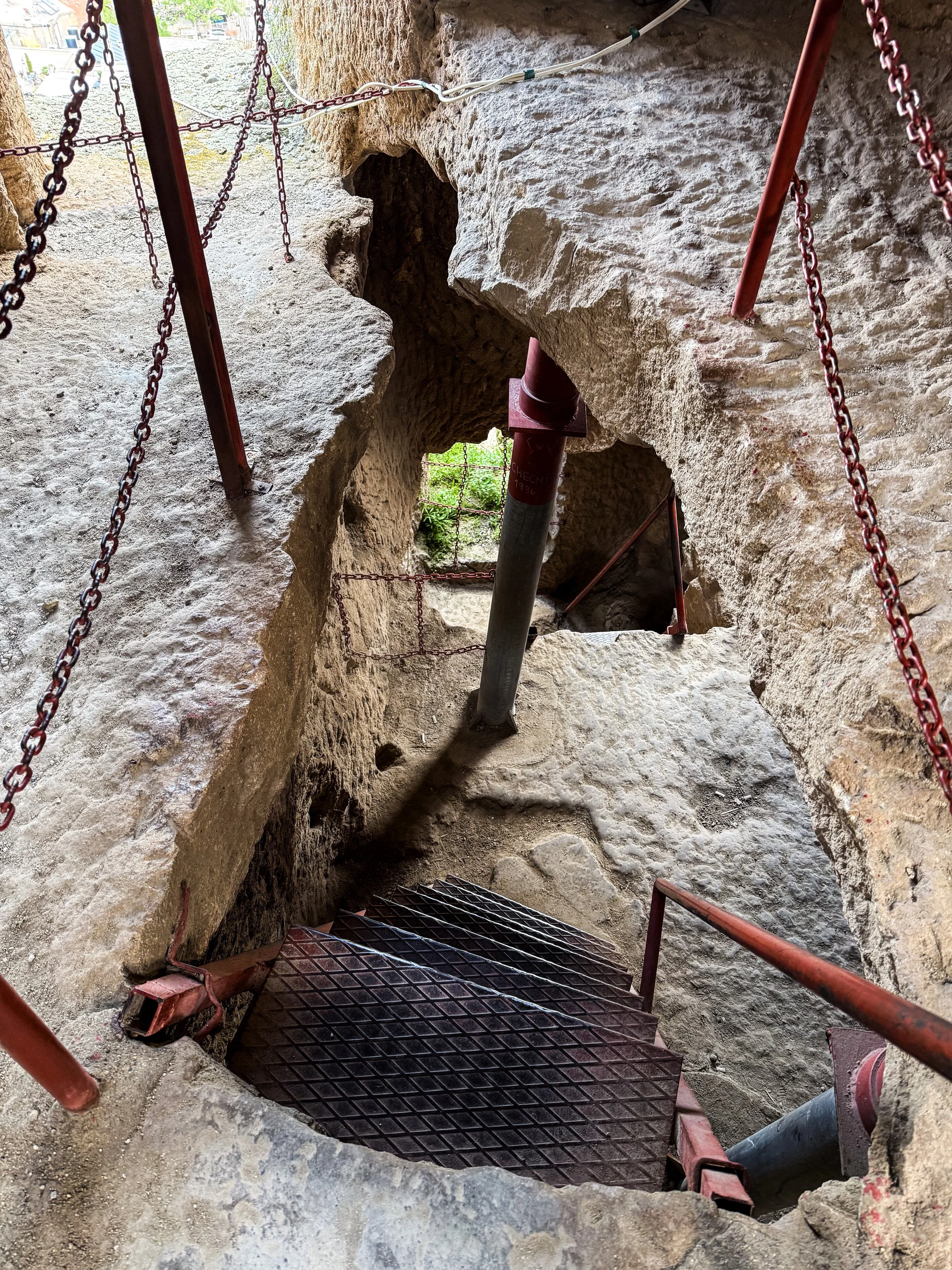
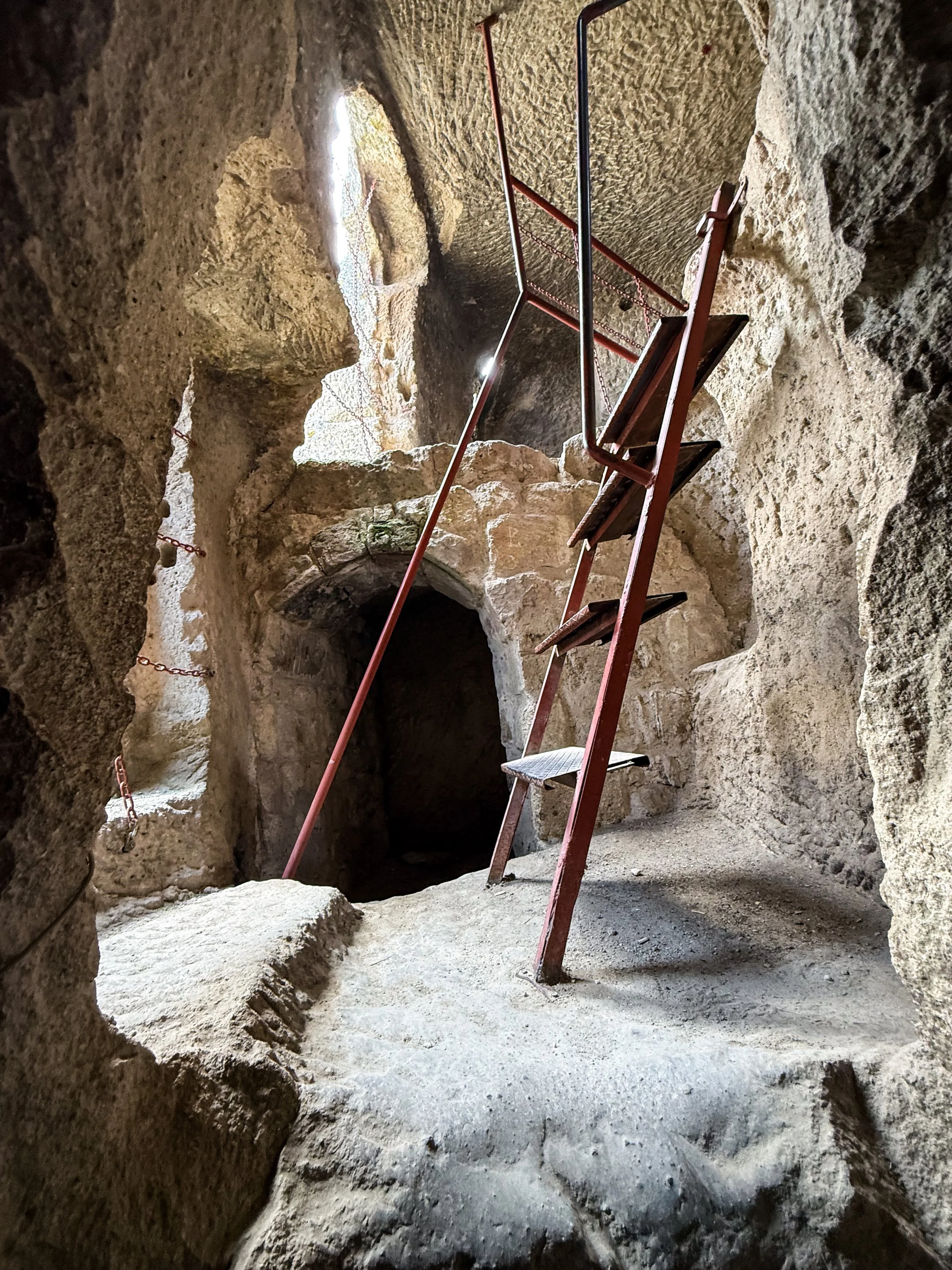
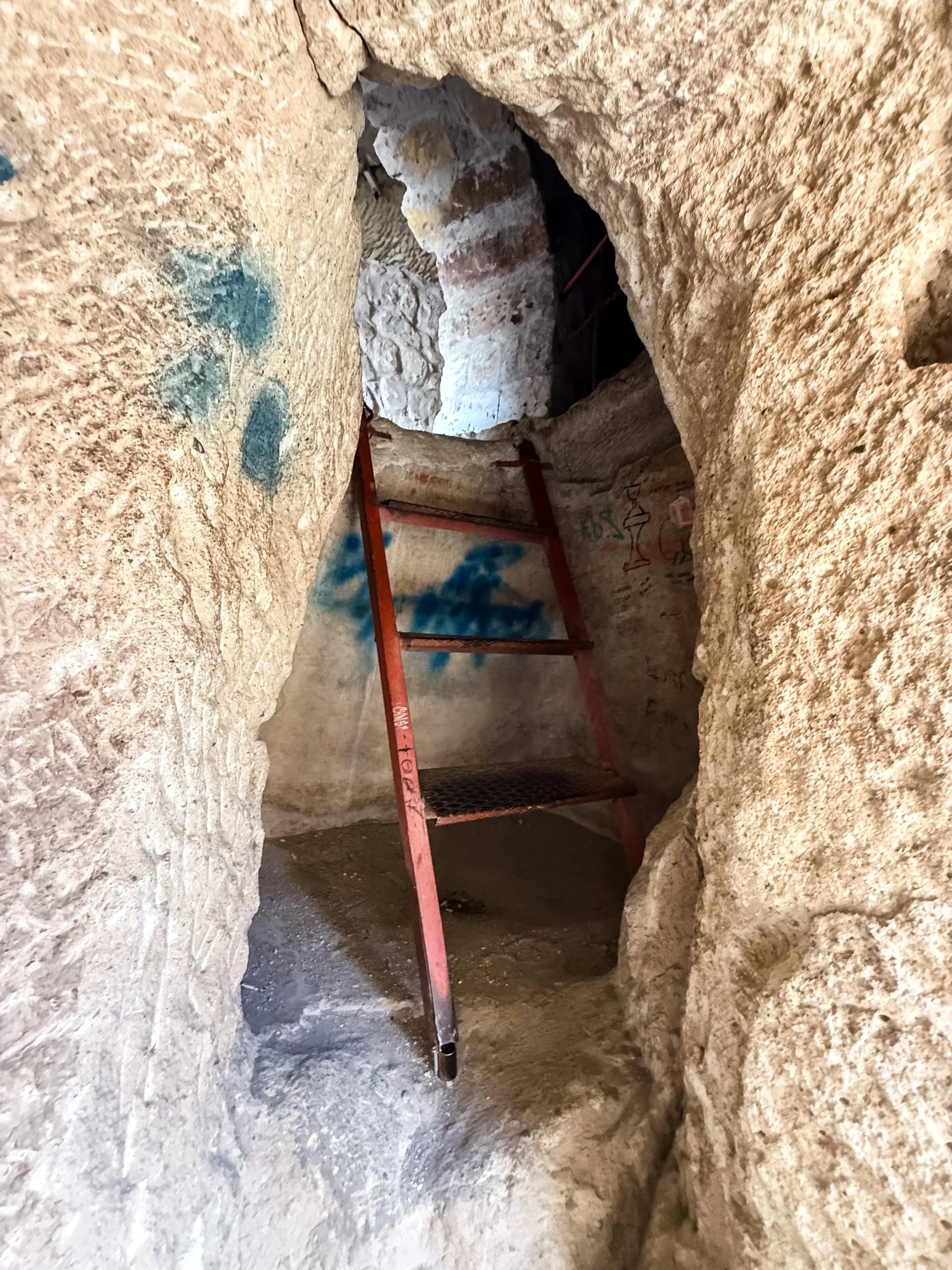
But a visit to Ortahisar would not be complete without making the ascent to the top of Ortahisar Castle. This castle has been carved into the top of a vertical rock spire remaining from the volcanic activity mentioned previously. Apparently, the rock in these sorts of formations is relatively soft, which made it easy for the early inhabitants of this area to hollow them out like enormous beehives. Indeed, this giant rock thumb is riddled with ancient chambers that all served various purposes to its original builders, thousands of years ago. But who exactly built this? Well, it’s definitely too old to have been the Turks, but beyond that there is apparently some uncertainty here! Current consensus seems to be that it was the Hittites.
The climb to the top of this thing is not for the faint of heart. There are some sections where you have to trust rusty, old staircases that were bolted onto the side of sheer rock faces. With the wind to throw you off balance occasionally, this part of the climb took a bit of courage. But the most precarious sections are right at the beginning, before the heights become truly dizzying. The top of this castle is 86 meters (~282 feet) above the ground below.
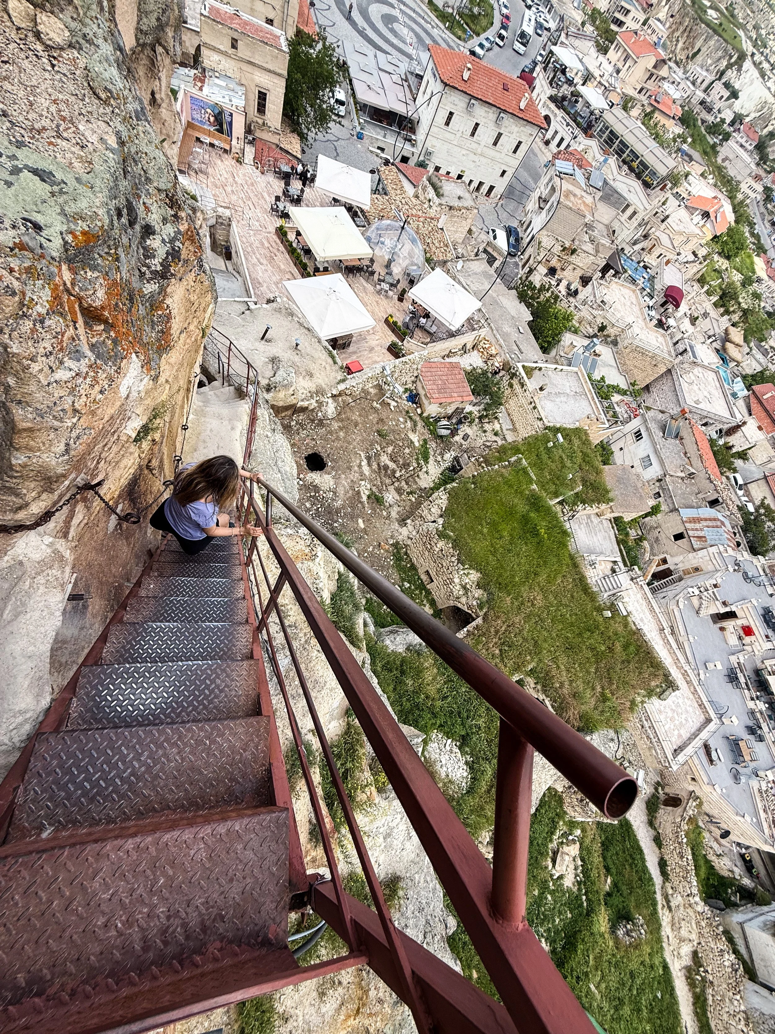
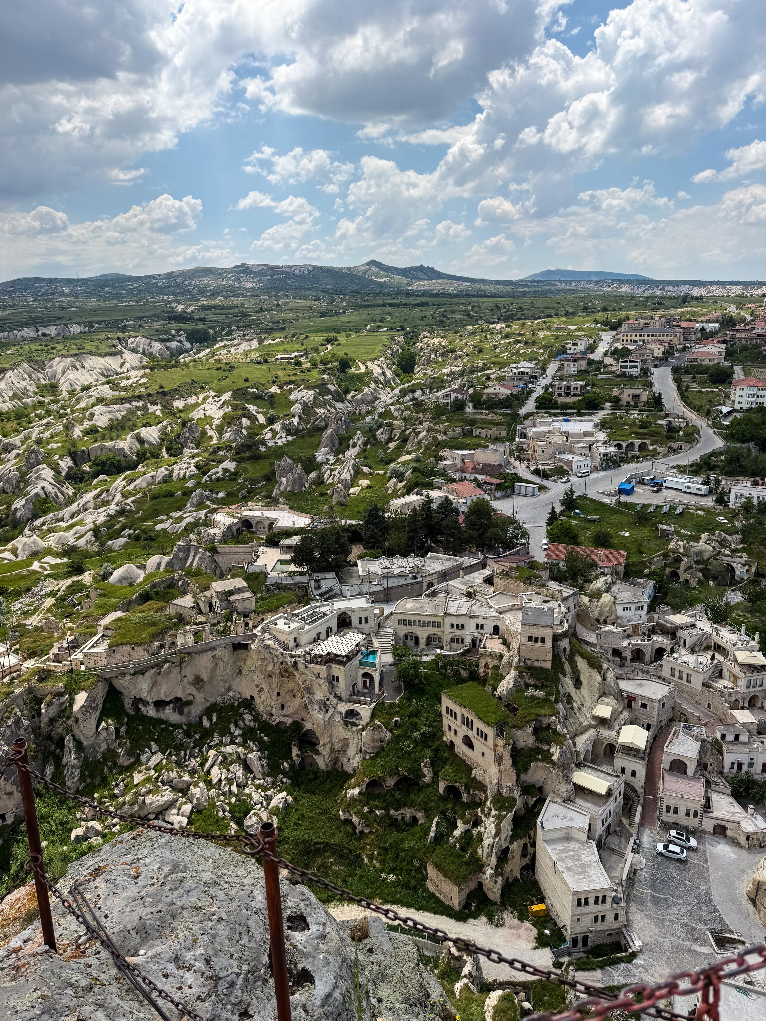
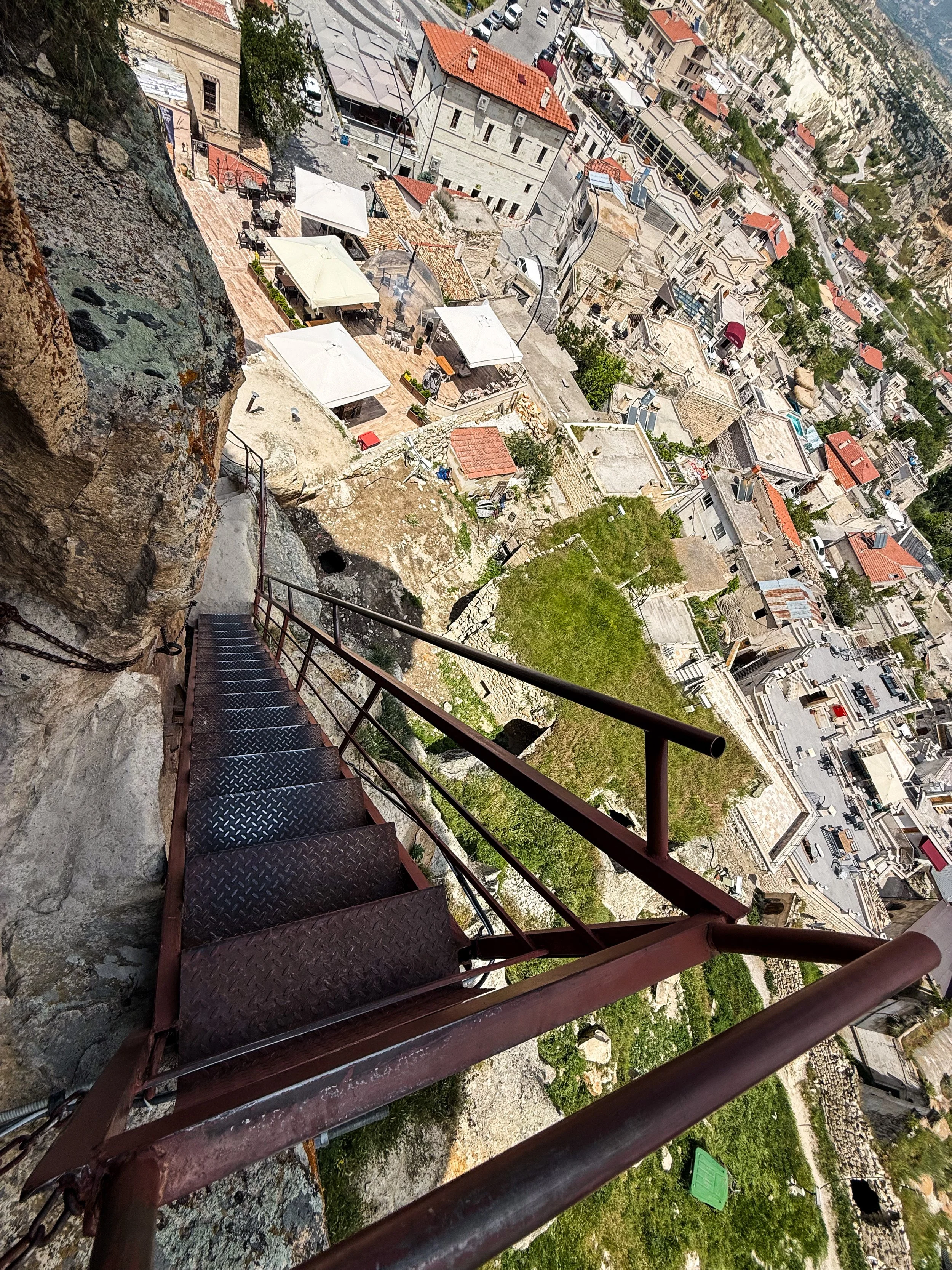
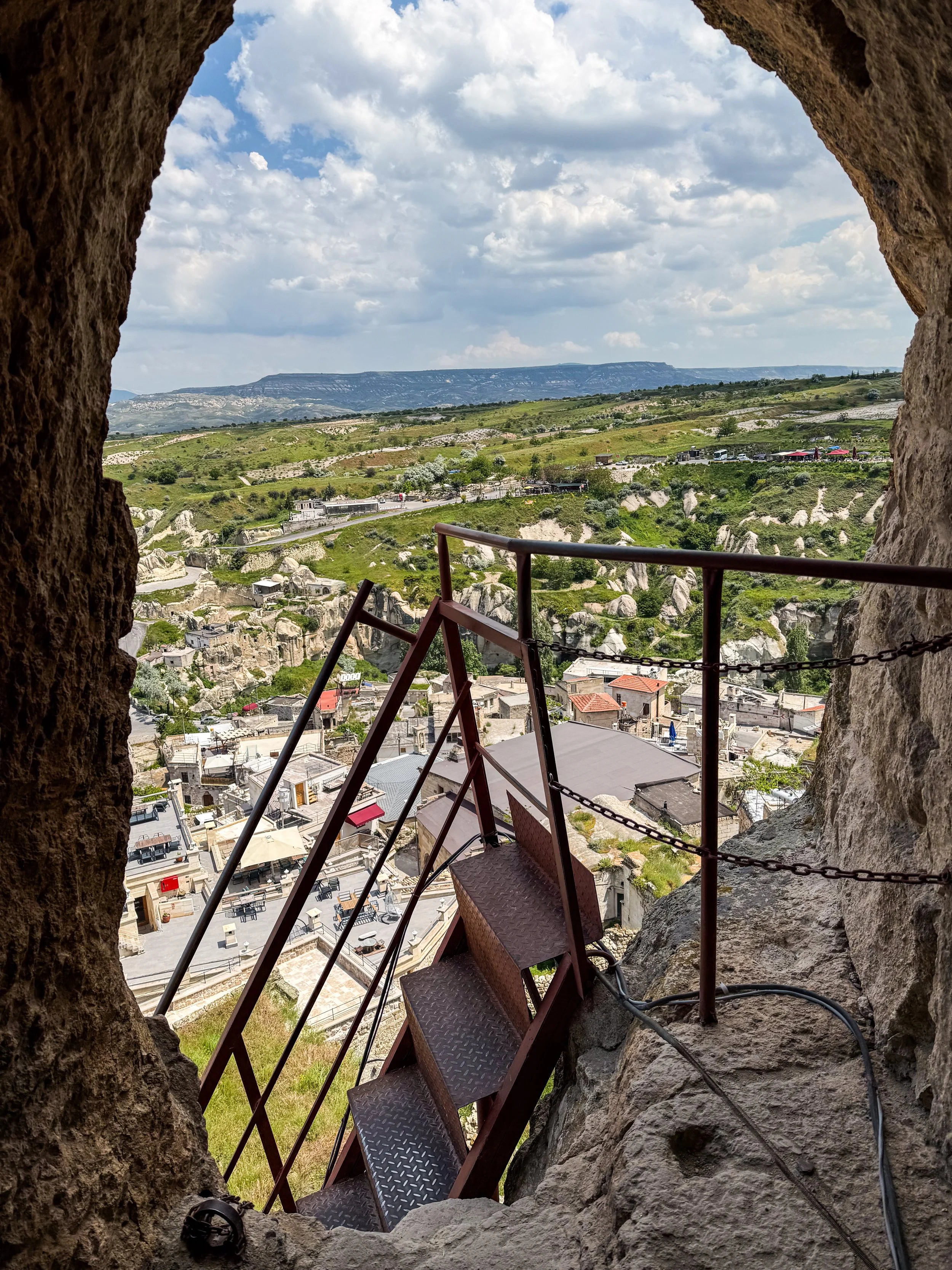
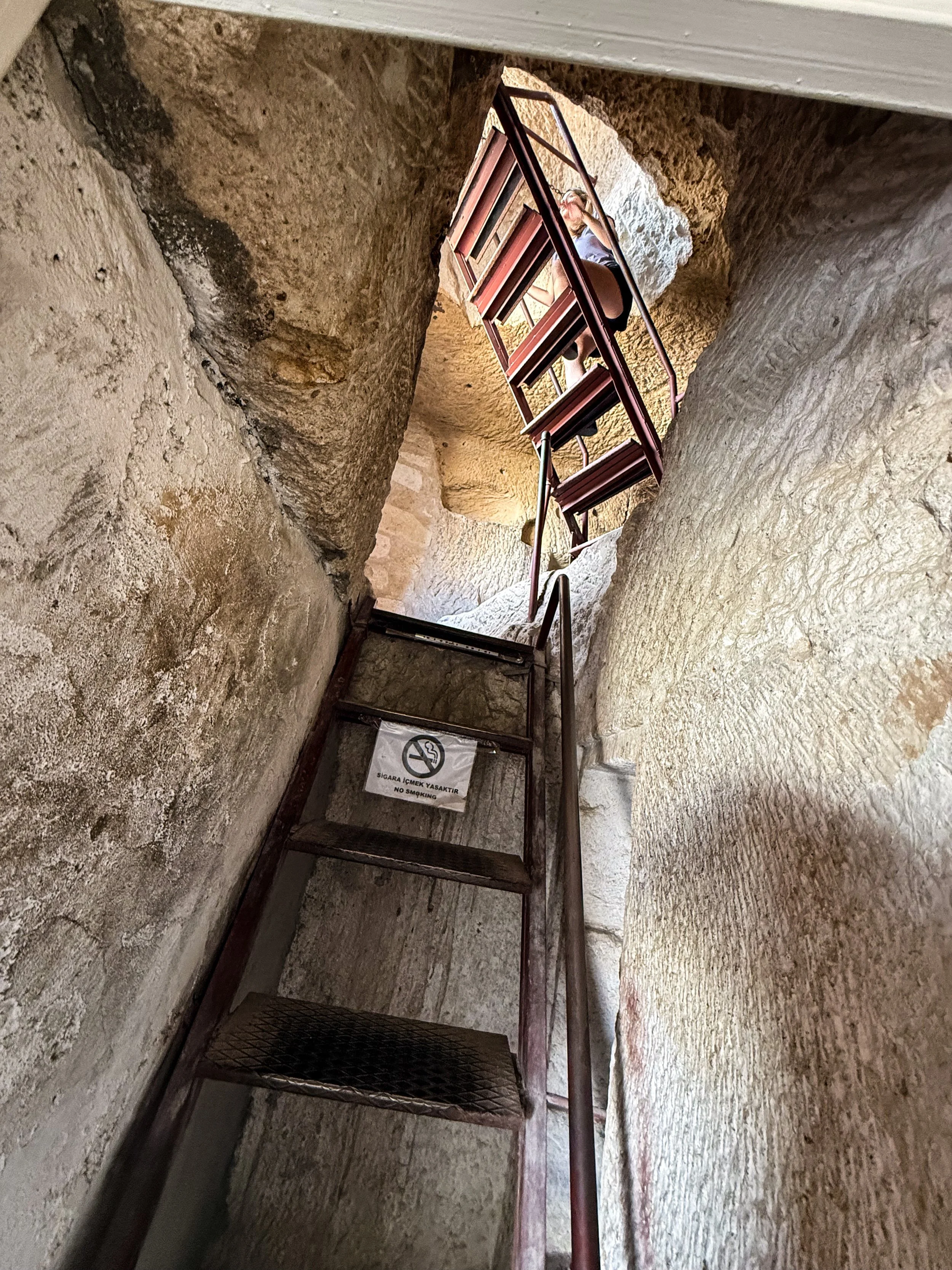
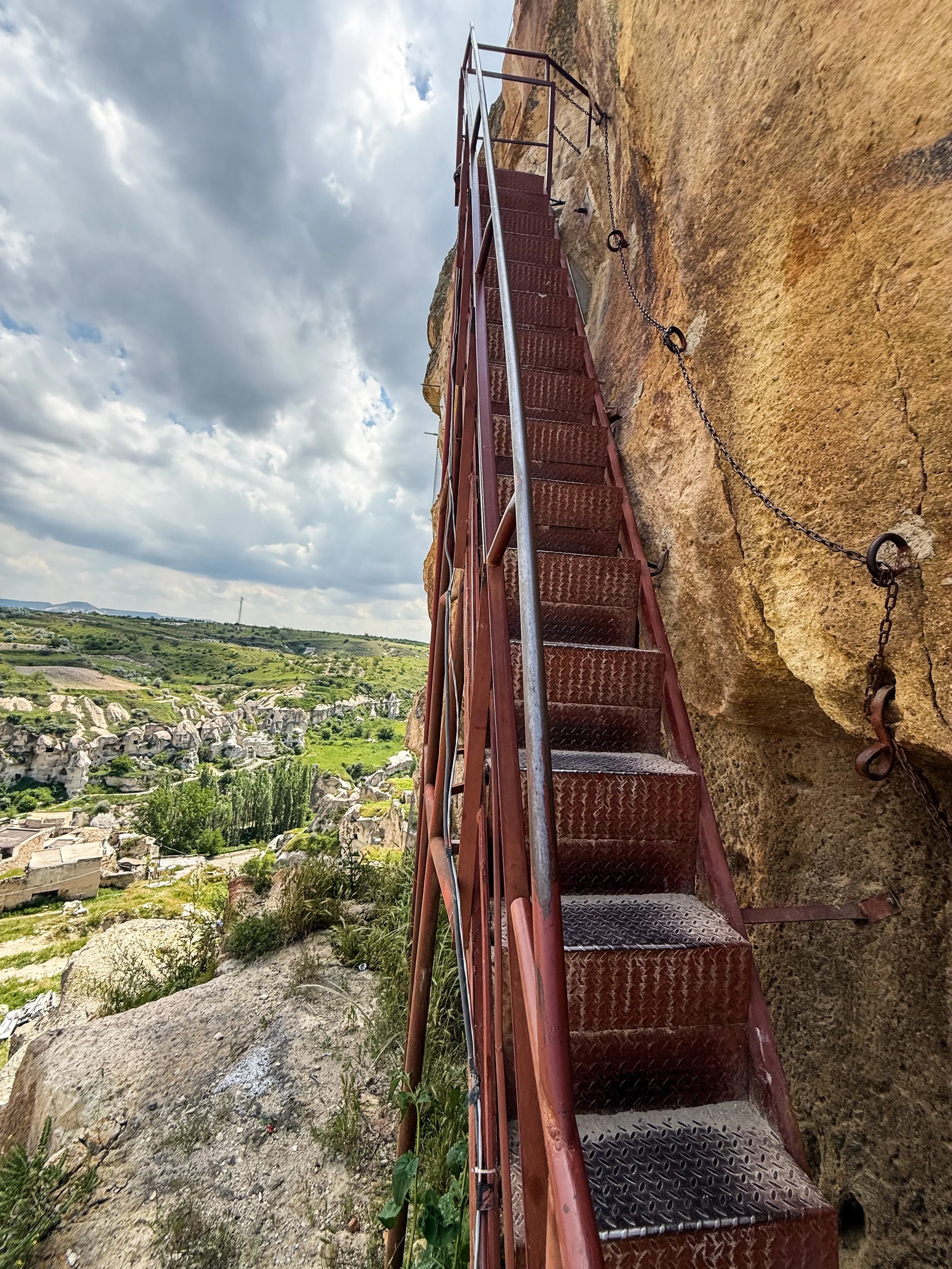
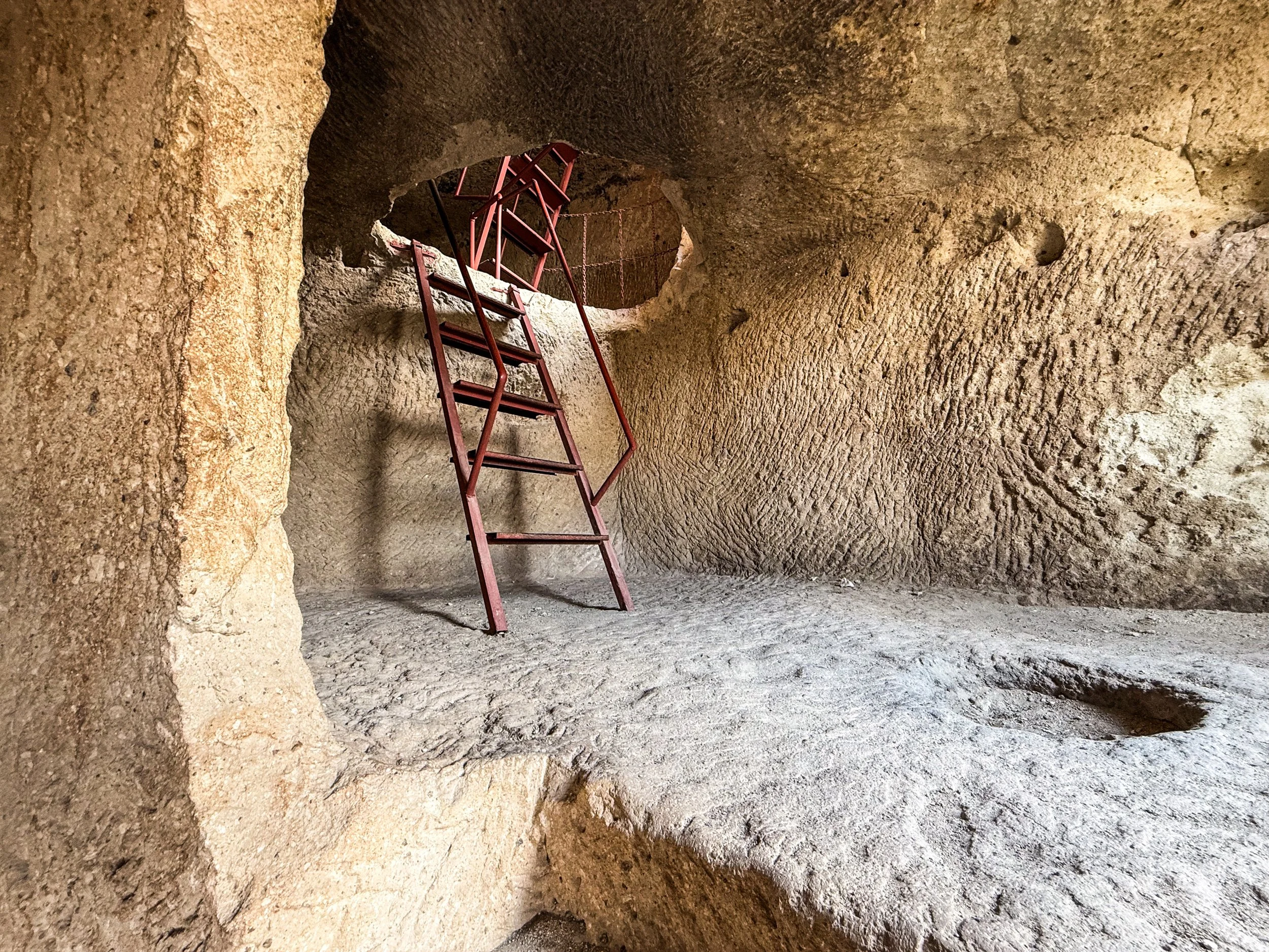
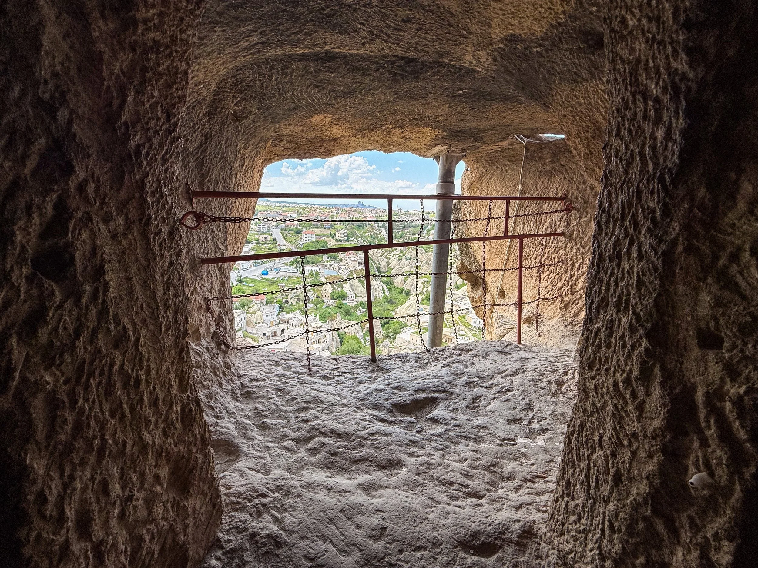
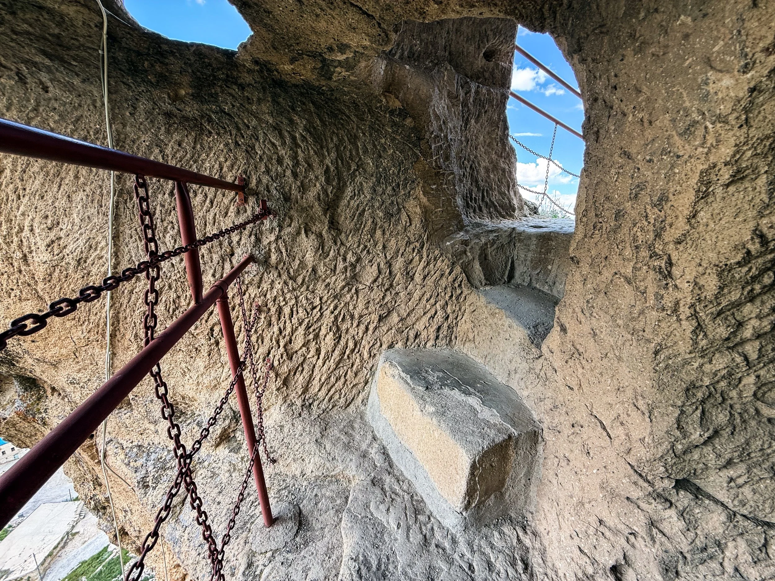
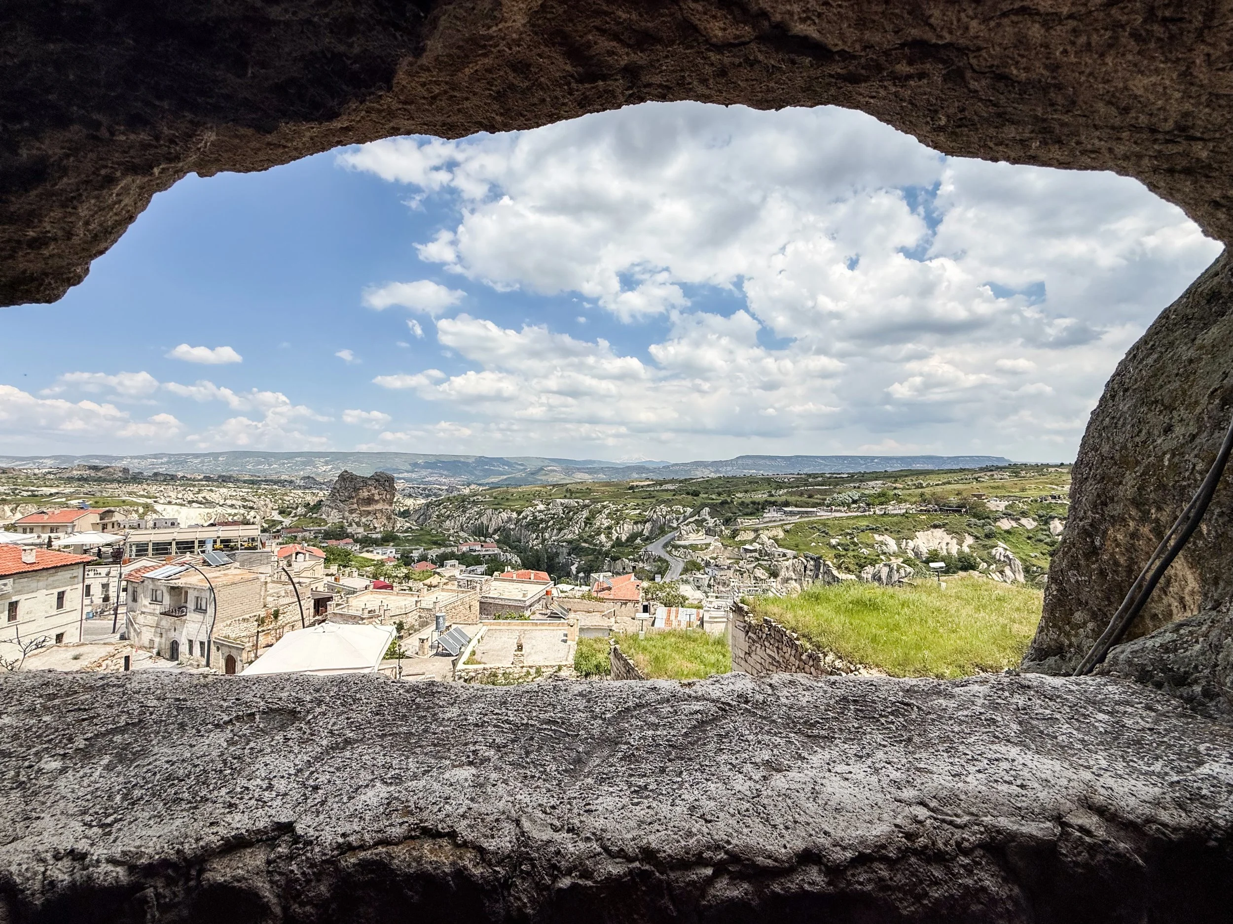
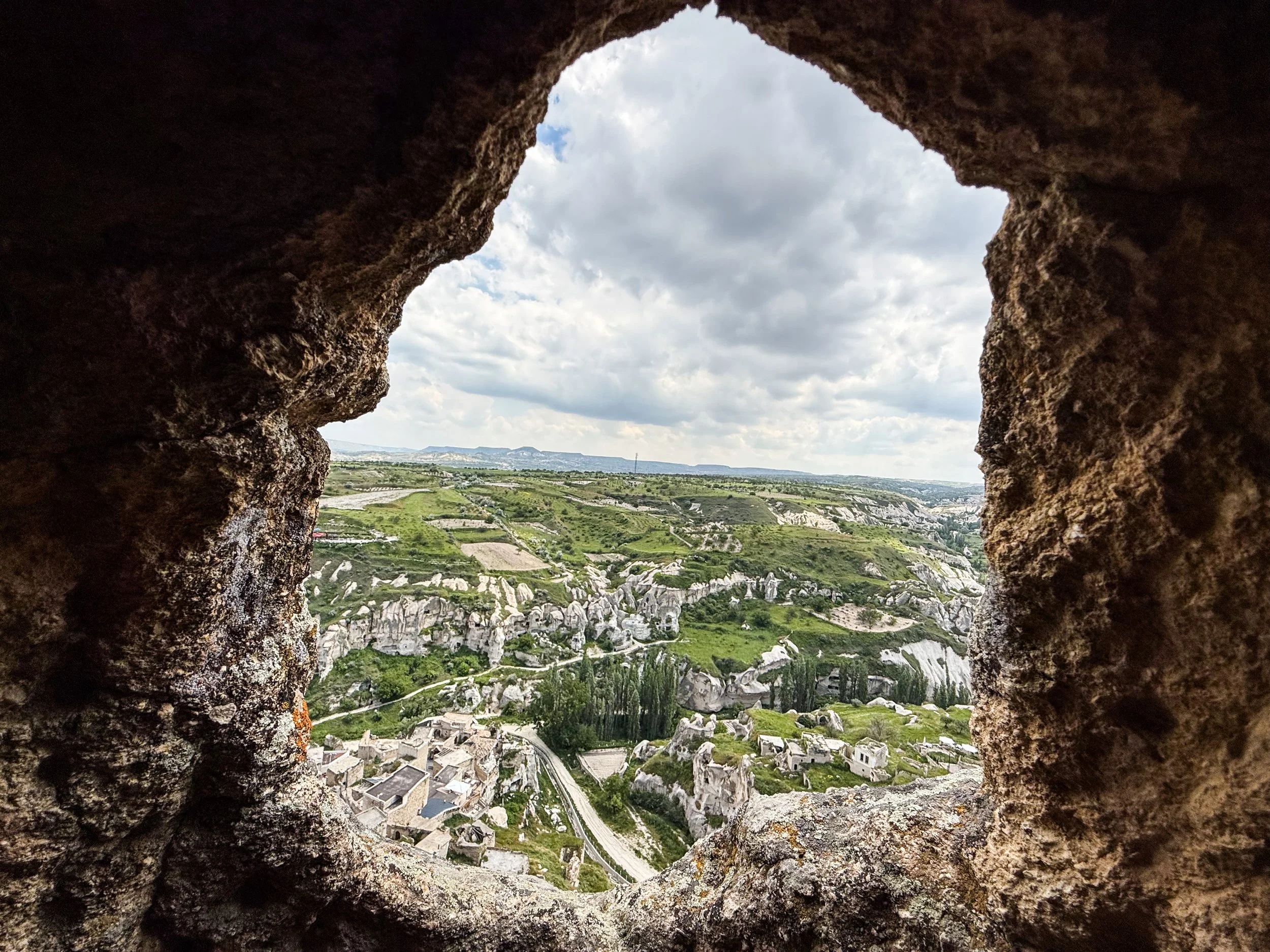
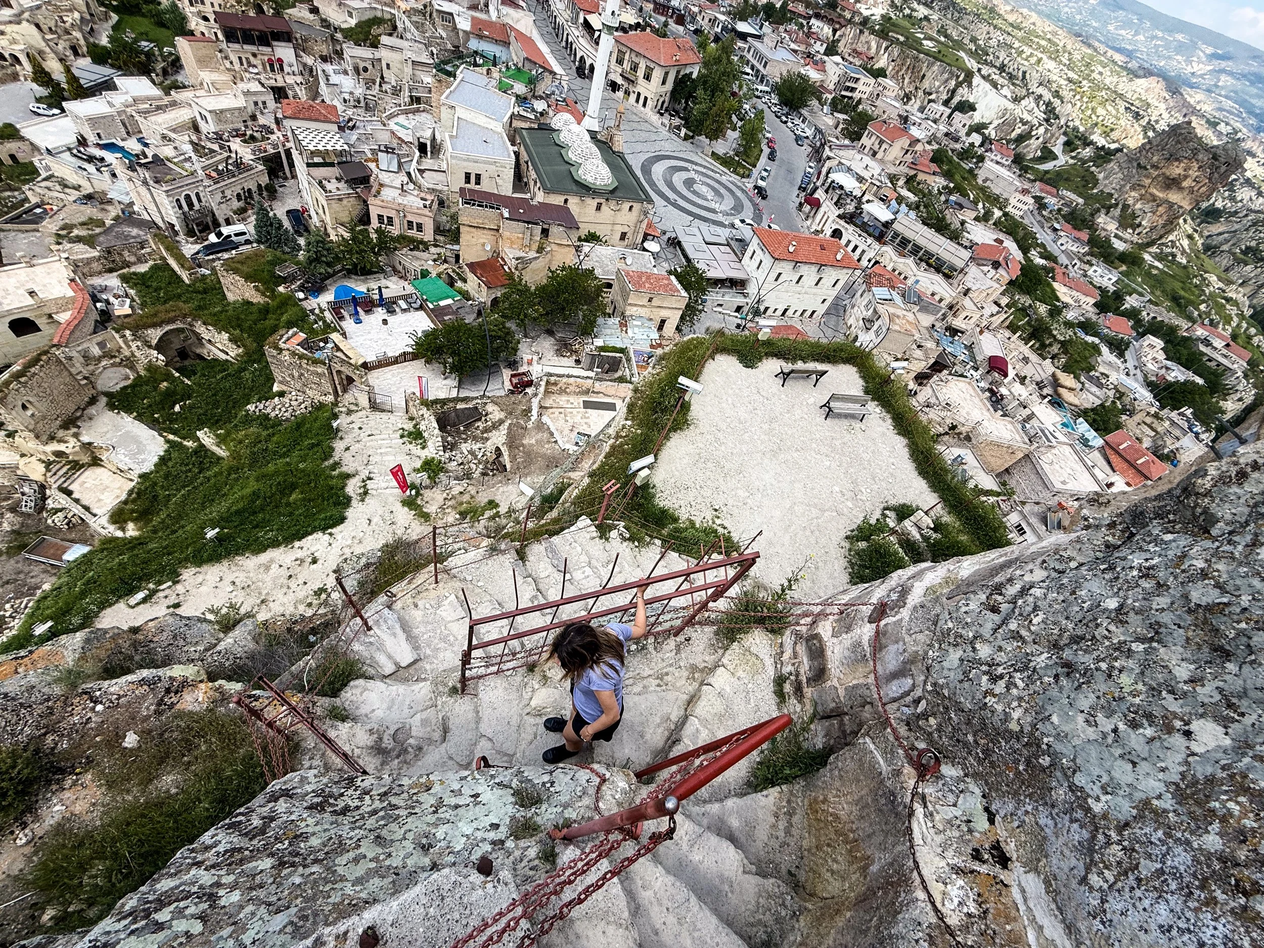
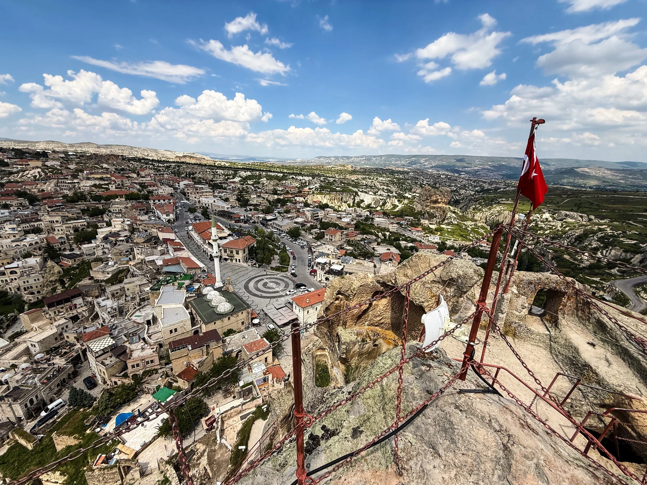
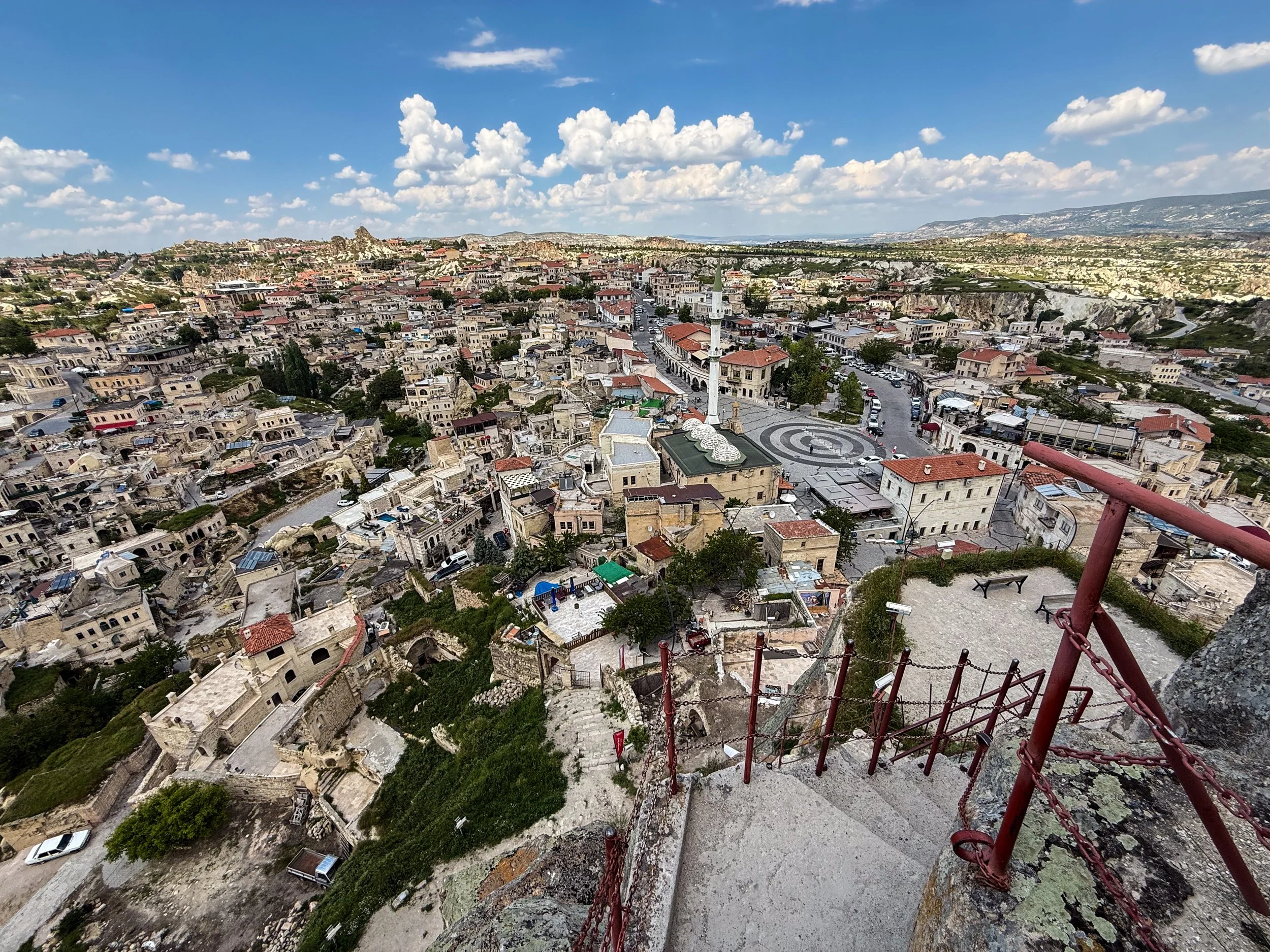
Funny detail: on Google Maps, one of the user-uploaded photos is a video, apparently uploaded by a couple, where the boyfriend—a tiny speck off in the distance—is waving down to the girlfriend from the top of Ortahisar Castle while she lays in the pool. It was very meme-able.
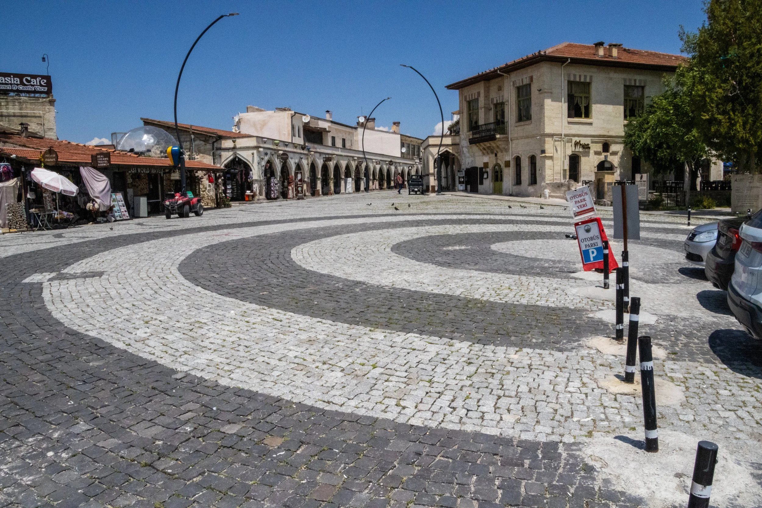
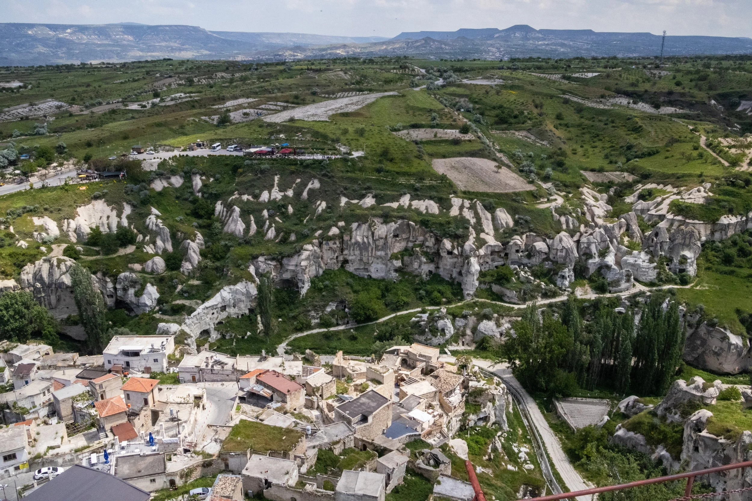
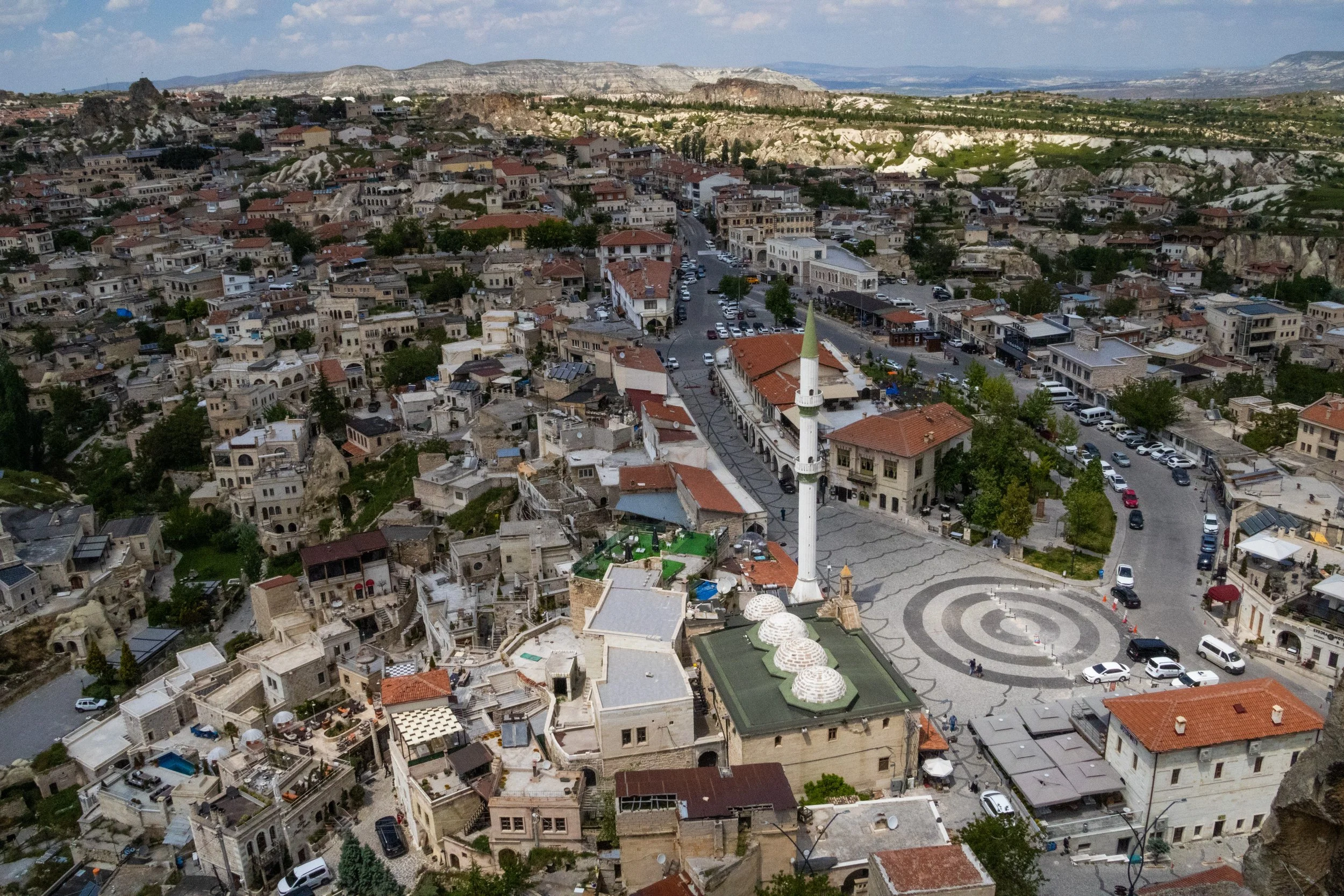
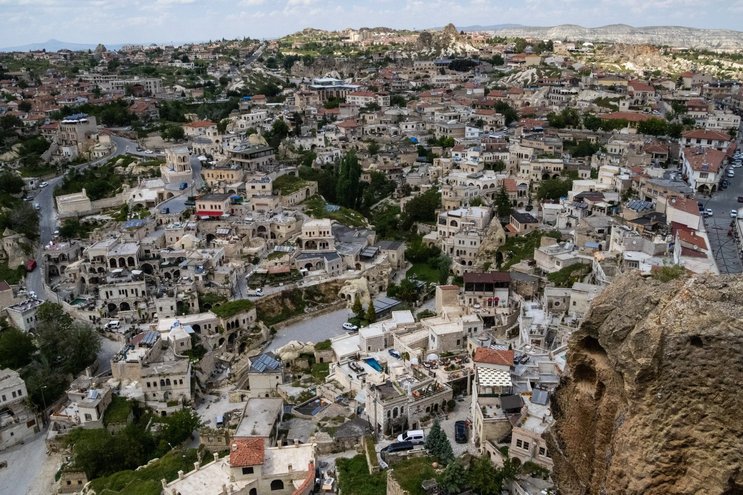
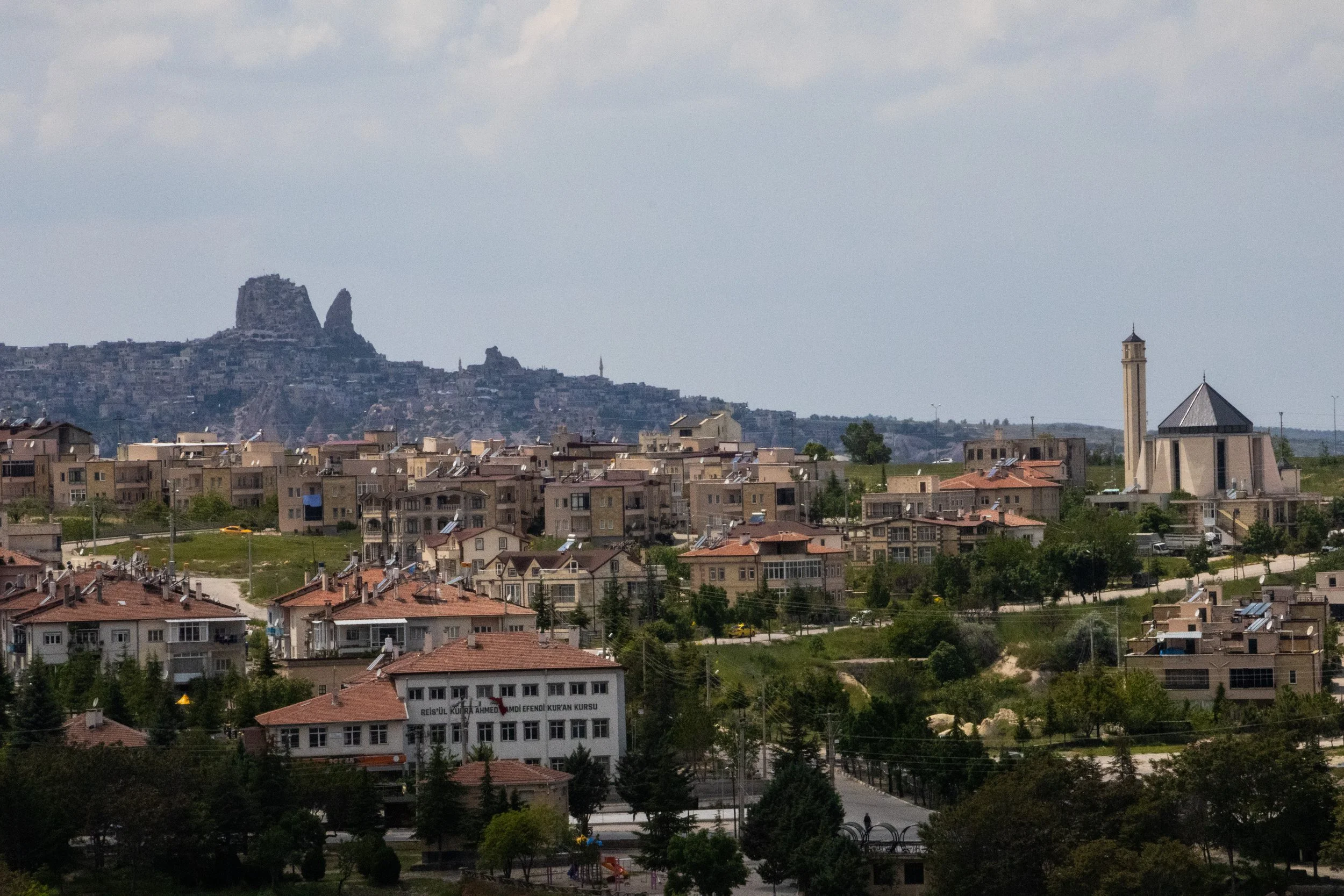
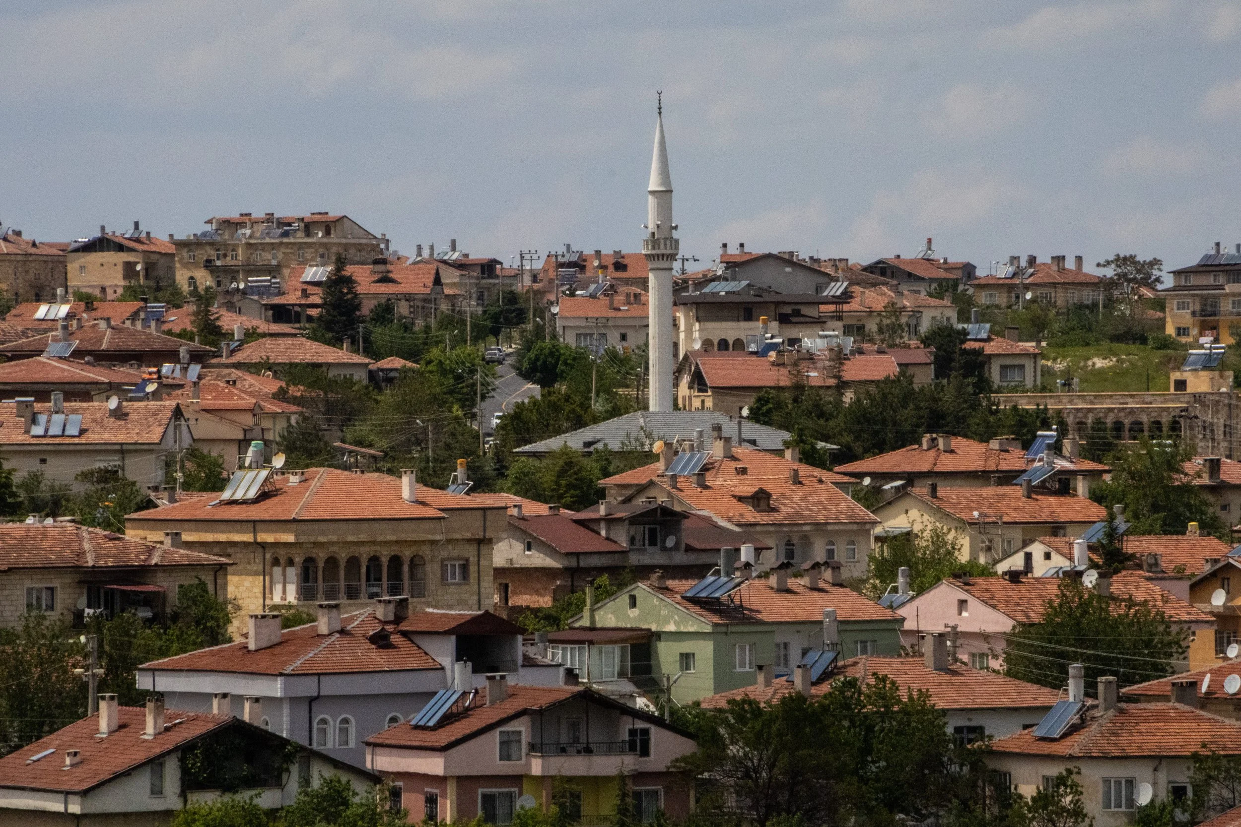
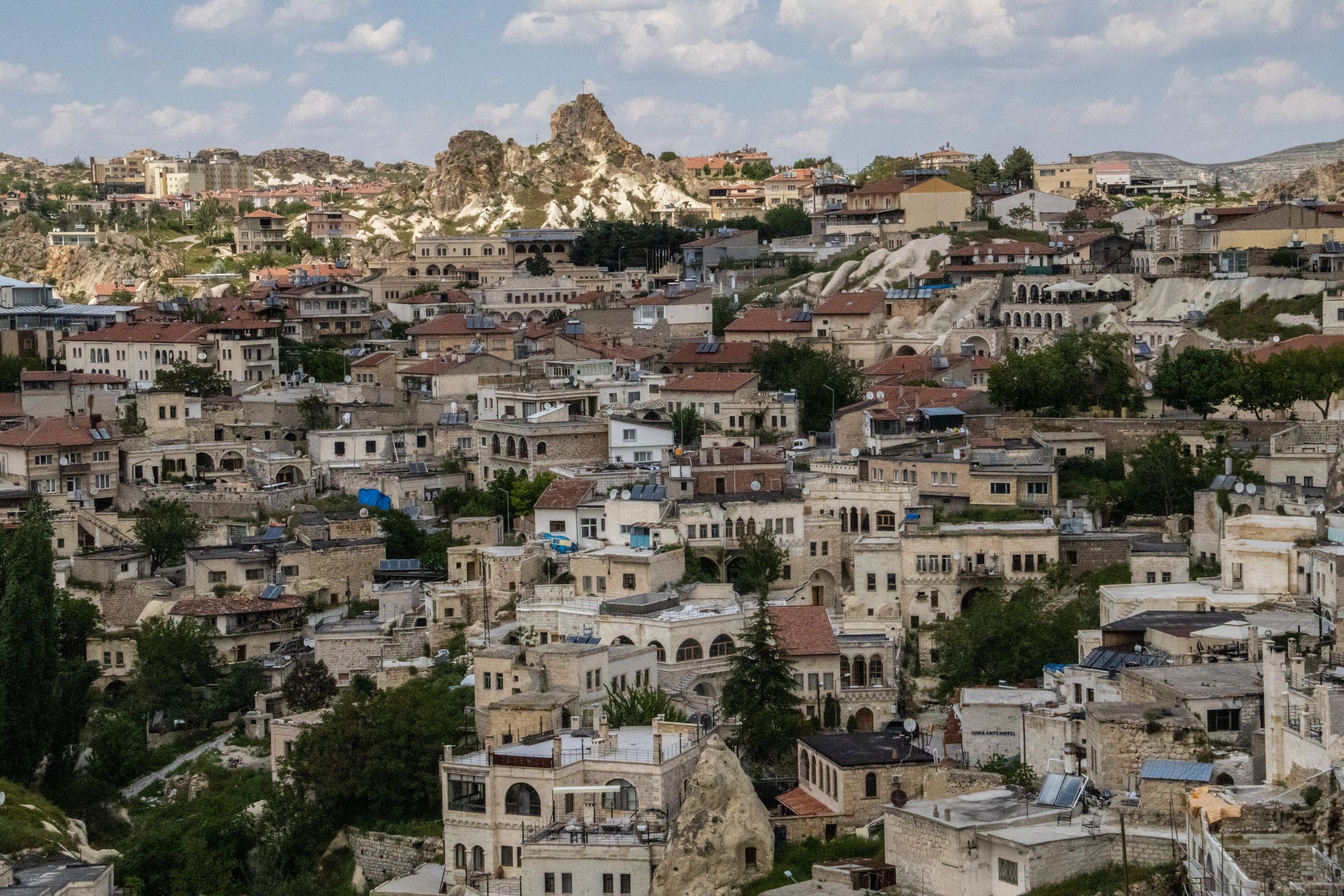
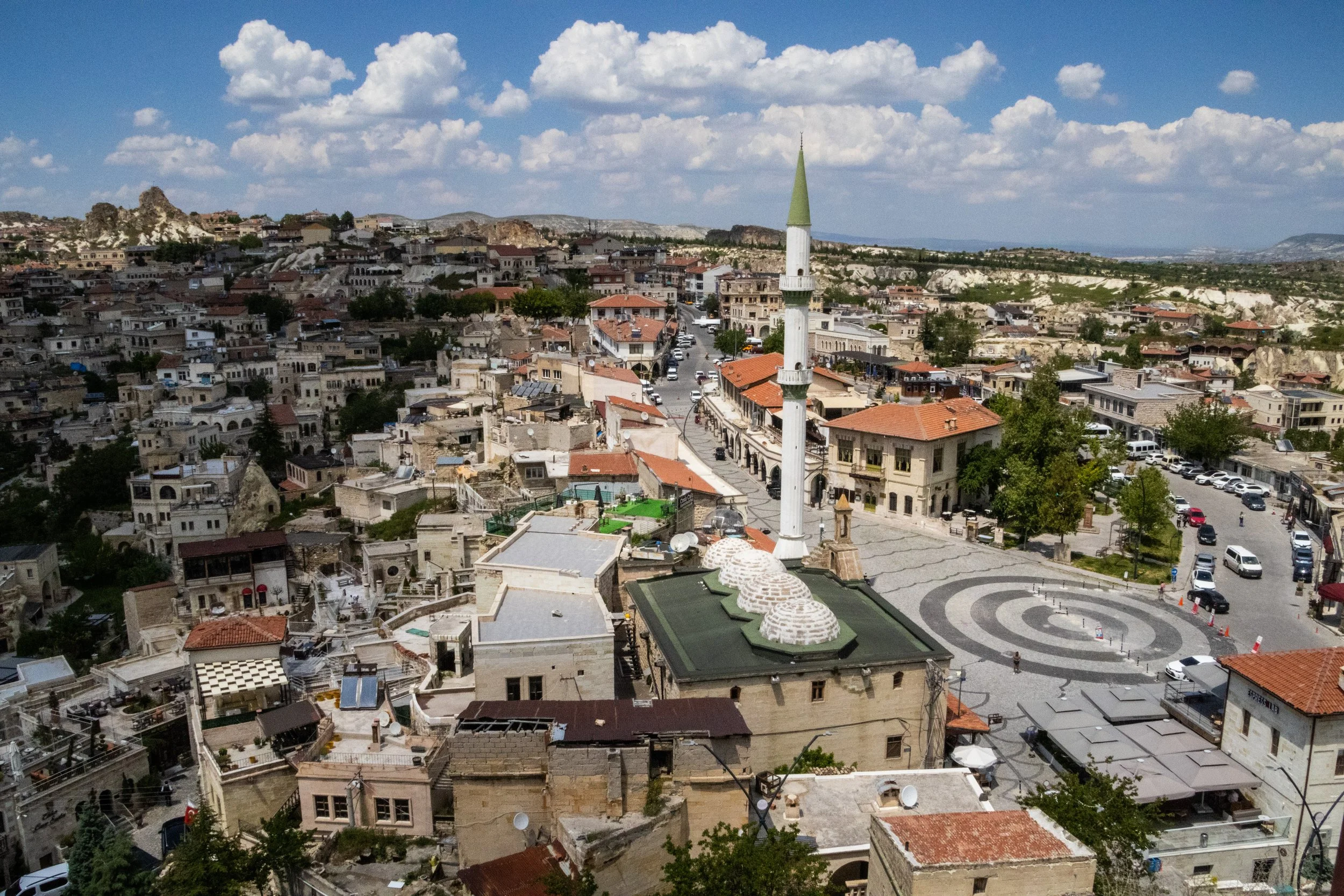
Anyway, the girl totally missed out, because there is a great panoramic view of the surrounding landscape up here. I love the concentric circle design of the town square below. But what I want you to focus on most of all is that rock formation off in the distance, evoking images of the American southwest. That’s another volcanic rock formation-turned-castle. It’s called Uçhisar and it is our next destination.
Uçhisar
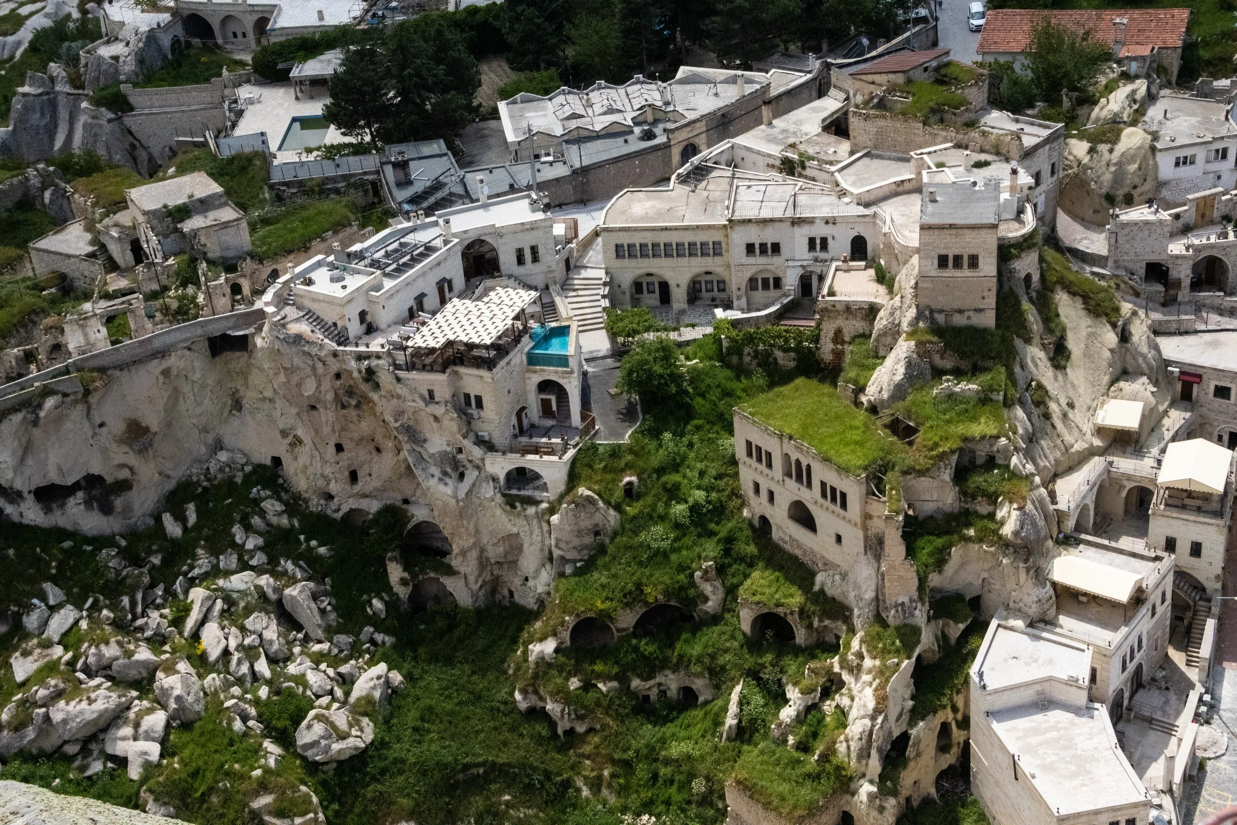
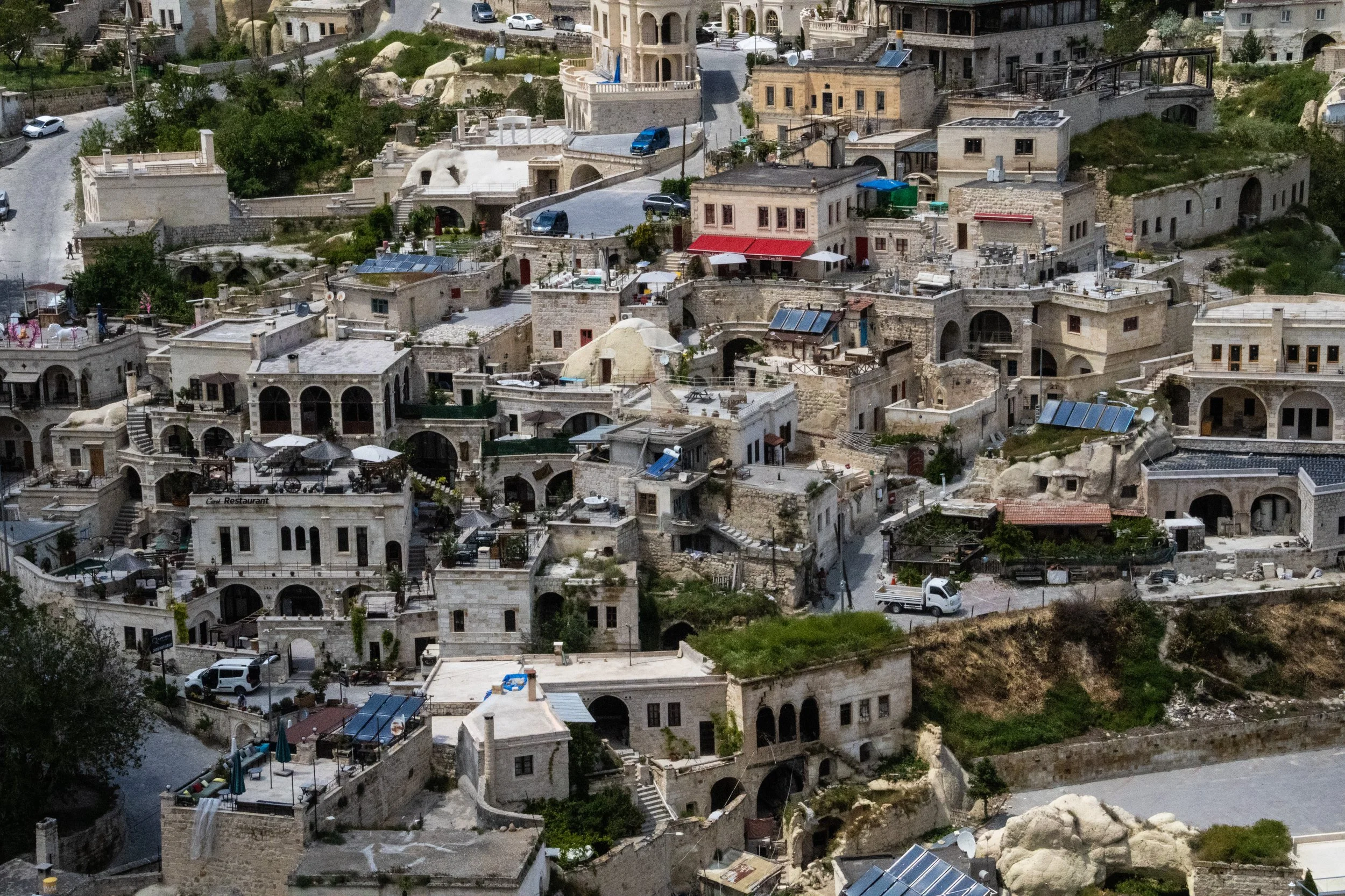
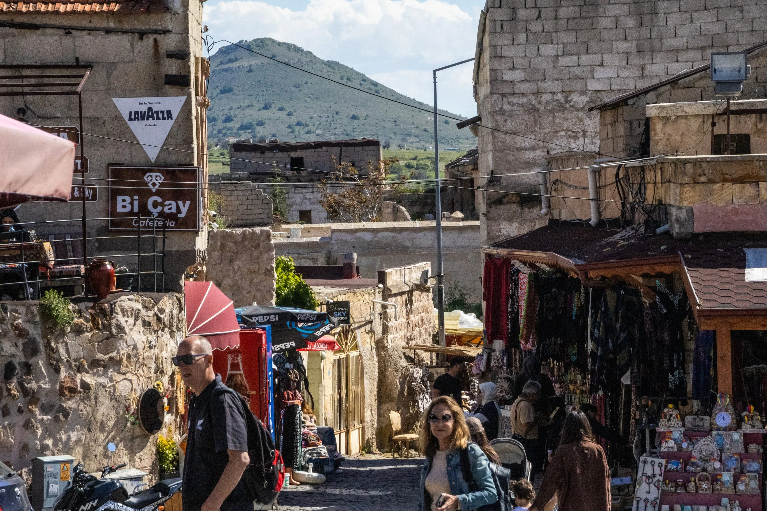
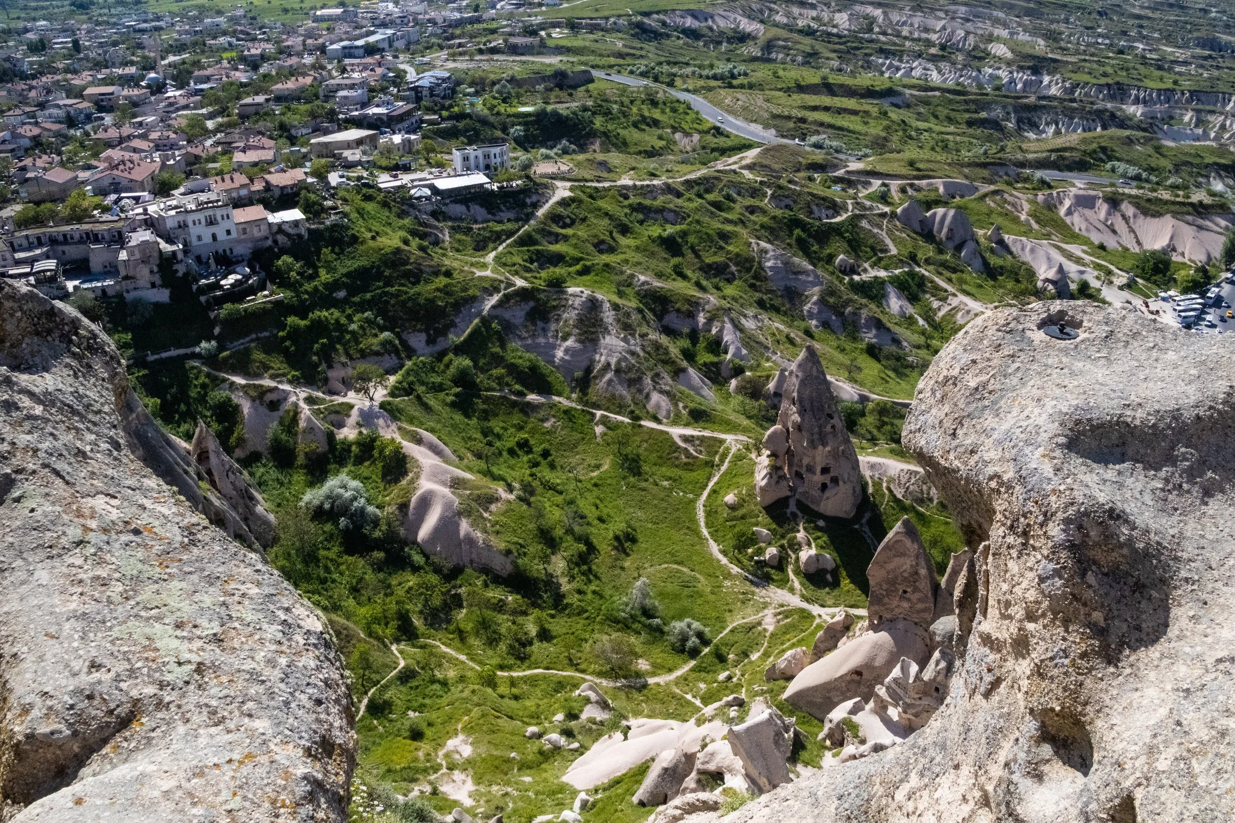
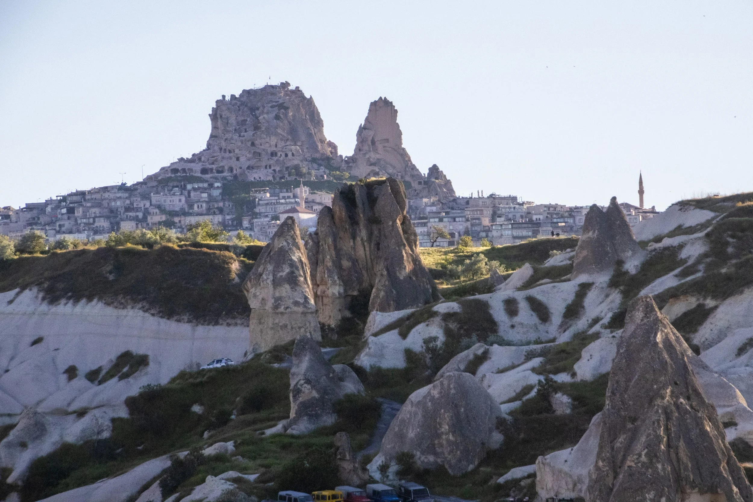
Uçhisar Castle is something that you will see from a great distance almost anywhere you go in Cappadocia. It is particularly tall, and particularly recognizable. It’s also one of the most photographed sites in Cappadocia not only because of its striking shape, but because of the earth-tone village that stretches up its slopes as far as physics will allow. Like Ortahisar, it dates back to the Hittite period, but unlike Ortahisar, the town here is much more robust. The town square was bustling with activity, but—with the help of a probably-unofficial parking attendant who exacted a small fee from us—we snagged a great parking spot right at the center of town.
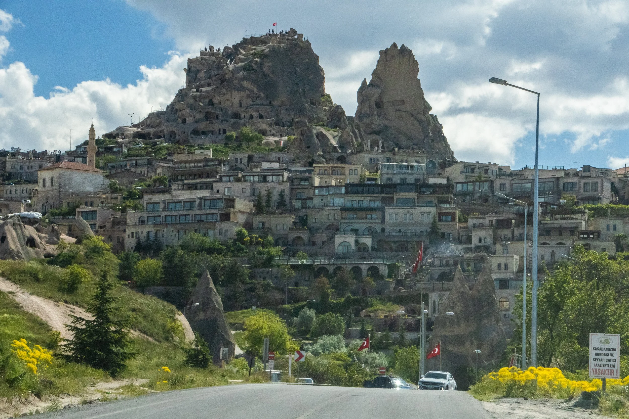
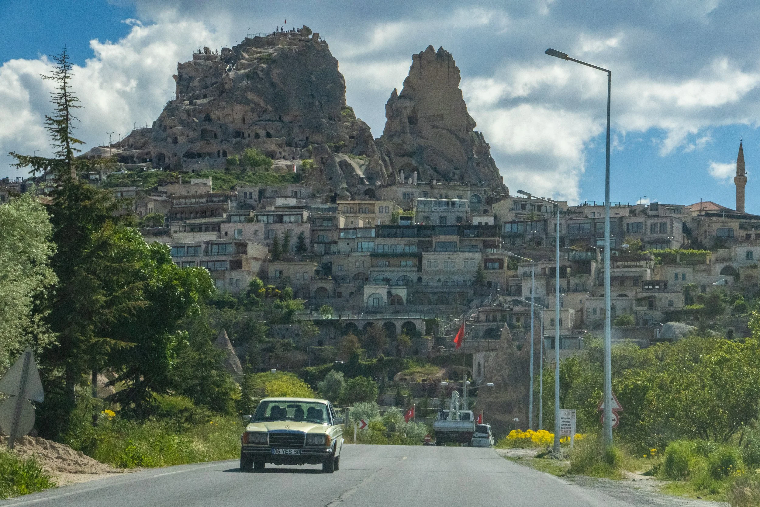
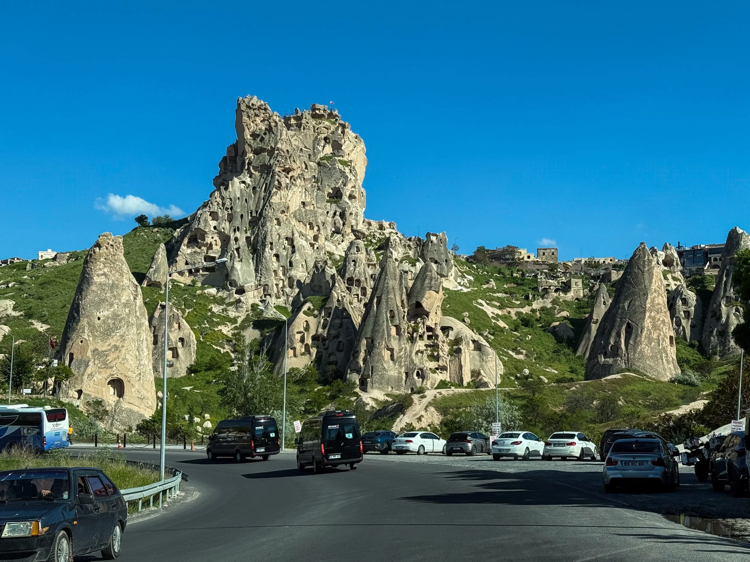
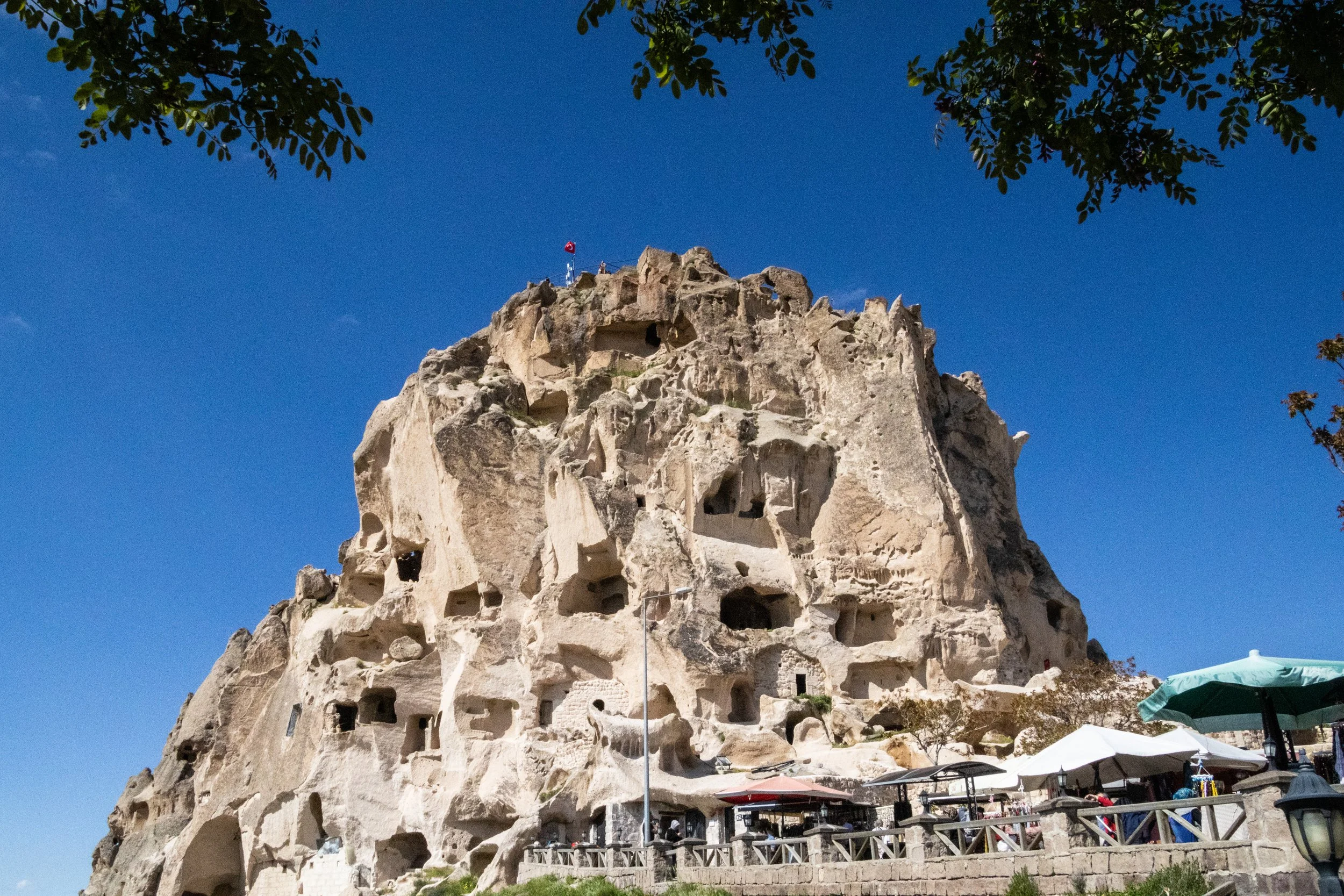
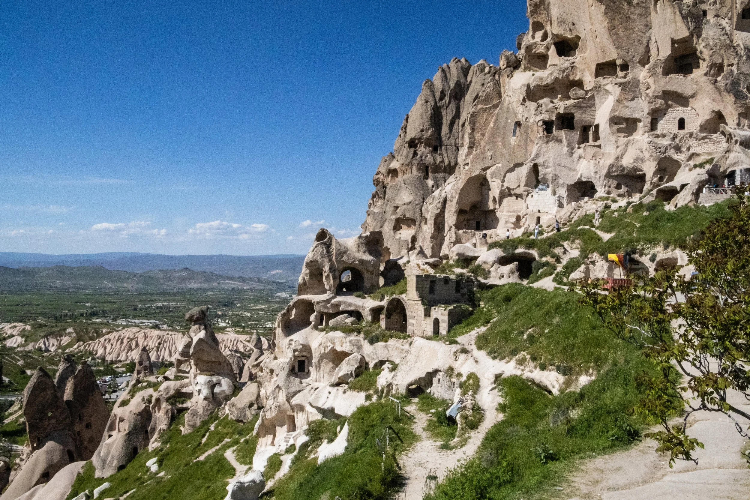
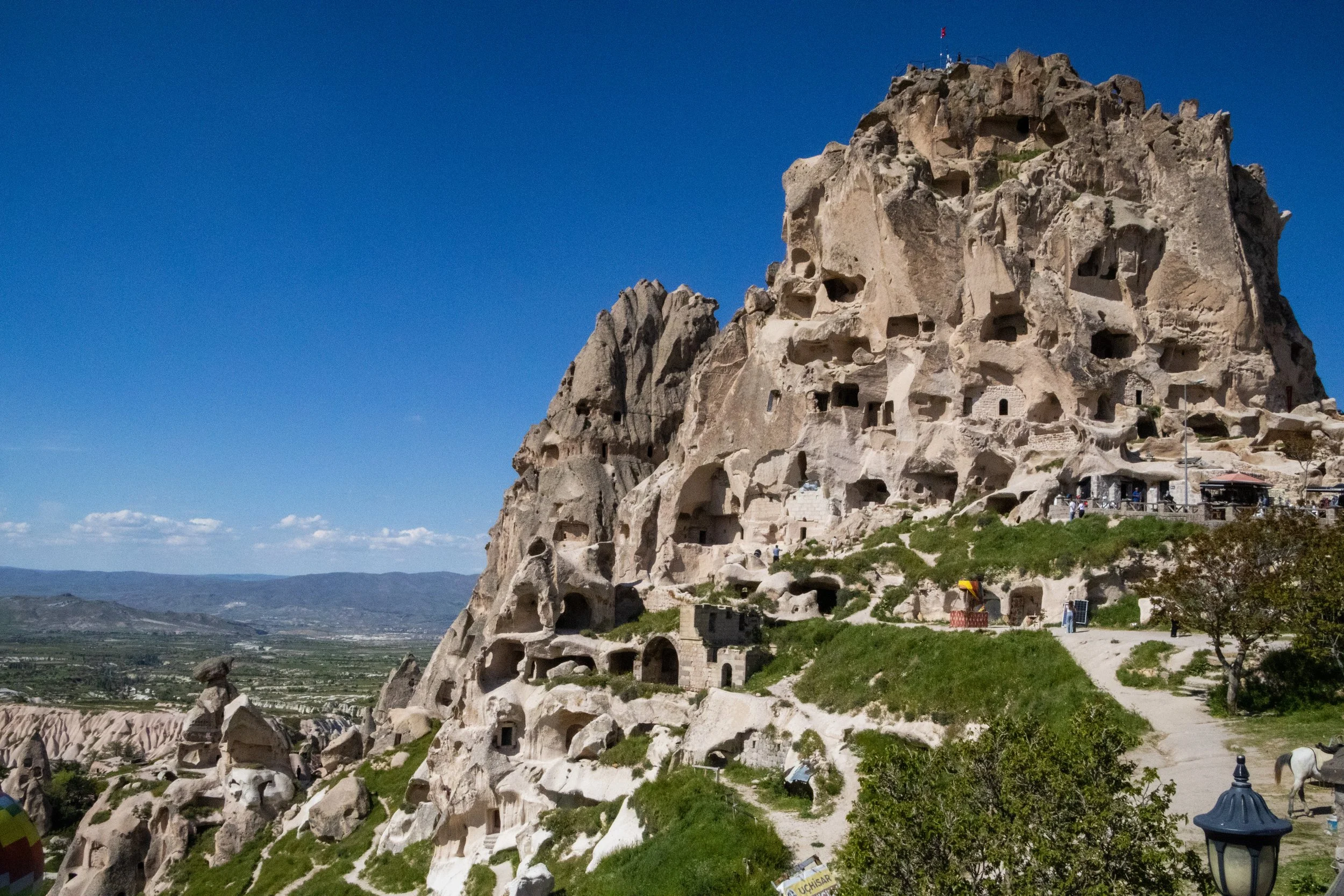
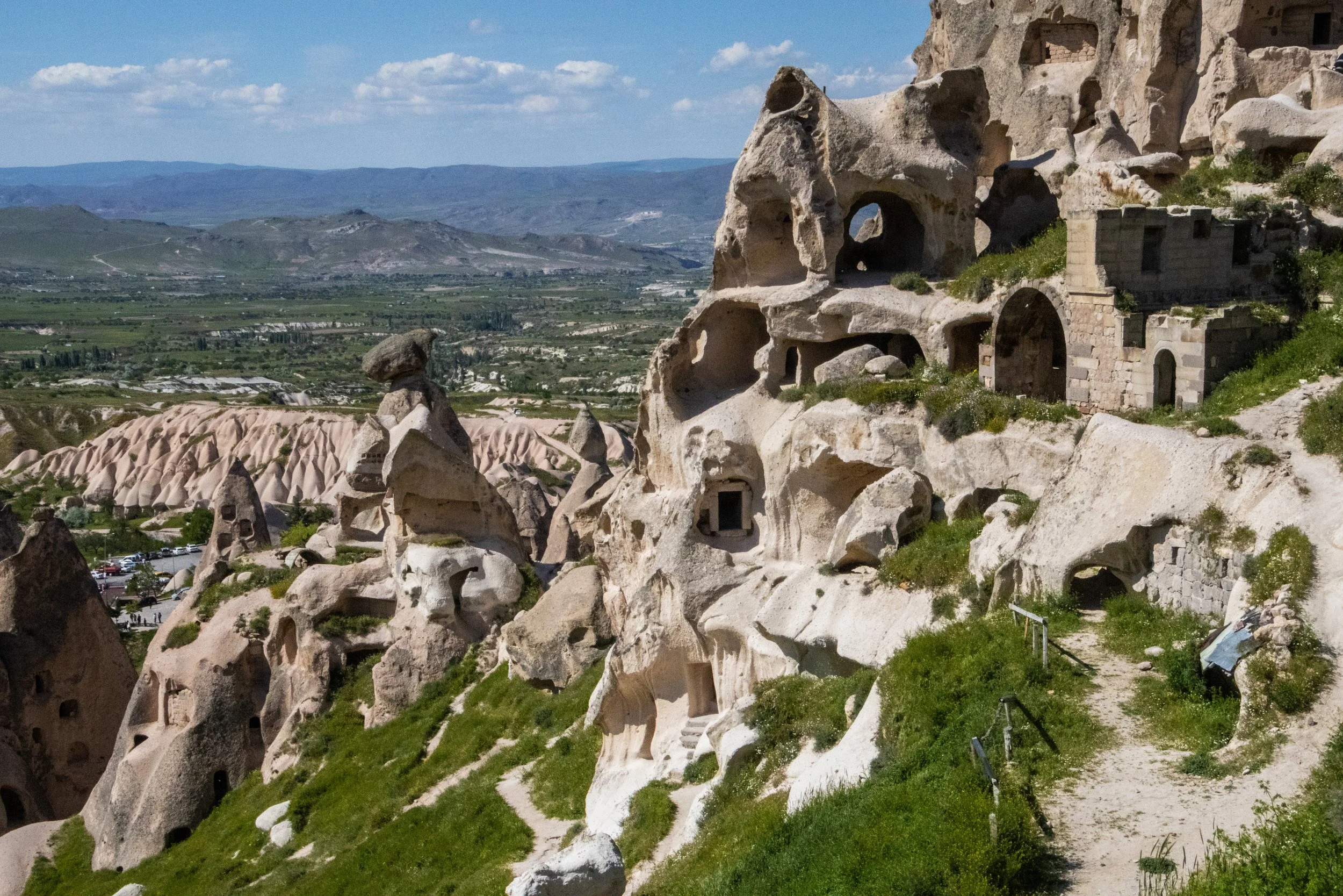
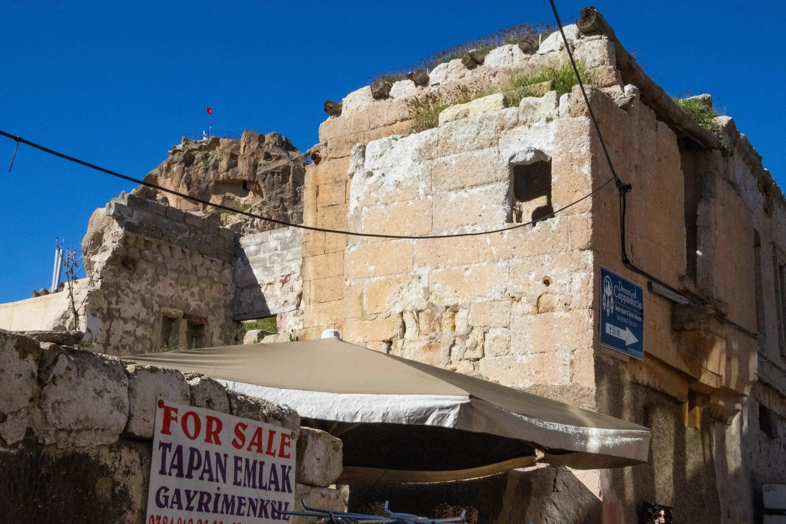
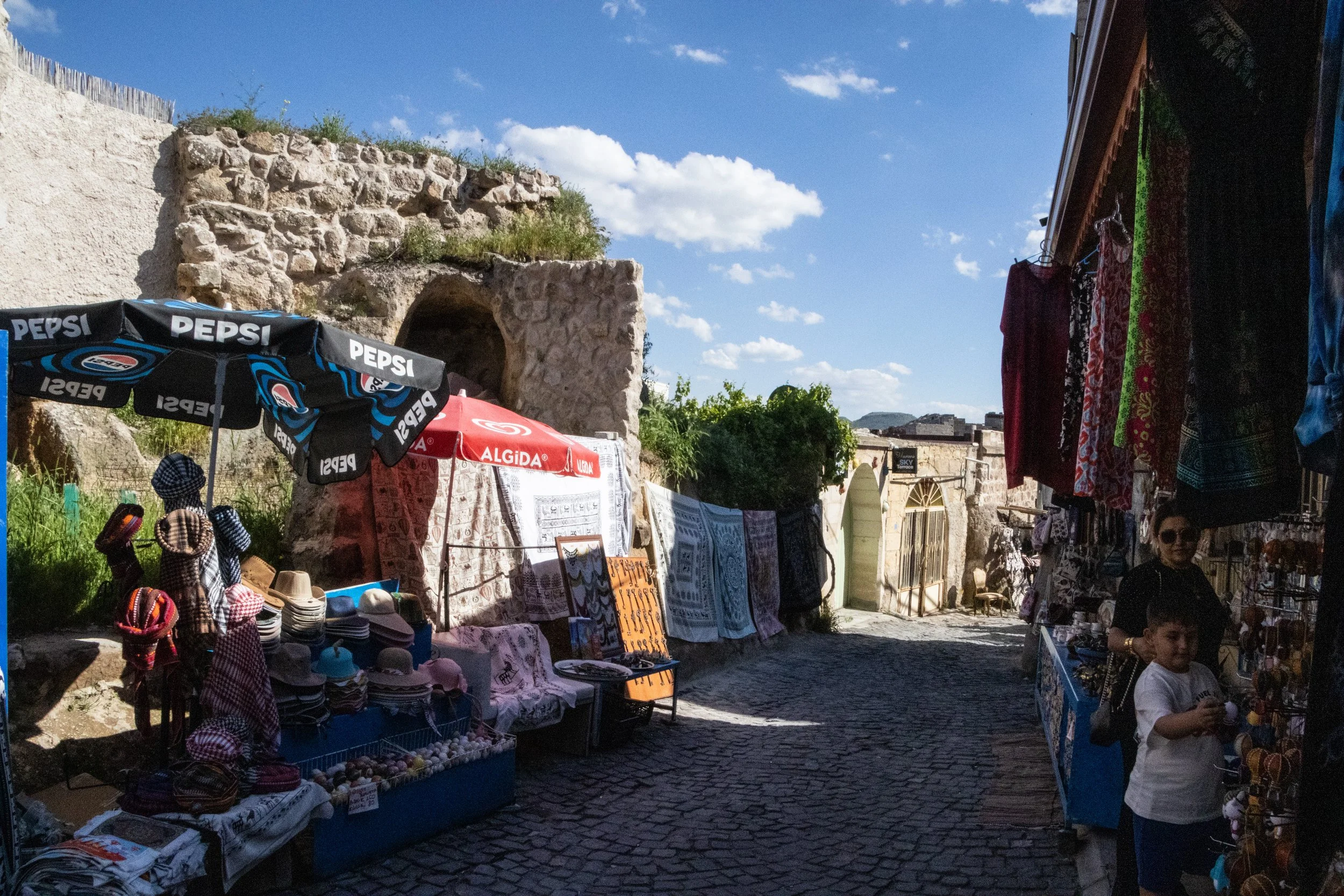
Uçhisar Castle is much larger than Ortahisar Castle; it’s taller by about 15 meters, and it’s much larger horizontally, making Ortahisar look more like a lone watchtower than a full-on castle. Inside, there are relics from many thousands of years ago… and, carved into the stone, a modern coffeeshop! But I pretty much blew past all of this on the way up to the top.
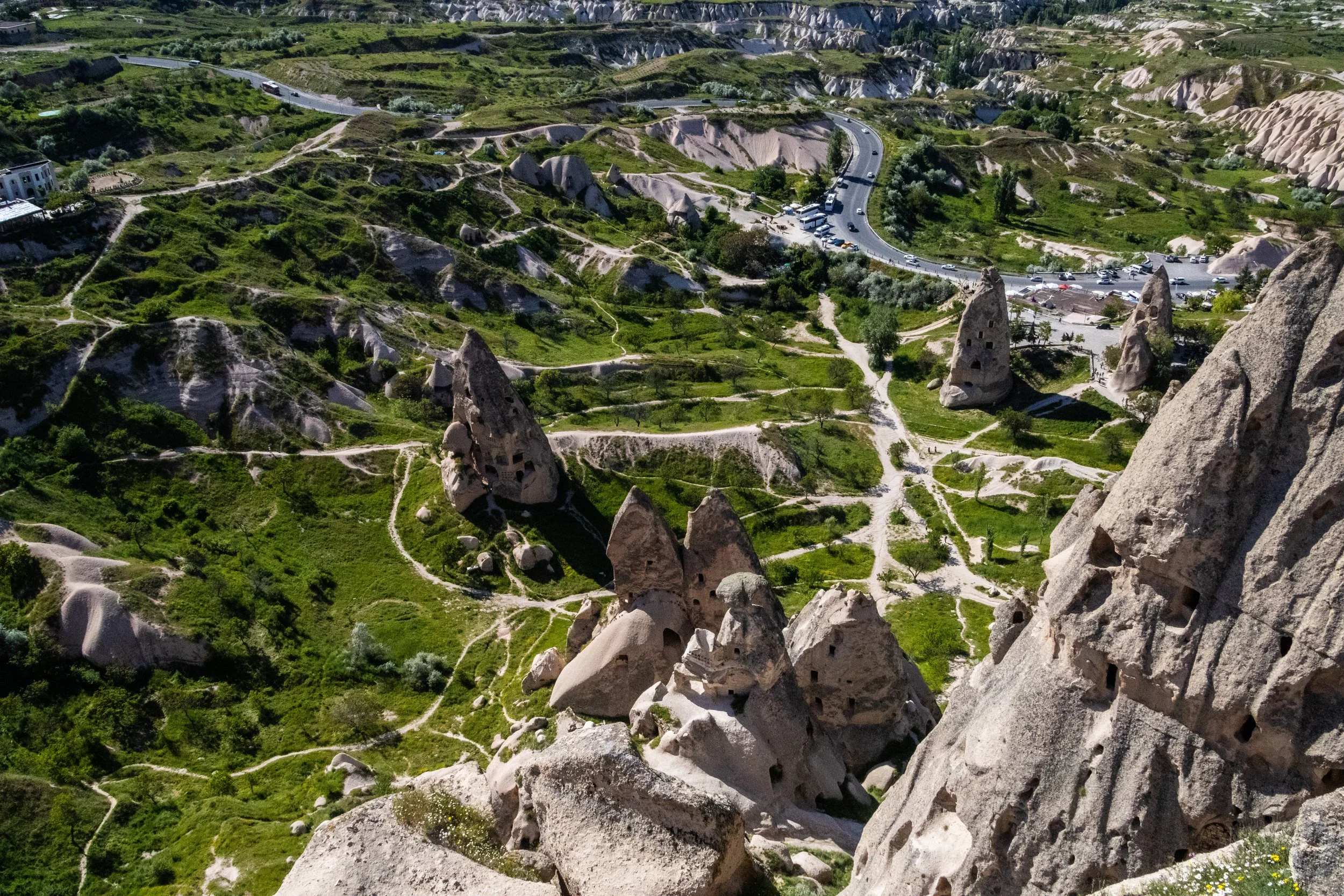
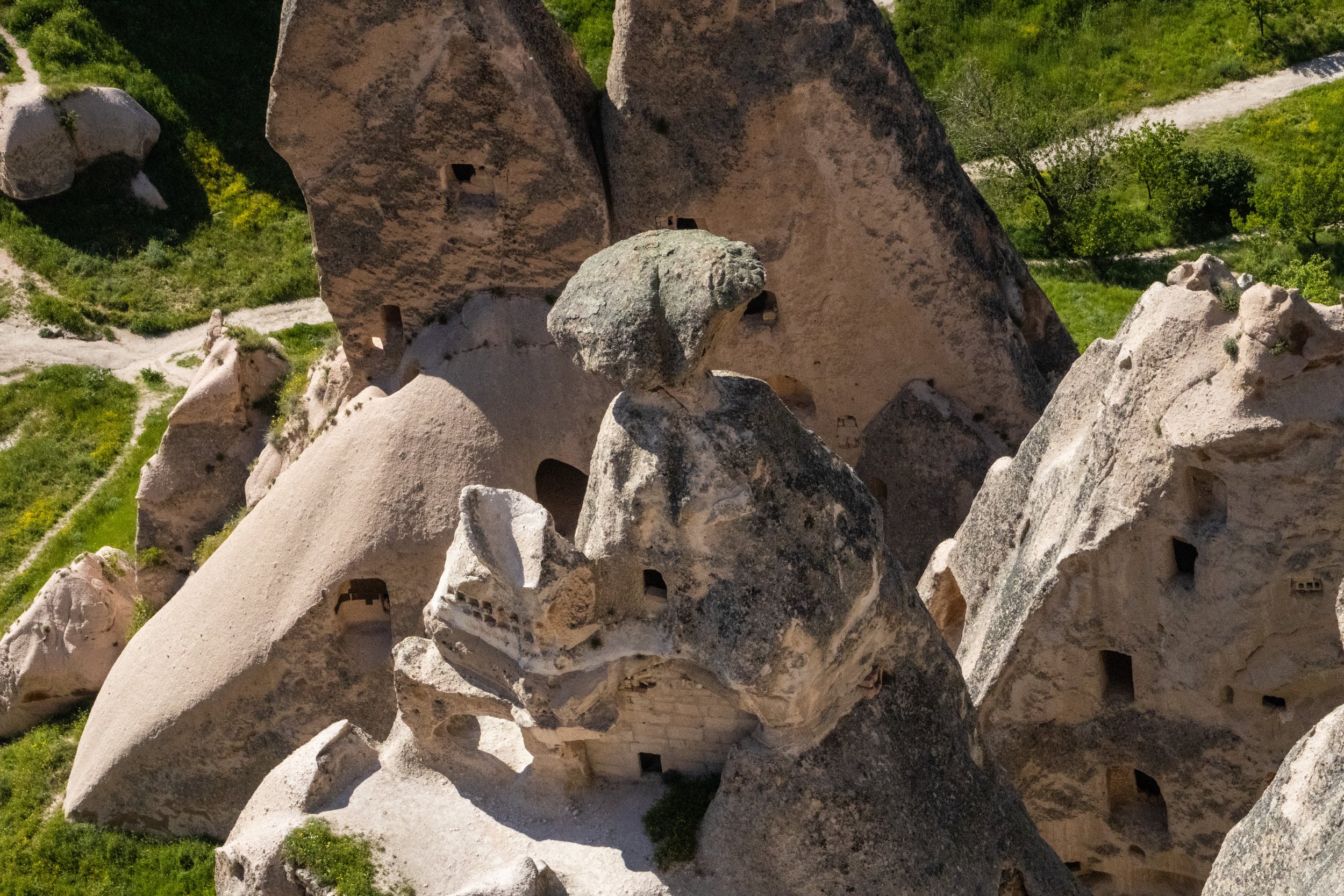
The top of Uçhisar Castle is mostly natural in its formation; you don’t have to be a geologist to infer that it was the result of volcanic activity. There are even natural holes in the rock up here as if it’s a massive block of Swiss cheese. In this Middle Eastern context (or Middle East-adjacent, depending on your persuasion), it definitely reminded me of the hilariously named “murder holes” that we saw ~6 months ago in Oman’s Nizwa Fortress. So, was there ever an actual siege of this castle? Not that I have been able to find in my research, but this region was definitely a war zone more than once in its long history.
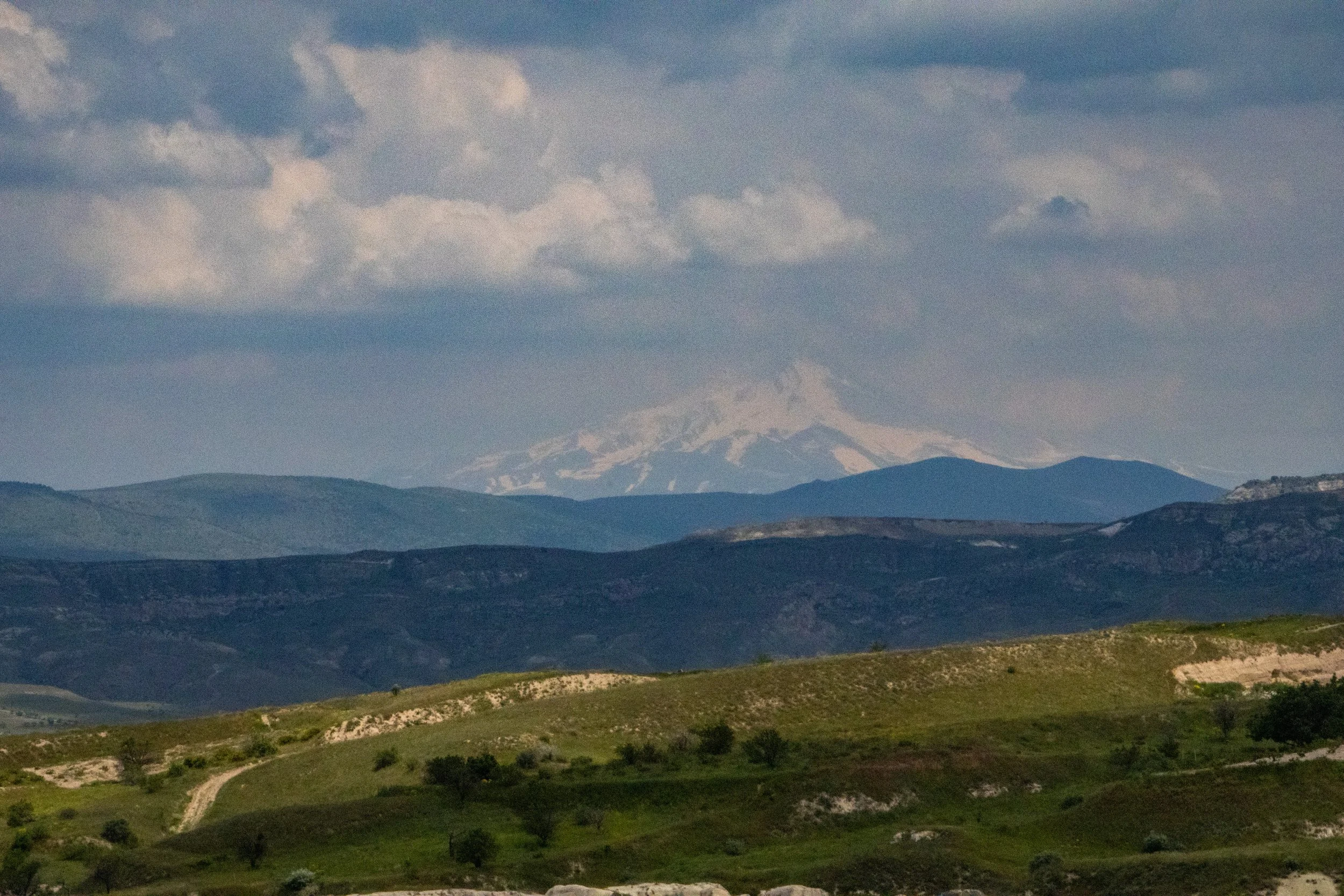
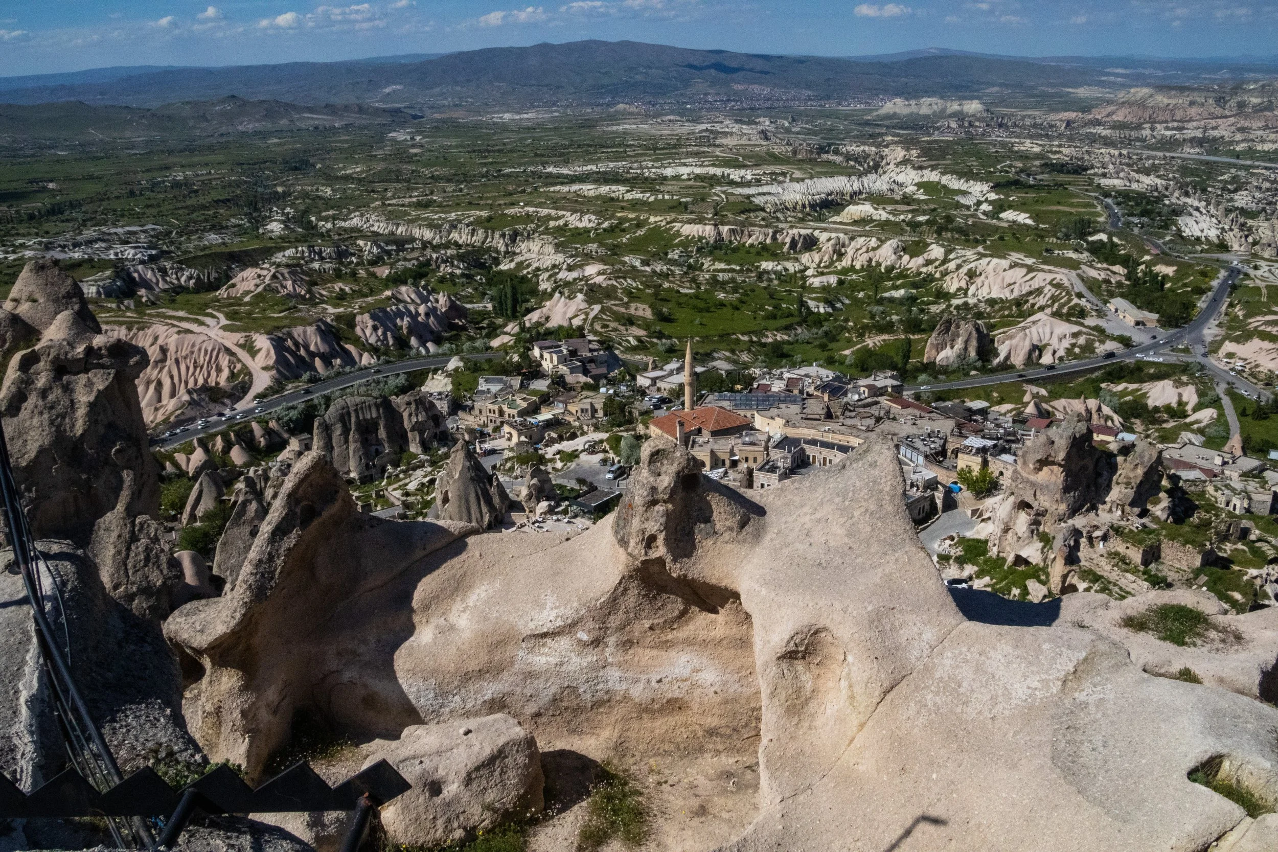
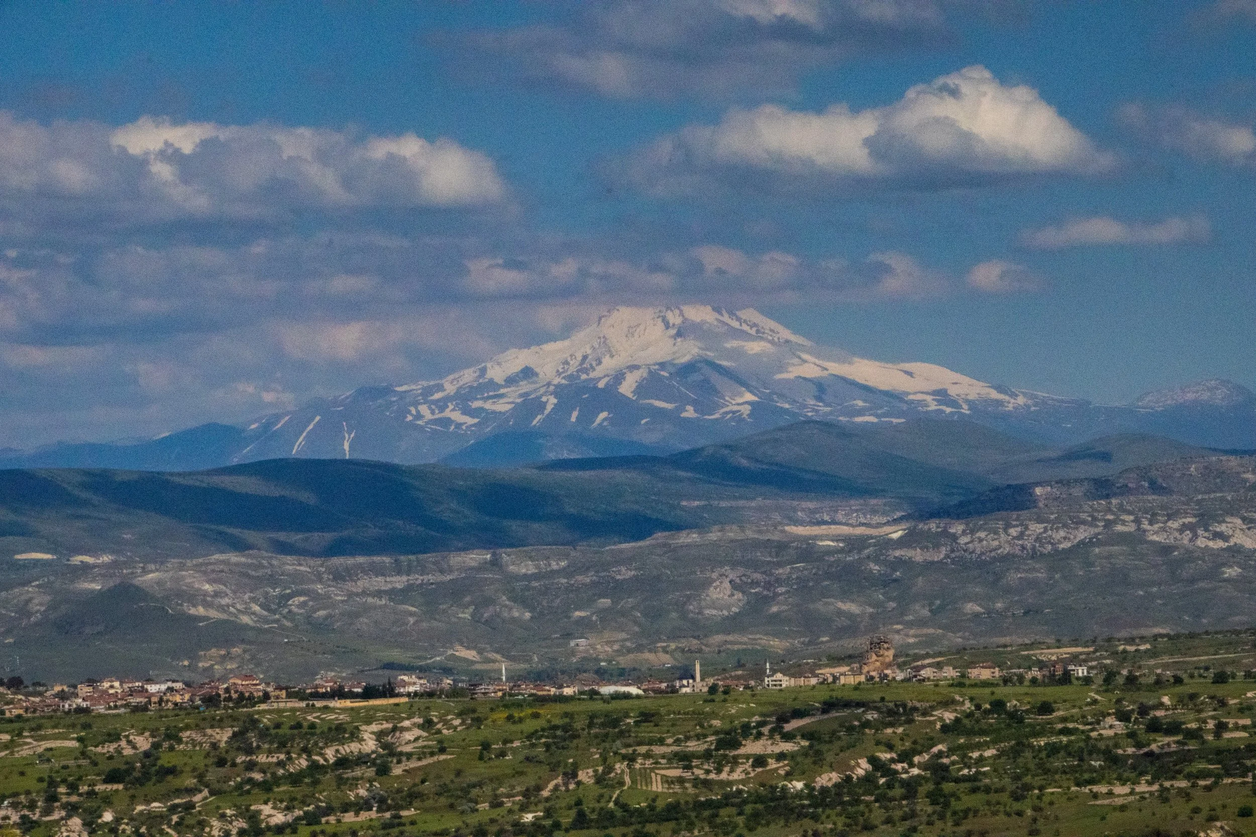
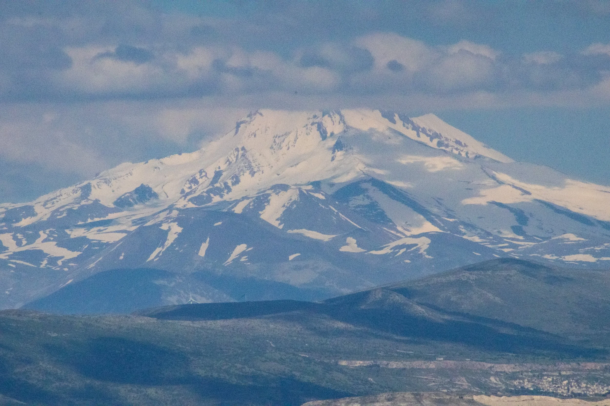
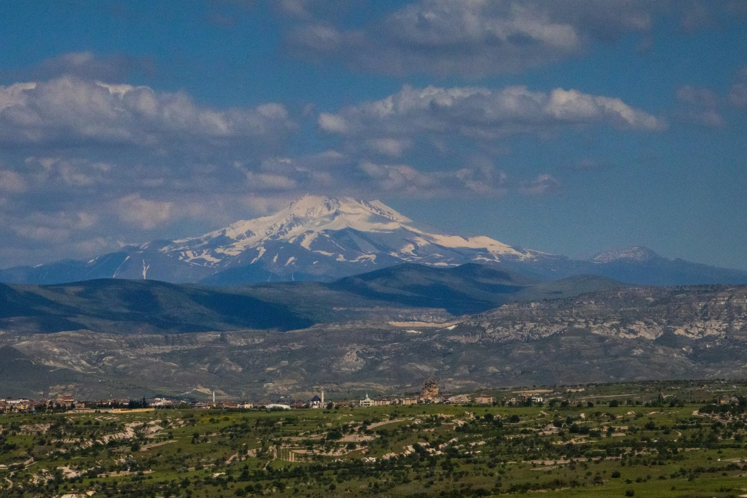
Off in the distance, a massive mountain rose imposingly above the rocky landscape, still mostly blanketed in snow despite the warm early-summer weather. This is Mount Erciyes, a long-dormant stratovolcano which is about 70 km from Uçhisar (as the crow flies). Its summit is 3,917 meters (~12,851 ft) above sea-level, which makes it taller than Japan’s Mount Fuji, and just below Switzerland’s Matterhorn, and France’s Mont Blanc. However, the mountaineers among you are probably more interested in its base-to-summit rise; to actually climb Mount Erciyes, the elevation would be 2,817 meters (~9,242 ft), which puts it behind Mount Fuji. Impressive though it may be, it’s actually only Türkiye’s 5th highest mountain; the highest is Mount Ararat, which is much larger. We saw Ararat from Armenia a few years ago; it was indeed quite impressive. So, if you didn’t think Türkiye was mountainous, think again.
While I was up here, taking pictures off the side of this giant rock, a group of Turkish guys called out to me. They were probably in the mid-to-late 20s, and—despite their broken English—they were able to ask me to take their picture with my big DSLR camera. They posed together as a full group and then had me take pictures of smaller subgroups of them. I never understand why people do this, because there’s no way they’re ever going to see these photos! Or, so I’d assumed/hoped. Afterwards one of them asked for my WhatsApp information, which I hesitantly gave him, along with a disclaimer that I wasn’t going to touch my memory cards until I’d returned home. He texted me later that same day asking for the photos. “Bro, it’s going to be at least a week.” 😂
He got his pictures the following week, and Turkish-American relations took a small step forward. 🇹🇷🤜🤛🇺🇸
ANYWAY, here’s the view:
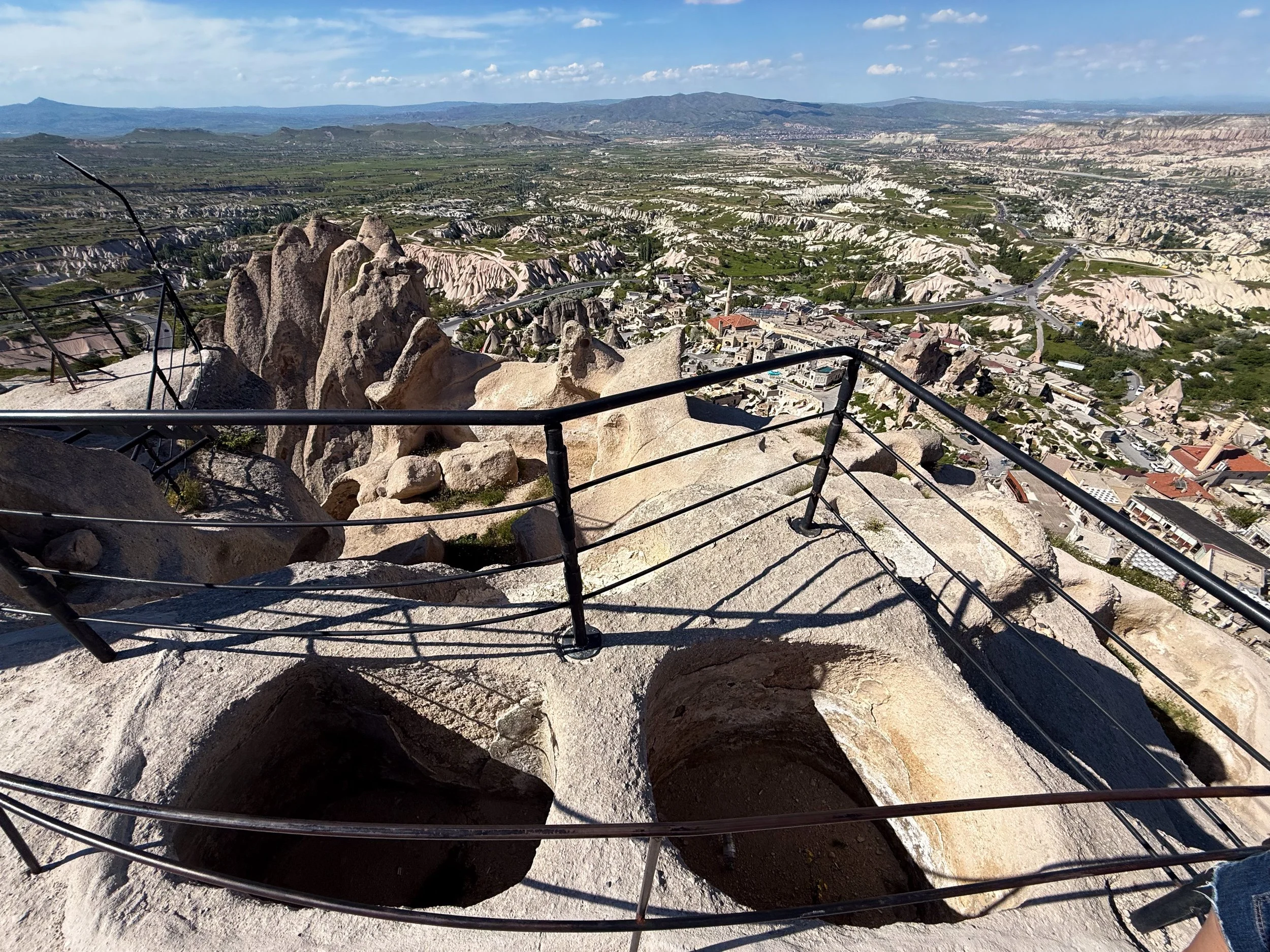
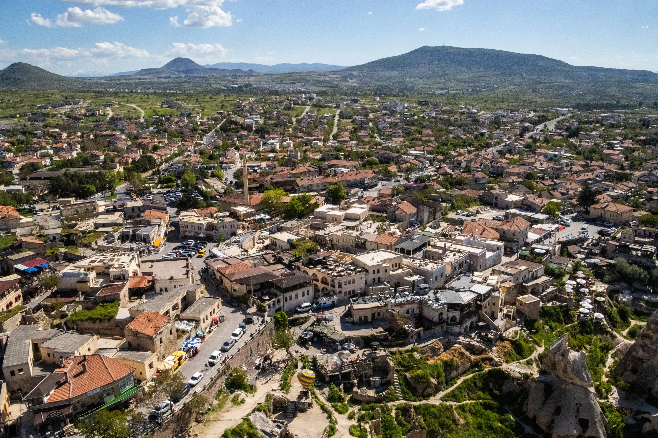
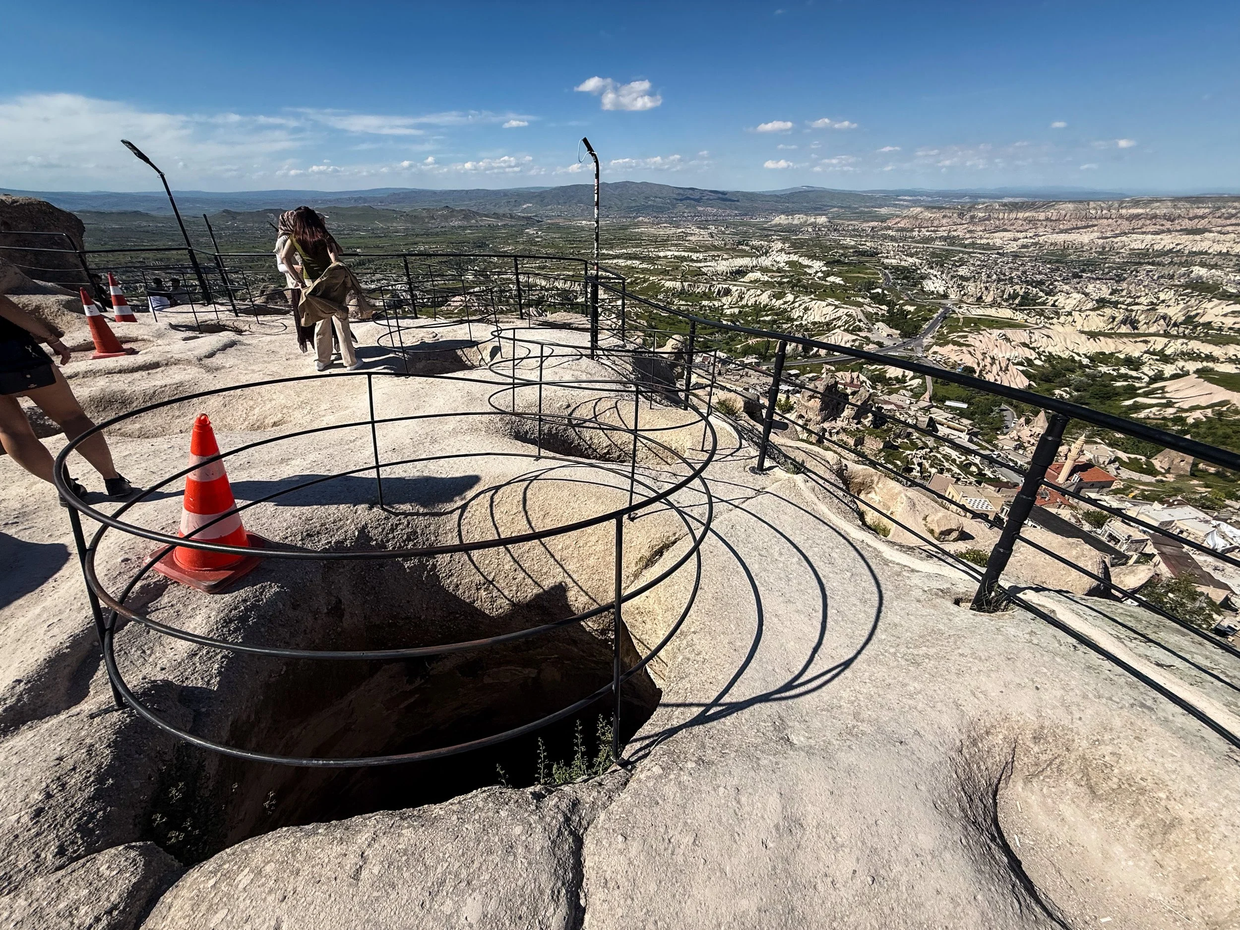
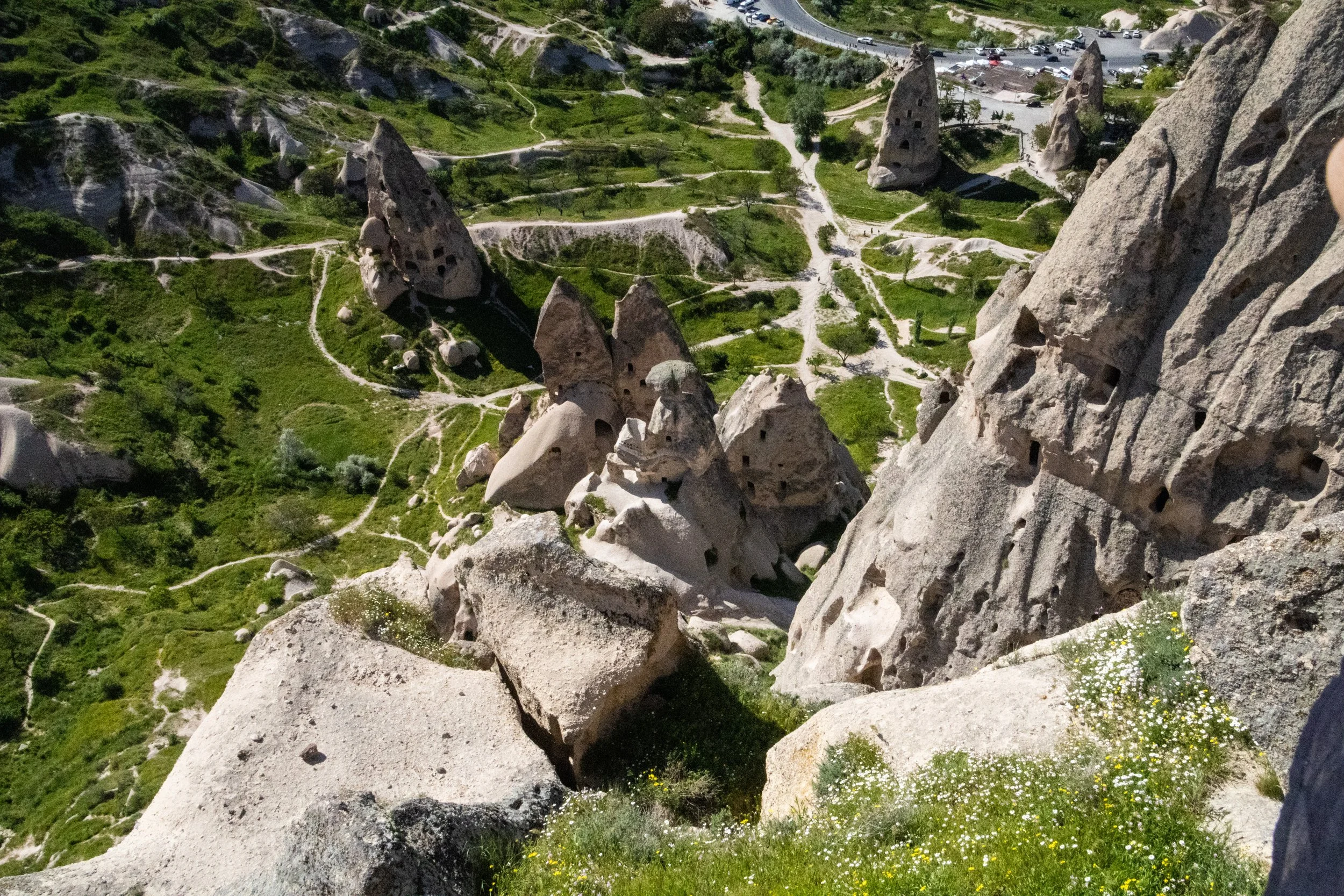
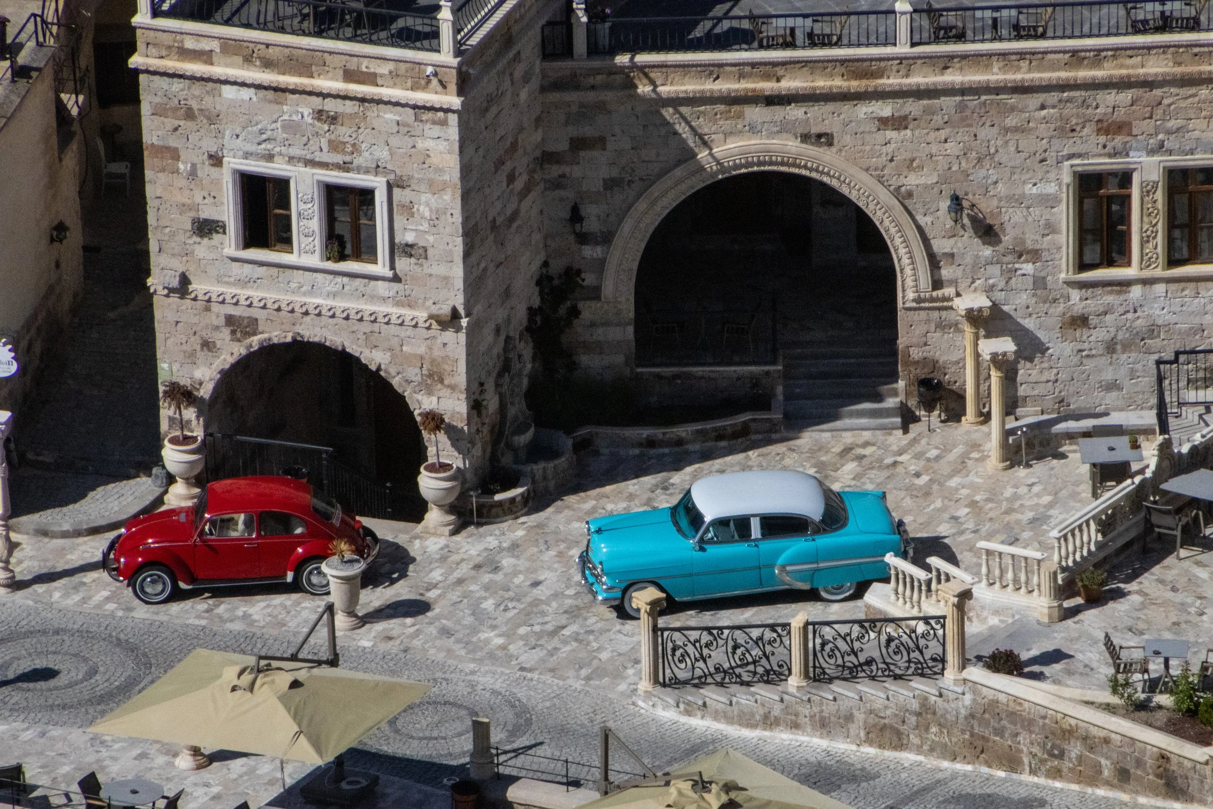
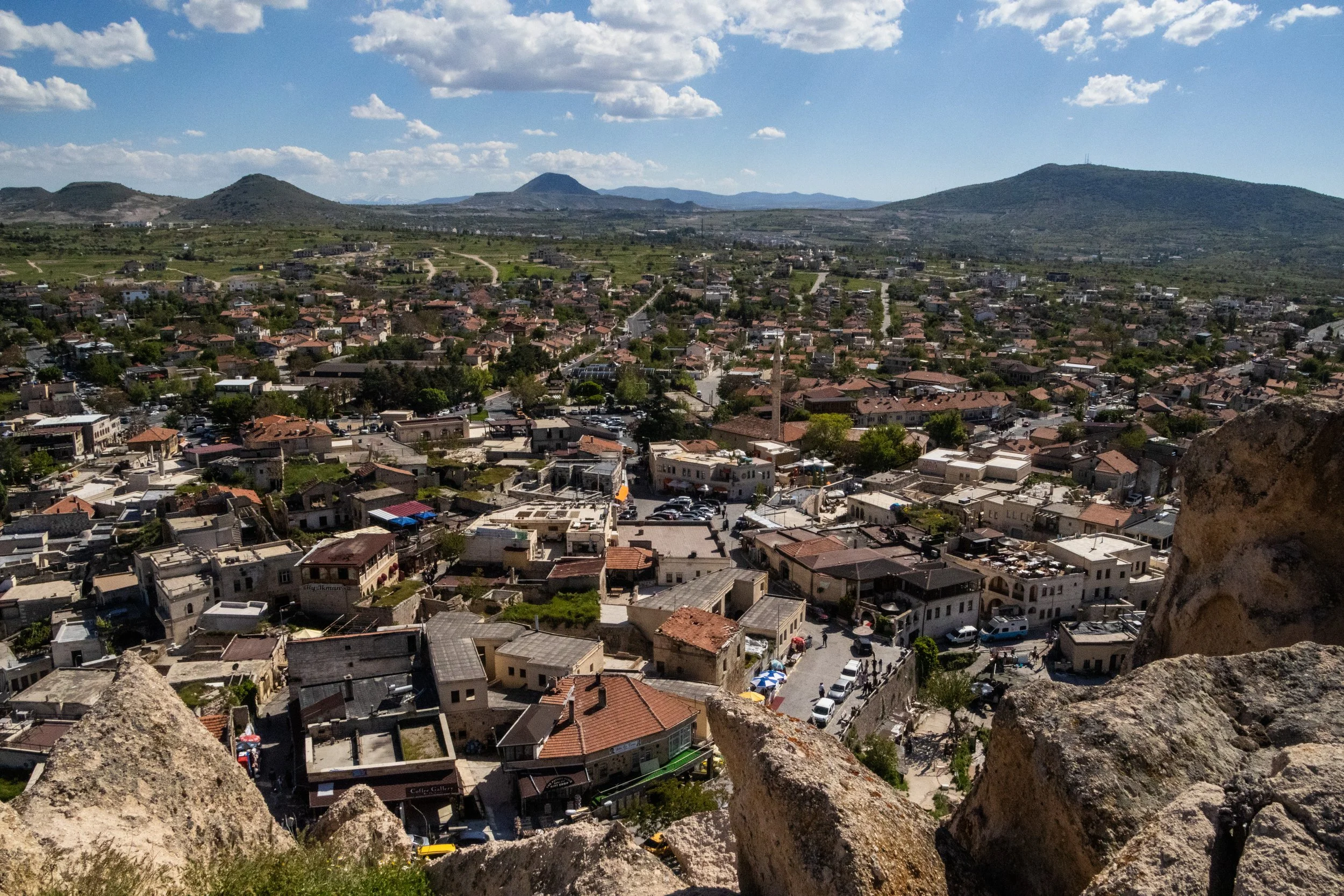
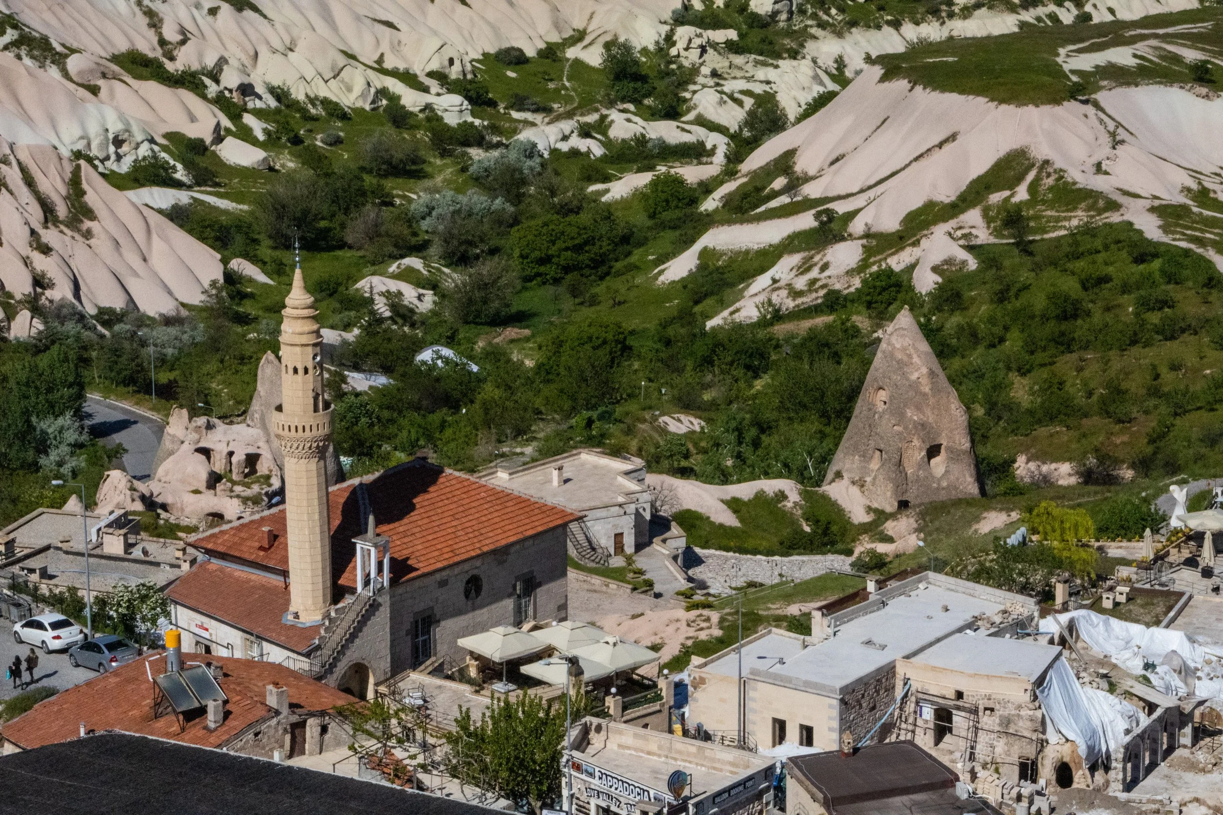
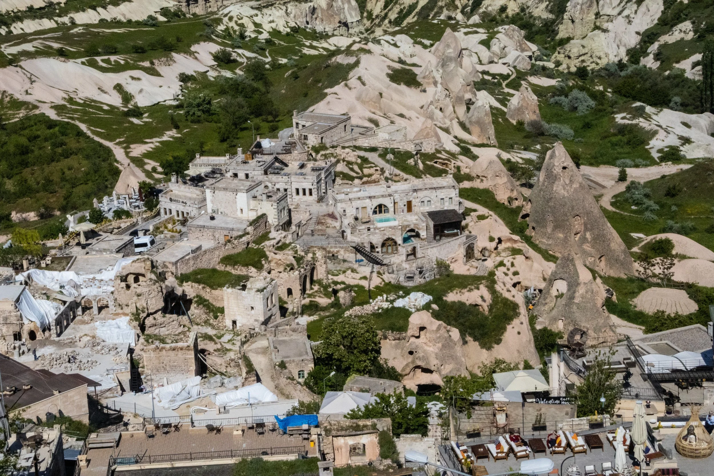
Avanos
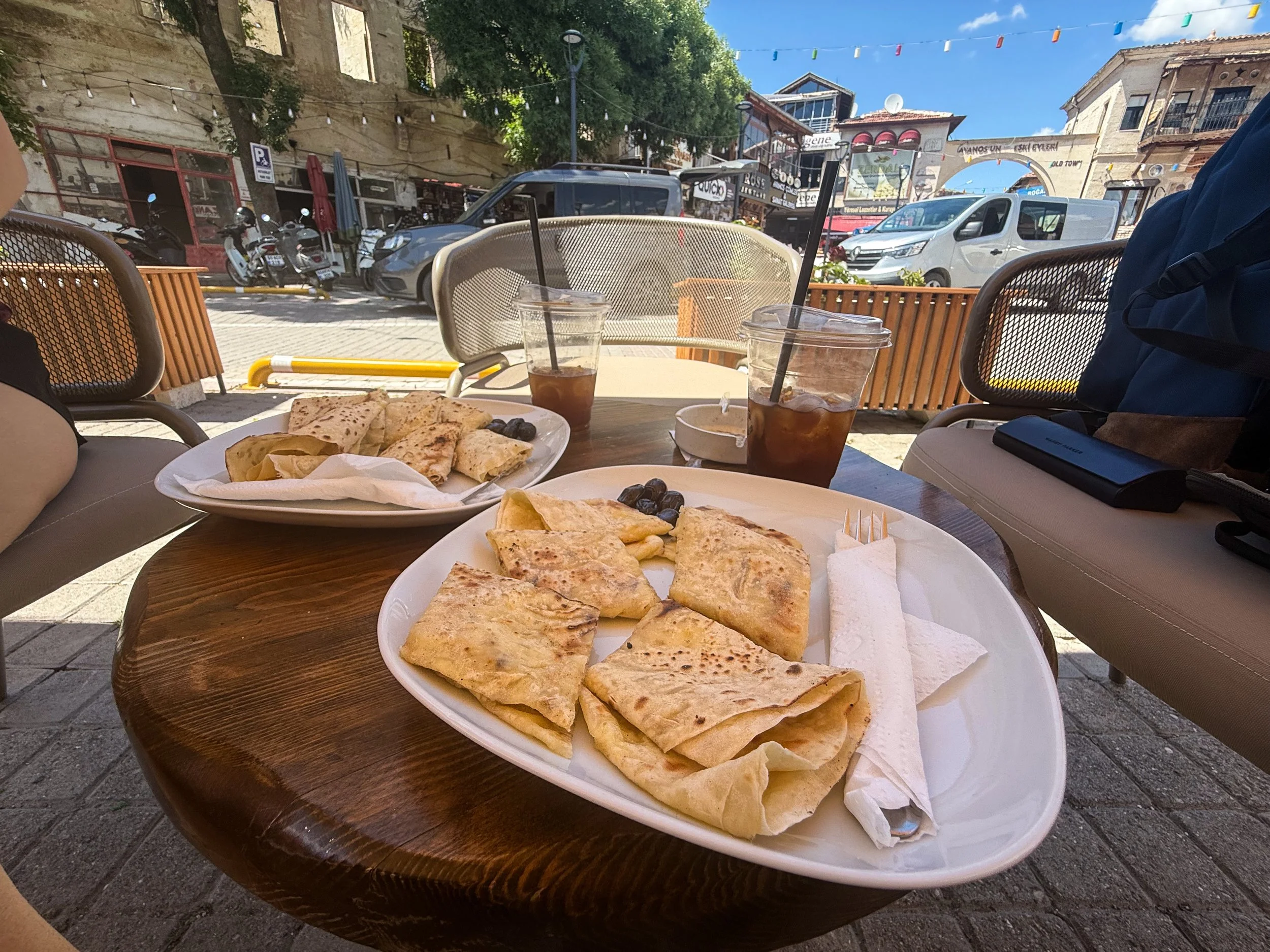
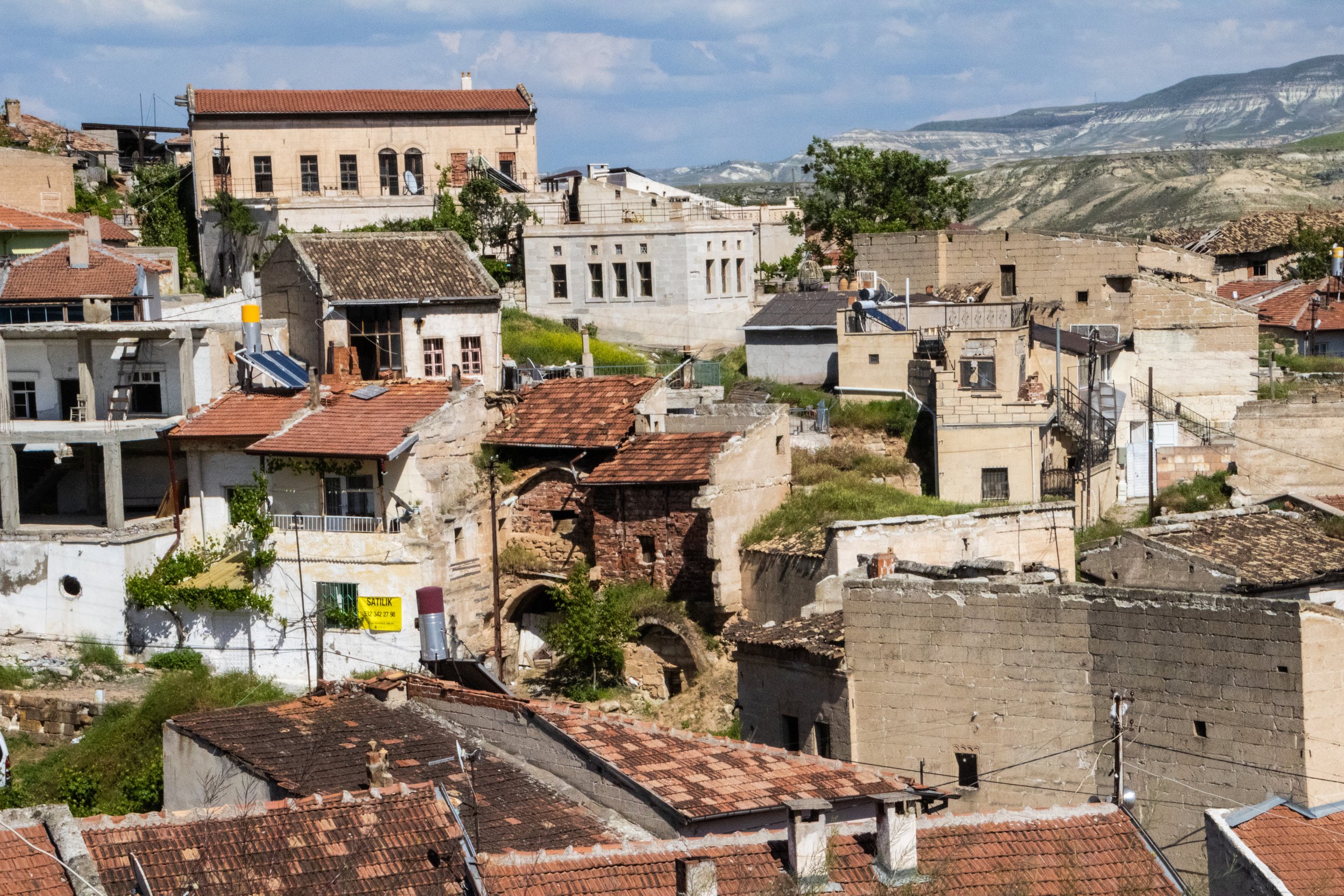
Now for a town that is the ‘dark horse’ of this Cappadocia itinerary: Avanos. A friend, who is very well-traveled within Türkiye, had recommended it to us, describing it as a “pottery village.” I don’t know if that’s the most exciting pitch, but we were clearly motivated enough to drive the extra distance to get here. And—gosh—I’m very glad we did!
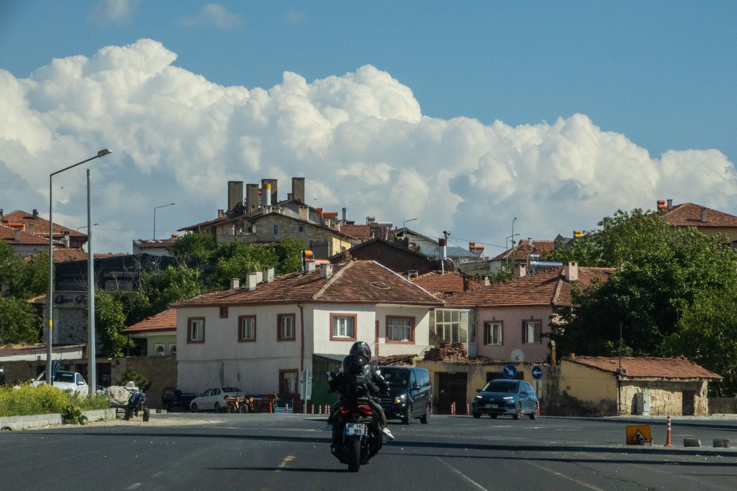
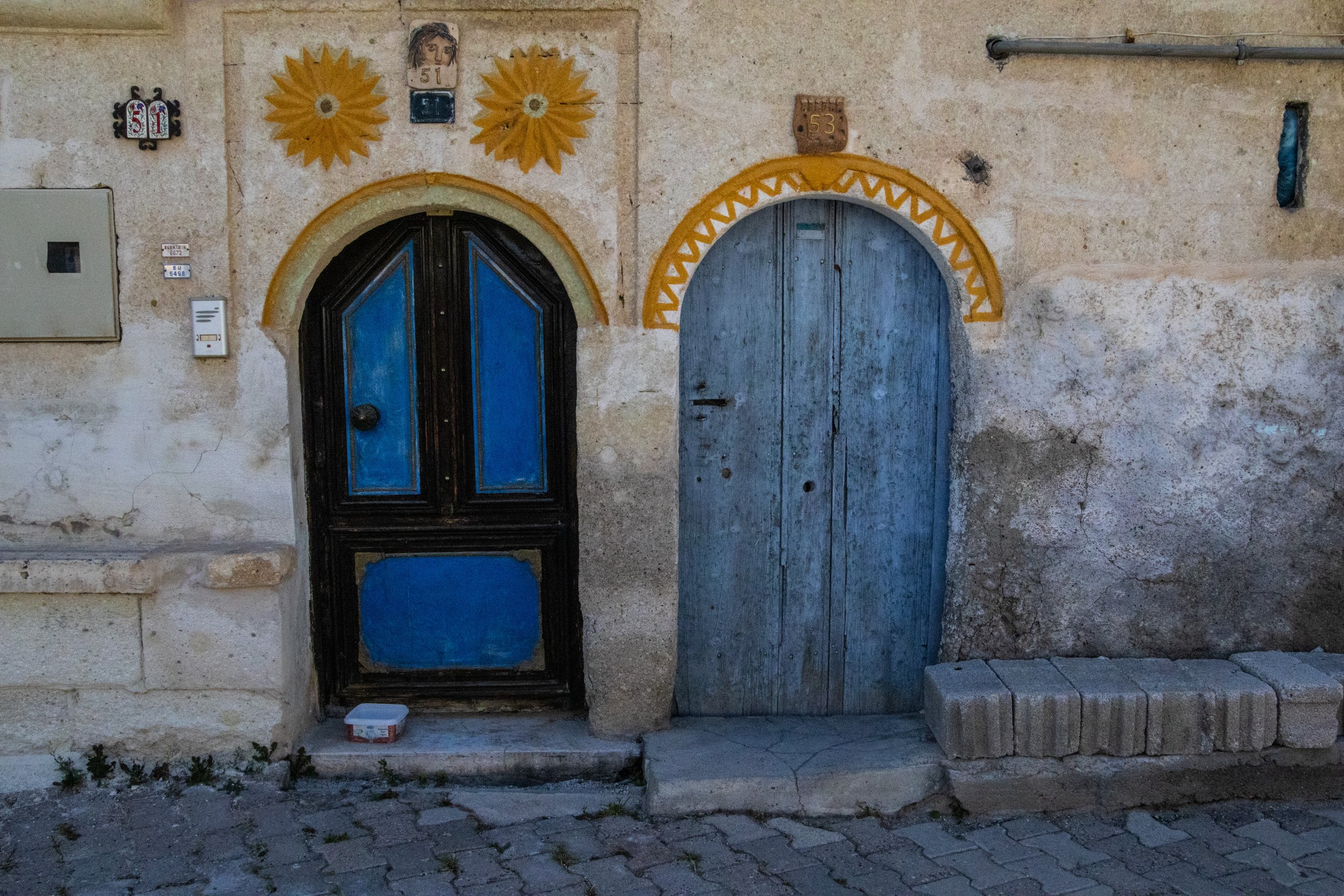
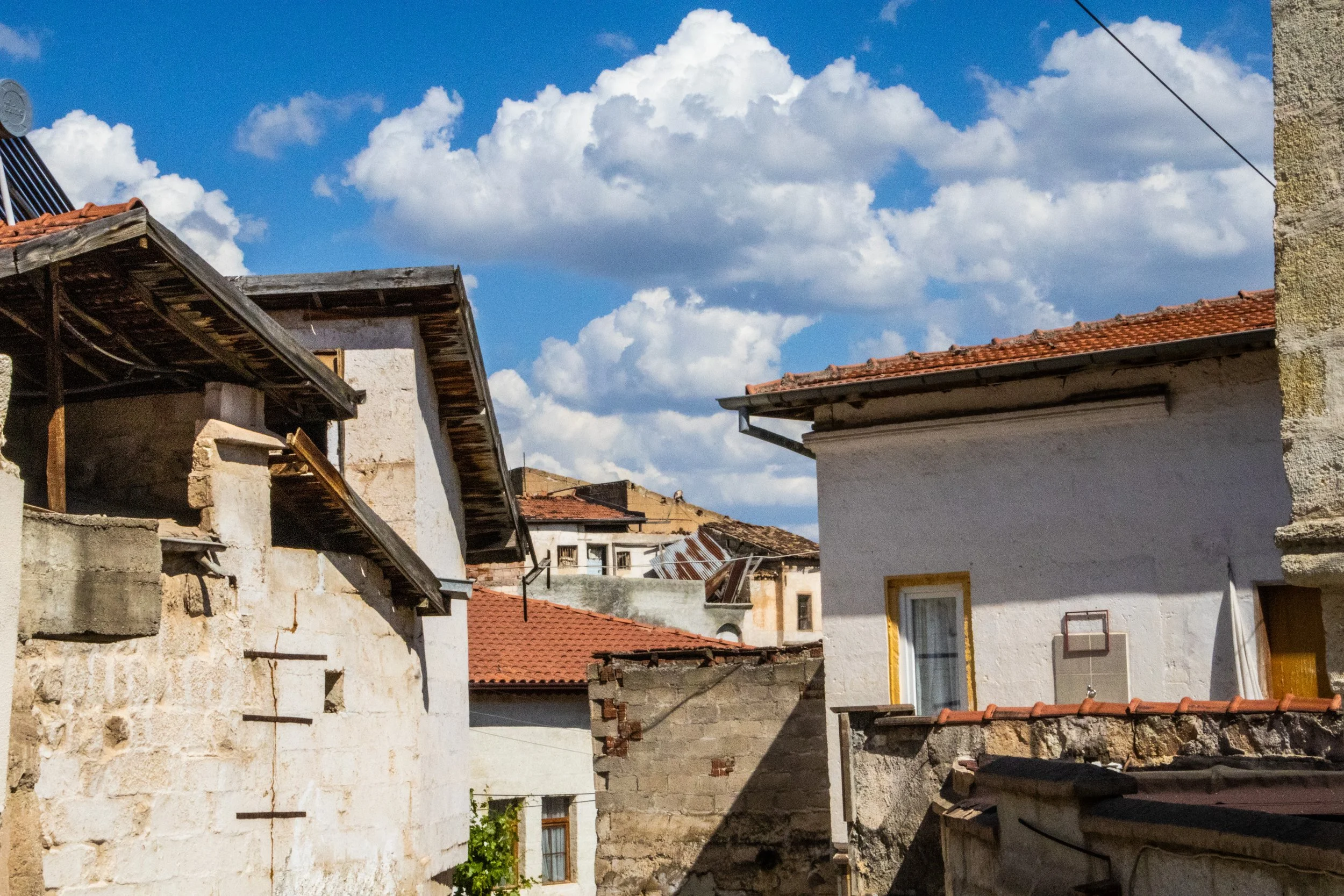
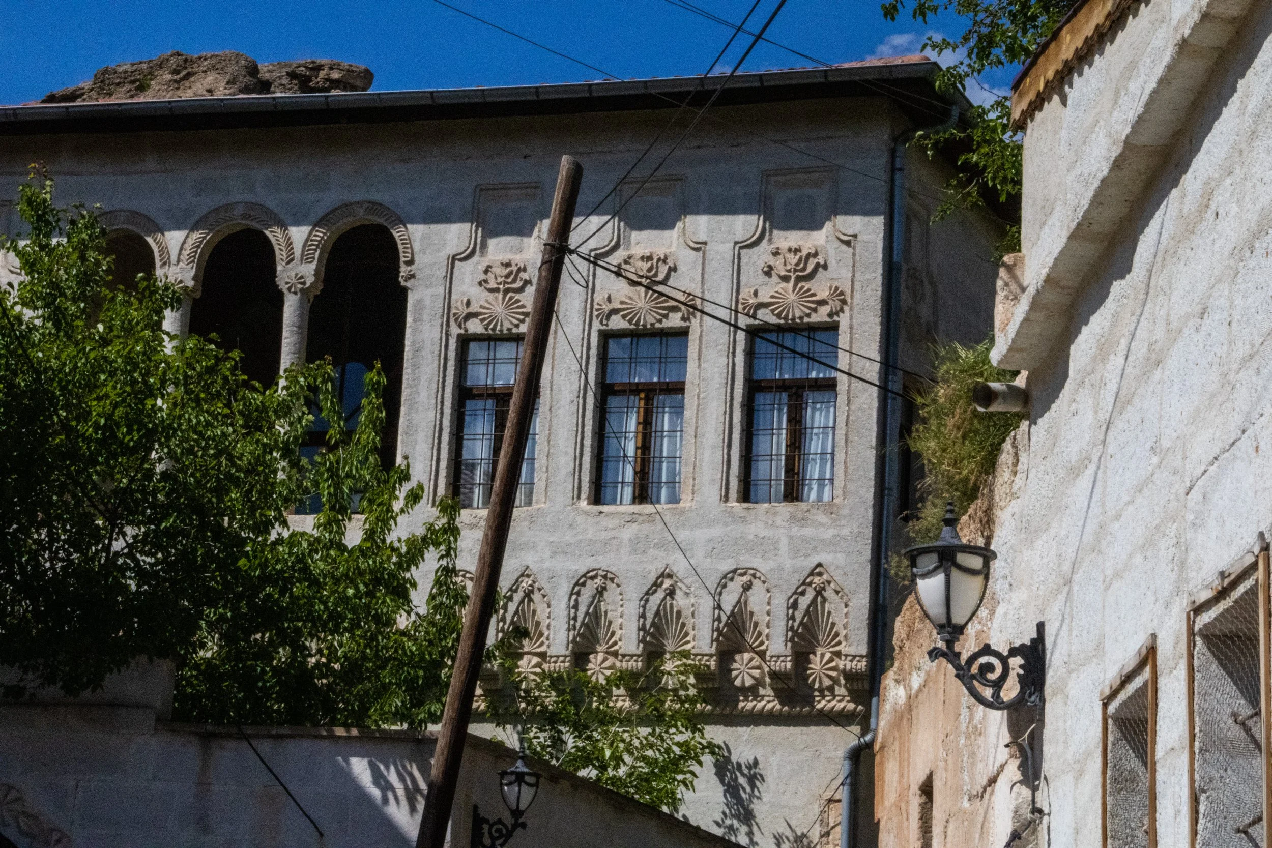
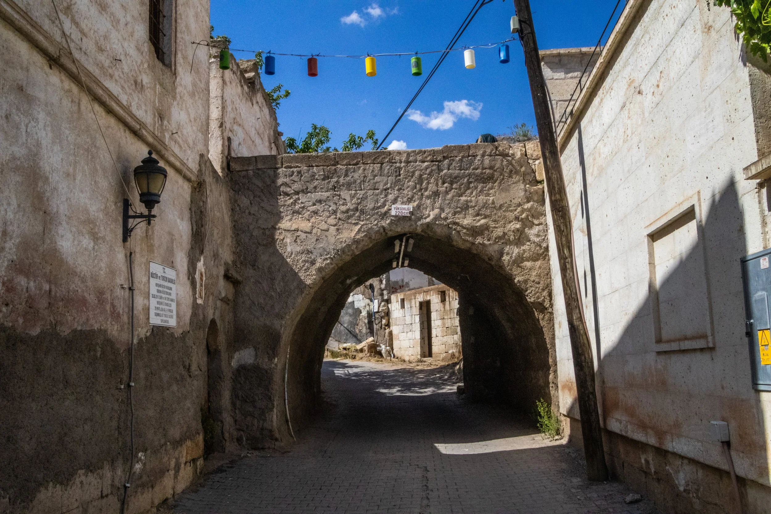
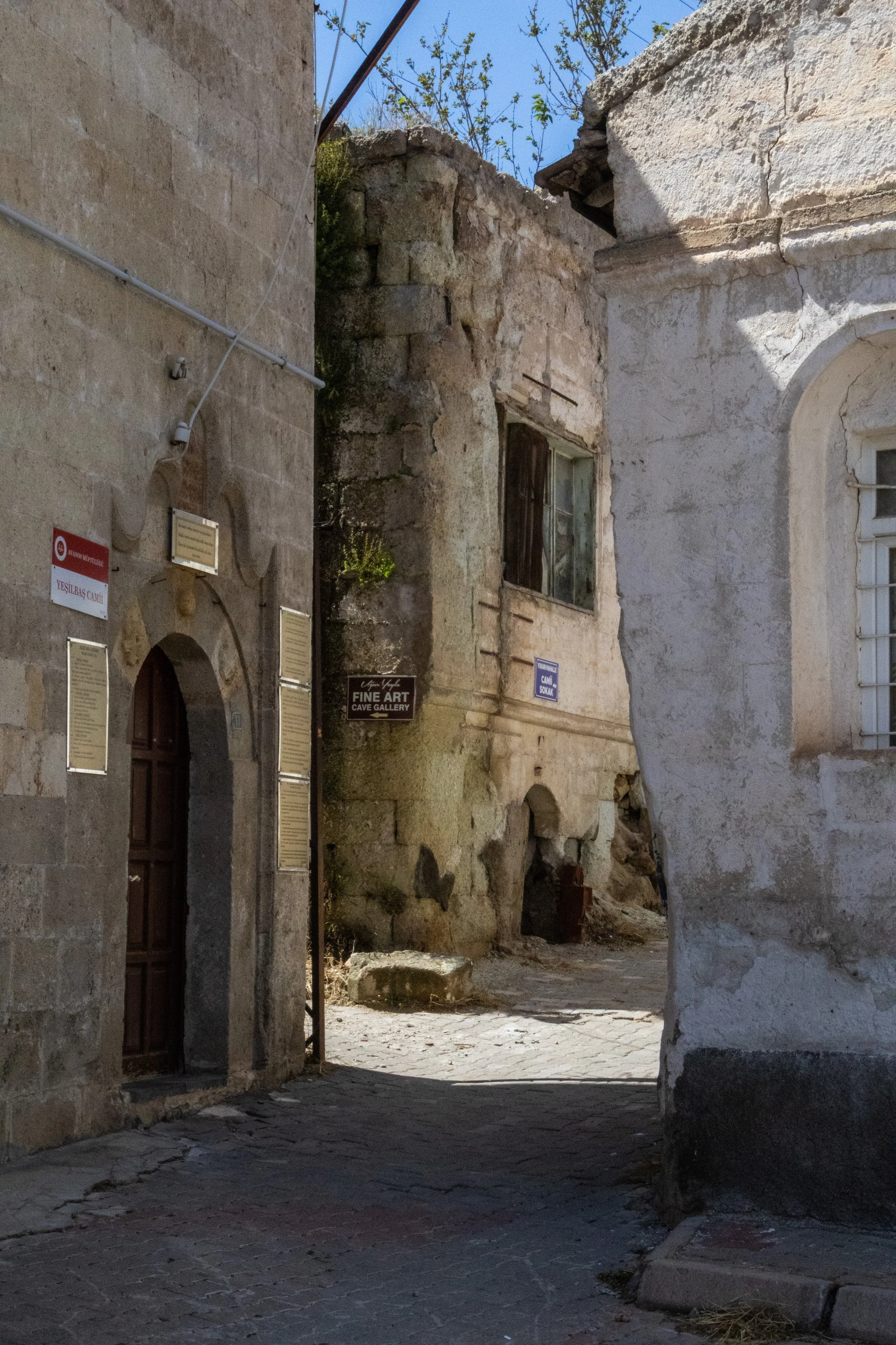
Although Avanos, like everything else in this area, dates back thousands of years, it doesn’t have any sensational ancient-world monument like Ortahisar and Uçhisar. On the contrary, this feels like a small Turkish town, much more strongly rooted in the present day than the distant past. For that reason alone, I was happy to be exploring it. This was the first time I felt like we’d left ancient Anatolia and entered 21st century Türkiye. Although we naturally gravitated toward the oldest part of the town, I’m pretty sure that what we found here does not pre-date the Turkish presence in Anatolia. However, the same cannot be said for the pottery traditions we discovered here.
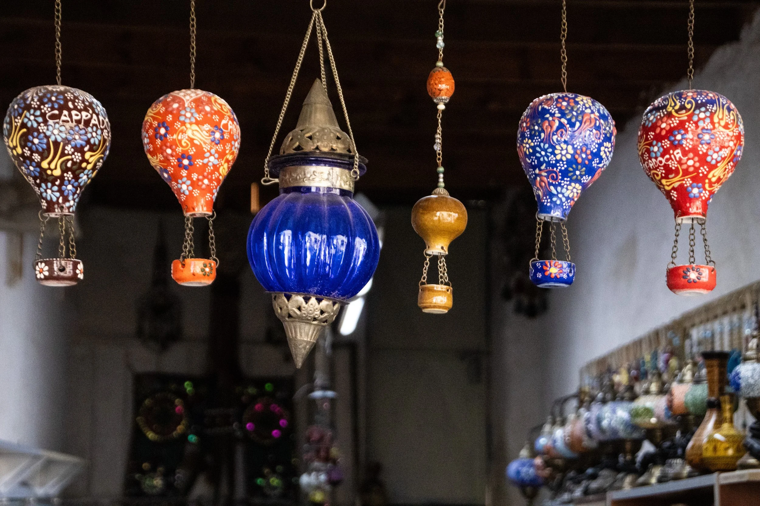
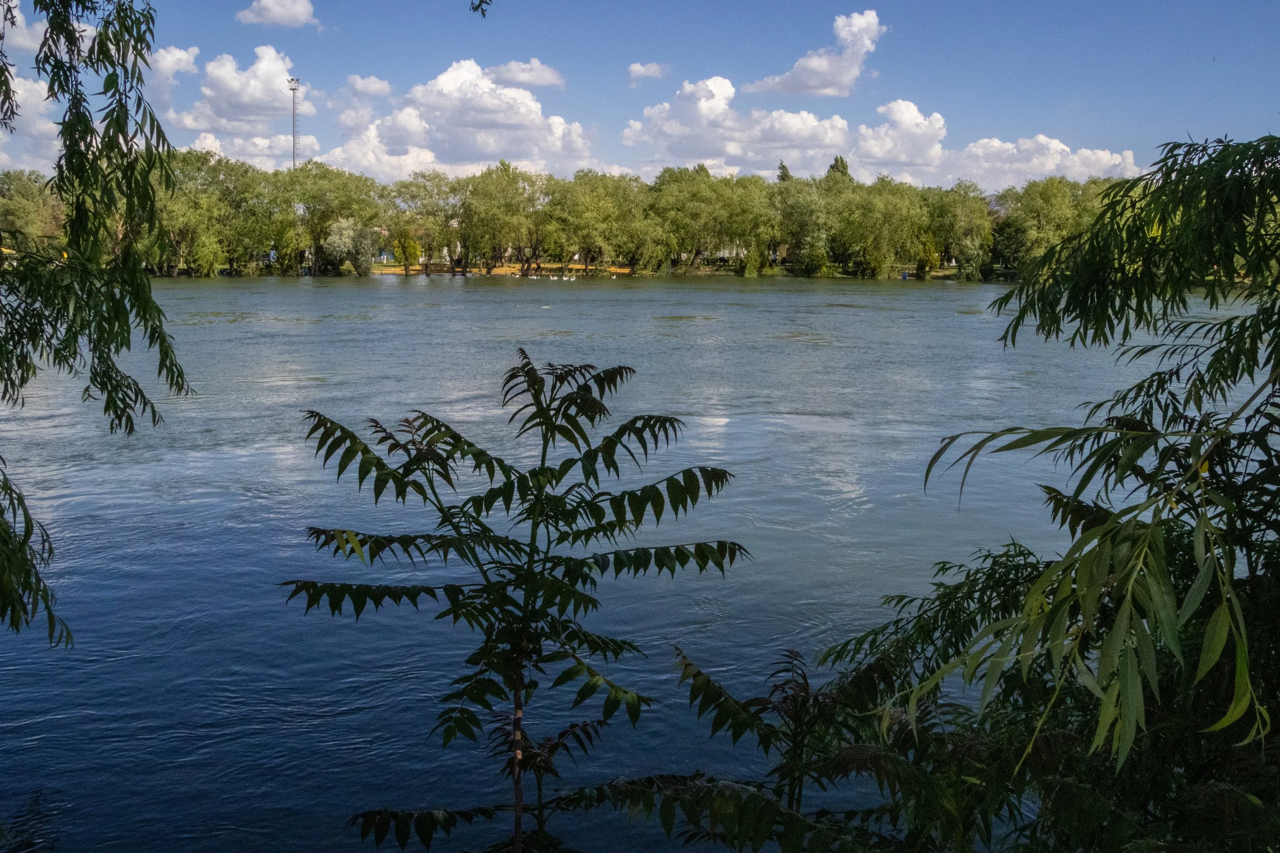
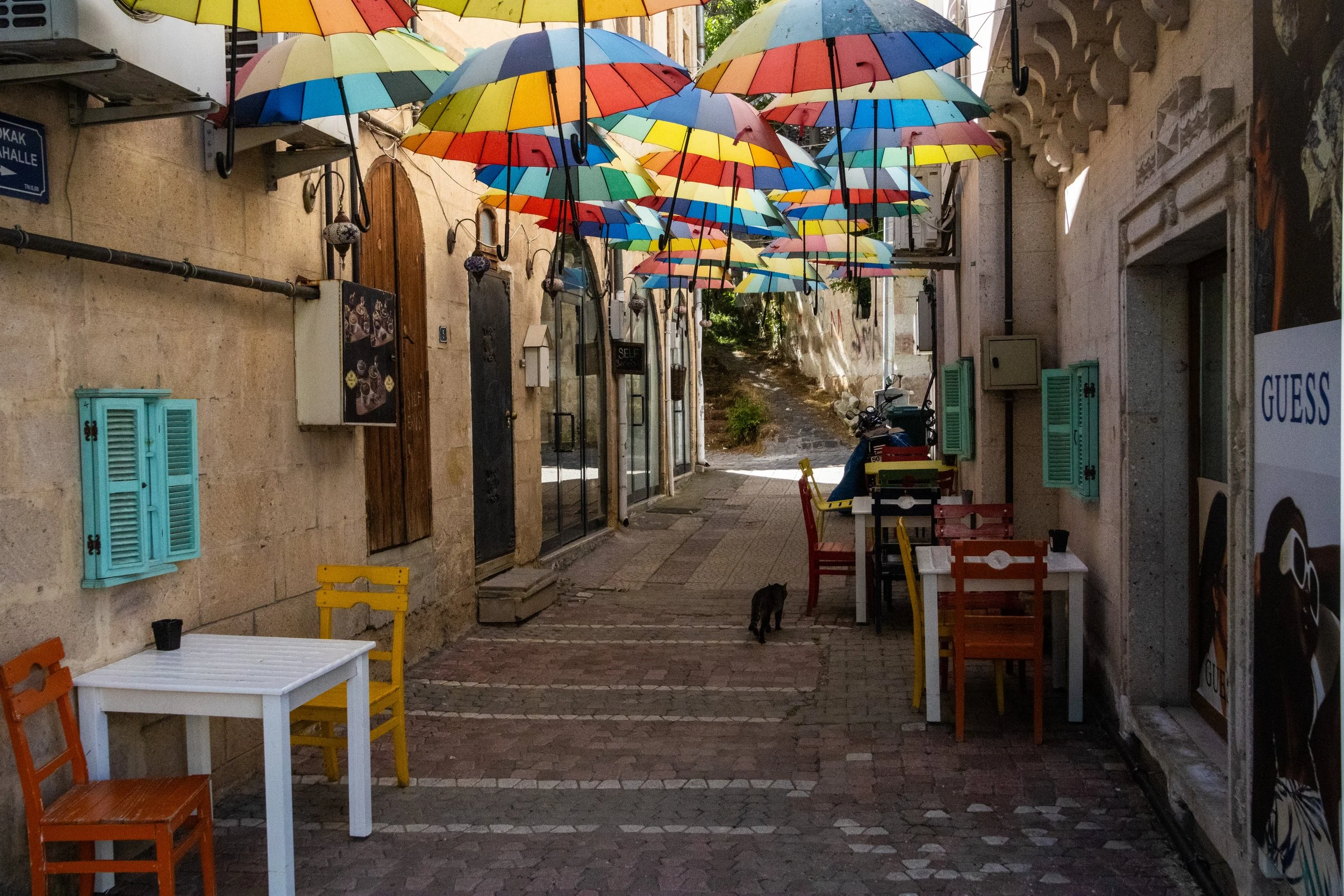
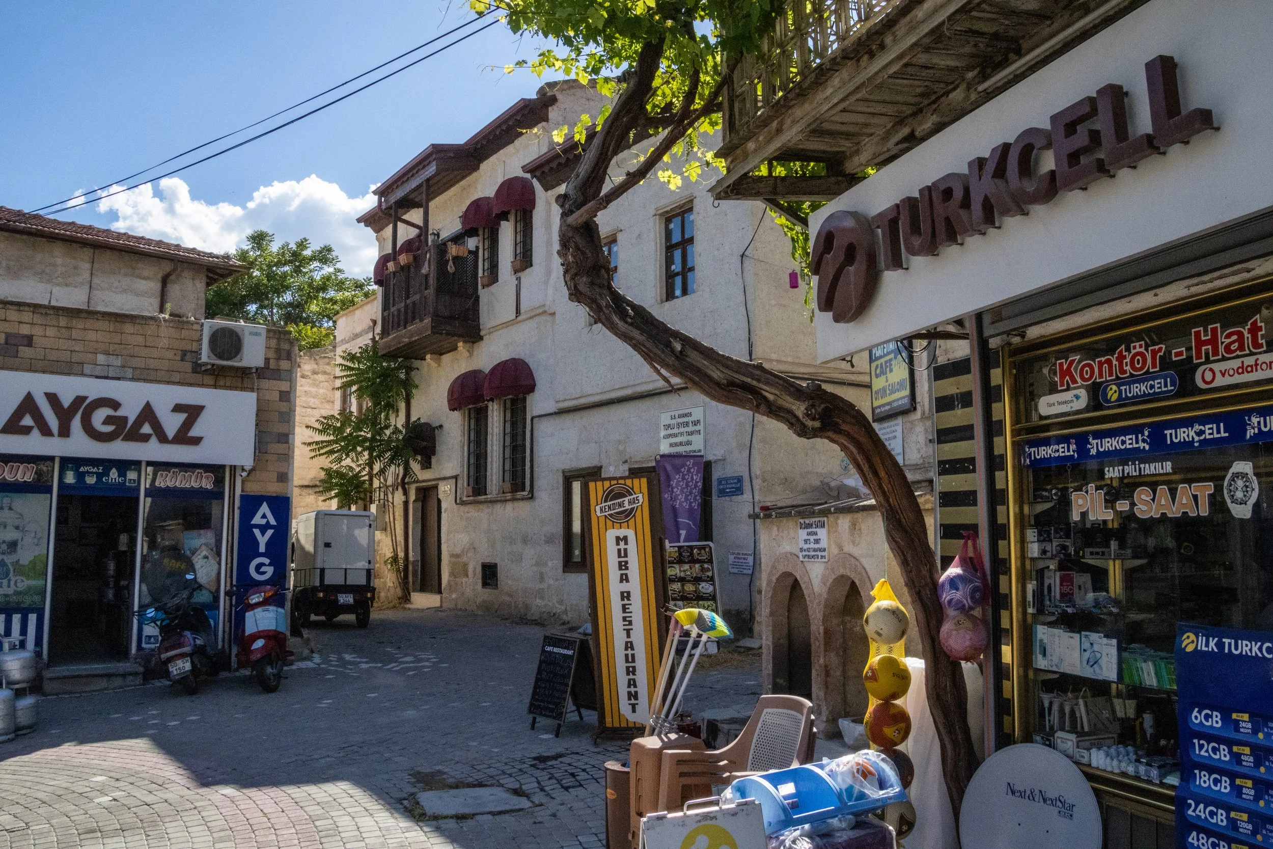
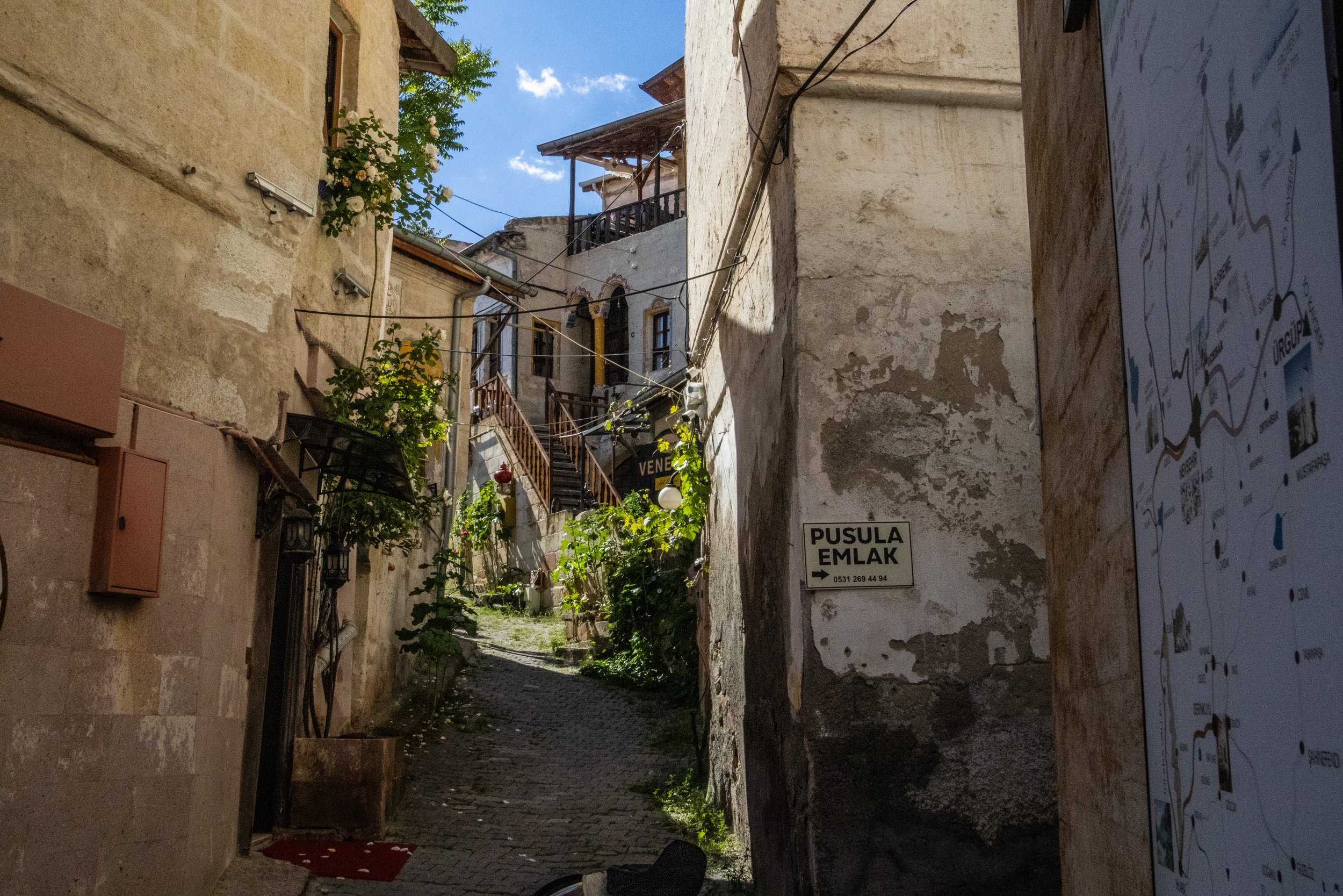
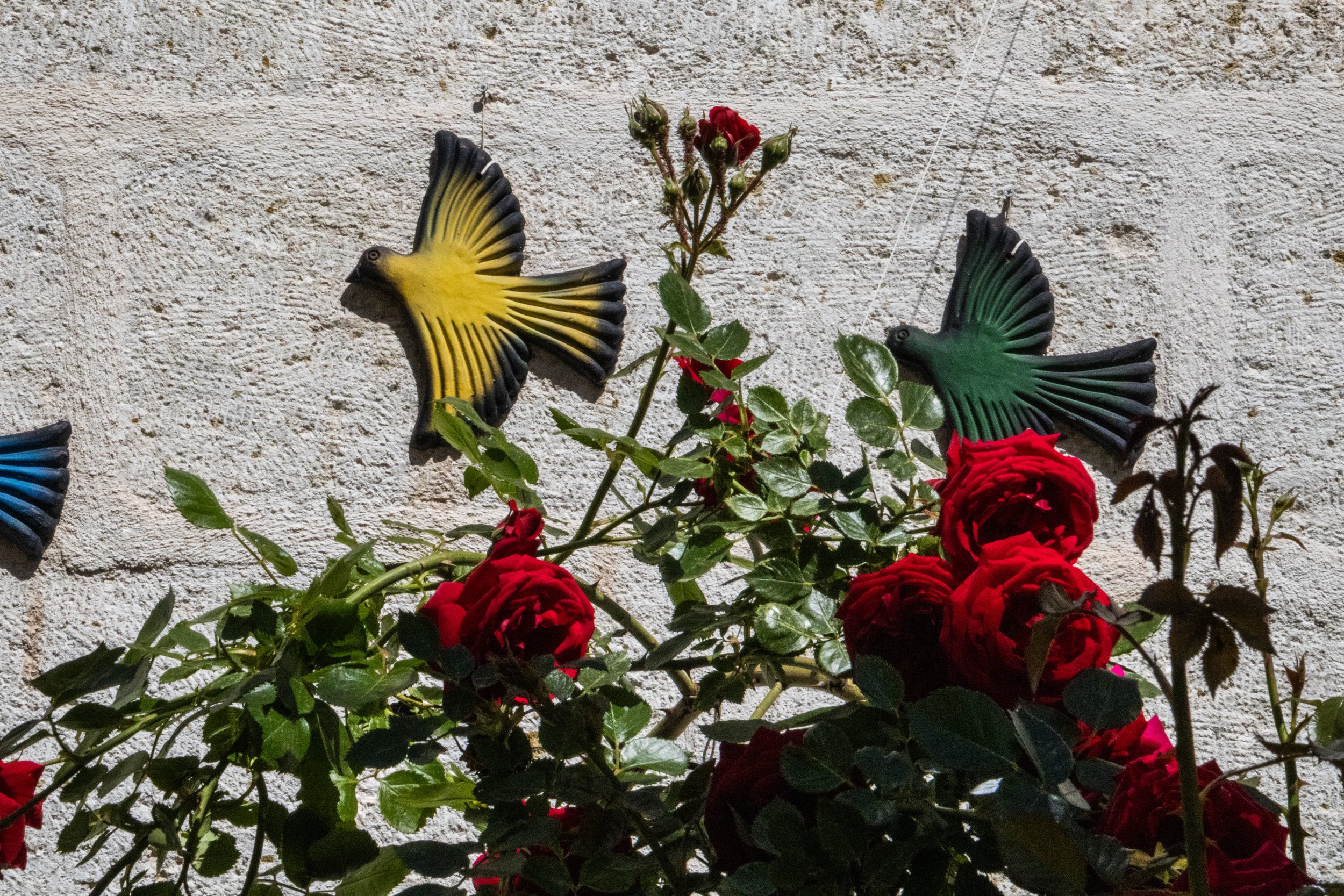
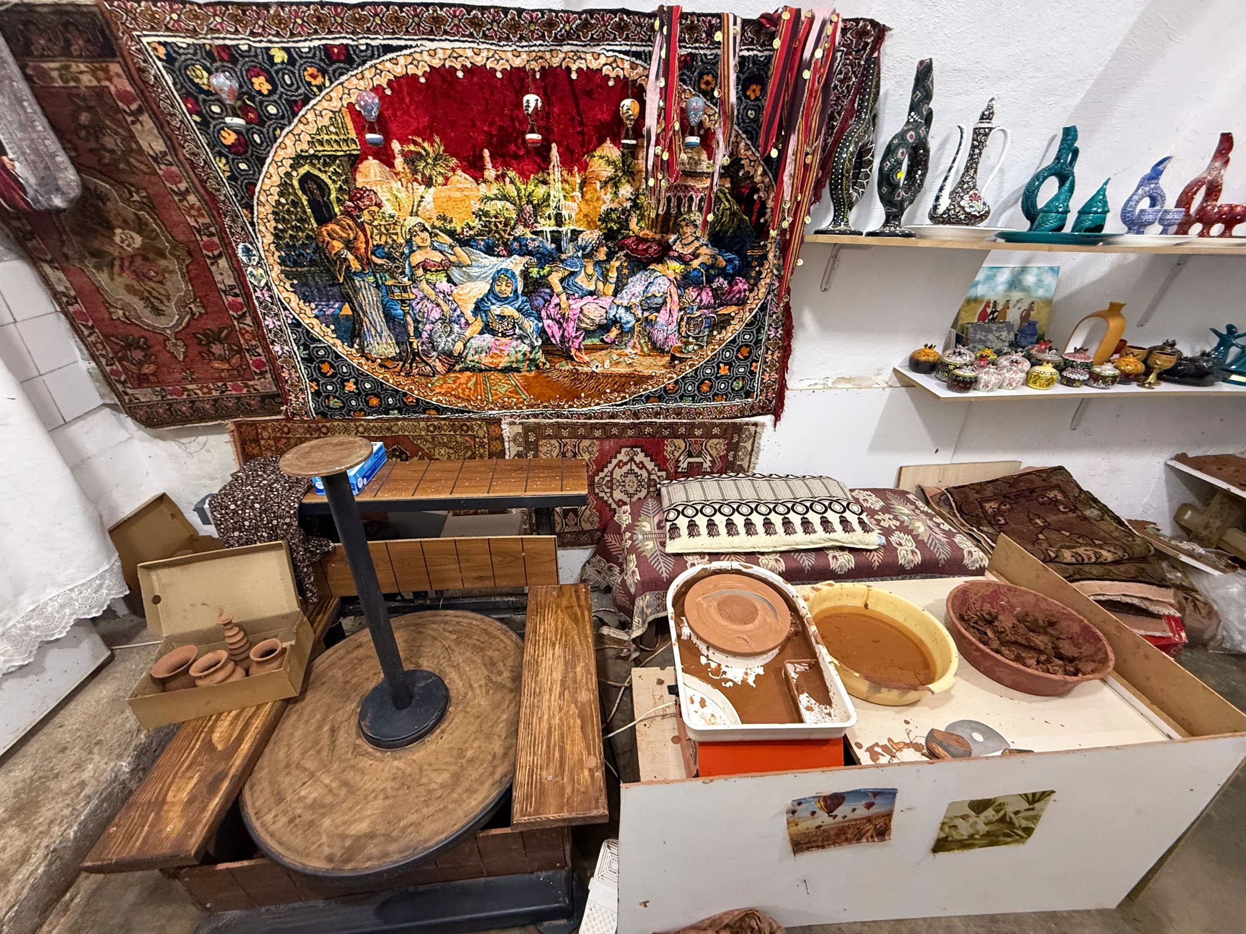
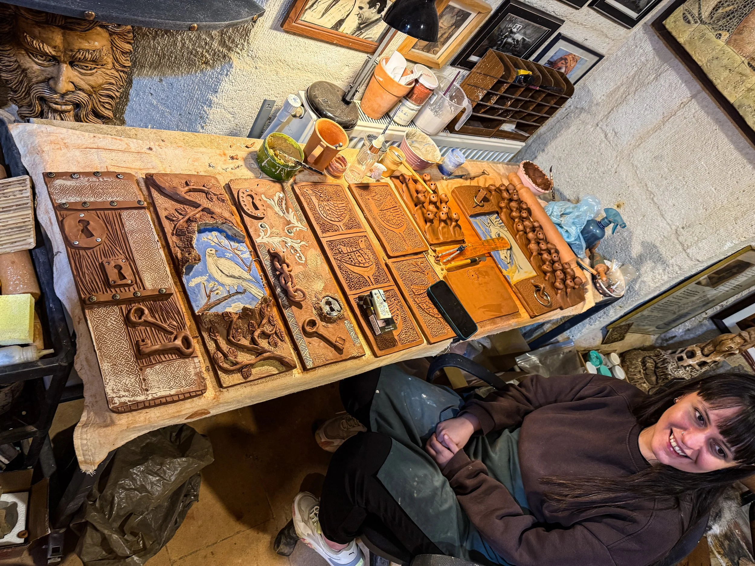
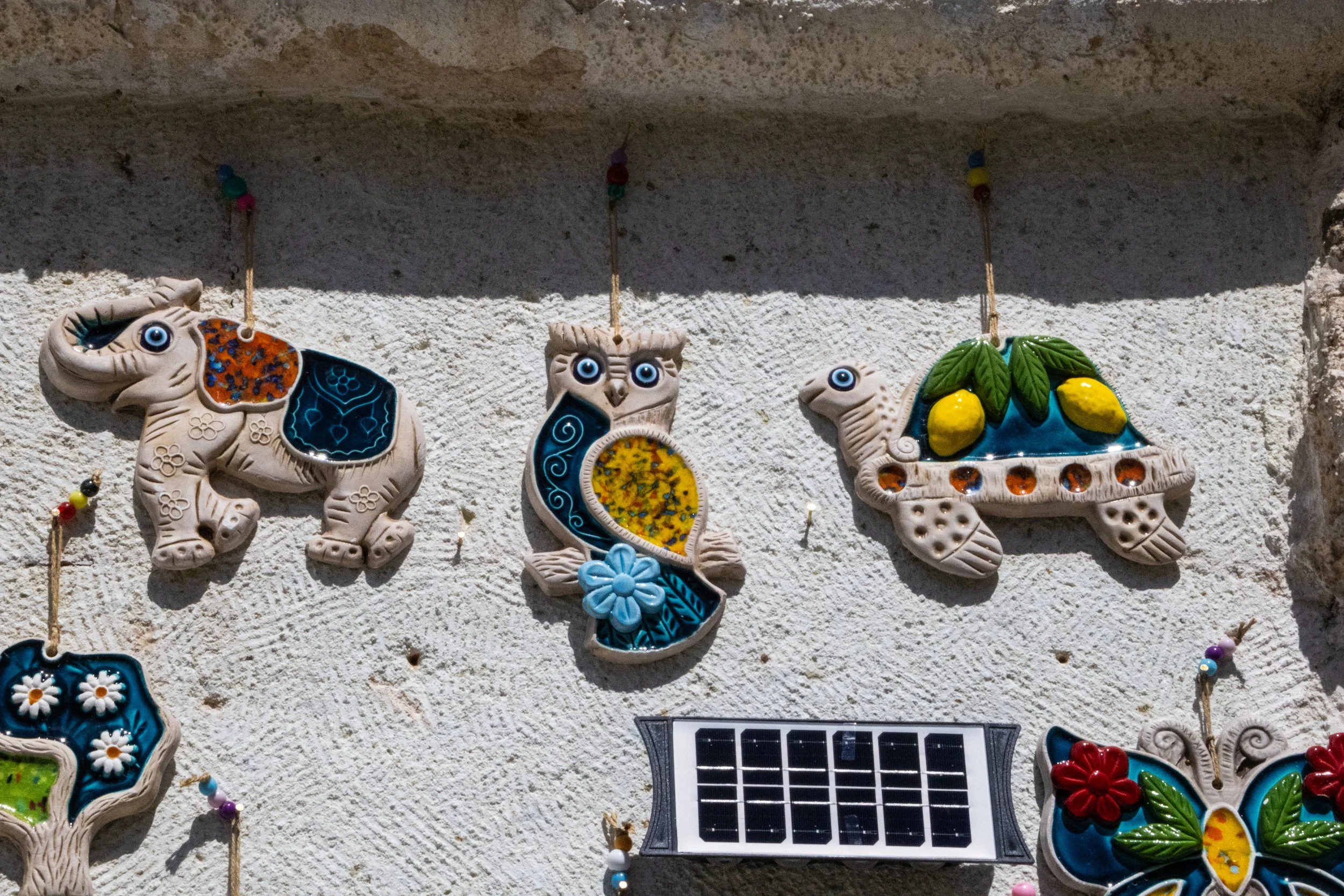
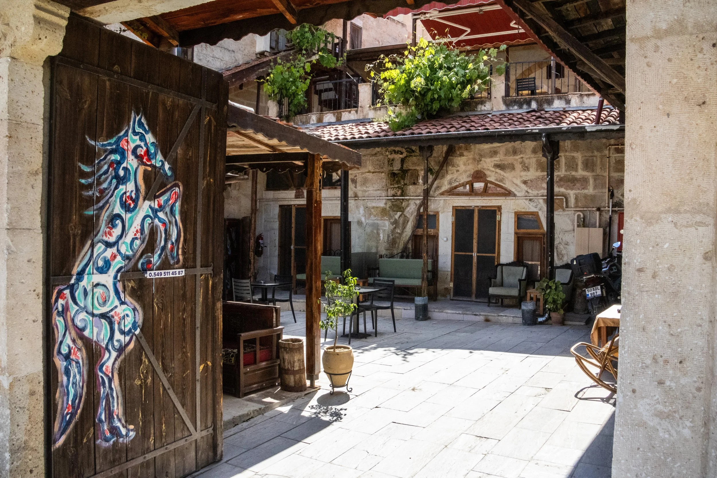
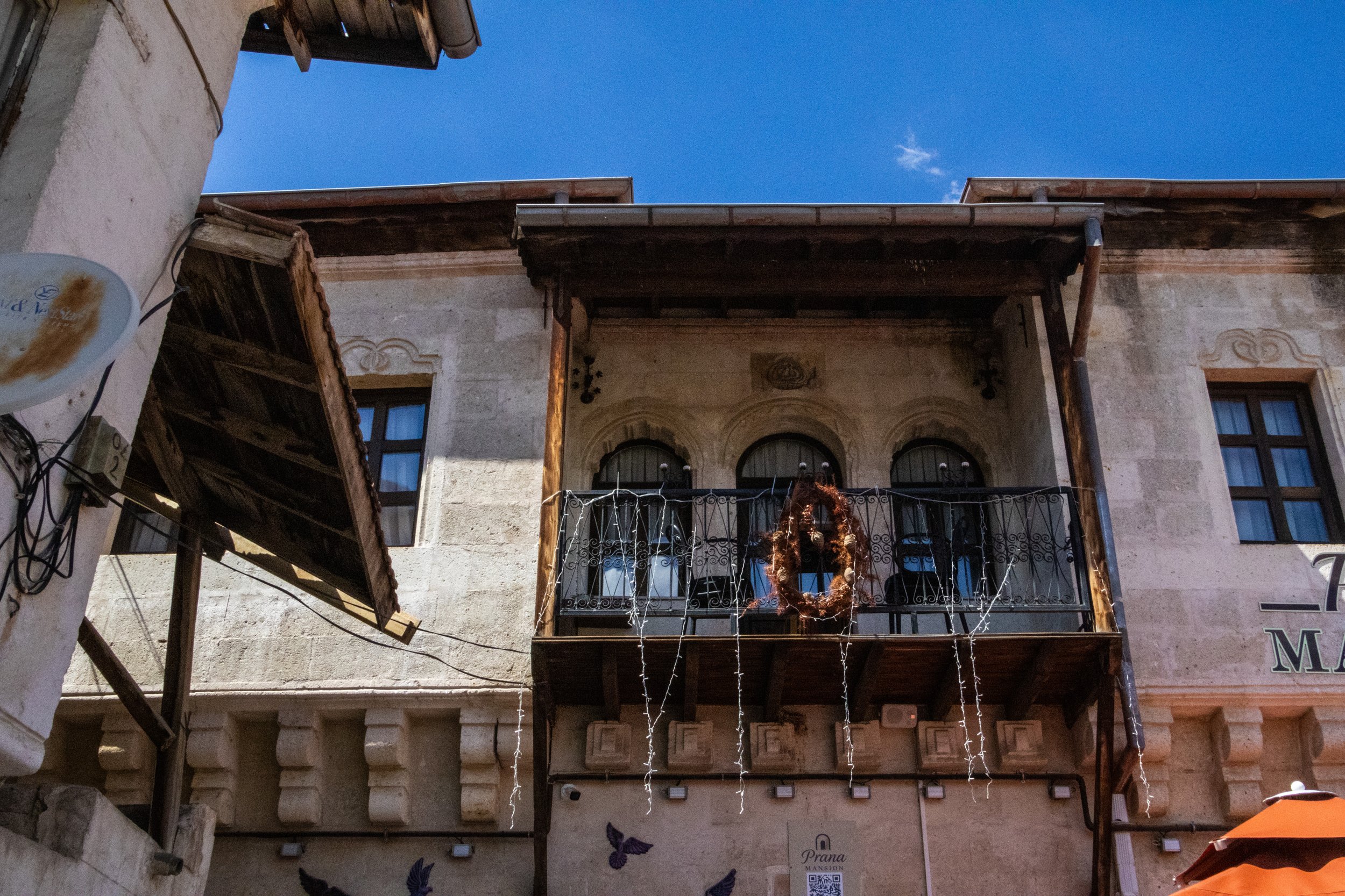
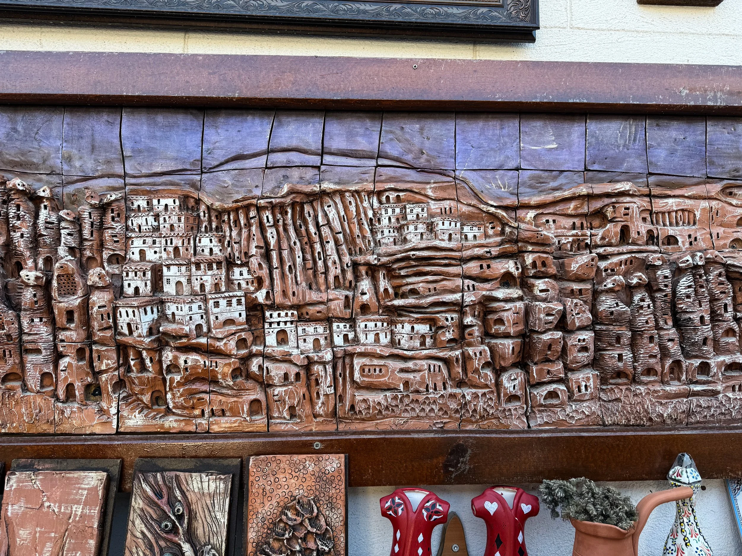
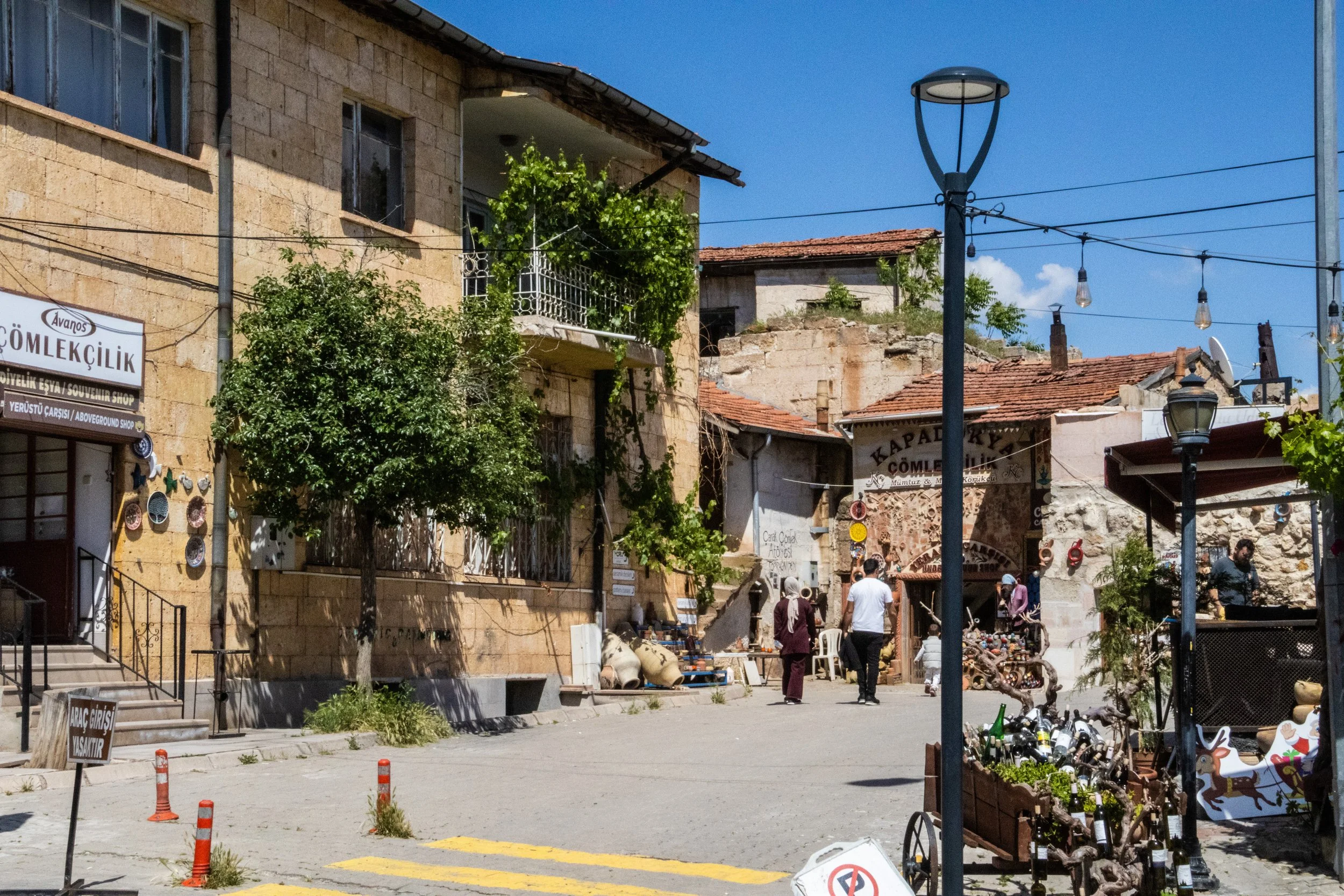
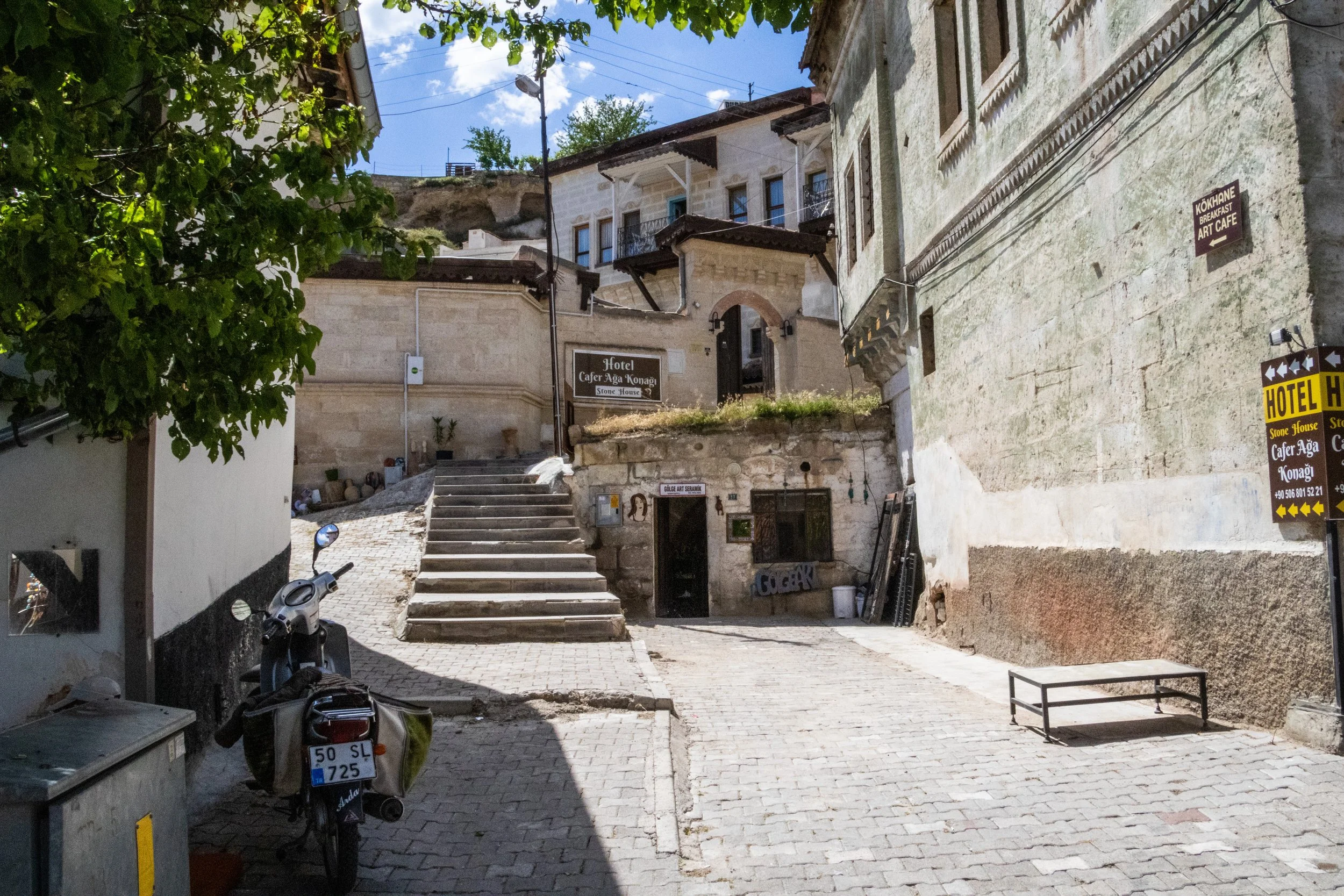
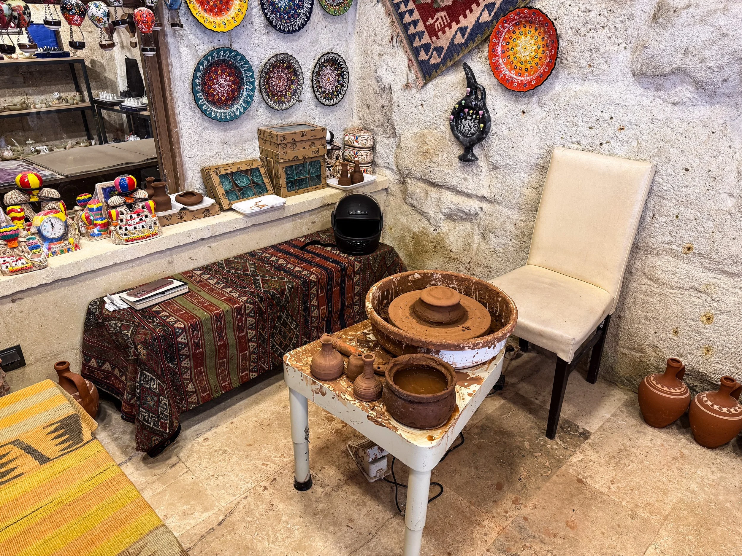
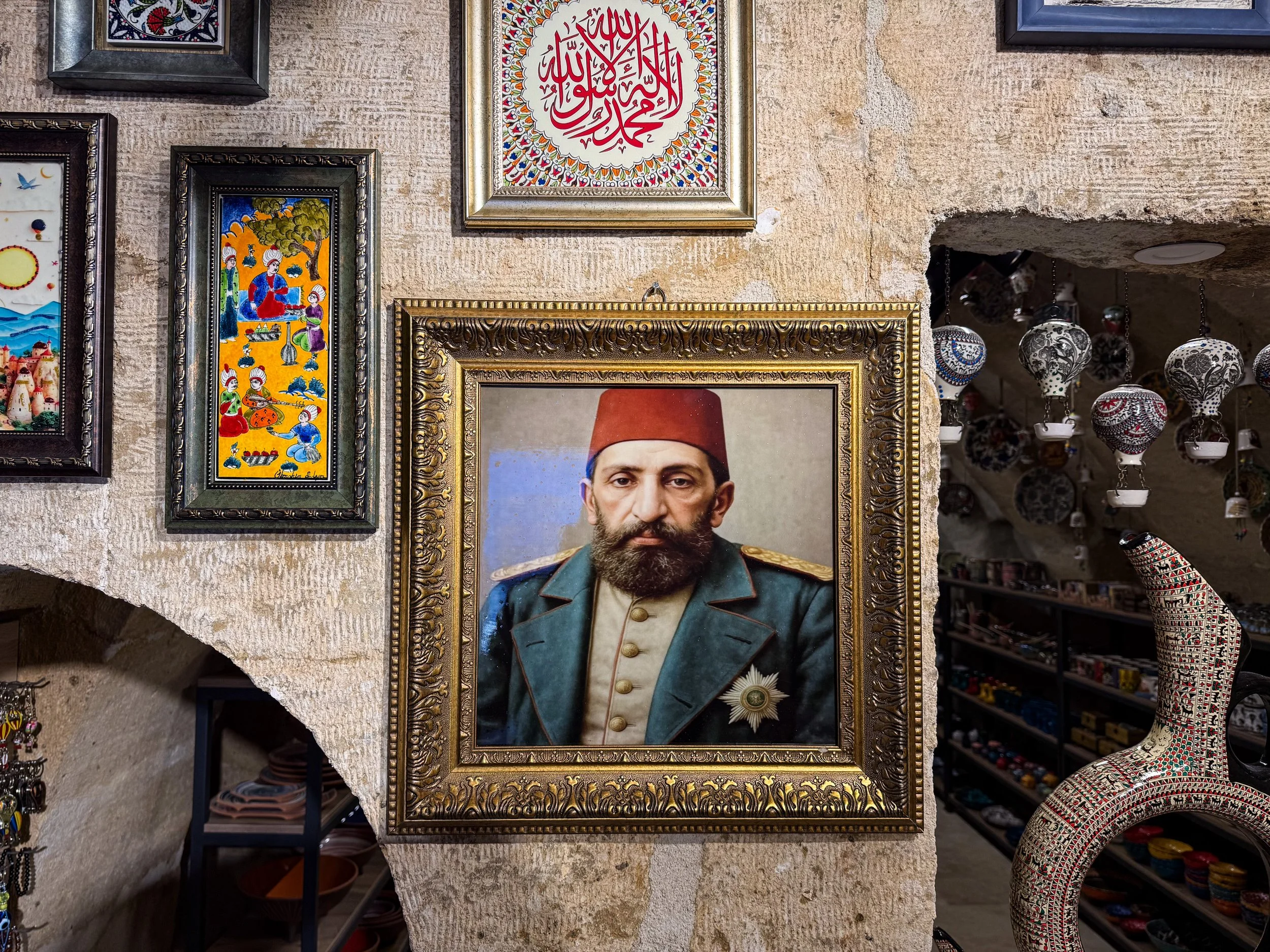
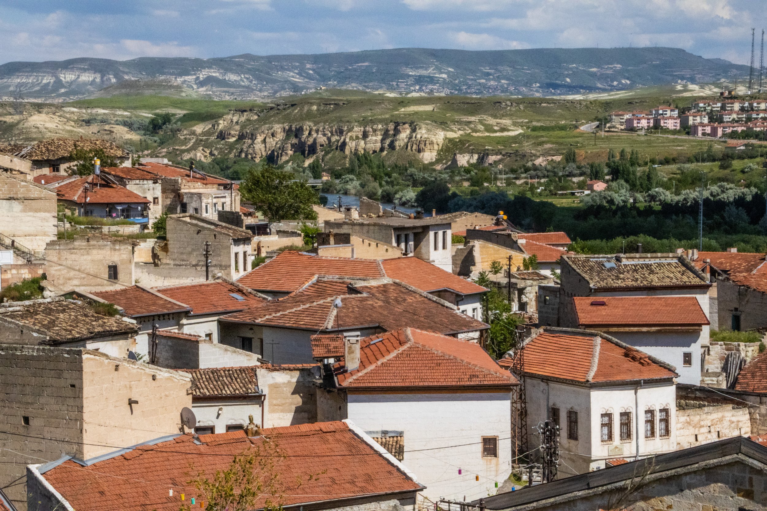
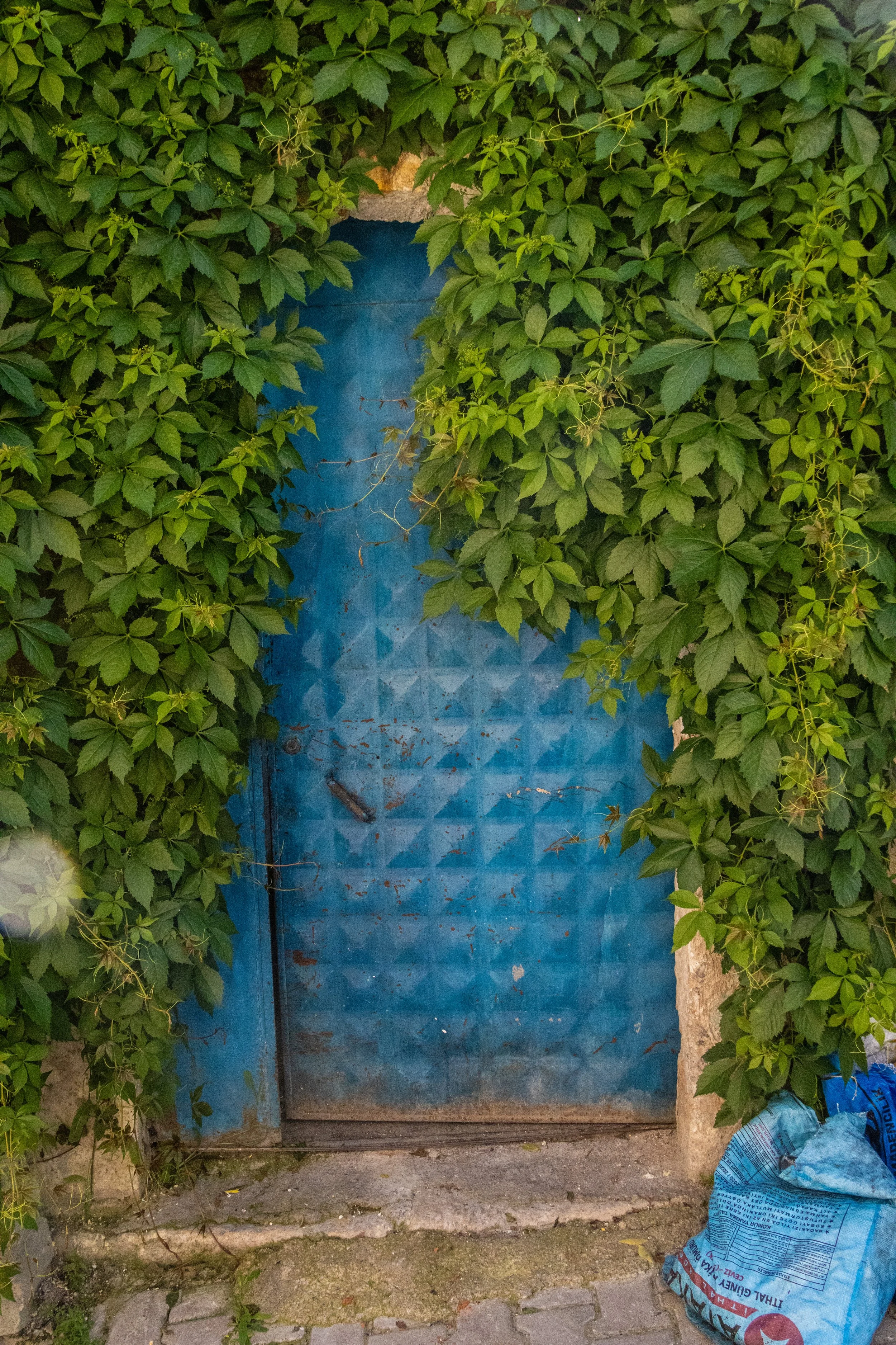
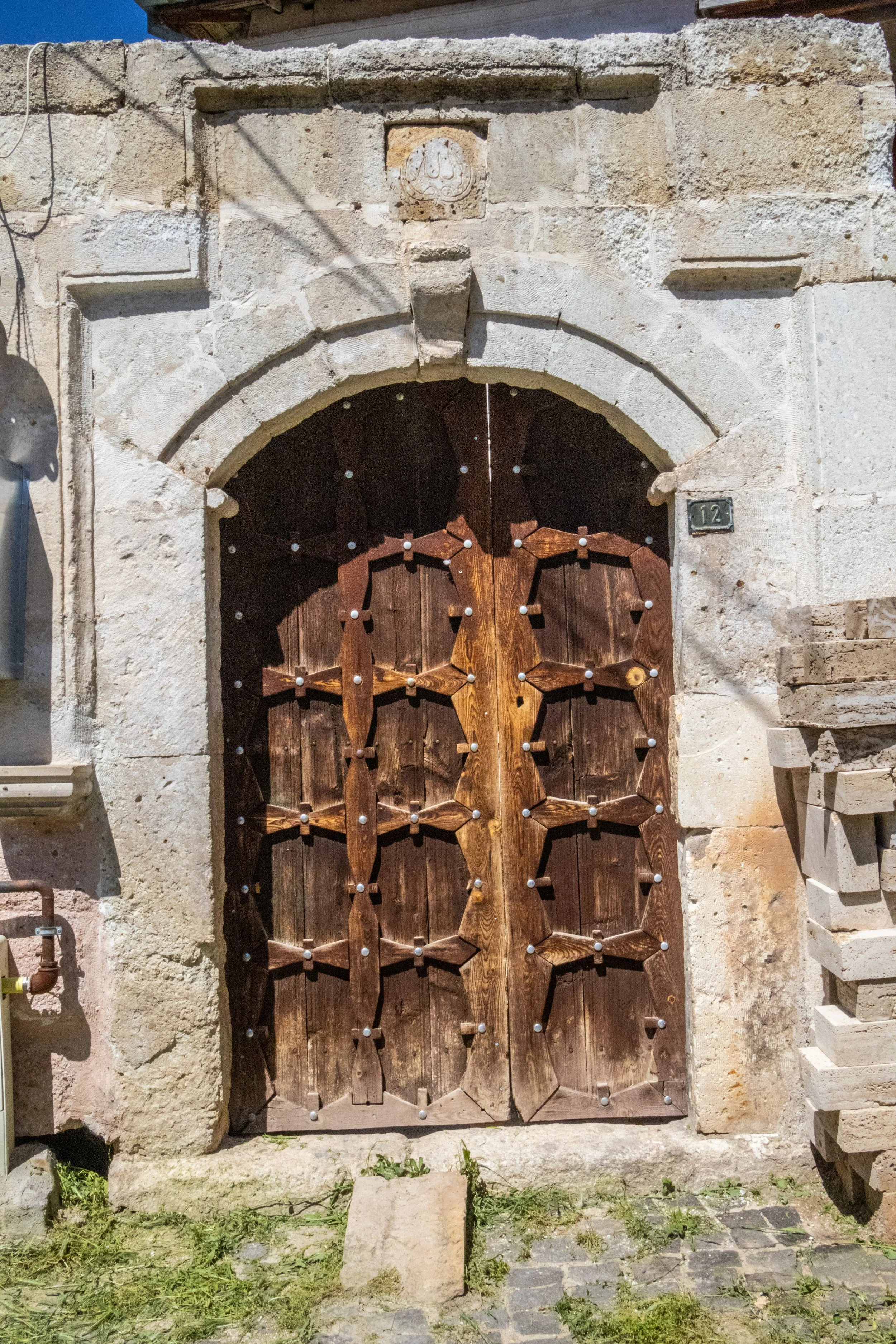
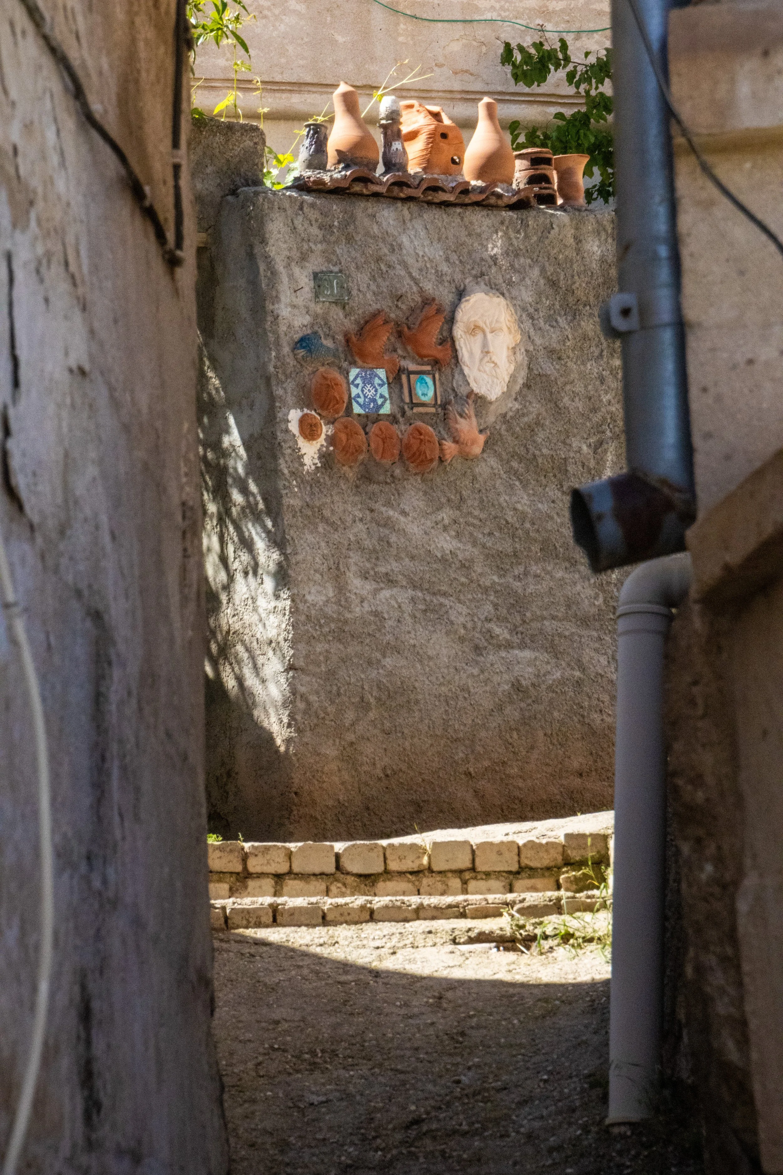
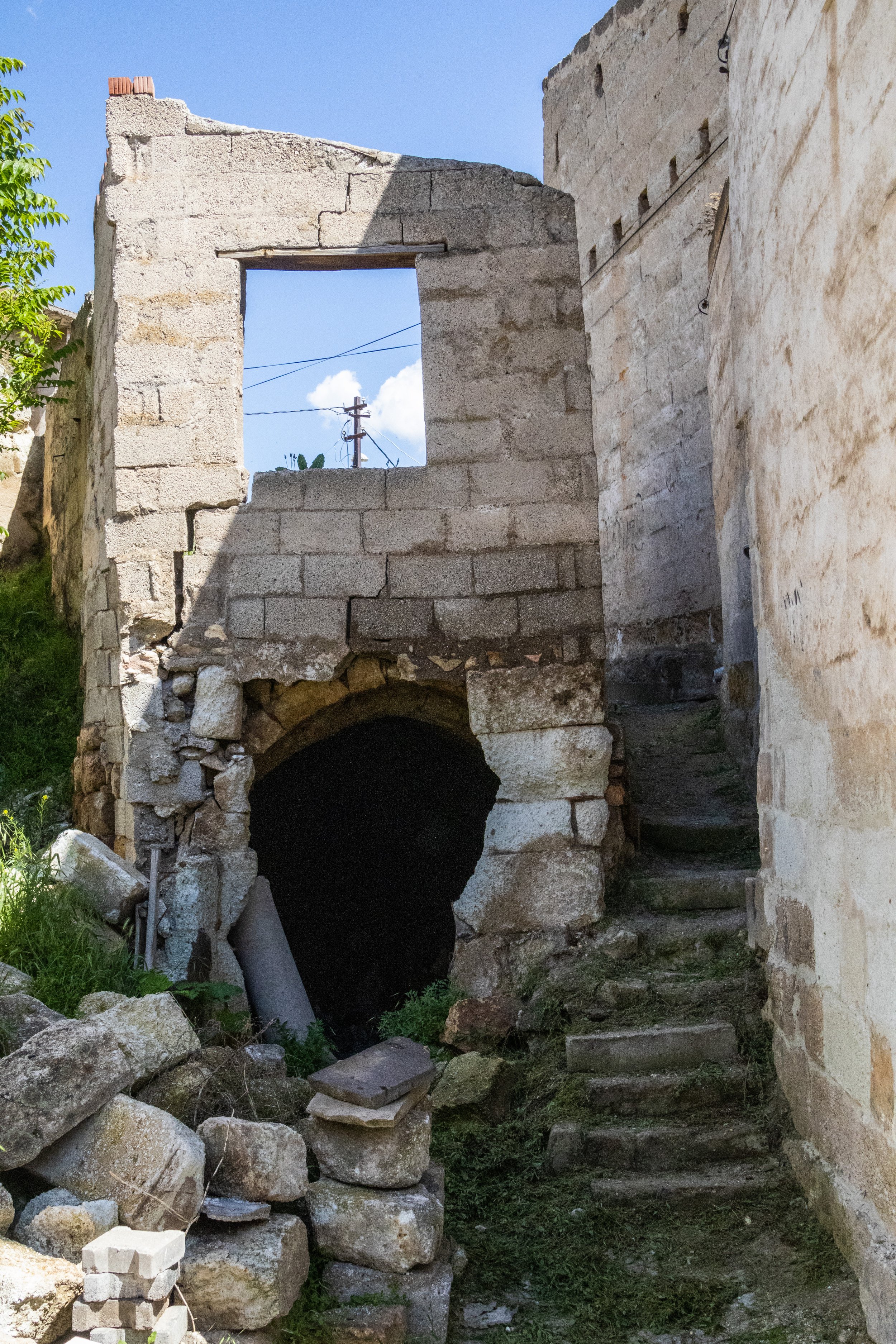
Avanos sits on the Red River (or, in Turkish, Kizilirmak) which has rich deposits of clay that have been used for pottery for thousands of years, dating all the way back to the Hittite era. As advertised, “the pottery village” did indeed have a lot of pottery for sale. Some of it was clearly geared toward tourists, but I never felt like I was looking at gimmicky tourist junk even once. This was actually quite an artsy little town, and the pottery studios here were producing some genuinely beautiful work. The farther into the old town we ventured, the more it gave way to ruins, but we found inhabited, well-maintained art studios deep in the ruins all the same. In one such studio, a girl heard my American accent and asked where I was from (Ohio). Get this: she was from a small town in Indiana, just a few hours from where I grew up! Small world. (For my non-American readers, Indiana is the US state next to Ohio: both quite obscure places once you’re on the other side of the planet. What are the odds?) And she was apparently living in Avanos. 🤷♂️
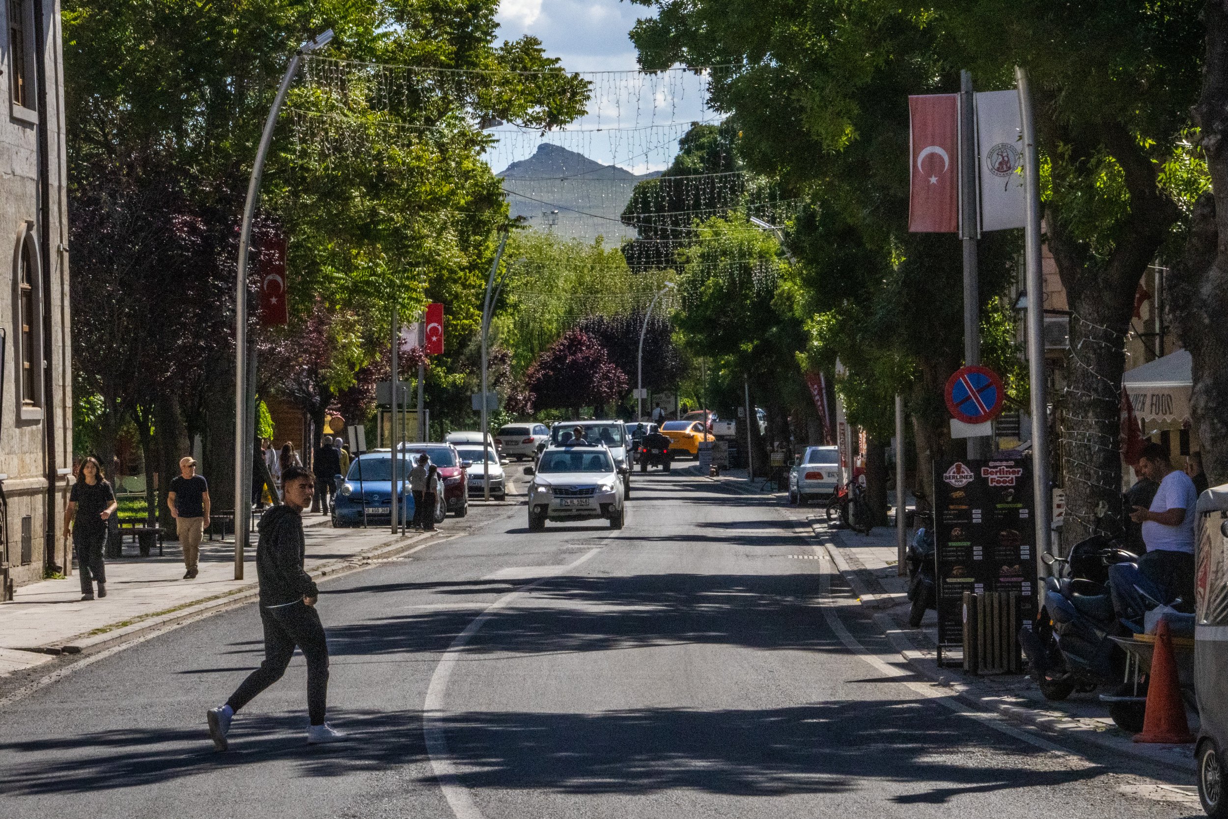
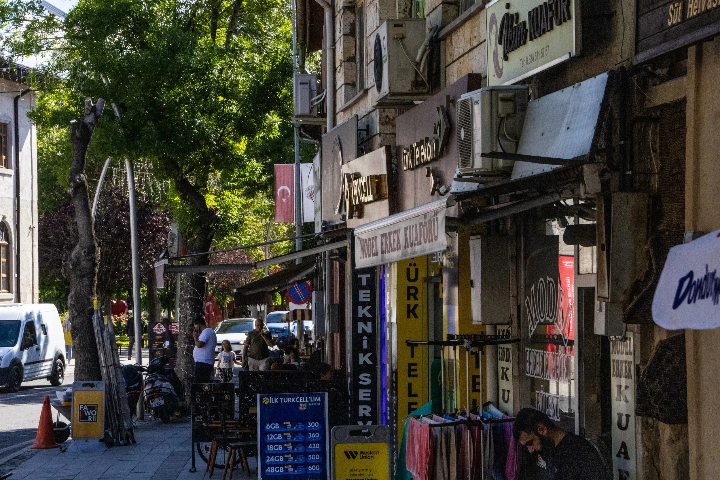
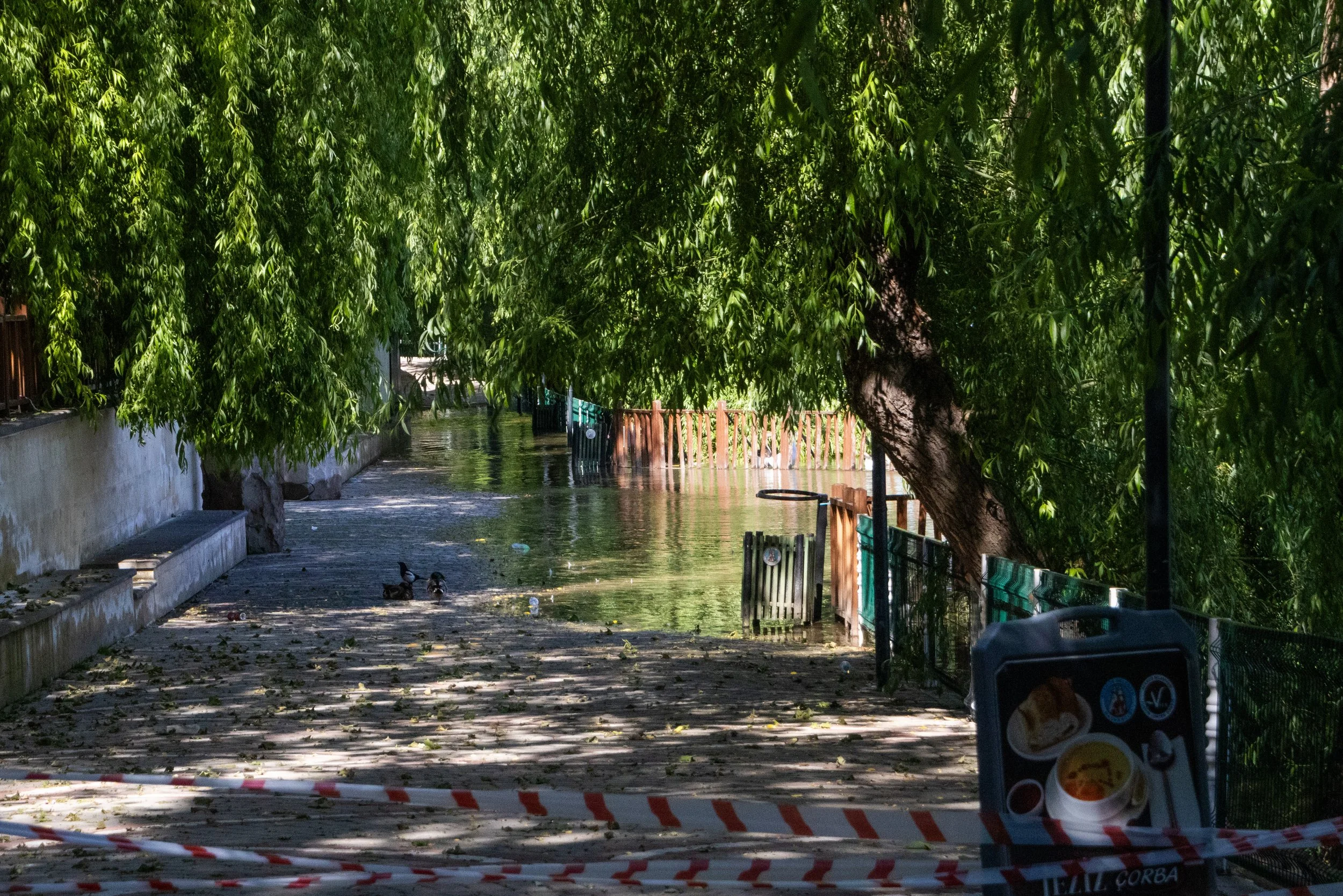
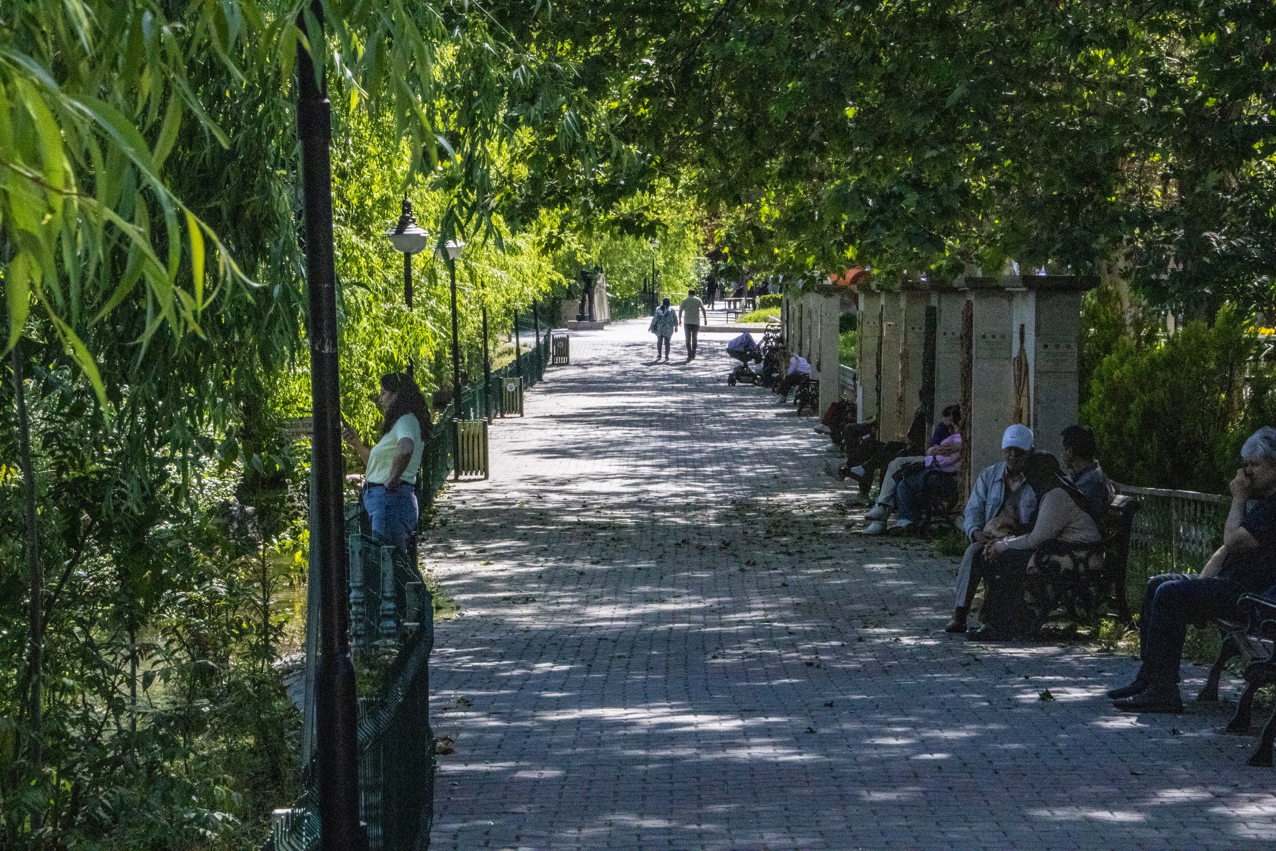
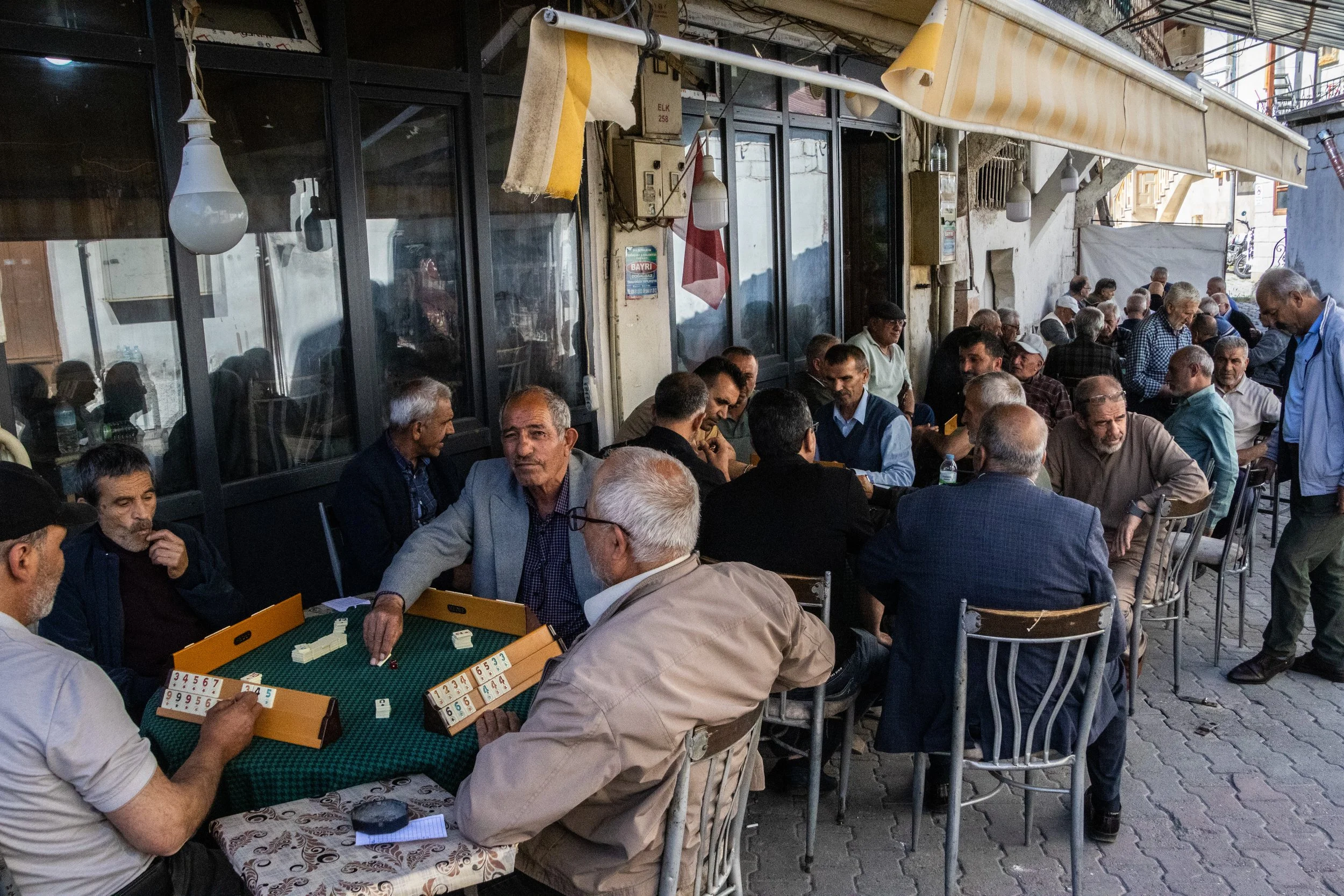
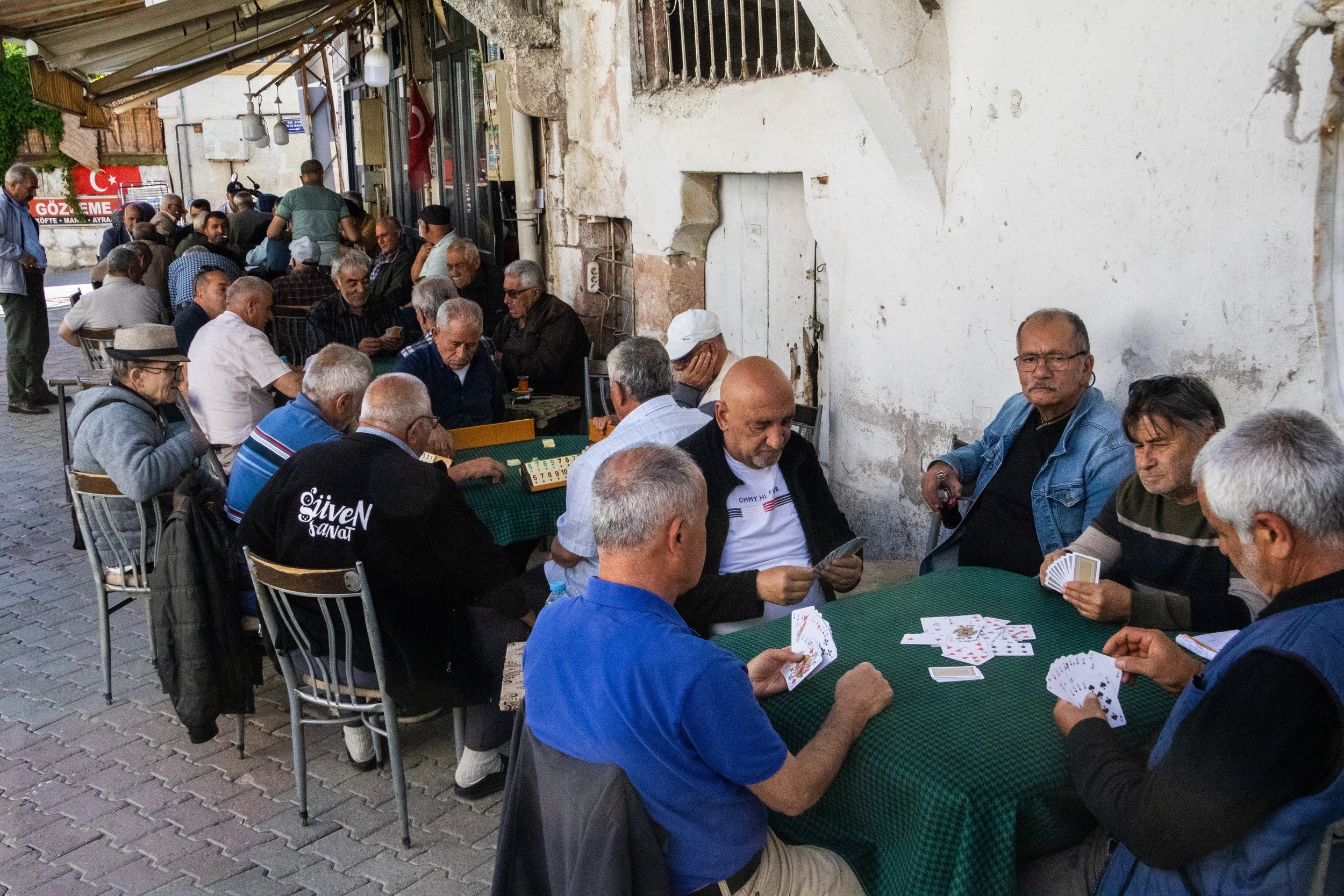
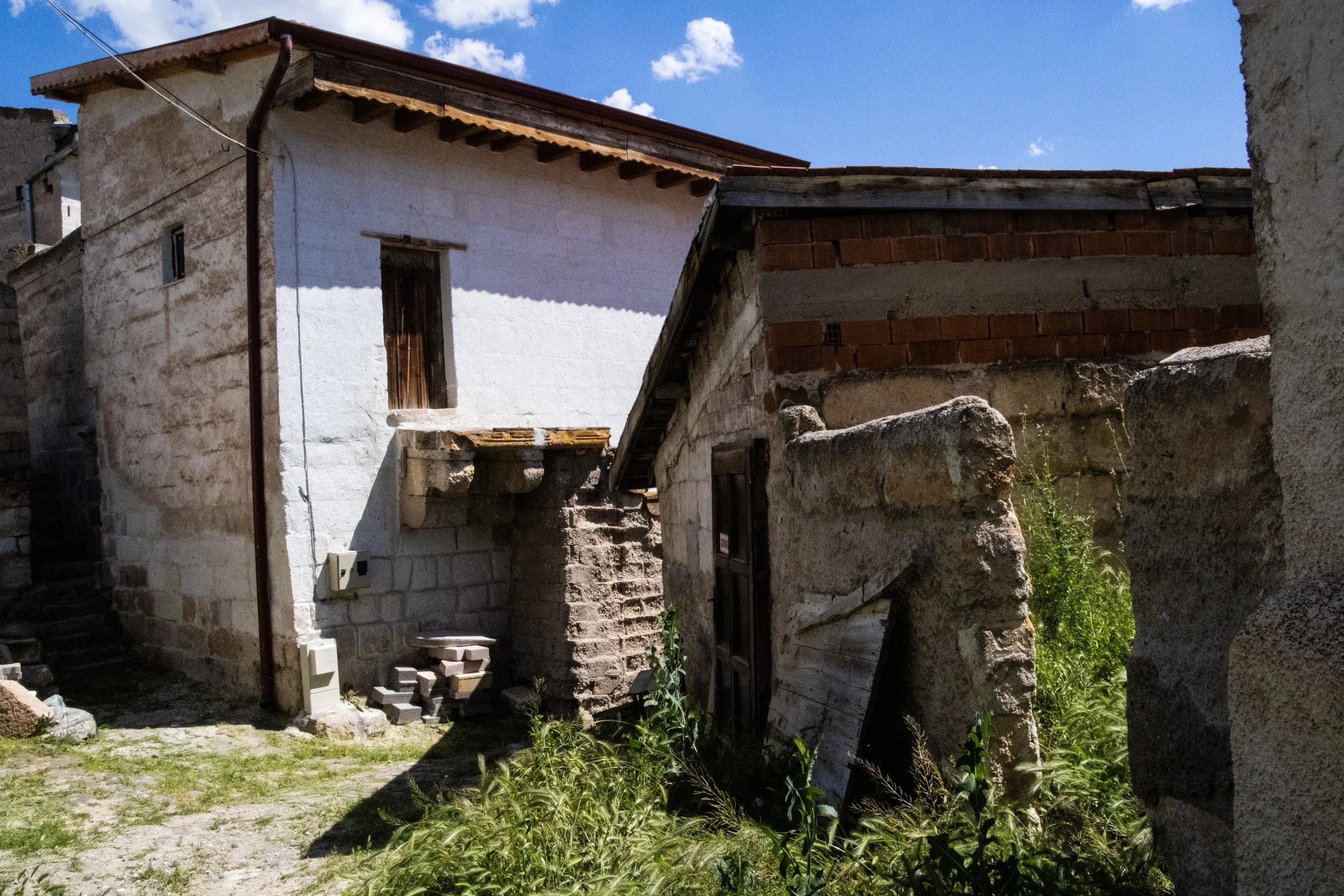
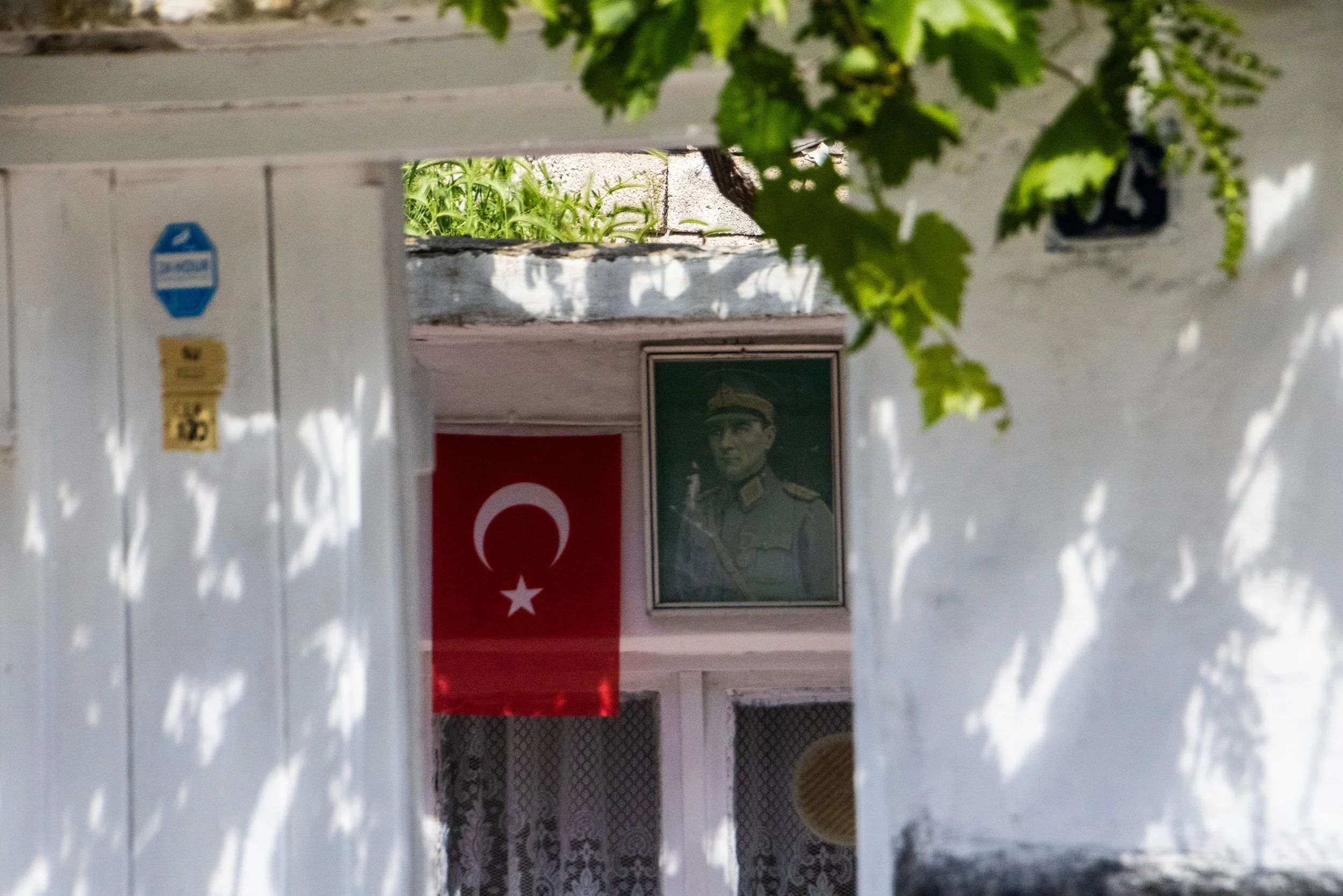
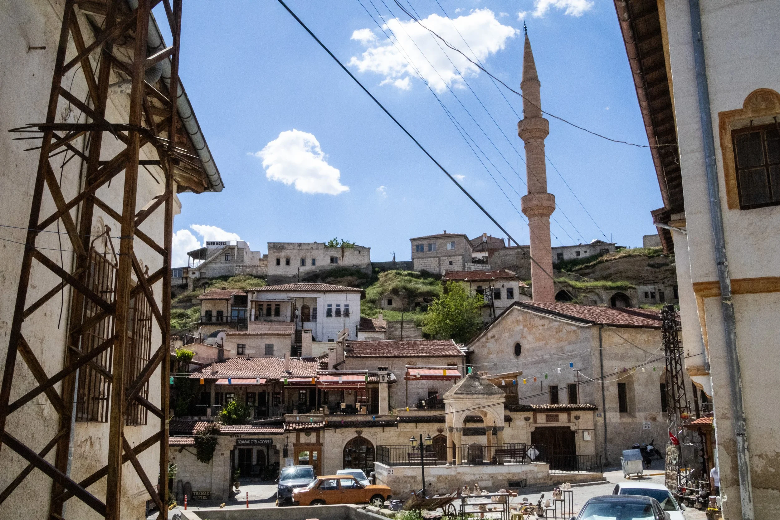
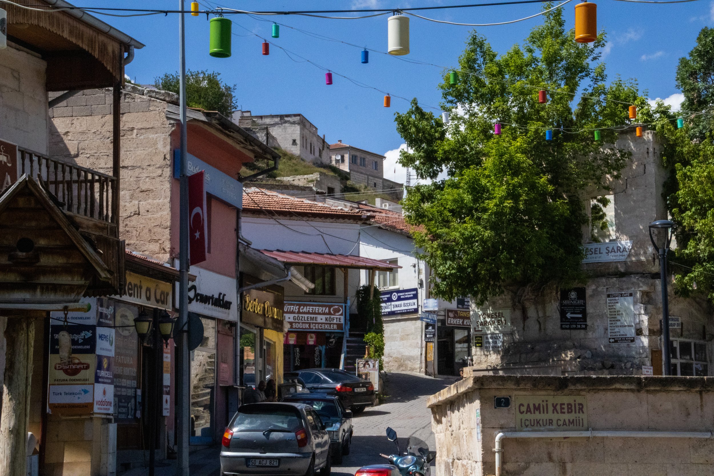
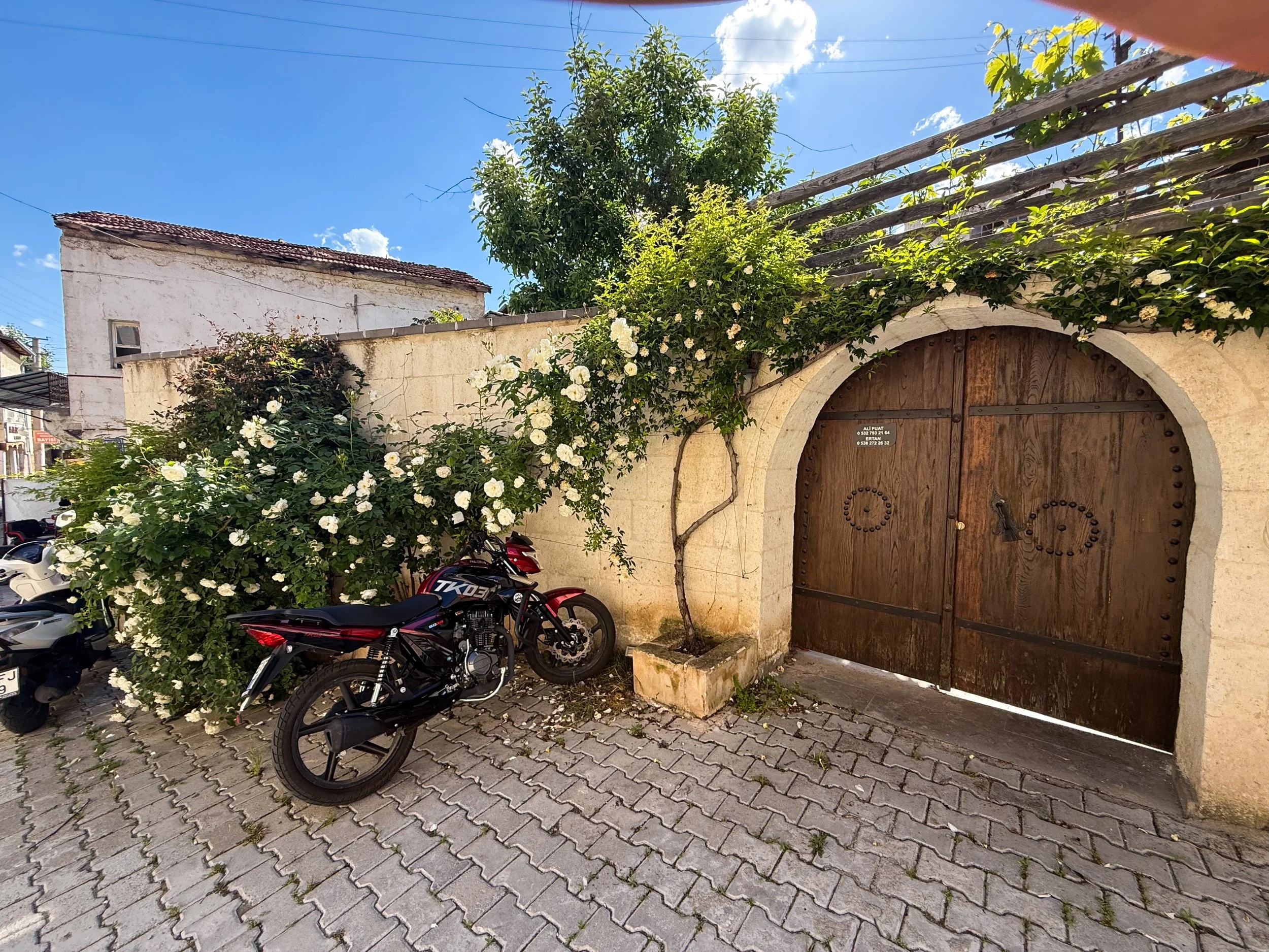
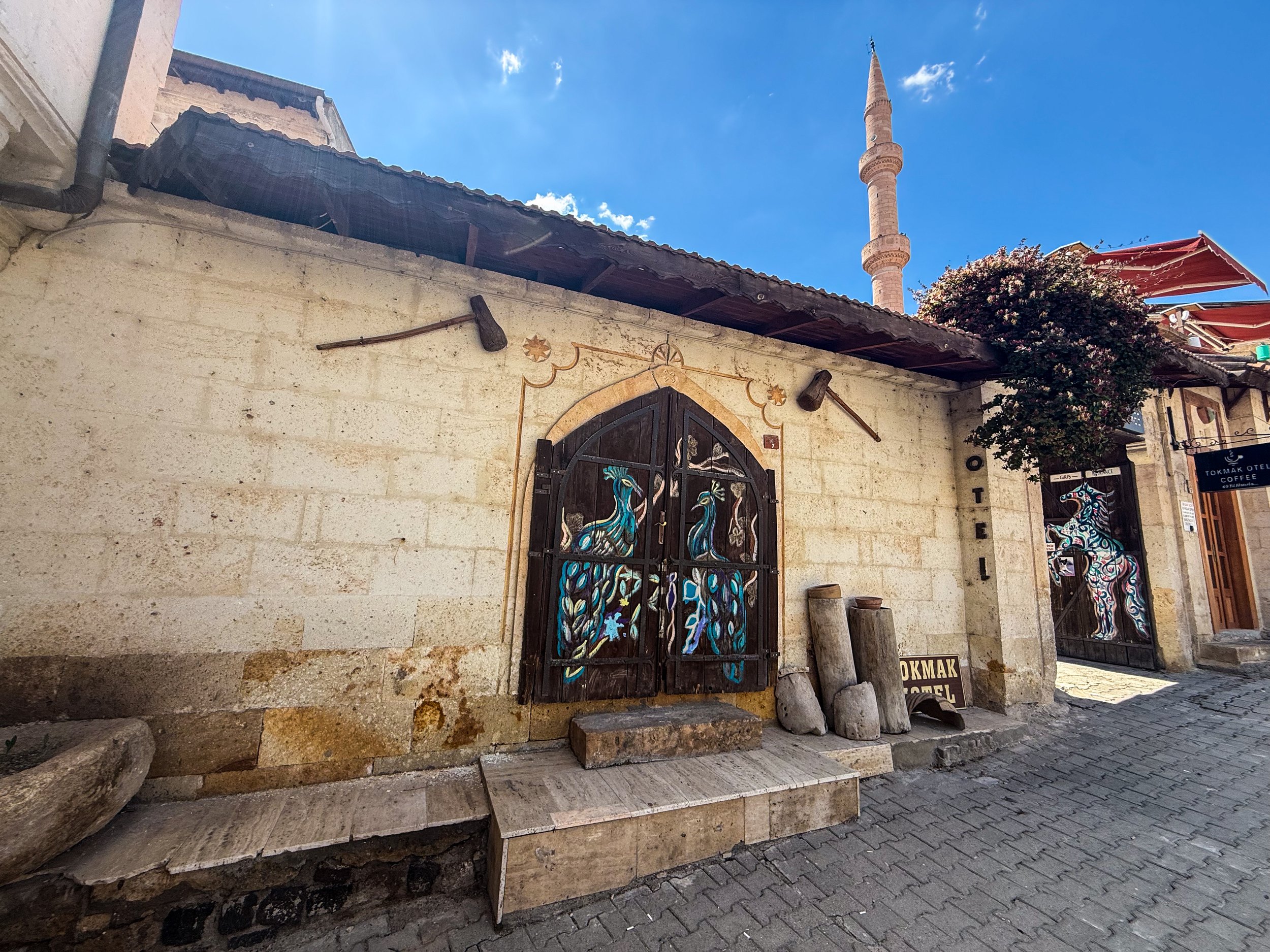
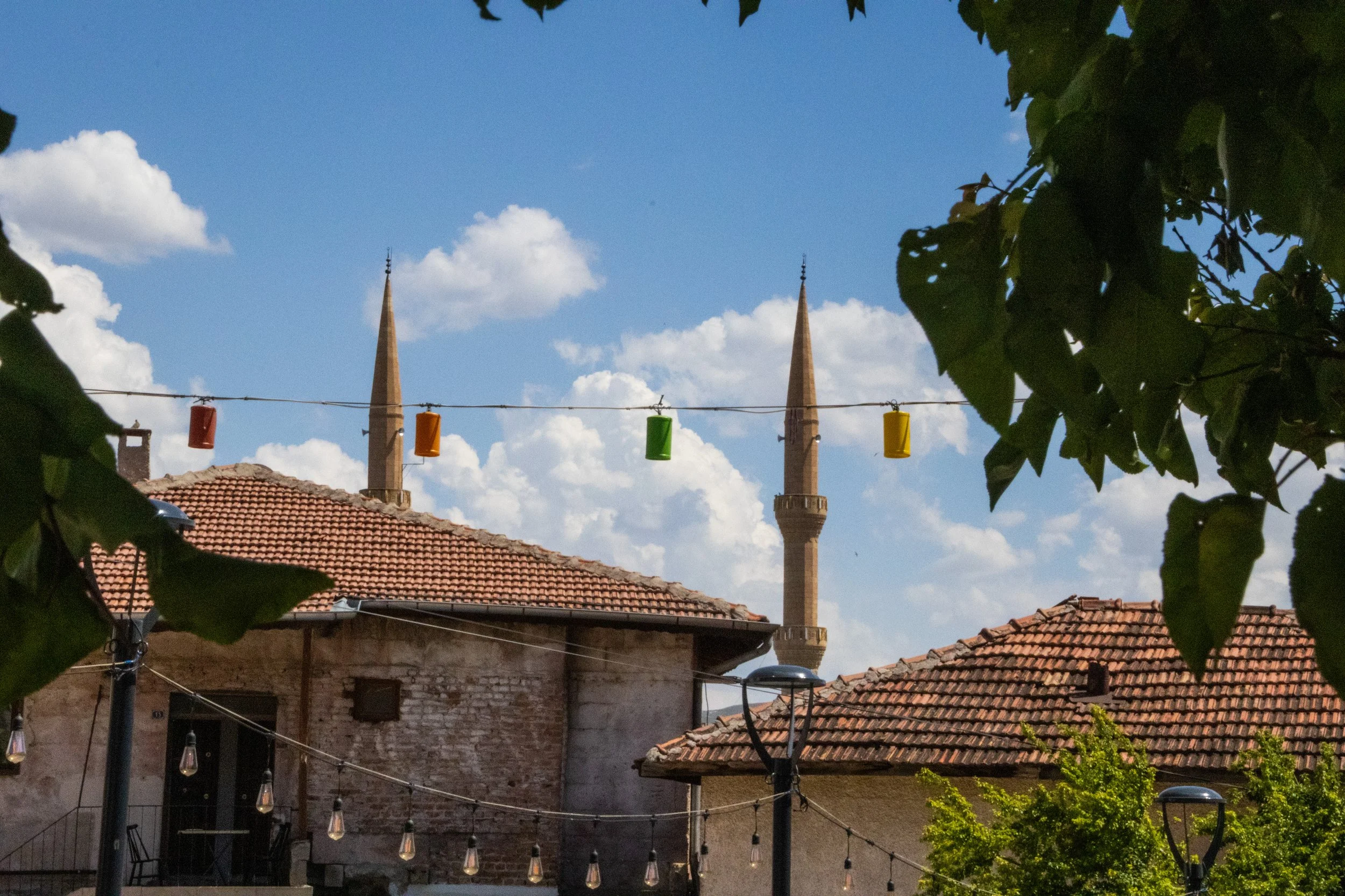
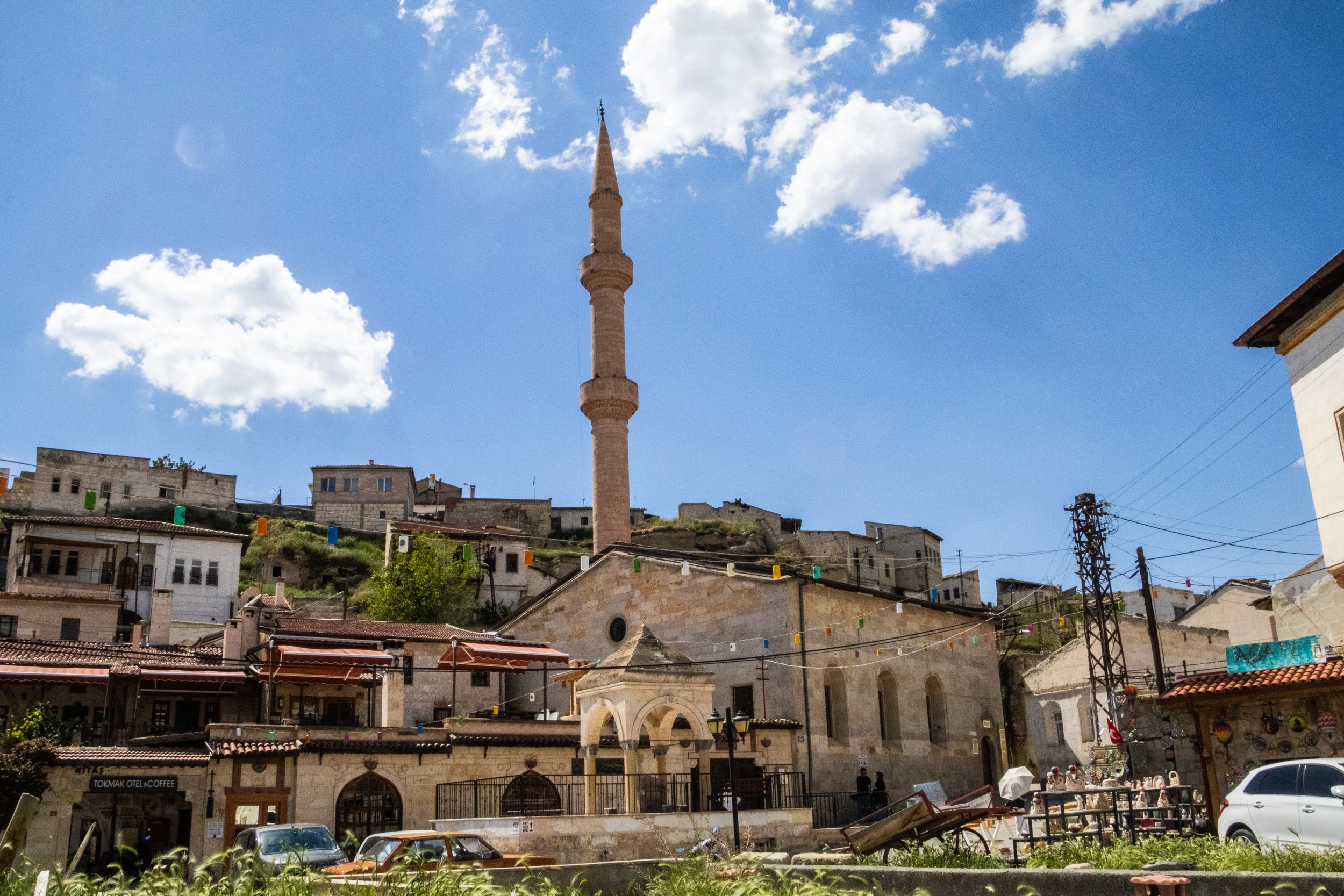
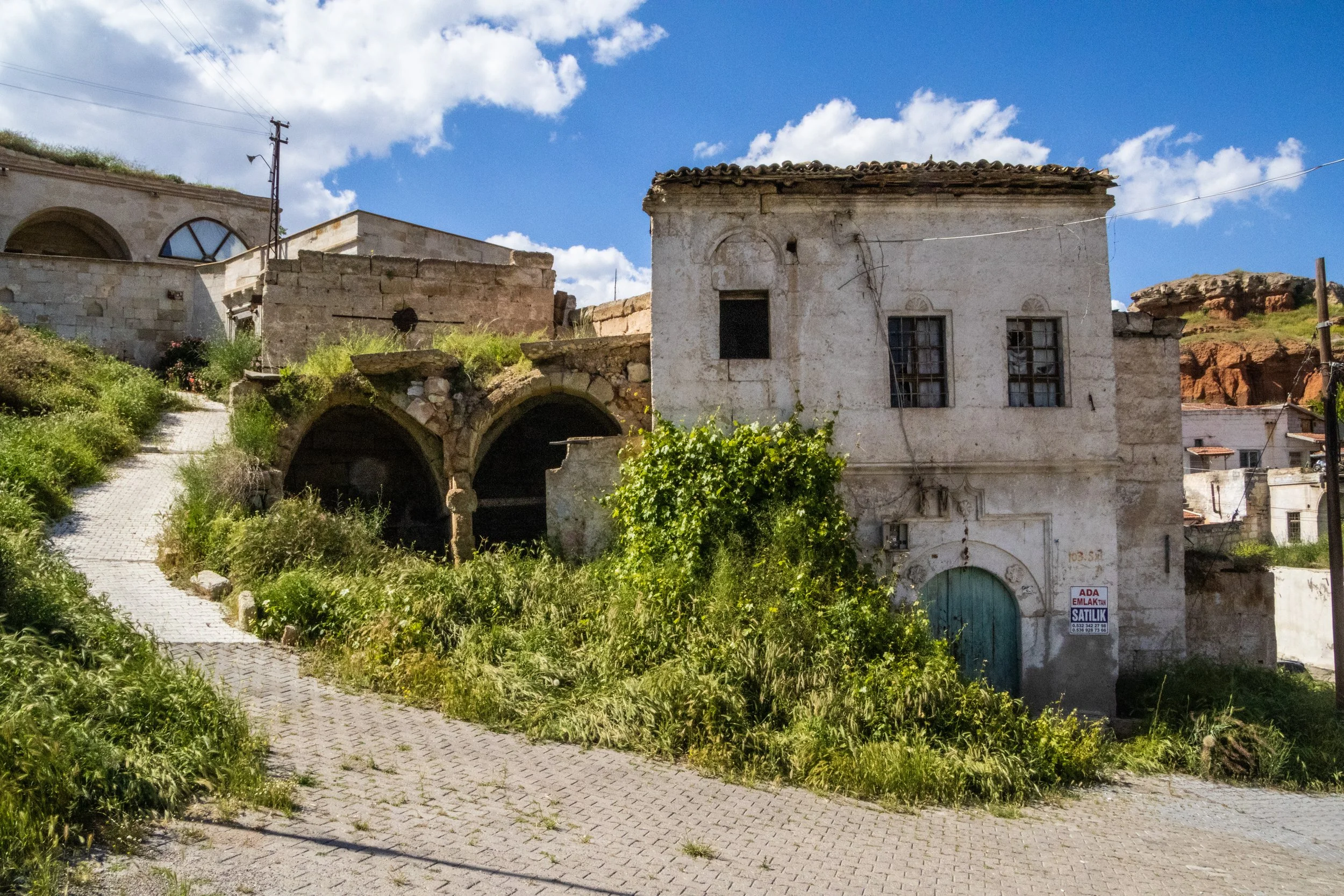
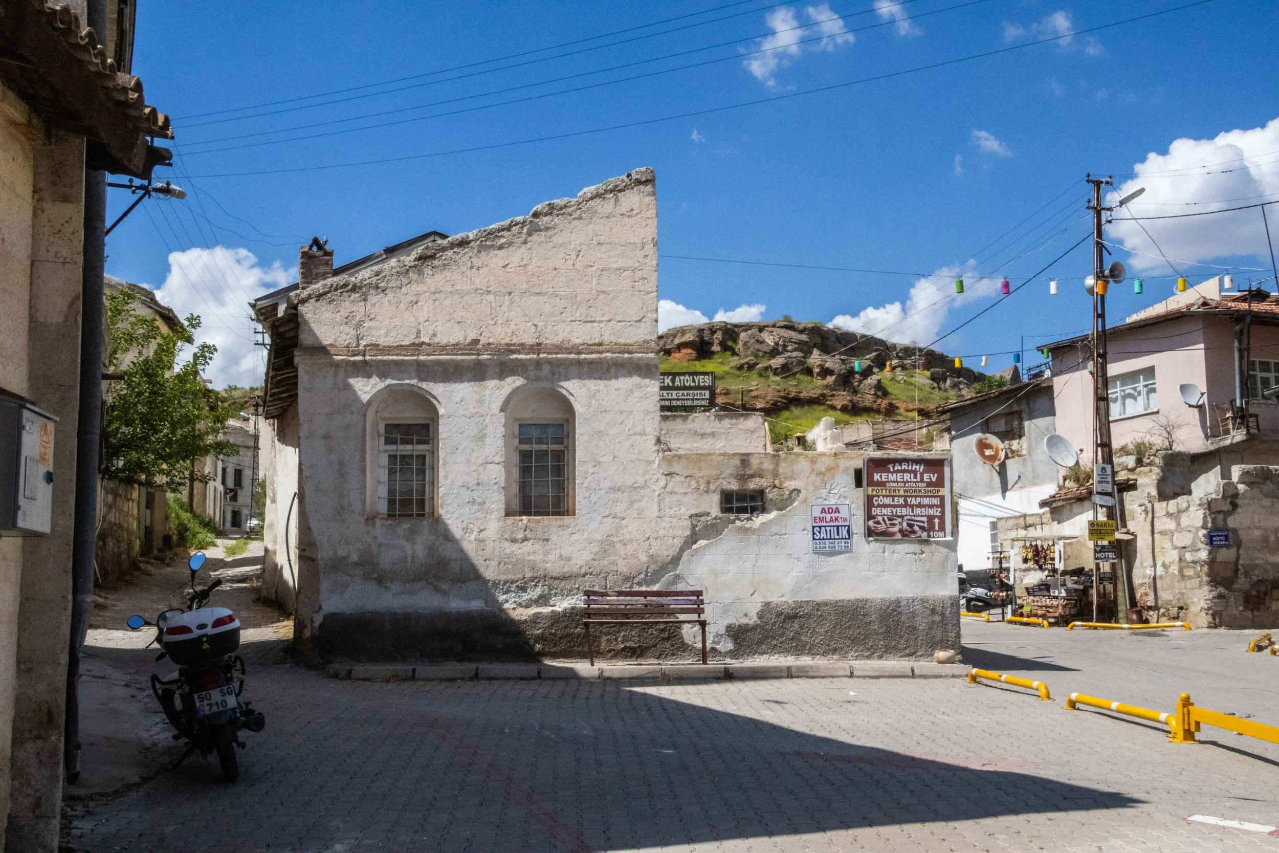
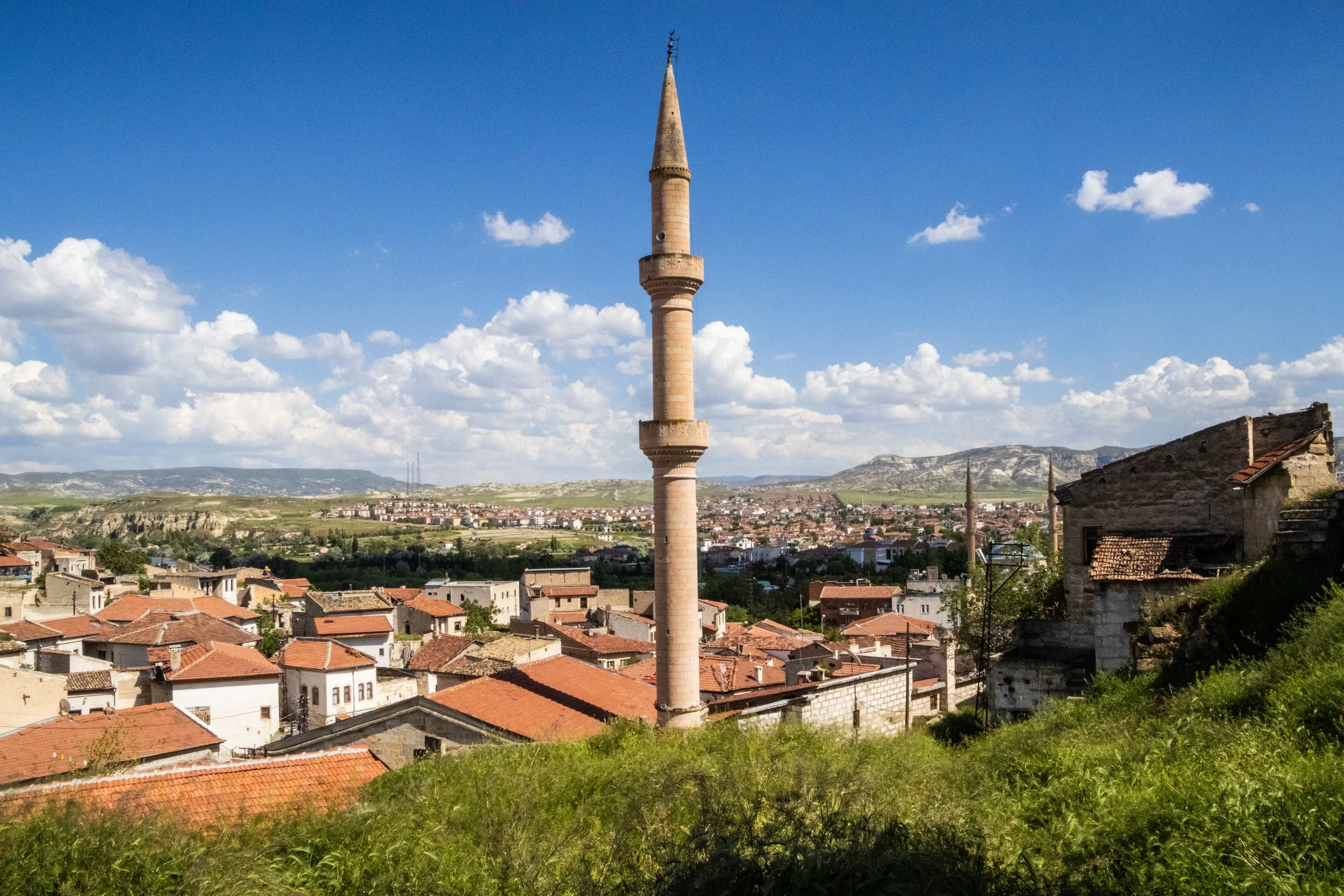
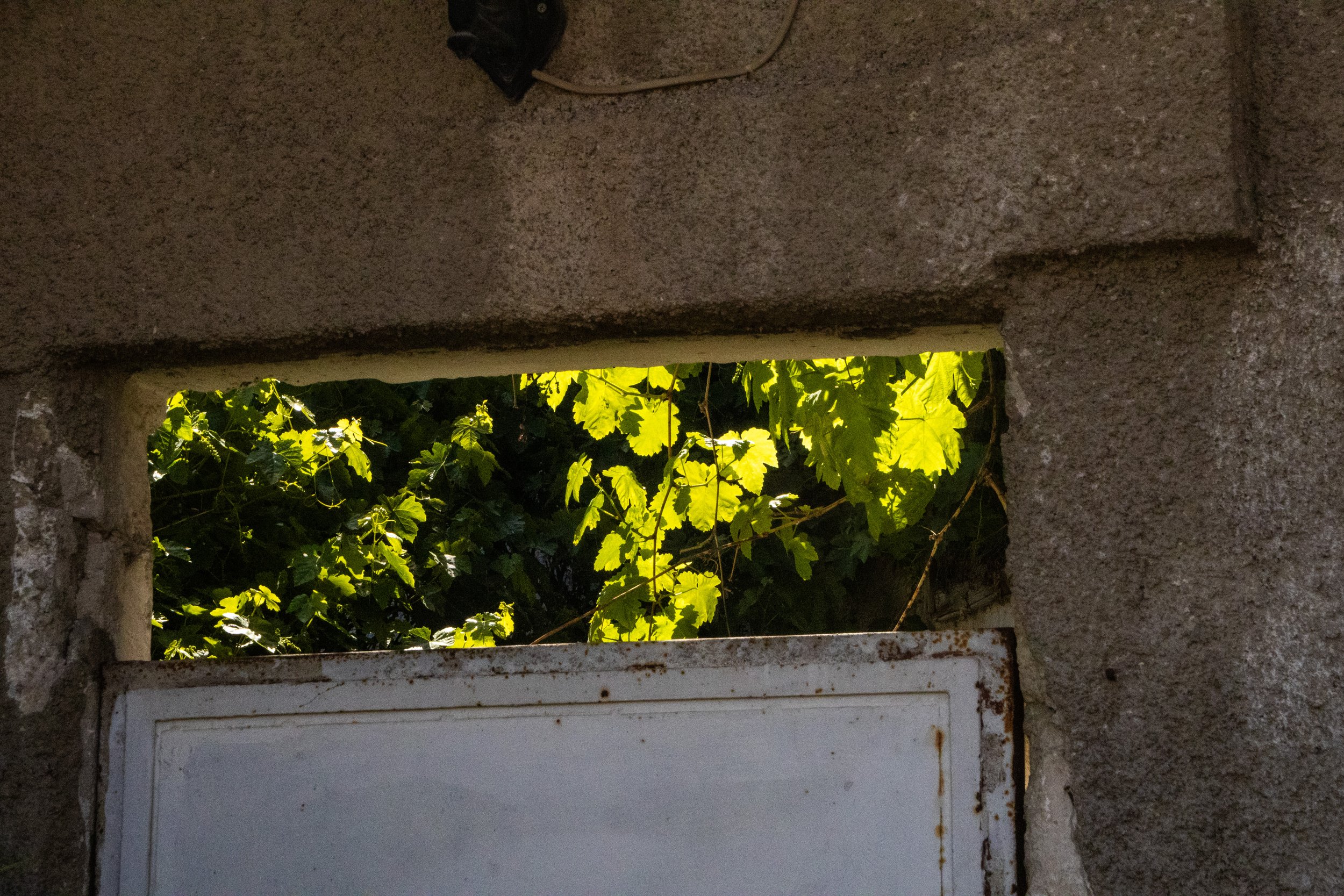
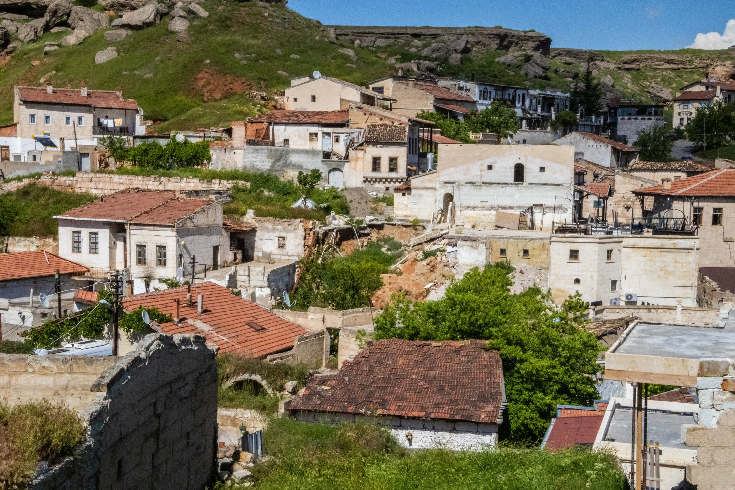
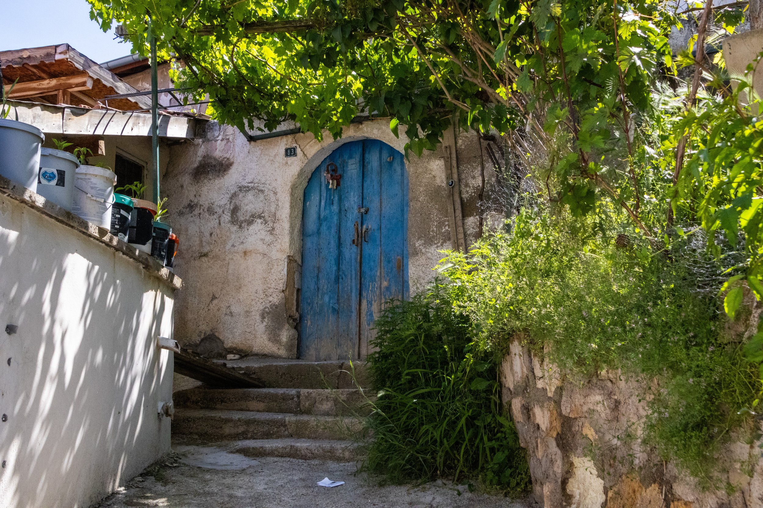
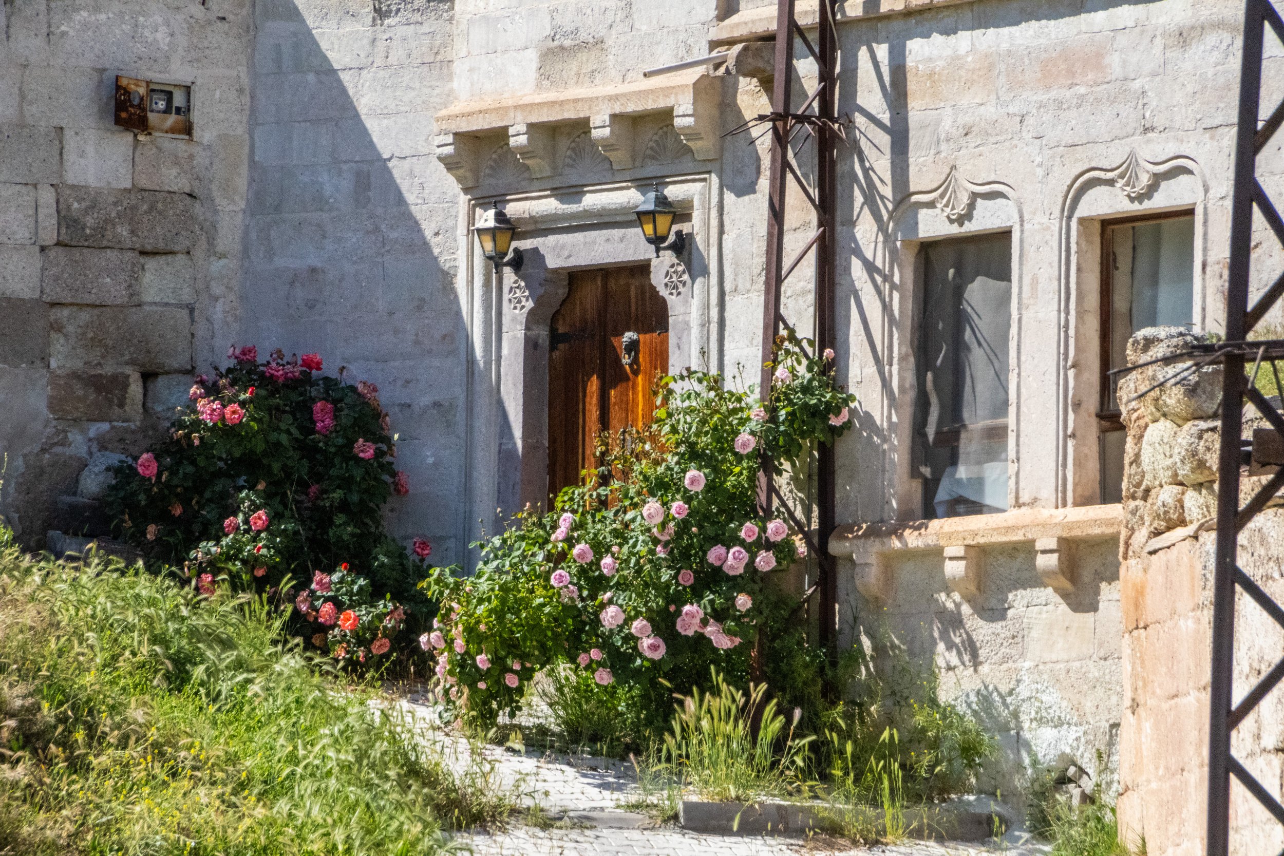
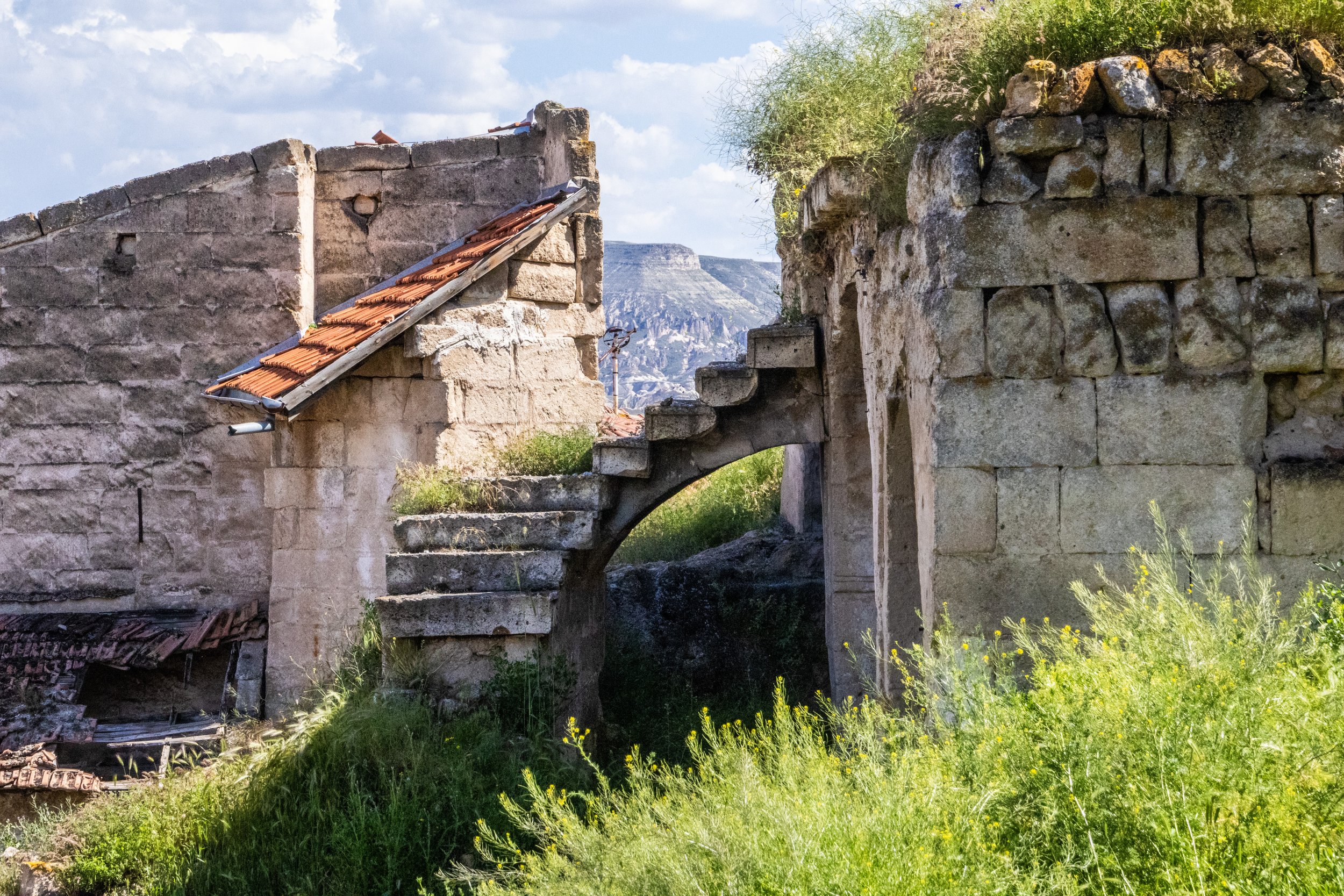
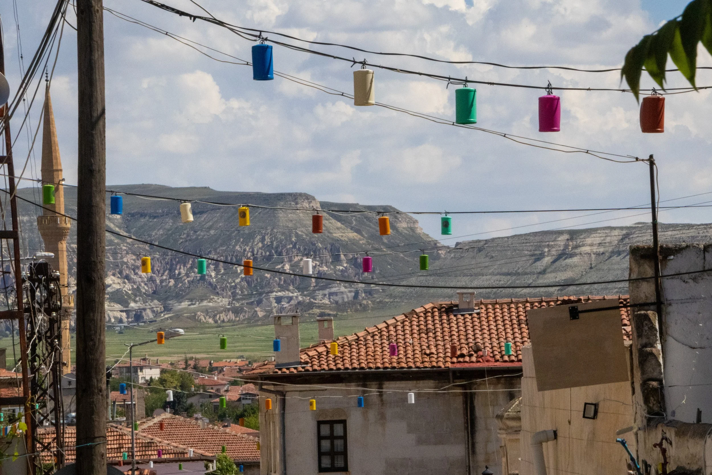
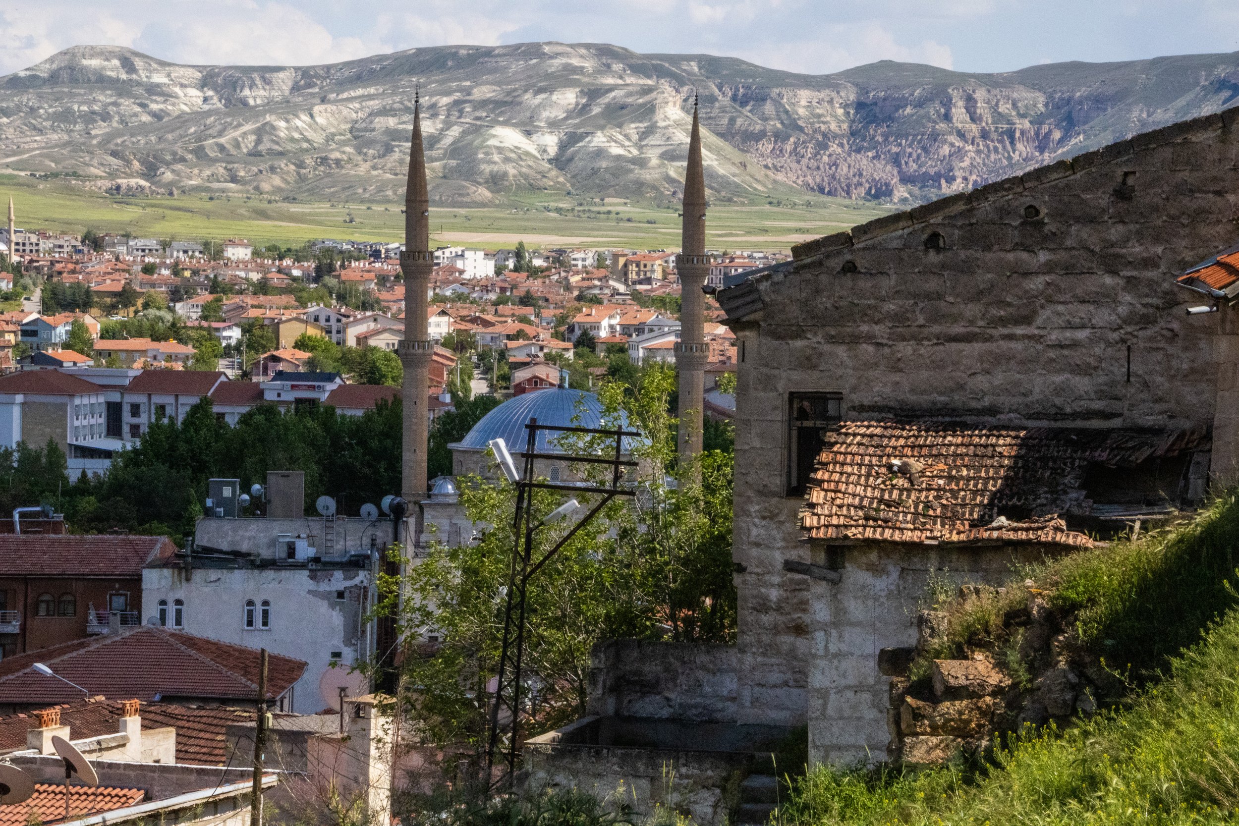
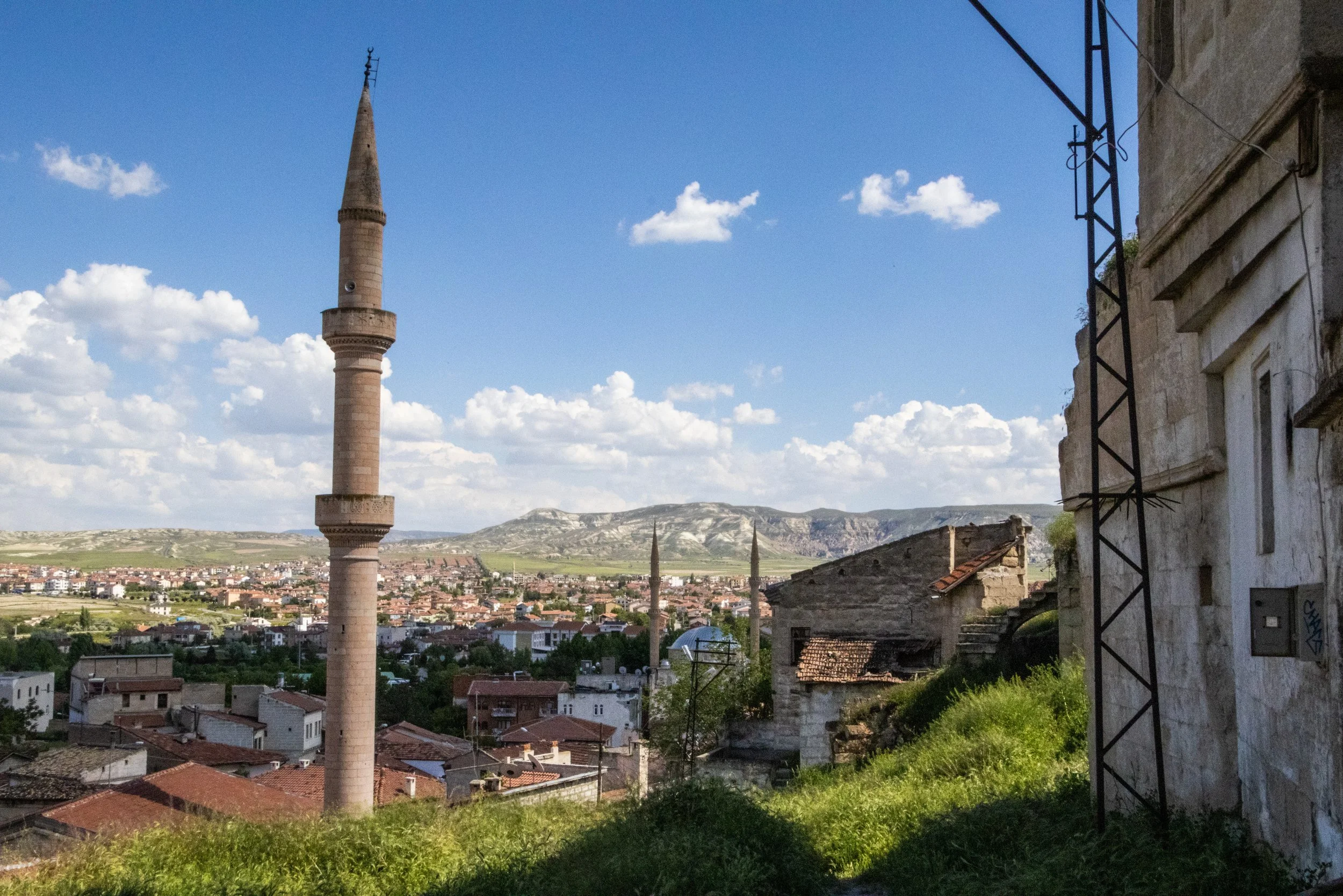
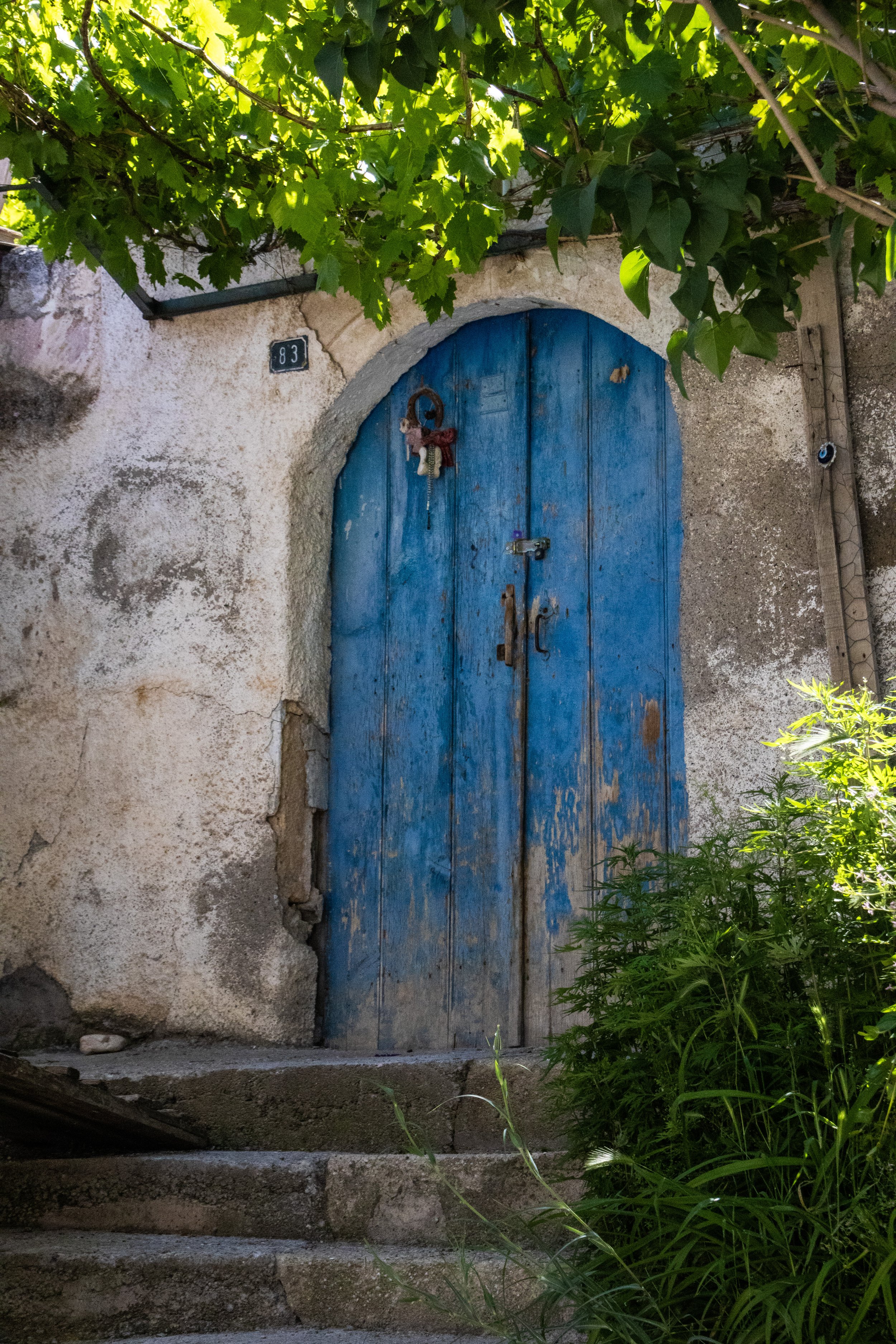
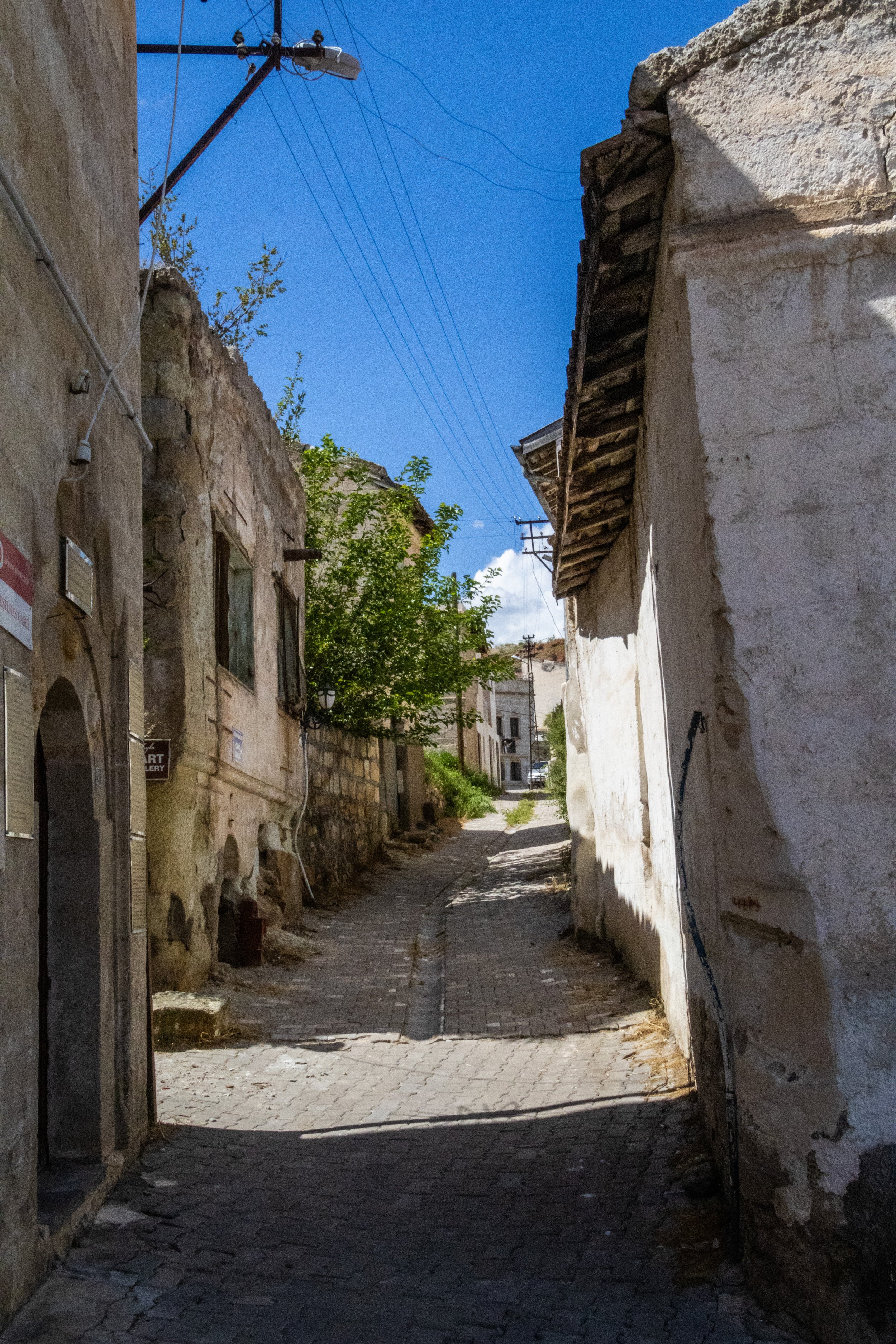
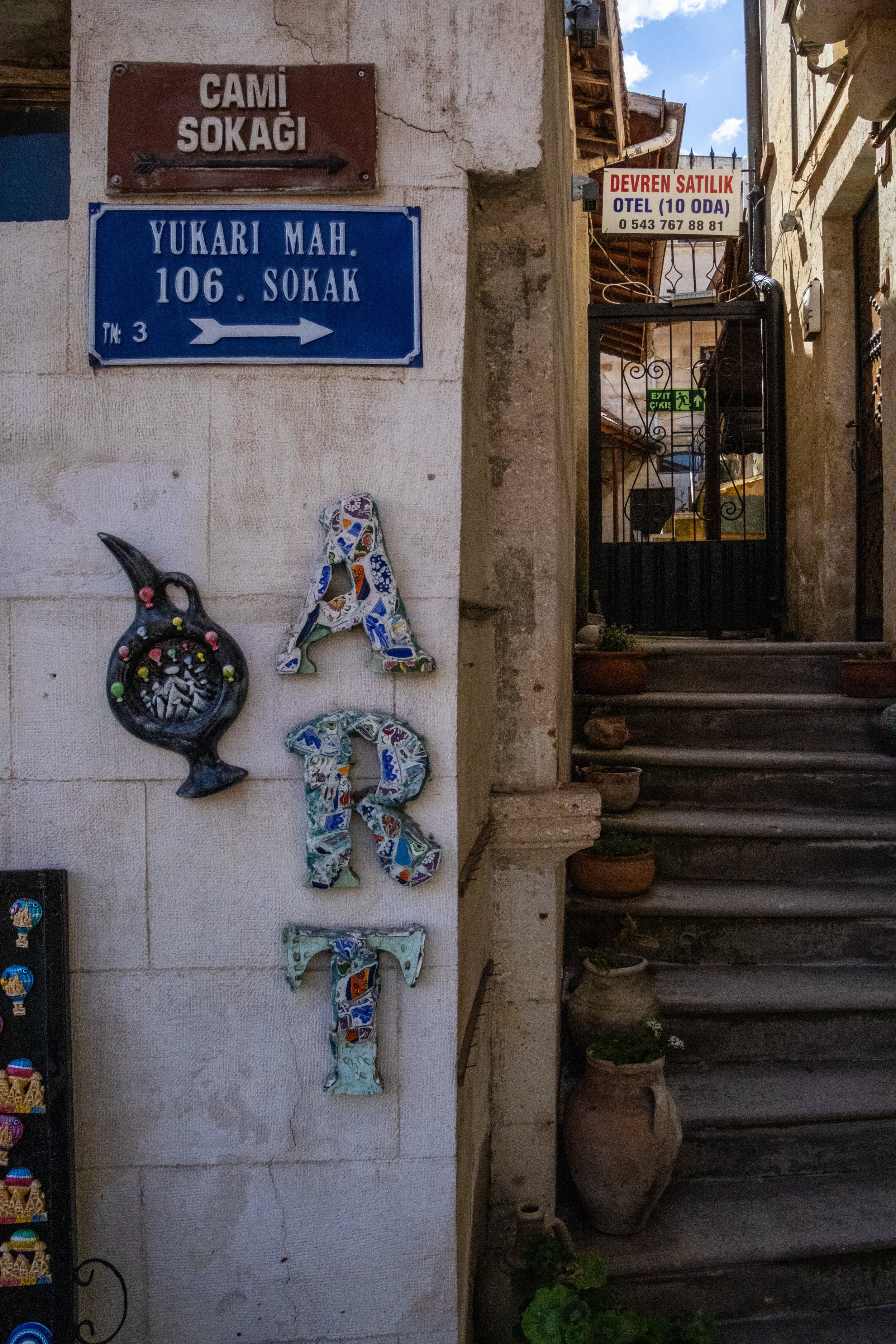
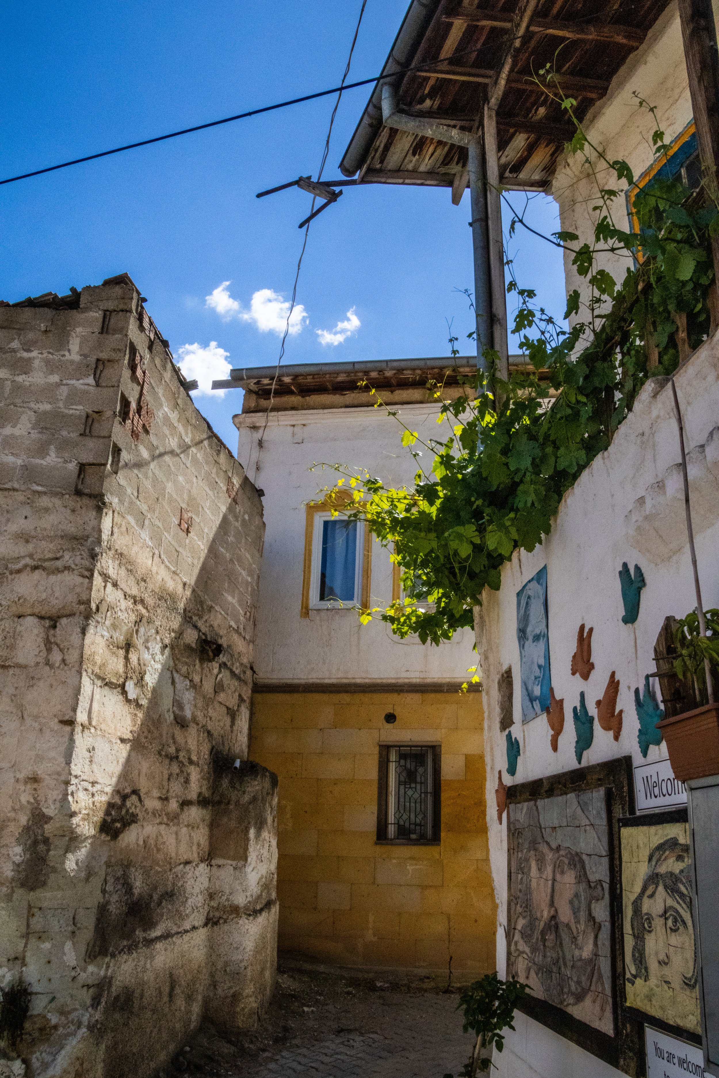
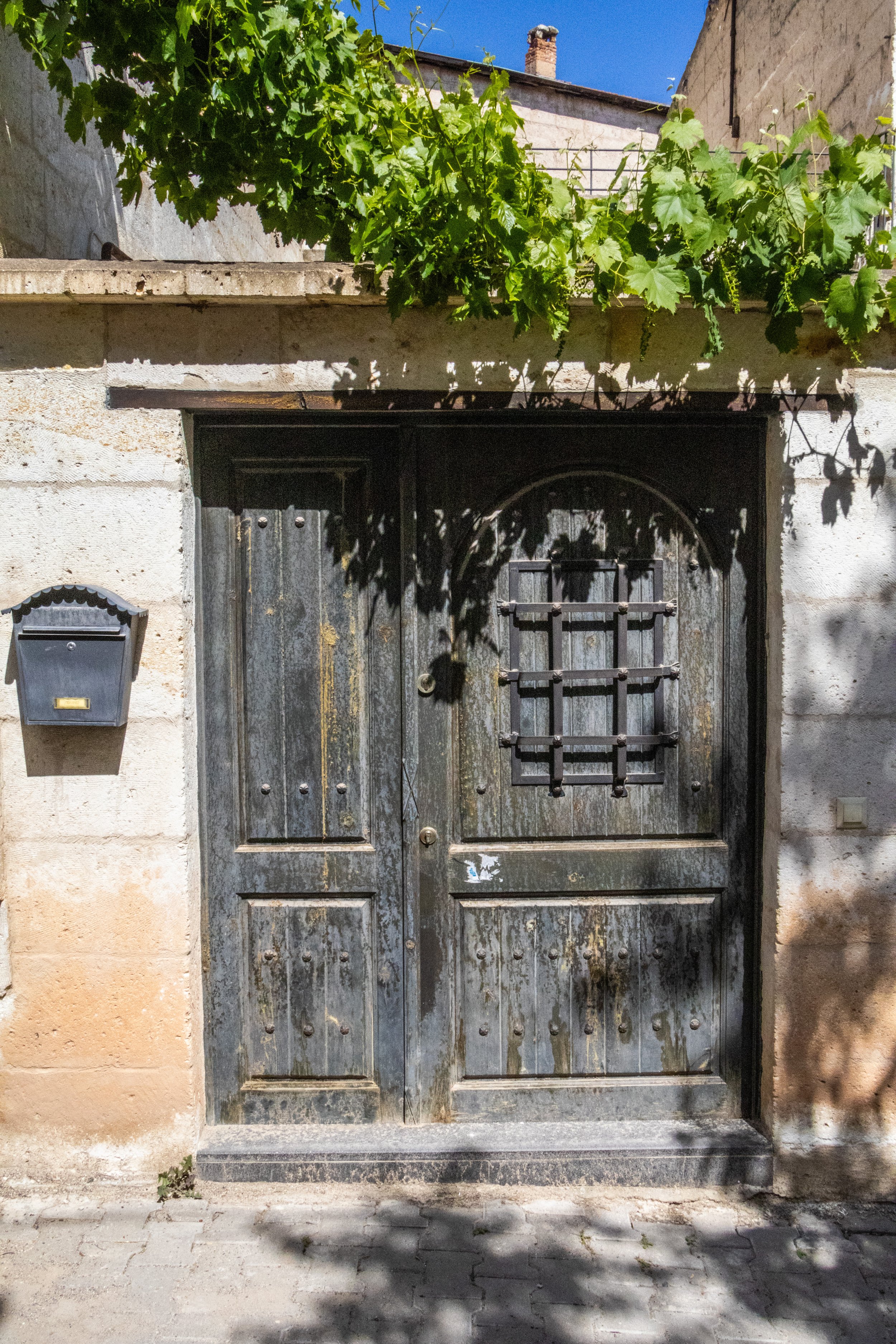
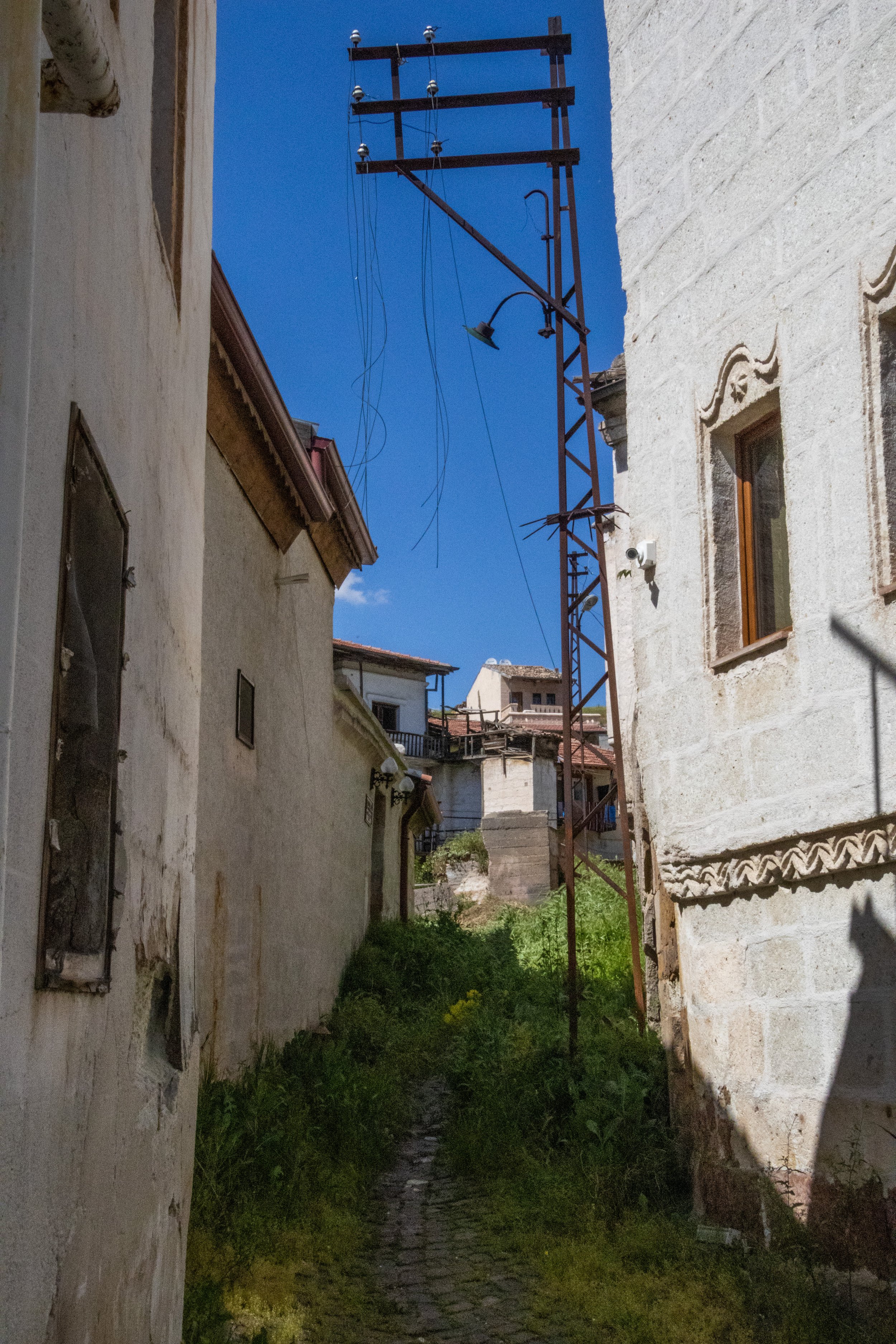
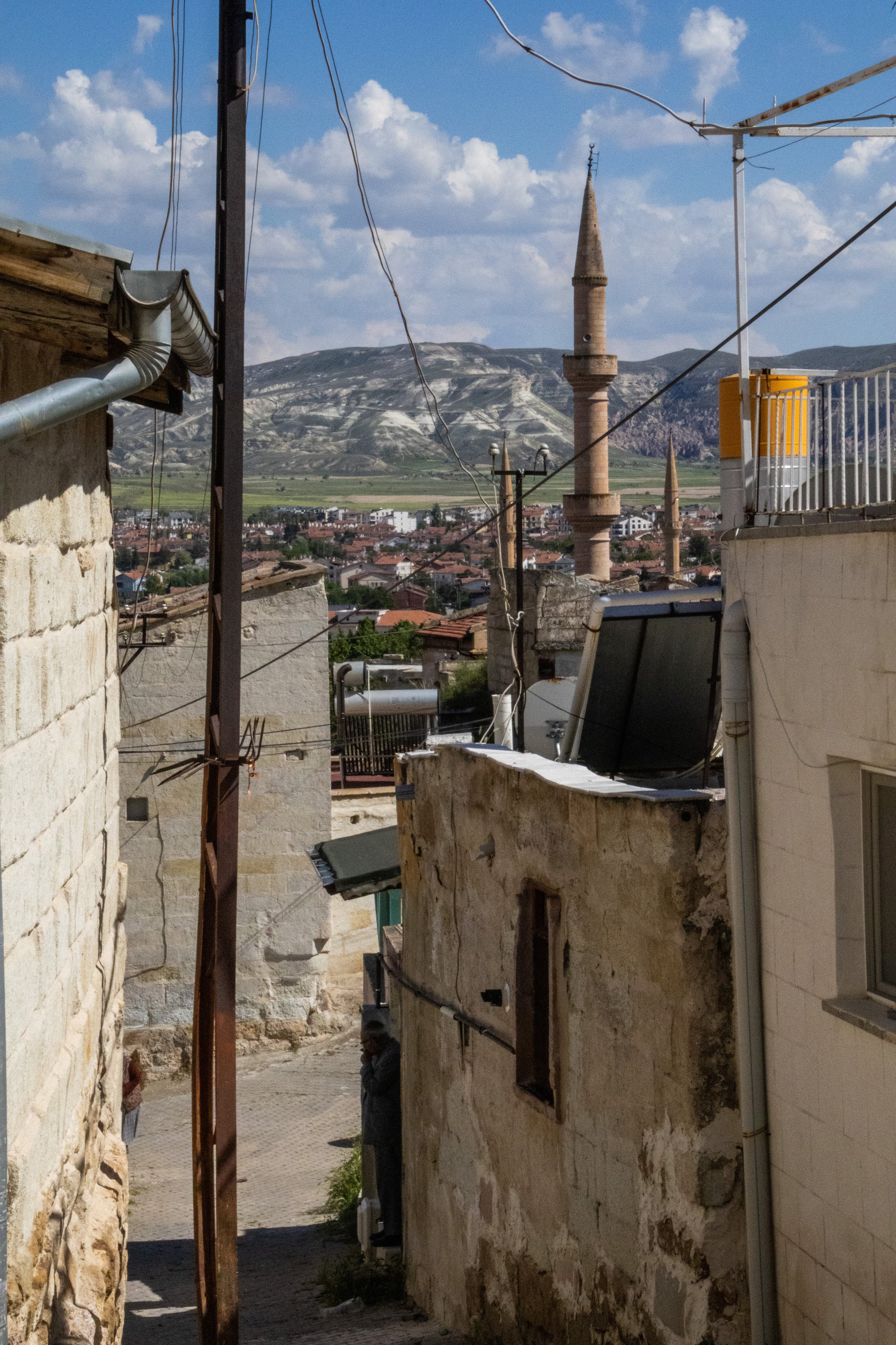
At ground level, there had been rich street life, which was mostly a local mix that included, at one point, a group of maybe 30 old men sitting outside playing a game called Okey (pictures below). THIS was the local street life I’d hoped for. But the old town stretched up a gentle hill, and, farther up we climbed, the more the shops, restaurants, and homes gave way to genuine ruins. Still, there was never a moment where the walk ever stopped being interesting. From the top of the hill, because it was such a clear day, we could see a great distance across the arid Cappadocian plains. In the foreground, the minarets of the local mosque stood proudly, a relatively recent addition to these ancient lands. I’ve arranged the gallery below to end with this area of abandoned, overgrown structures.
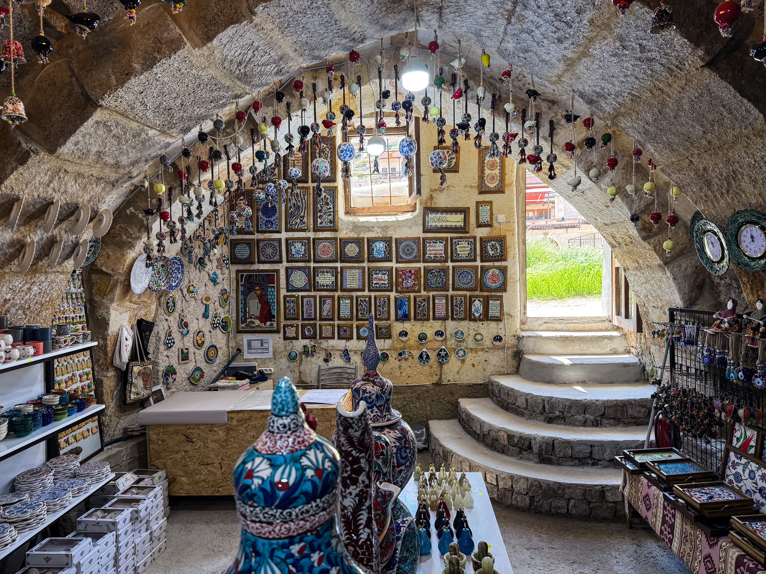
Göreme
And now we arrive at the definitive heart of tourist activity: Göreme.
The original name of this town is actually not Göreme; this name was adopted in 1975 for tourism purposes. It took the name of the nearby religious site, known as the Göreme Open-Air Museum. We’ll explore that next, but until 1975, the town was actually called Avcilar. However, like the other towns we’ve visited up to this point, the history of Göreme is counted not in centuries, but in millennia. So it’s had many names. Here it is on the map…
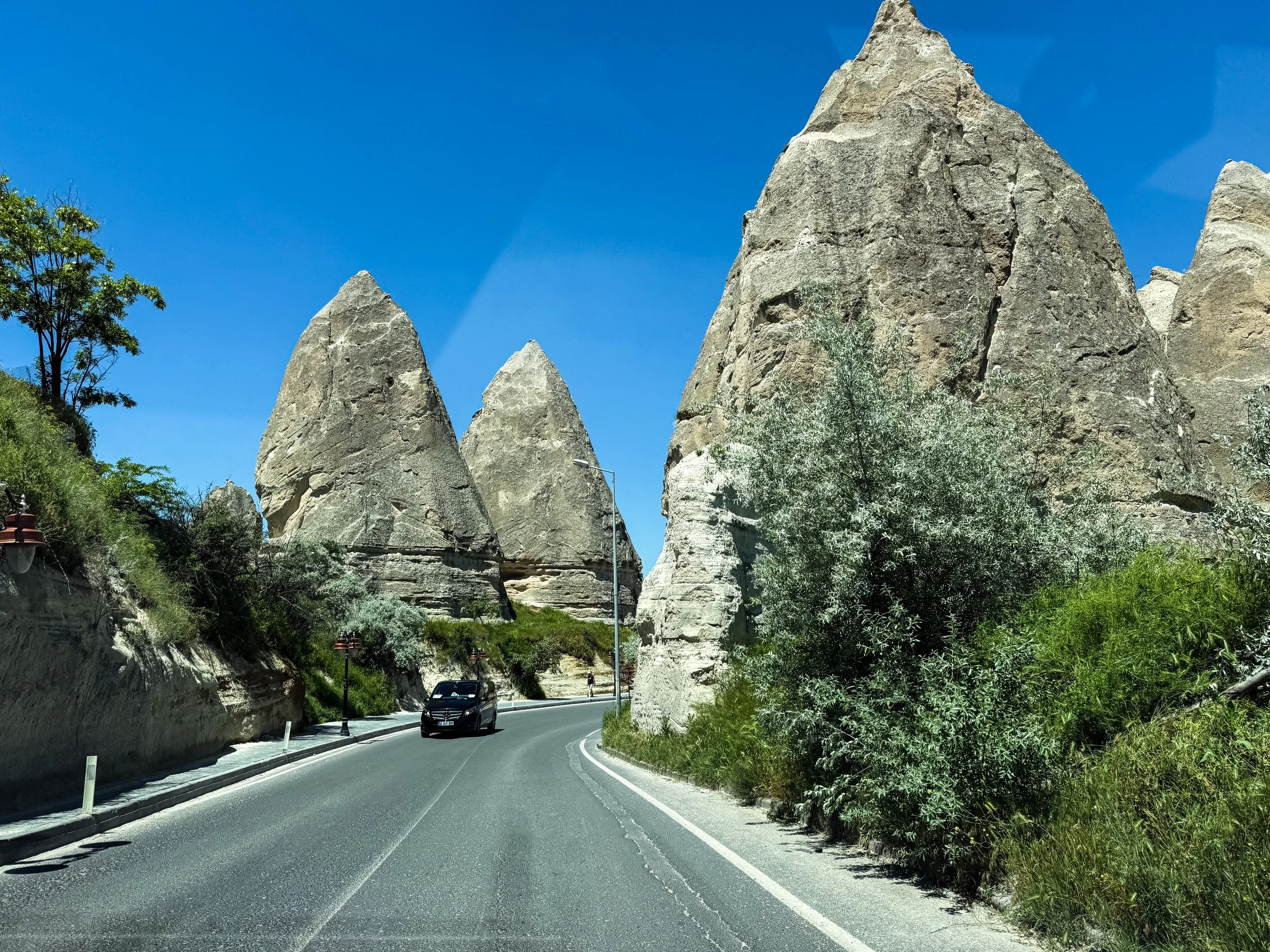
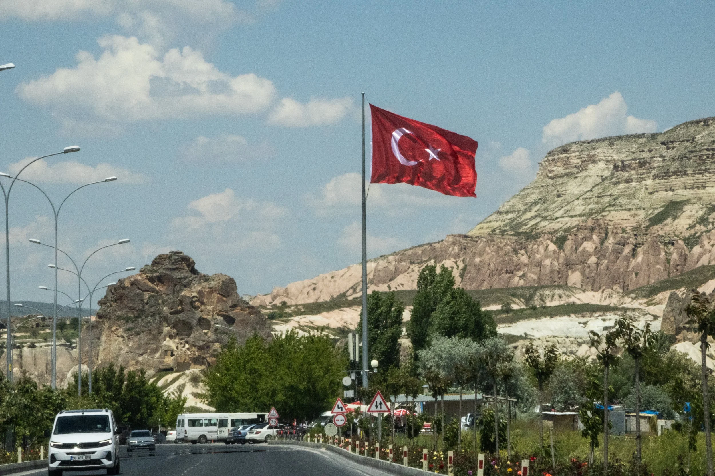
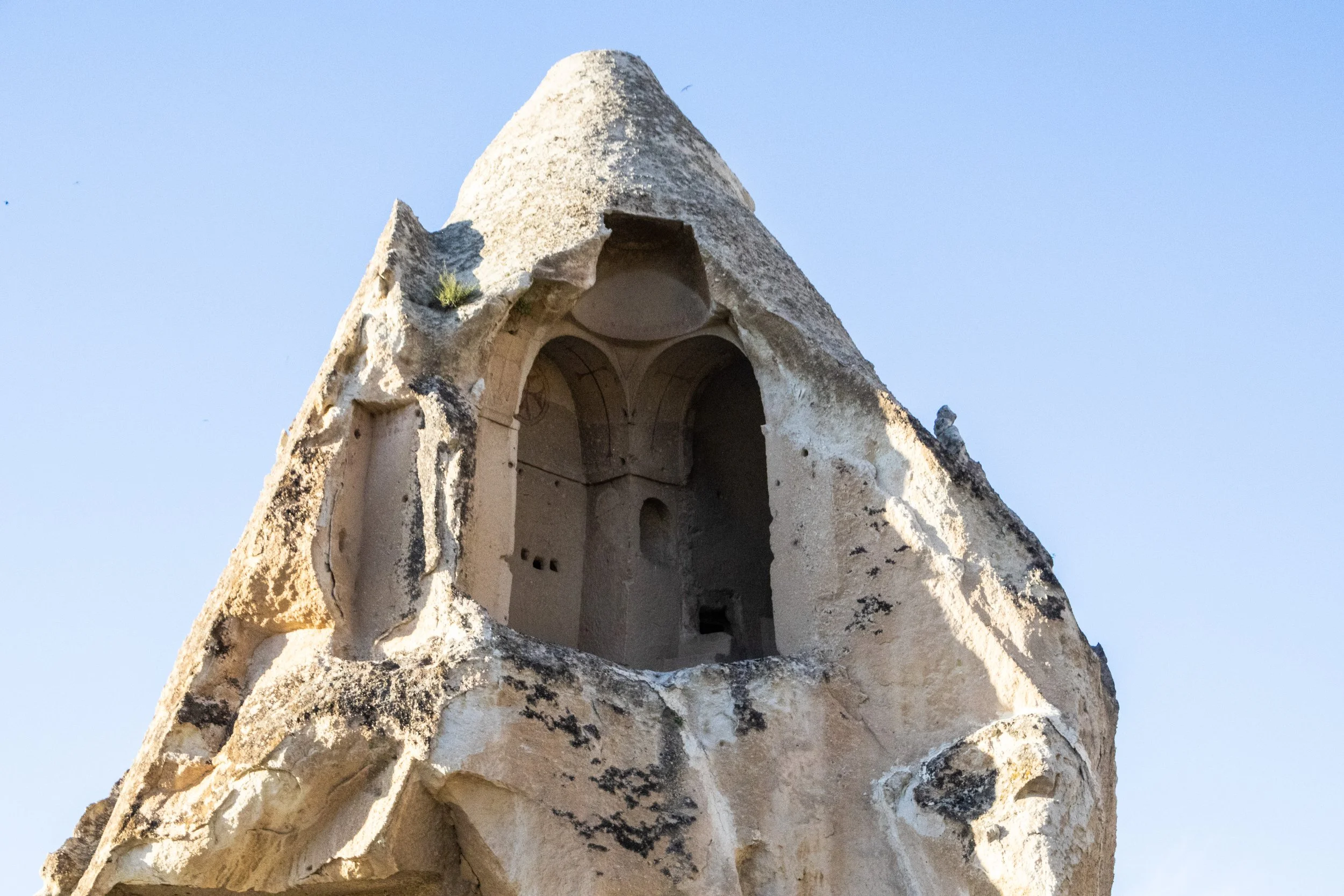
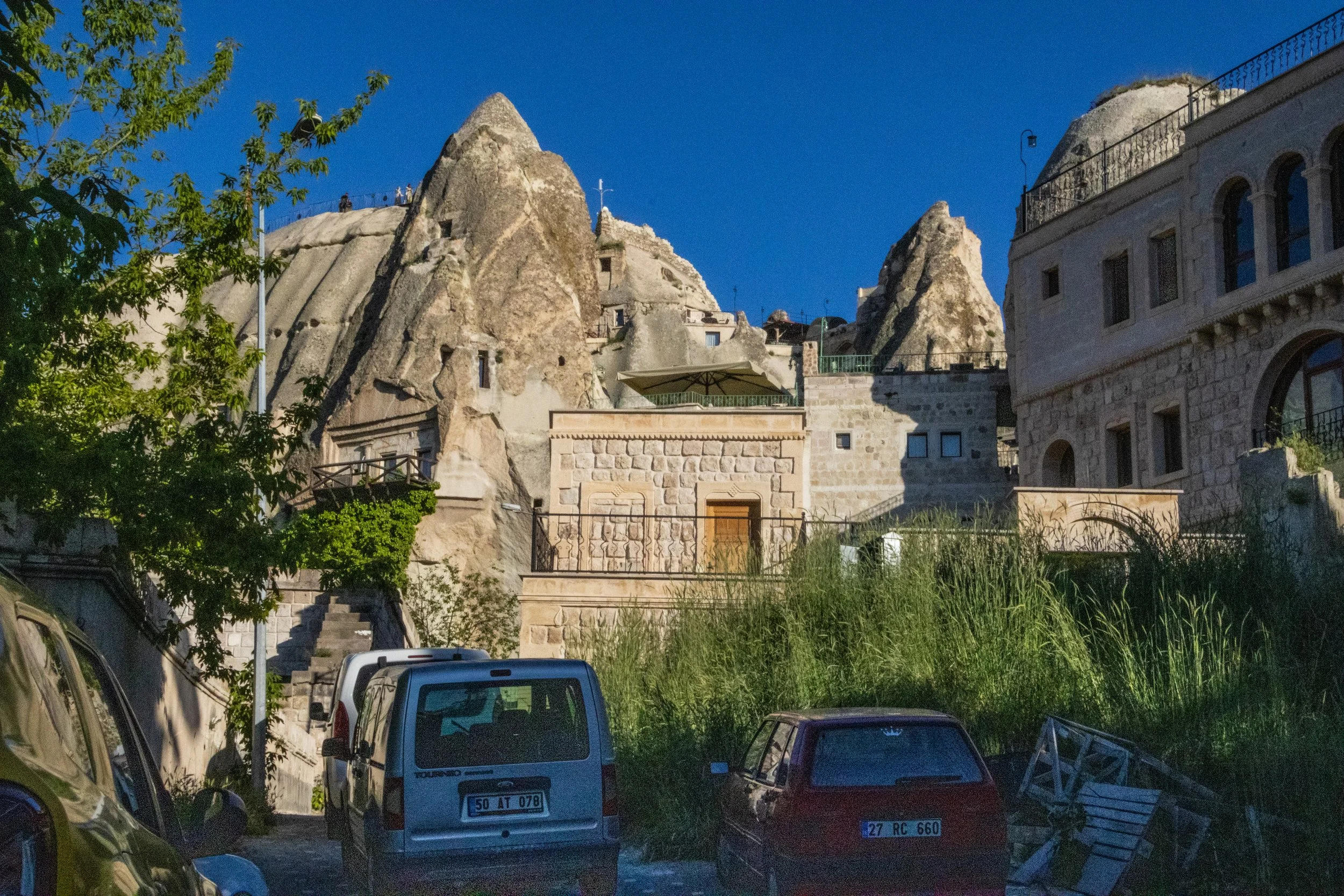
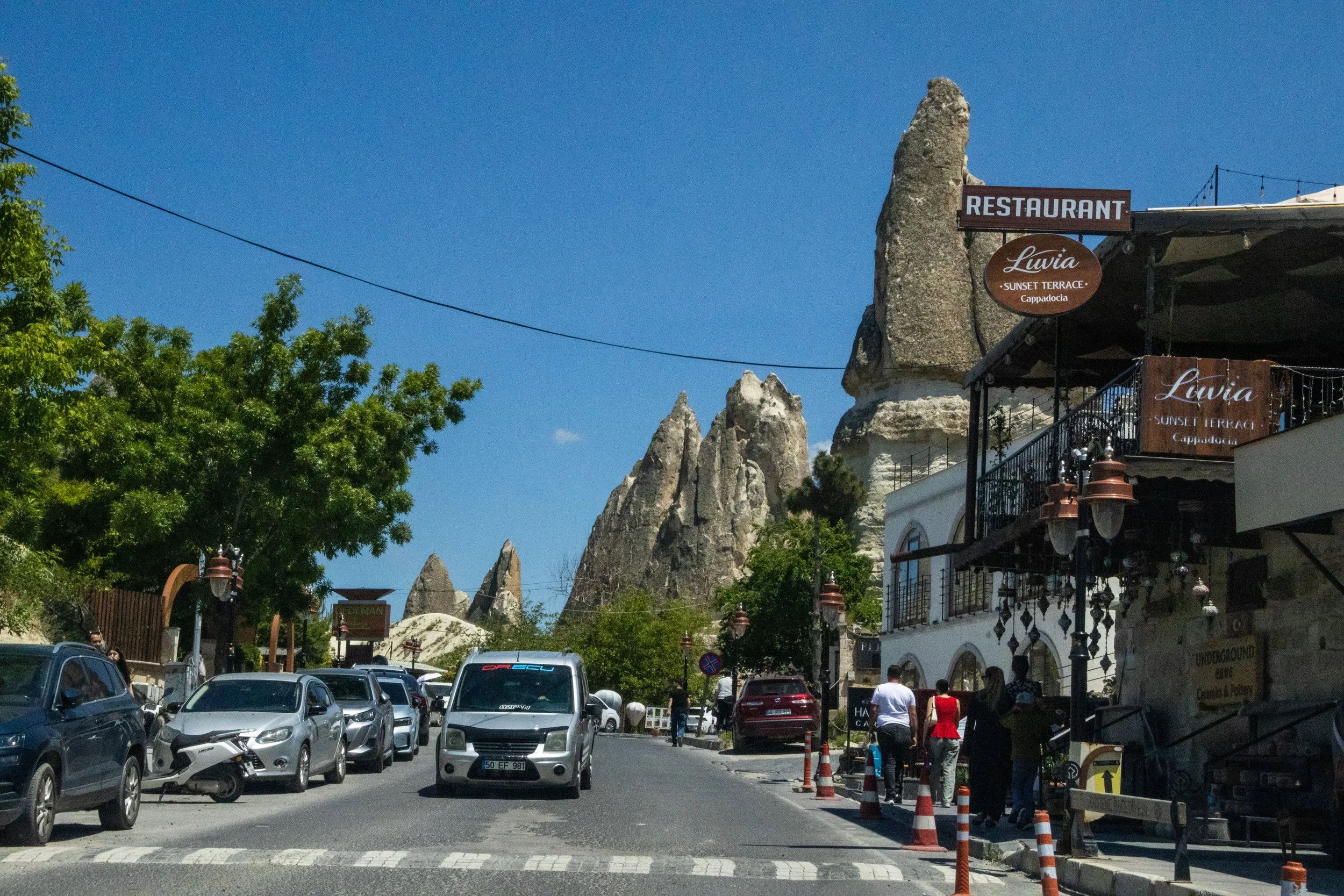
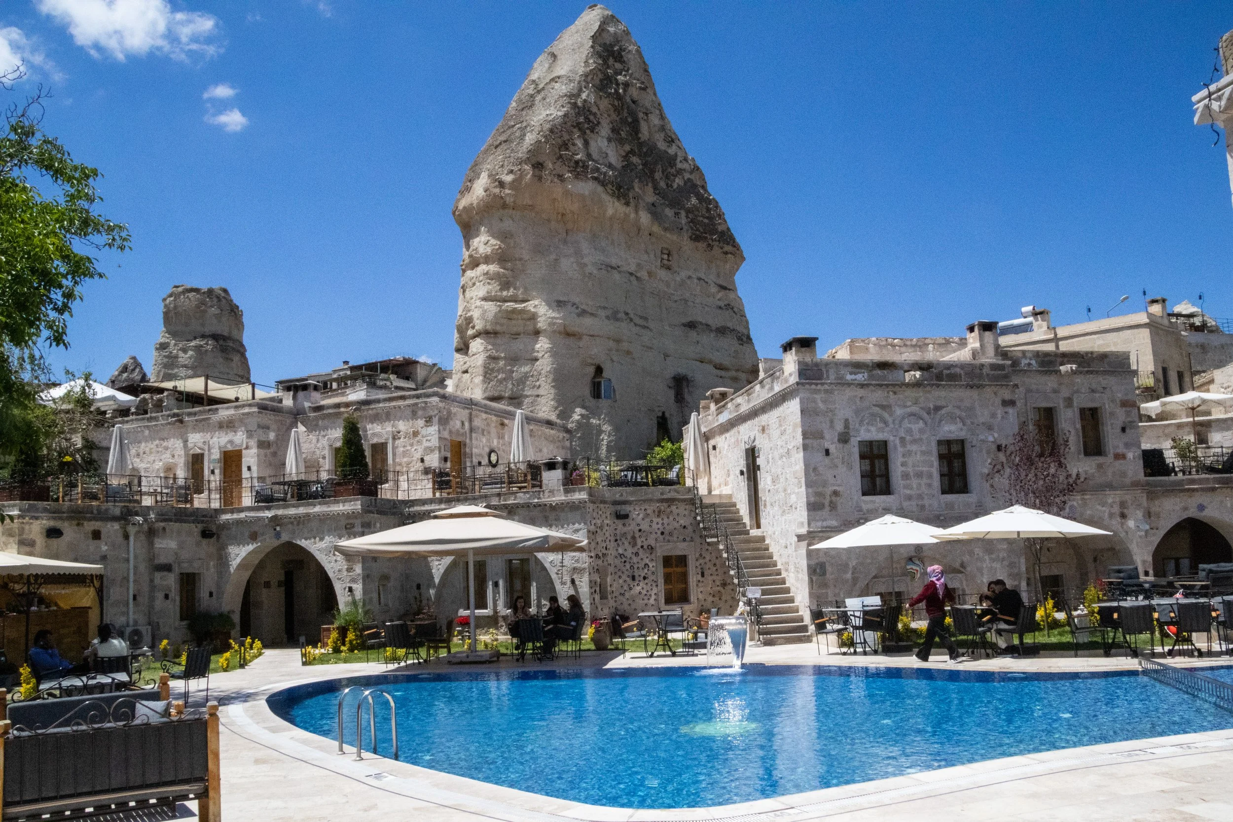
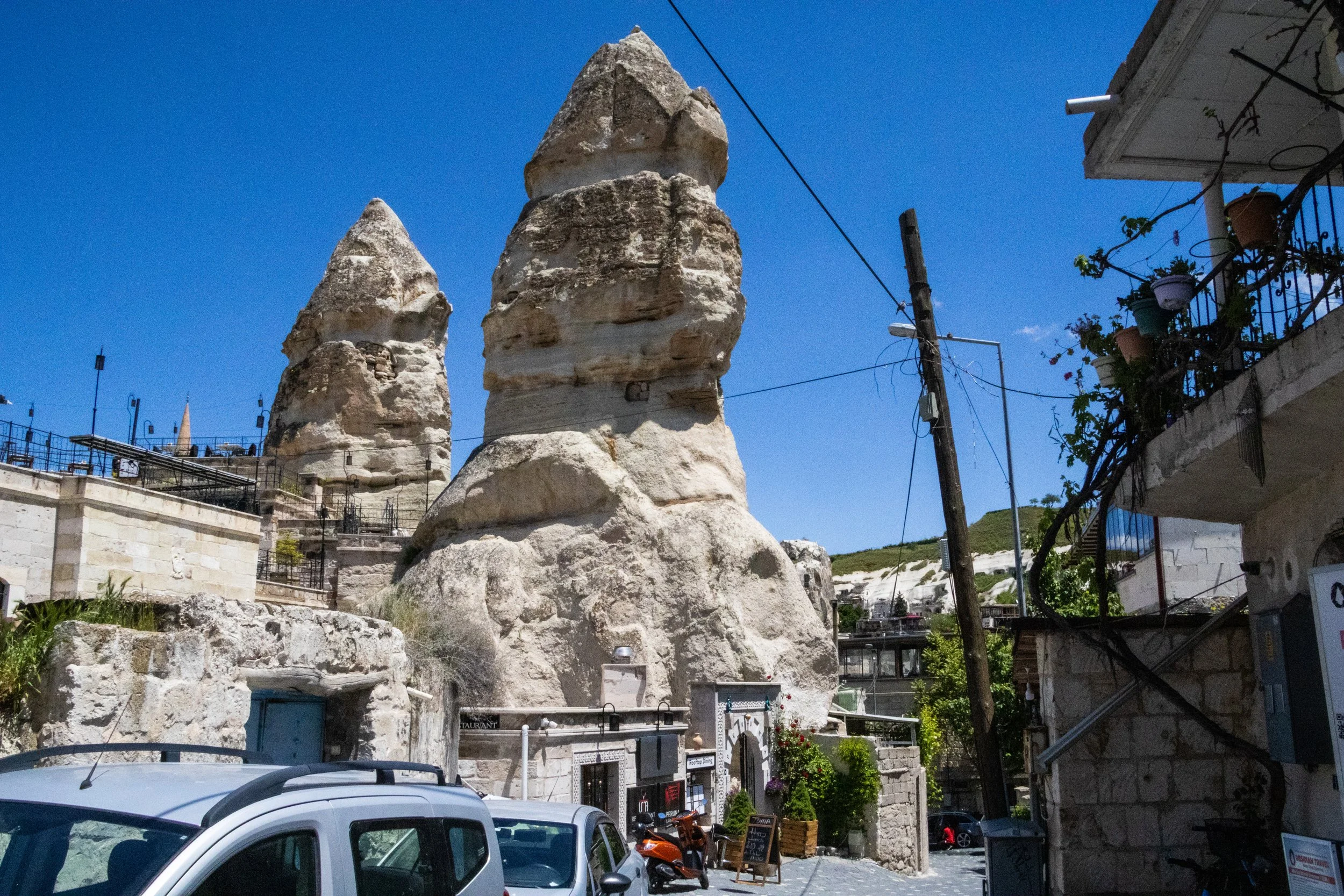
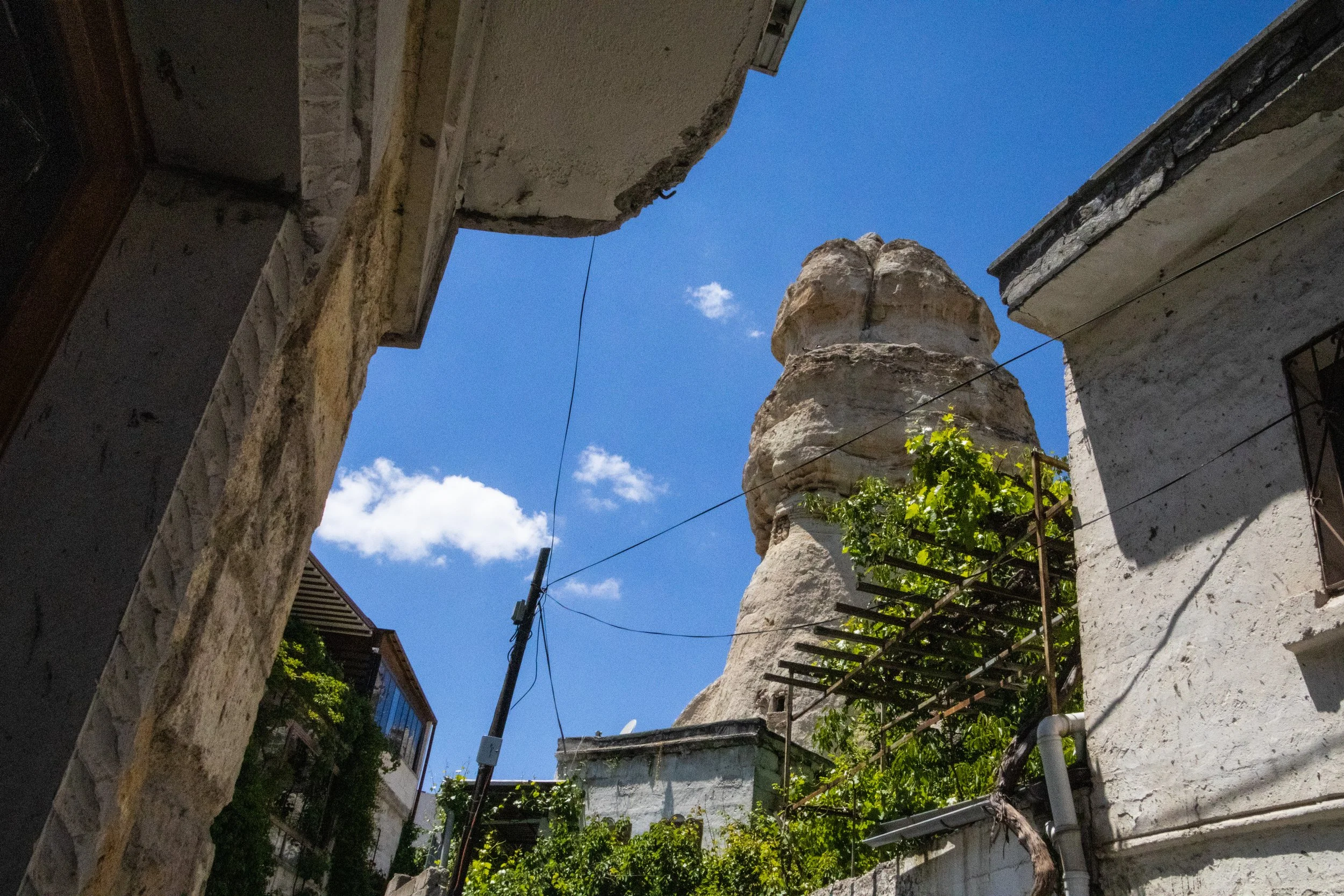
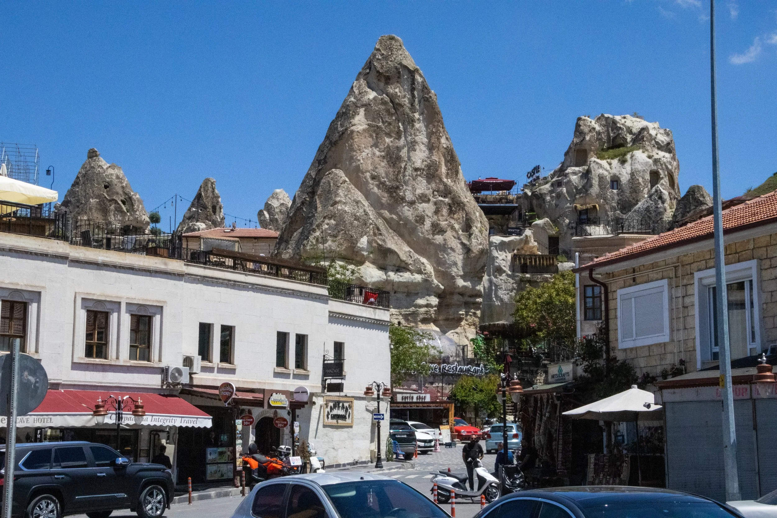
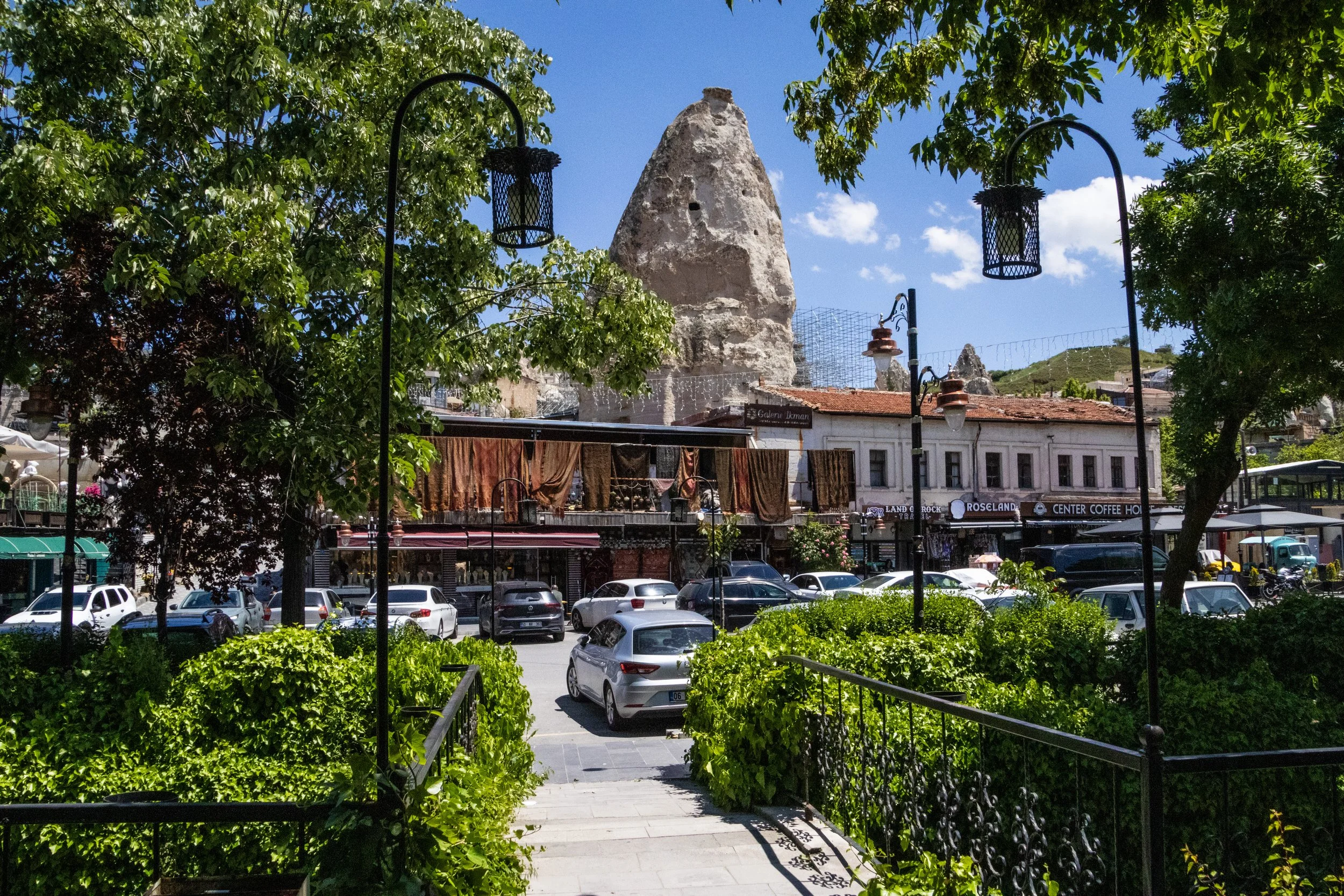
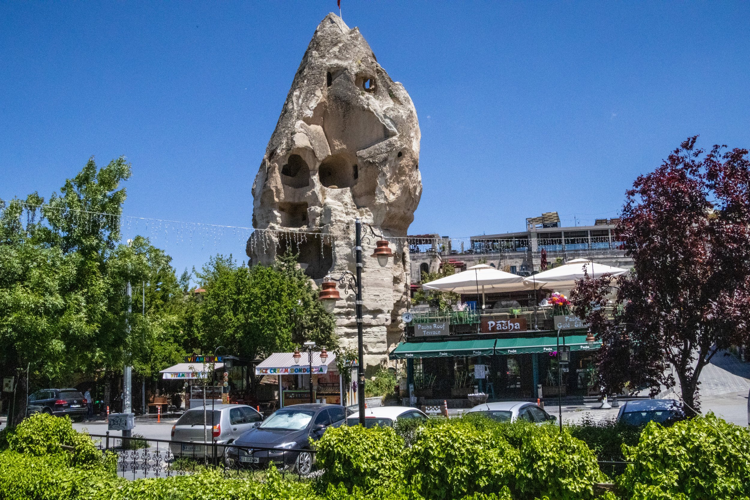
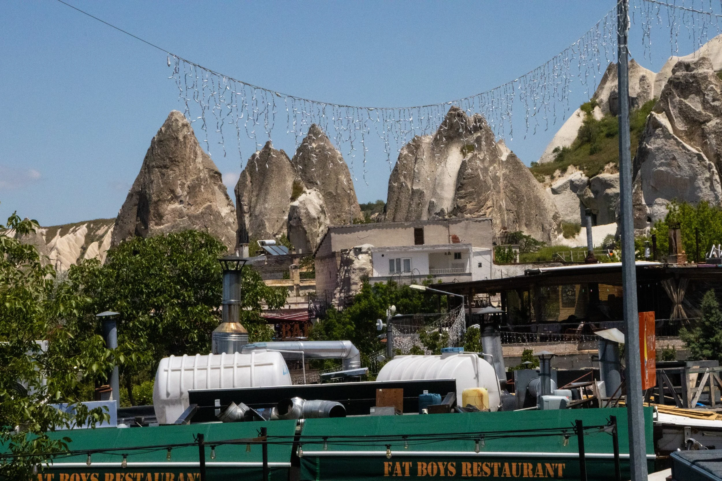
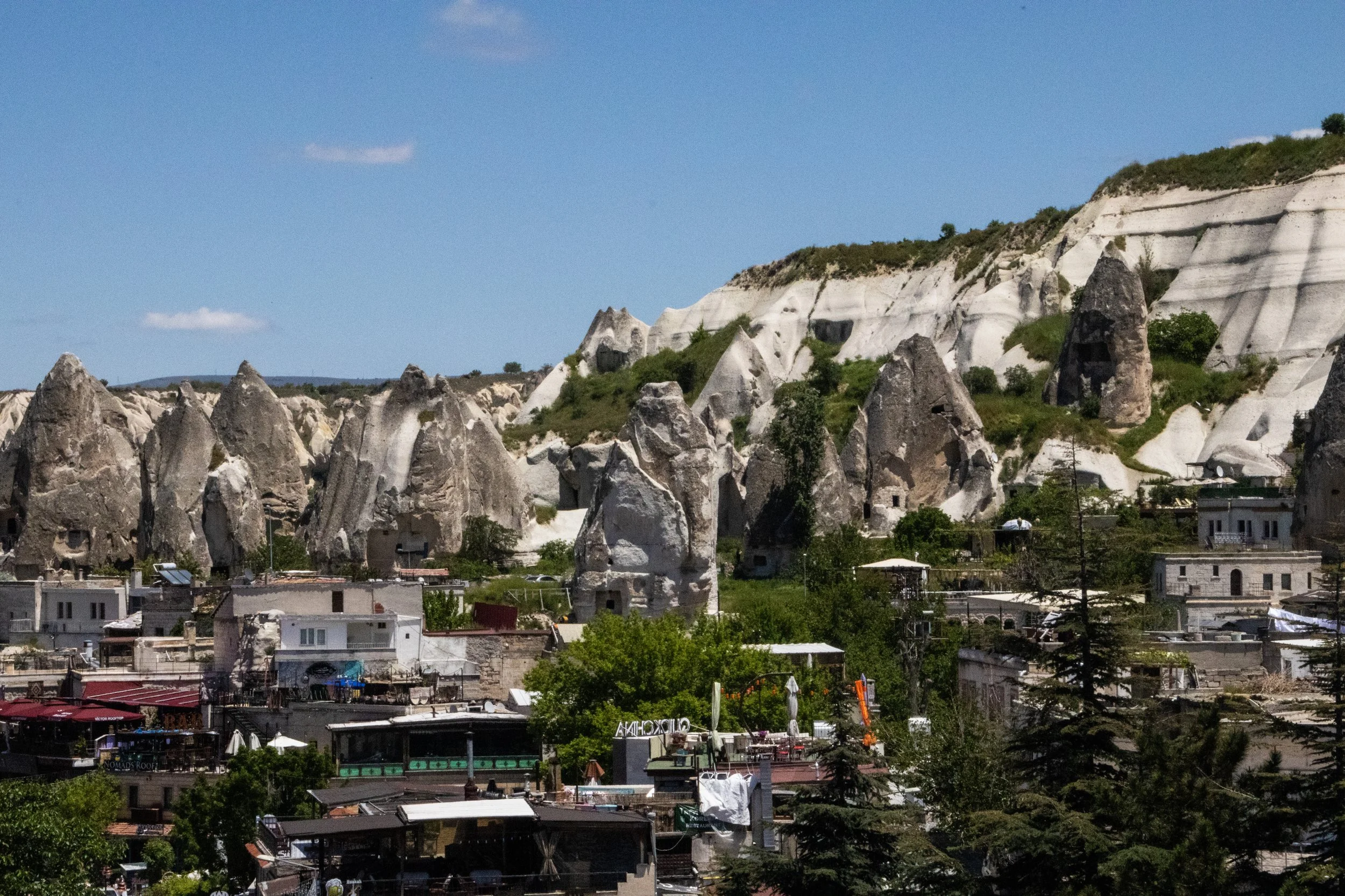
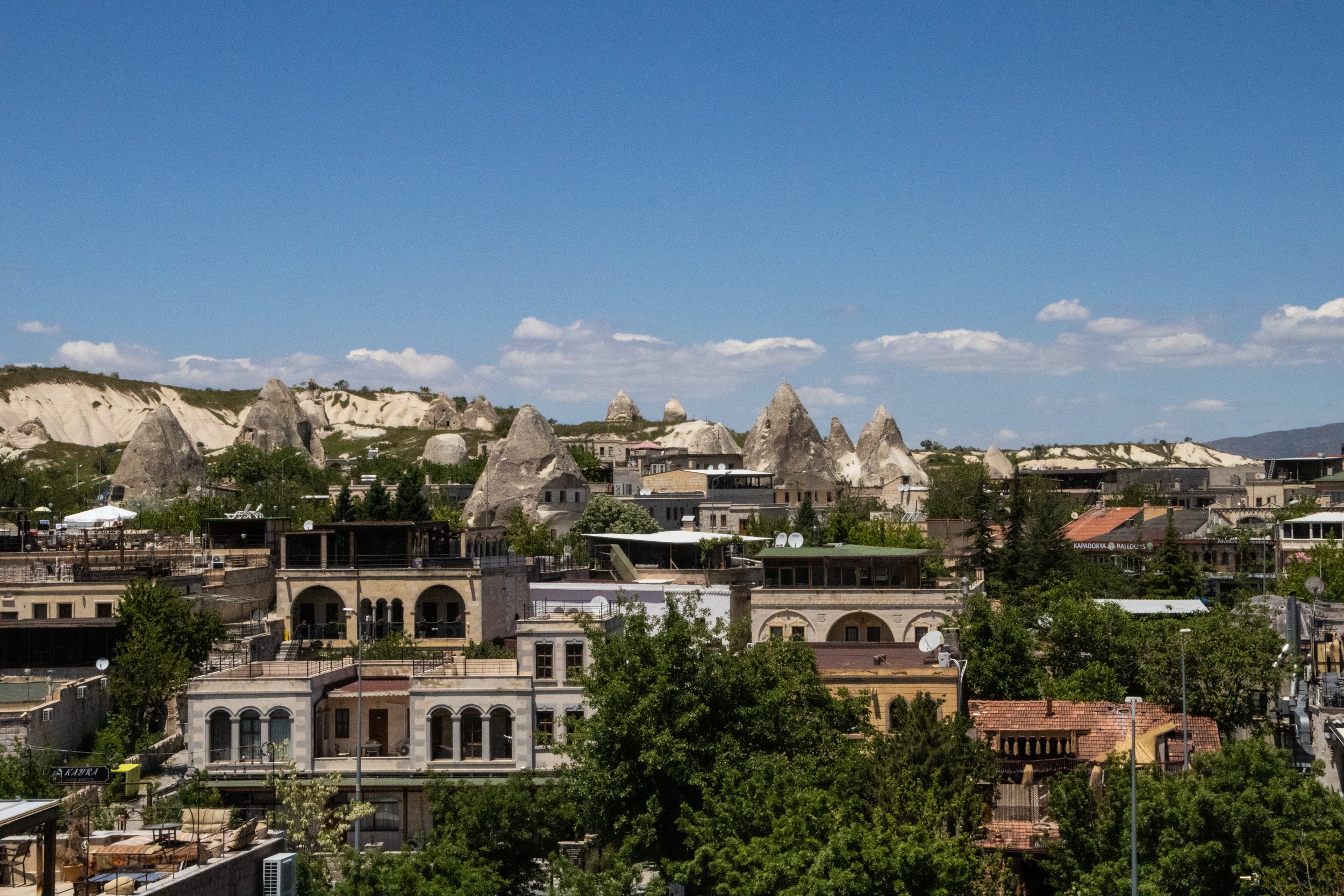
One of the main reasons that Göreme is the beating heart of Cappadocia’s tourist beat is that it’s just clearly the coolest looking! We’ve seen some interesting rock formations up to this point, but THIS is the first time that we’ll see start seeing large amounts of Cappadocia’s iconic rock formations, peri bacalari, or, in English, “fairy chimneys”. The fairy chimneys basically look like tall cones. They are all over Göreme; the road into town actually weaves through them at tight angles. And once you’ve made it to the town itself, they dot the landscape like giants dropped giant now-petrified ice cream cones that landed top-down across the landscape. The settlement of Göreme does not give its fairy chimneys any horizontal space whatsoever. Indeed, they are wedged into the cityscape so tightly that buildings are often built into the side of them, and roads weave around their bases at extremely tight angles.
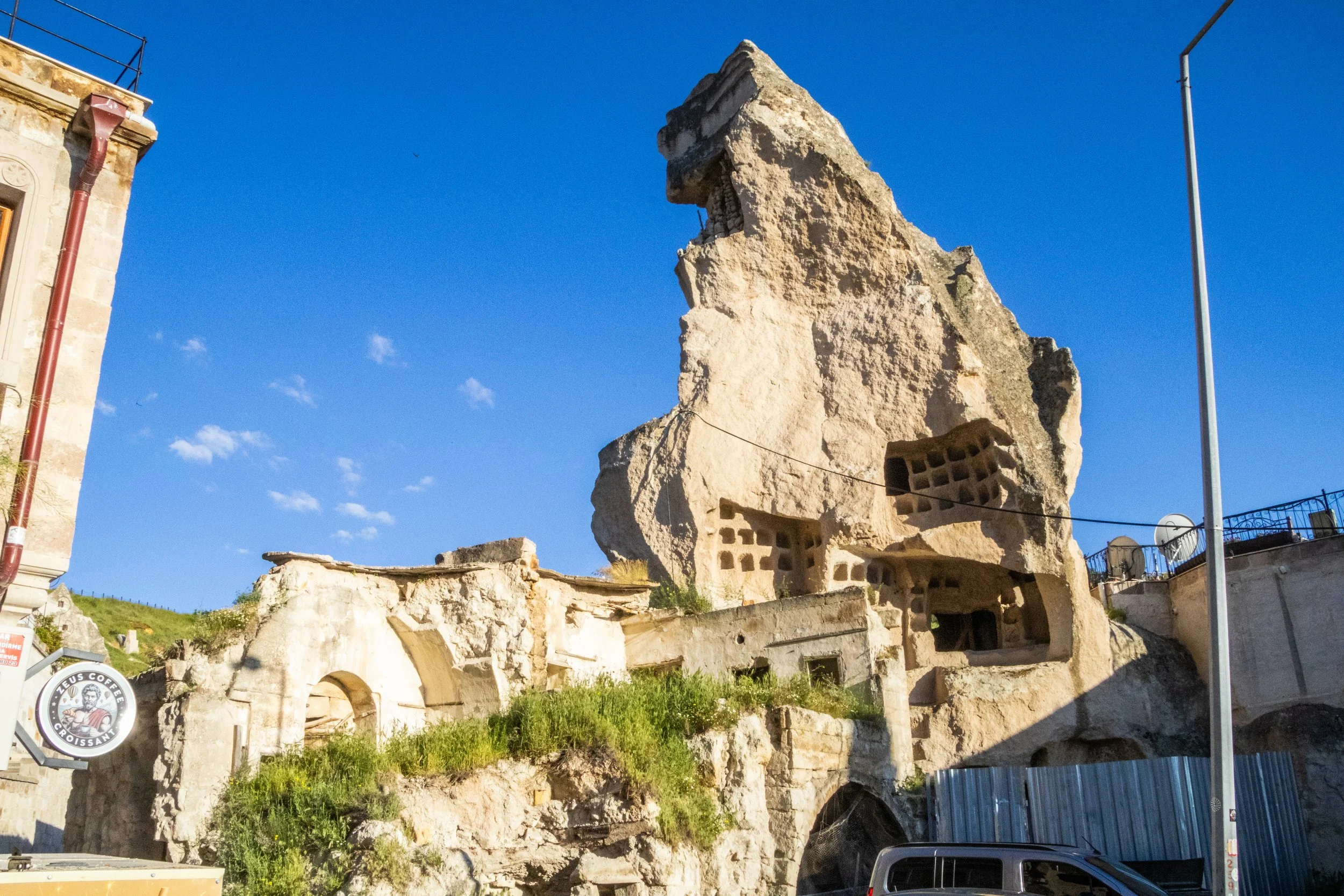
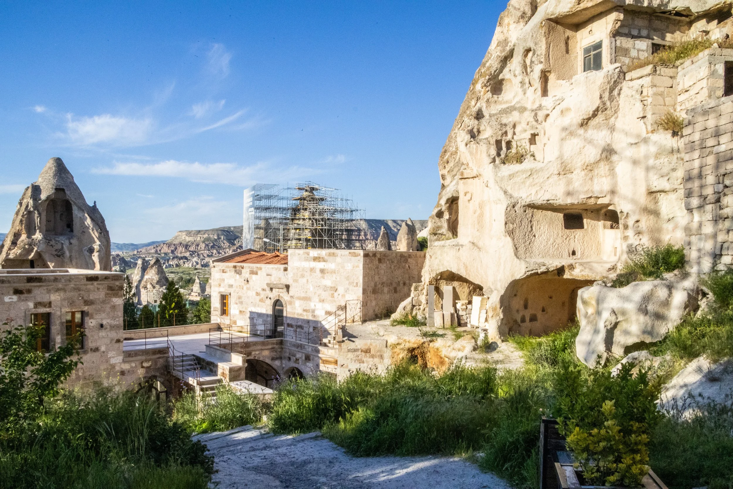
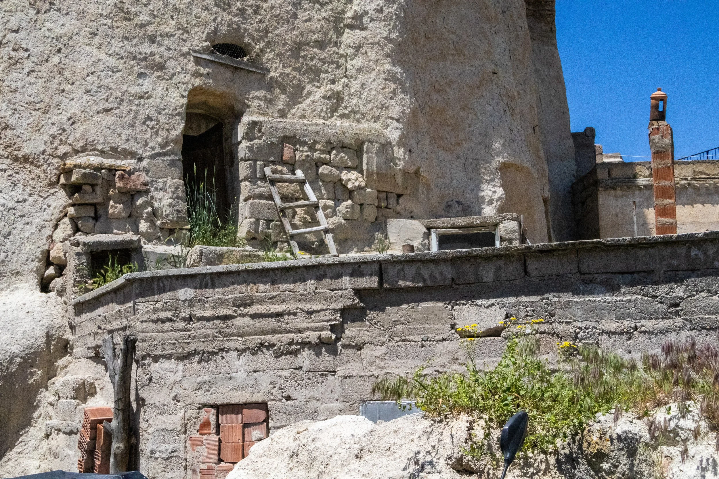
If the rock formations themselves weren’t interesting enough, when you look up at the rock faces of the fairy chimneys, the majority have some sort of ancient carving on them. In some cases, there are actually the remnants of Roman columns carved into them, but in other cases, all the remains are the clearly man-made outlines and depressions associated with ancient city structures. It reminded me of the some of the Native American ruins I’d seen in the American Southwest, where cities are carved into the sides of cliffs. Most of that was before this blog came along, but we saw some of it in Colorado last year.
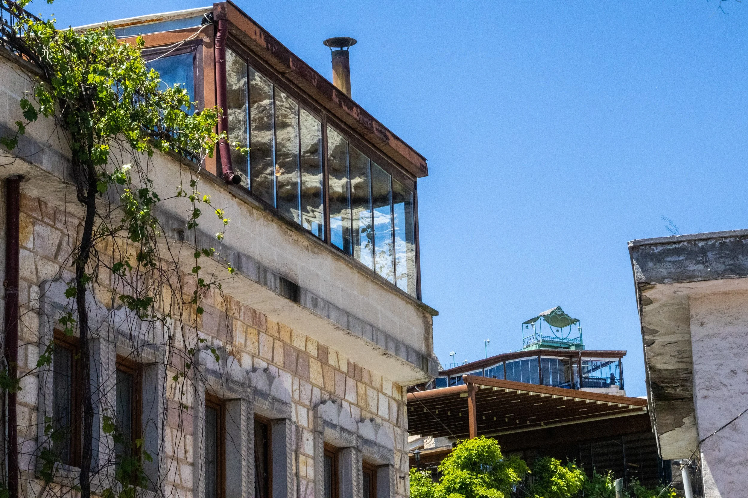
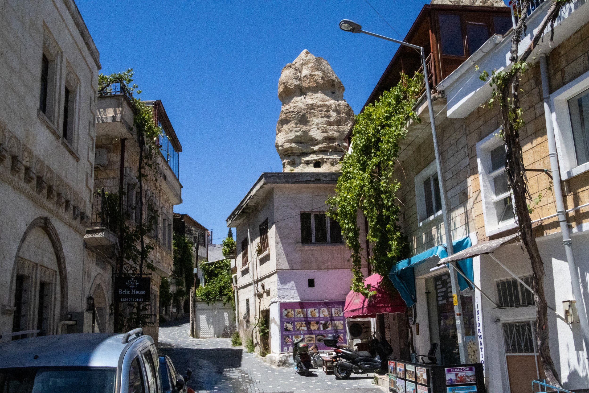
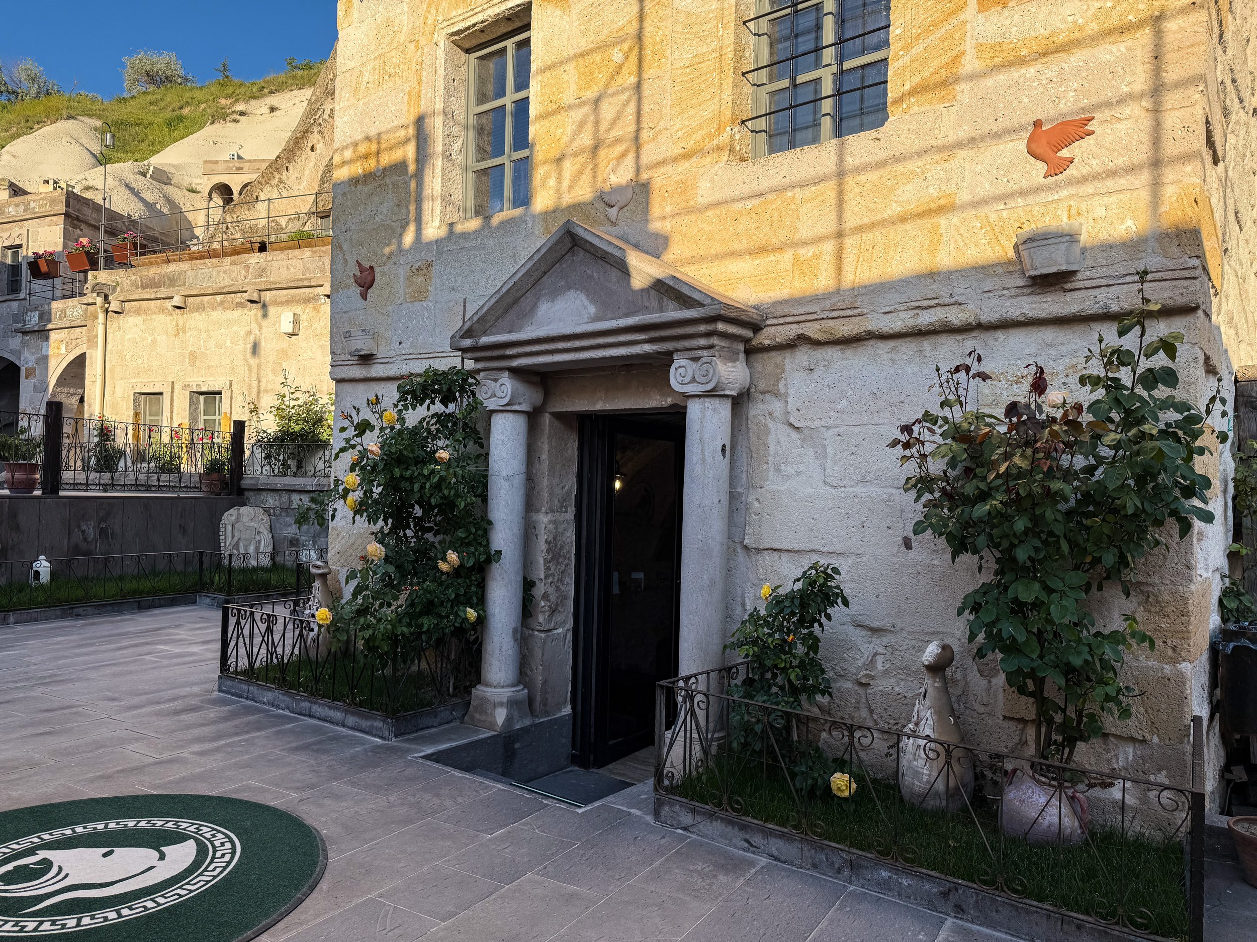
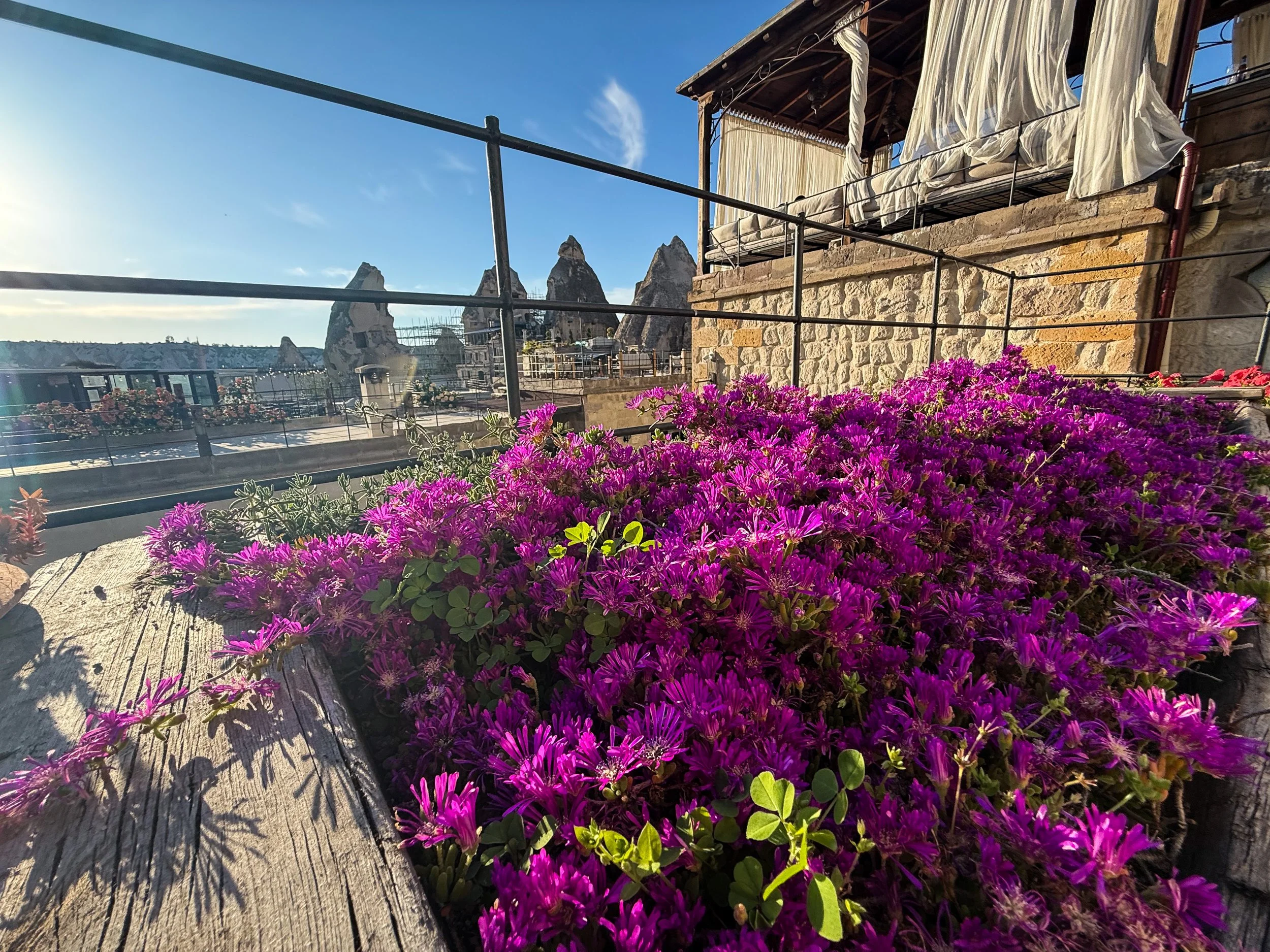
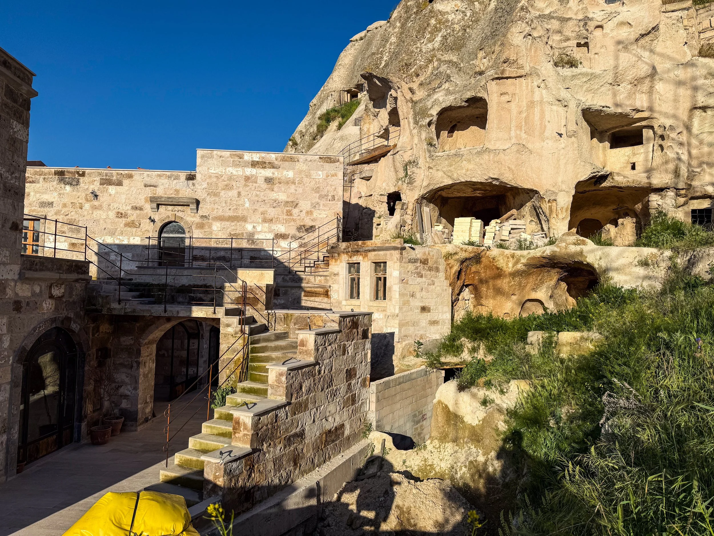
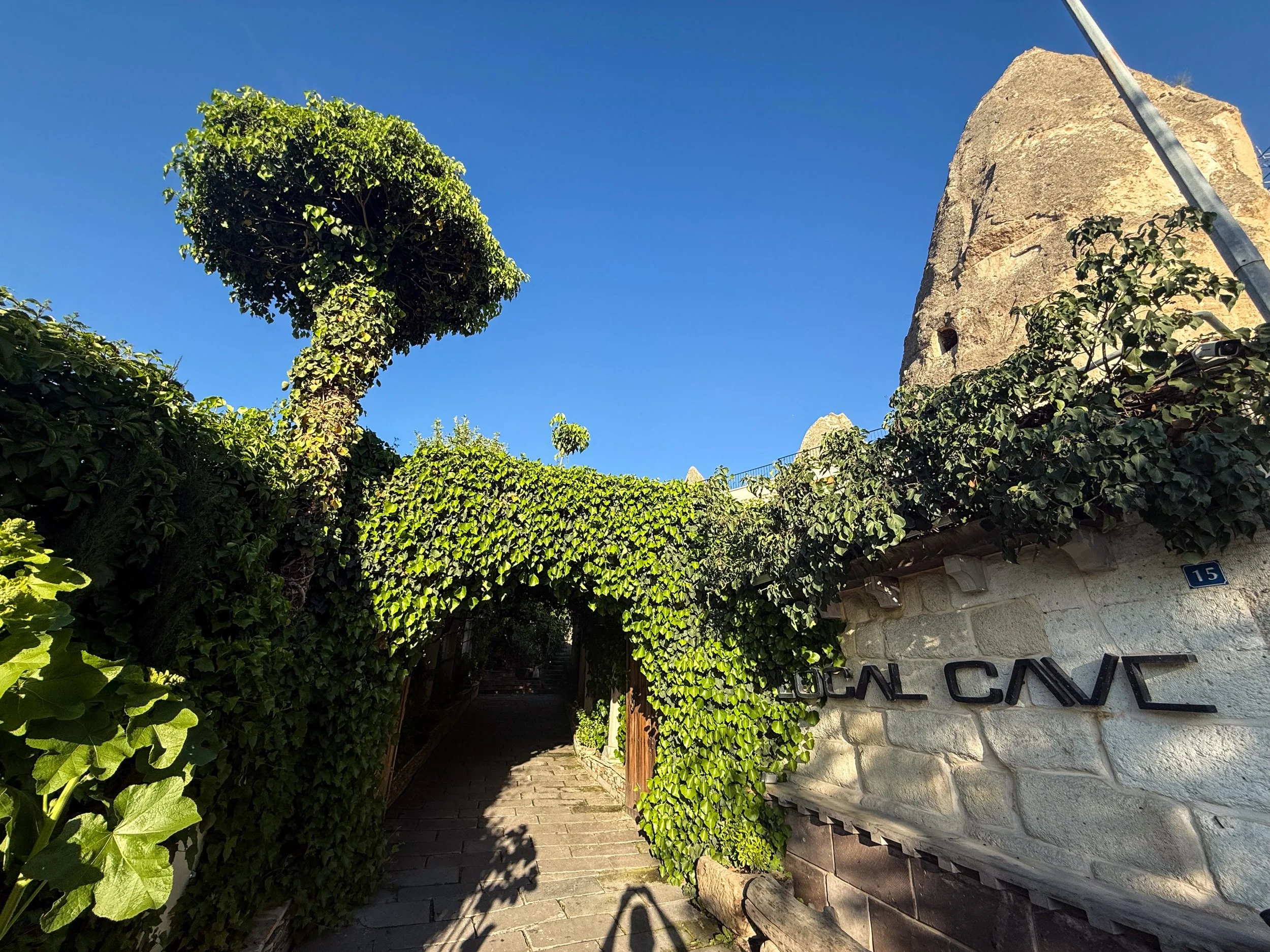
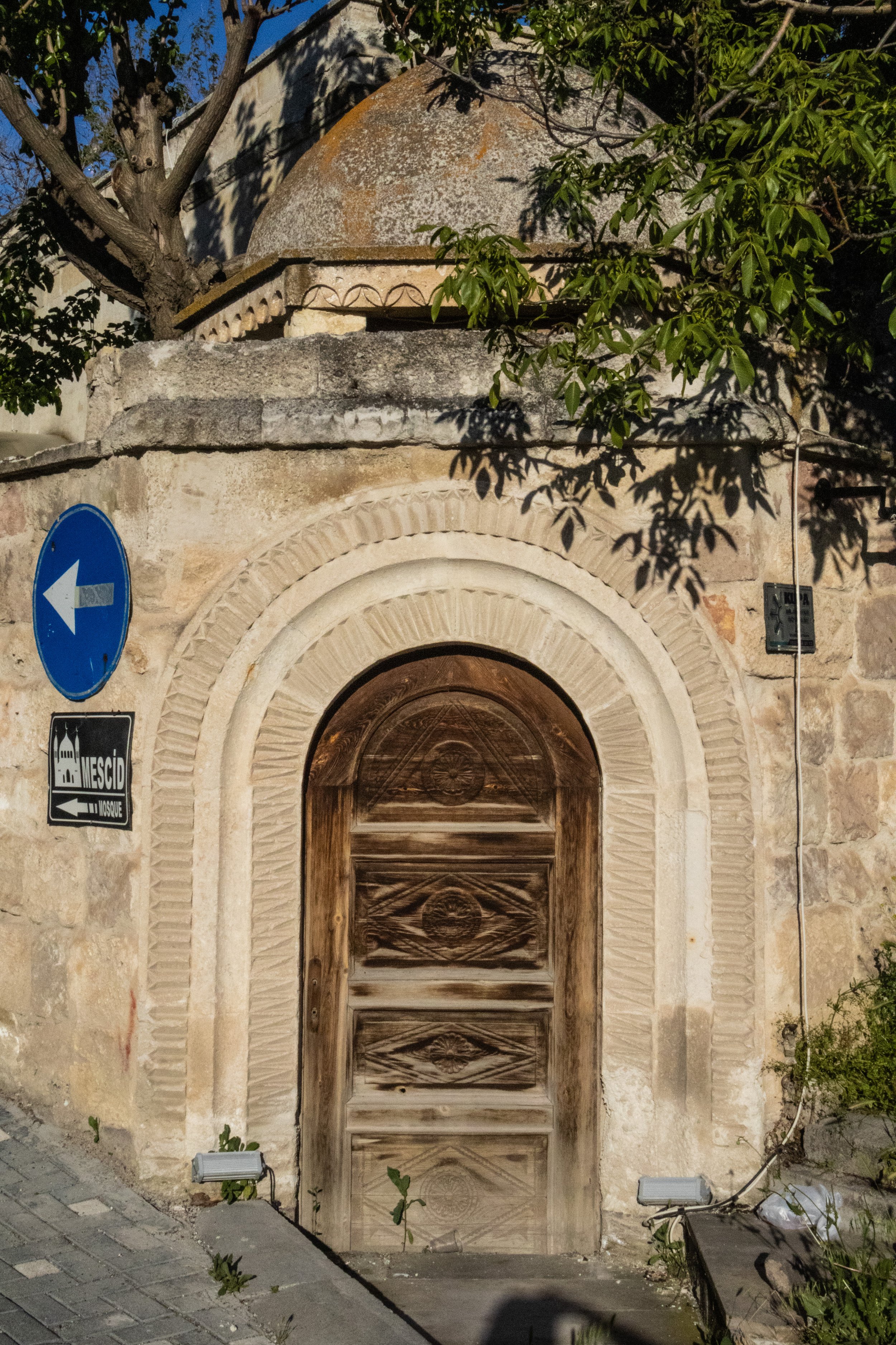
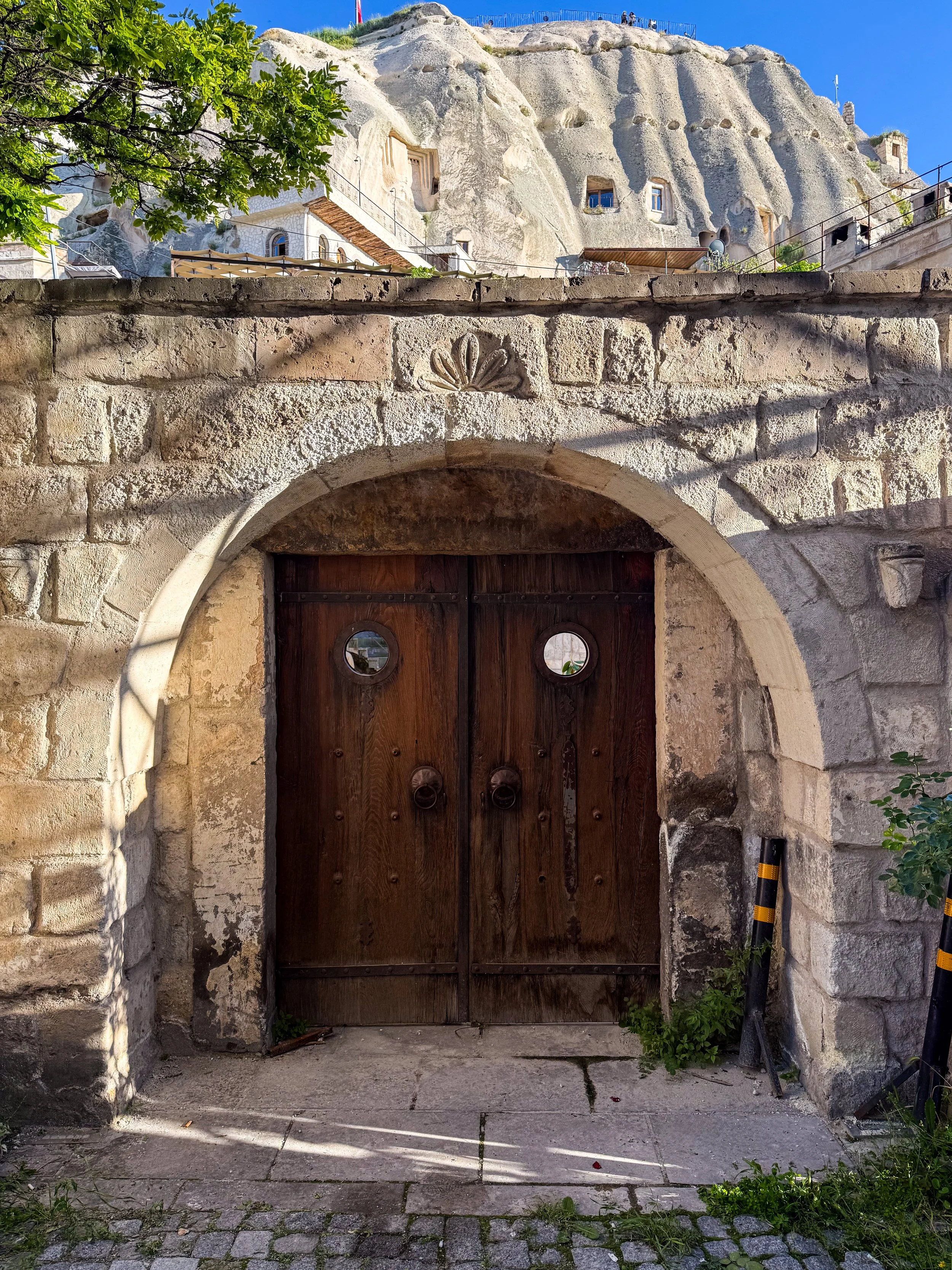
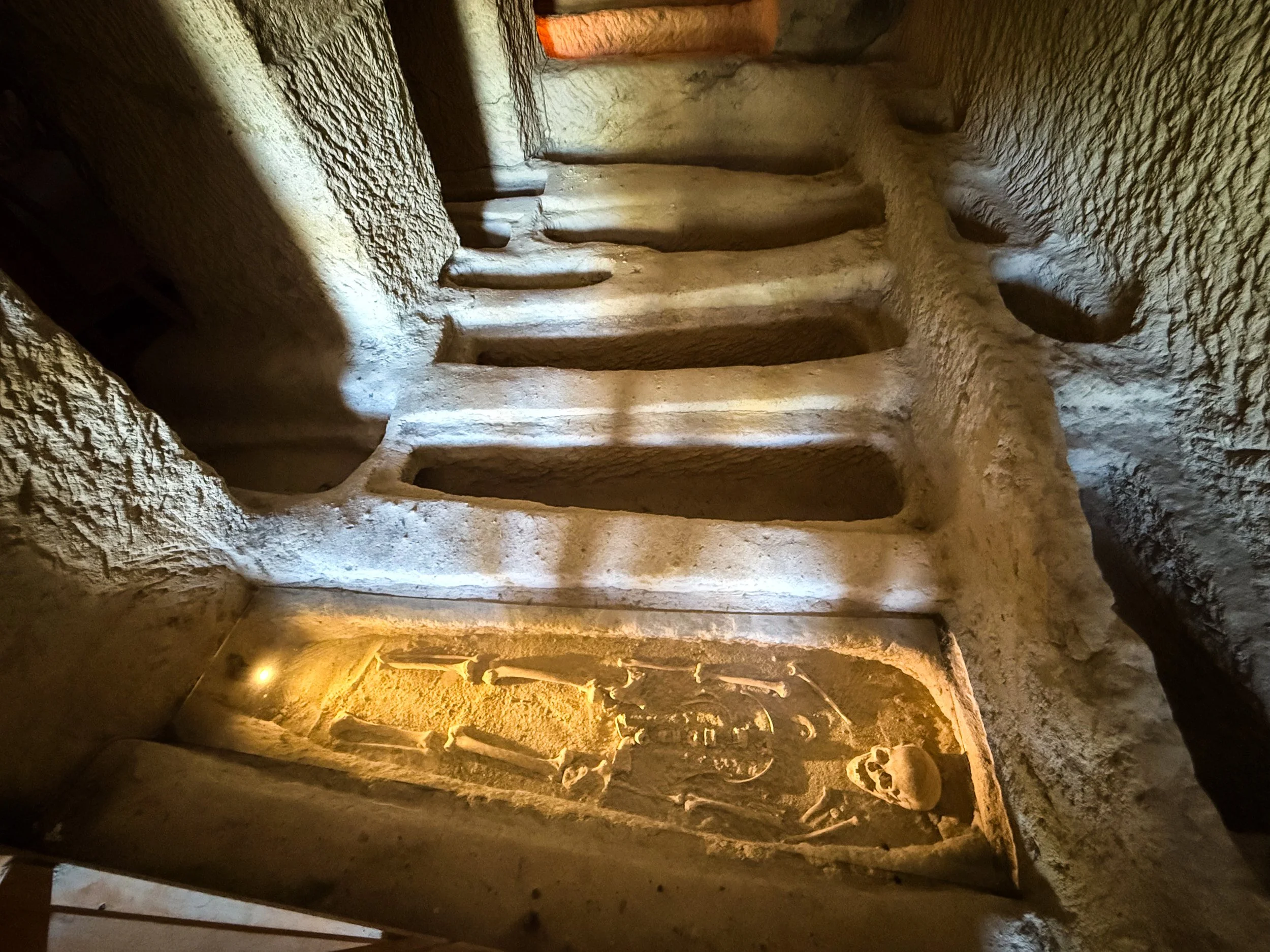
So what are these ruins from? In Göreme, these structures served a variety of purposes, such as homes, storage rooms, churches, monasteries, tombs. The tombs here are thought to be the necropolis associated with the ancient settlement that we now know as Avanos (the previous town). We’ll dive more into this history shortly, but first, let’s just explore the town, shall we? It’s completely otherworldly—again, like something out of a sci-fi novel—and the stone labyrinth of restaurants, hotels, homes, guest houses, small businesses, trinket shops, and luxury hotels is super fun to explore.
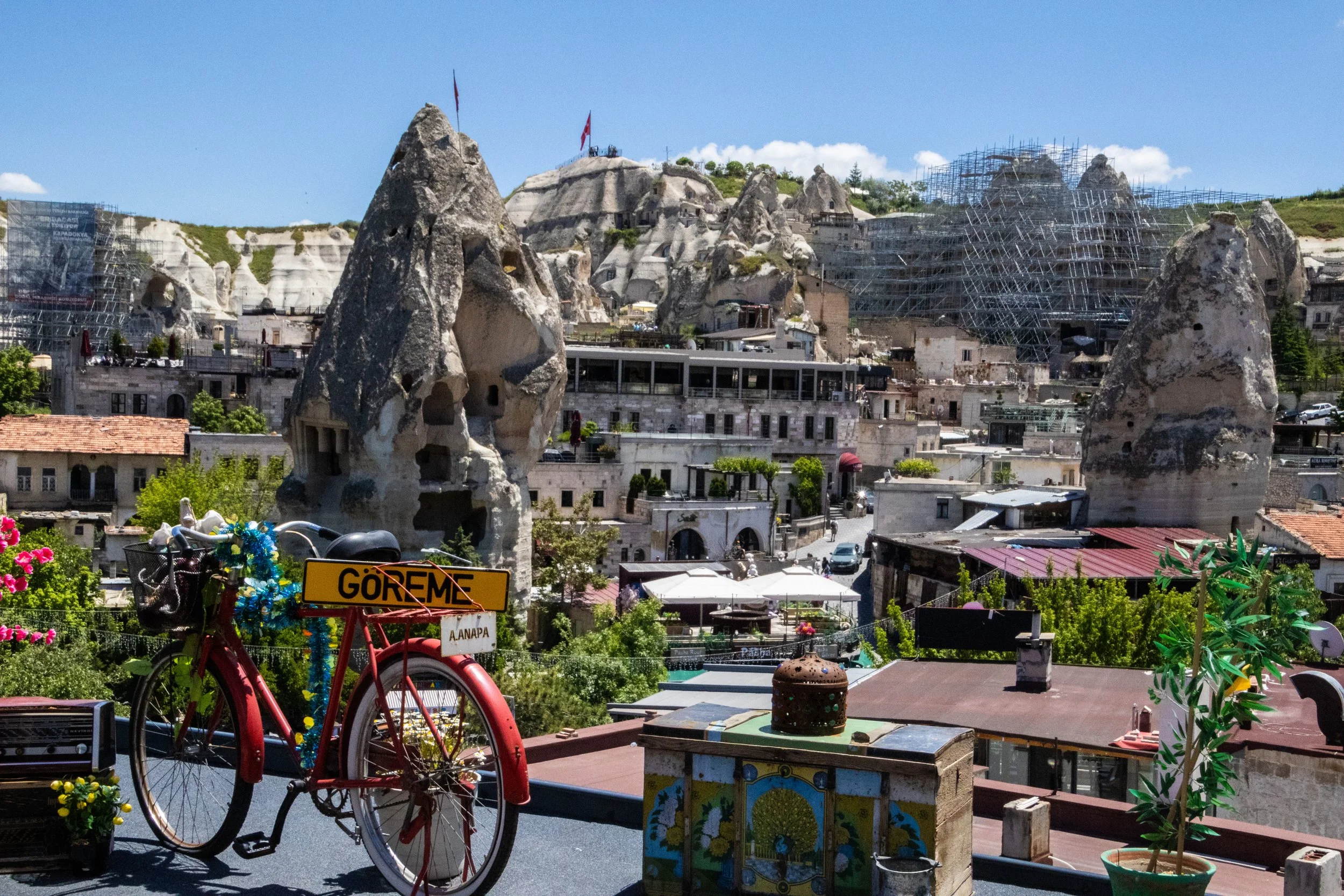
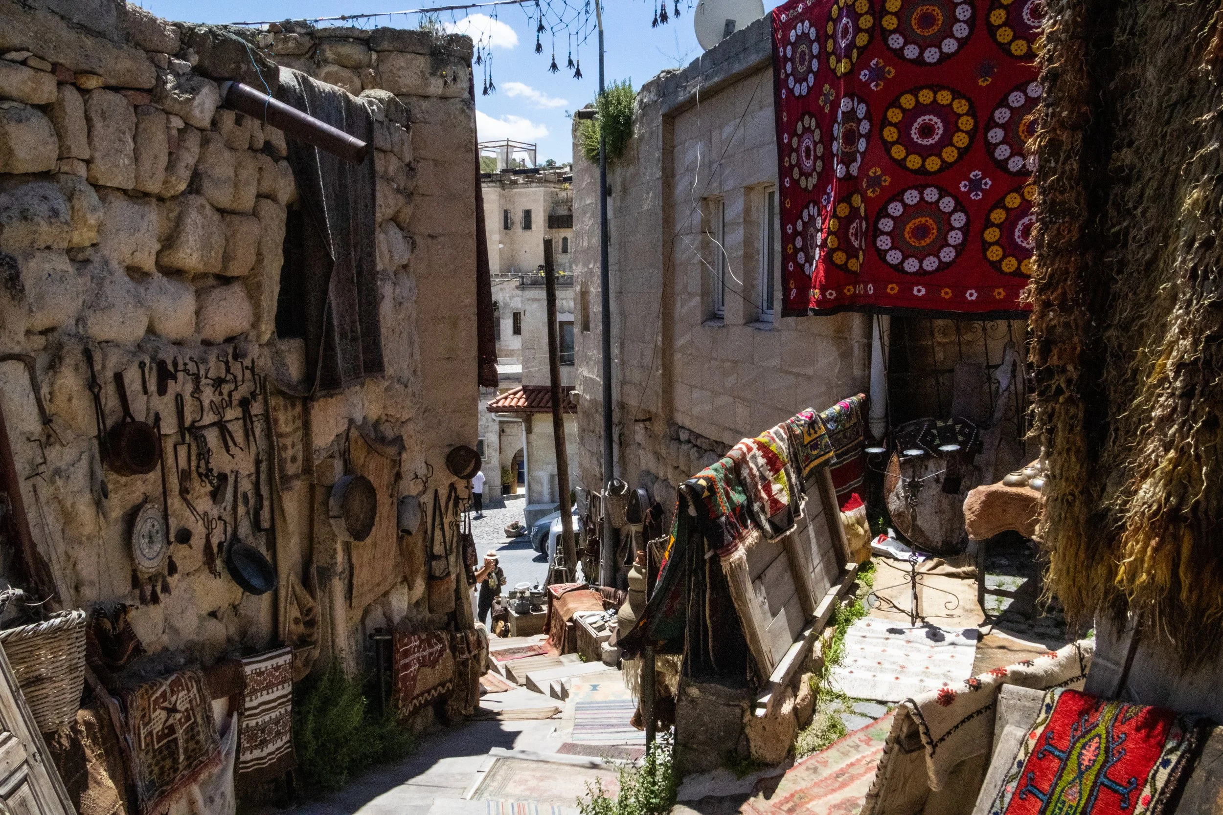
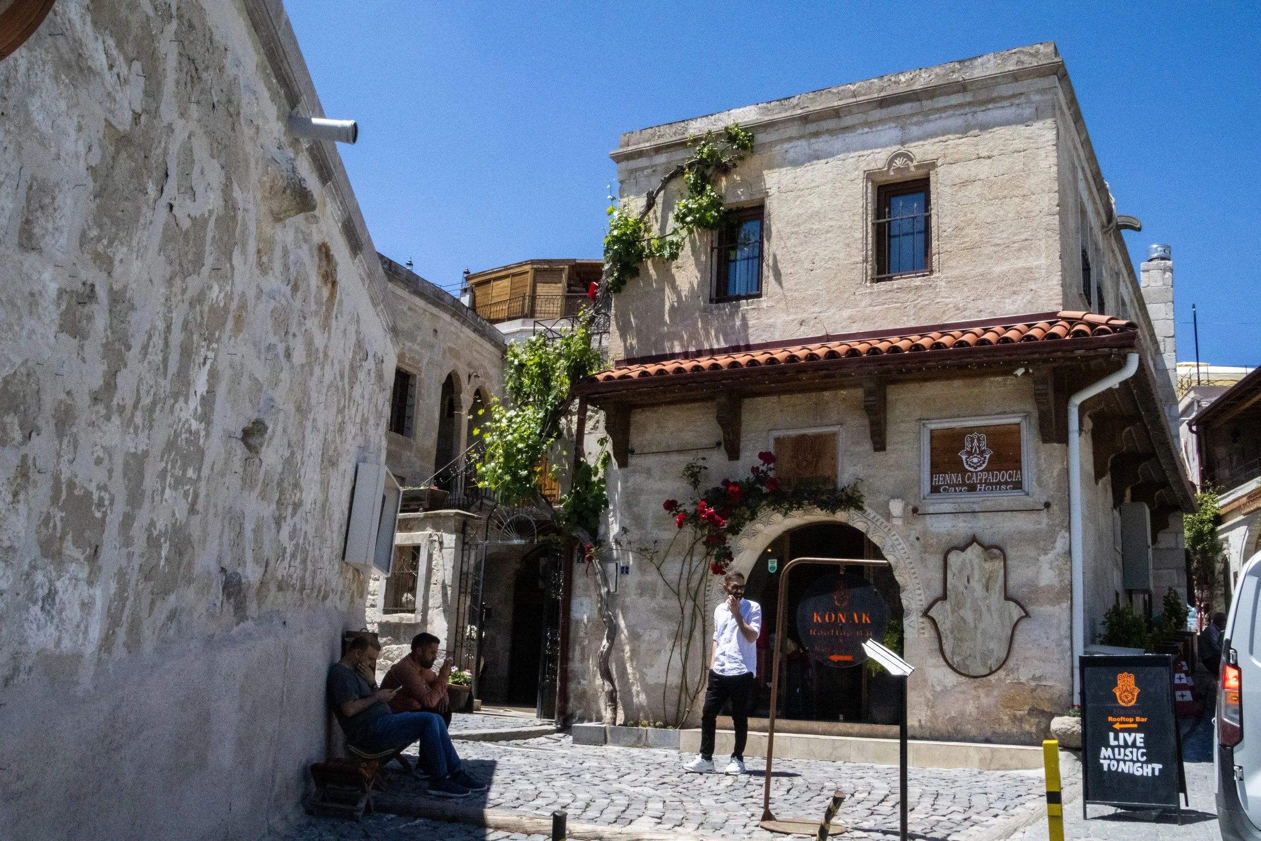
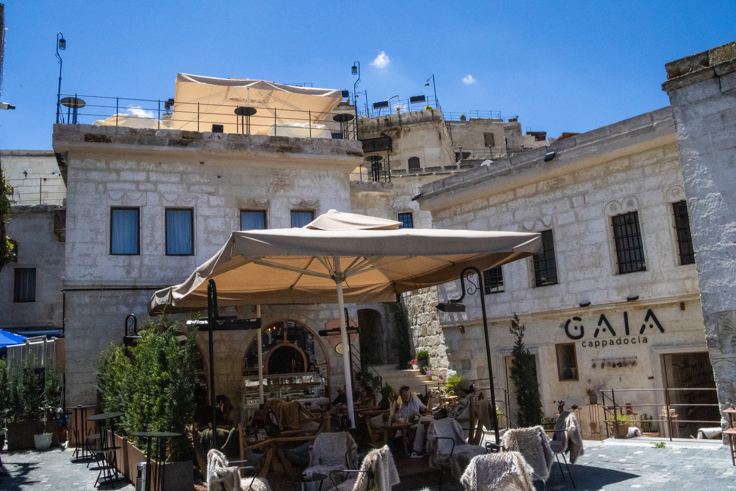
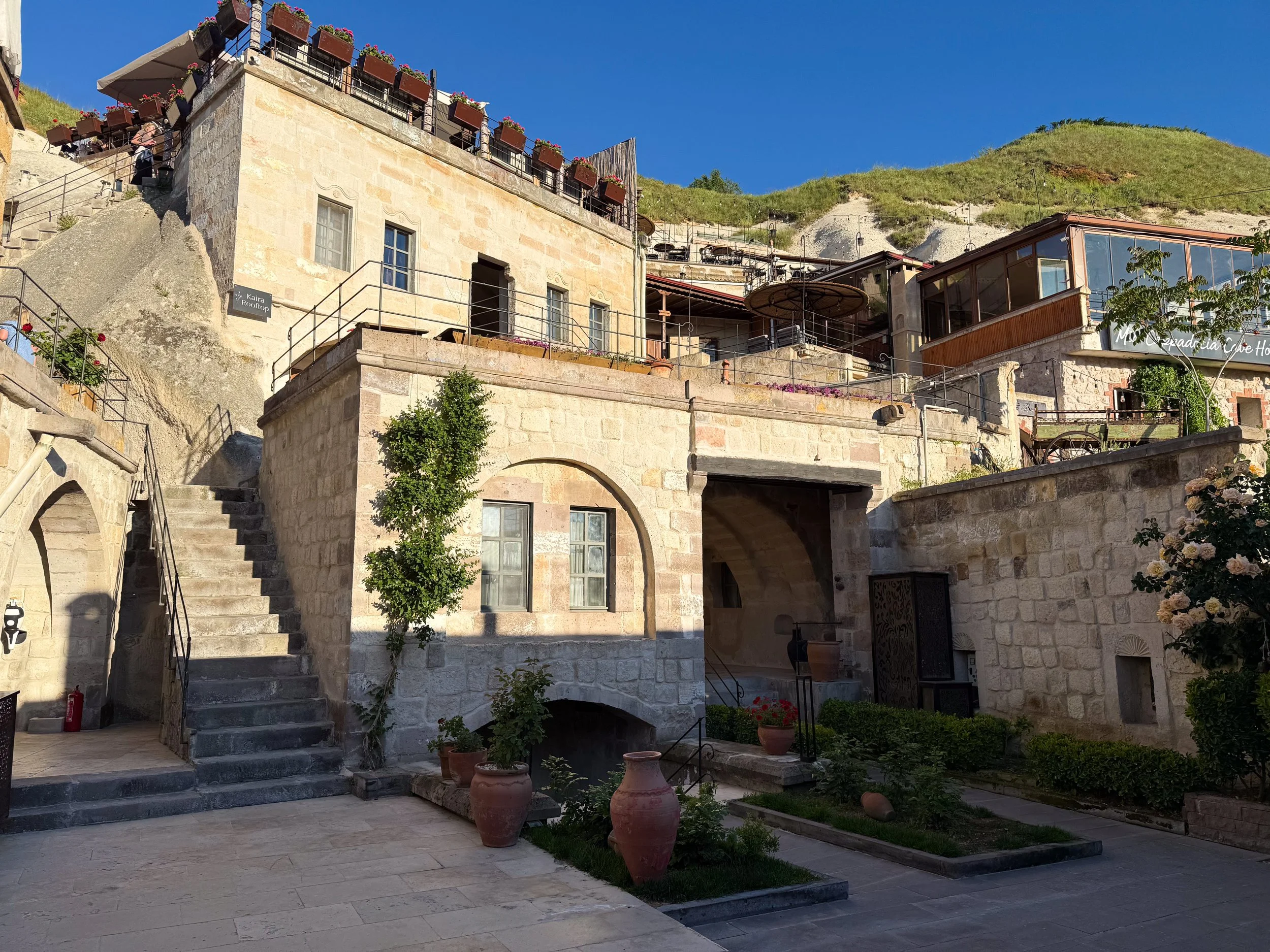
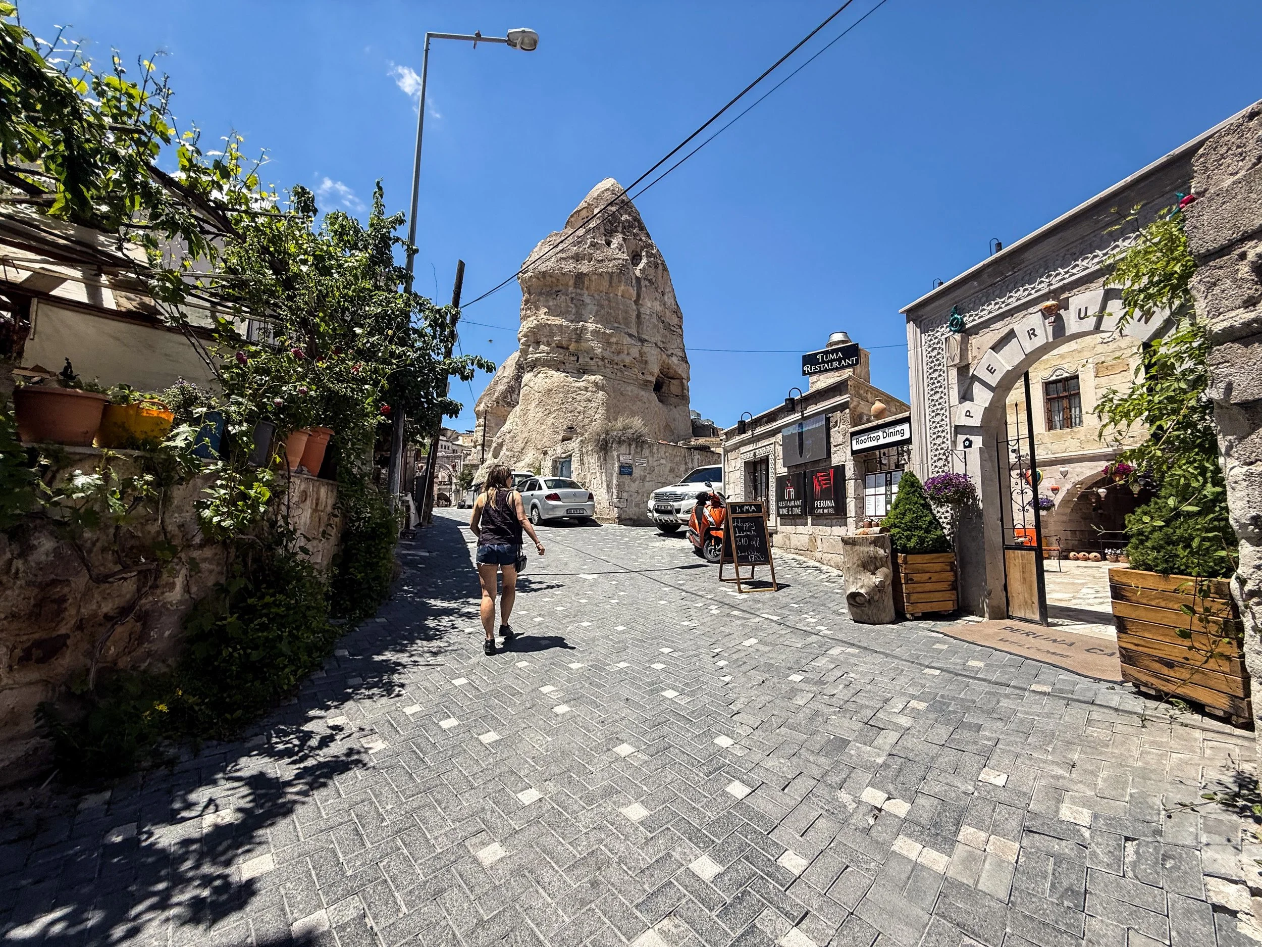
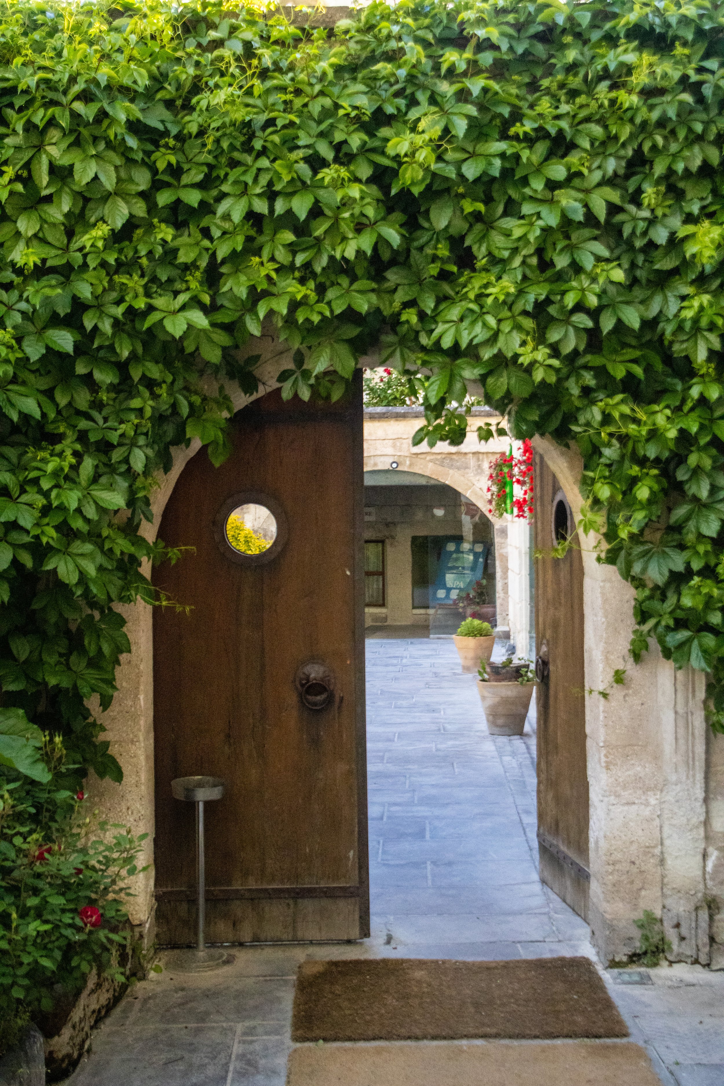
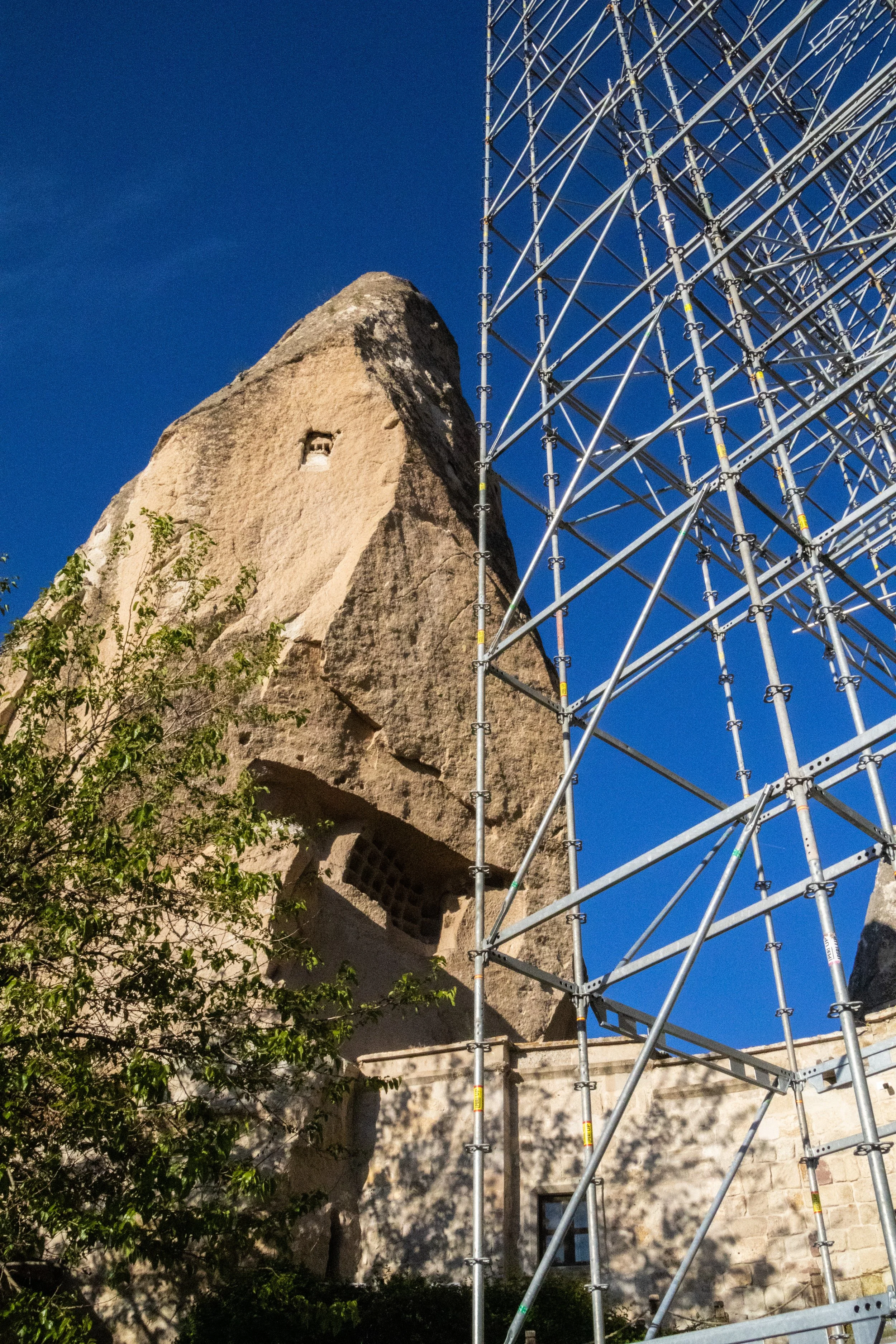
Göreme Open Air Museum
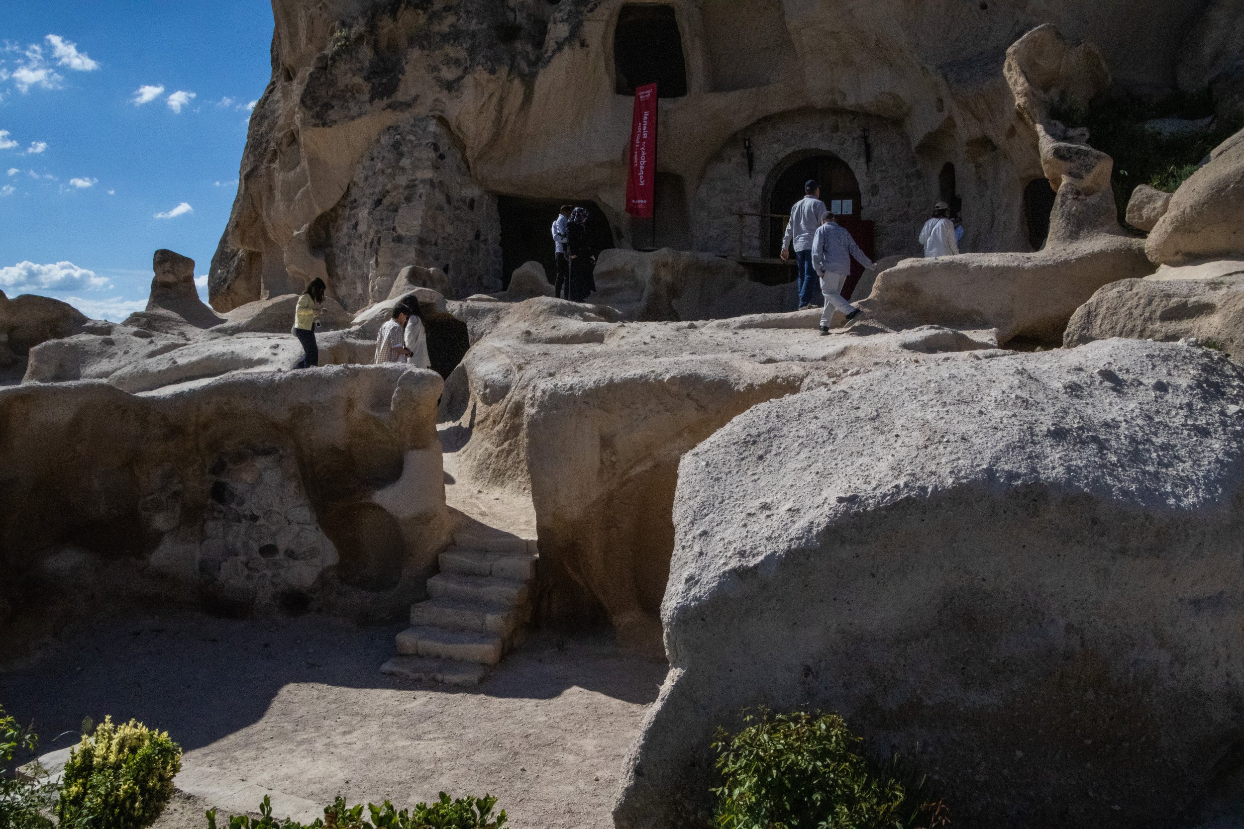
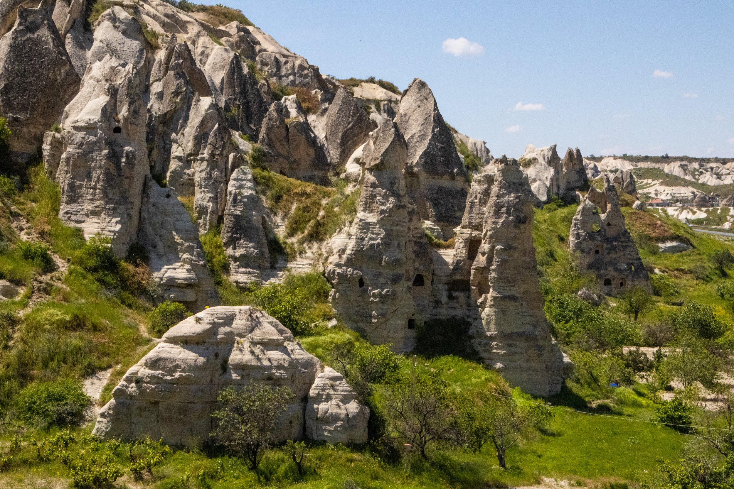
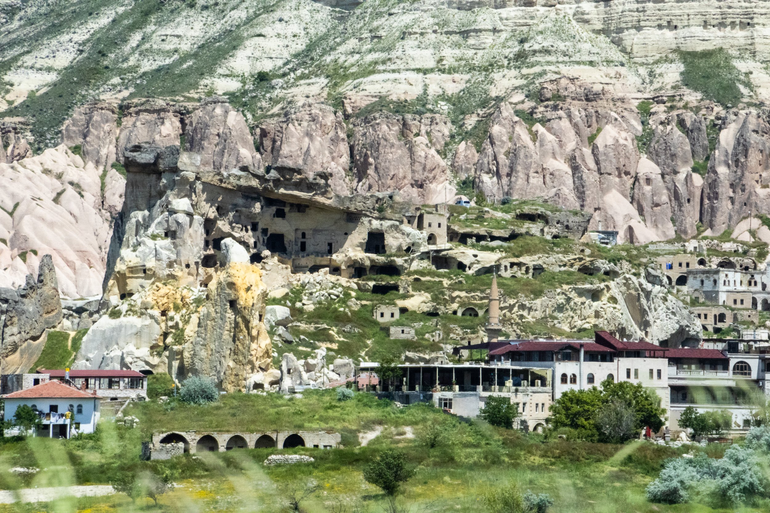
On the way into Göreme, there’s a fork in the road and a sign for the Göreme Open Air Museum. If you care about the history of Cappadocia at all, this is a “must”. This is an extensive archeological area of cave dwellings carved into fairy chimneys that is free for exploration. On the periphery of this area, there are lots of ancient cave dwellings that are completely unrestricted; you can climb through them to your hearts’ content, just like (obscure reference incoming) the temples of Bagan, in central Myanmar. NO adult supervision whatsoever. But for the really crazy stuff, you have to buy tickets.
There’s a veritable beehive of cave dwellings here that are very much reminiscent of the Native American ruins in places like Arizona and New Mexico in the US, but the most fascinating thing here for me was the churches. Yes, you read that right: here in the middle of the deeply Islamic nation of Türkiye, there is a cluster of ancient churches.
Christianity reached Cappadocia extremely early. In fact, Cappadocia appears in the New Testament itself:
Acts 2:9 → “…When they heard this sound, a crowd came together in bewilderment, because each one heard their own language being spoken. Utterly amazed, they asked: “Aren’t all these who are speaking Galileans? Then how is it that each of us hears them in our native language? Parthians, Medes and Elamites; residents of Mesopotamia, Judea and Cappadocia…”
1st Peter 1:1 → “…To God’s elect, exiles scattered throughout the provinces of Pontus, Galatia, Cappadocia, Asia and Bithynia…”
Indeed, Cappadocia—which was part of the Roman Empire at the time—was home to some of Christianity's first generations. It was the Roman Emperor Constantine that legalized Christianity, which paved the way for the “Cappadocian Fathers” to become some of the most pivotal figures in early Christian theology. This group consisted of 3 men: Basil the Great of Caesarea (c. 330–379), Gregory of Nazianzus (c. 329–390), and Gregory of Nyssa (c. 335–c. 395). Their intellectual work became foundational for what developed into both Eastern Orthodox and Catholic Christianity. So these caves really did serve as a backdrop for some super important events in the history of Christianity. But, before we get to the churches, let’s see this cave community itself:
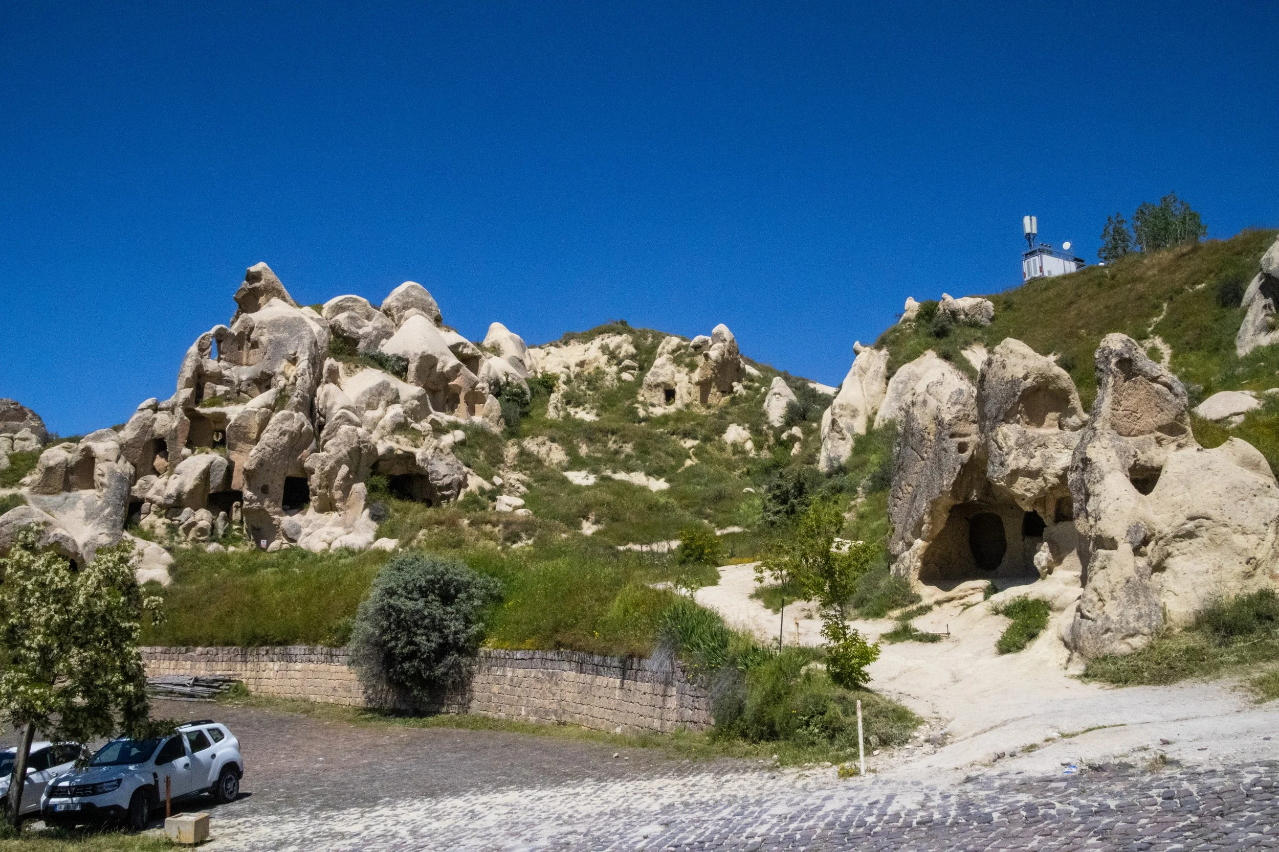
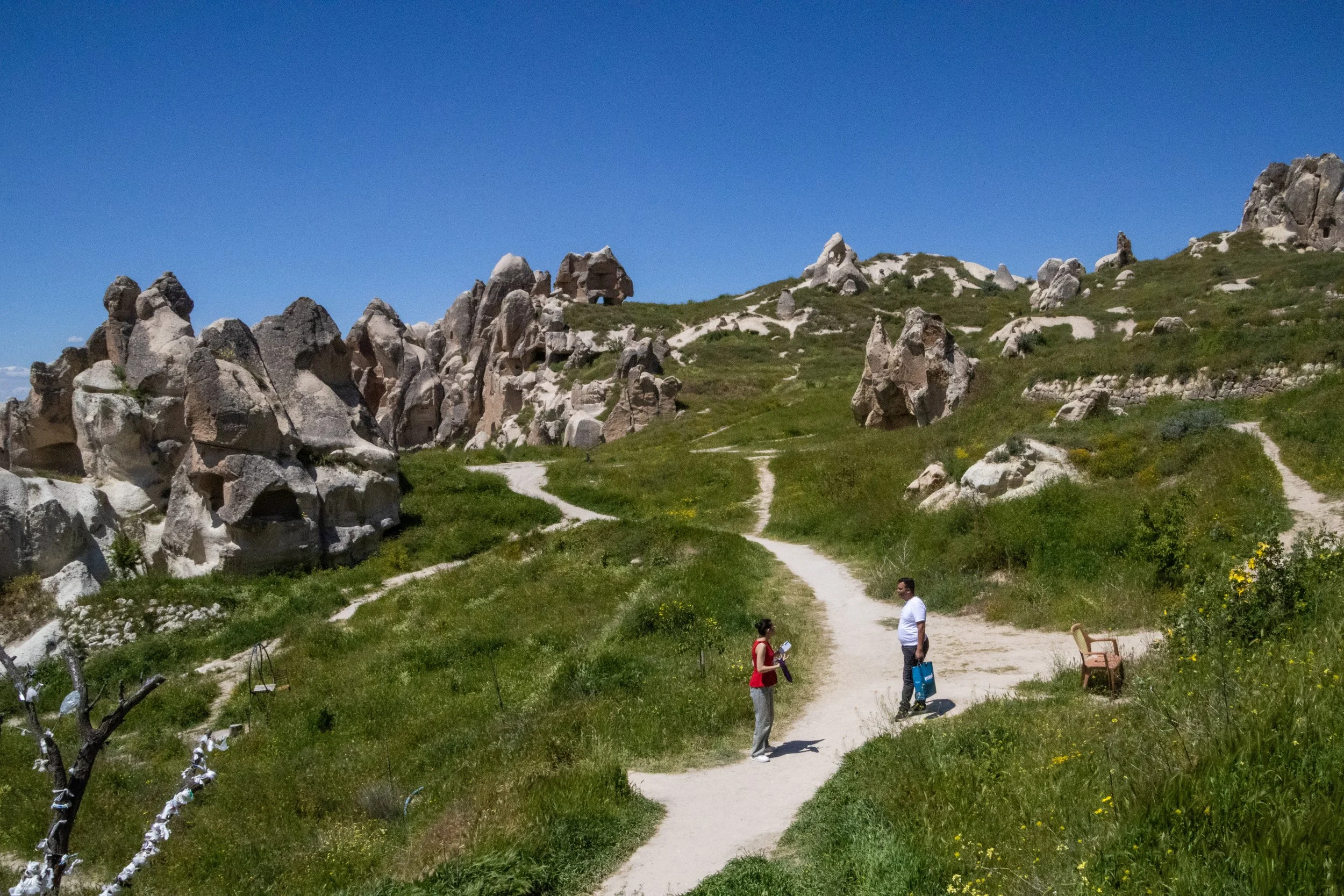
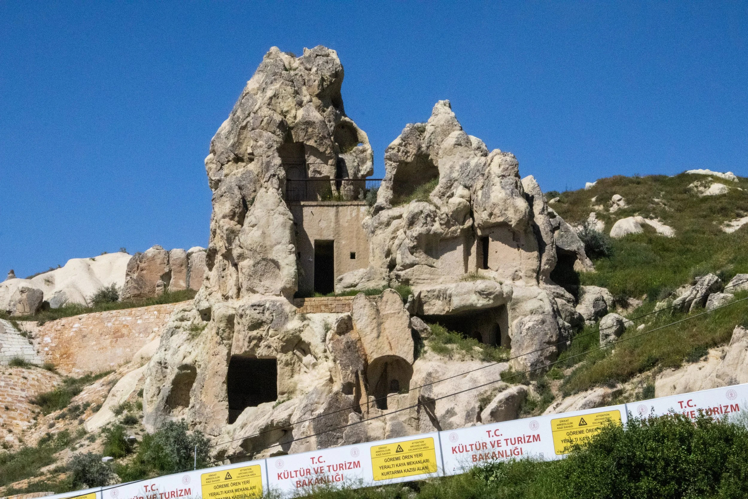
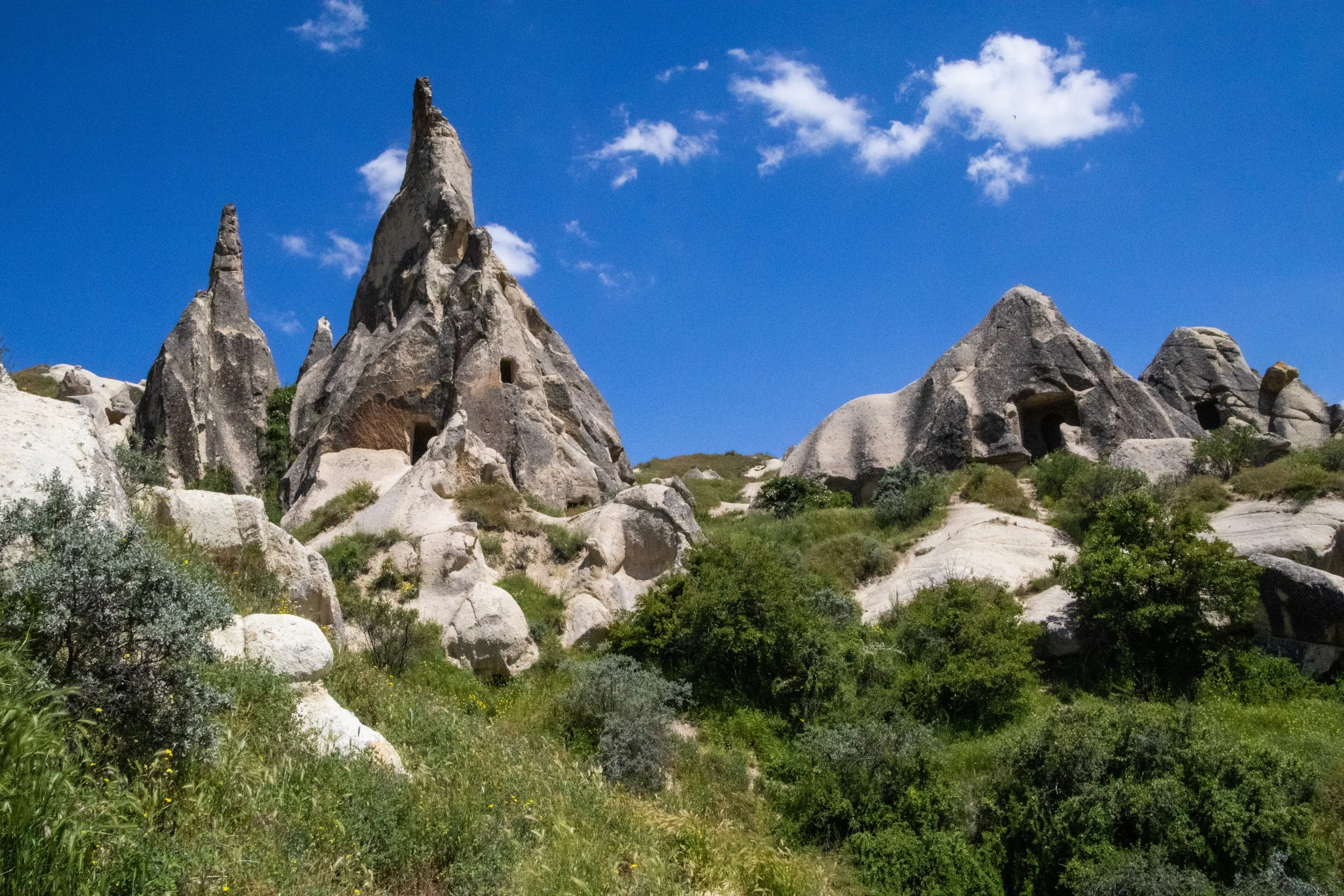
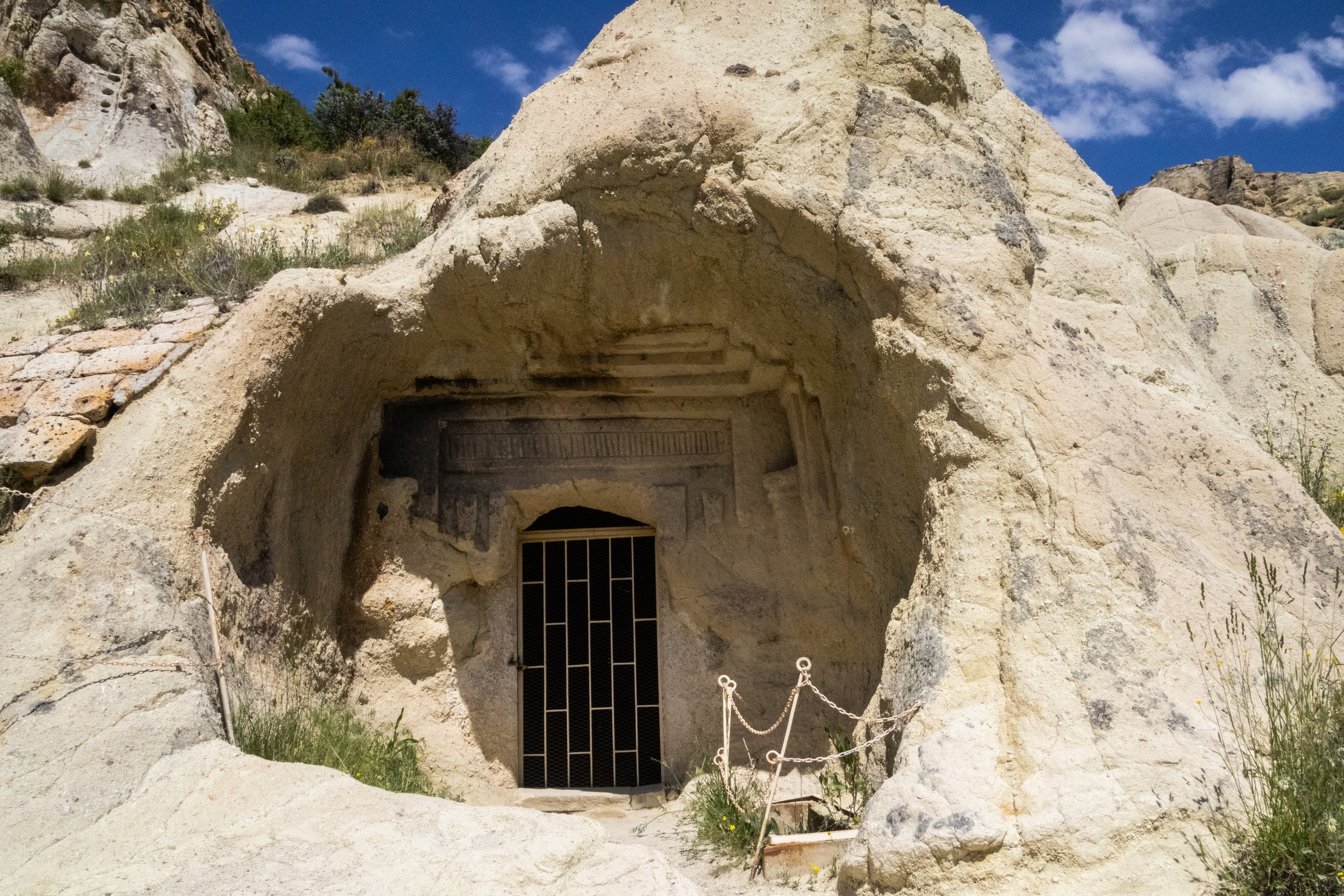
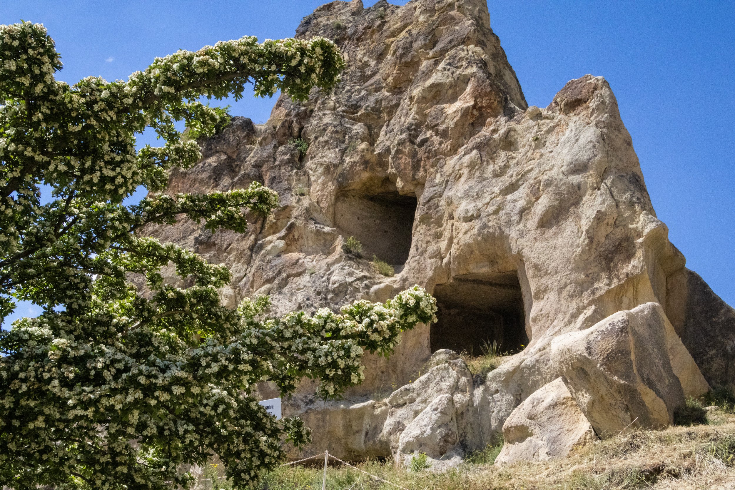
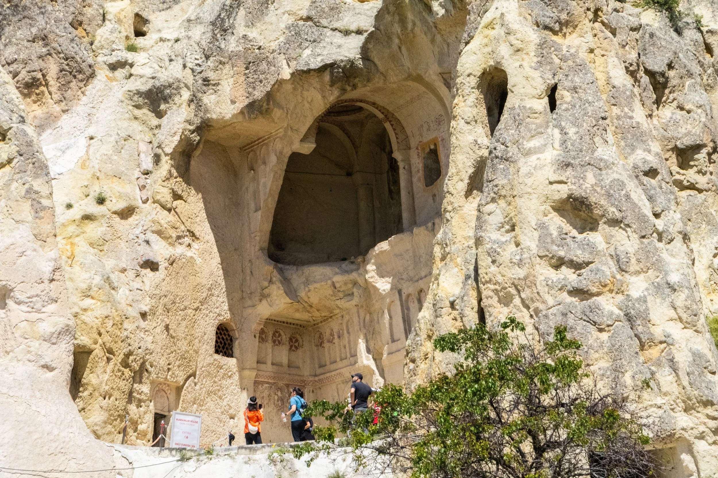
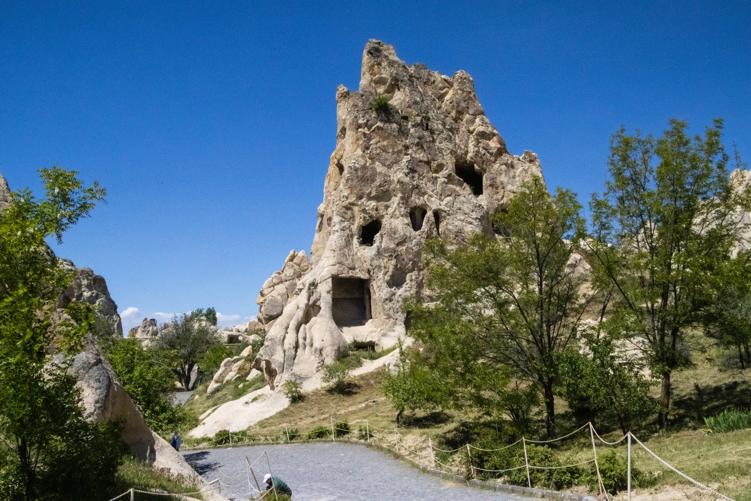
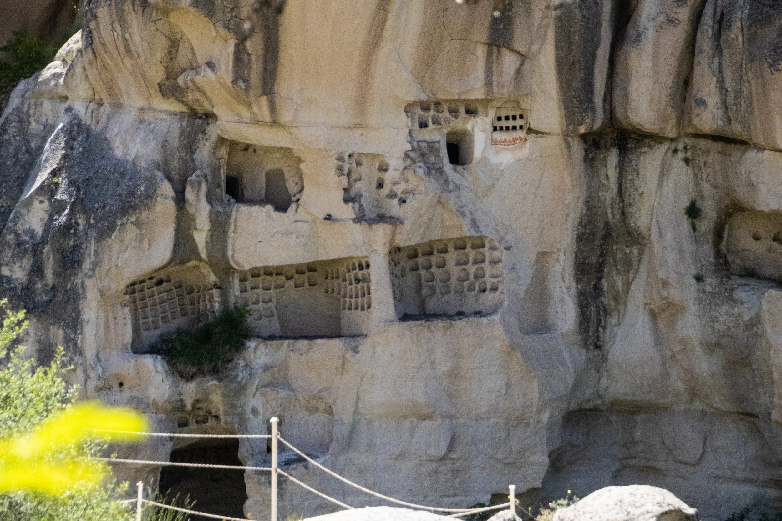
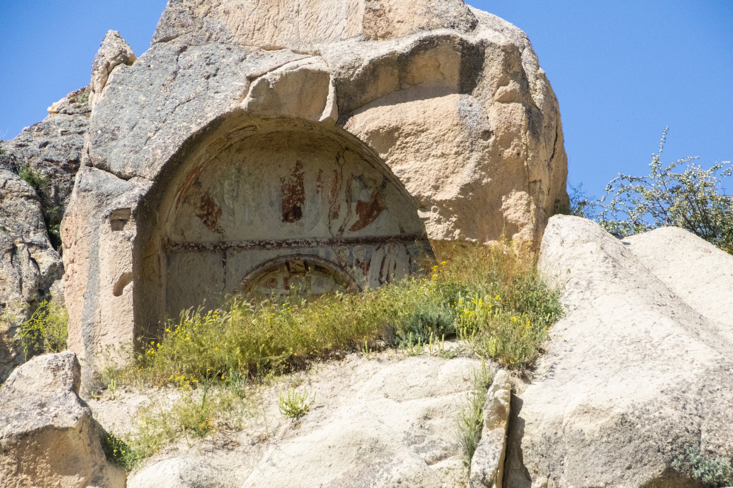
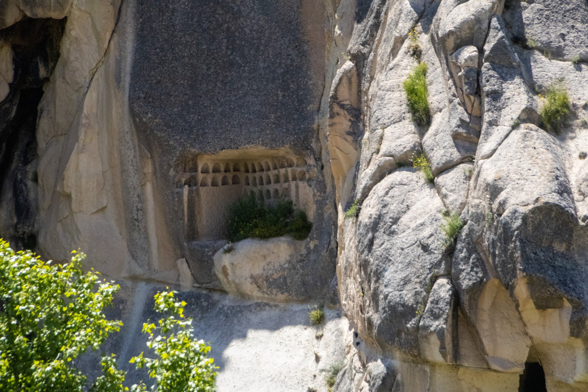
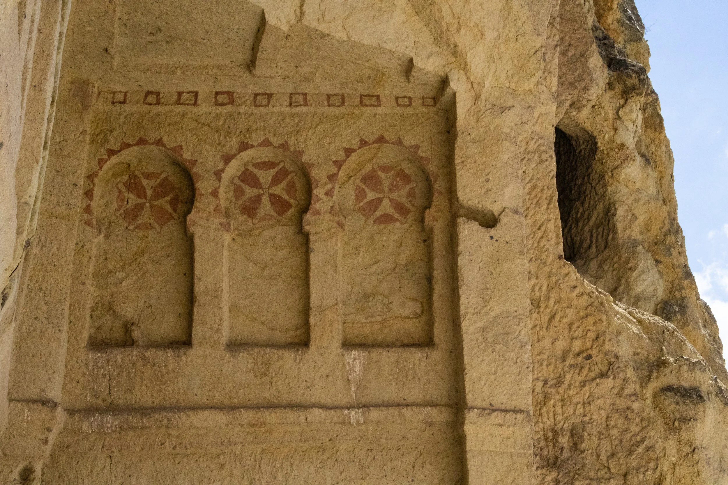
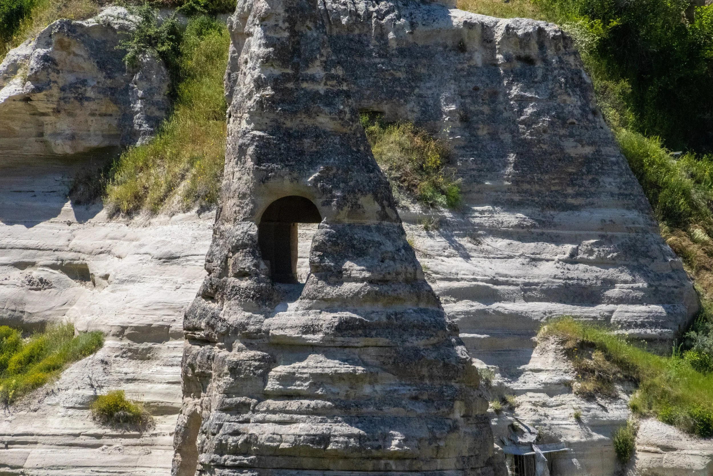
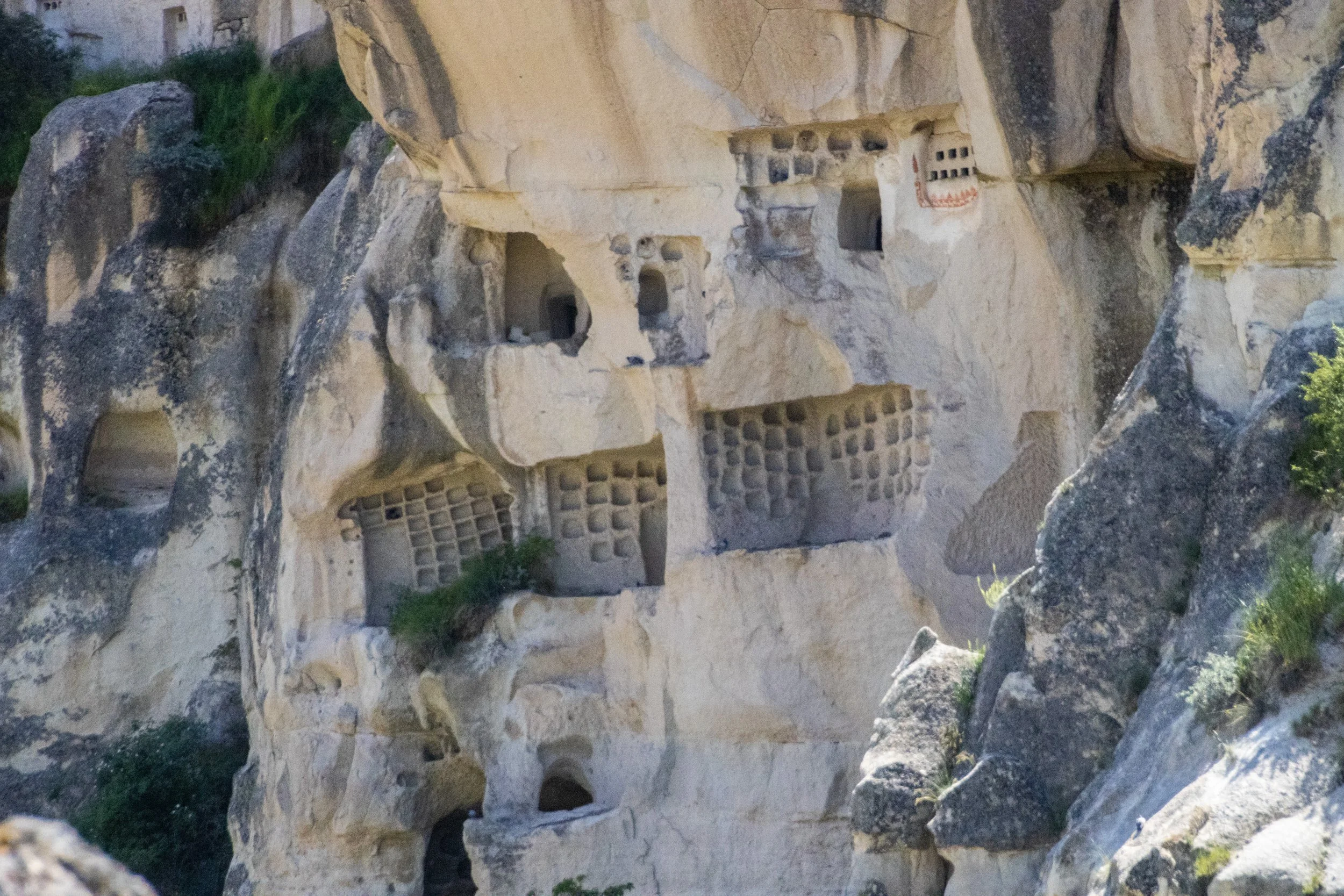
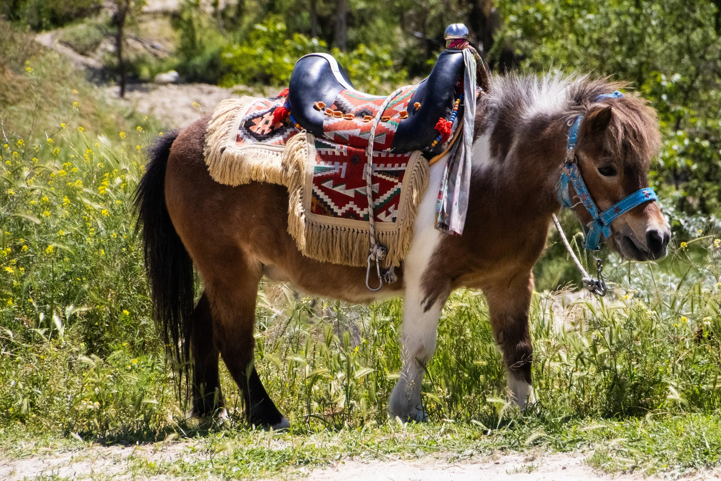
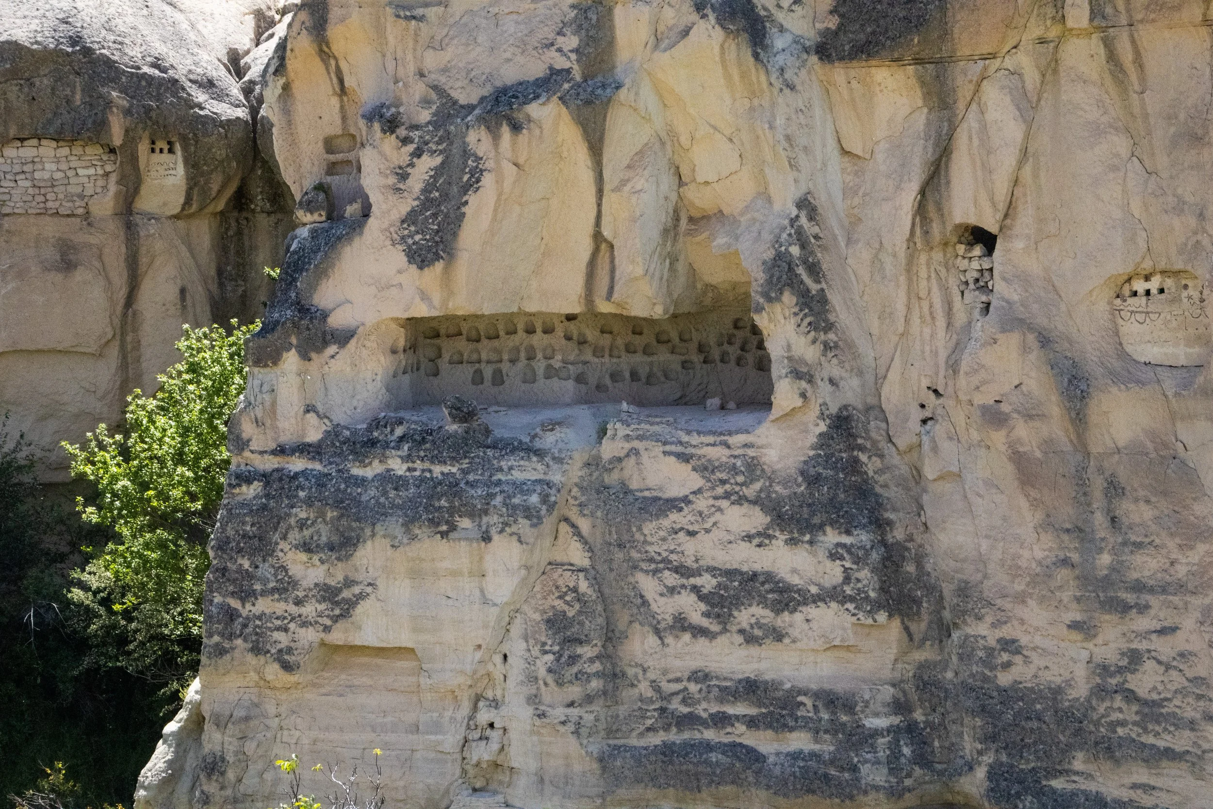
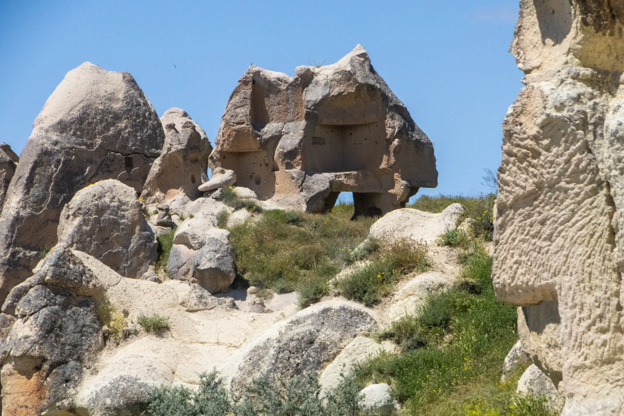
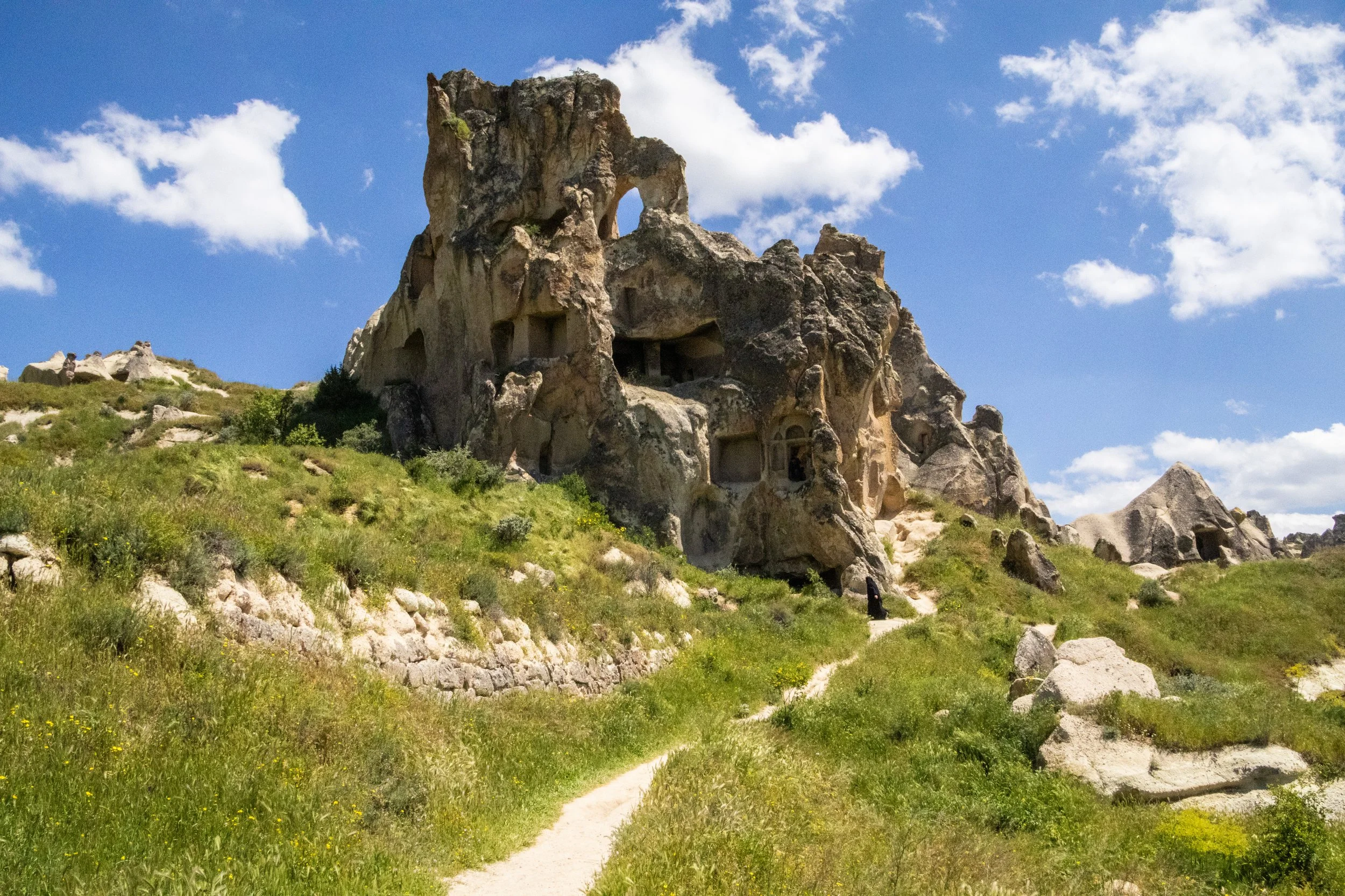
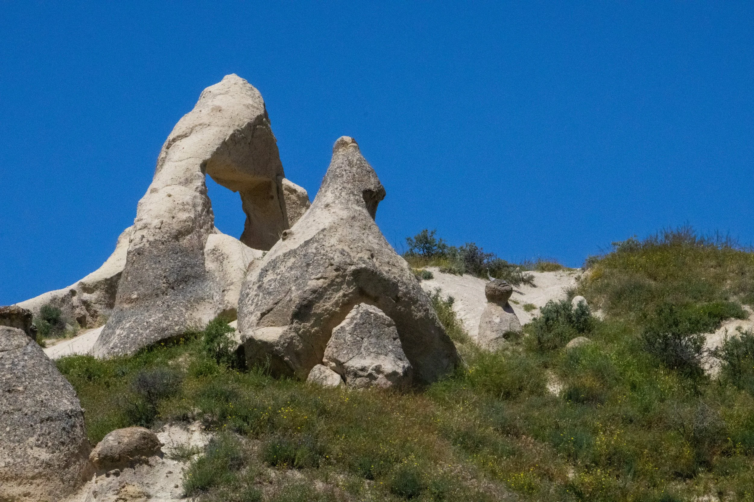
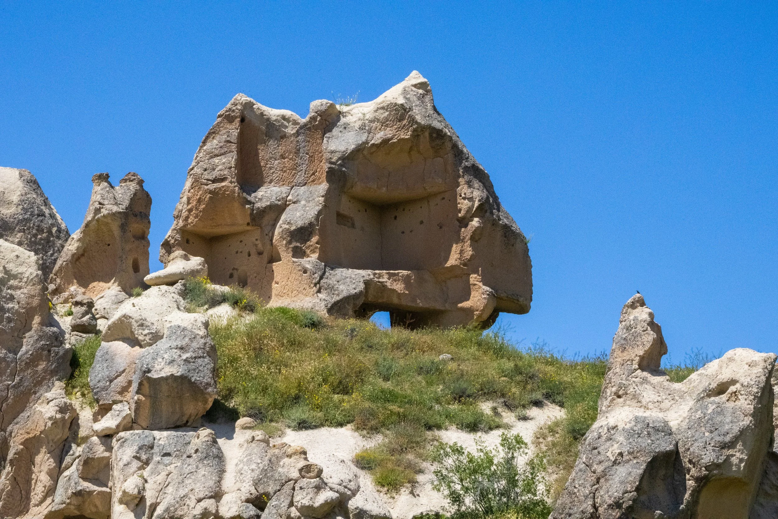
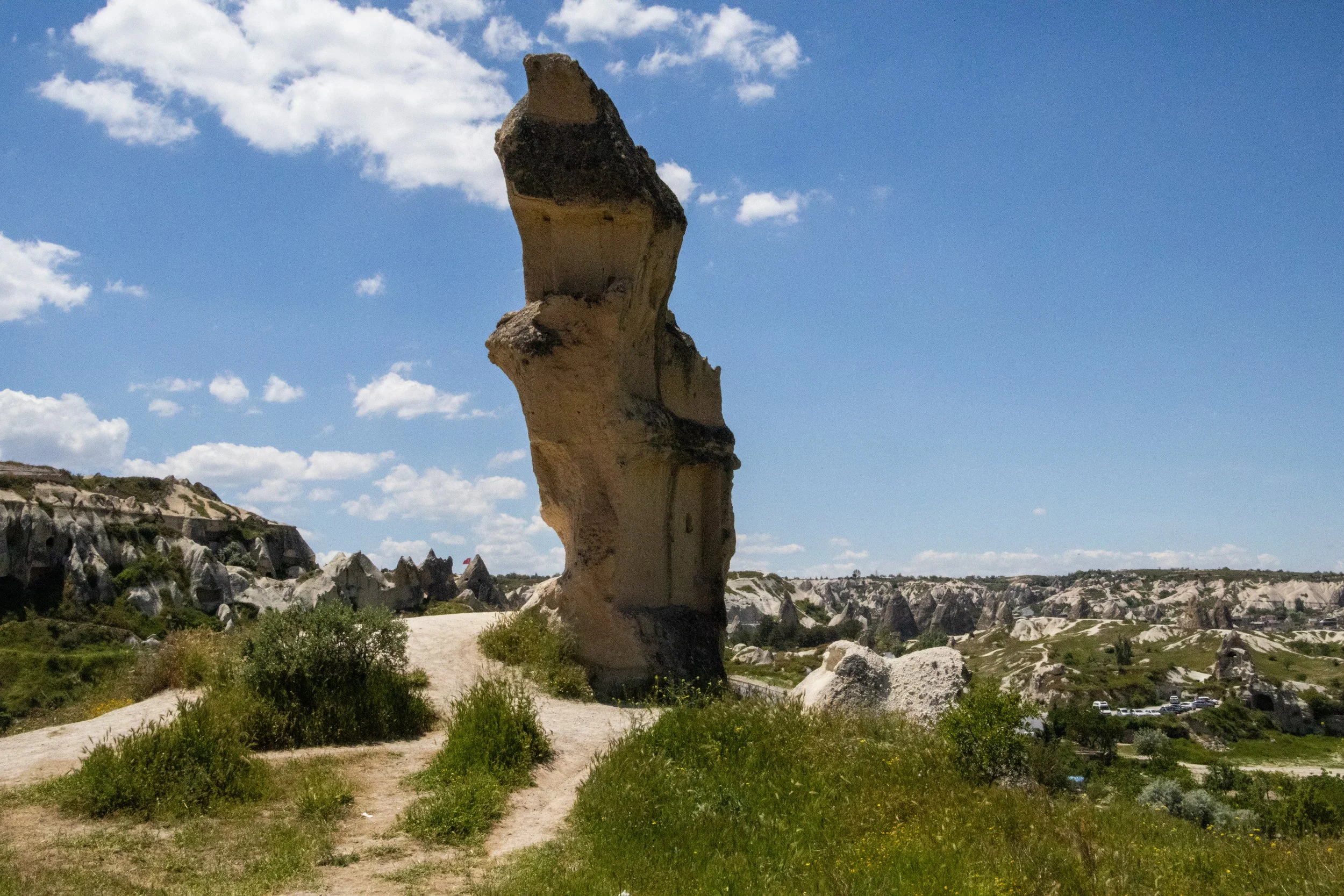
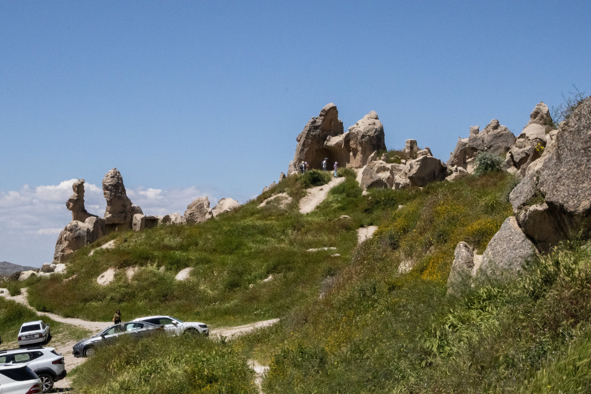
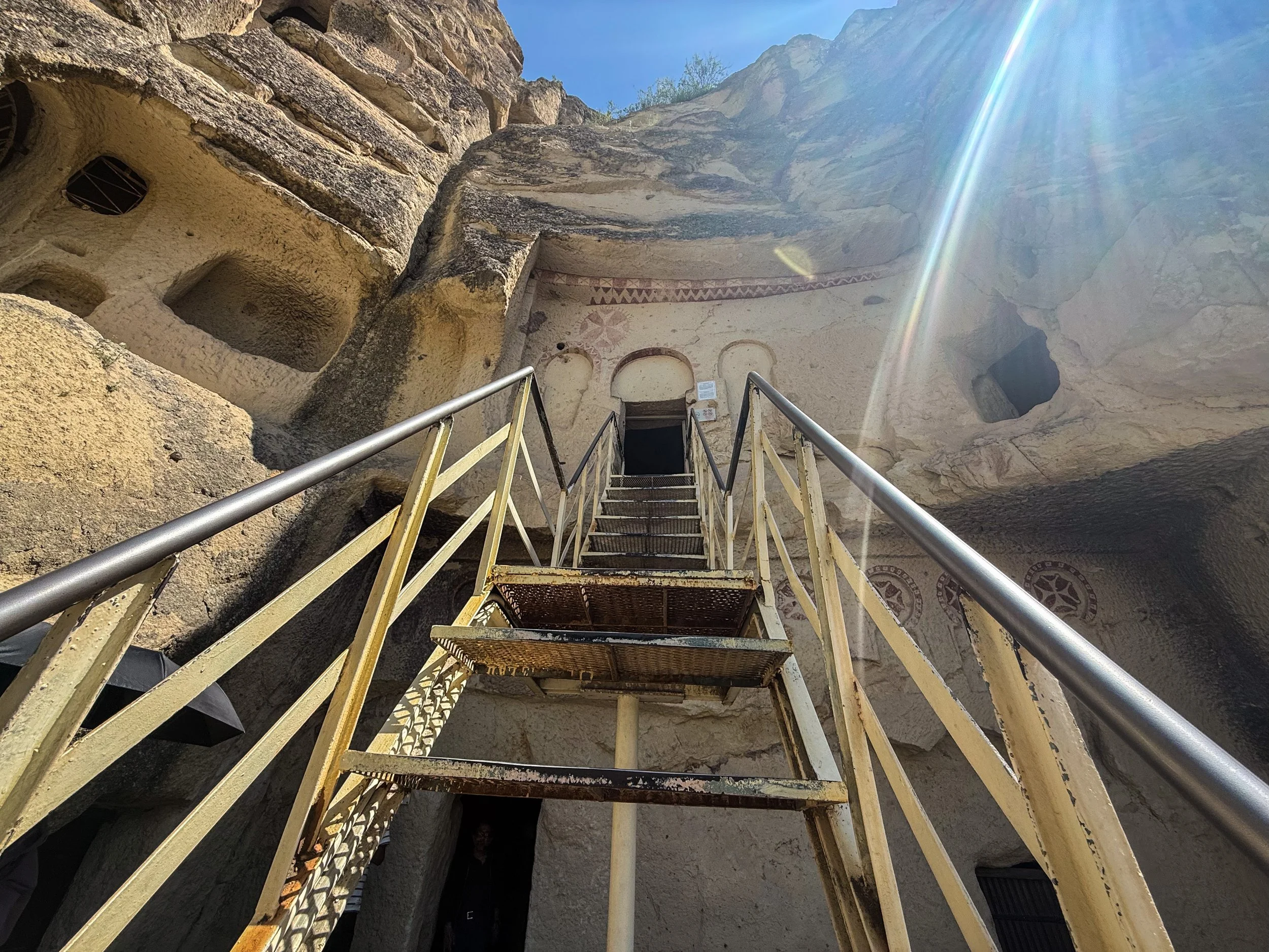
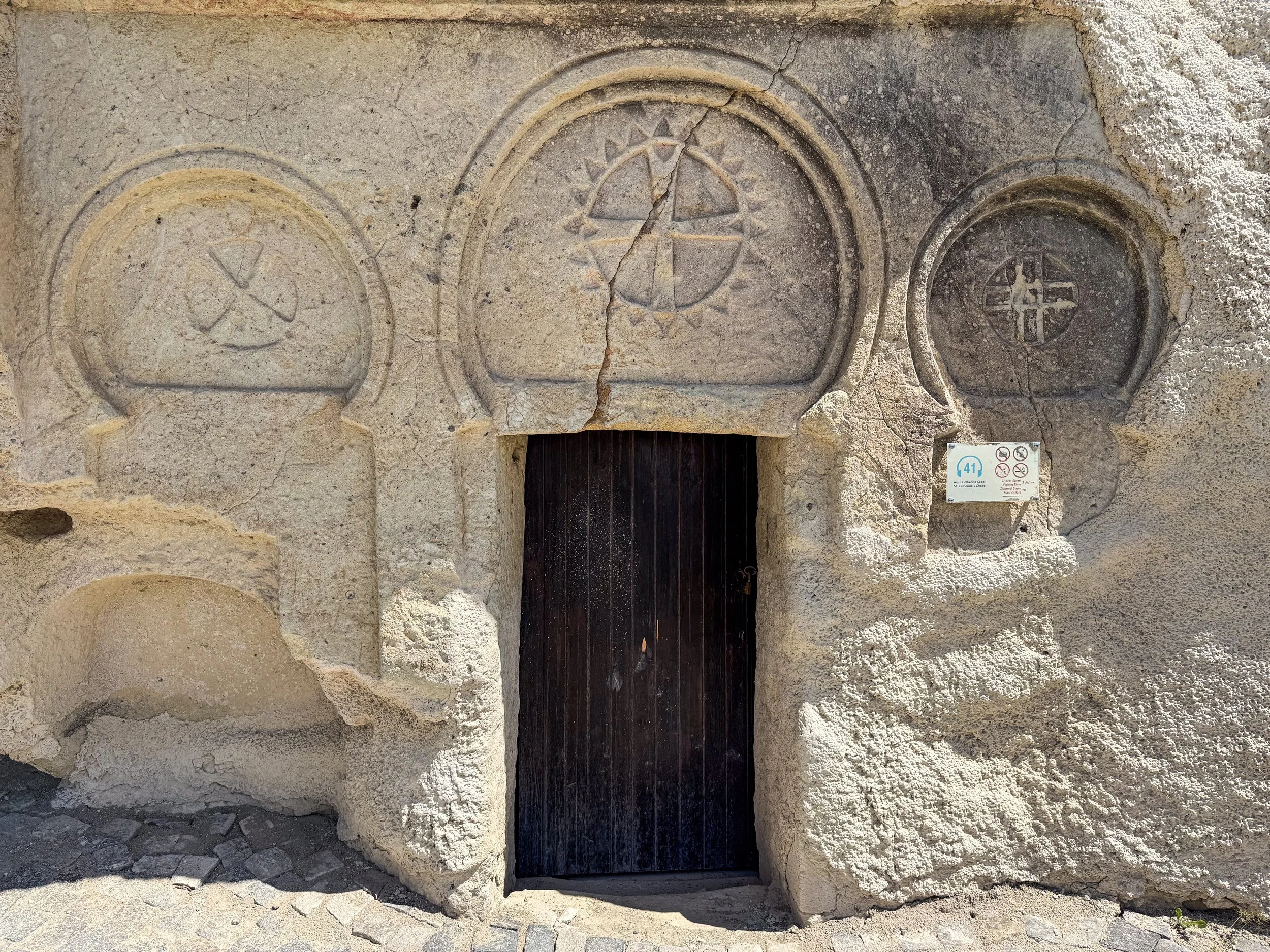
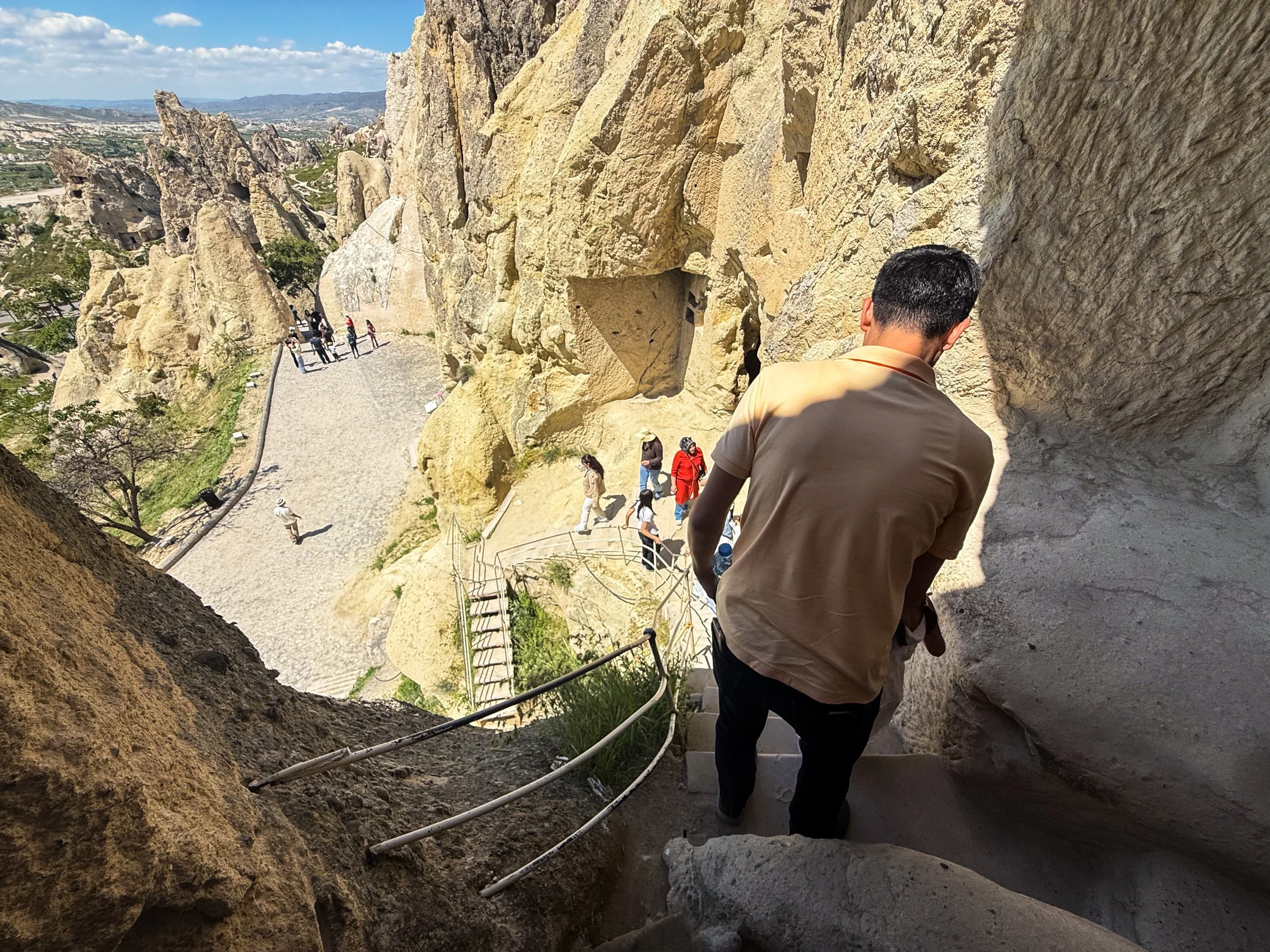
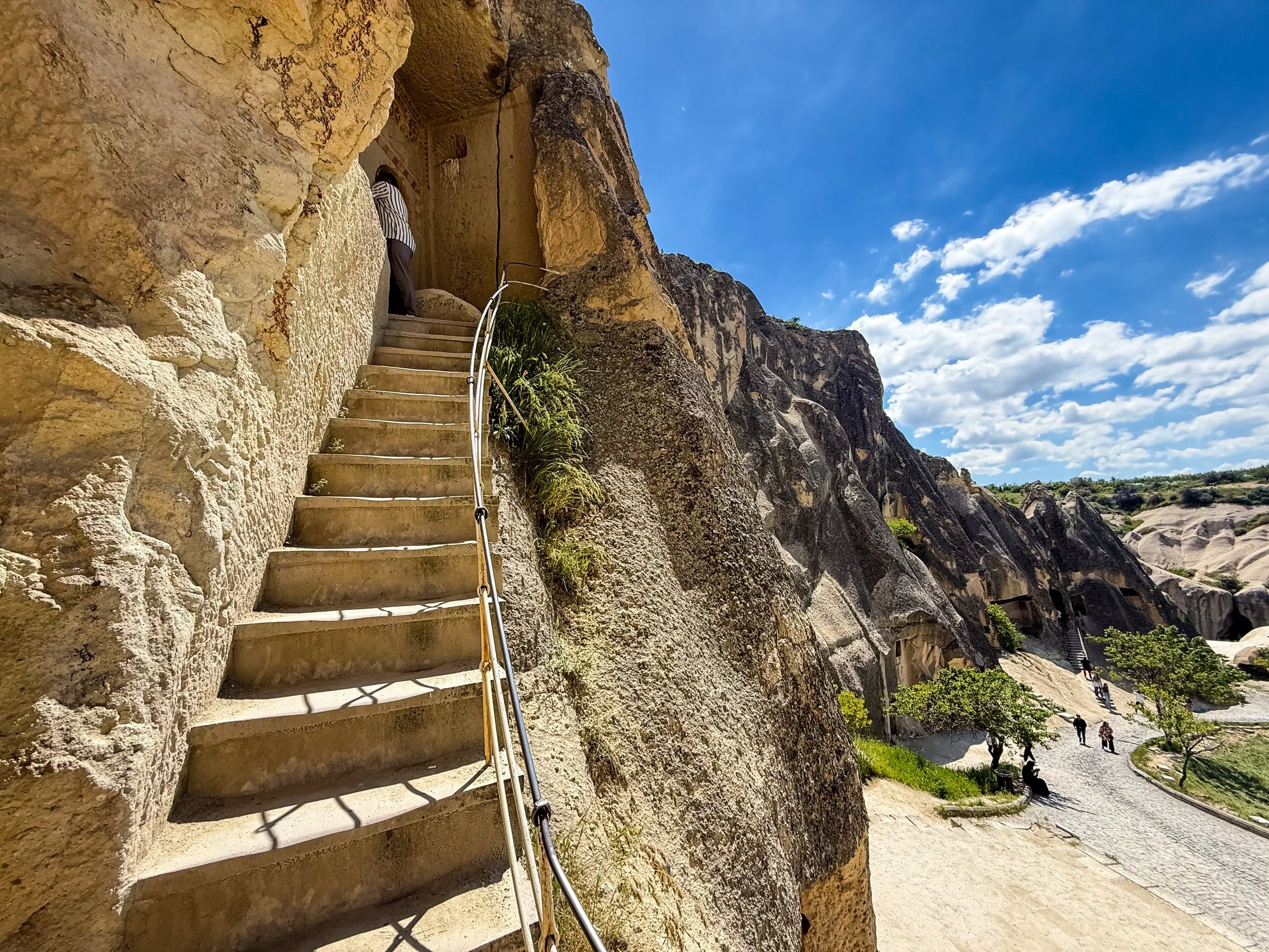
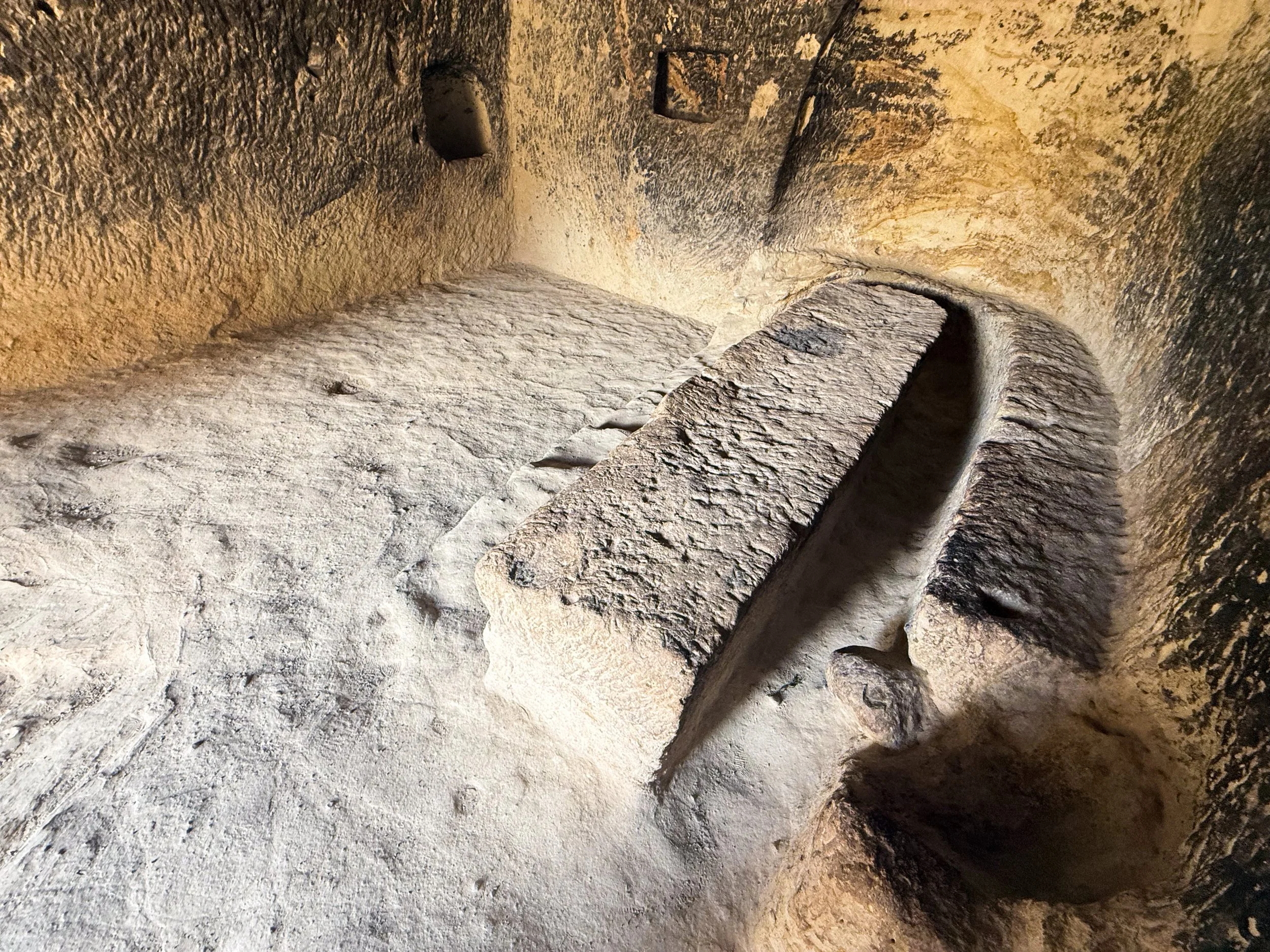
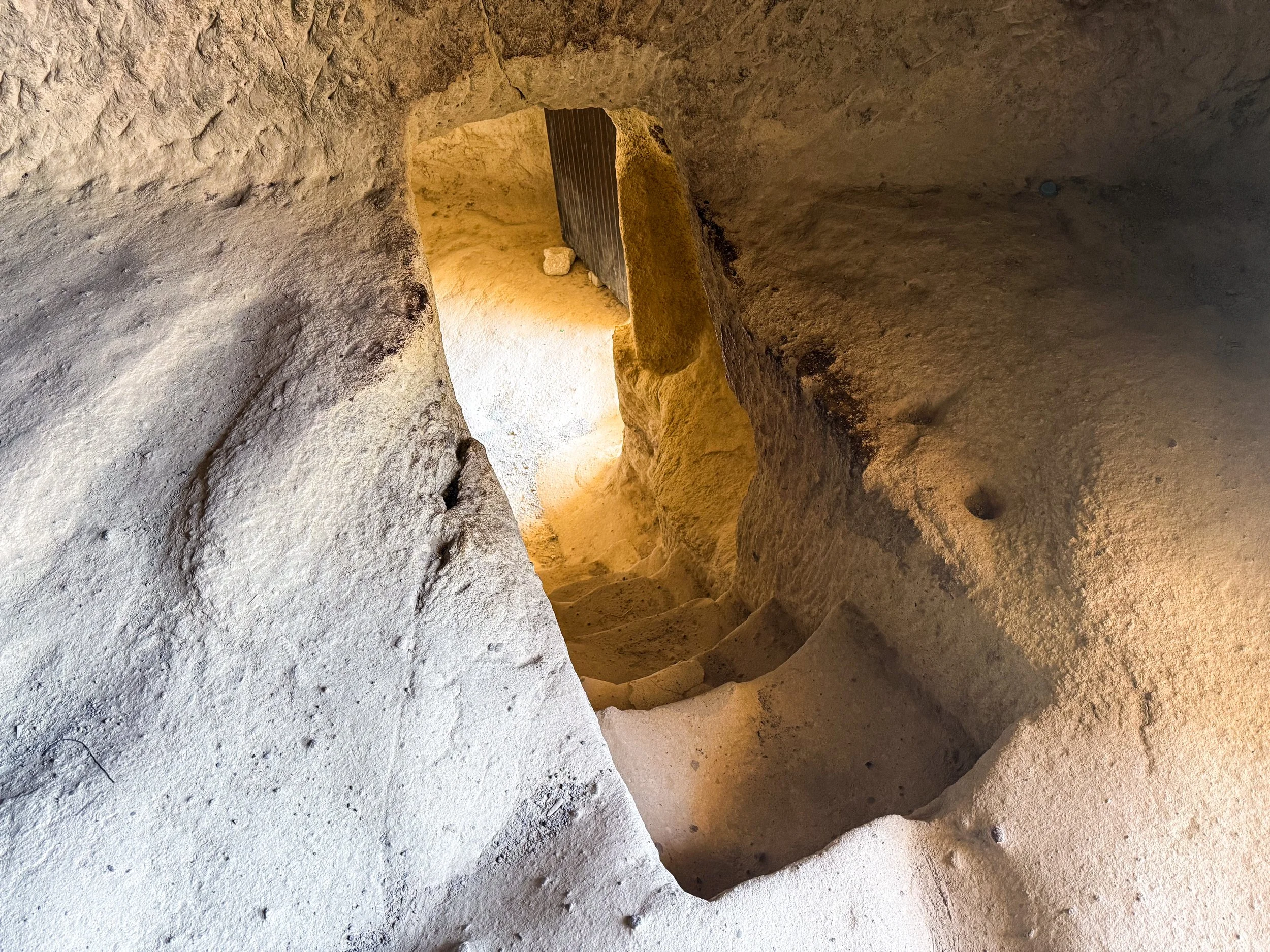
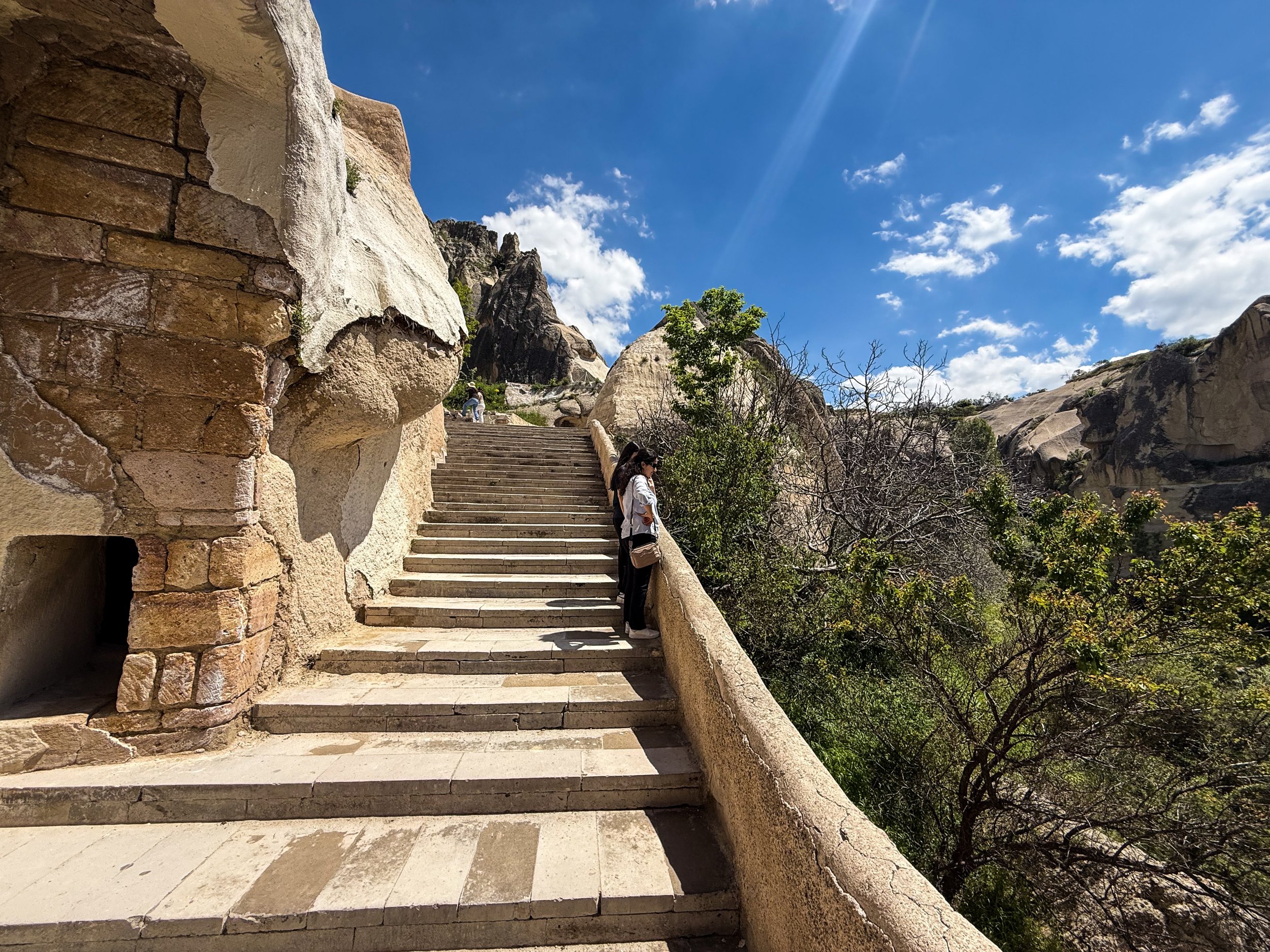
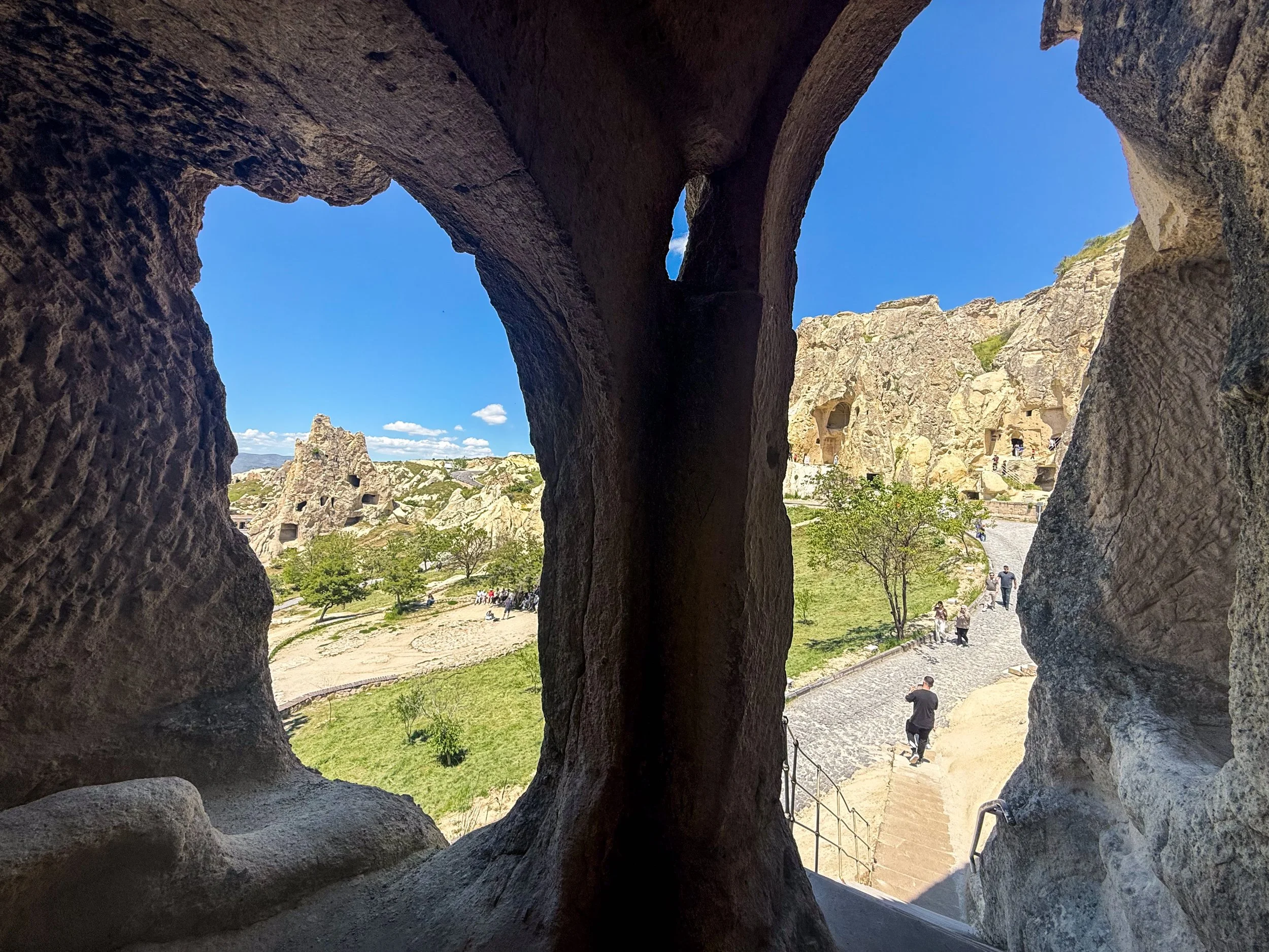
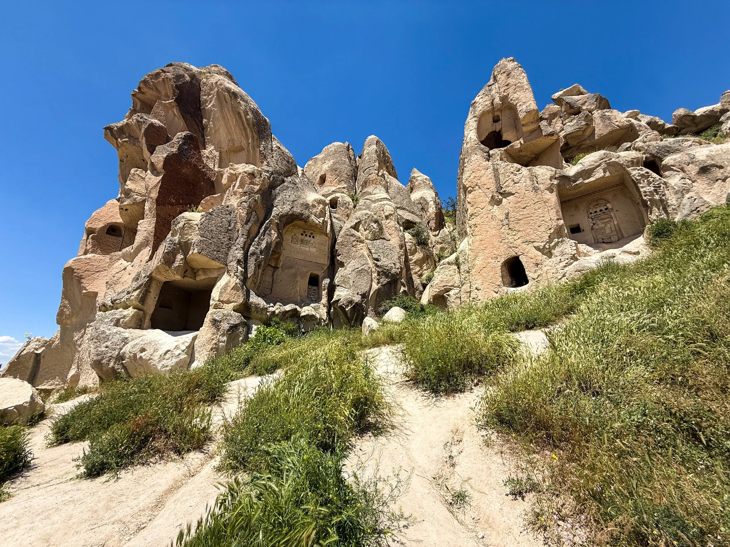
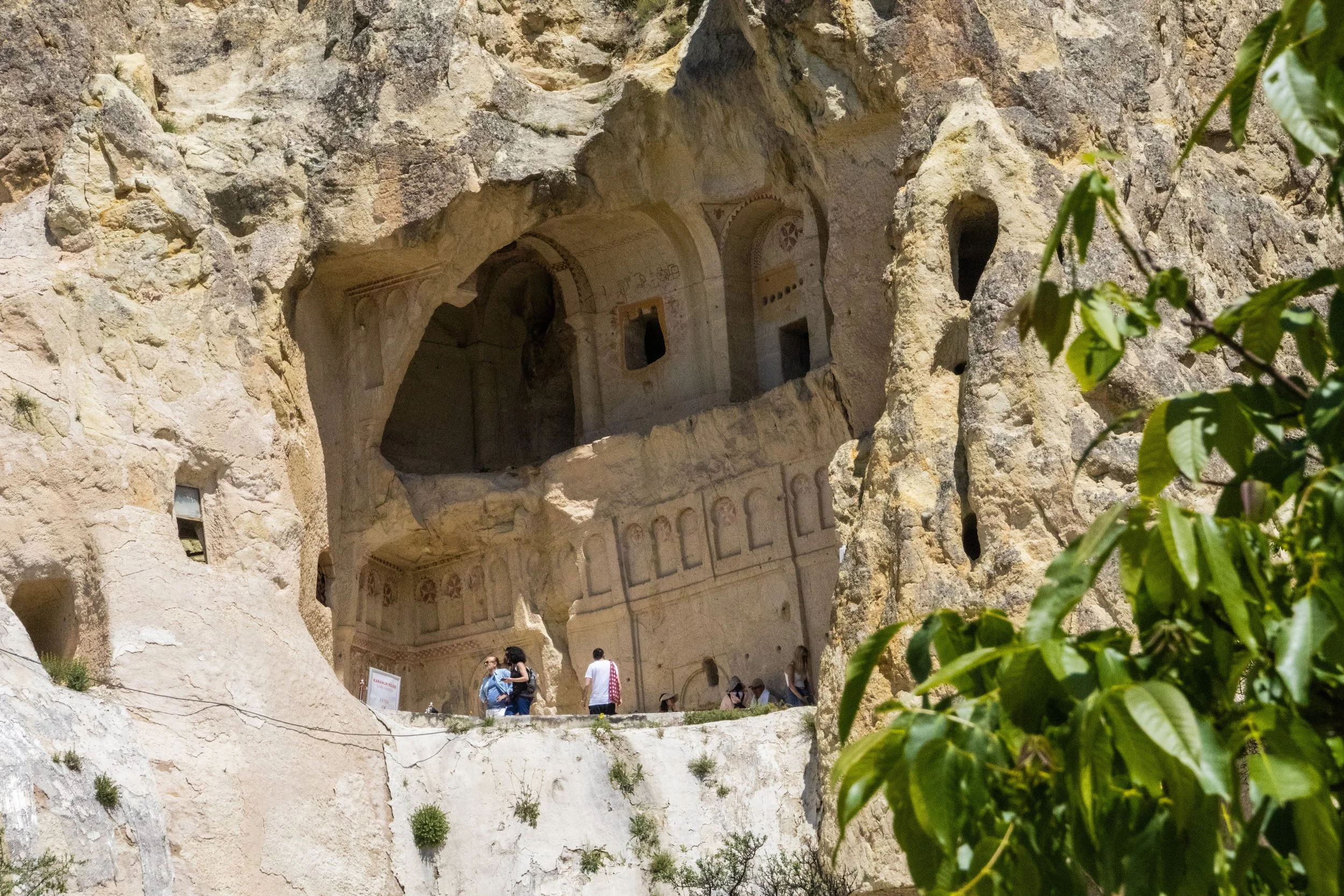
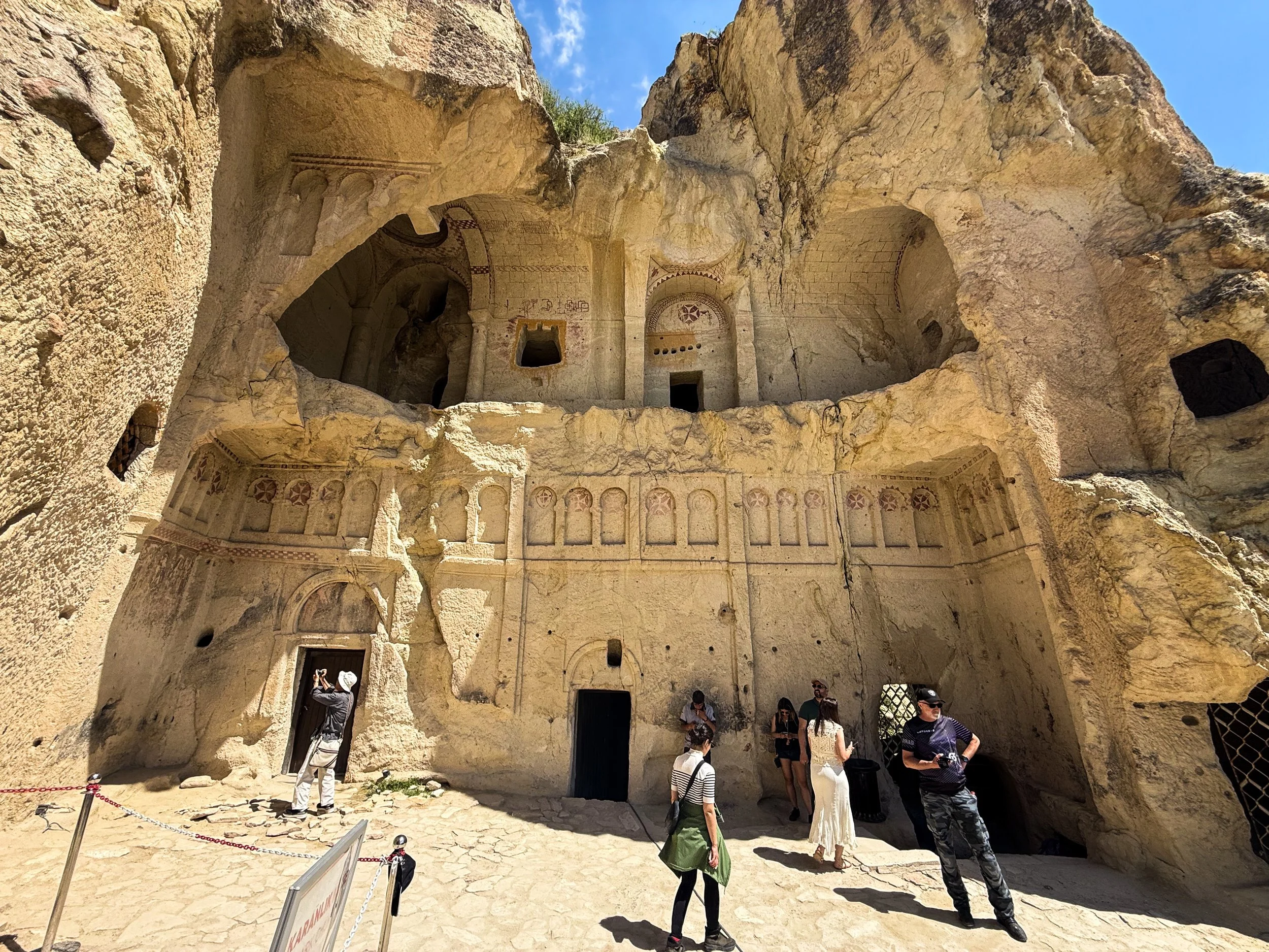
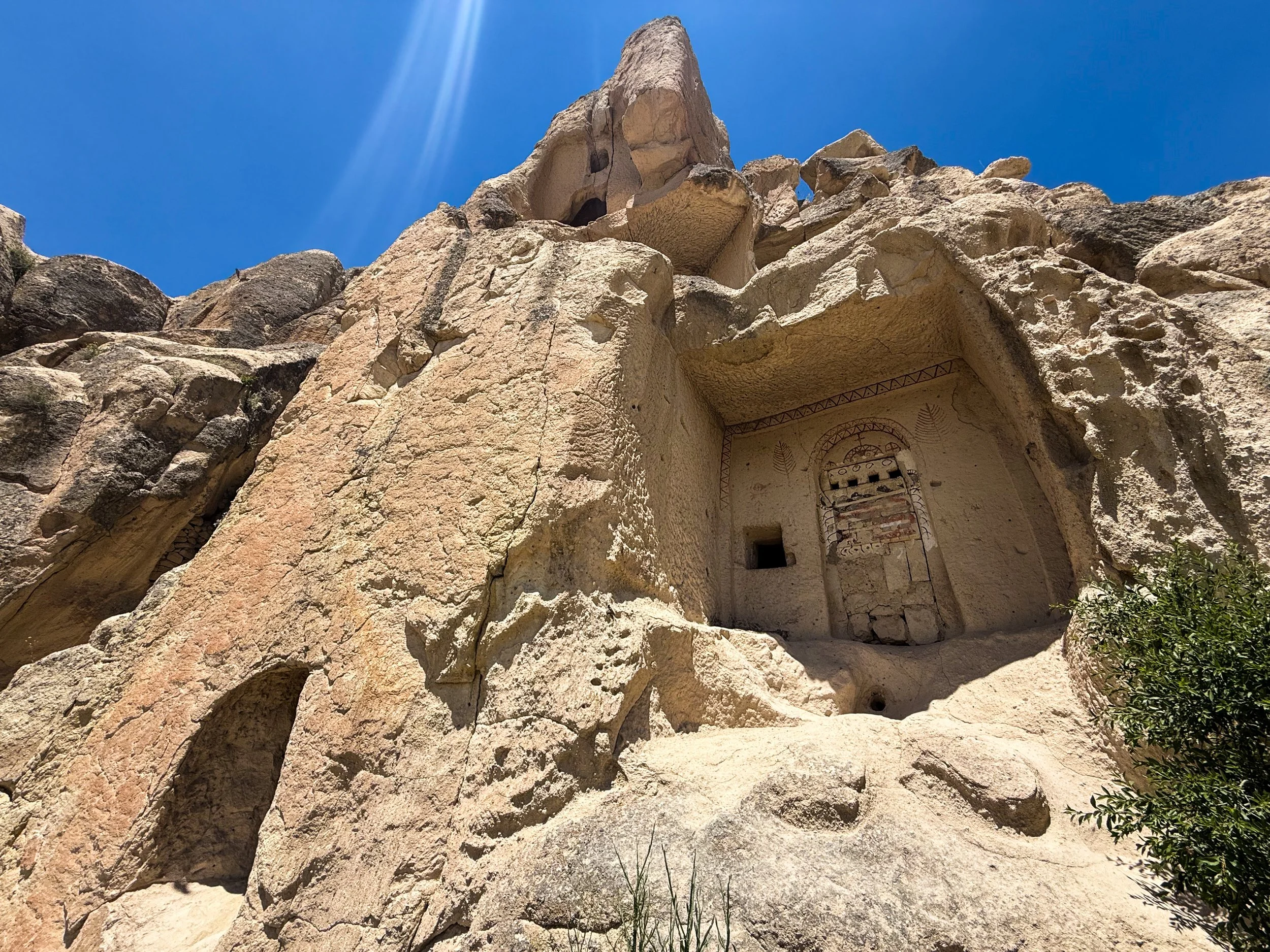
The aforementioned churches here did not come into being until centuries after the days of the Cappadocian Fathers. By this point, the Anatolian portion of the Roman Empire had evolved into the Byzantine Empire, and Christianity was not merely legal, but the dominant religion of the time. I think this is where my understanding of the history and evolution of Christianity is the most sparse. Having grown up in a Christian household, I knew all about what was happening up to the end of the New Testament. After that, aside from a few bullet points on the official Roman adoption of Christianity a couple of centuries later (and a morbid fascination with how all of the surviving apostles went on to die gruesome deaths in far-flung places around the world), I was a bit fuzzy on how it made the leap to being the dominant religion in Europe. These cave churches seemed to help fill in the blank spots in my timeline, as they almost felt like “rough drafts” of the grandiose cathedrals that would eventually be built all across Europe. I know the actual chronology isn’t quite that simple—indeed, there were already some incredible cathedrals being built in Europe before the 900s—but this gave me a sense of what the formative period of Christianity looked like.
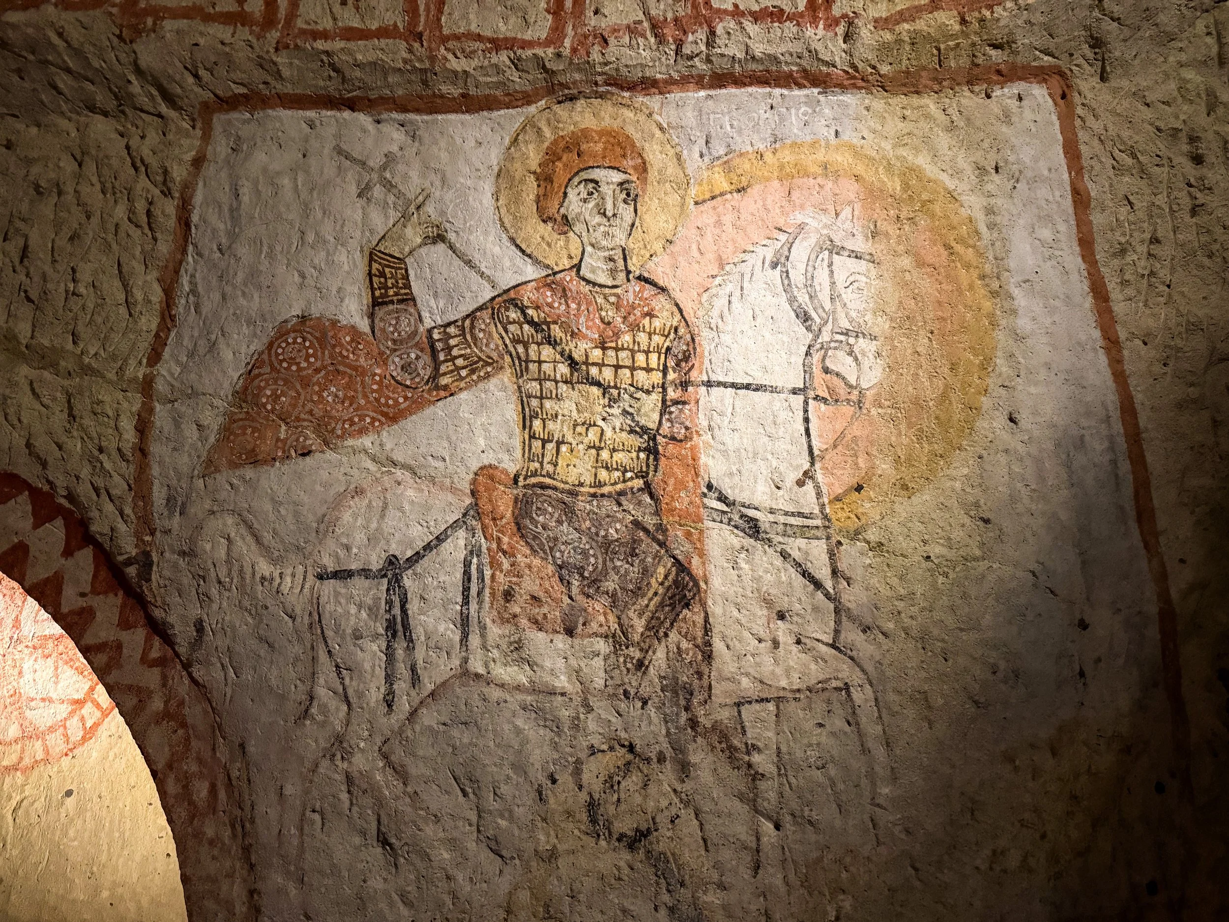
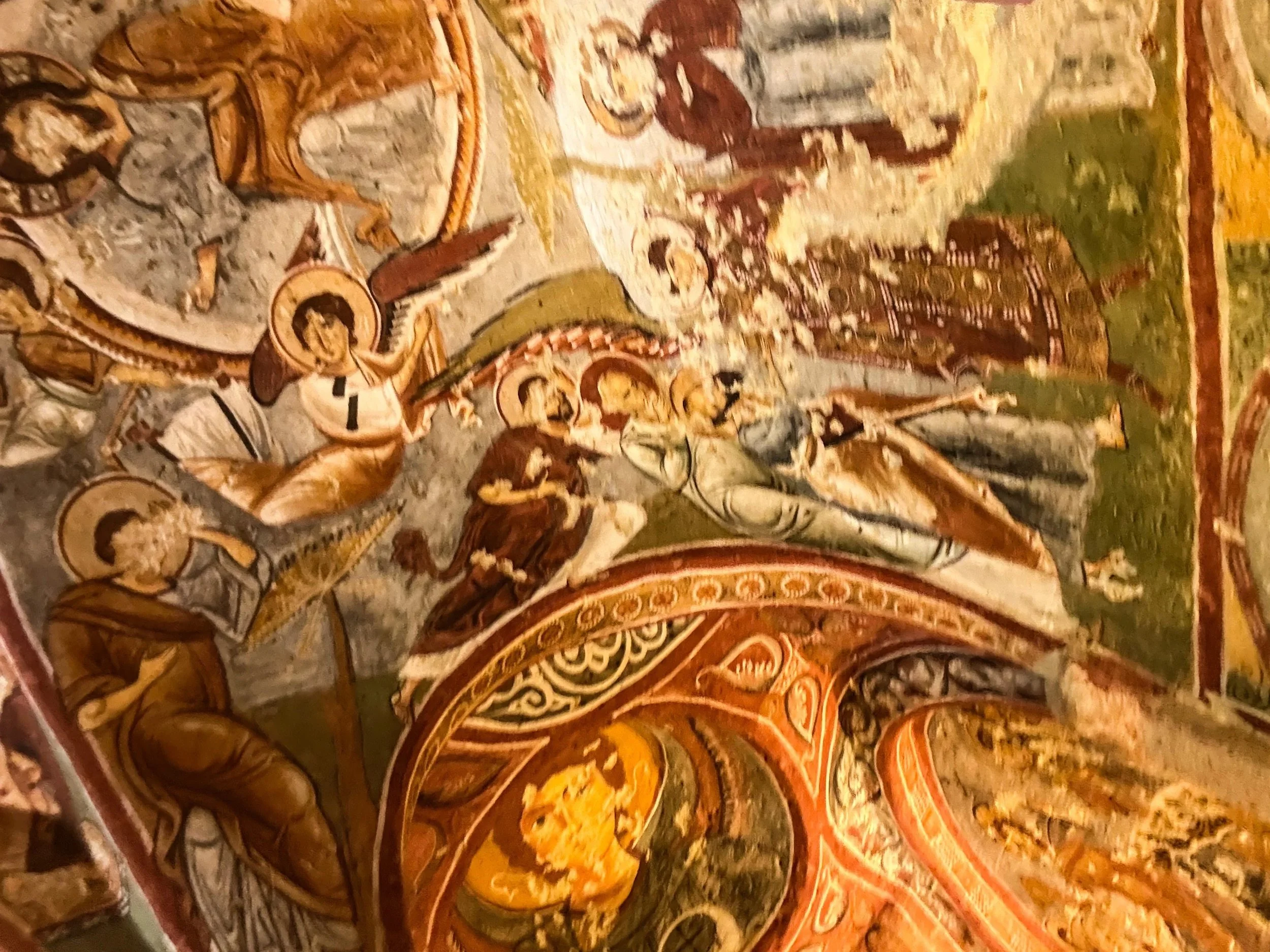
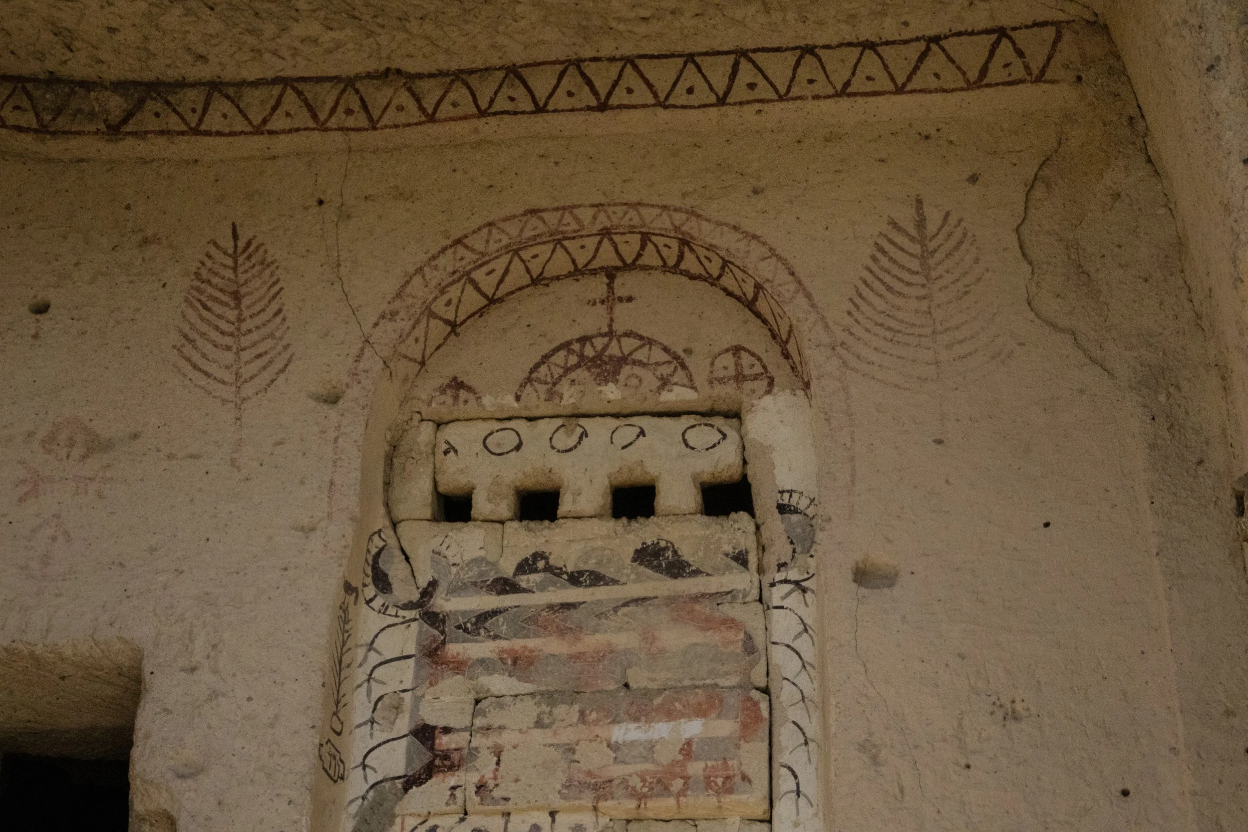
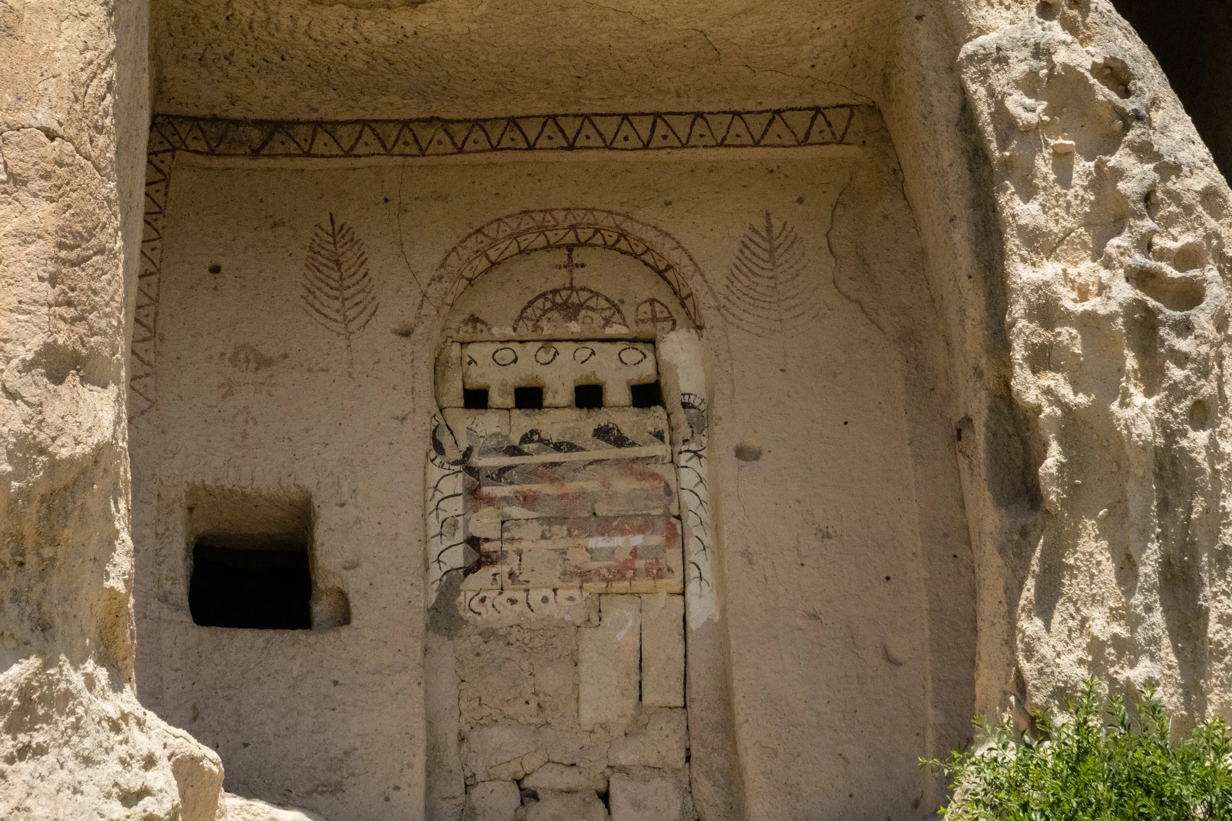
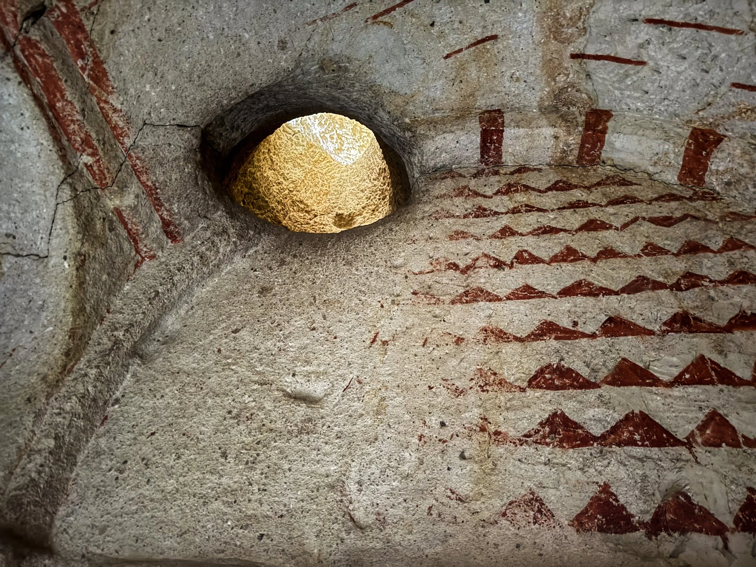
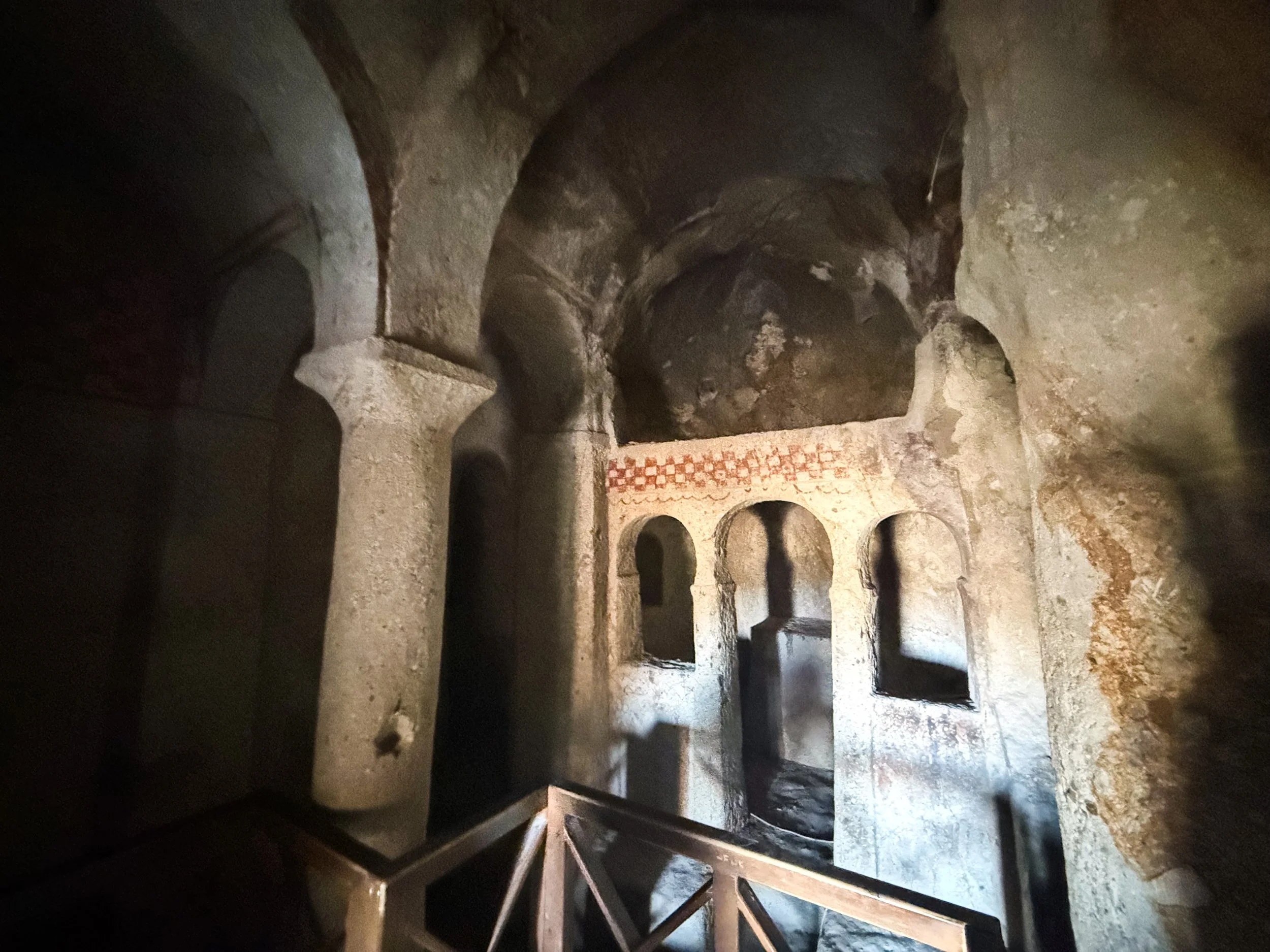
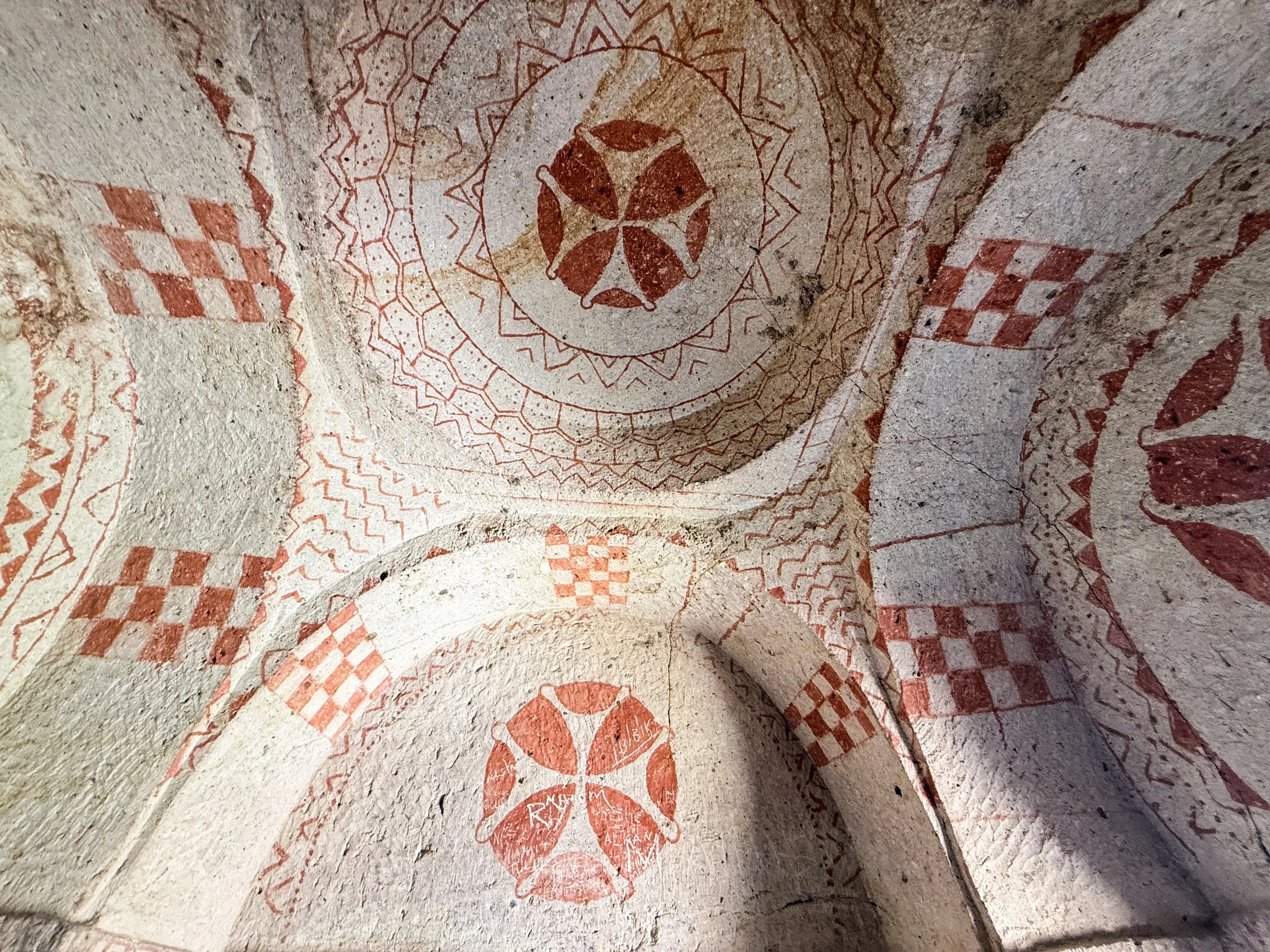
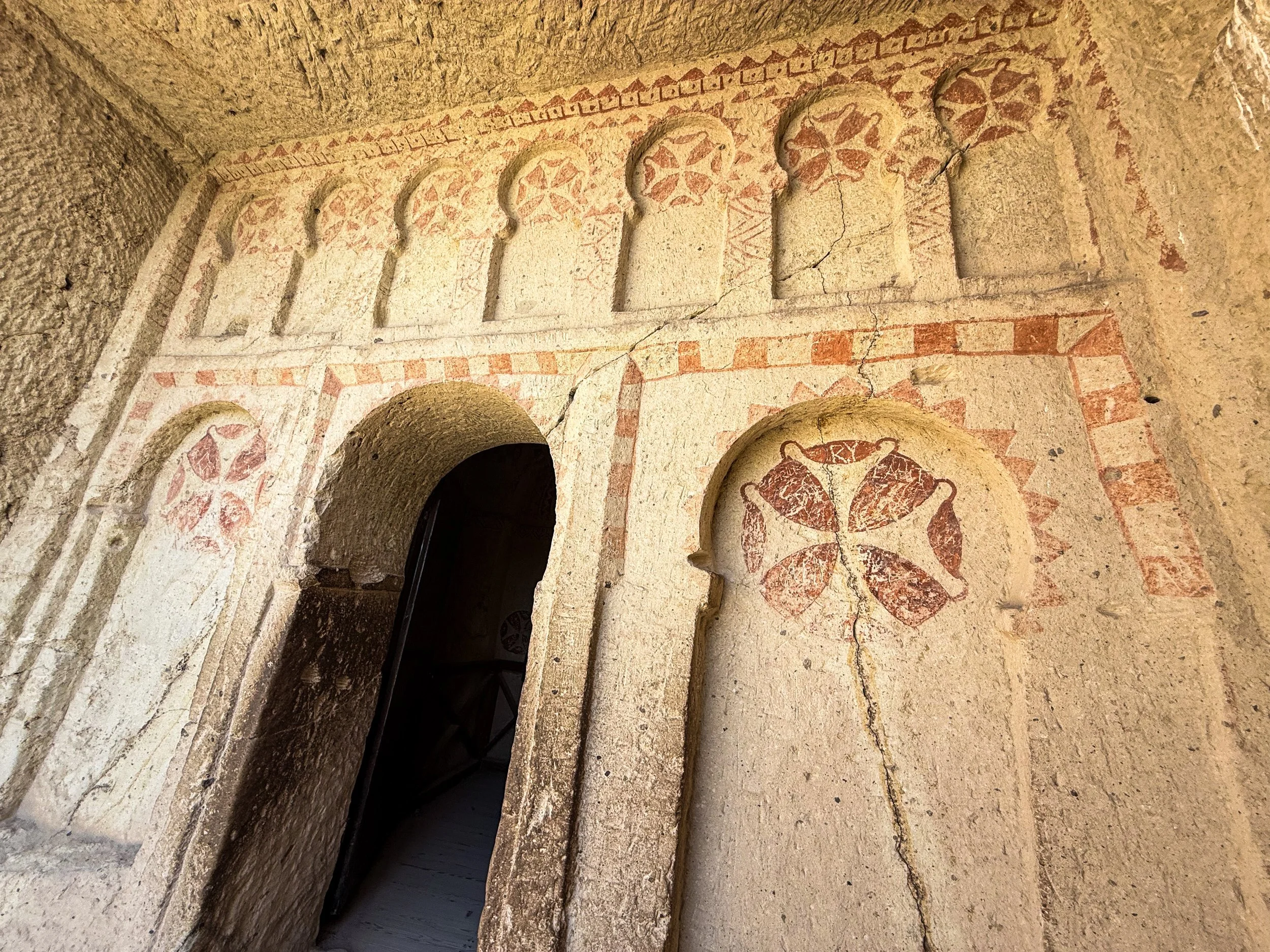
There are 10 churches here in total, all carved into the soft volcanic rock of the fairy chimneys, and decorated with “caveman frescoes”. Indeed, the ceilings of these small stone chambers are decorated in the same style as the cathedrals of Europe, with elaborate murals (frescoes) on the ceiling. But in these caves, it’s all comparatively crude, like a rough draft of the fine arts that can be found as one travels Westward. But that is what made it so fascinating! There were some restrictions on photography inside these churches, but I did my best for you…
Sunset & Dusk in Göreme
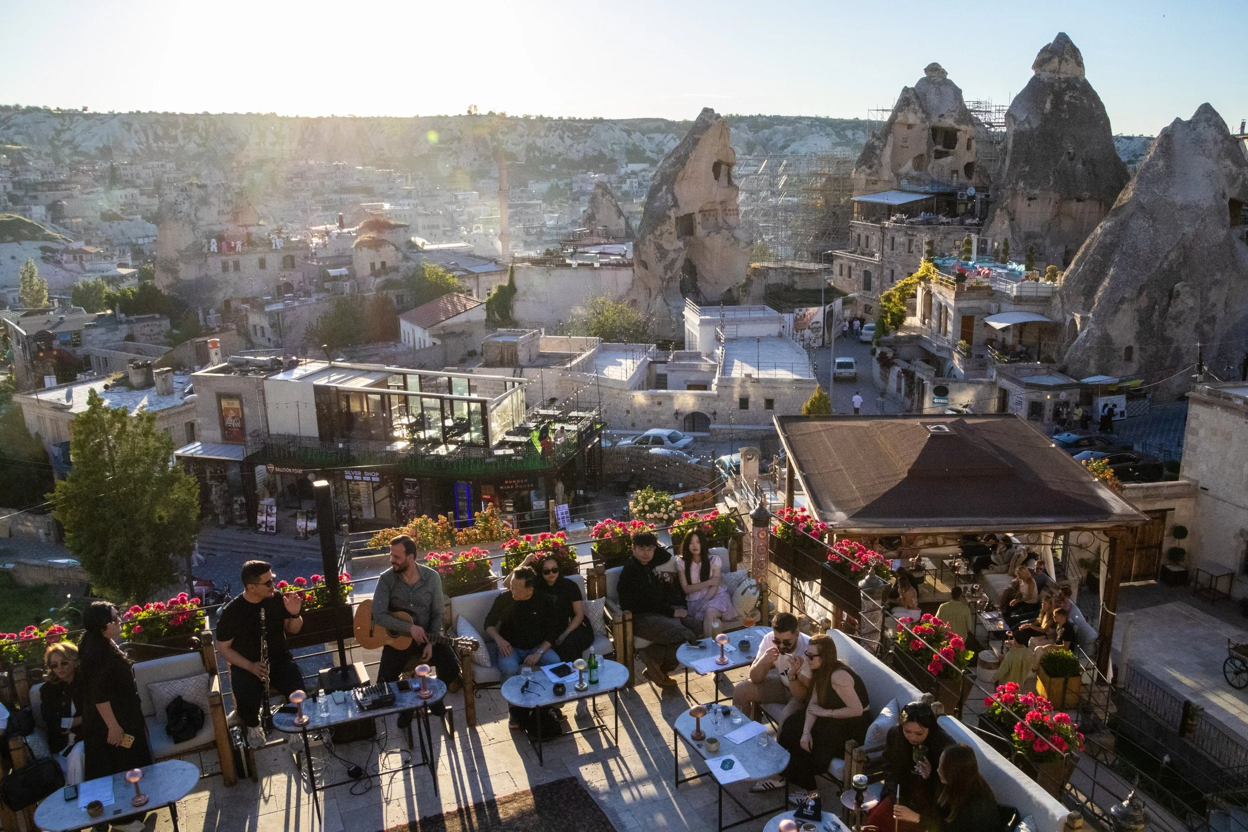
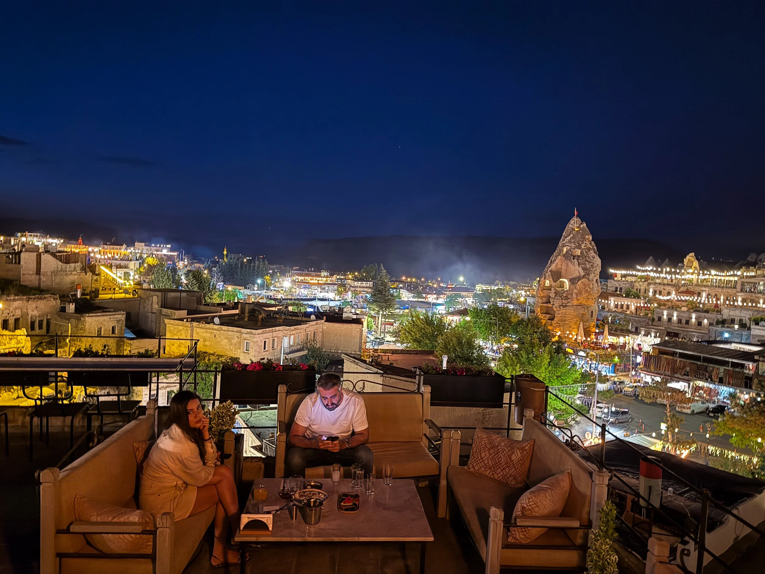
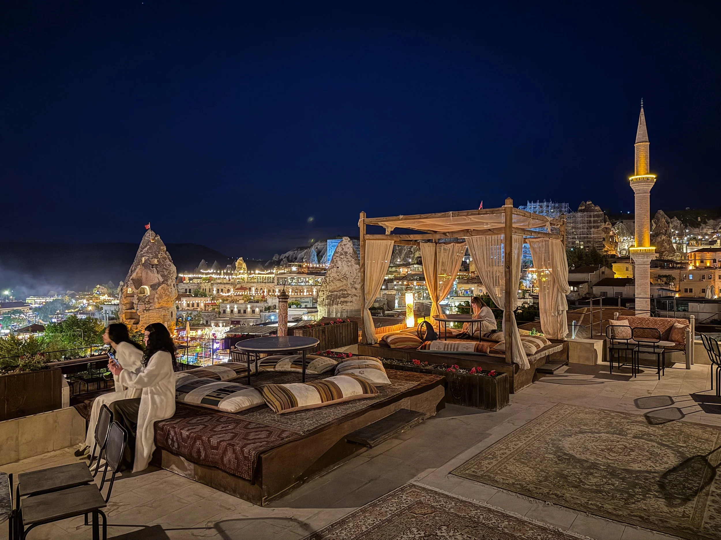
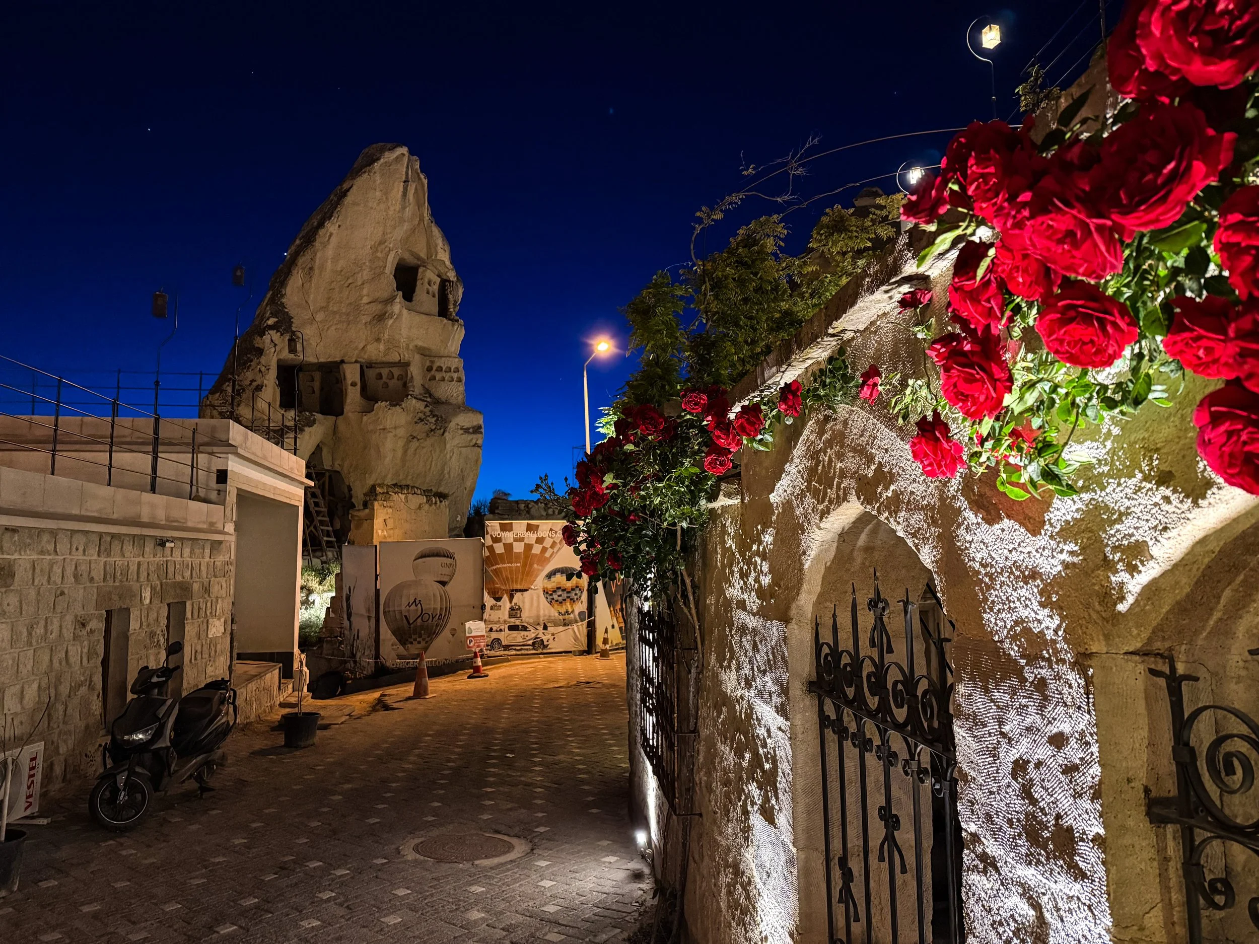
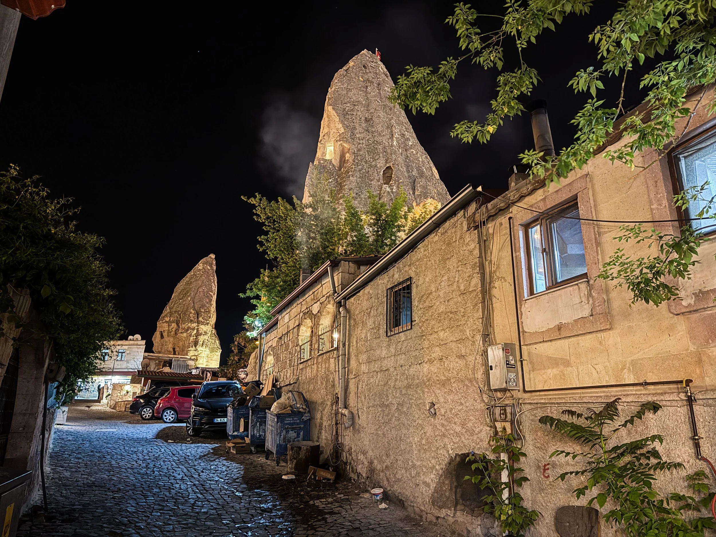
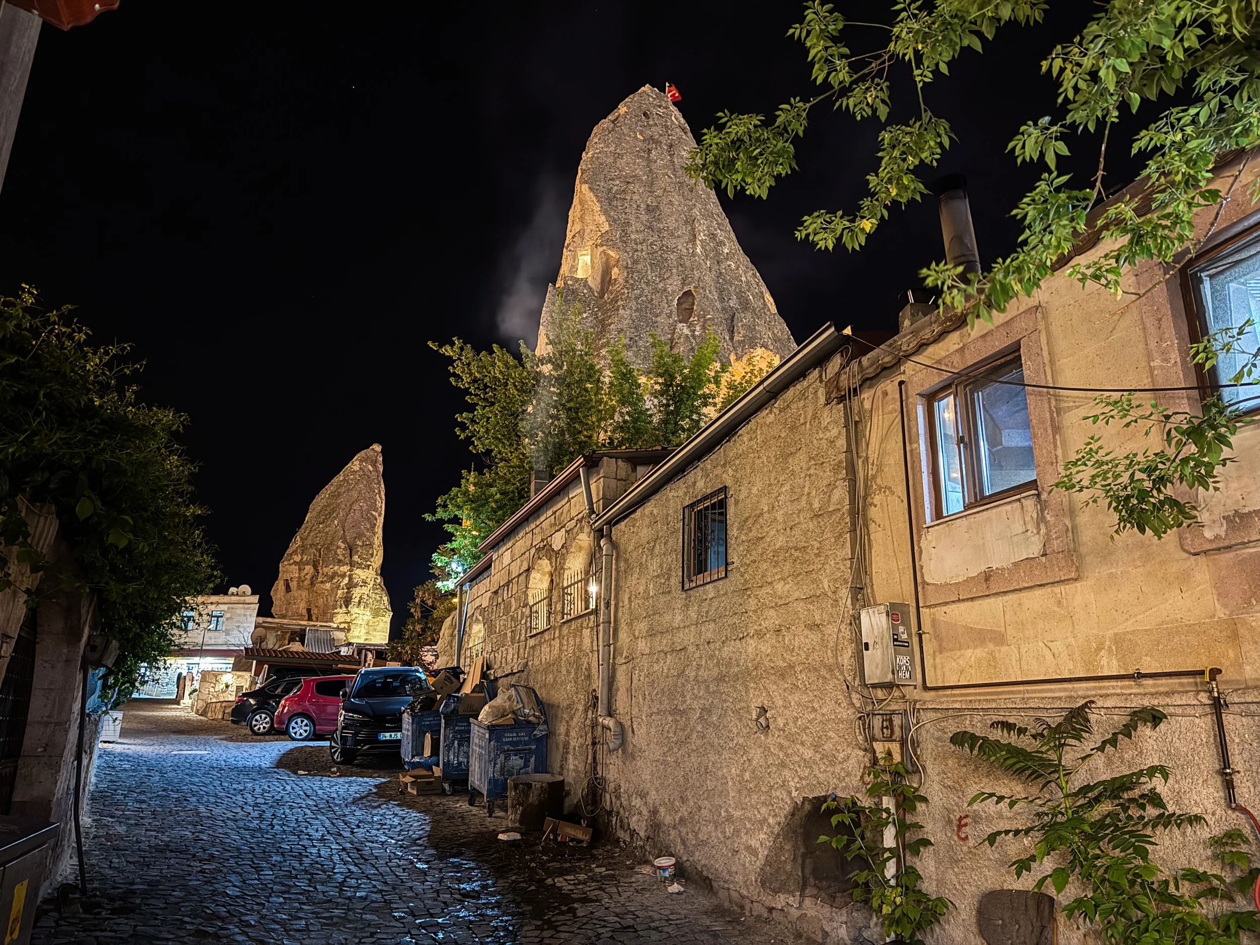
Now, let’s return to Göreme for sunset. Under the punishing midday sun, Cappadocia can be a bit challenging, but during sunrise and sunset… it’s magic. Let me show you a series of photos I took from a rooftop restaurant overlooking Göreme. There are a number of these restaurants scattered around the city, so you shouldn’t be too hard pressed to find one of them. I’m not going to write too much here because it’s something you just have to see. Click on these pictures to view them full-size and see for yourself how this place looks as night falls…
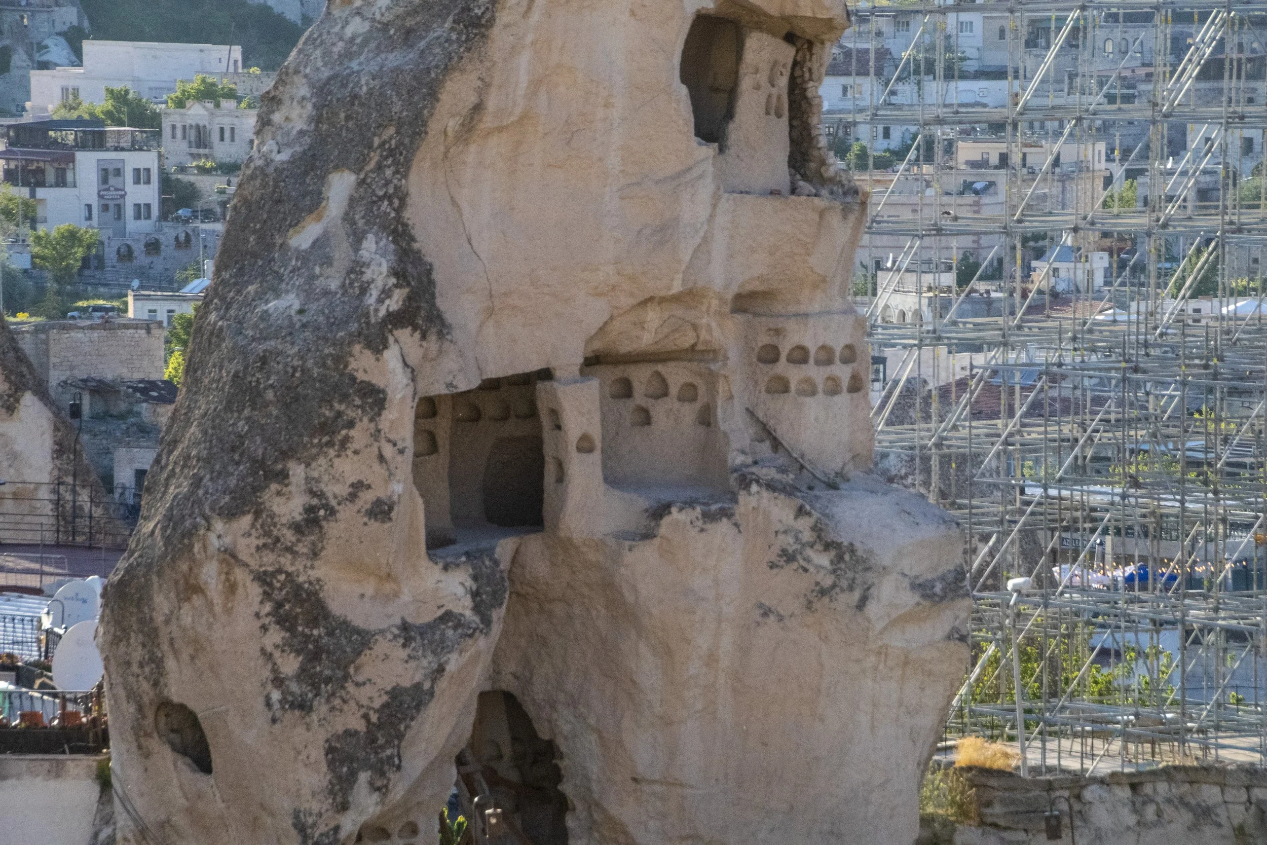
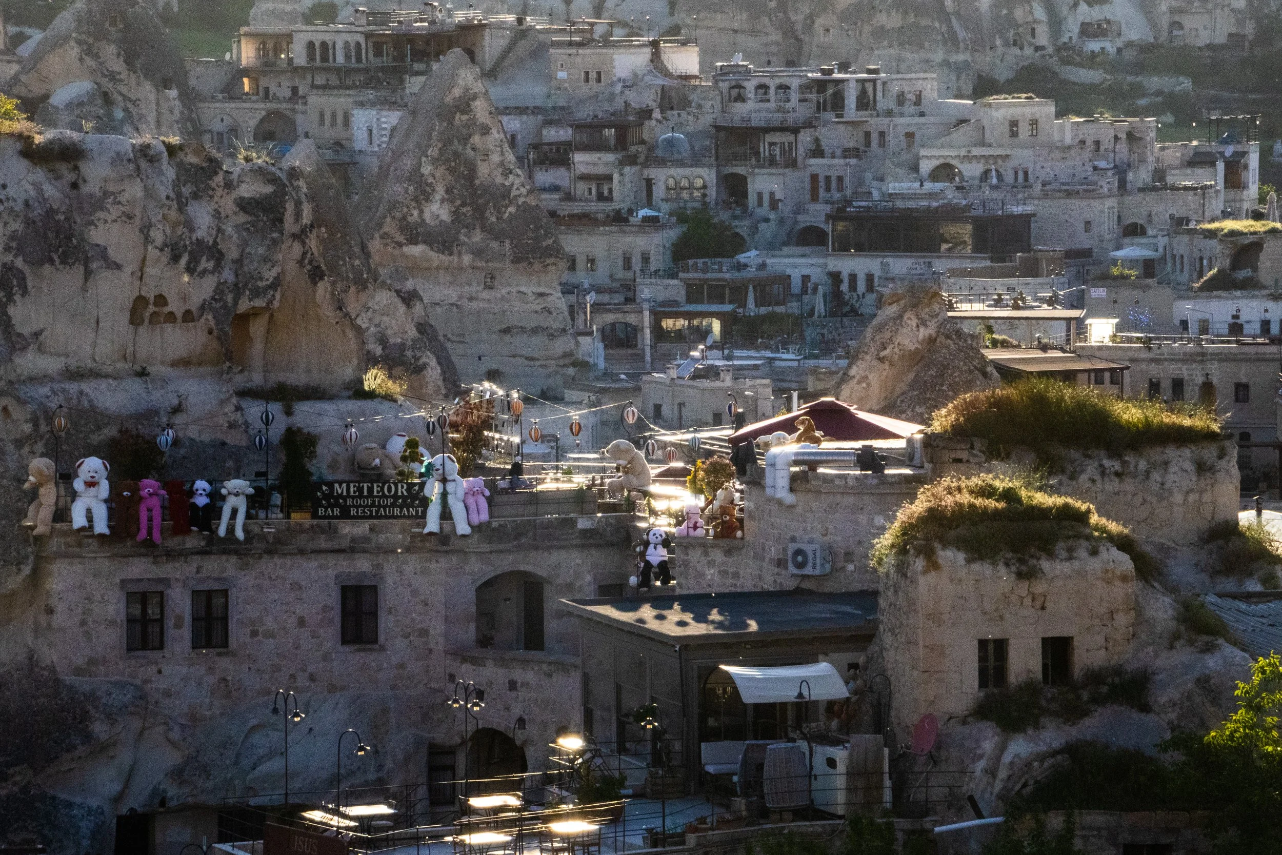
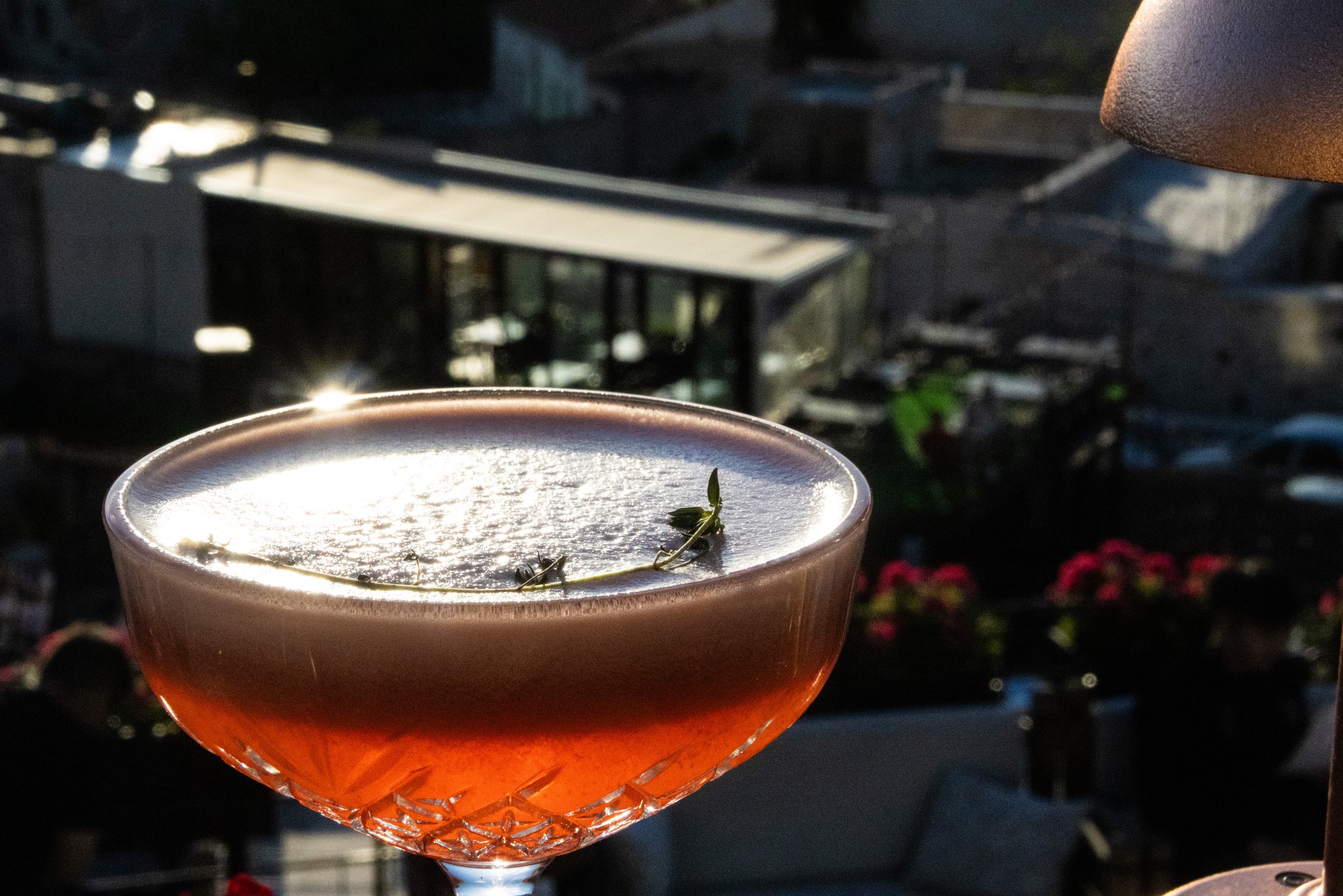
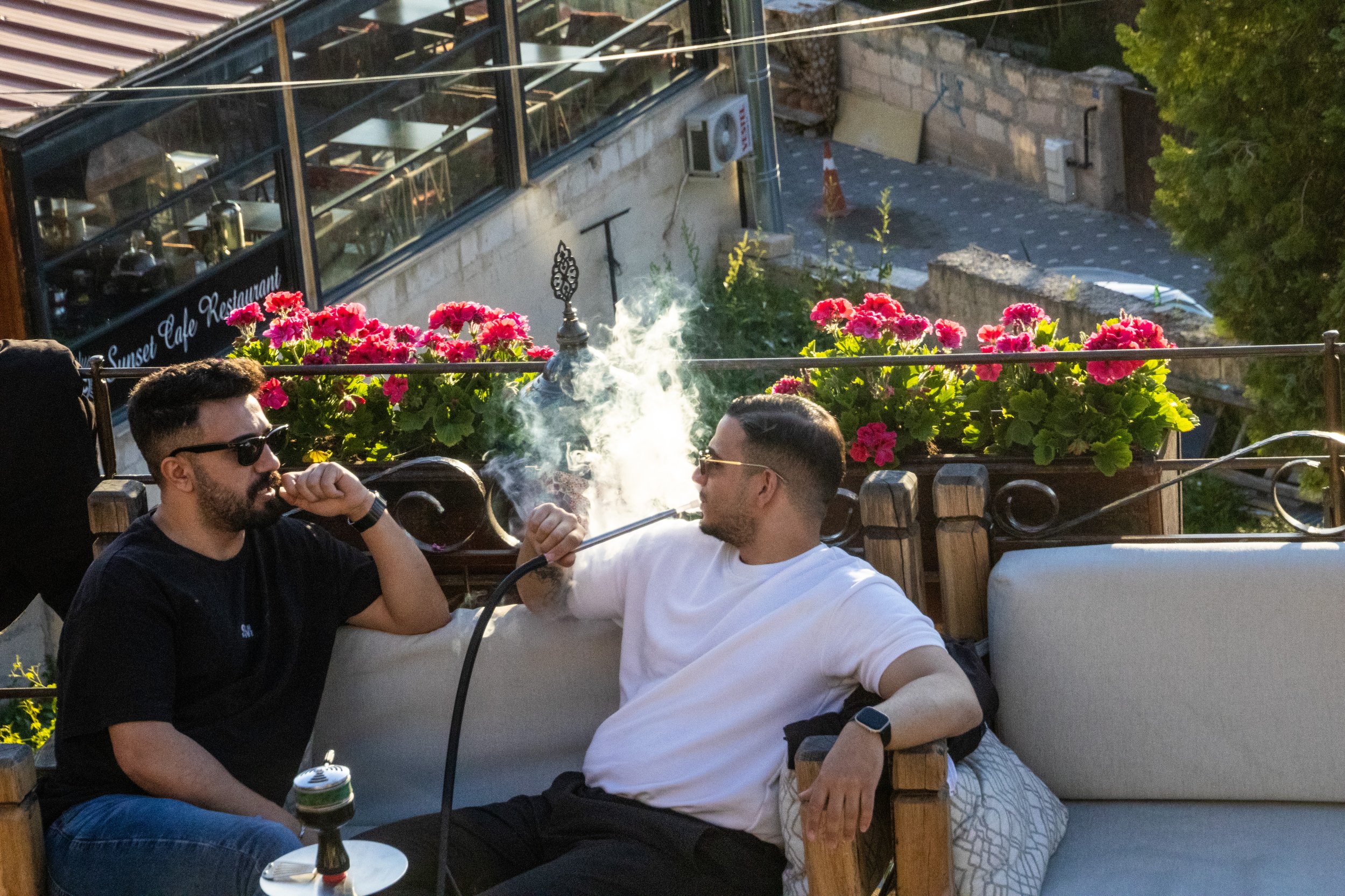
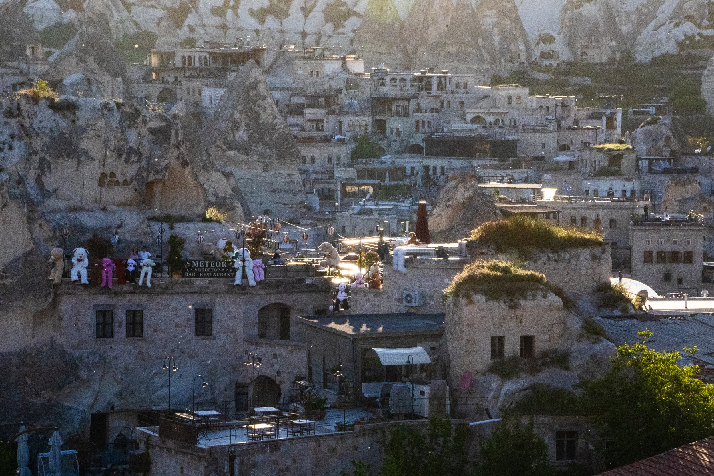
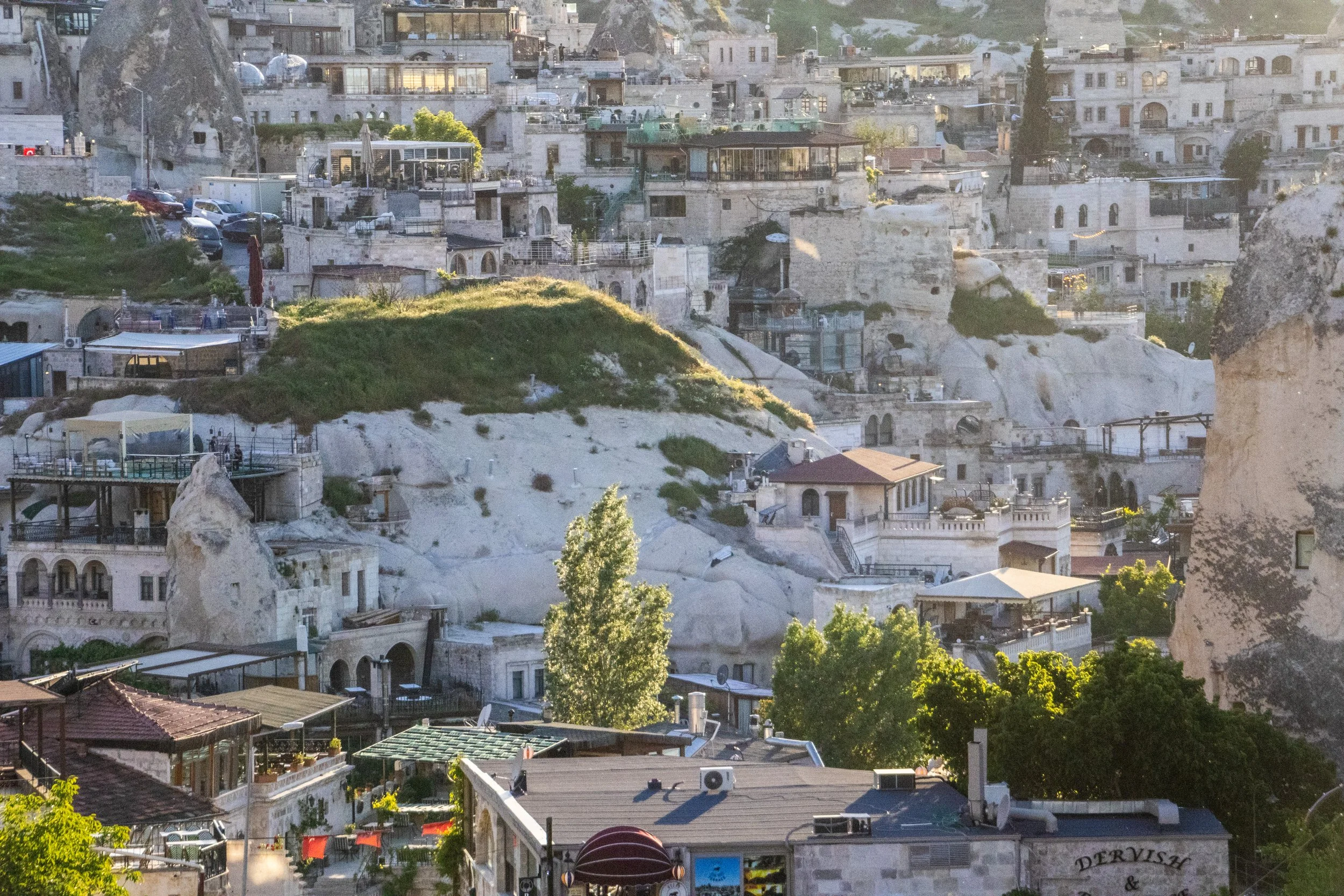
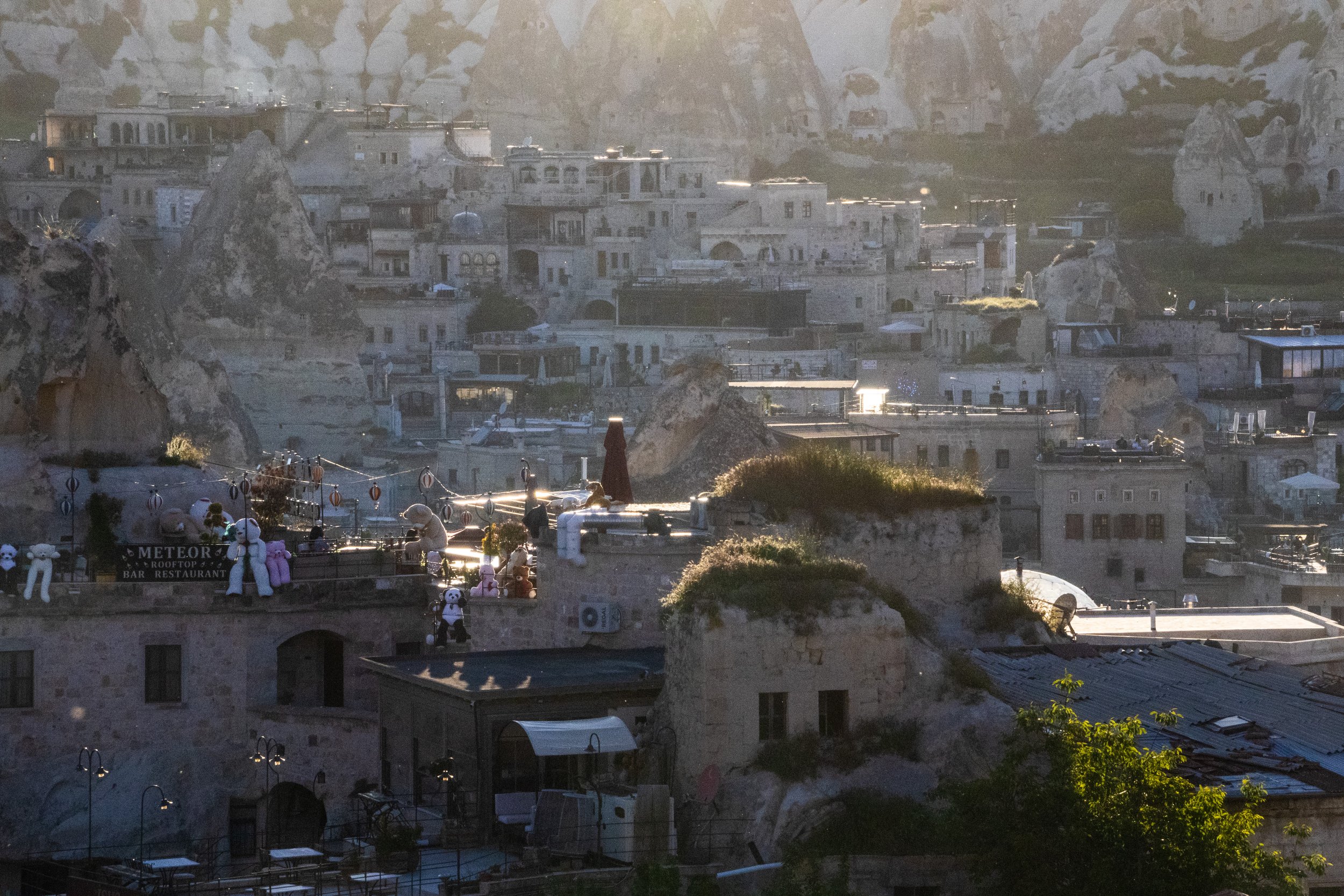
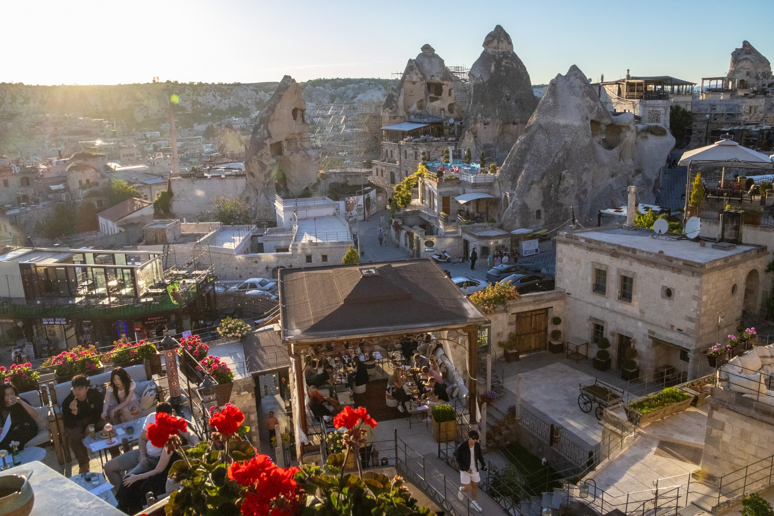
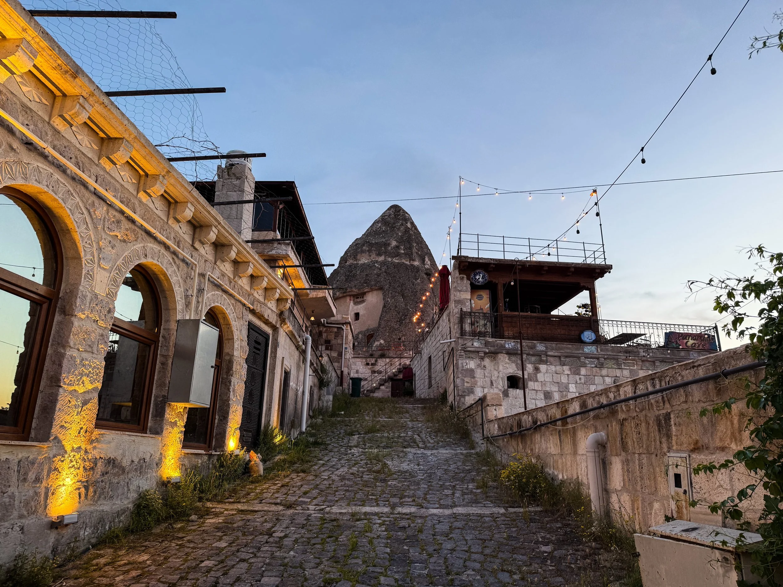
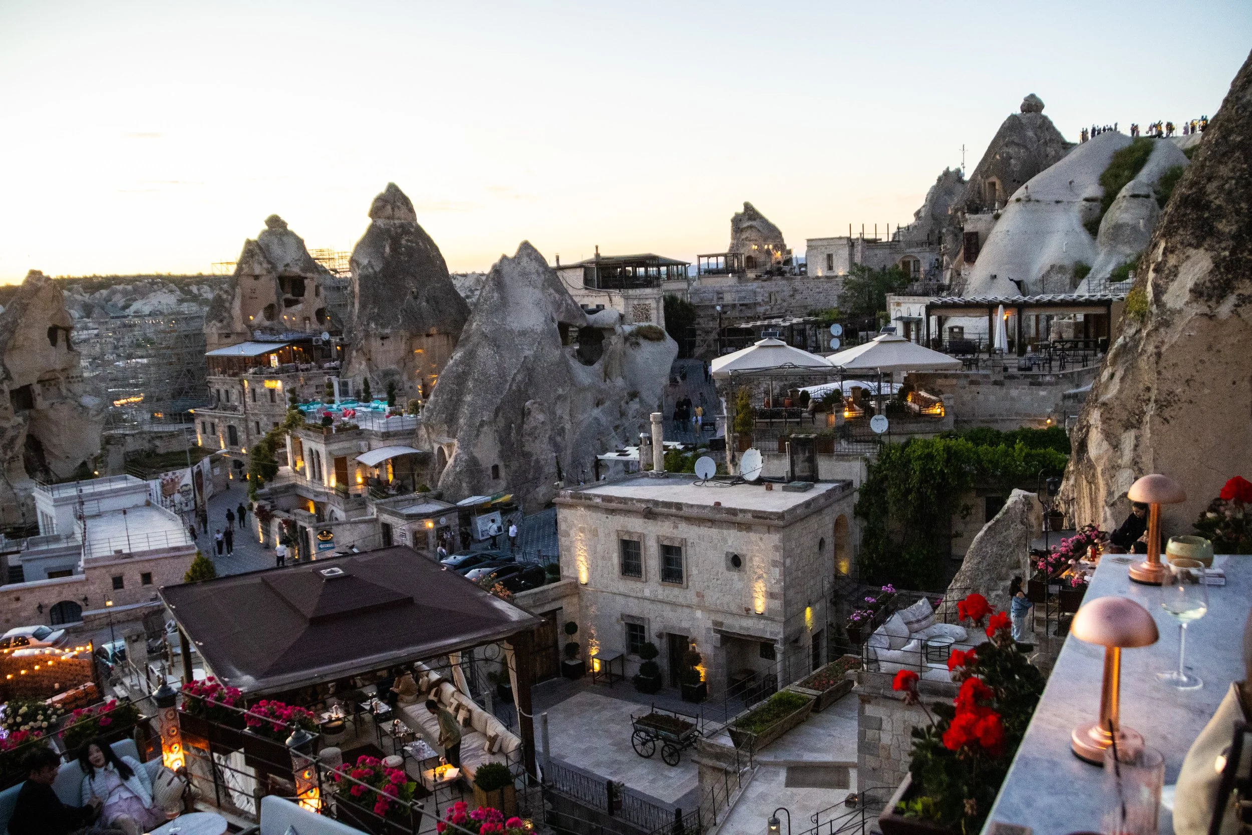
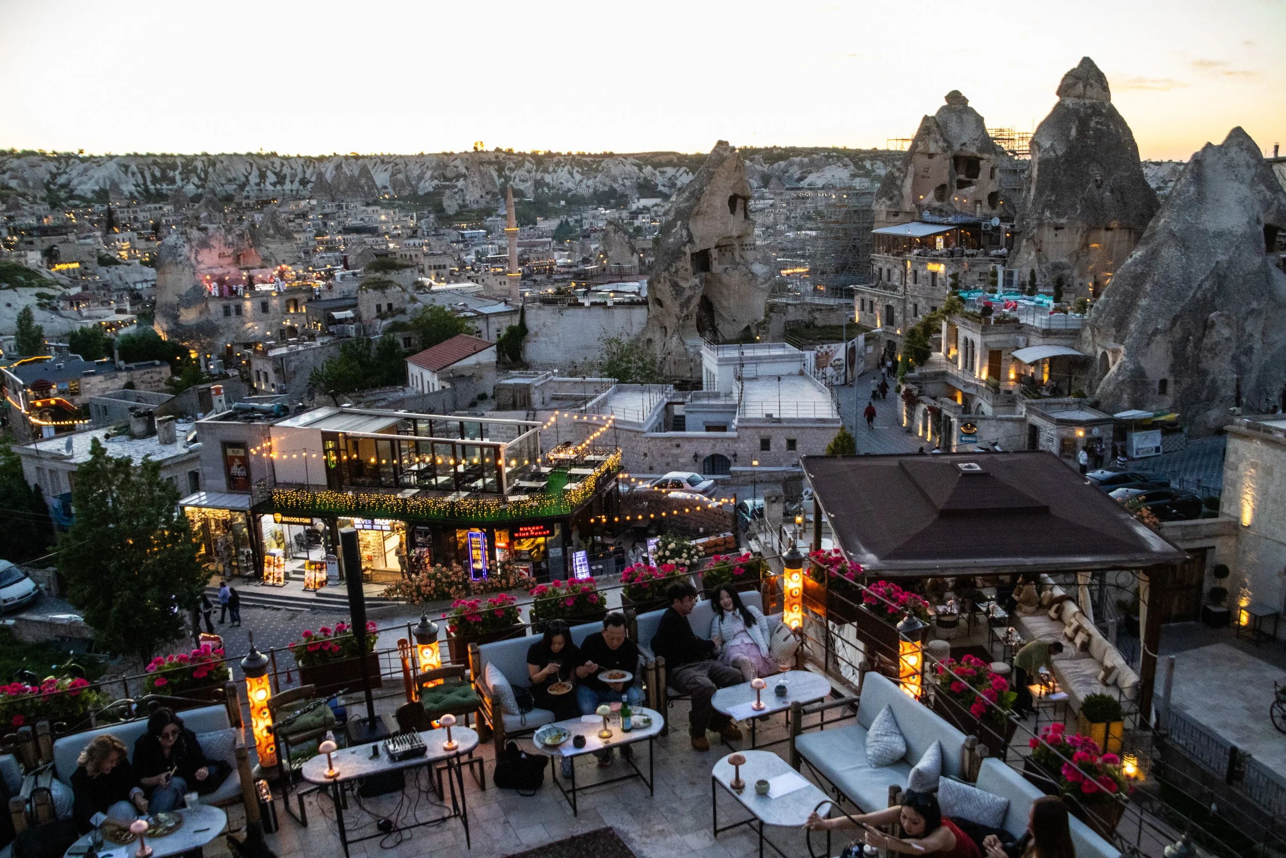
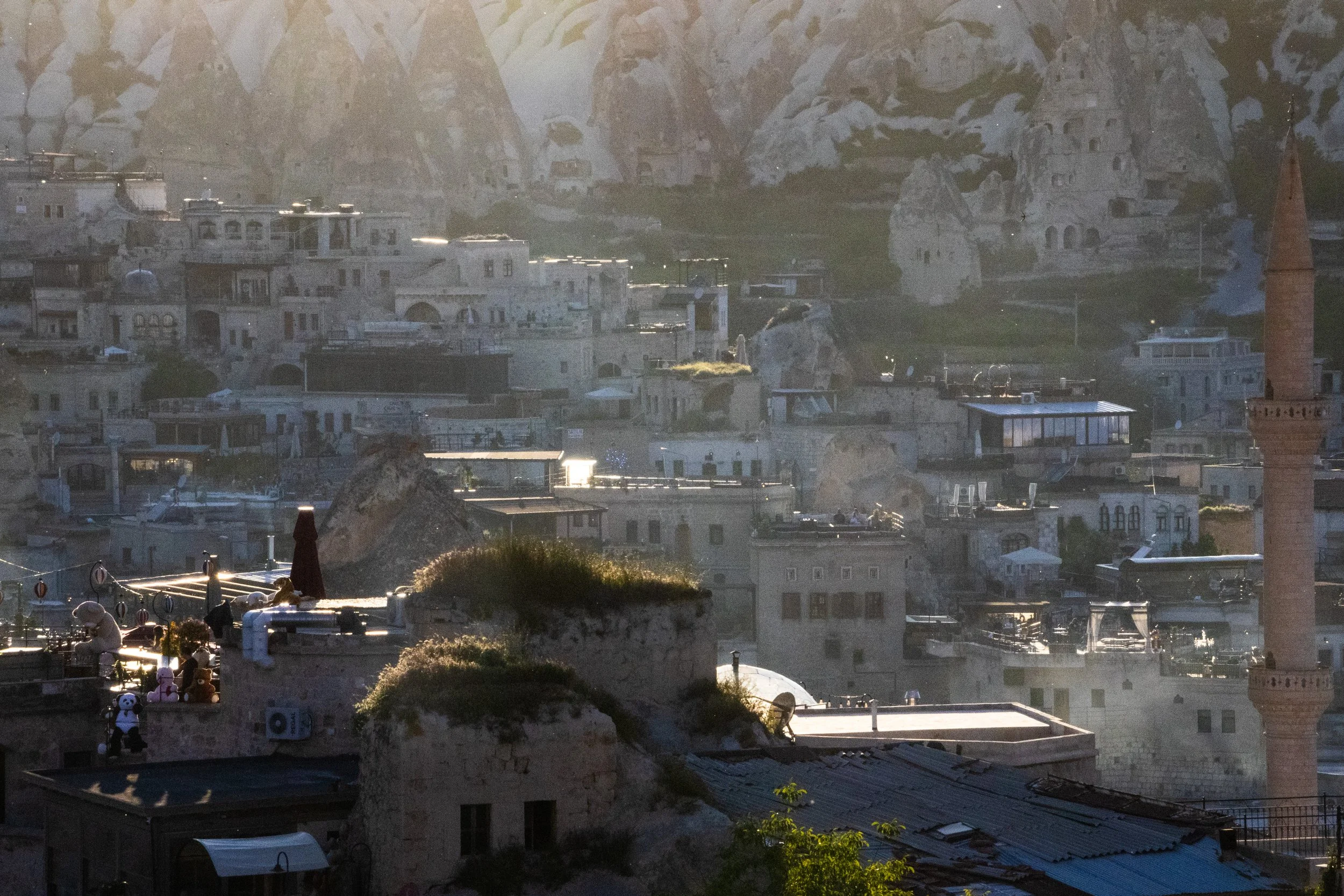
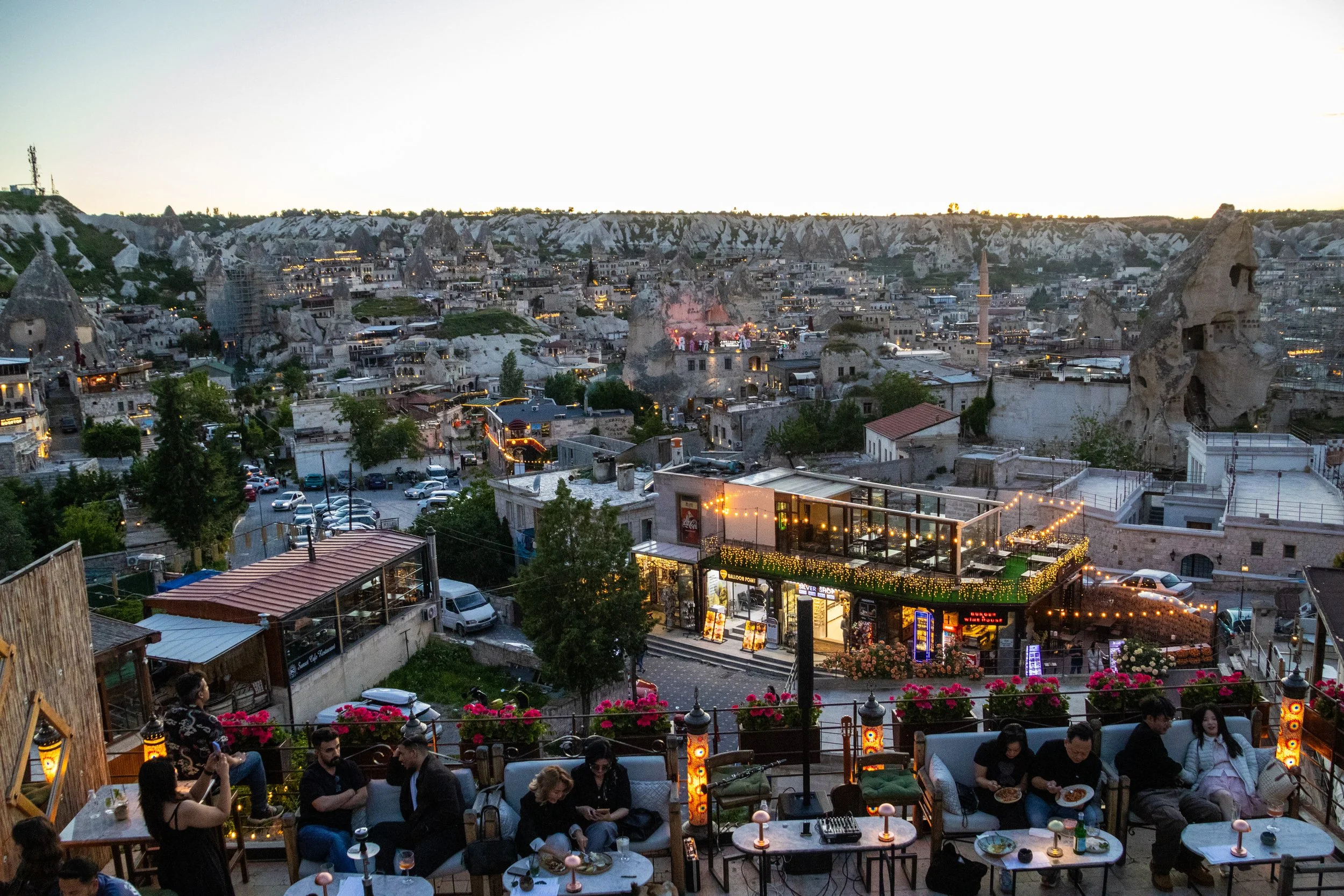
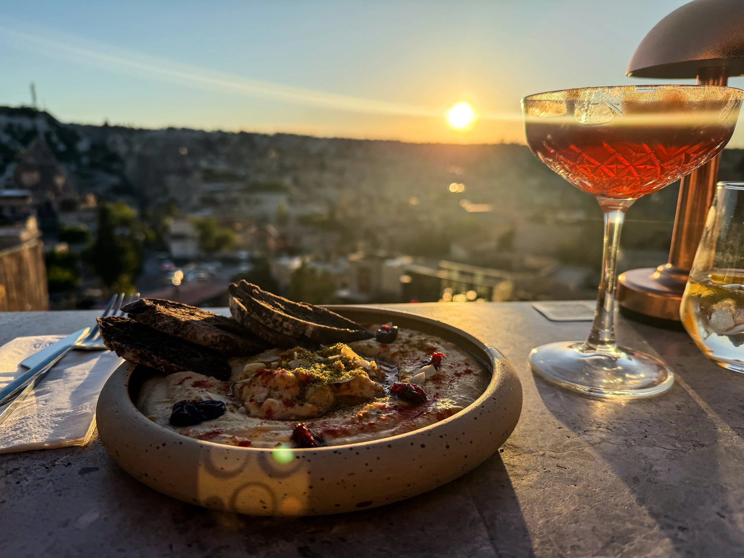
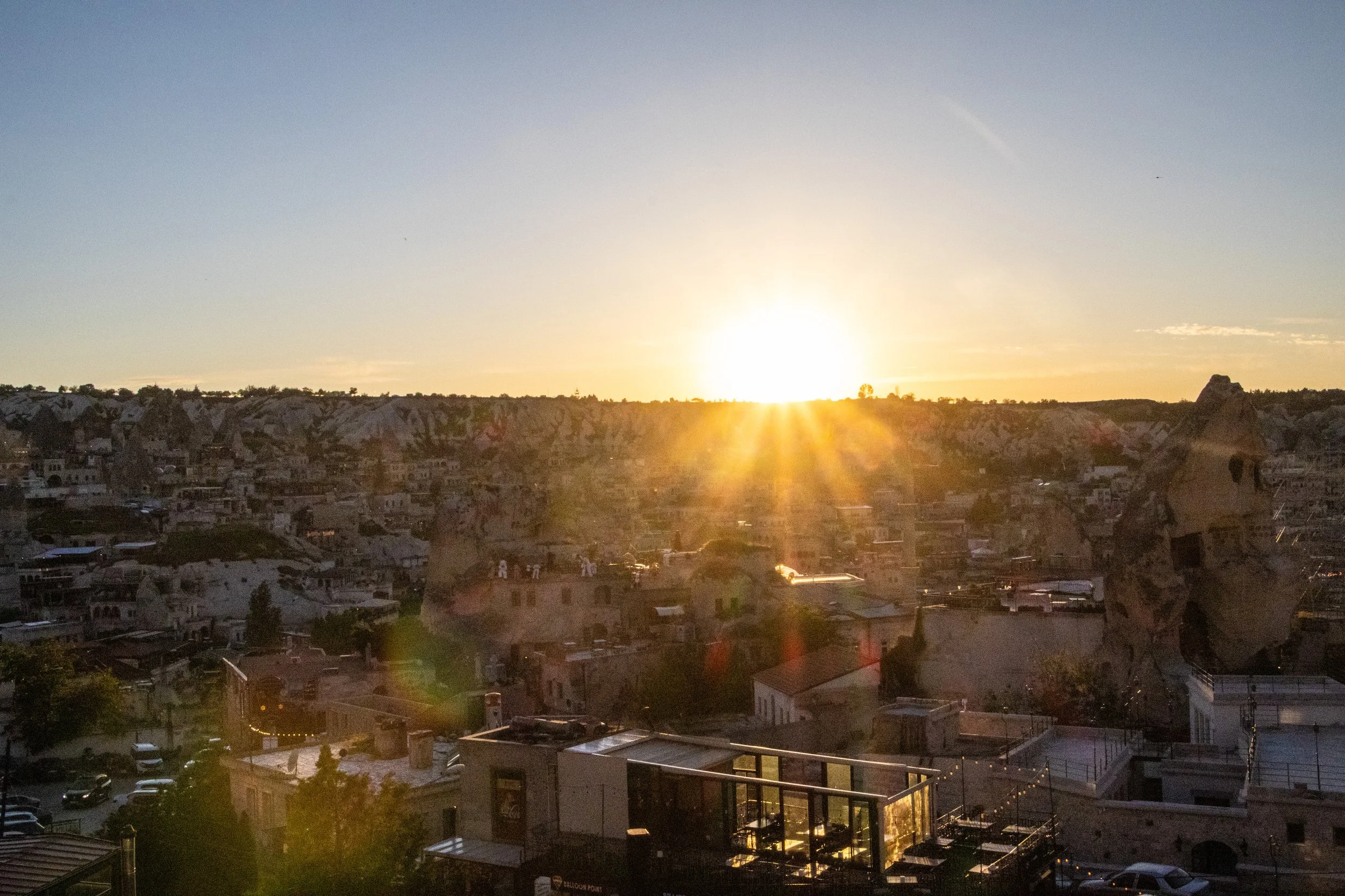
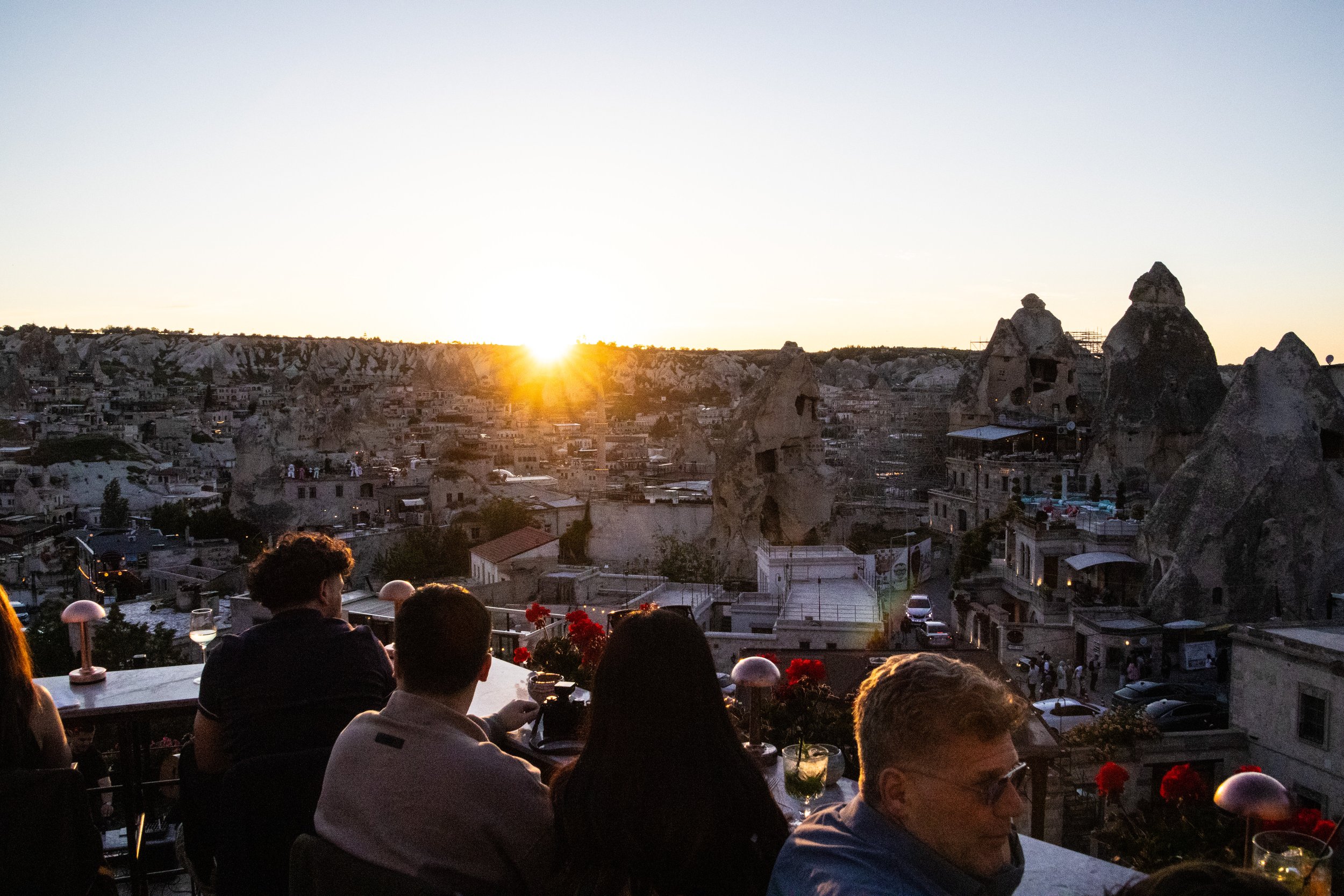
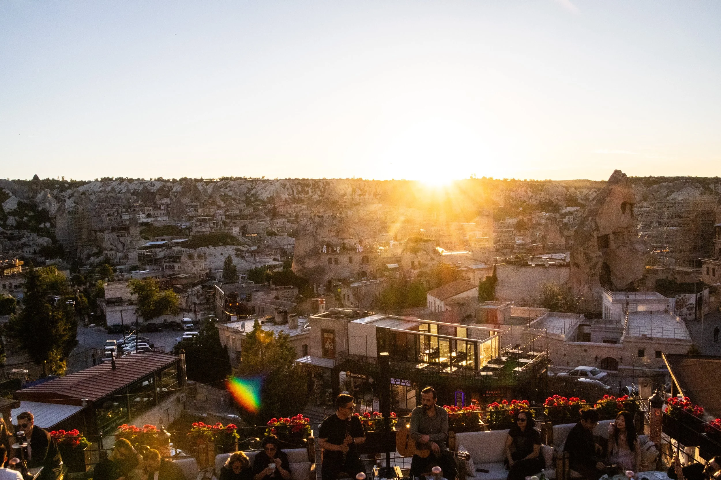
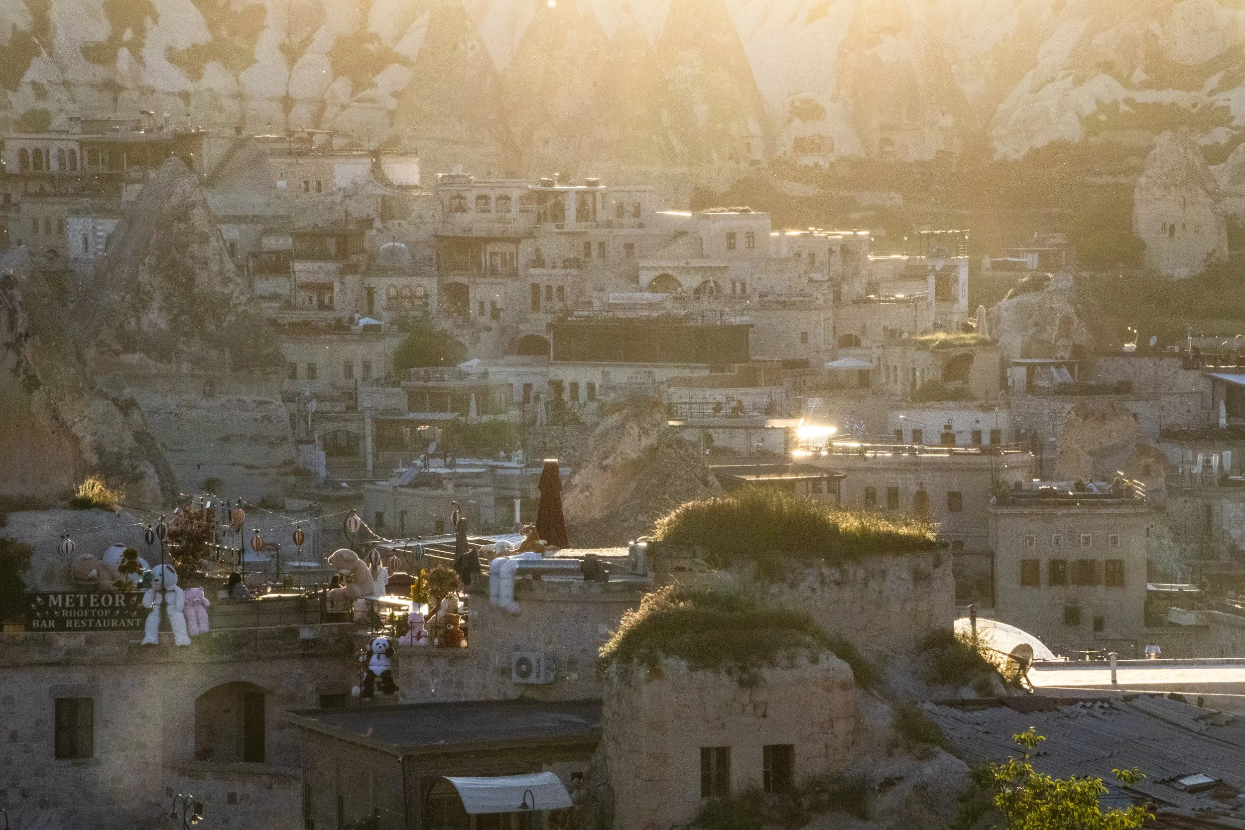
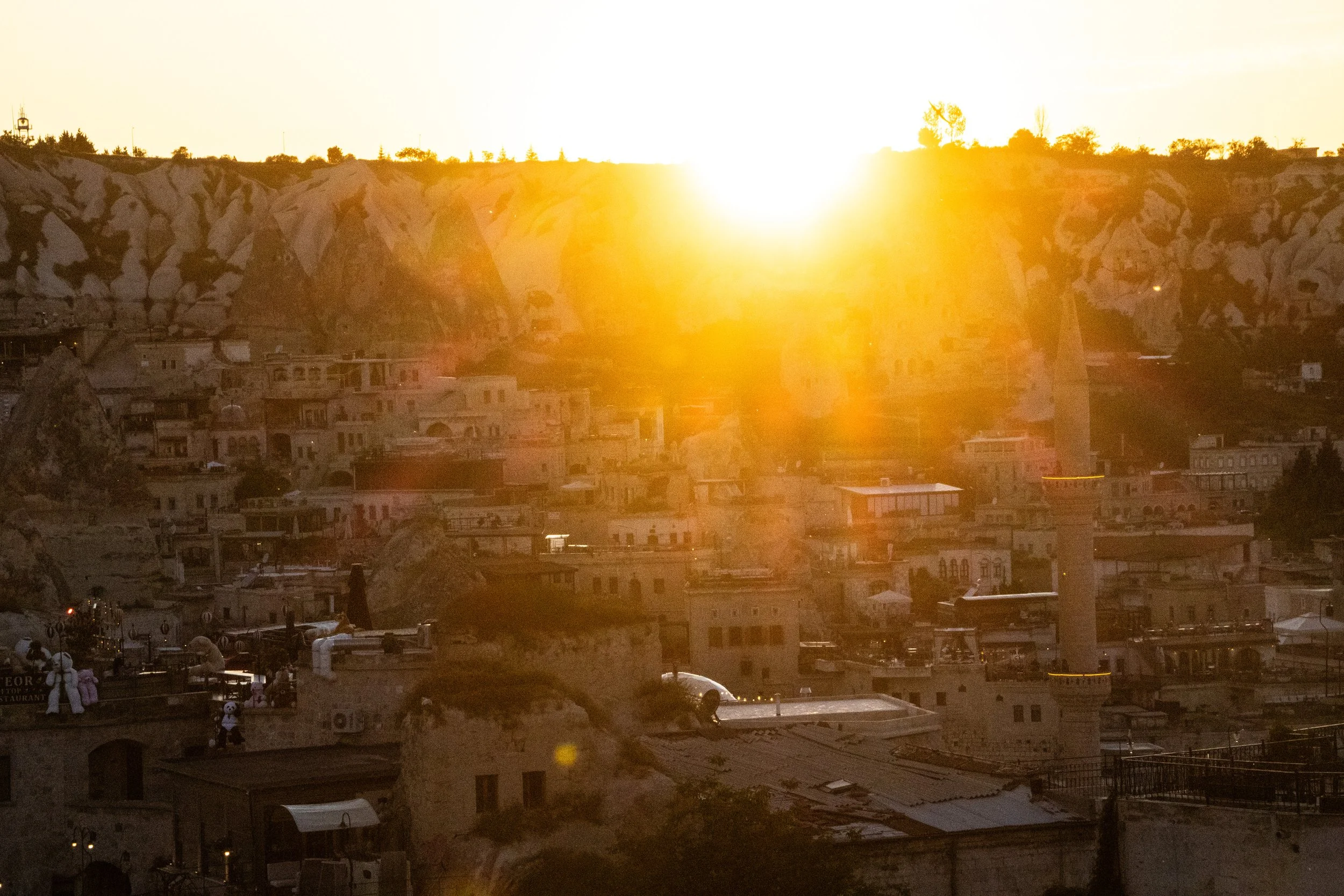
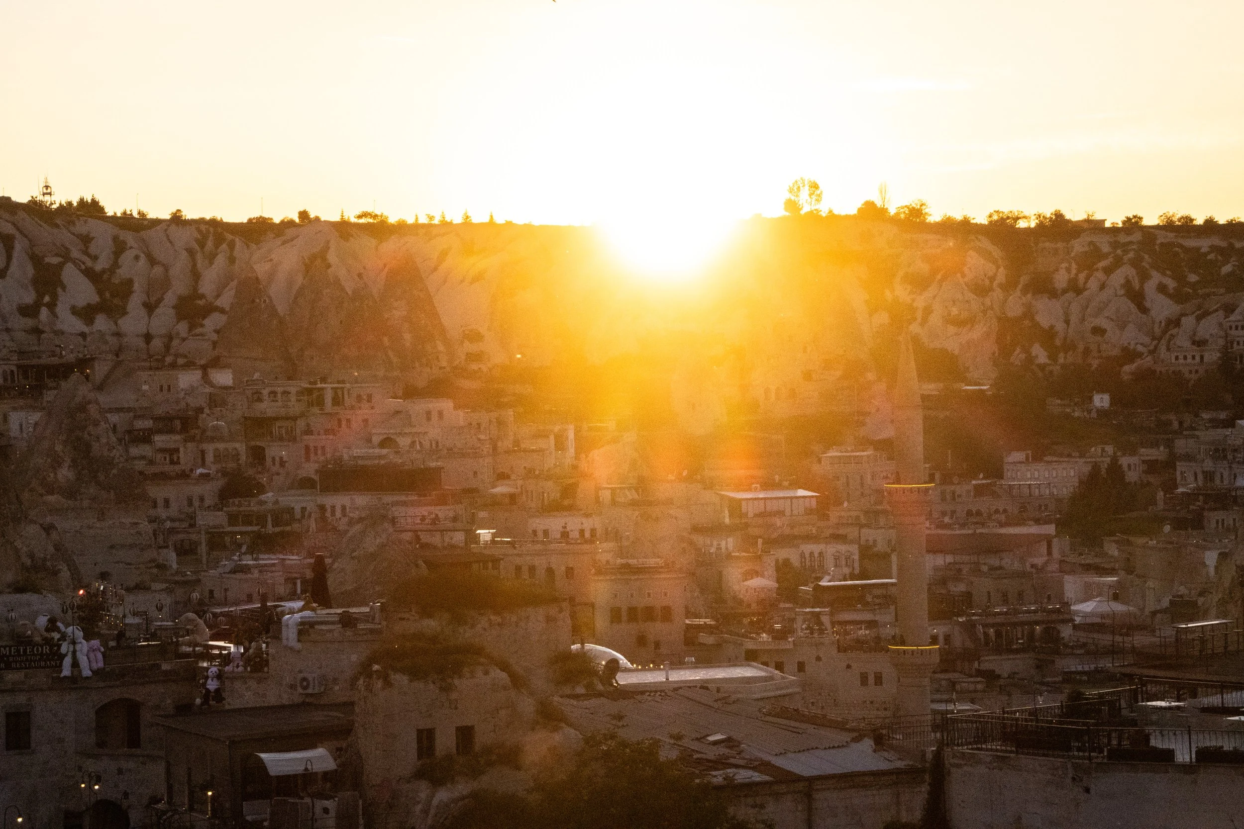
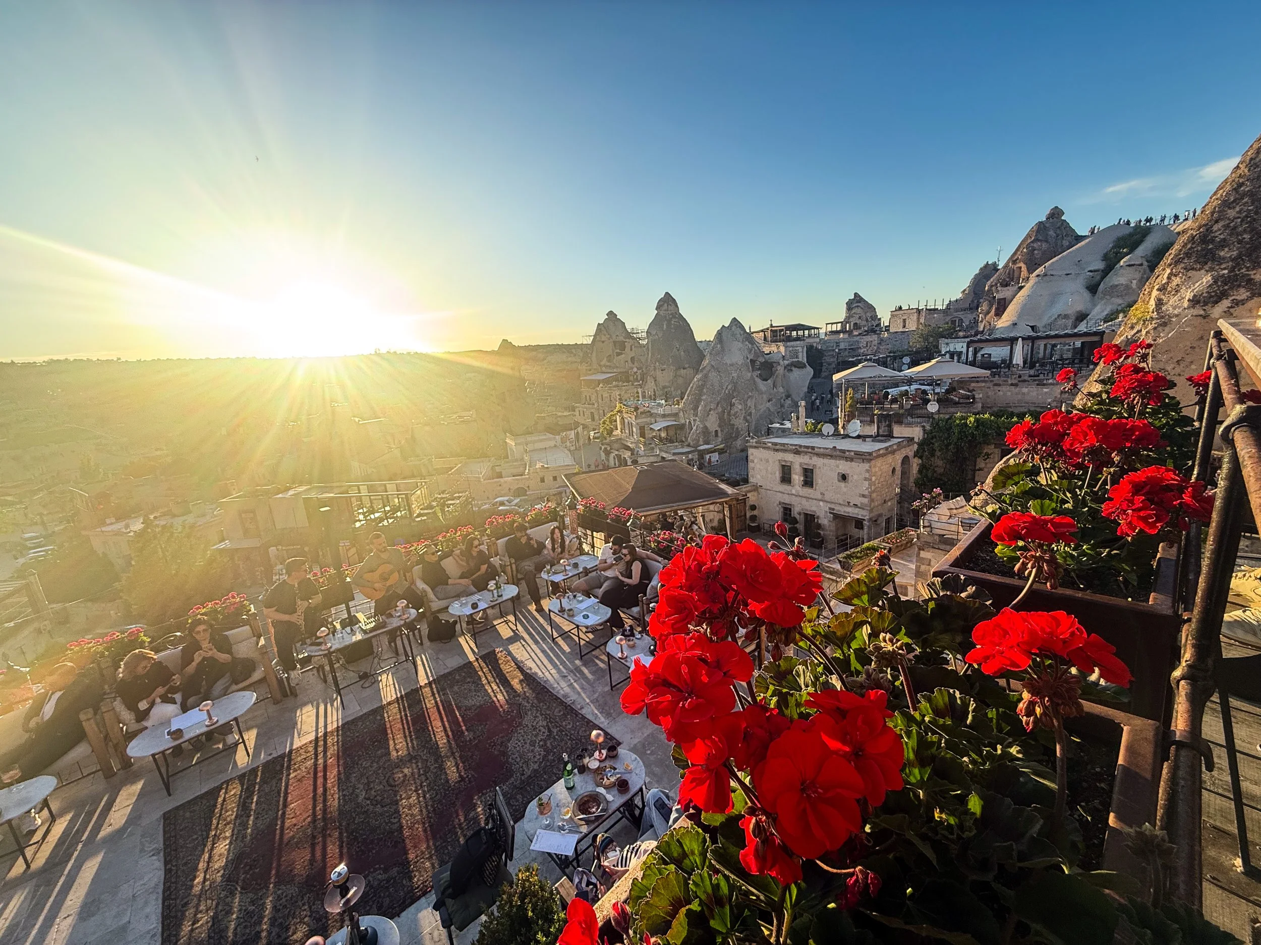
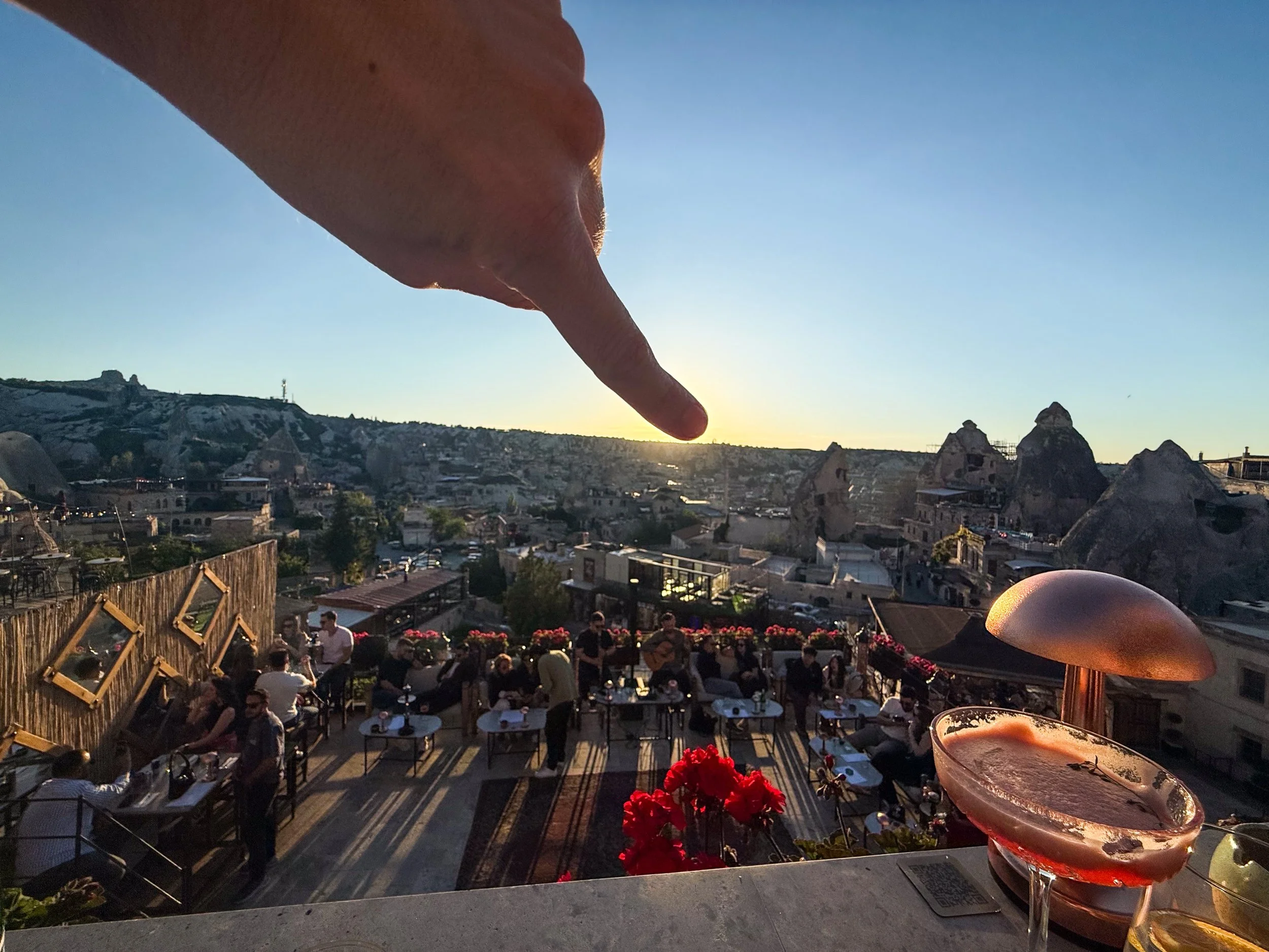
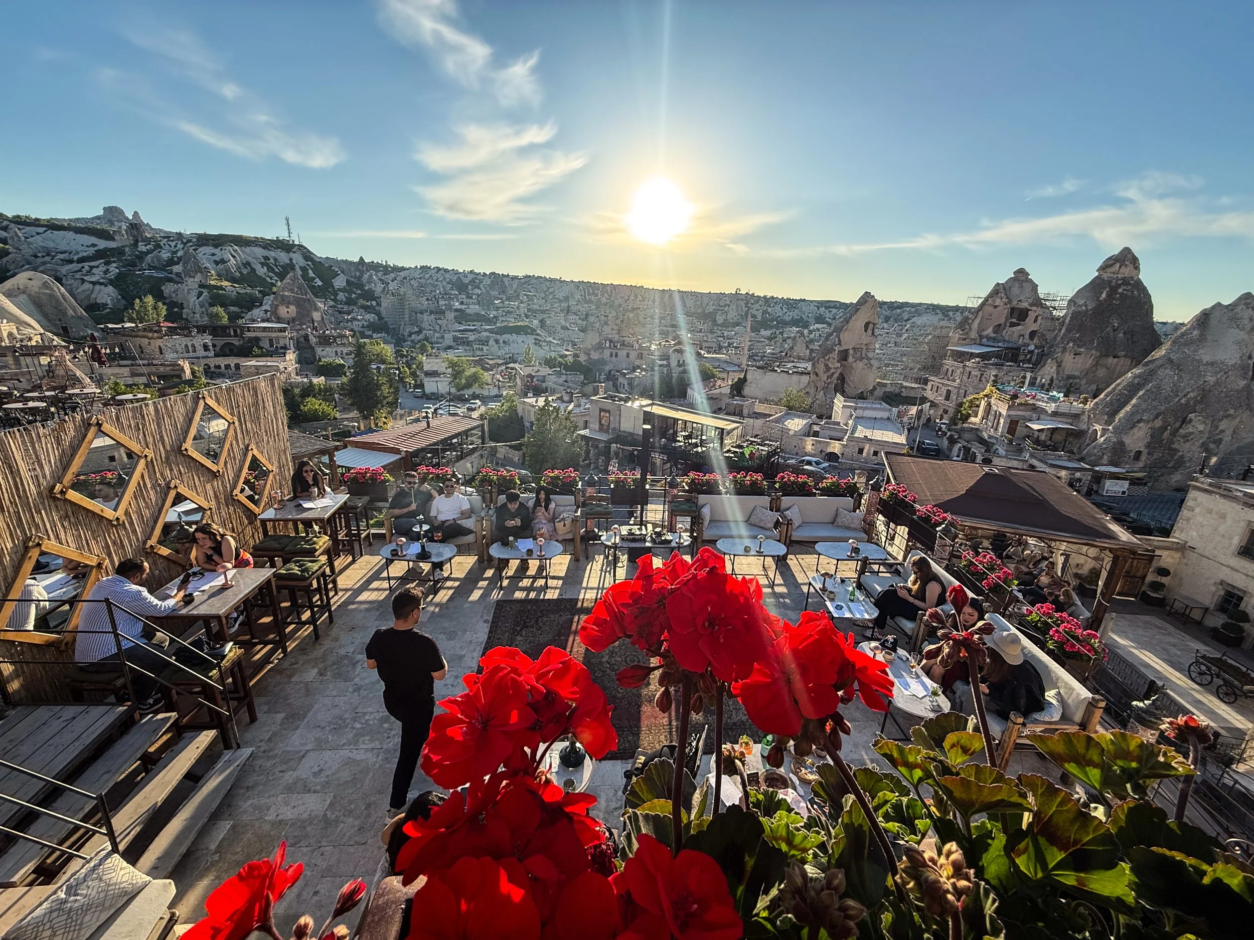
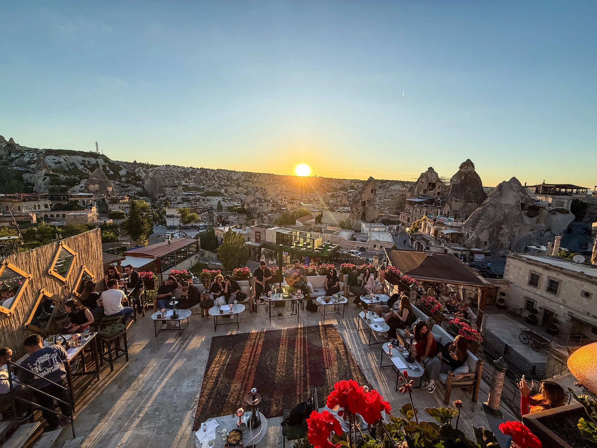
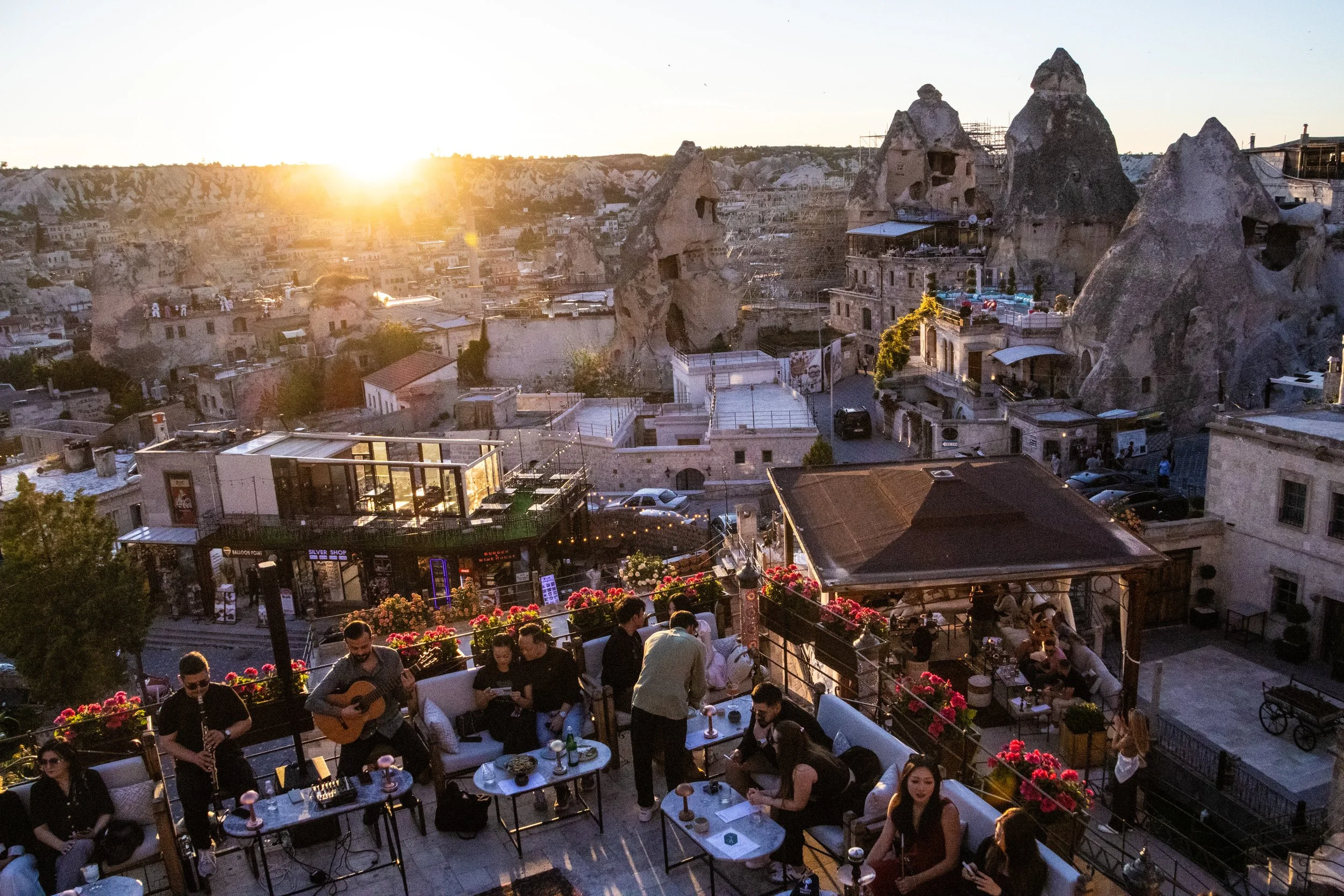
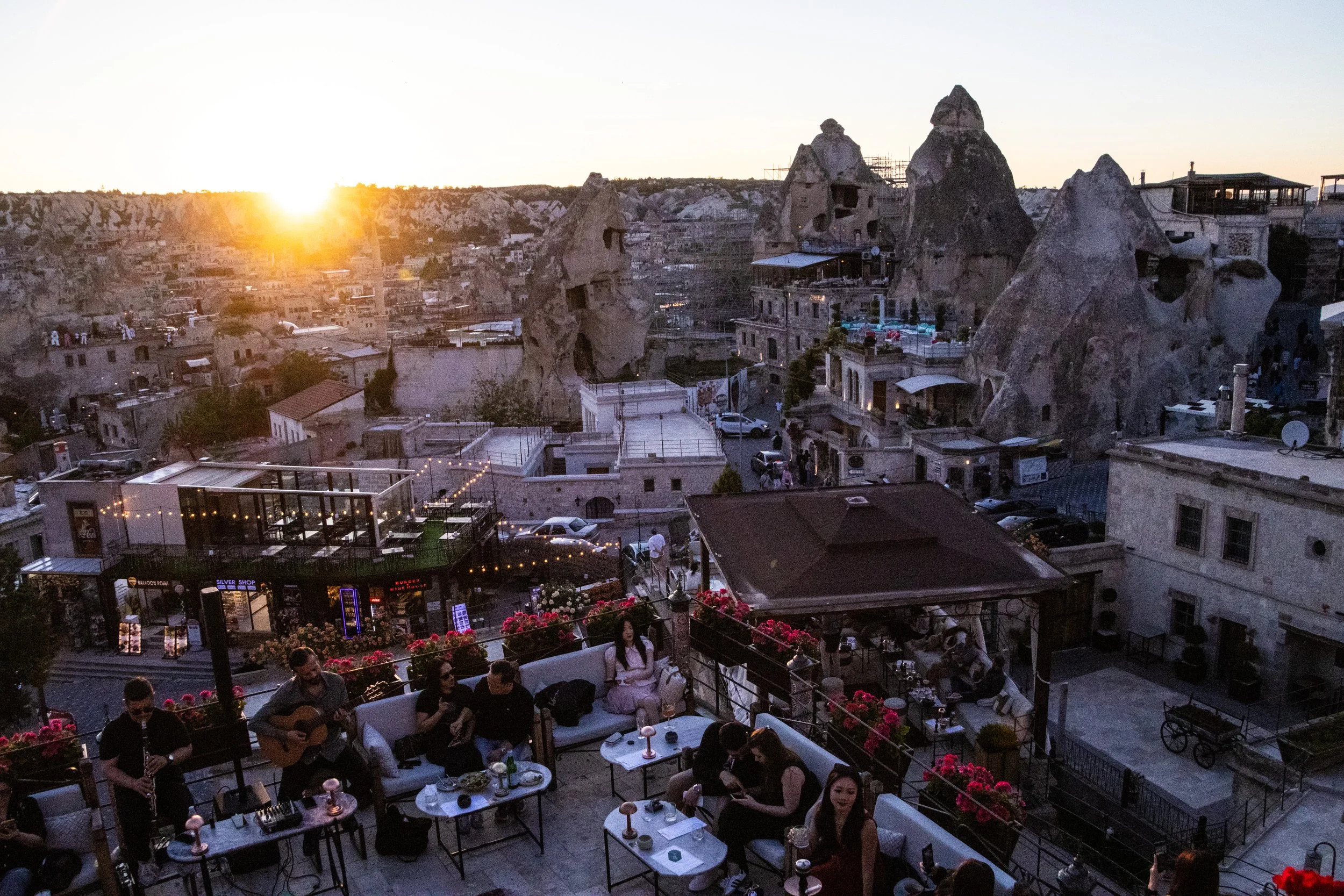
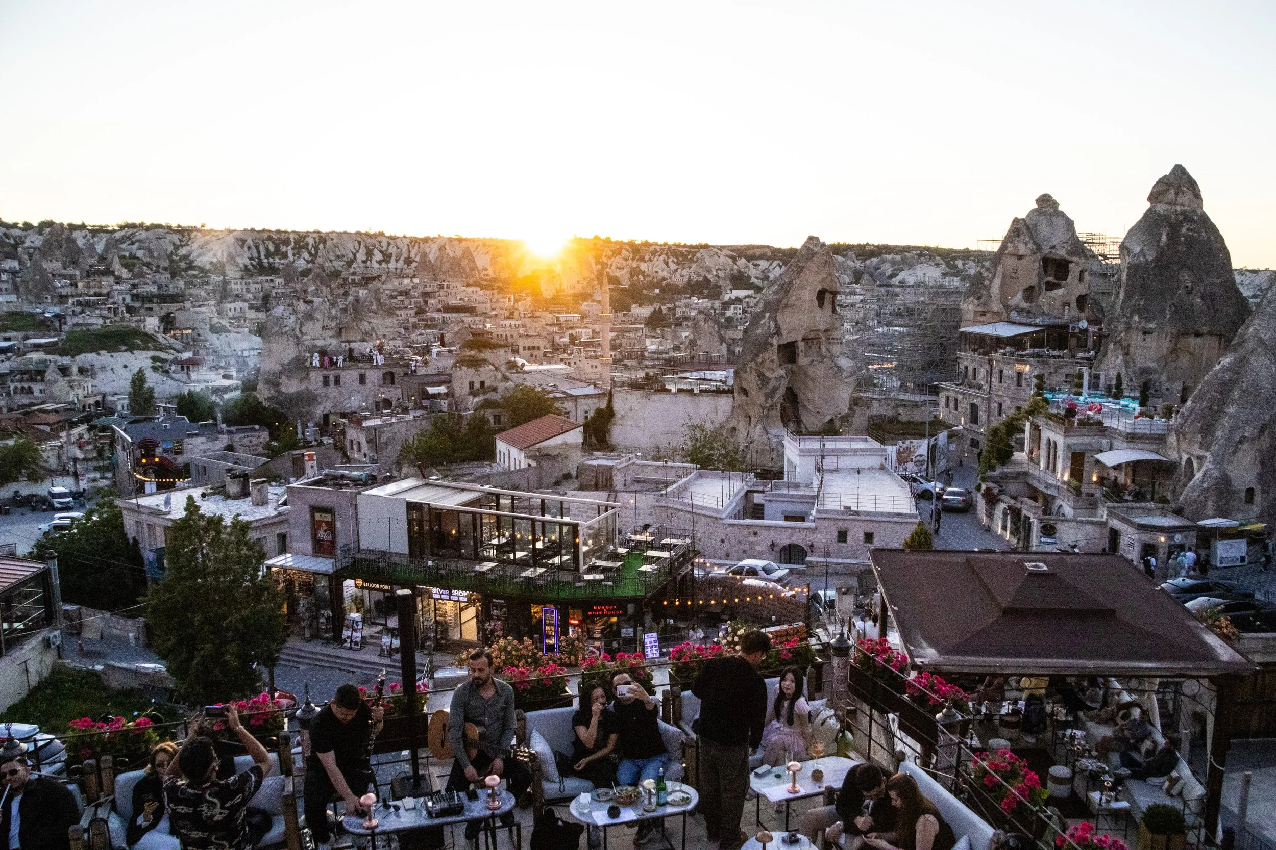
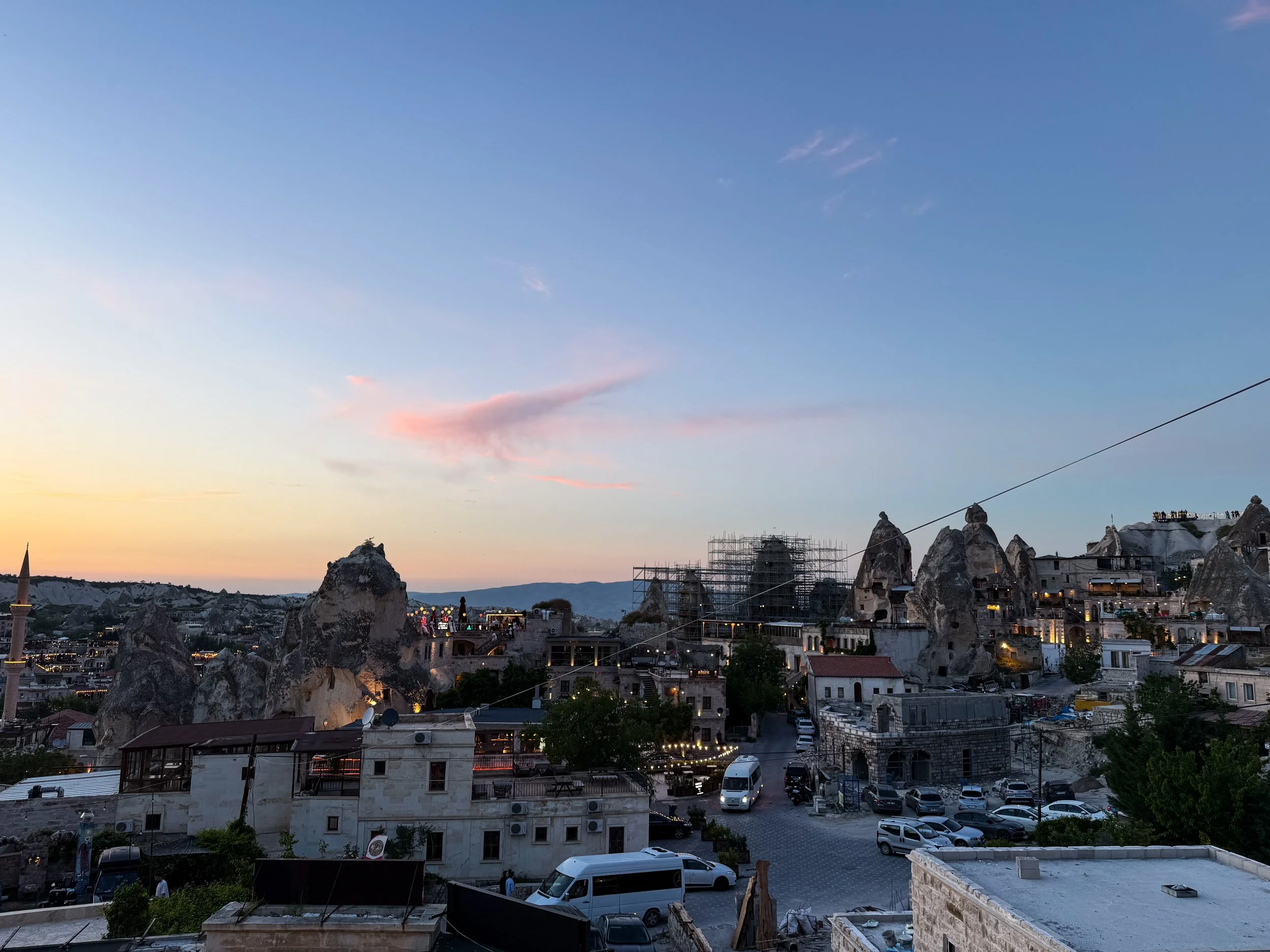
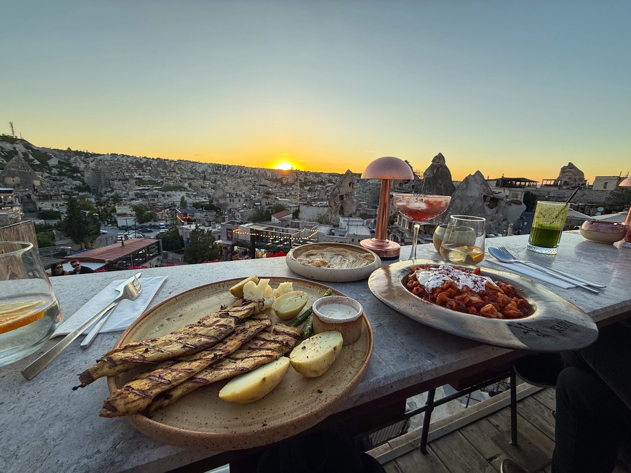
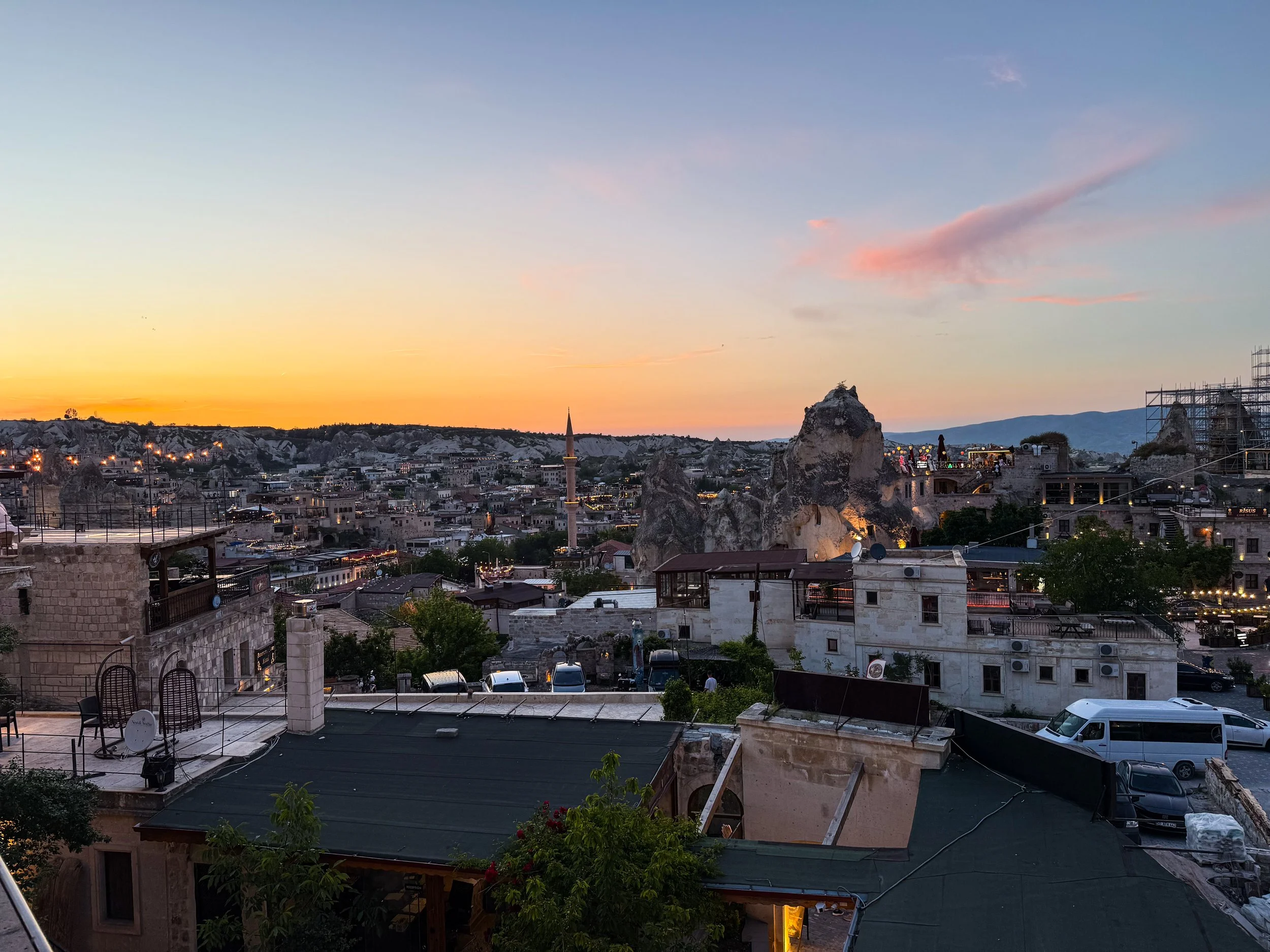
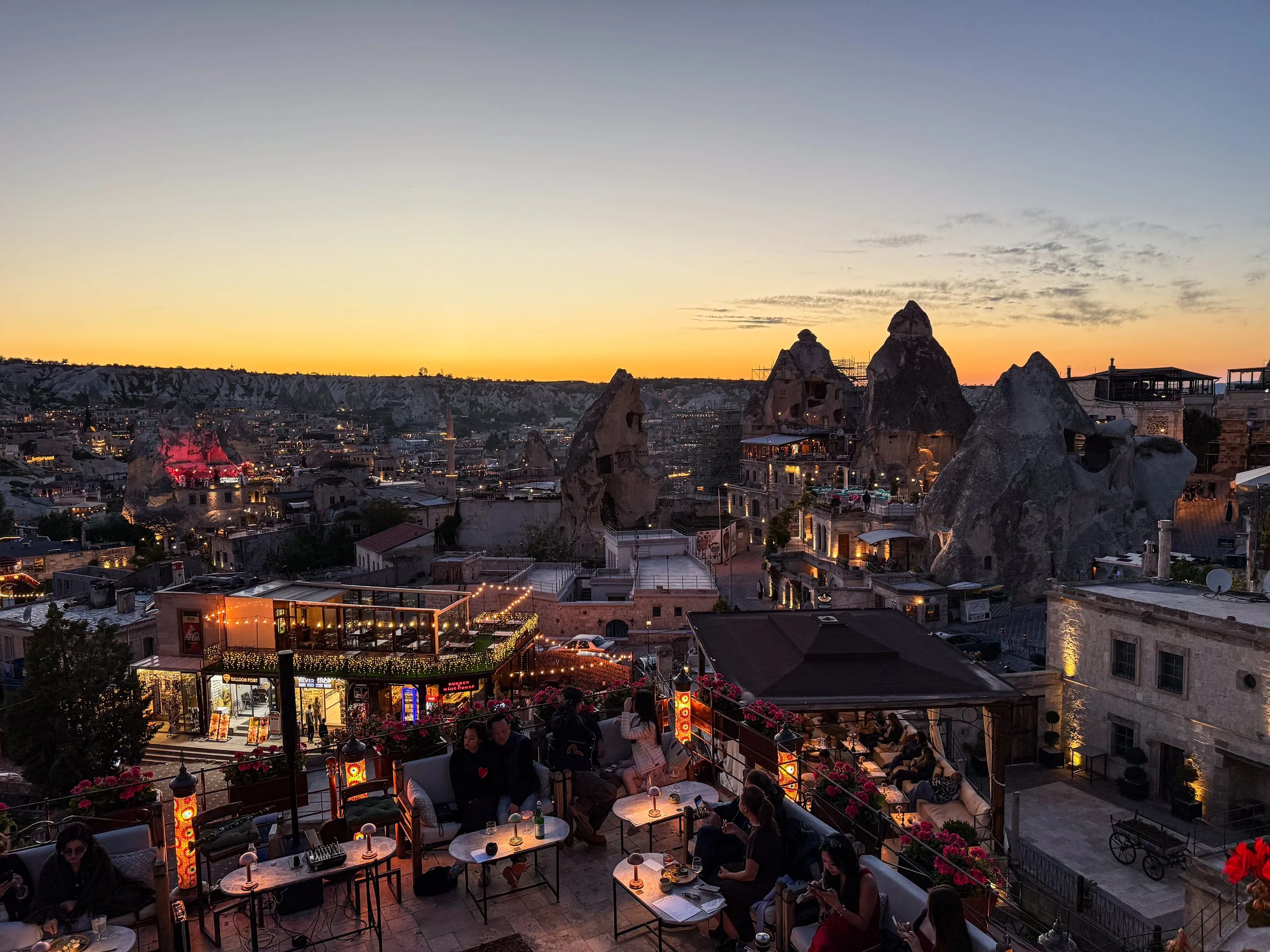
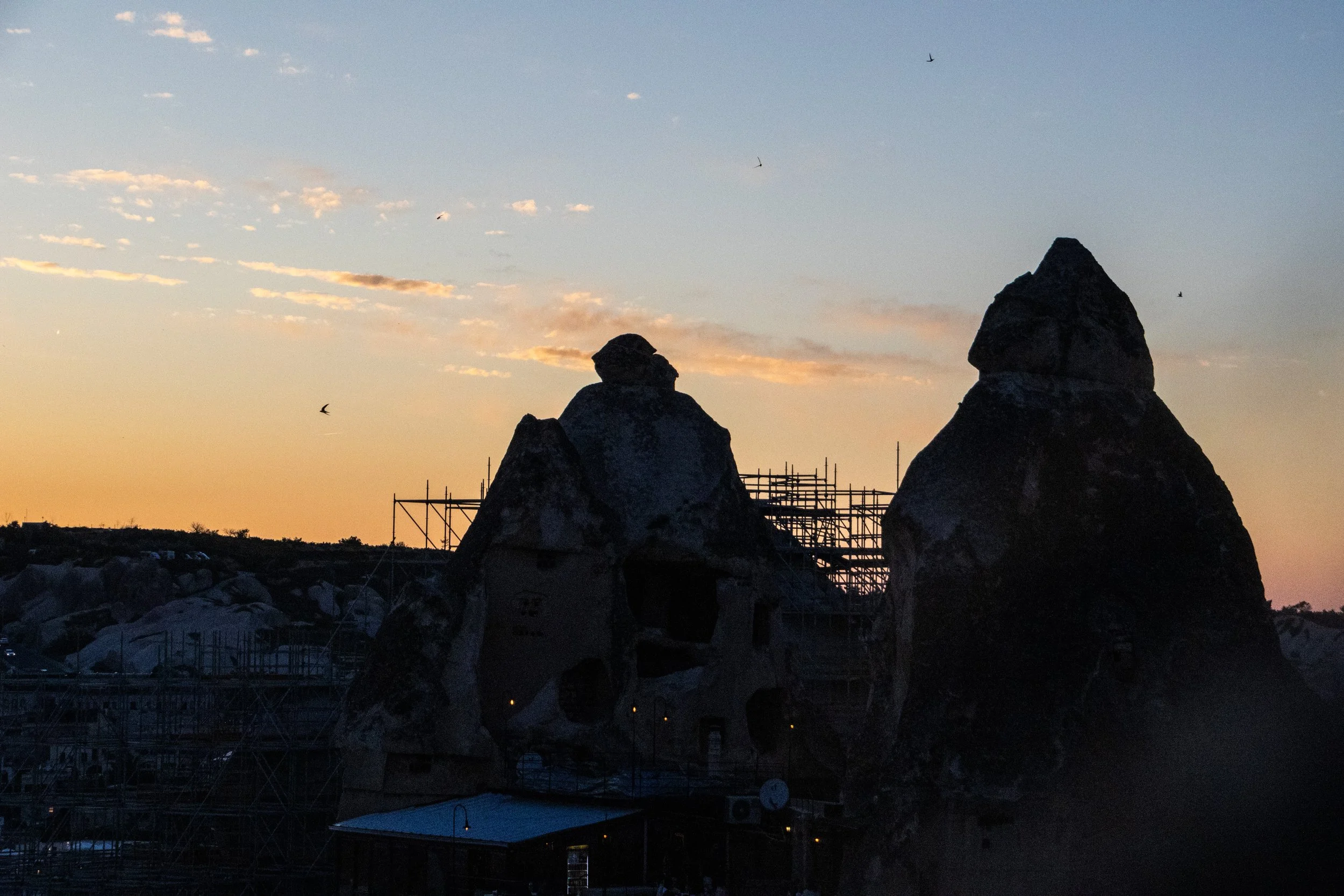
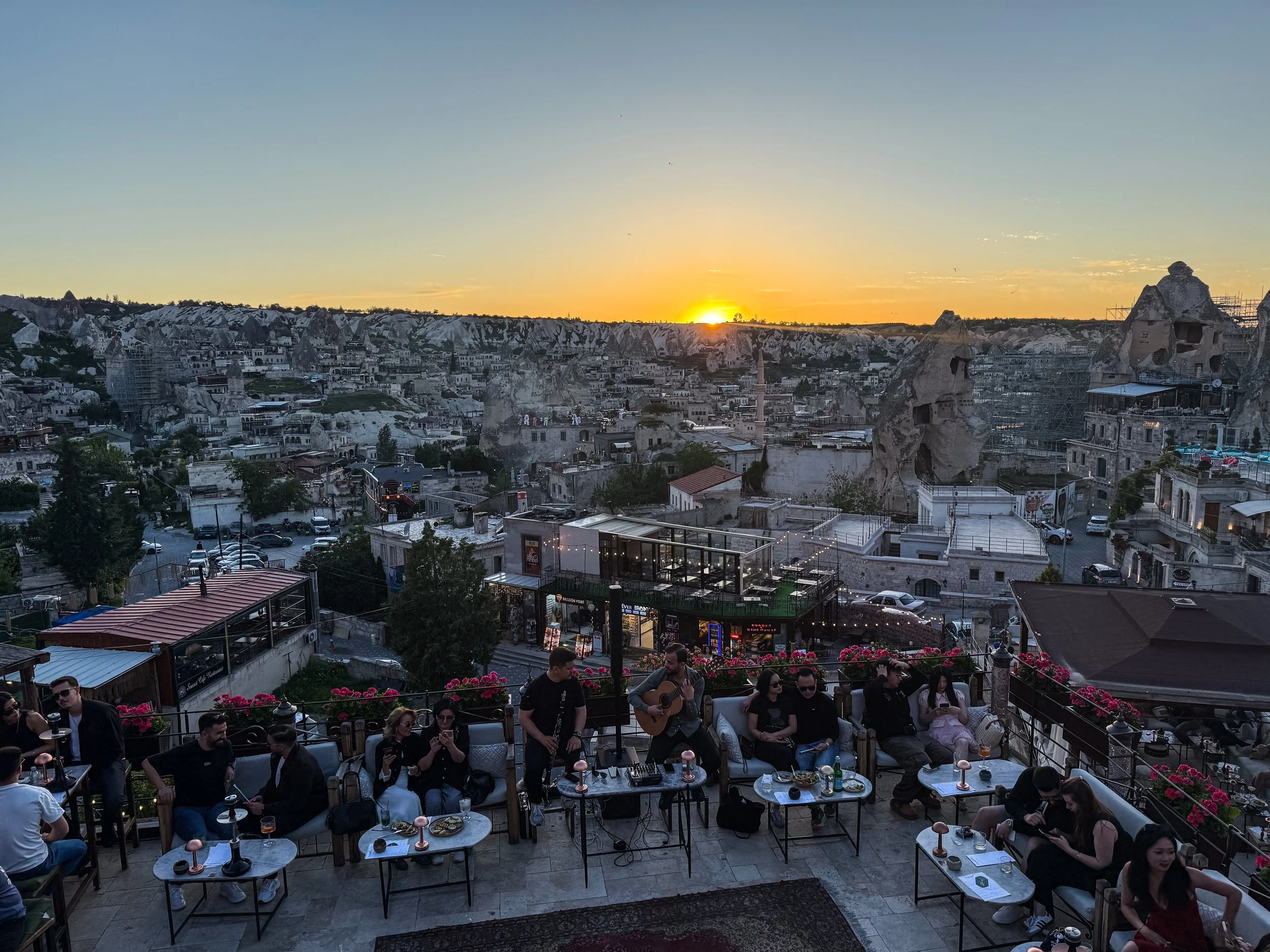
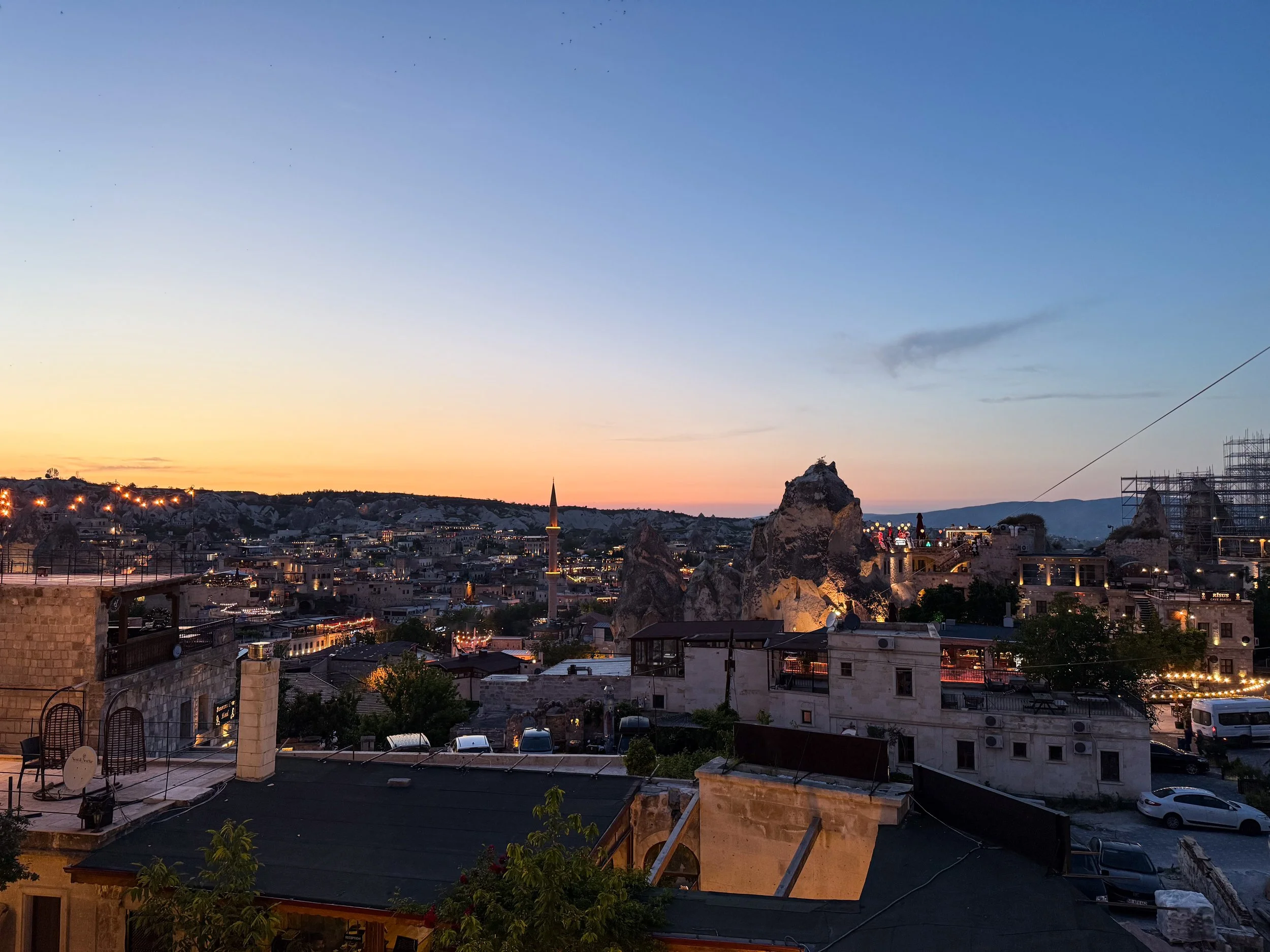
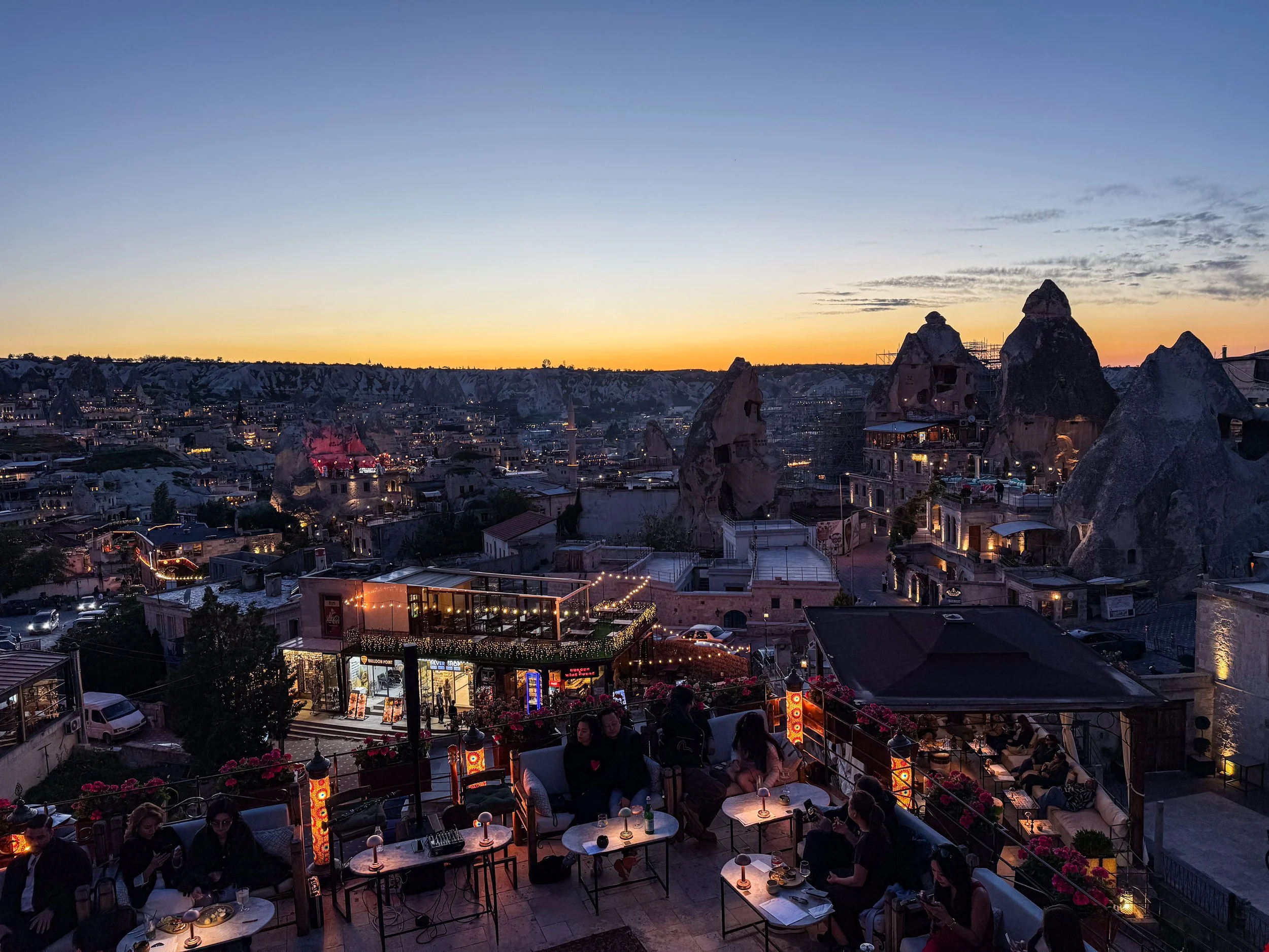
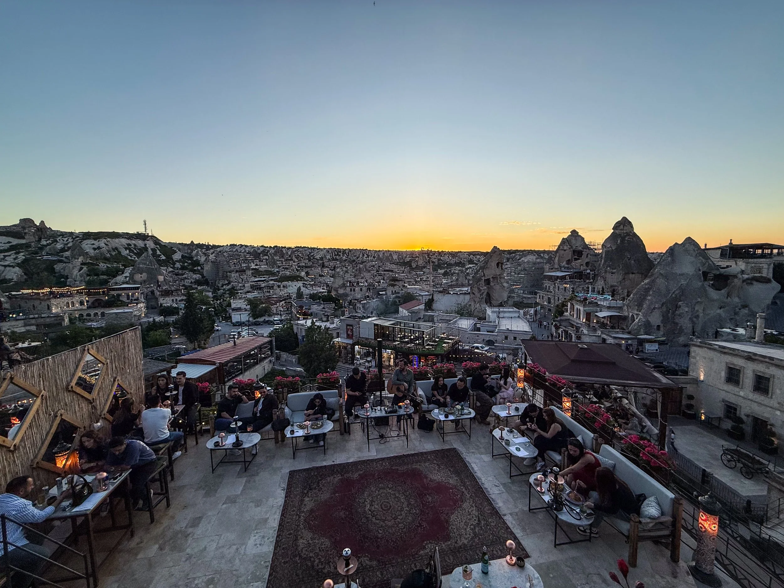
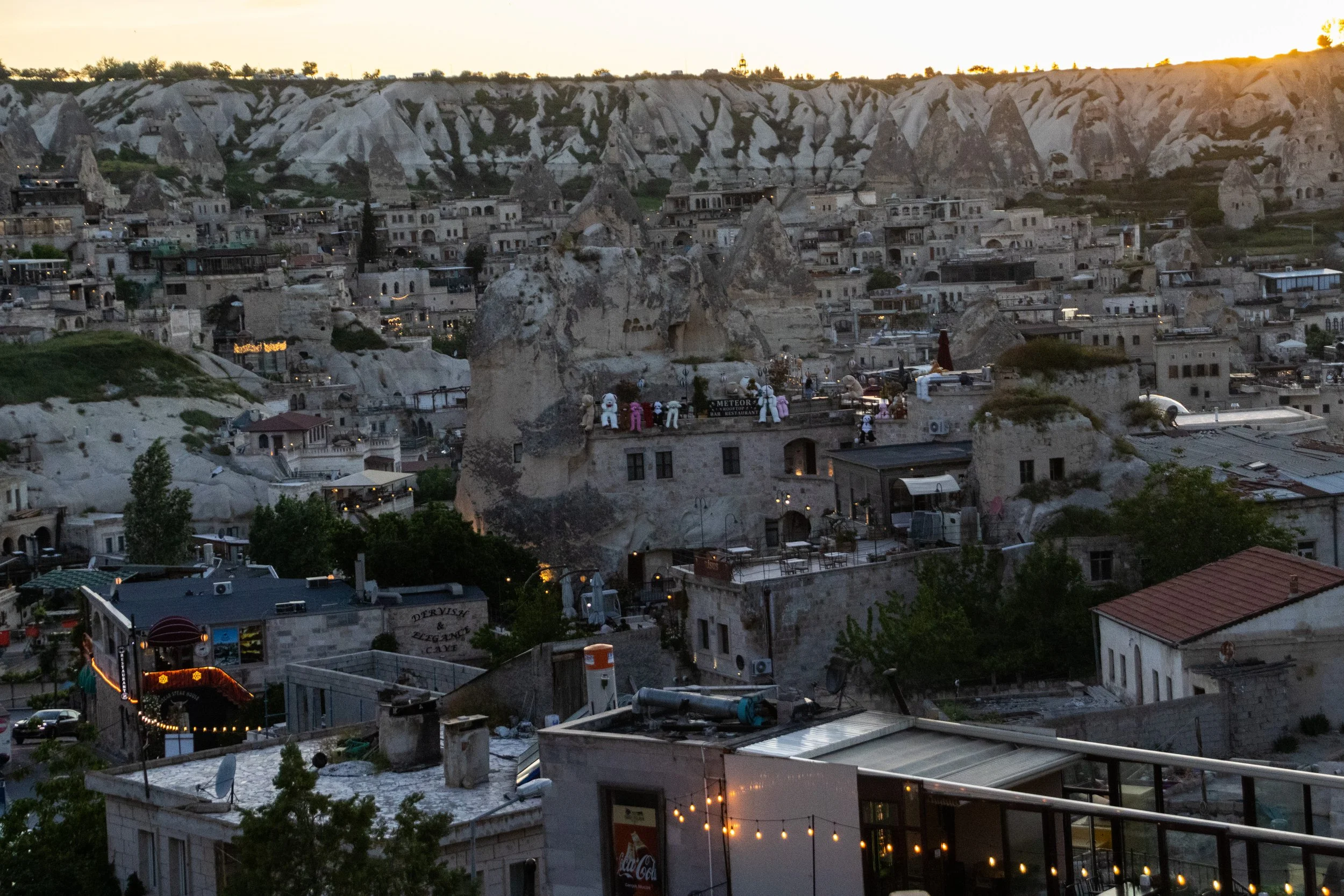
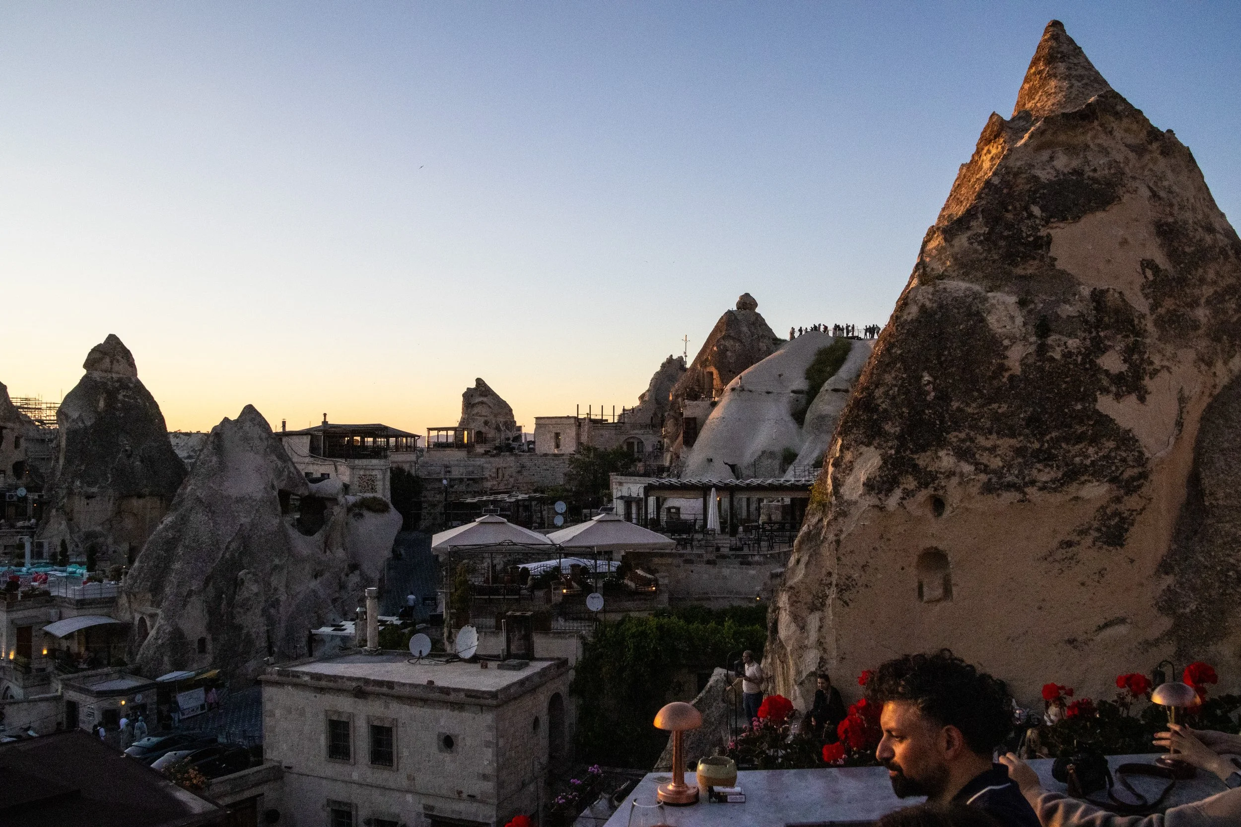
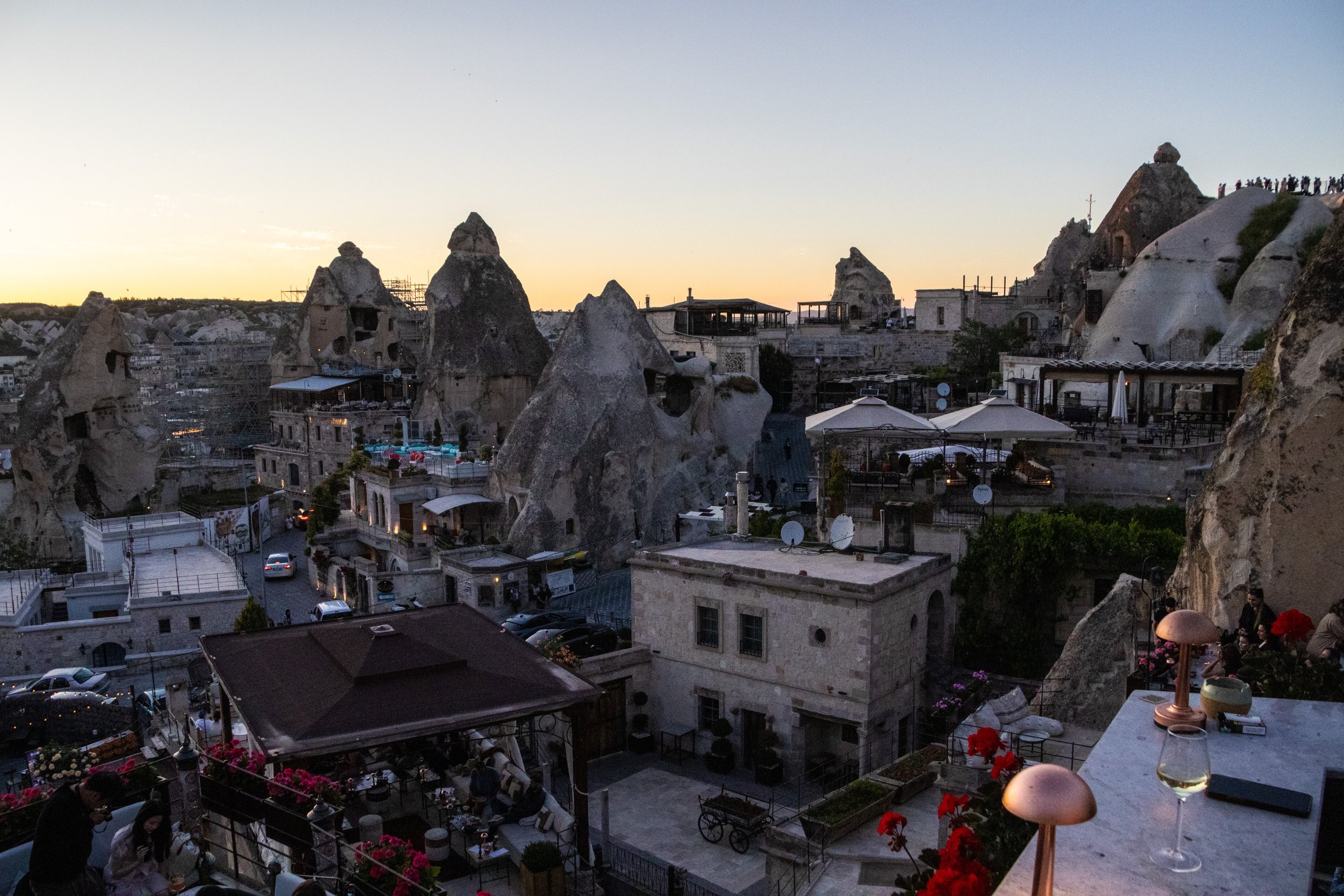
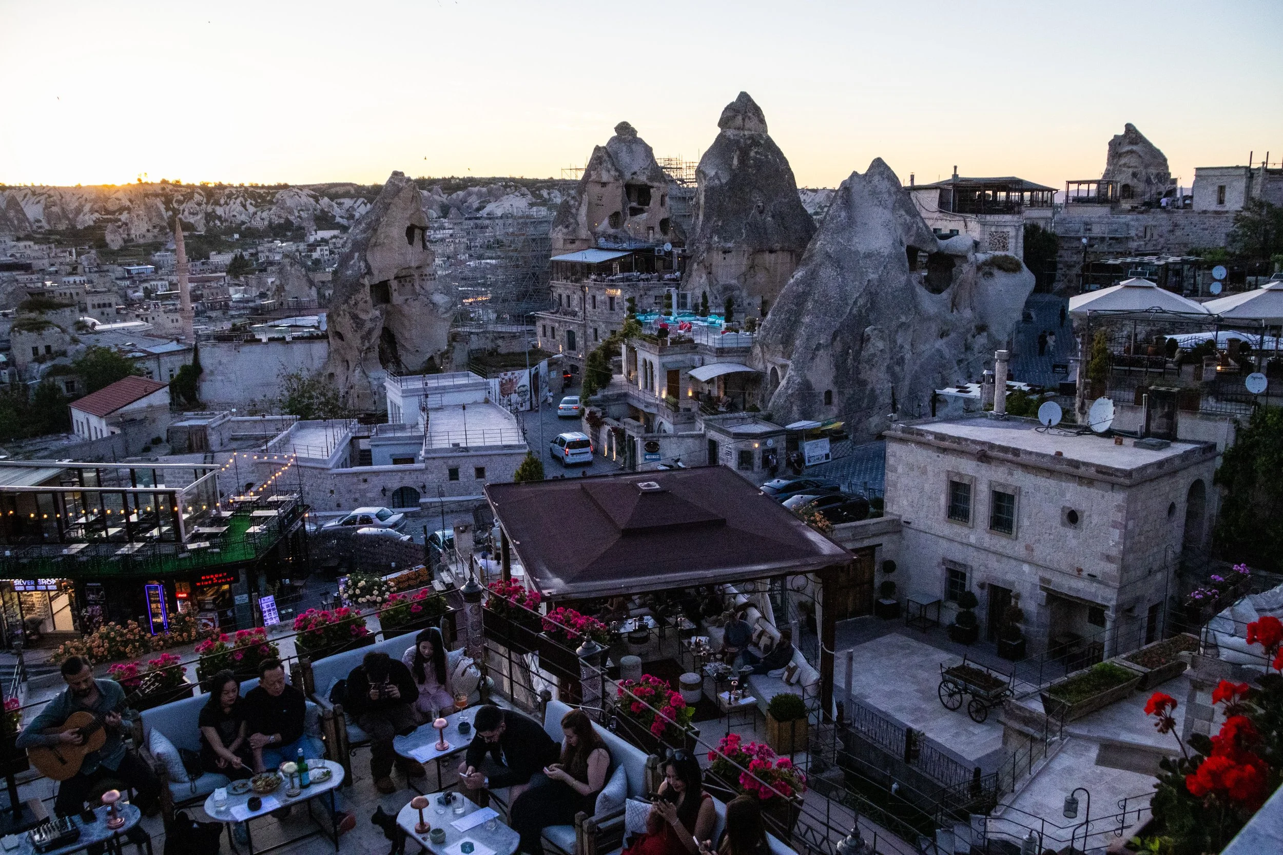
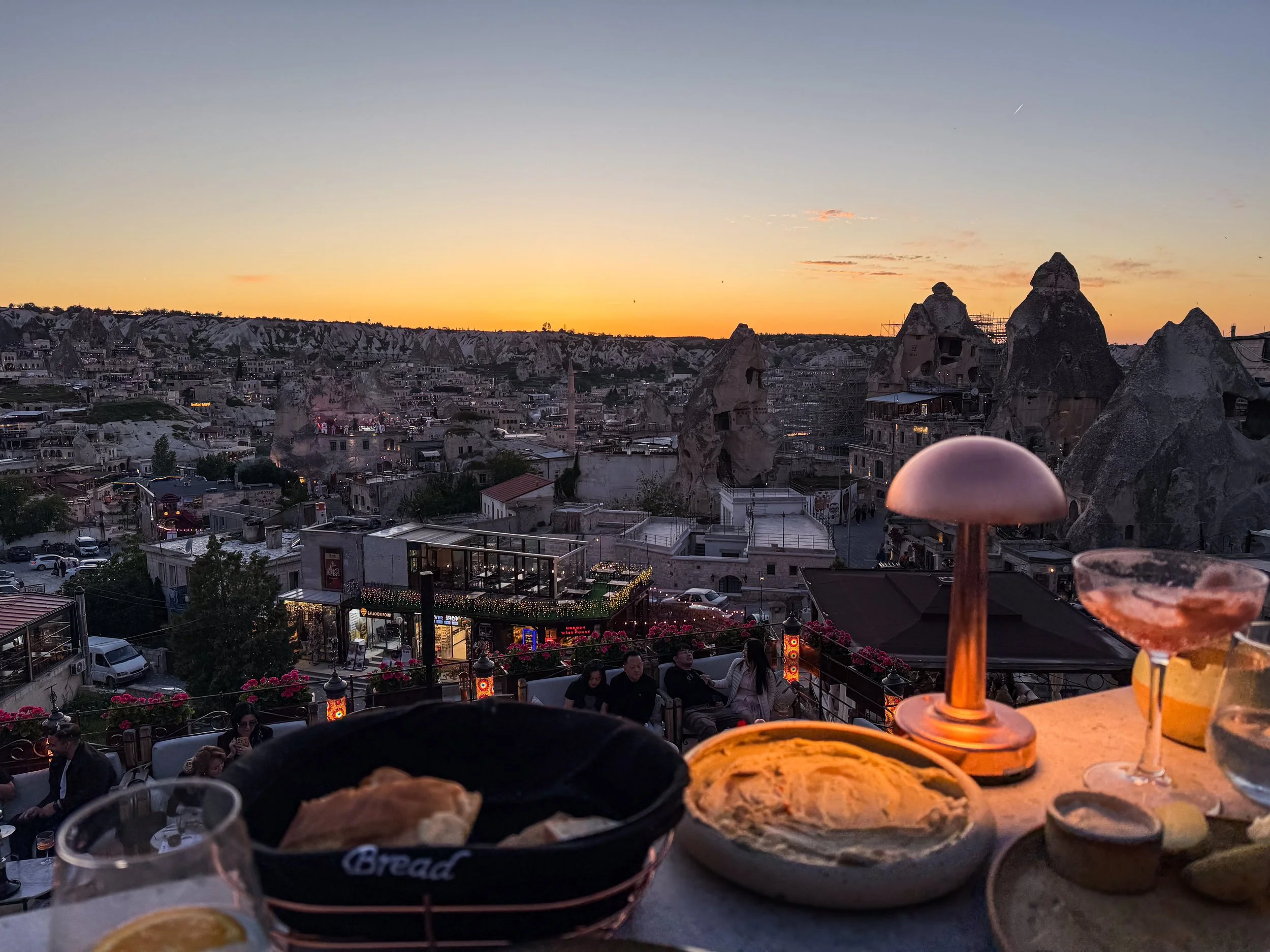
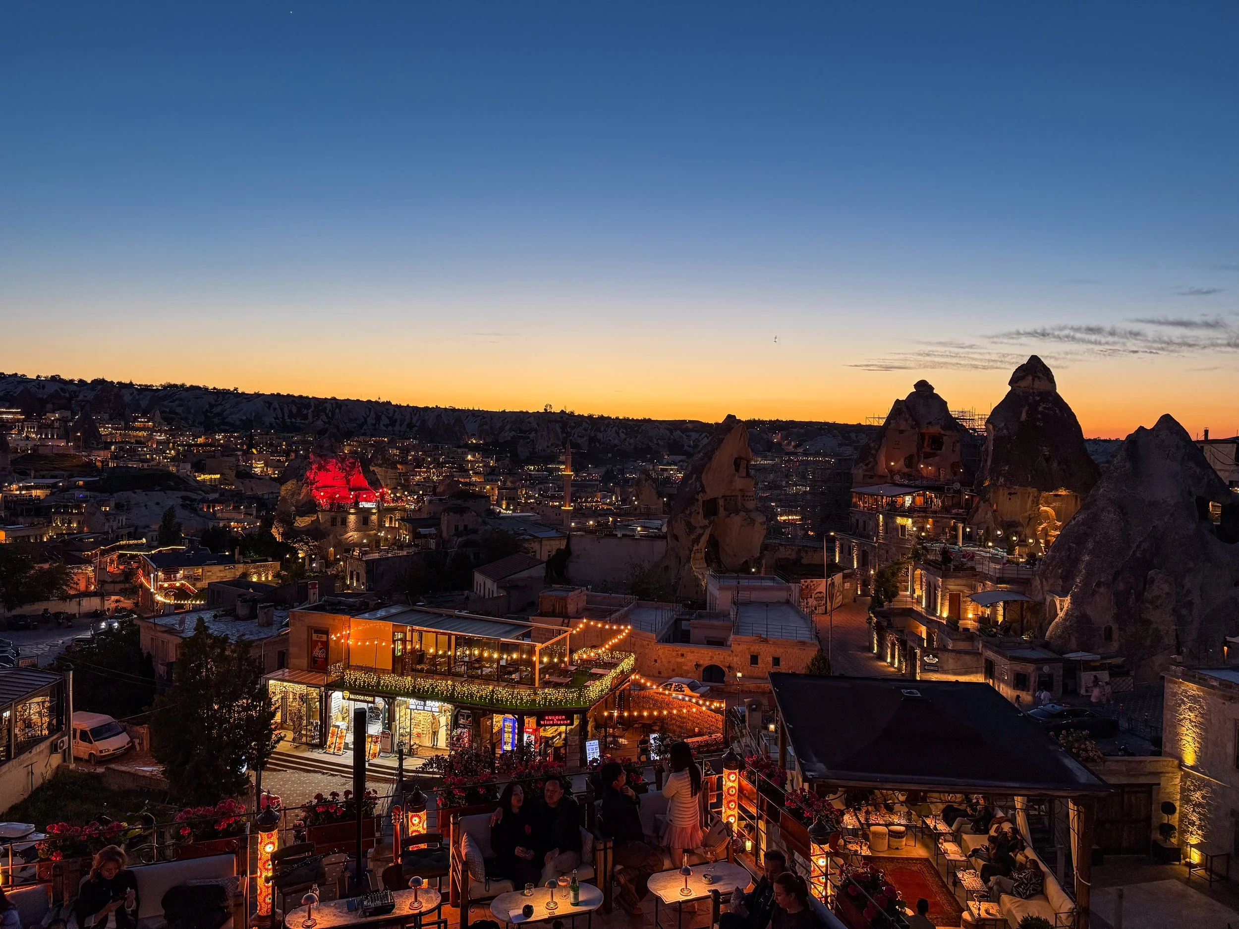
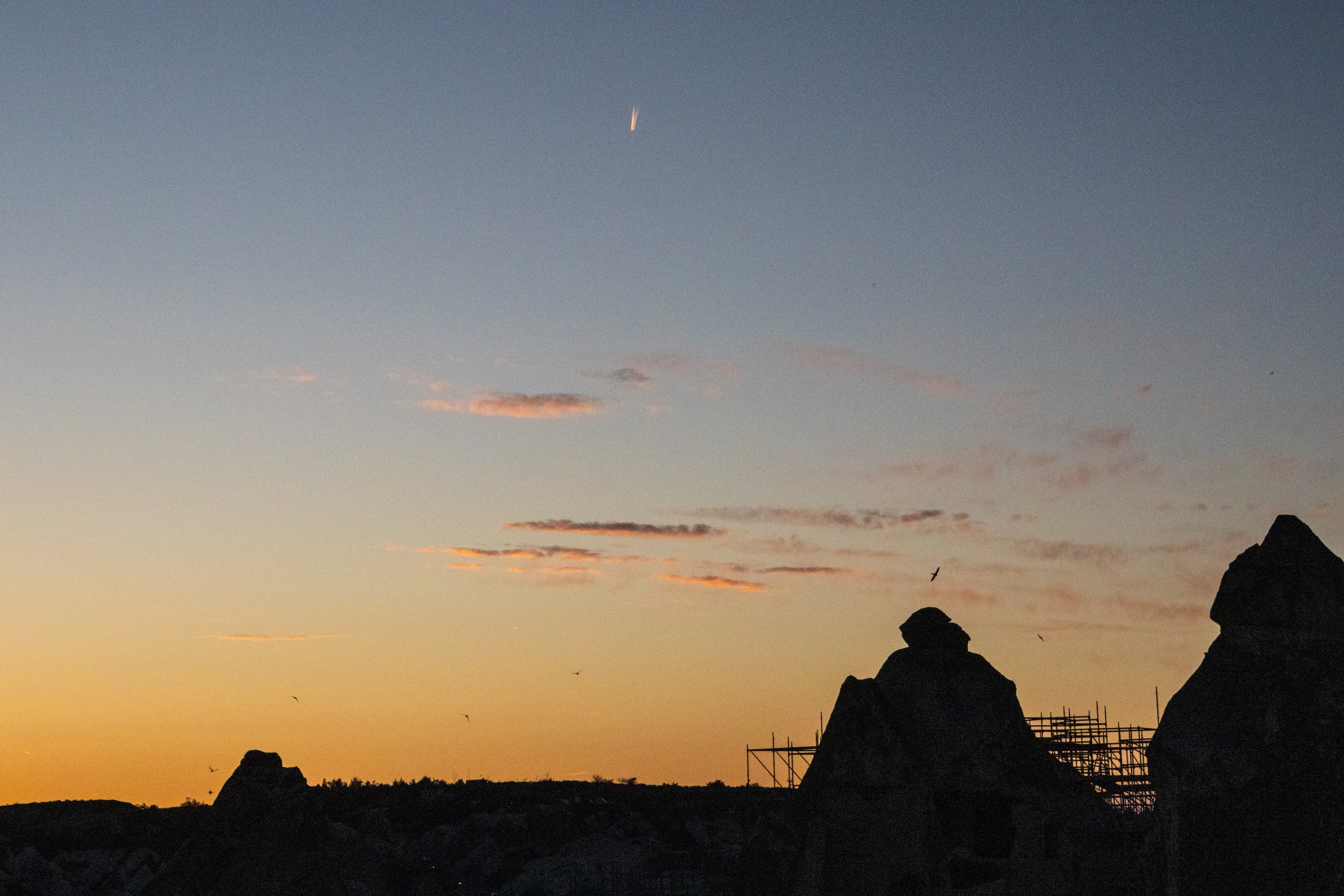
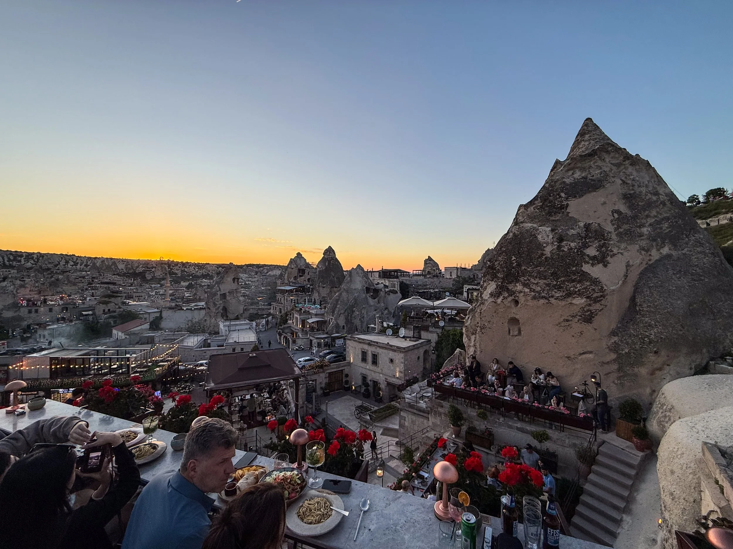
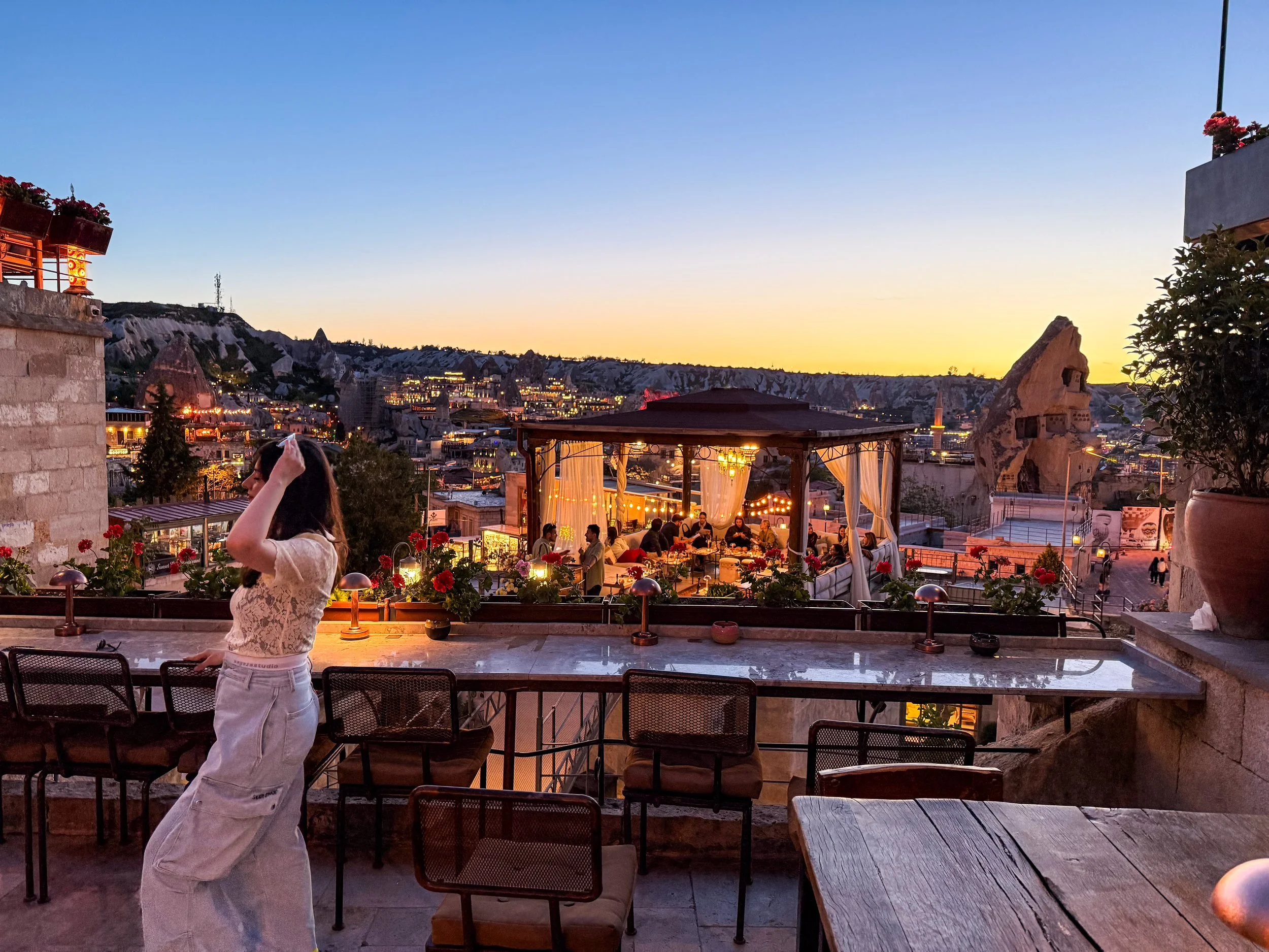
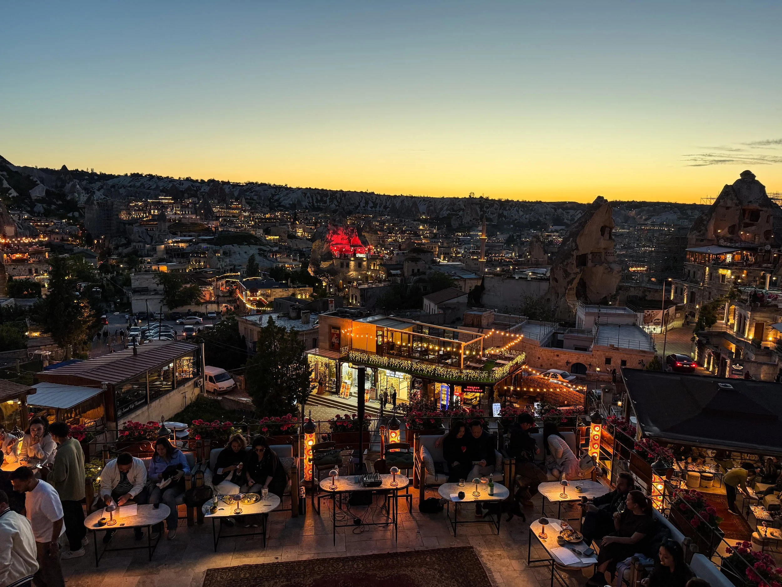
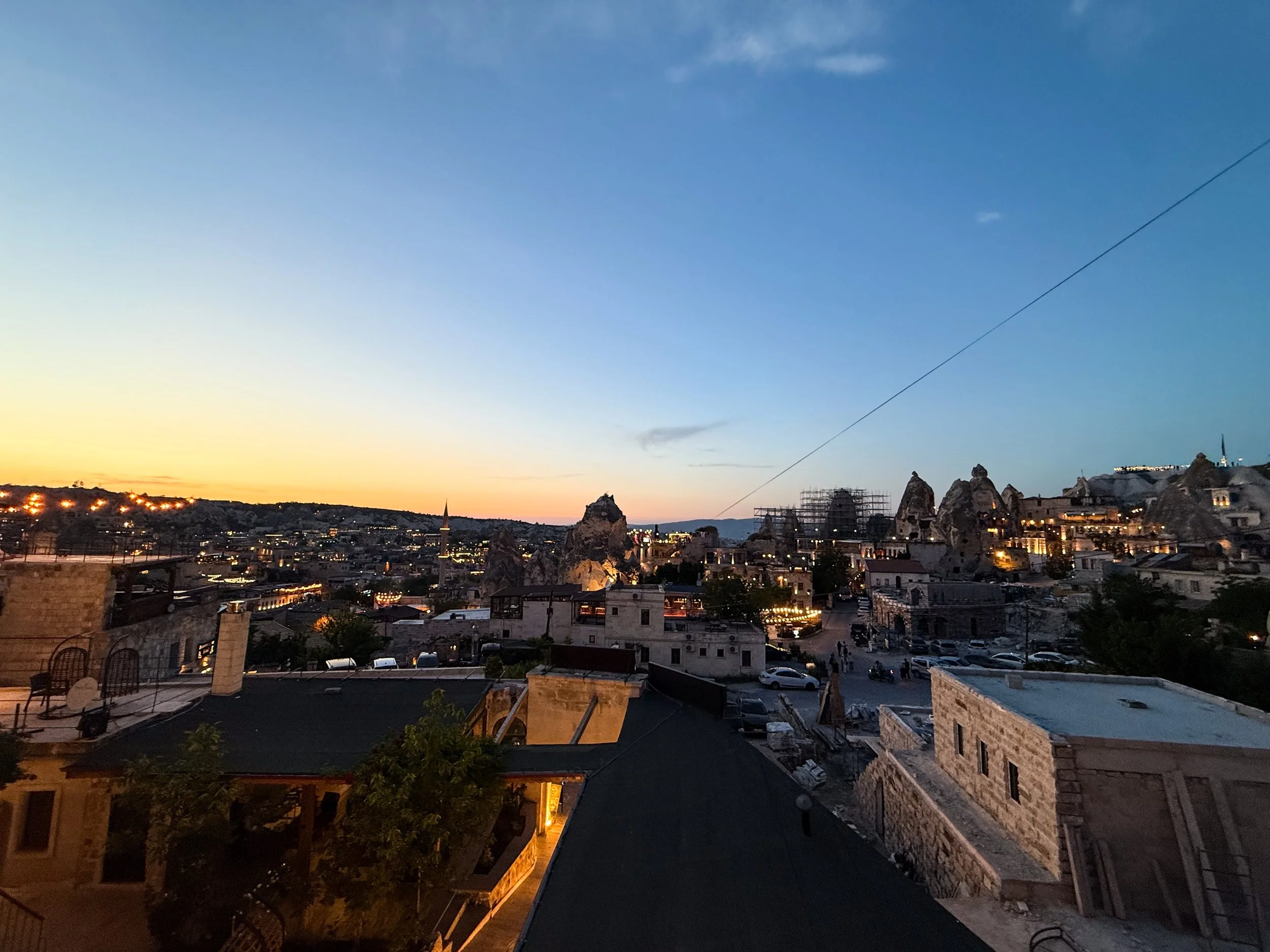
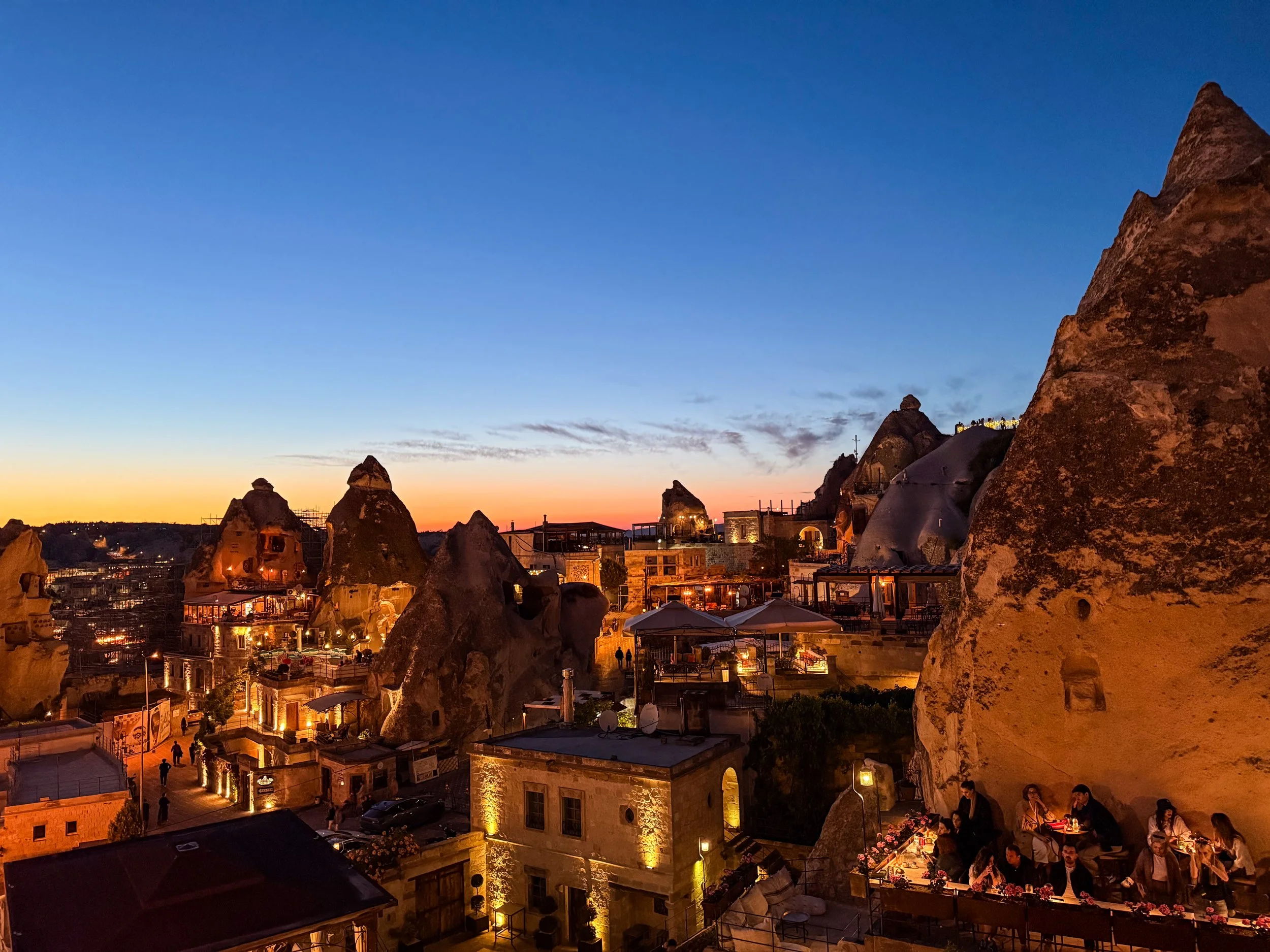
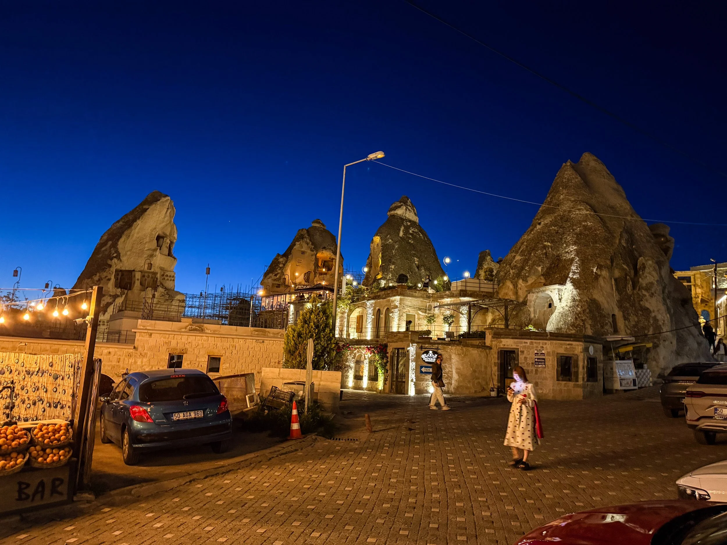
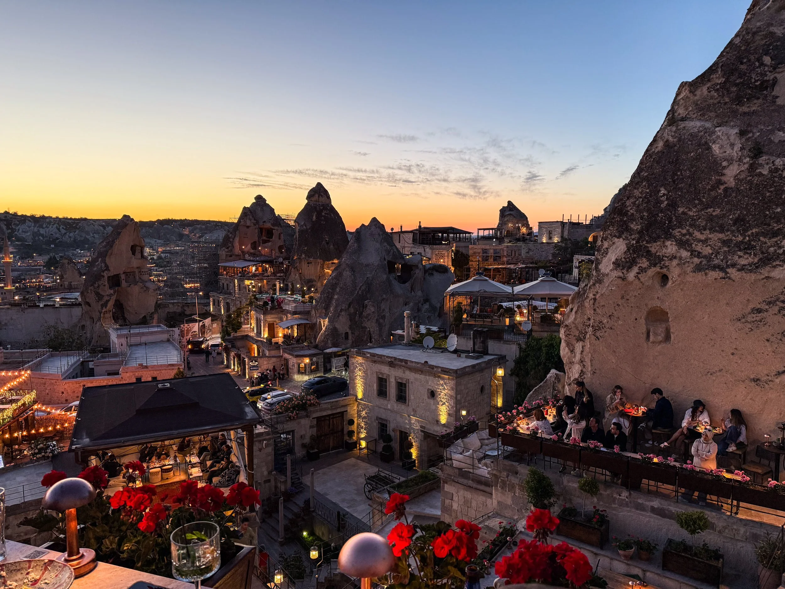
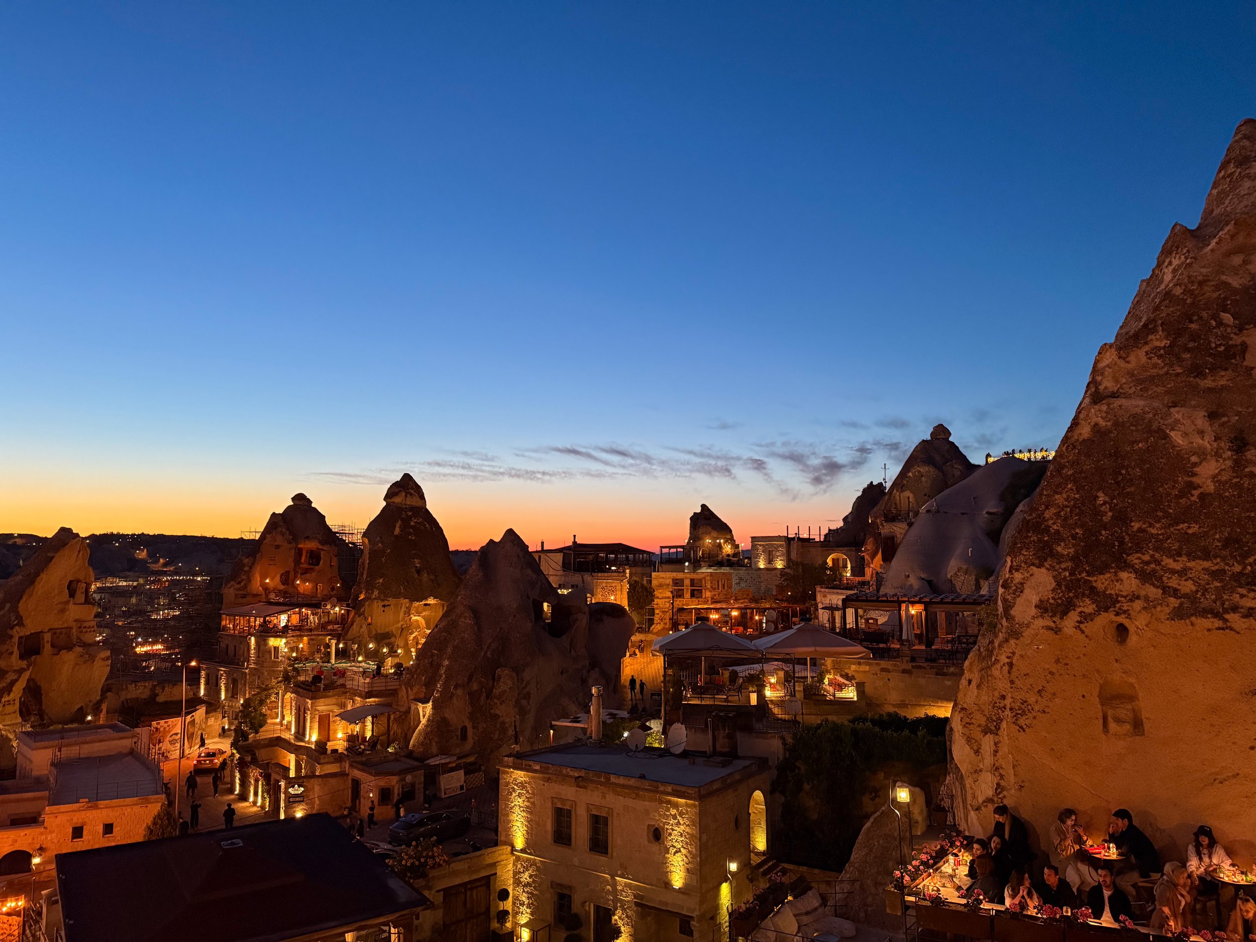
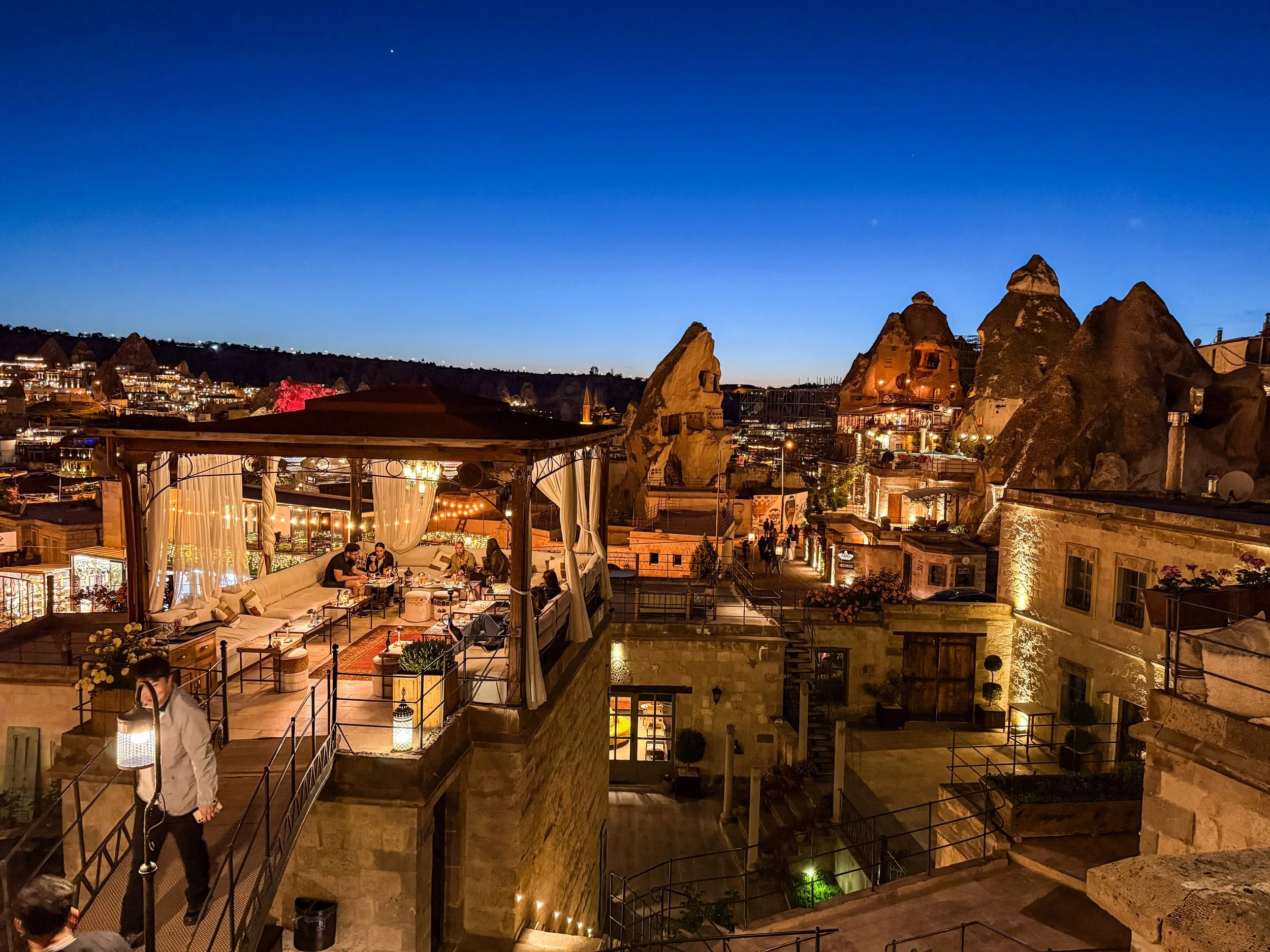
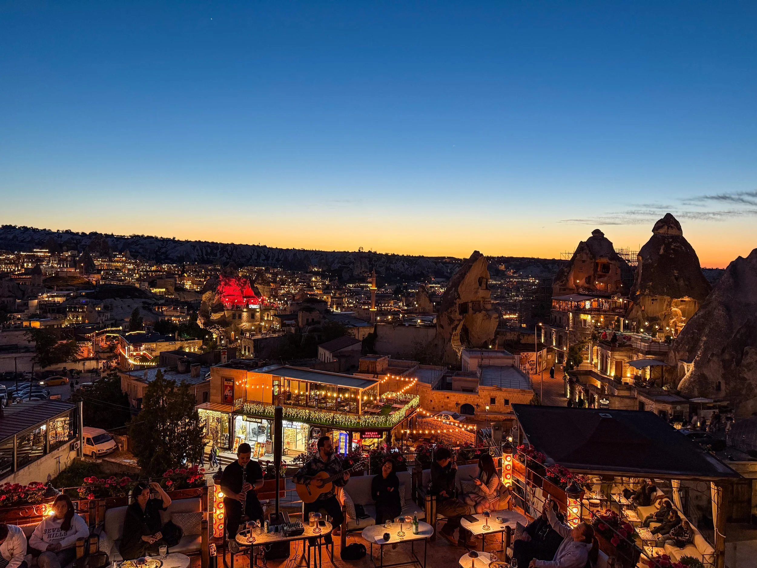
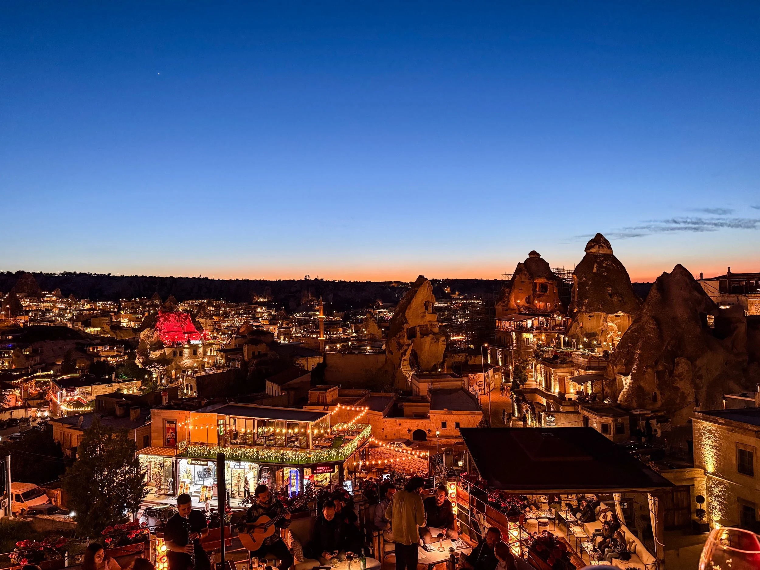
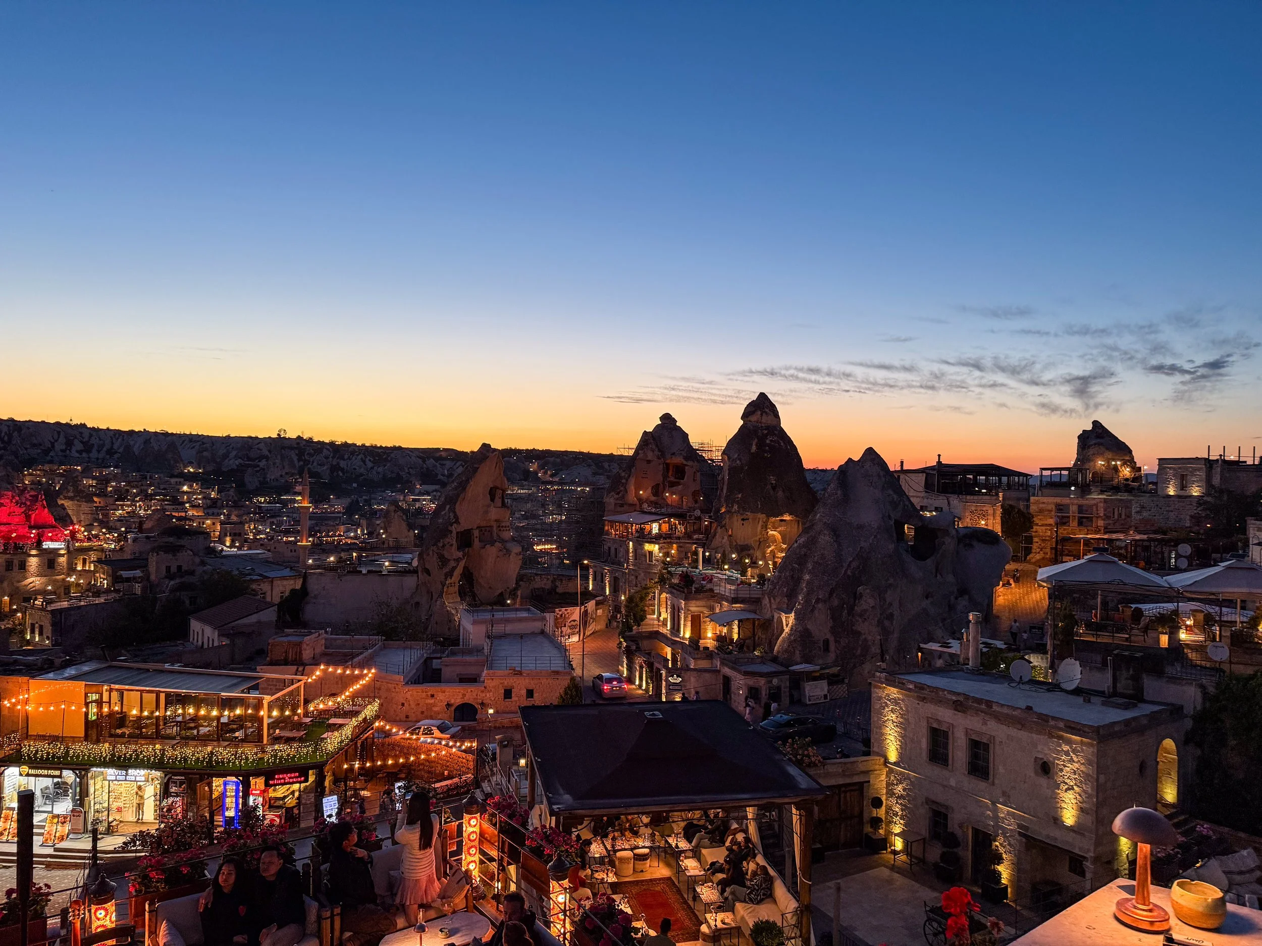
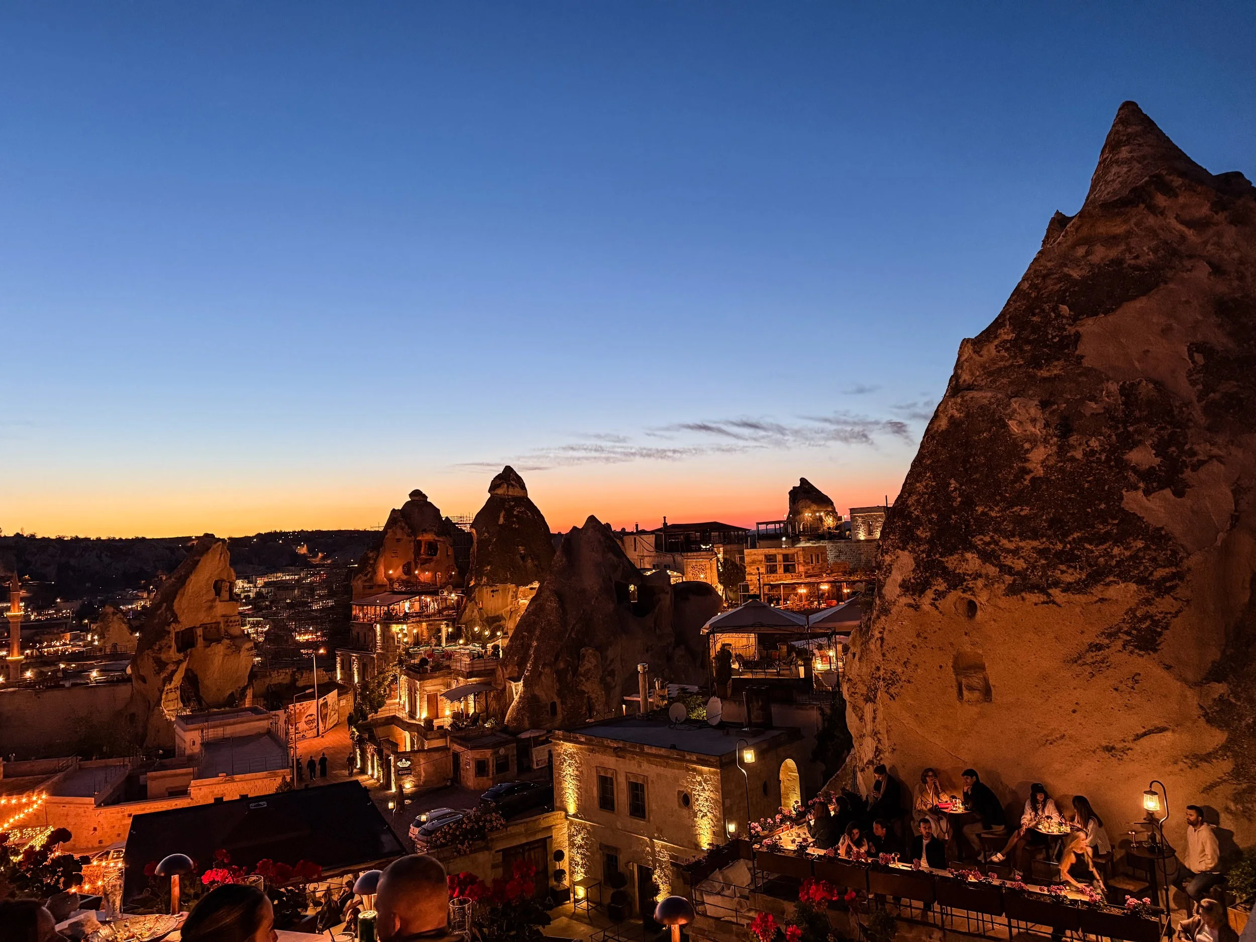
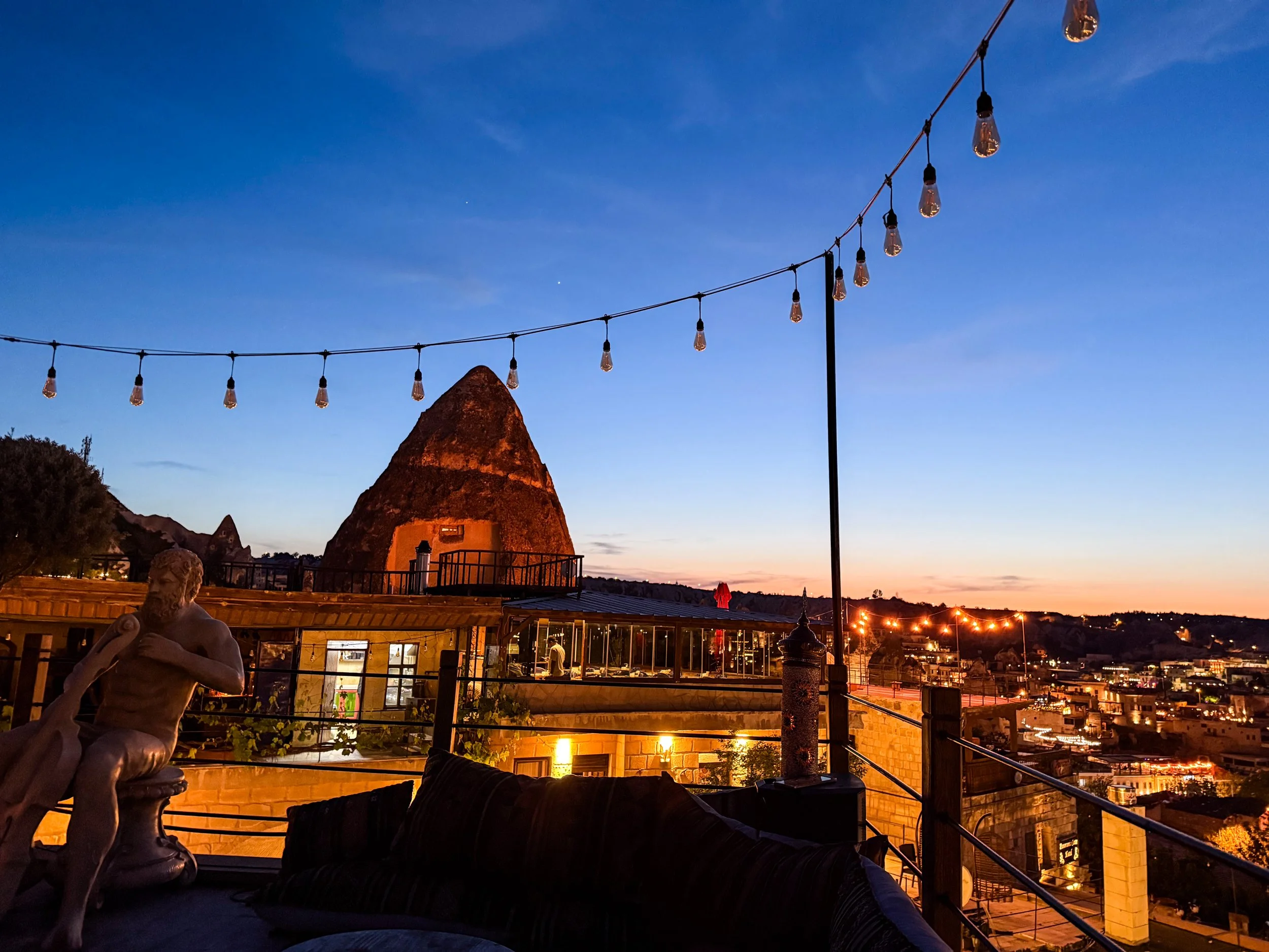
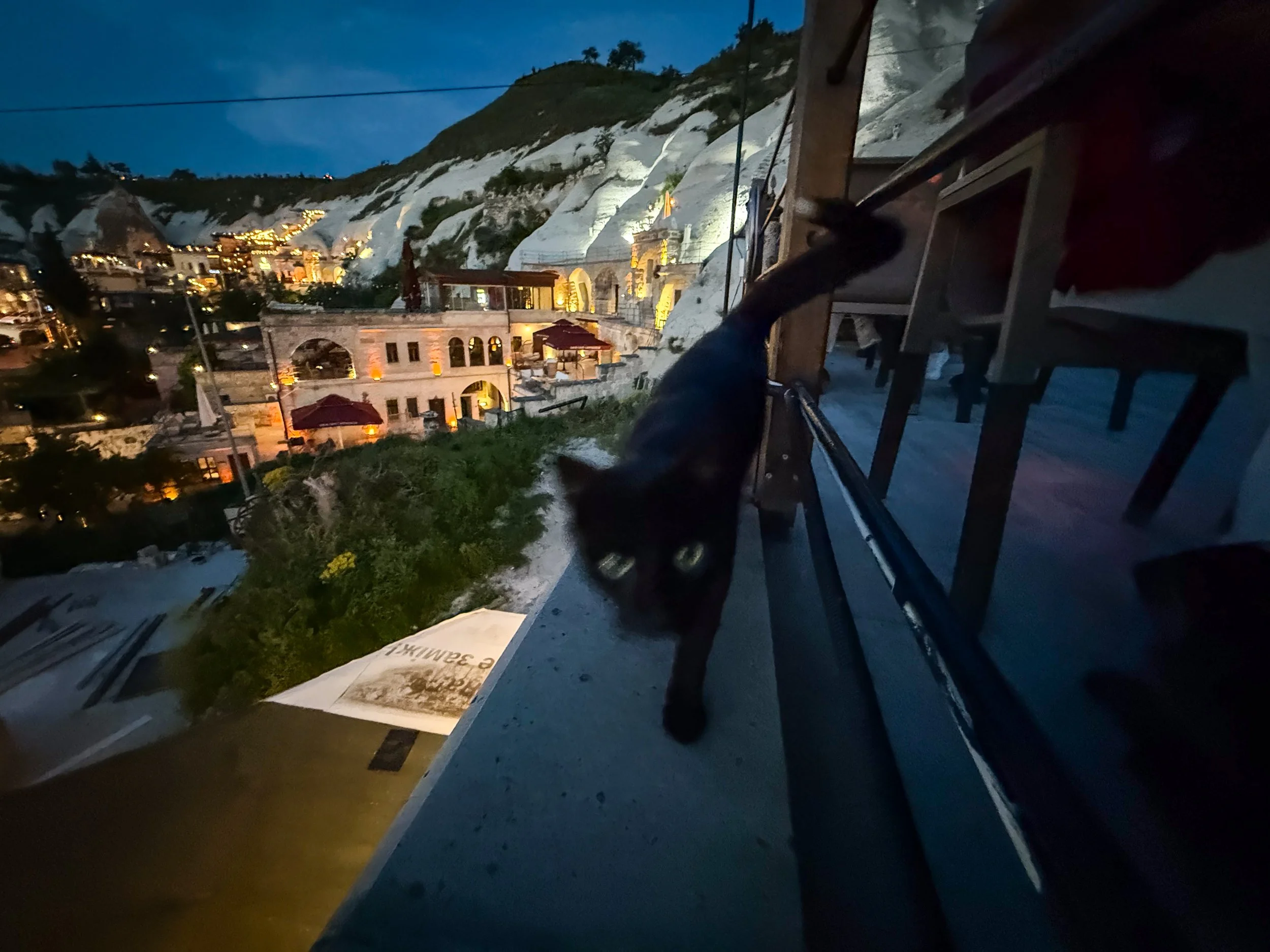
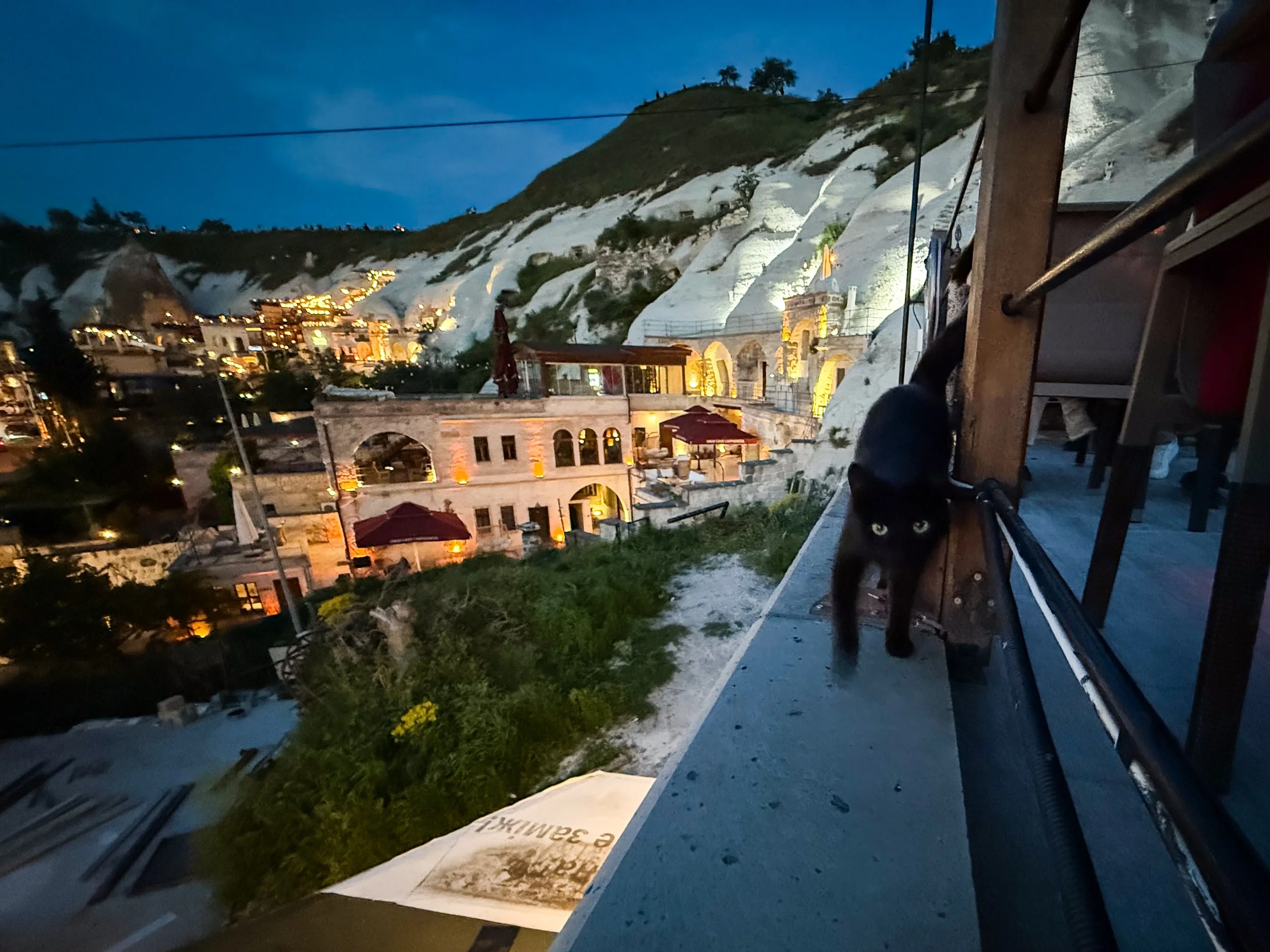
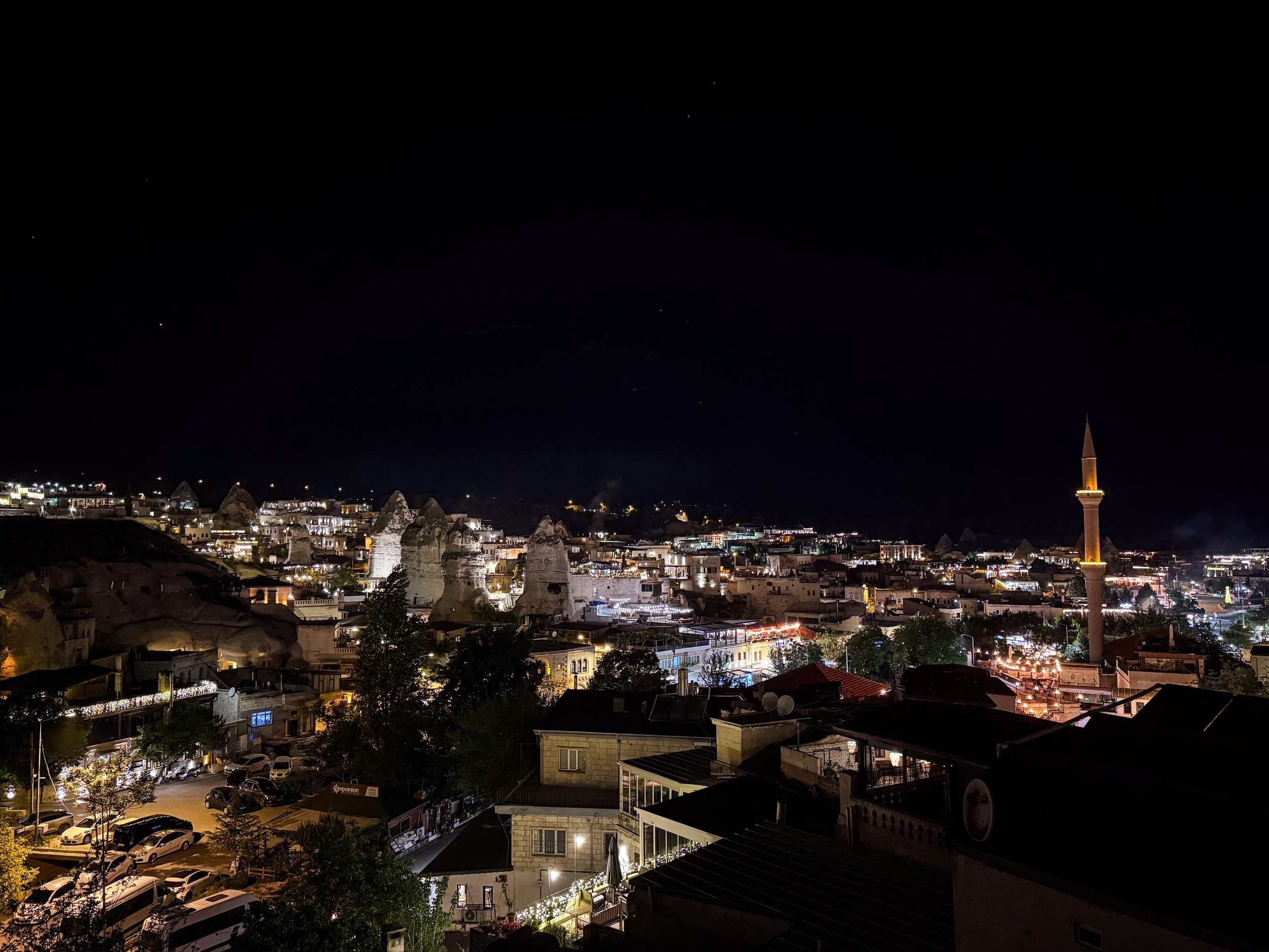
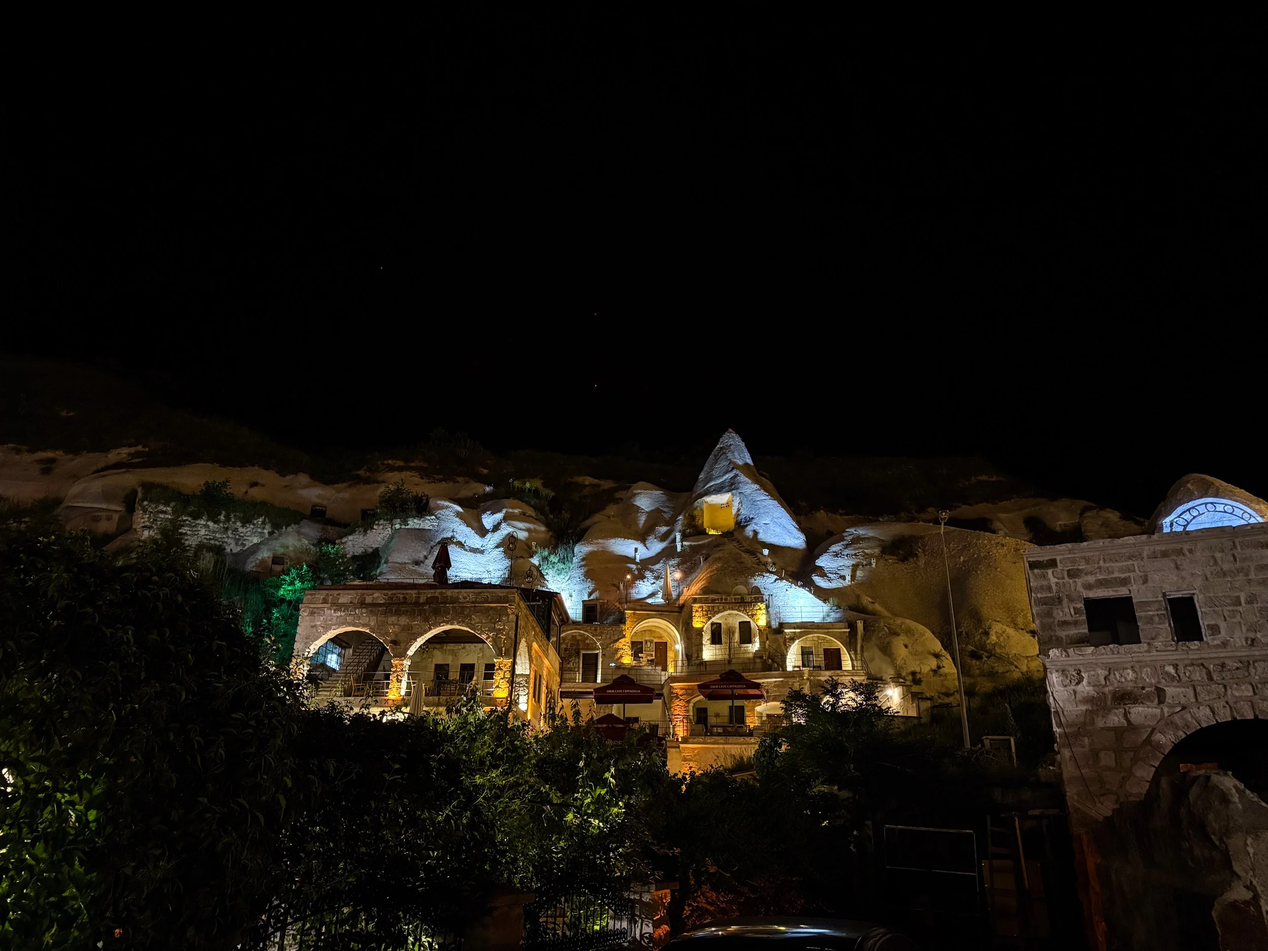
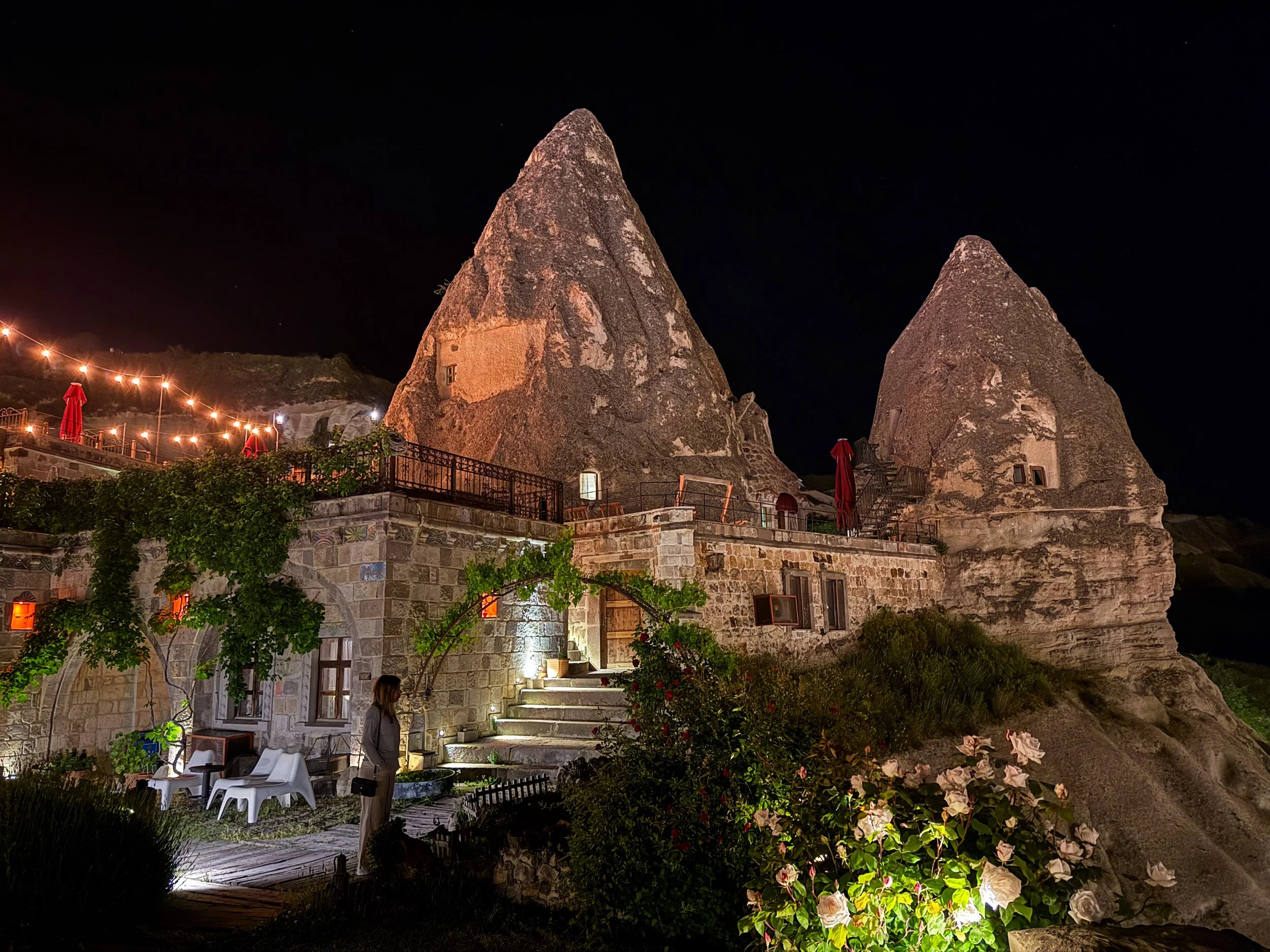
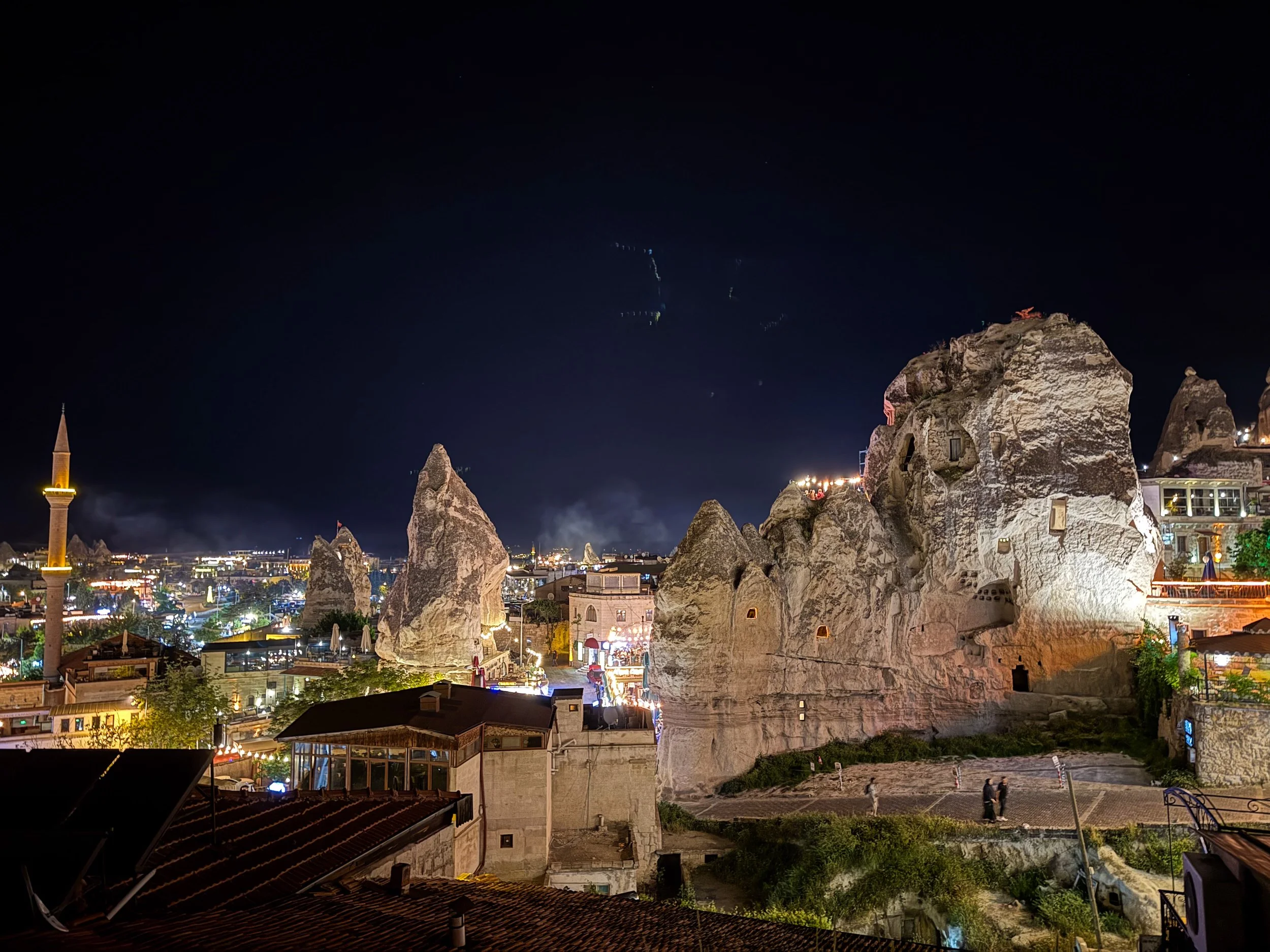
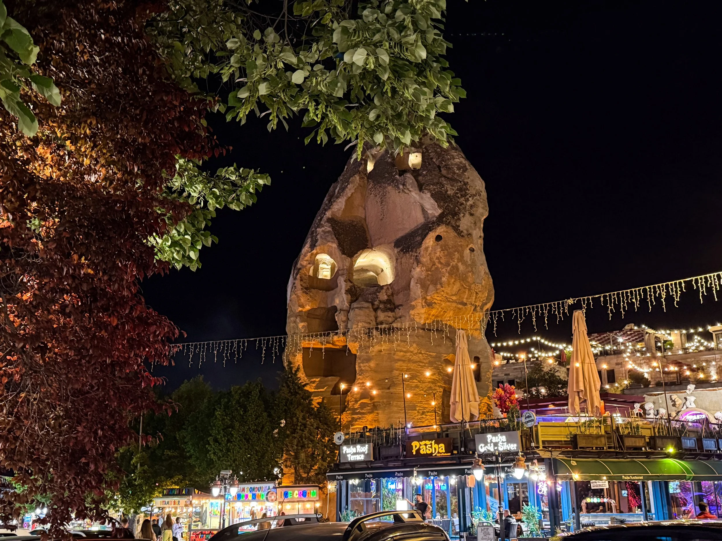
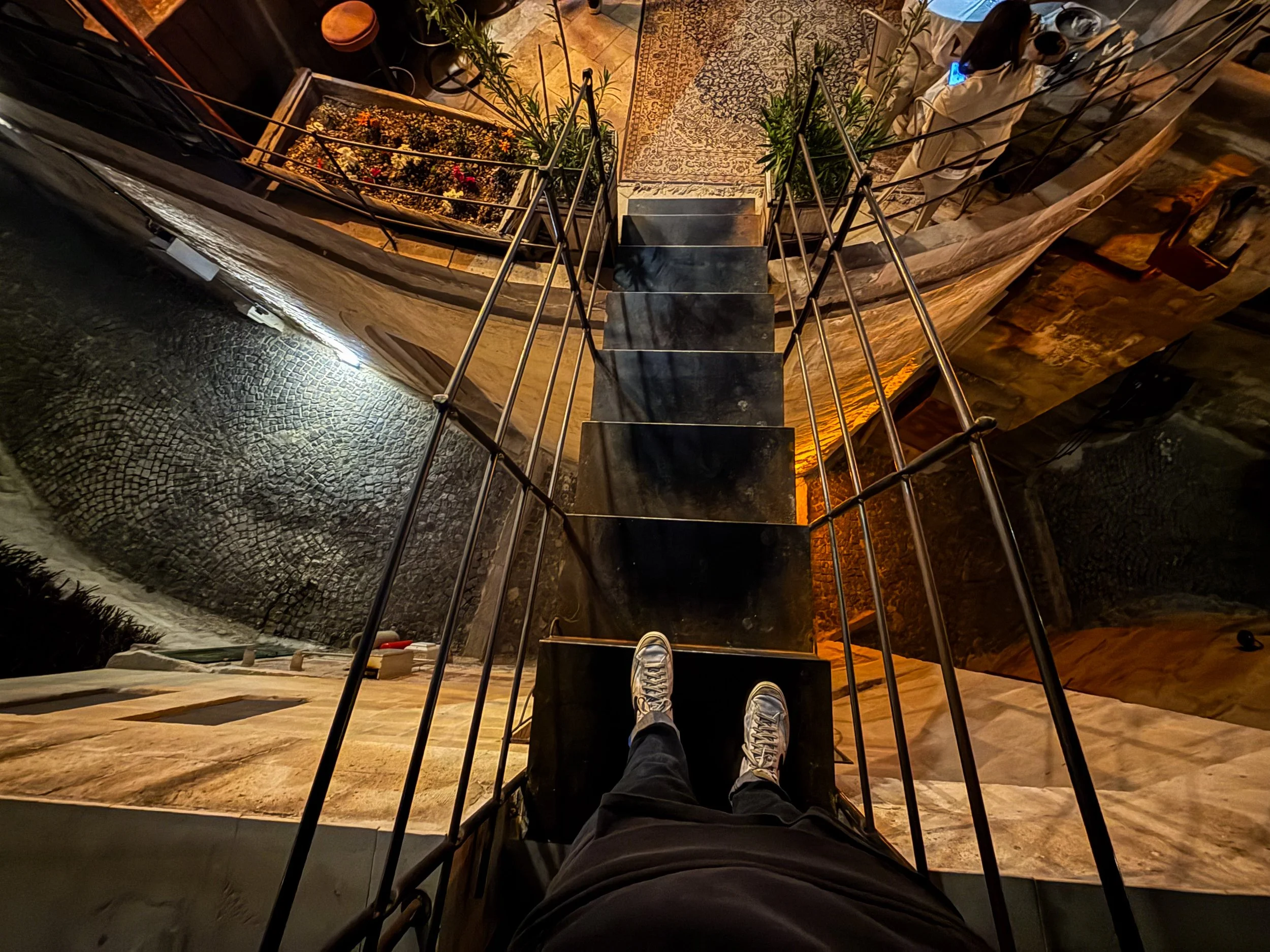
I very much preferred exploring Göreme by night than by day. When the intense sun and hot temperatures had faded away, this little town really turned into something special. I know it can get quite cold here, so it’s definitely a summertime destination. Now that sunset is over, let me continue our nocturnal explorations. In the first two photos in the gallery below, please notice that (1) the way the carve-outs of this urban fairy chimney are illuminated make it look like a giant face, and (2) this is a staircase that goes over a narrow cobblestone street far below.
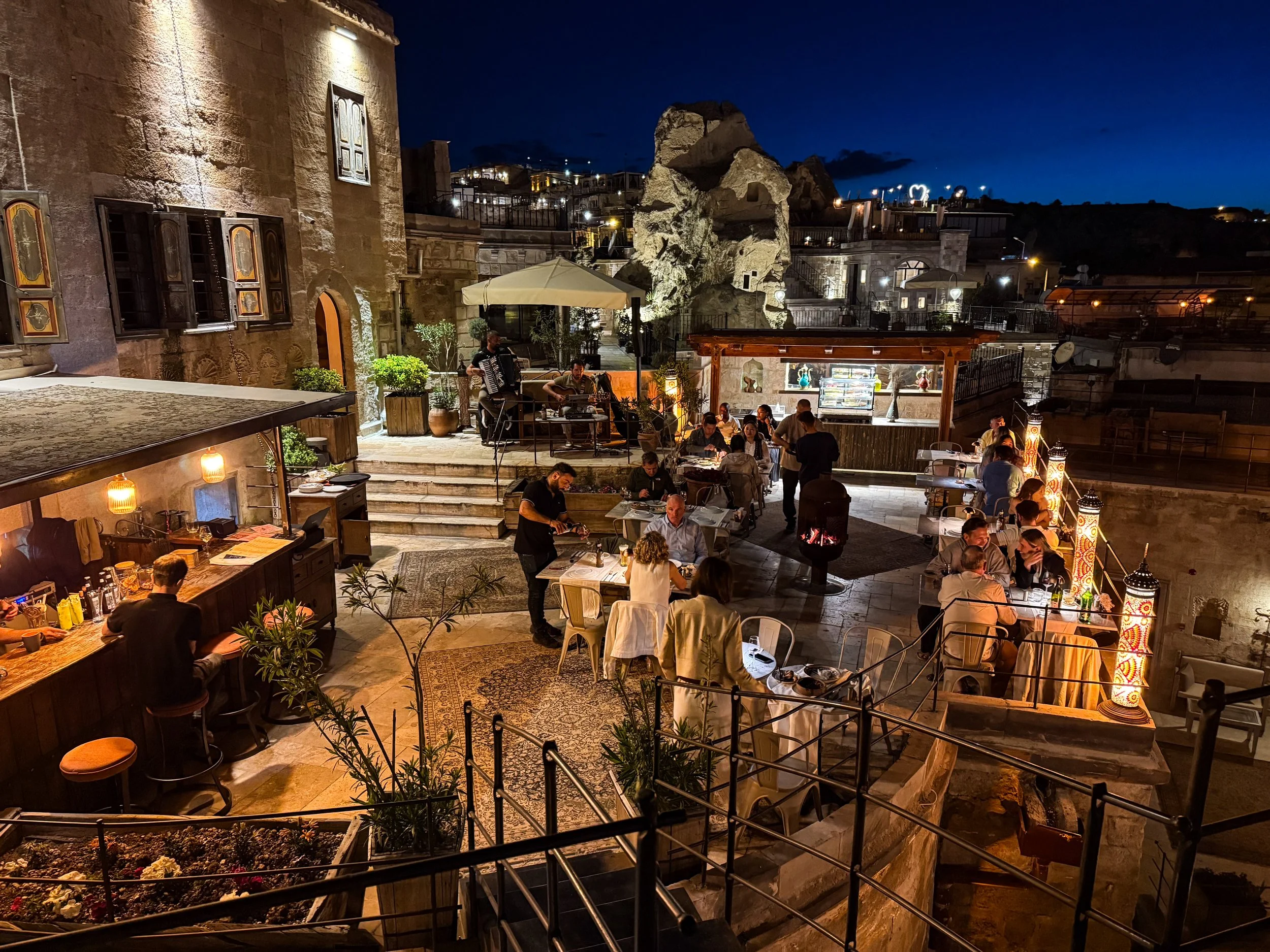
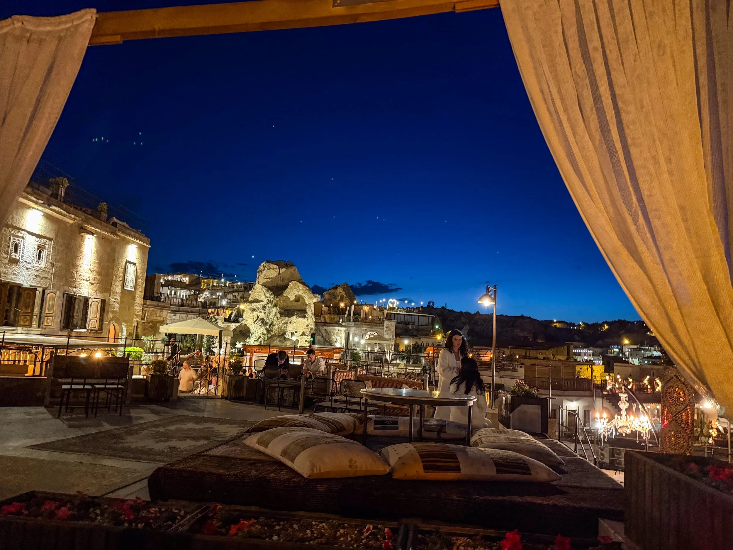
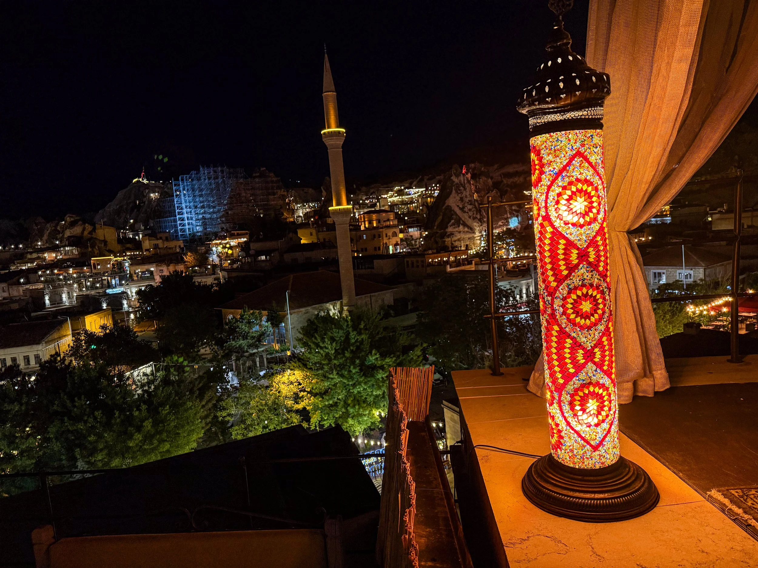
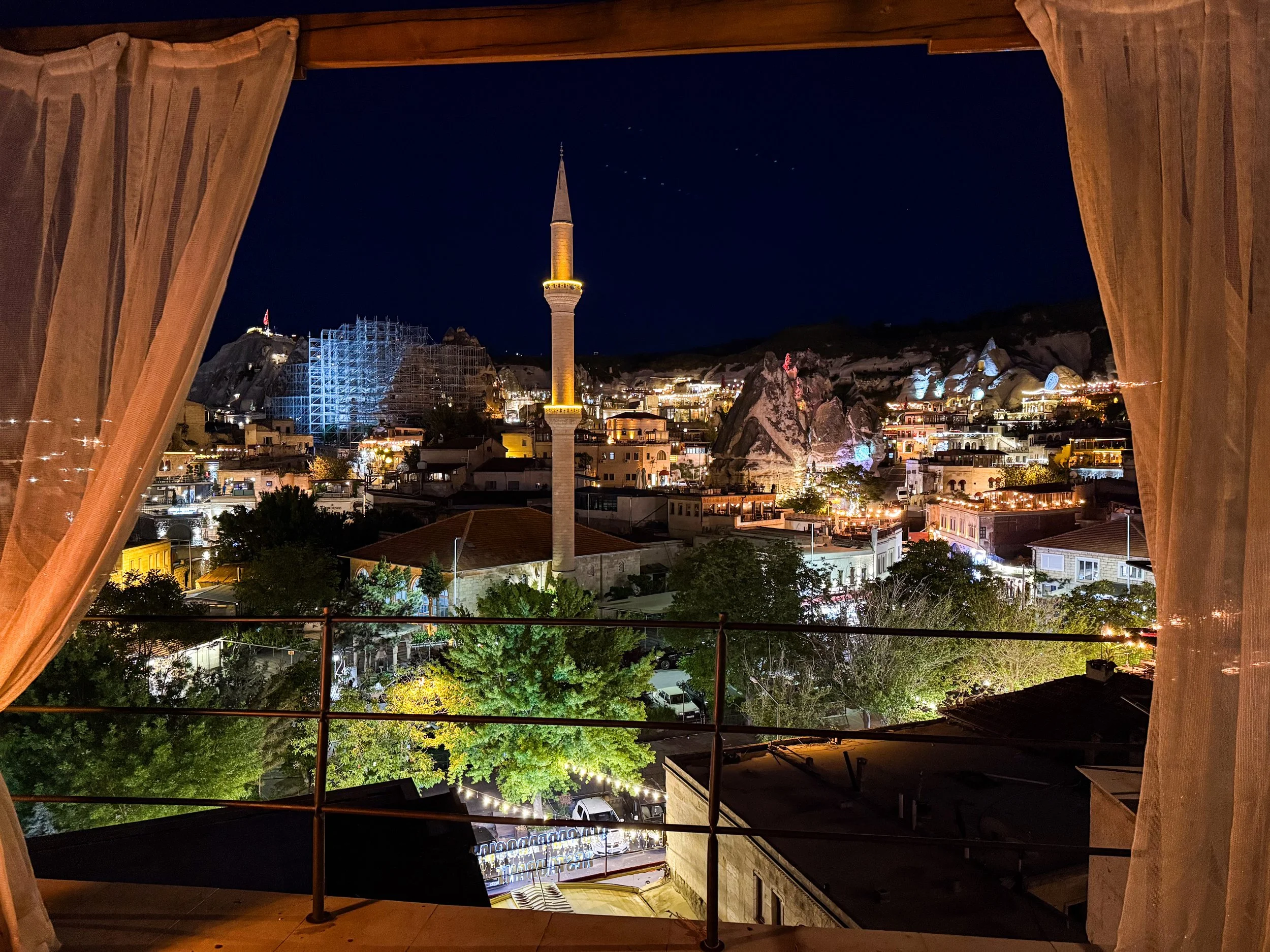
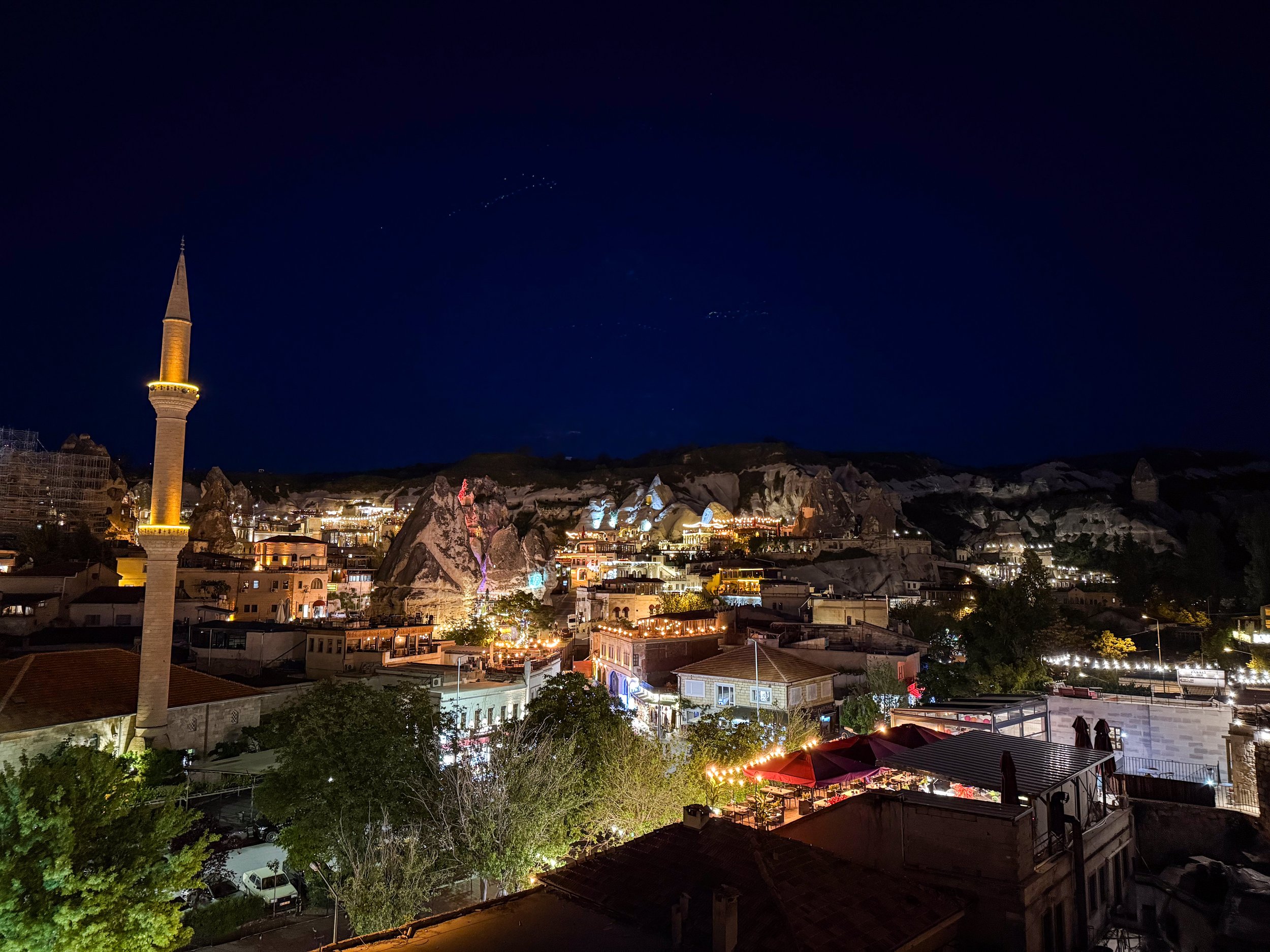
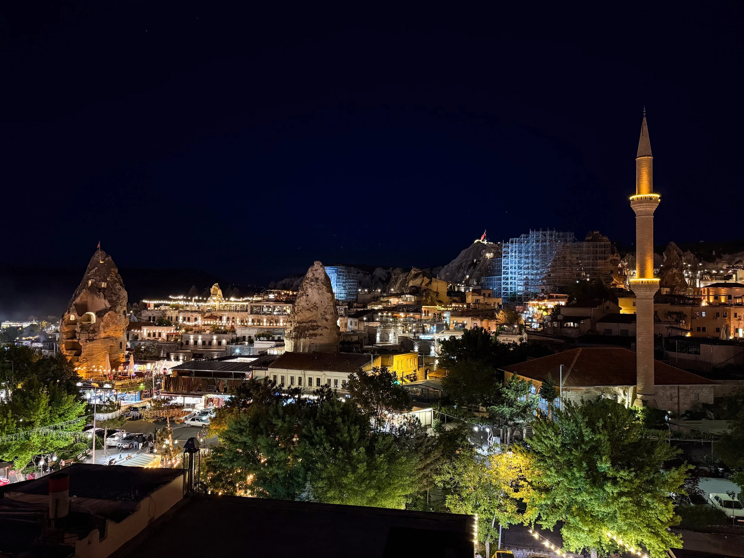
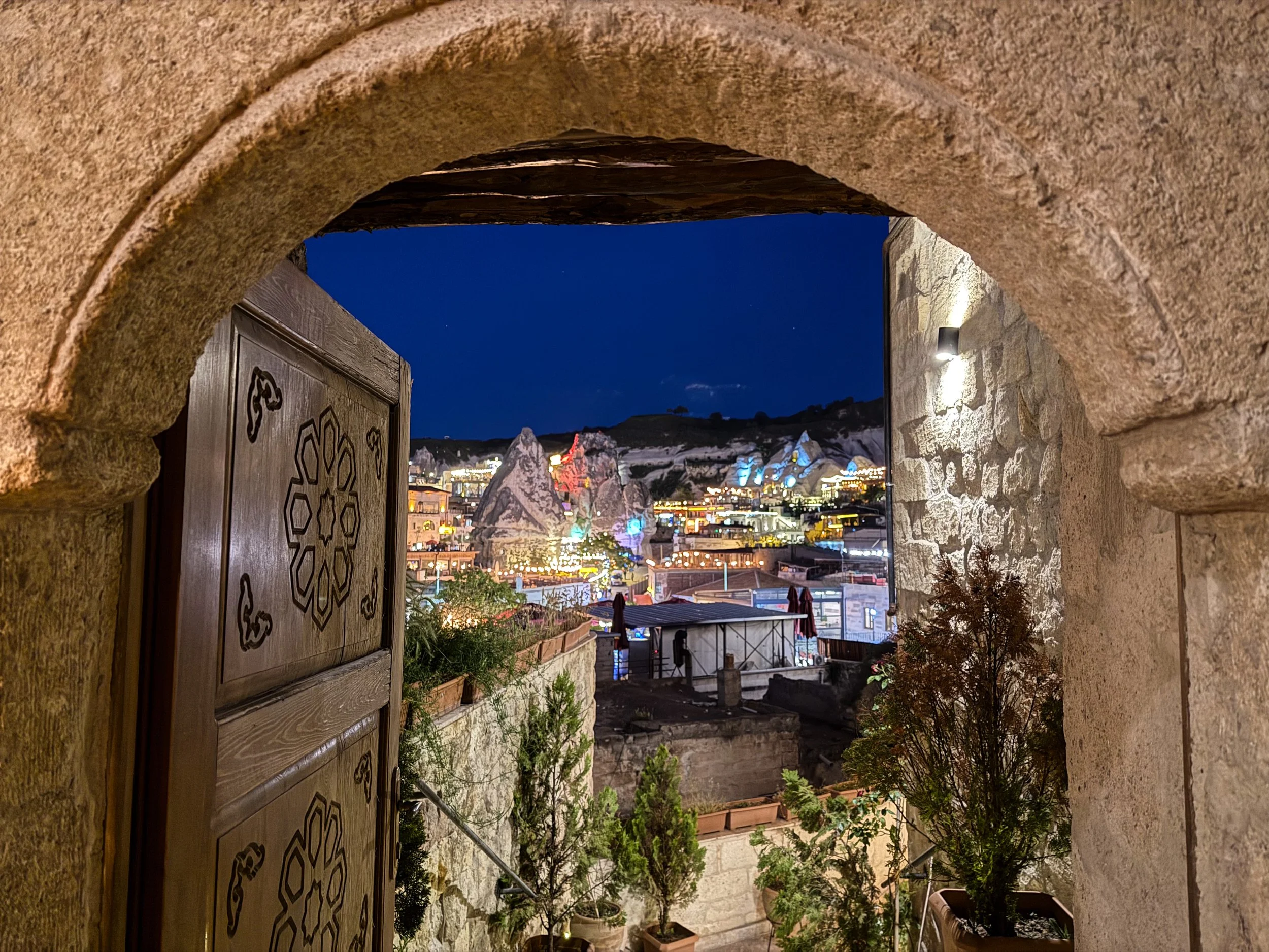
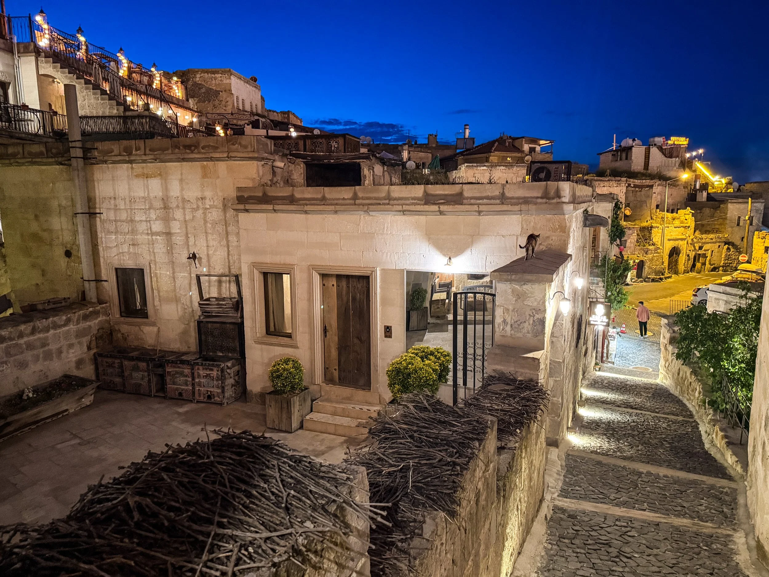
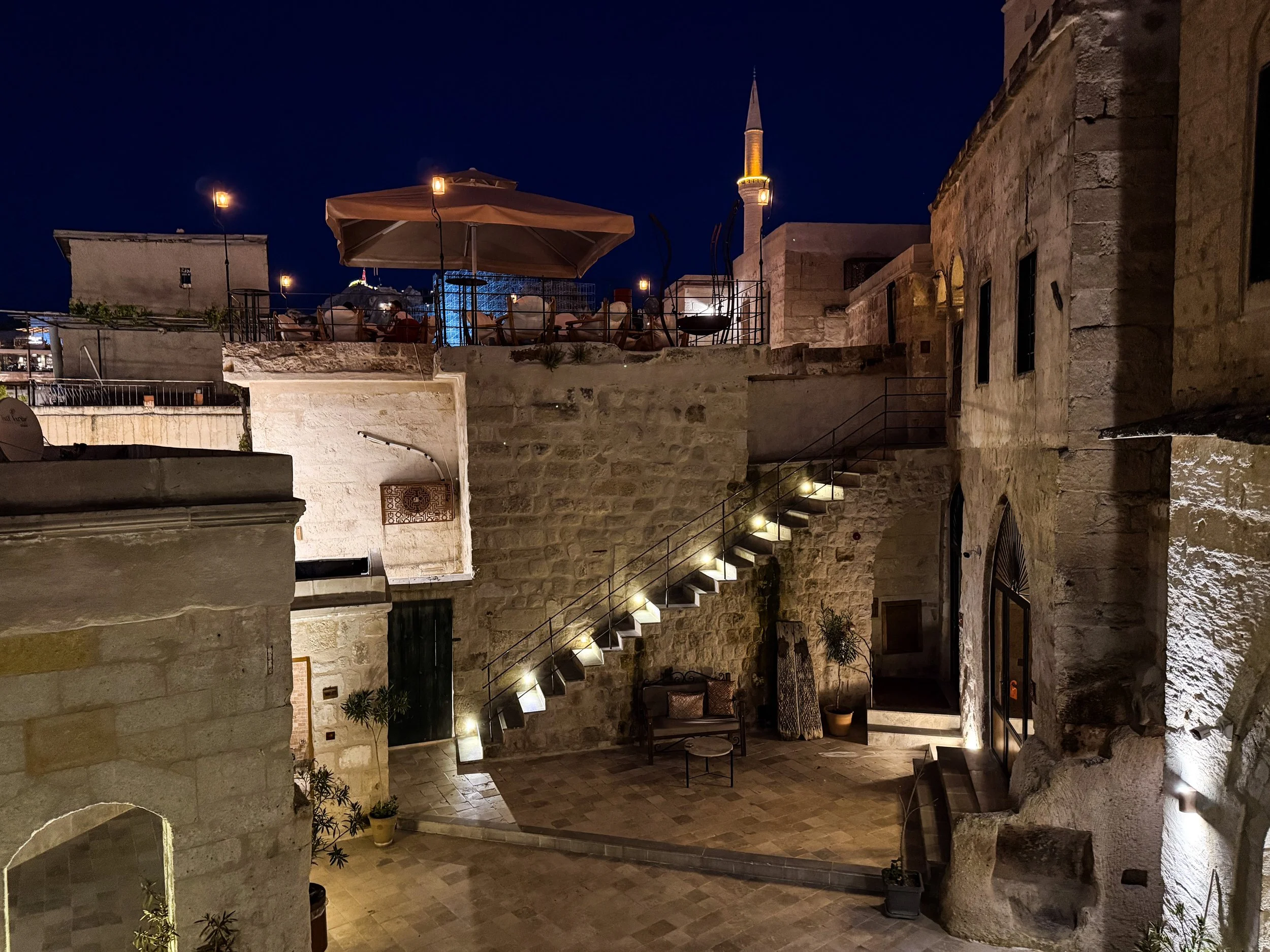
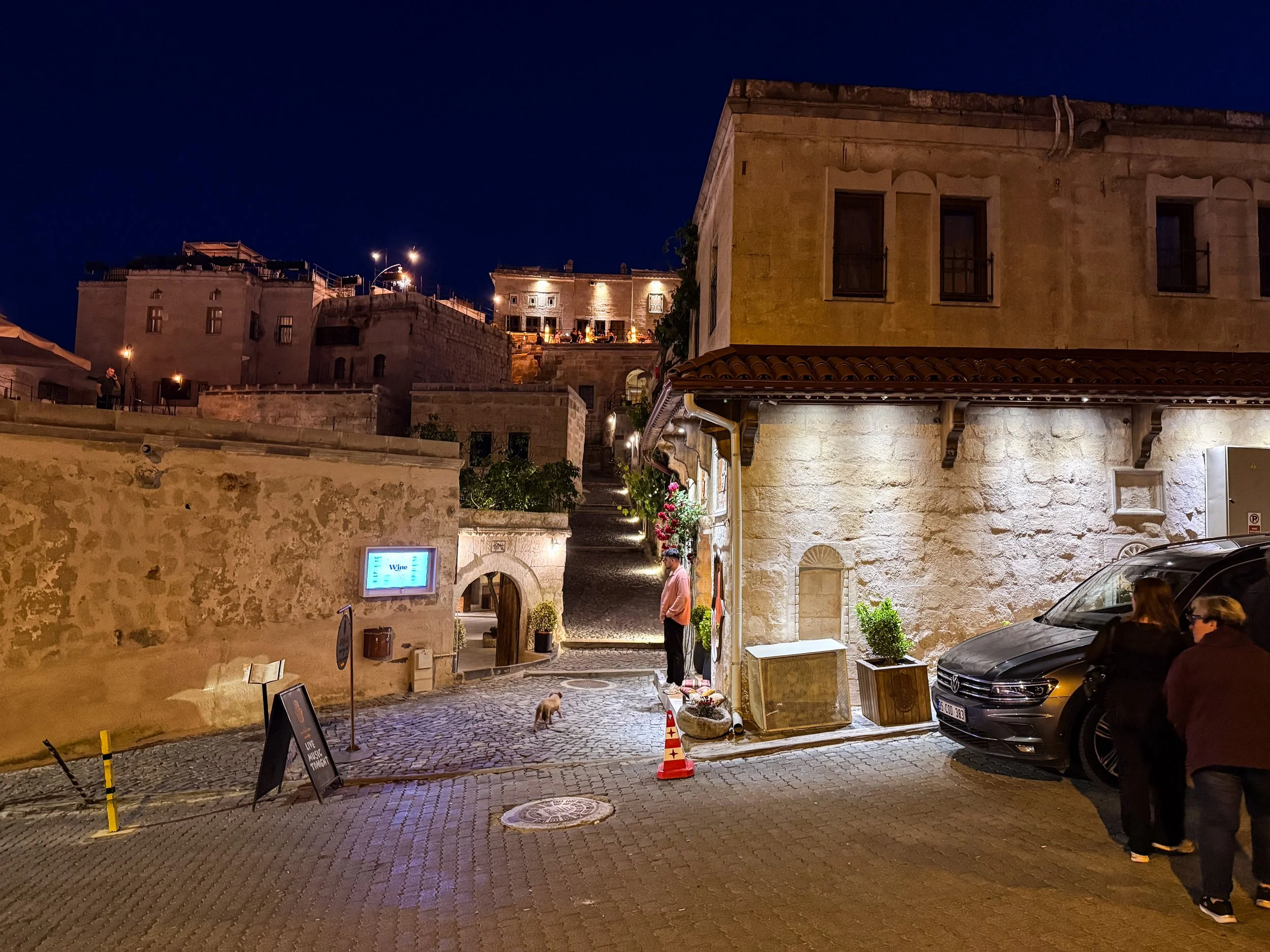
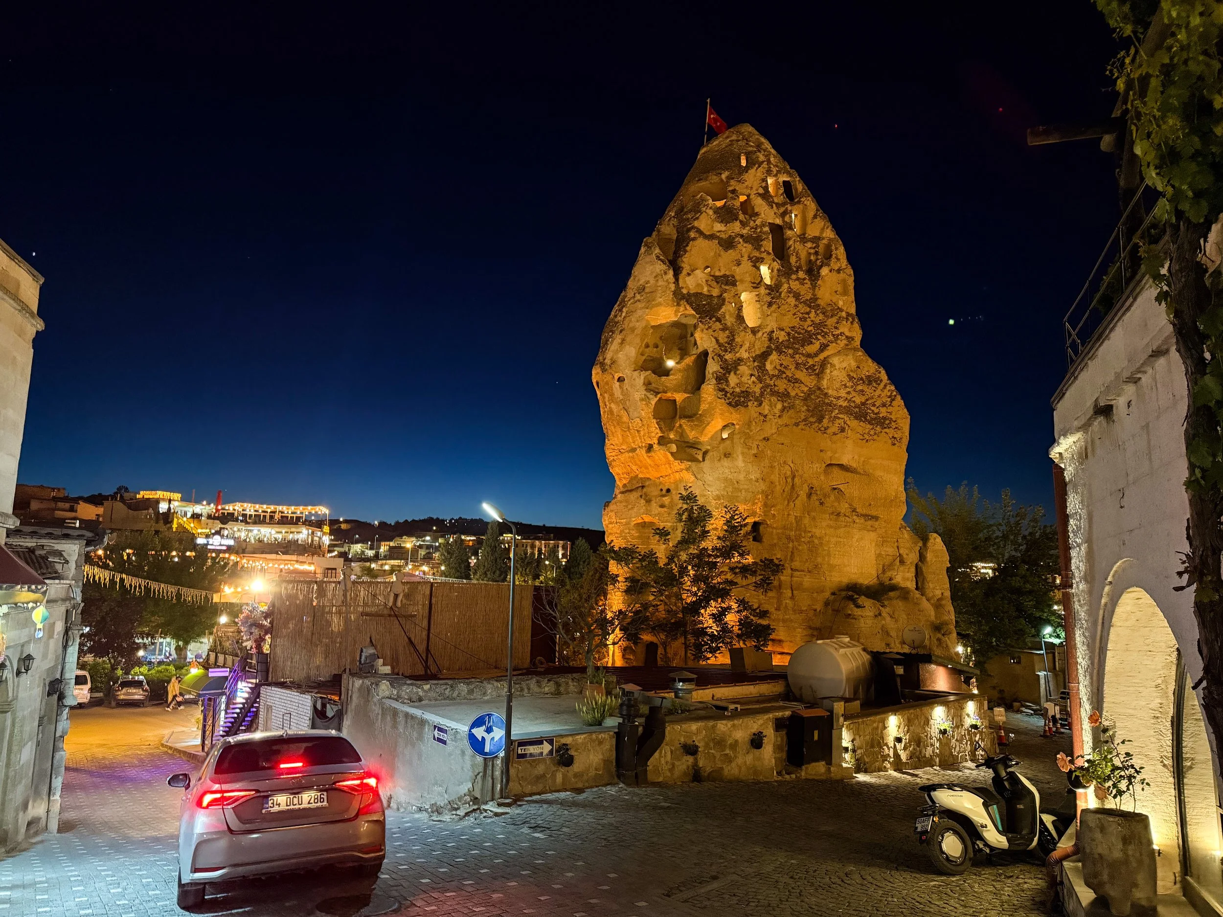
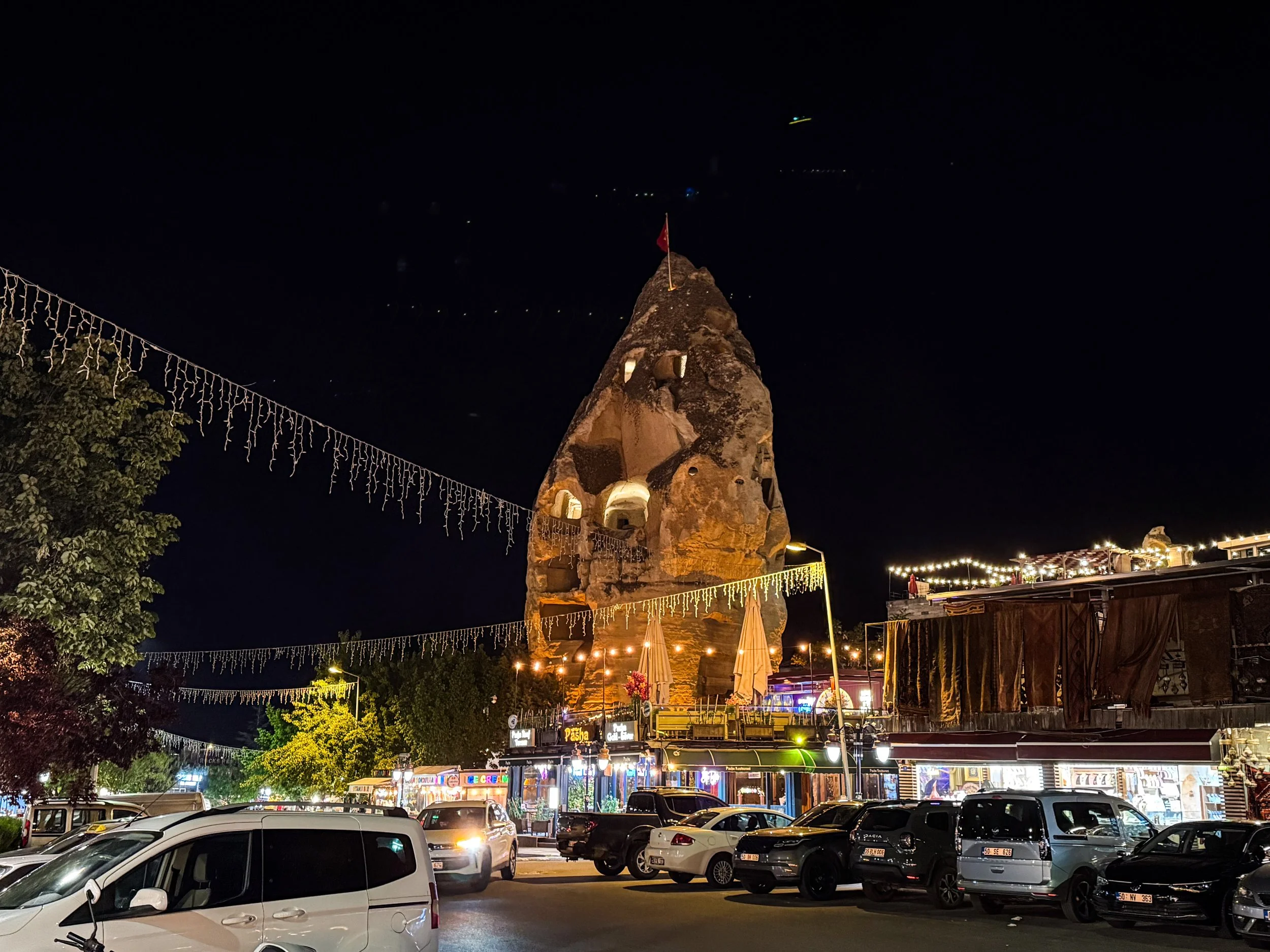
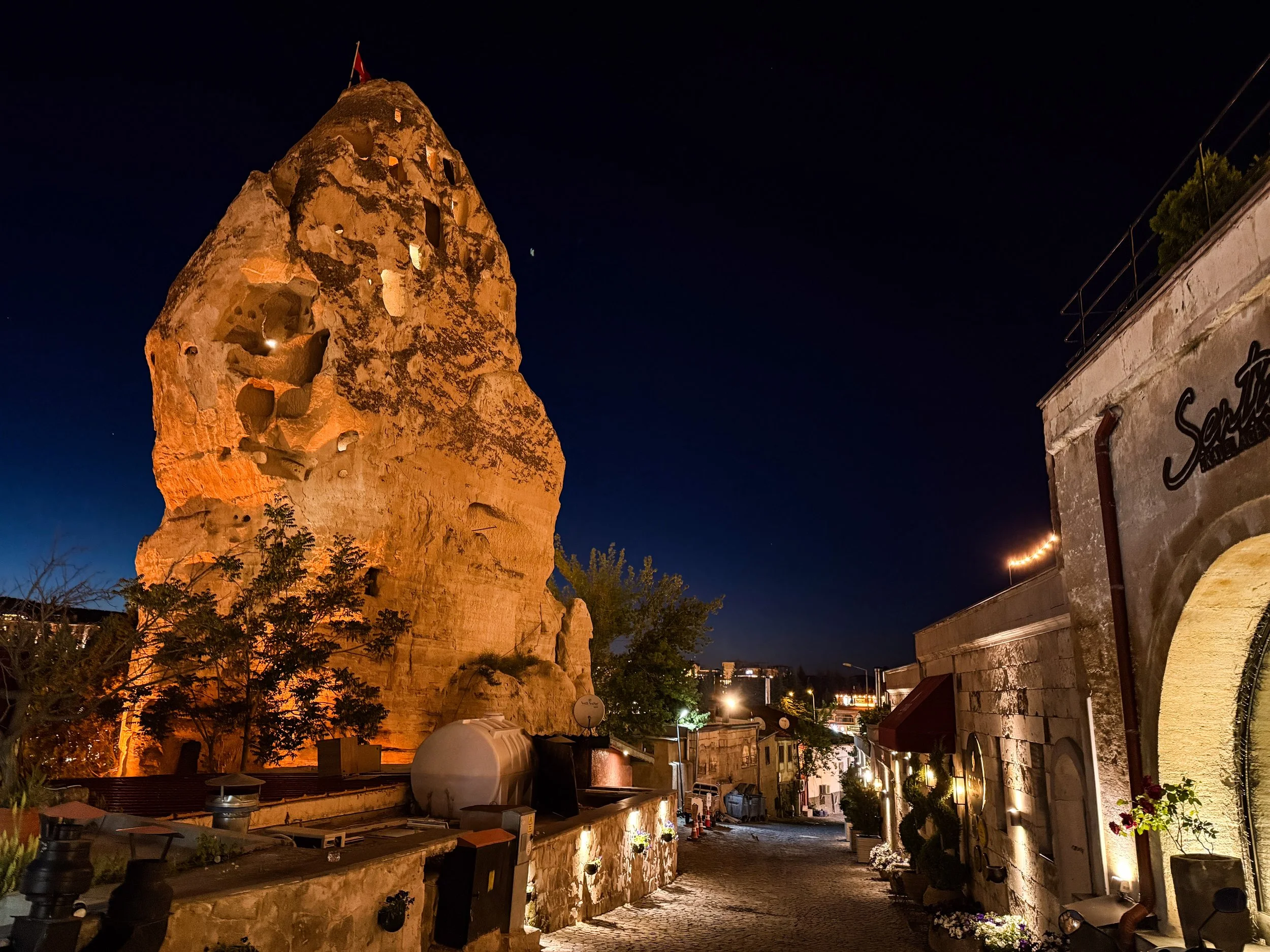
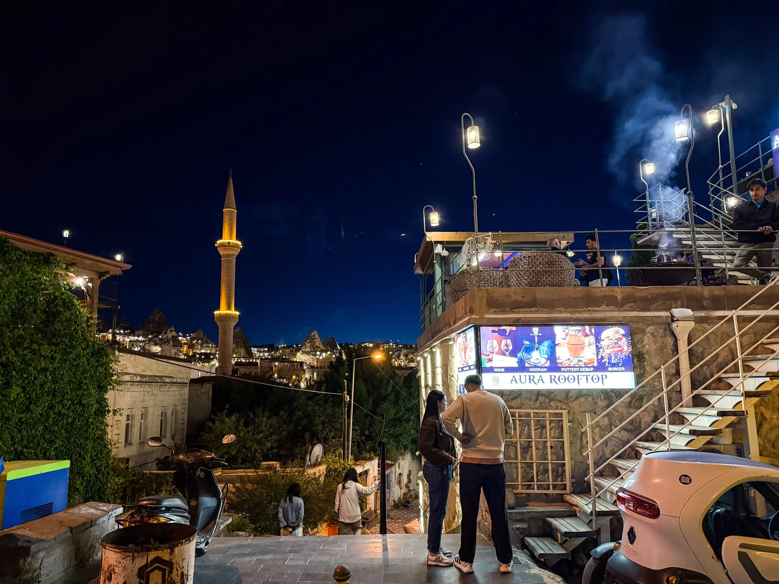
This is where the article should have ended… but we had an unexpected run-in with the Turkish police. 😬
We were driving back from Göreme to our cave hotel in Ortahisar, which was roughly a 15 minute drive through a massive, empty swath of arid land. With the lights of Göreme fading in the rear view mirror, everything was quite dark, save for the headlights of passing cars. Just then, I saw a few police cars pulled over on the side of the road ahead of me. And then, as my rental car sped toward them, one of the police officers sauntered out into the middle of my lane and motioned with a flashlight for me to pull over. Not a great sign, but I wasn’t doing anything wrong, so there was no need to worry…

The officer asked a couple of questions, inspected my passport, and then nodded, indicating that I was free to continue on. A friend living in Türkiye would later explain to me that they’d been on the roadside fishing for drunk drivers. It had been a Saturday night and, in an area so full of western tourists, it’s a good bet that could catch some people driving back to their hotels after a couple drinks. It was also an Islamic holiday at the time, which brought with it a temporary period of reduced tolerance for the use of alcohol. I hadn’t drank anything that evening, but let this be a lesson to you if you’re planning a trip to Cappadocia. Be careful! You do not want any trouble with the Turkish police. 👀
This was a long article, so if you’re still with me, thank you. ❤️
Up next we’re going to dive deeper into Cappadocia, but with a new focus: nature. And we’re going to end that article with the grand finale of this series, and indeed, the reason Cappadocia is probably on your radar in the first place: the hot air balloon rides! Get your hopes up because I’ll have a video to share with this one as well, which is not my usual medium. This was seriously one of the most incredible things I’ve ever done. It barely even feels real when I look back on it.



Istanbul has a chain of islands just off the coast that contain full-on neighborhoods. The Princes’ Islands are a chain of 9 islands just off the coast of Istanbul in the Sea of Marmara, but only 4 of them have substantial populations: Büyükada, Heybeliada, Burgazada and Kınalıada. Combined, they constitute the Adalar district of Istanbul. This is an interesting area to explore not only for the scenery, but because these islands embody and preserve the diversity of Istanbul in some fascinating ways.